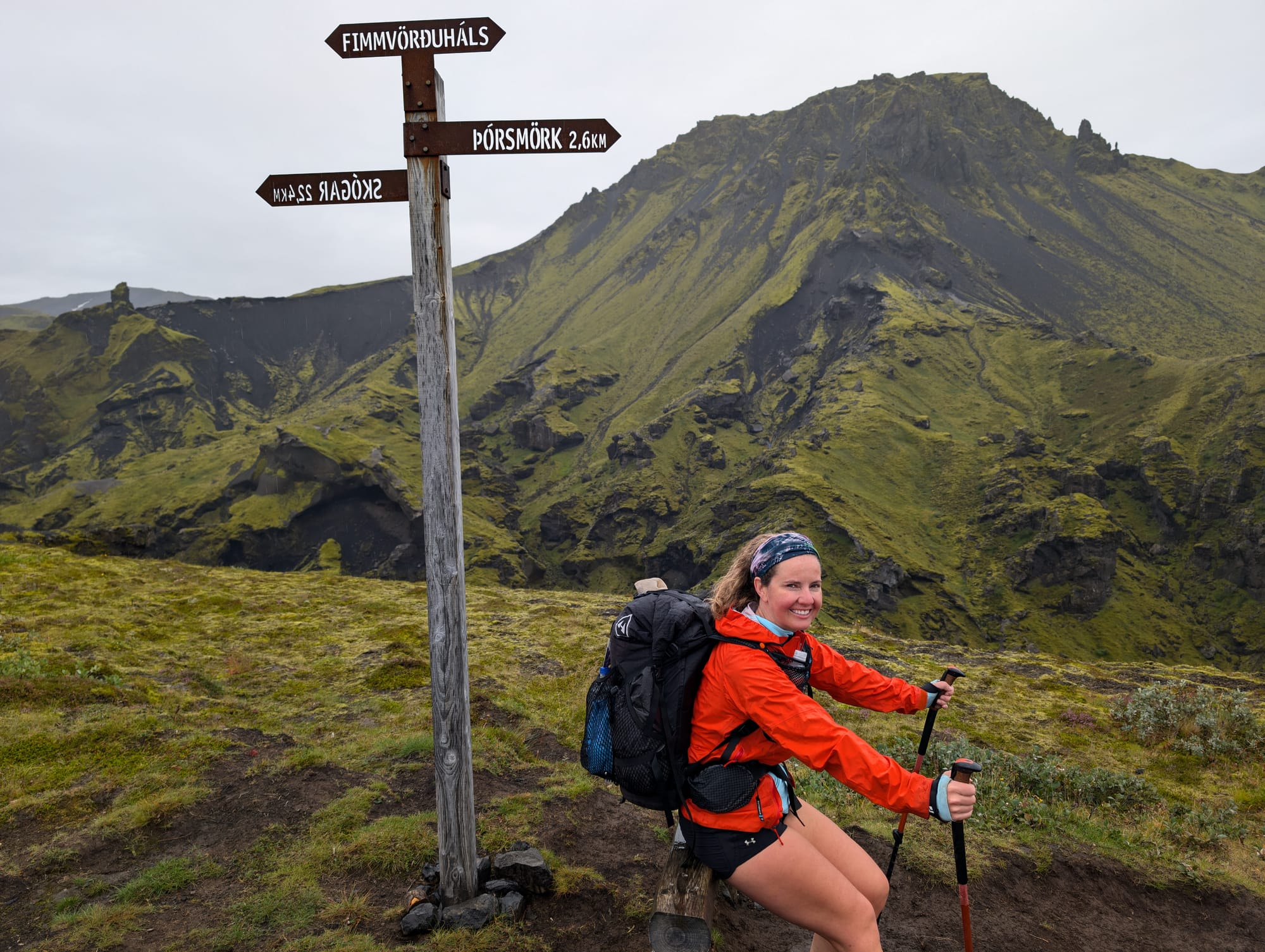
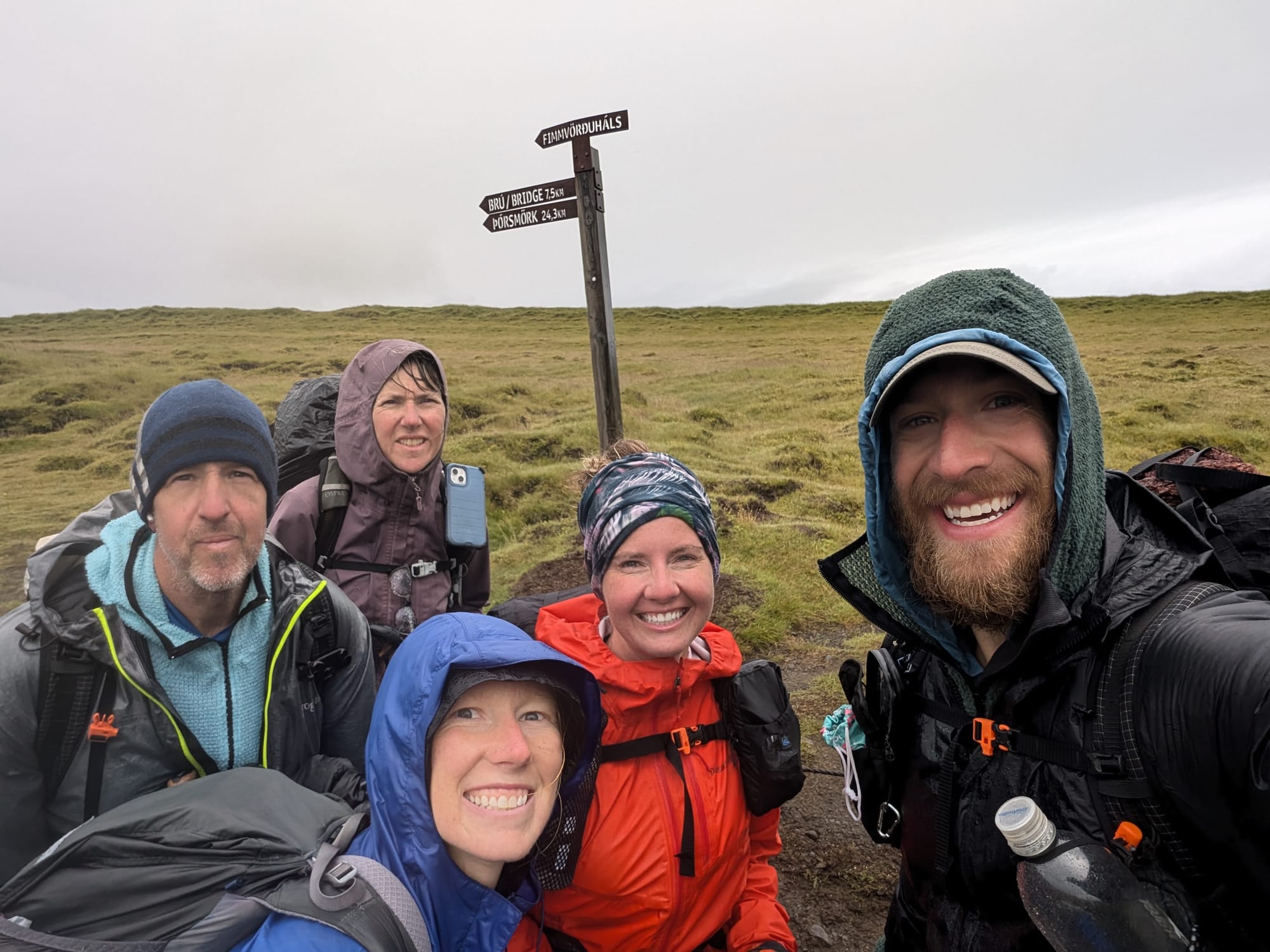
Laugavegur Day 4 - Fimmvörðuháls
We started in light drizzle. Not enough to stop anything, just enough to make you second-guess layers and keep the hood up. Then it cleared, and the day turned into one long lesson in exposure, route-finding, and why this stretch is its own hike, not just “the last day.”
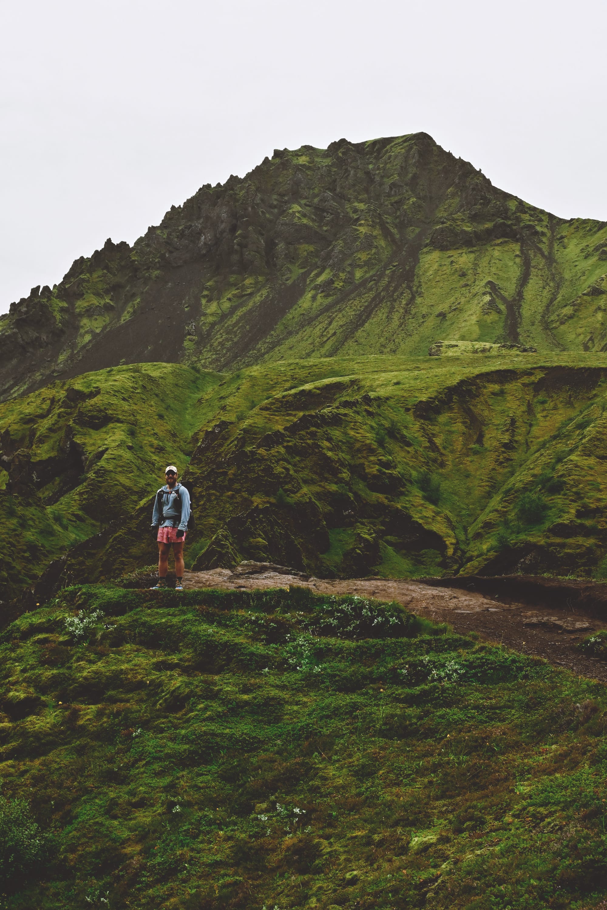
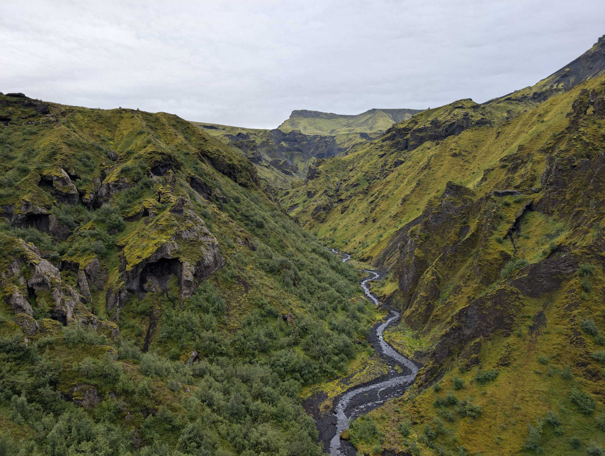
Fimmvörðuháls is the handoff between worlds. You climb out of Þórsmörk’s sheltered green and onto an exposed ridgeline that sits between two ice caps. It’s where Iceland’s main ingredients overlap in one day: volcano, glacier, weather.
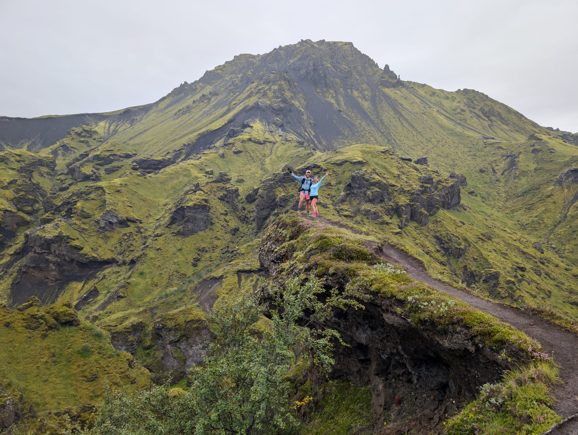
Big climb, exposure, and ridgelines
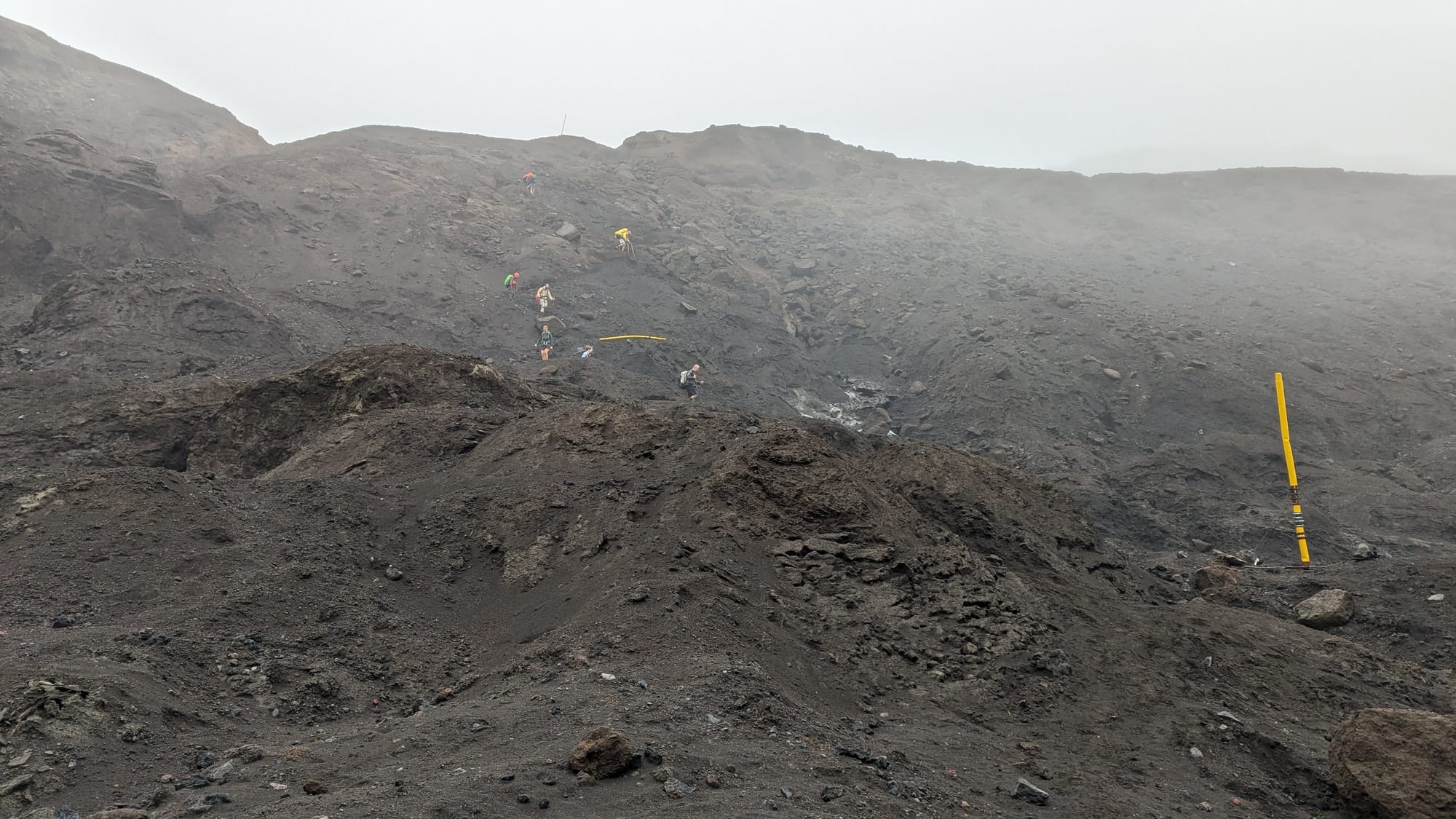
Leaving Húsadalur, you gain elevation fast. The trail stops feeling protected and starts feeling like you’re walking on a spine. Wind comes and goes, temps swing, and the margin for complacency shrinks. This is the day where layers, pacing, and focus actually matter.
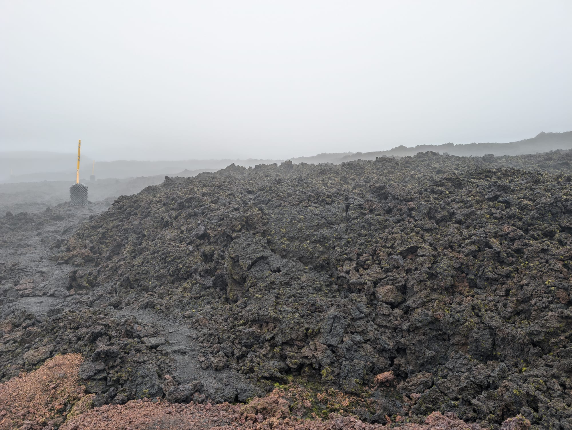
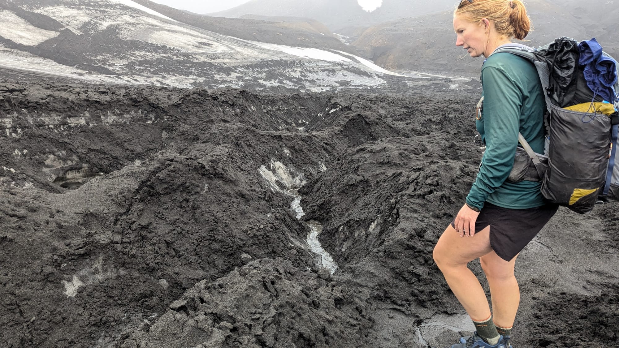
Fresh lava, unexpected texture
The volcanic rock today didn’t feel like “old terrain.” It felt recent.
Parts of this route run through lava fields tied to the 2010 Eyjafjallajökull event, when activity in this corridor put new ground in place between the glaciers. Up close the lava had more color than you’d expect. Dark overall, but with rust tones and mineral staining that shows when the light hits it right.
The bigger surprise was weight. A lot of it was sharp and jagged but light in the hand, which was the opposite of the obsidian earlier in the trek that felt smooth, dense, and heavy. I ended up carrying multiple chunks out. Not small ones either. Big enough to look ridiculous strapped to the outside of a backpack. I just couldn’t leave them.
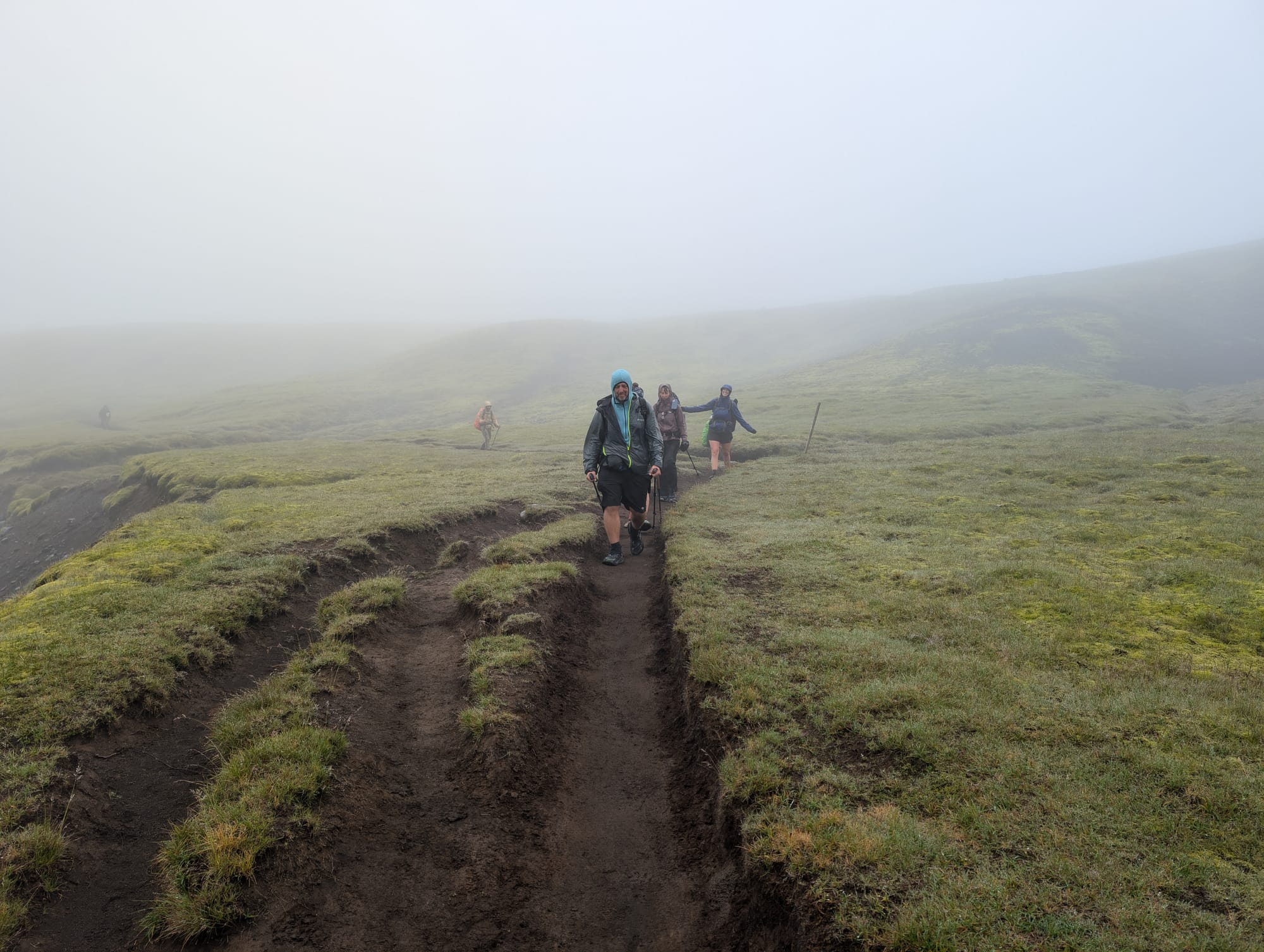
Fog navigation: yellow posts and patience
Then the fog rolled in and the day turned into marker-to-marker hiking.
You’d think you were off trail, slow down, scan forward, and eventually one of the yellow posts would show up faintly in the gray. Walk to it. Reset. Repeat. Not technical navigation, but it demanded attention and patience.
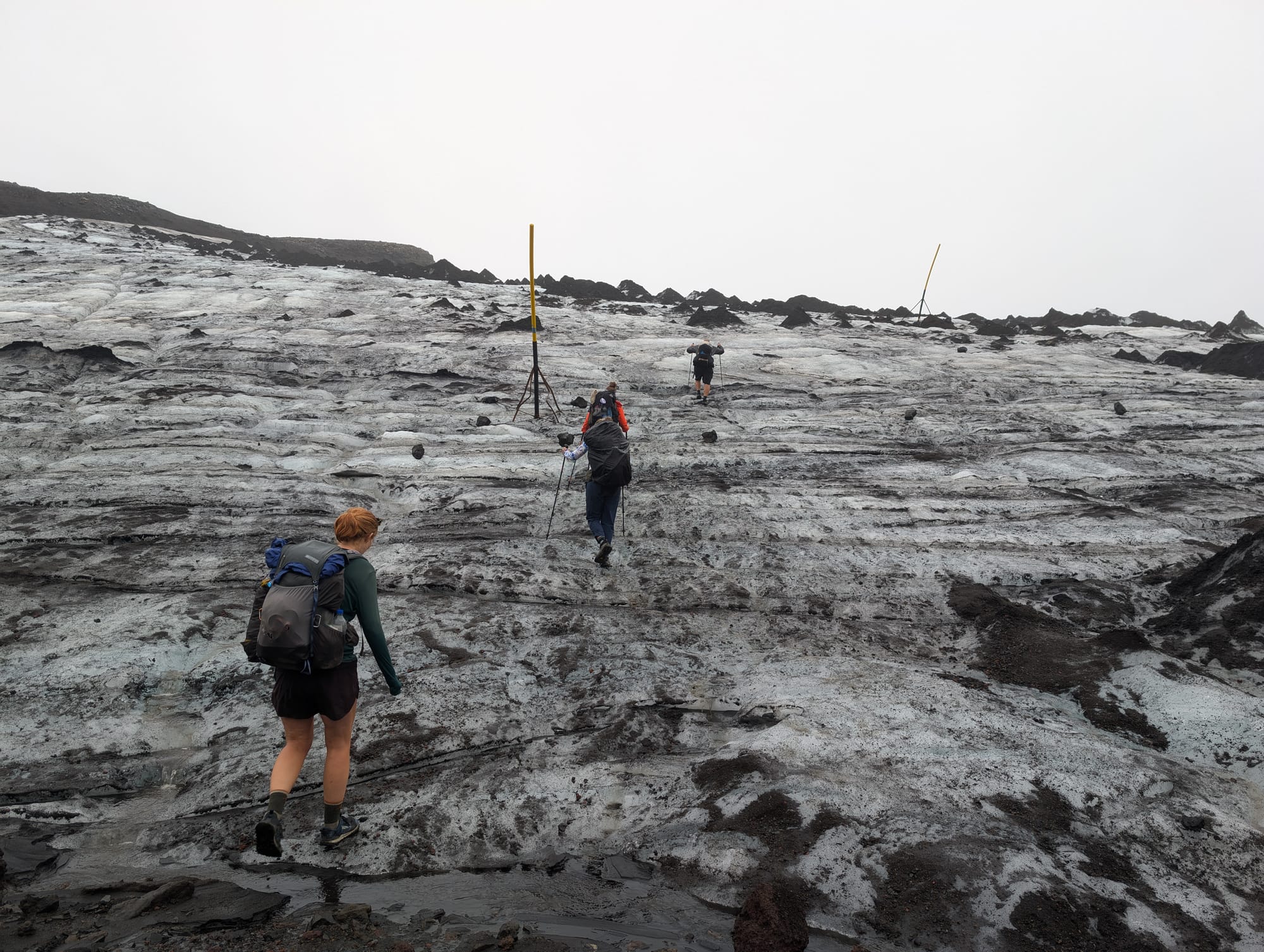
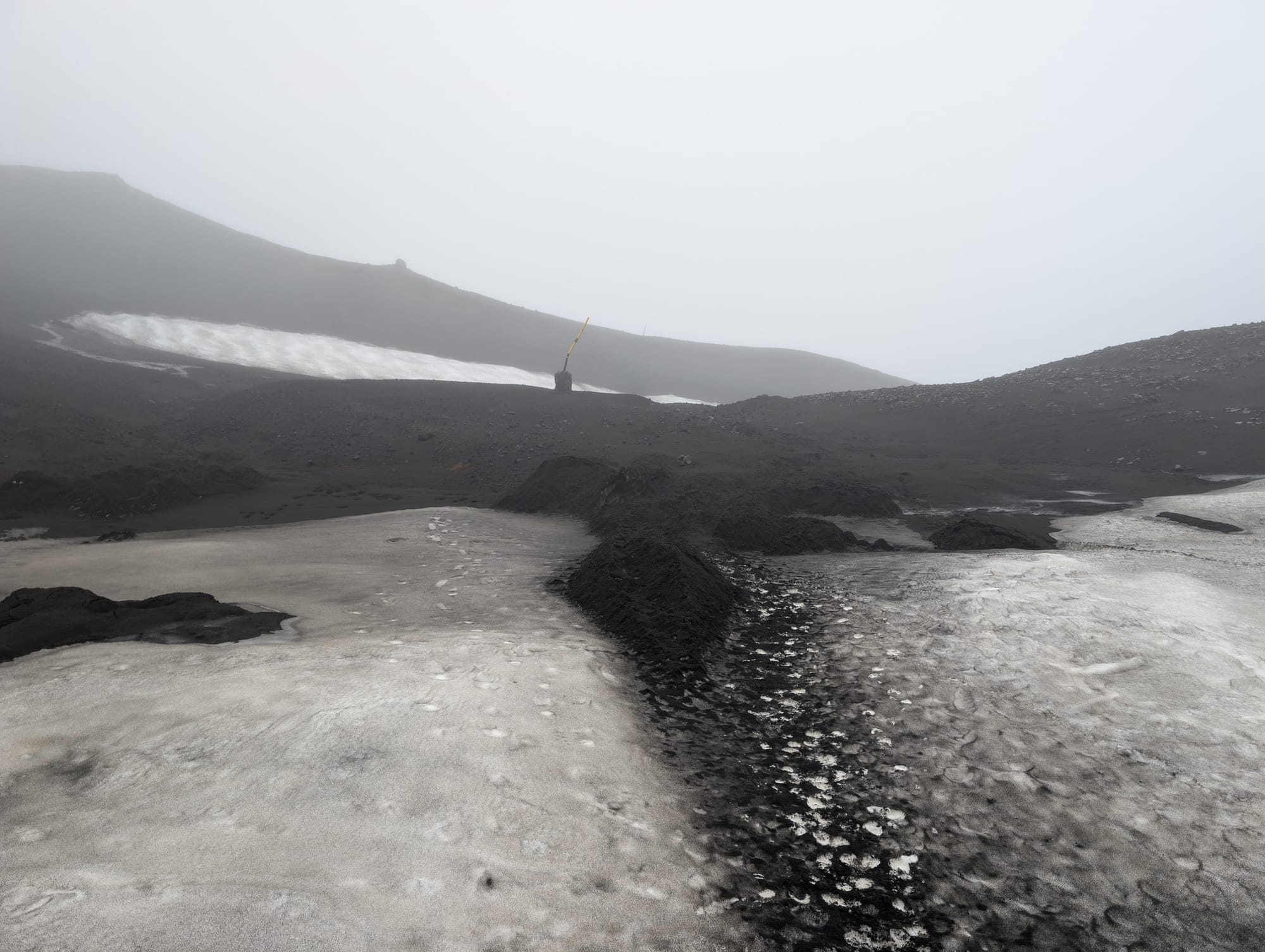
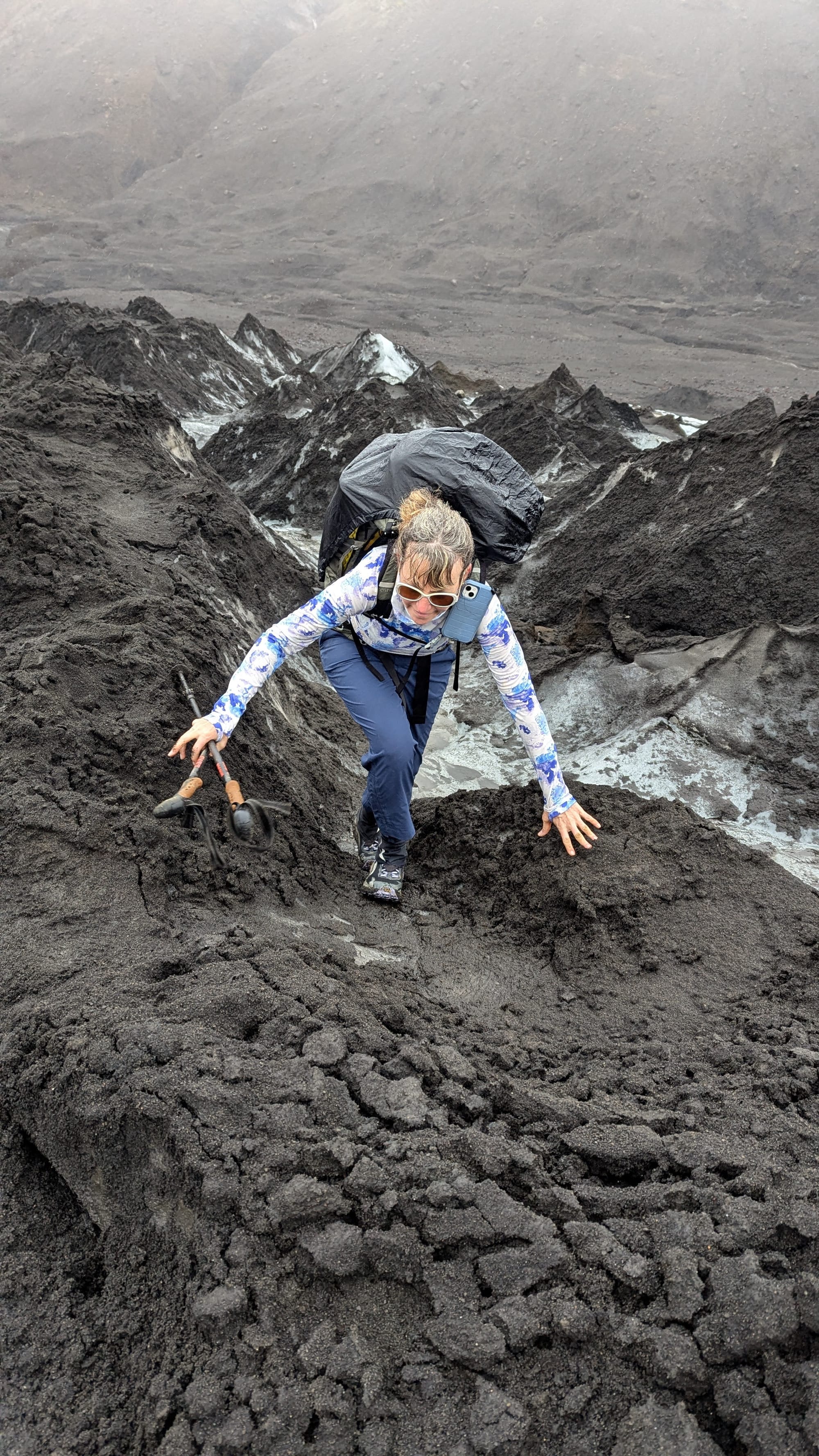
Snowpack and the up-down grind
After the lava, we hit the snowpack/ice sections. The walking became a loop of short careful moves.
- up an icy shoulder
- down into a shallow cut
- back up again
- over and over
Some of the terrain here looks like soft sediment carved into little channels and bowls, which makes the route feel choppy even when you can see the line.
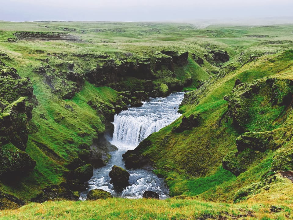
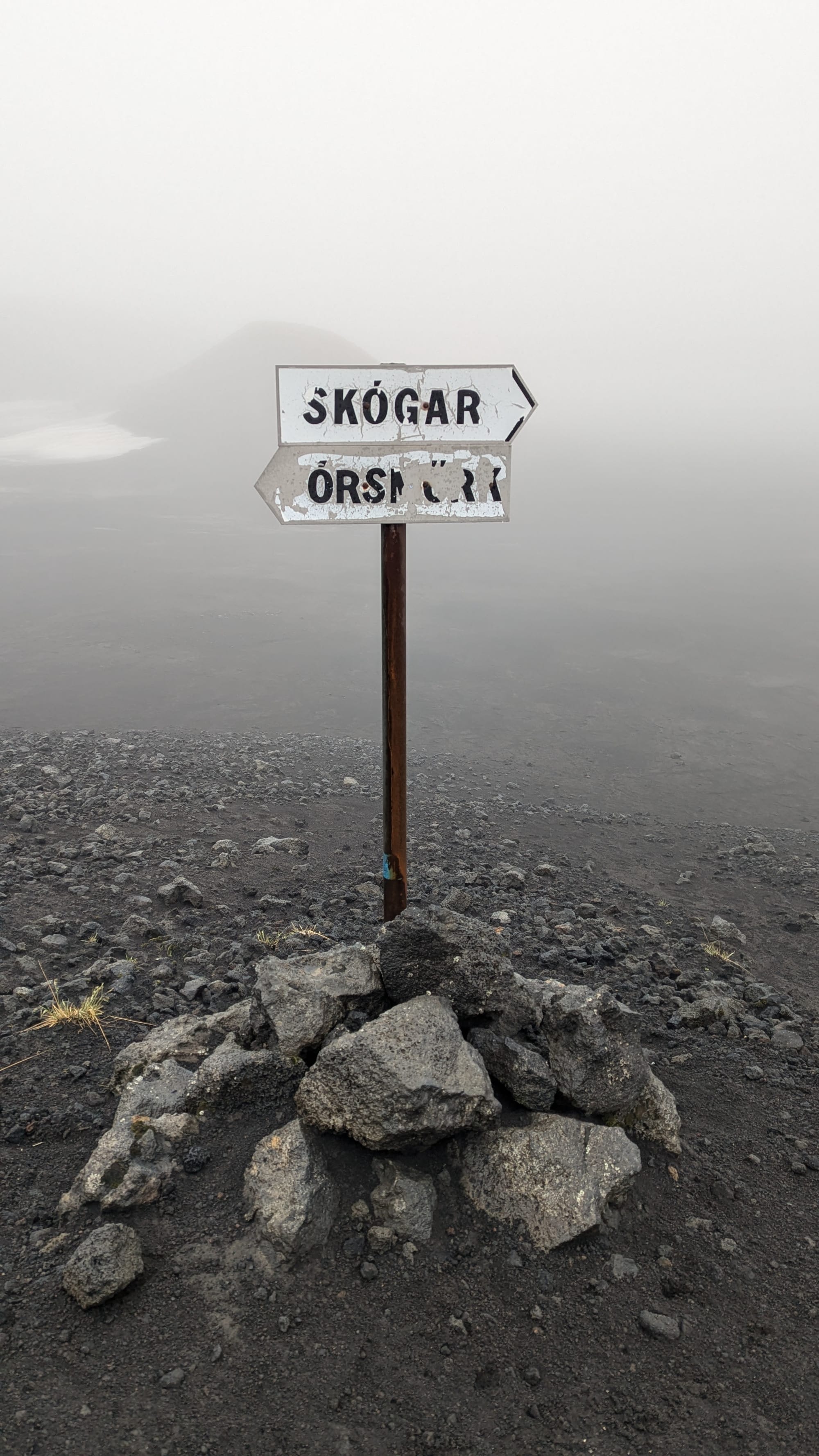
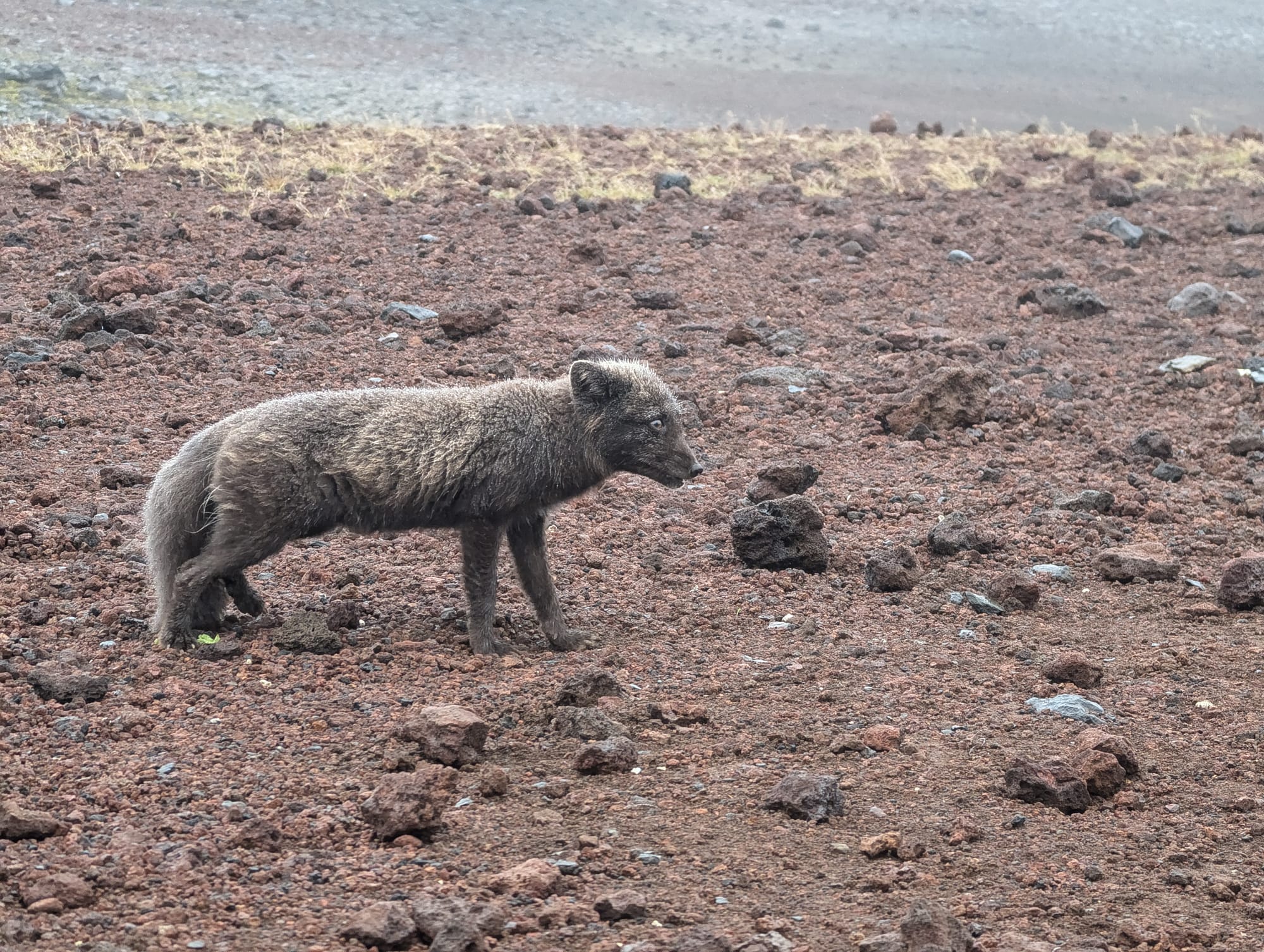
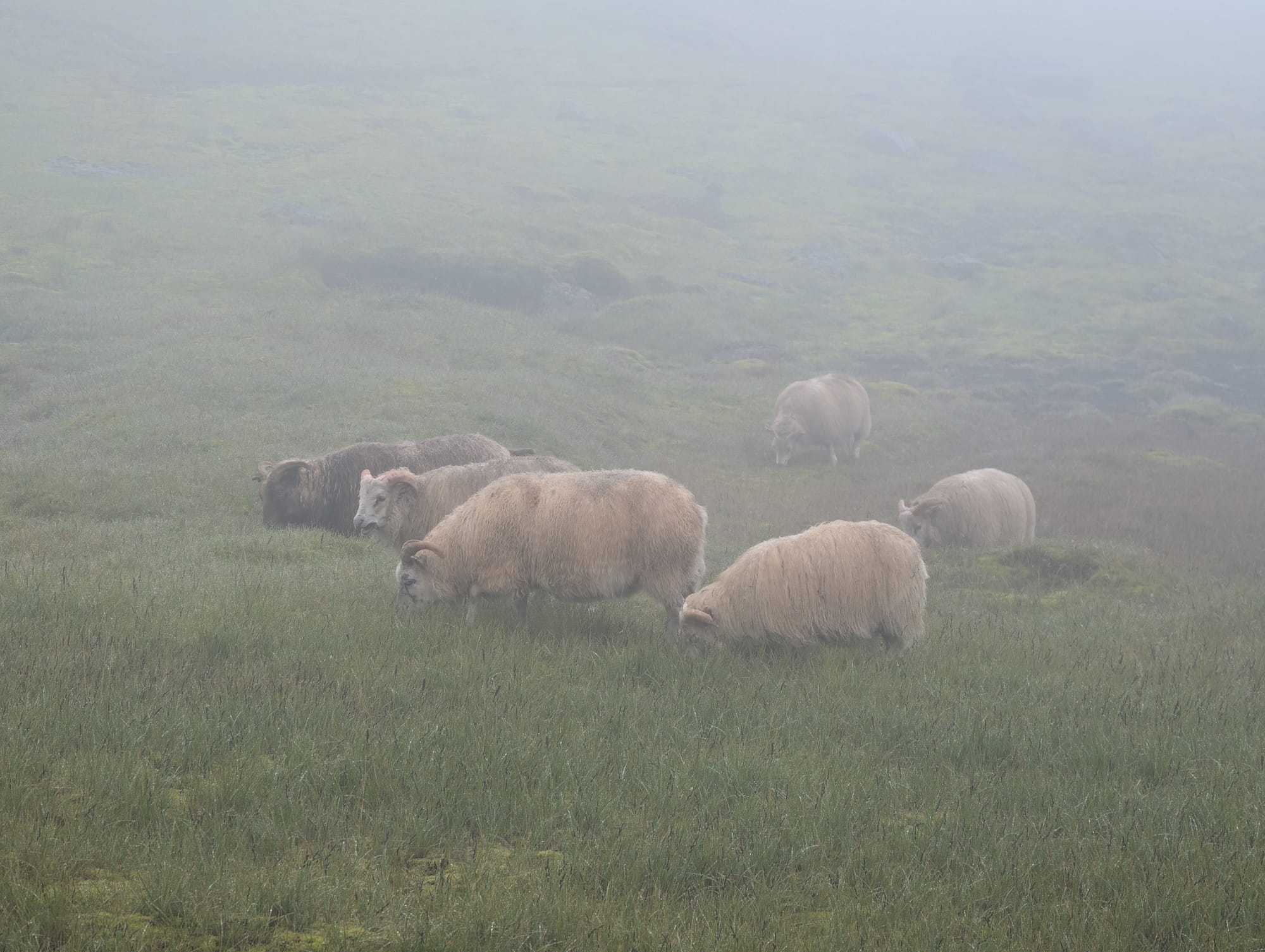
The descent: rain, animals, waterfalls, and Skógafoss
Once we started dropping toward Skógar, the weather shifted back to rain and stayed there. No drone today. Not even a thought. We just got progressively wetter and colder as elevation dropped.
This is also where the trail suddenly stopped feeling empty. We saw the arctic fox, plus sheep and birds on the way down. After days of almost no animal life, it felt like the lowlands were switching the lights back on.
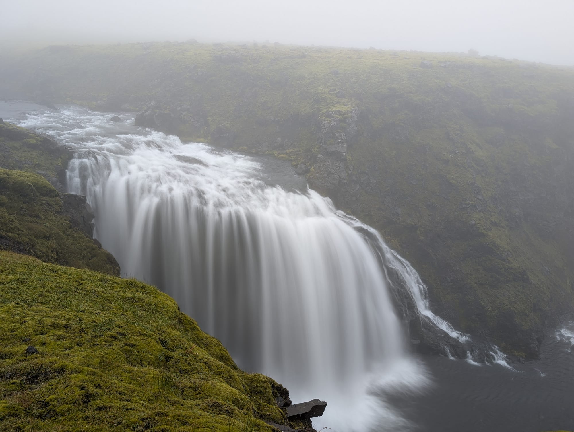
And the descent stacks waterfalls like it’s trying to show off. You can feel how much water this landscape is holding and shedding, and how fast it reshapes the gullies and streambeds. That “new land” feeling is part of why the 2010 eruption still matters here. Fresh volcanic material plus ice and heavy runoff is a combination that keeps the ground looking unfinished.
Then Skógafoss appears at the end like the obvious finish line.
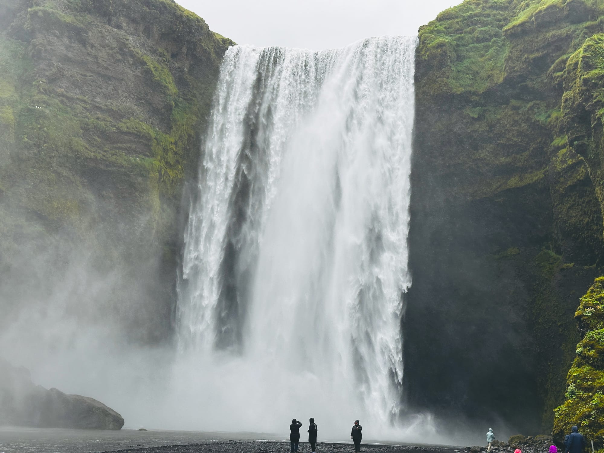
We walked into Skógar soaked and muddy and went straight into the restaurant near the trail end to warm up and eat. It was a nice spot, and we looked like we’d crawled out of the woods, which we basically had. Most people were there on a quick bus stop. We were done with a multi-day traverse.
That was the end of our hiking section in Iceland. From Skógar we’d bus back to Reykjavík, pick up the camper van, and switch modes completely. The next nine days would be our loop around the Ring Road.