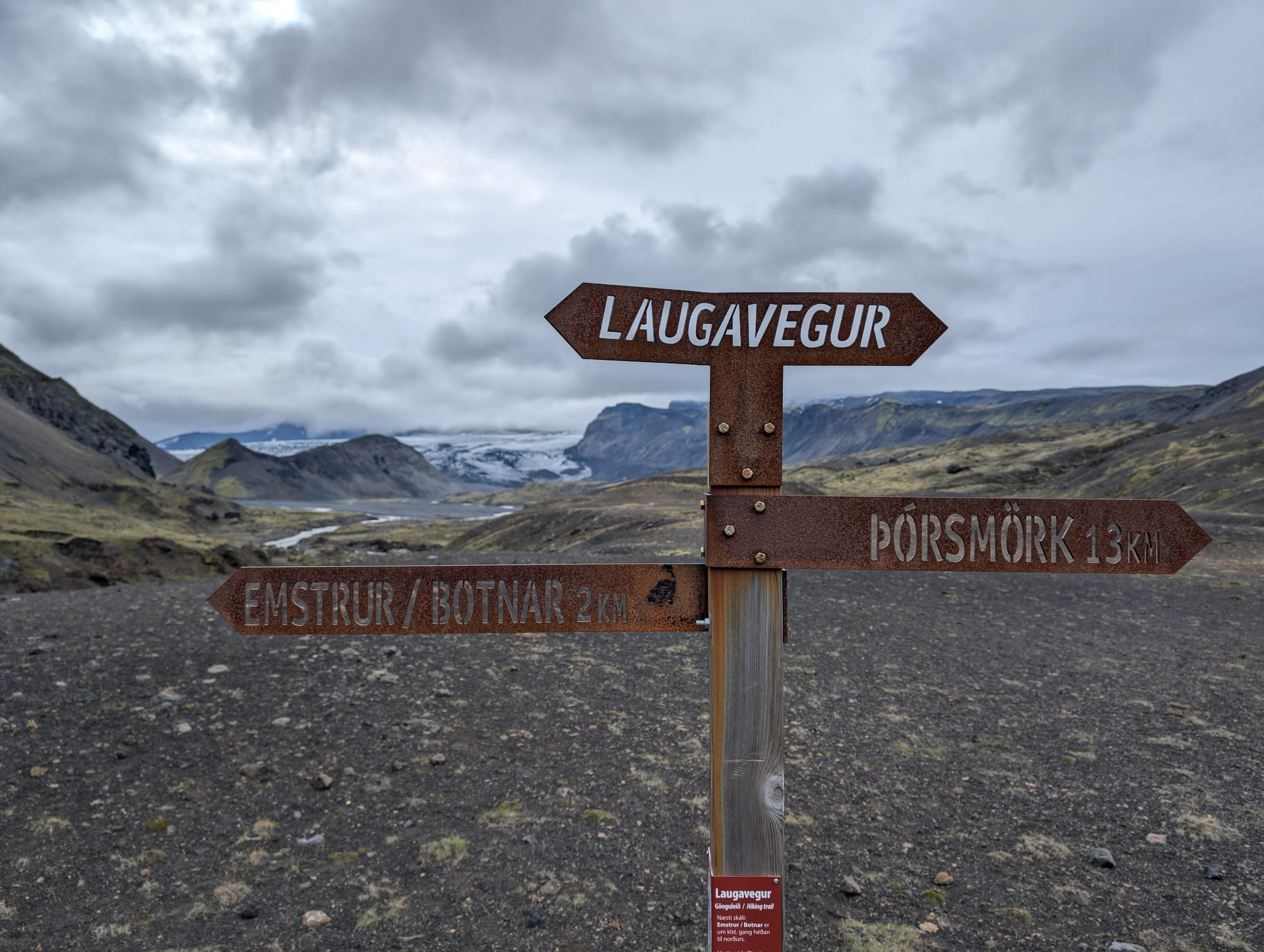
Laugavegur Day 3
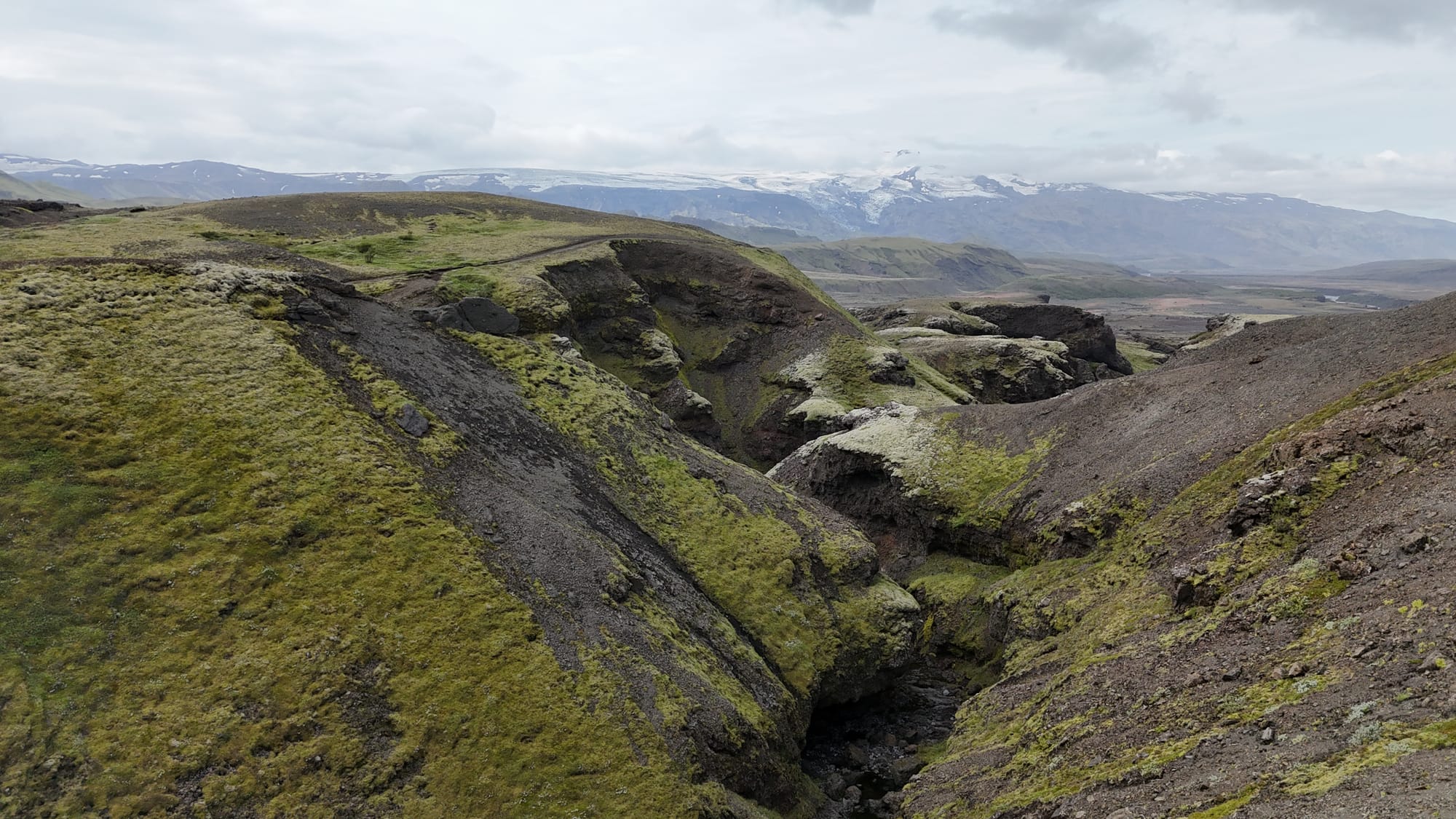
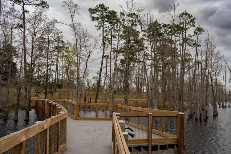
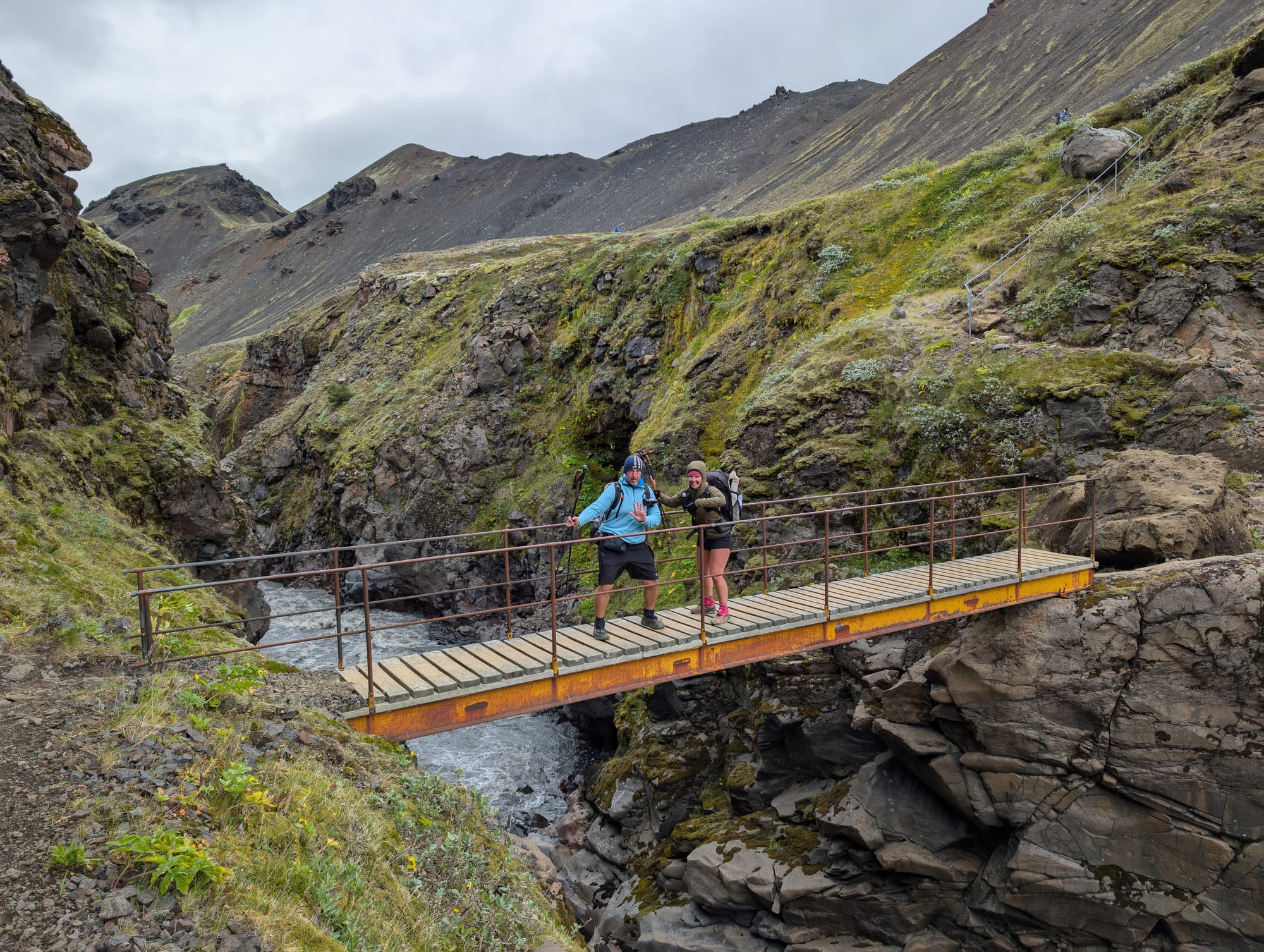
We left Emstrur-Botnar and the trail immediately felt different. More defined tread, more obvious elevation change, and more moments where you’re walking with a canyon at your side instead of across open flats. The footing shifted too. Less “pick your line across black grit” and more actual trail, with a few slick sections that kept us paying attention.
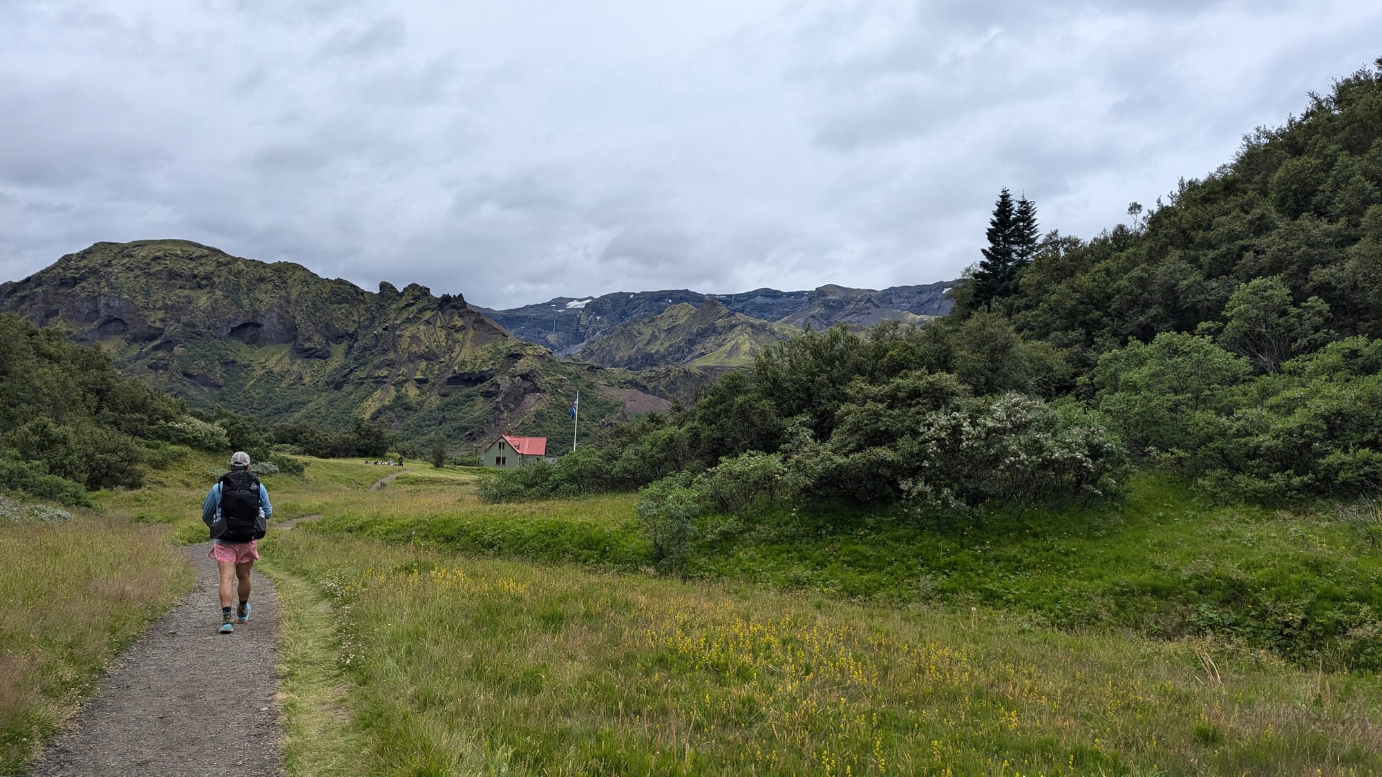
The Highlands felt sparse and quiet up to this point. Very little wildlife, just occasional birds. Dropping toward Þórsmörk was the first time the trail started to feel less exposed and more alive, even before we hit the greener valley.
Trail changes we noticed
- More structure underfoot: the path felt more established and easier to follow.
- Elevation and viewpoints: you get higher edges where the landscape opens up, then you drop back down and the world tightens.
- Footing variety: stretches of stable trail, then sudden slick spots where we were slip-sliding on icy patches (the kind that makes trekking poles feel like the best decision you made all week).
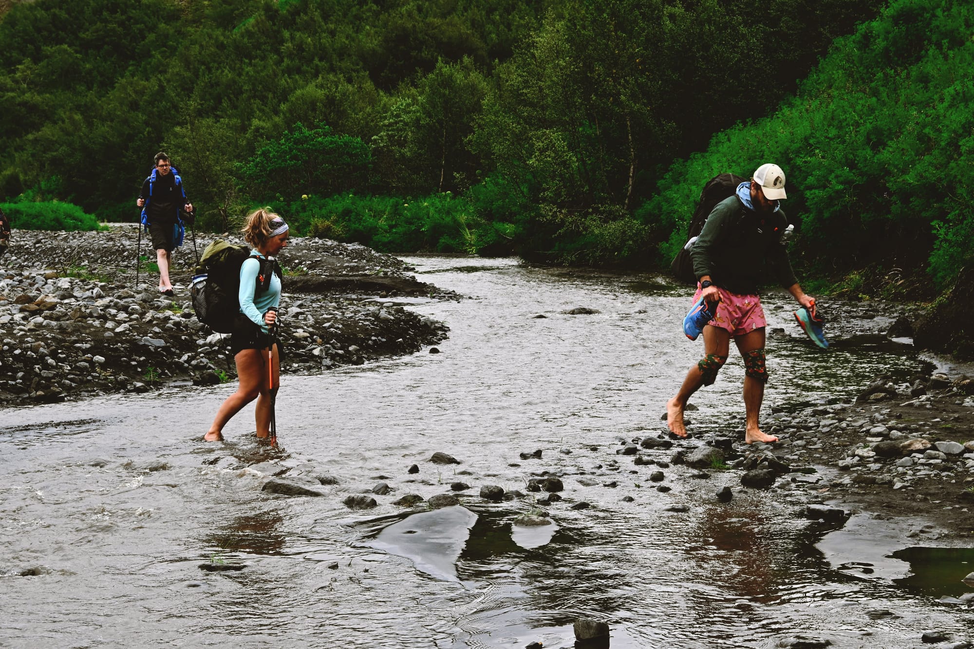
We had another water crossing today. Nothing dramatic, but enough to slow everyone down, look for the best spot, and keep the group tight.
Geography notes (getting nerdy, but in plain English)
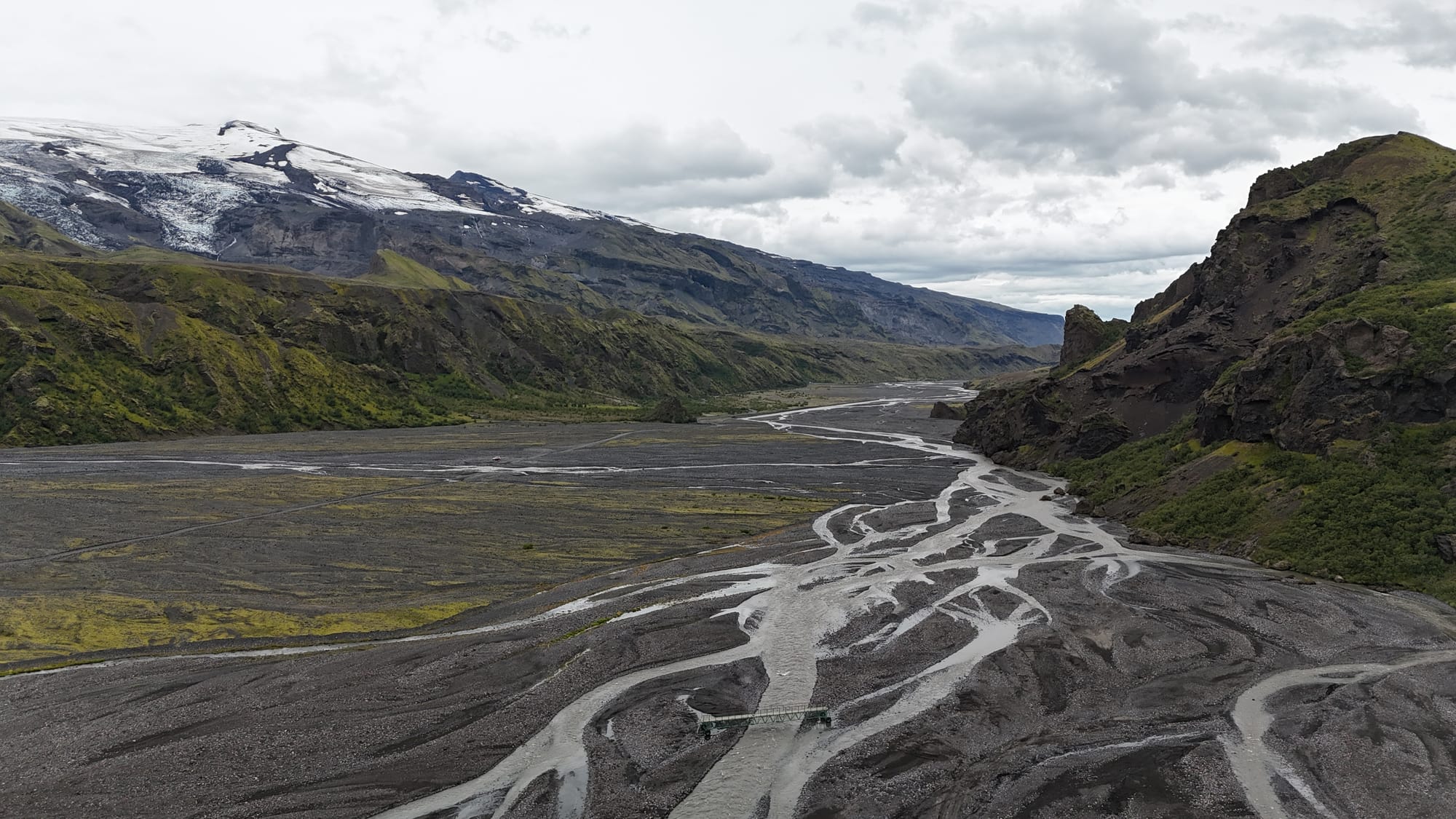
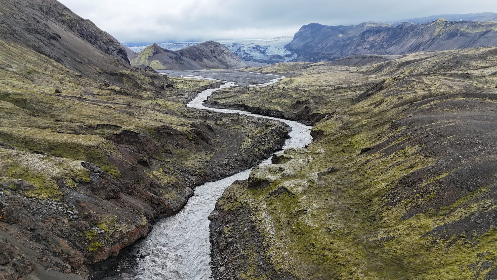
This day is where you start seeing how Iceland “routes” water.
- River-cut canyons: you’re looking at channels carved by meltwater that can be tame one day and aggressive the next. The edges feel raw because the material is raw. Volcanic sediment and glacial grind don’t behave like solid bedrock. They get cut, moved, and rebuilt constantly.
- Braided river systems: instead of one clean river, you see wide beds where water splits into multiple strands and recombines. That’s what happens when there’s a lot of sediment and the river can’t commit to one channel for long.
- Glaciers nearby: you’re not on a glacier route here, but the glaciers are in the neighborhood and they’re the upstream engine. They feed the rivers, they dictate the seasonal flow, and over time they shape the valley walls and the whole drainage pattern.
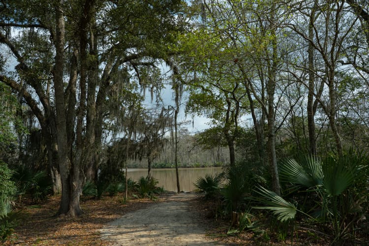
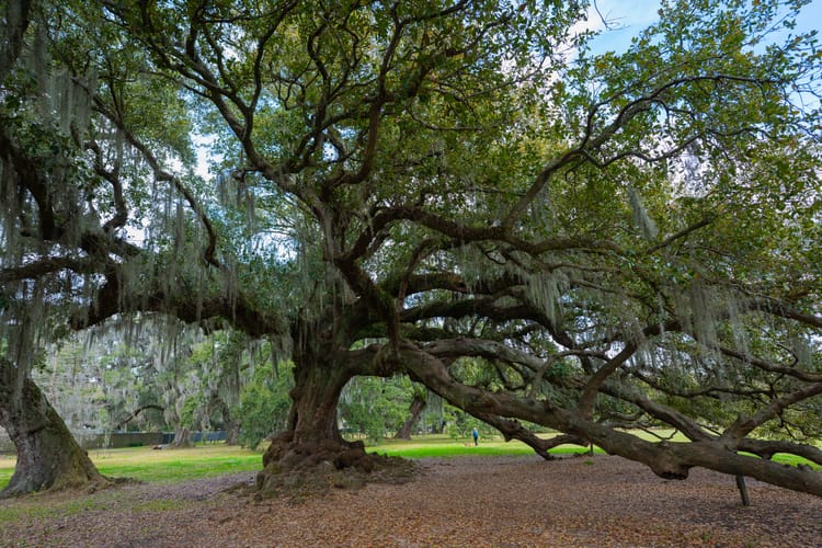
And then you hit Þórsmörk, and it’s like someone switched biomes.
Why Þórsmörk is greener
Þórsmörk feels greener because it’s sheltered. You’re down in a protected valley where wind isn’t stripping everything bare, the temperatures feel a little less harsh, and volcanic soils can actually hold enough nutrients for plant life to take off. After days of exposed highland terrain, the vegetation reads as a relief.
We had noticeable temperature changes throughout the day. Warm in sun. Cold when wind picked up. Cooler when we dropped into shaded cuts. It was one of those days where your layers are constantly being tested.
Visibility was unreal again, which turned into a lot of drone shots. With clear air, you can actually see the logic of the landscape: where the rivers go, where the valley deepens, where the trail is heading.
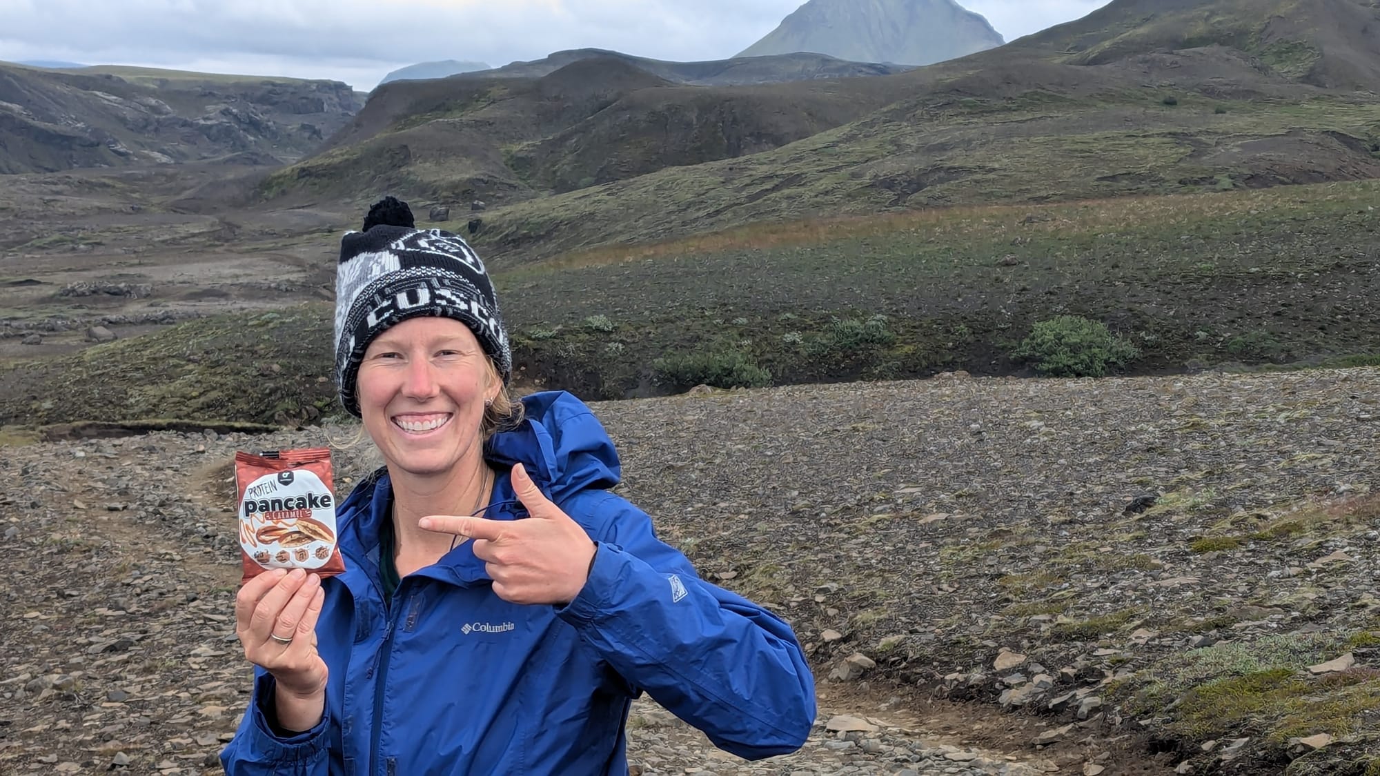
We rolled into Húsadalur and got camp set just as the rain started. Perfect timing. That night we talked with other hikers and convinced a group to do Fimmvörðuháls with us. There was some doubt about whether the weather would hold, but we’d already made the call. Rain or shine, we were getting up early and making a go of it.
TL;DR Day notes
- Camp: Húsadalur (Þórsmörk)
- Wildlife: Arctic fox
- Water: one crossing, manageable
- Conditions: strong visibility, noticeable temp swings, rain arrived right at camp
- Terrain: more defined trail, canyon viewpoints, mixed footing, slick icy patches
- Crew: AT group + new hikers joining for the Fimm decision