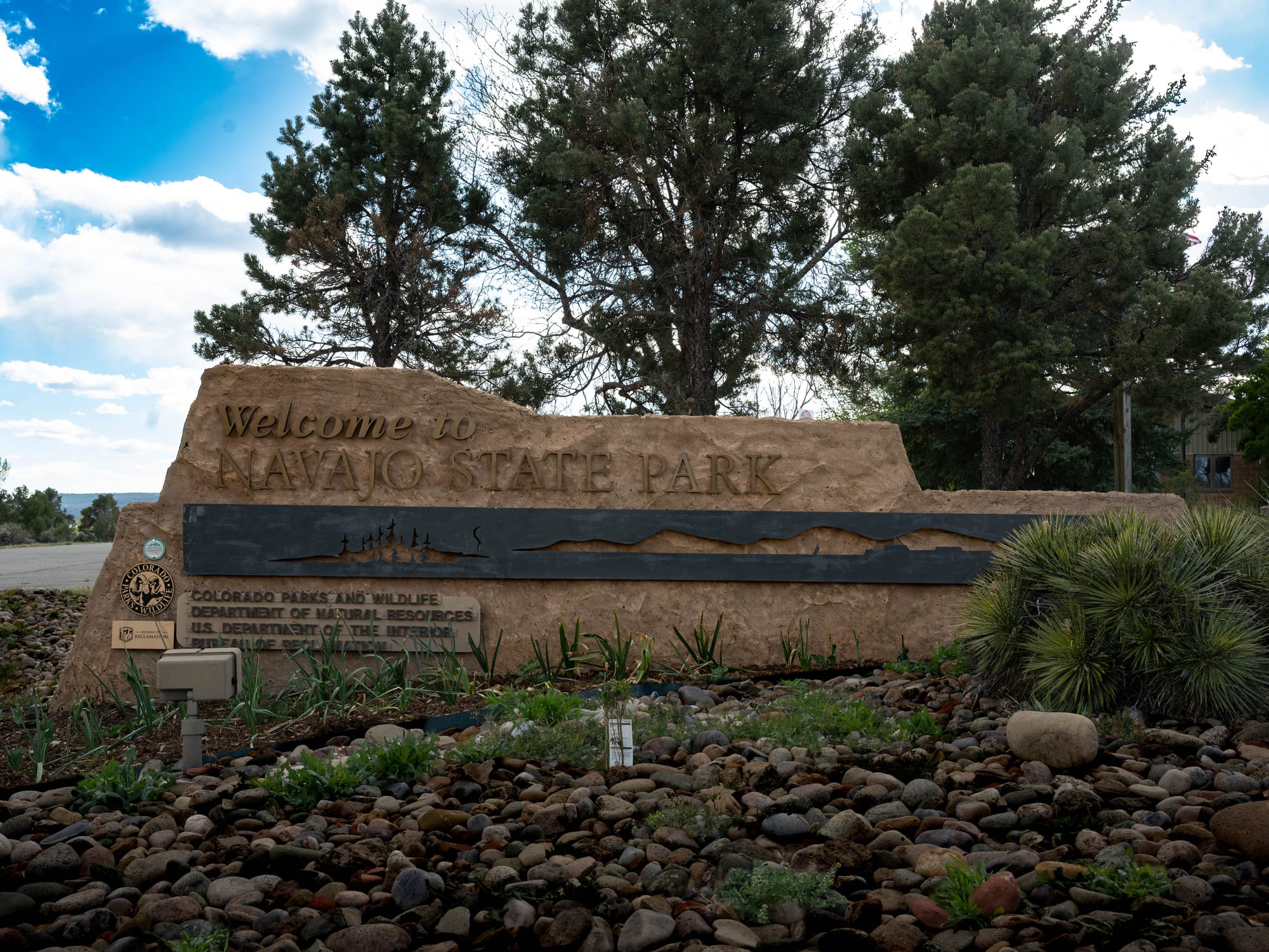
Navajo State Park
We left El Vado and continued northwest, with one more reminder that mountain weather changes fast. The drive took us over a high pass where the temperature dropped nearly thirty degrees and snow flurries started falling. Nothing turned serious, but it was another reminder how quickly the weather changes in this part of the country.
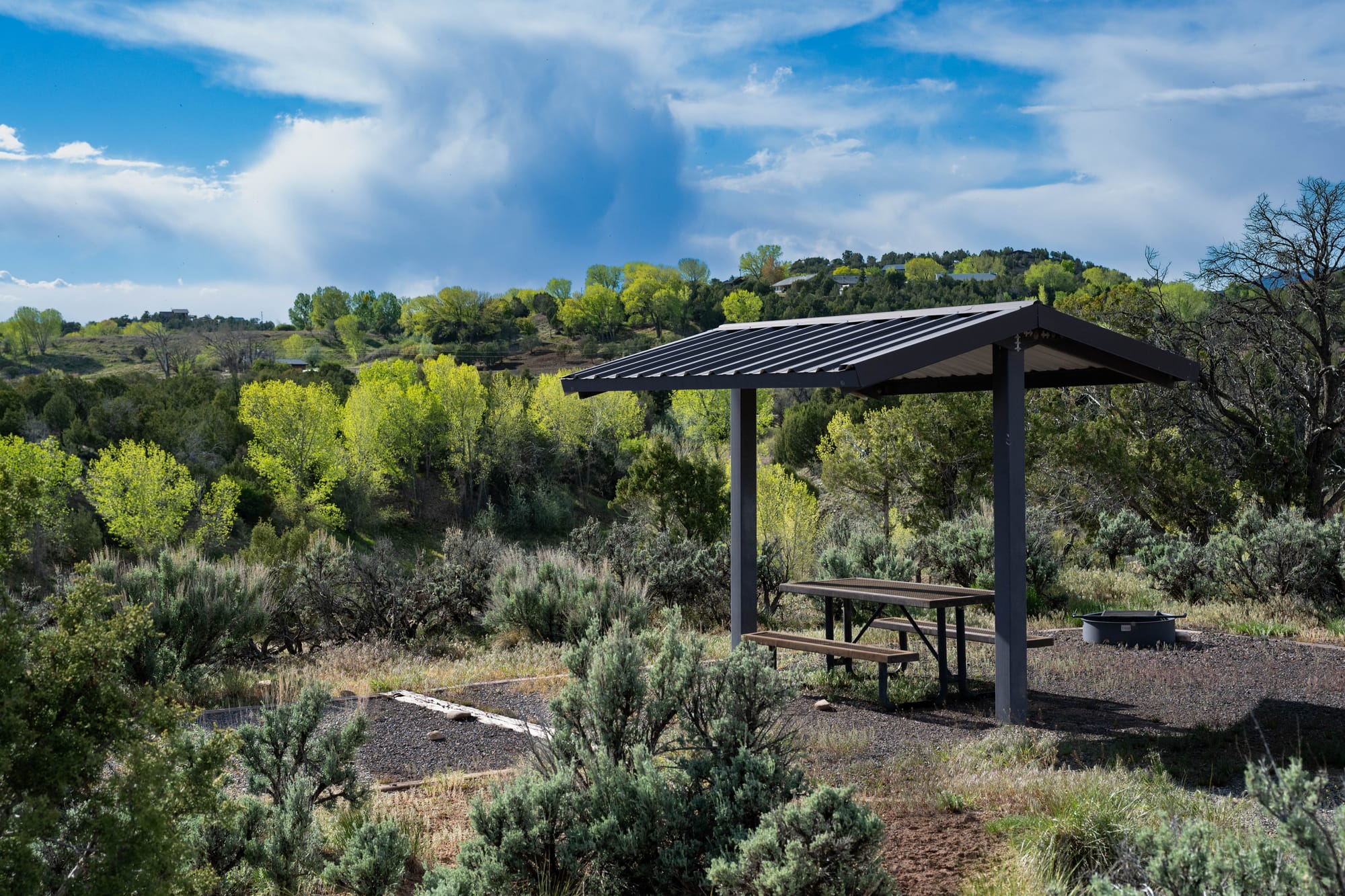
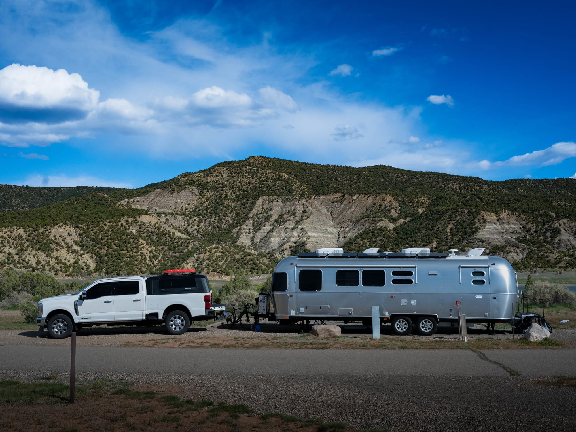
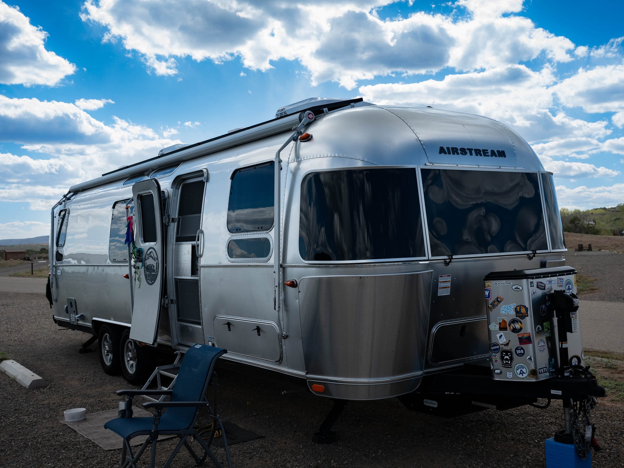
The drive into Navajo State Park was easy and scenic. Rosa Loop was quiet, maybe half full, while the other camping loops looked nearly empty. Our pull-through site sat along the reservoir with wide-open views straight from camp. After the cold stretch at El Vado, we expected more of the same here, especially since we were still moving north. Instead, the lower elevation made the stay noticeably more comfortable.
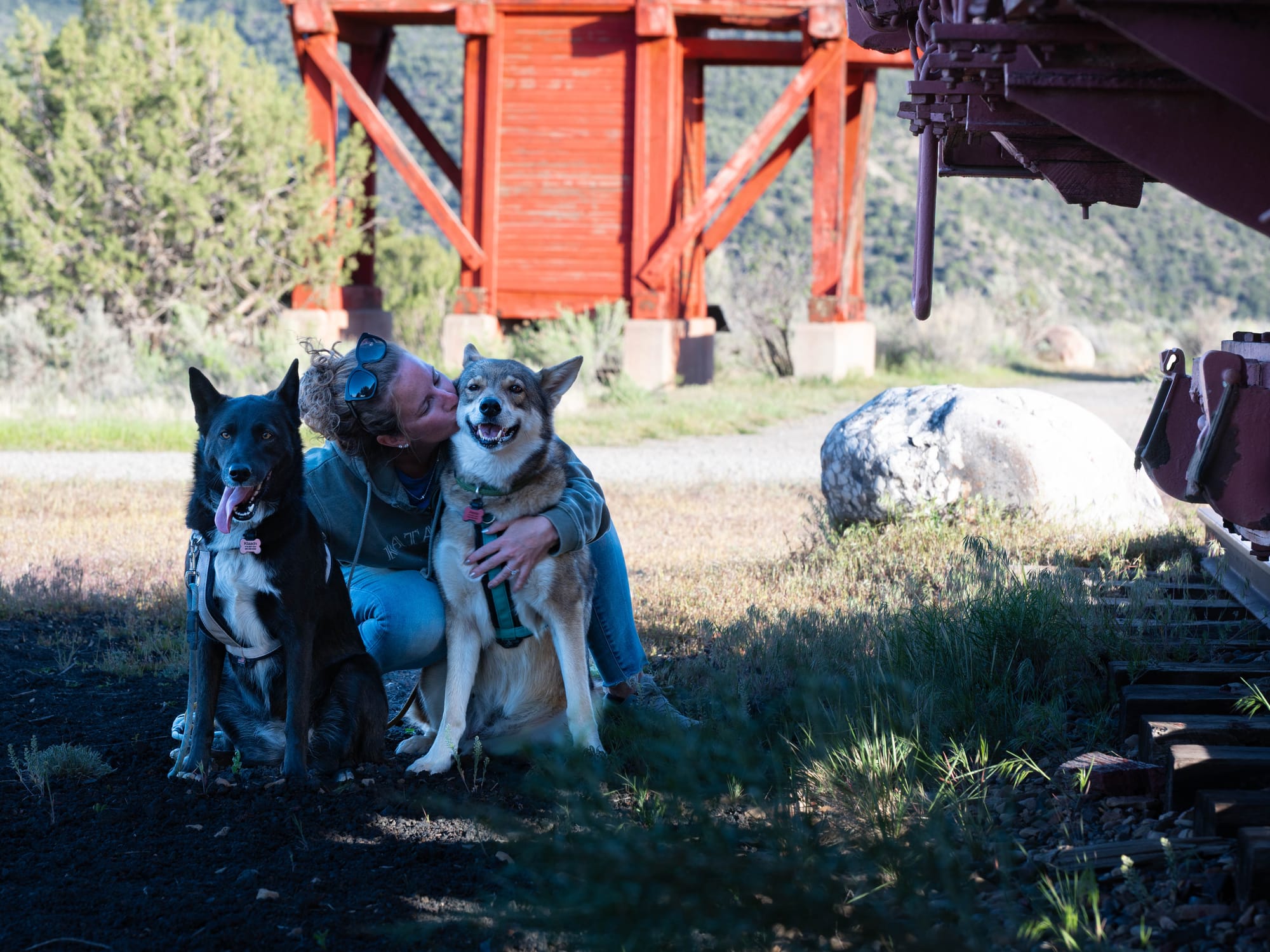
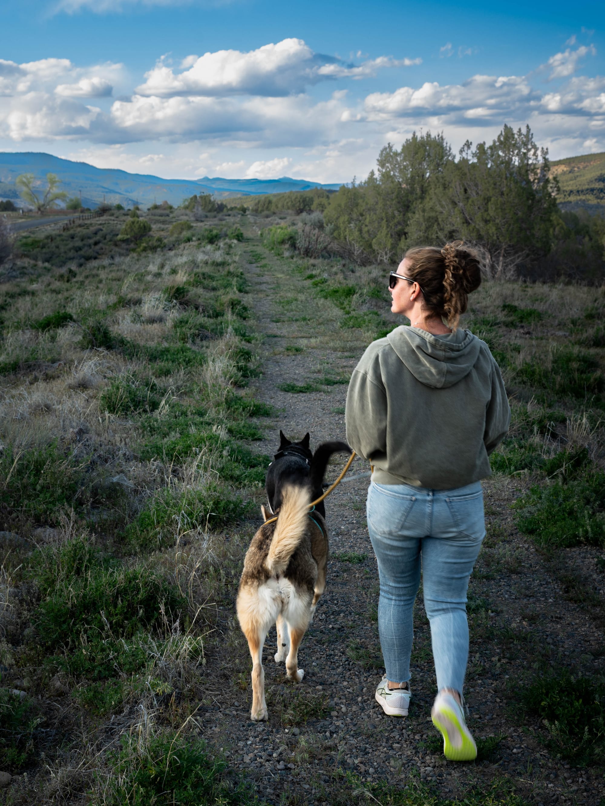
Campground life stayed simple. Long walks with the dogs in the morning, work through the afternoon, and more walks in the evening. The park never asked much of us, which was part of the appeal. Wide reservoir views, quiet sites, and enough space to settle into a slower pace.
🧭 The Lay of the Land
- Location: Arboles, Colorado · 37.0083, -107.4272 · [Google Maps]
- Official site: [Navajo State Park]
- Landscape: High-desert reservoir · Piñon-juniper mesa
- Vibe: Quiet
- Our stay & conditions: Apr–May 2026 · 6 nights · warm early days, cold nights, and a cooler turn near the end
🏕️ Camp Setup
- Site types: RV pull-through · RV back-in · Tent · Cabins
- Arrival & setup: Easy
- Hookups: 💧 / ⚡ / 🚽 | 🧻
- Connectivity: 📶 AT&T ⚠️ | 📶 Verizon ⚠️ | 📶 T-Mobile ⚠️ | 📡 Starlink 🟢 | 📶 Park Wi-Fi ⟂
- Facilities: Restrooms · Showers · Trail access
Legend:
🚽 = sewer at site · 🧻 = dump station
🟢 = solid for work · ⚠️ = usable with limits · ❌ = unusable
Park Highlights
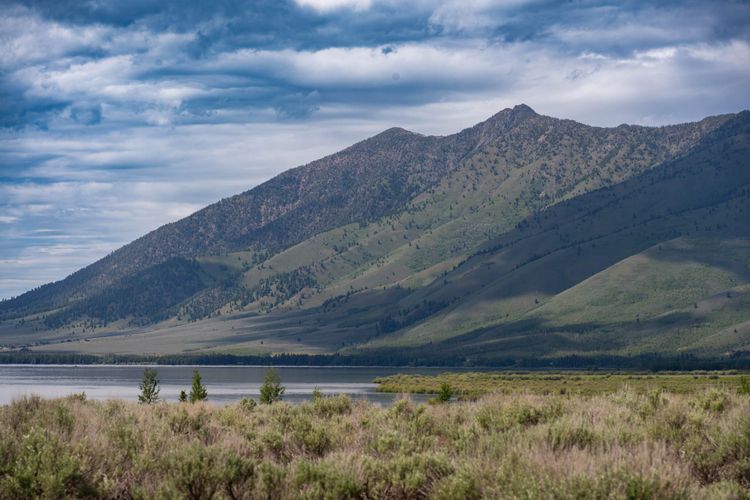
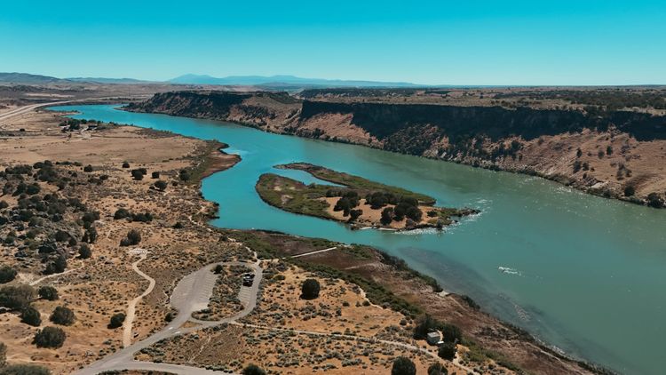
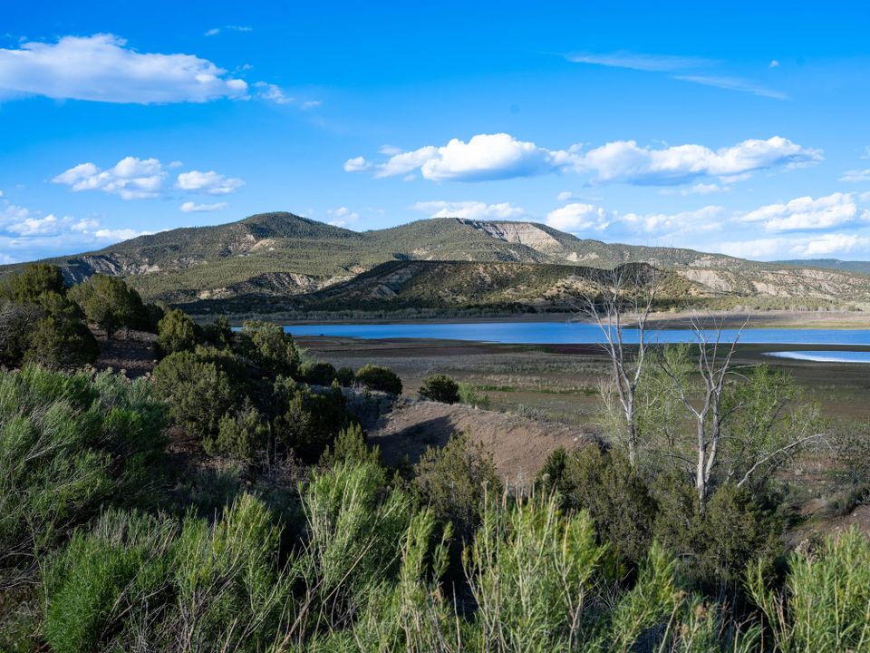
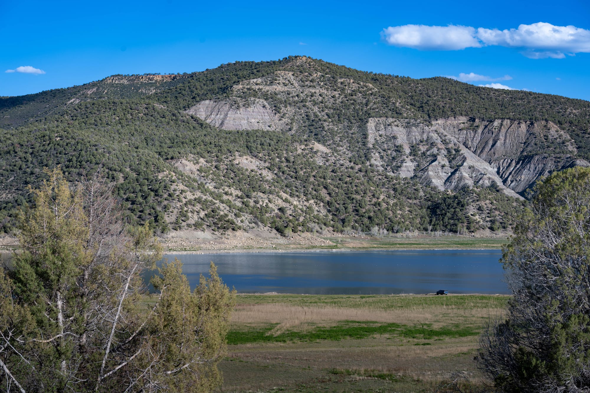
The reservoir is the whole reason this park exists. Navajo Reservoir was created by Navajo Dam on the San Juan River, part of the Colorado River Storage Project, which was authorized for water storage, flood control, and irrigation. The park facilities opened after the dam project, turning the Colorado side of the reservoir into a major recreation area for boating, fishing, camping, and trail use.
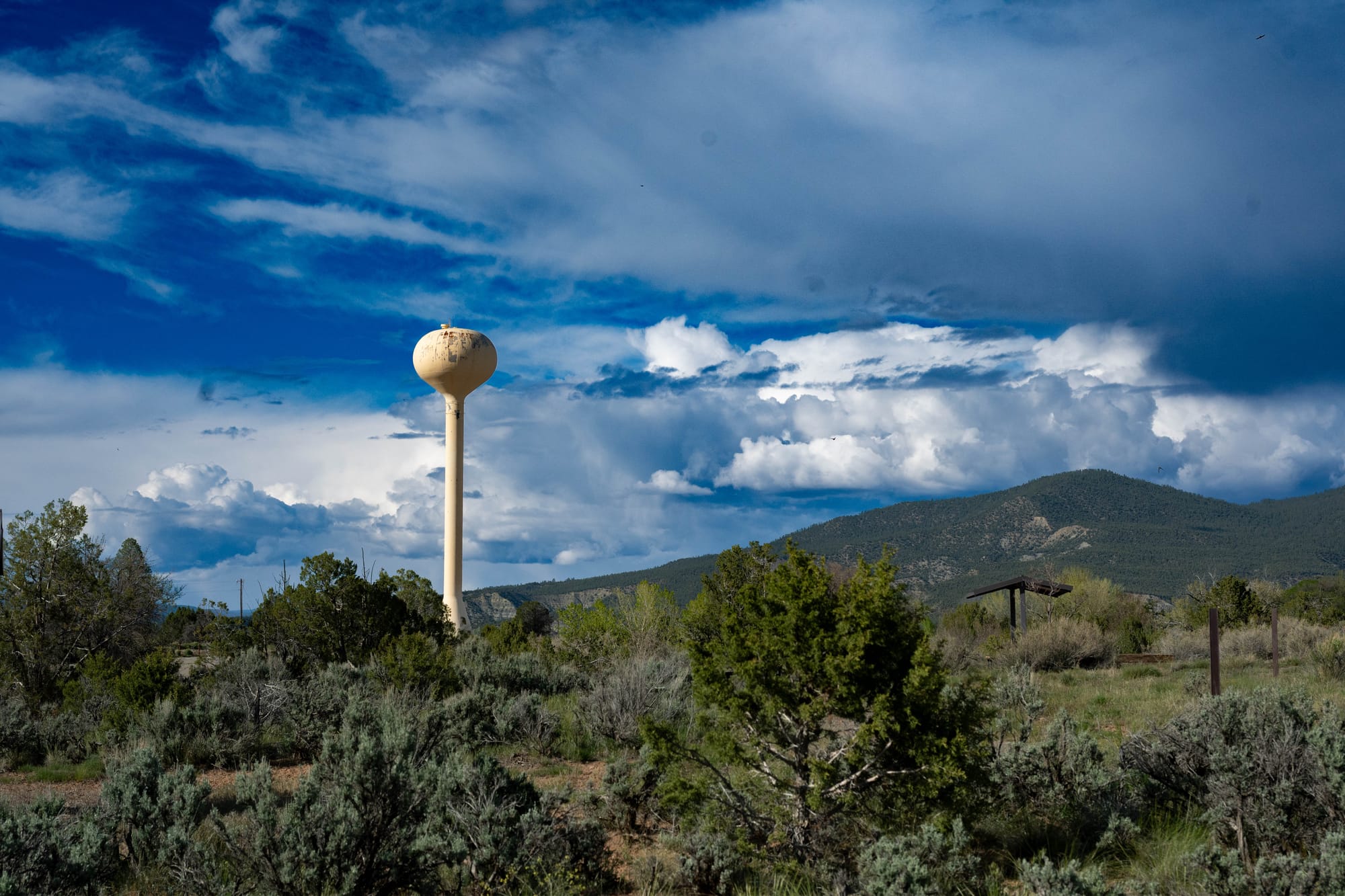
The landscape was a clear shift from the New Mexico parks we had been moving through. Navajo sits in high-desert country, with pinyon-juniper woodland, sagebrush, dry hills, and reservoir-edge habitat. That mix gives the park its character: open sky, scrubby trees, long views, and water that feels oversized against the quiet campground.
The clouds were the surprise highlight. Colorado skies felt bigger than what we had anticipated, and at sunrise and sunset the clouds caught color in a way that made normal walks worth stopping for. We also used the park as a base for a quick visit to Pagosa Springs and a day trip to Chimney Rock National Monument, which gets its own story.
🚴 On the Ground
- Activities available: ● 🥾 Hiking | ● 🚴 Biking | ● 🐕 Dogs | ● 🚣 Paddling | ● 🎣 Fishing | ● 🐦 Wildlife | ○ 🏊 Swimming | ● 📸 Photography | ● 🏕️ Camp-centric | ○ 🧗 Climbing
- Trail mileage available: 🥾 9.0 mi | 🚴 8.75 mi | 🚣 ⟂
- Crowd level: Quiet
Legend: ● = available · ○ = not available

⚡ TL;DR
- Park highlight: Quiet full-hookup camping above a wide-open high-desert reservoir
- Best for: Boating, fishing, stargazing, and low-key reservoir downtime
- Skip if: You want strong cell signal or a swim beach on the Colorado side
- Worth planning around?: Maybe
Final Takeaways
Navajo State Park was a strong first Colorado stop. It was quiet, easy to live in, and warmer than expected after El Vado. Our site had reservoir views, the wind stayed manageable, and the open campground fit the scale of the place. We would come back, especially as part of a longer southwest Colorado loop. With plans already forming for a late-July return to hike the Collegiate Loop and climb a few 14ers, this felt like our first real door into Colorado.