The Collegiate Loop (2026)
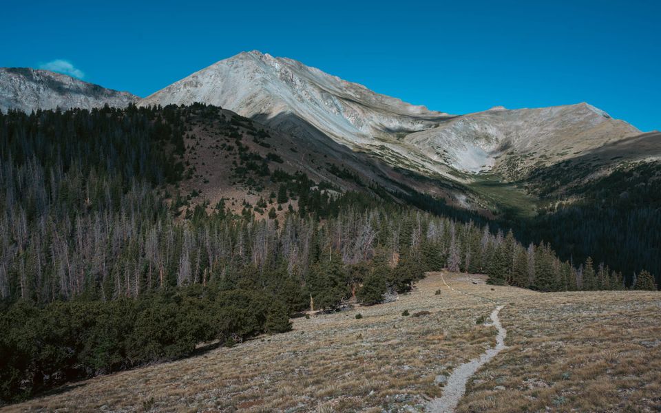
I chose the Collegiate Loop because Slow and Steady were hiking the full Colorado Trail.
We first met around mile 400 of the Appalachian Trail in 2023 and continued crossing paths through the rest of the hike. We finished within a few weeks of one another, stayed in touch, and reunited in Iceland for the Laugavegur Trail in 2024.
Their Colorado Trail thru-hike gave us another chance to meet on trail.
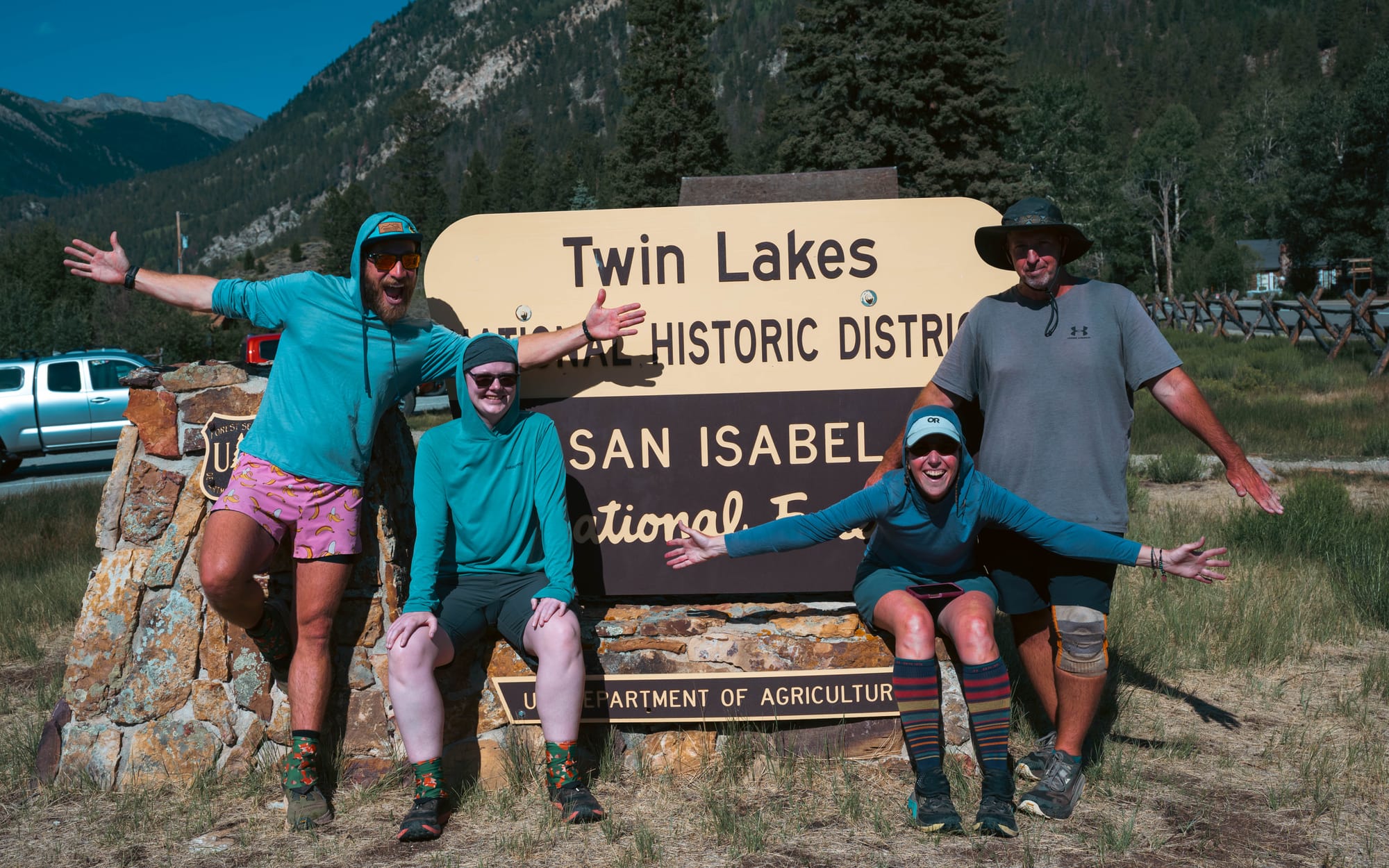
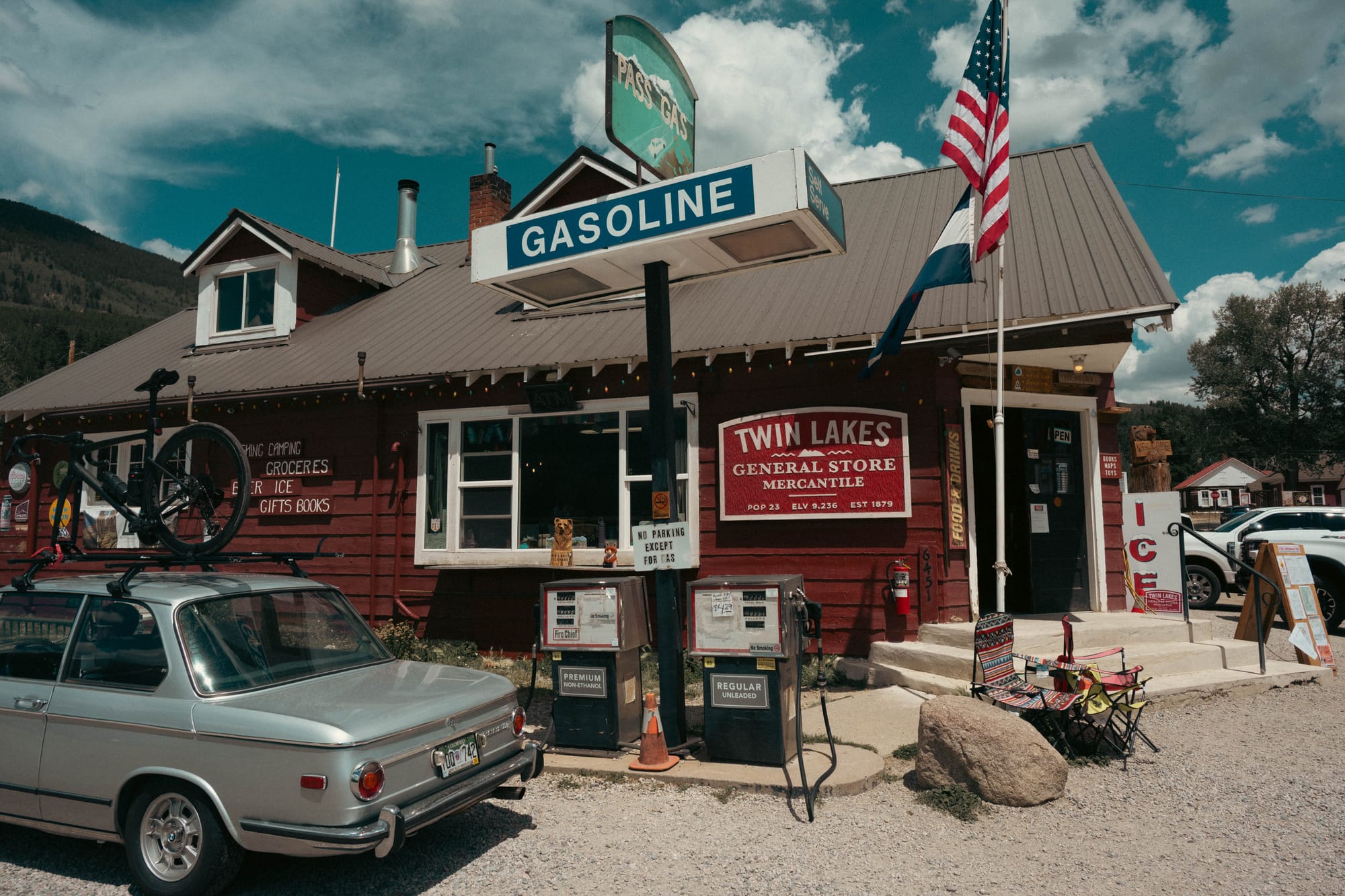
We started on July 25, 2026, at the northern junction where Collegiate East and Collegiate West divide. The plan was to divide the loop into two sections. We gave ourselves five days for the East, took one day off, and then returned for what we expected to be another five days on the West. Sam handled the transportation between the two halves and met us again when we finished in Twin Lakes.
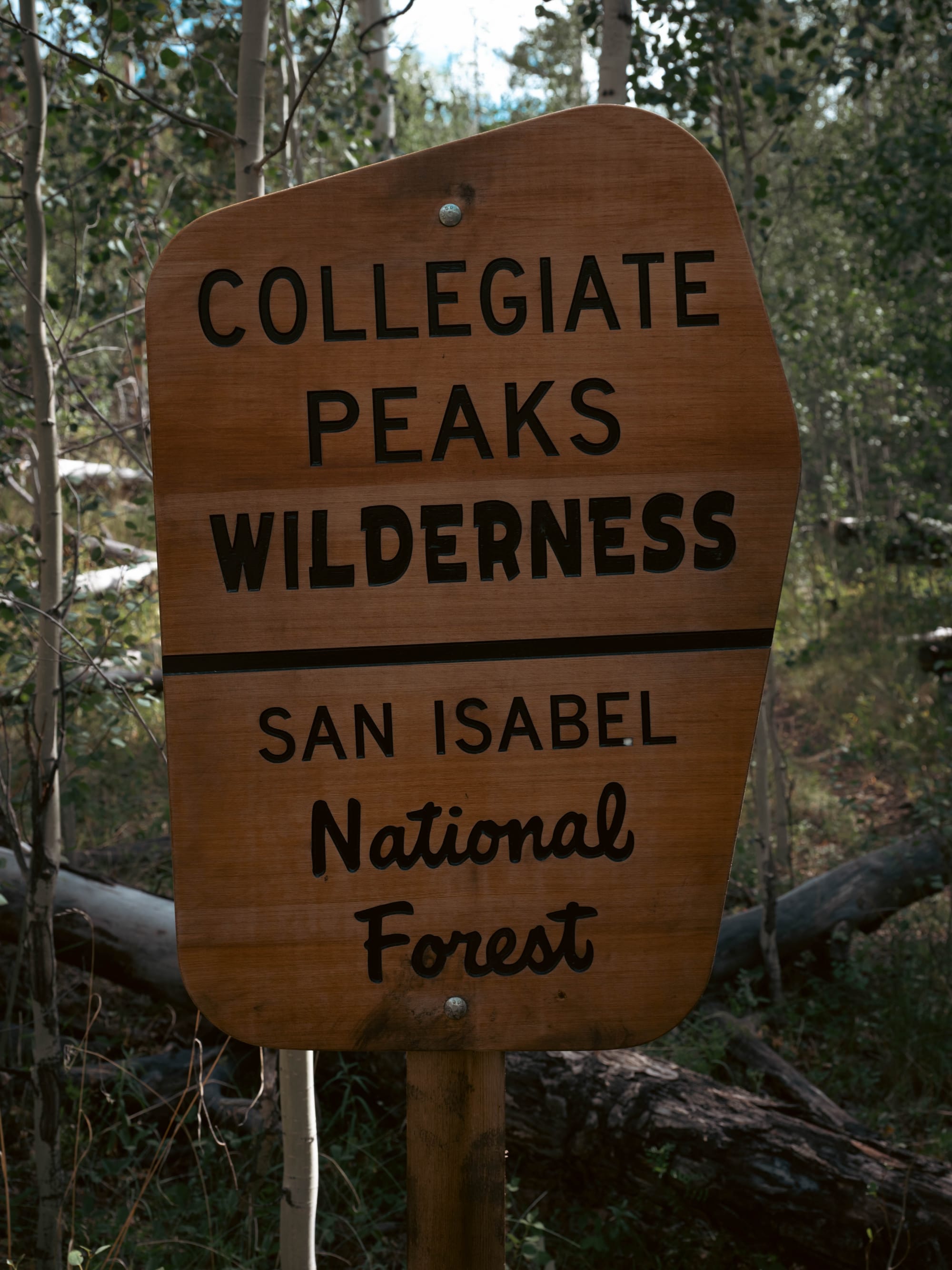
🧭 Lay of the Land
- Location: Sawatch Range, Colorado
- Route: Collegiate East + Collegiate West
- Direction: Clockwise
- Recorded distance: 154.75 miles
- Elevation gained: 33,403 feet
- Trail type: Loop
- Time on trail: 9 hiking days
- Dates: July 25–August 3, 2026
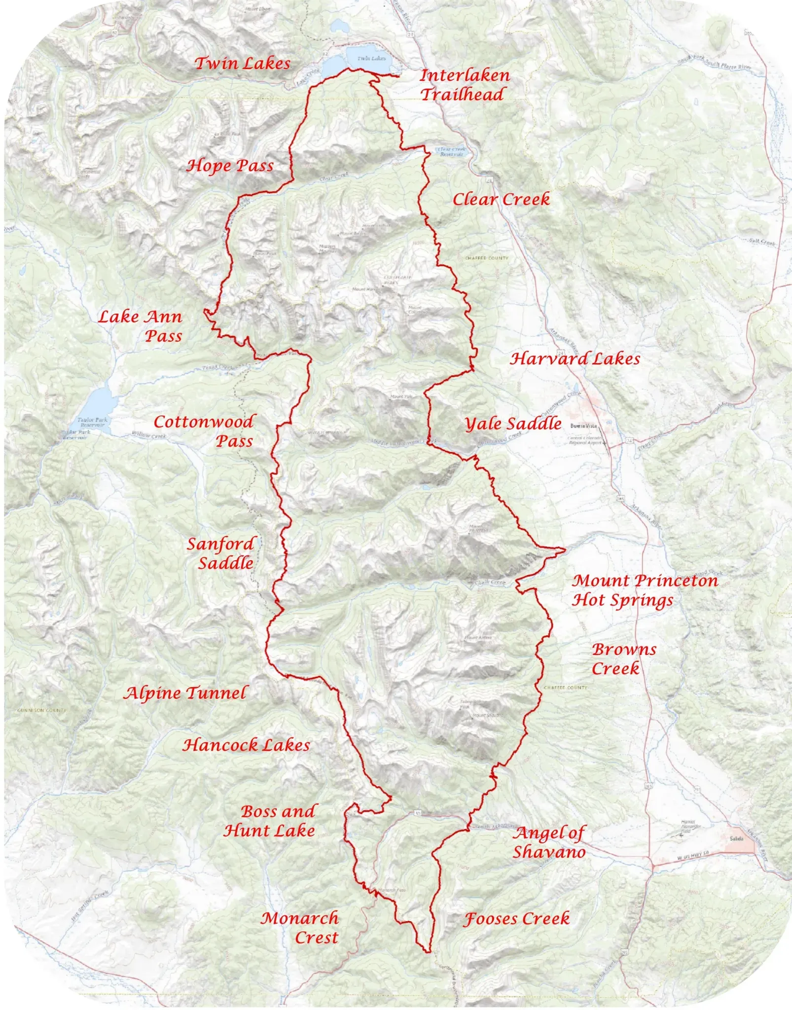
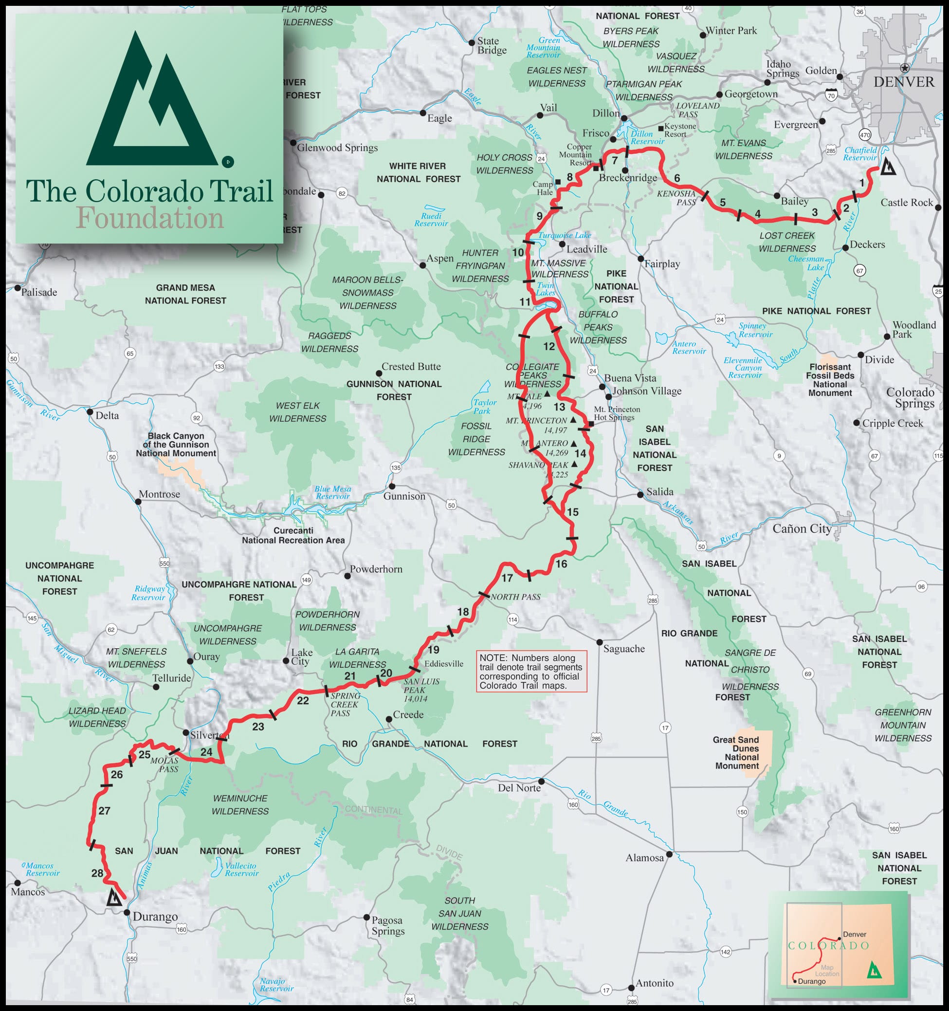
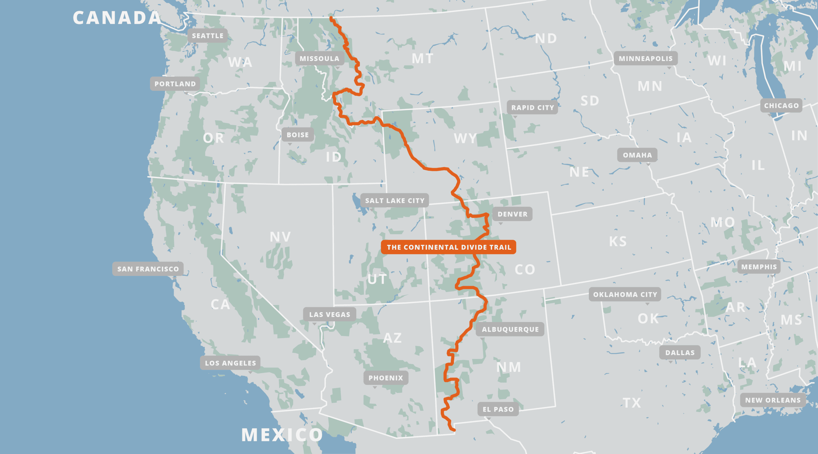
Collegiate Loop Map (~160 mi) | Colorado Trail Map (~500 mi) | Continental Divide Trail Map (~3100 mi)
Where Three Trails Meet
The Collegiate Loop sits in the Sawatch Range, home to Colorado’s highest peaks and one of the state’s largest concentrations of fourteeners.
The route passes close to more than a dozen 14,000-foot summits. Collegiate East provides direct access to Mount Yale, Mount Princeton, Mount Antero, Mount Shavano, and Tabeguache Peak. Collegiate West passes near Huron Peak and La Plata Peak. Separate summit trails, road crossings, and trailheads bring additional hikers into the area throughout the summer.
The loop is also where two major long-distance trails overlap.
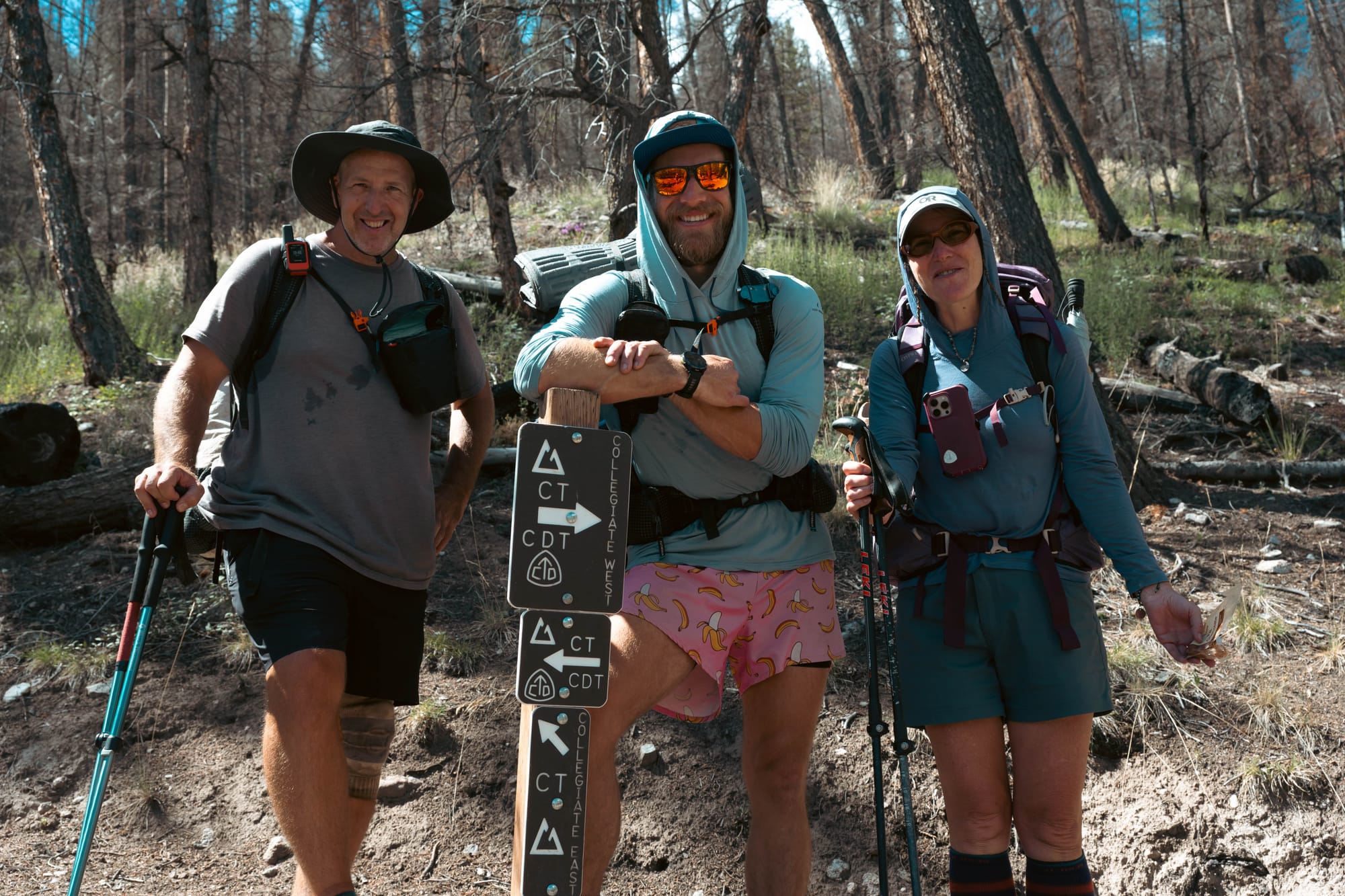
The Colorado Trail runs between Denver and Durango. The Continental Divide Trail follows the divide between Mexico and Canada. Collegiate West is part of both routes, so a hiker there may be completing the Collegiate Loop, hiking the Colorado Trail, or traveling the much longer CDT.
Collegiate East was the original Colorado Trail alignment through the range. In 2012, approximately 80 miles of the Continental Divide Trail west of the Collegiate Peaks were added as a Colorado Trail alternate. Connecting the eastern and western alignments created the modern 160-mile Collegiate Loop.
The two sides occupy different parts of the same range.
Collegiate East stays mostly on the eastern slope of the Sawatch, closer to the Arkansas River Valley, roads, trailheads, and several established recreation areas. Much of it remains below treeline.
Collegiate West follows the higher side of the range near the Continental Divide. It crosses alpine basins and passes, spends more time above treeline, and provides fewer protected camps.
That geographic split explains most of the difference between the two posts that follow.
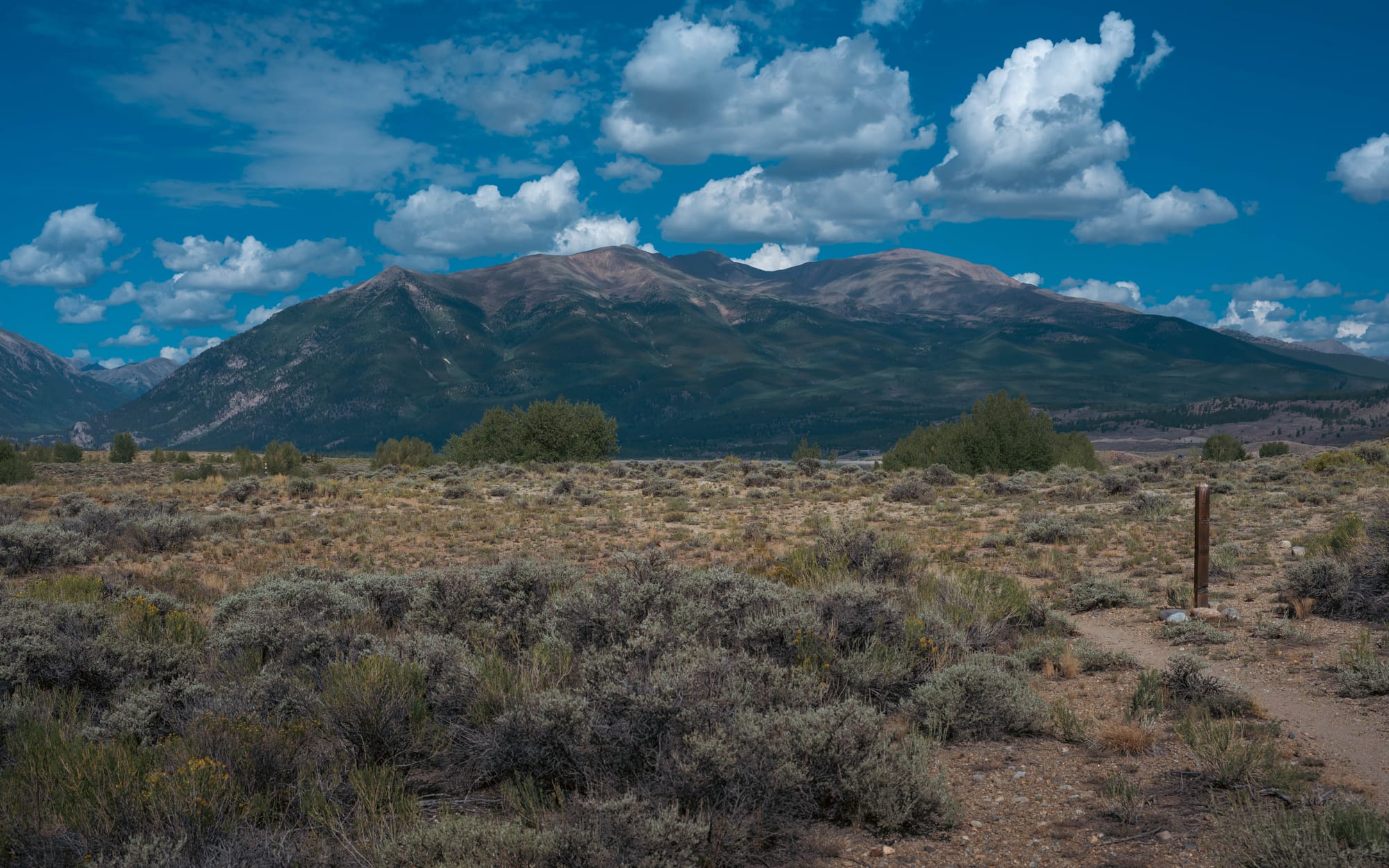
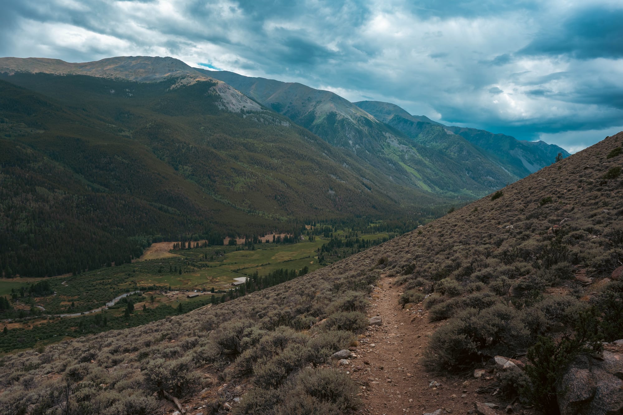
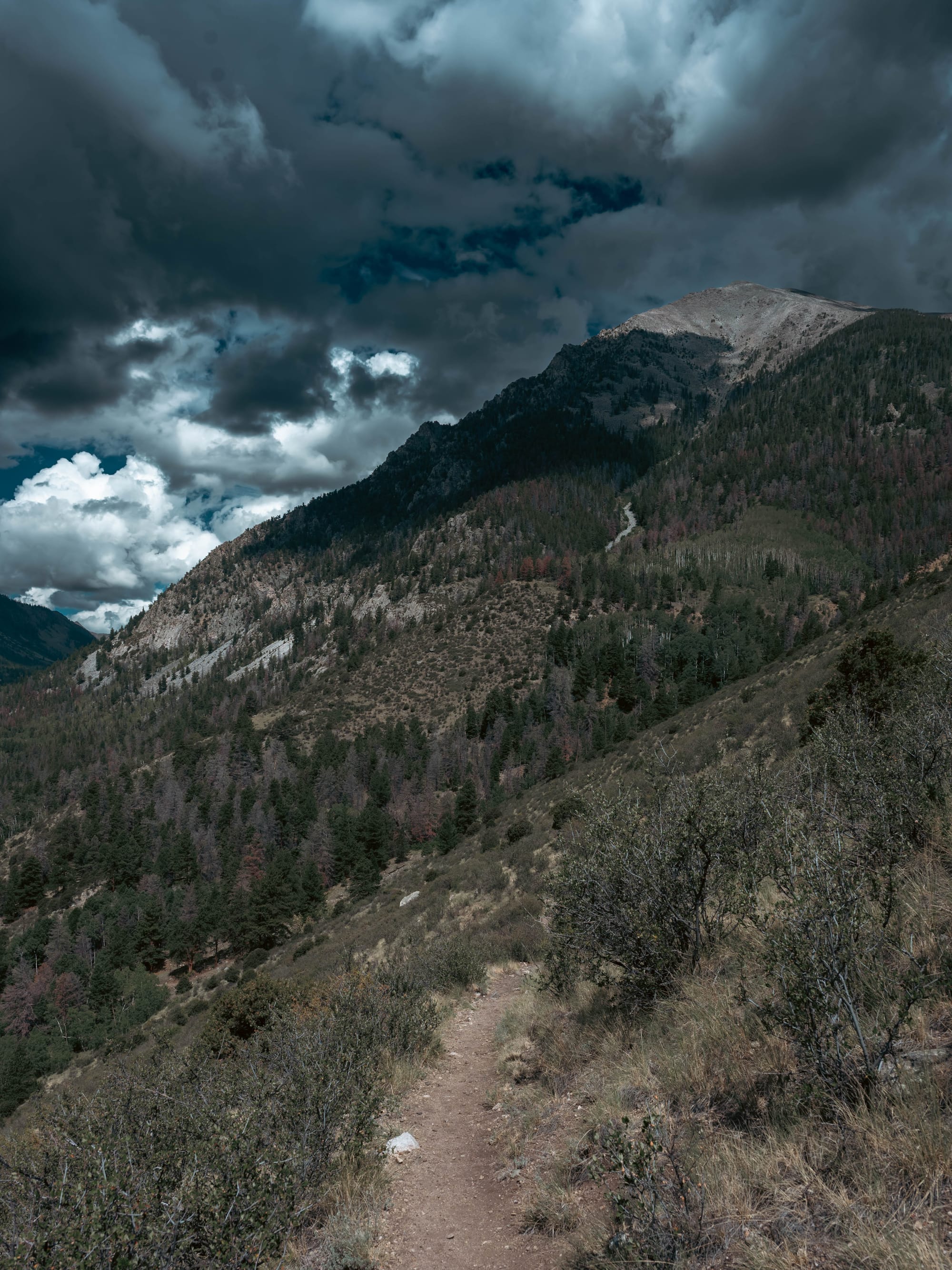
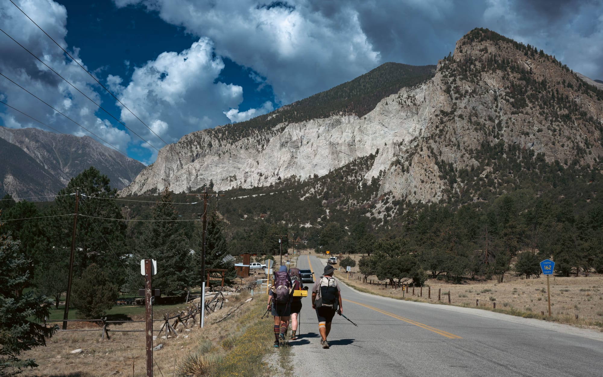
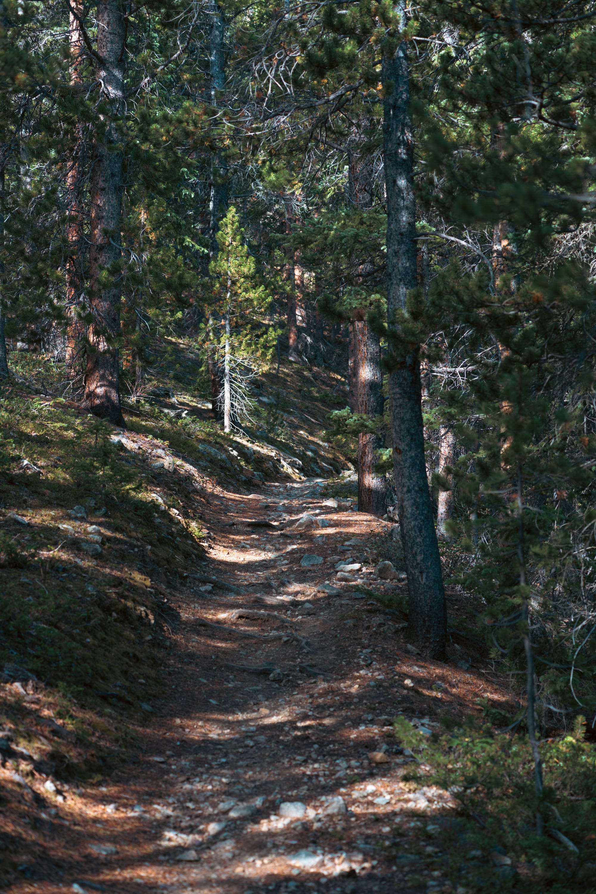
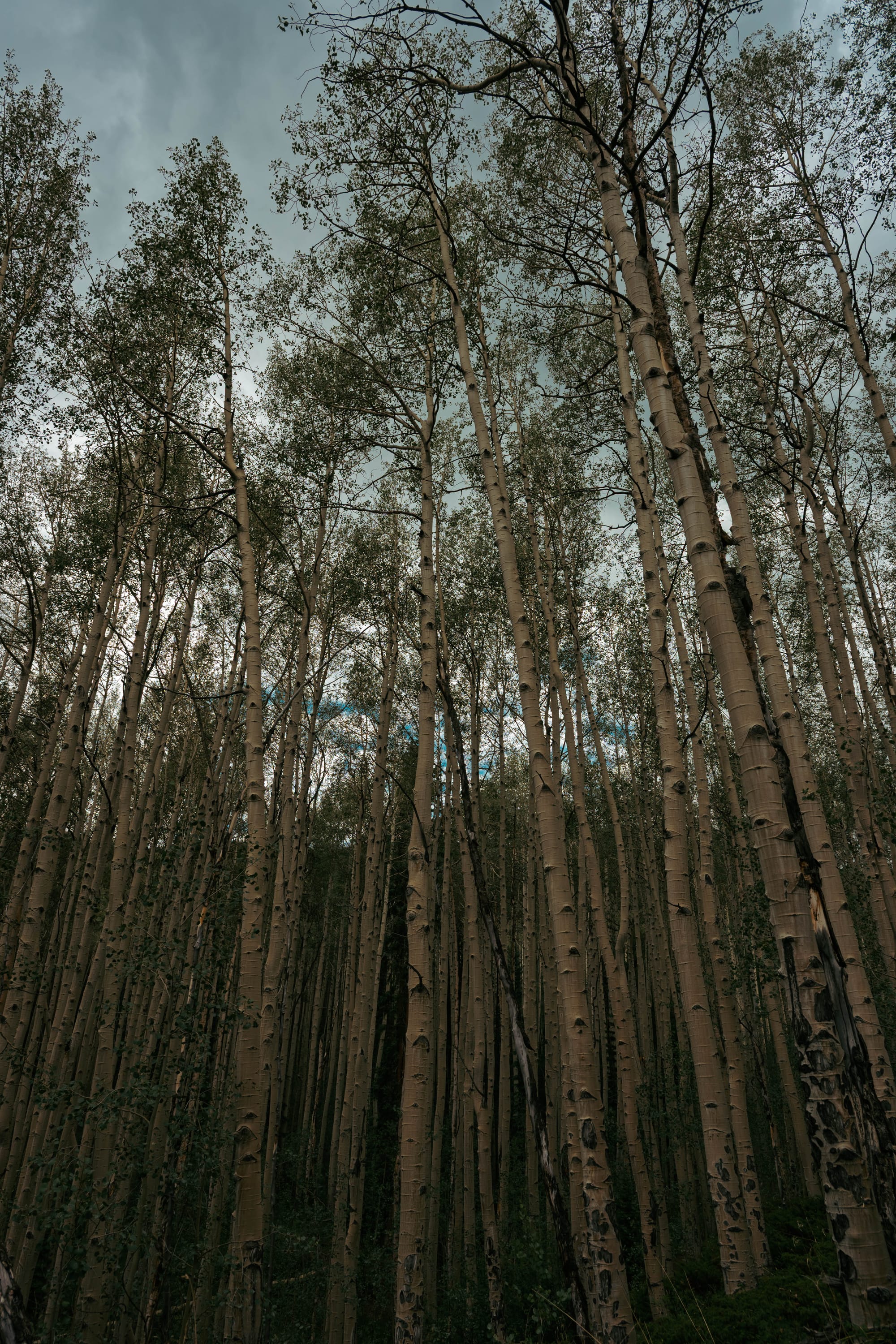
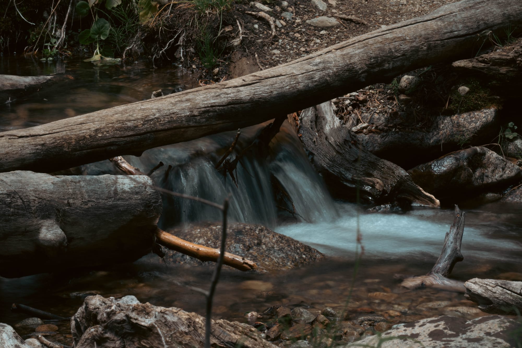
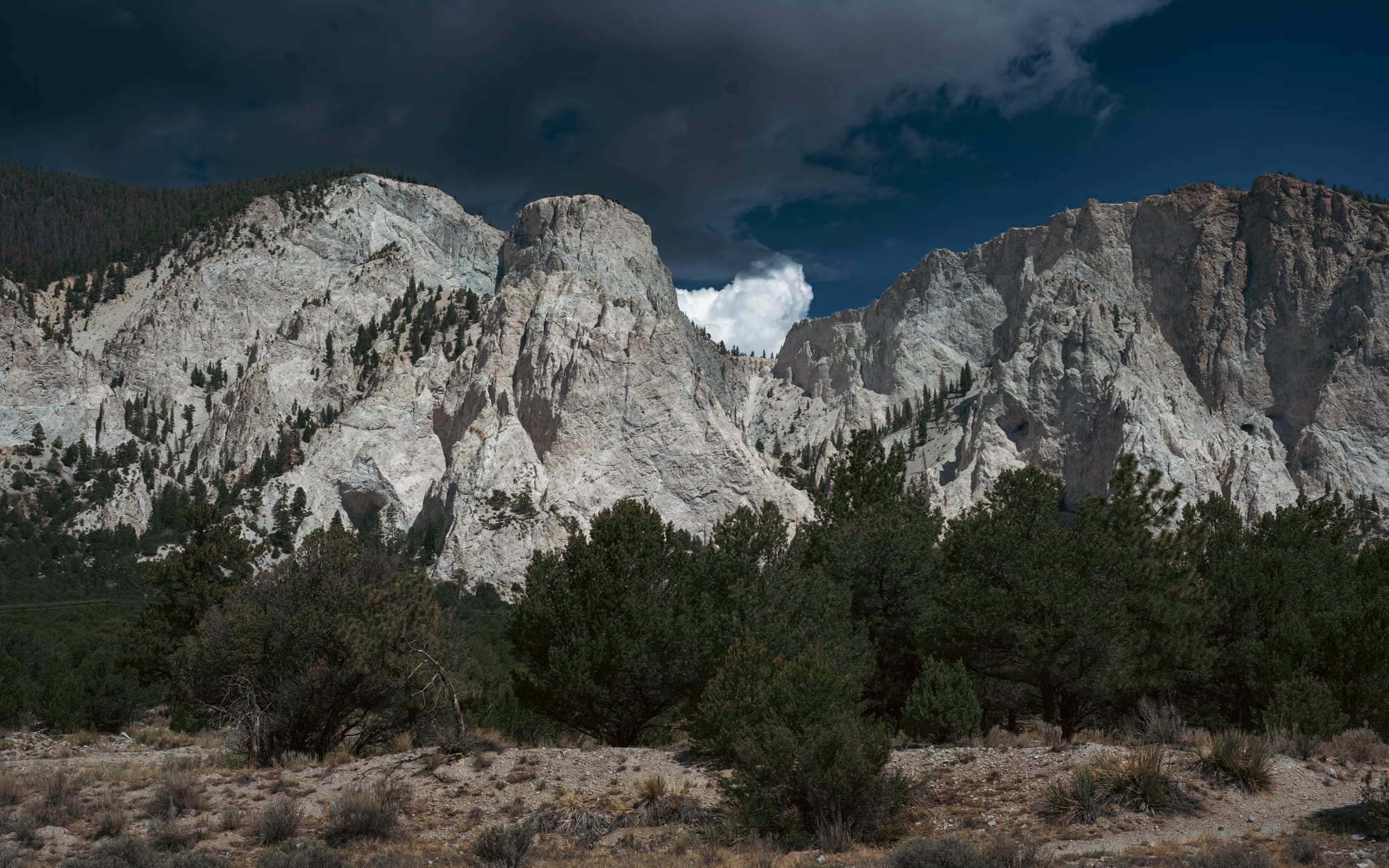
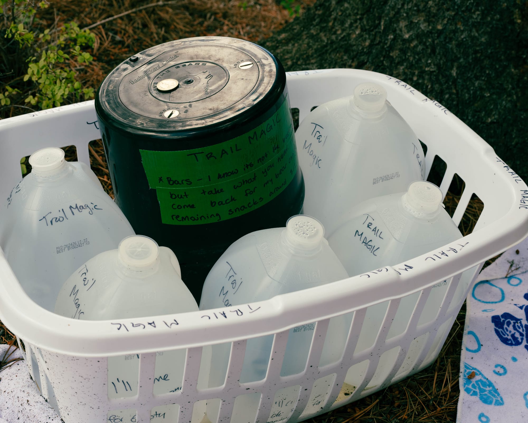
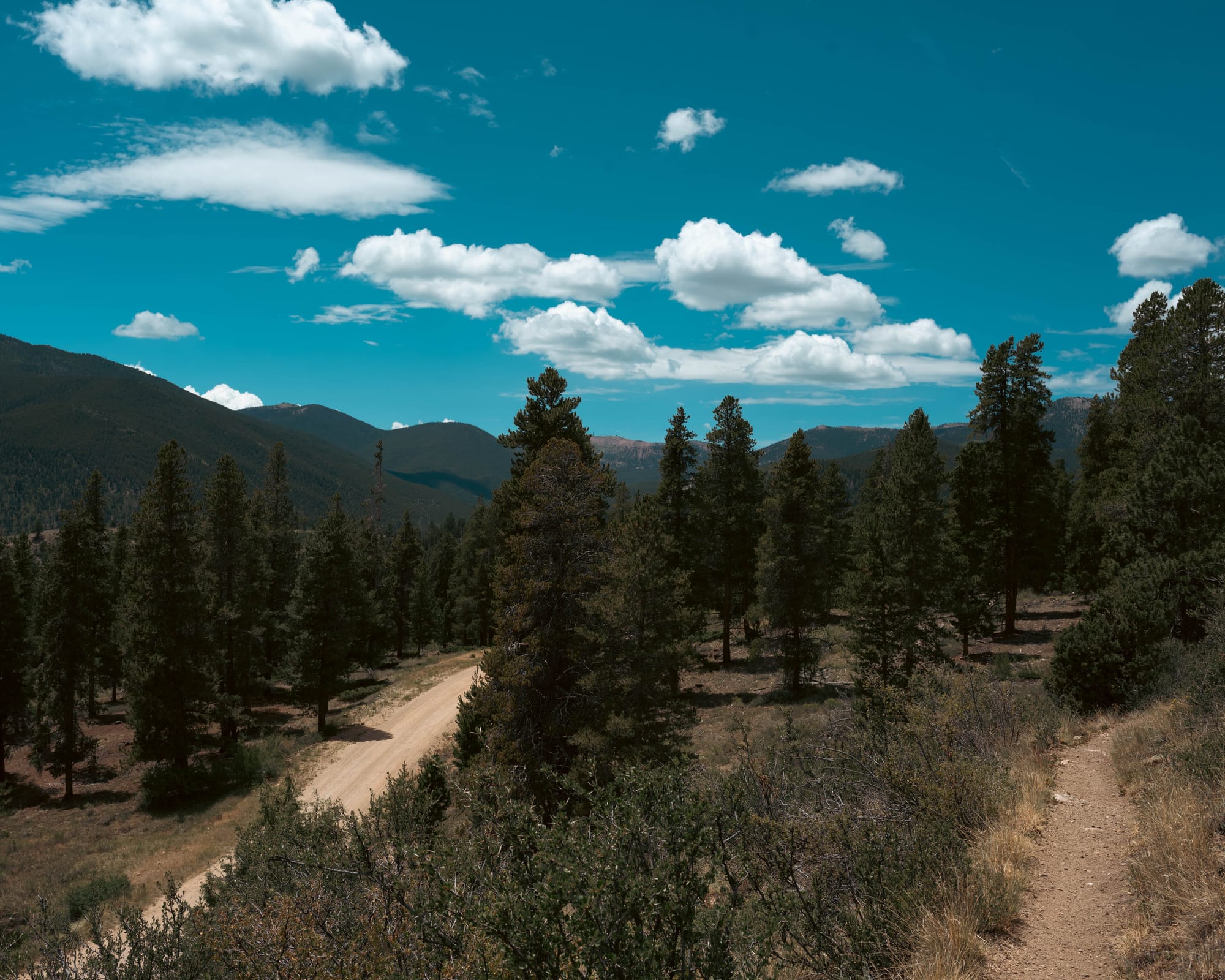
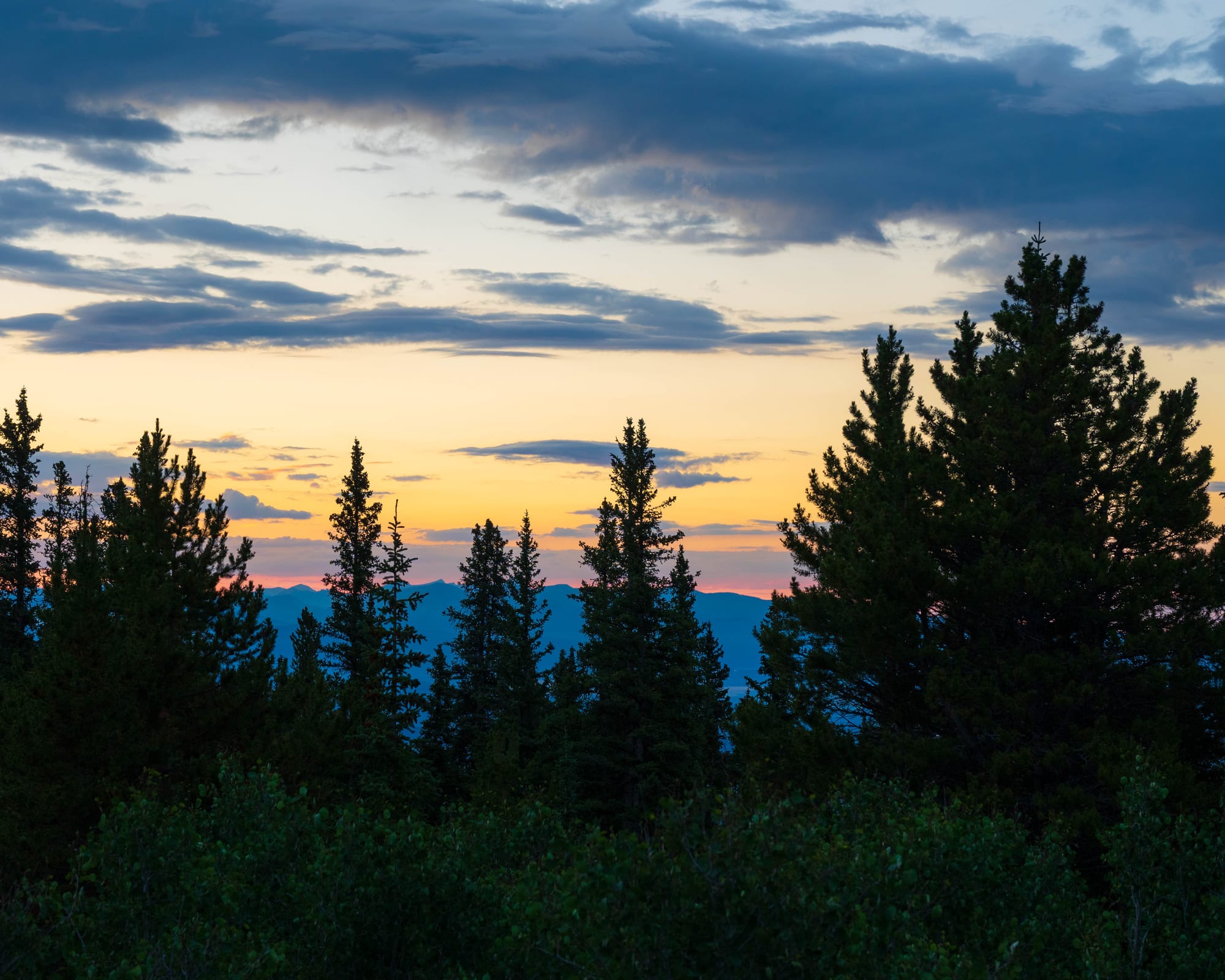
Photos from Collegiate East
Our Route
We started at the northern Collegiate East and West junction and followed Collegiate East south.
Our daily plan was loose. We aimed for approximately 15 miles and stopped where water and workable campsites lined up with that distance.
After five days, Sam picked us up near U.S. 50. We returned to the southern junction and began Collegiate West northbound.
The West was originally planned as another five-day section. It took four.
At the northern junction, we chose not to walk the final three miles back to the exact starting point and then retrace them for pickup. Instead, we followed an alternate trail, crossed the river, and completed a short road walk into Twin Lakes.
The recorded route totaled 154.75 miles rather than closing the full official circuit.
🎒 On the Trail
- Hiking partners: Slow and Steady
- Navigation: FarOut
- Pack: Hyperlite Mountain Gear Unbound 55
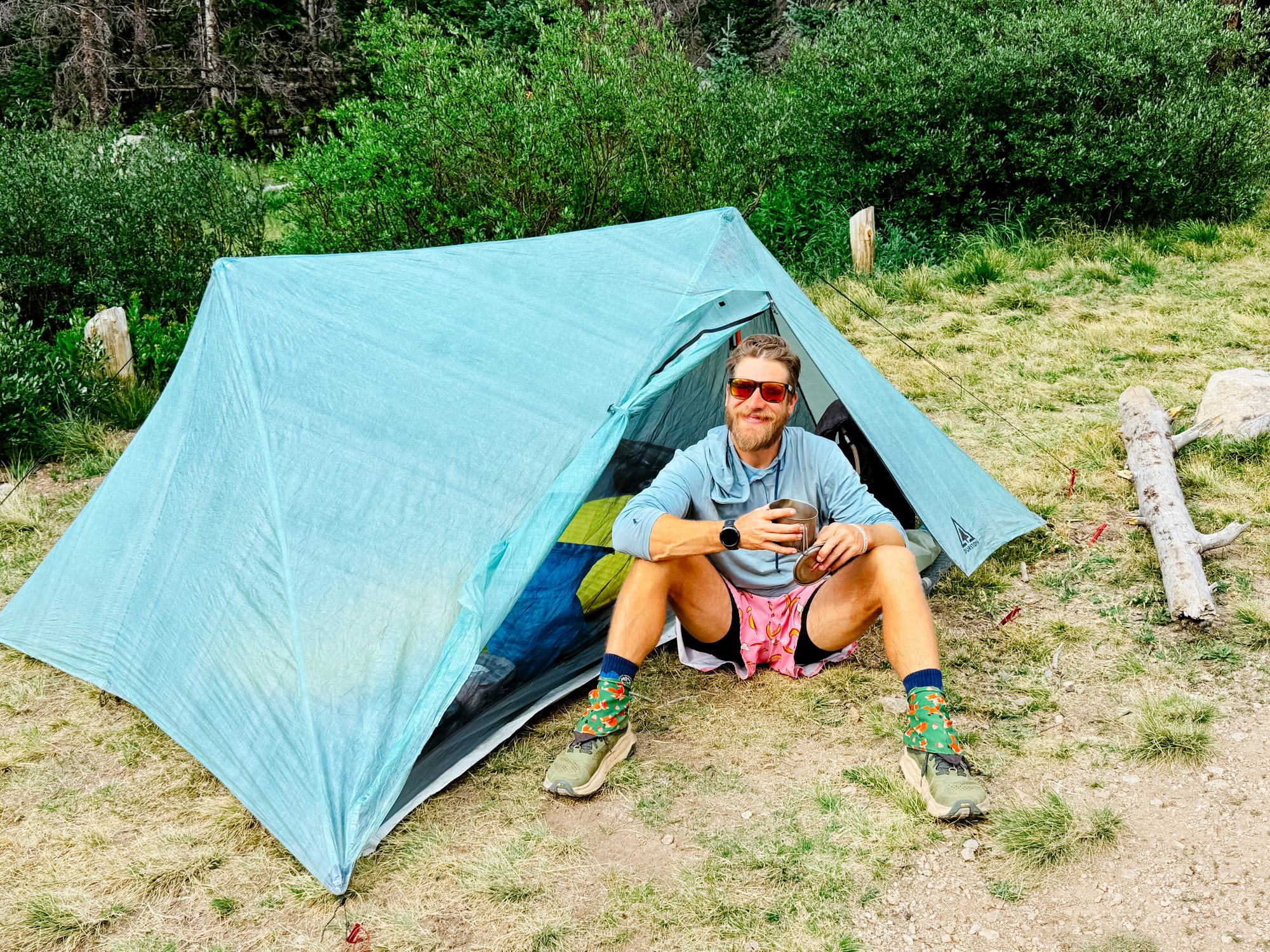
- Shelter: Durston X-Mid Pro 2
- Sleep system: Sea to Summit 50°F quilt · Therm-a-Rest pad
- Water: CNOC bag · Sawyer filter
- Camera carry: Nikon Z6 III · 24–120mm · 100–400mm · DJI Mini 4 Pro
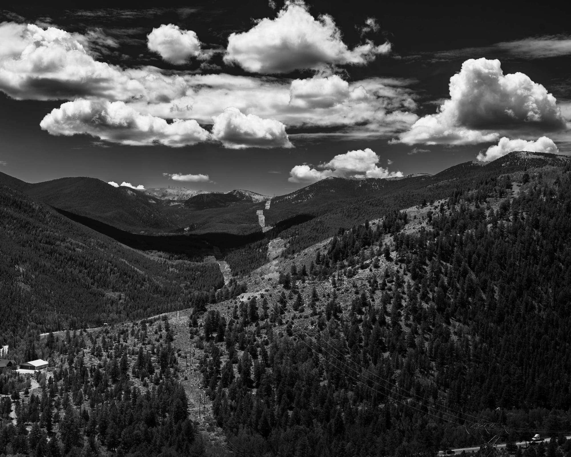
The Carry
Most of my backpacking system was the same equipment I carried on the Appalachian Trail.
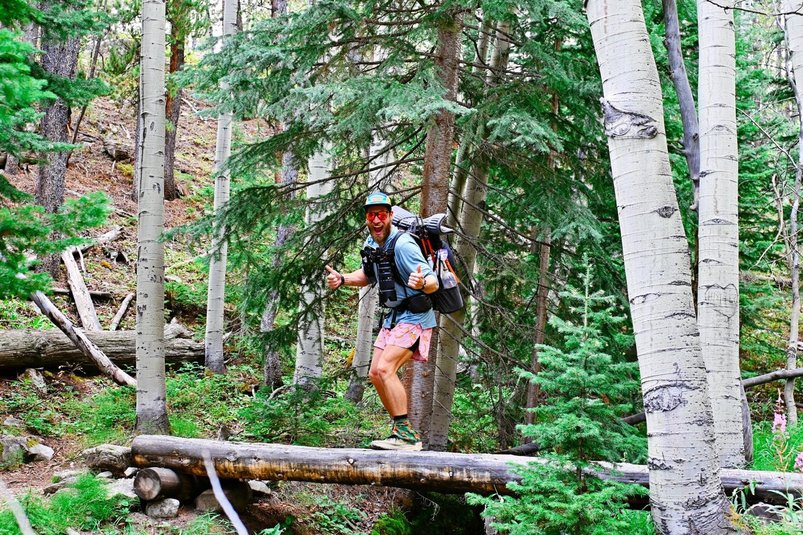
I used a Hyperlite Mountain Gear Unbound 55 with a Durston X-Mid Pro 2, a Sea to Summit 50-degree quilt, a Therm-a-Rest inflatable pad, and a Sea to Summit pillow. I hiked in Altra Olympus 6 shoes, Darn Tough socks, a Ridge Merino sun hoodie, and the pink ChicknLegs banana shorts that have appeared in enough trail photographs to become recognizable.
The backpacking equipment was familiar and reasonably light.
The photography equipment was not.
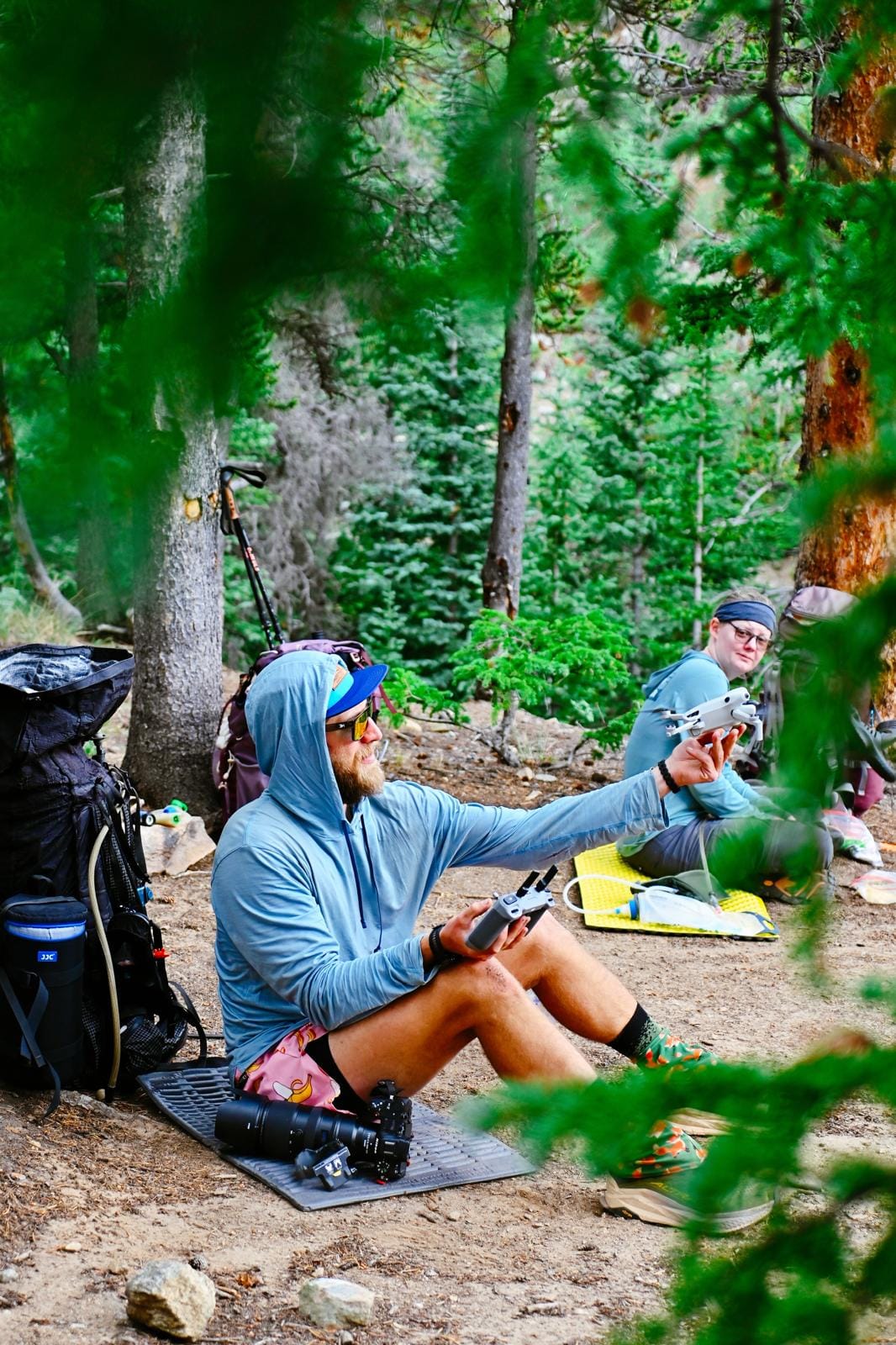
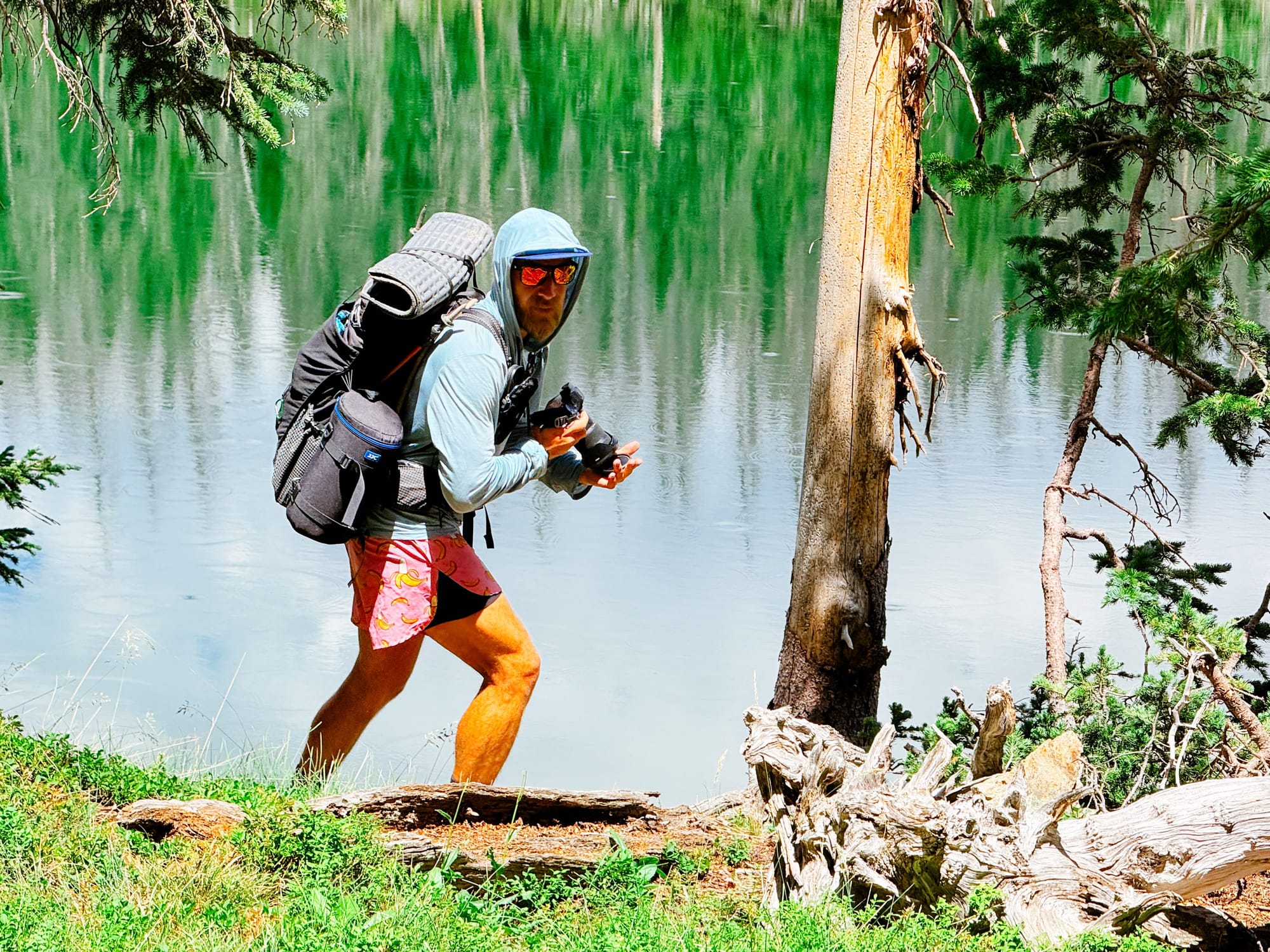
I carried the Nikon Z6 III, 24–120mm, 100–400mm, DJI Mini 4 Pro, controller, and spare batteries. The long lens, drone, and batteries traveled in an external arrangement attached to the side of my pack. It became known as the sidecar.
It added a considerable amount of weight, but it also gave me access to photographs I could not have made with a phone or one small lens. That became especially clear on Collegiate West.
⚡ TL;DR
- Trail highlight: Two distinct routes through the Collegiate Peaks, with the western side providing the stronger hiking
- Best for: Experienced backpackers comfortable with sustained mileage, high elevation, and exposed terrain
- Hardest part: Long climbing days and widely spaced camping options on Collegiate West
- Would I hike it again?: Collegiate West, yes · Collegiate East, no
The Route Posts
The East and West posts tell the rest of the story separately. They were two halves of the same route, but they did not feel like equal parts of the same trail.
Collegiate East
Five days and 76.04 recorded miles through pine, aspen, burned forest, dead forest, and repeated rain. The trail was physically worthwhile but spent most of its mileage below treeline.
Collegiate West
Four days and 78.71 recorded miles through alpine basins, high passes, open camps, and significantly more wildlife. The terrain required longer days but provided the stronger hiking experience.