Collegiate East | Five Days in the Green Tunnel
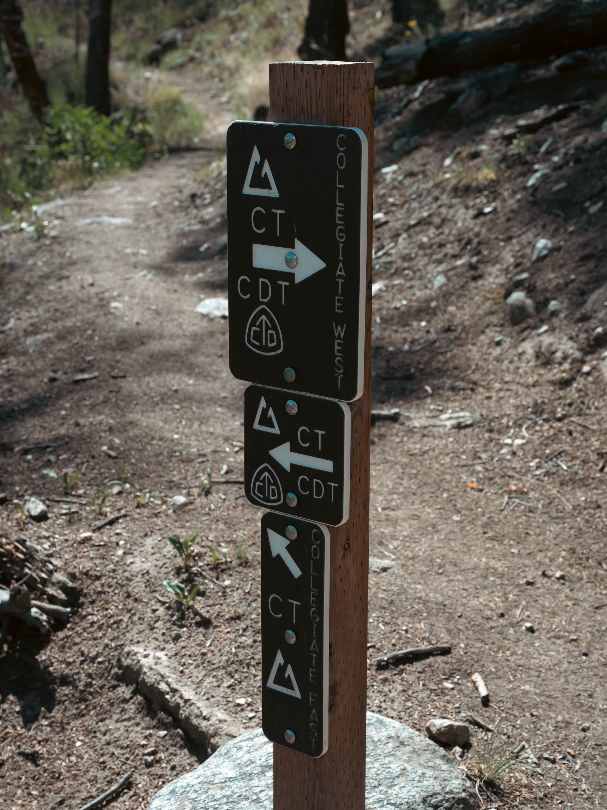
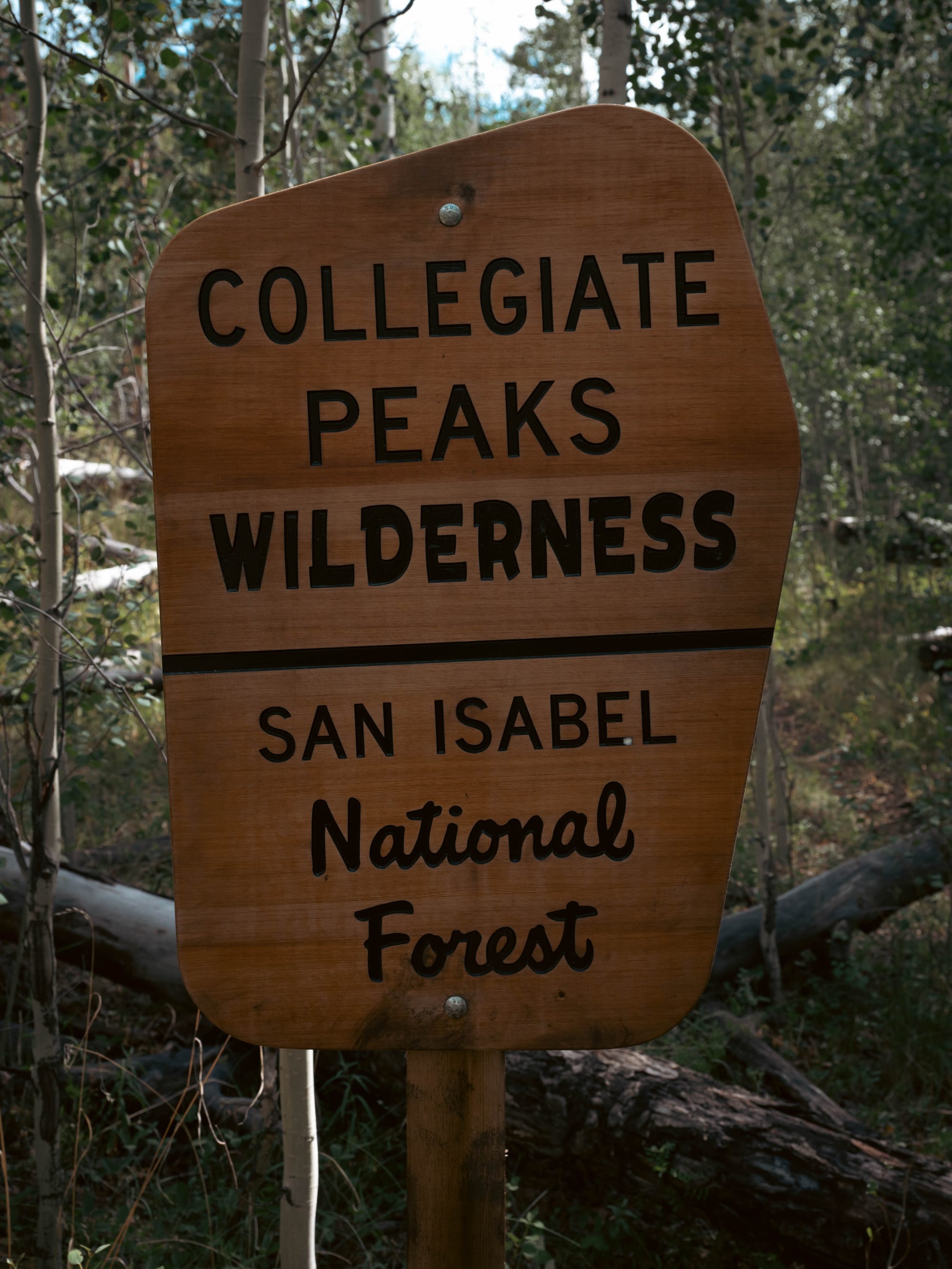
Collegiate East was the first half of our clockwise loop through the Sawatch Range.
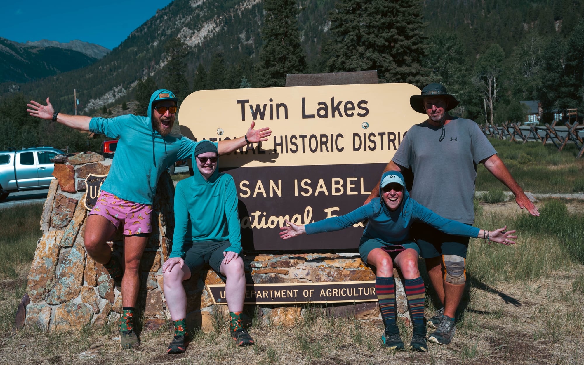
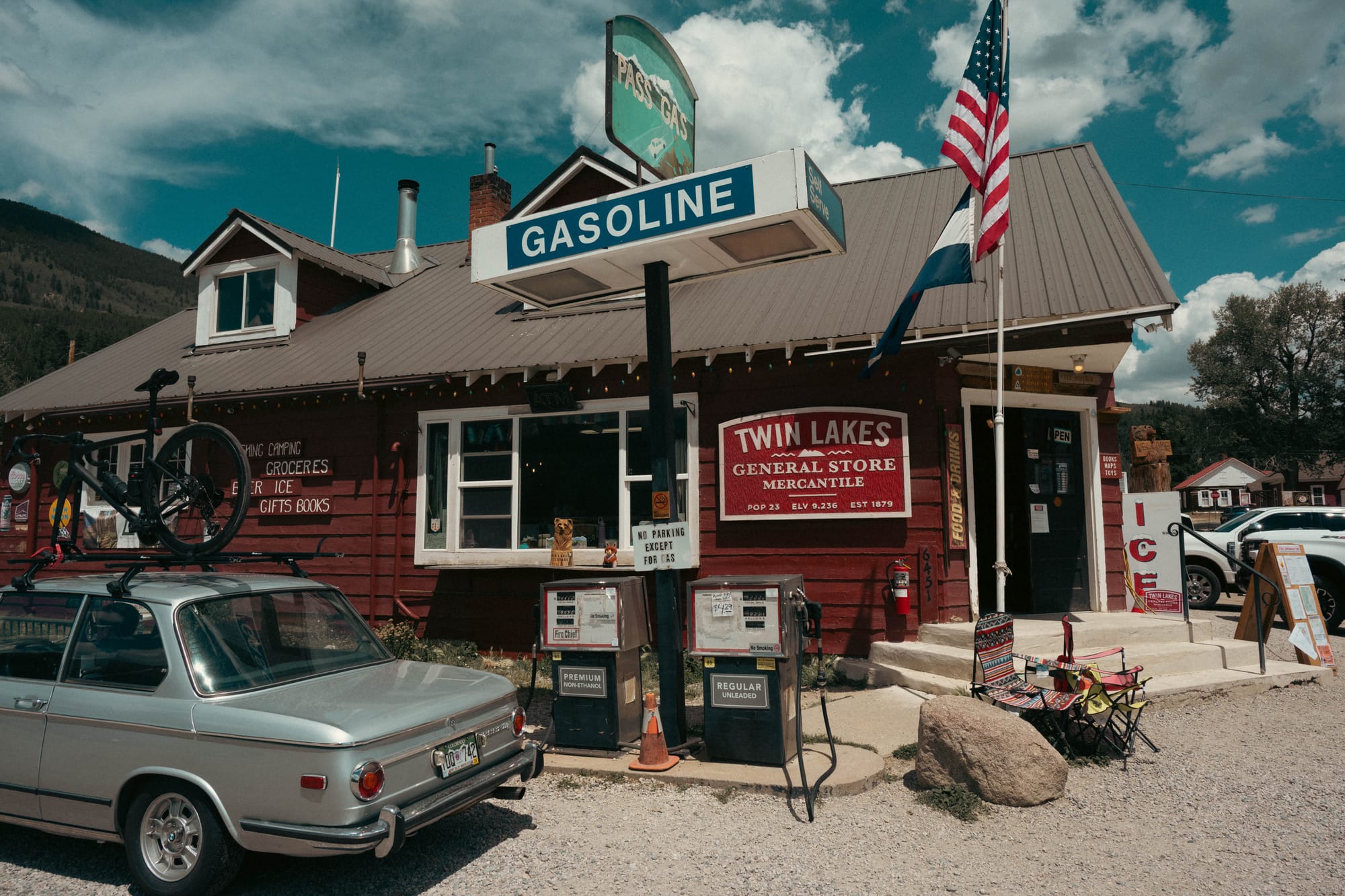
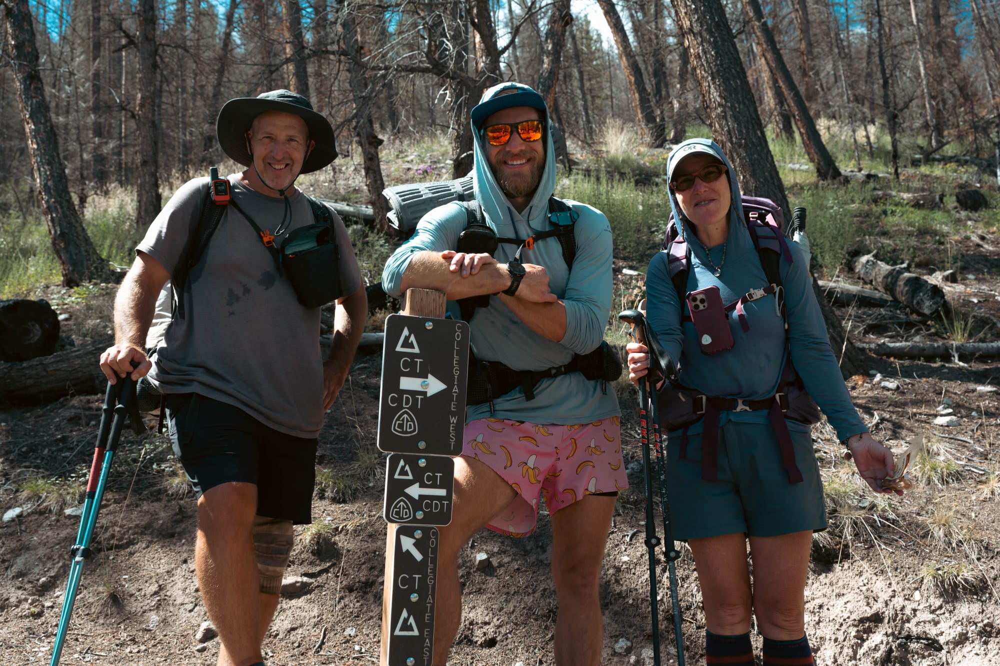
Slow, Steady, and I started at the northern junction near Twin Lakes and headed south. We aimed for approximately 15 miles each day, without assigning exact camps in advance. That gave us enough structure to finish the section in five days while leaving room to stop where water and usable ground lined up.
The route was good, the climbing was real, and the miles passed easily enough with two friends I had already shared the Appalachian Trail and Iceland with.
However, the landscape was more repetitive than I expected.
🧭 Lay of the Land
- Location: Eastern Sawatch Range, Colorado
- Route: Collegiate East
- Direction: Southbound
- Recorded distance: 76.04 miles
- Elevation gained: 15,988 feet
- Recorded moving time: 28:50:46
- Time on trail: 5 days
- Dates: July 25–29, 2026
The Eastern Side of the Sawatch
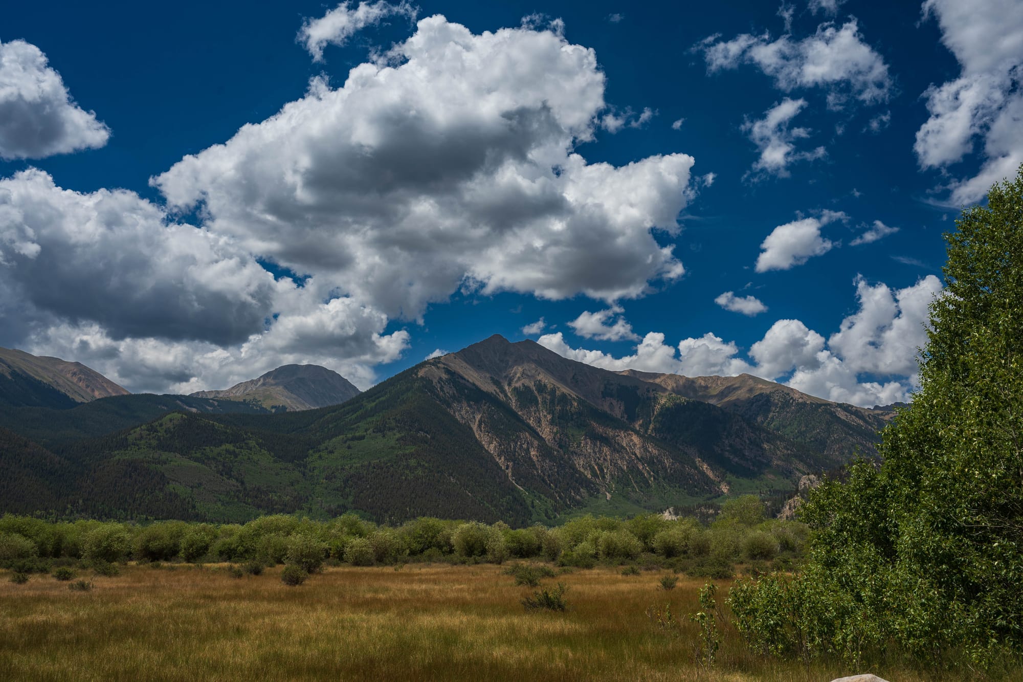
Collegiate East follows the original Colorado Trail alignment along the eastern side of the Sawatch Range. The section runs from the Twin Lakes area south through parts of Colorado Trail Segments 11 through 15 before reaching the southern Collegiate junction above South Fooses Creek.
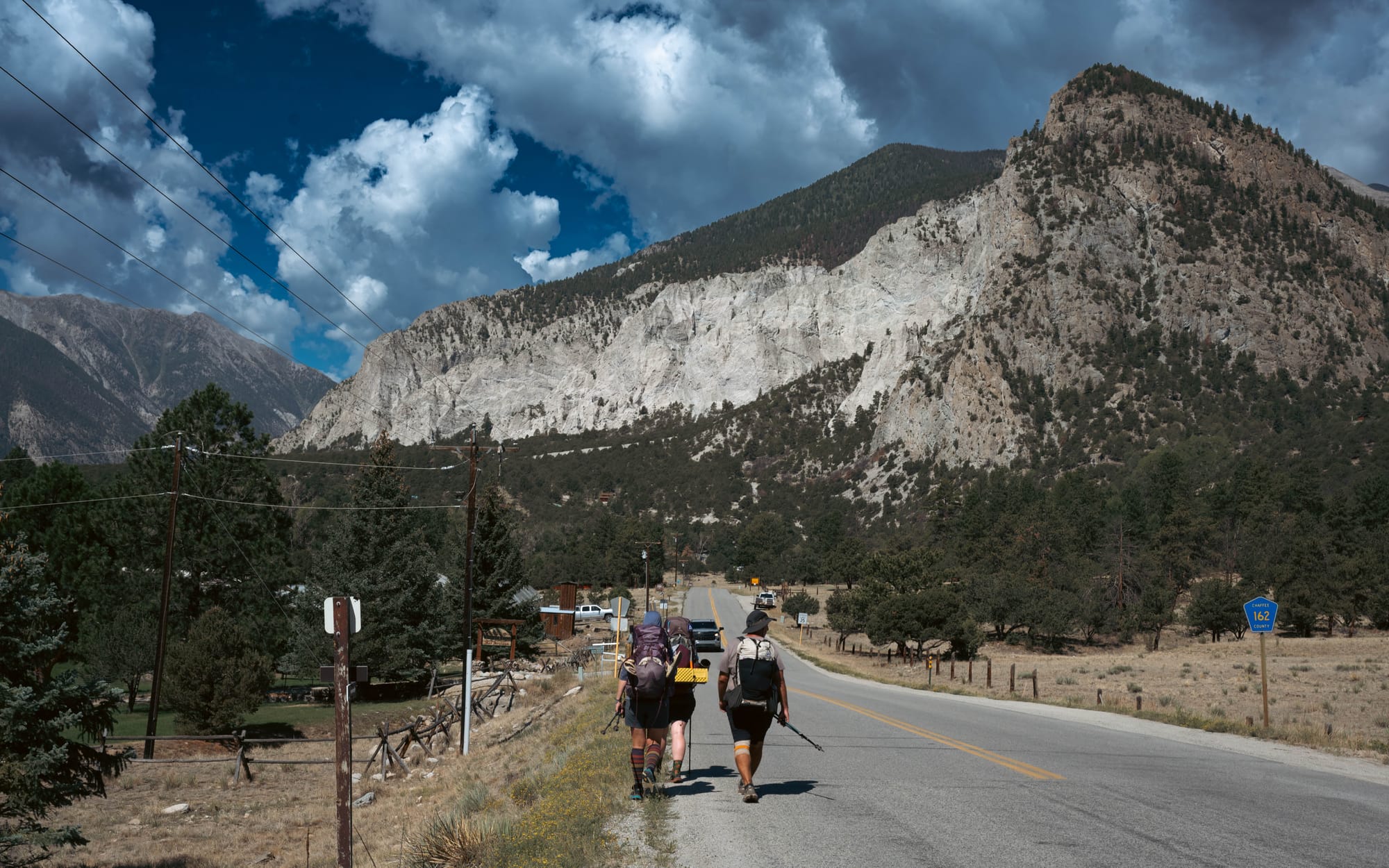
The route passes near Mounts Yale, Princeton, Antero, Shavano, and Tabeguache Peak. Side trails leave the CT for several of those summits, which helps explain why traffic increased around some junctions and trailheads. Official route highlights include Harvard Lakes, Cottonwood Hot Springs, Mount Princeton Hot Springs, and the Chalk Cliffs.
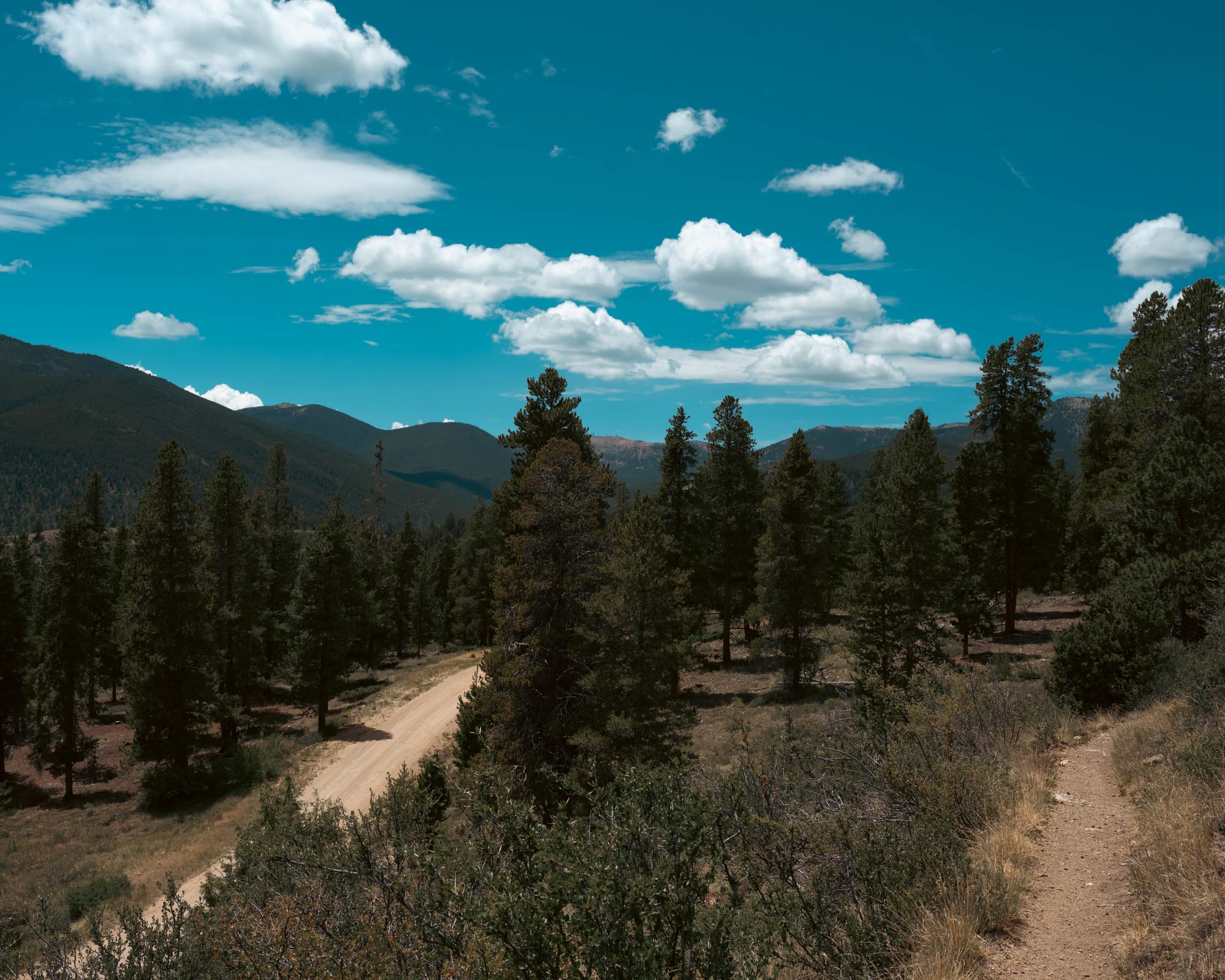
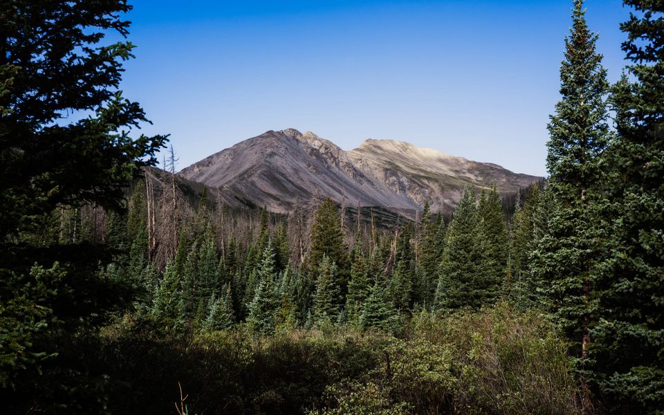
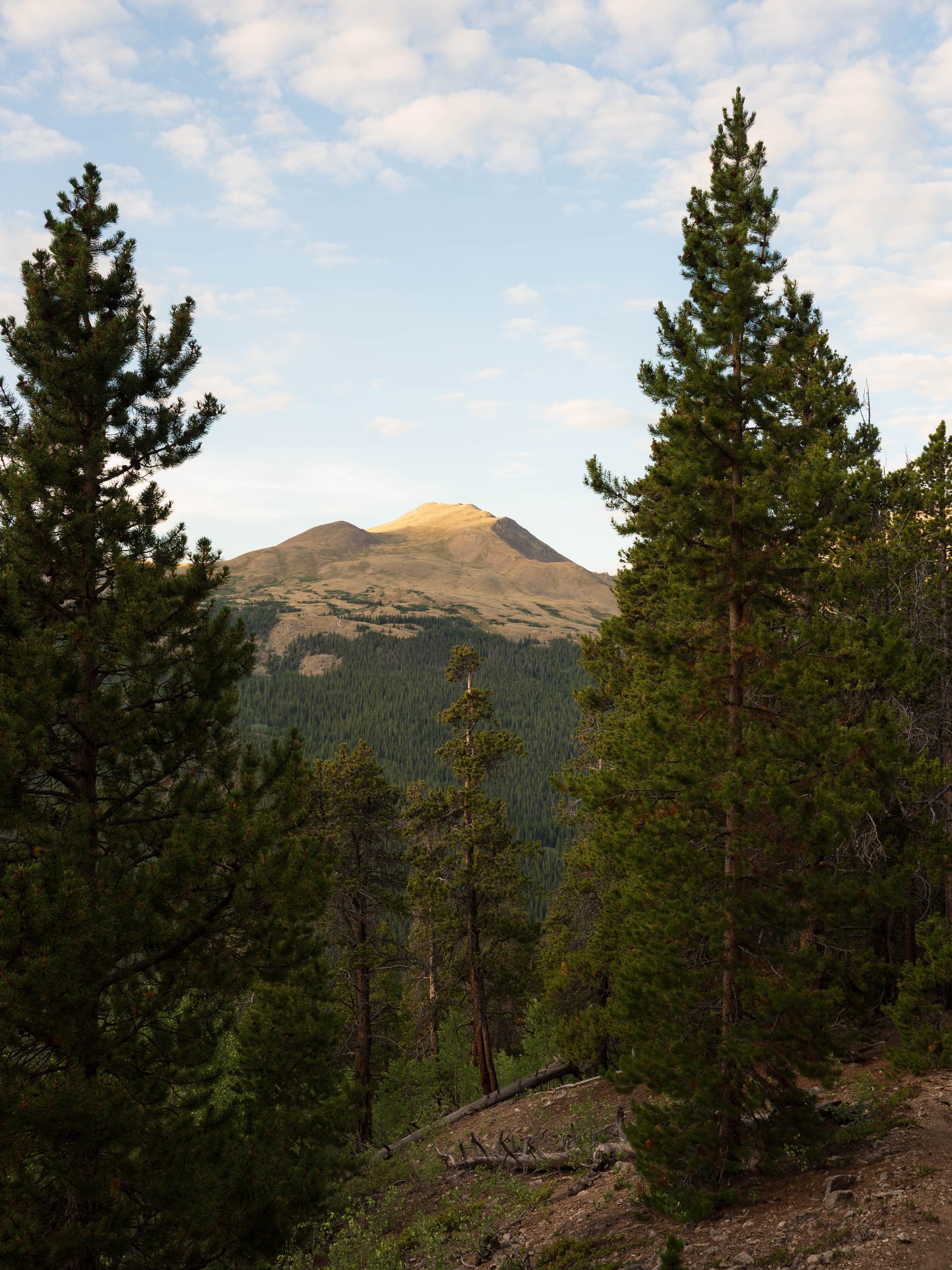
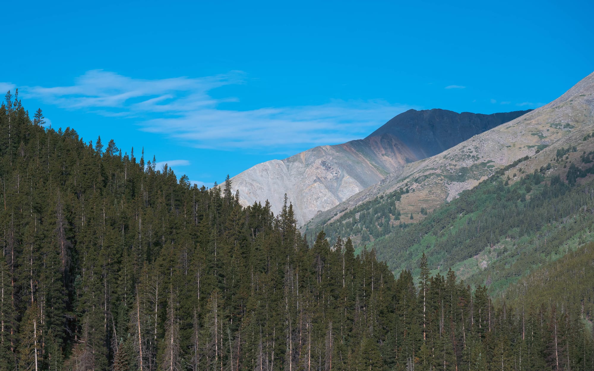
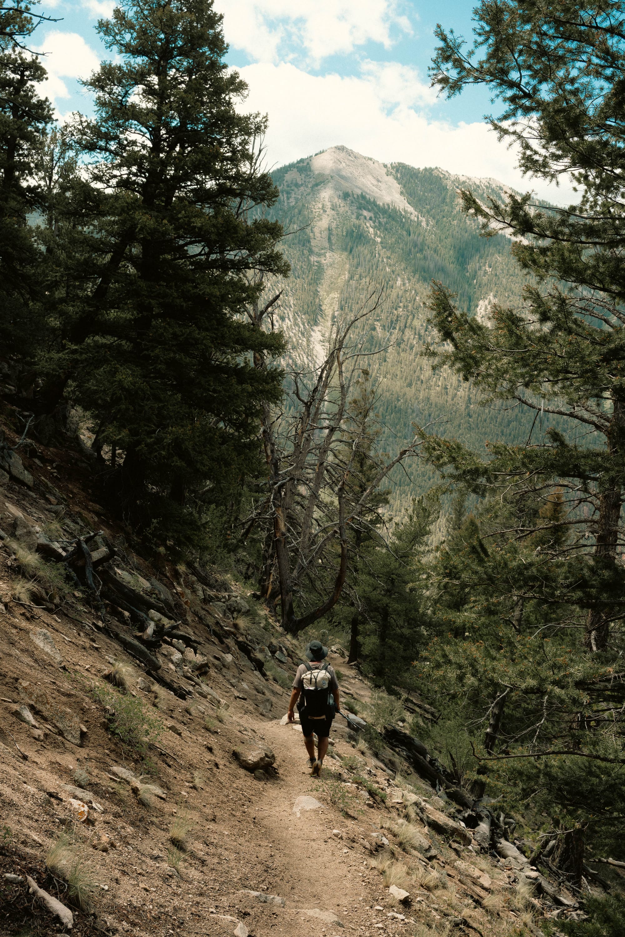
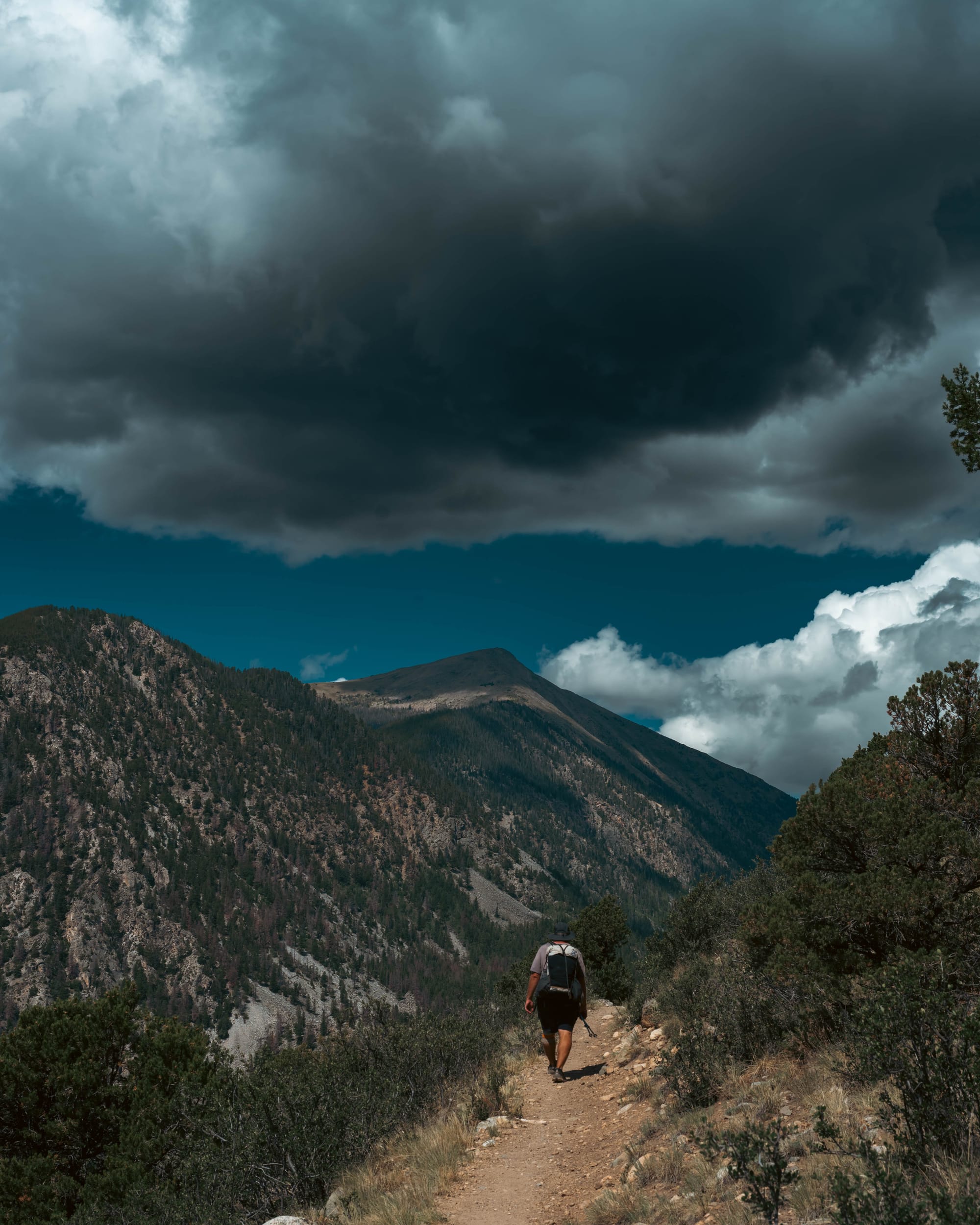
Despite the concentration of fourteeners nearby, most of the East stayed below treeline.
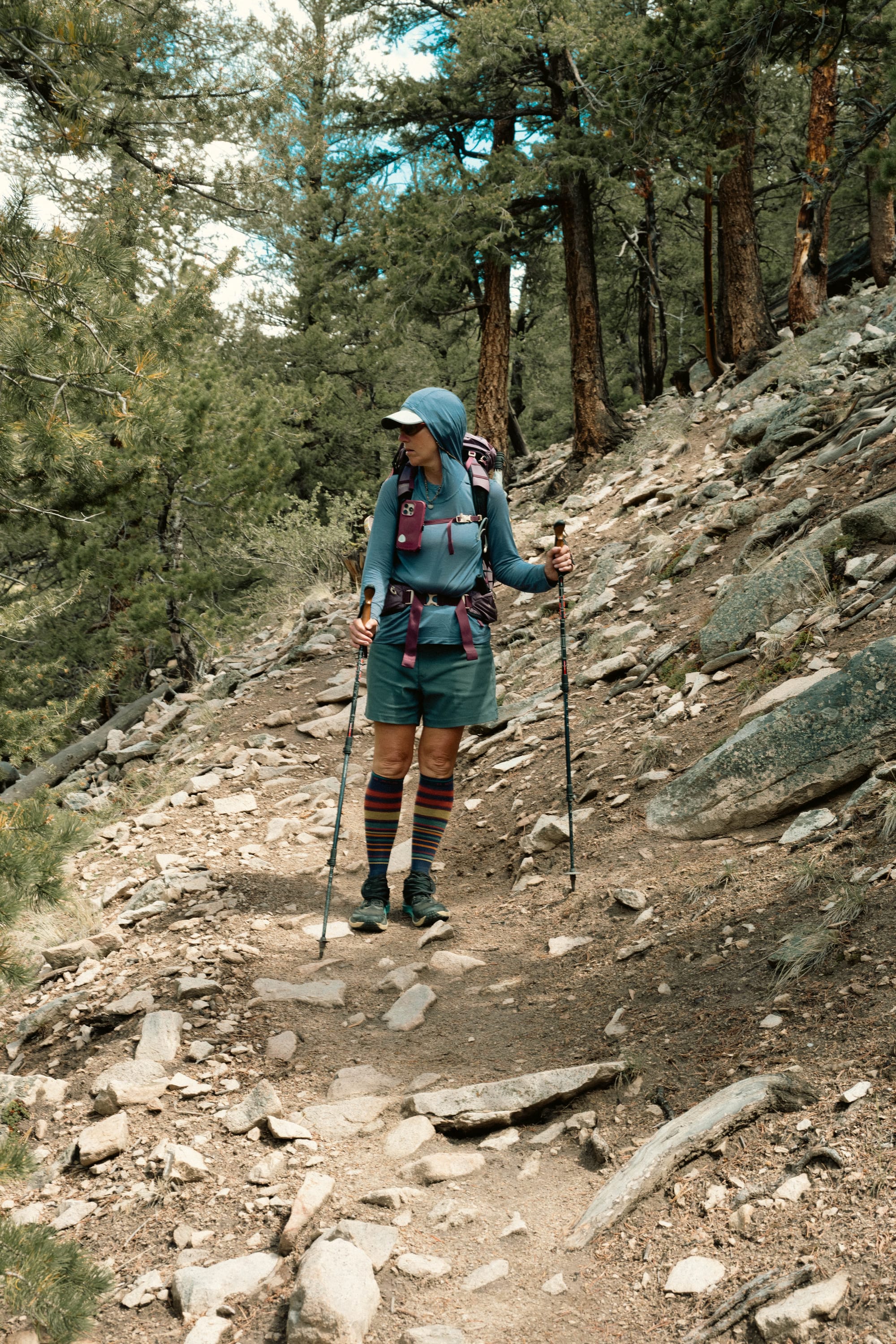
The trail moved along the lower eastern slope of the range rather than remaining on the high ridges. That meant long forested climbs, frequent drainages, regular water, and more access to roads and developed areas than we later encountered on Collegiate West.
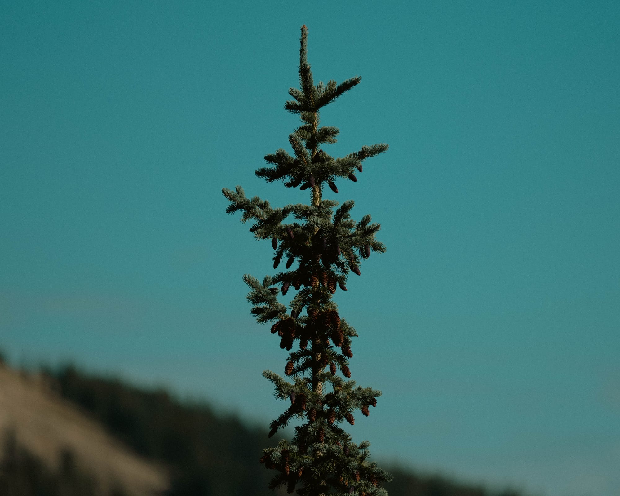
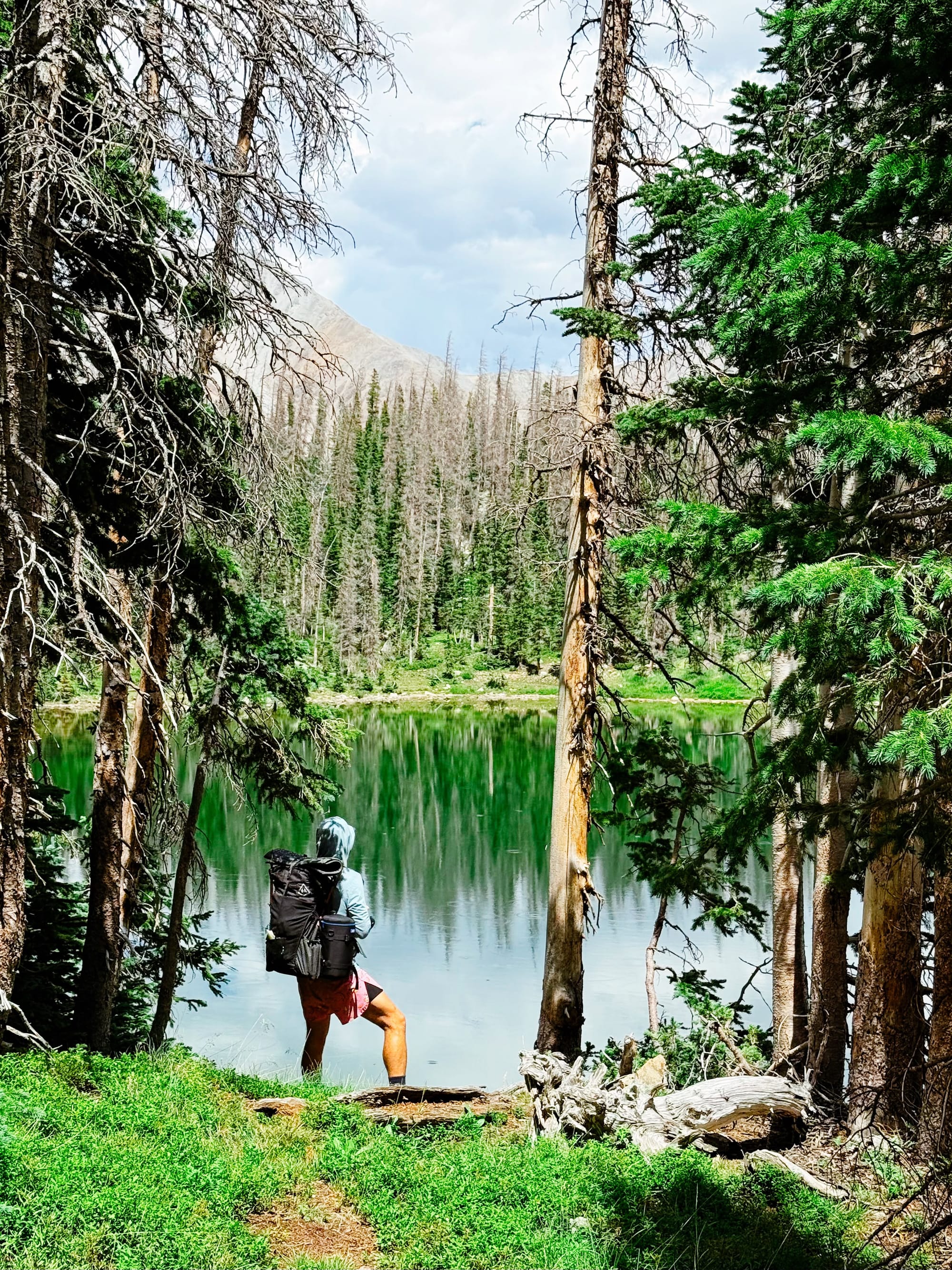
The forest did not feel continuously mixed. It changed in blocks.
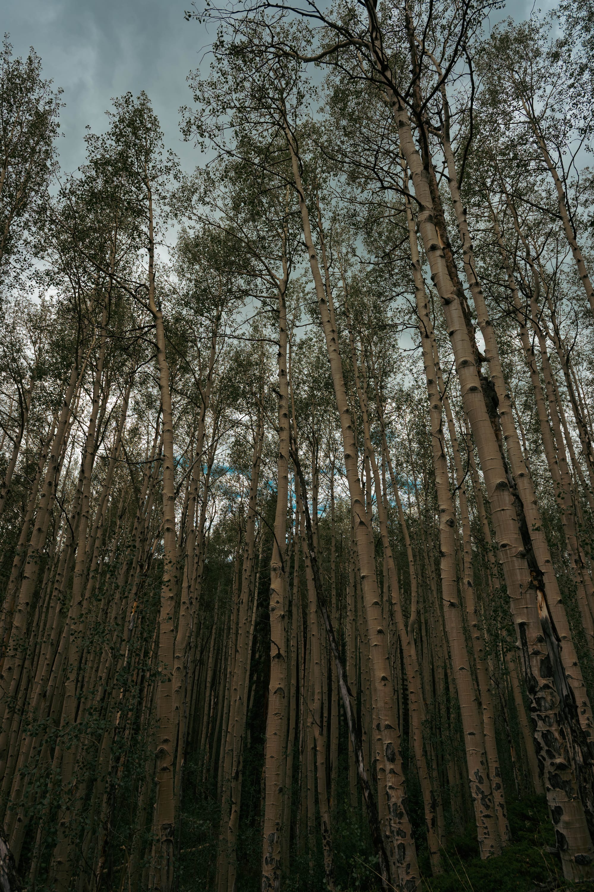
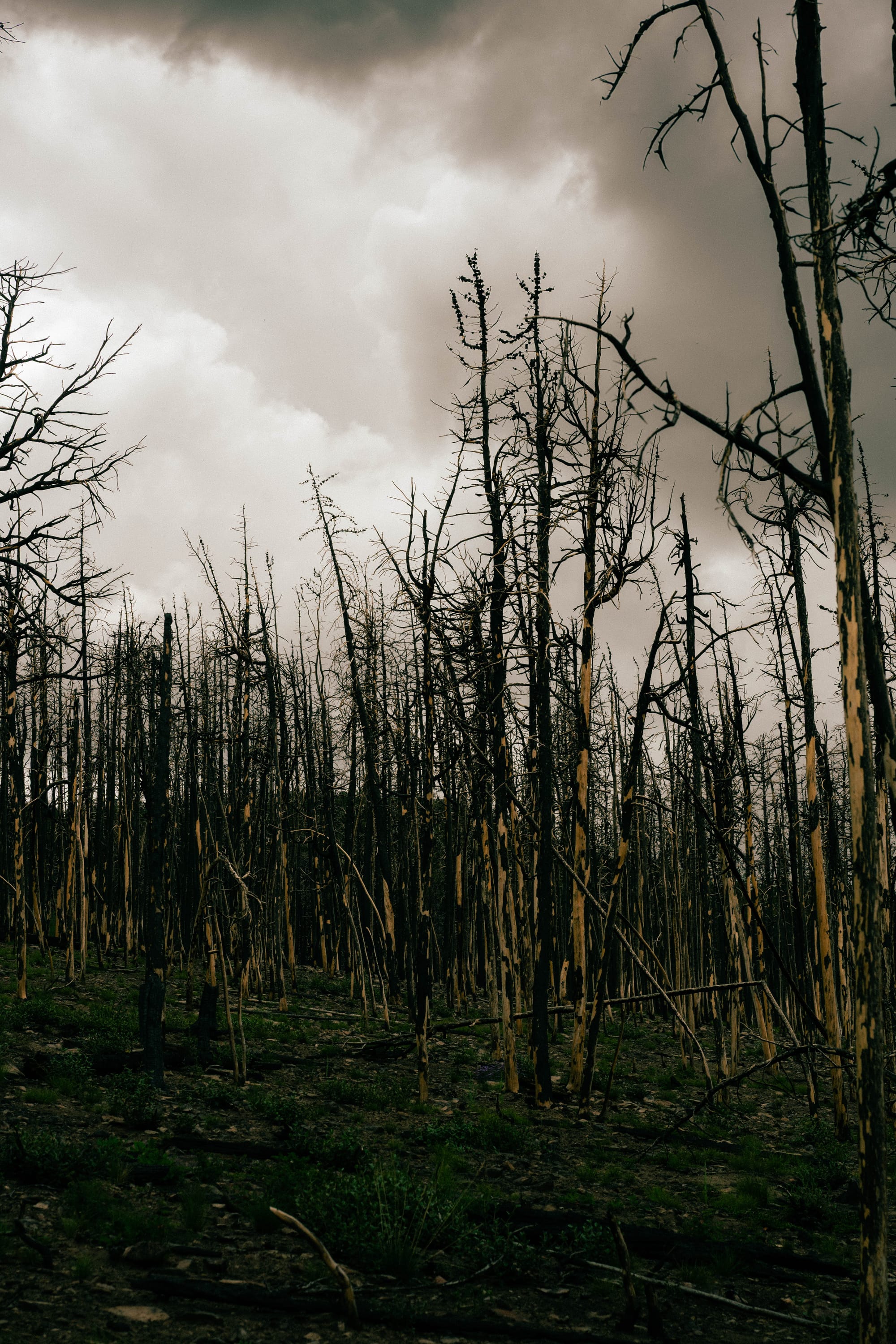
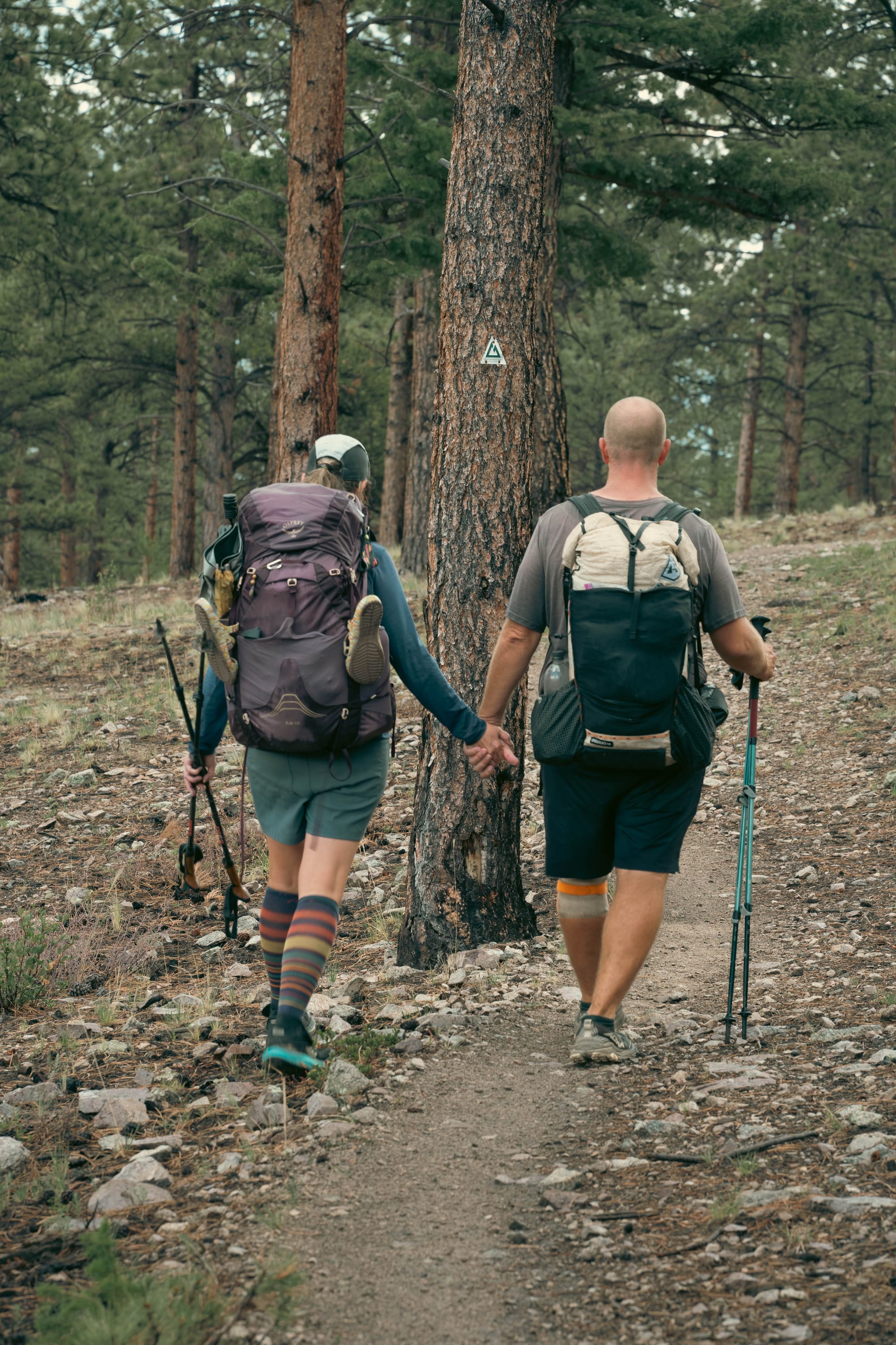
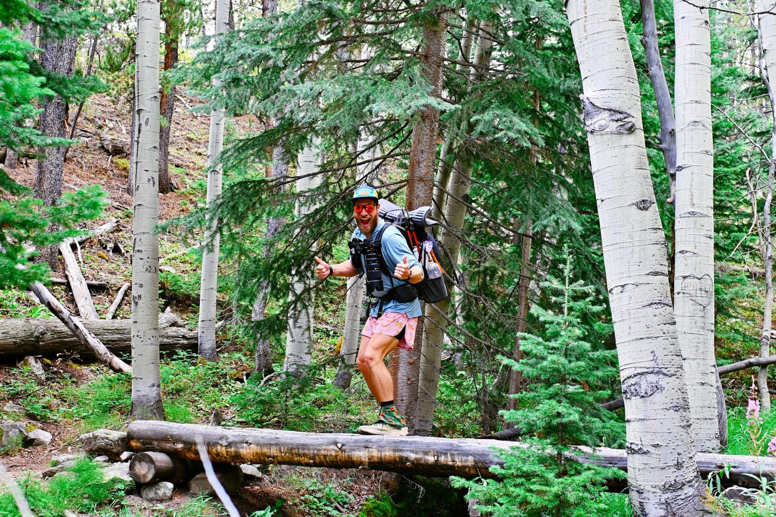
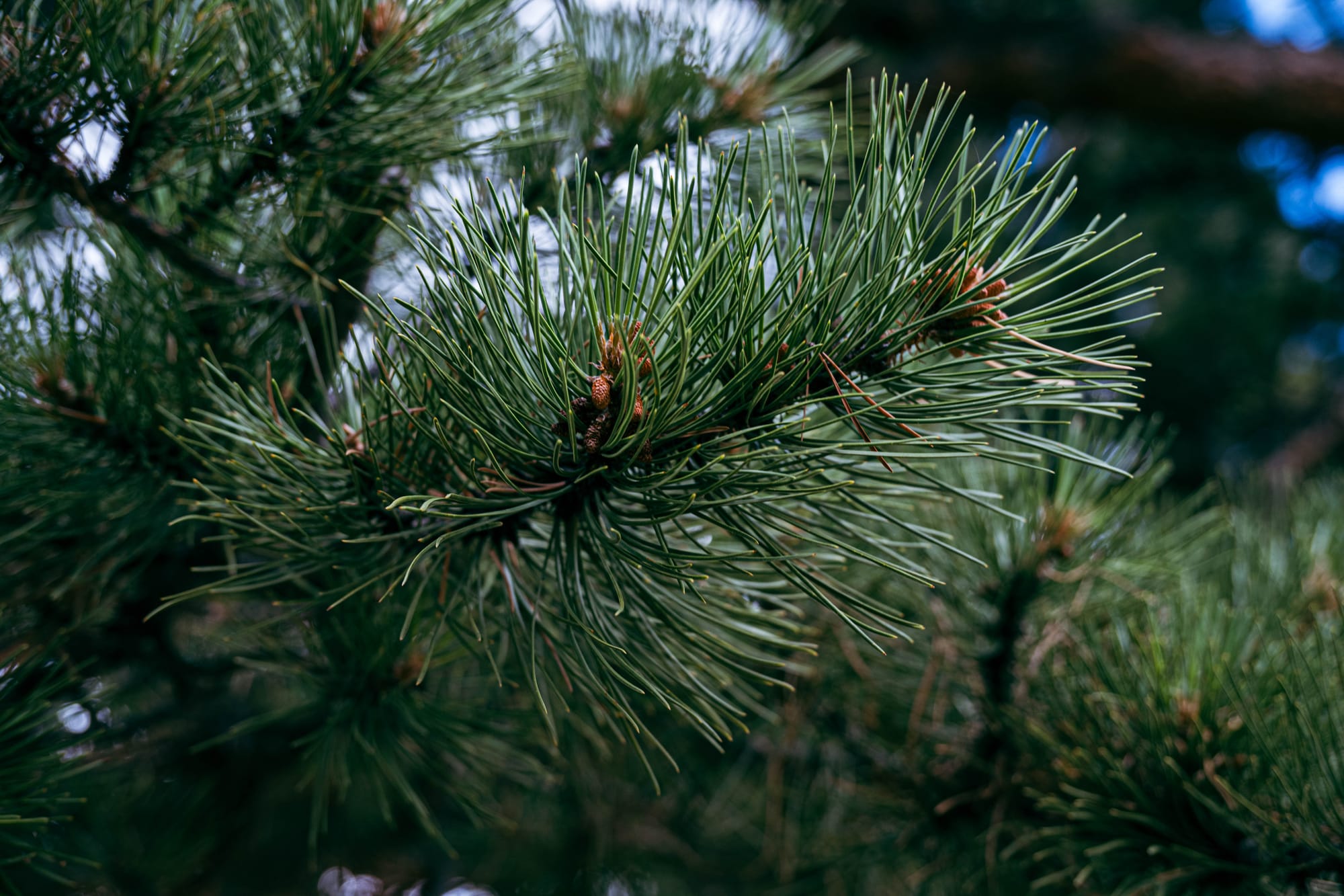
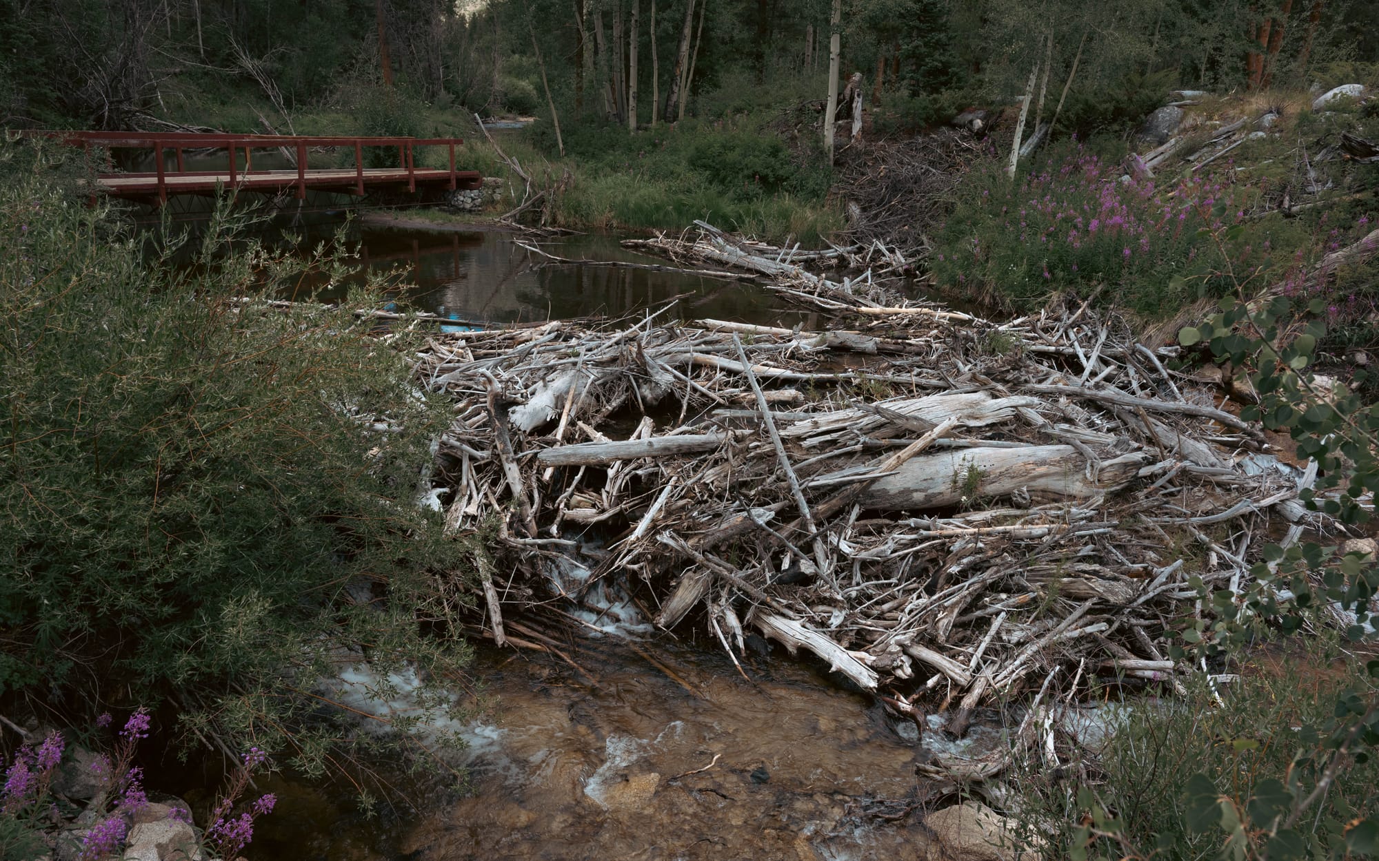
We moved through pine, then aspen, then pine again. At other points the trail entered burned forest, standing dead trees, or sections where the timber had already fallen.
Then the pattern repeated.
The First Two Days
The first day covered 15.78 miles with 4,587 feet of climbing, the largest gain of our East section.
Most of that work happened beneath the trees. We climbed steadily from the northern junction and spent much of the day adjusting to loaded packs and elevation.
Our first camp was also the closest we came to having a view from camp on the East. The tents were still in the trees, but we could walk a short distance and see some of the surrounding terrain.
Day two brought several more climbs and one of the best openings of the section.
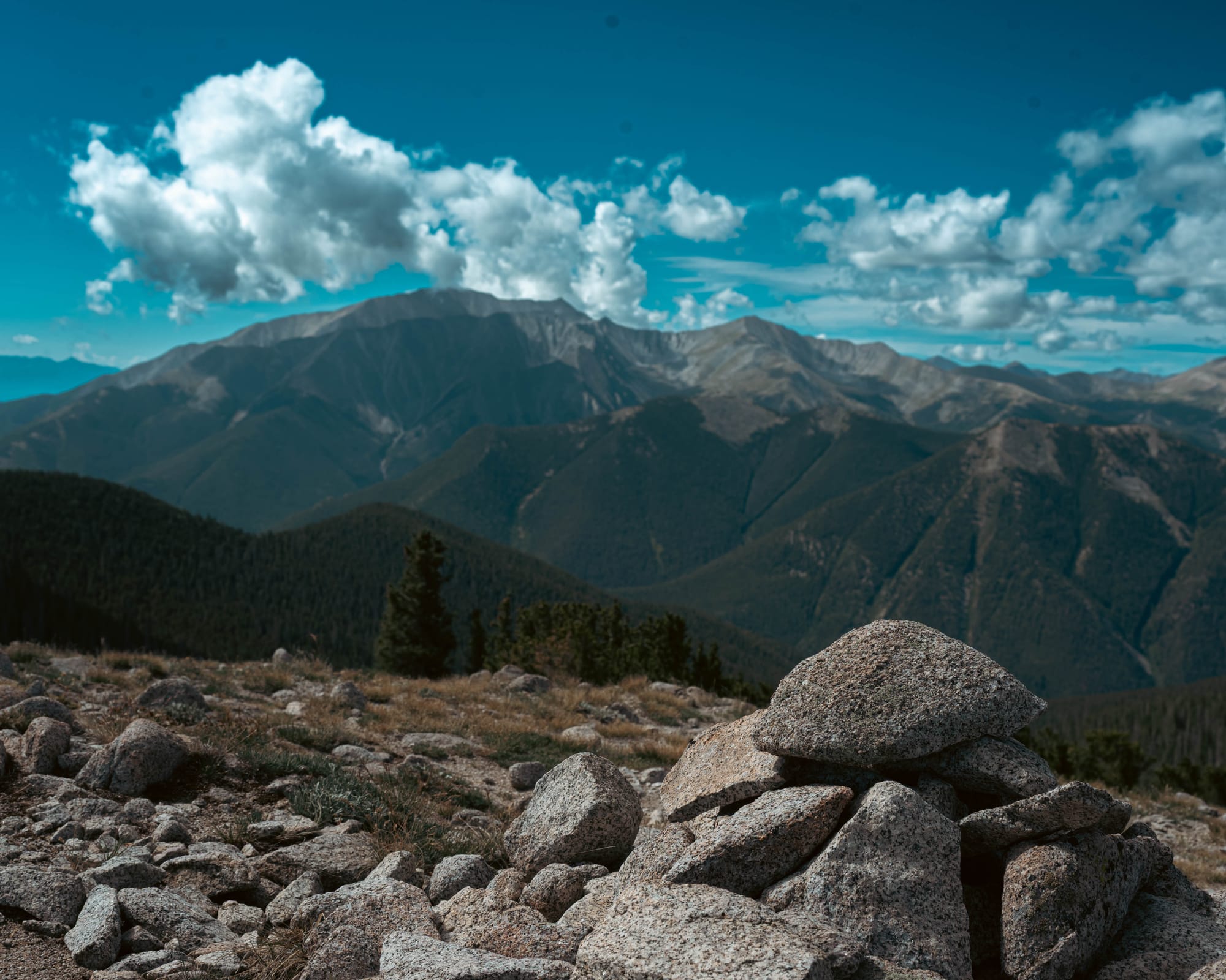
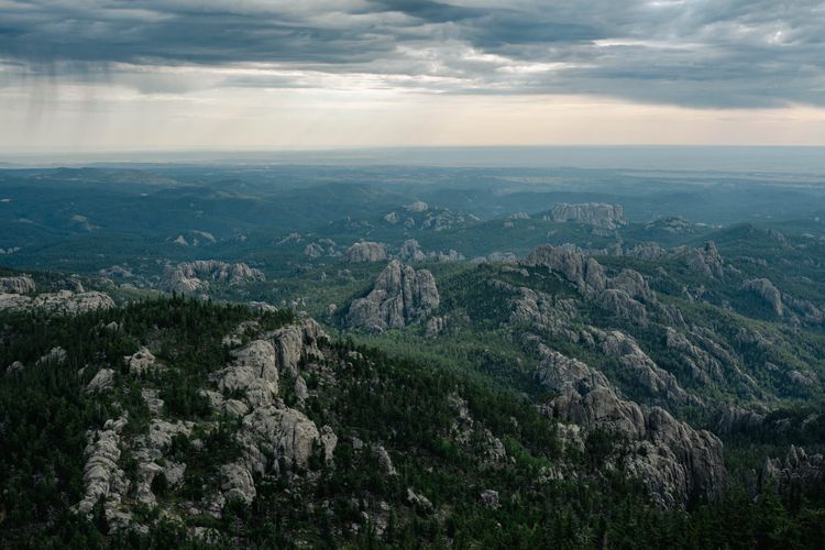
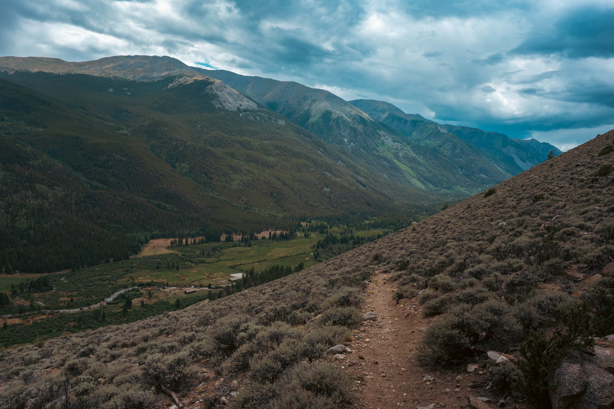
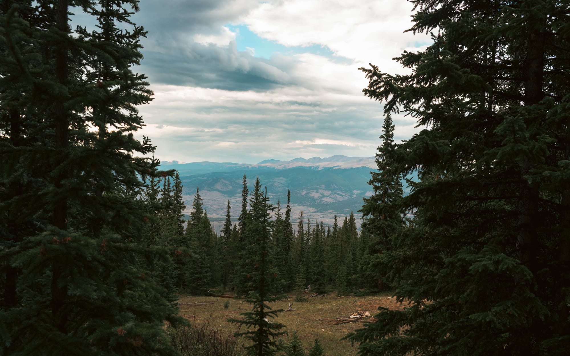
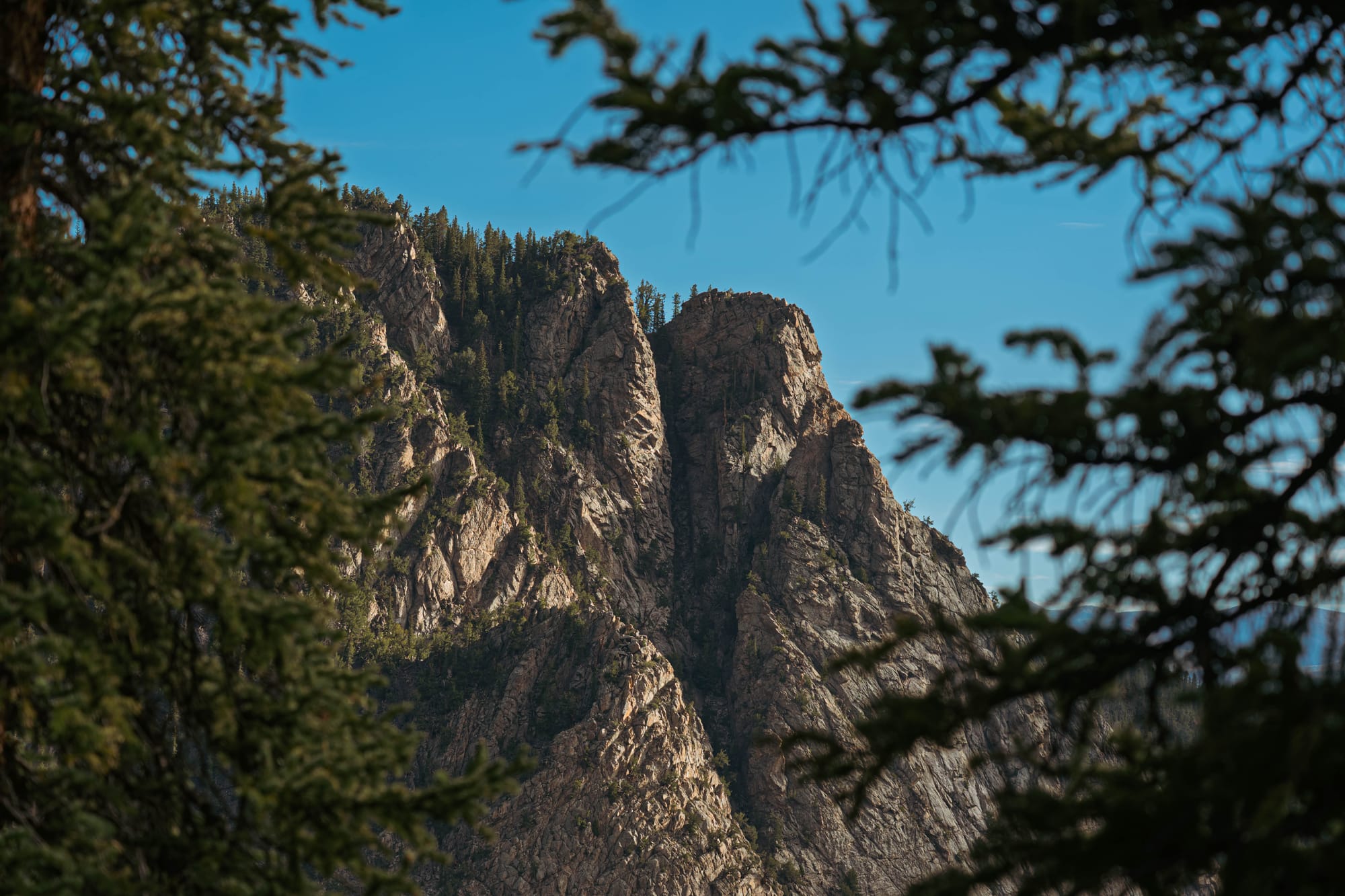
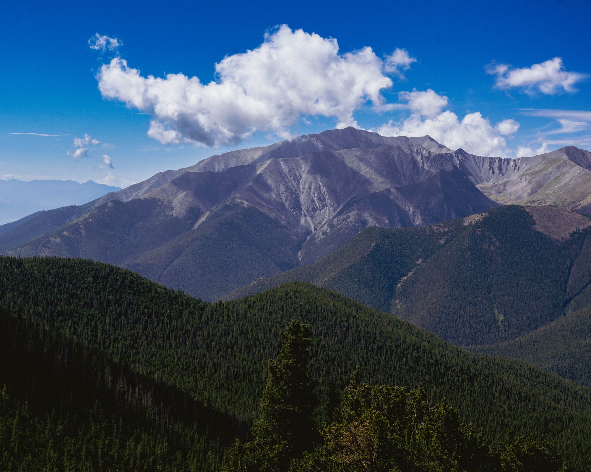
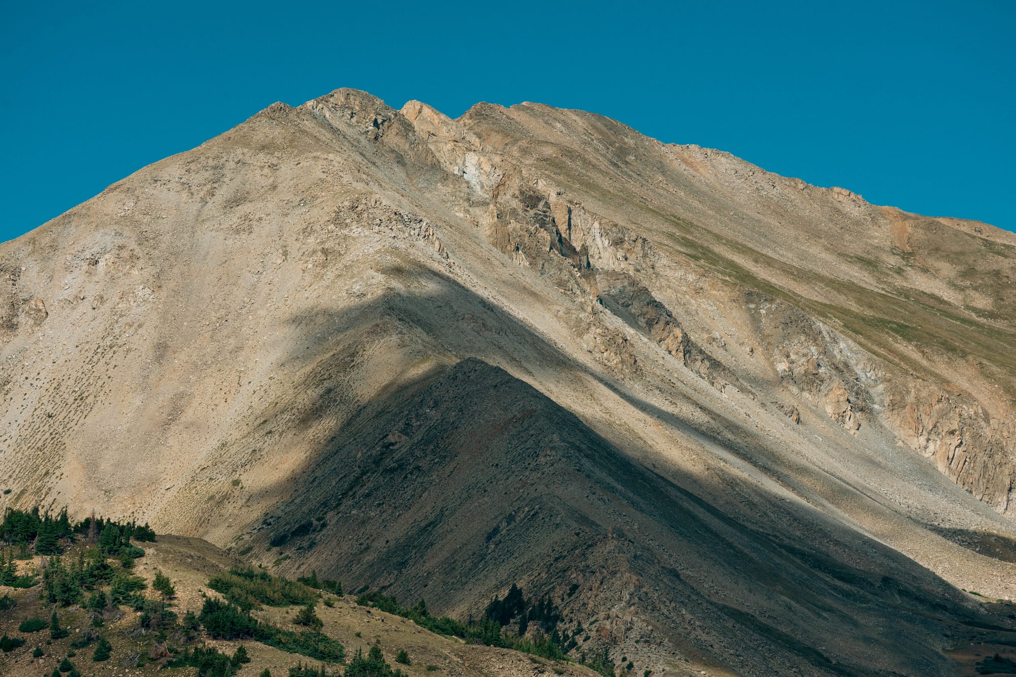
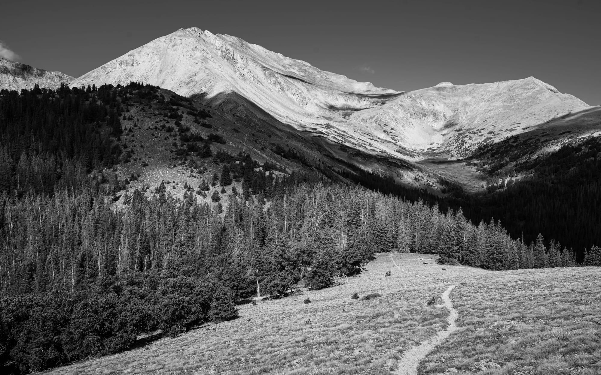
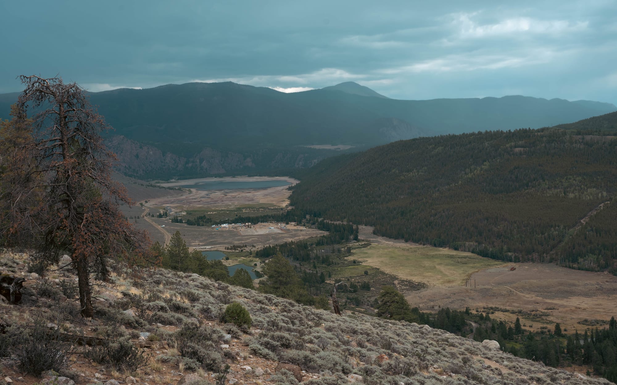
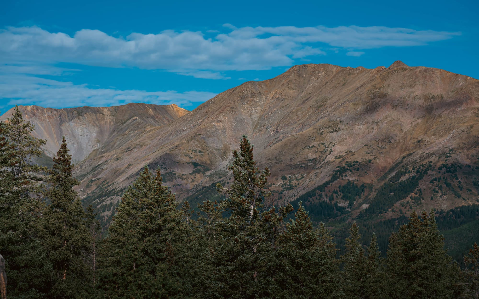
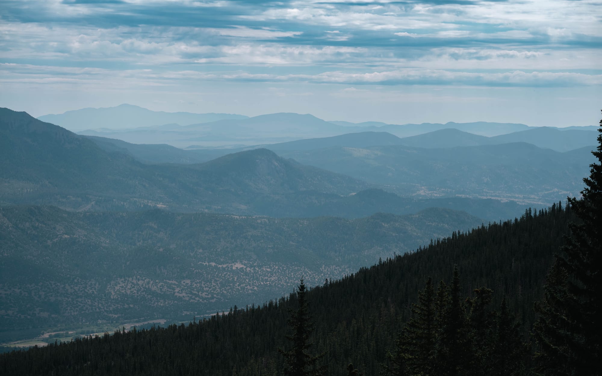
Near the Mount Yale trail junction, the route reached an open bald with broad views in every direction. We did not leave the CT to climb Yale, but the clearing gave us one of the few places where we could see the surrounding peaks, forested ridges, and valleys at the same time.
It became one of my main photography stops on Collegiate East.
Most of the route soon returned to the forest.
The contrast made the open sections stand out, but it also confirmed how little of the East offered sustained mountain views. The nearby fourteeners were often present without being visible.
🎒 On the Trail
- Daily mileage: 14.30–16.98 miles
- Average mileage: 15.21 miles
- Highest climbing day: 4,587 feet
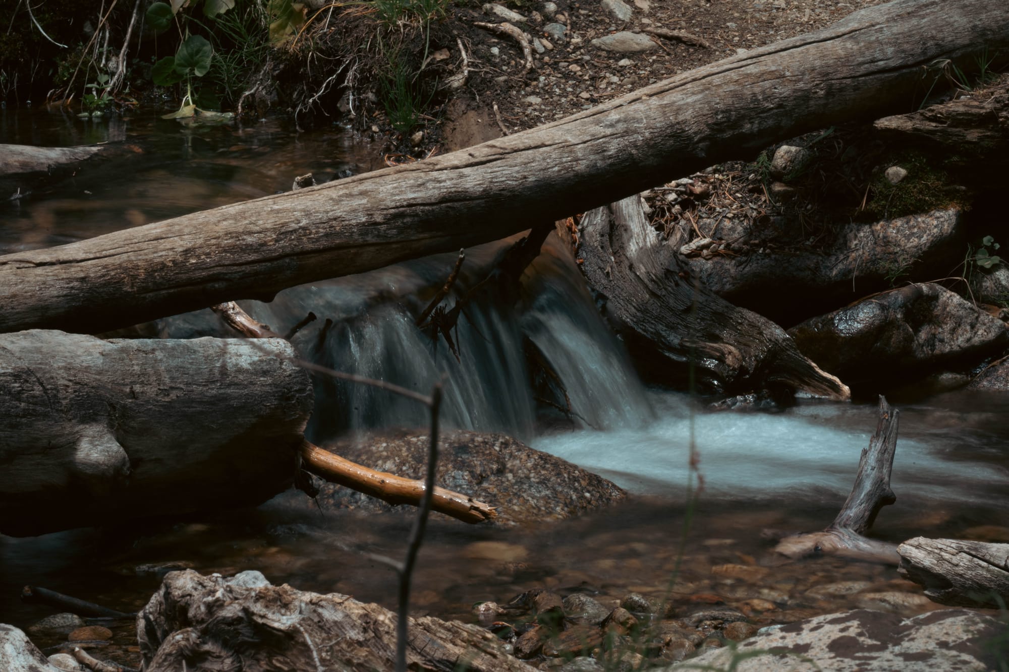
- Water: Frequent
- Camping: Primarily forested
- Weather: Two mostly dry days · repeated rain during the final three
- Trail character: Pine · aspen · burned forest · dead forest · fallen timber
A Forest in Distinct Blocks
The repeated changes in forest type became the defining feature of the section.
Aspen stands were brighter and more open beneath the canopy. The pine sections were darker, denser, and more enclosed. Burned areas opened the sky but replaced living forest with blackened trunks and exposed ground.
In other places, the trees were dead but still standing. Farther along, whole sections had fallen.
The variety kept the forest from being completely uniform, but it did not change the larger experience. We remained inside the trees for most of five days.
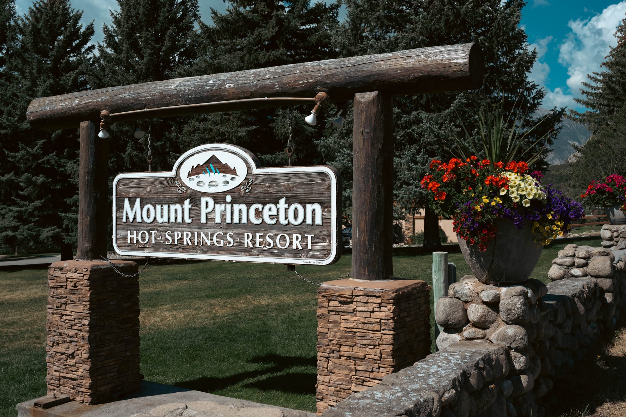
There were also several road crossings and short transitions near developed areas. The most noticeable was around Mount Princeton Hot Springs, where the route felt less remote before returning to the forest. The official East alignment passes Cottonwood Hot Springs, Mount Princeton Hot Springs, and the Chalk Cliffs as it moves south through Segments 13 and 14.
The trail remained physically worthwhile. The tread was generally good, water was rarely a concern, and the climbs kept the days from feeling easy.
What it lacked was a strong sense of progression through the landscape.
The forest changed, but the broader view often did not.
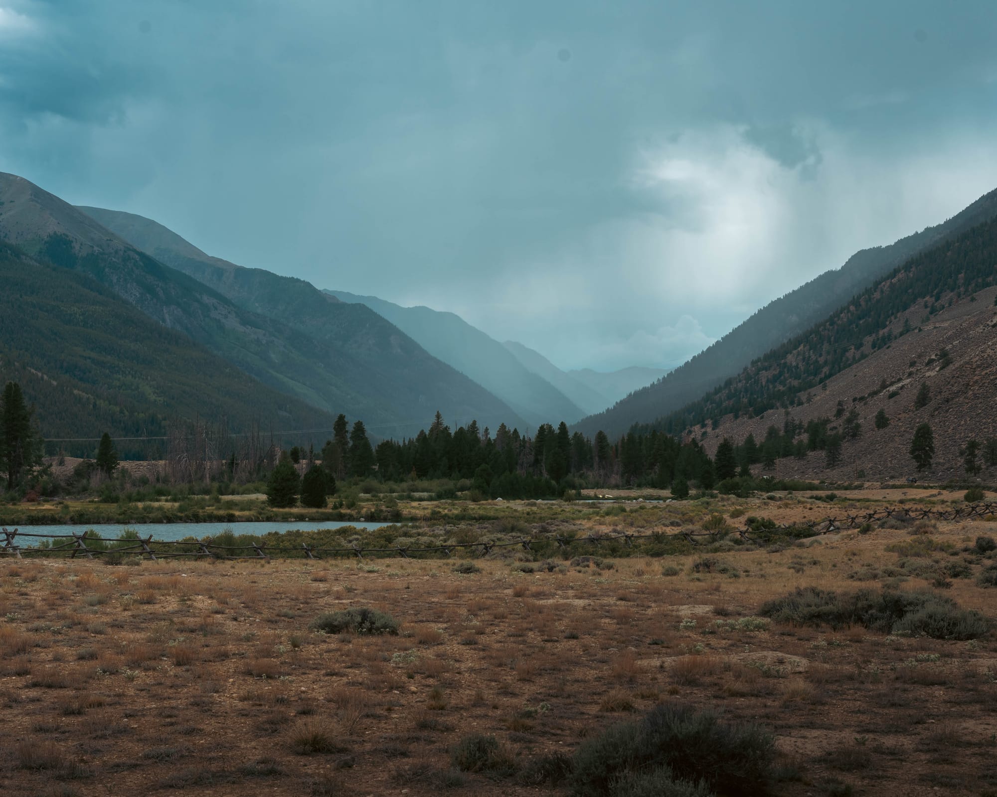
Rain and Camp Rhythm
The first two days brought good hiking weather.
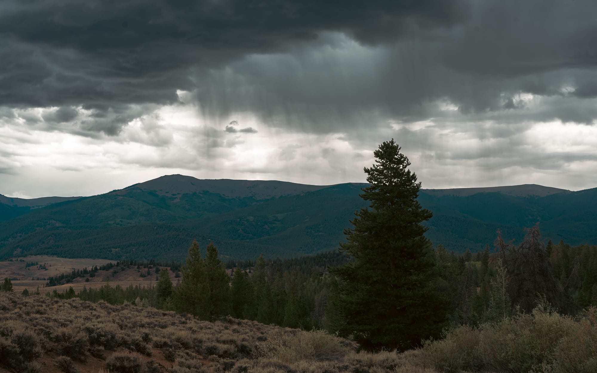
Rain became the pattern during the final three.
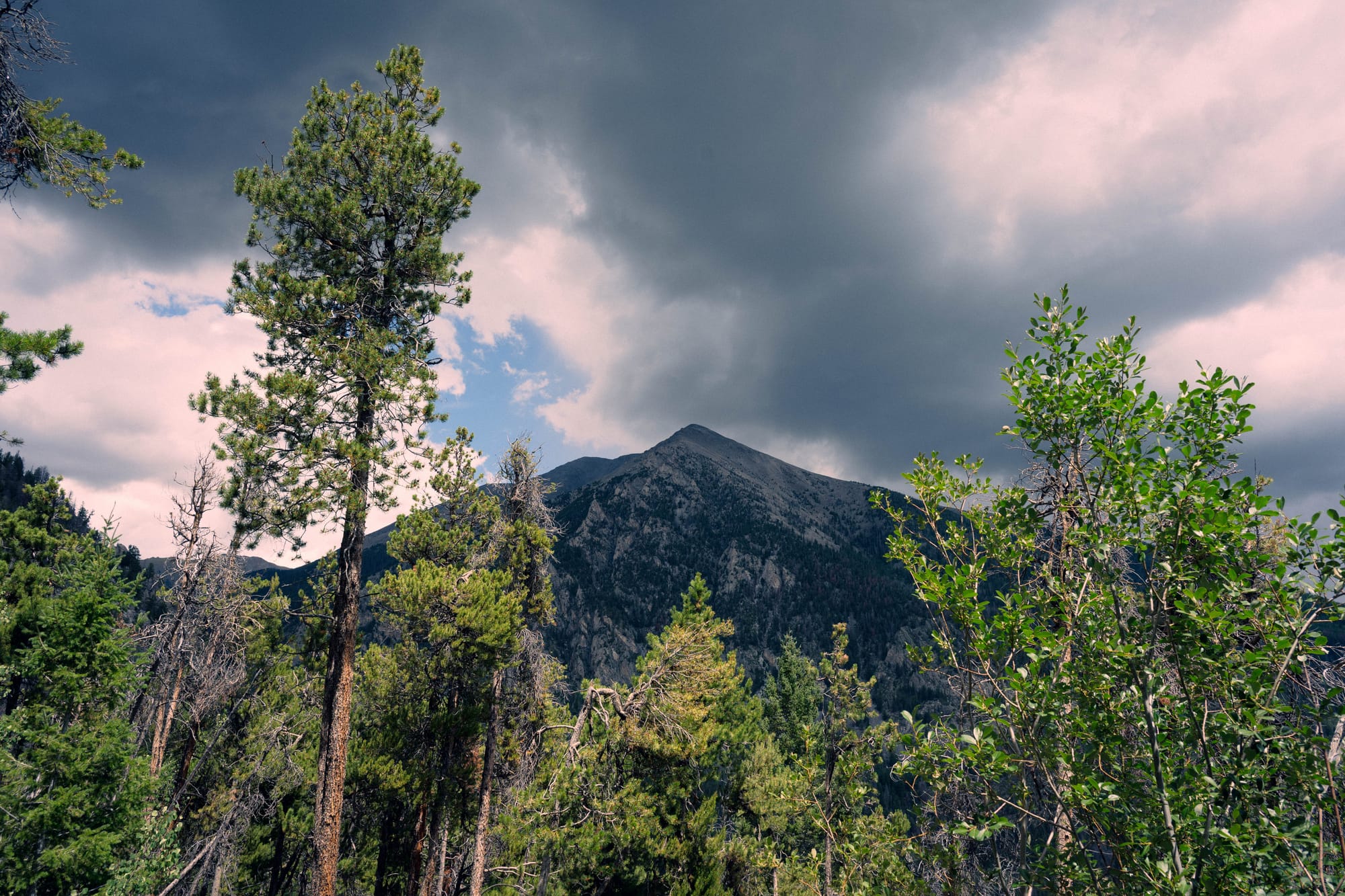
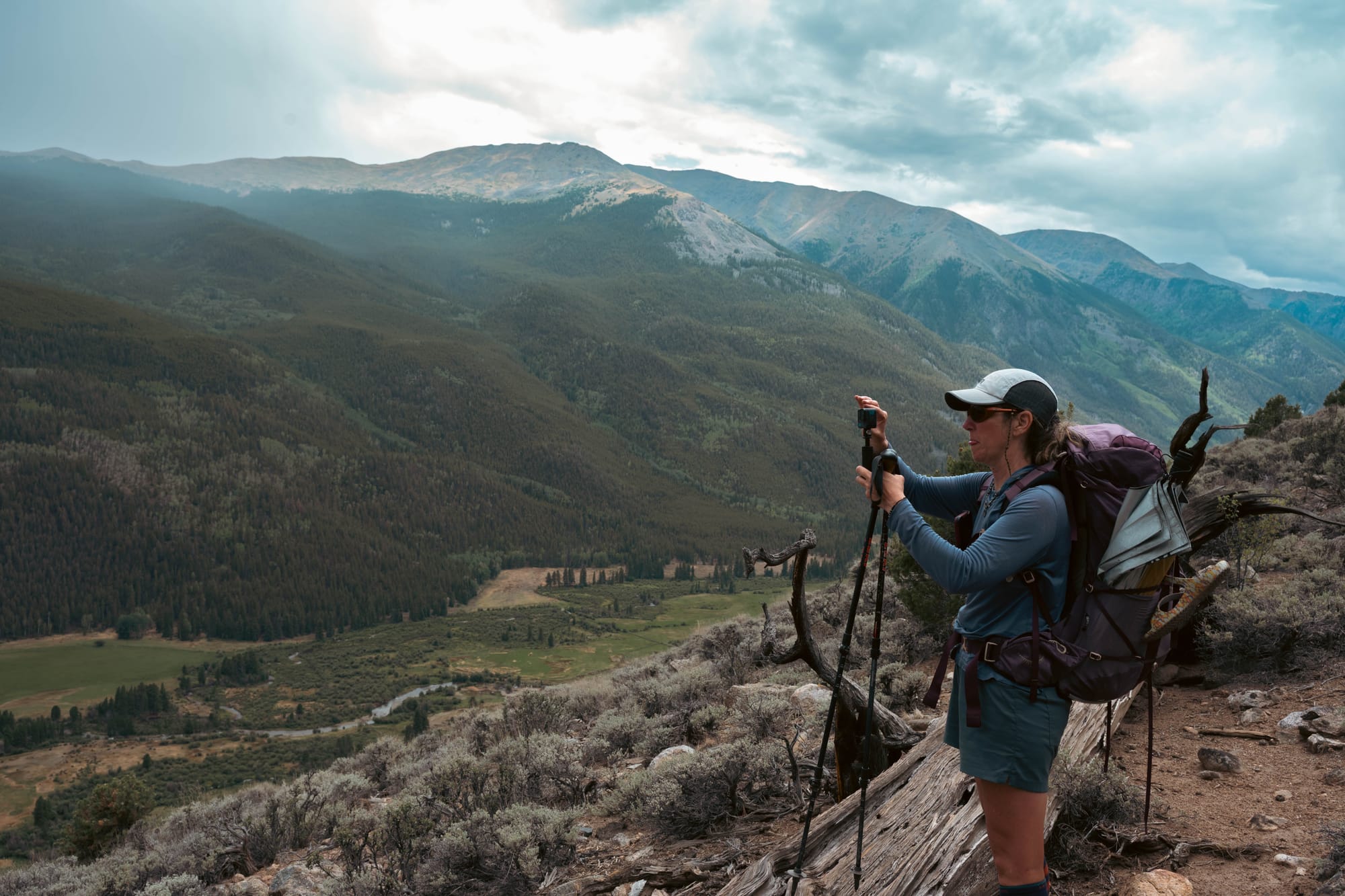
Storms moved through during the day and returned at night. We paid attention to the sky, particularly when the route approached open terrain, and tried to judge whether to continue or wait beneath cover.
We never had a serious problem with lightning or found ourselves trapped on an exposed ridge. Most of the weather was inconvenient rather than dangerous.
We hiked in rain, reached camp in rain, and sometimes woke with a wet shelter to pack.
The Durston kept me and my equipment dry. The problem was the exterior. Packing wet fabric added weight and meant looking for a dry opening later in the day.
Warm temperatures gave us enough opportunities to stop, spread out the tents, and let the sun do its work. That routine became part of the final days:
Stop. Unpack. Dry. Repack. Continue.
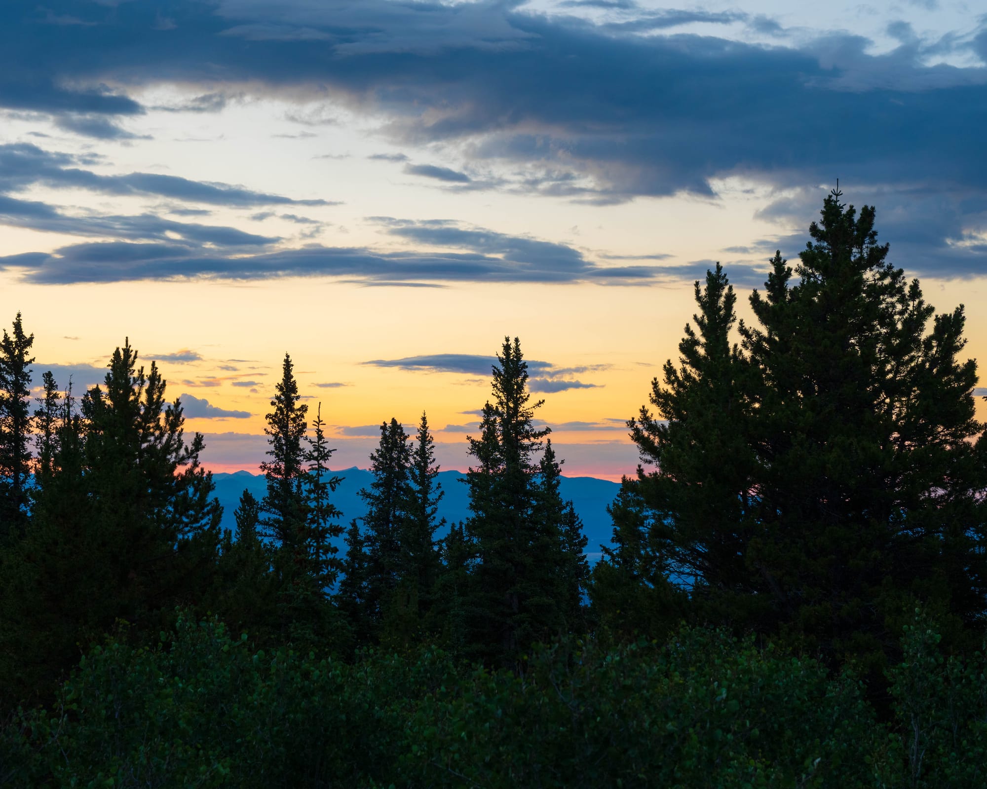
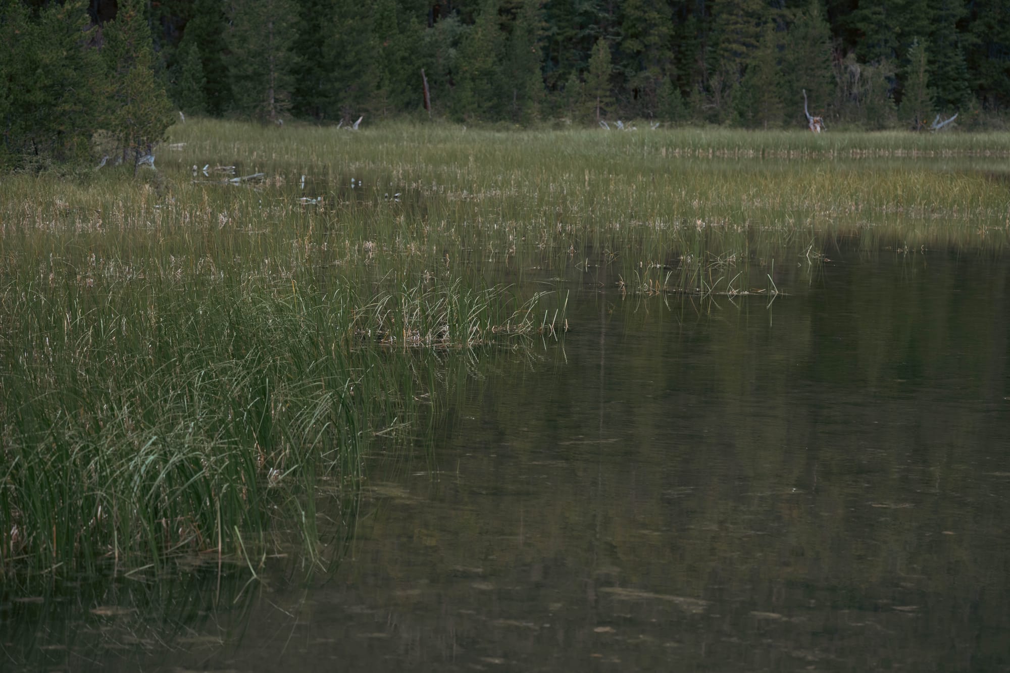
Our camps were functional rather than scenic. We found flat ground near water, set up among the trees, and rarely saw much of a sunset or sunrise. There were no truly bad sites, but none that I would return to for the setting.
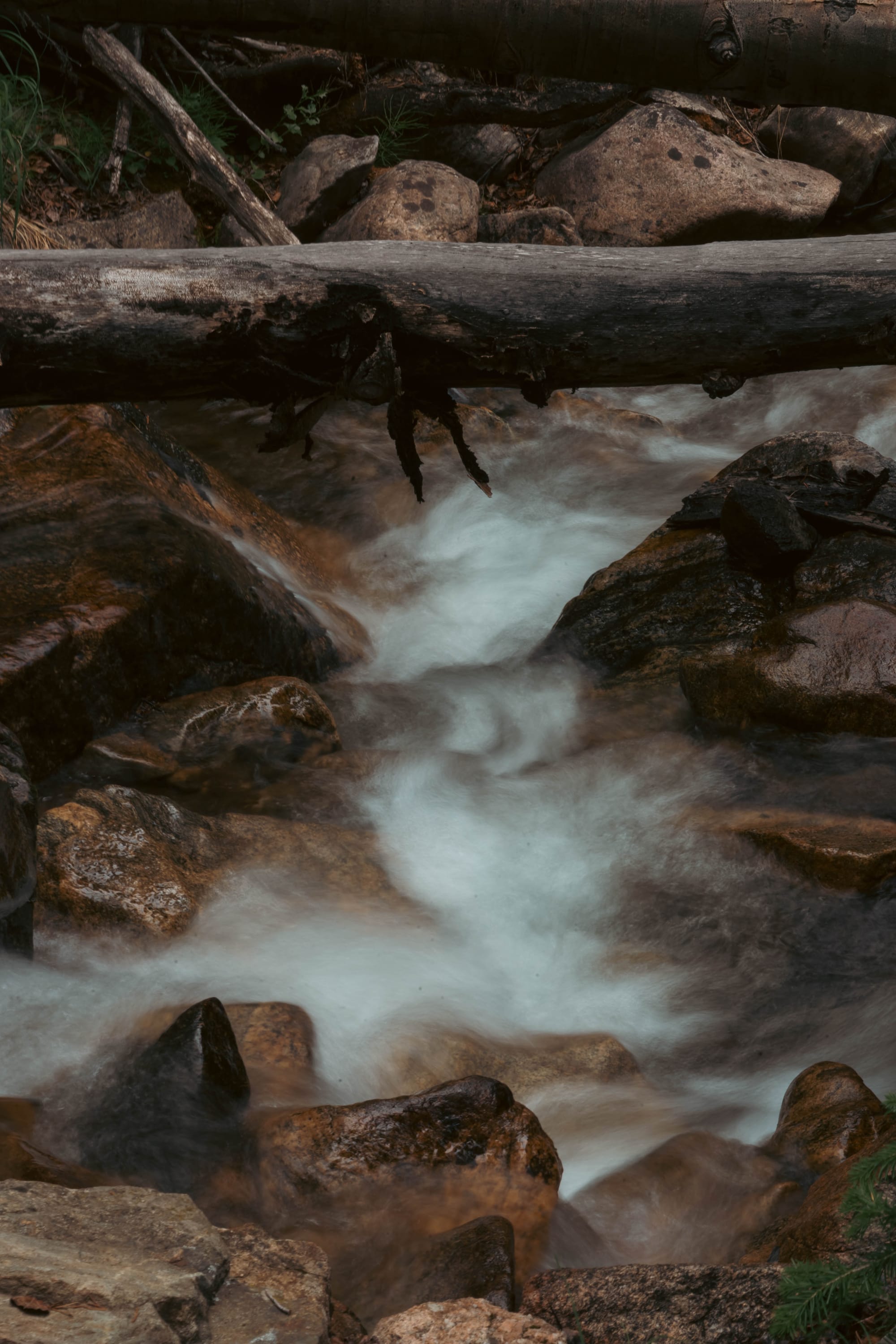
East by the Numbers
| Day | Distance | Elevation gain | Moving time |
|---|---|---|---|
| Day 1 | 15.78 mi | 4,587 ft | 6:14:06 |
| Day 2 | 14.41 mi | 2,162 ft | 5:28:05 |
| Day 3 | 16.98 mi | 4,482 ft | 6:58:29 |
| Day 4 | 14.30 mi | 2,411 ft | 5:01:57 |
| Day 5 | 14.57 mi | 2,346 ft | 5:08:09 |
| Total | 76.04 mi | 15,988 ft | 28:50:46 |
We completed the section in five days, one day faster than our earliest estimate.
The gear worked as expected. The shelter handled the rain, the 50-degree quilt was warm enough, and the water system required little thought because sources were frequent.
The only clear adjustment before the West was carrying less food.
⚡ TL;DR
- Trail highlight: Well-built trail through long stands of aspen and pine with frequent water
- Best for: Shaded hiking, steady mileage, and access to nearby fourteeners
- Hardest part: Repeated climbing with limited open views
- Would I hike it again?: Probably not
Final Takeaway
Collegiate East was good trail.
It offered reliable water, protected camps, solid climbing, and long stretches of healthy aspen and pine. The burned, dead, and fallen forests added some visual change, and the open bald near Mount Yale gave us one of the strongest views of the section.
But most of the route remained below treeline, and the few open views had to carry a lot of weight.
After hiking Collegiate West, I would not choose the East as a standalone backpacking route. I also would not hike it again simply to repeat the full loop.
It served its purpose. We covered the eastern side of the Sawatch, settled back into hiking together, and finished the first half in five days.
Once was enough.