Massacre Rocks State Park
Massacre Rocks was not a park we knew much about before booking it.
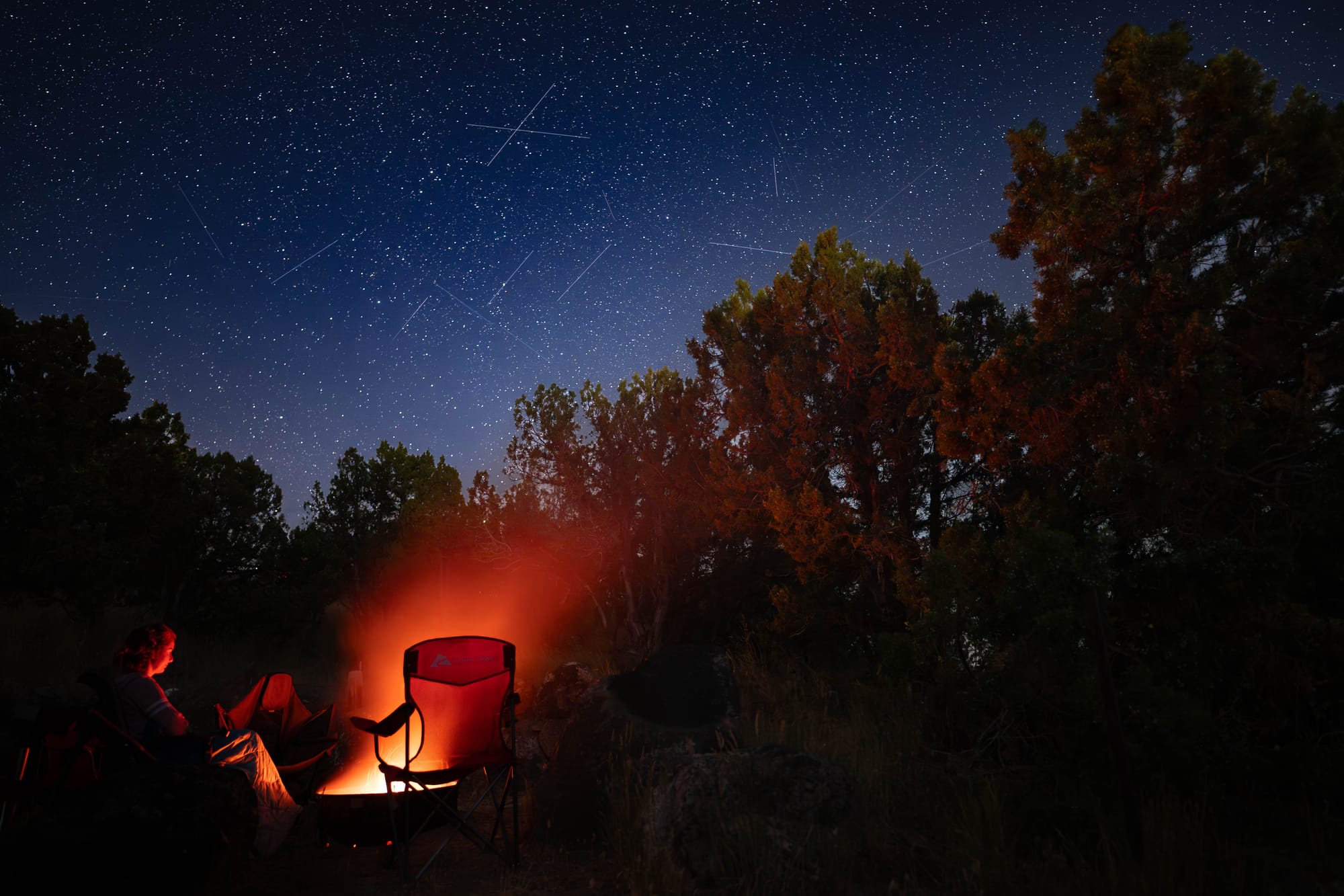
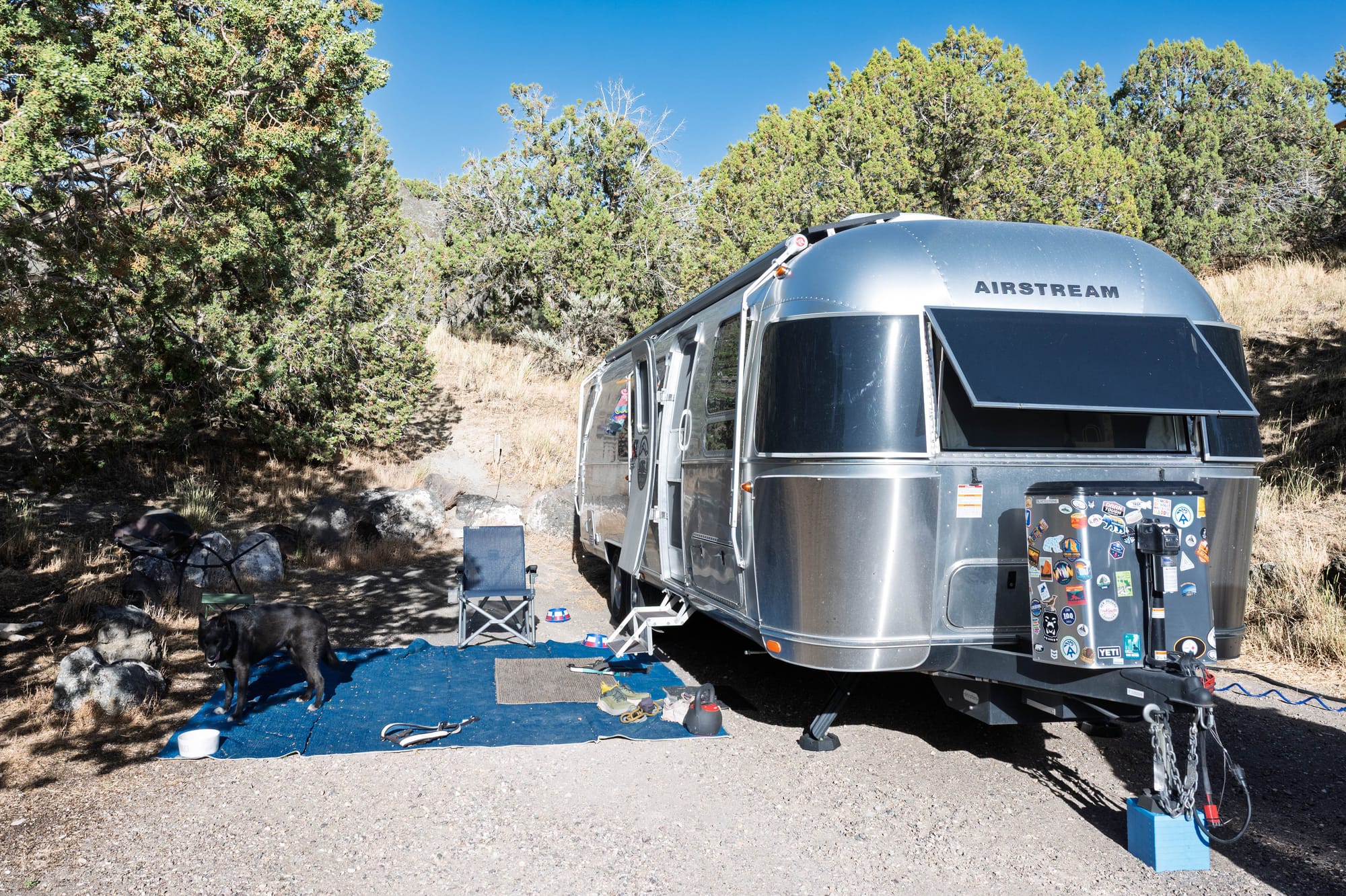
We came in from Bear Lake and settled into the lower loop for six nights. Yvonne and Dave were still with us for the first half of the stay, so the weekend had more family rhythm than our usual campground routine. We walked some trails, spent time near the river, and used the park as a base for a day trip toward Twin Falls.
The surprise was the history.
We knew we were stopping along the Snake River. We did not realize we were also camping along the Oregon Trail corridor, Register Rock, and one of the more ominous place names from the trail.
The landscape changed too.
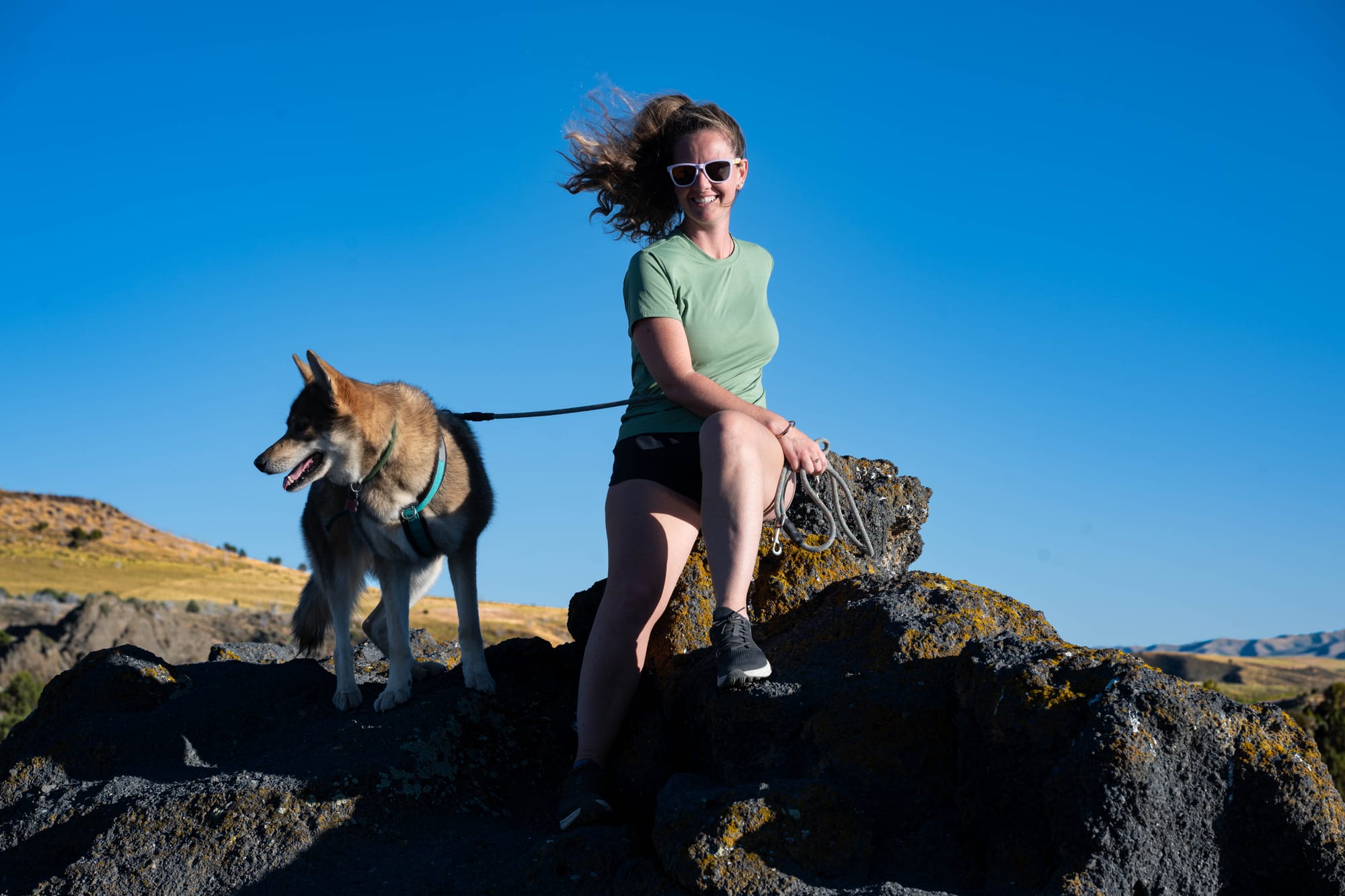
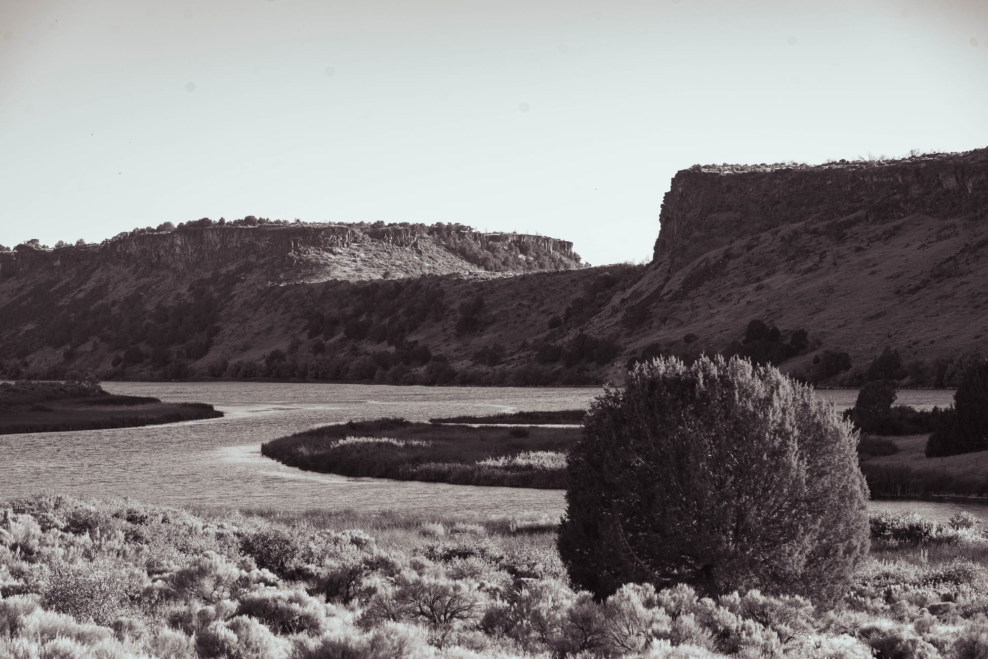
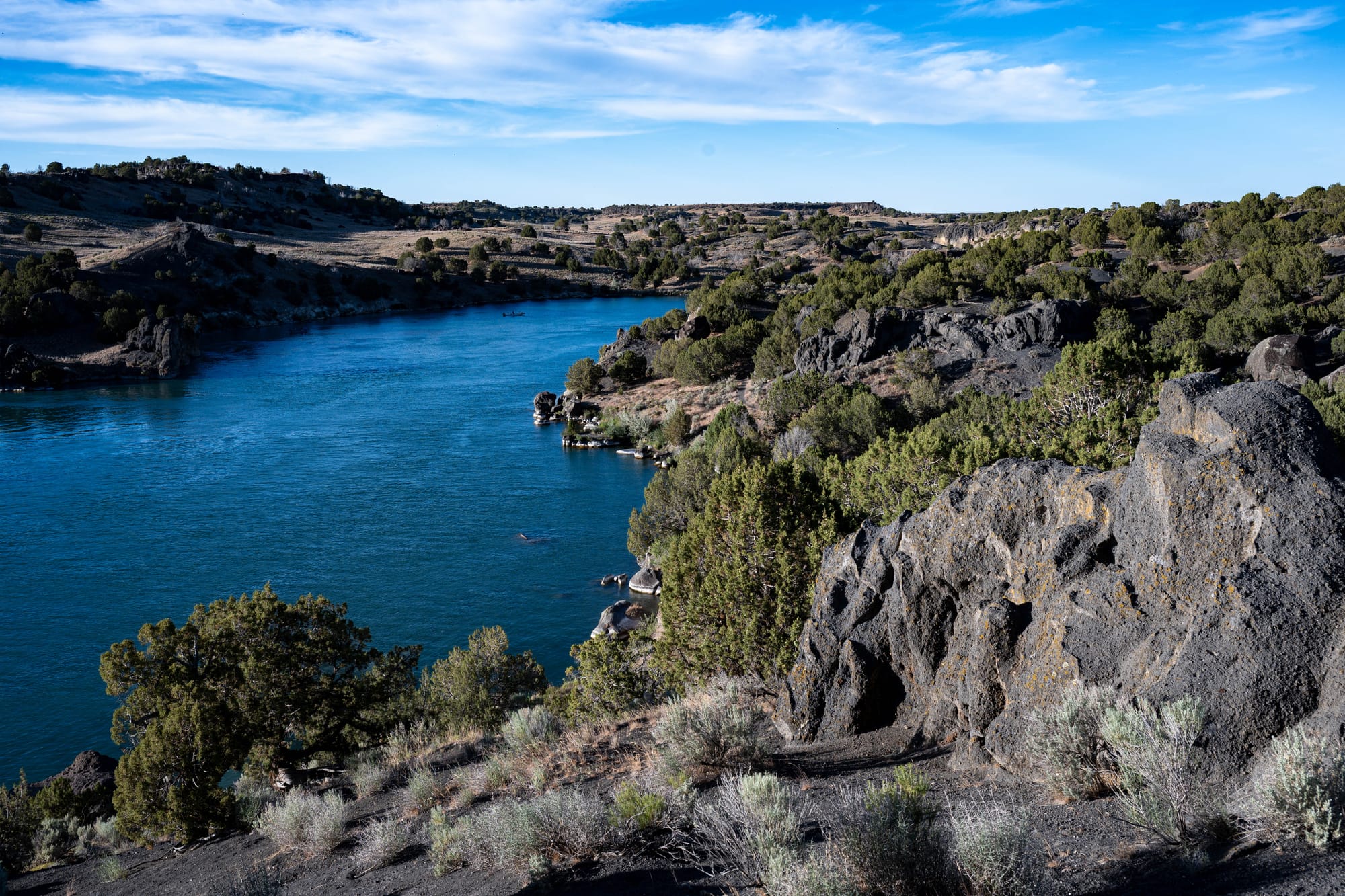
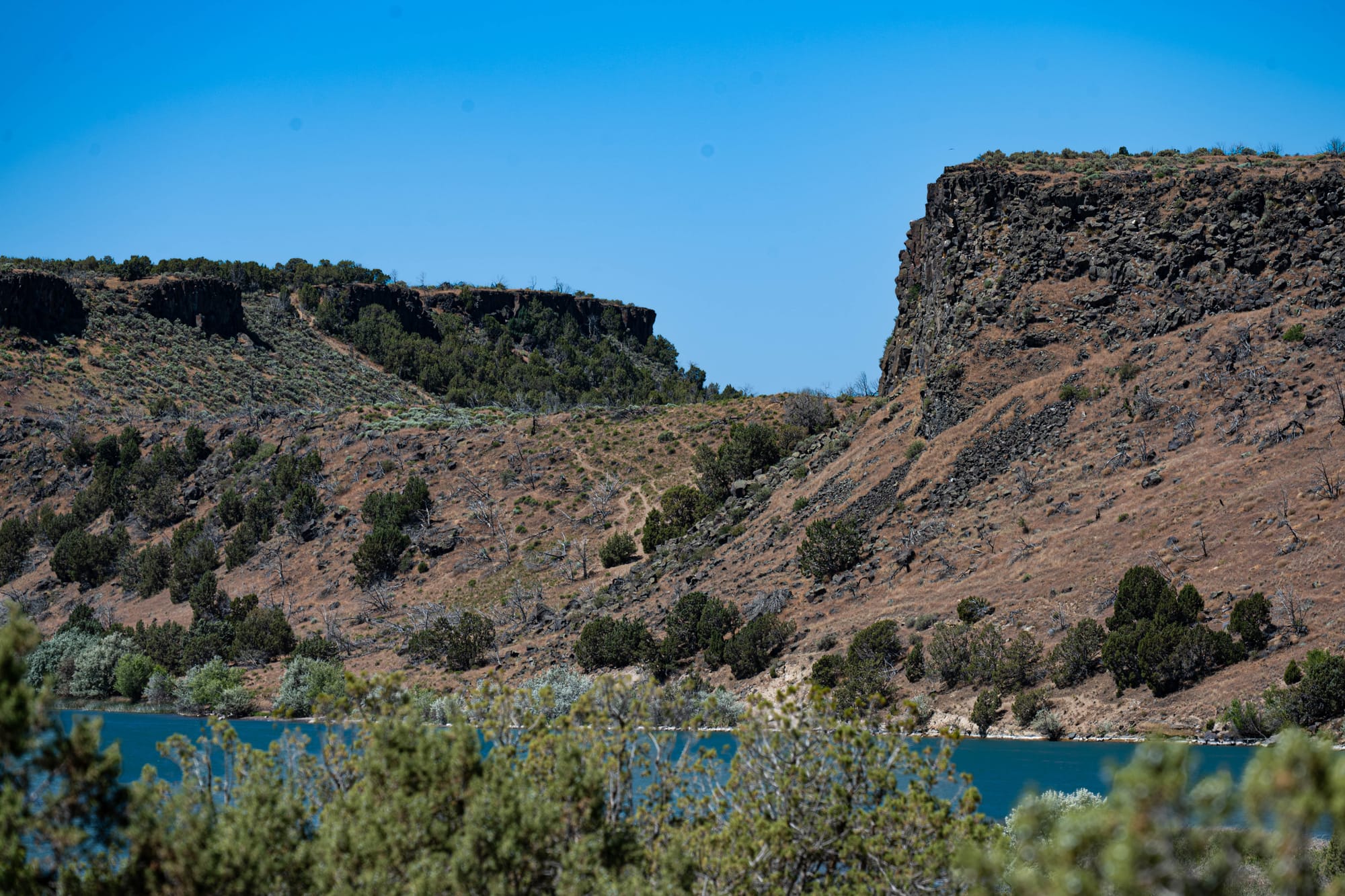
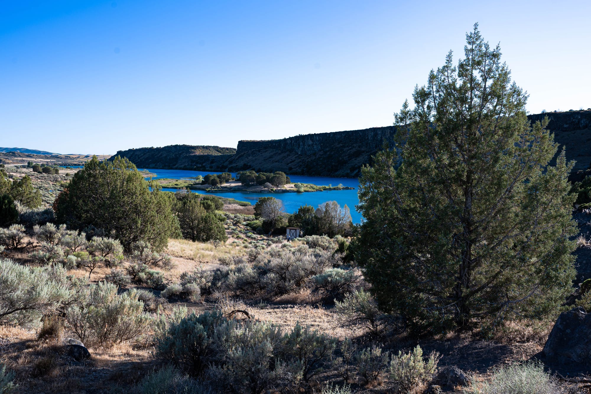
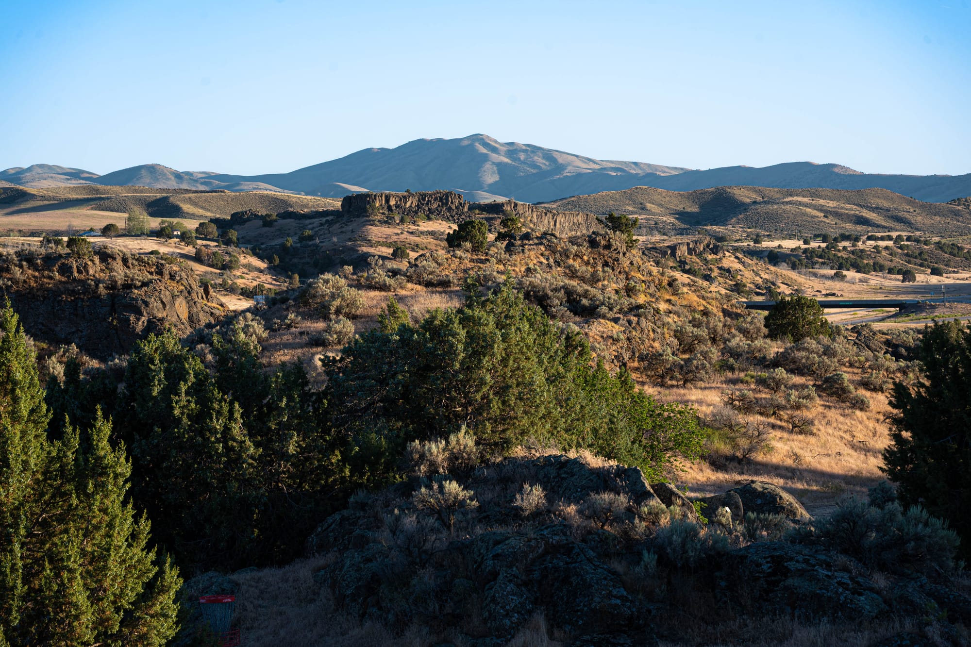
After weeks of sandstone, shale, cliffs, and desert layers across Utah, Massacre Rocks moved us into volcanic Idaho. The park had basalt, sagebrush, wind, river bends, and boulders that looked nothing like the rock we had been seeing farther south.
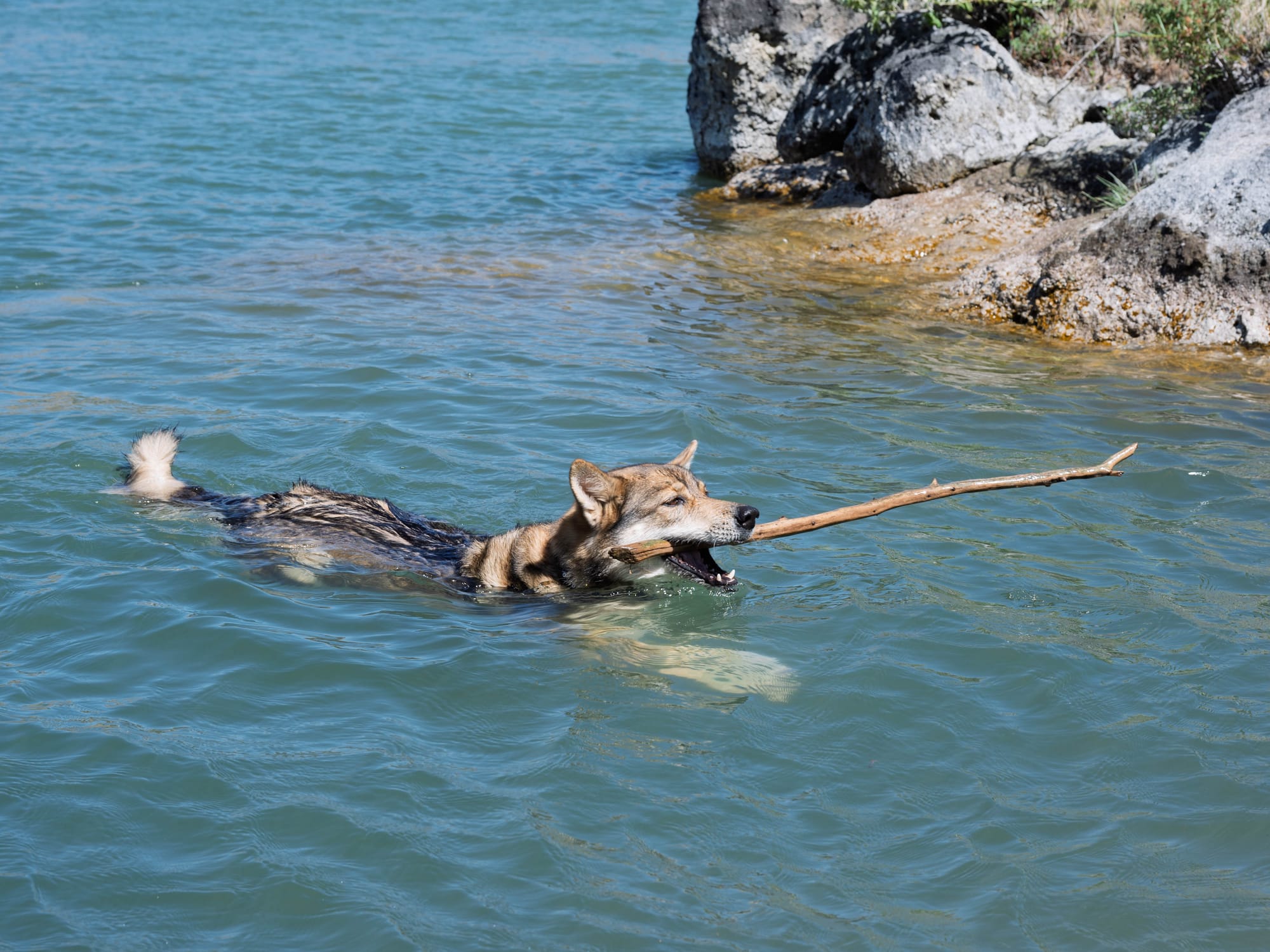
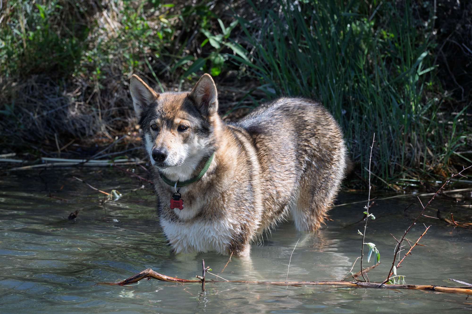
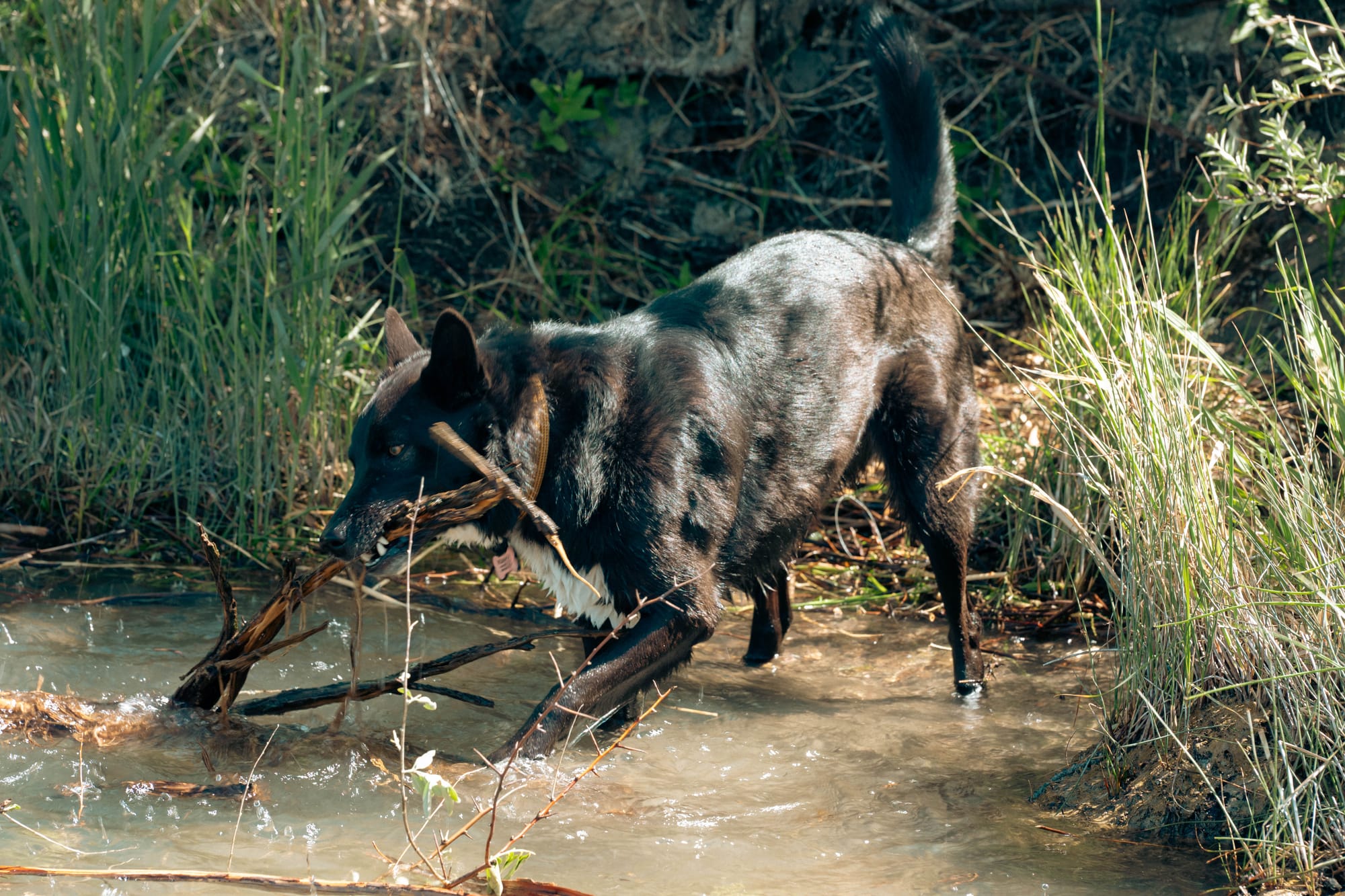
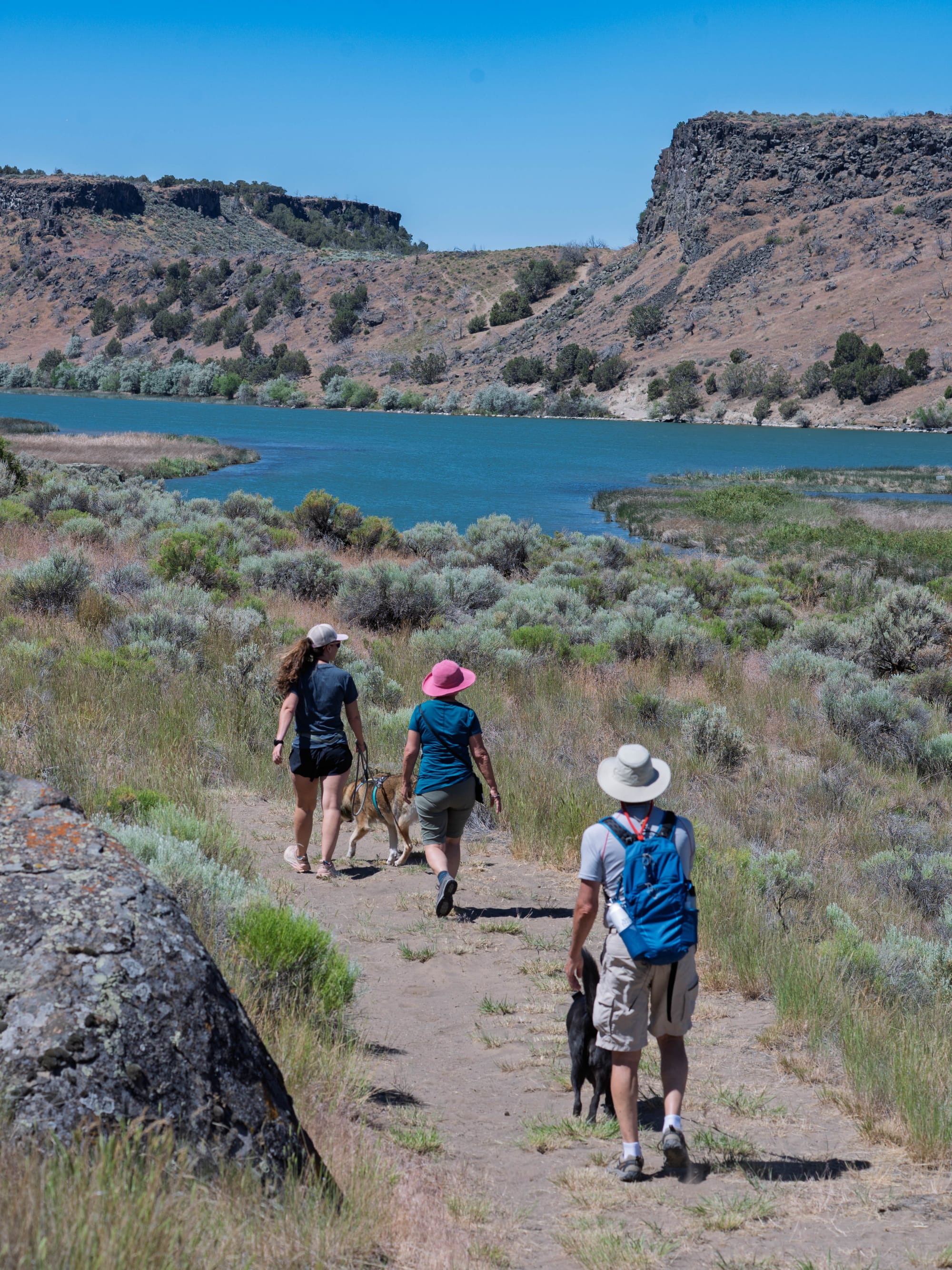
Most mornings, the dogs got their part of the park. We took them down to the river’s edge, where they could splash, swim, get wet, and dry out before the day warmed up.
🗺️ The Lay of the Land
- Location: American Falls, Idaho · 42.6710, -112.9946 · [Google Maps]
- Official site: Massacre Rocks State Park
- Landscape: Snake River · volcanic rock · sagebrush · Oregon Trail corridor
- Vibe: private campground pockets, river access, Oregon Trail history, and unexpected geology
- Our stay & conditions: June 12–18, 2026 · 6 nights · warm, dry, breezy, and toasty by afternoon
🏕️ Camp Setup
- Site types: RV sites · tent sites · cabins
- Arrival & setup: Easy
- Hookups: 💧 / ⚡ | 🧻
- Connectivity: 📶 AT&T 🟢 | 📶 Verizon 🟢 | 📶 T-Mobile 🟢 | 📡 Starlink ⟂ | 📶 Park Wi-Fi ⟂
- Facilities: Restrooms · Showers · Dump · Trail access · River access
Legend:
🚽 = sewer at site · 🧻 = dump station
🟢 = solid for work · ⚠️ = usable with limits · ❌ = unusable
Park Highlights
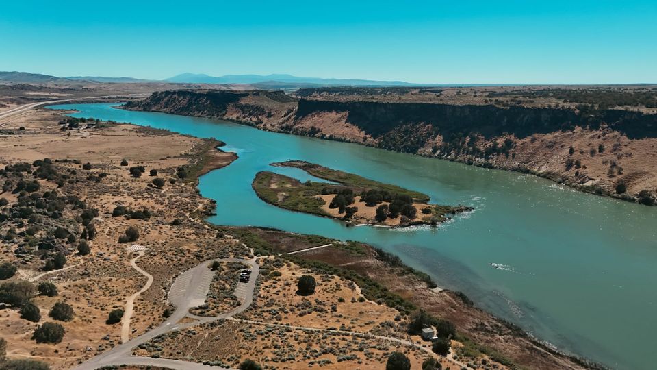
Massacre Rocks sits along the Snake River in southeastern Idaho, just west of American Falls. The park is small, but the history is not.
The Oregon and California trails passed through this section of the Snake River Plain, where emigrants had to move through a narrow gap between large rock formations. That passage became known as Devil’s Gate or Gate of Death. The name Massacre Rocks came from the same trail-era fear: a confined route, limited visibility, and the possibility of ambush.
There was also a real skirmish tied to the name.
In August 1862, emigrant wagon parties and Shoshone people clashed east of the rocks. Accounts vary, but one commonly cited version describes an August 10 attack that killed nine men and wounded six. The important detail is that the fighting happened east of the park, not inside the rock gap itself. The name stuck because the rocks became associated with that danger, even though the geography and the story do not line up as neatly as the name suggests.
The park does a good job separating the name from the shorthand version of the story. The rocks mattered because of how they shaped movement through the area. The skirmish mattered because it gave the danger a real event to attach to. Together, they turned this section of trail into one of the remembered trouble spots for emigrants moving west.
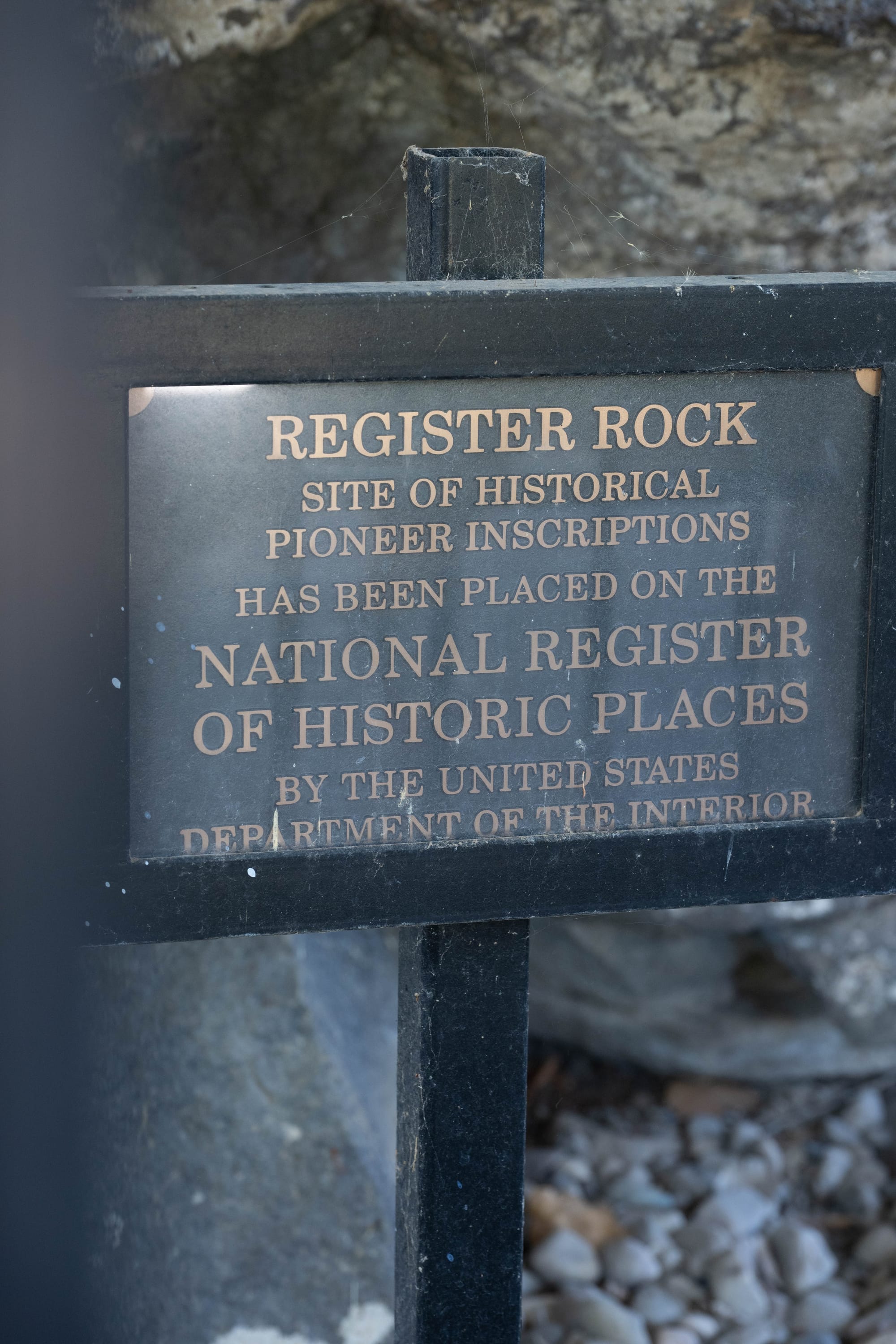
Register Rock gives the history a different scale.
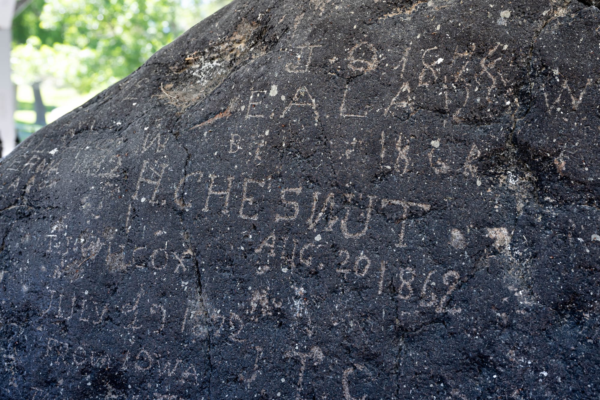
The site was used as a camp along the Oregon and California trails, and emigrants carved names and dates into the basalt. After reading about wagon parties and trail corridors, seeing individual names in stone brings the history back down to people who stopped, rested, marked their names, and kept going.
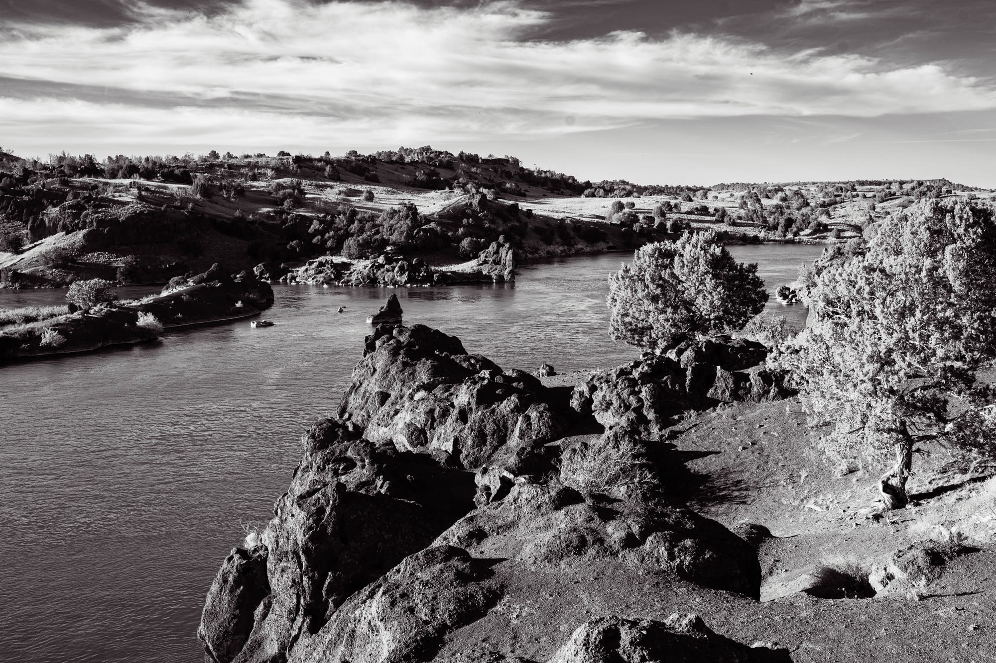
Massacre Rocks is volcanic country. The darker basalt, broken boulders, and river-cut terrain were a clear change from the sedimentary landscapes we had been moving through in Utah. Some of the rock is tied to volcanic activity on the Snake River Plain, and large boulders in the area were also shaped and moved by the Bonneville Flood, the Ice Age flood that surged through the Snake River system.
We noticed chalk on some of the boulders while walking the trails, which gave the park another layer. Alongside Oregon Trail history and river access, there was a small climbing scene tucked into the rocks.
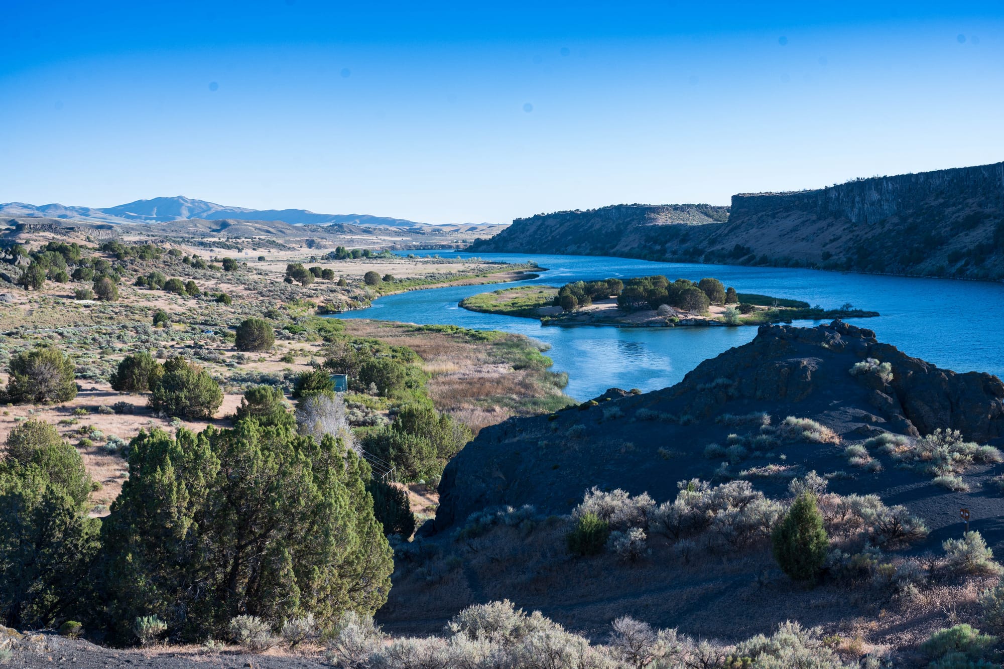
The Snake River keeps the park from feeling dry or static.
It bends below the campground, cutting through the volcanic landscape and giving the trails somewhere to lead. It gave the dogs a daily destination and gave the park a center that was not just historical.
🚴 On the Ground
- Activities available: ● 🥾 Hiking | ● 🚴 Biking | ● 🐕 Dogs | ● 🚣 Paddling | ● 🎣 Fishing | ● 🐦 Birding | ○ 🏊 Swimming | ● 📸 Photography | ● 🏕️ Camp-centric | ● 🧗 Climbing
- Trail mileage available: 🥾 ~7.5 mi. | 🚴 ~7.5 mi. | 🚣 ⟂
- Crowd level: Quiet to steady
Legend: ● = available · ○ = not available


Shoshone Falls and the Snake River Canyon
We used Massacre Rocks as a base for a day trip toward Twin Falls.
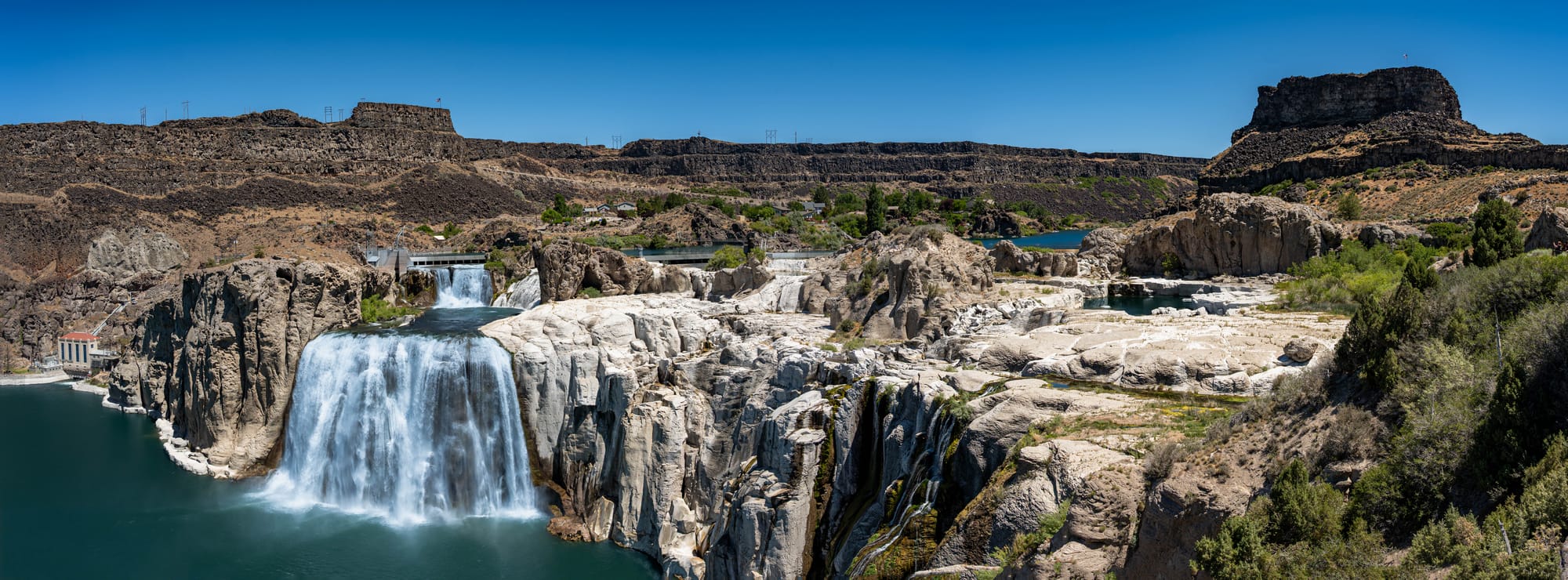
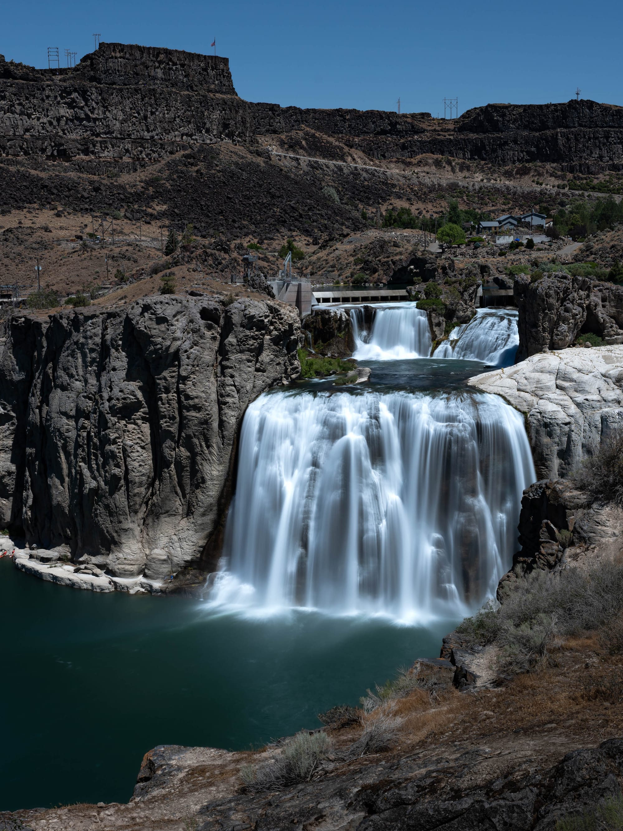
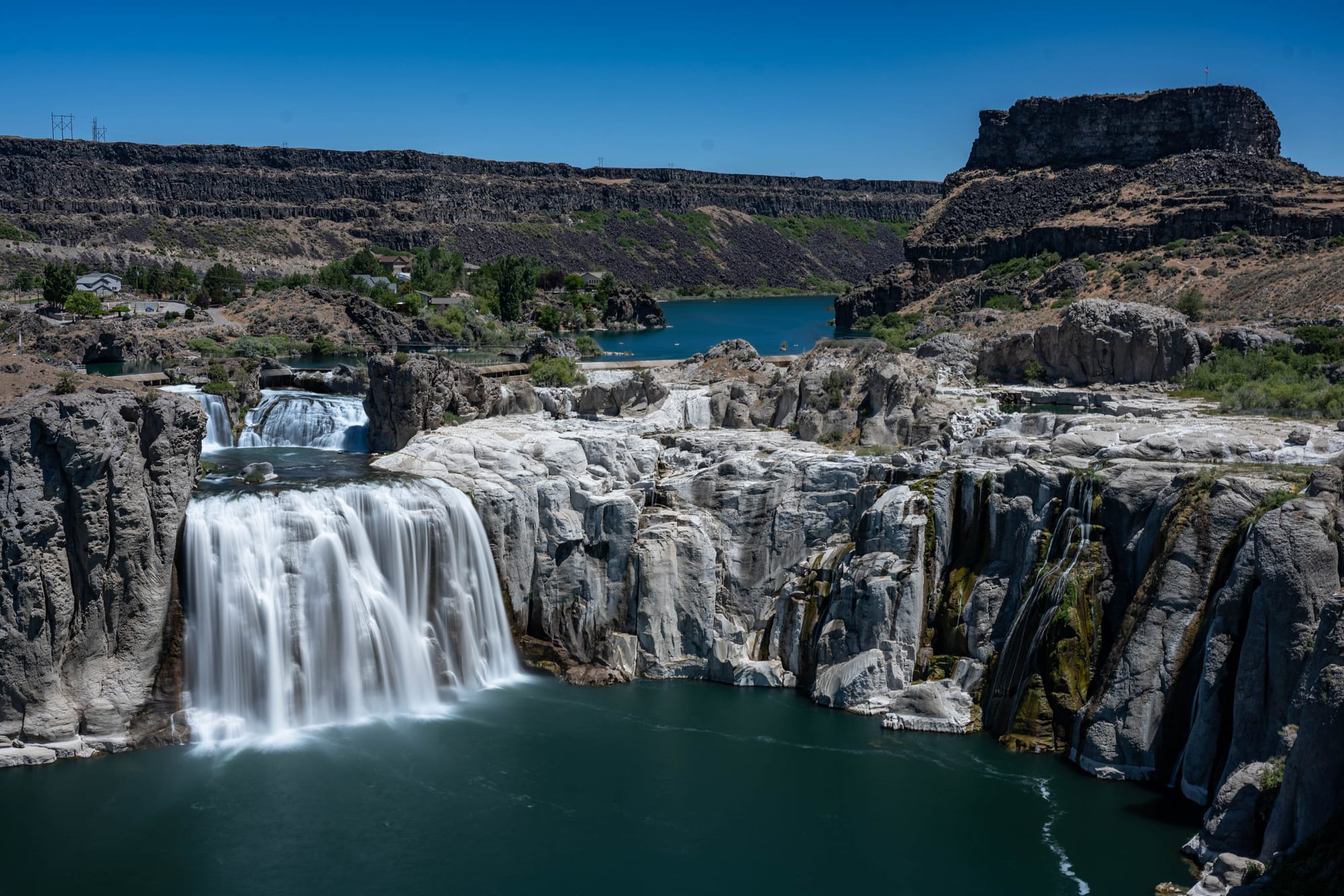
The main stop was Shoshone Falls, where the Snake River drops through a basalt canyon east of town. Often referred to as the "Niagara of the West" the falls are 212 feet tall and 900 feet wide. It is easy to underestimate the size on a map, but the overlook corrects that quickly: canyon walls, exposed rock, river, and a wide drop make for an excellent view.
One of those stops was the Evel Knievel jump site.
In 1974, Knievel attempted to jump the Snake River Canyon in a steam-powered Skycycle. The jump failed when the parachute deployed early, but the ramp is still there. It is strange, very Idaho, and worth seeing if you are already nearby.
Between Shoshone Falls and the jump site, the side trip gave the Massacre Rocks stay a wider frame. The park introduced the Snake River Plain. Twin Falls showed another version of it.
⚡ TL;DR
- Park highlight: Snake River scenery, Oregon Trail history, Register Rock, and volcanic geology in one small state park
- Best for: History stops, river walks, private-feeling campsites, dog-friendly wandering, fishing, disc golf, and a Shoshone Falls day trip
- Skip if: You want a big destination park, long trail mileage, shade everywhere, or a campground without wind
- Worth planning around?: Maybe
Final Takeaways
Massacre Rocks was better than expected.
We booked it as a stop between bigger places, but it held our attention. The lower loop gave us a private-feeling site, the Snake River gave the dogs a daily routine, and the park added more history than we expected from a quick look at the map.
The Oregon Trail pieces were the strongest part: the visitor center, the trail corridor, Register Rock, and the story behind the name.
The geology helped set it apart too. After so much Utah sandstone, Massacre Rocks shifted the route into basalt, volcanic rock, boulders, and the Snake River Plain.
I would not oversell it as a major destination park, but it deserves more than an overnight.
A quiet site, river access, Oregon Trail history, volcanic rock, and an easy Shoshone Falls side trip made it one of the more pleasant surprises of the route.