Appalachian Trail | GA & Southern NC
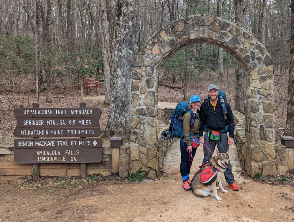
The hike stopped being a plan.
For months, the Appalachian Trail had been spreadsheets, resupply boxes, gear choices, dog logistics, and conversations about what we thought trail life would require. Once we left Amicalola and started moving north, all of that planning became our daily life.
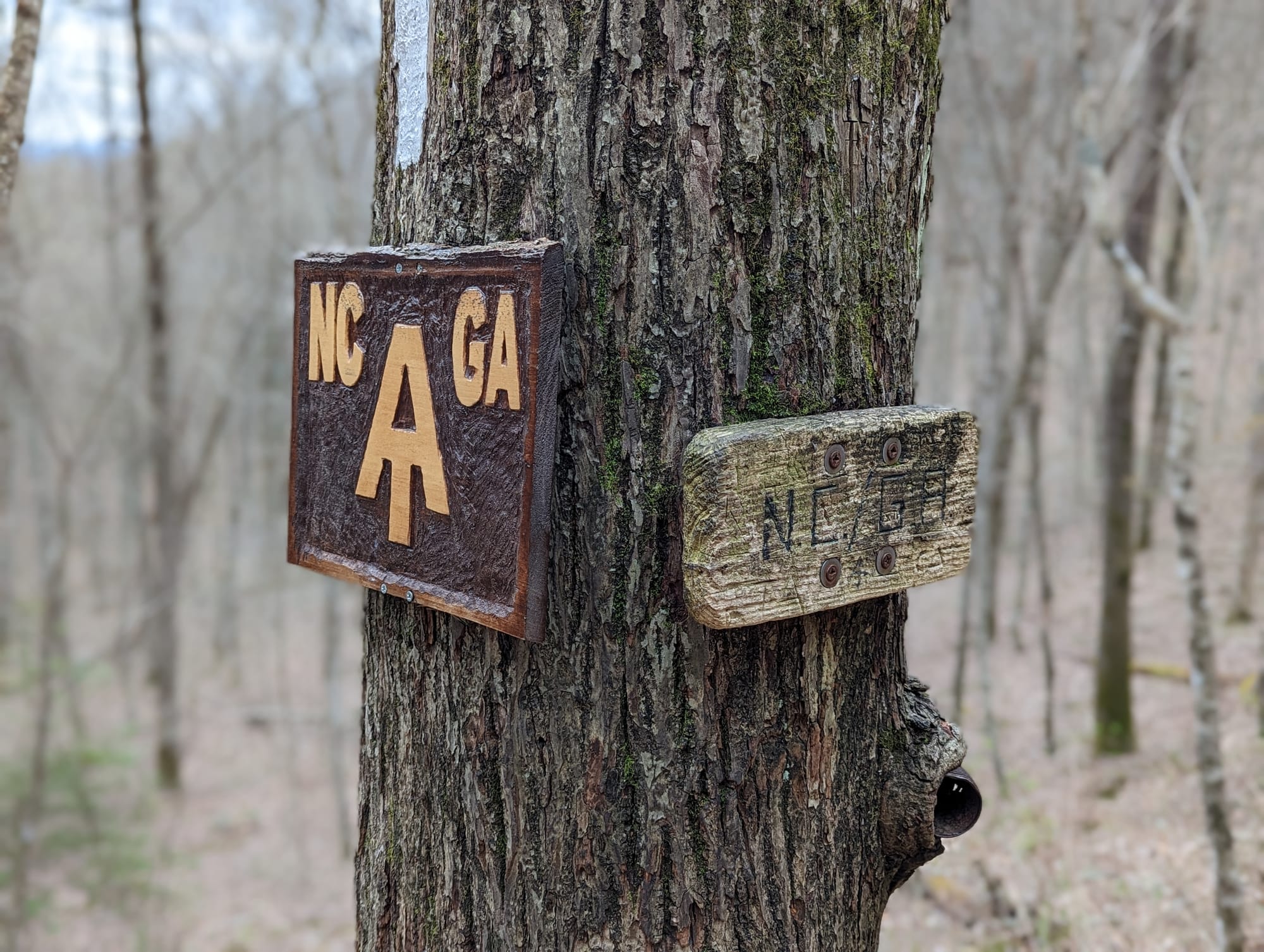
The first stretch was intentionally slow. We were not trying to prove anything in Georgia. Most days were built around short mileage, shelter-to-shelter movement, and enough time in camp to recover, talk with other hikers, and let Akela settle into the rhythm.
That pace mattered. Everyone was still carrying too much. Everyone was still learning their systems. The early trail bubble was full of excitement, uncertainty, and people figuring out what they had packed that they did not actually need.
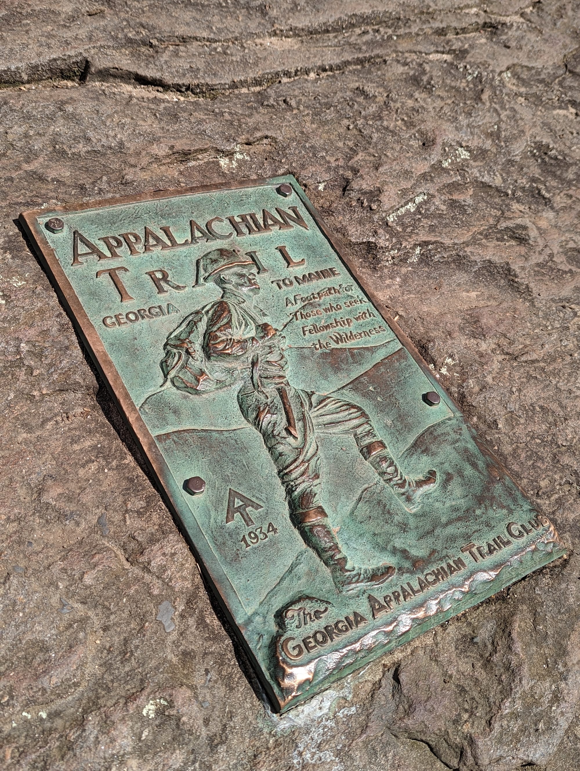
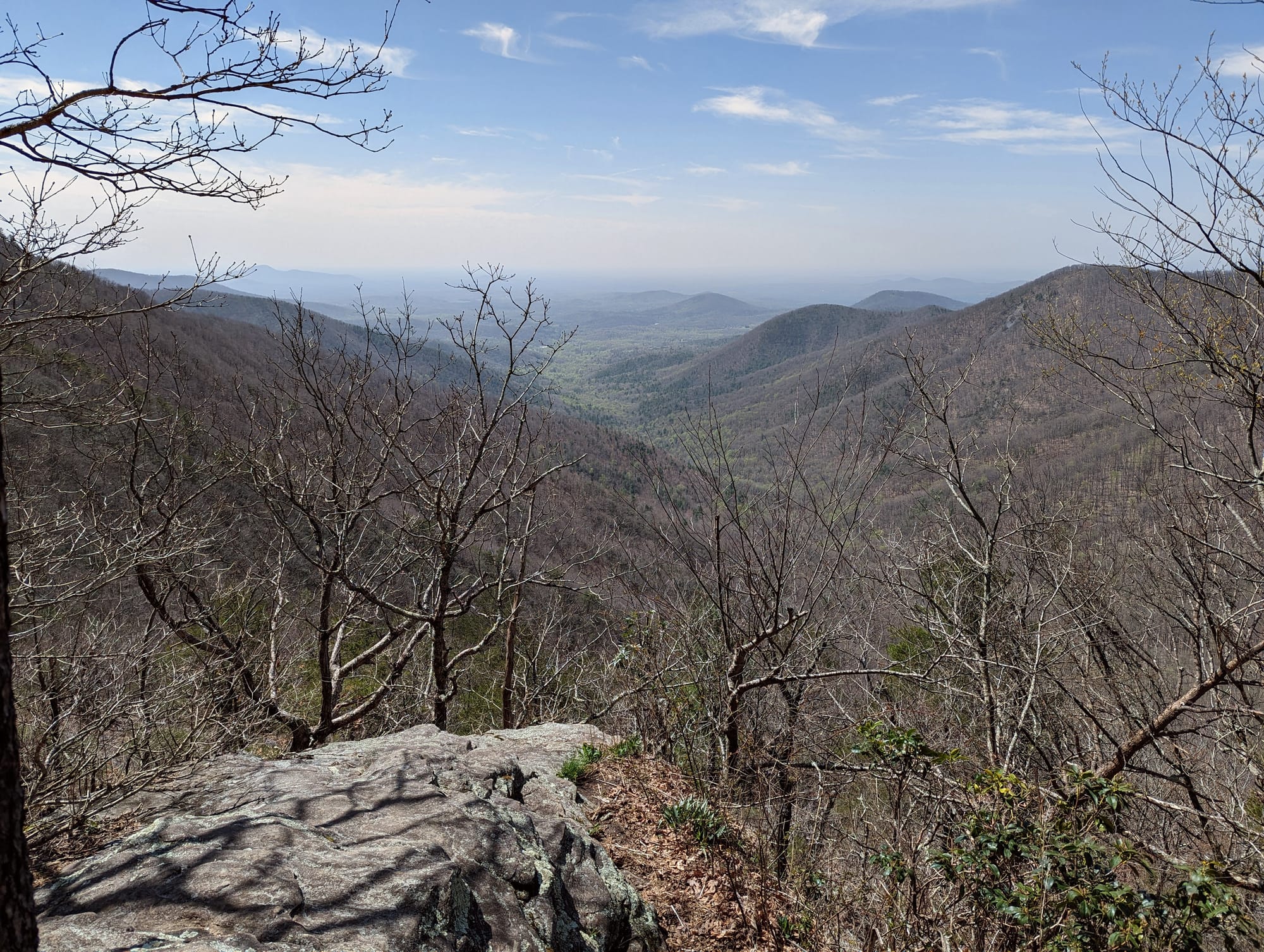
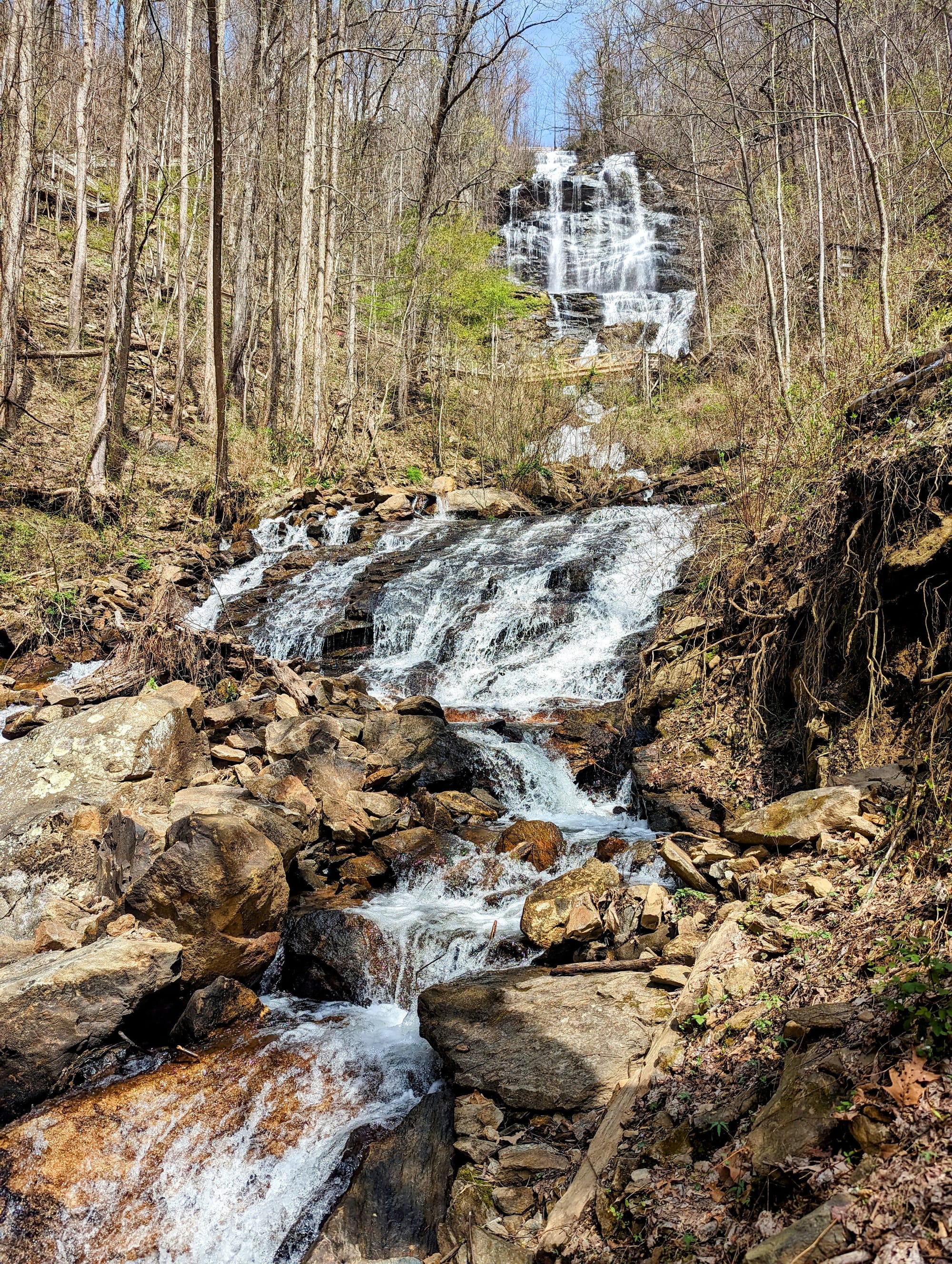
Georgia and Southern North Carolina gave the hike its first shape: steep enough to get your attention, wet enough to test your gear, social enough to feel like a shared beginning, and slow enough to let the routine start forming.
🗺️ The Lay of the Land
- Section: Georgia & Southern North Carolina
- Route: Amicalola Falls State Park to Fontana Dam
- AT miles: 0–166
- States covered: Georgia · North Carolina
- Direction: Northbound
- Landscape: Southern Appalachians · forested ridges
- Terrain: steep climbs · gaps · wet forest
- Section role: the transition from planning to trail life
Regional Notes
The Southern Appalachians do not ease you into a thru-hike as much as they start teaching immediately.
The climbs are not western-big, but they are constant enough. The trail moves by ridge, gap, climb, descent, repeat. On paper, some of the mileage does not look dramatic. With new trail legs, heavy food carries, extra water, and dog accessories, it felt real quickly.
This section also showed the difference between looking at elevation in a spreadsheet and walking it with a full pack. A day did not need to be long to feel difficult. Repeated climbing and descending added up, especially before our bodies understood what the next six months would ask from them.
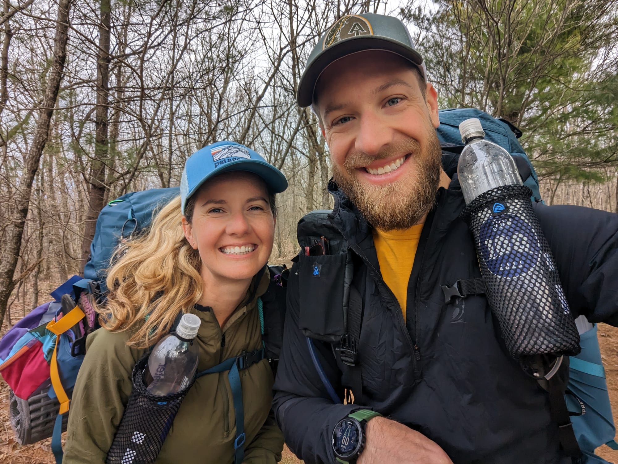
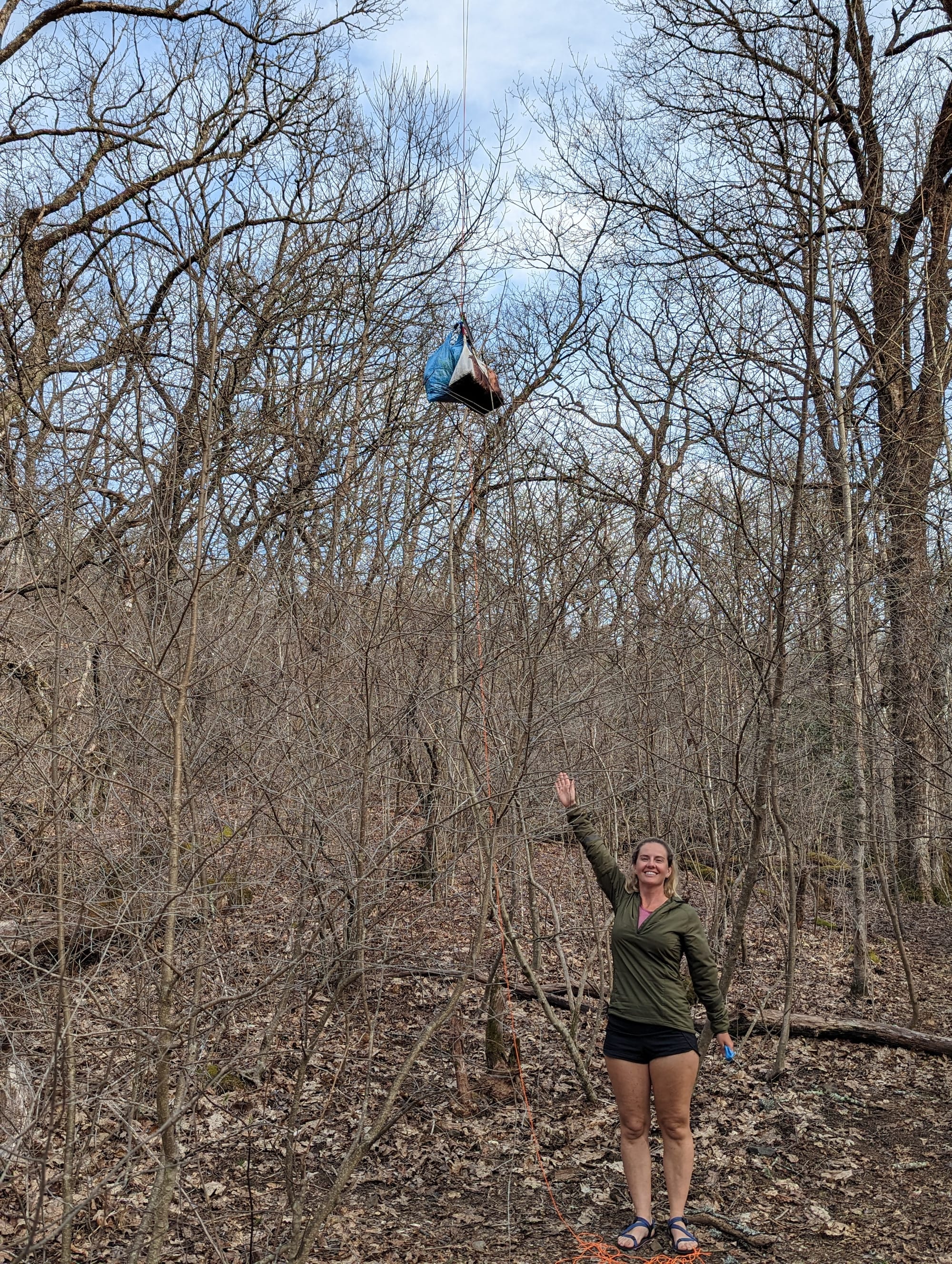
Water was usually available, but we were still learning how much we actually needed to carry. Like a lot of new thru-hikers, we carried too much at first. That was part of the early adjustment. The trail was already giving us the information. We just needed to learn to trust it.
The forest also shaped the experience. Long green ridges, damp mornings, shelters, and crowded campsites made this feel less like wilderness isolation and more like entering a moving community. The land was the constant, but the people were everywhere.
🥾 On the Trail
- Mileage pattern: short early days · gradual ramp-up
- Water: frequent and reliable
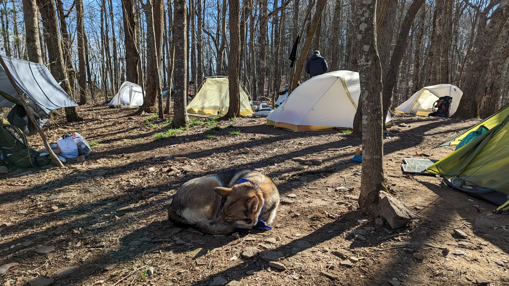
- Shelter rhythm: frequent shelters · crowded early-season bubble
- Trail towns / resupply: Neels Gap · Hiawassee · Franklin · Nantahala Outdoor Center · Fontana Dam
- Crowd level: busy northbound bubble
- Best remembered for: learning how the hike would actually work
Trail Rhythm
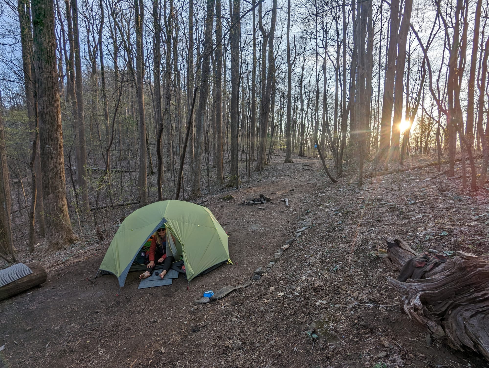
For the first couple of weeks, the routine was simple: wake up, pack slowly, walk most of the day, and still reach camp with hours left before dark.
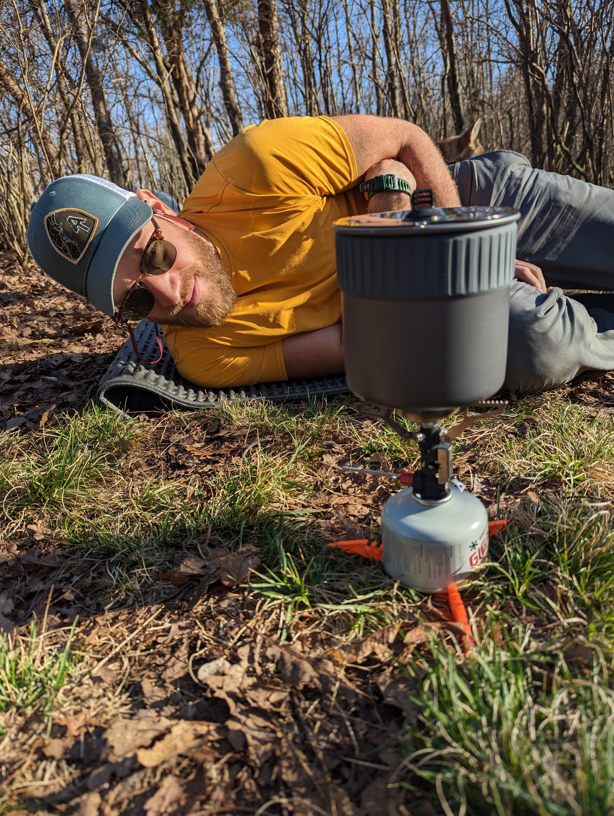
Most days started around 8 or 9 in the morning and ended by mid-afternoon. That left time to dry things, cook, filter water, talk with other hikers, and watch the shelter culture form around us. It was not efficient yet, but it was useful. We were learning.
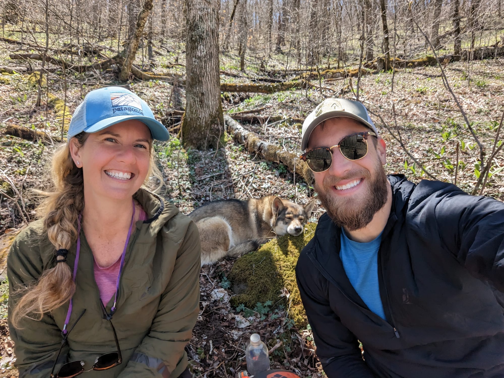
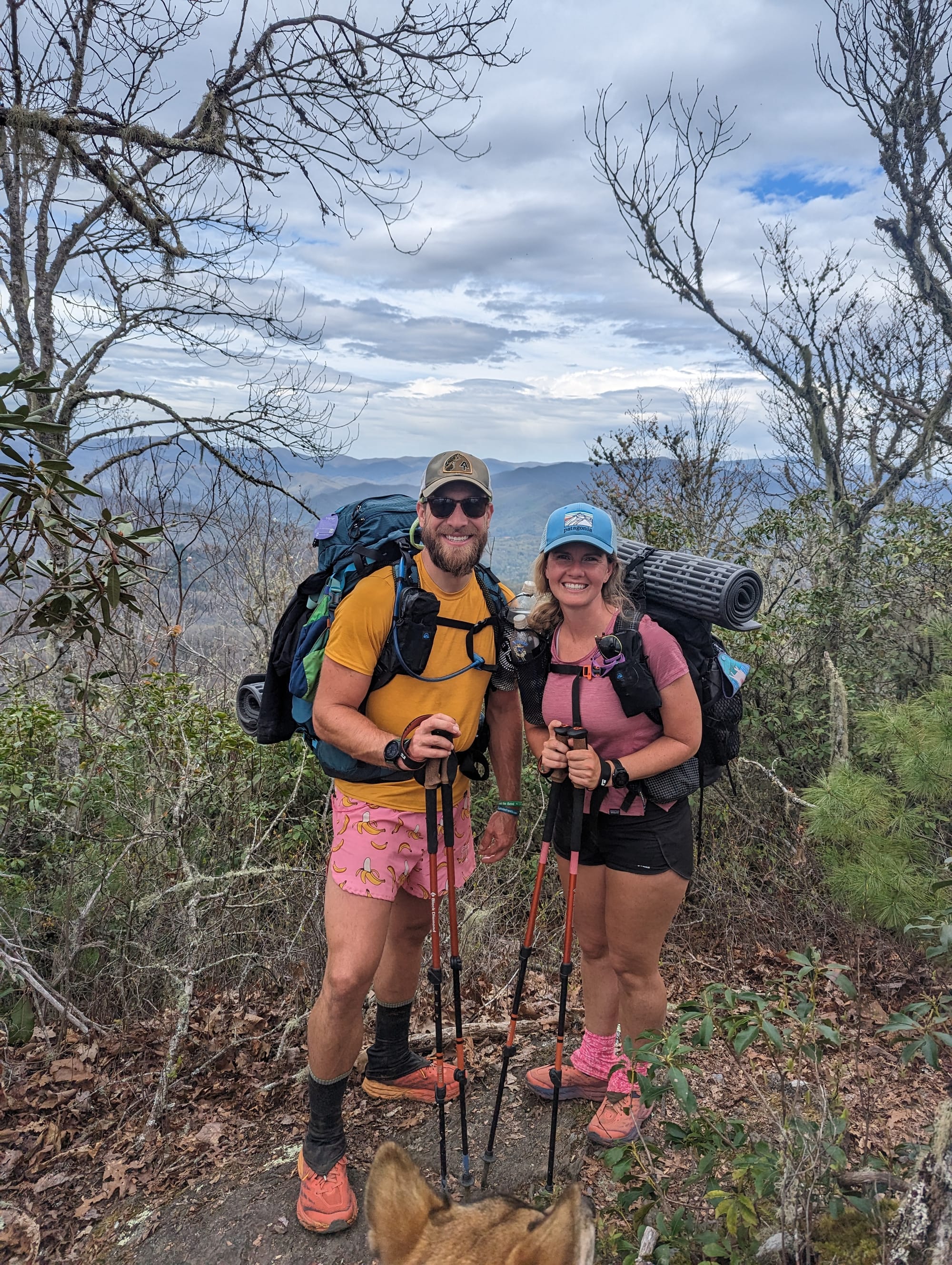
Akela settled in quickly. She took to the pack, handled the tent, and seemed comfortable with the routine. That confirmed the way we had planned the early miles. The hike needed to build around her pace and recovery, not just ours.
Food was one of the first systems that worked. Having resupply boxes meant breakfast, dinner, snacks, and Akela’s food had already been thought through. We did not have to solve every food problem in every town. That made the early trail feel more manageable.
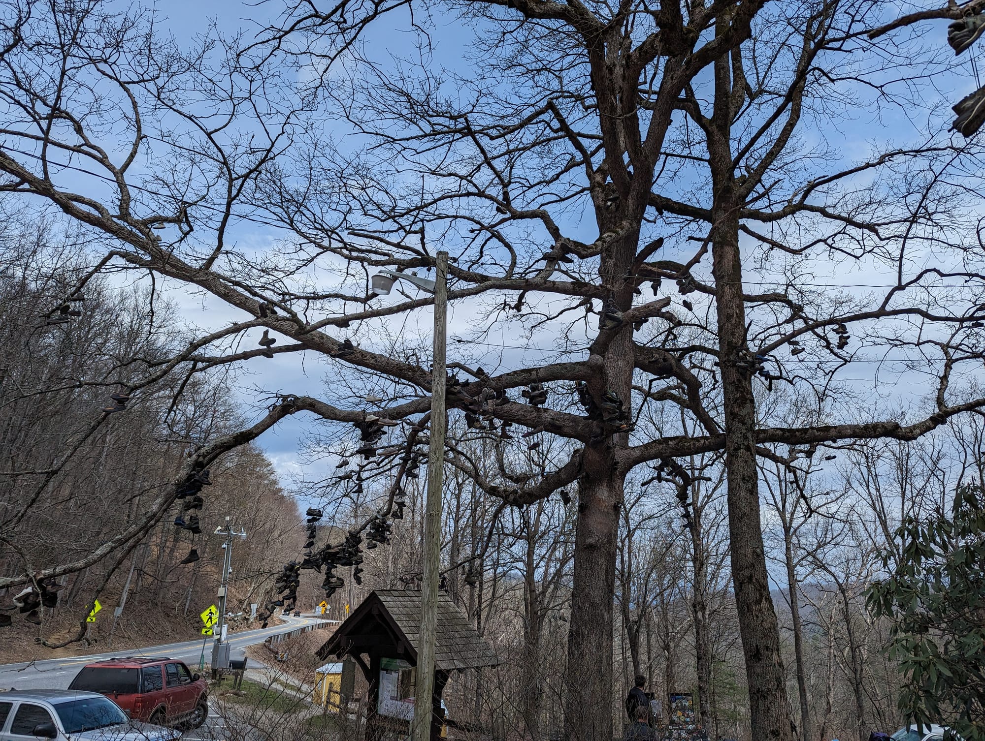
Neels Gap was the first real shakeout point. It was also the first place where the trail started sorting people. Gear moved into hiker boxes. Packs changed. People made decisions about what they were willing to carry, and some decided they were done.
Hiawassee was our first hostel experience, with Around the Bend becoming one of those early places where the trail felt more organized than expected. Sam changed packs there, and we met Learning Curve, who became a trail mentor and someone we stayed connected with.
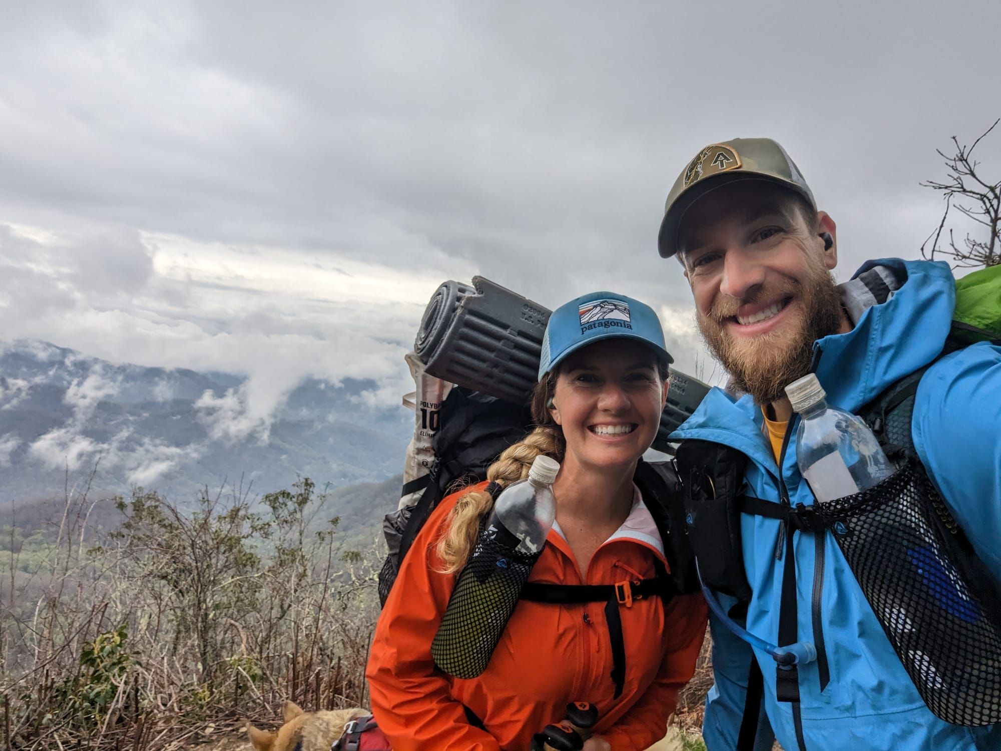
Franklin was different. Getting there came after cold rain, low visibility, and hands that were too cold to work zippers properly. It was one of the first times the logistics felt uncertain. Poor service, wet gear, a dog, and not knowing exactly how the shuttle situation would work made the gap between planning and reality obvious.
Then trail magic filled the gap. A couple at the trailhead had covered the back seat of their truck with a plastic shower curtain and were waiting to take hikers into town. That was one of our first real lessons in how the AT works: sometimes the system is not an app, a spreadsheet, or a confirmed shuttle. Sometimes it is people who know exactly what cold, wet hikers need before the hikers can say it clearly themselves.
By the time we reached Fontana, we were not fully adjusted, but we were no longer brand new. The systems were starting to work. The packs were being questioned. The miles were getting longer. The trail had started to become daily life.
⚡ TL;DR
- Section identity: the beginning of trail life
- Hardest part: repeated climbs with heavy early packs
- Best part: everything still felt new
- Most useful lesson: conservative pacing mattered more than proving fitness
- Place in the larger hike: where the plan became a lived system
Final Takeaway
Georgia and Southern North Carolina were where the trail started replacing theory with habit. The spreadsheet still mattered, but the real work was learning how to wake up, pack, climb, eat, dry out, take care of Akela, and do it again the next day.