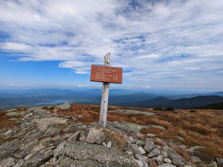
Appalachian Trail | The Smokies & TN Borderlands
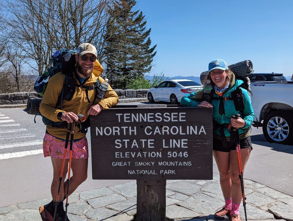
The Smokies were the first section that felt like a threshold.
Georgia and Southern North Carolina taught us how to function on trail. Fontana Dam felt like the edge of something larger. Ahead of us was a national park, higher elevations, stricter rules, bigger weather, required shelter logistics, and enough hiker chatter to make the whole thing feel slightly more serious than what we had already walked through.
Some of that chatter was useful. Most of it was just early-trail fear moving from person to person. People talked about freezing temperatures, crowded shelters, bears, long climbs, and how quickly the weather could change. By the time we reached Fontana, we were mostly excited, but there was enough uncertainty to make the Smokies feel like a real line on the map.
This was also the first section where the trail started to feel less like a beginning and more like a route. The Smokies, Hot Springs, the Roan Highlands, Hampton, and the walk into Damascus each had a different feel. The trail was still teaching, but we were starting to move with more confidence.
🗺️ The Lay of the Land
- Section: The Smokies & Tennessee Borderlands
- Route: Fontana Dam to Damascus
- AT miles: Approx. 166–475
- States covered: North Carolina · Tennessee · Virginia
- Direction: Northbound
- Landscape: high Southern Appalachians · border ridges
- Terrain: long climbs · high ridgelines · balds · forested gaps
- Section role: the first major shift from early trail life into sustained mountain travel
Regional Notes
This section moves through several versions of the Southern Appalachians.
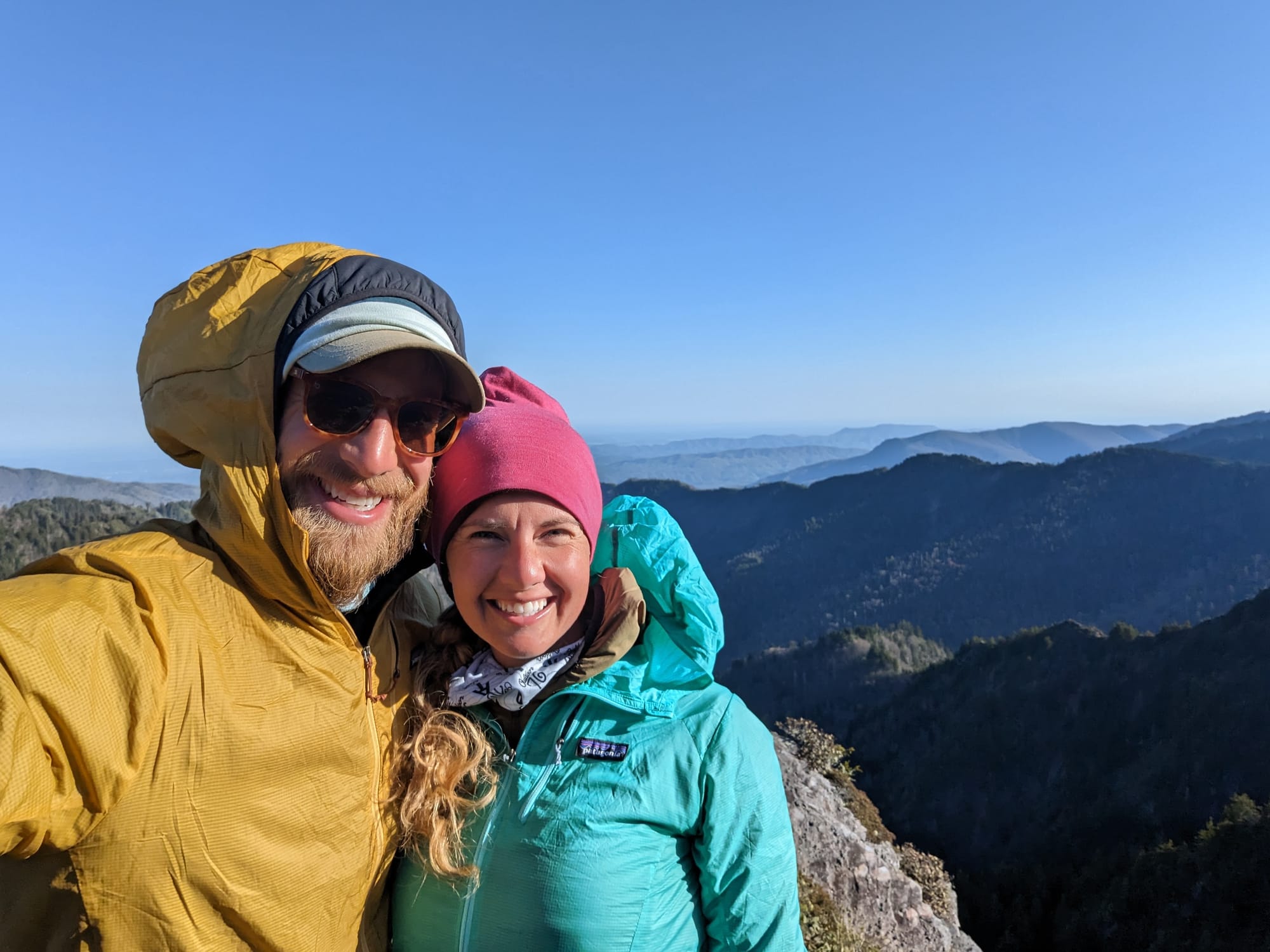
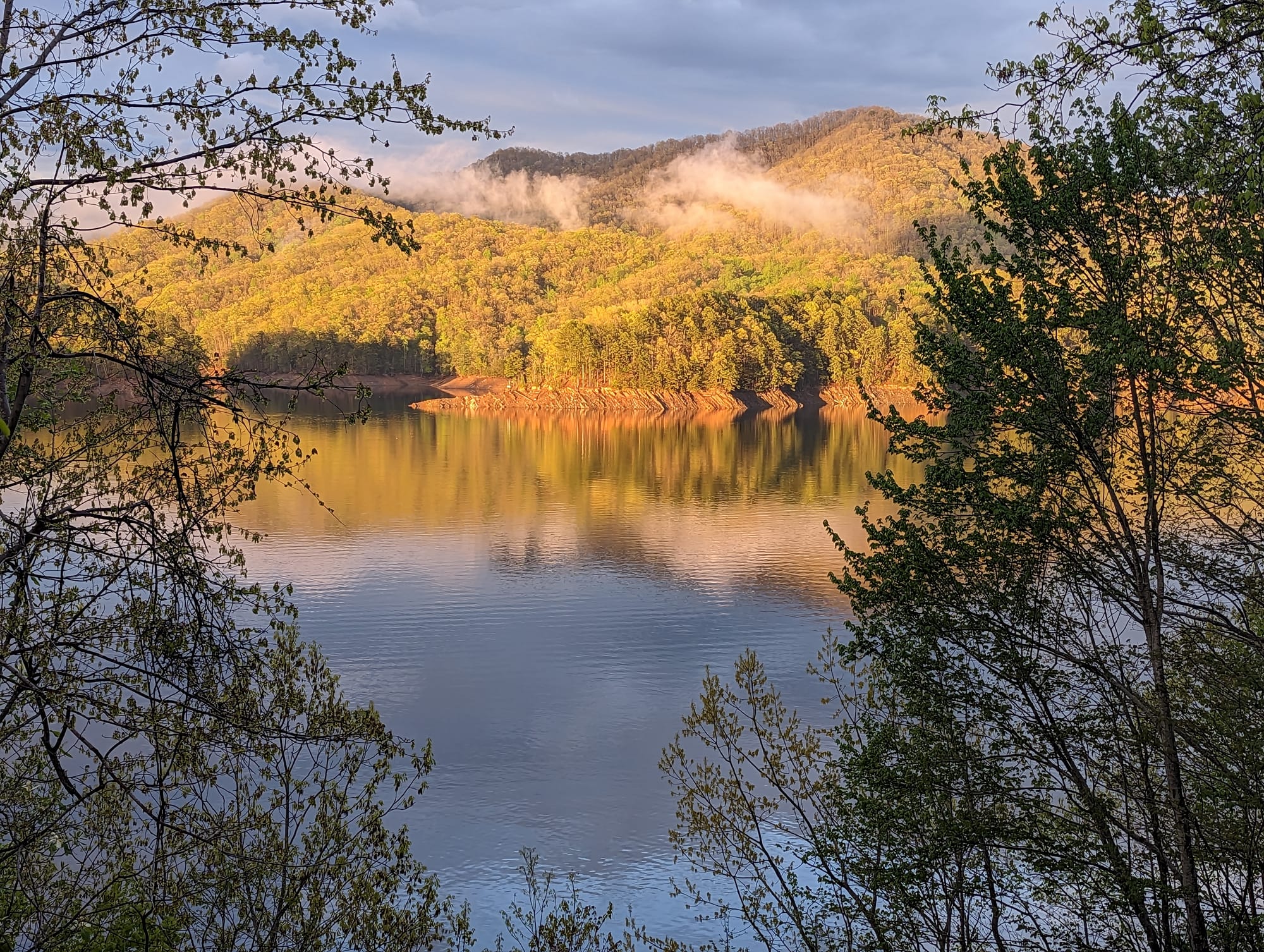
Fontana Dam is the first hard boundary. The trail leaves the reservoir and climbs into Great Smoky Mountains National Park, where the walking becomes higher, colder, and more contained. The Smokies are old mountains, built from ancient, metamorphosed rock, but they do not feel worn out. The trail gains the ridge and spends much of the park moving along the North Carolina and Tennessee line, with forest on both sides and views opening just often enough to remind you how much is below.
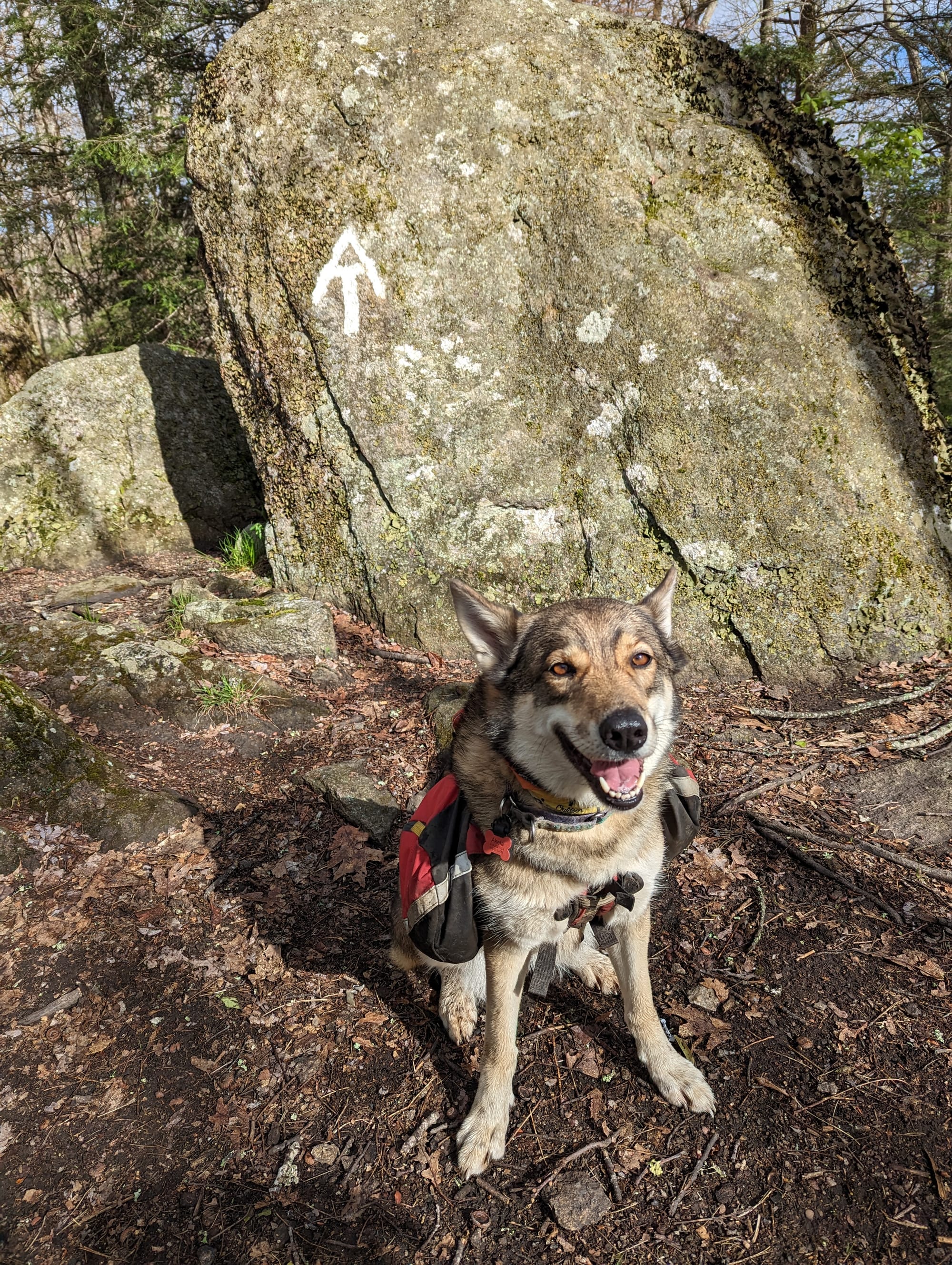
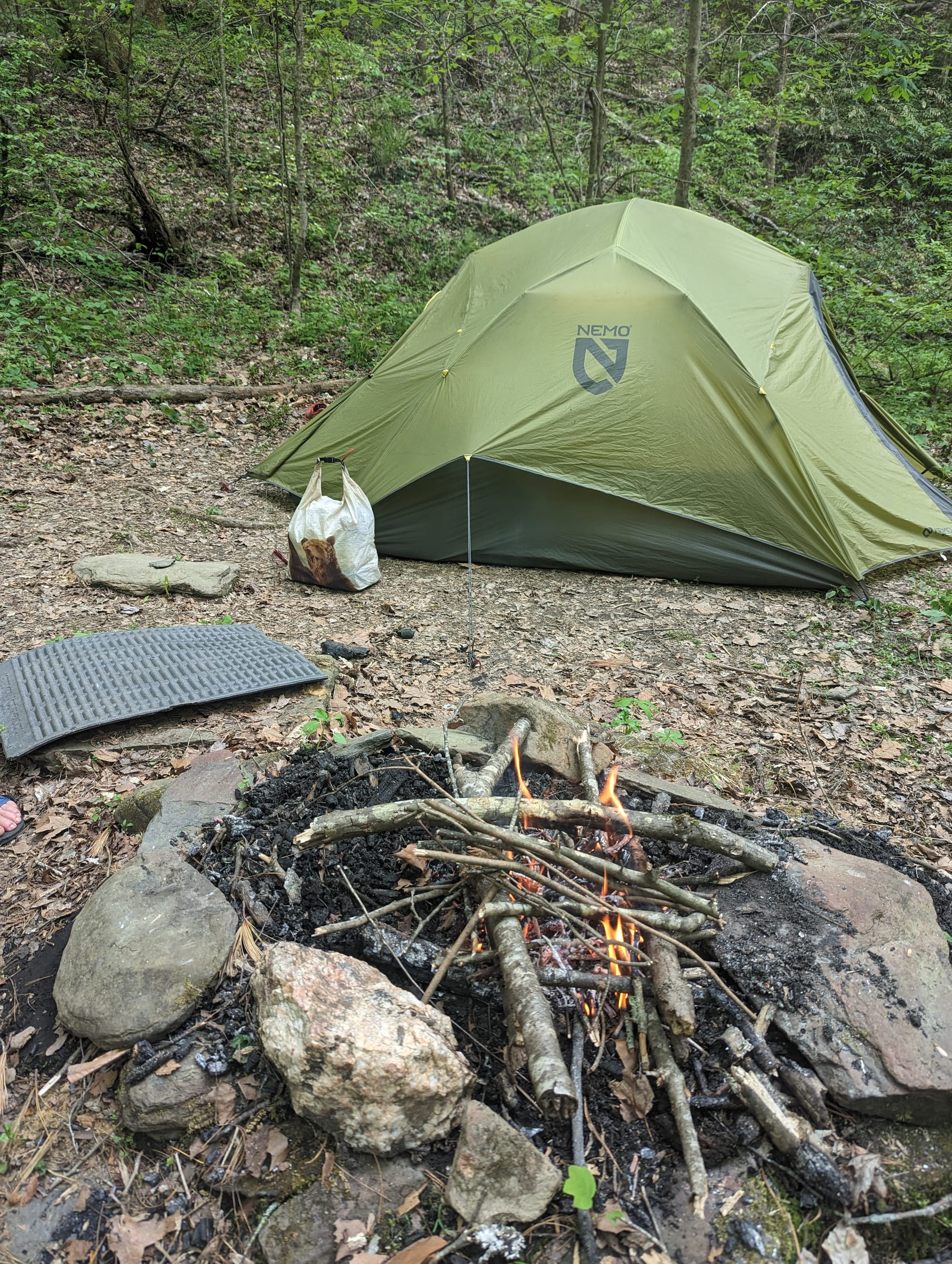
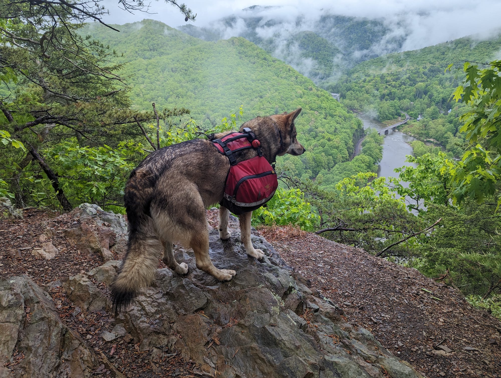
The park also changes the rhythm because the rules change. Shelter spacing matters. Camping options are more controlled. Dogs are not allowed on most park trails, so Akela had to leave us for this section. Even the privy situation depended on which side of the state line the shelter fell on, which is the kind of detail hikers learn faster than they expect.
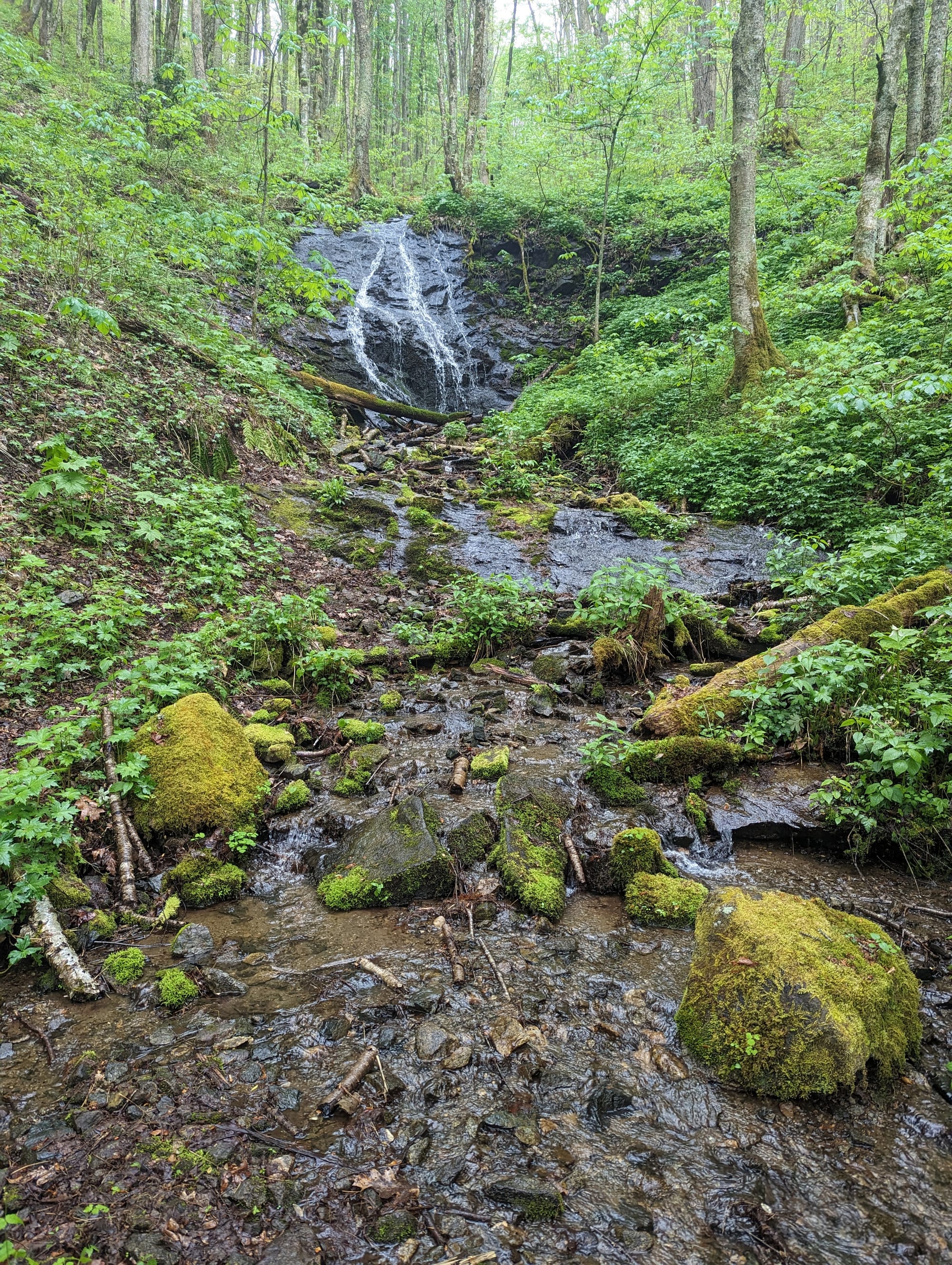
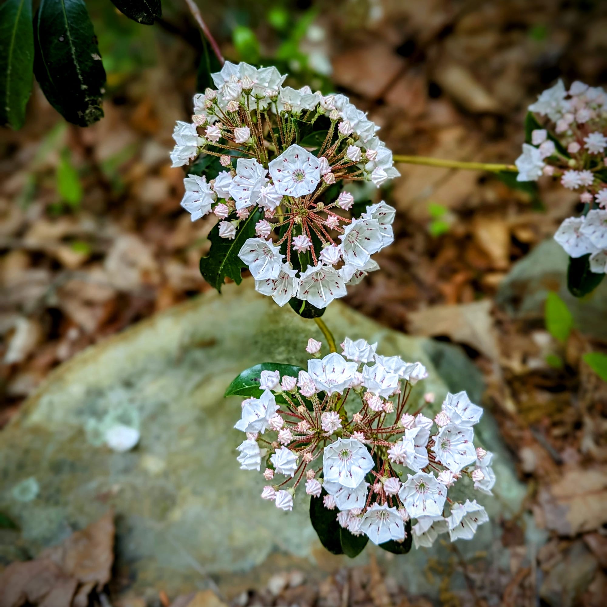
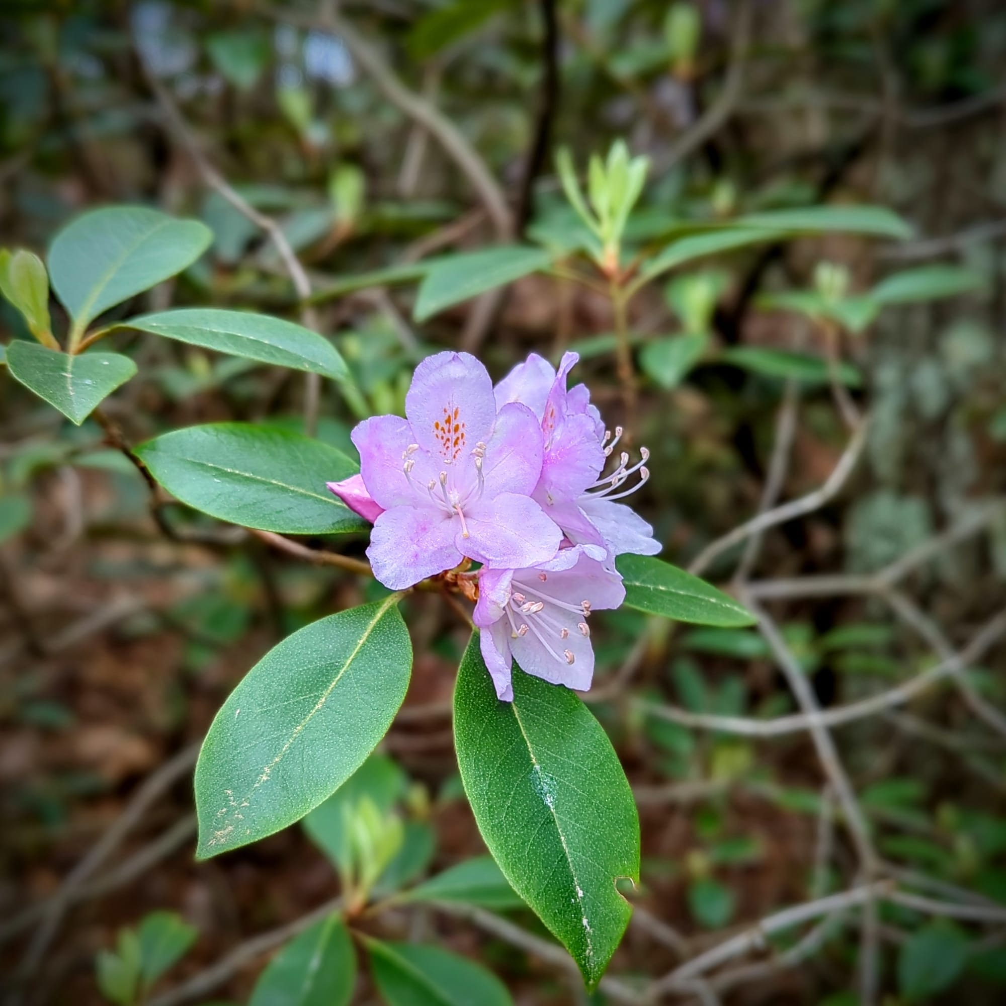
Spring was starting to show up, but it had not fully committed yet. That made the Smokies feel alive and unsettled at the same time. Plants were in bloom. Birds were active. Deer were common. The forest had movement in it. But the higher elevations still carried enough cold and weather to keep the section from feeling soft.
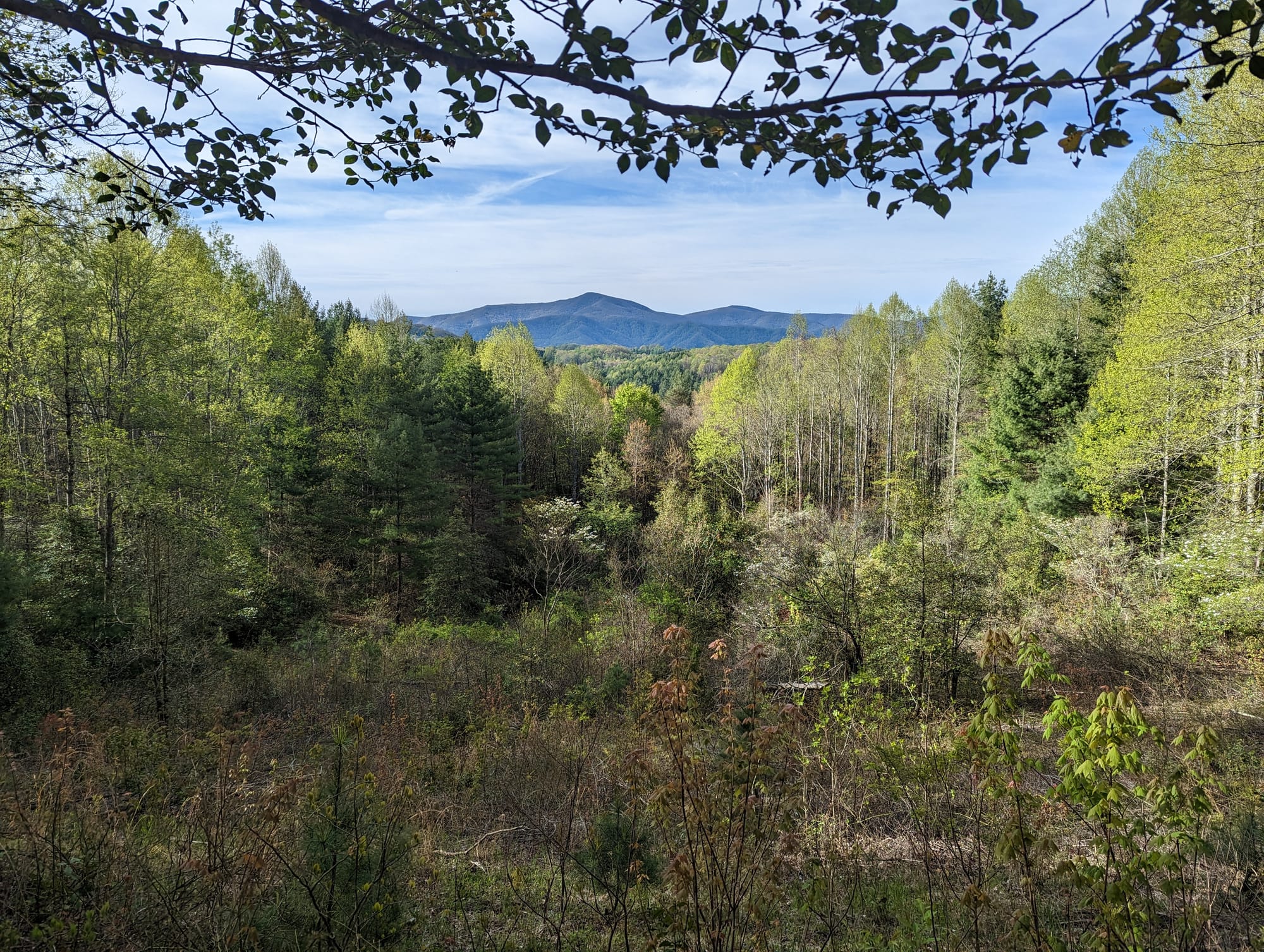
Hot Springs gave us a true trail-town reset. The Roan Highlands opened into one of the first big landscapes that felt different from everything before it. The balds around Roan had space, wind, and long views. They looked like somewhere you would want to sit all day, but the early-season wind kept us moving.
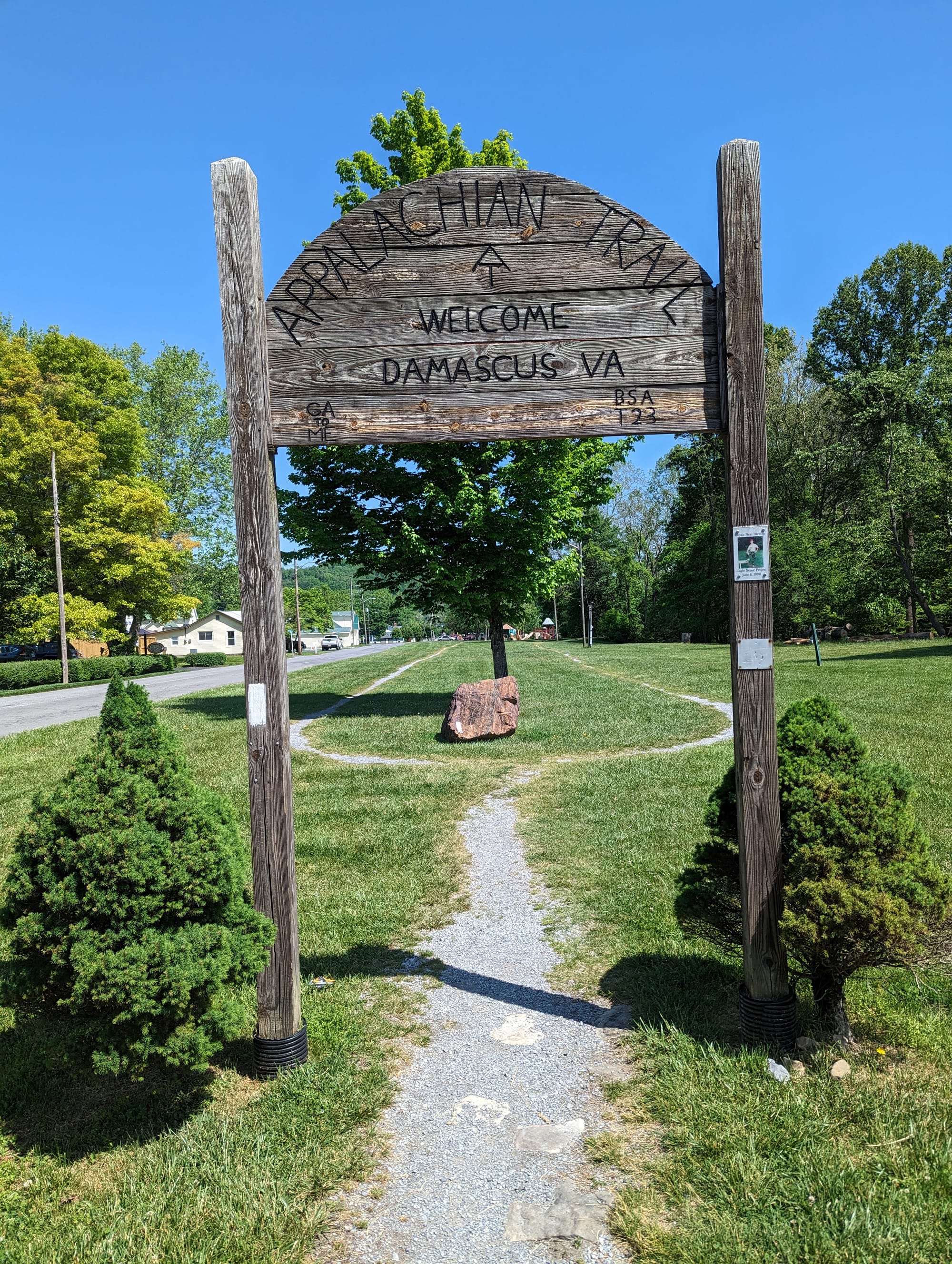
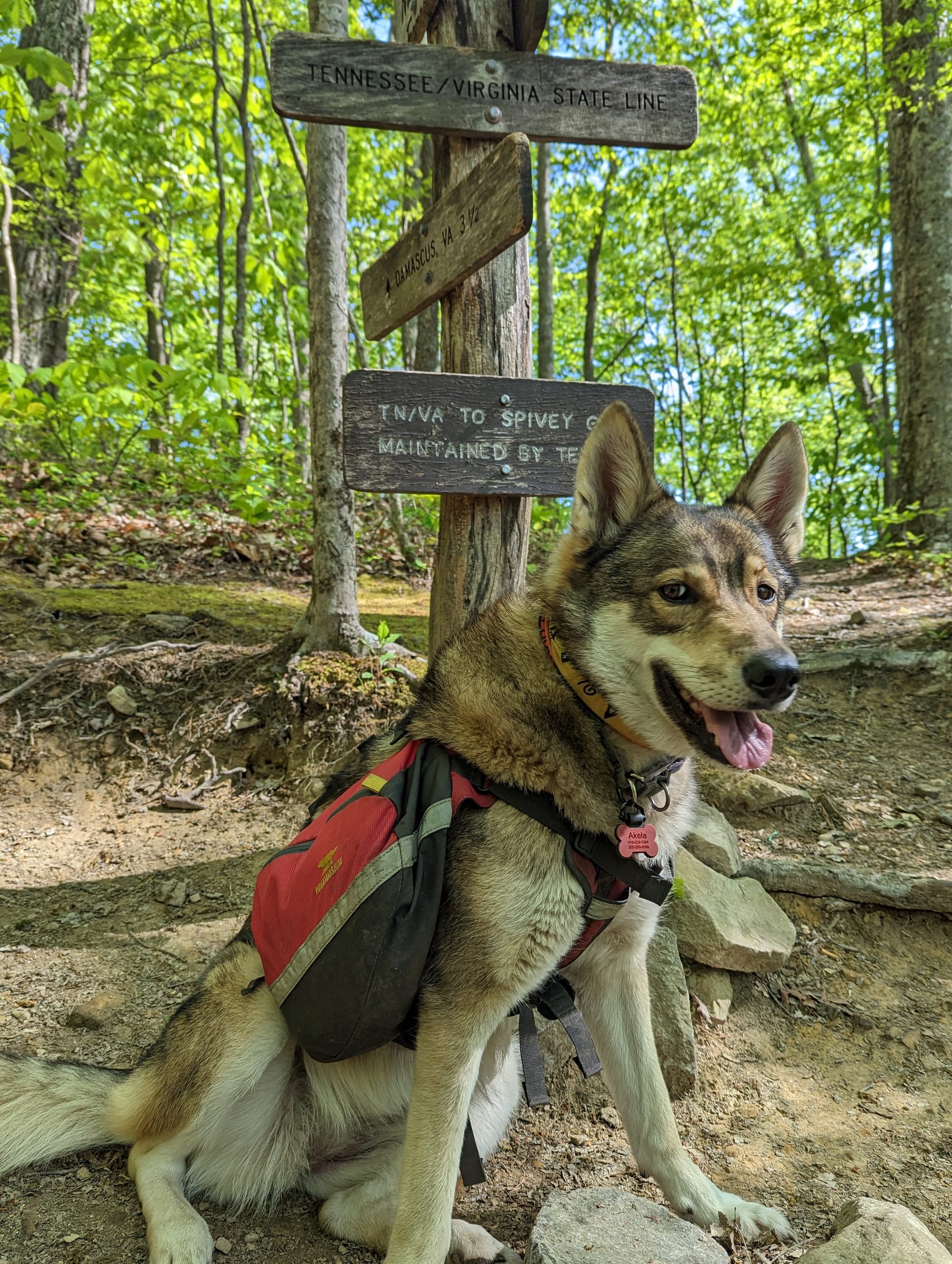
By Damascus, the trail had changed again. We had moved through the first national park, crossed into a more confident daily rhythm, and reached the doorway into Virginia.
🥾 On the Trail
- Mileage pattern: steadier days · longer climbs · first 15+ mile days
- Water: generally reliable
- Shelter rhythm: required shelters in the Smokies · shelters and tenting beyond the park
- Trail towns / resupply points: Fontana Dam · Hot Springs · Erwin · Hampton · Damascus
- Crowd level: steady bubble · more spread out after the Smokies
- Best remembered for: where the hike started to feel real
Trail Rhythm
The Smokies bunch hikers together.
Because of the shelter rules and the way the park is spaced, people who had been moving loosely through Georgia and North Carolina started landing in the same places. Shelters were busy. Familiar faces became more familiar.
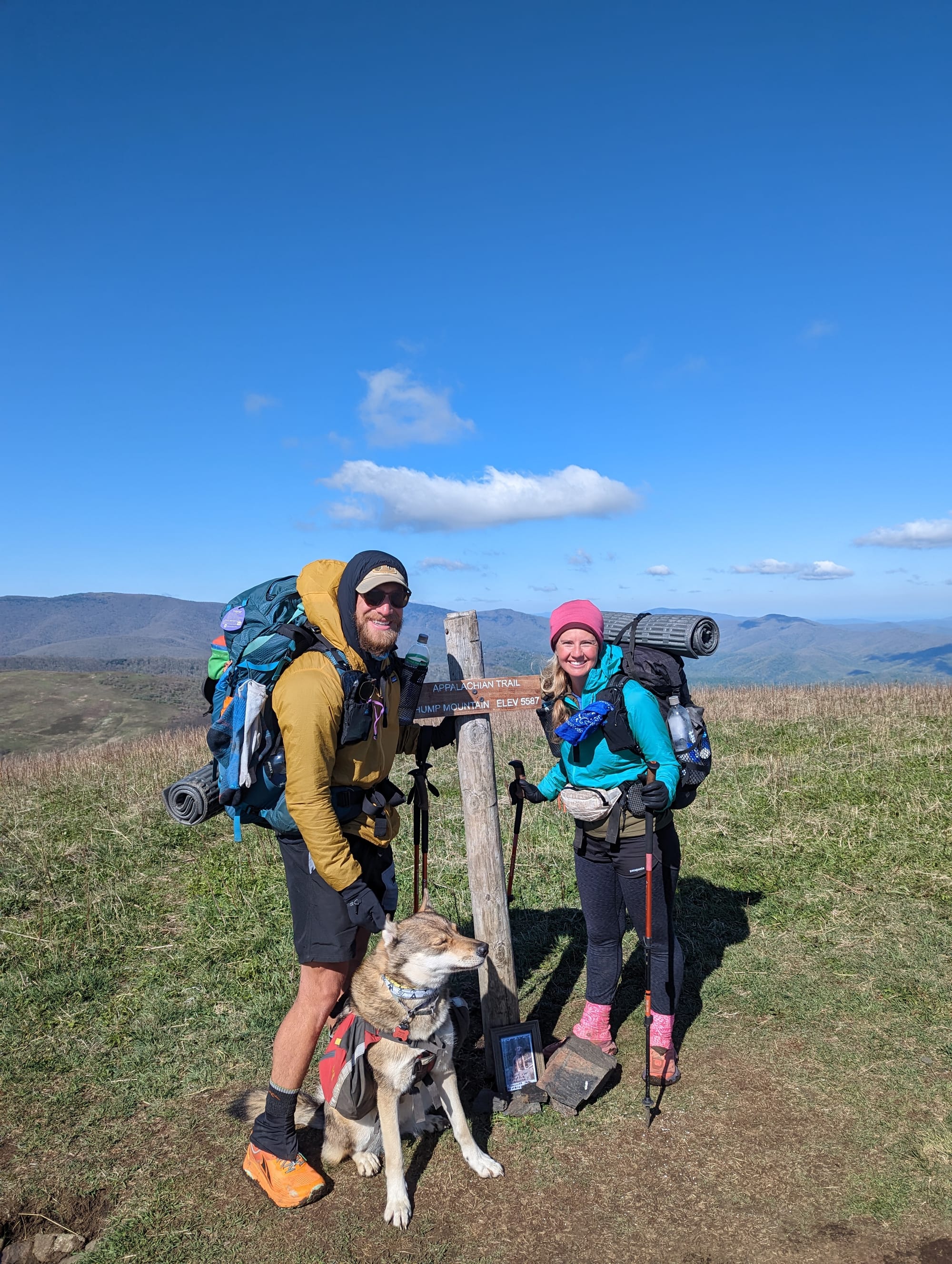
We also had an unexpected hiking partner. A section hiker we had been walking with was planning to leave before the Smokies, but his son knew the park was something his dad had always wanted to do. He asked if we would keep an eye on him through that stretch, so we adopted a dad for the Smokies.
His trail name was Ranger, and the name fit. He had worked in forestry and fire management in New York, and walking through the park with him felt like having our own ranger along. He noticed things we would have walked past. That changed the section for us. The Smokies became less about getting through a hyped-up hard part and more about paying attention.
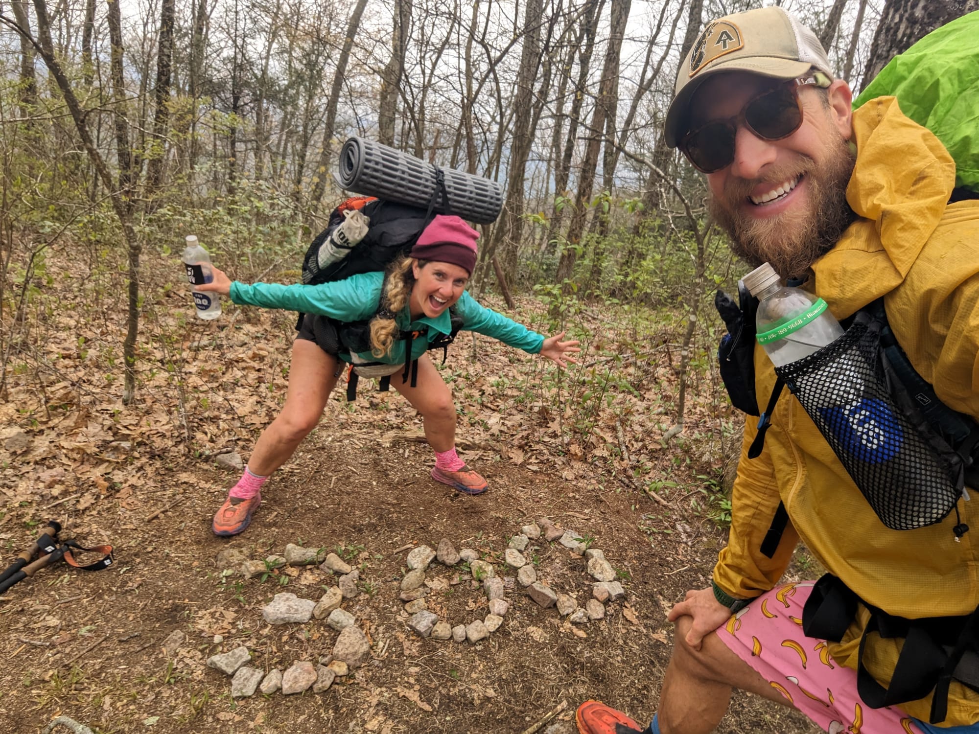
This is also where we earned our trail names.
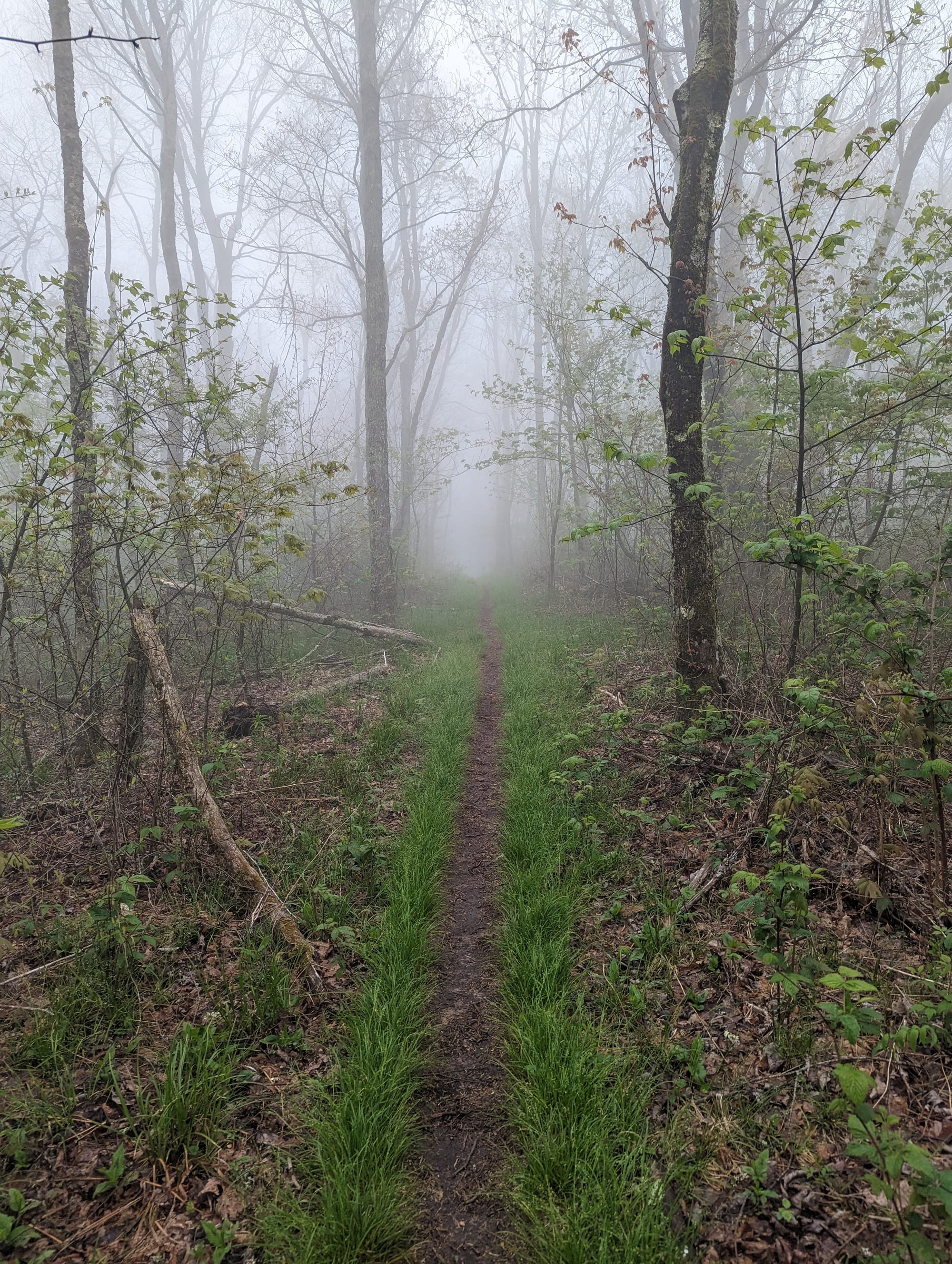
Mine came from Lennon, another hiker we had met during the cold, wet stretch into Franklin. He had been walking the wrong direction when we ran into him, and we helped turn him around. A few days later, after a few more small moments of giving directions and helping people sort themselves out, Lennon started calling me Miracle. I resisted it at first. It felt like a lot to carry. He told me that was the point.
Sam became Sunshine in the Smokies. Iron Mike gave her the name because it fit what people already noticed about her: steady good cheer, even when the weather was bad or the day was hard. She resisted it too, partly because we had already met another Sunshine. But other hikers picked it up quickly, and after a few days, it was hers.
After that, Brandon and Sam started to disappear on trail. Miracle and Sunshine were easier for people to remember, and the trail had its own etiquette around names. Once you had a trail name, your 'government name' mattered less.
Akela’s Smokies logistics worked better than we could have hoped. Loving Care Kennels in Pigeon Forge picked her up at Fontana Dam, kept her while we crossed the park, then dropped her back near the far side with one of our resupply boxes. She got a break, ate well, and came back ready to move.
Erwin marked one of my first major gear changes when I switched from Hoka Speedgoats to Altra Olympus, a change that ended up sticking long after the AT.
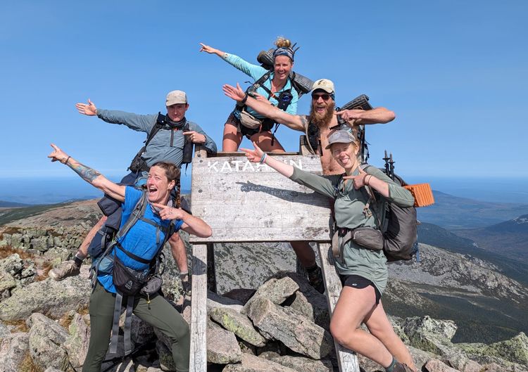
At Black Bear Resort near Hampton, I changed packs and we met a group of hikers we would keep crossing paths with for the rest of the trail: Slow & Steady, B-Sweet & Voyager, Drunken Monkey & Kaleidoscope, Proof, GAP, and a few others who became part of the wider trail orbit. The word “tramily” gets used a lot on the AT, sometimes too easily, but this was where that started to make more sense. People disappeared, reappeared, skipped ahead, fell behind, and somehow kept showing up again.
The miles were getting longer. Setups were faster. Breakdowns were cleaner. The gear was still changing, but less randomly. We were not done learning, but we were no longer brand new.
⚡ TL;DR
- Section identity: high-country Southern Appalachians
- Hardest part: weather, shelter logistics, and longer sustained climbs
- Best part: the Smokies and the Roan Highlands
- Most useful lesson: structure, rules, and trail culture started shaping the hike as much as mileage
- Place in the larger hike: where the AT stopped feeling like a beginning and started feeling like a long mountain route
Final Takeaway
The Smokies and Tennessee Borderlands gave the hike a wider frame. By Damascus, we had moved through our first national park, picked up trail names, started recognizing the same hikers again and again, and crossed into a rhythm that felt less like starting out and more like belonging to the trail.