Appalachian Trail | Virginia
Virginia did not feel like one long sameness to us.
It is easy to talk about this state as the long middle of the Appalachian Trail. It has the most AT miles of any state, and hikers warn each other about the Virginia blues before they even get there. The idea is that the novelty starts wearing off, the miles stretch out, and the trail becomes a grind.
That was not really our experience.
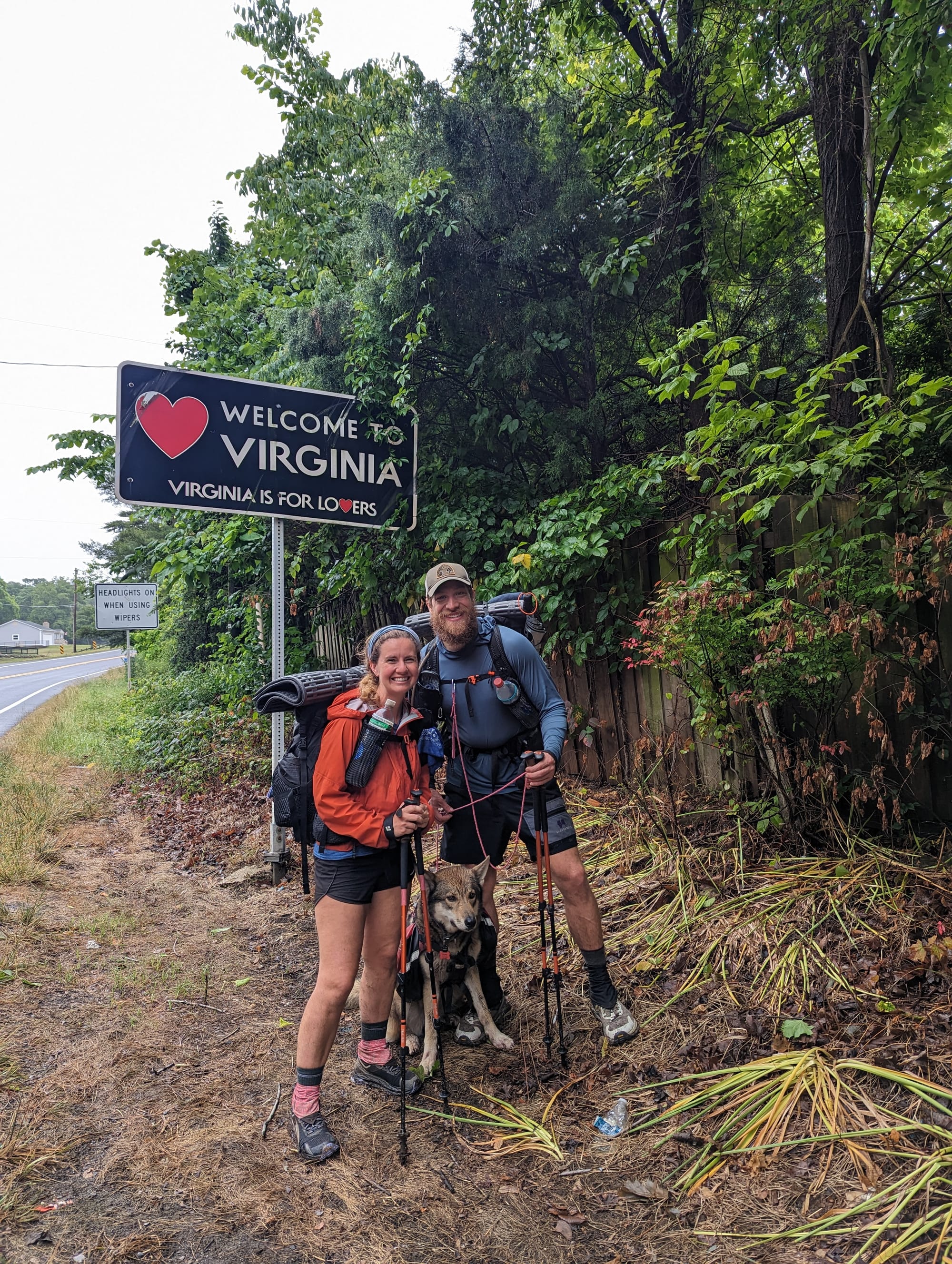
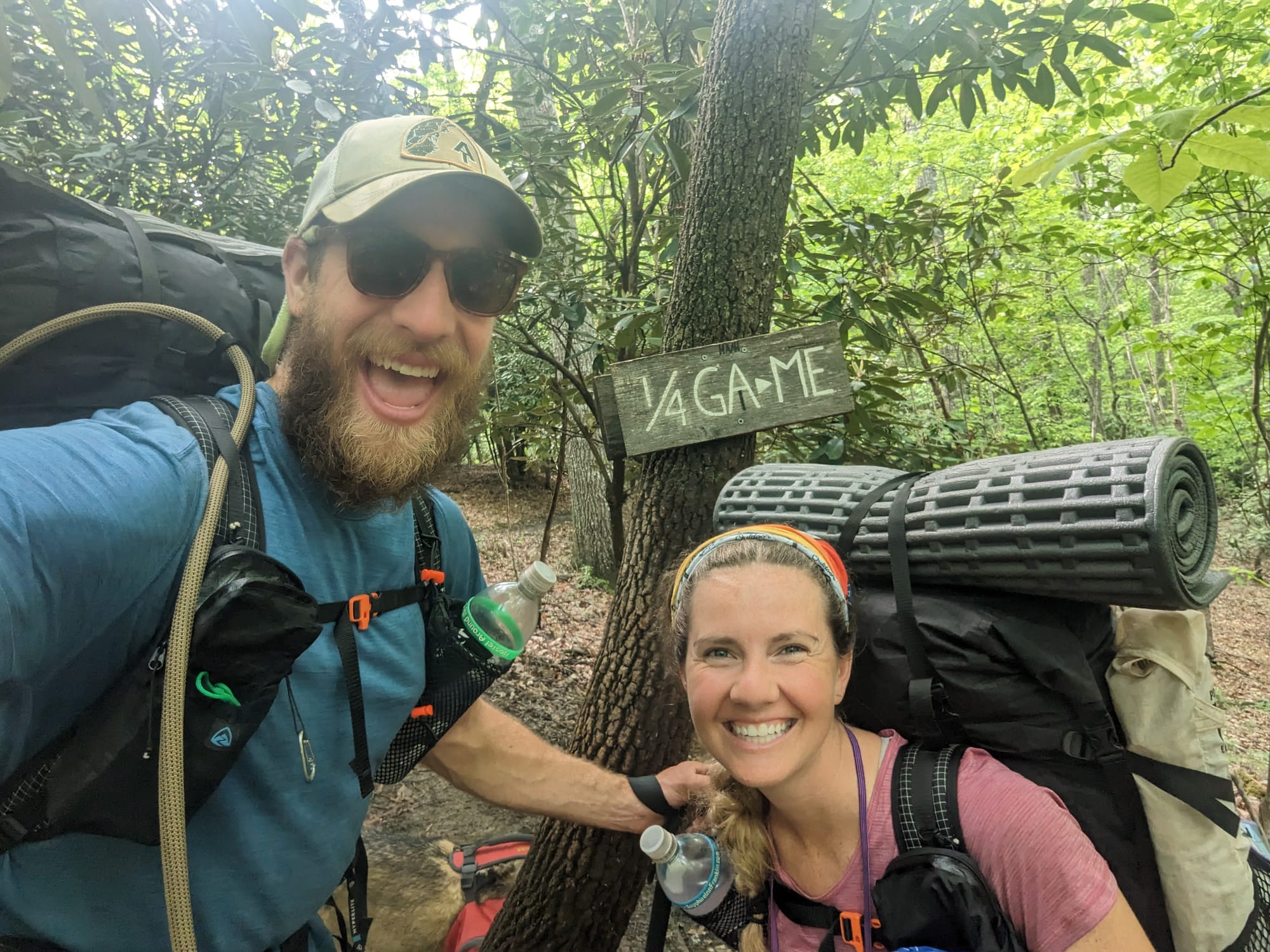
Crossing into Virginia did not feel like a major ceremony. It felt like the next section of trail. Other hikers were starting to talk about bigger miles, faster days, and using Virginia’s gentler reputation to make up time. We never felt much pressure to do that. The master plan still had us moving well, Akela was still hiking strong, and 15- to 20-mile days were enough.
What made Virginia interesting was how much it changed while still being Virginia. Grayson Highlands did not feel like the Triple Crown. The open farms and pastures did not feel like Shenandoah. Glasgow is not like Front Royal. The state was long, but it kept shifting.
Virginia became less about rushing through a big state and more about seeing how many versions of the trail could fit inside one border.

🗺️ The Lay of the Land
- Section: Virginia
- Route: Damascus to Harpers Ferry
- AT miles: ~471–1,025
- States covered: Virginia · West Virginia
- Direction: Northbound
- Landscape: Blue Ridge Mountains · Appalachian valleys
- Terrain: highlands · pastures · long ridges · rocky overlooks · national park corridor
- Section role: the long state that kept changing
Regional Notes
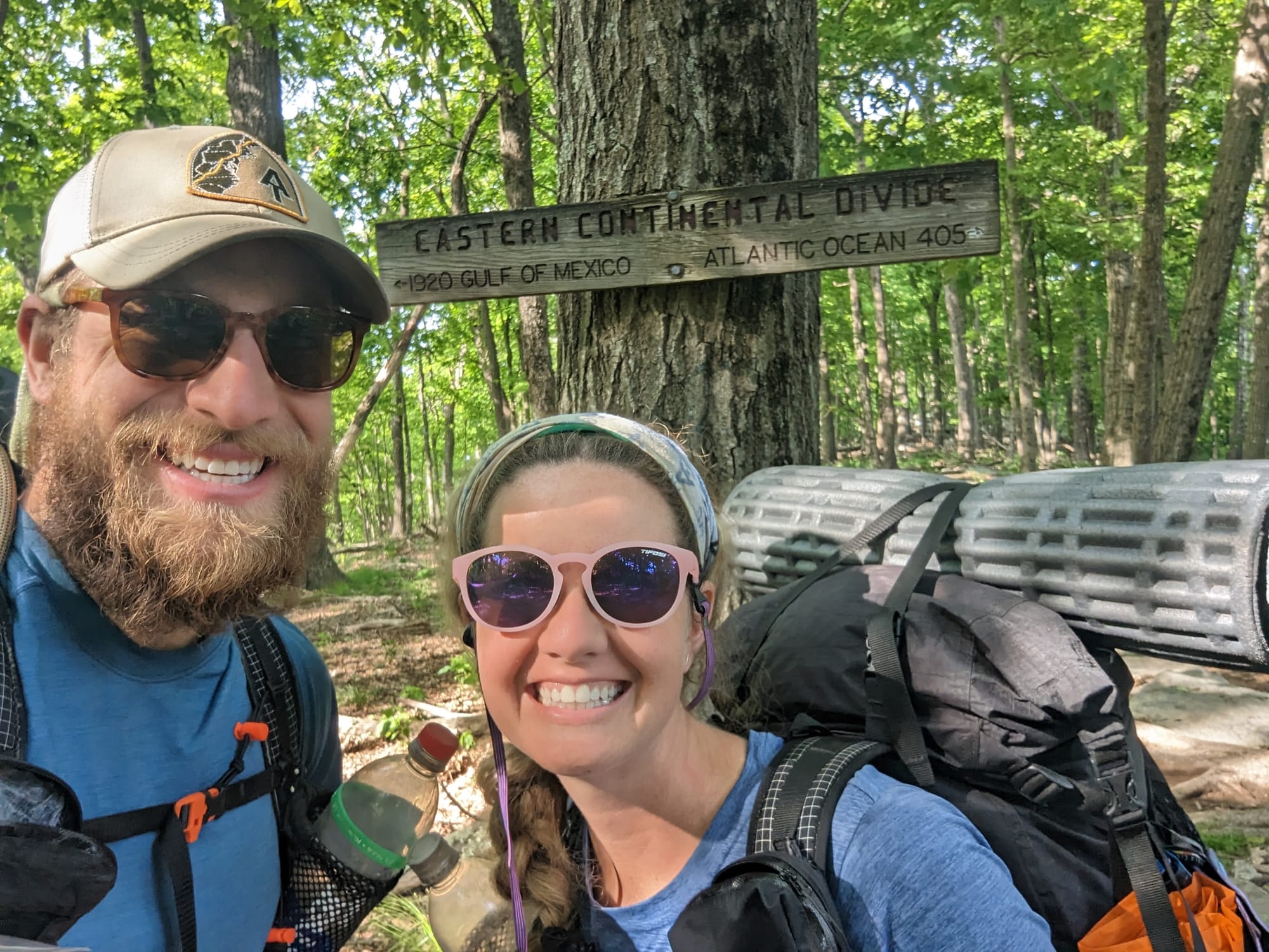
Virginia is not flat. It is just different from the high Southern Appalachians before it.
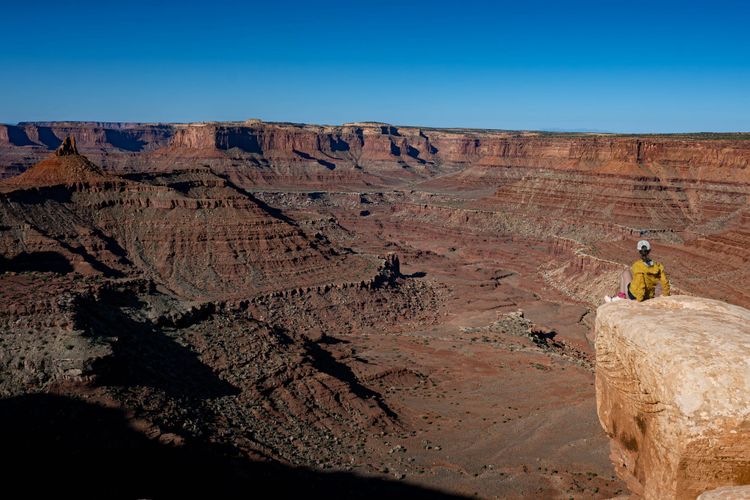
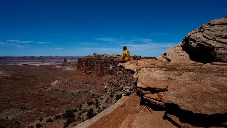
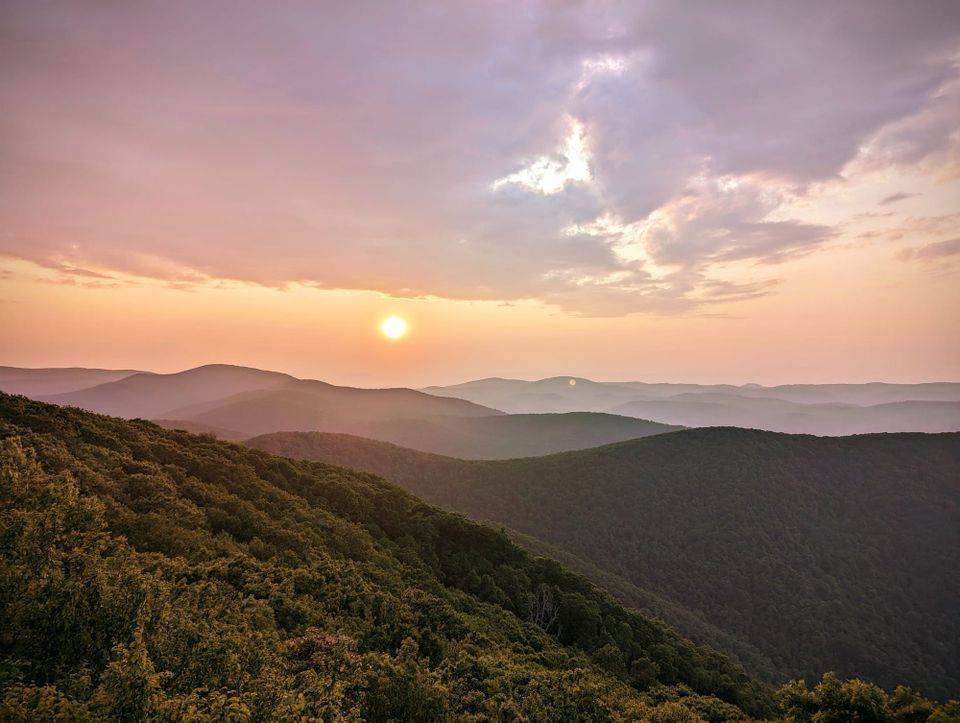
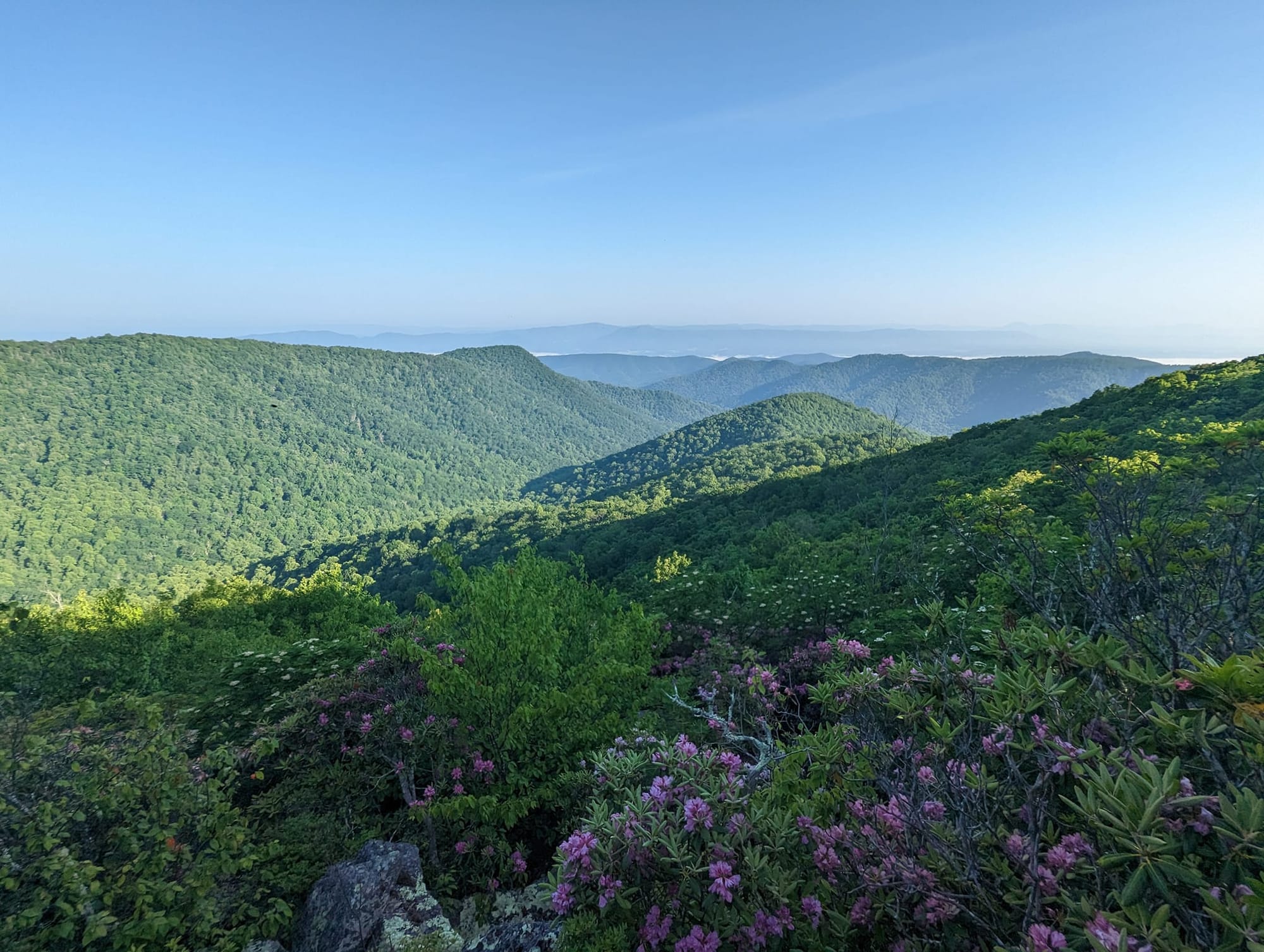
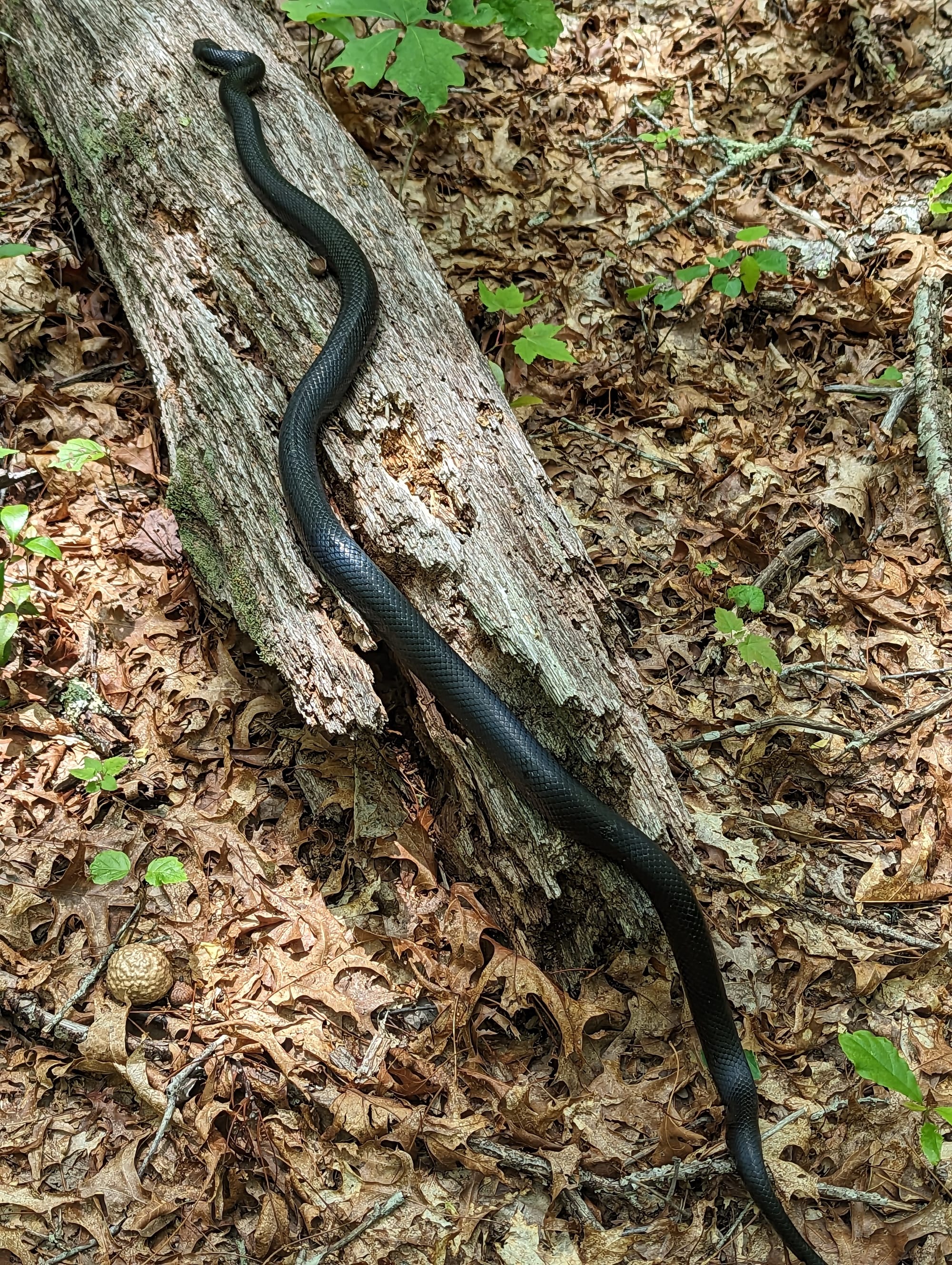
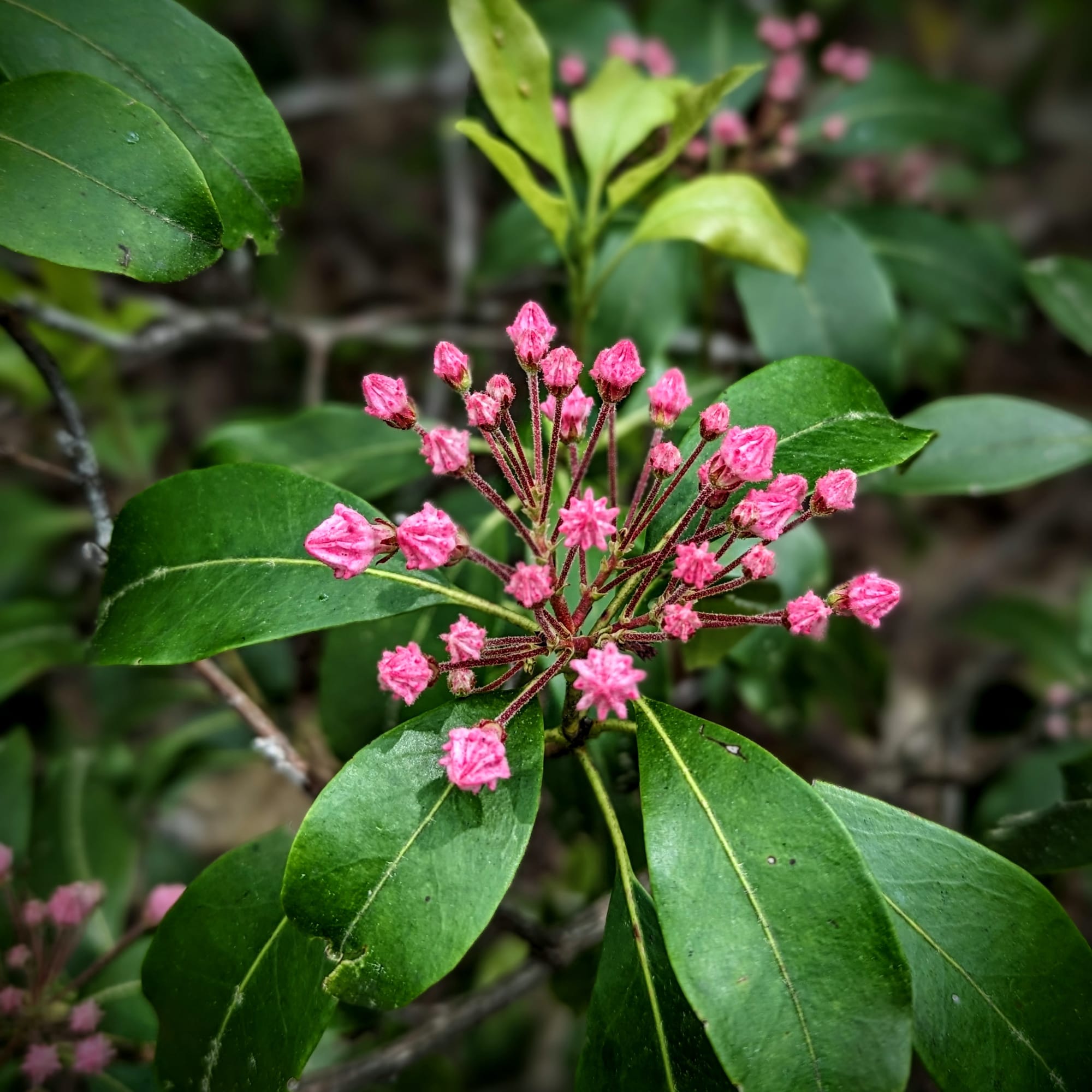
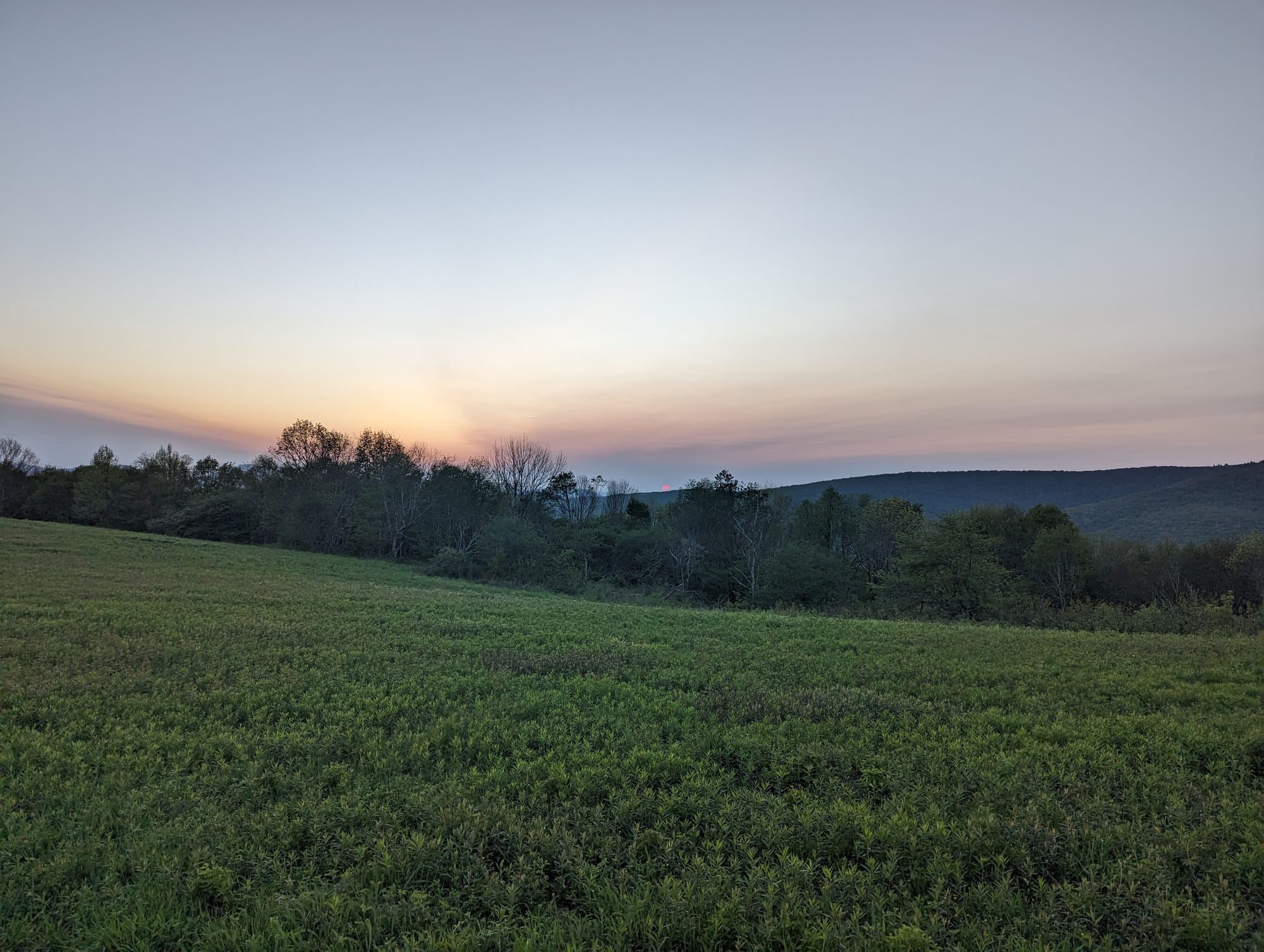
The trail begins this section in the southwest corner of the state, where the Mount Rogers high country and Grayson Highlands bring open balds, exposed ridges, and grazing ponies into the hike. When we passed through, the weather made the place feel even stranger. Mist, soft rain, and low cloud turned the ponies into shapes appearing and disappearing at the edge of the trail.
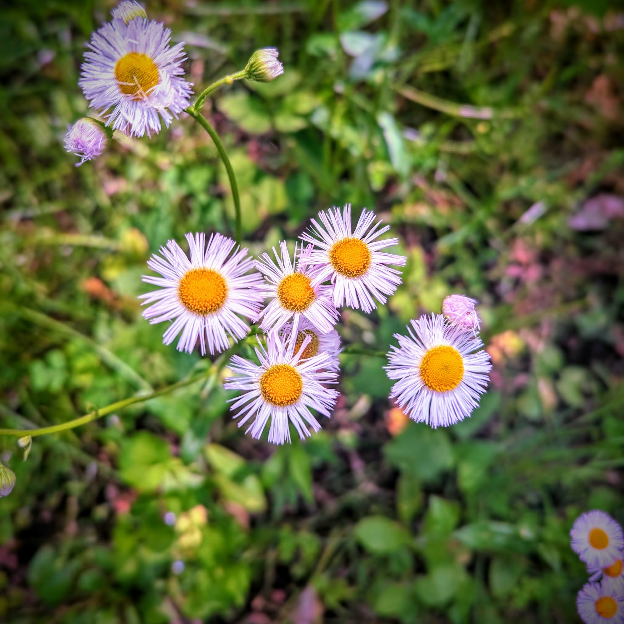
Farther north, the trail moved through valleys, farms, road crossings, and longer ridges. There was more human presence than in the Smokies, but not in a bad way. Virginia was full of access points, pastures, trail magic, hostels, and people who seemed to understand that hikers needed simple things: food, rides, shade, a place to sit, and a reason to keep smiling.
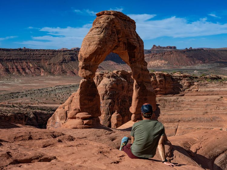
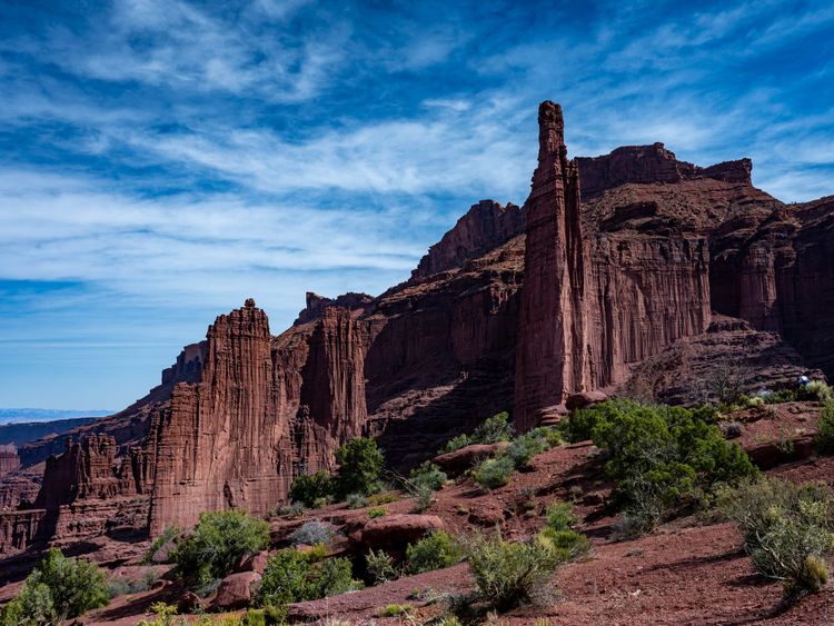
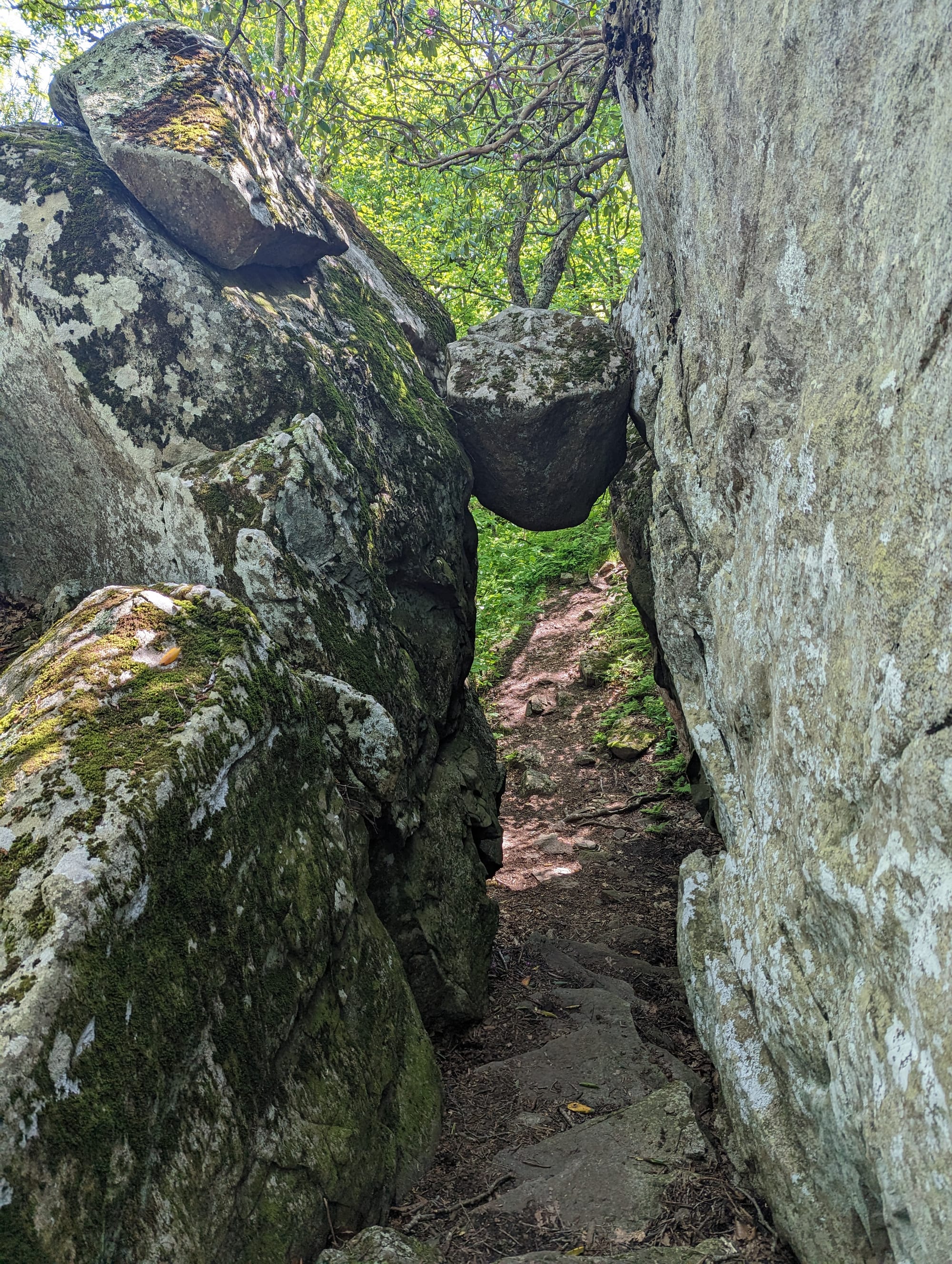
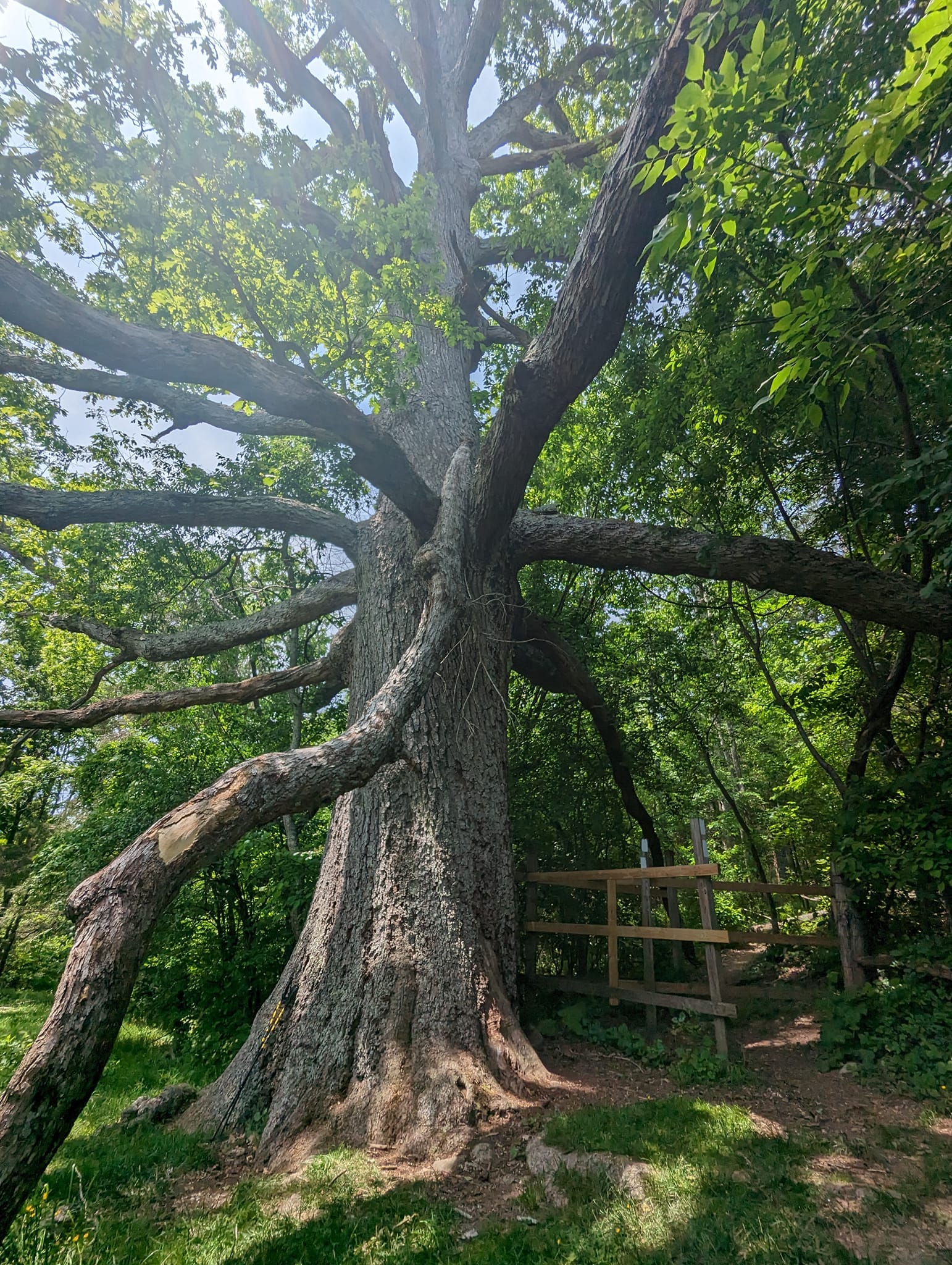
The Triple Crown area gave the state its most iconic stretch. Dragon’s Tooth, McAfee Knob, and Tinker Cliffs were not just named landmarks to check off. They were places worth slowing down for. We did not try to crush that section in a day or two. We took our time, and for a long while afterward it remained one of our favorite parts of the entire trail.
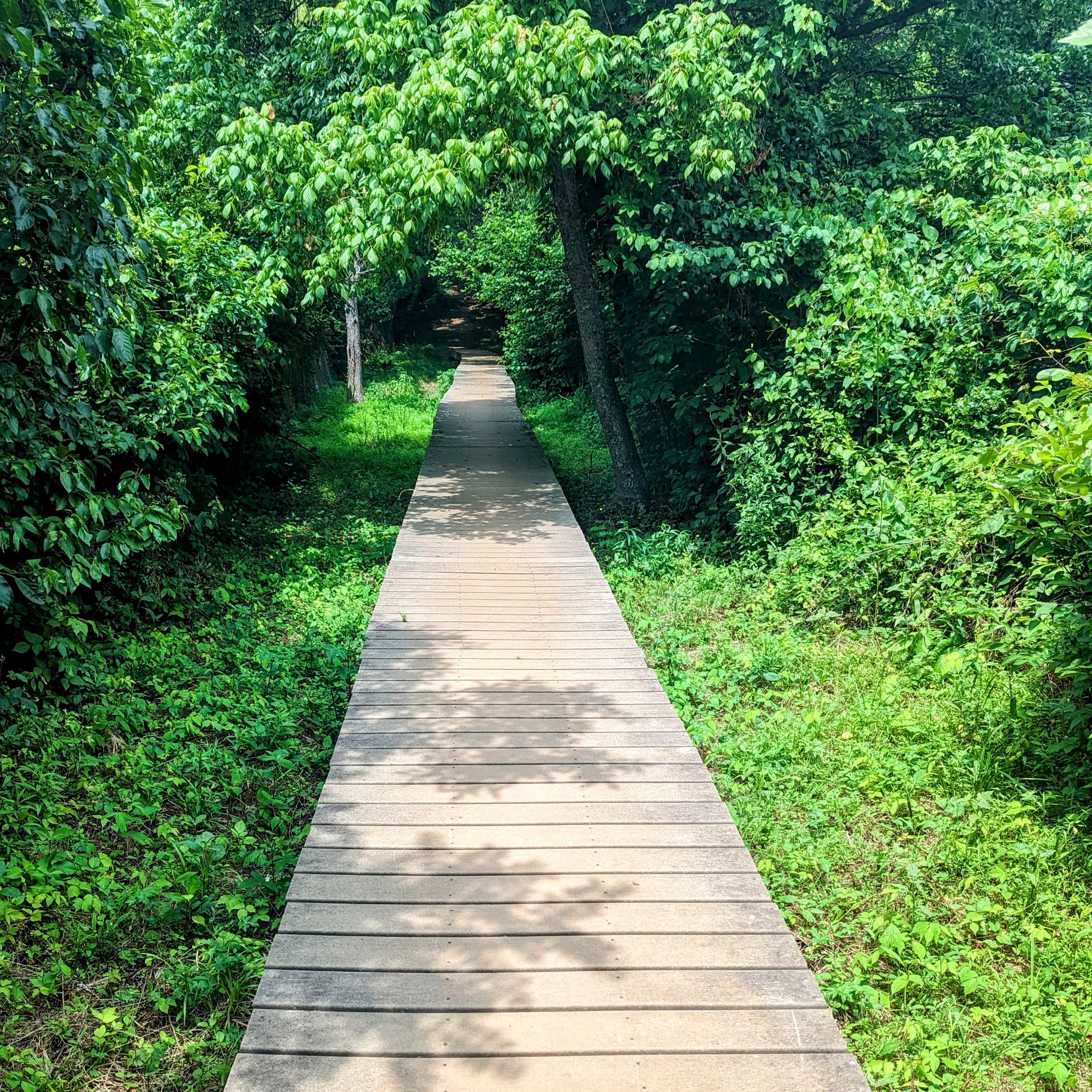
Shenandoah changed the feel again. The trail became more manicured, more road-adjacent, and more connected to park infrastructure. It was still walking, but the relationship between trail, road, overlooks, visitors, and waysides made it different from the rest of Virginia.
By Harpers Ferry, Virginia had done more than move us north. It had stretched the hike across highlands, farms, ridges, family visits, trail towns, national park miles, and enough distance to feel like real progress.
🥾 On the Trail
- Mileage pattern: steady 15- to 20-mile days
- Water: generally reliable, with some longer dry stretches (Shenandoah)
- Shelter rhythm: frequent shelters · more space as the bubble spread out
- Trail towns / resupply points: Damascus · Marion · Pearisburg · Daleville · Glasgow · Waynesboro · Front Royal · Harpers Ferry
- Crowd level: spreading out · familiar hikers reappearing
- Best remembered for: Grayson Highlands, the Triple Crown, Shenandoah, and steady forward progress
Trail Rhythm
Virginia was where the hiker bubble started to stretch.
Some people pushed ahead. Some slowed down. Some started talking about Virginia blues. Others quietly disappeared from the trail. The packed campsites and crowded shelters of the early miles became less predictable.
We still had a strong rotation of familiar hikers, but the trail felt more spread out. People would vanish for days, then show up again at a hostel, road crossing, or shelter. That loose orbit became part of the rhythm.
Our mileage crept up, but we did not chase the big numbers many hikers were talking about. Most days landed somewhere between 15 and 20 miles. That was enough. We could usually reach camp with daylight left, and it kept the hike sustainable for Akela. Around 17 or 18 miles, we could tell she had done enough.
Resupply boxes were still working well for us. That mattered more than we realized at the time. In Virginia, some hikers were starting to lose weight, get tired of trail food, or depend heavily on whatever they could find in small towns. Our boxes kept us steady. We were eating enough, staying strong, and not feeling like food had become another problem to solve every few days.
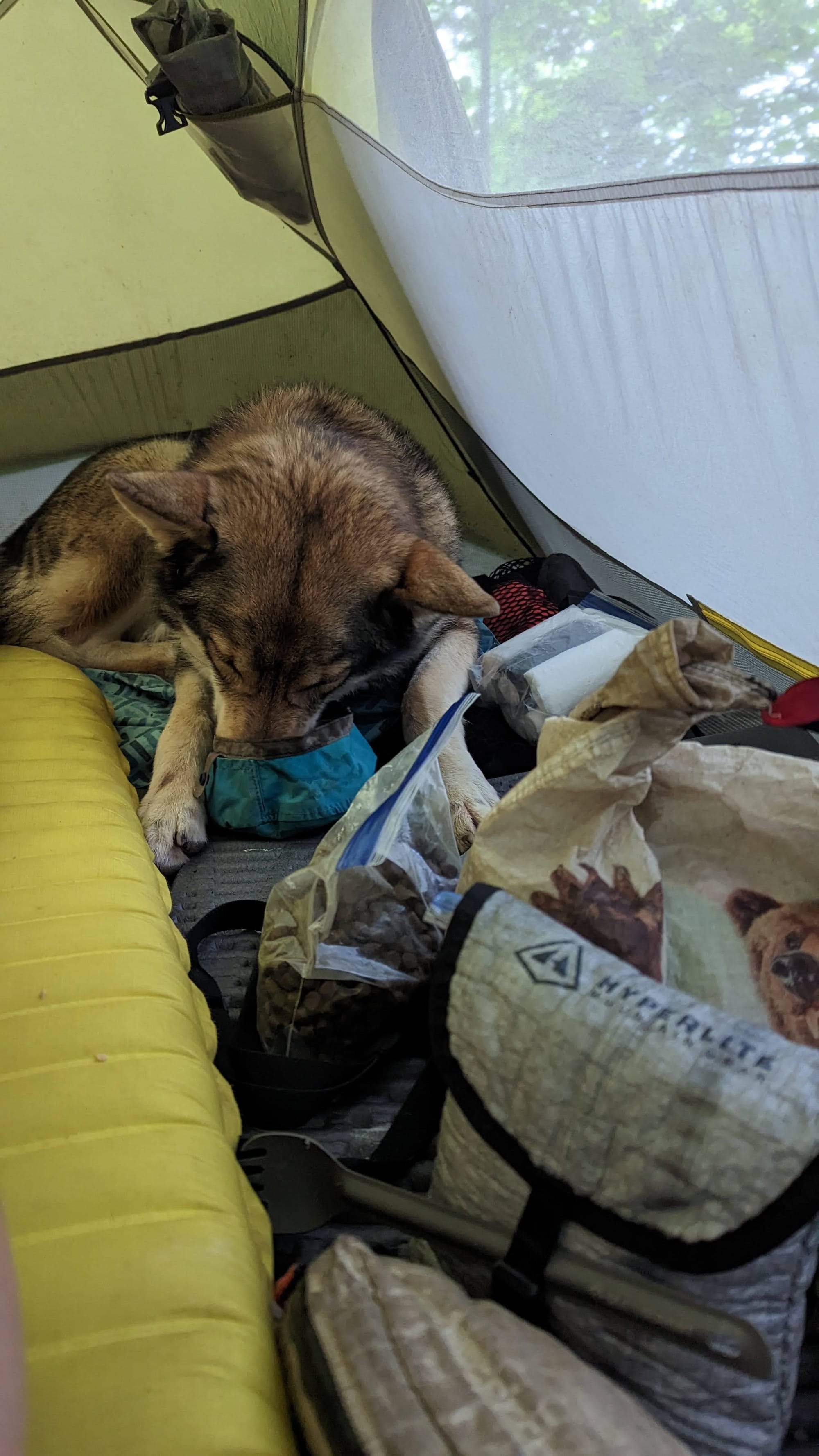
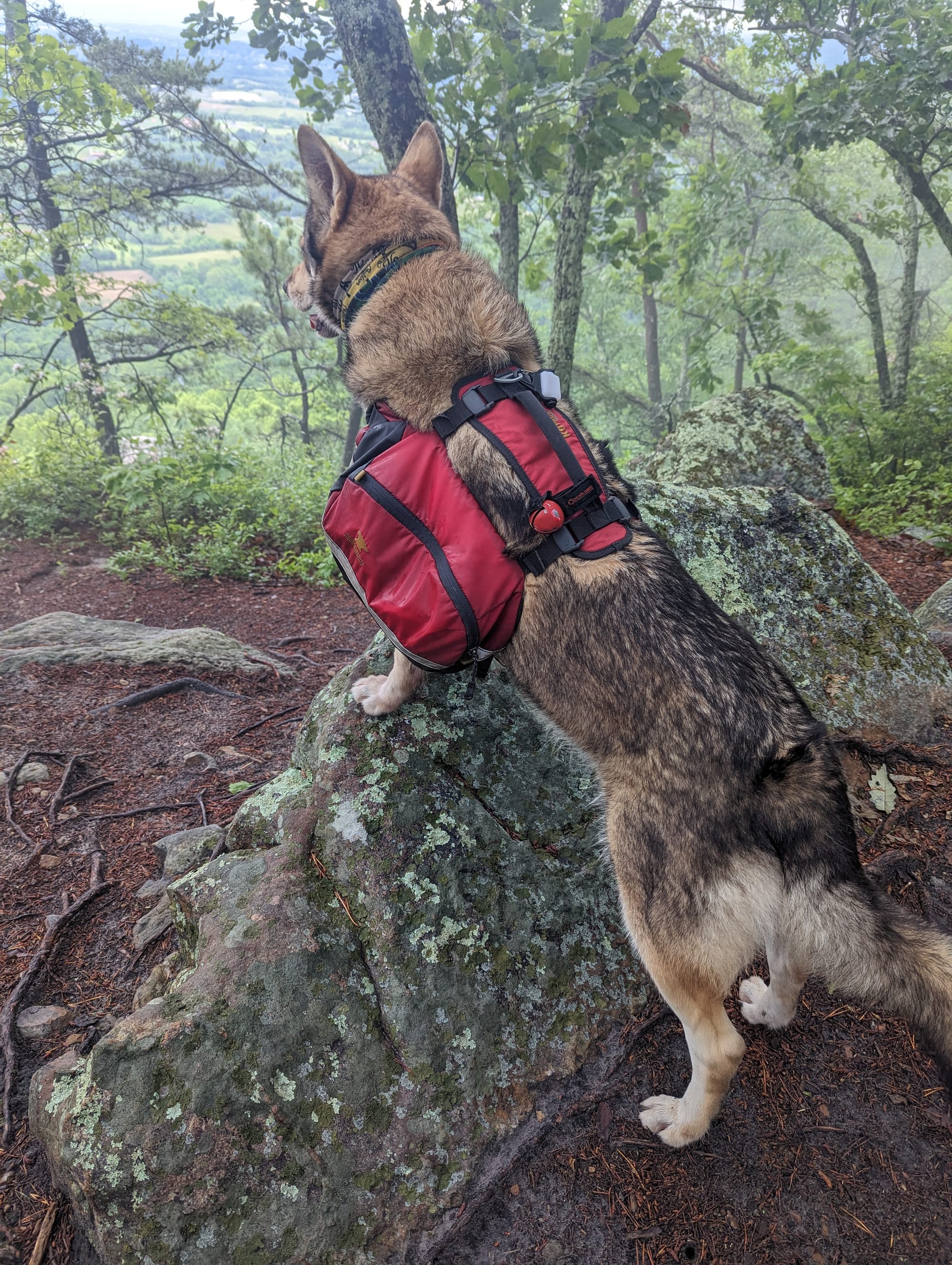
Akela was a small celebrity through much of this section. At hostels, she often ended up with extra eggs or bacon from hikers who were happy to share. She was still hiking well and one of the reasons we kept our pace measured.
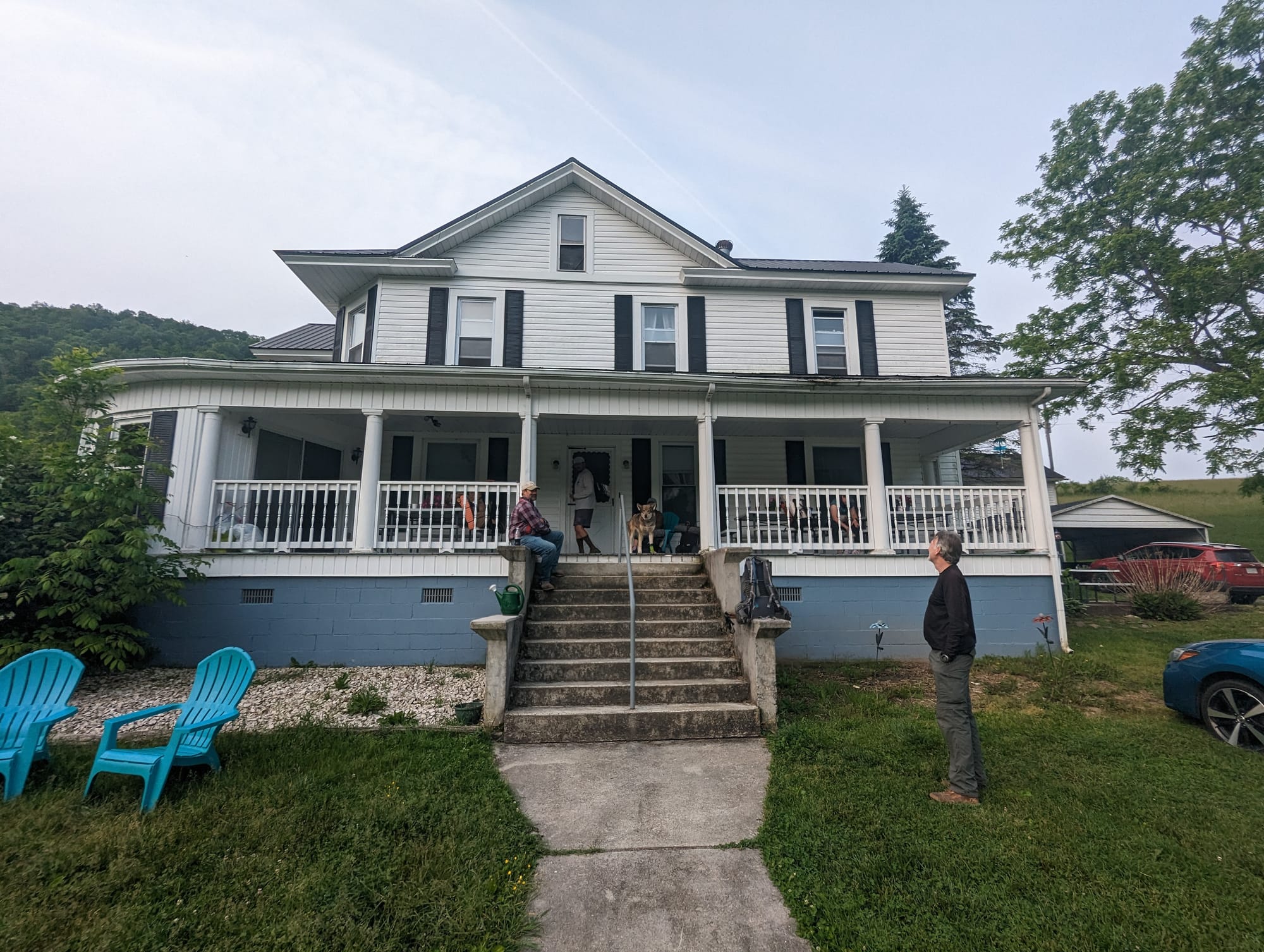
Virginia also brought more outside connection. We stayed with Lauren and saw her cabins in the mountains. We visited Sam’s childhood friend and stayed on their family farm. In Shenandoah, my aunt drove from Fredericksburg to spend the day with us. Those visits broke up the state in a way that made Virginia feel less like a long tunnel and more like a series of chapters.
The towns each had their own role. Damascus was the entrance. Marion and the Pearisburg area were practical resets. Glasgow gave us a work-for-stay at Stanimals, which made that stop stand out more than expected. Waynesboro and Front Royal were clean trail-town pauses before the final push toward Harpers Ferry.
By the time we reached Harpers Ferry, we could feel that we had made real progress. It was not the end, and it was not even halfway in the simple mileage sense people imagine, but it felt like a checkpoint. We had walked far enough to know we were no longer testing the idea of a thru-hike. We were in it.
⚡ TL;DR
- Section identity: the long state that kept changing
- Hardest part: staying patient while other hikers started chasing bigger miles
- Best part: Grayson Highlands, the Triple Crown, Shenandoah, and Virginia trail magic
- Most useful lesson: the trail did not need to be rushed just because we were getting stronger
- Place in the larger hike: where we started to lean in to being hiker trash
Final Takeaway
Virginia was long, but it was not flat in memory. It gave us misty highlands, open pasture, trail magic, rocky landmarks, national park miles, and the first real sense that the miles behind us were starting to mean something.