Appalachian Trail | VT & NH
Vermont and New Hampshire changed the scale of the hike.
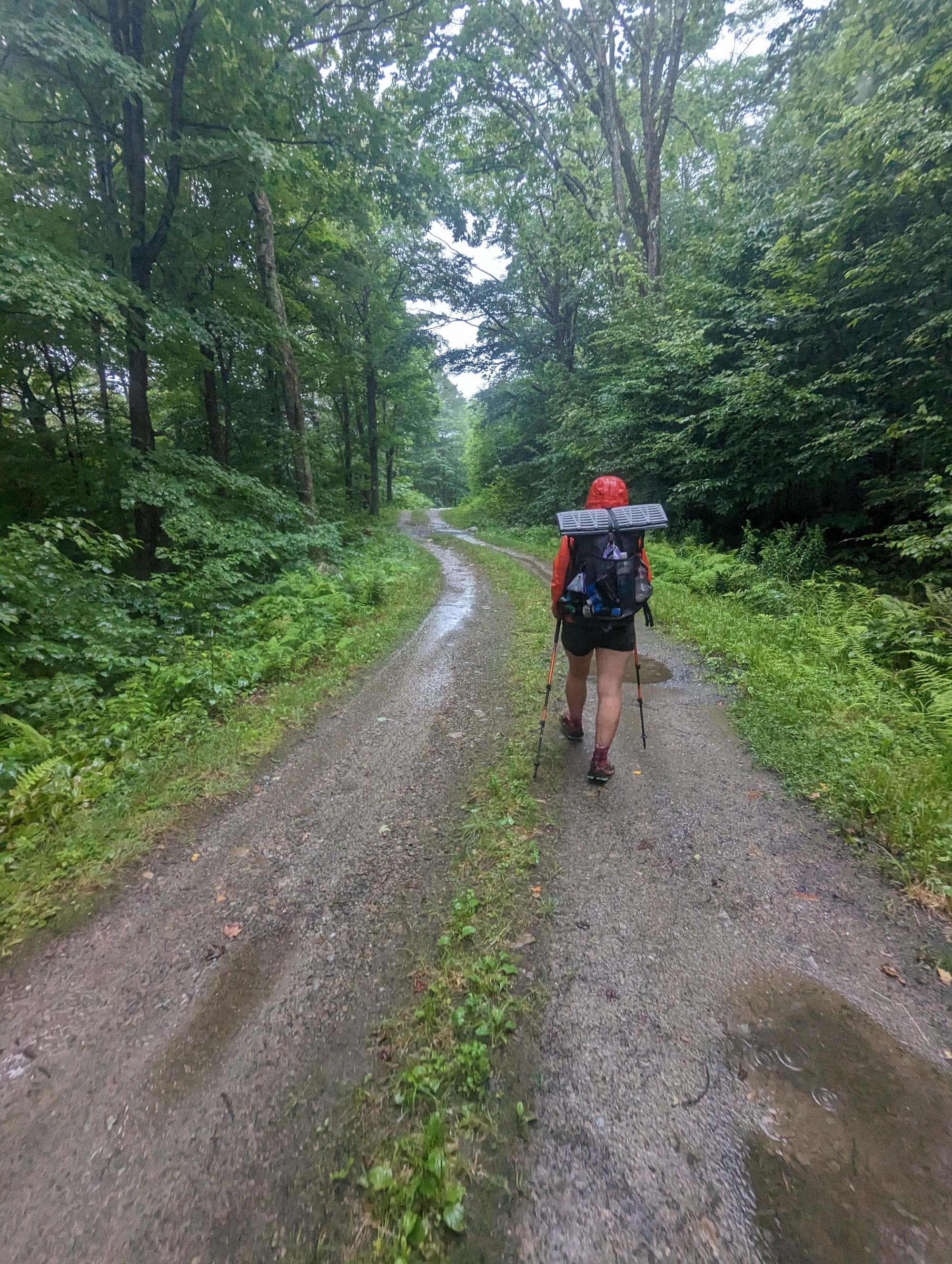
Connecticut and Massachusetts had been pleasant, settled, and manageable. Vermont was the first sign that the northern trail was going to ask for something different. The woods got wetter. The climbs got more direct. The tread got muddier. The trail felt farther from town, even when town was still reachable.
New Hampshire made the shift obvious.
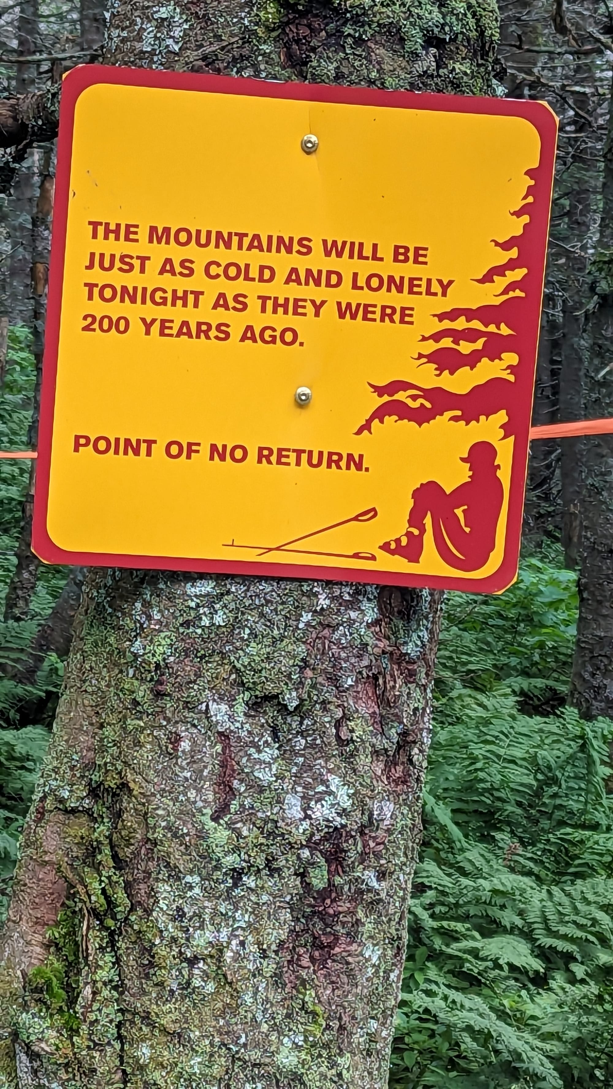
The White Mountains were not just another hard section. They changed how we measured a day. Mileage mattered less. Weather windows mattered more. A ten-mile day could require more attention than a twenty-mile day farther south. The trail was steeper, rougher, more exposed, and more rewarding.
This section felt like a welcome challenge. After the more civilized miles of southern New England, Vermont and New Hampshire brought the physical difficulty back, but with a much larger payoff.
🗺️ The Lay of the Land
- Section: Vermont & New Hampshire
- AT miles: Approx. 1,593–1,910
- States covered: Vermont · New Hampshire
- Direction: Northbound
- Landscape: Green Mountains · White Mountains
- Terrain: mud · roots · steep climbs · alpine ridges · exposed summits
- Section role: the northern difficulty shift before Maine
Regional Notes
Vermont: The Green Mountain Transition
Vermont brought the trail into the Green Mountains, and the difference showed up immediately underfoot.
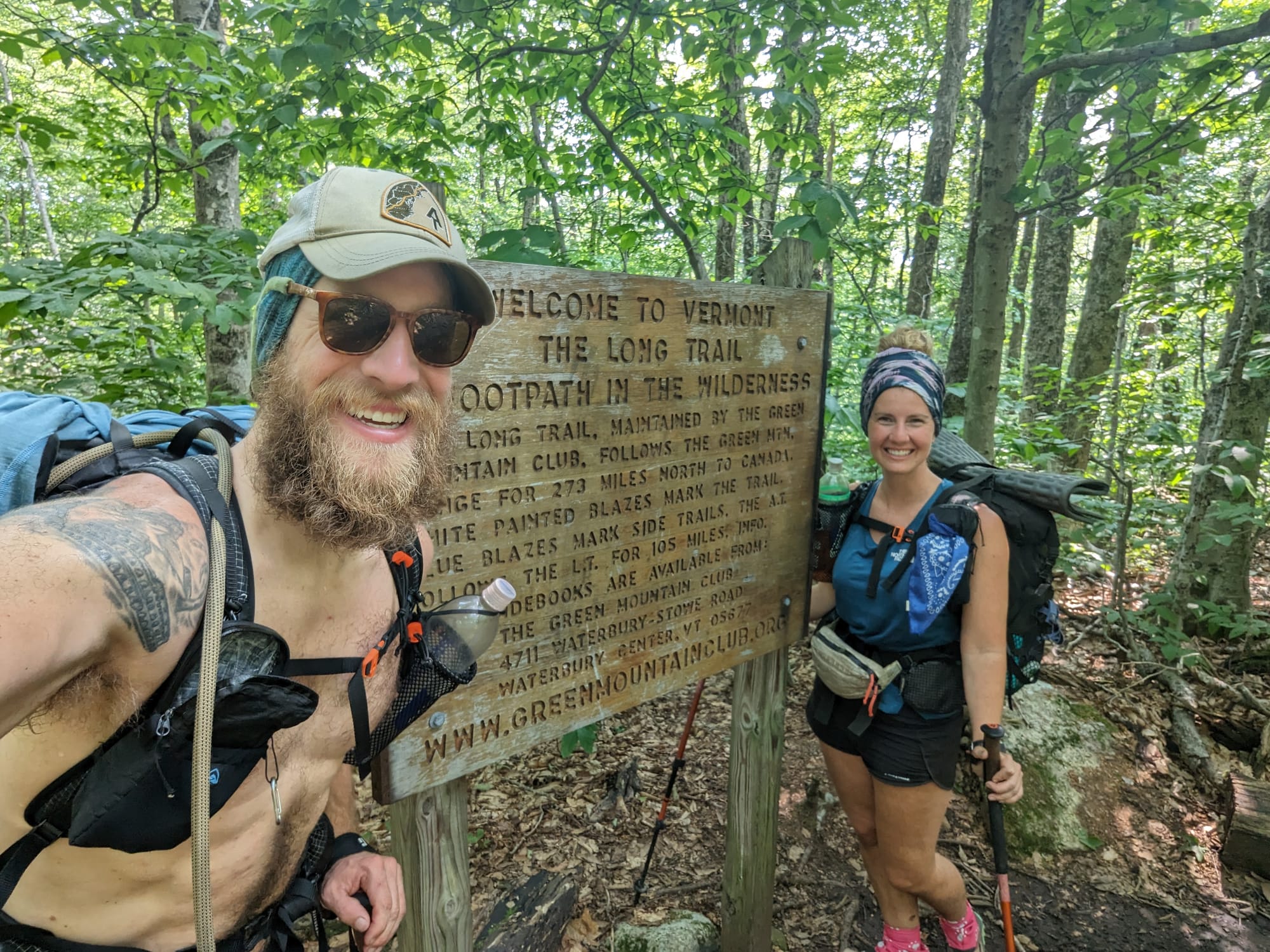
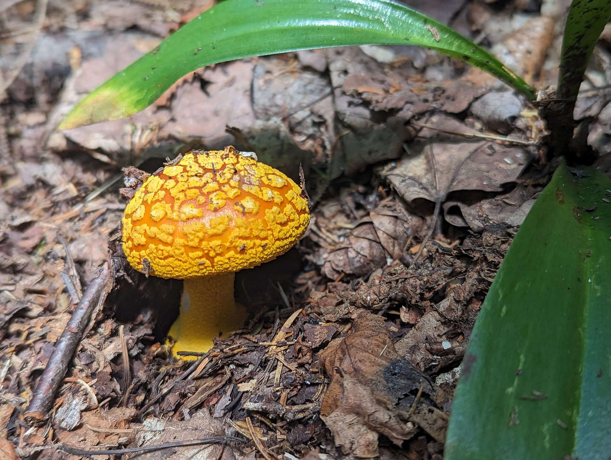
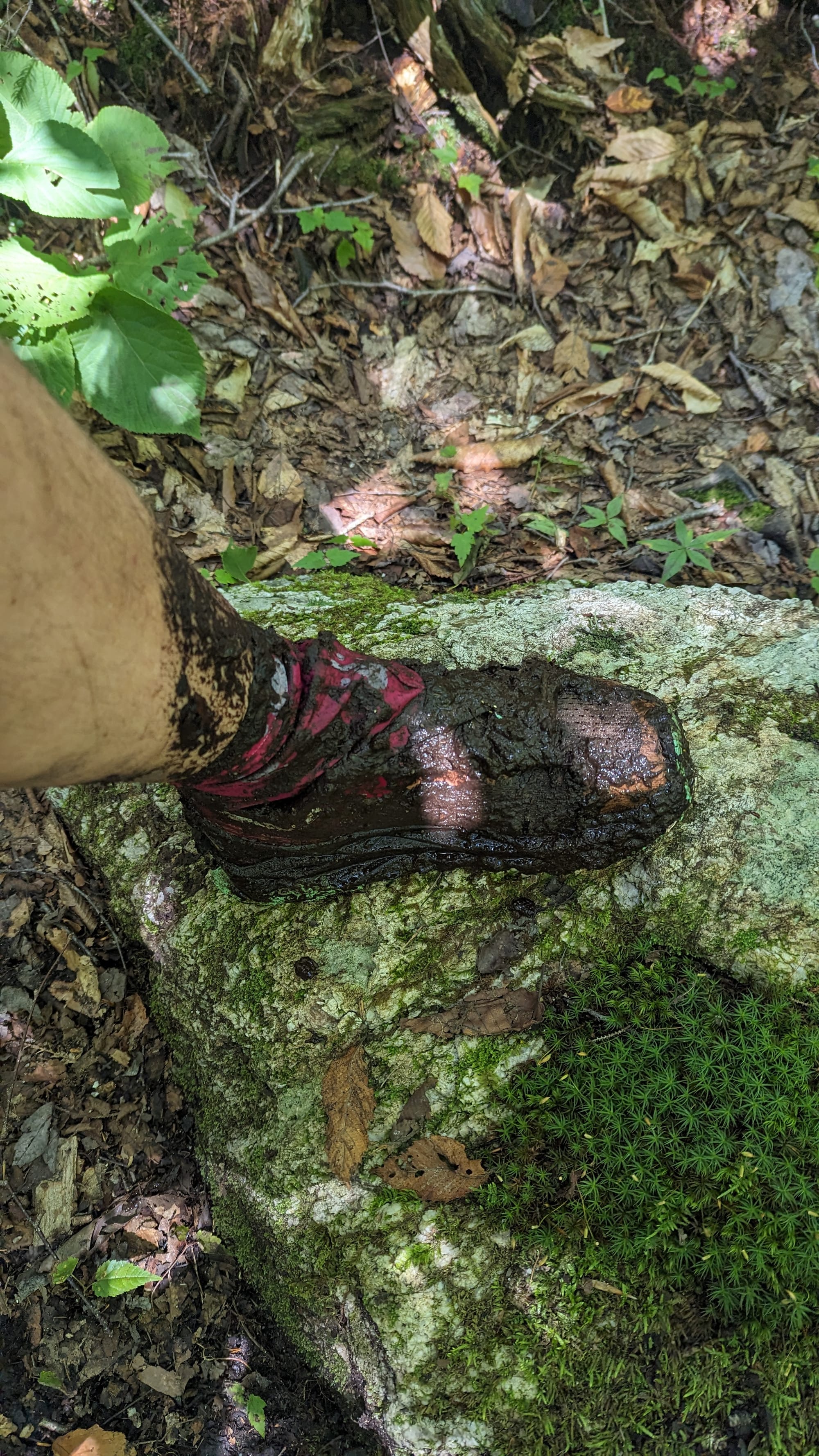
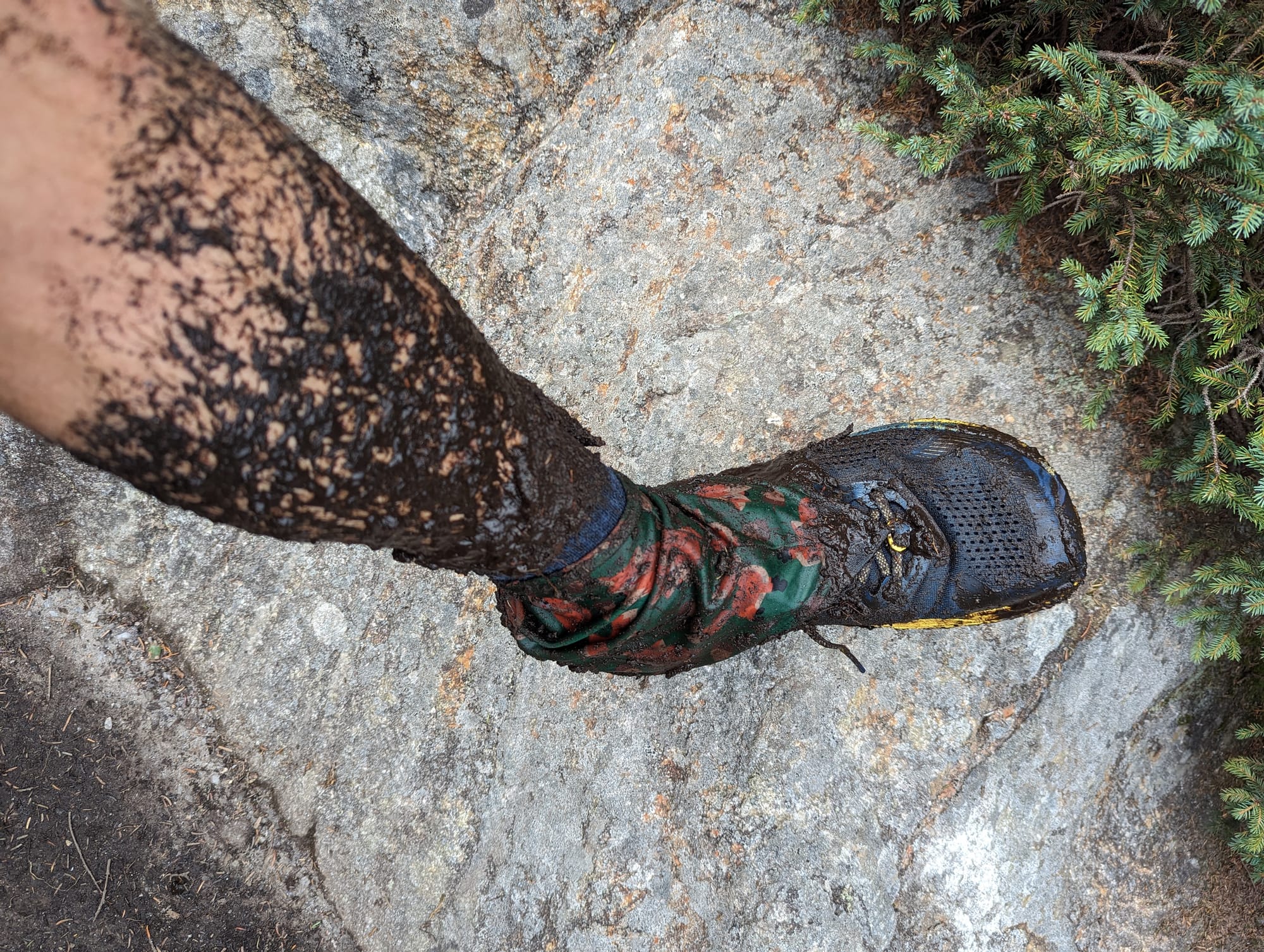
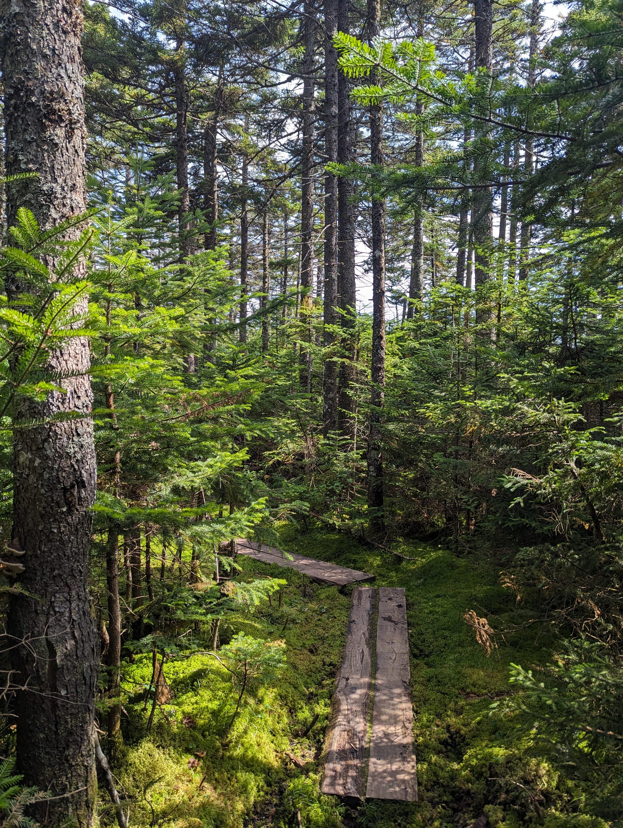
The state line itself felt almost staged. The trail climbed through a green tunnel, reached the large wooden welcome sign, and directly in front of it sat a wide, deep pile of mud. It was a fitting entrance into Vermud.
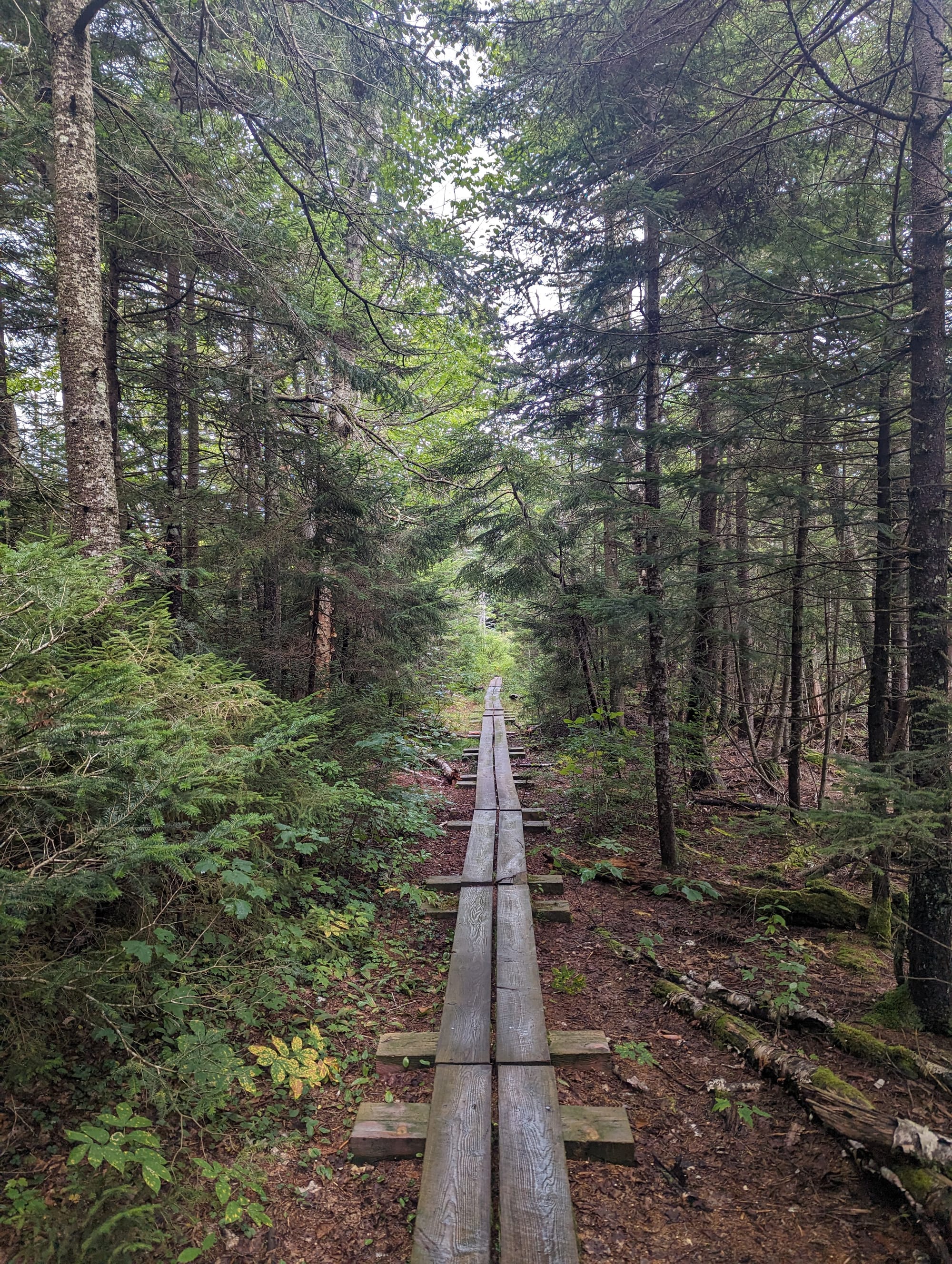
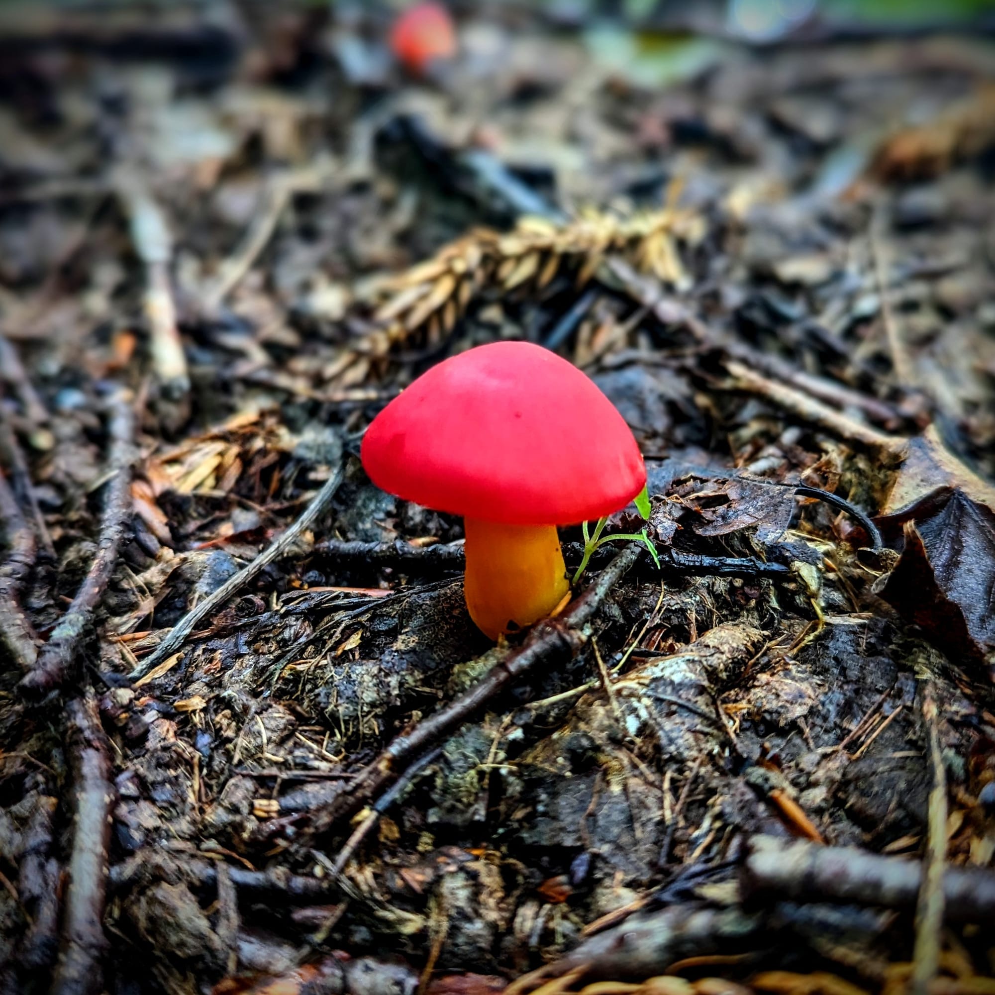
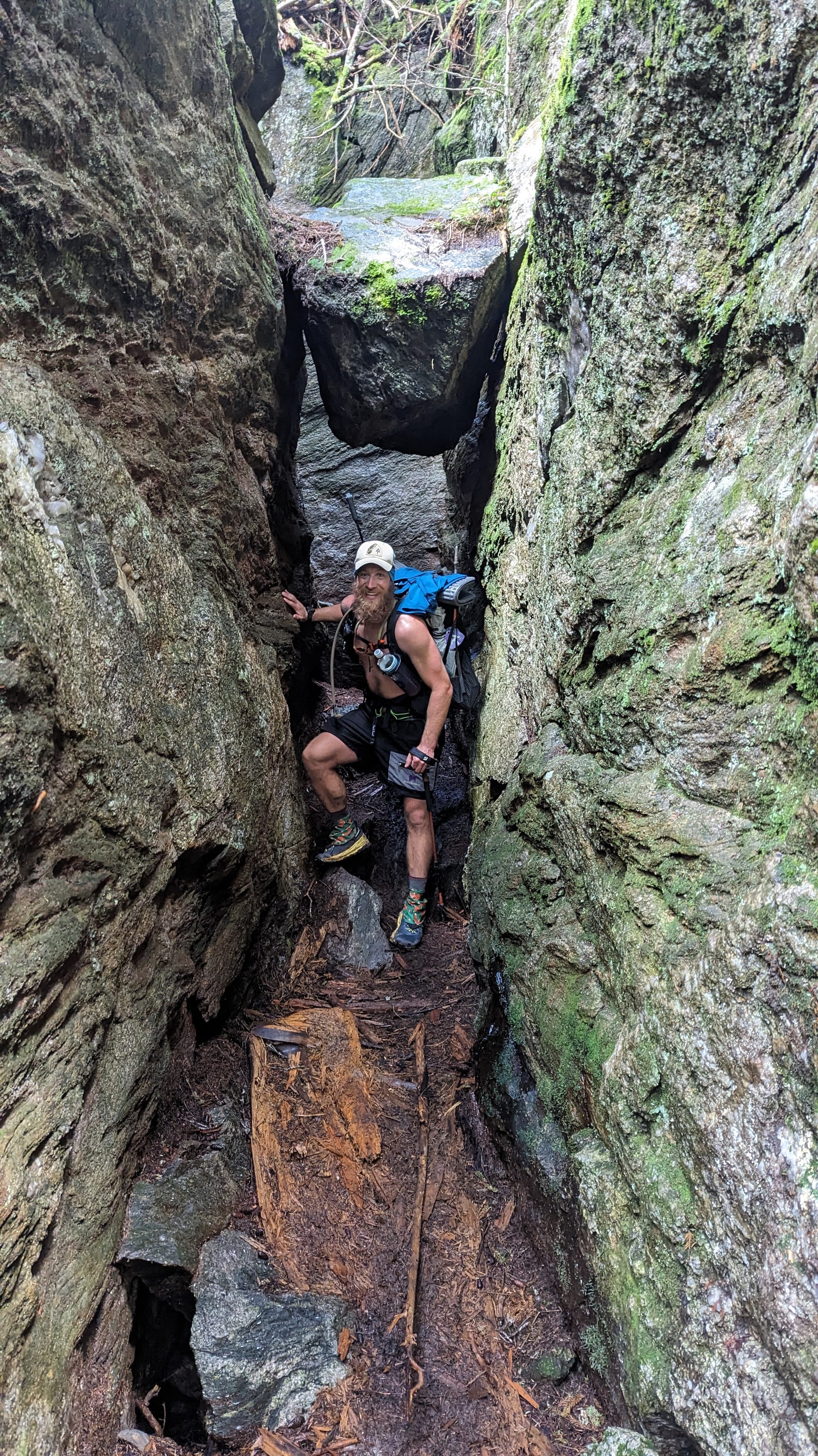
The Green Mountains are not as exposed as the White Mountains, but they changed the hiking. The climbs were more direct than what we had been walking through in Massachusetts. The trail felt wetter, more enclosed, and more rooted in deep forest. Switchbacks were less common. The route often seemed to point uphill and stay there.
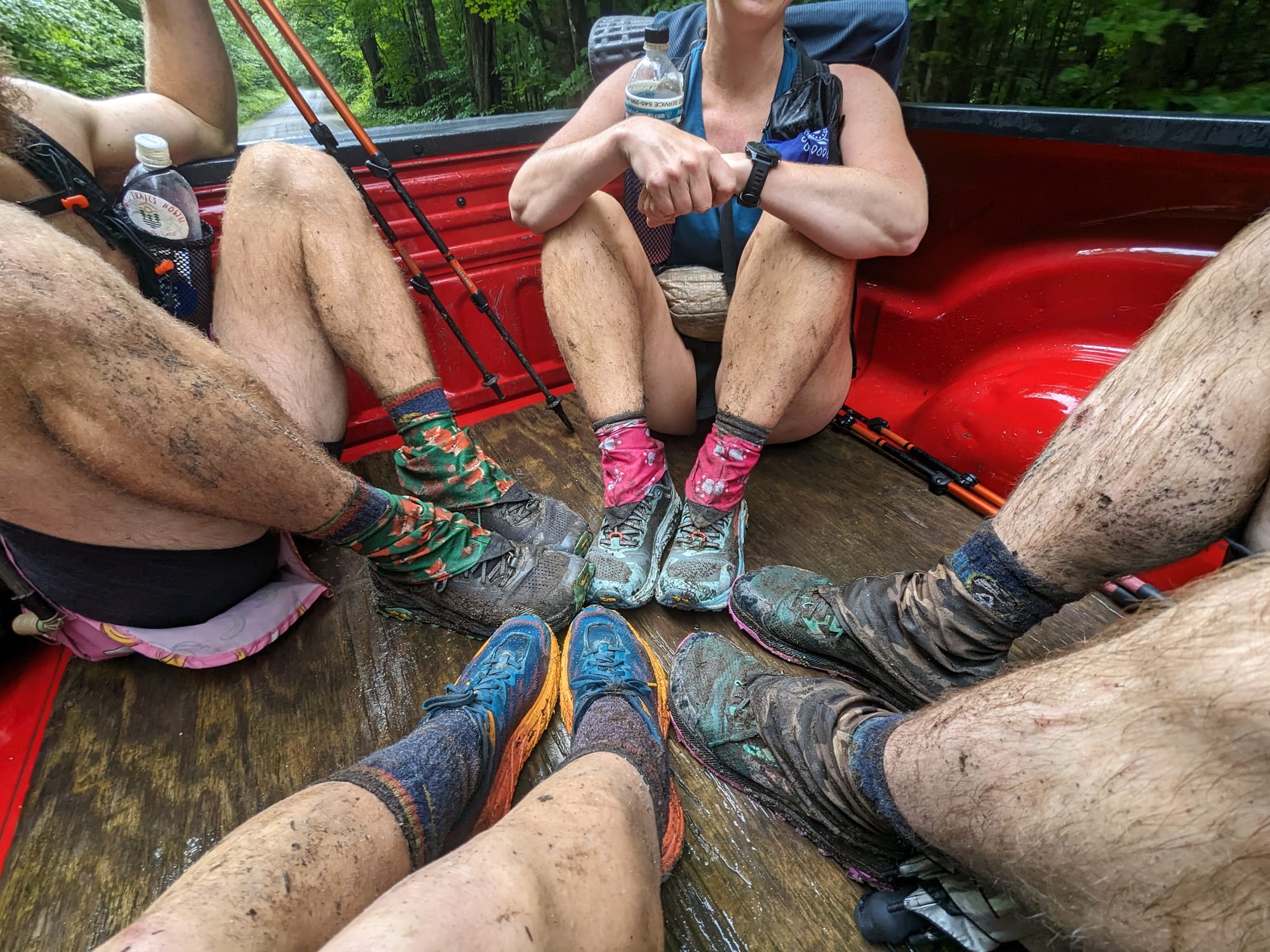
Mud became part of the terrain, not just a temporary condition. It was sticky, deep, and hard to read. A step could sink to the ankle or keep going toward the knee. Pulling a foot back out sometimes felt like negotiating with the trail to keep your shoe.
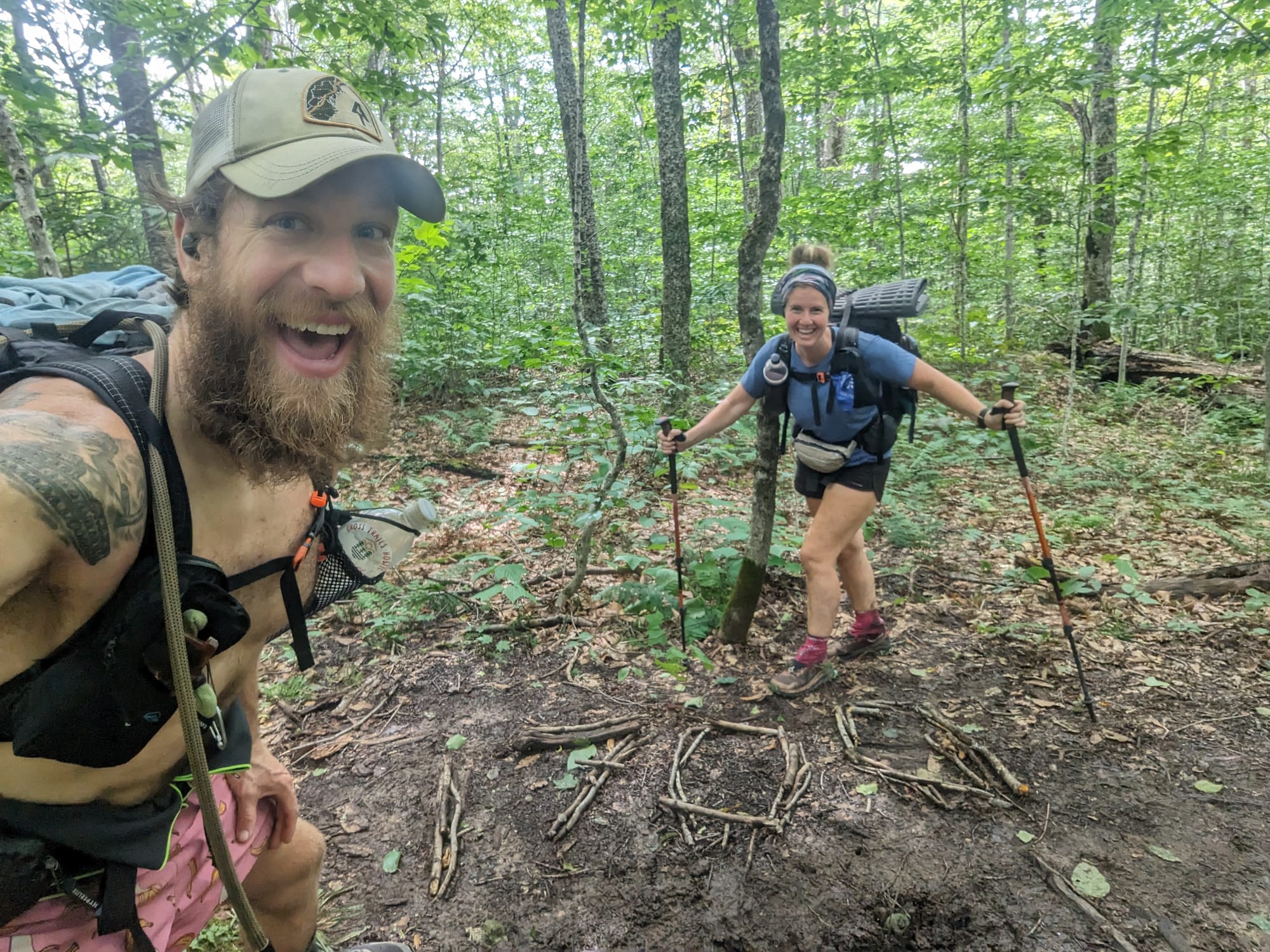
For around a 100 mile stretch, AT hikers and Long Trail hikers shared the same path. That brought a new group of people into the trail corridor, many of them fresh, excited, and still carrying the kind of pack weight most AT hikers had already learned to send home. It made the trail feel social in a new way, but it also reminded us how far we had come.
Vermont was still enclosed forest for much of the walk, but it was no longer background forest. The mud, roots, green tunnel, and Long Trail culture gave it a distinct identity.
New Hampshire: The White Mountains Arrive
New Hampshire changed the terms again.
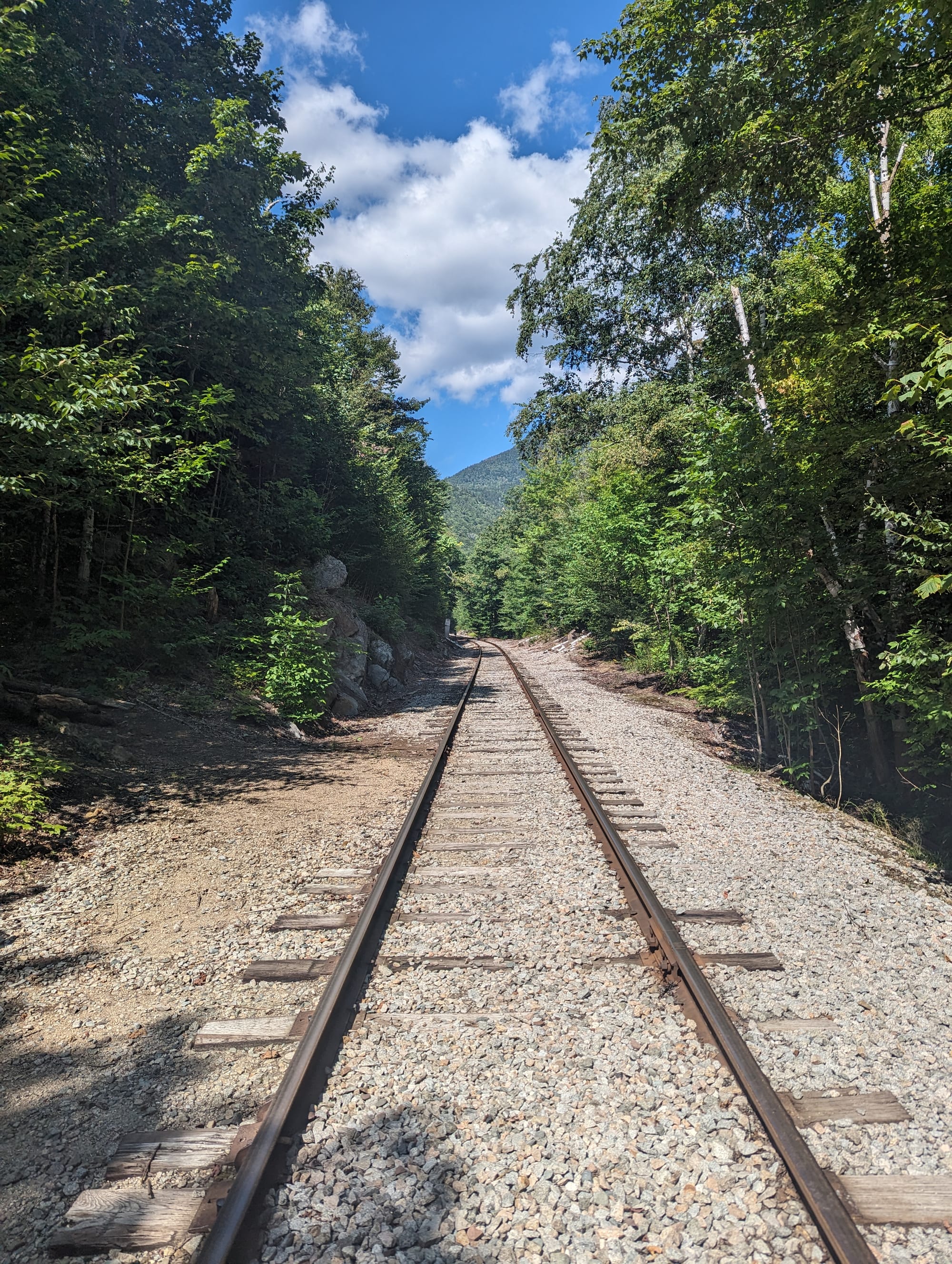
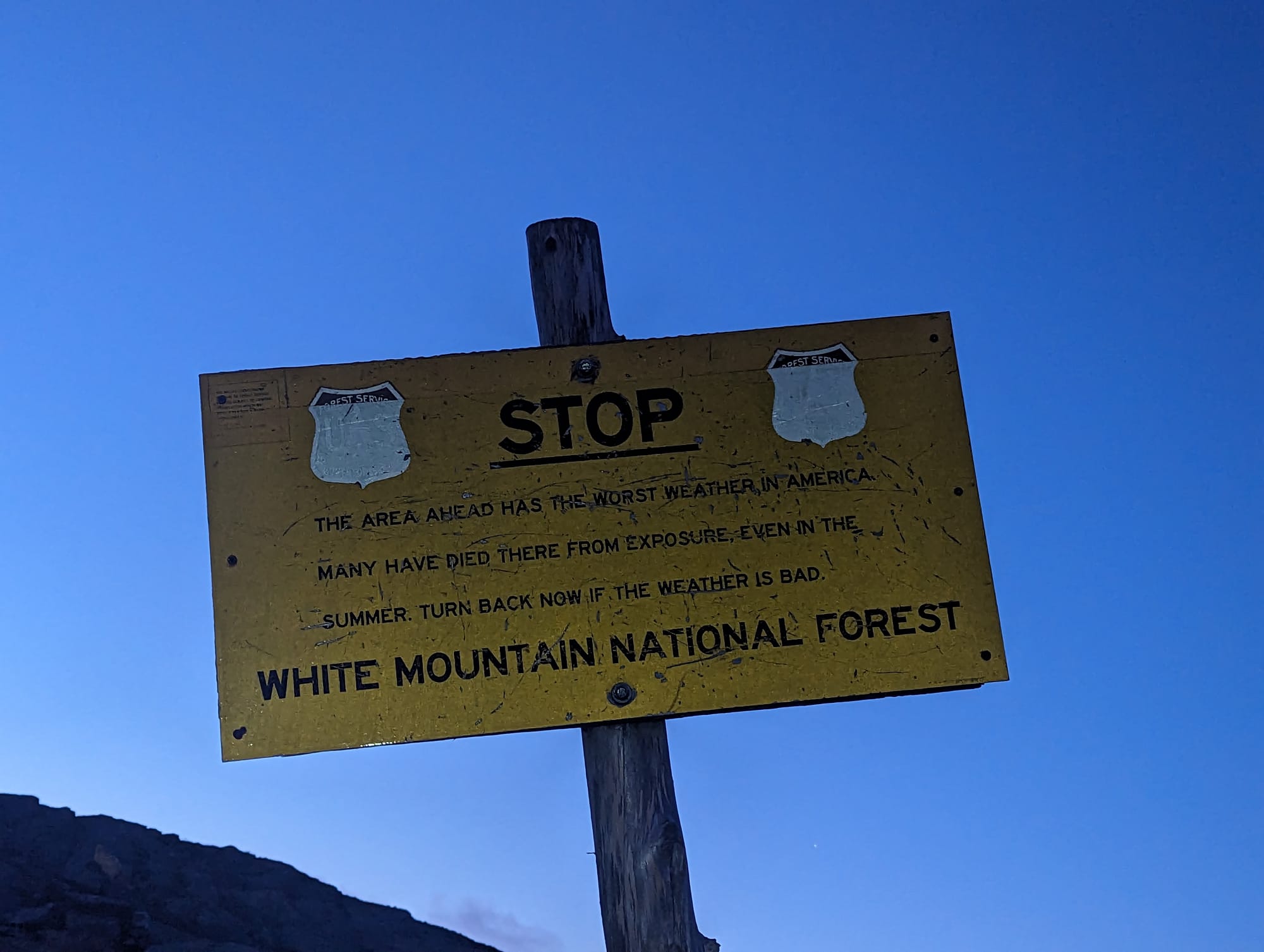
The White Mountains are steeper, rougher, and more exposed than anything the AT had crossed in a sustained way before this point. The trail climbs directly, descends directly, and often makes progress feel slow even when the effort is high.
This was where mileage stopped being the cleanest measure of a day. A short day through the Whites could take longer, hit harder, and require more planning than a much longer day in the Mid-Atlantic. The tread was rockier. The climbs were sharper. The weather mattered more.
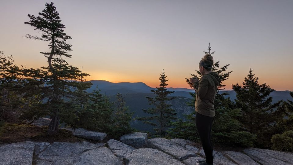
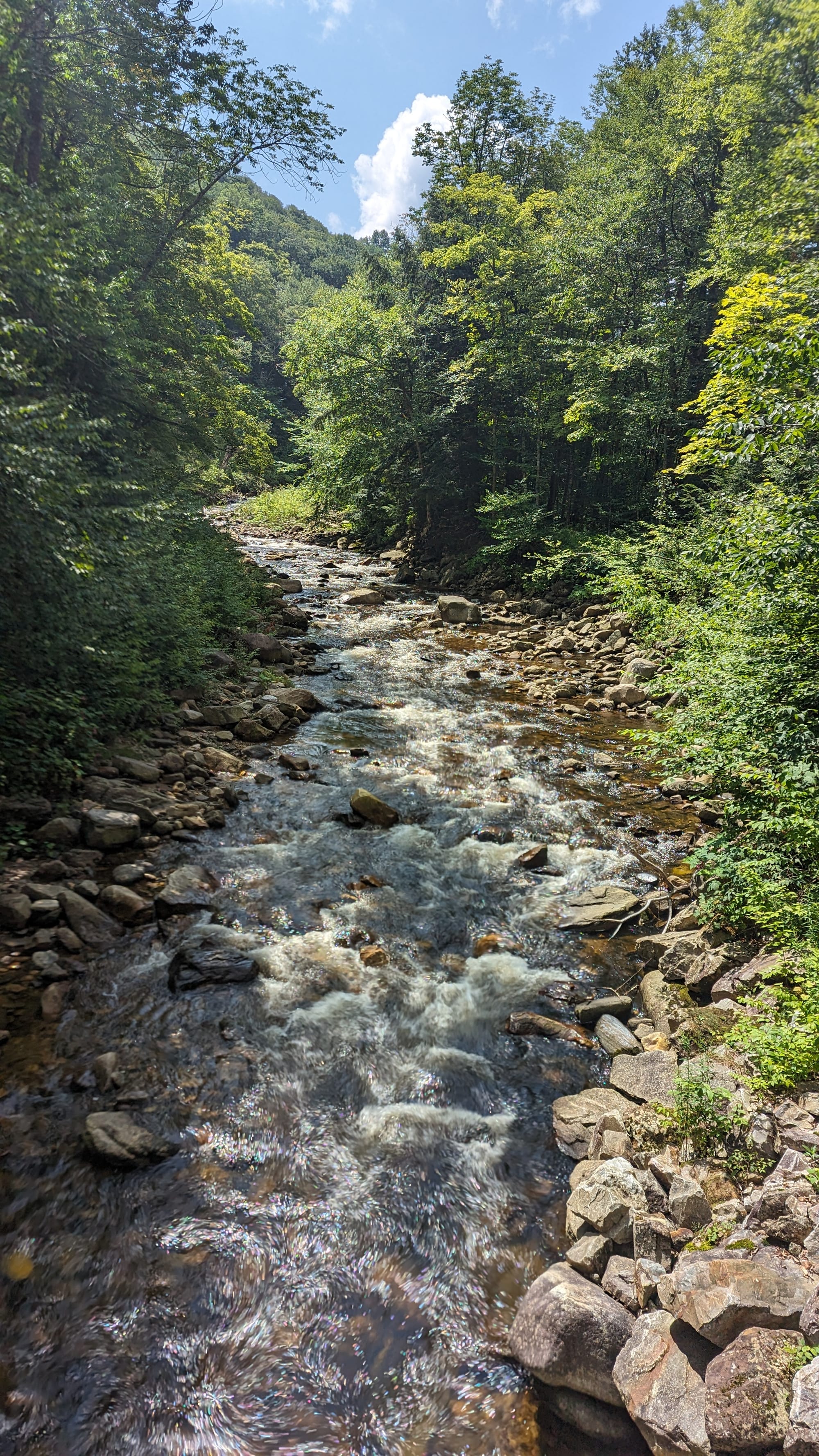
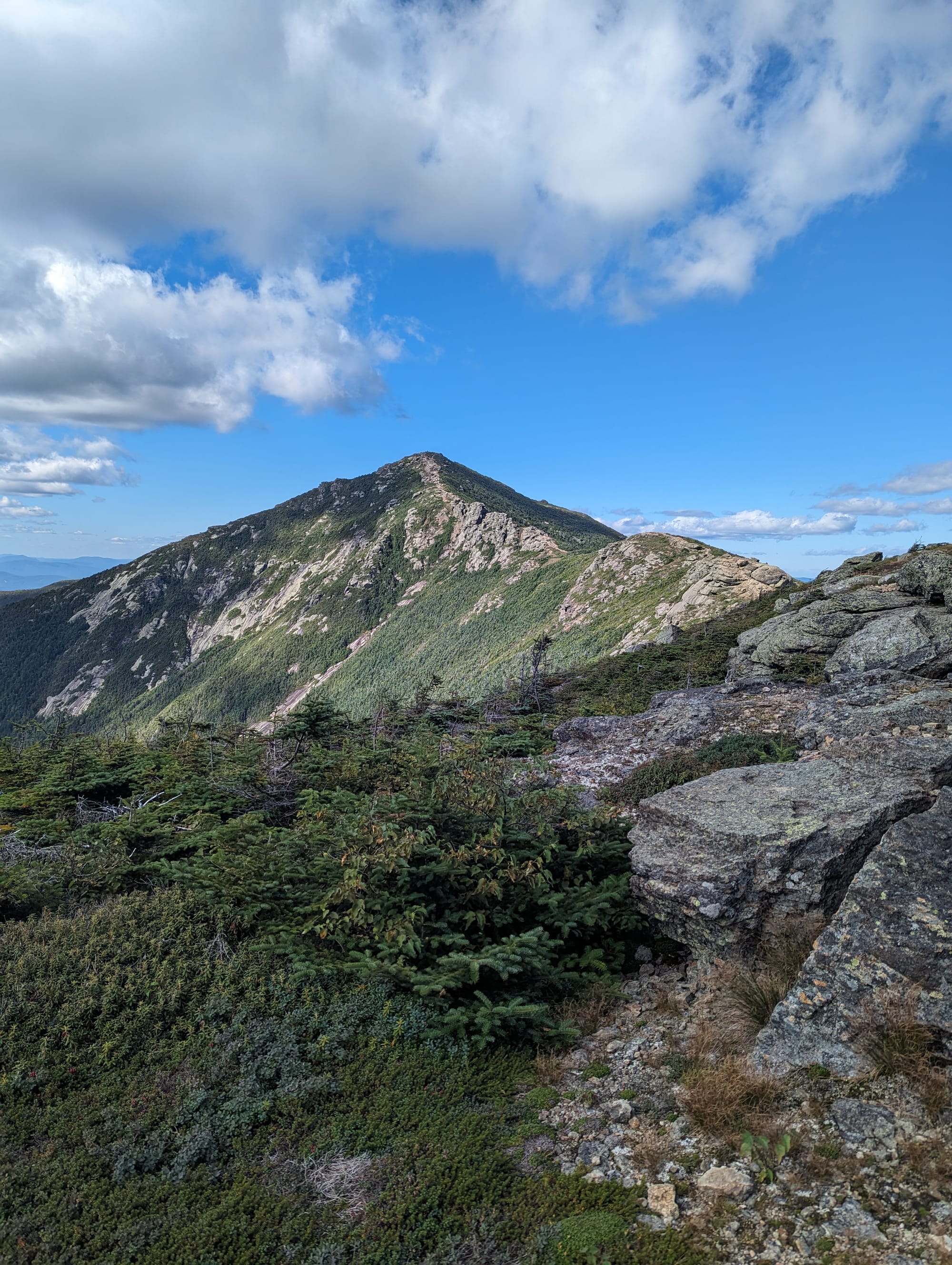
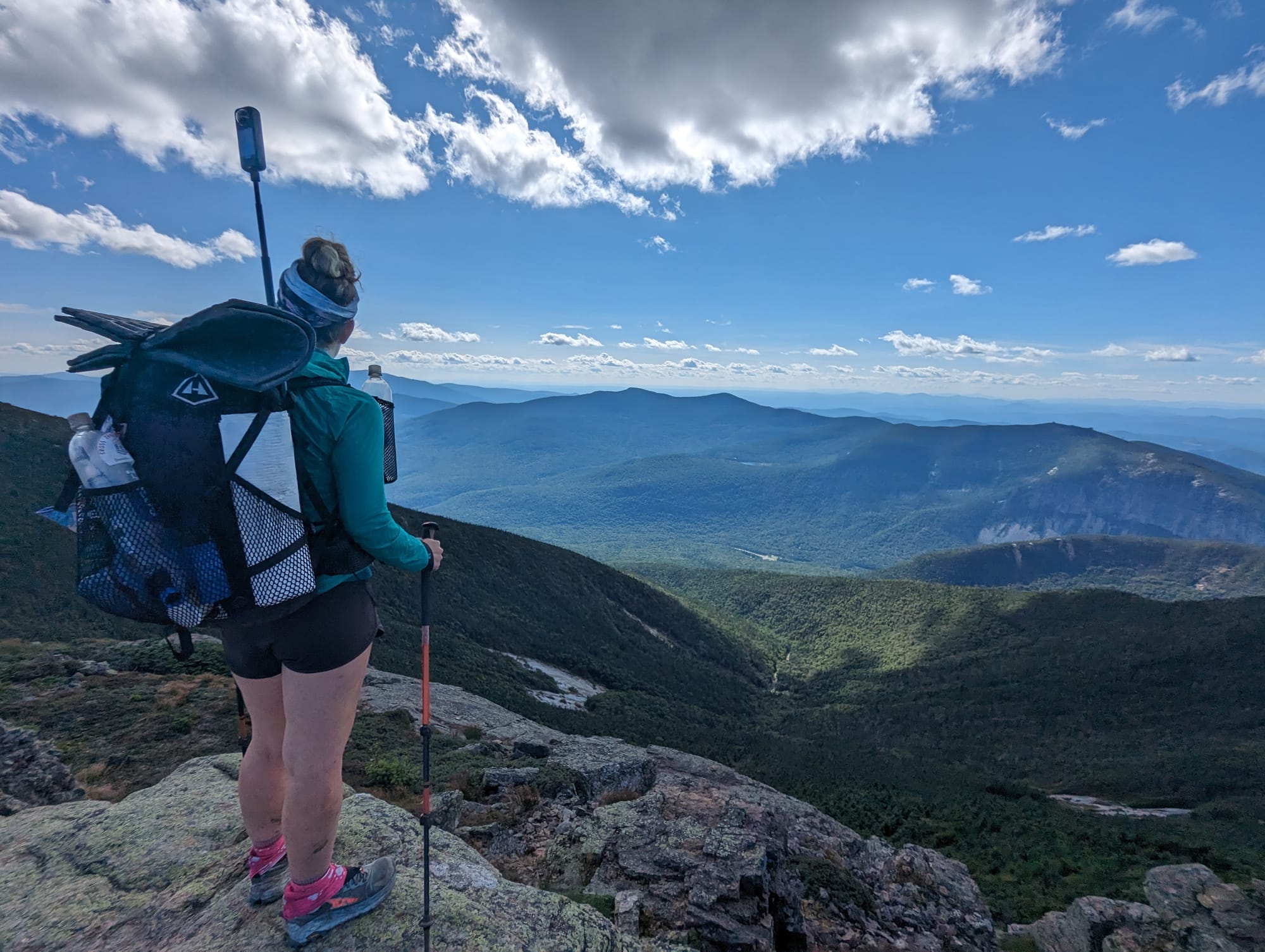
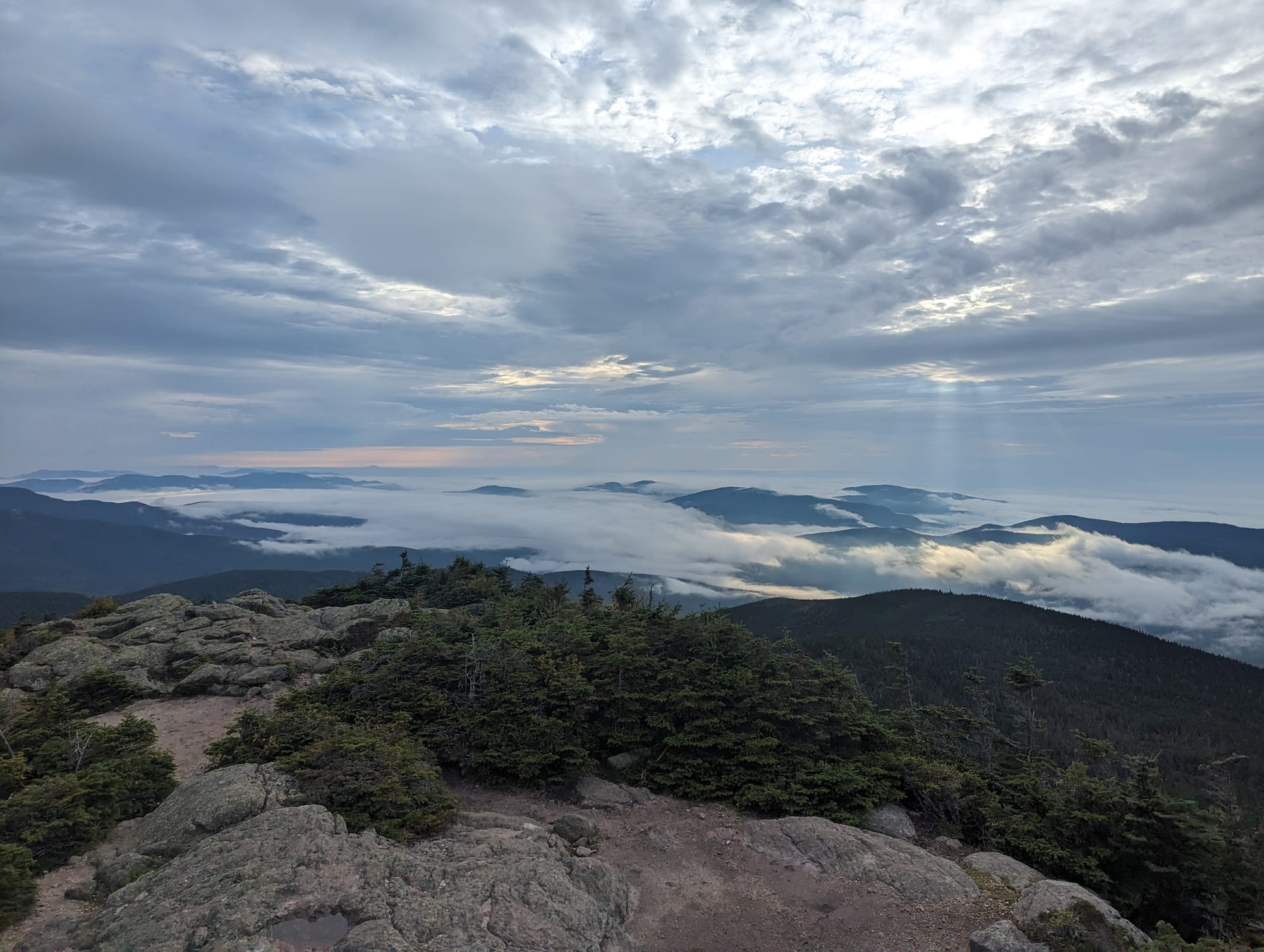
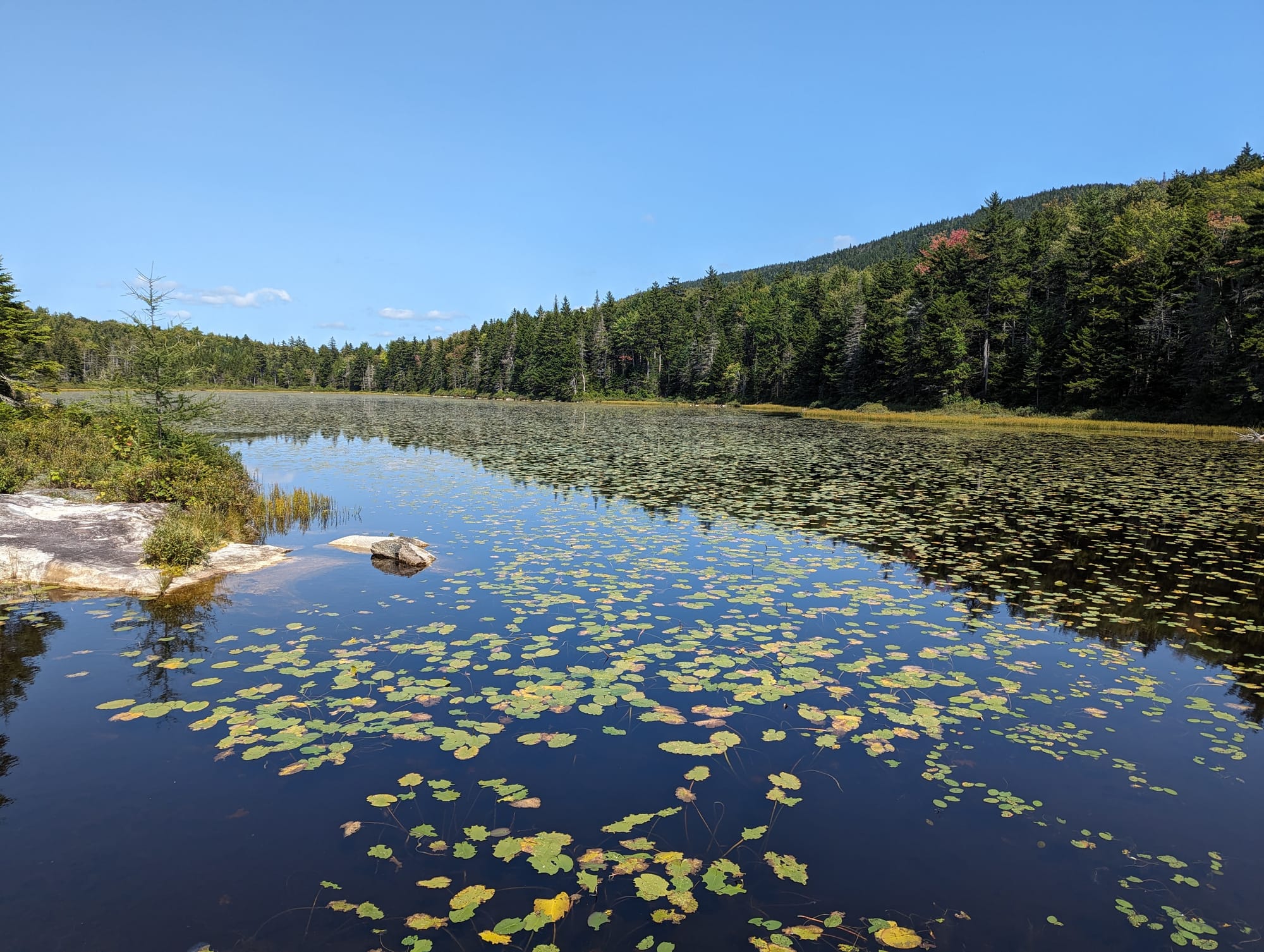
The landscape also opened up. The Kinsmans, Franconia Ridge, the Presidential Range, Mount Washington, and the Wildcats all brought a different kind of walking. Above treeline, the AT stopped feeling like a green corridor and became a mountain route with long views, exposed ridges, wind, rock, and weather moving visibly across the range.
The hut system added another layer. In the Whites, the trail is not just passing through wild terrain. It is also moving through one of the most built-up and heavily used mountain systems on the AT. Huts, day hikers, peakbaggers, weather windows, road crossings, and steep backcountry all overlap.
New Hampshire was harder, but it also felt earned. Hundreds of miles had led to this kind of hiking, and the reward matched the effort.
🥾 On the Trail
- Mileage pattern: slower miles · longer days
- Water: generally reliable
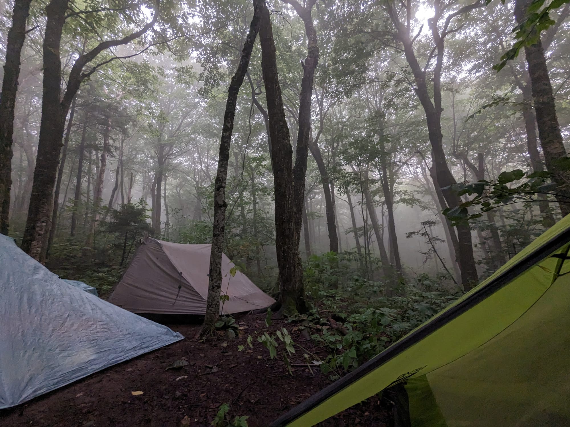
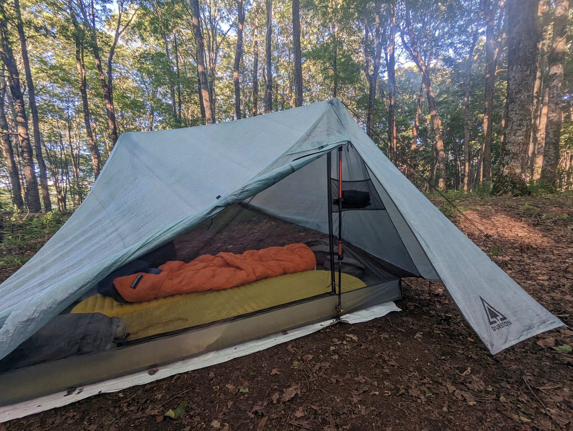
- Shelter rhythm: shelters, tenting, hostels, stealth camping, and White Mountain huts
- Trail towns / resupply points: Manchester Center · Rutland · Killington · Hanover · Lincoln / North Woodstock · Gorham
- Crowd level: thru-hikers mixed with Long Trail hikers, weekend hikers, peakbaggers, and hut traffic
- Best remembered for: Vermont mud, the Long Trail overlap, Moosilauke, Franconia Ridge, the Presidentials, Wildcats, and the Whites living up to the hype
Trail Rhythm
Vermont started with mud and a new social mix.
Crossing into the state felt memorable because the trail announced itself so clearly: green tunnel, wooden sign, mud pit. It was funny, but it was also accurate. Vermont was wetter and messier than the states before it.
The Long Trail overlap gave the section a different kind of energy. We were suddenly sharing the trail with hikers who had just started their own trip. After months on the AT, we looked a little feral and felt more experienced than we realized. We helped with a few shakedowns and watched fresh hikers look at us the way we had probably looked at thru-hikers months earlier.
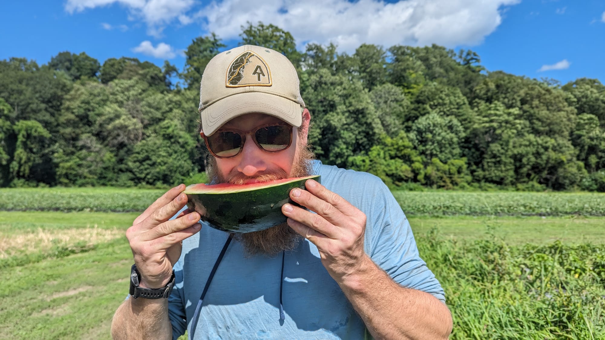
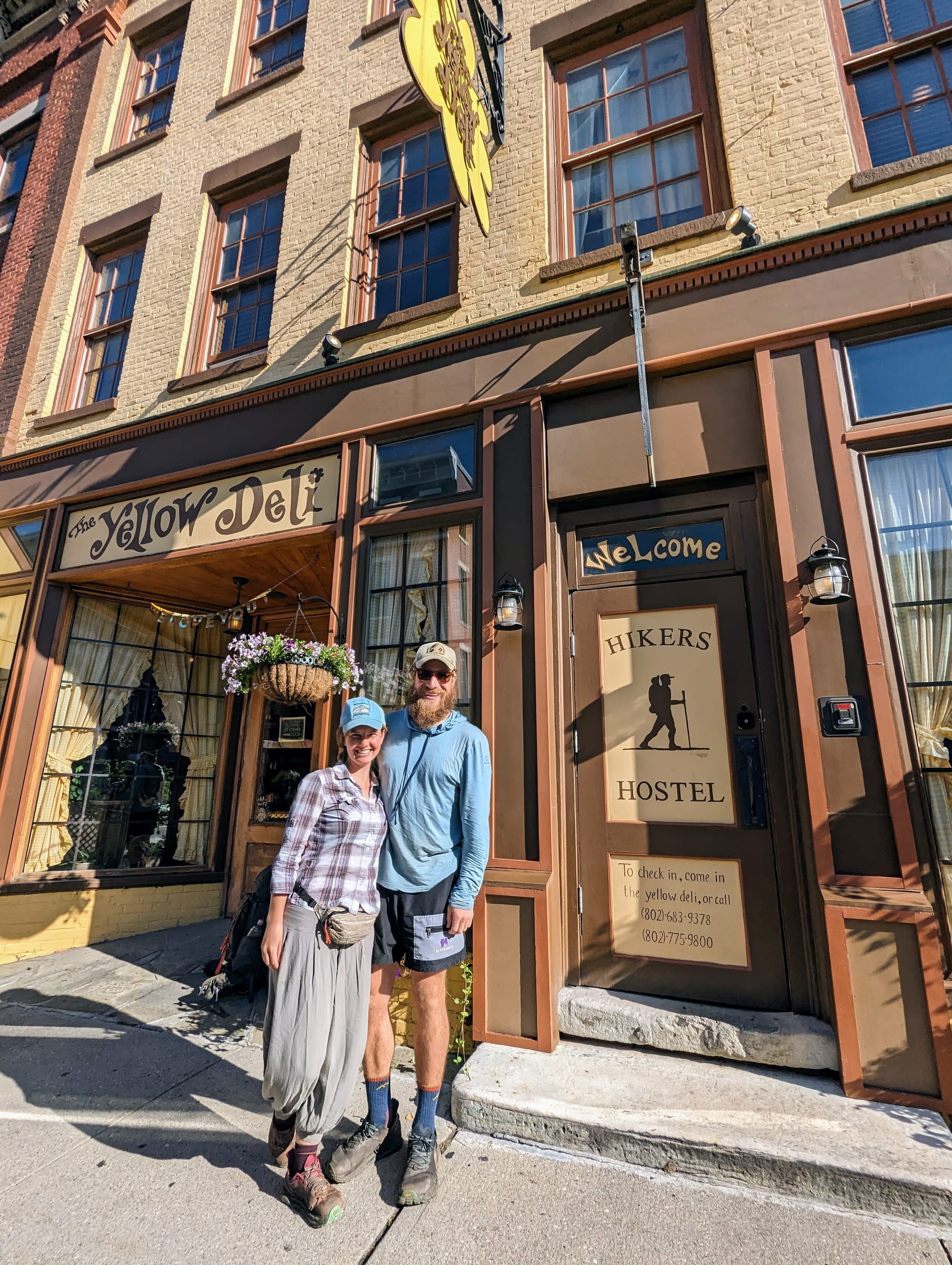
Rutland became one of the more memorable stops. We stayed at the Yellow Deli Hostel, a place with a complicated reputation on trail, then spent a day working on their farm. We helped trim garlic, moved vegetable bins, met people from the community, and ate a lunch built from food grown there. The watermelon we ate straight from the vine still stands out.
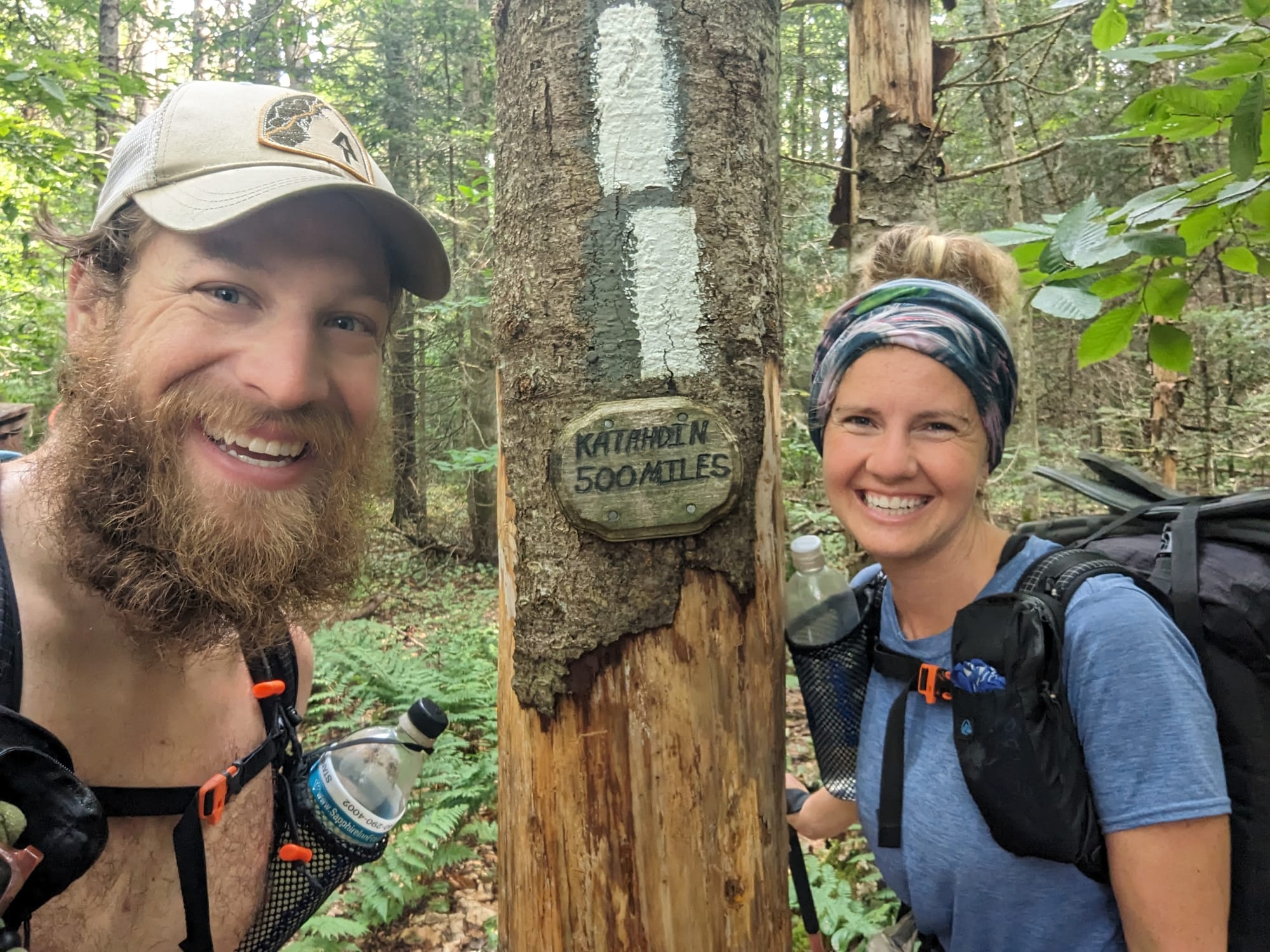
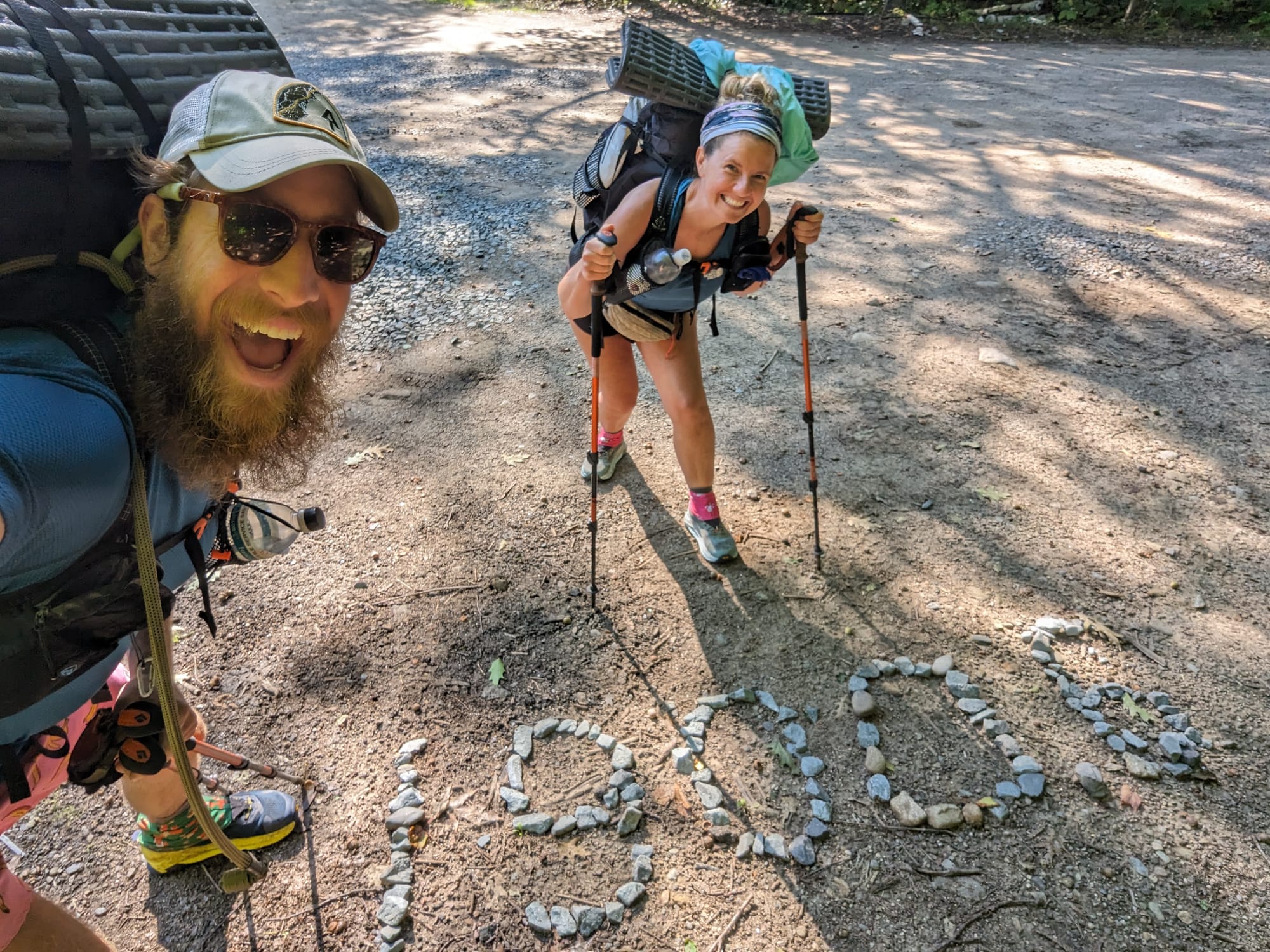
Vermont was also where we met Bubbles. She started hiking with us there and stayed with us all the way to Katahdin. That changed the shape of the final part of the trail. We had crossed paths with plenty of hikers by then, but this was the first time someone joined our orbit and stayed in it to the end.
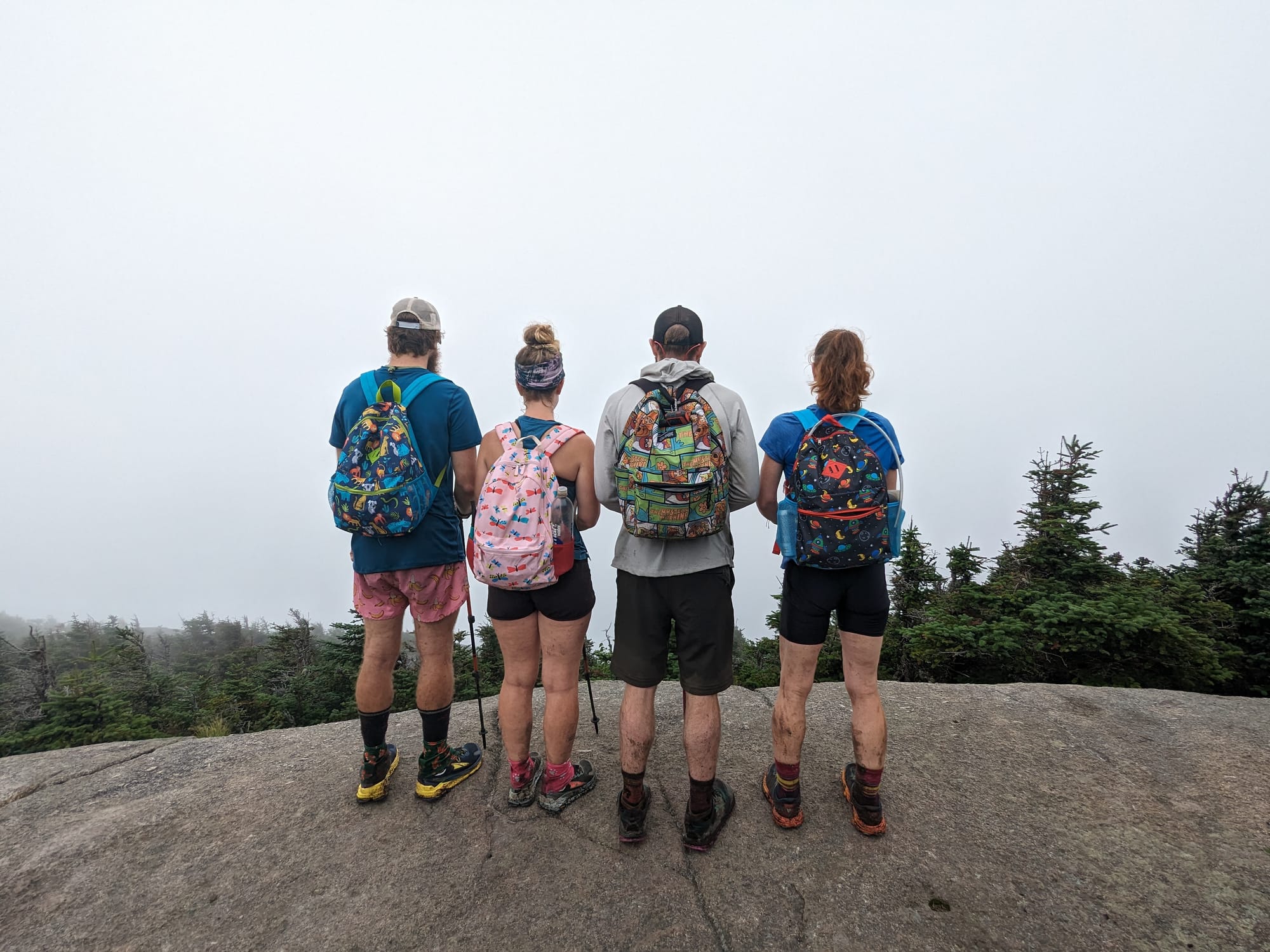
New Hampshire felt like a milestone right away.
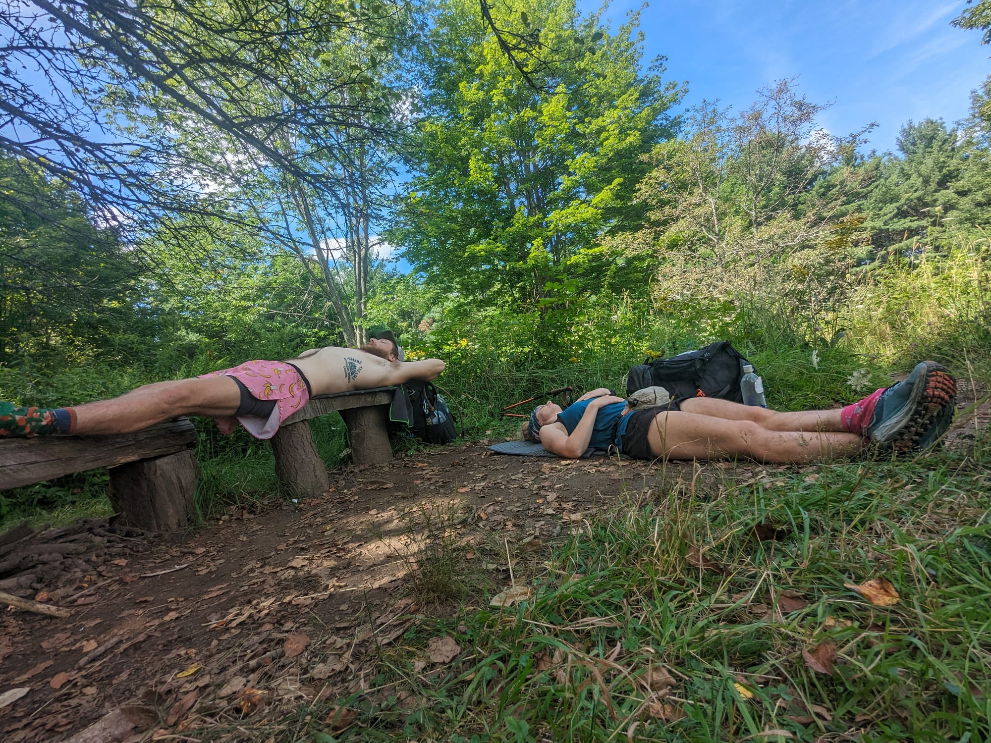
It was not the end, but it was close enough that the finish started to feel more real. We also knew the trail was about to get harder, so we slowed down on purpose. Not because we were falling apart, but because we wanted to do this section well.
The hostels became part of the strategy. We stayed at Hiker’s Welcome, the Notch Hostel, and the Colony Ski Club. We used town stops and weather windows more carefully than we had in earlier states. In the Whites, it made sense to wait for good weather rather than force a ridge walk into a bad day.
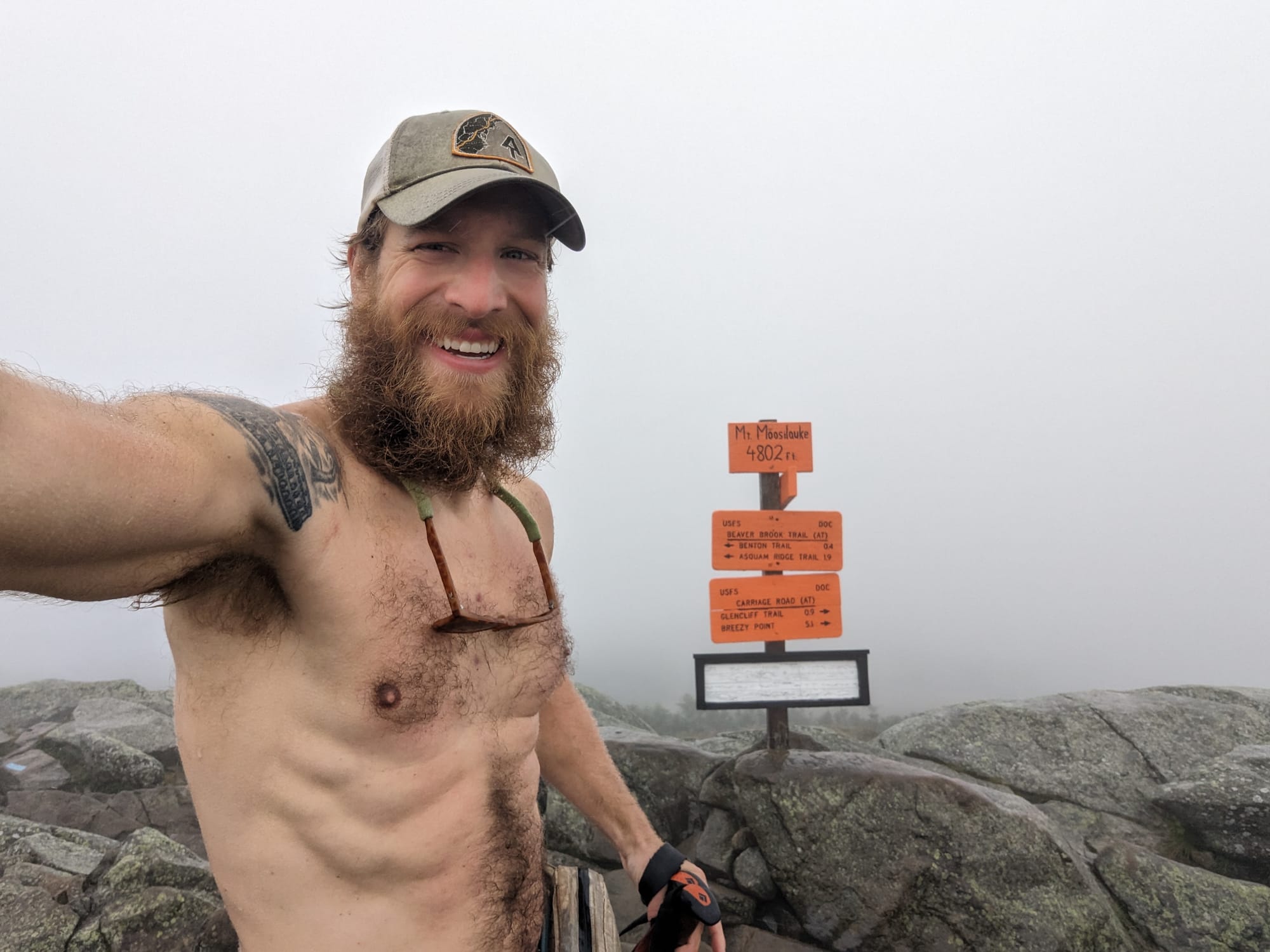
Moosilauke was the first real signal.
We left Hiker’s Welcome and climbed into mist and cloud. By then, I had stopped hiking in a shirt most days because it would be soaked within minutes. So I went up Moosilauke in pink banana shorts, no shirt, and a big beard, passing bundled hikers coming down in rain shells, hats, and layers.
They looked at me like I had lost my mind. They were probably not wrong.
At the top, we were completely whited out. No view. Just fog, wind, and the feeling that New Hampshire had made its point.
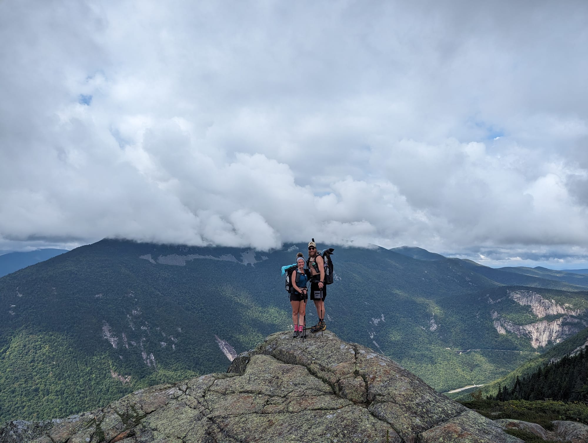
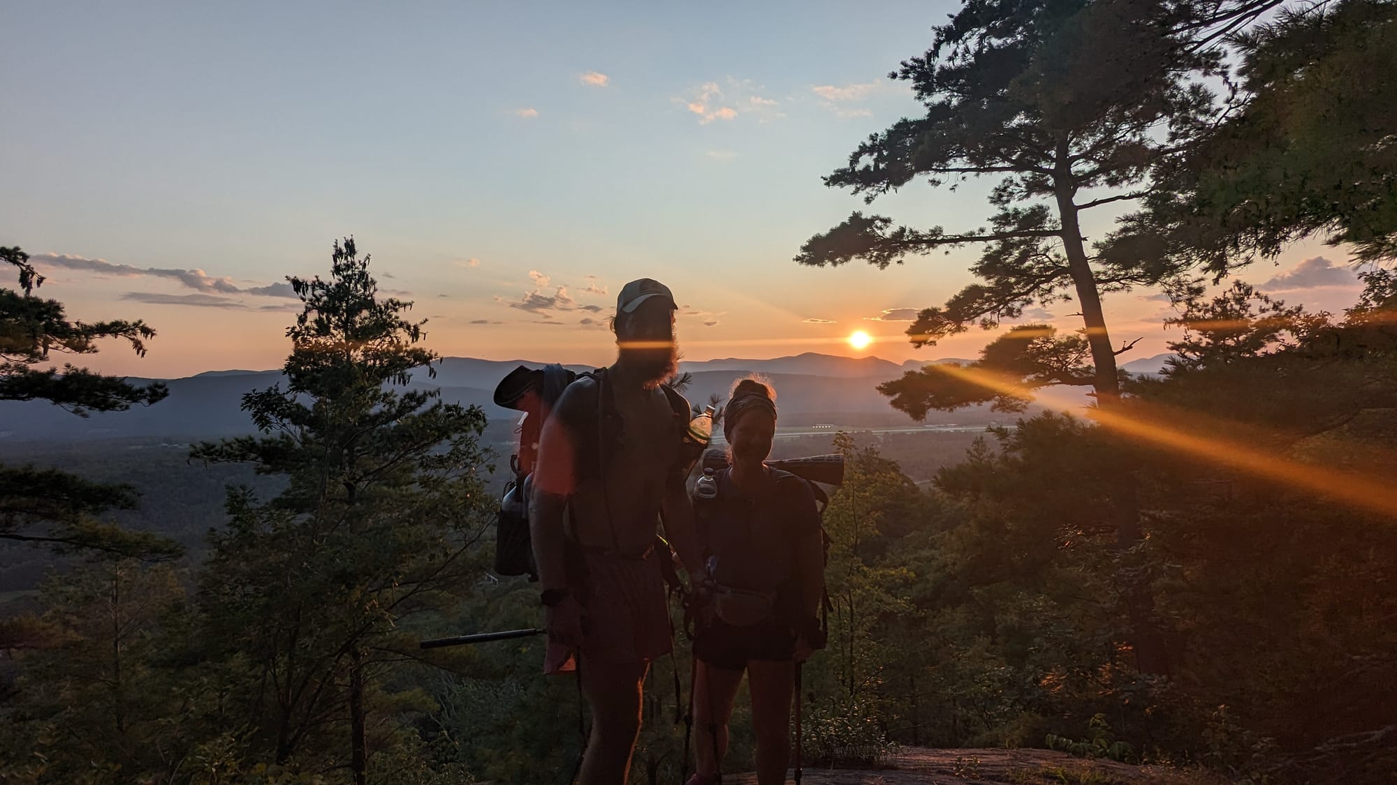
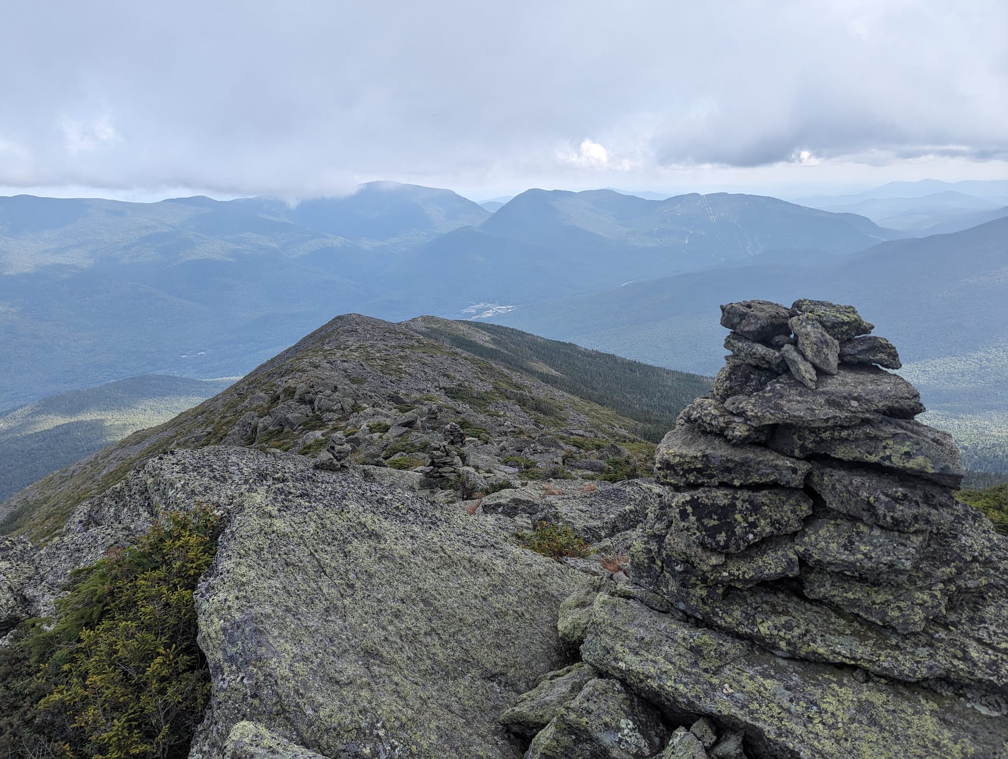
The rest of the Whites gave us better weather, partly because we waited for it. Franconia Ridge, the Kinsmans, the Wildcats, and the Presidential Range are still some of the clearest memories from the whole trail. Those sections felt like a reward for everything that had come before.
We tried to move through the Whites without paying for hut stays. After walking that far without paying to hike, we did not want to start paying for access deep into the trail. We stealth camped where we could and planned carefully.
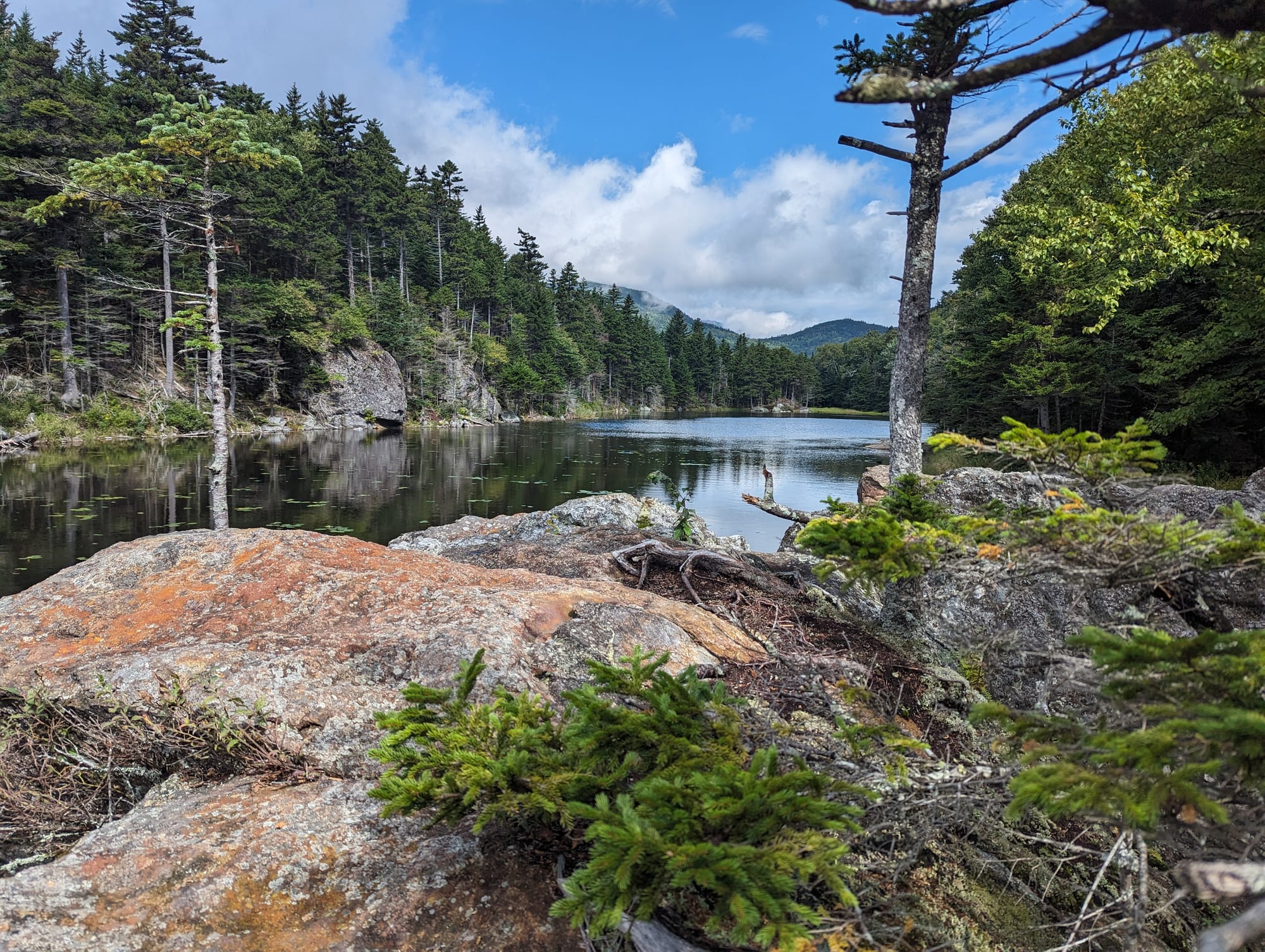
Franconia Ridge, NH
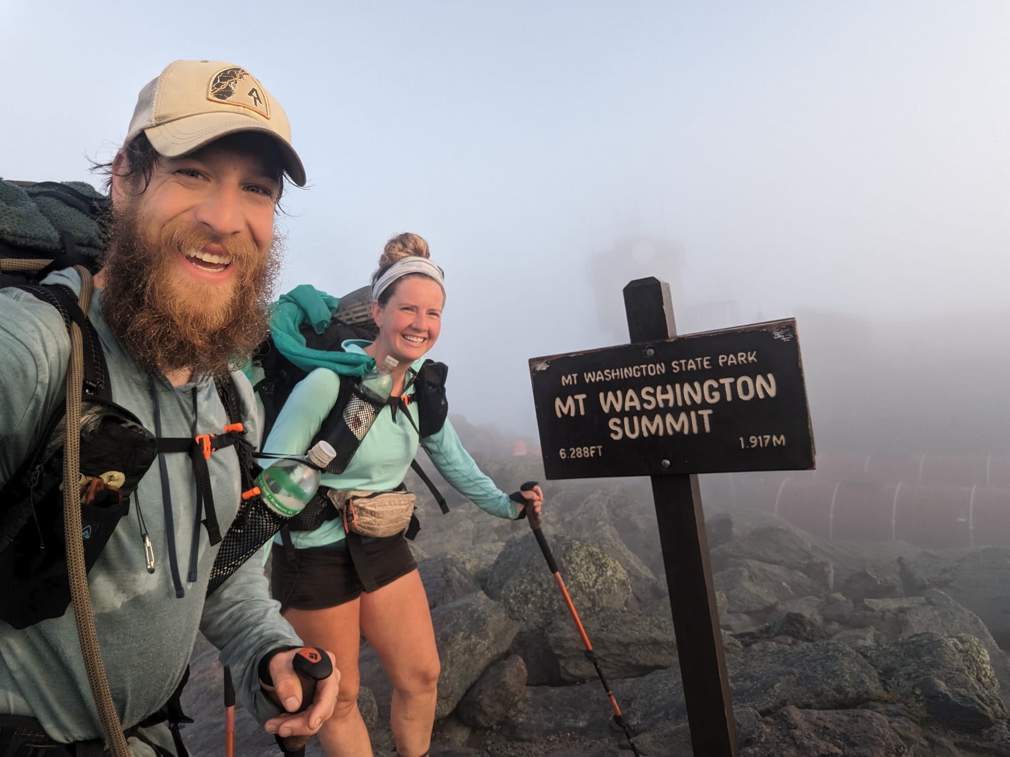
Mount Washington was the exception.
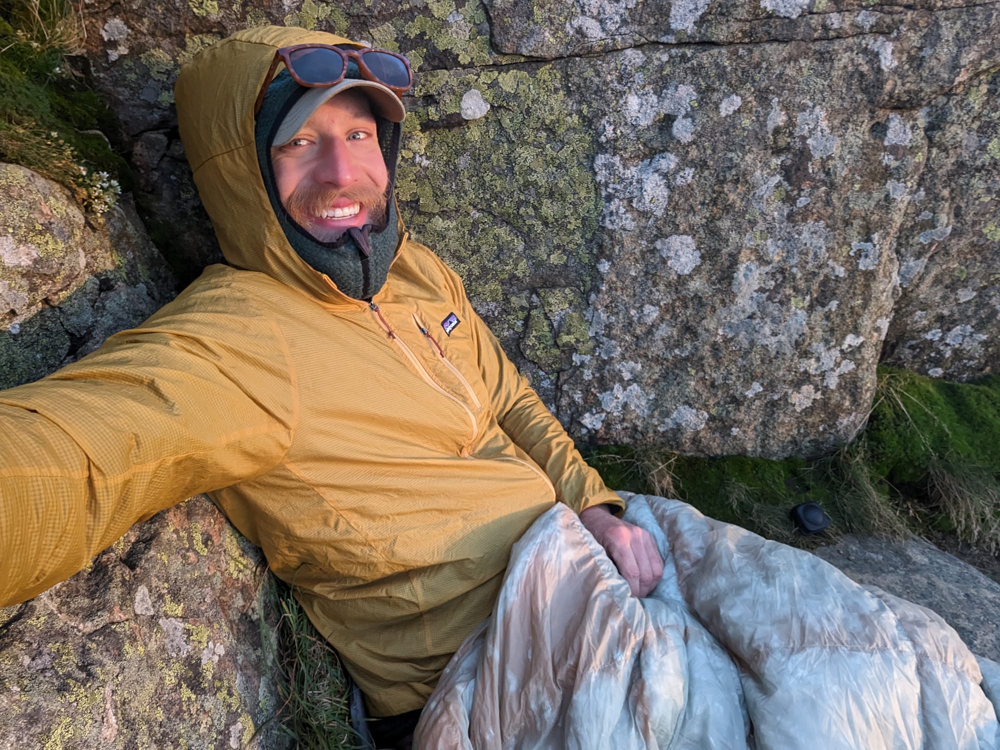
That day went long. The terrain slowed us to about a mile an hour, and we reached the hut near Mount Washington around 8 p.m. There was nowhere reasonable to camp, so we asked about staying. They put us to work in the kitchen for a couple of hours, cleaning dishes and scrubbing bread pans, then let us sleep on the dining room floor.
It was not a good night of sleep, but it was warm, dry, and we were fed.
We had to be up and out early the next morning, which put us on Mount Washington for sunrise. That made the whole strange hut night worth it.
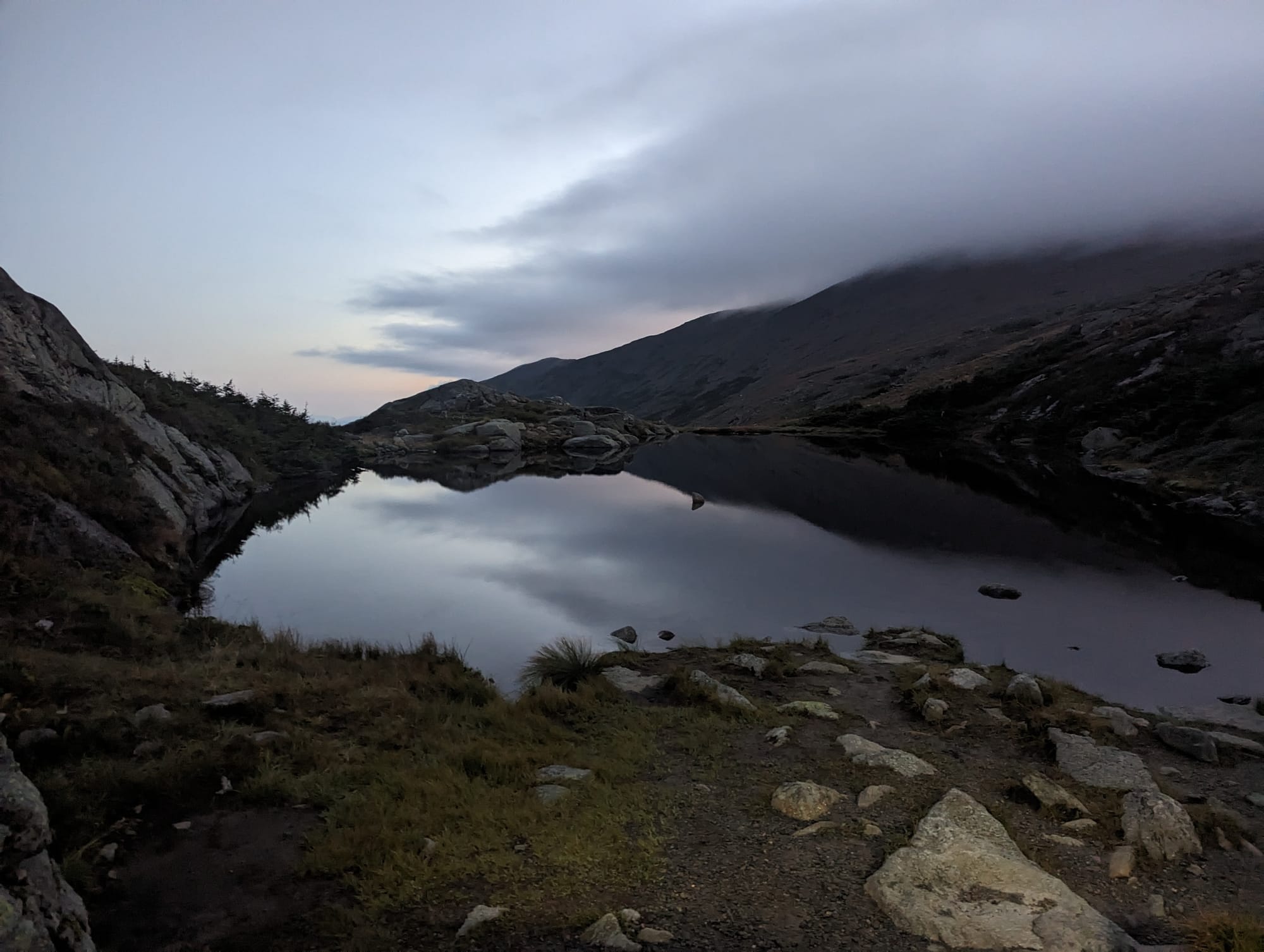
Through the Presidentials, the AT often skirts around summits, but we went up and over as many as we could. It added miles and effort, but looking back, it was the right choice. We were already there. The weather was good. The views were open. The work felt worth doing.
By the time we left New Hampshire, we had slowed down, but not in a negative way. The terrain demanded it, and we had enough time to listen. Every step still moved us closer to Katahdin, but the point was no longer to hurry.
⚡ TL;DR
- Section identity: the northern difficulty shift
- Hardest part: mud, roots, steep climbs, slower miles, exposure, and weather windows
- Best part: the Long Trail overlap, Vermont’s green tunnel, the Whites, Franconia Ridge, the Presidentials, and Mount Washington at sunrise
- Most useful lesson: mileage stopped being the best measure of difficulty
- Place in the larger hike: where the AT changed from long-distance walking into northern mountain travel
Final Takeaway
Vermont and New Hampshire were where the trail got harder in the way we had been waiting for. Vermont made the walking wetter, slower, and more enclosed, while New Hampshire opened the trail into rock, weather, exposure, and some of the best mountain travel of the entire hike. By the Maine line, the finish felt close, but the trail had made clear it was not going to hand us the ending easily.