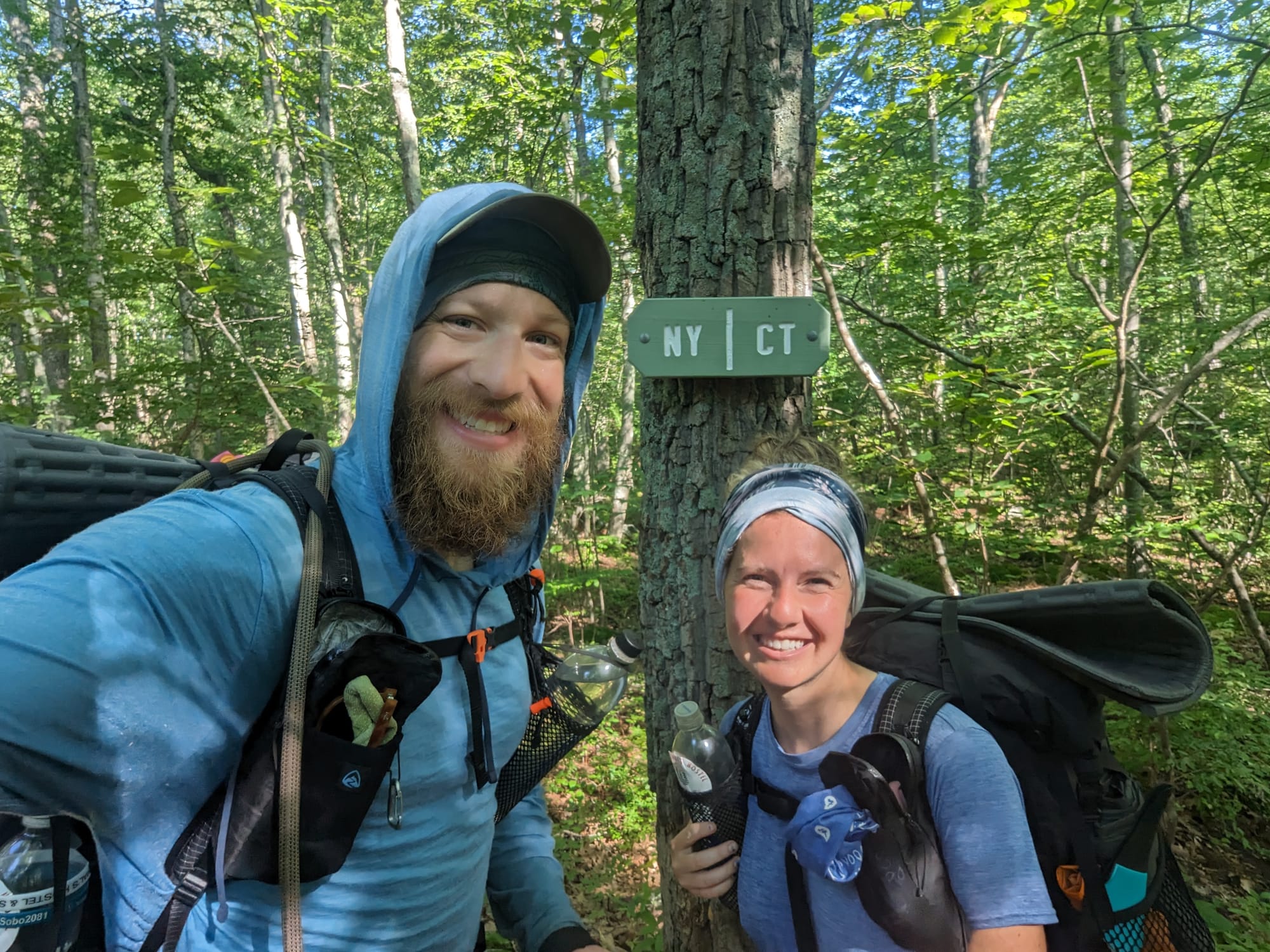
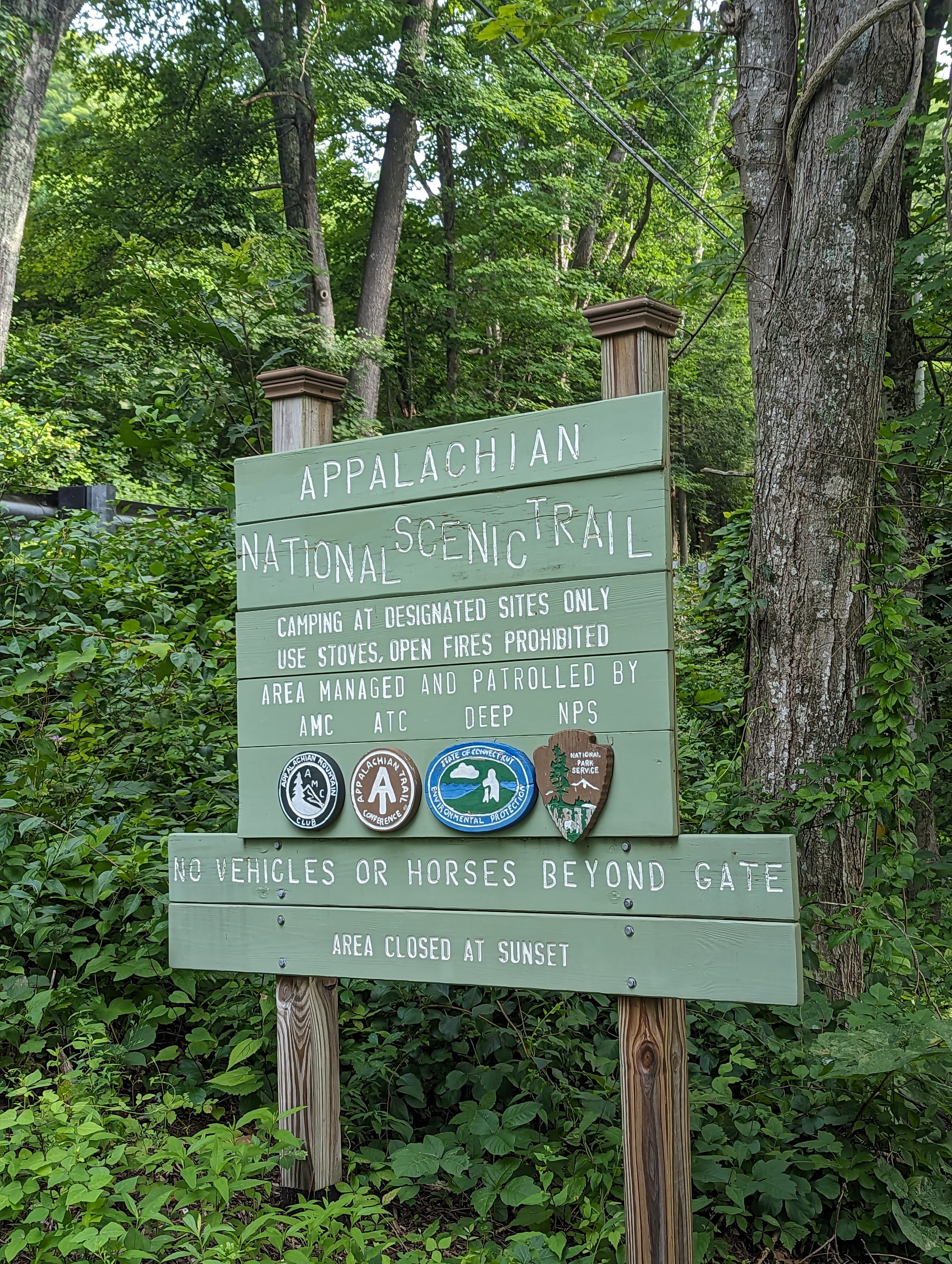
Appalachian Trail | CT & MA
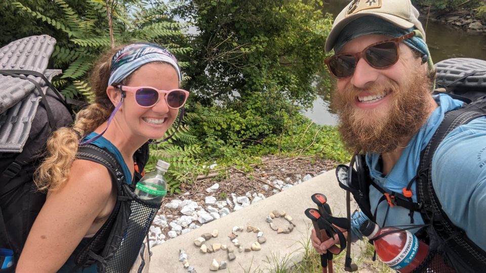
Connecticut felt like a relief after northern New York.
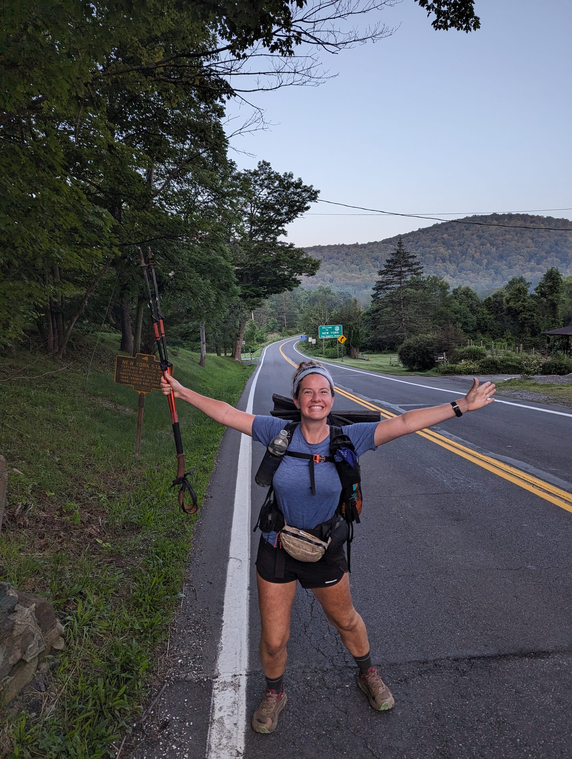
The last part of New York had been swampy, muggy, buggy, and wet. Crossing into Connecticut did not feel like a major milestone, but like the trail had shifted yet again. The landscape was still humid and green, but the walking felt less swamp-bound and more settled.
Connecticut and Massachusetts were both short enough that some hikers treated them like states to knock out quickly. We heard plenty of talk about big pushes through Connecticut, including people trying to walk the whole state in a single 24-hour effort. We were ahead of the master plan by then and had no real reason to rush.
So we kept moving at our pace.
These two states felt more civilized than dramatic. The towns were closer, the trail crossed through older New England landscapes, and the hiking was steady without feeling especially punishing. Looking back, Connecticut and Massachusetts do not stand out as sharply as Vermont, New Hampshire, or Maine. But that may be part of what they were: a quieter transition into the northern trail.
🗺️ The Lay of the Land
- Section: Connecticut & Massachusetts
- Route: Connecticut state line to the Vermont state line
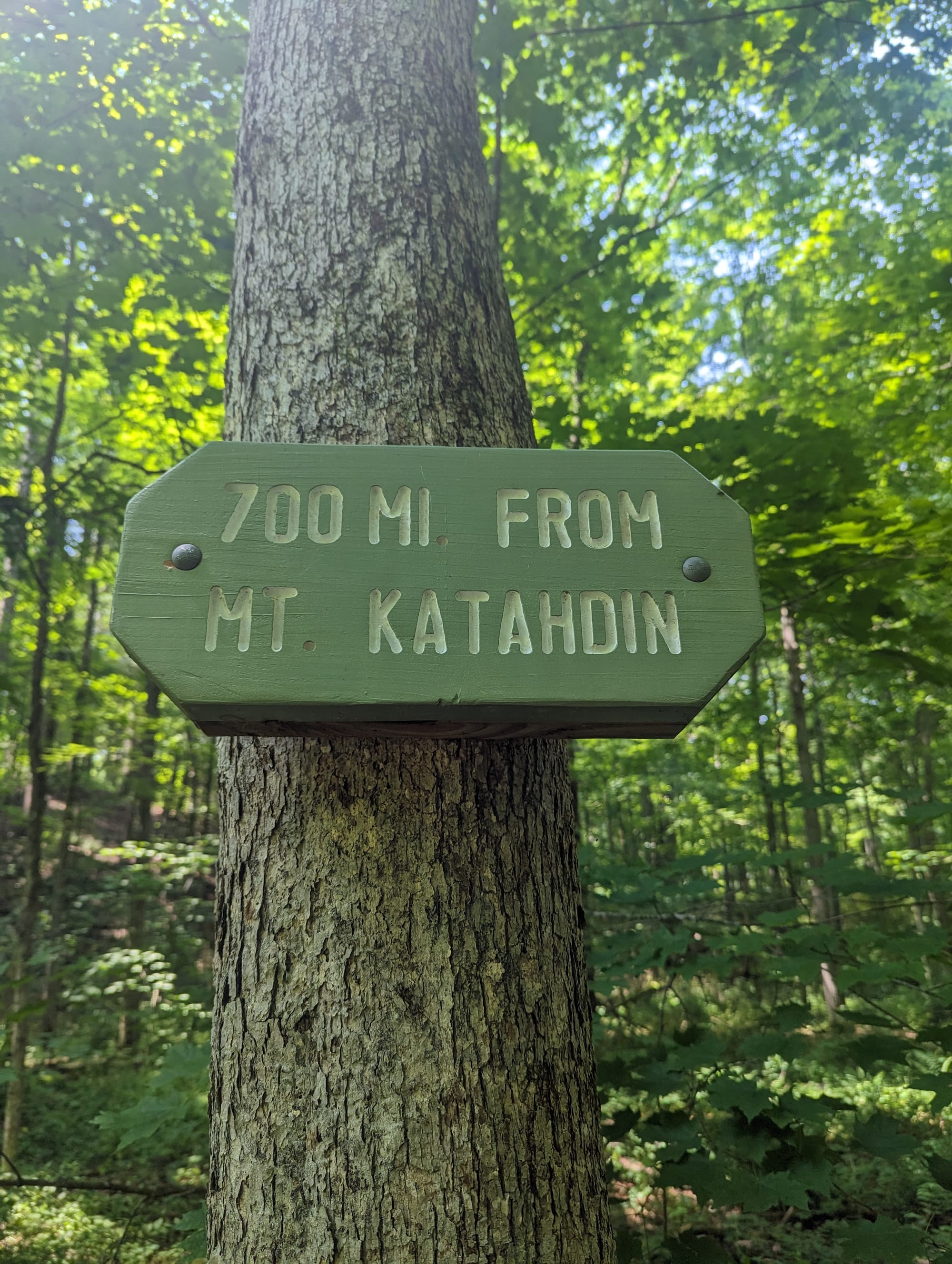
- AT miles: Approx. 1,450–1,593
- States covered: Connecticut · Massachusetts
- Direction: Northbound
- Landscape: New England hills · Berkshire uplands
- Terrain: river valleys · forested ridges · farmland edges · rocky climbs
- Section role: the transition from the busy Northeast corridor into New England trail
Regional Notes
Connecticut and Massachusetts moved the AT into a different kind of northern landscape.
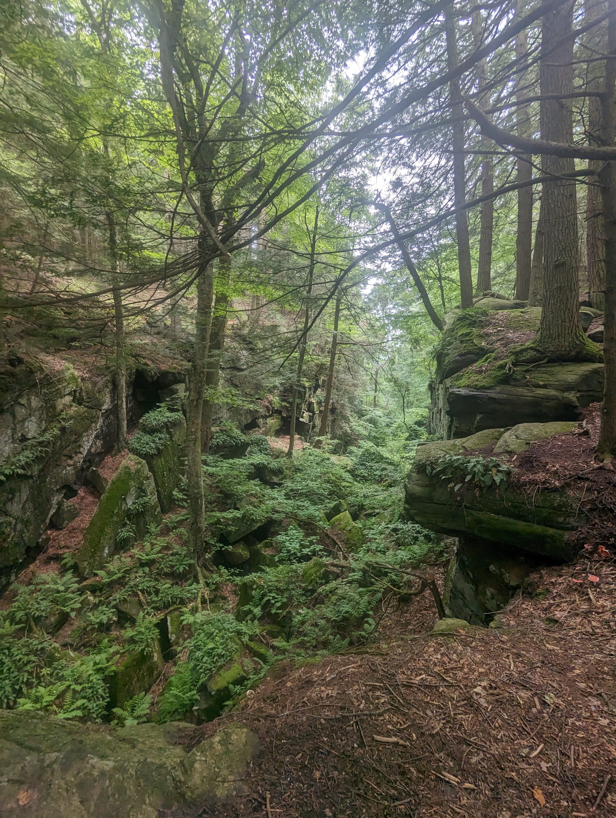
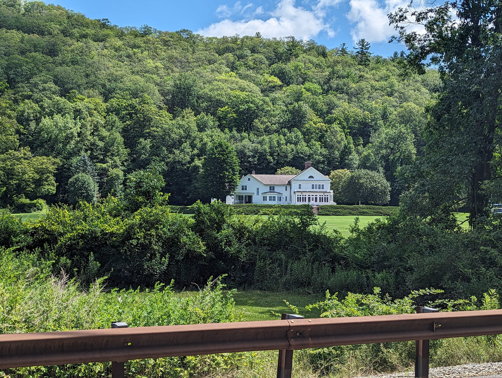
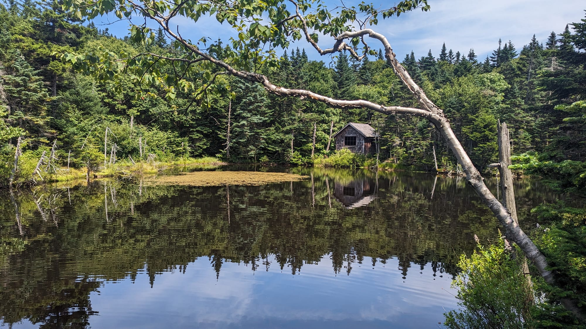
The trail no longer felt as squeezed between highways, delis, and suburbs as it had in New Jersey and New York. It still crossed roads and passed close to towns, but the setting changed. The land felt older in a settled New England way: small towns, river valleys, forests, farms, stone walls, and ridges that rose and fell without the harder drama of the mountains ahead.
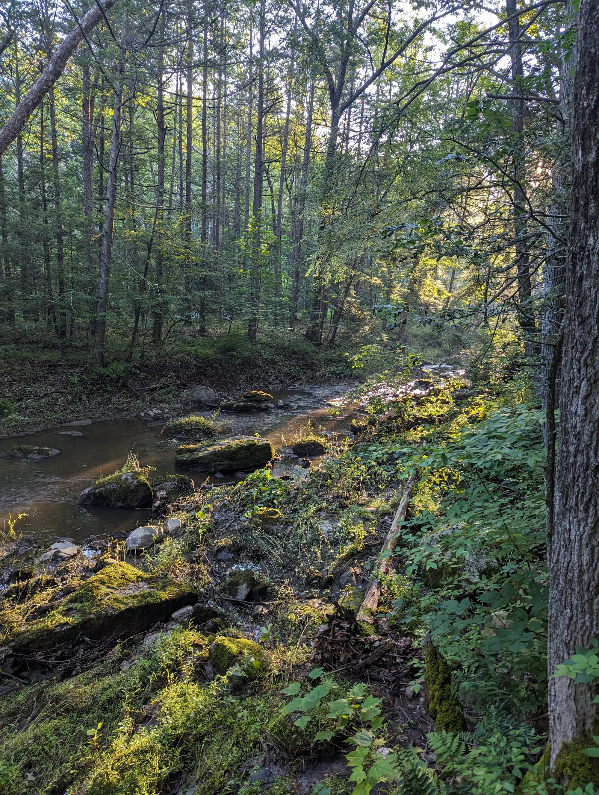
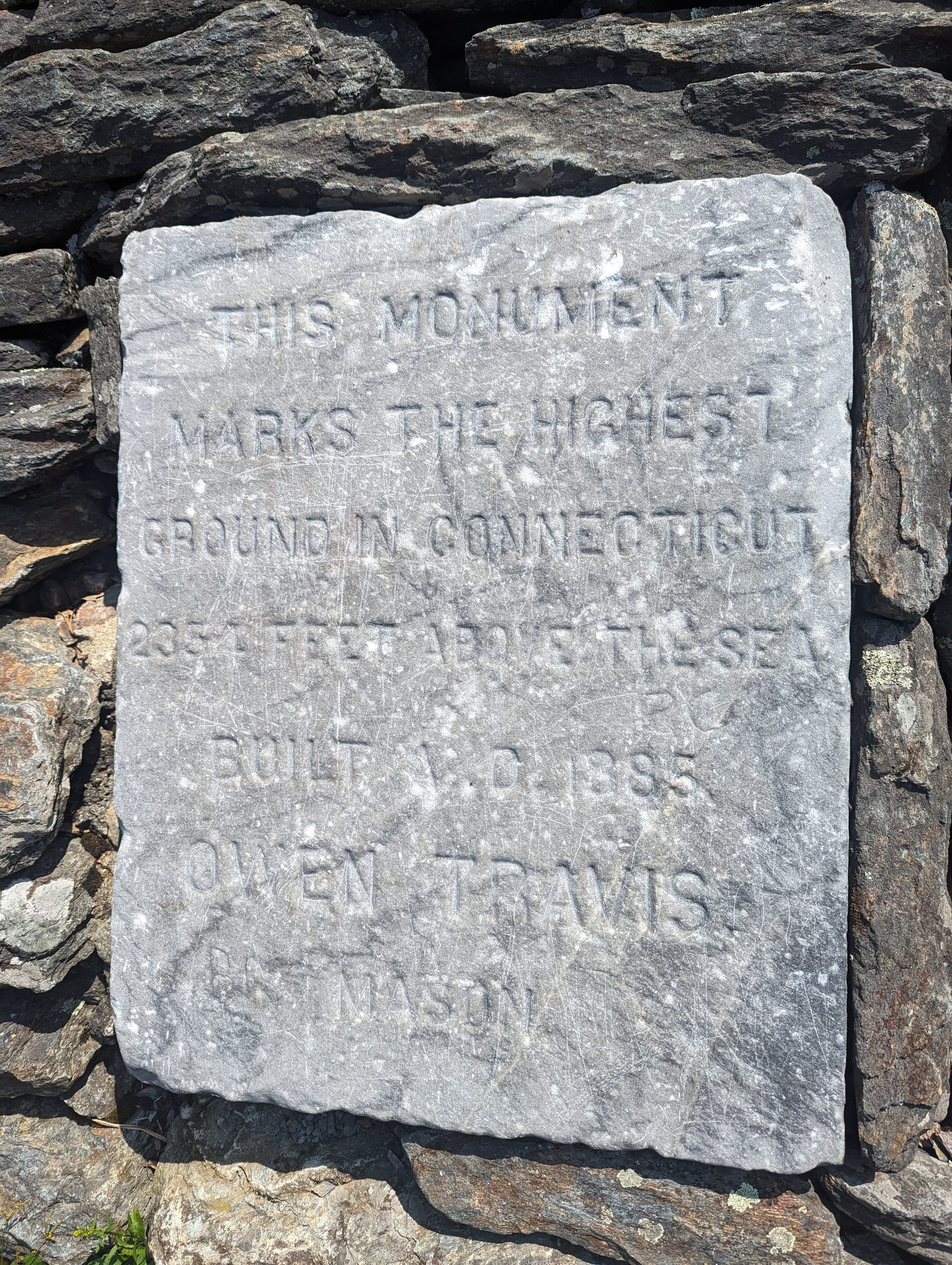
Connecticut follows sections of the Housatonic River, which gave the trail more open air after the swampier parts of New York. The river itself was broad and brown, but walking near moving water changed the feel of the section. It gave the landscape a line to follow.
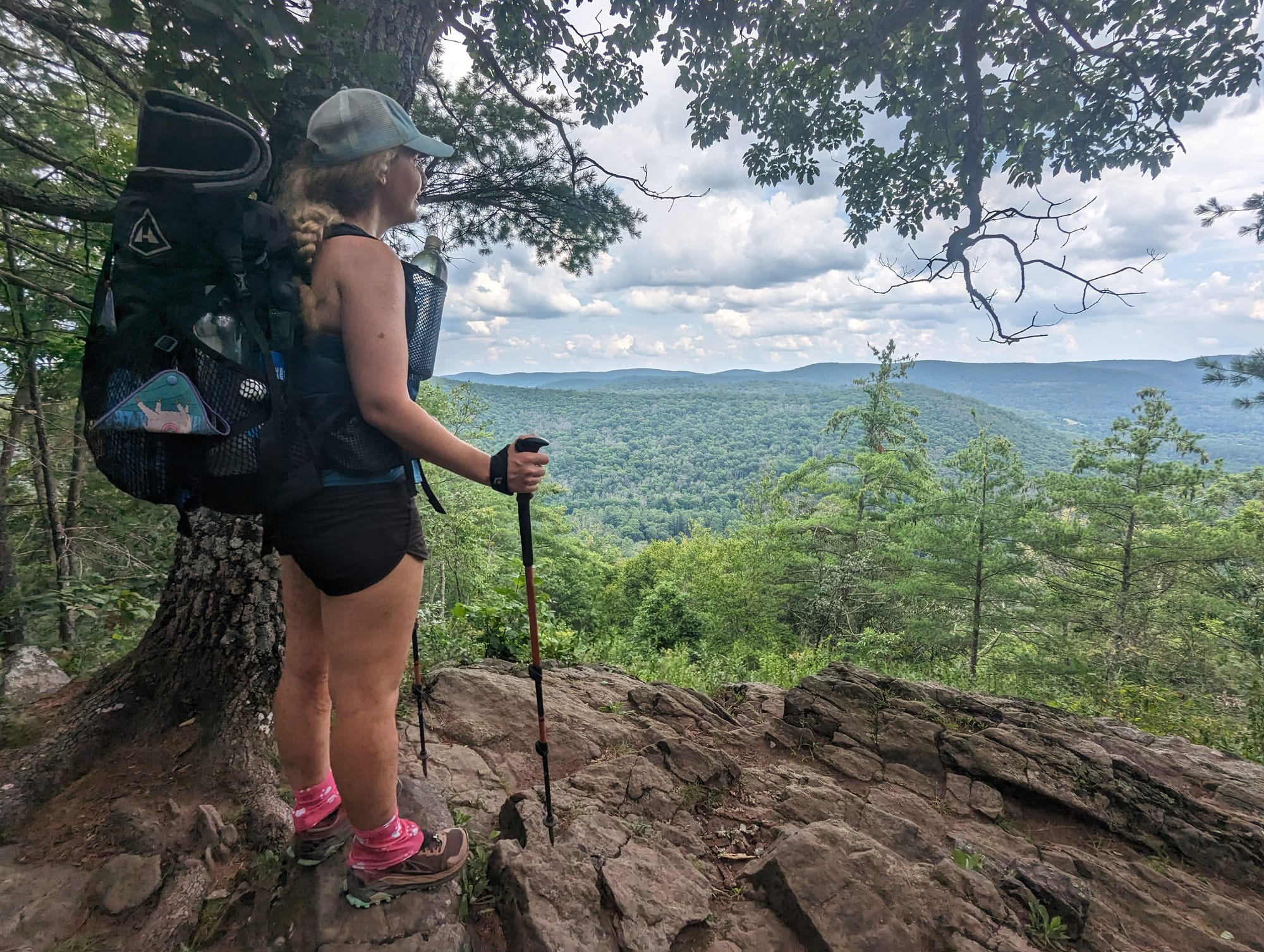
Massachusetts opened the trail a little more. There were fields, friendlier trail towns, and the Berkshires beginning to shape the landscape. The climbs were still manageable, but the terrain started pointing toward what was coming next. The Green Mountains were not here yet, but the trail was beginning to lean that direction.
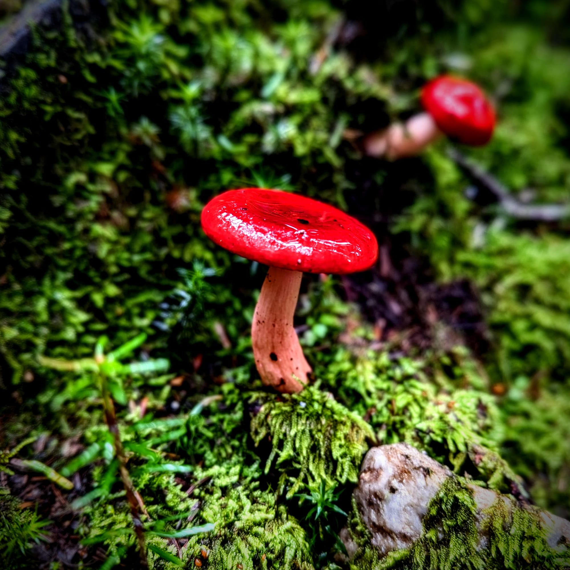
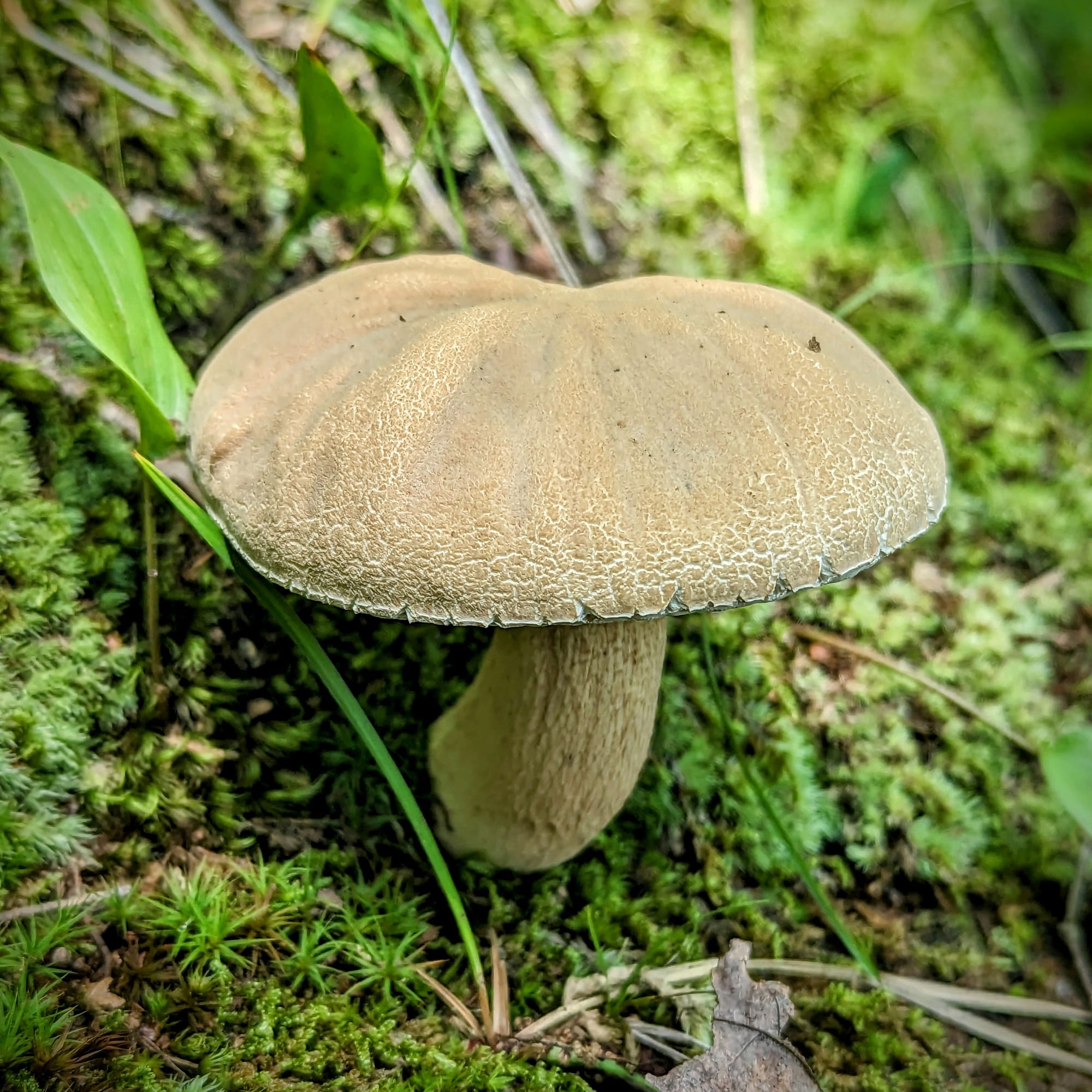
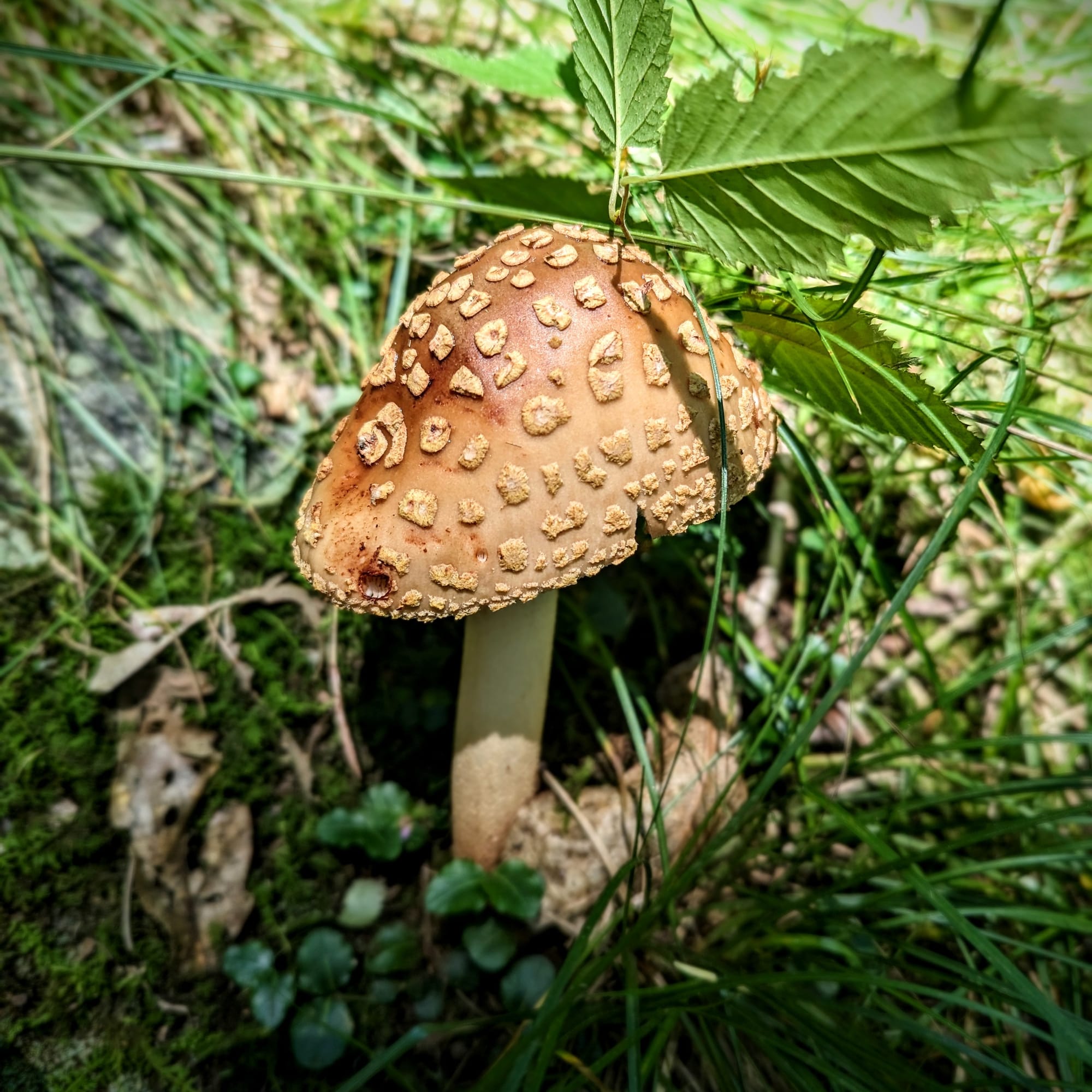
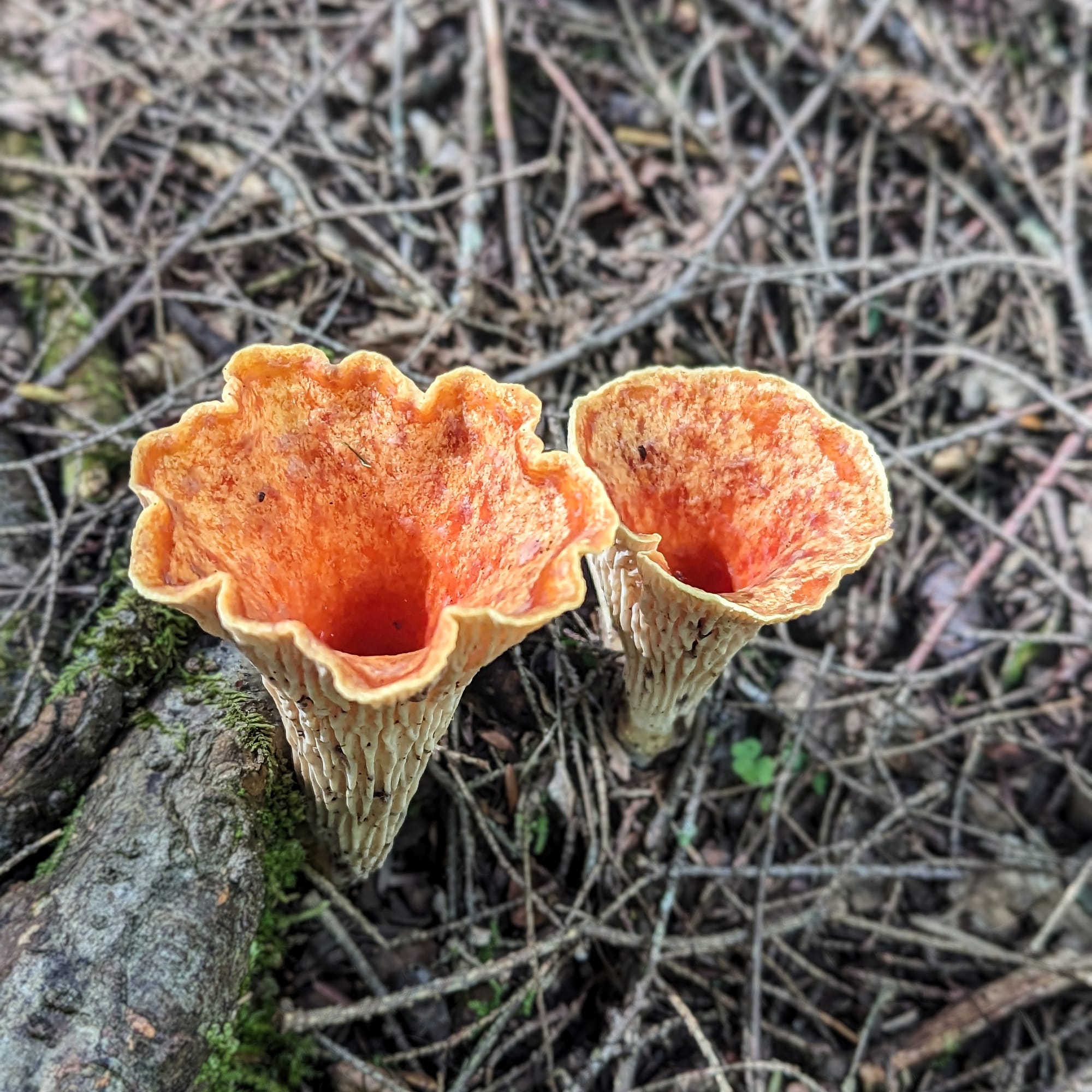
This was also where mushrooms became impossible to ignore. They had been around before, scattered along wet stretches of trail, but in Connecticut they seemed to appear everywhere. Different shapes, colors, and textures started showing up so often that photographing them became part of the walk.
The geography here was not loud. It did not announce itself like the Smokies, the Roan Highlands, or the rocky ridges of Pennsylvania. It worked more quietly: river, ridge, town, field, forest, repeat.

🥾 On the Trail
- Mileage pattern: steady 20-mile days
- Water: generally reliable
- Shelter rhythm: shelters and tenting · more compact spacing
- Trail towns / resupply points: Kent · Salisbury · Great Barrington · Dalton · Cheshire · North Adams
- Crowd level: spread-out thru-hikers · fewer new faces · familiar hikers reappearing
- Best remembered for: the Housatonic River, mushrooms, friendly Massachusetts stops, and civilized New England hiking
Trail Rhythm
By Connecticut, we were moving well and ahead of the master plan.
That created a different kind of freedom. We could have pushed harder, and some hikers did. But we were not trying to win the state. We kept our mileage steady and let the smaller states unfold at a normal pace.
Connecticut was humid, expensive, and a little strange as a trail state. Kent stood out mostly because of the prices. It was the kind of place where a hiker could walk in hungry and feel like a burger was being priced like filet mignon. It was not unfriendly, exactly, but it did not feel built around hikers in the way some earlier trail towns had.
The biggest disruption came when Sunshine was stung by multiple bees over a few days. At first, we thought the swelling was just heat and humidity. Then the sting sites stayed red, expanded, and started merging into larger red and purple patches across her legs.
By the time we were heading toward Kent, it was clear that we needed to stop and let her recover. We got a hotel outside town, used cold showers, Benadryl, and creams, and gave it a couple of days. Thankfully, the reaction never moved into her throat or breathing, but it was enough to remind us that even in a less dramatic section, small problems could still change the plan quickly.


Massachusetts felt more open and friendlier.
Great Barrington gave us one of the better town stops. We cleaned ourselves up enough for a small date night, which felt almost civilized after months of trail life. North Adams was memorable for a different reason: by chance, we met the owner of Silver Bear Distillery, got a tour of the facility, and sampled some of what he was making.
The best trail magic in Massachusetts came from the Northern Cookie Lady. She lived on a beautiful piece of property and had a simple arrangement for hikers: fill a big Folgers coffee tin with picked blueberries, and she would offer dinner and a place to sleep in a bed inside her airplane hangar. Her son had just finished building a wood-fired pizza oven and was practicing. The pizzas were not all up to his standard yet, but hungry hikers are an easy audience for pizza experiments.
By this point, the hiker community had spread into a different pattern. We were meeting fewer completely new people. The faces we did see were often hikers who had been around for a long time, or people who had been a week or two ahead of us for months and were only now overlapping with our pace. It was strange to realize we had been moving toward the same goal, in the same direction, for the same season, but separated by just enough time that we had never crossed paths.
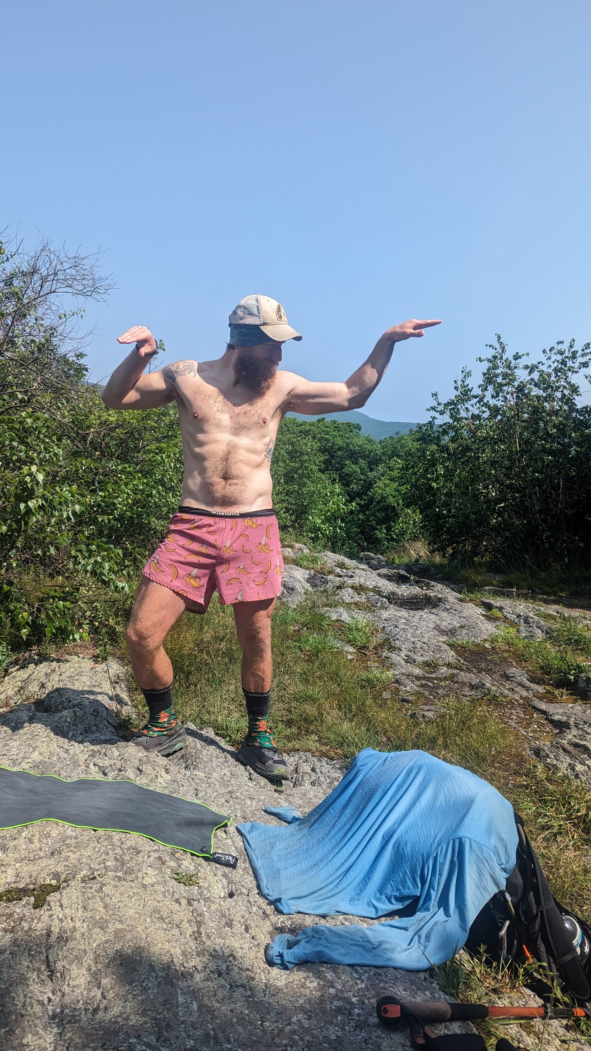
The hiking itself stayed manageable. The climbs were not too difficult, and people kept telling us to enjoy them before Vermont and New Hampshire turned the difficulty up.
We did.
⚡ TL;DR
- Section identity: civilized New England transition
- Hardest part: humidity, bee stings, and expensive town stops
- Best part: the Housatonic River, Great Barrington, Massachusetts trail magic
- Most useful lesson: smaller states still deserve their own pace
- Place in the larger hike: where the AT left the Northeast corridor behind and started leaning toward the northern mountains
Final Takeaway
Connecticut and Massachusetts were quieter than the sections around them, but they served a purpose. They softened the shift out of New York, gave us a more settled version of New England, and carried us toward Vermont without demanding that every mile become a major event.