A Field Guide to America’s Public Lands
The landscape does not always change at the sign.
The forest continues across the boundary. The creek follows the road. The mountains remain fixed on the horizon. Yet the brown wooden sign beside the pavement marks a meaningful shift in what can happen on that land, who makes those decisions, and what the place is being managed to do.
For years, we visited national parks without thinking much about the larger system around them. A park was a destination. There was usually an entrance, a map, a visitor center, established trails, and a clear sense that we had arrived somewhere set apart.
Living on the road has made the other categories harder to ignore.
We have camped in national forests without passing an entrance station. We have driven forest roads leading past campgrounds, cattle, trailheads, private property, and wilderness boundaries. We have stayed in state parks built around reservoirs and others protecting forests, coastlines, or unusual geology. Across the West, we have crossed Bureau of Land Management land that looked empty and untouched, even while it remained open to grazing, mining, motorized travel, and energy development.
“Public land” began to feel less like one system and more like a collection of different answers to the same question:
What are we asking this land to do?
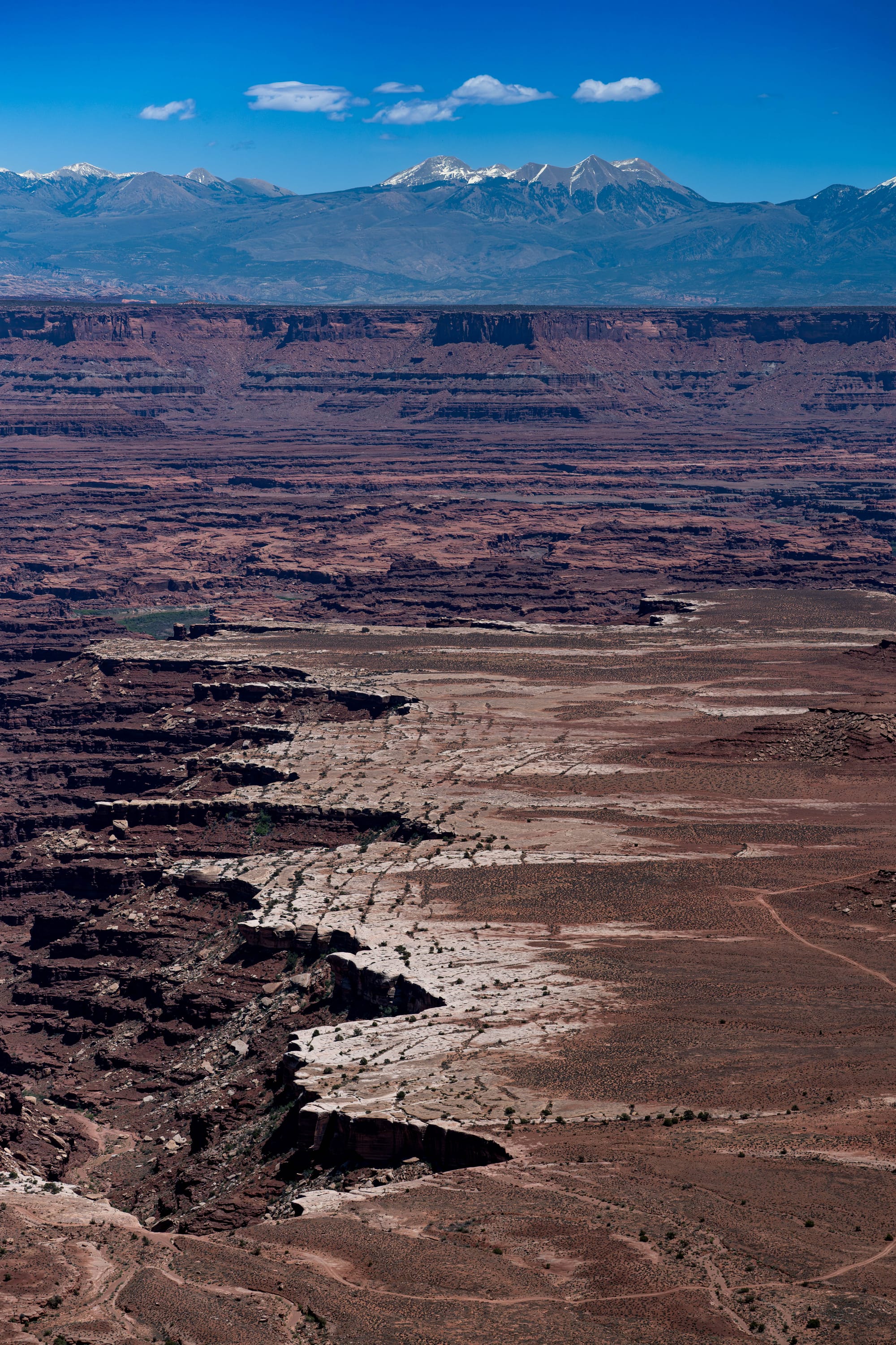
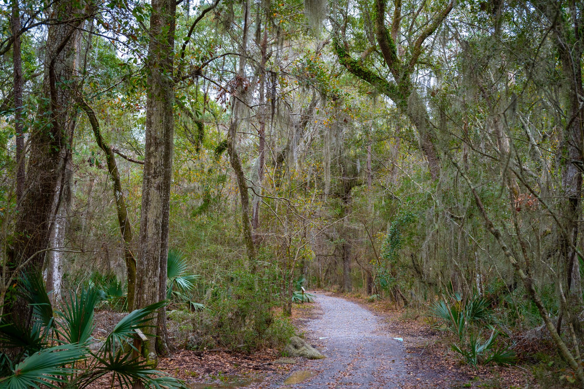
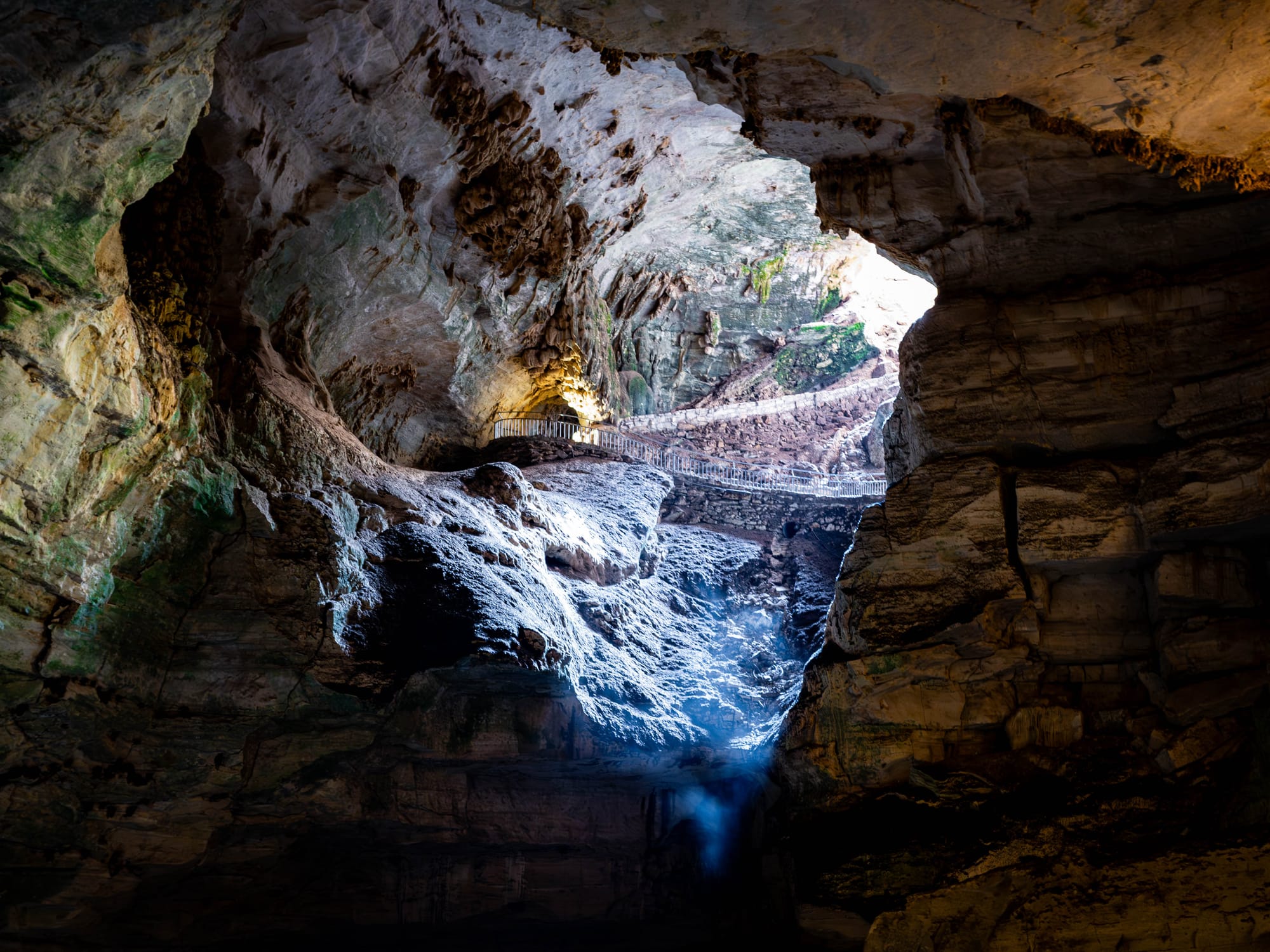
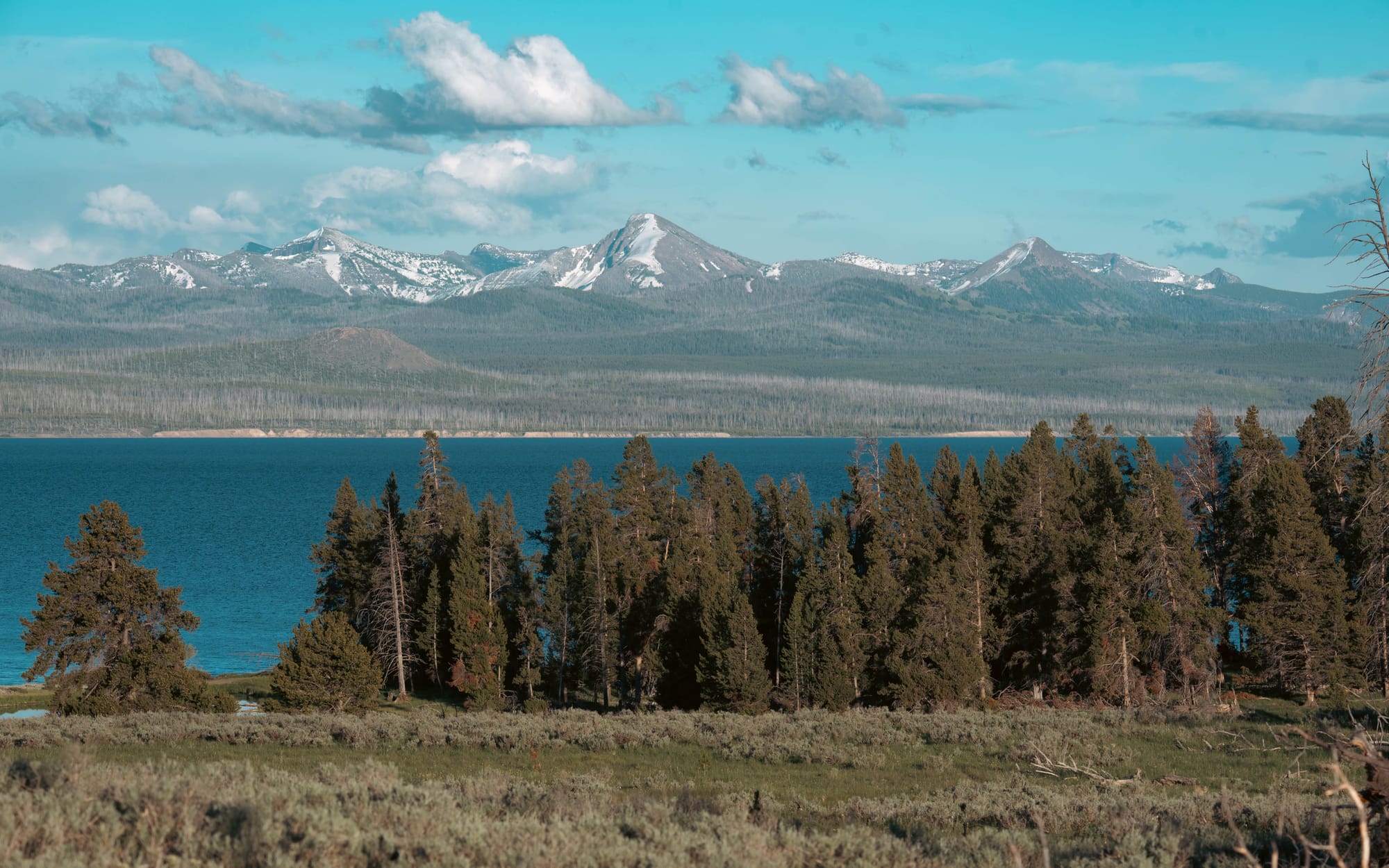
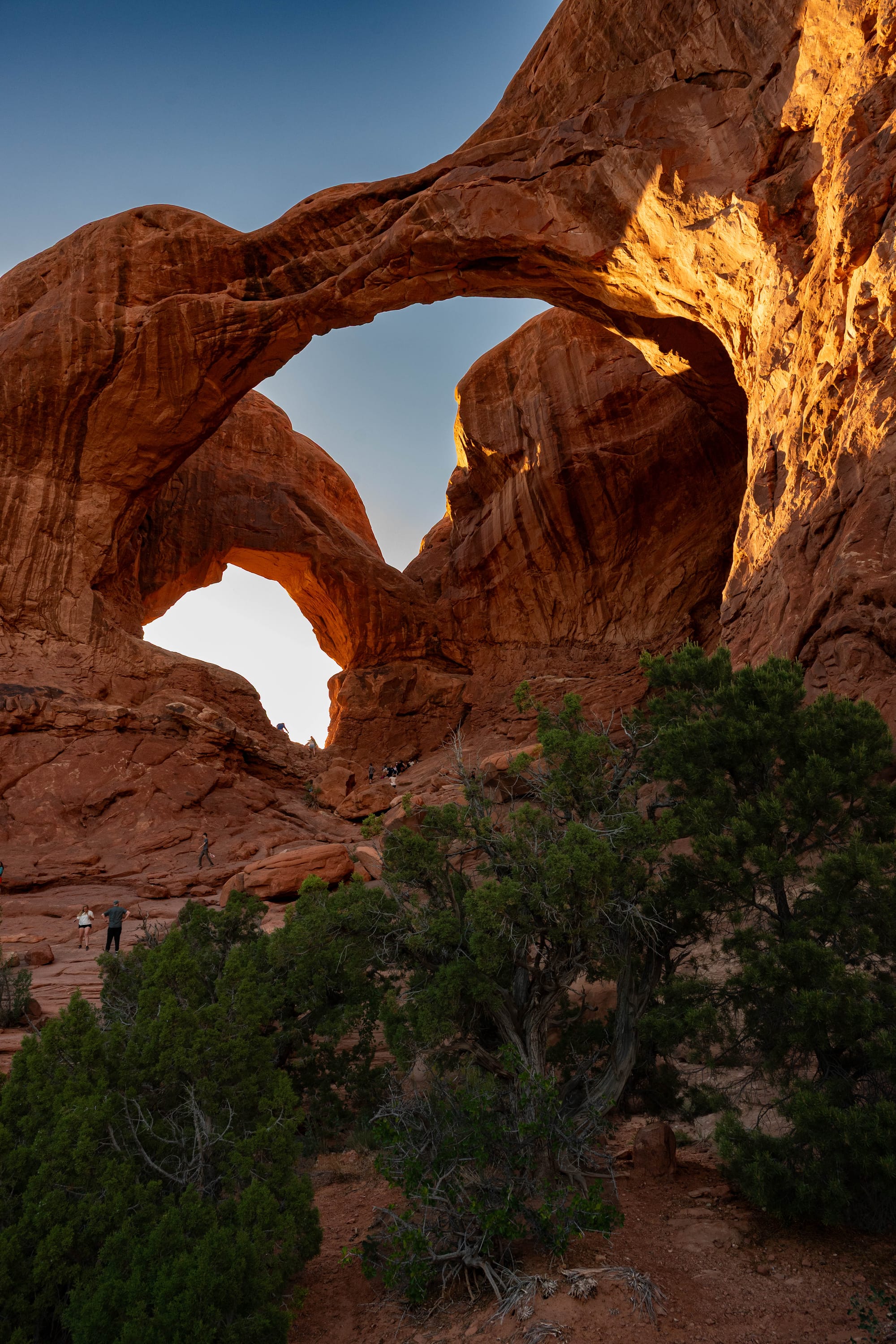
Public land is not one thing
The United States does not have a single public-land agency or one universal level of protection.
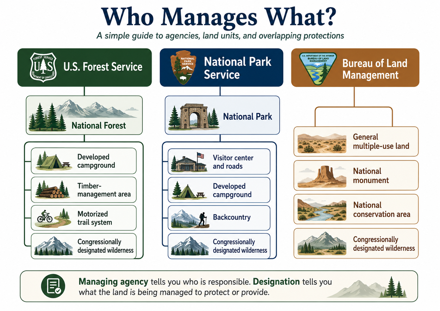
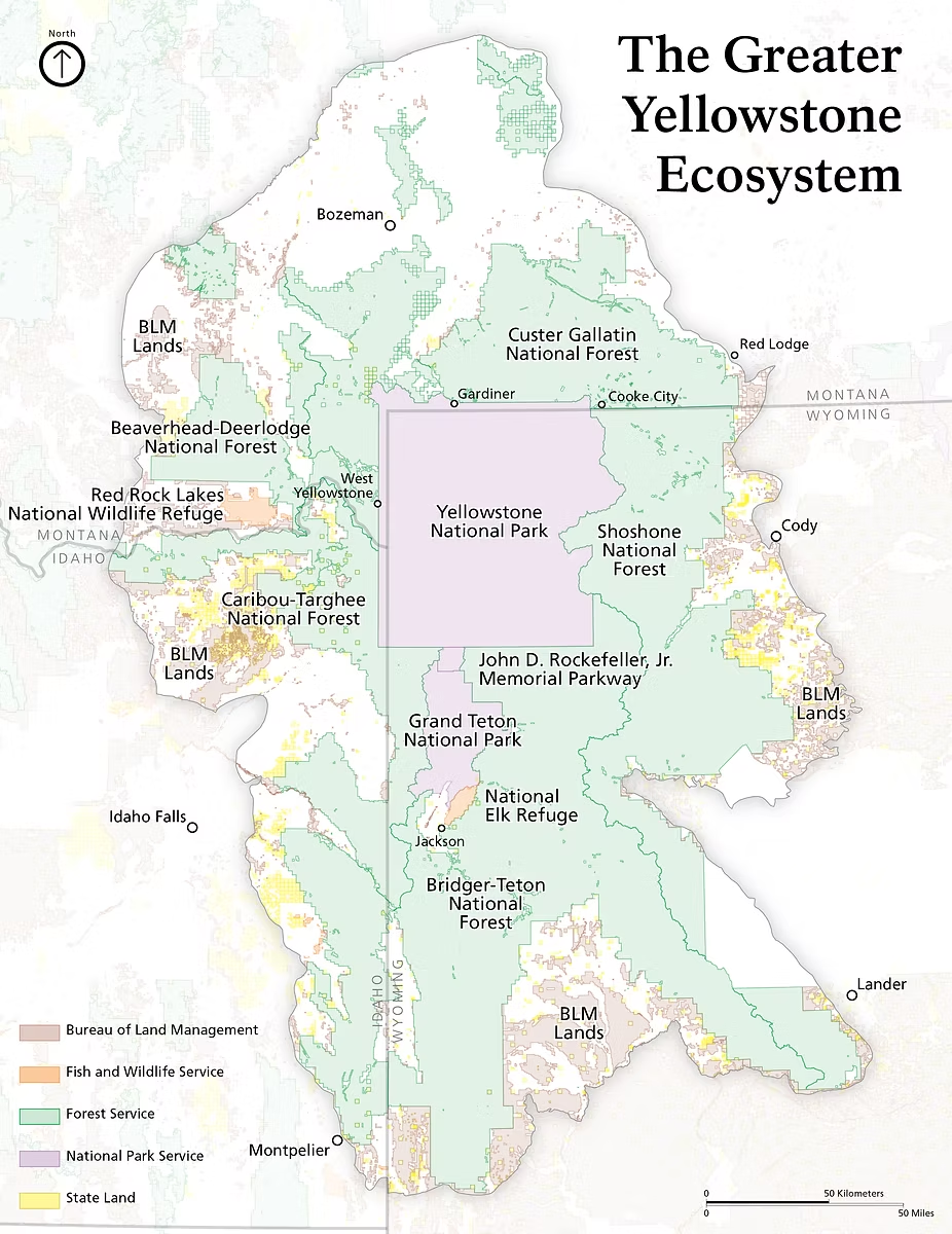
At the federal level, most public lands are managed by four agencies:
- The National Park Service
- The U.S. Forest Service
- The Bureau of Land Management
- The U.S. Fish and Wildlife Service
States manage their own parks, forests, wildlife areas, recreation areas, and trust lands. Counties, cities, and other public entities may manage land too.
The agency name tells us who handles the daily work. It does not always tell us what legal protections apply.
Some labels describe a management system. Others are protections layered over land already managed by an agency.
A national forest is managed by the Forest Service. A national wildlife refuge is managed by the Fish and Wildlife Service. National parks, seashores, and lakeshores are generally managed by the National Park Service.
Wilderness works differently. It can exist inside a national forest, national park, wildlife refuge, or on BLM land. The original agency remains responsible, but the wilderness designation places stricter limits on how that portion can be managed.
National monuments complicate the picture further. They may be managed by the Park Service, Forest Service, BLM, Fish and Wildlife Service, or more than one agency. The name tells us that particular resources have been protected. It does not tell us exactly what the roads, camping, recreation, or surrounding landscape will look like.
Who creates these places?
The answer depends on the designation.
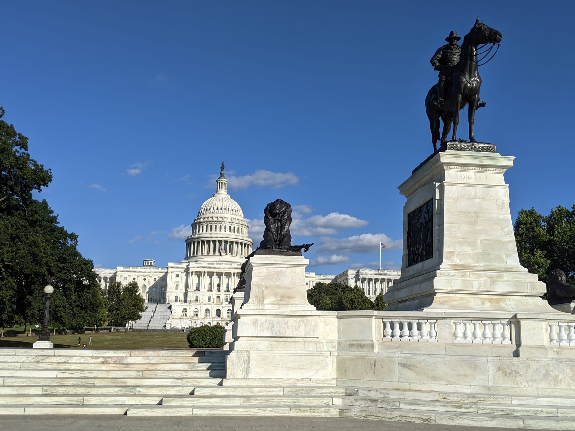
Congress creates national parks through legislation. It also establishes national seashores, lakeshores, recreation areas, conservation areas, wild and scenic rivers, and many other protected units. Congress alone can add federal land to the National Wilderness Preservation System.
Presidents have a different role. Under the Antiquities Act of 1906, a president can proclaim a national monument on federally controlled land to protect objects of historic or scientific interest. Presidents have also used authority granted by Congress to reserve forest land and establish wildlife refuges.
Federal agencies manage the land within those laws and proclamations. They write management plans, designate trails and motorized routes, establish campgrounds, close roads, regulate access, and recommend additional protection.
Those actions do not all carry the same legal weight. Agency plans can be revised. Presidential proclamations may face later political or legal challenges. A wilderness designation or national park created by Congress generally requires another act of Congress to reverse.
Creation authority helps explain how durable a designation may be. It does not create a perfect ranking of protection.
A rough spectrum of protection
Protection is not one measurement.
Land may be strongly protected from mining or logging while heavily developed for visitors. Another place may have no pavement or visitor facilities while remaining open to grazing, mineral development, or motorized travel.
A wildlife refuge may permit hunting because regulated hunting is compatible with its conservation purpose. A wilderness area may allow grazing where that use existed before designation. A national monument may function like a national park or remain part of a broad working landscape.
With those limitations, the categories can still be placed along a rough spectrum, beginning with the designation that generally imposes the greatest restraint.
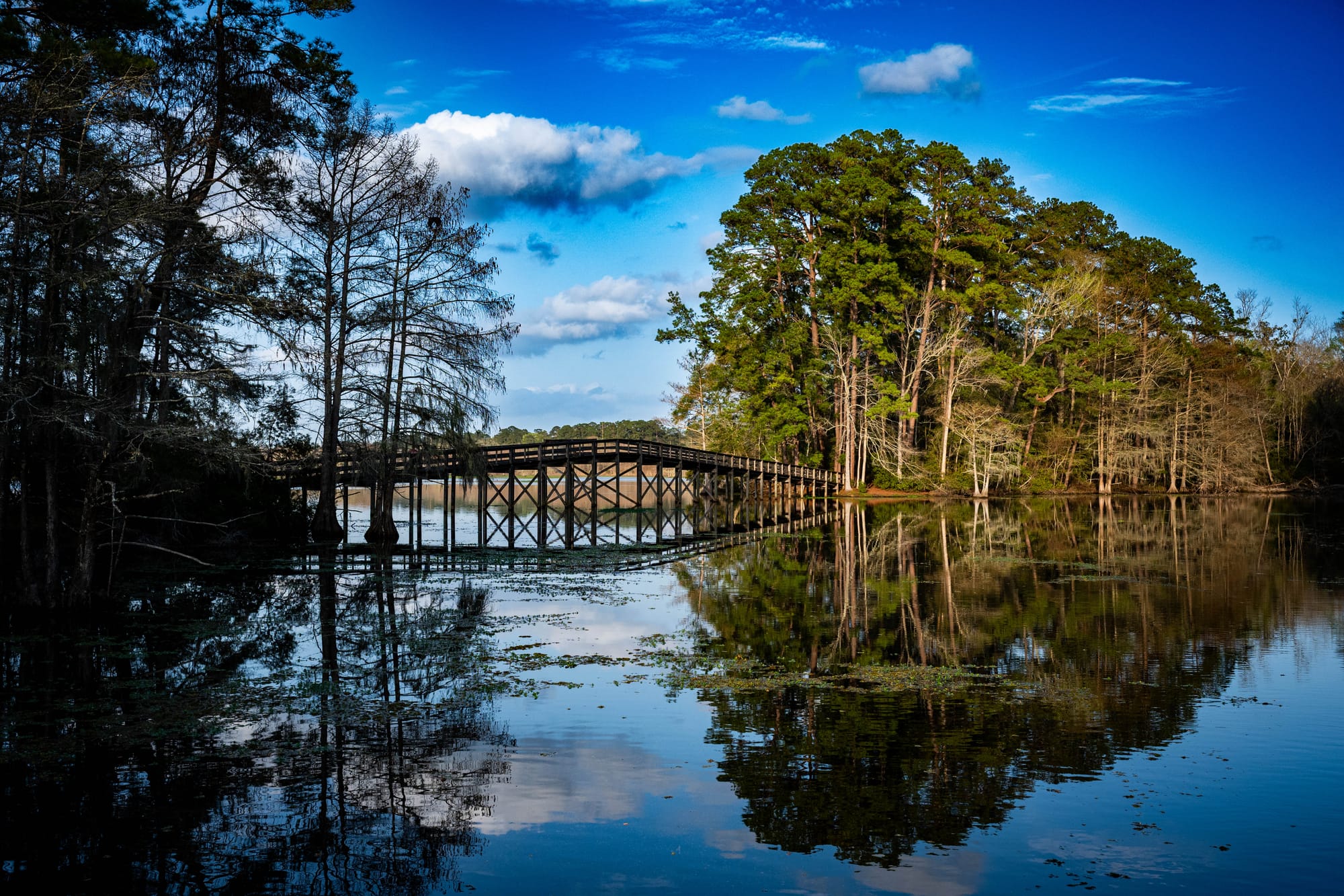
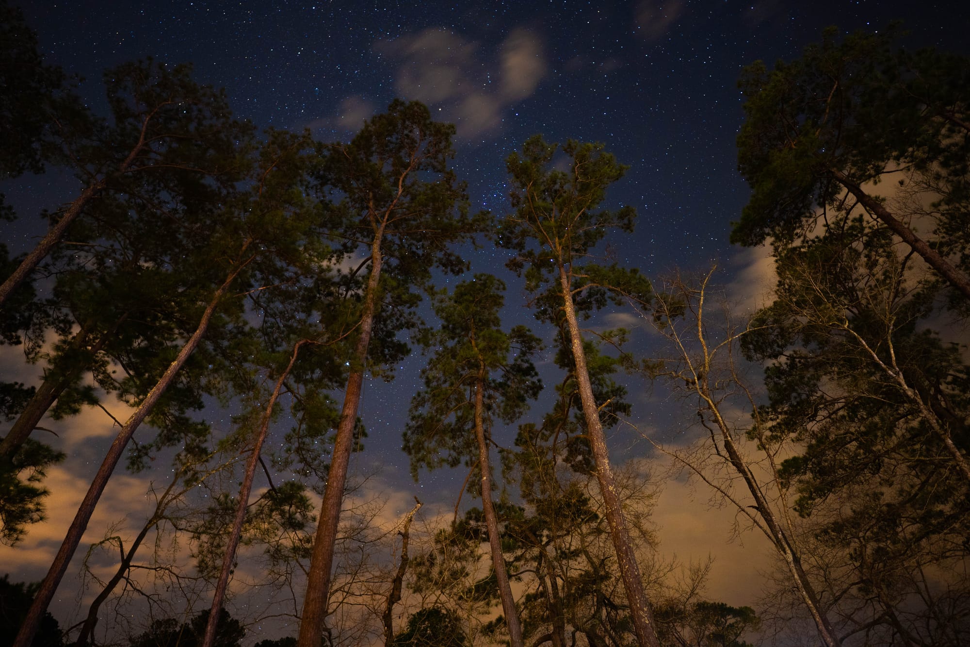

Designated Wilderness
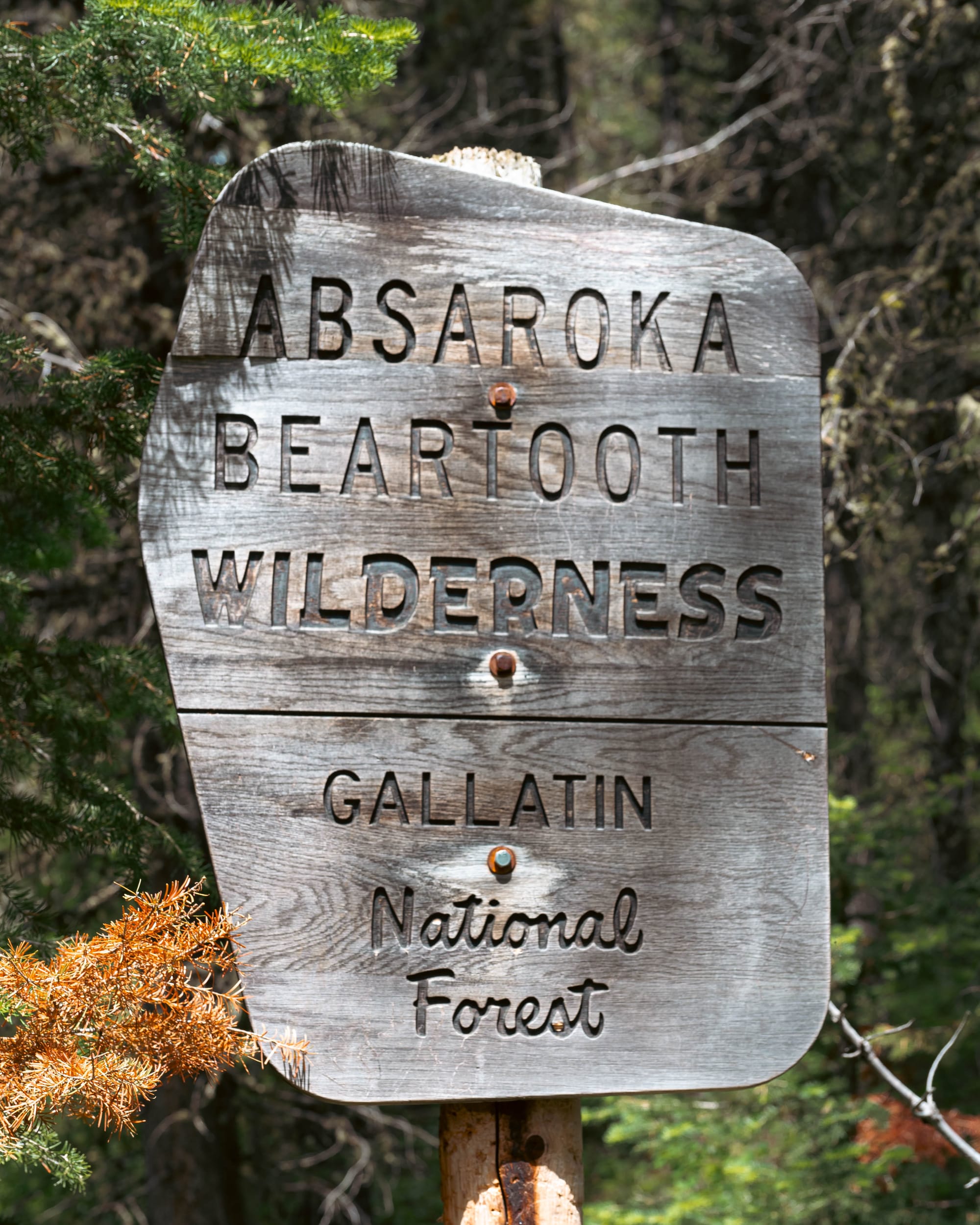
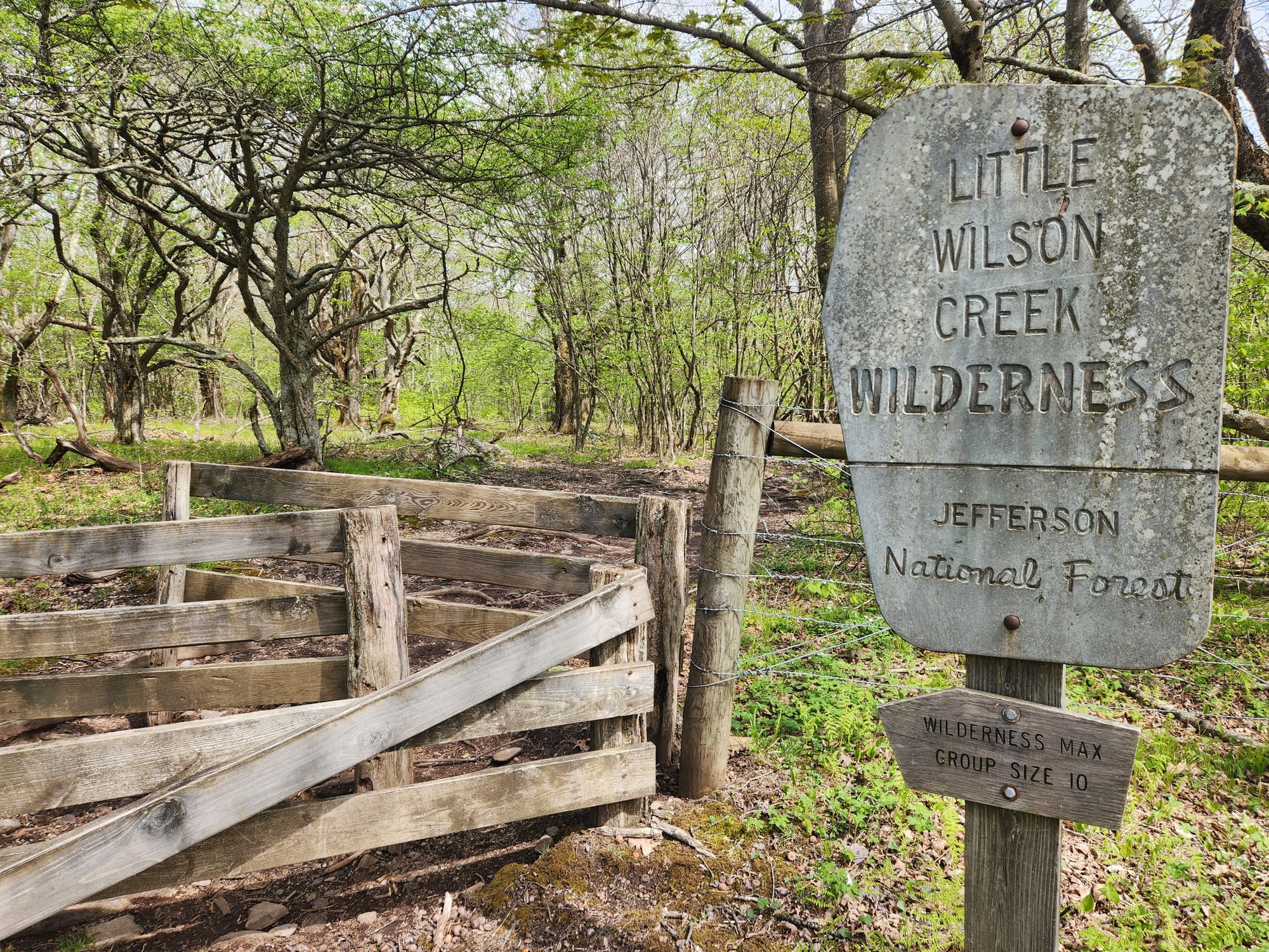
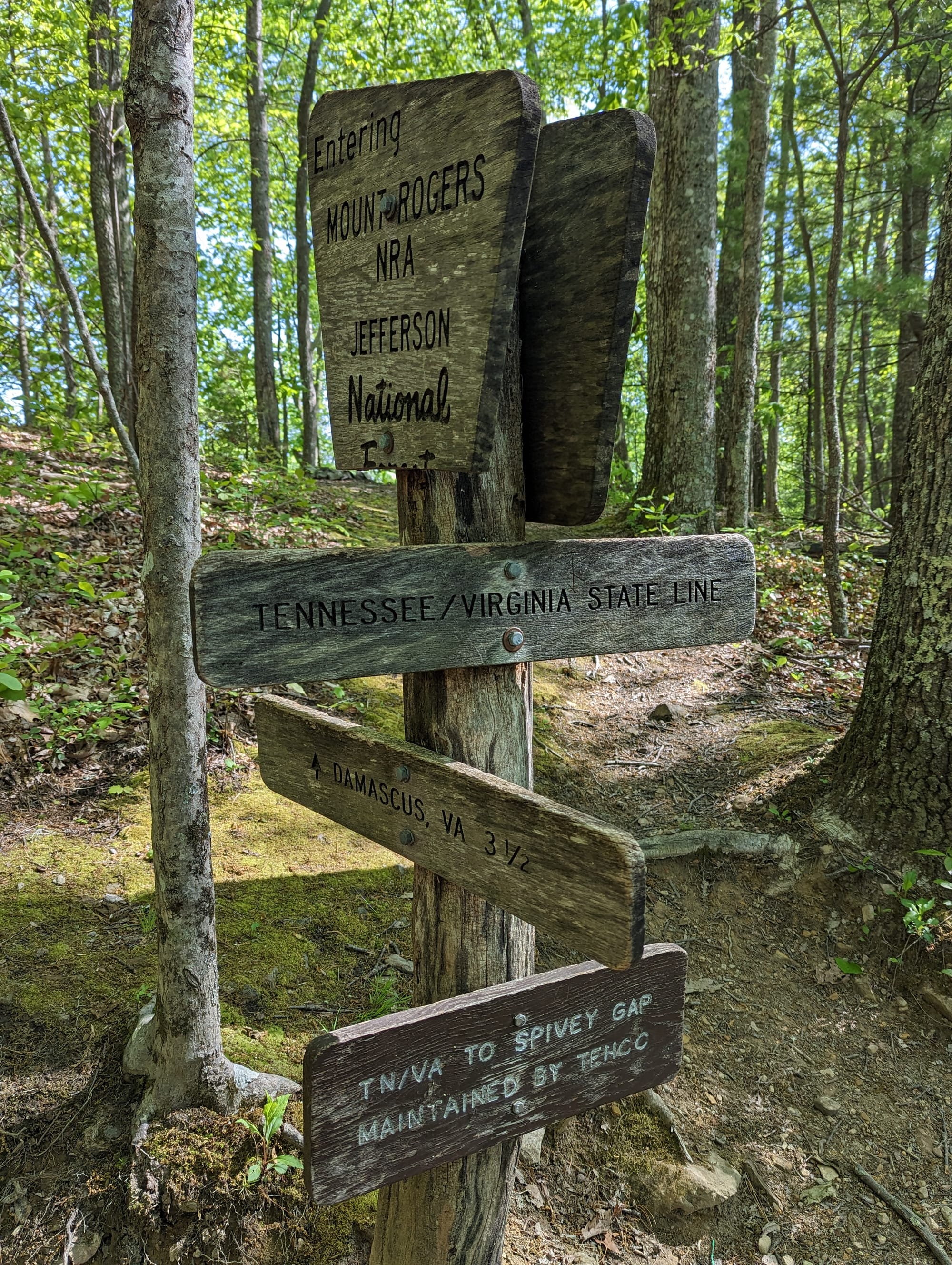
The Wilderness Act of 1964 describes wilderness as land where the earth and its community of life are “untrammeled by man.”
Wilderness generally represents the country’s strongest broad protection against roads, permanent development, motor vehicles, mechanized transportation, and commercial activity.
At the boundary, those protections become visible. A road may end. A bicycle permitted on the trail behind us may no longer continue. Even management becomes more restrained because motorized equipment is generally prohibited except under limited circumstances.
The purpose is not to exclude people. Hiking, backpacking, hunting, fishing, horseback travel, and scientific research can continue. The instruction is one of restraint: preserve the land’s wilderness character and allow natural forces, rather than modern development, to remain dominant.
Only Congress can designate federal wilderness. The original Wilderness Act protected 54 areas totaling roughly 9.1 million acres and reserved to Congress the authority to add more.
The Gila Wilderness in New Mexico is often described as the country’s first administratively protected wilderness. The Forest Service set it aside in 1924, largely through the work of forester Aldo Leopold. It became part of the congressionally created wilderness system in 1964.
Agencies may recommend wilderness and manage land to preserve wilderness characteristics. Formal federal wilderness designation still comes from Congress.
National Parks
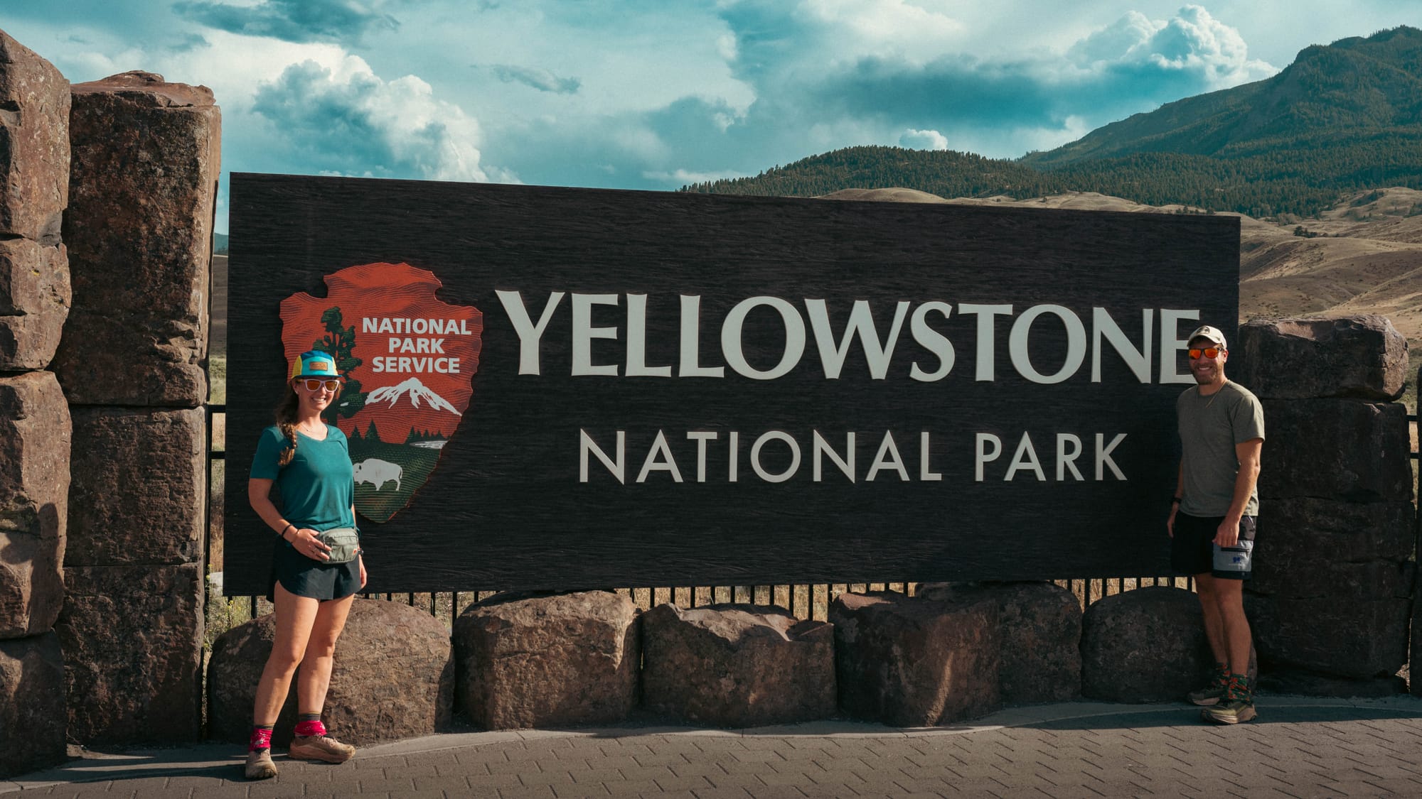
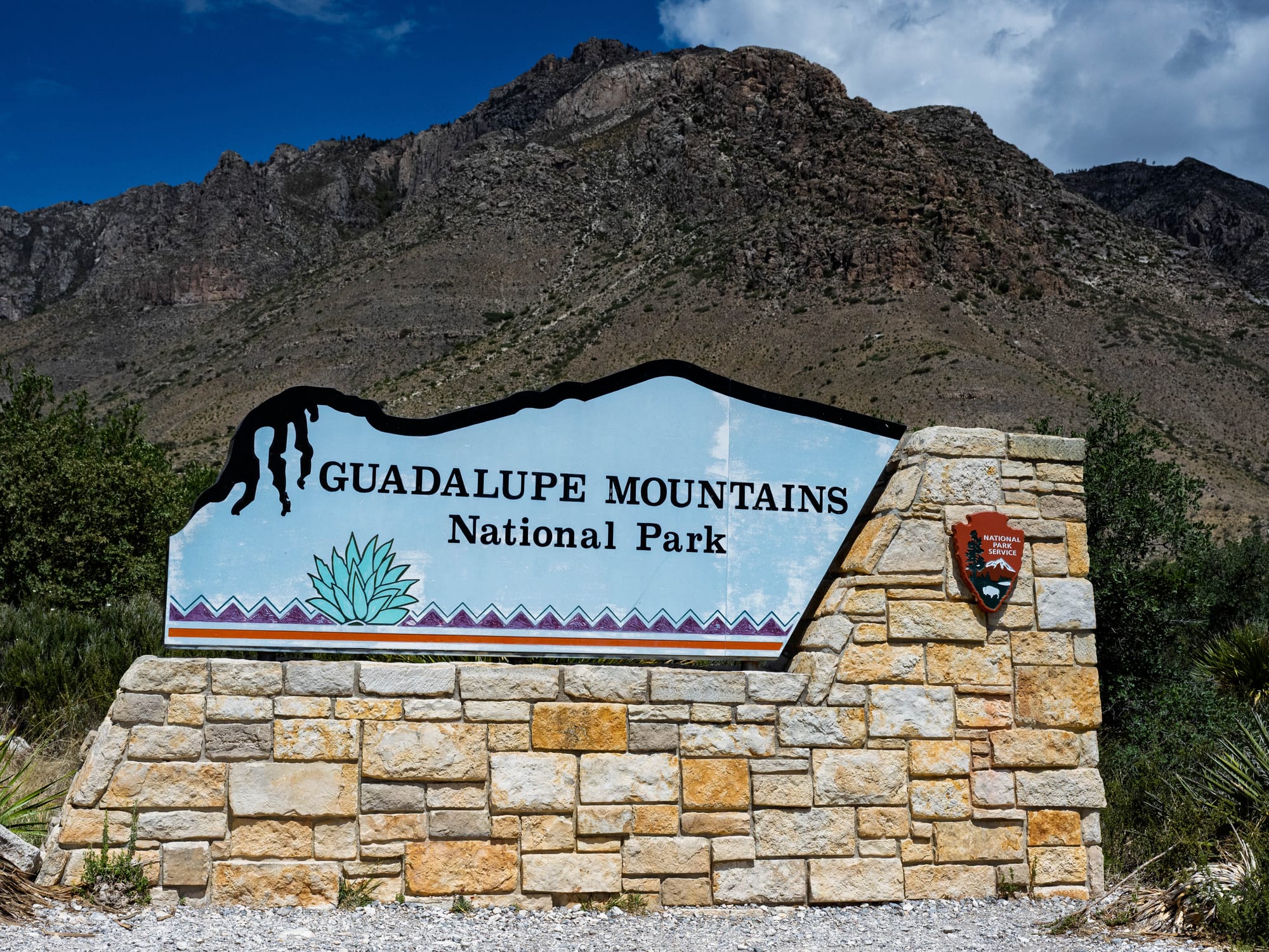
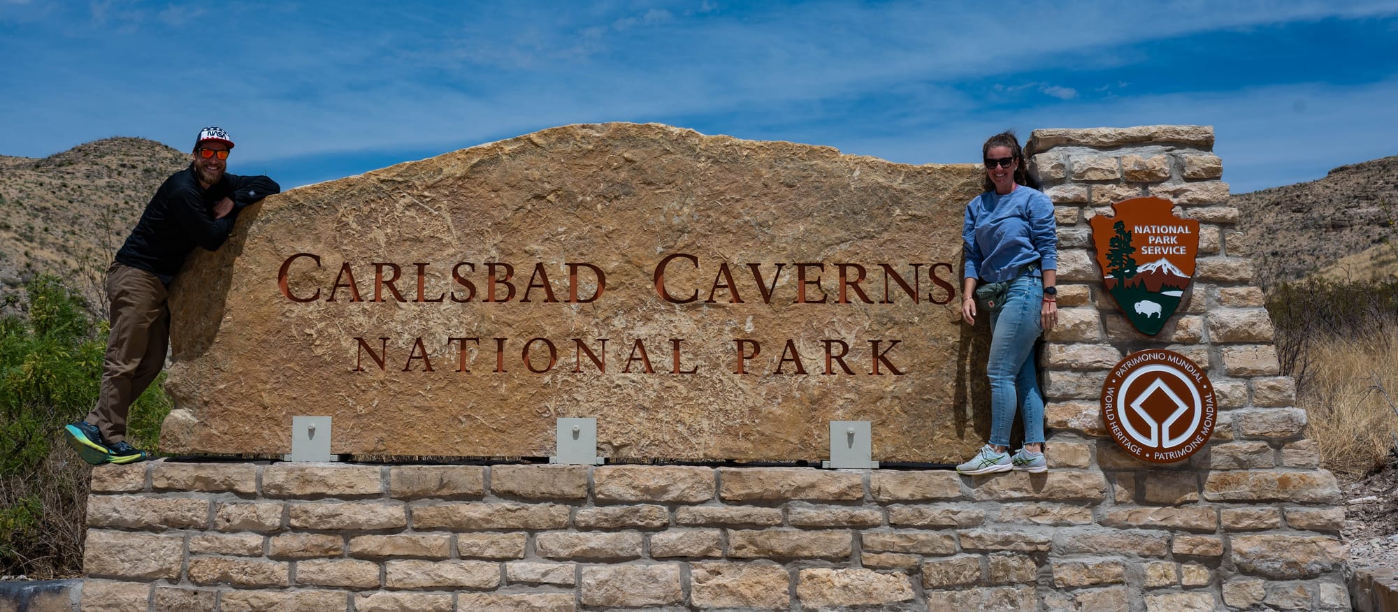
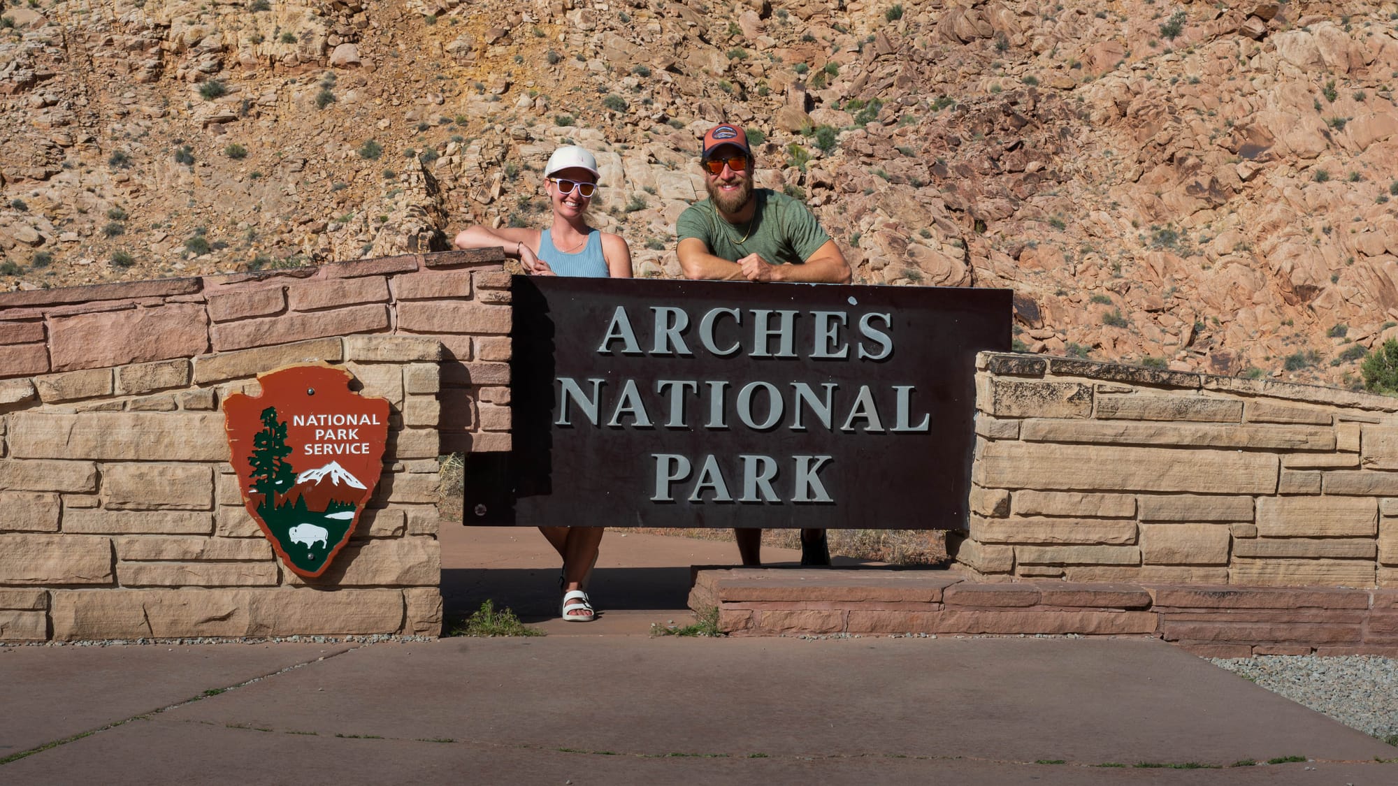
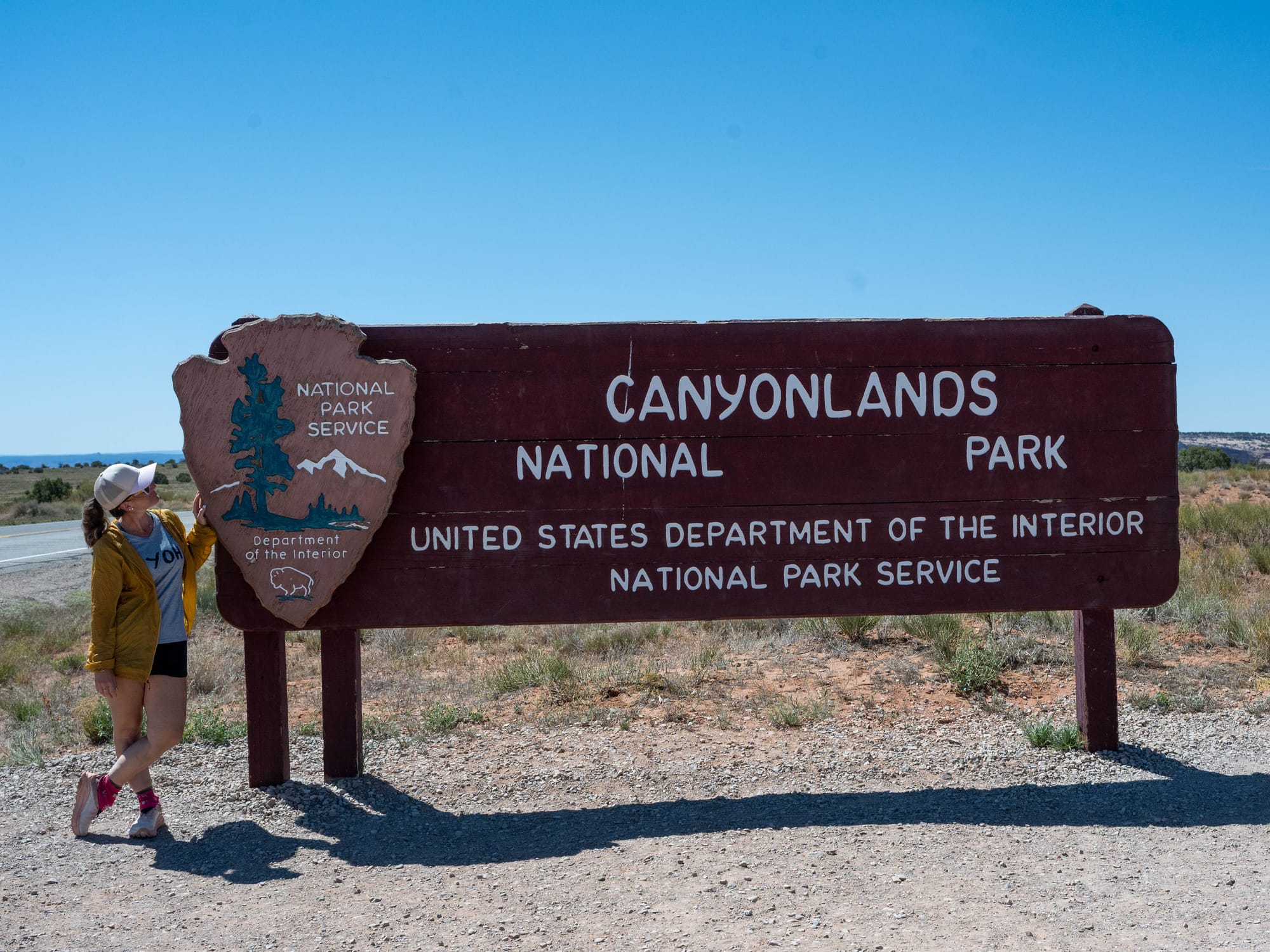
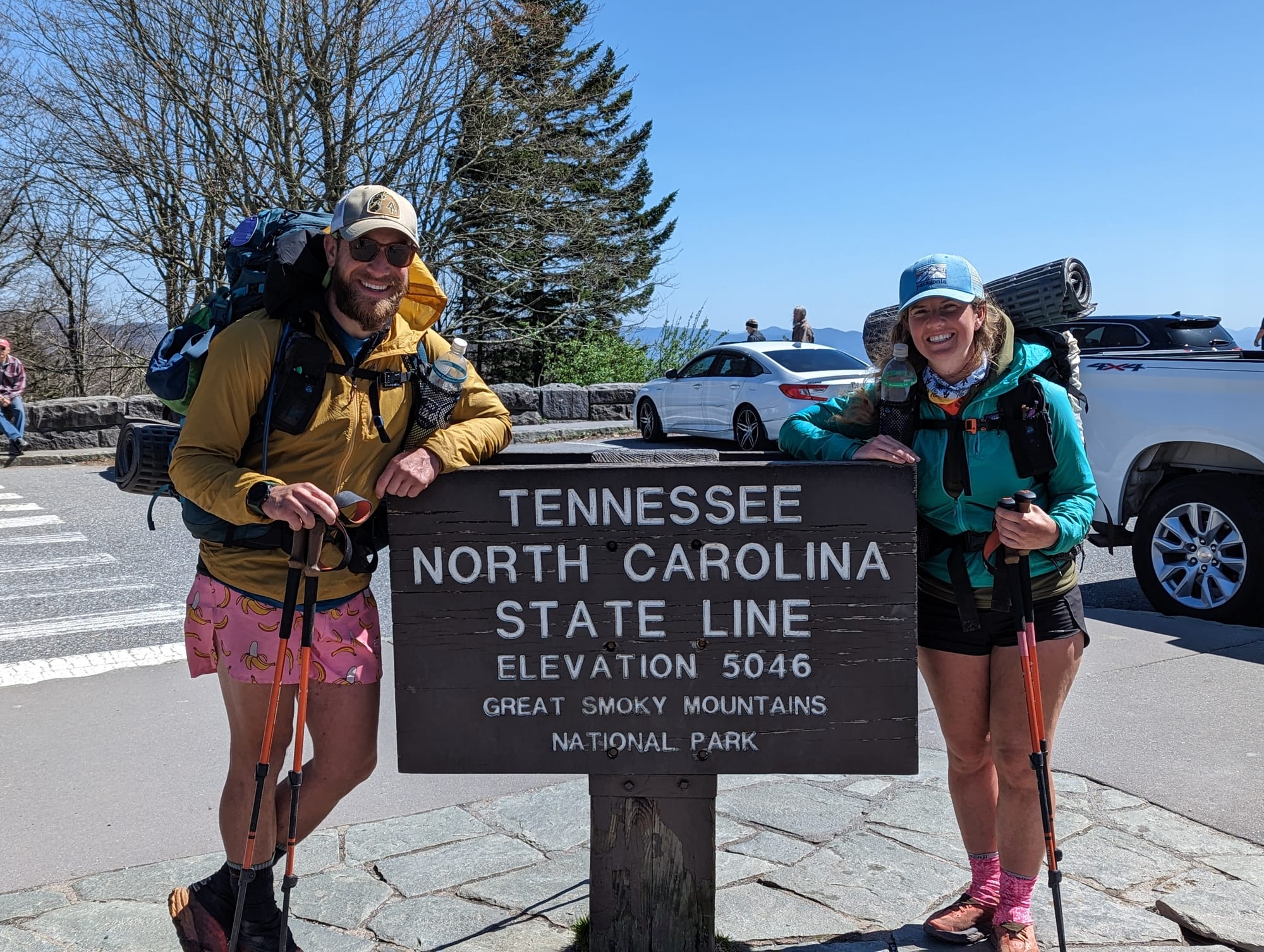
National parks are strongly protected from most ordinary commercial extraction, but they are not necessarily the country’s least-developed public lands.
Their governing principle contains a tension: conserve nationally significant natural and cultural resources while making them available for public enjoyment.
That balance explains the familiar park landscape. Roads, overlooks, campgrounds, visitor centers, lodges, and shuttle systems organize and concentrate access.
A national park can therefore be more protected from logging, mining, or grazing than the surrounding national forest while containing far more pavement and visitor infrastructure.
Congress creates national parks through legislation. A president signs the legislation into law but cannot proclaim a national park under the same authority used for monuments.
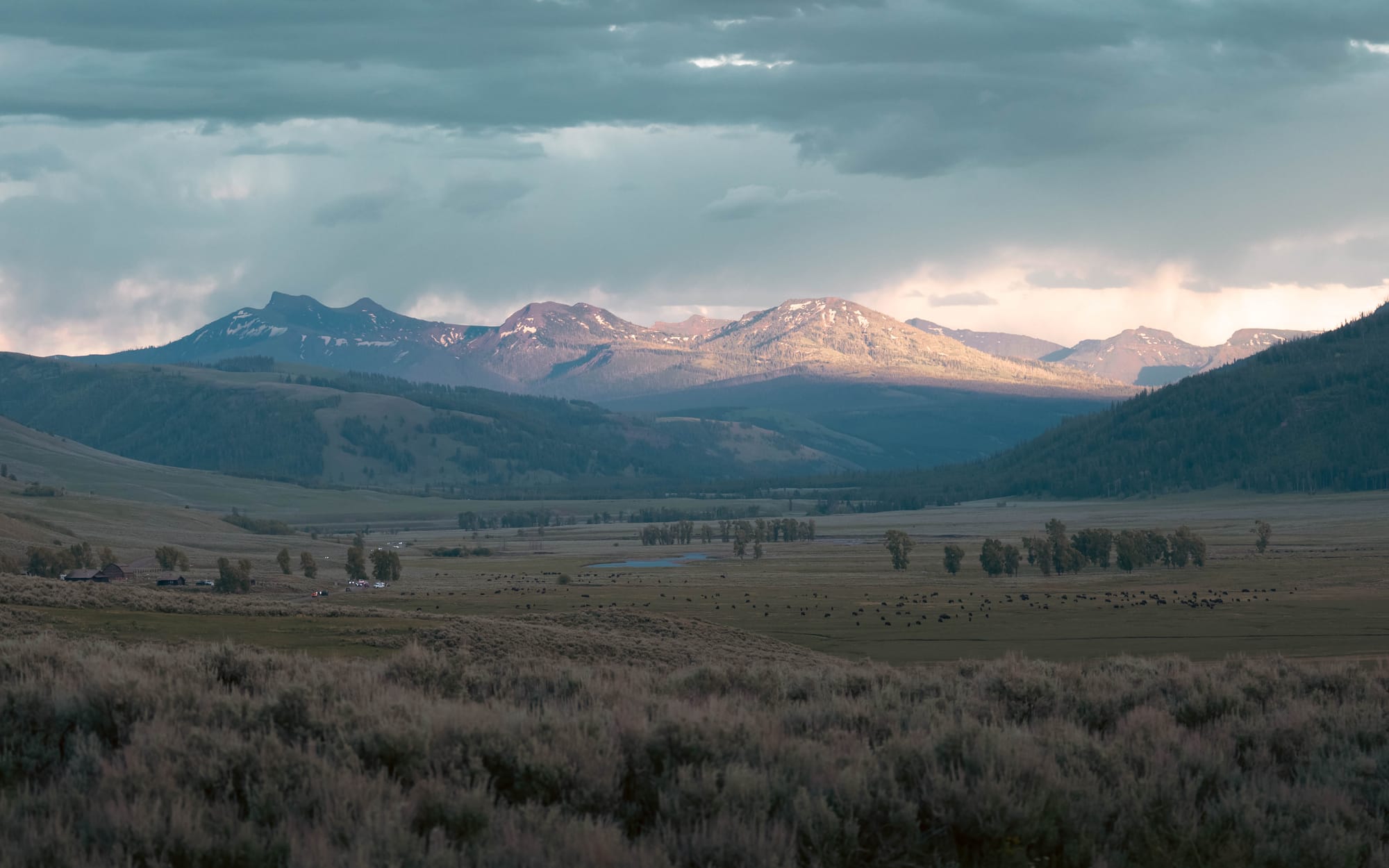
Yellowstone became the first national park in 1872, when Congress set it aside as a “public park or pleasuring-ground for the benefit and enjoyment of the people.”
There are a few qualifications behind that familiar claim. Hot Springs in Arkansas was federally reserved in 1832 but did not become a national park until 1921. Yosemite Valley and the Mariposa Grove received federal protection in 1864 but were initially transferred to California. Yellowstone was the first place Congress formally established as a national park.
The National Park Service itself was not created until 1916. Yellowstone was initially managed by the Department of the Interior, and the U.S. Army administered it for part of its early history.
Some national parks also contain congressionally designated wilderness, placing stricter protection beyond their developed corridors.
National Seashores and Lakeshores
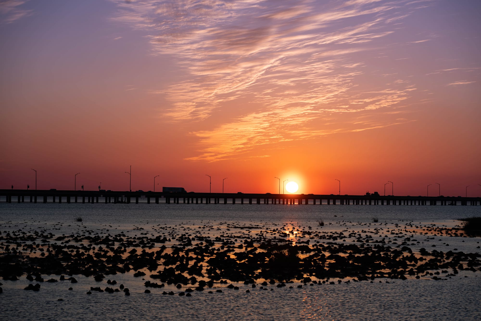
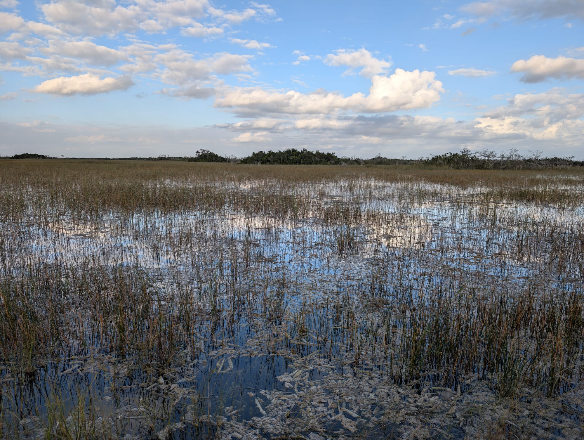
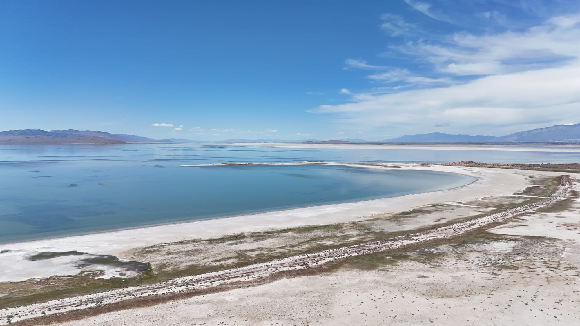
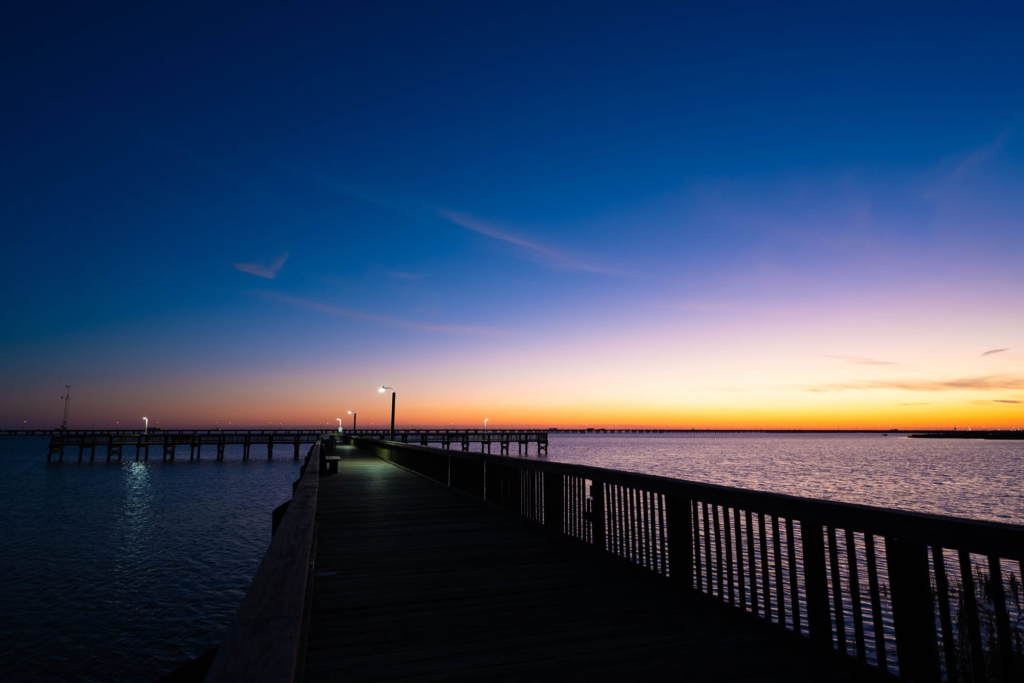
National seashores and lakeshores are units of the National Park System focused on ocean coasts, Great Lakes shores, barrier islands, dunes, wetlands, and offshore islands.
Congress generally establishes them, and the National Park Service manages them under the same broad preservation mandate as national parks.
That does not make them continuous strips of undeveloped shoreline.
A national seashore may include paved beach access, campgrounds, historic villages, lighthouses, boat routes, and areas reachable only by foot or water. National lakeshores may include cliffs, islands, inland forests, dunes, historic structures, and developed recreation areas.
Their protection level is similar to that of national parks. Ordinary commercial extraction and incompatible development are generally restricted, but public access and recreation remain central.
Cape Hatteras in North Carolina was the first national seashore. Congress authorized it in 1937, though land acquisition continued before it was formally established in 1953.
Pictured Rocks in Michigan became the first national lakeshore in 1966. All three national lakeshores are currently located on the Great Lakes.
Like national parks, seashores and lakeshores may also contain designated wilderness.
National Wildlife Refuges
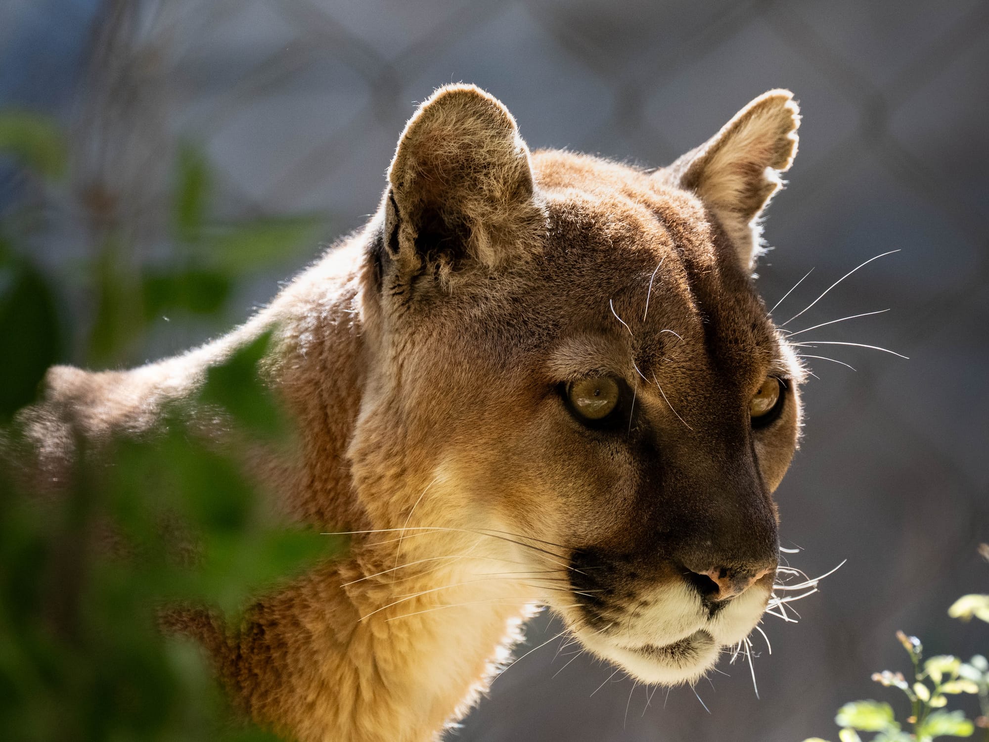
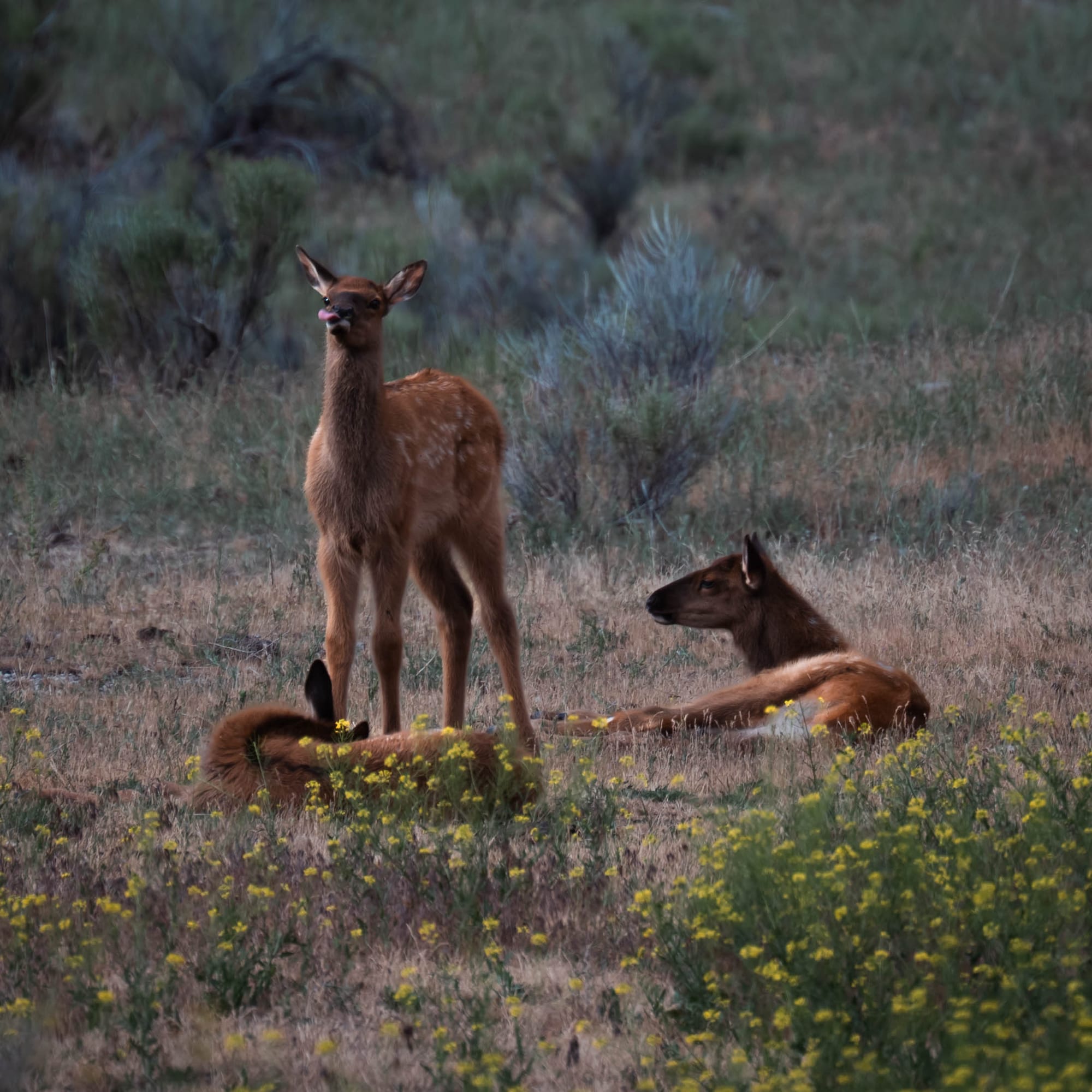
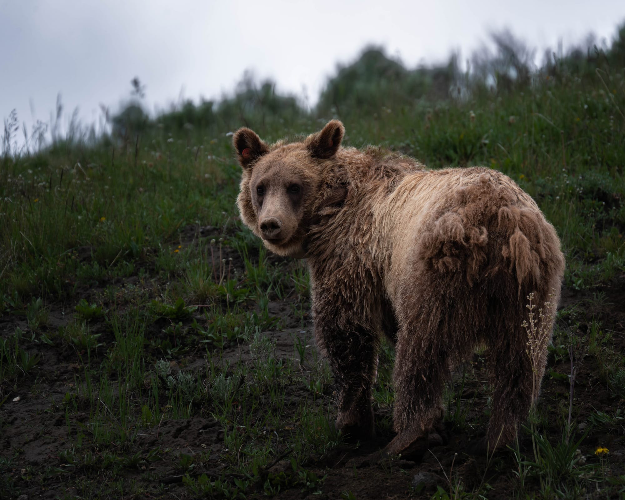
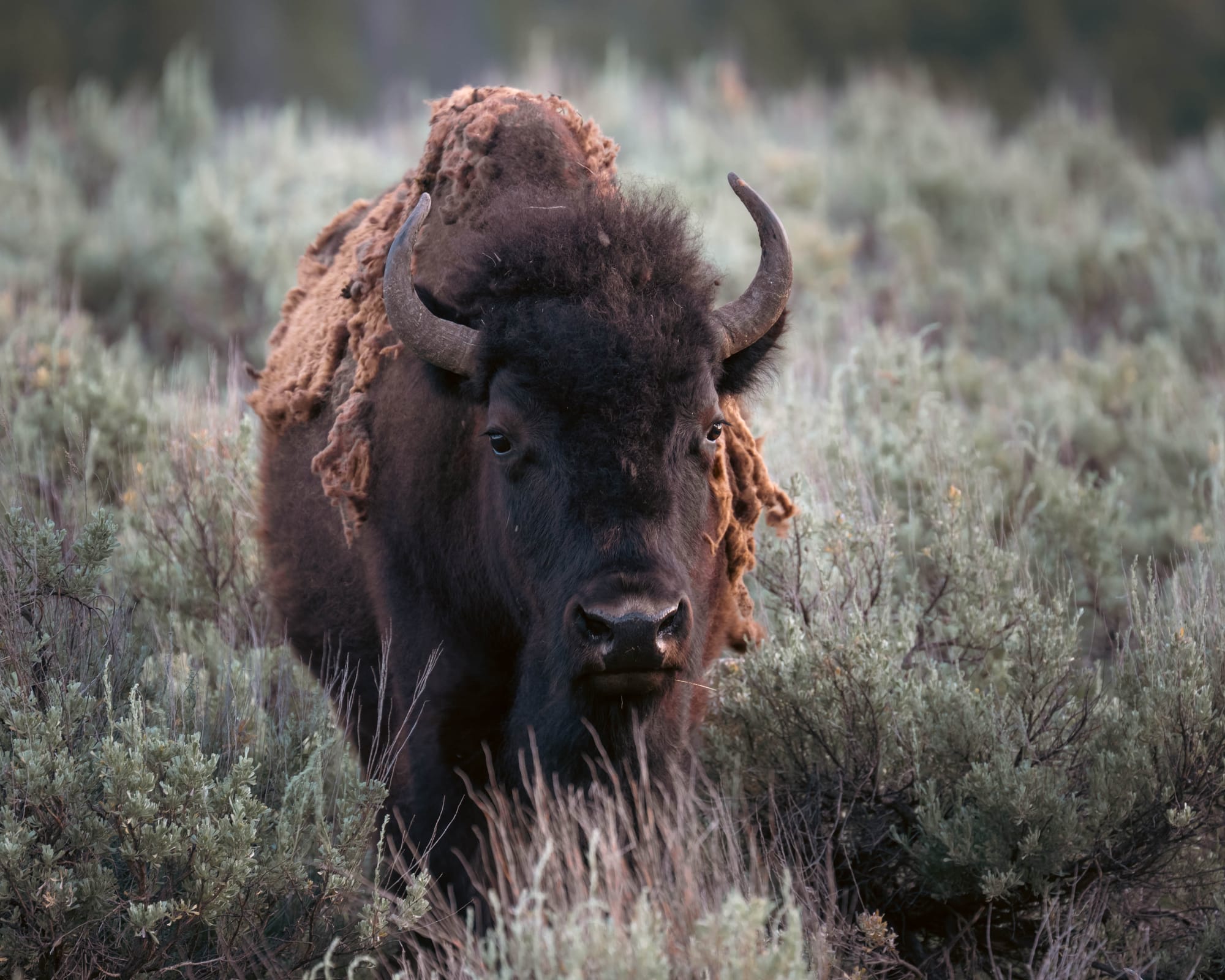
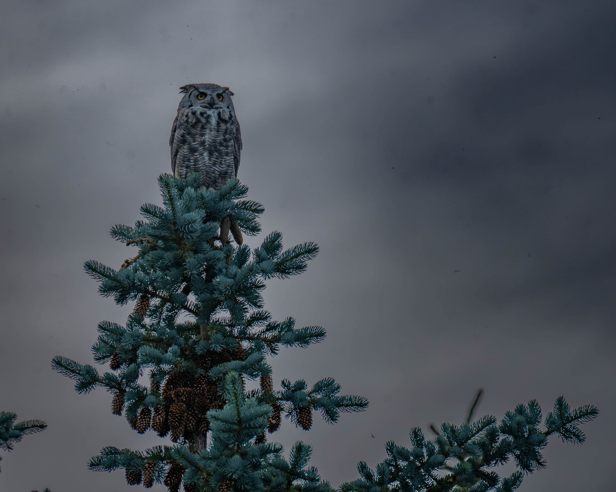
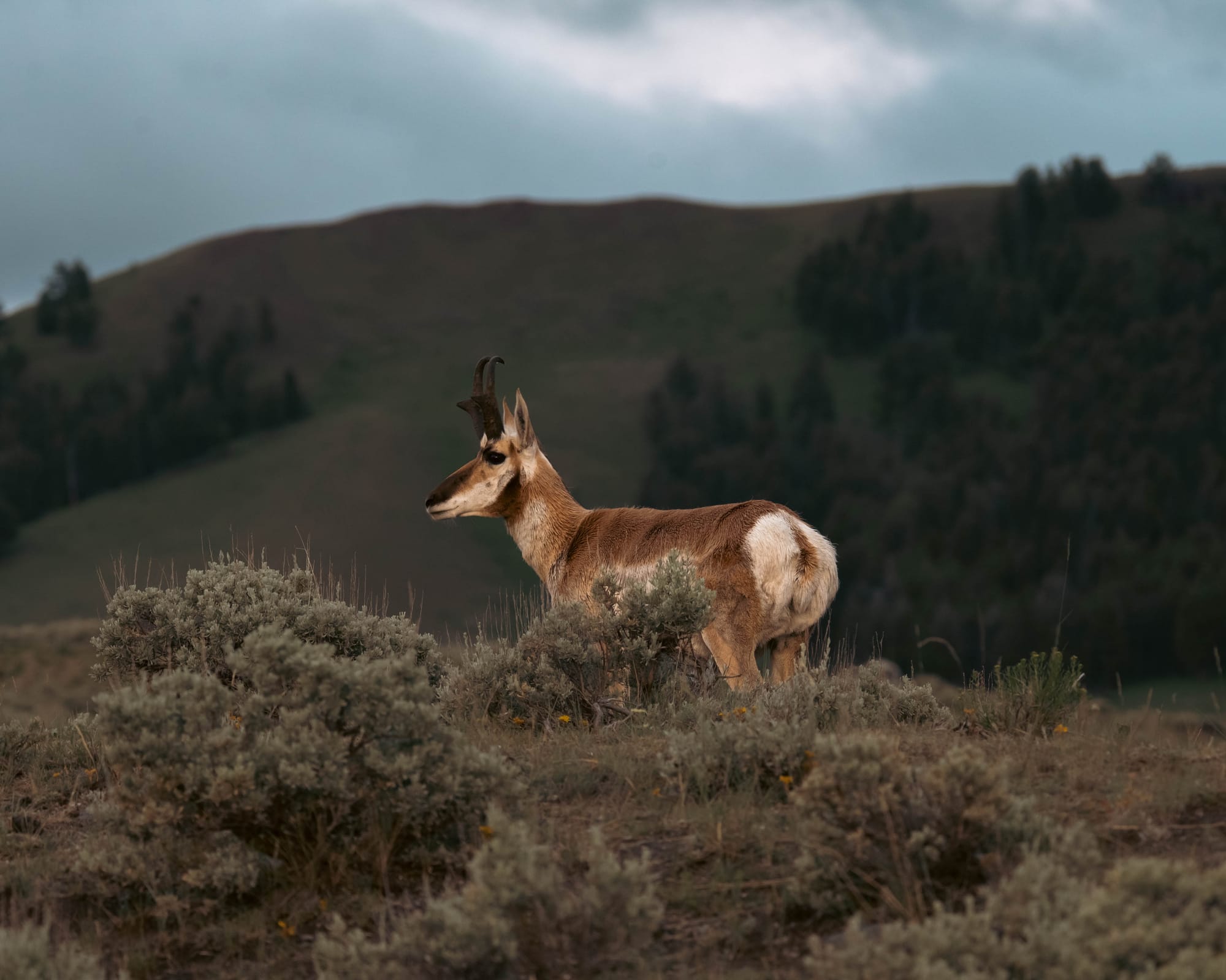
National wildlife refuges place wildlife and habitat at the center of management.
That can produce strong protection without creating universal restrictions. Hunting, fishing, wildlife viewing, photography, and other recreation may be allowed when compatible with the refuge’s purpose.
Access may also change during nesting, breeding, or migration periods. A trail, shoreline, or island open during one season may close during another.
The distinction is one of priority. Recreation is accommodated when it does not conflict with conservation. The species and habitat for which the refuge exists come first.
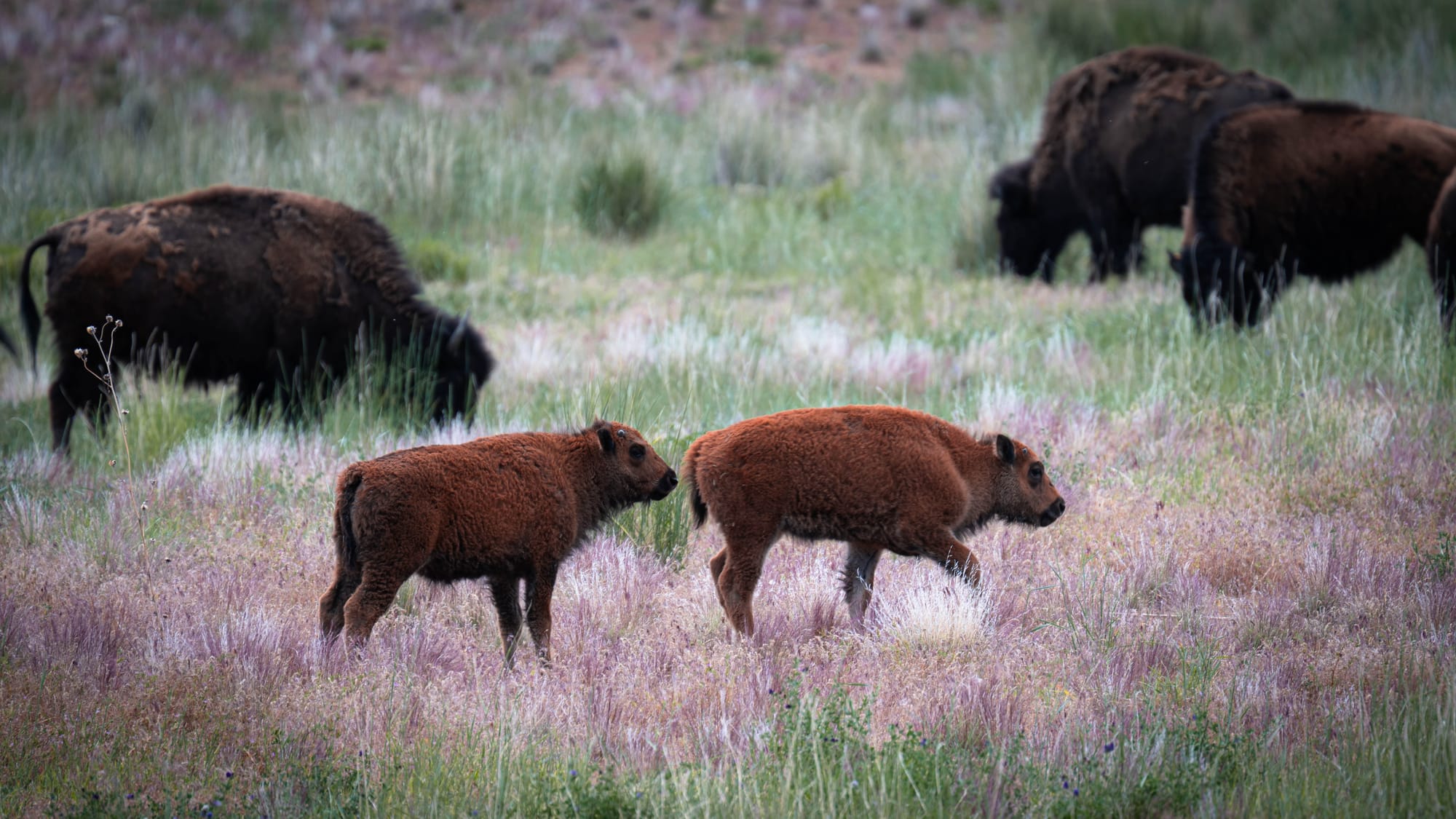
Refuges have been created through acts of Congress, executive orders, presidential proclamations, and administrative acquisition under authority granted by Congress.
Pelican Island in Florida became the first national wildlife refuge in 1903. President Theodore Roosevelt established it by executive order to protect nesting birds threatened by the plume trade.
Congress later designated part of the refuge as wilderness in 1970.
One small place therefore demonstrates the overlapping system clearly: a president created the refuge, the Fish and Wildlife Service manages it, and Congress added wilderness protection within it.
National Monuments
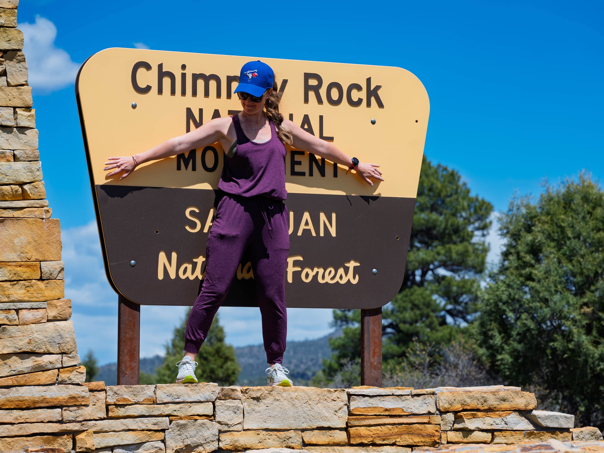
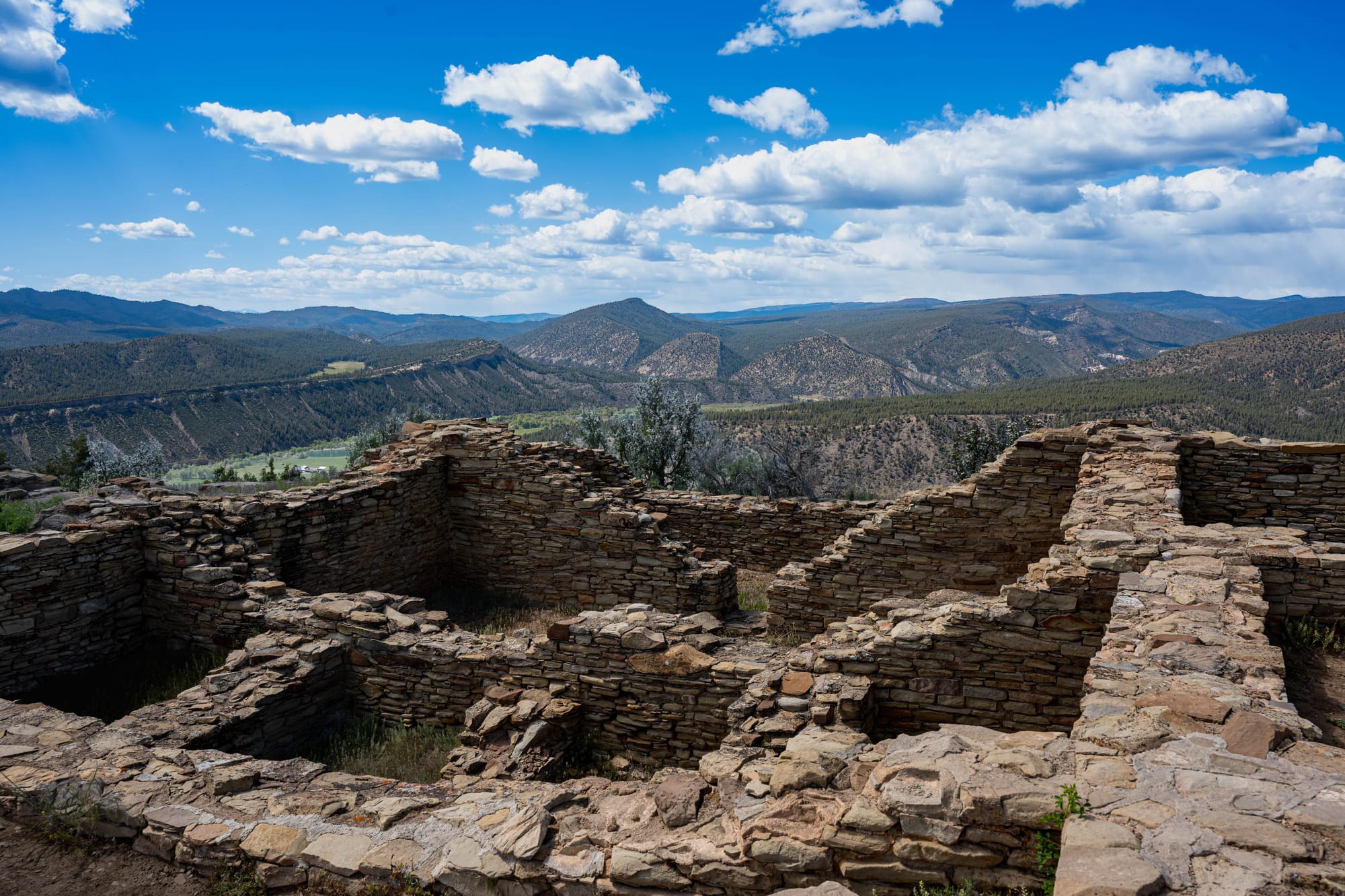
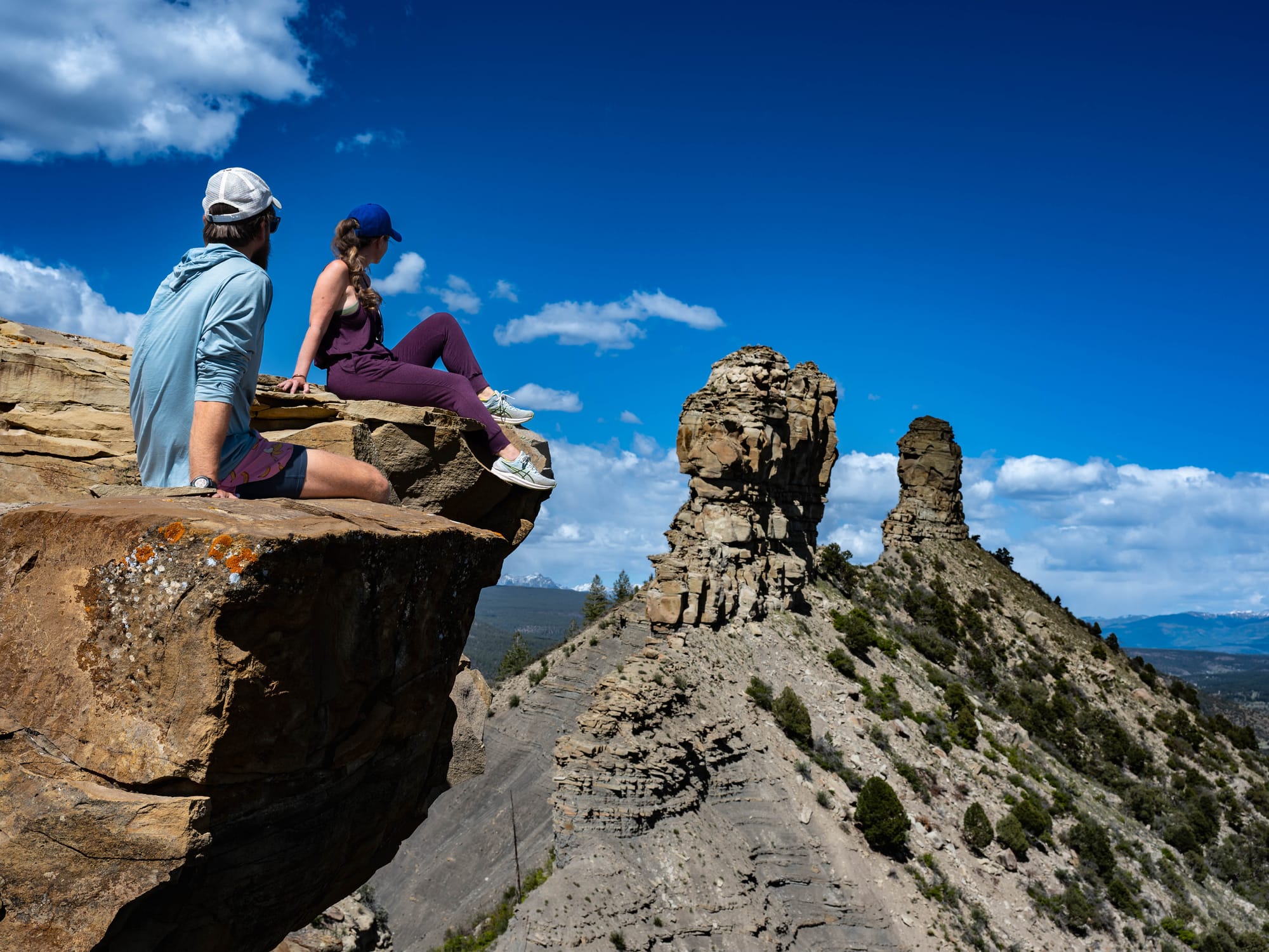
National monuments resist a fixed position on the protection spectrum.
A Park Service monument protecting ruins, fossils, geology, or a historic site may function much like a national park. A large BLM monument may continue to allow hunting, grazing, dispersed camping, and vehicle travel on designated routes while protecting cultural sites, habitat, or an interconnected landscape.
Congress can establish a national monument through legislation. A president can also proclaim one on federally owned or controlled land under the Antiquities Act of 1906.
The establishing law or proclamation identifies what must be protected. The managing agency determines what that protection looks like on the ground.
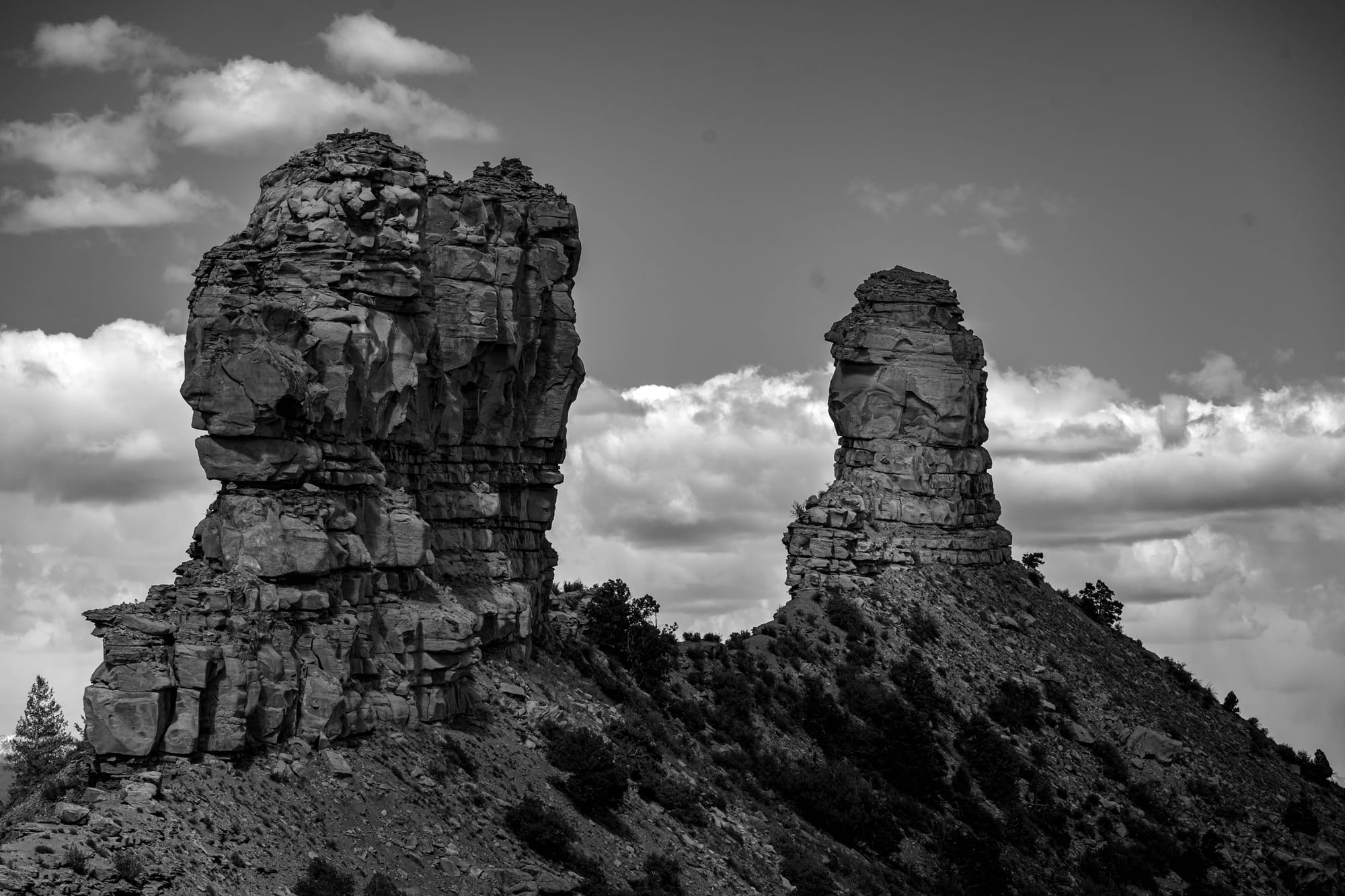
Devils Tower in Wyoming became the first national monument on September 24, 1906. President Theodore Roosevelt proclaimed it only a few months after the Antiquities Act became law.
Several places that began as monuments later became national parks through acts of Congress. Grand Canyon, Zion, Acadia, Olympic, and Arches all followed some version of that path.
Others remain monuments because the designation fits what they protect. Some preserve a single structure, fossil site, or geological formation. Others cover vast landscapes containing cultural sites, habitat, watersheds, and ongoing traditional uses.
The monument designation is better understood as a legal tool than as a consistent visitor experience.
National Forests
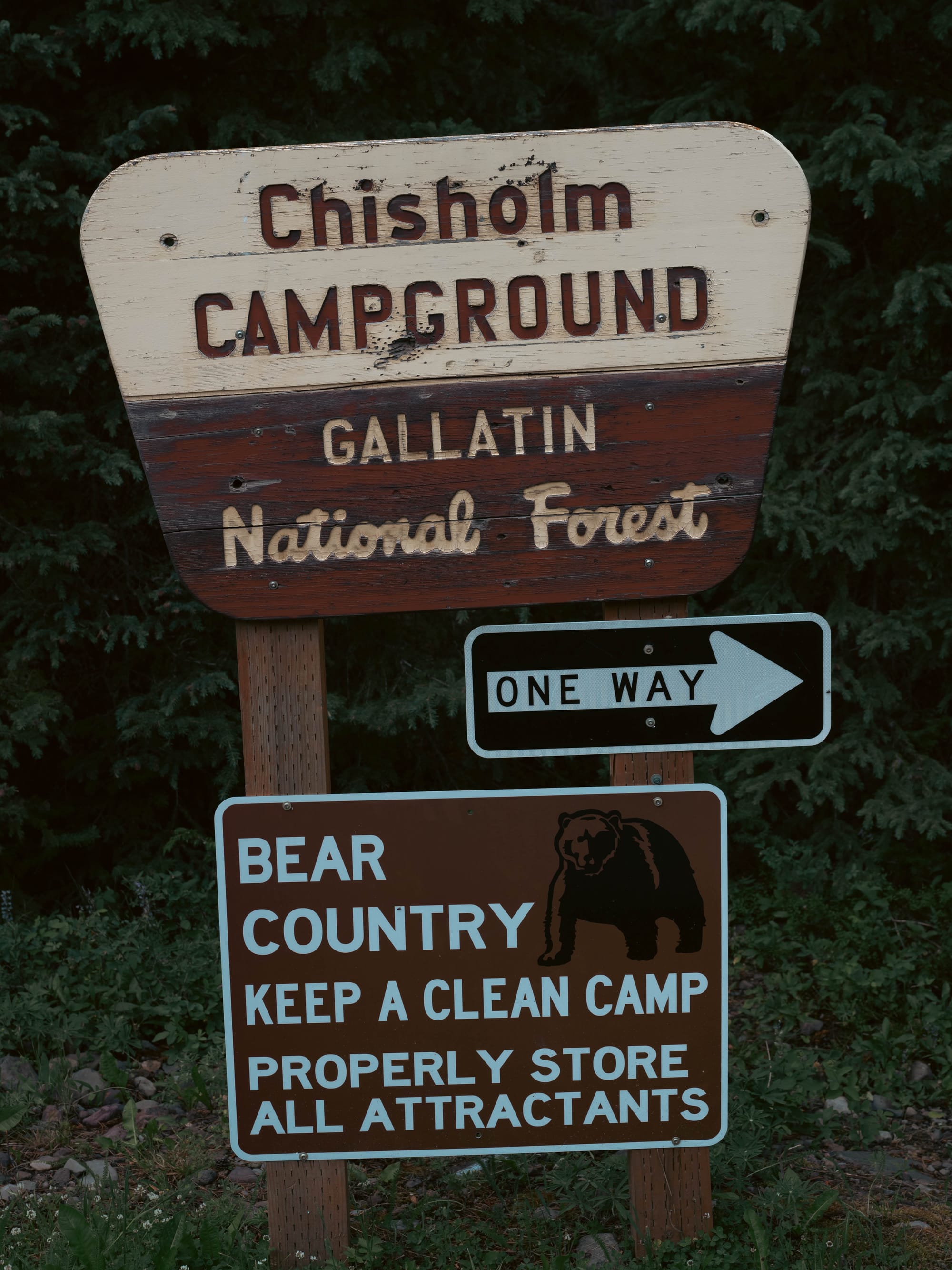
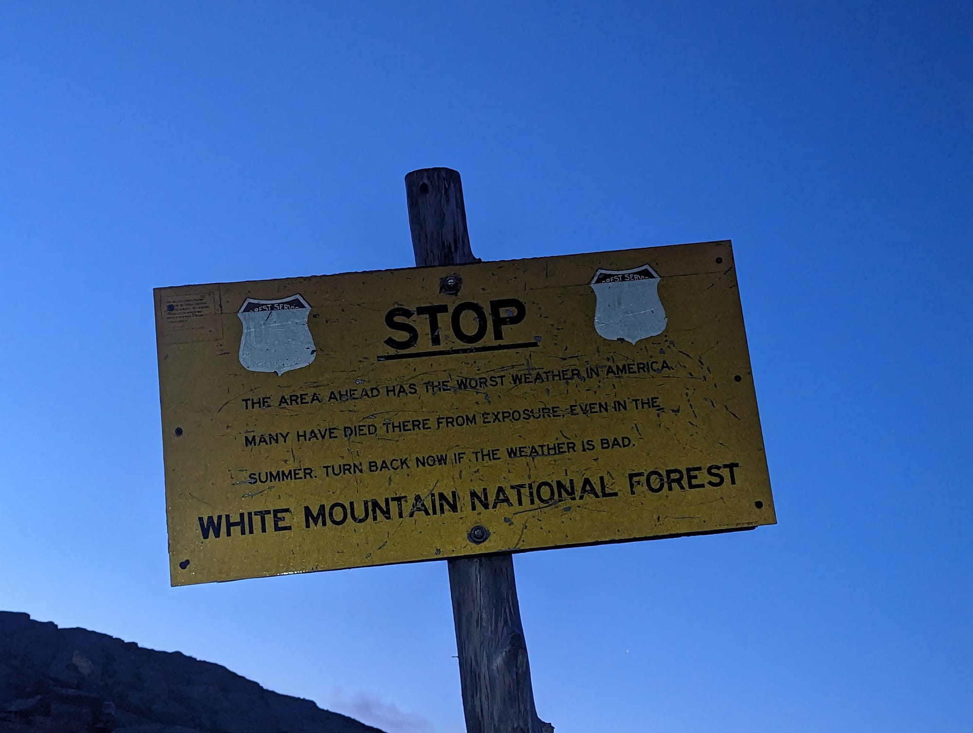
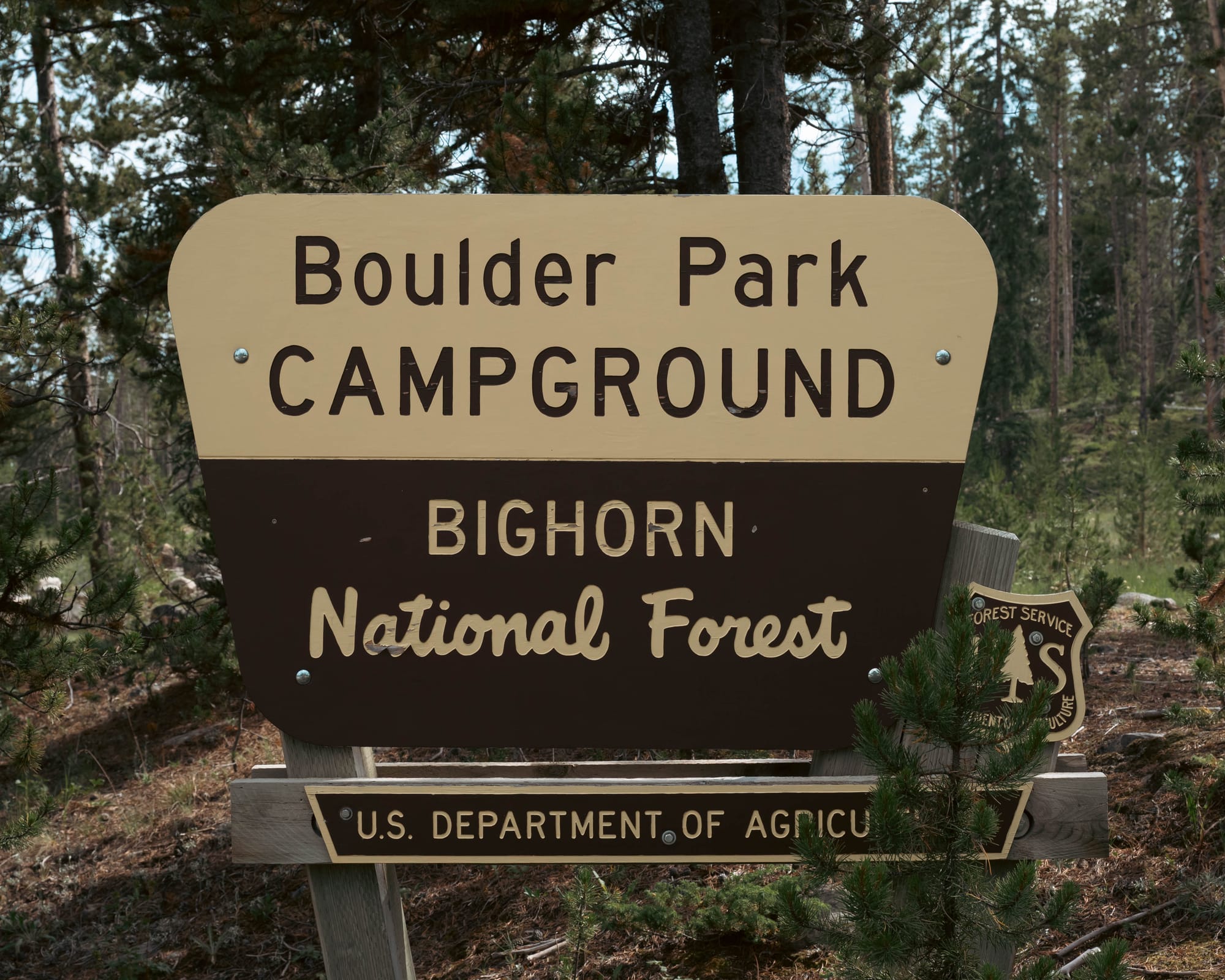
National forests are protected public lands, but preservation is not their only purpose.
They are managed for recreation, timber, grazing, watersheds, fish, wildlife, and other uses, with different priorities emphasized in different places.
That mandate becomes visible as we move through them.
One road may lead to a developed campground. Another reaches a dispersed site with no services. Farther along, we may pass cattle, a ski area, a reservoir, a motorized trail, or a wilderness boundary.
This does not make national forests failed national parks. They were built around a different idea: managing a working landscape for several public purposes while sustaining its resources over time.
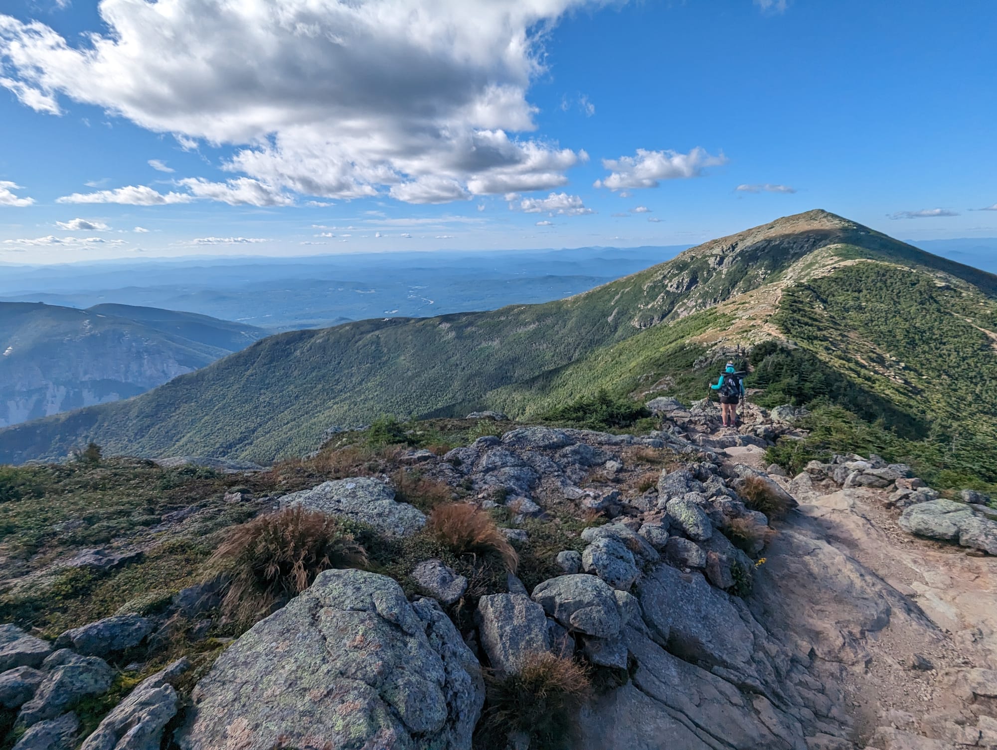
The national forest story began before the Forest Service existed.
In 1891, Congress authorized the president to reserve forested public land. President Benjamin Harrison used that authority to create the Yellowstone Park Timber Land Reserve, the country’s first forest reserve. Much of that land later became part of Shoshone National Forest, generally recognized as the country’s first national forest.
The Forest Service was established in 1905. Congress later expanded and clarified national forest purposes through laws governing timber, recreation, grazing, watersheds, fish, and wildlife.
Today’s national forest boundaries are the result of presidential proclamations, acts of Congress, purchases, transfers, exchanges, and administrative changes.
National forests also demonstrate why management agency and protection level are not the same thing. The same forest can contain developed recreation, grazing, logging roads, dispersed campsites, and congressionally designated wilderness.
Bureau of Land Management (BLM) Land
The Bureau of Land Management oversees much of the broad federal estate remaining across the West.
Like the Forest Service, the BLM works under a multiple-use and sustained-yield mandate. General BLM land may support recreation, conservation, livestock grazing, mineral extraction, energy development, timber, and other authorized uses.
This is one of the clearest examples of why appearance can be misleading.
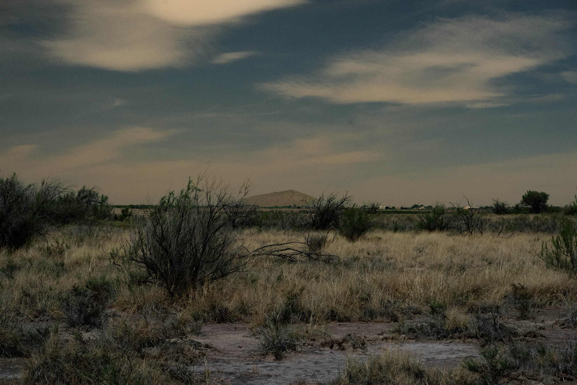
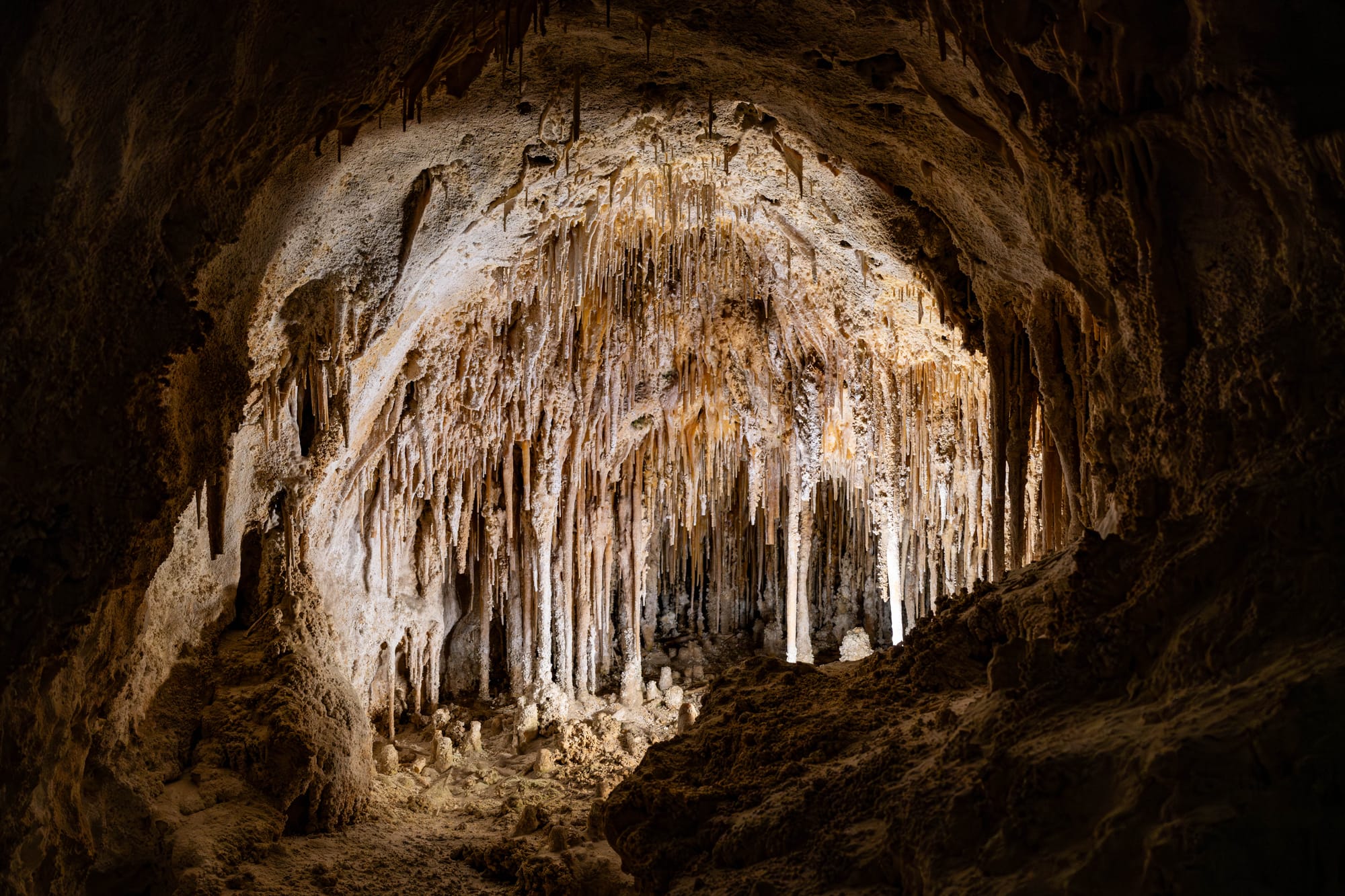
A desert basin reached by an unmaintained road may feel entirely wild. There may be no entrance booth, campground, or building for miles. Legally, however, it may remain open to activities that would never be permitted in a national park.
The BLM was created in 1946 when President Harry Truman’s Reorganization Plan combined the General Land Office and the U.S. Grazing Service.
Its modern framework came largely through the Federal Land Policy and Management Act of 1976. That law declared that most remaining public lands would generally stay in federal ownership and directed the BLM to manage them under multiple use and sustained yield.
That does not mean every activity must occur on every acre. It means the agency balances a broad range of authorized uses across the lands it manages.
BLM also oversees wilderness, national monuments, national conservation areas, wilderness study areas, and wild and scenic rivers. Those additional designations can substantially change what is allowed.
State Parks and State Forests
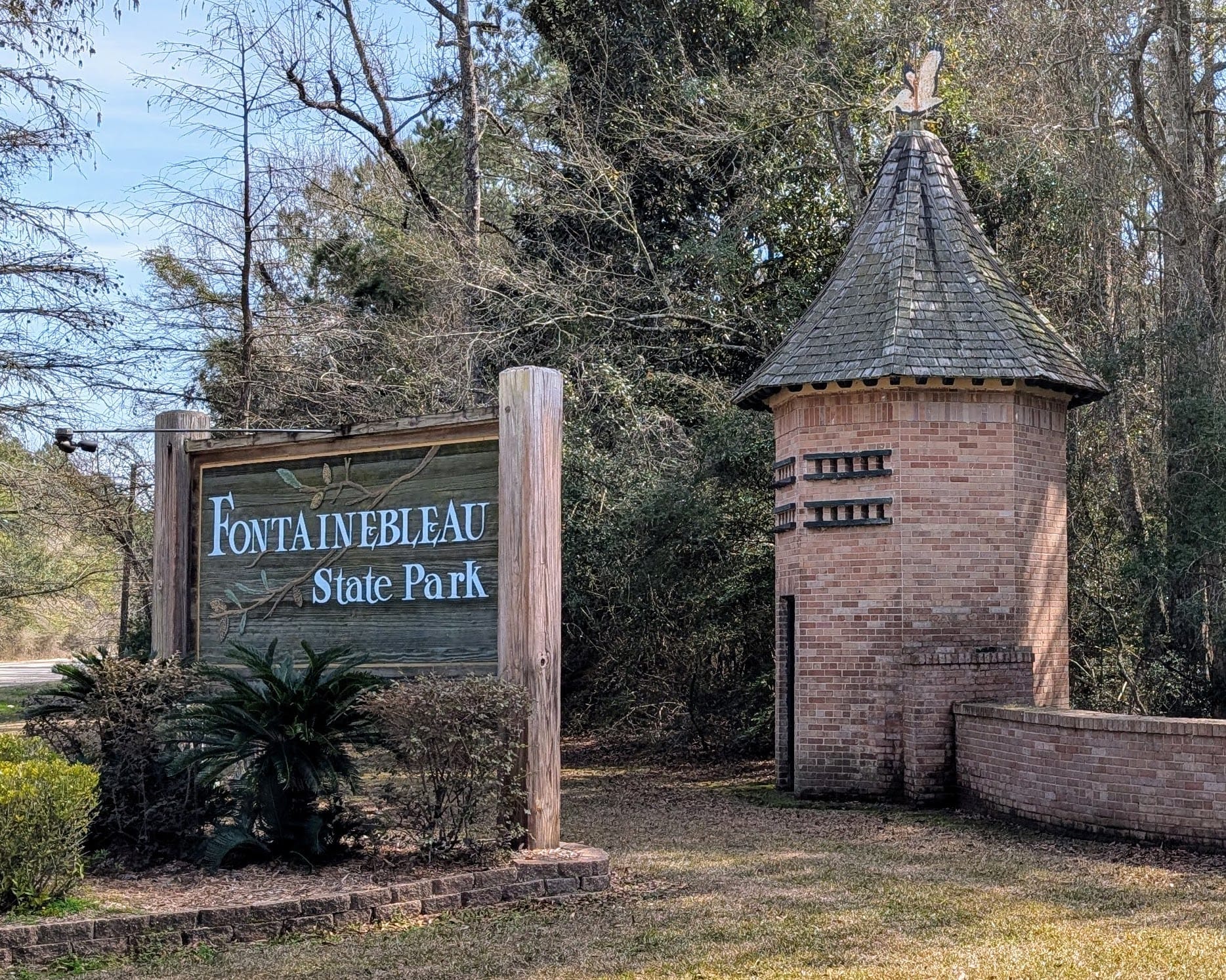
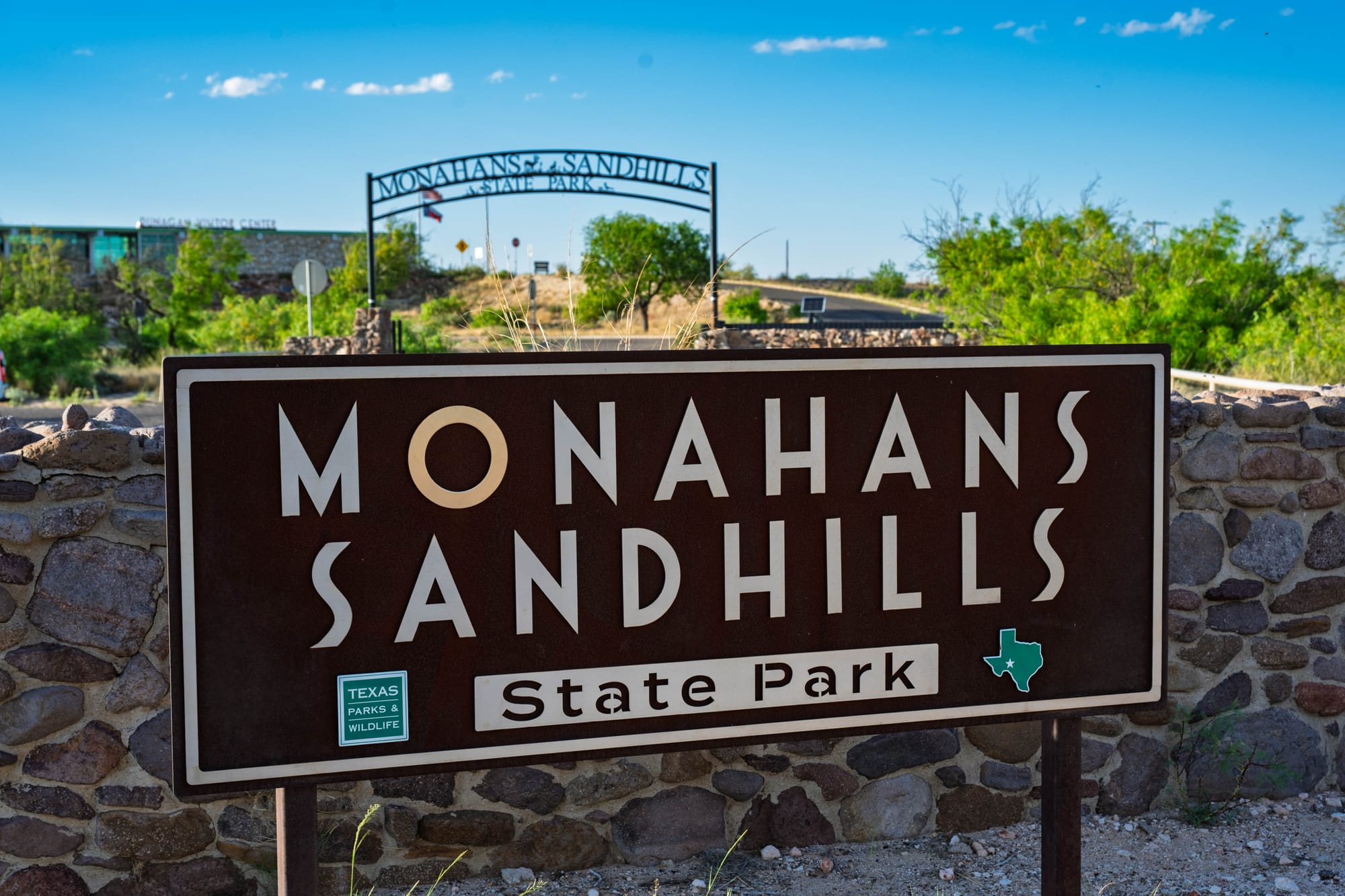
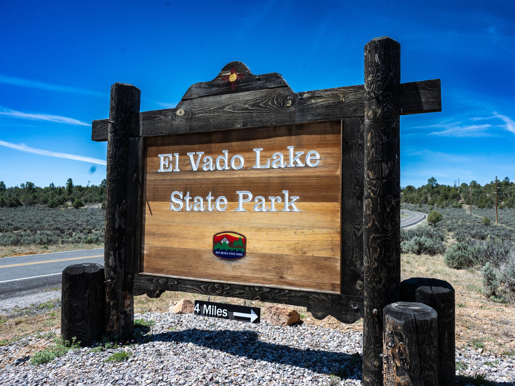
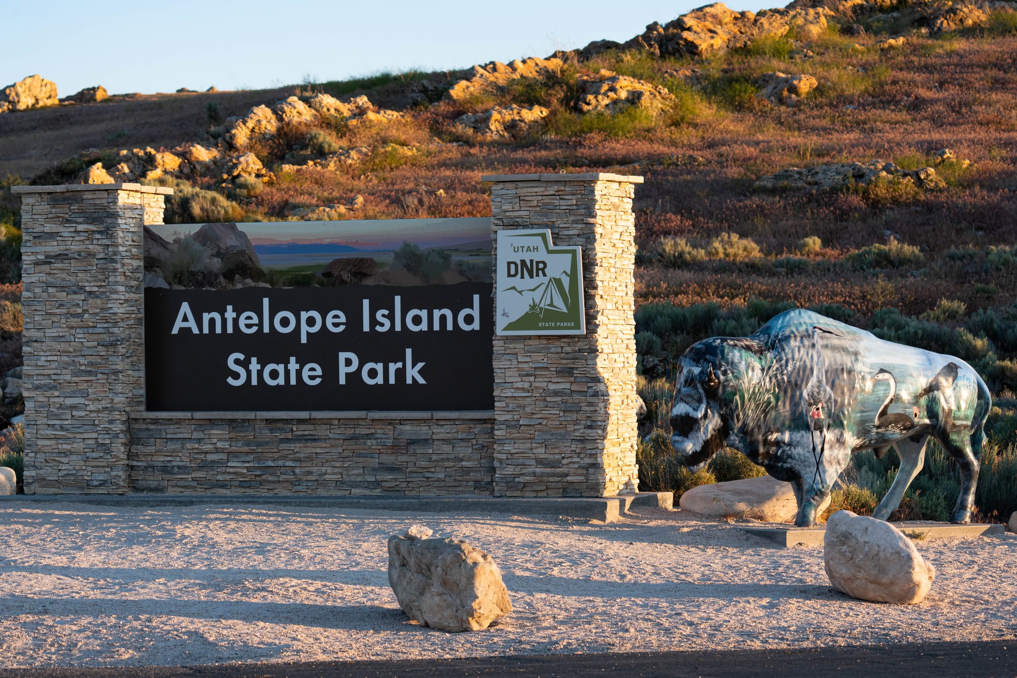
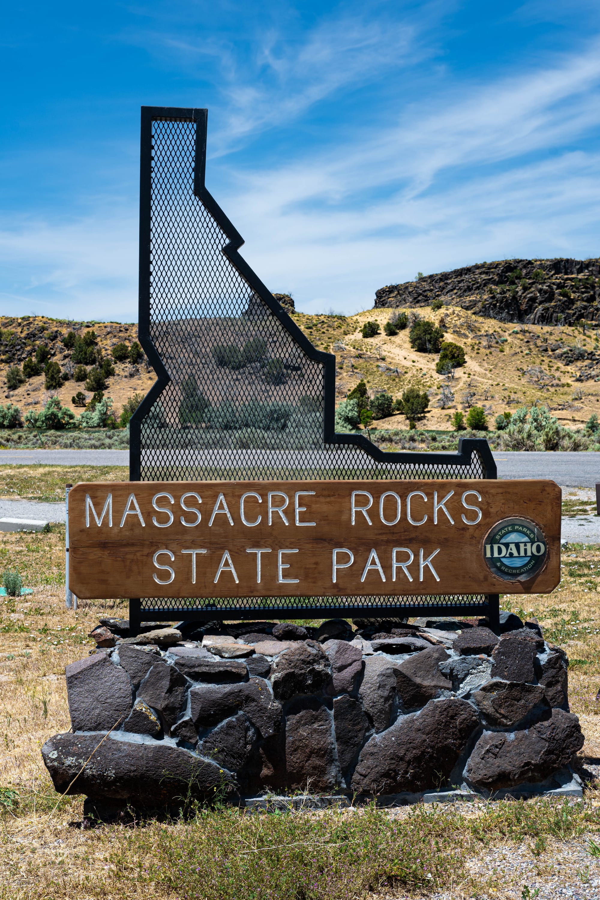
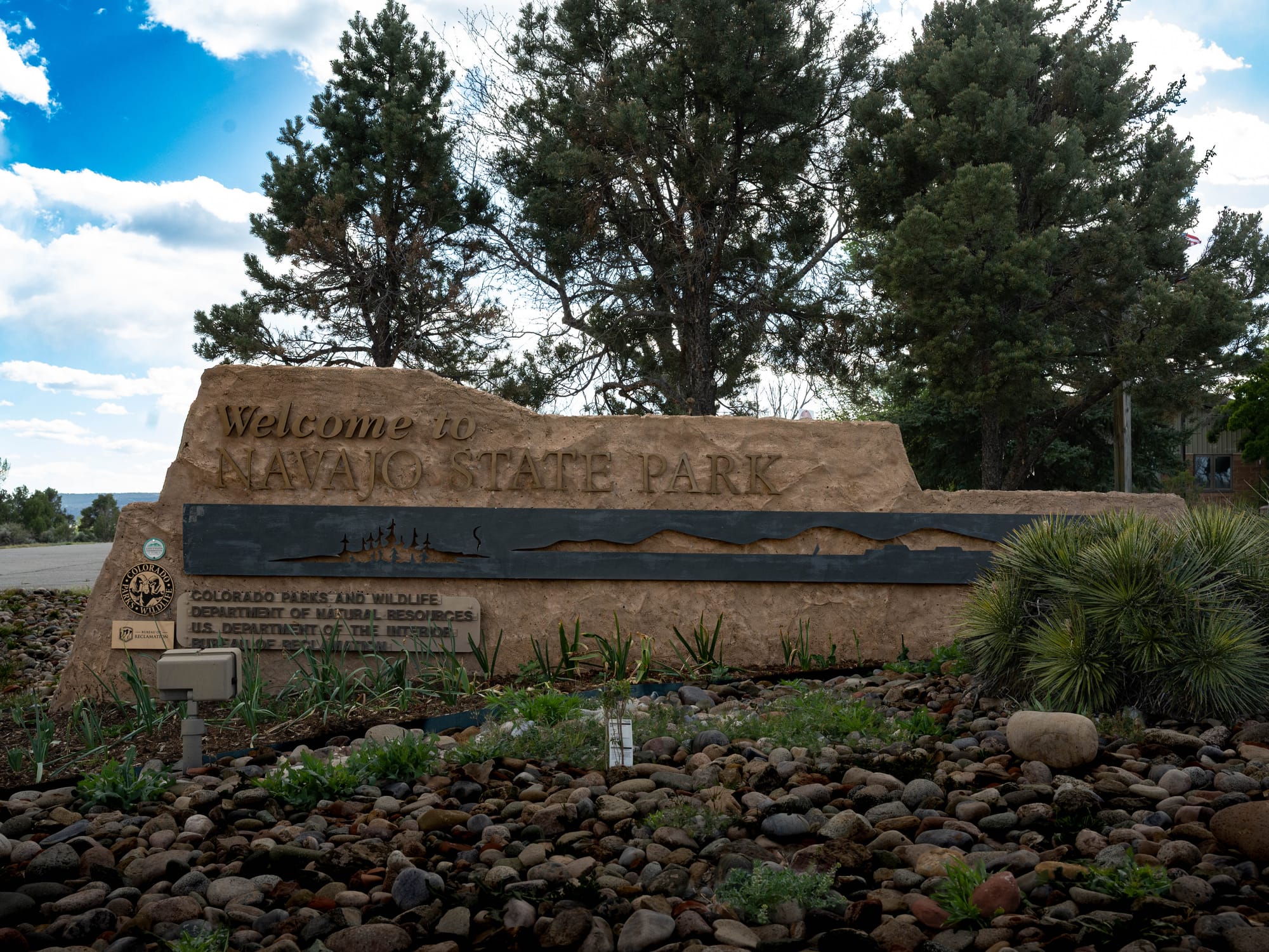
State lands do not fit neatly onto a national protection spectrum because each state has its own laws, agencies, funding systems, and priorities.
Some state parks protect fragile ecosystems, unusual geology, historic sites, or major natural landmarks. Others center on reservoirs, beaches, campgrounds, or recreation facilities.
A state forest may be managed for recreation and wildlife habitat while also supporting active timber production.
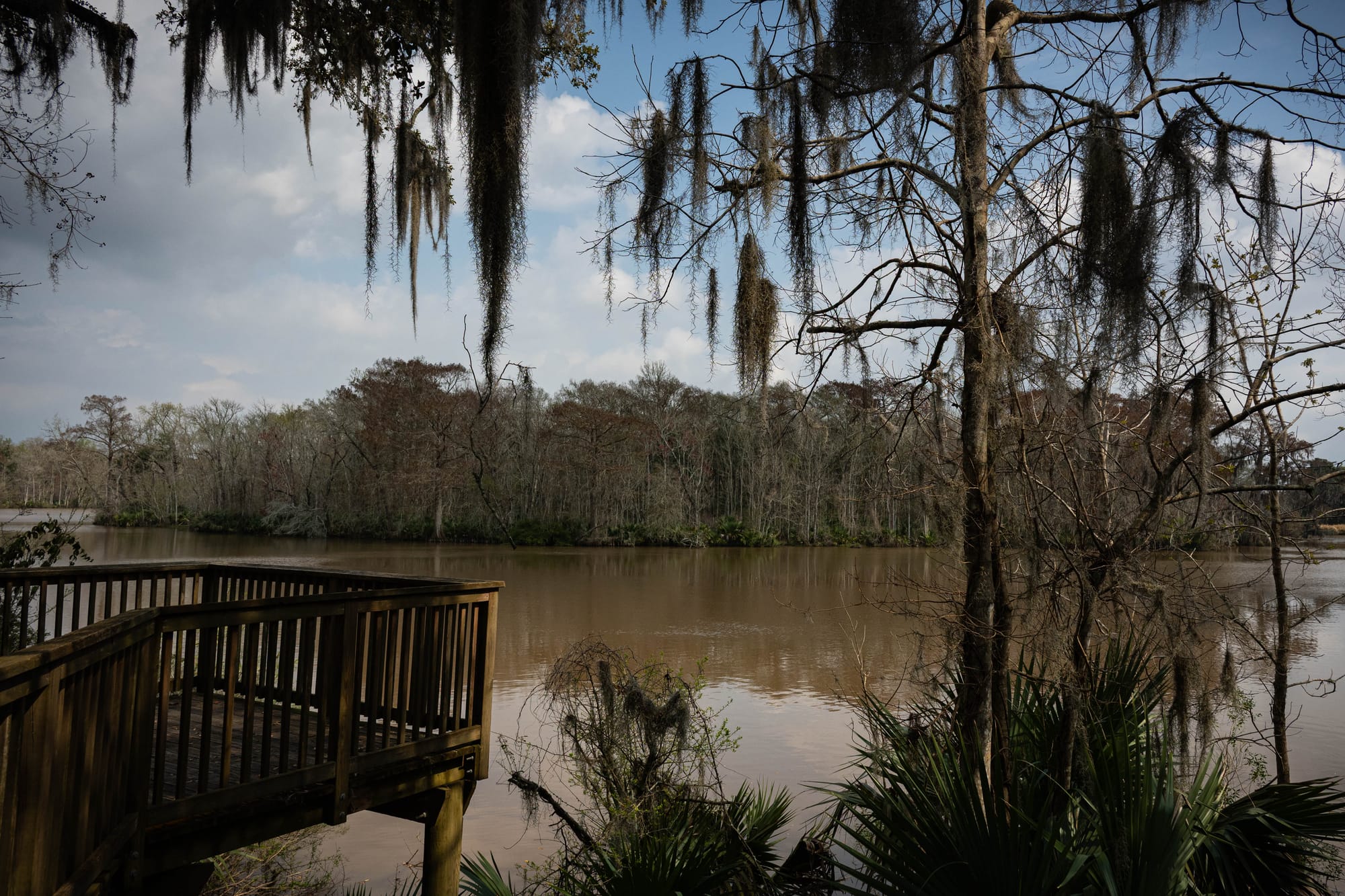
Who creates them also varies. A state legislature may establish a park or authorize a larger system. Governors, commissions, land boards, and state agencies may acquire or classify properties under authority granted by state law.
The level of protection must therefore be read from the individual state and property, not from the words “state park” alone.
Our stays have made those differences obvious.
Some state parks feel like carefully preserved natural landscapes. Some function primarily as access to water. Others are campground-centered places that make a larger region easier to explore. A few feel more developed than nearby federal parks, while others protect places that seem every bit as wild.
They are all public lands, but they are not all being asked to serve the same purpose.
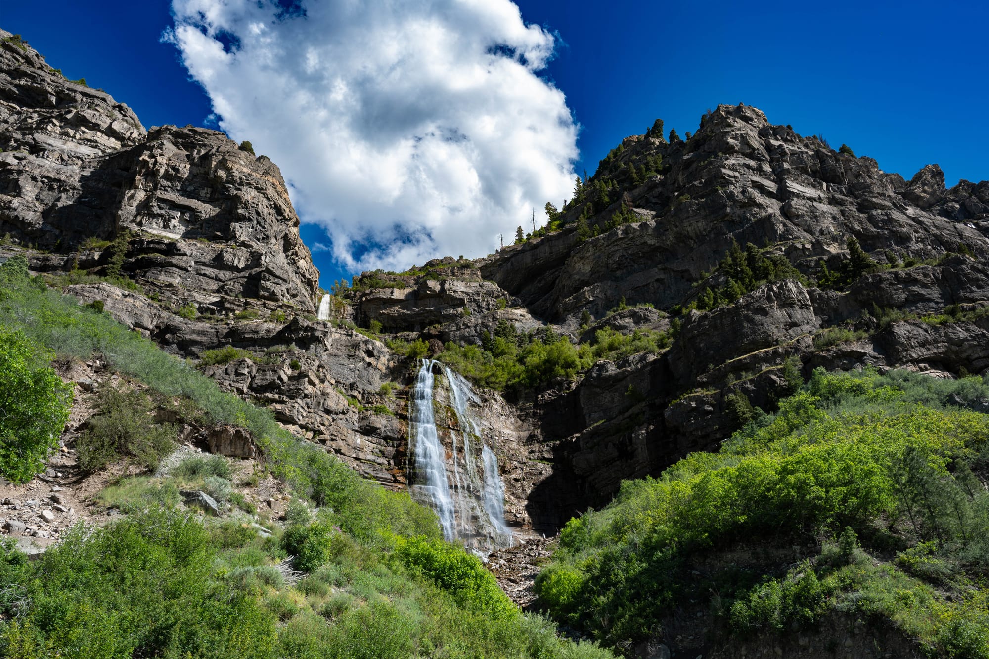
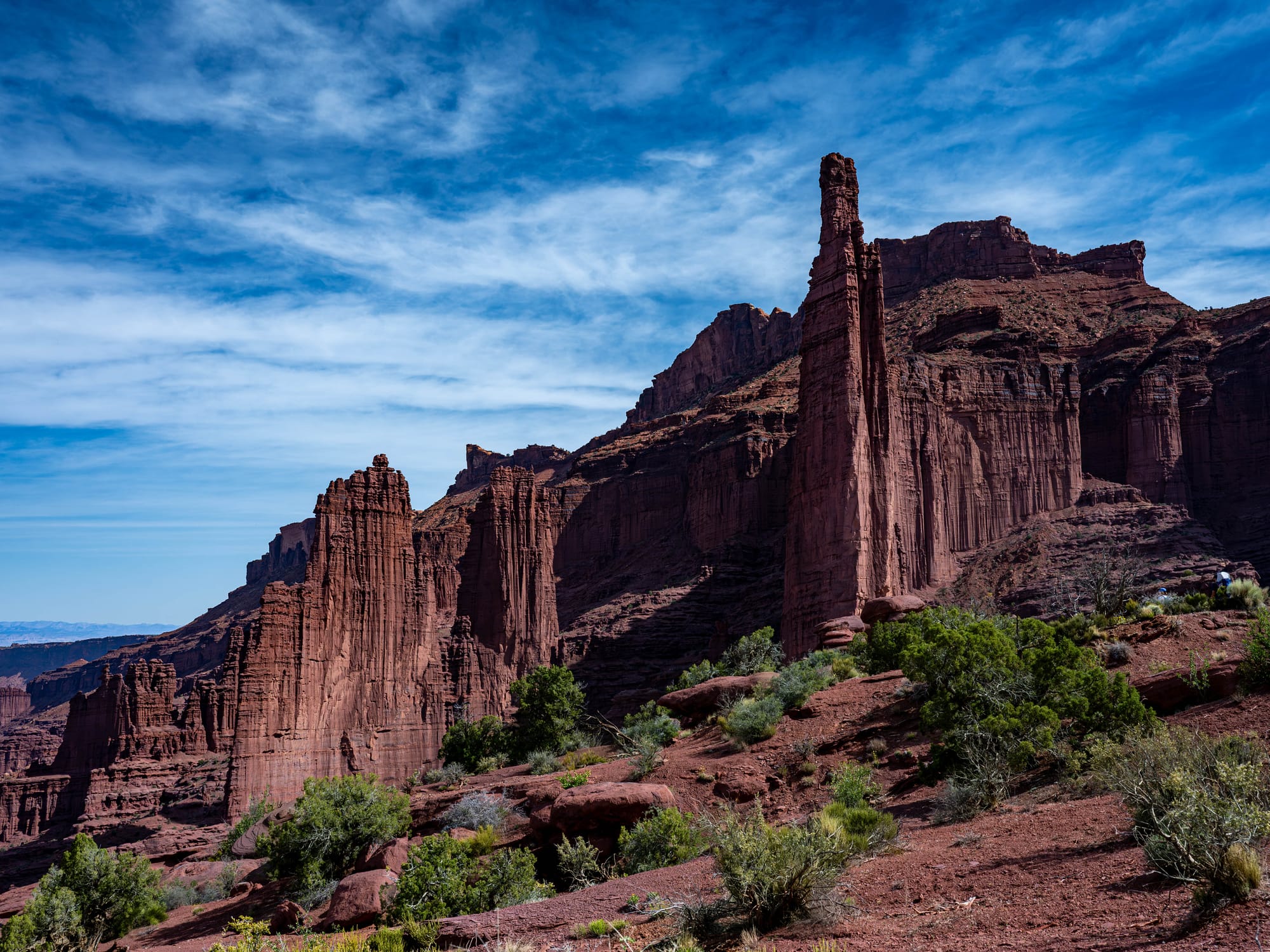
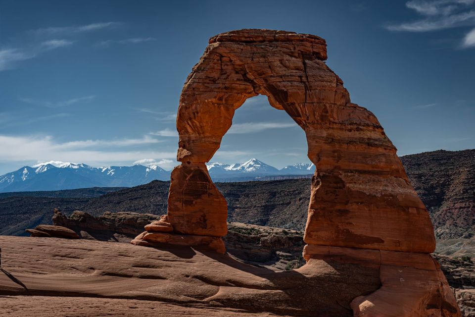
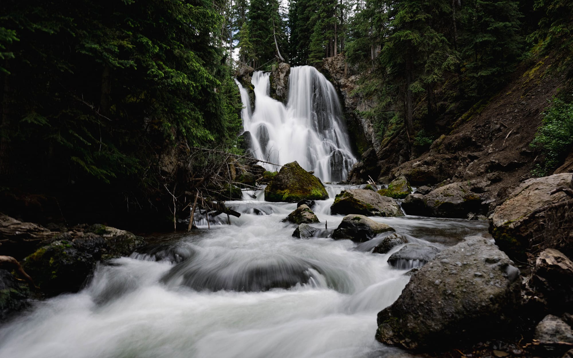
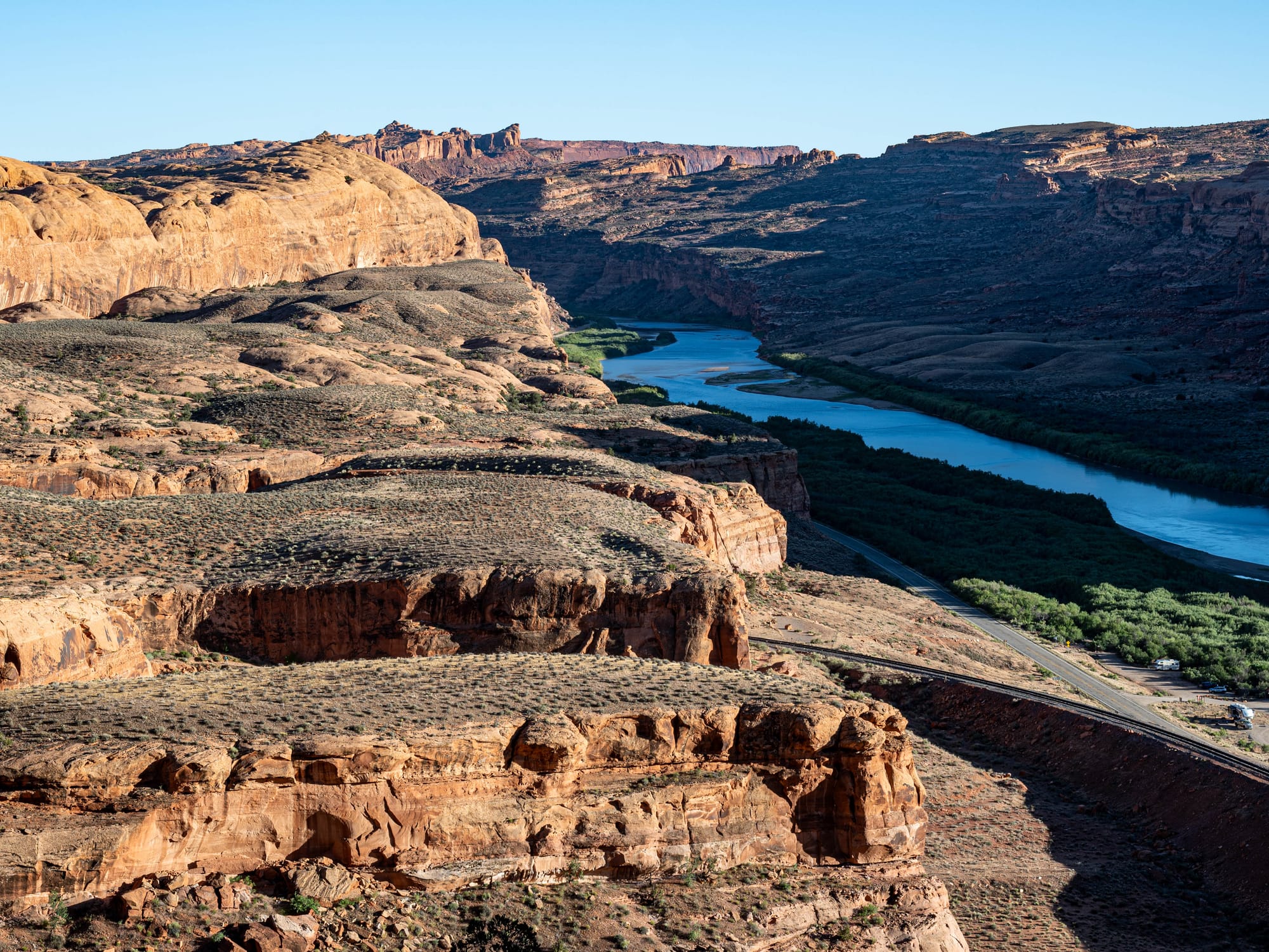
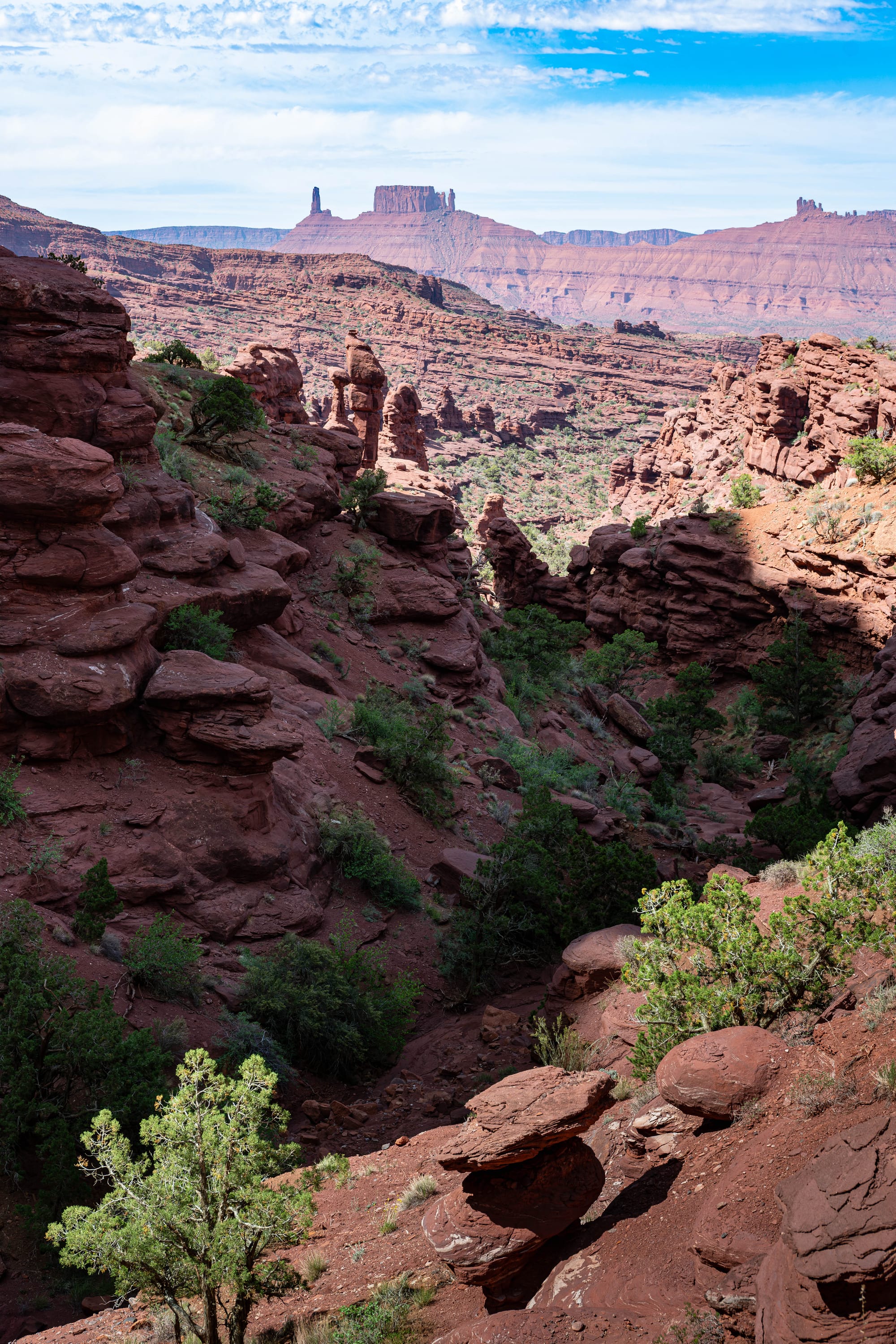
Bridal Falls [L] Fisher Tower [R] | Utah
Learning to read the land
Once we began noticing these distinctions, the signs stopped feeling administrative.
An entrance station suggests one relationship with the land. A numbered forest road suggests another. A cattle guard, logging truck, wildlife closure, or wilderness boundary tells us something about what the property is being asked to accommodate.
The differences show up in small decisions.
Can we camp outside a developed campground?
Can the dogs use the trail?
Can a mountain bike continue beyond the next sign?
Does the road serve visitors, grazing allotments, private homes, timber operations, or all of them at once?
Is the land being protected from development, managed for renewable resources, preserved for wildlife, or organized to bring millions of people close to a remarkable place?
Sometimes the answer is several of those things at once.
The protection spectrum helps, but it cannot replace reading the rules of the actual place. A monument may be more restrictive than a nearby park in one respect and more permissive in another. A national forest campground may feel developed, while the wilderness beginning a mile away allows almost no permanent infrastructure. A remote stretch of BLM land may look untouched while carrying fewer legal protections than a crowded national park overlook.
Who created the designation matters too.
Congressional action generally provides the strongest legal durability because another act of Congress is usually required to reverse it. Presidential proclamations can create substantial and lasting protection, but their scope has repeatedly become the subject of political and legal conflict. Agency plans control much of what visitors encounter day to day, but those plans remain bounded by the laws and proclamations above them.
The map gives us the boundary. The designation explains the priorities behind it.
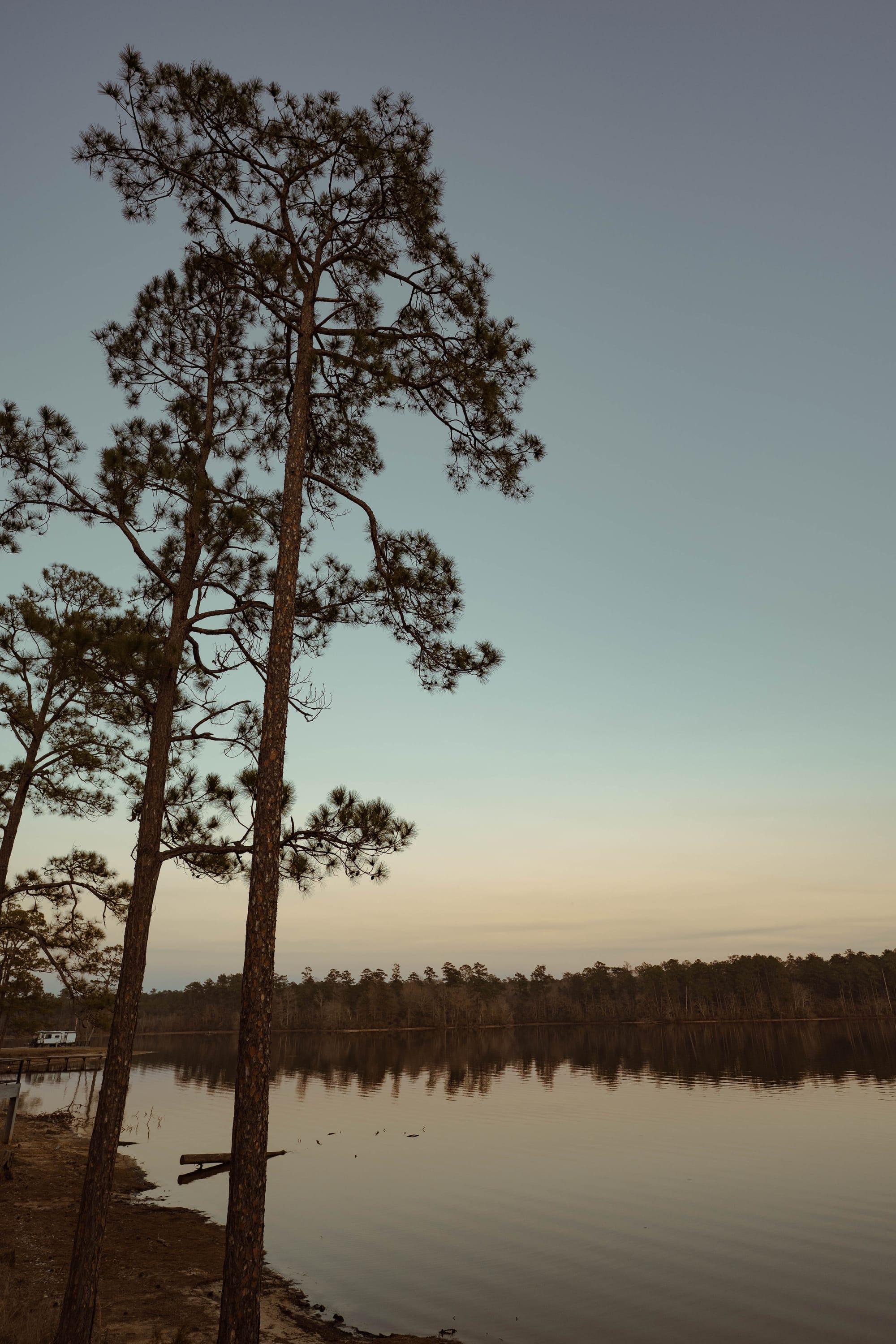
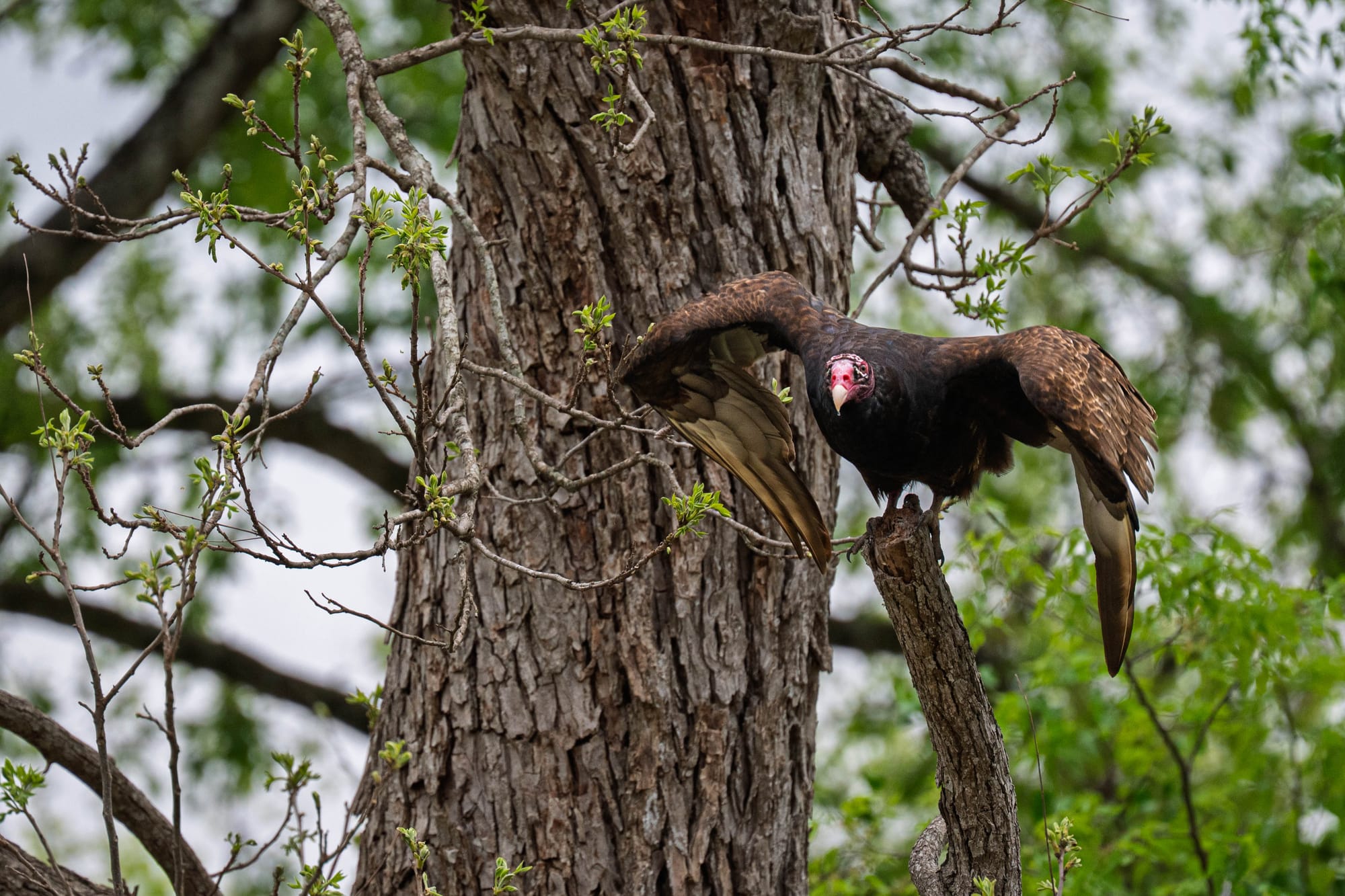
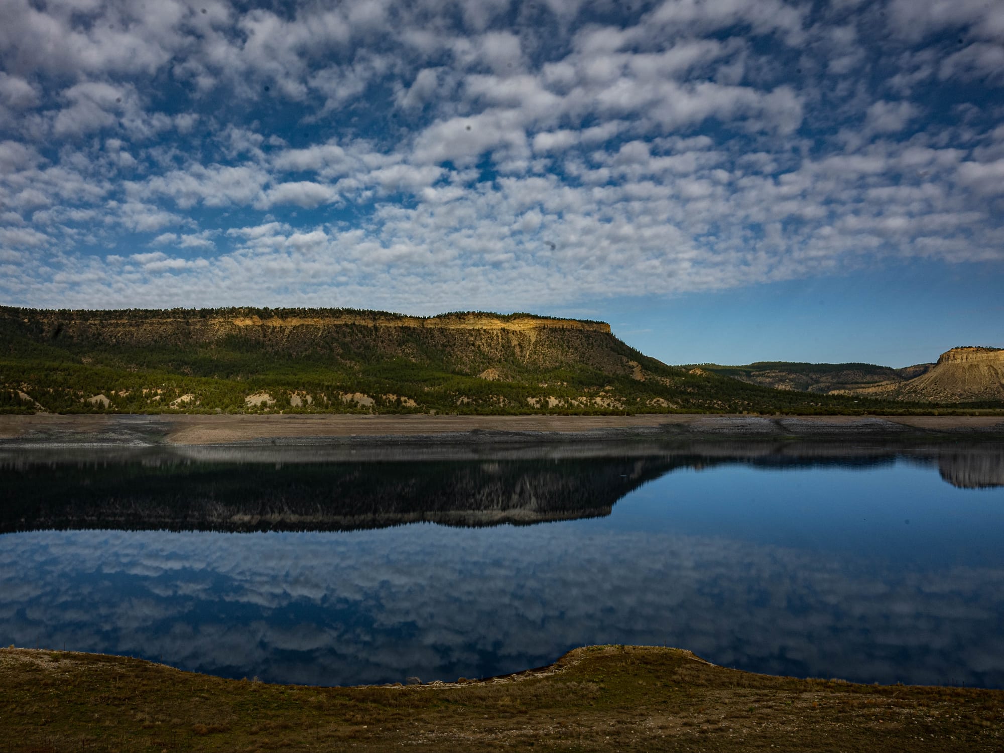
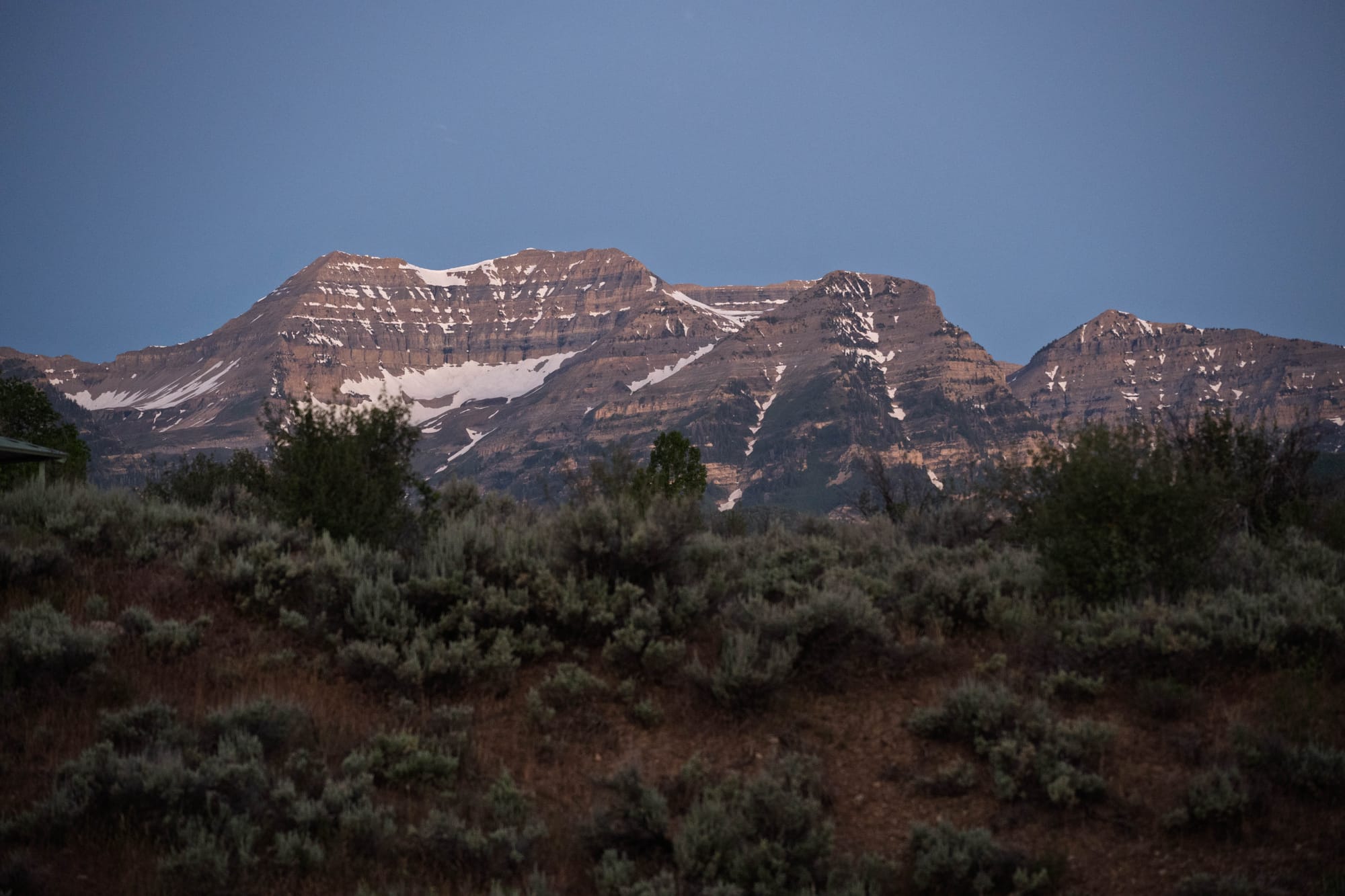
What are we asking the land to do?
The public-land system is complicated because the land itself has been asked to serve many purposes.
Some places preserve landscapes, histories, or ecosystems considered nationally significant. Some provide timber, forage, water, minerals, energy, wildlife habitat, and recreation. Others protect a species, migration route, archaeological site, battlefield, fossil bed, or cultural landscape.
A few receive the country’s strongest instruction to step back and leave the land largely undeveloped.
No single category is the right model for every place.
Understanding the differences is less about memorizing agency names than recognizing the choices embedded in each designation. The signs tell us who is responsible, what is protected, what uses remain possible, and who had the authority to make that decision.
The forest, desert, mountain, or shoreline may continue unchanged across the boundary.
Our relationship with it does not.