Yellowstone National Park | Learning the Landscape
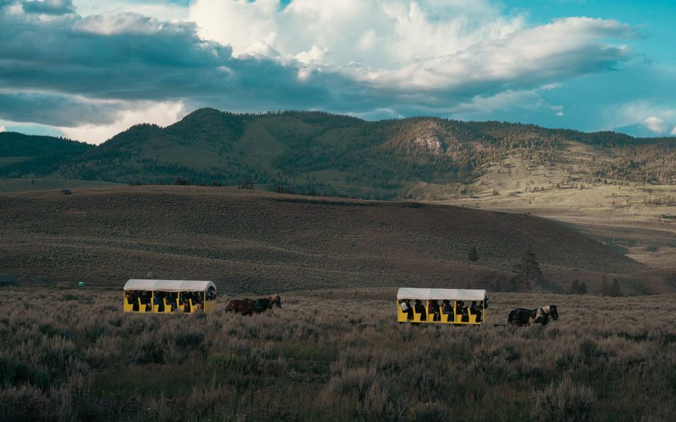
We knew Yellowstone was big.
We spent weeks planning. I knew where Old Faithful was. I knew Lamar Valley was Northeast. I knew the difference between the Upper and Lower Loops.
We had 8 nights of campground reservations inside the park and a growing list of hikes, overlooks, and photo locations.
On paper, it all looked manageable.
Then we drove through the gate.
Yellowstone is difficult to understand until you've spent time moving through it.
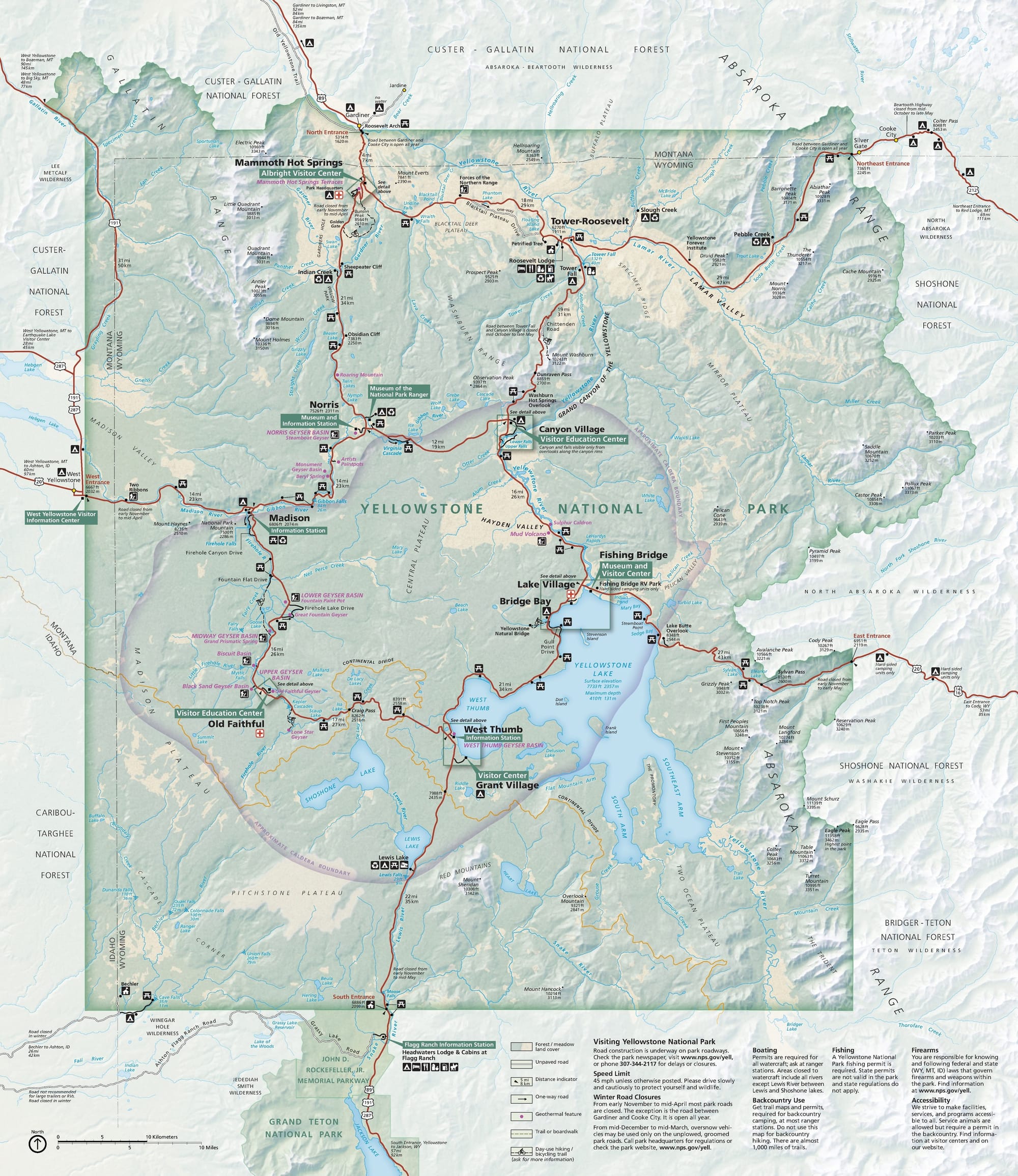
The map tells you where things are. But it does a much poorer job of explaining what those places feel like, how far apart they really are, or how dramatically the landscape changes from one part of the park to the next. The roads form a figure eight, but the park itself refuses to fit into something that simple.
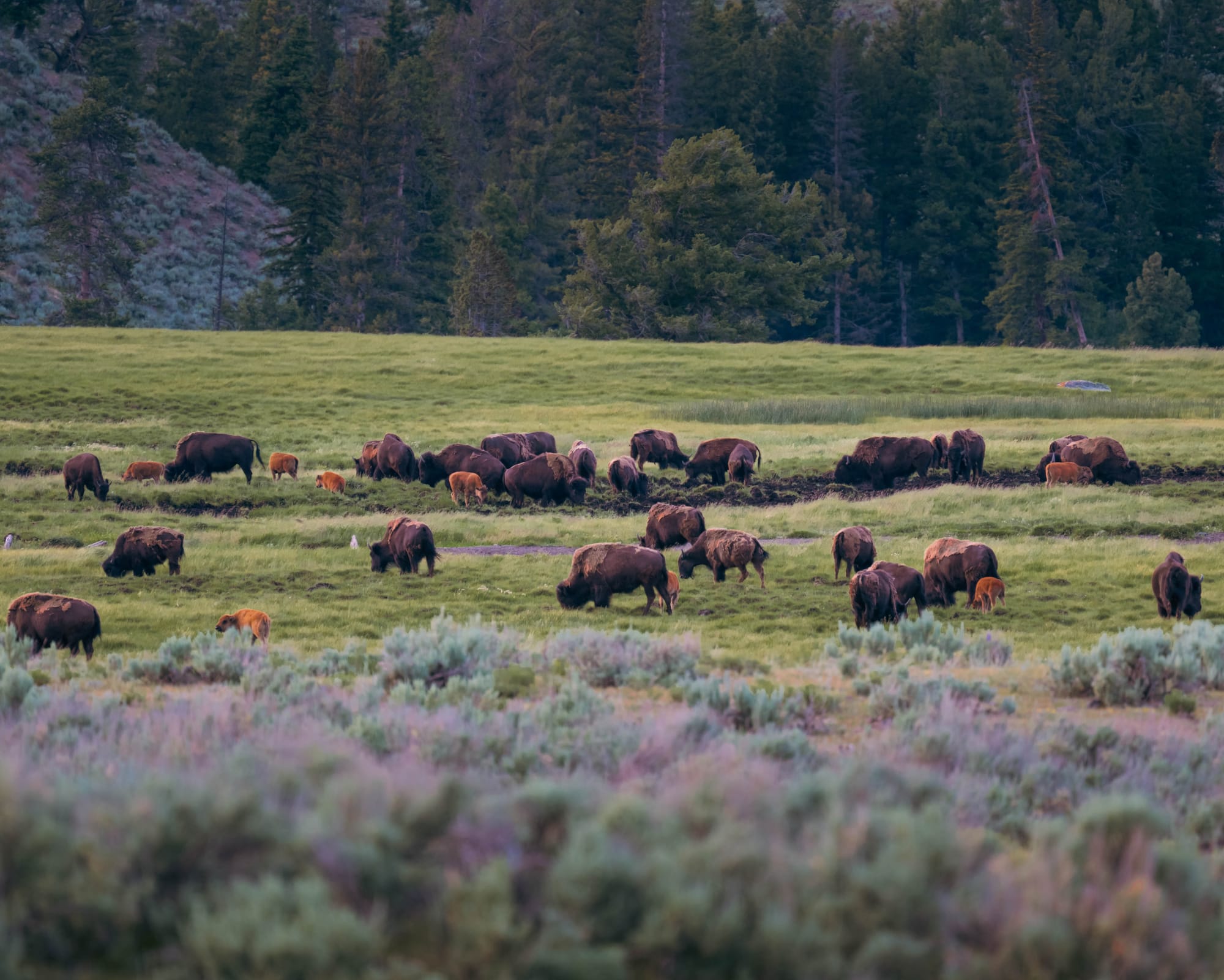
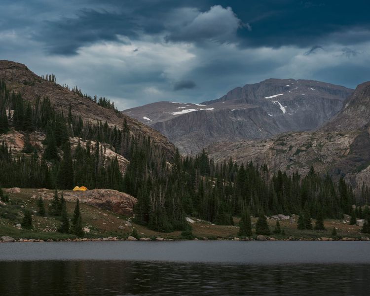
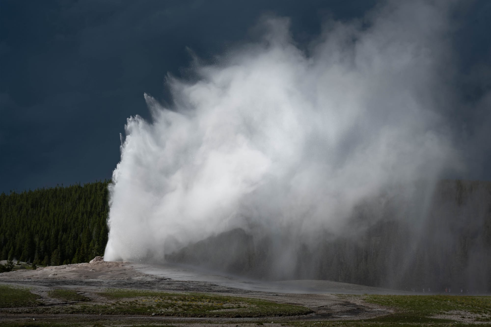
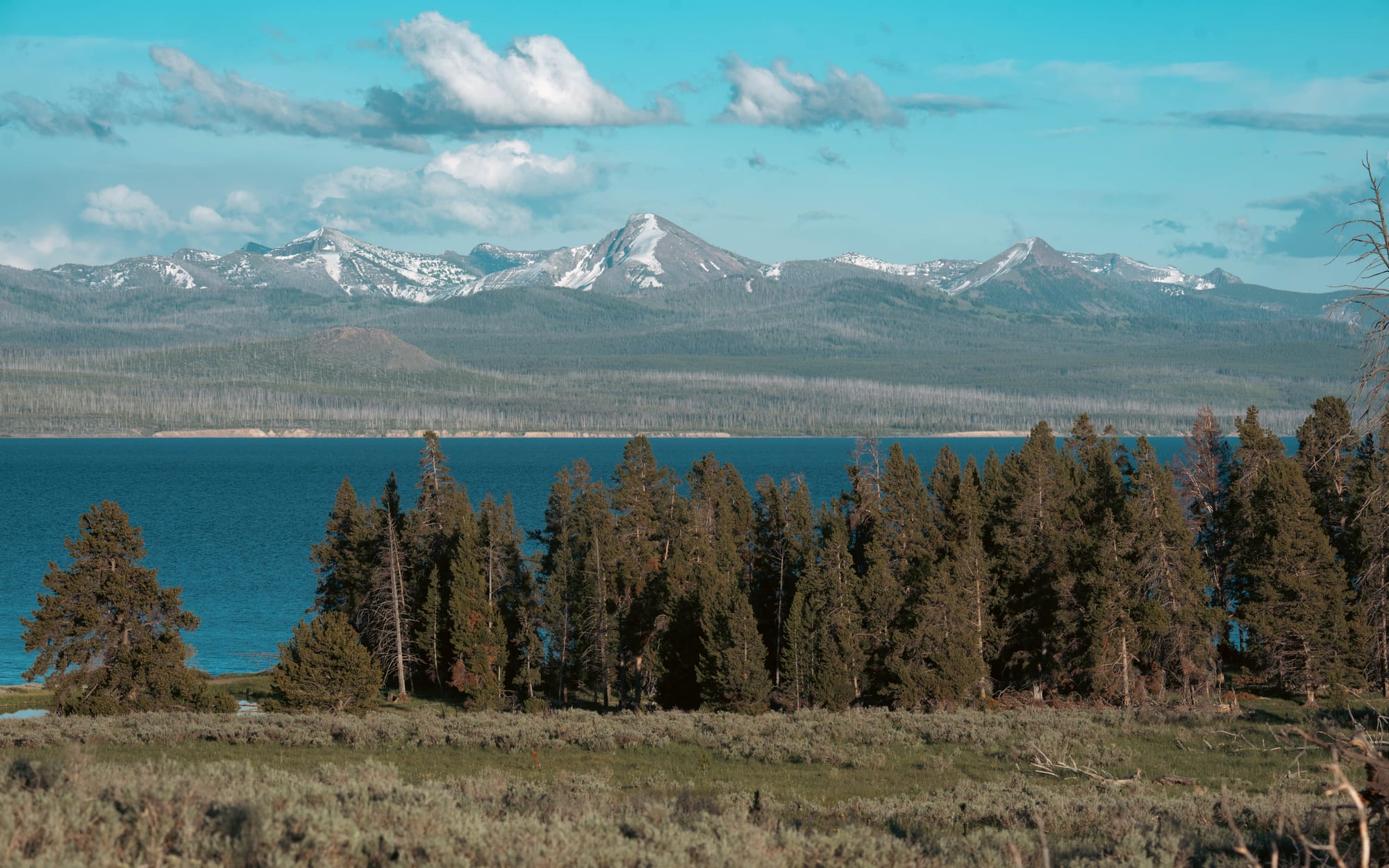
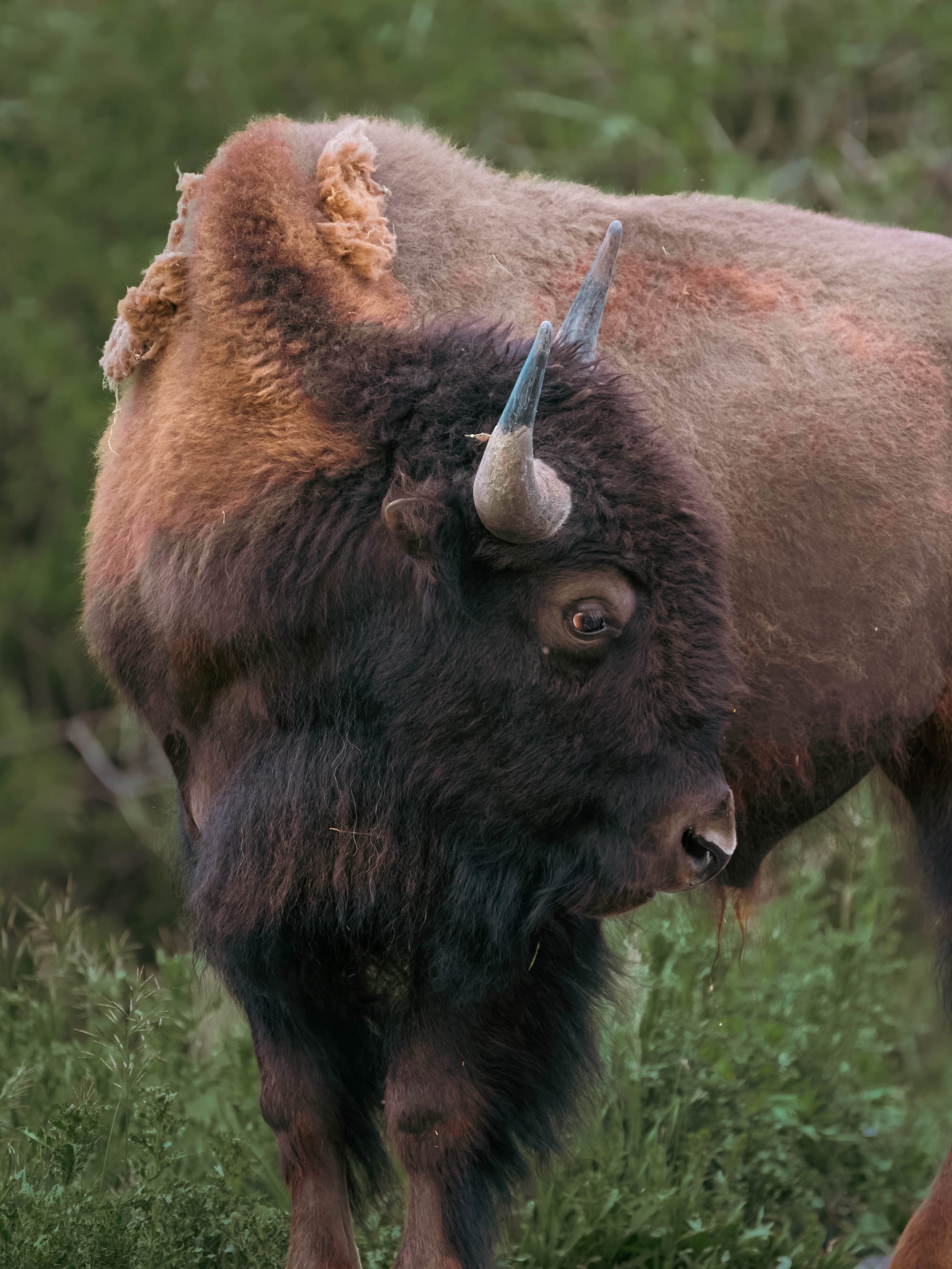
One moment you're standing beside a lake nearly 8,000 feet above sea level. Twenty minutes later steam is rising from the ground. Another half hour and you're watching bison move through an open valley. Keep driving and you're climbing toward an alpine summit.
By the end of our first afternoon, we realized Yellowstone wasn't one destination.
It was dozens of different landscapes sharing the same name.
🗺️ The Lay of the Land
- Location: Northwestern Wyoming, with sections in Montana and Idaho
- Landscape: volcanic plateau · mountain ranges · high-elevation lakes · river valleys · hydrothermal basins
- Road system: Upper Loop · Lower Loop · five park entrances
- Vibe: enormous, wildlife-heavy, geologically active, and difficult to experience quickly
- Our Yellowstone stay: June 24–July 1, 2026 · Fishing Bridge RV Park and Grant Campground
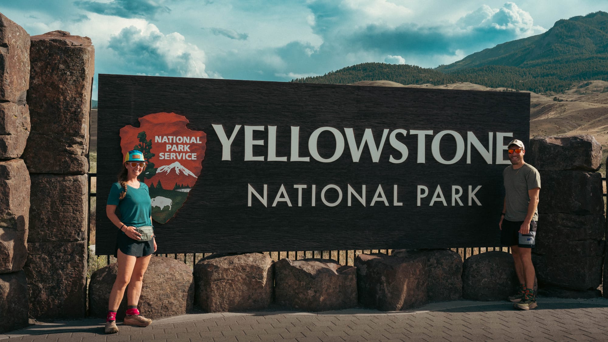
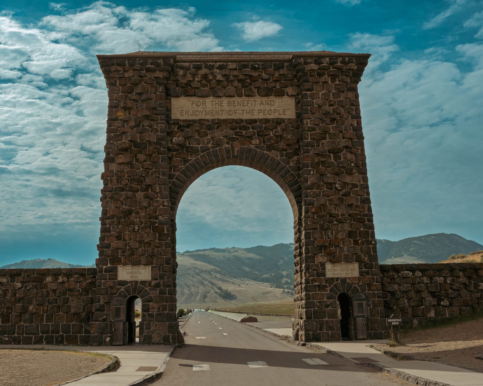
Yellowstone sign in Gardiner, MT | Mammoth Hot Springs Entrance
Yellowstone Becomes the First National Park
That diversity is exactly why Yellowstone was protected.
Long before it became America's first national park, this landscape was home to Indigenous peoples including the Crow, Shoshone, Blackfeet, Nez Perce, and many others. They hunted here, gathered obsidian, crossed these mountains, and understood the hot springs and geysers as part of the land rather than unexplained curiosities.
When mountain man John Colter traveled through the region in the early 1800s, his descriptions of boiling rivers, steaming ground, colorful pools, and strange volcanic landscapes sounded so unbelievable that many people dismissed them outright. The stories became known as "Colter's Hell," and for years much of the country assumed he had exaggerated what he had seen.
The turning point came in 1871.
The Hayden Geological Survey, led by Ferdinand Hayden, brought artist Thomas Moran, and photographer William Henry Jackson into Yellowstone. Moran's paintings and Jackson's photographs showed Congress a landscape unlike anything previously documented in the United States. Their work helped convince lawmakers that Yellowstone should be protected before settlement and private development permanently changed it.
On March 1, 1872, President Ulysses S. Grant signed the Yellowstone National Park Protection Act, creating the world's first national park.
What stands out today is not simply that Yellowstone was first.
It is that Congress chose to protect an entire landscape rather than a single landmark.
There was no one waterfall, canyon, or mountain that justified the designation. Yellowstone was preserved because the geology, wildlife, rivers, forests, mountains, lakes, and geothermal features all belonged to one extraordinary system.
More than 150 years later, visitors are still trying to make sense of that system.
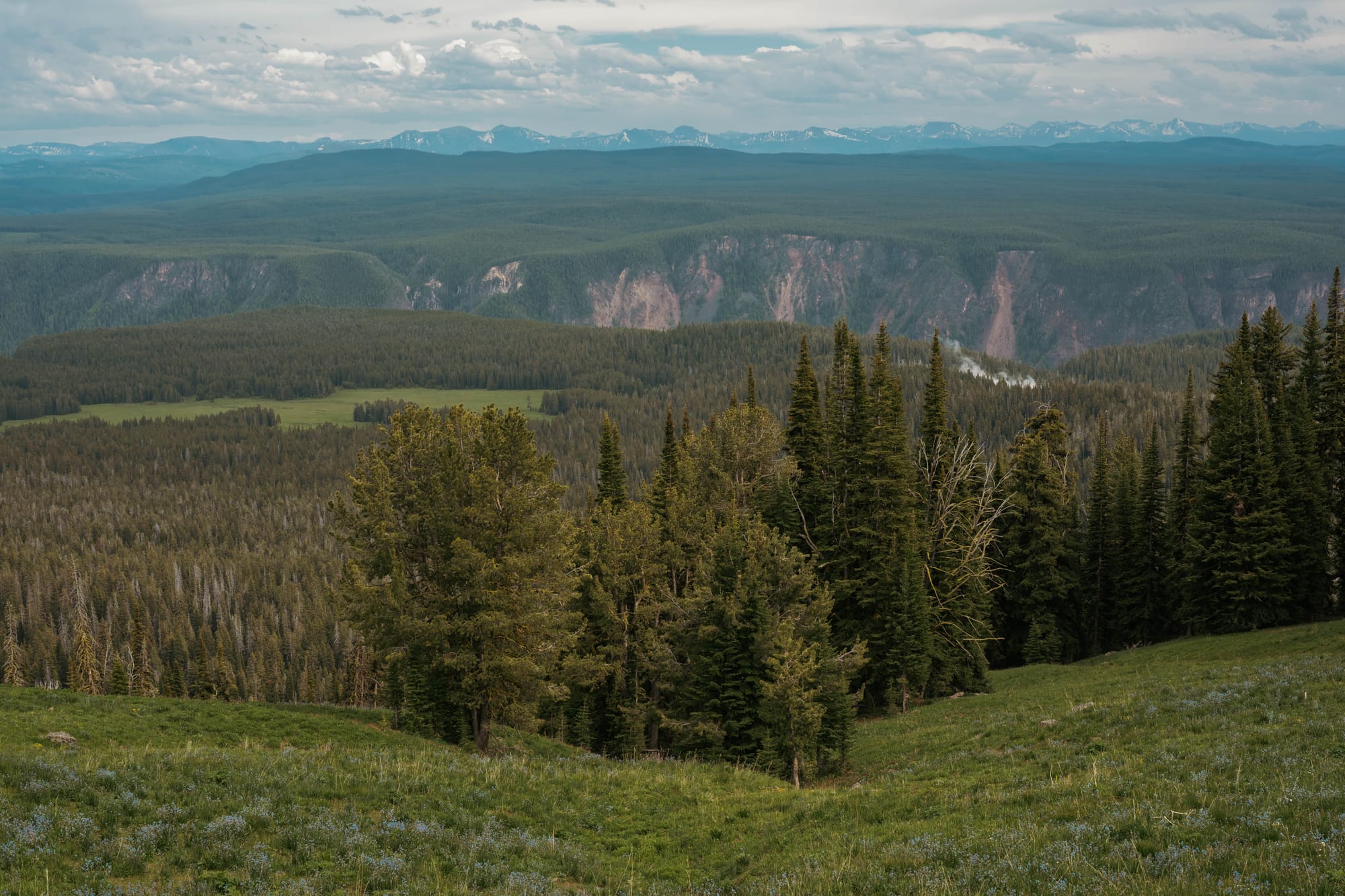
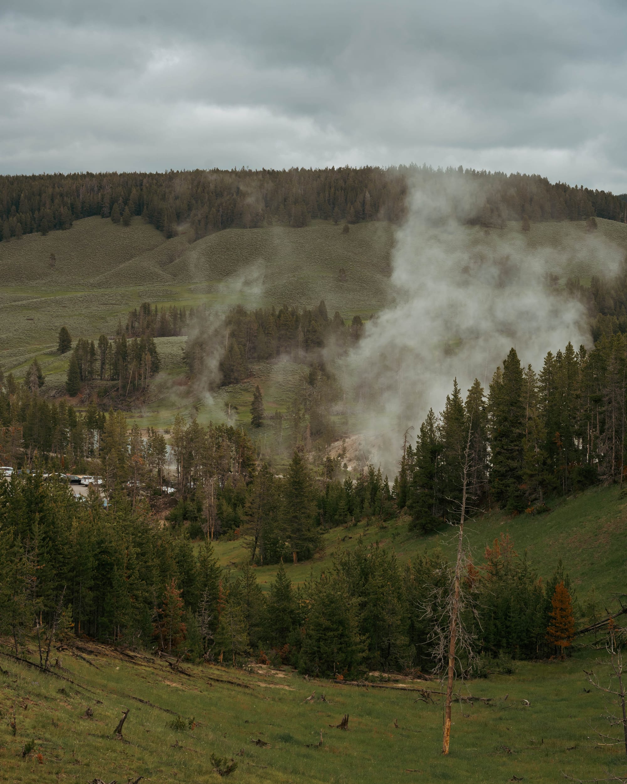
Learning the Landscape
The easiest mistake is to think of Yellowstone as a collection of famous stops.
Old Faithful.
Grand Prismatic Spring.
Mammoth Hot Springs.
The Grand Canyon of the Yellowstone.
Lamar Valley.
Those places deserve their reputation, but they are only chapters.
What surprised us most was how quickly the landscape changed.
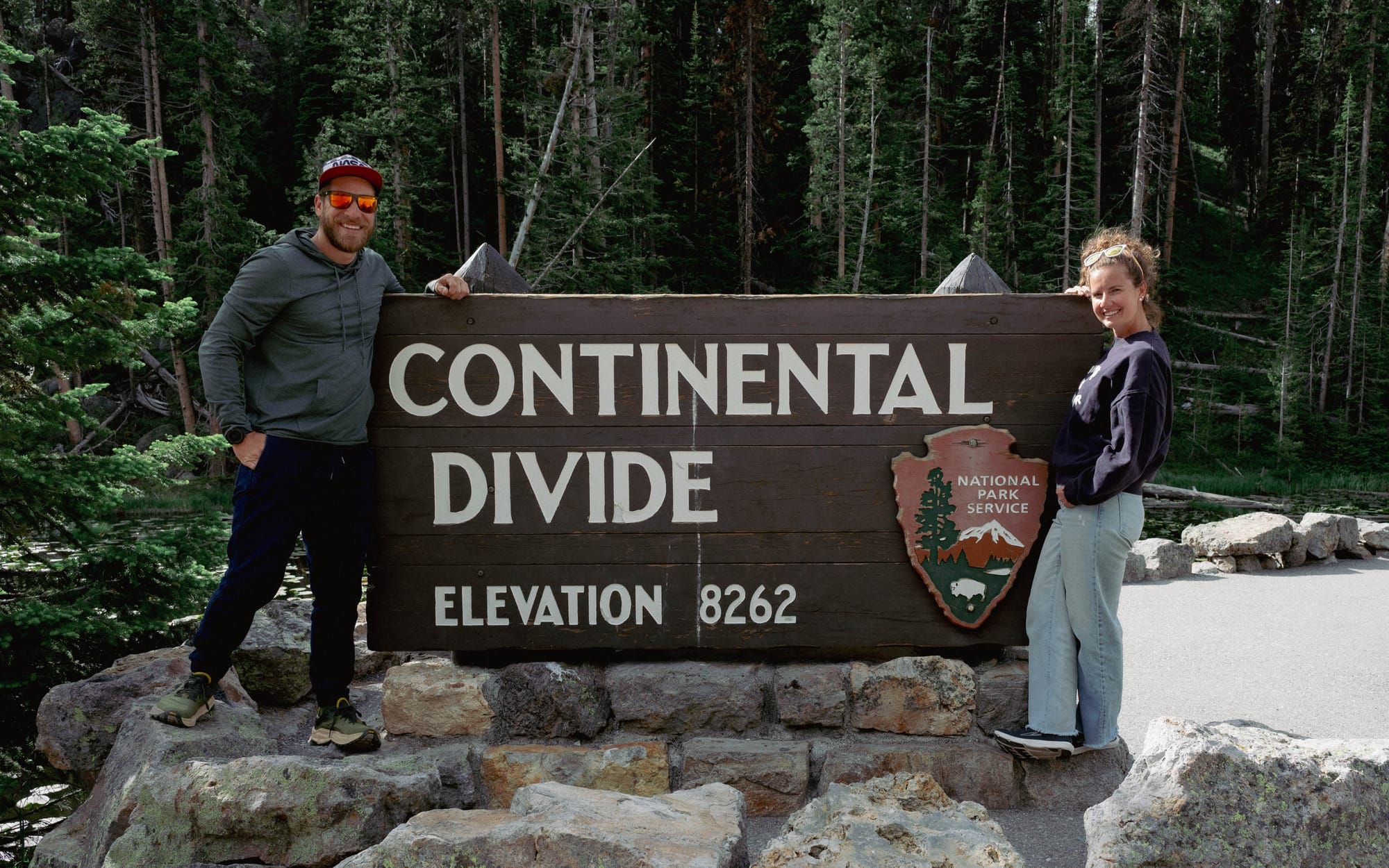
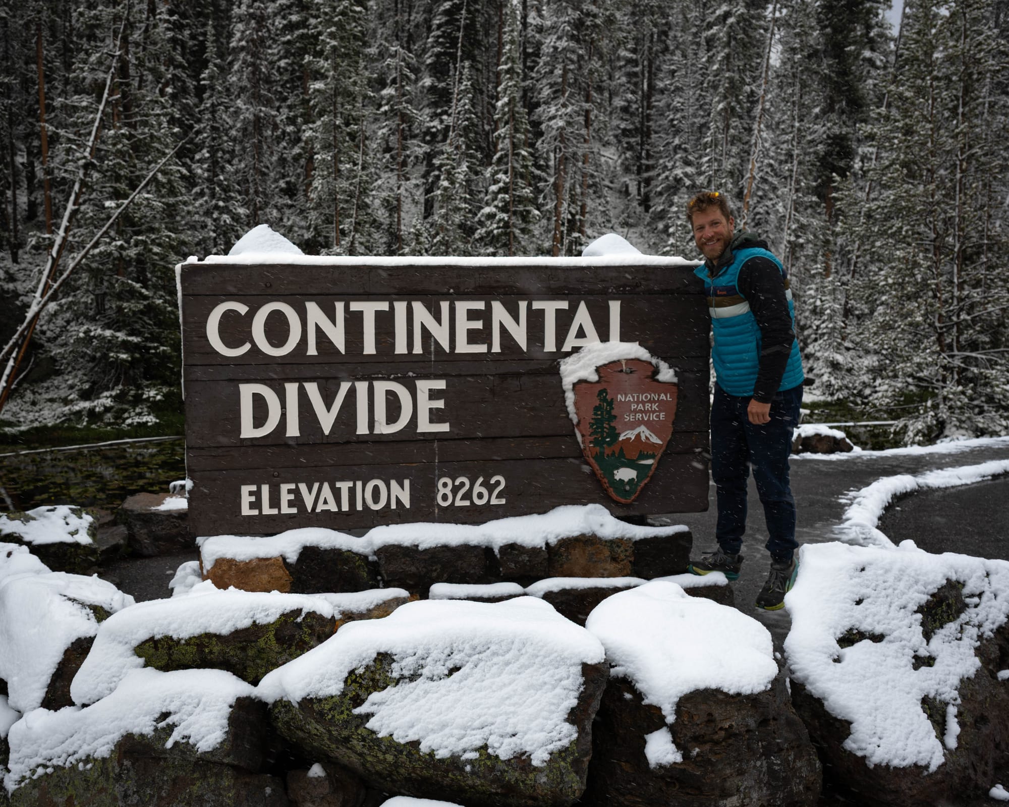
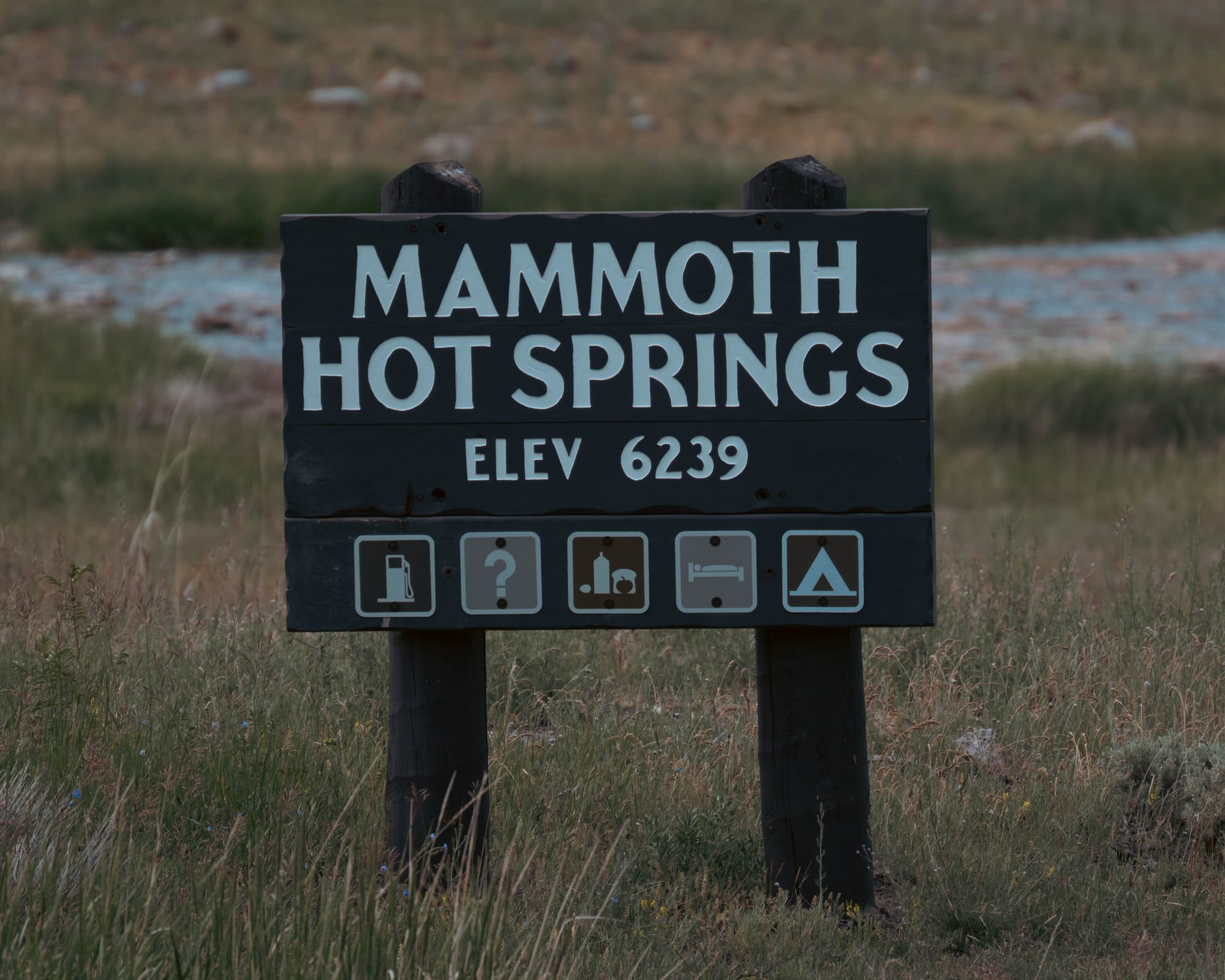
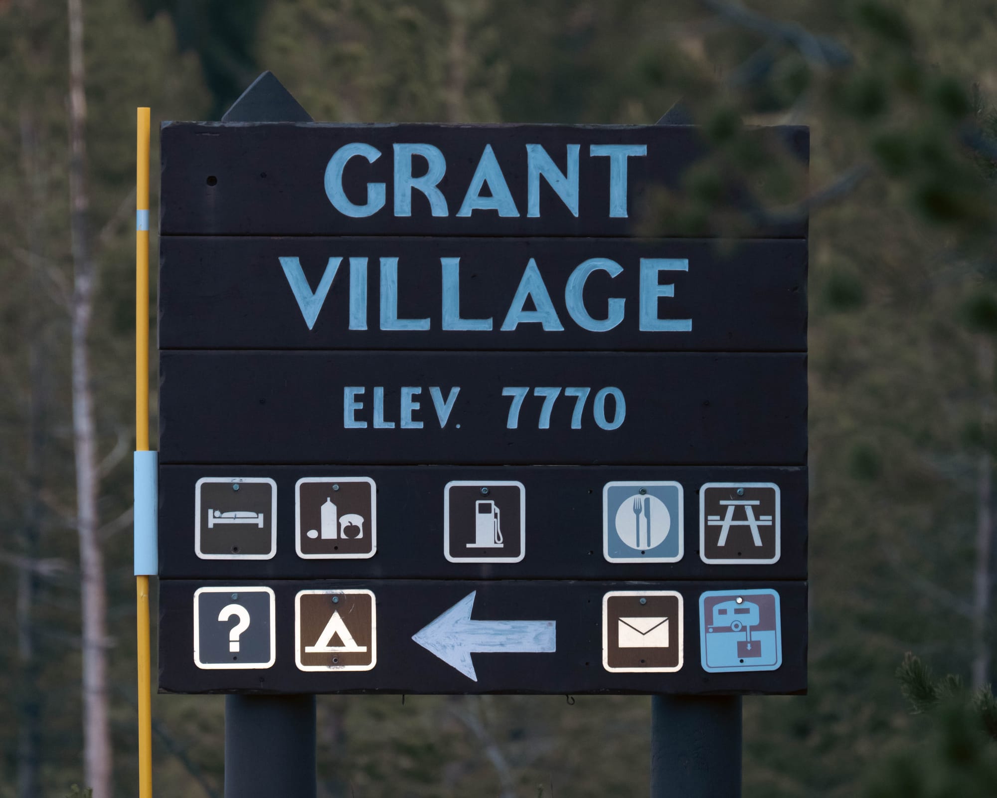
Same sign 24 hours apart
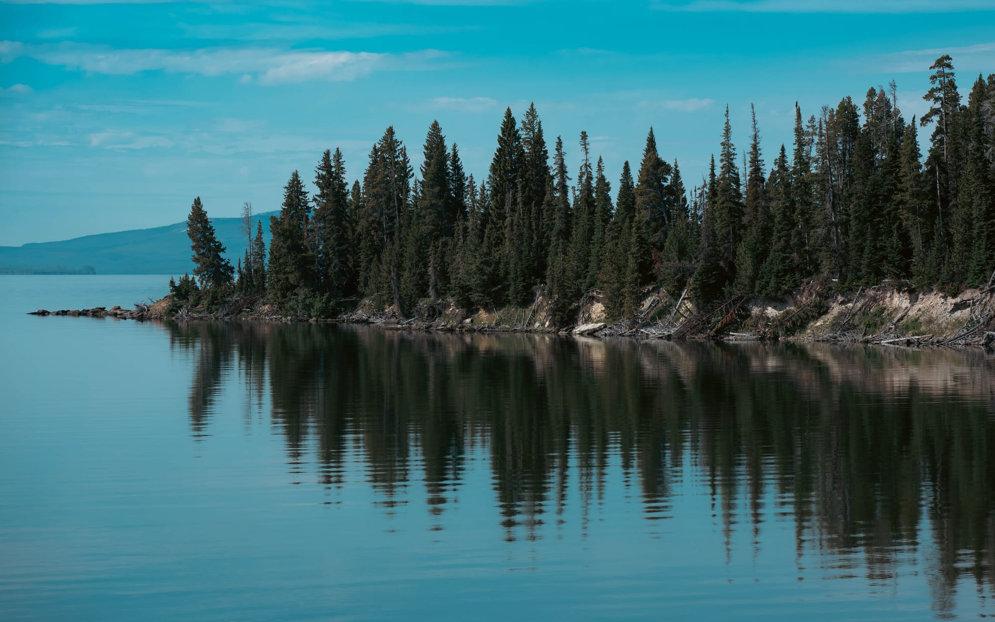
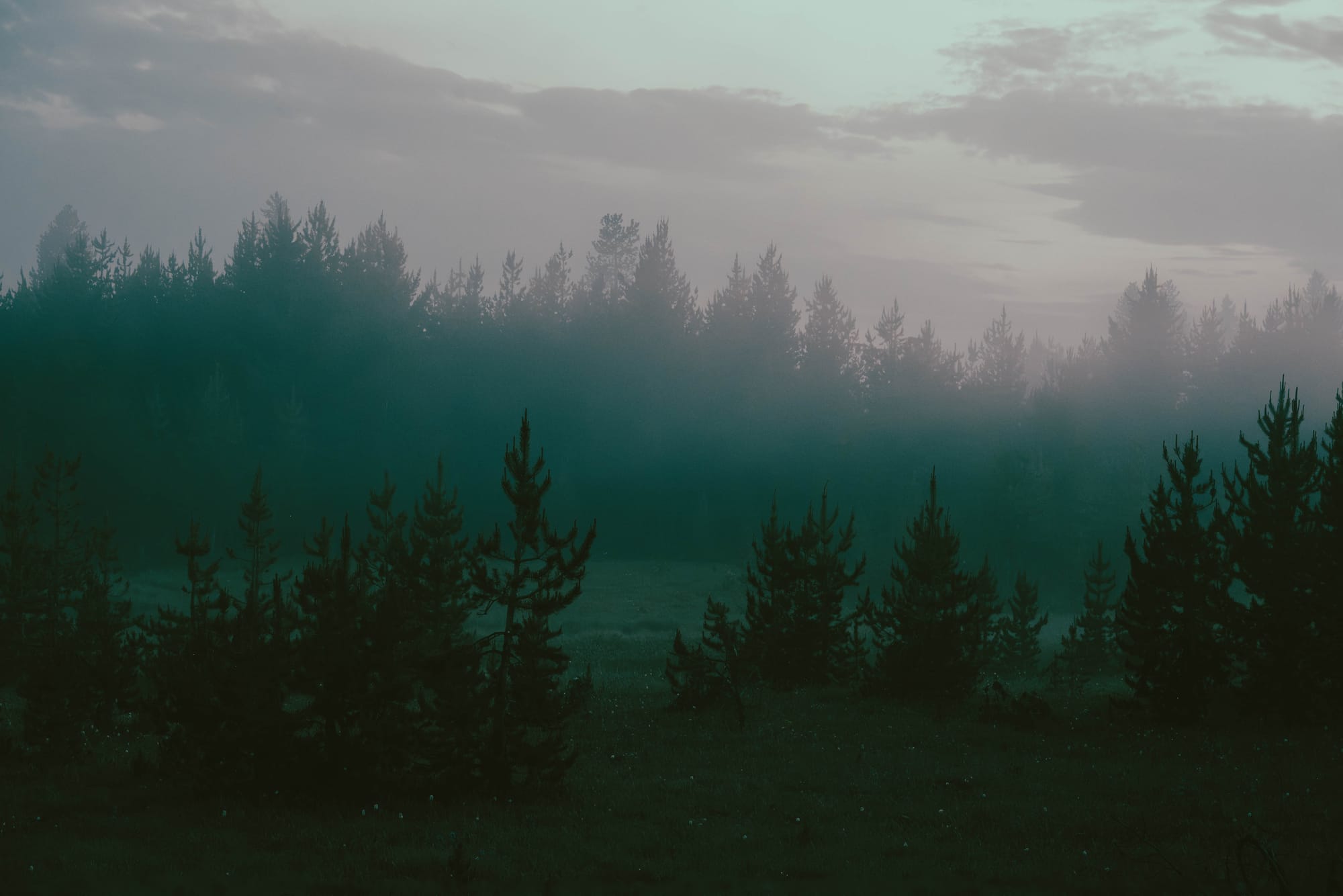
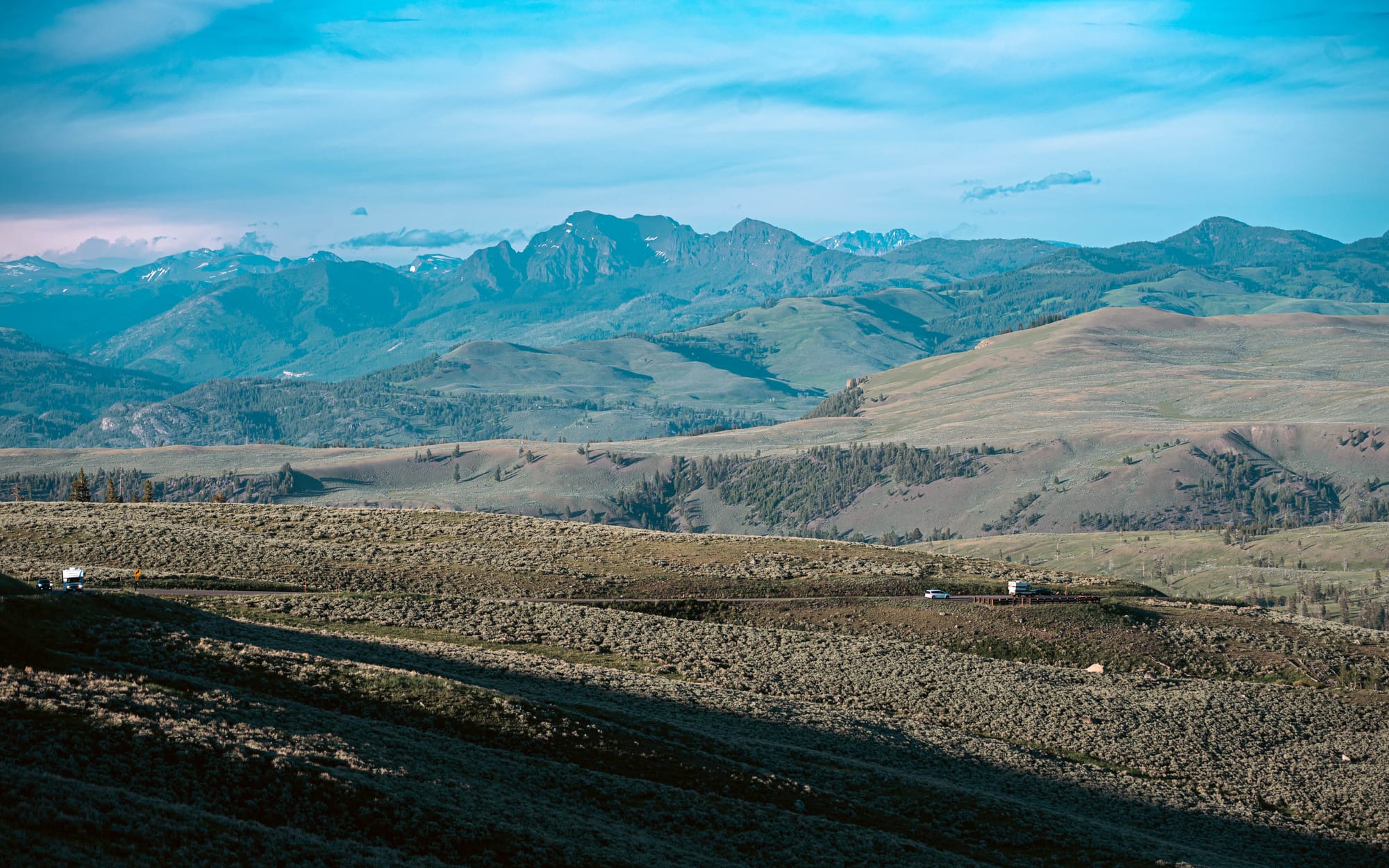
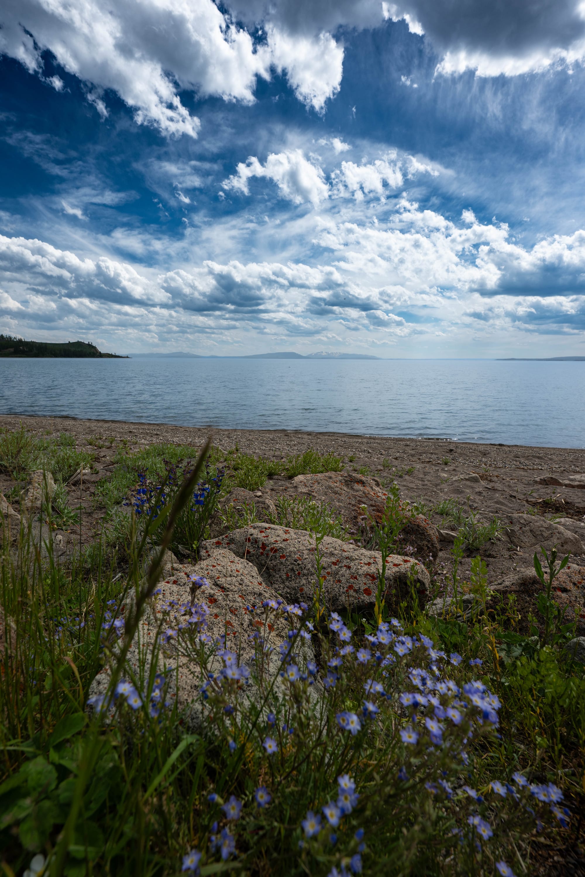
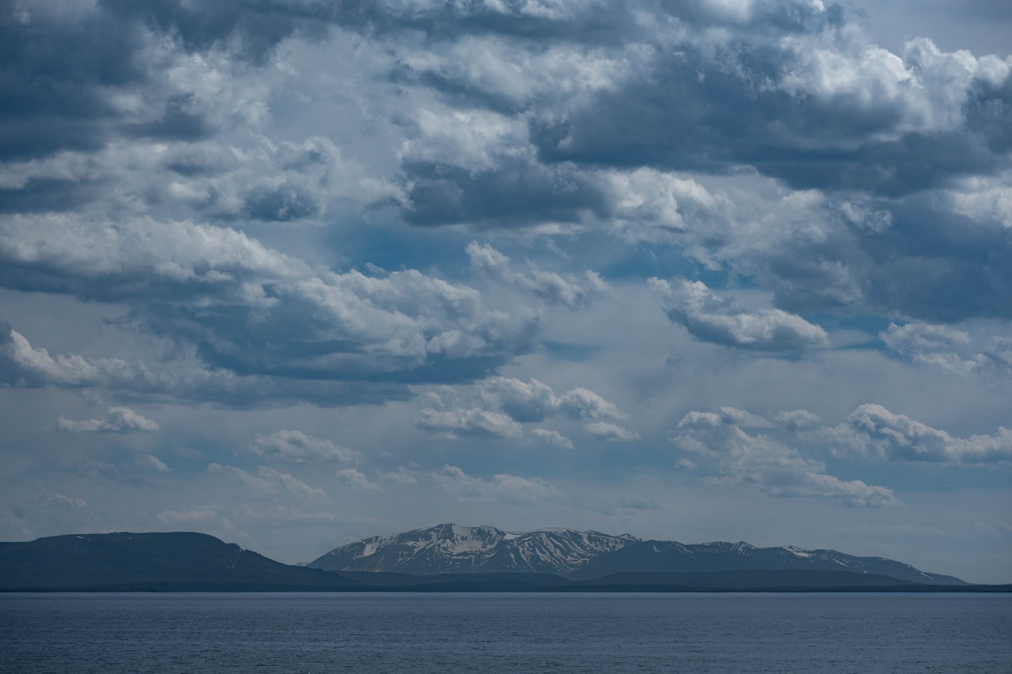
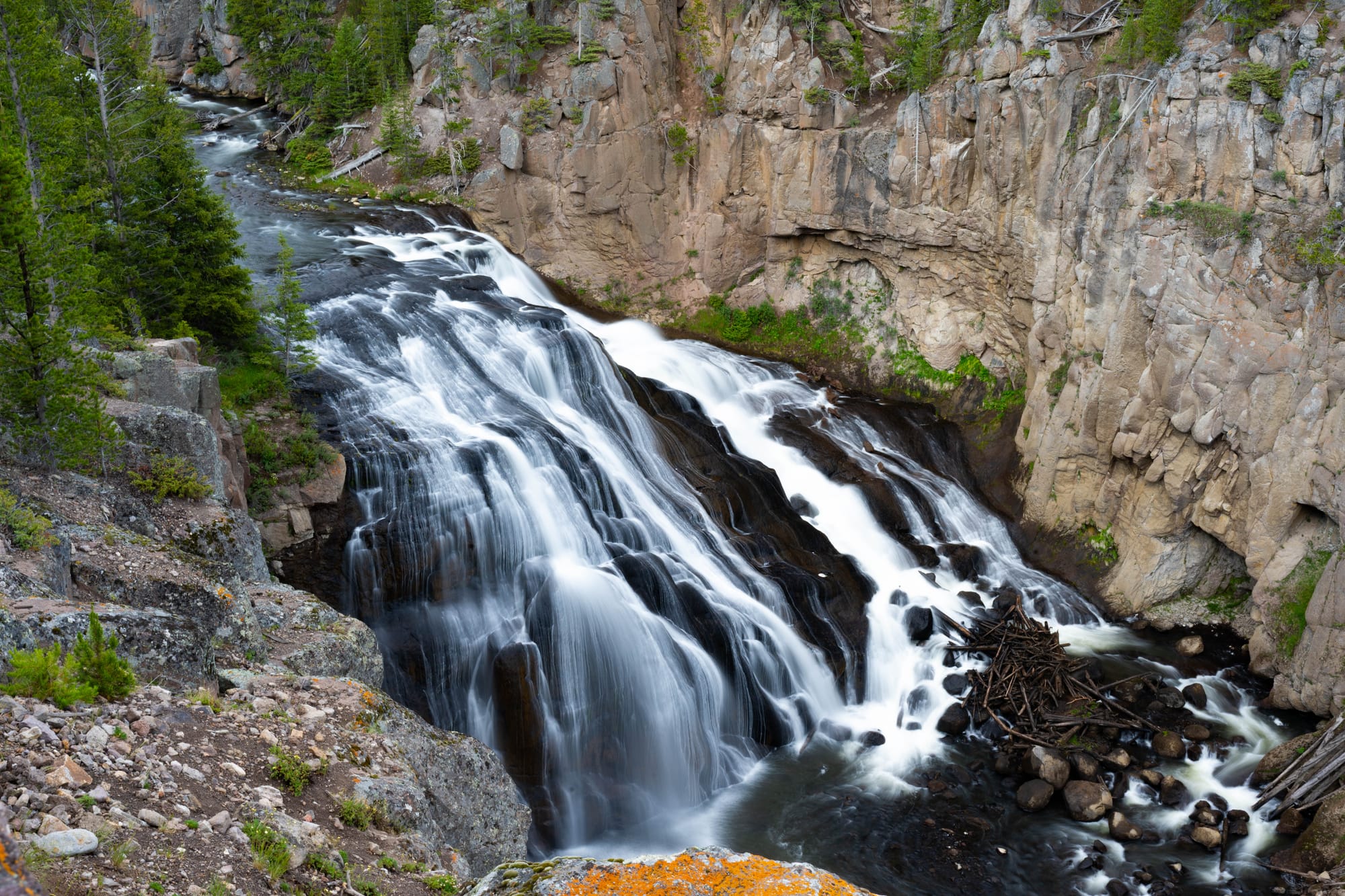
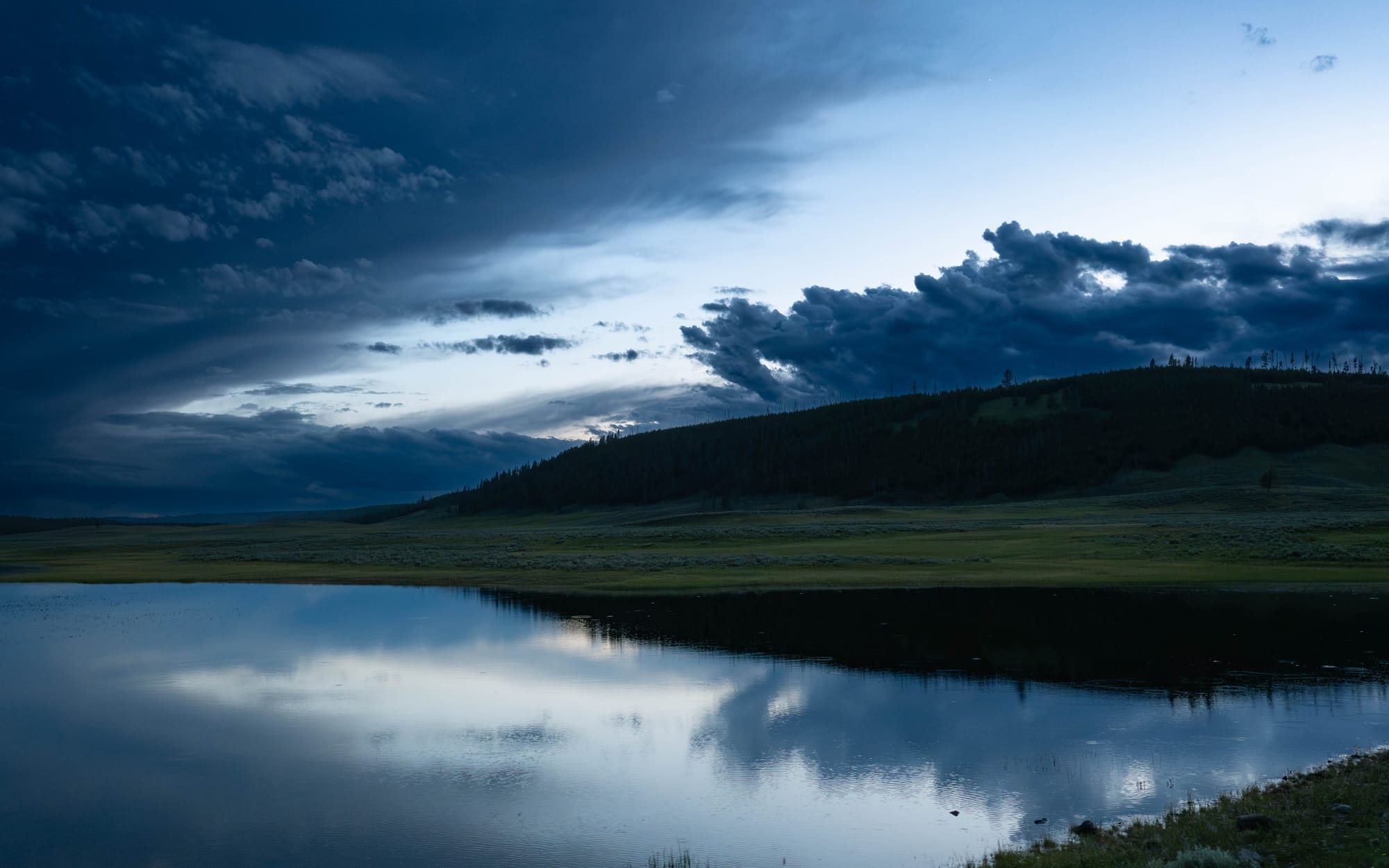
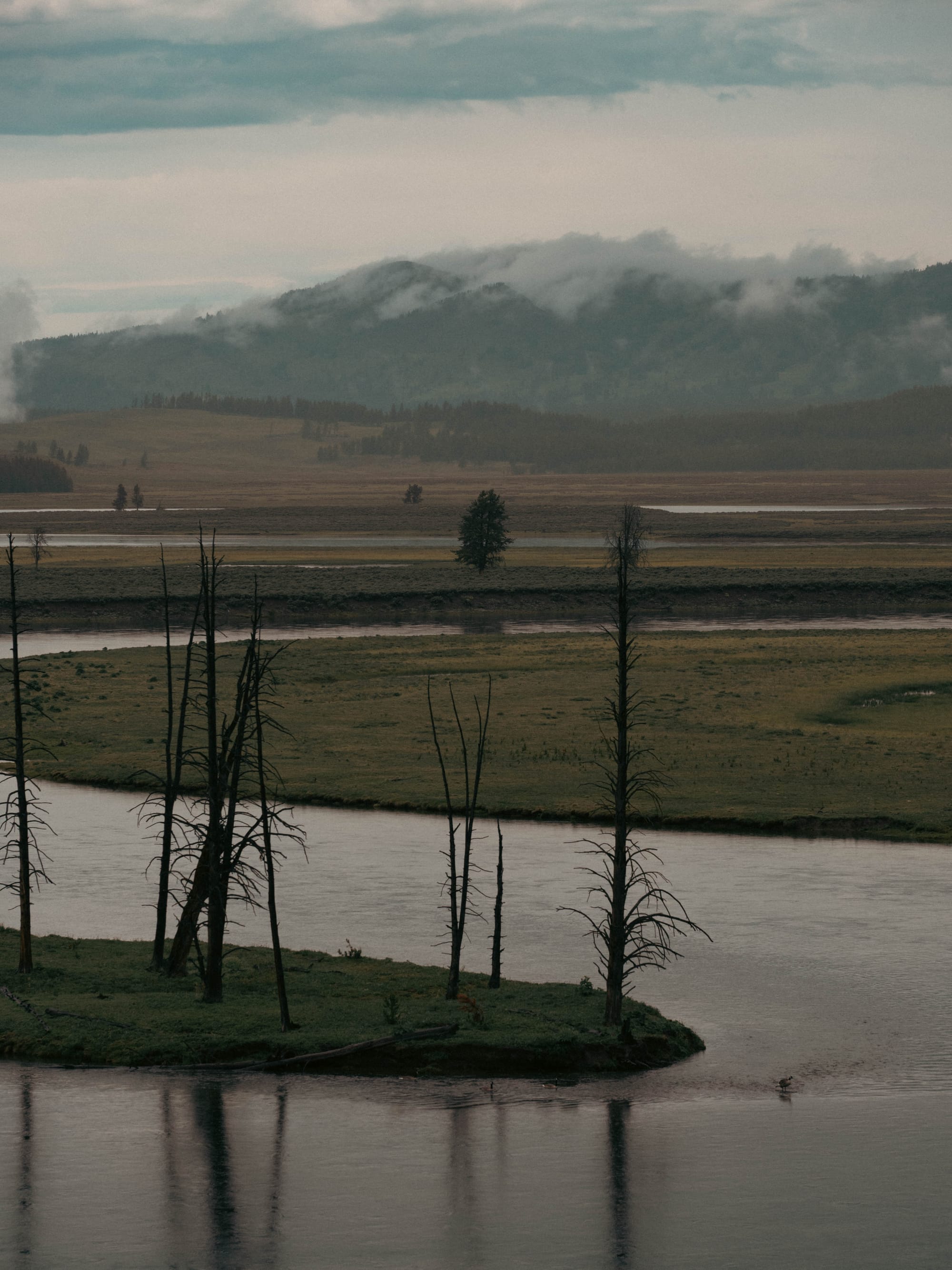
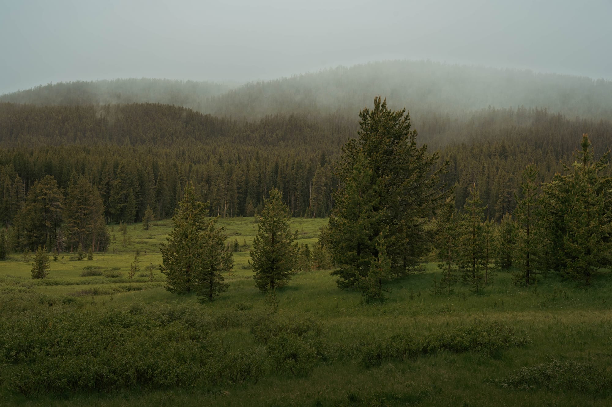
Yellowstone Lake feels nothing like the geyser basins around Old Faithful. Hayden Valley opens into broad grasslands where wildlife moves through the river corridor. The mountains around Mount Washburn rise into alpine country that feels more like the Rockies than the geothermal Yellowstone most people picture. The forests surrounding Shoshone Lake become quiet enough that it is easy to forget millions of people visit the park every year.
Those aren't separate parks.
They’re different expressions of the same Yellowstone landscape.
The road loops simply connect them.
Once we stopped thinking in terms of attractions and started thinking in terms of landscapes, the park finally began to organize itself.
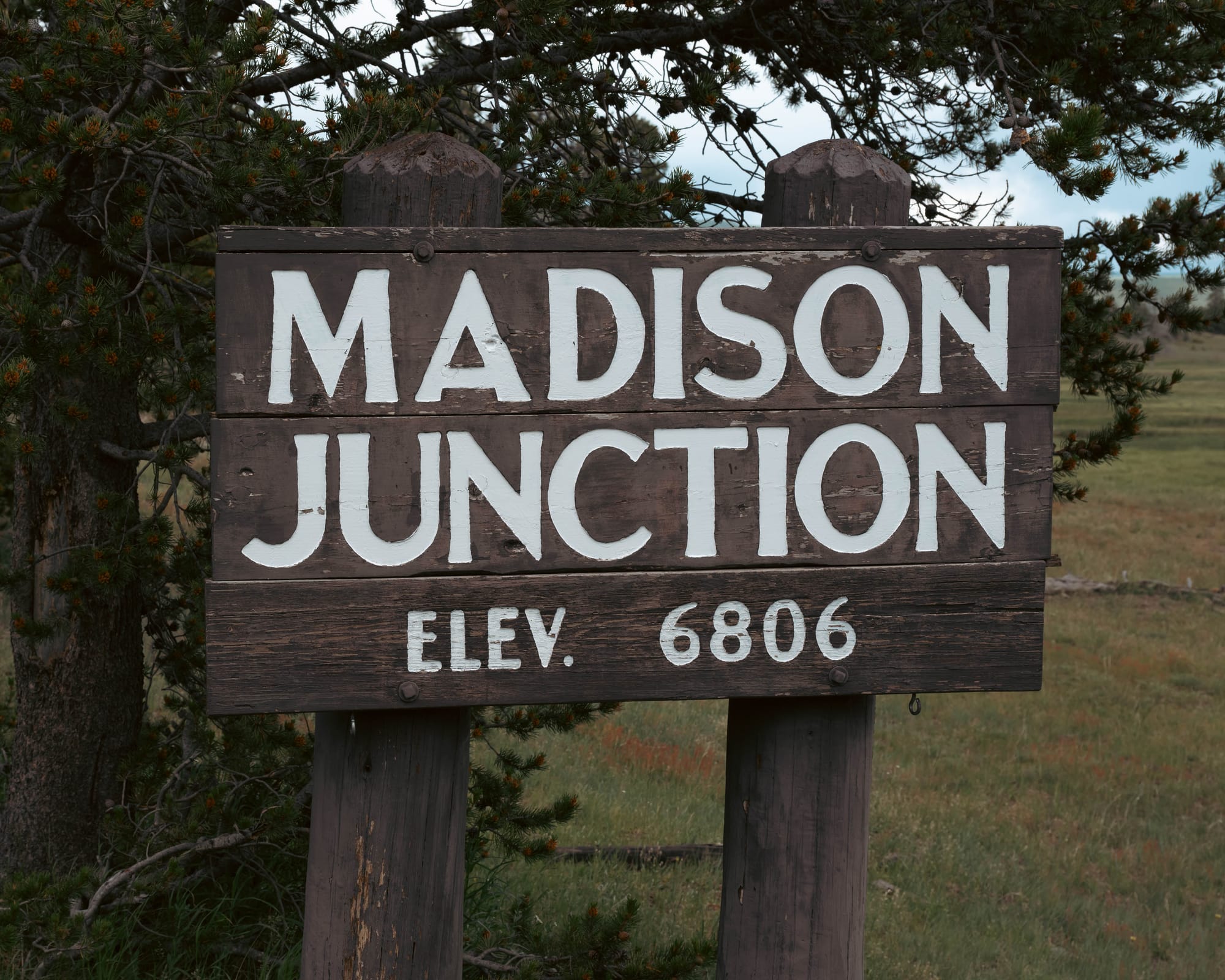
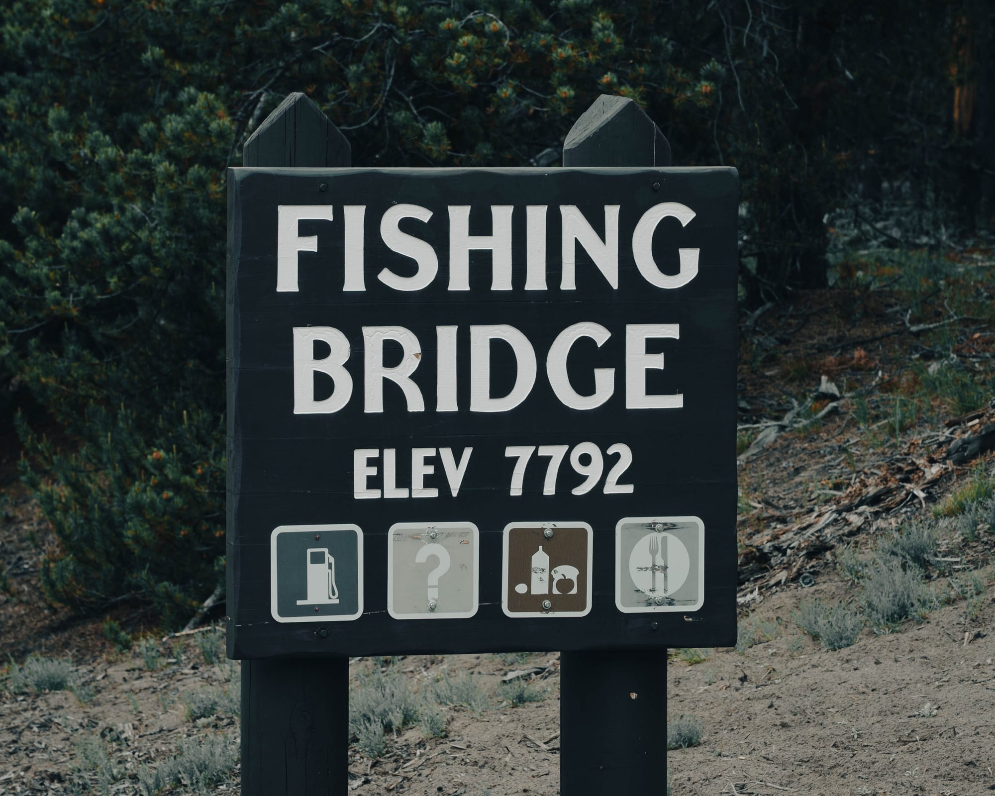
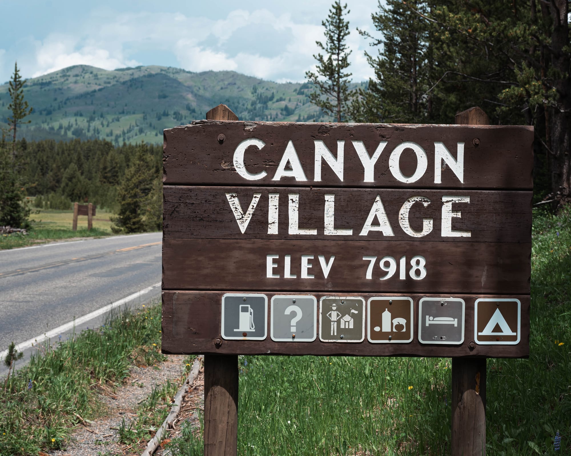
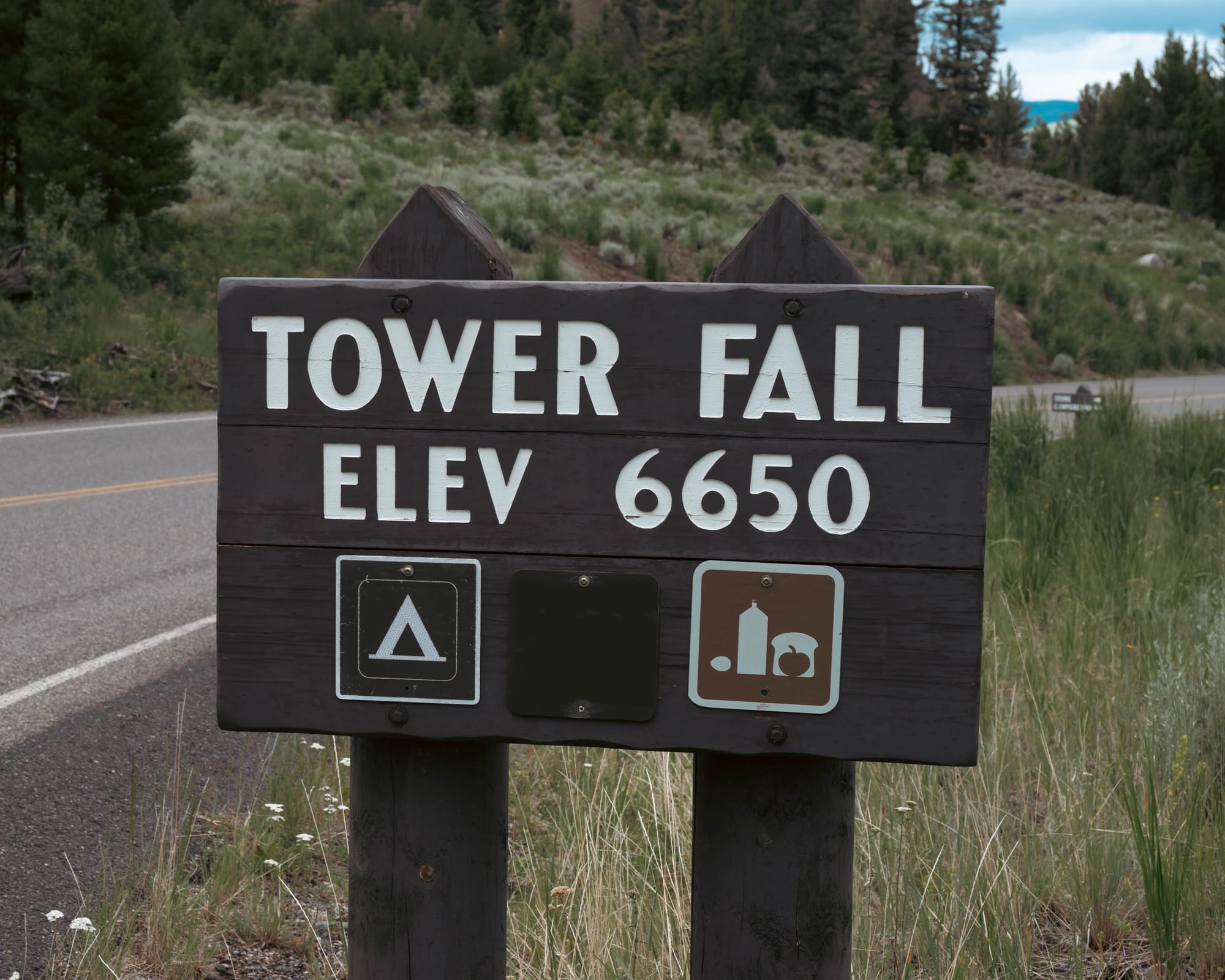
For us, Yellowstone became five overlapping worlds:
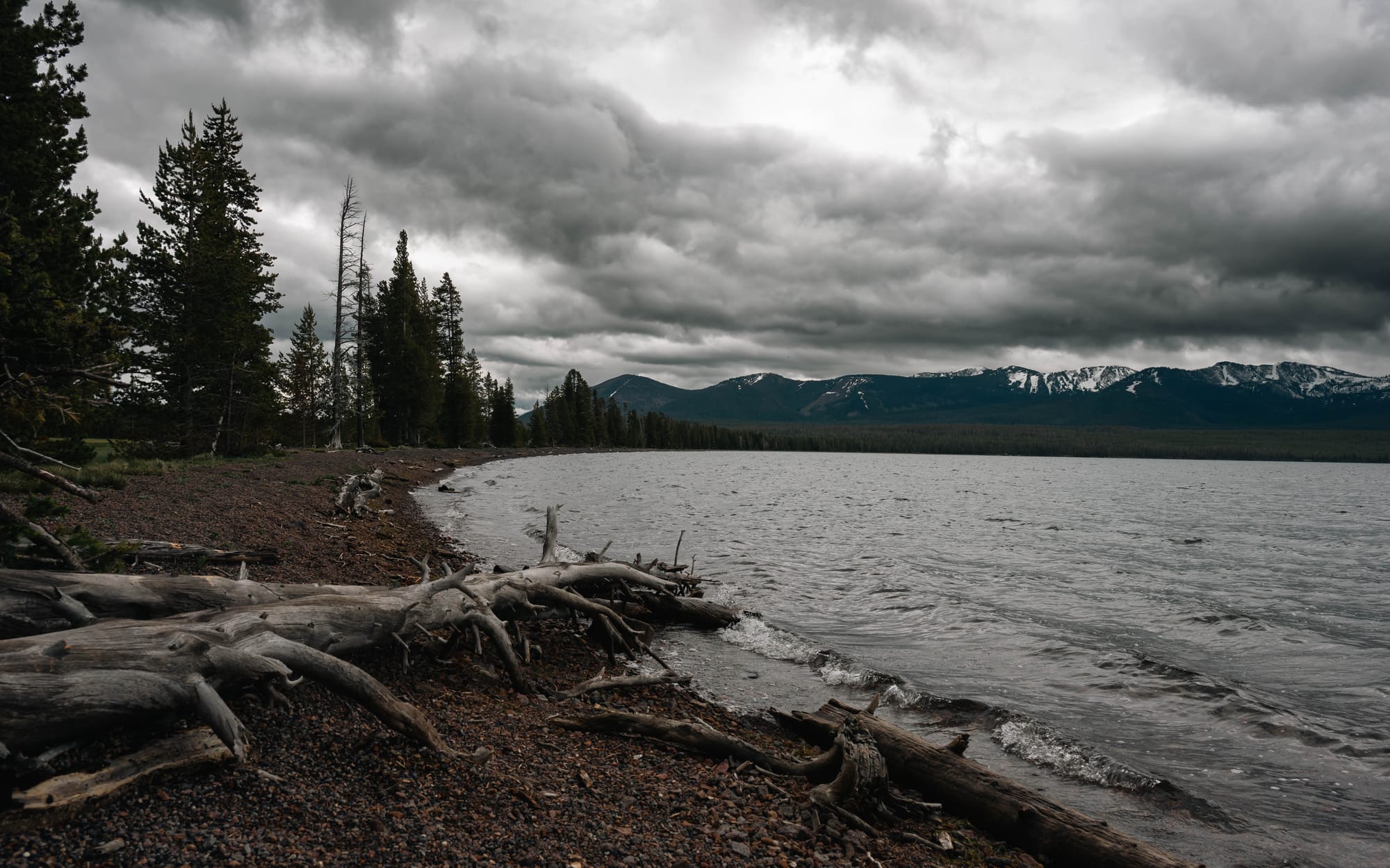
- Lake Country around Yellowstone Lake, Fishing Bridge, West Thumb, and the southern shoreline.
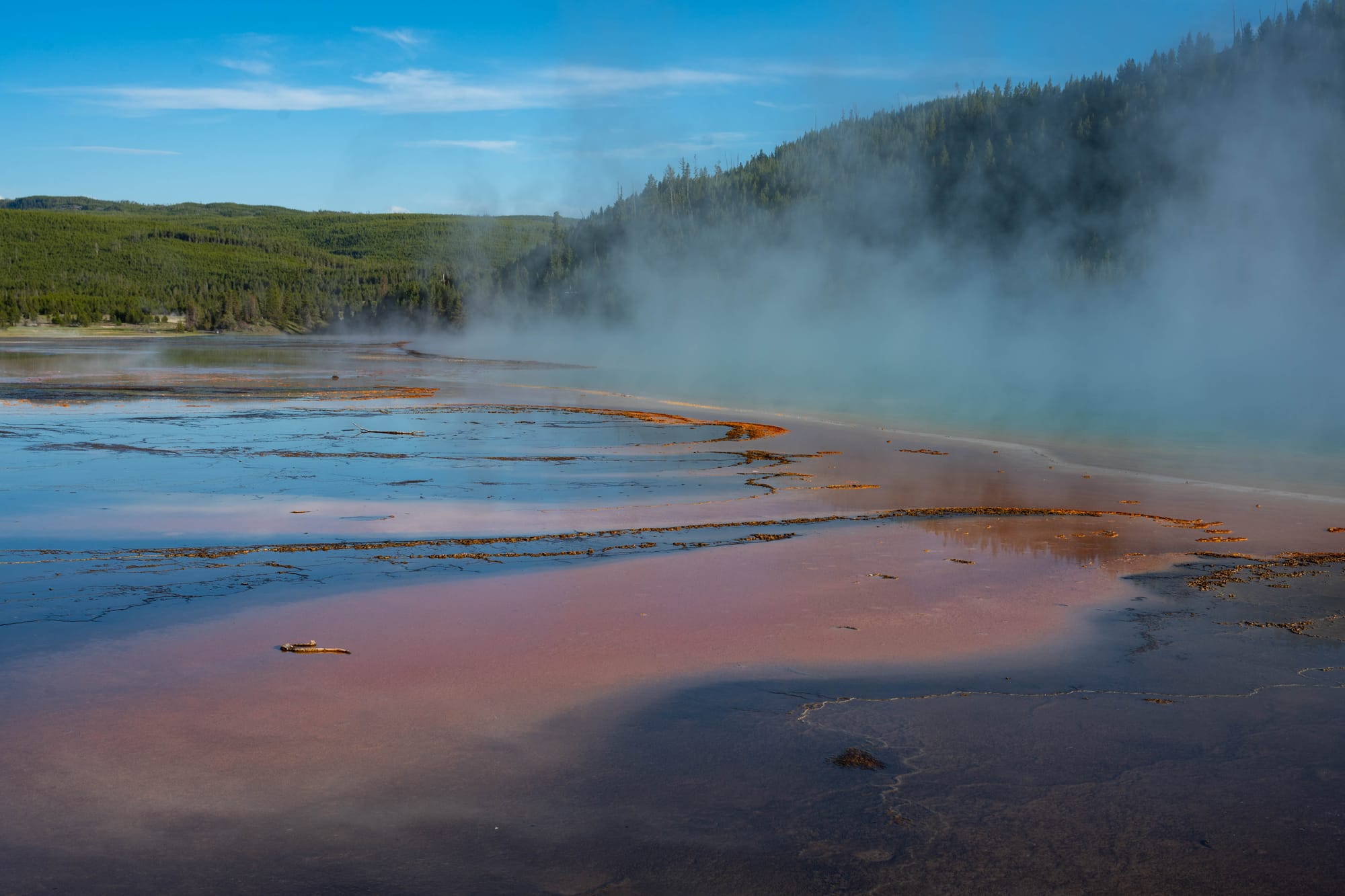
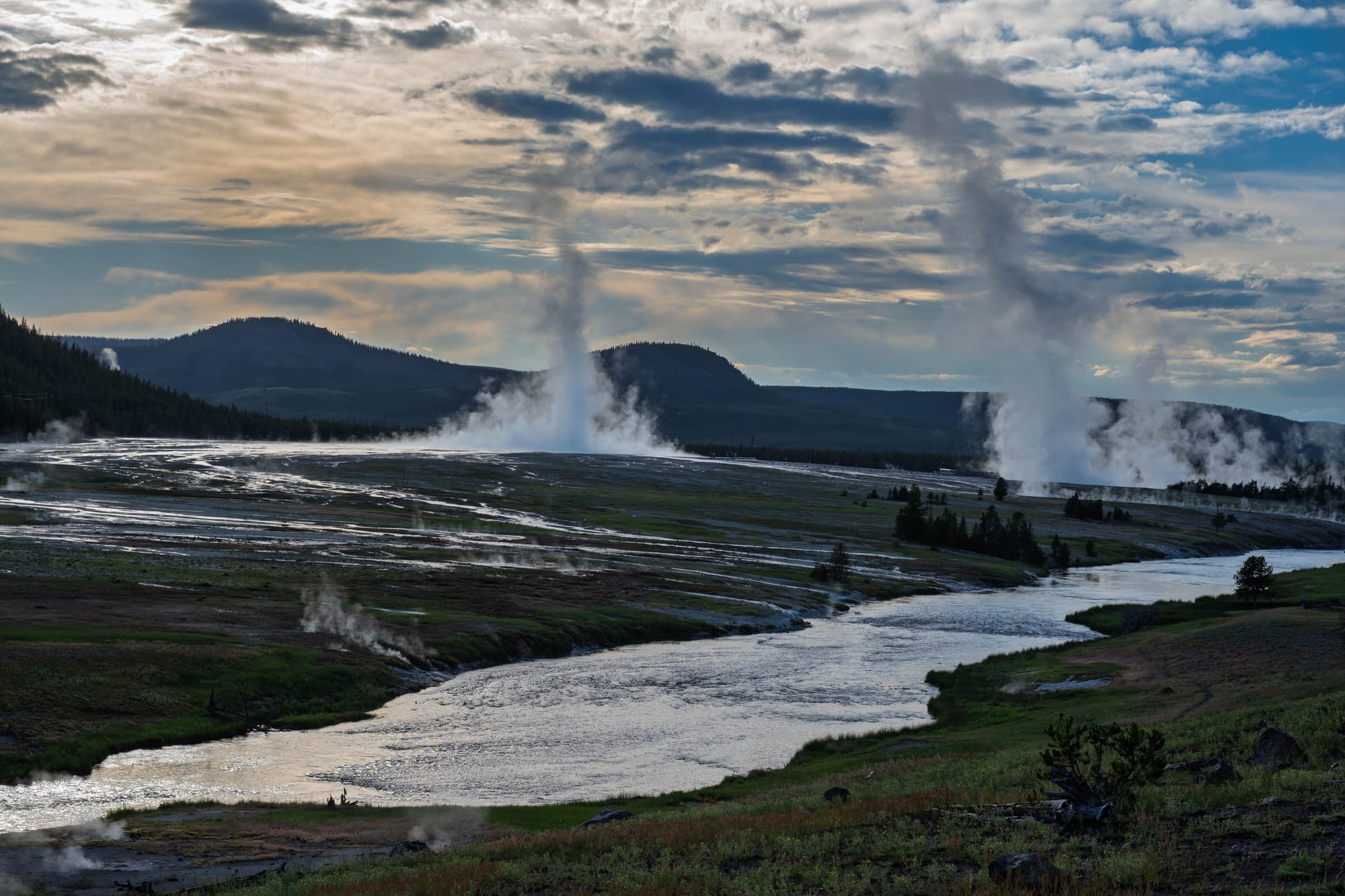
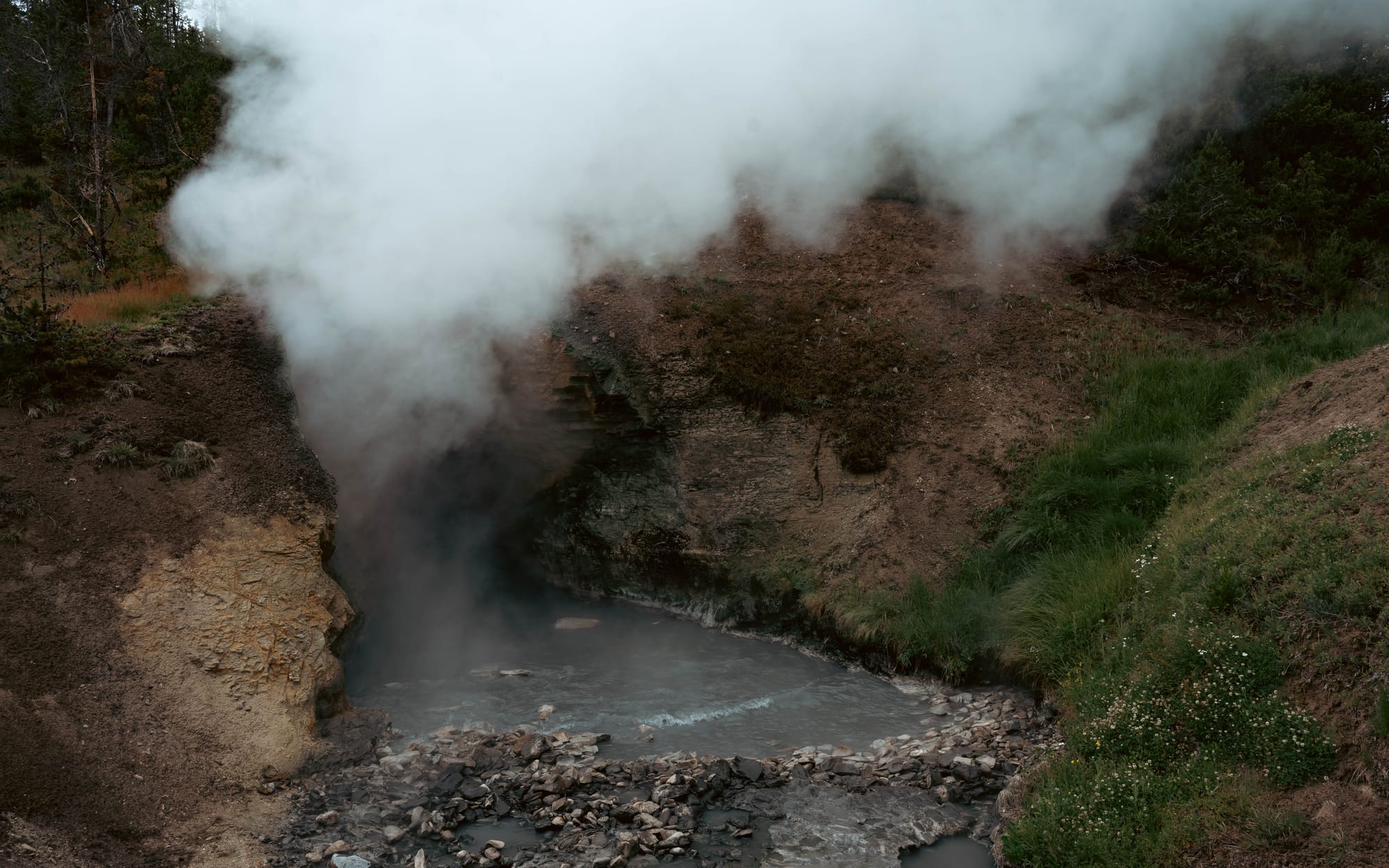
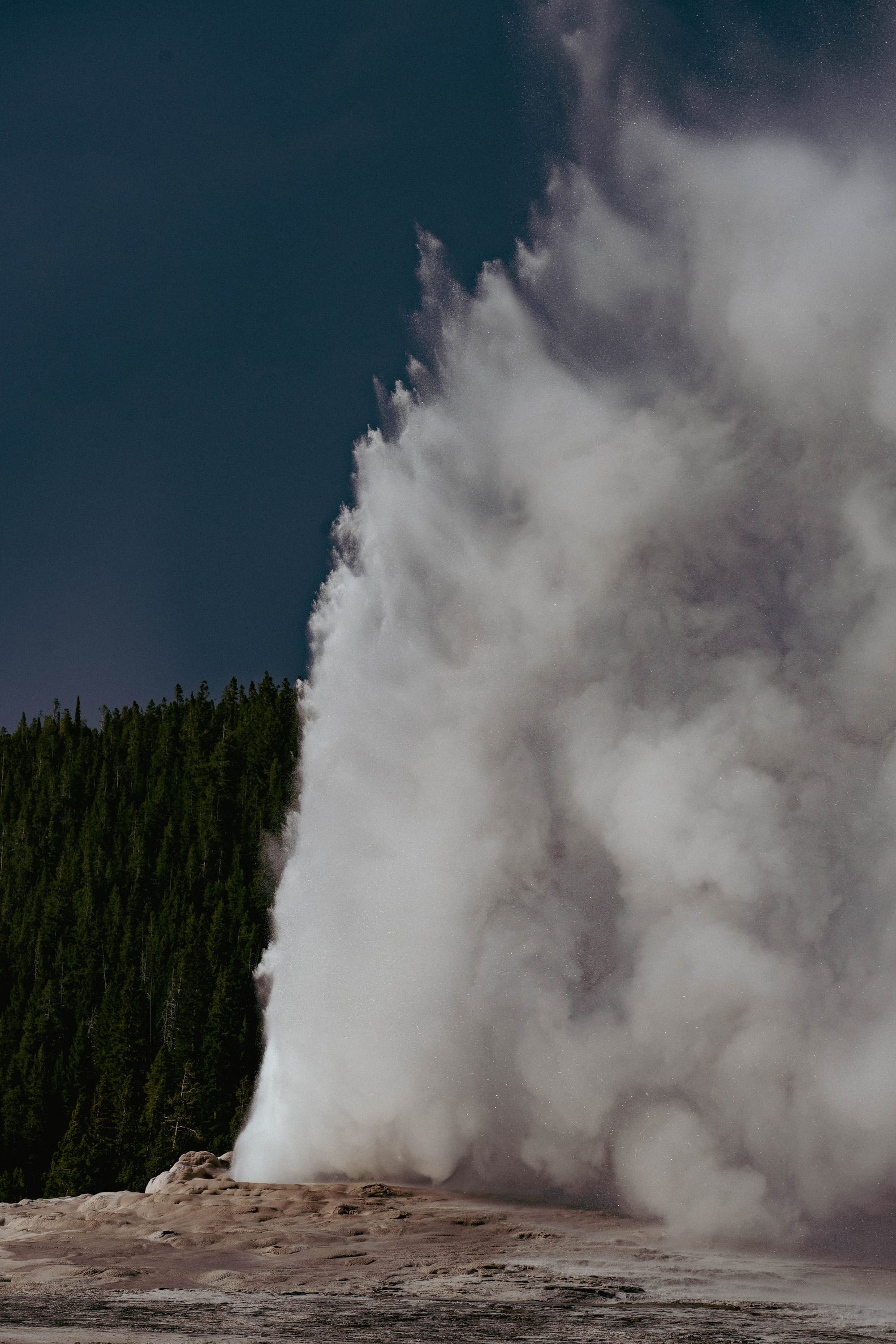
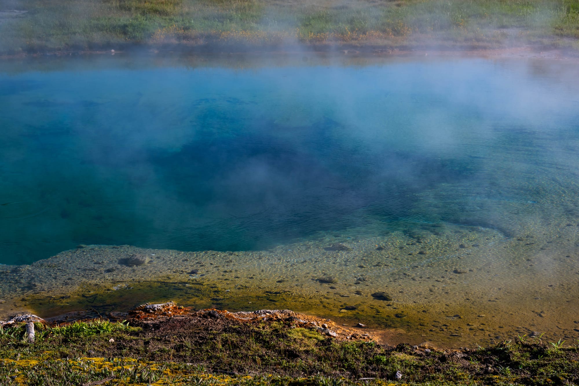
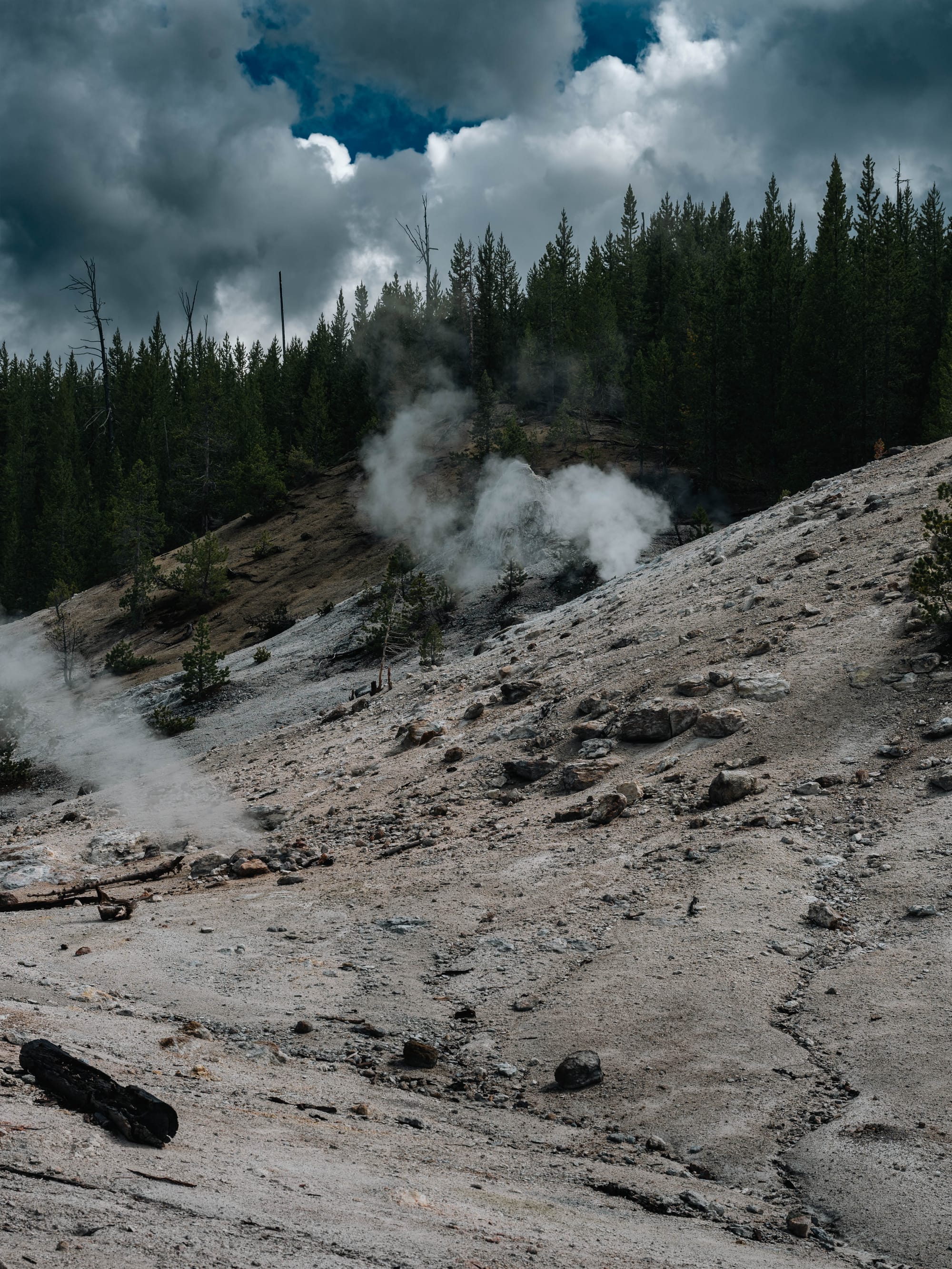
- Thermal Country, where the heat beneath the surface reveals itself through geysers, fumaroles, mud pots, and hot springs.
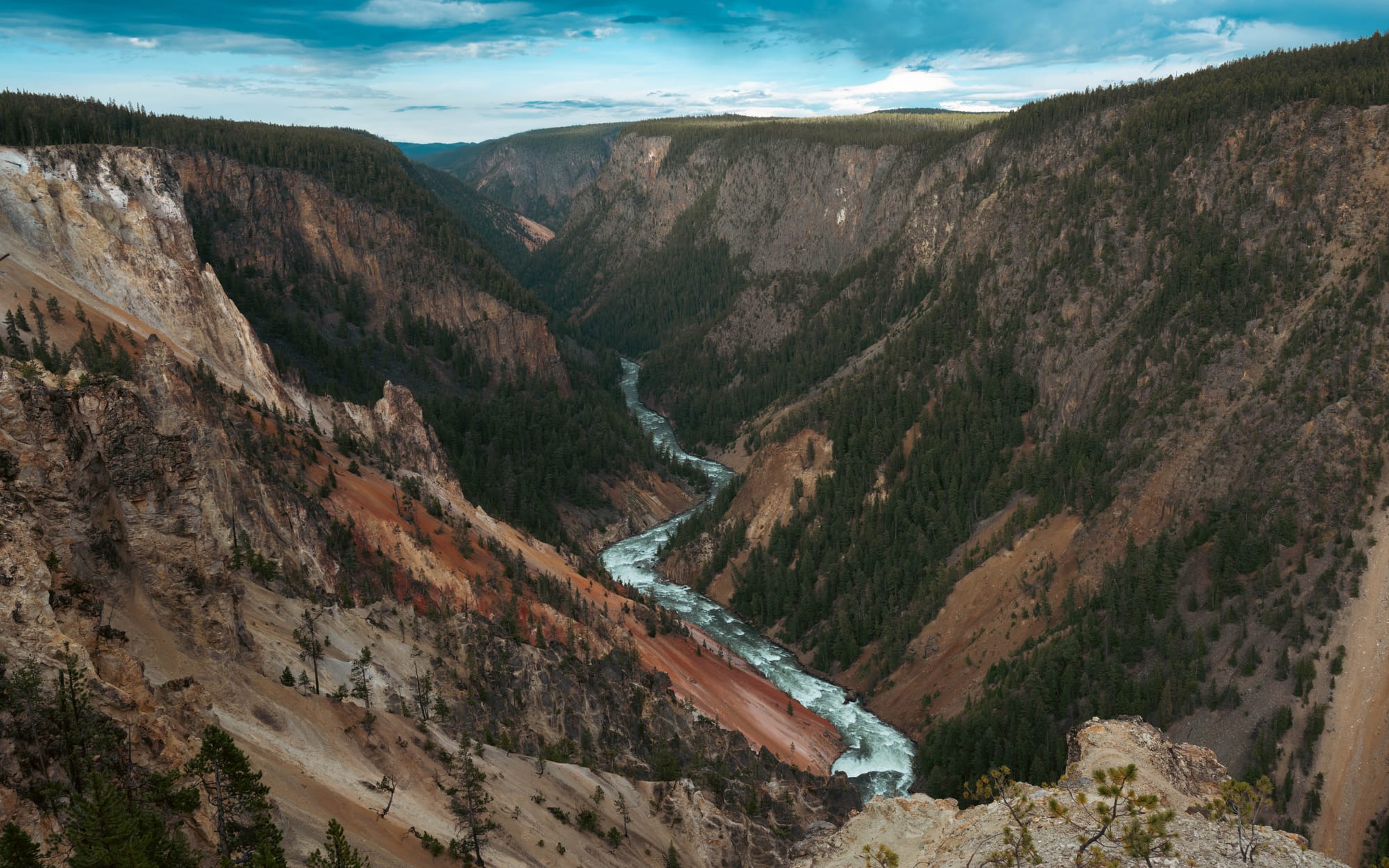
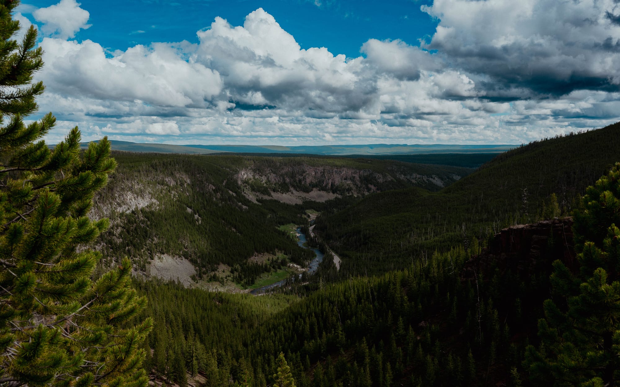
- River Country, where the Yellowstone River carved the Grand Canyon and continues north through the heart of the park.
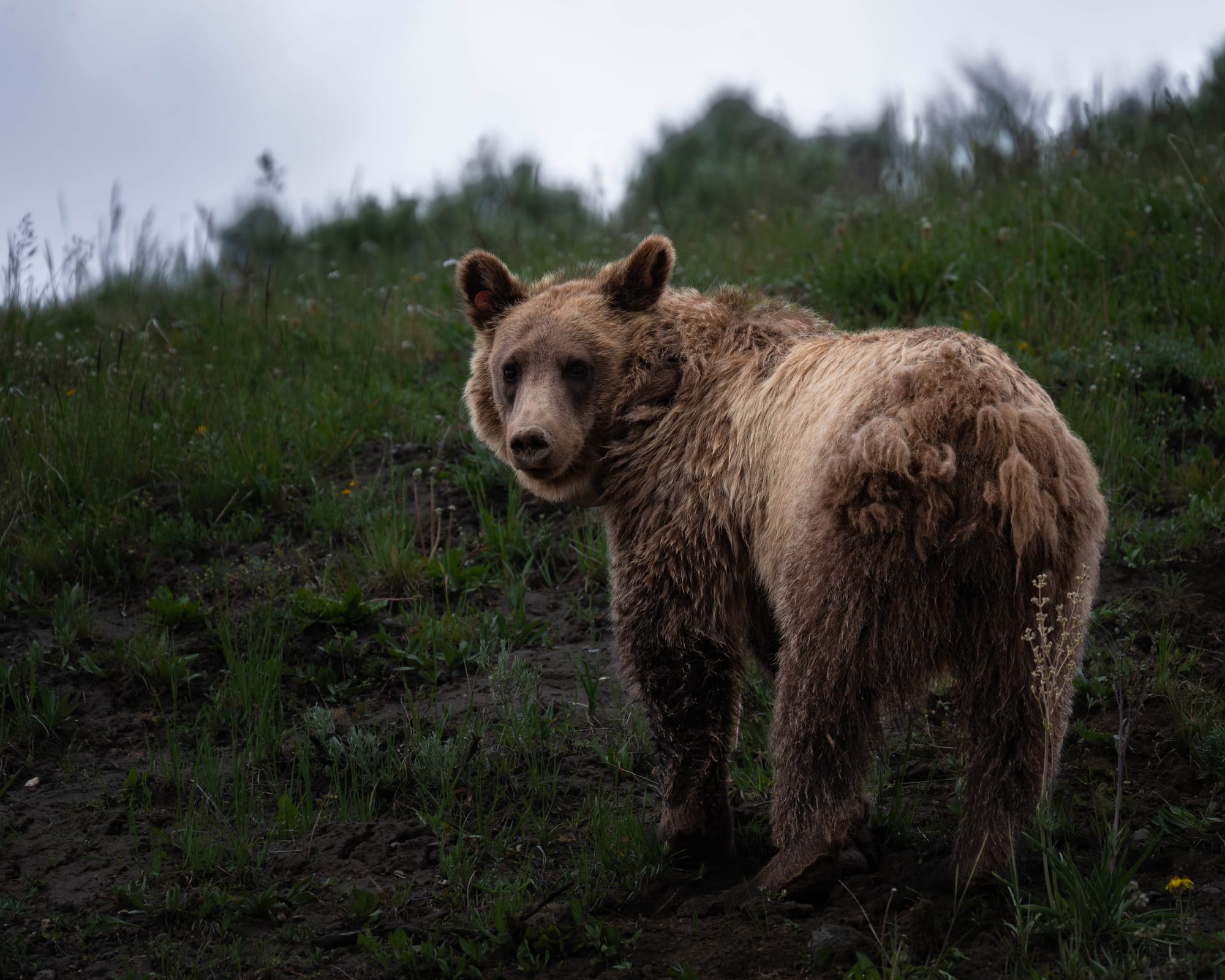
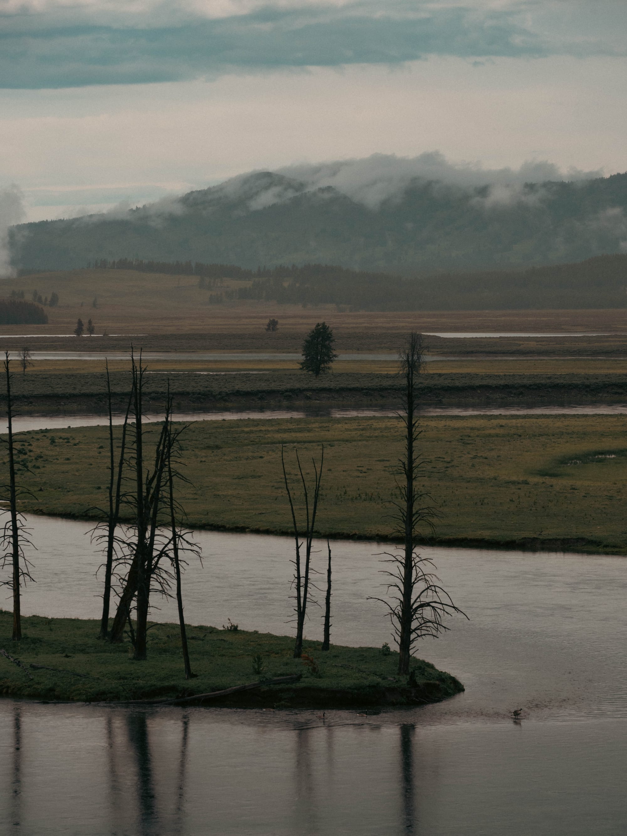
- Valley Country, including Hayden and Lamar, where wildlife often becomes the main attraction.
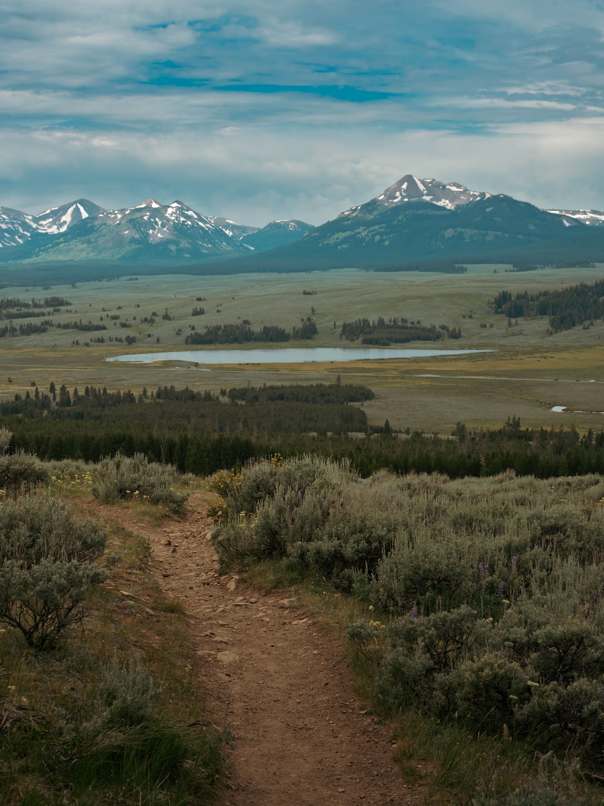
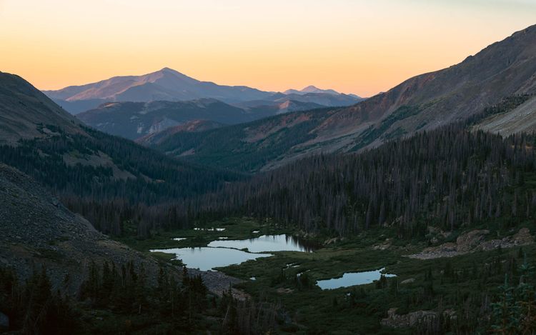
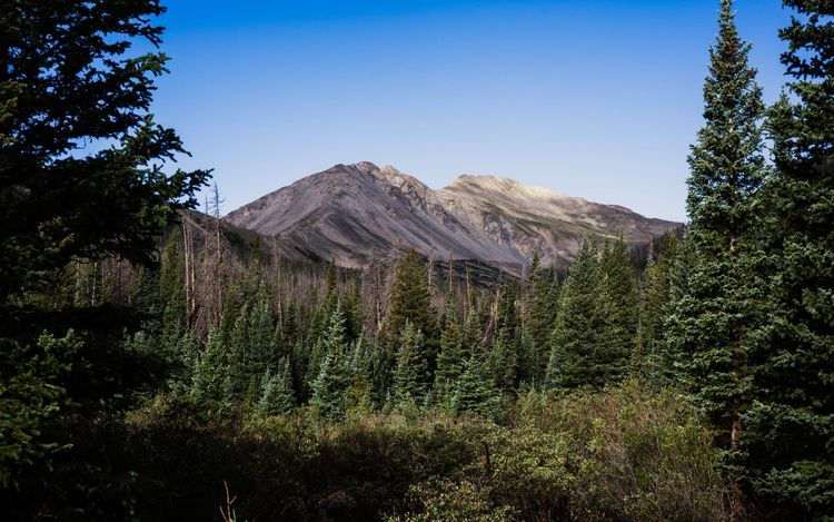
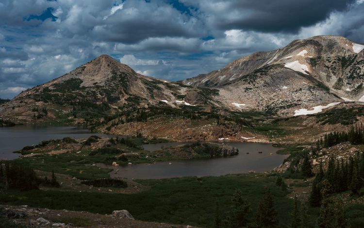
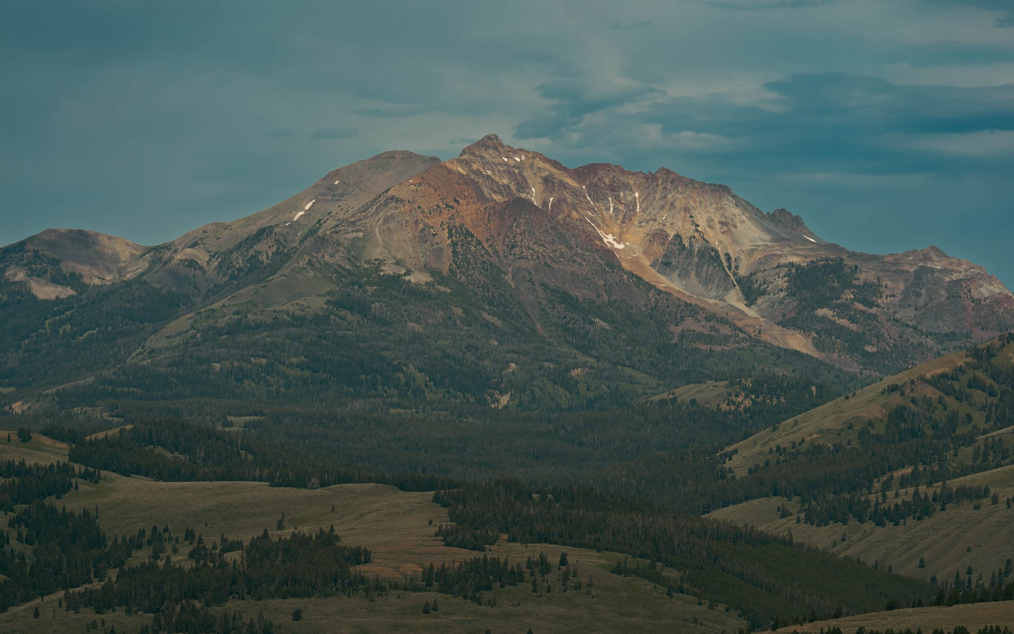
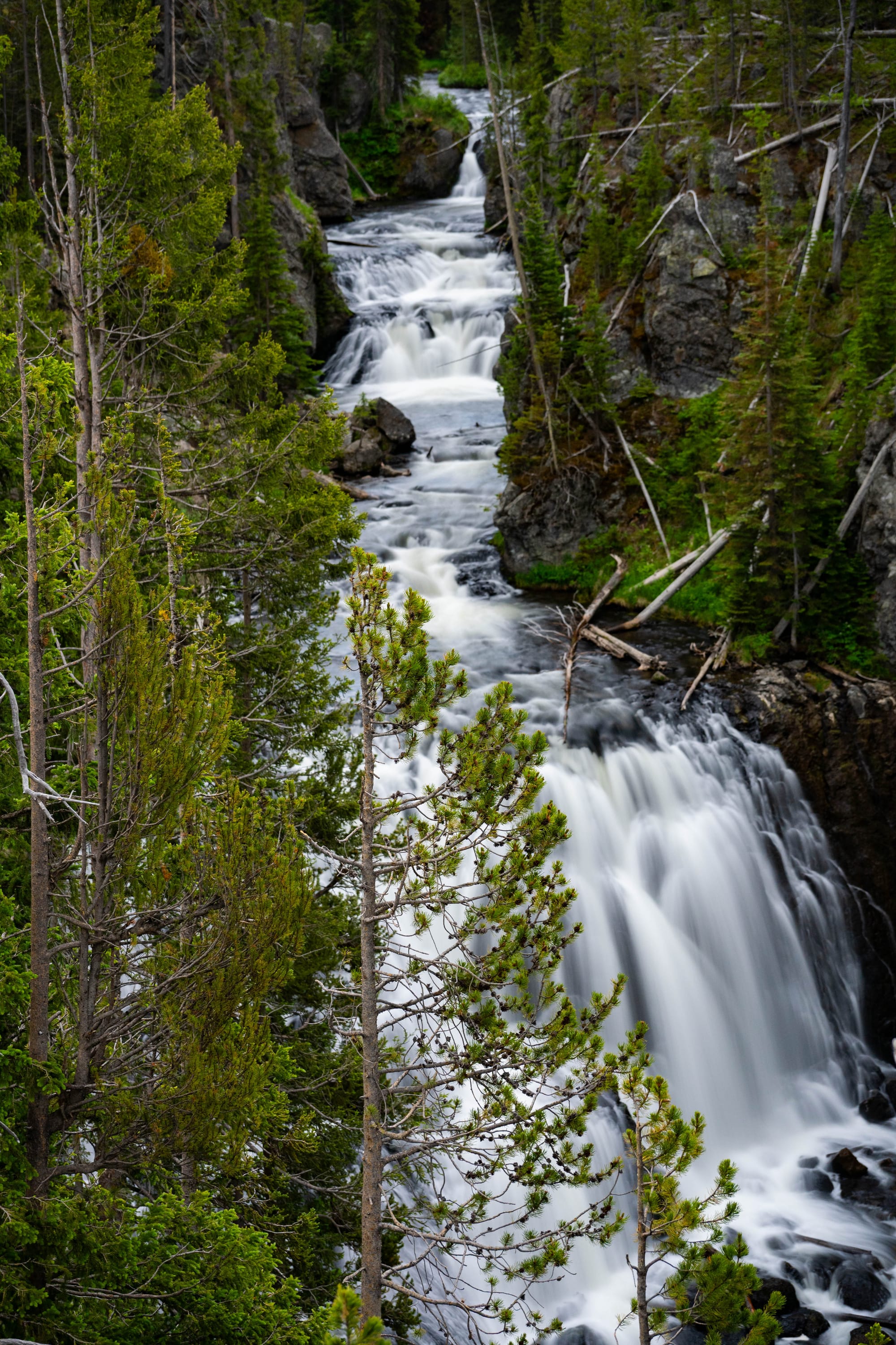
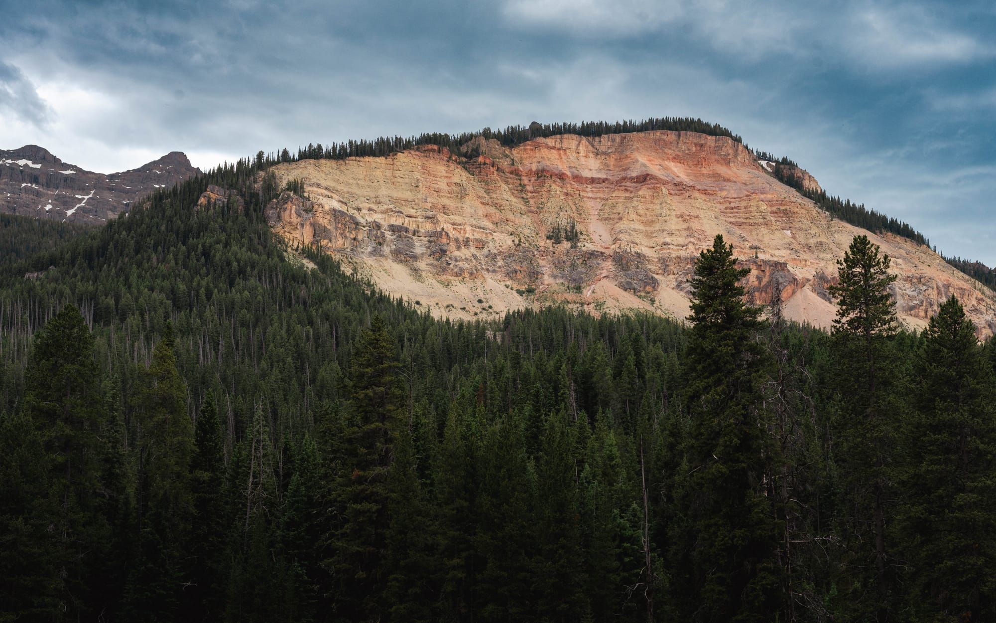
- Mountain Country, where summits, forests, and alpine trails reveal a very different Yellowstone than the boardwalks below.
Those landscapes overlap constantly, but thinking this way made the park far easier to understand than simply following the map.
The Yellowstone River Ties It Together
One thing didn't become obvious until several days into the trip.
Water connects almost everything.
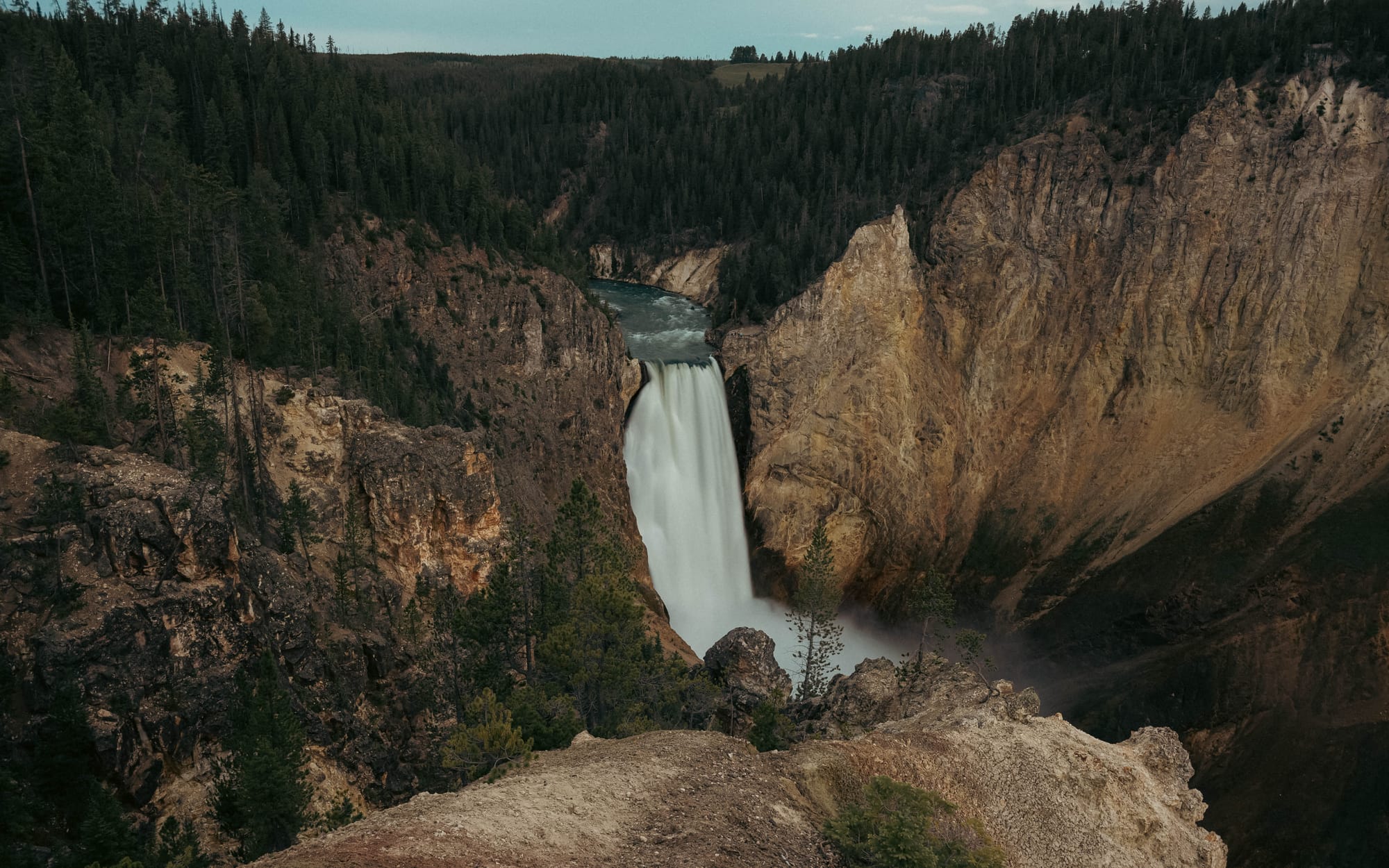
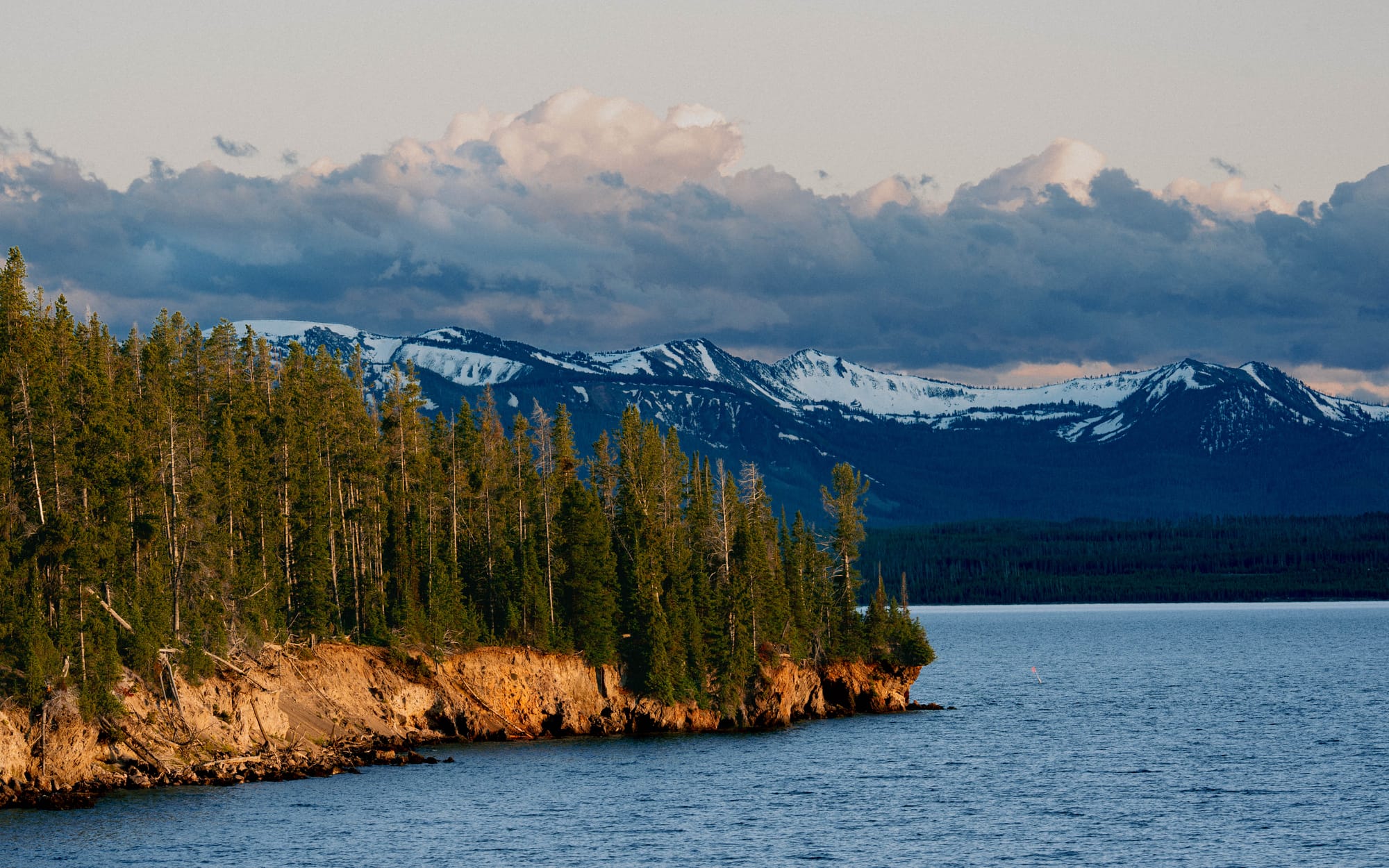
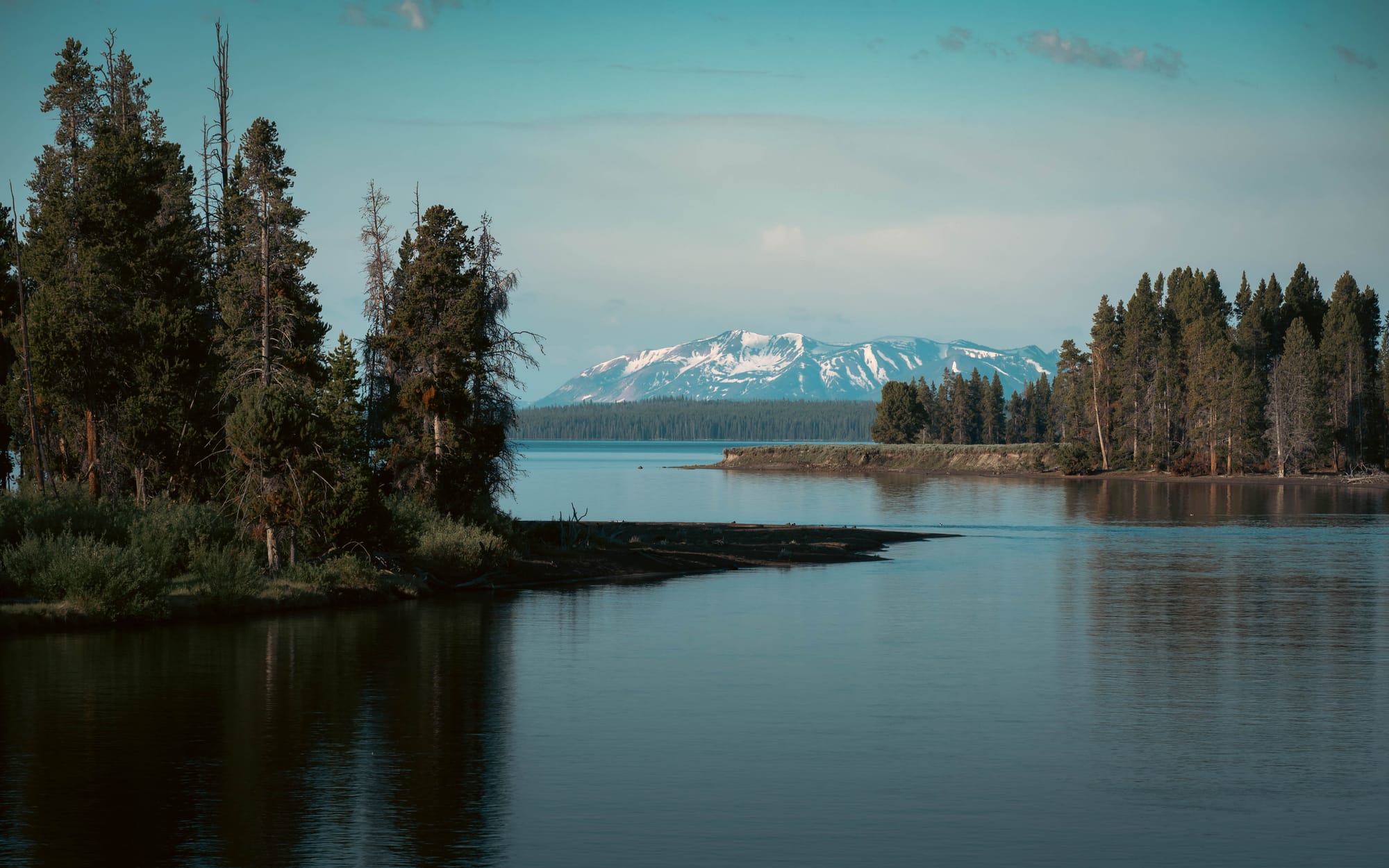
Yellowstone Lake sits near the center of the park, nearly 8,000 feet above sea level. From there, the Yellowstone River flows north through Hayden Valley before dropping into the Grand Canyon of the Yellowstone, carving one of the park's defining landscapes long before continuing toward Tower, Lamar Valley, and eventually leaving the park altogether.
Looking at a map, those places feel separate.
Driving between them, they feel even farther apart.
But they're all chapters of the same river.
Instead of seeing Yellowstone Lake, Hayden Valley, and the canyon as unrelated destinations, we started seeing them as one connected landscape shaped by water.
The lake slows everything down.
The valley spreads it out.
The canyon concentrates all of that energy into something dramatic.
Once we noticed that pattern, the park became much easier to read.
Learning to Live Inside Yellowstone
We spent our first five nights at Fishing Bridge RV Park before moving to Grant Campground for another four.
That wasn't a carefully crafted strategy.
It was simply the reservations we could get.
Looking back, I would absolutely split another Yellowstone trip between multiple campgrounds.
I would just choose them differently.
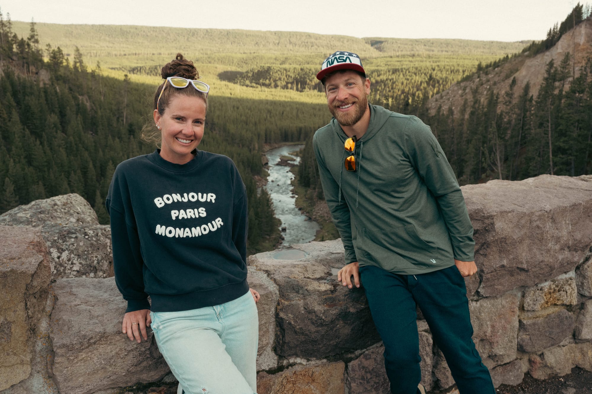
Fishing Bridge turned out to be an excellent place to learn the eastern side of the park. Full hookups, wide roads, and a central location made it easy to settle into Yellowstone's rhythm.
Grant Campground could not have been more different.
No hookups. Dense forest. The tightest pull-through site we've ever backed the Airstream into.
Getting into the site required patience.
Getting out required nearly twenty minutes of inch-by-inch adjustments between trees before we finally cleared the campground road.
Oddly enough, we preferred Grant.
The scenery felt wilder, the forest quieter, and with our batteries and solar, the lack of hookups barely mattered.
What did matter was location.
By the time we moved camp, Yellowstone finally had a shape in our heads, and we realized we'd accidentally booked two campgrounds that served many of the same destinations. If we planned another trip, we'd intentionally spread our stays farther apart to reduce drive times and better explore each region of the park.
Yellowstone Moves at Its Own Pace
On our first afternoon, we left Fishing Bridge around 3:30, planning to drive much of the Lower Loop before returning that evening.
The itinerary looked reasonable.
- Kepler Cascades.
- Old Faithful.
- Midway Geyser Basin.
- Grand Prismatic Spring.
- Gibbon Falls.
- Hayden Valley.
Back to camp.
We returned at nearly 10 p.m.
Not because we lingered.
Because Yellowstone moves at its own pace.
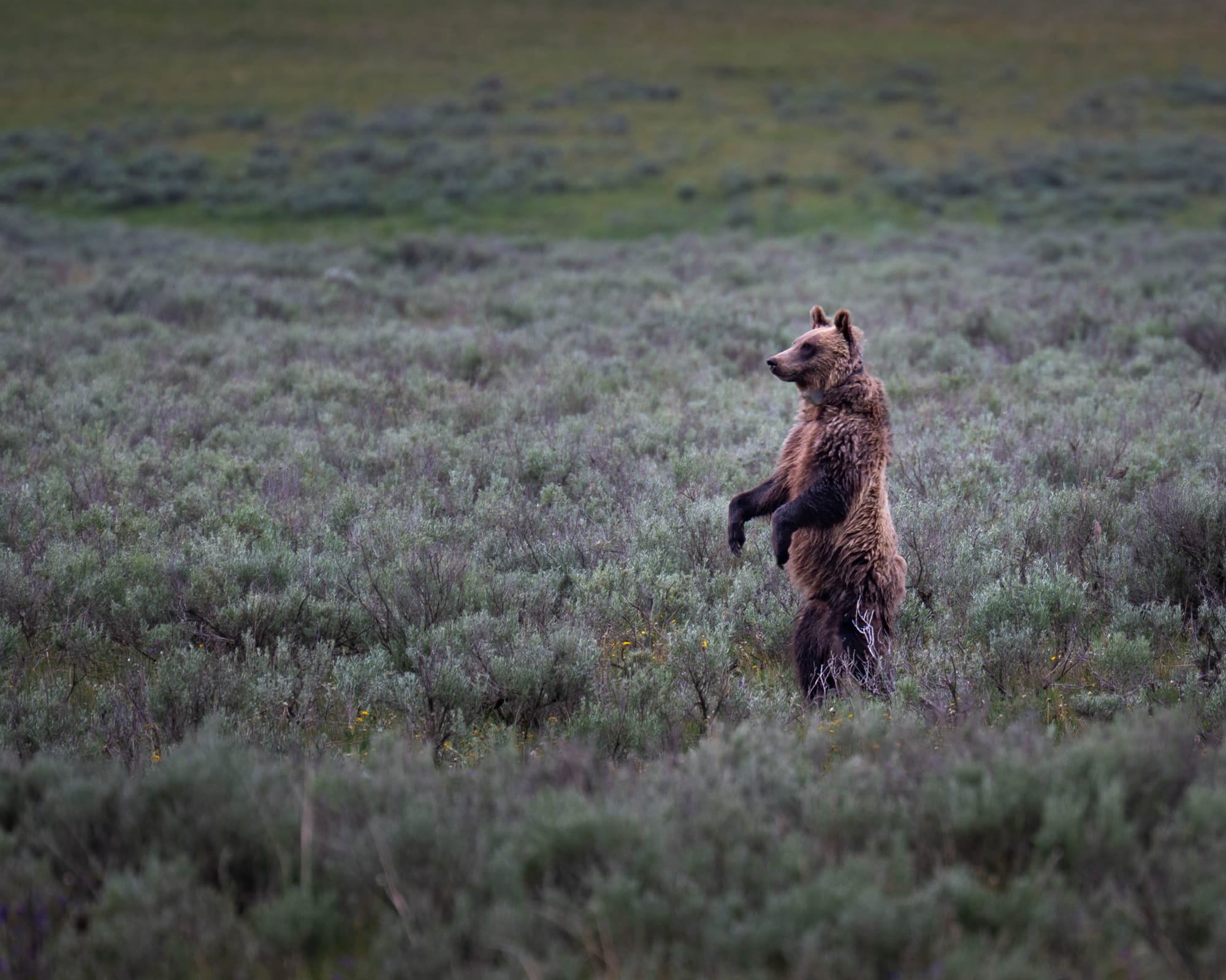
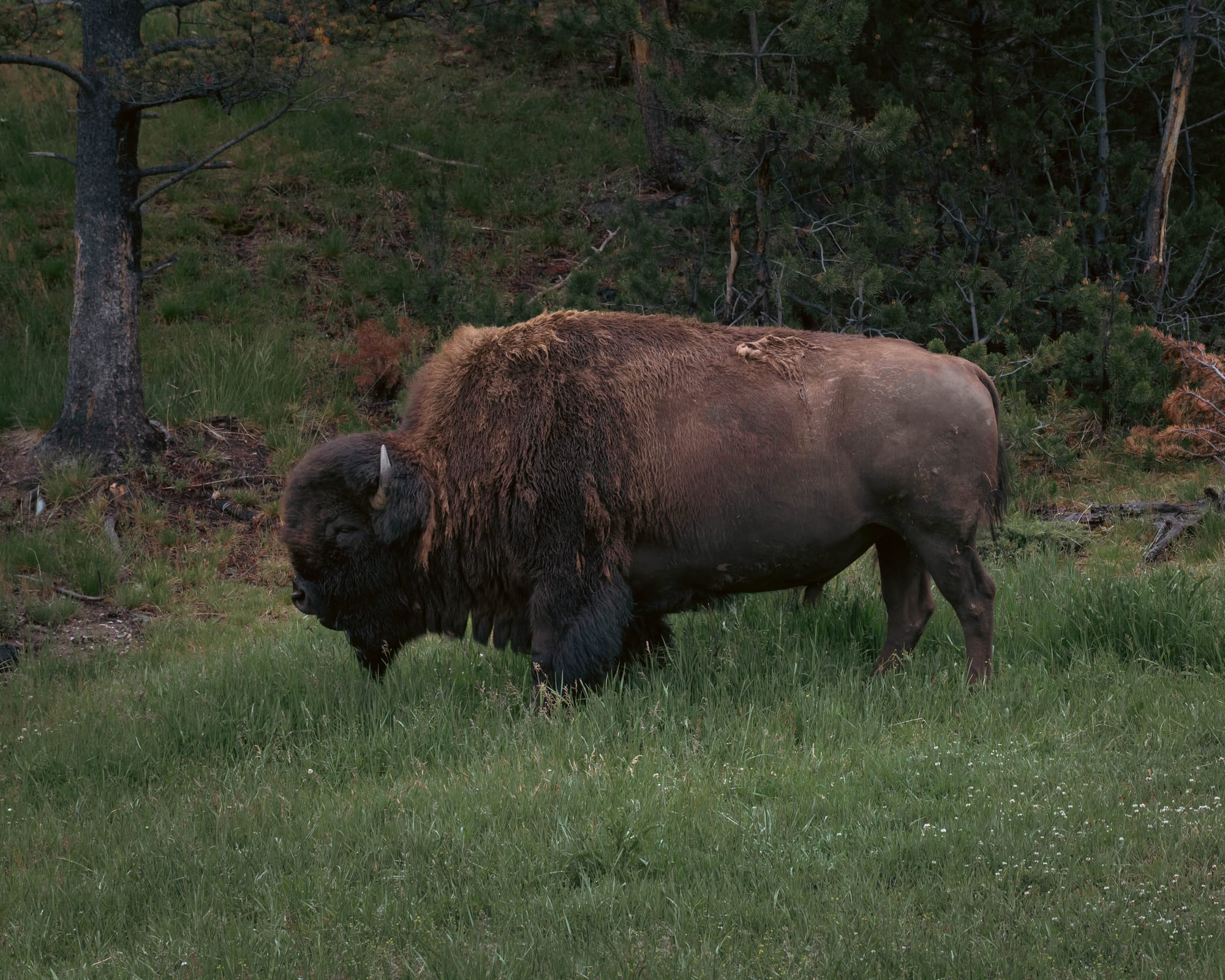
You stop for bison. A boardwalk takes longer than expected. Someone spots a bear. Traffic stops. A pullout you never planned to visit suddenly becomes the best photograph of the day.
Distances that look short on a map quietly become full afternoons.
The East Side Became Our Classroom
Fishing Bridge turned out to be more than a convenient campground.
It became the place where Yellowstone finally started making sense.
Most of our drives began beside Yellowstone Lake. Heading north took us through Hayden Valley and toward the Grand Canyon of the Yellowstone. Turning south led toward West Thumb, Grant, and the lower half of the park. From one campground, we repeatedly moved through Lake Country, Valley Country, River Country, and Mountain Country.
That repetition gave the map meaning.
Yellowstone Lake was no longer just a large blue shape near the center of the park. It fed the river moving through Hayden Valley. The same river then narrowed, accelerated, and dropped into the canyon before continuing north.
The places we had treated as separate destinations were part of the same landscape.
Fishing Bridge became our classroom because we traveled that corridor again and again. Each drive filled in another part of the picture until Yellowstone stopped feeling like a collection of distant attractions and began to feel like one connected system.
That understanding changed how we planned the rest of the stay.
One of the best strategies we found was something we started calling “pick your rocks.”
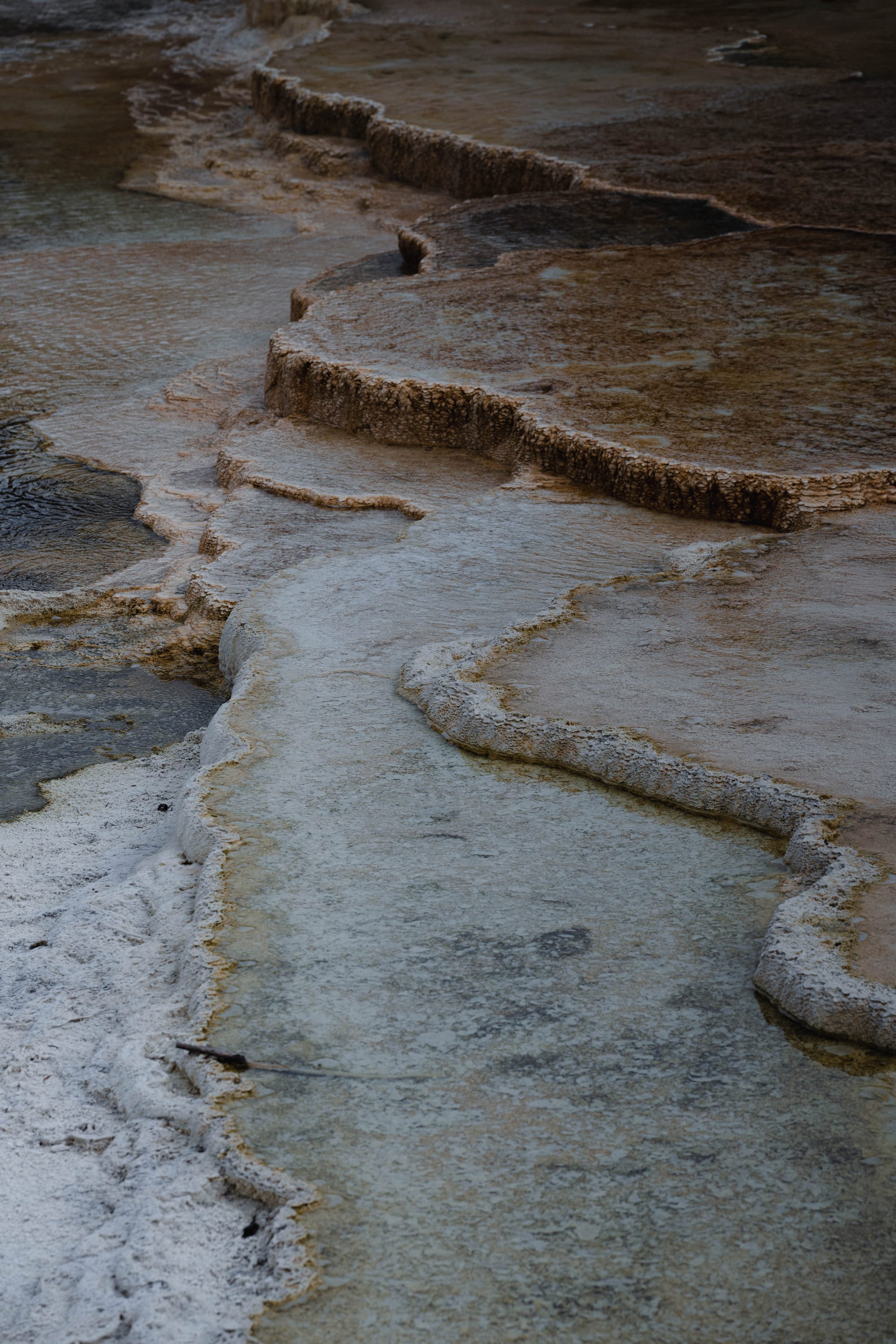
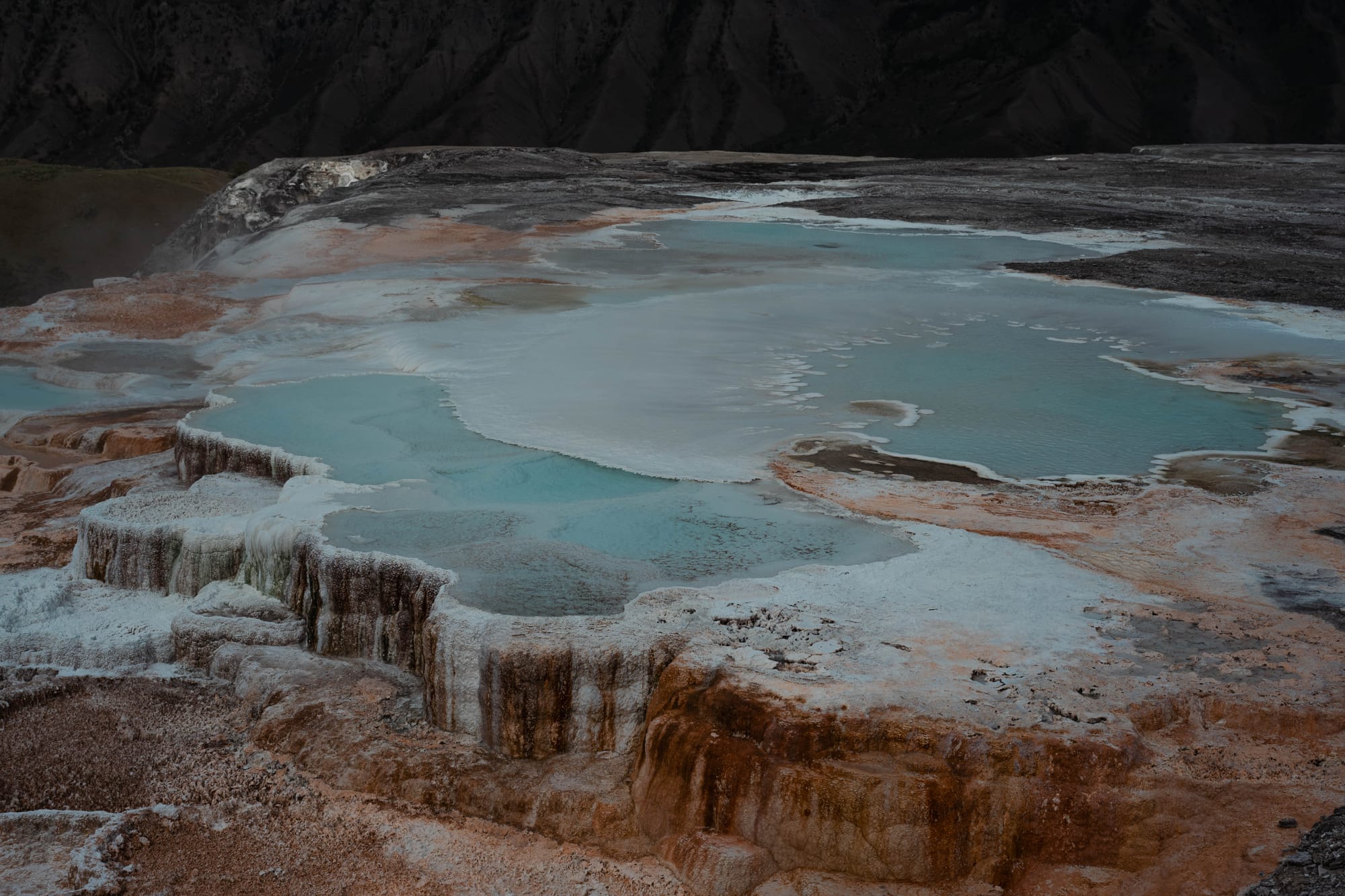
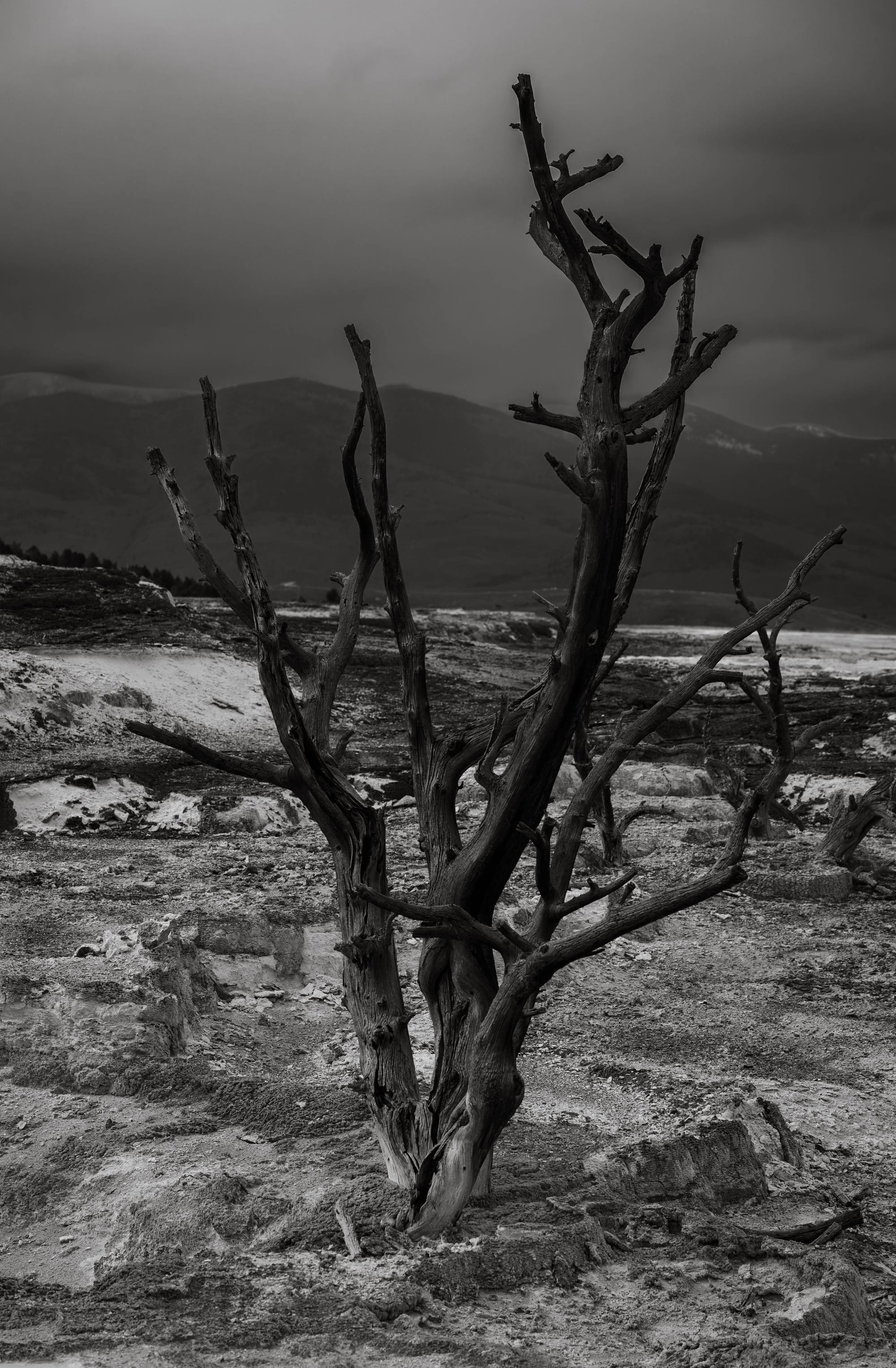
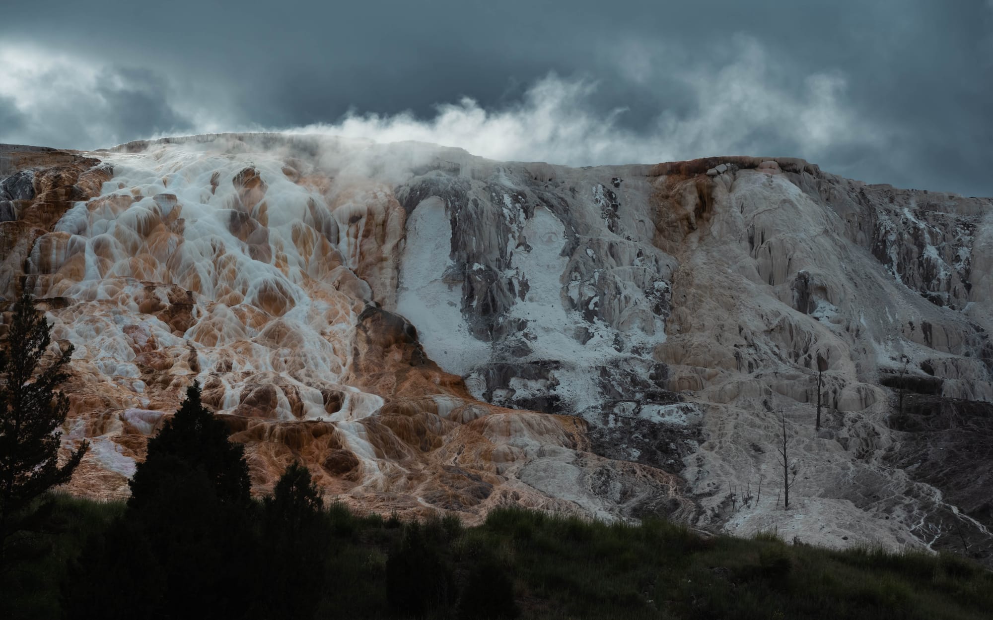
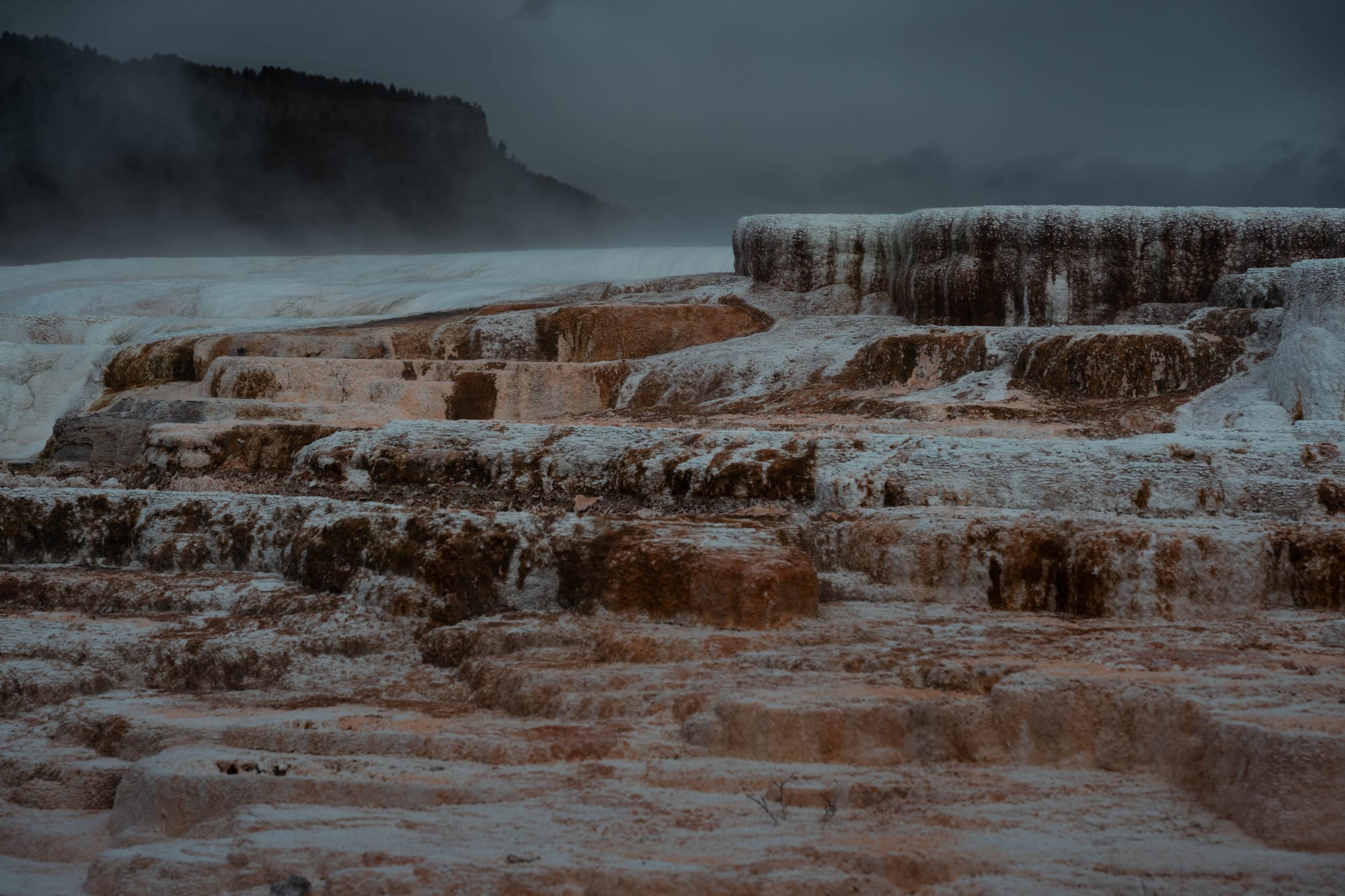
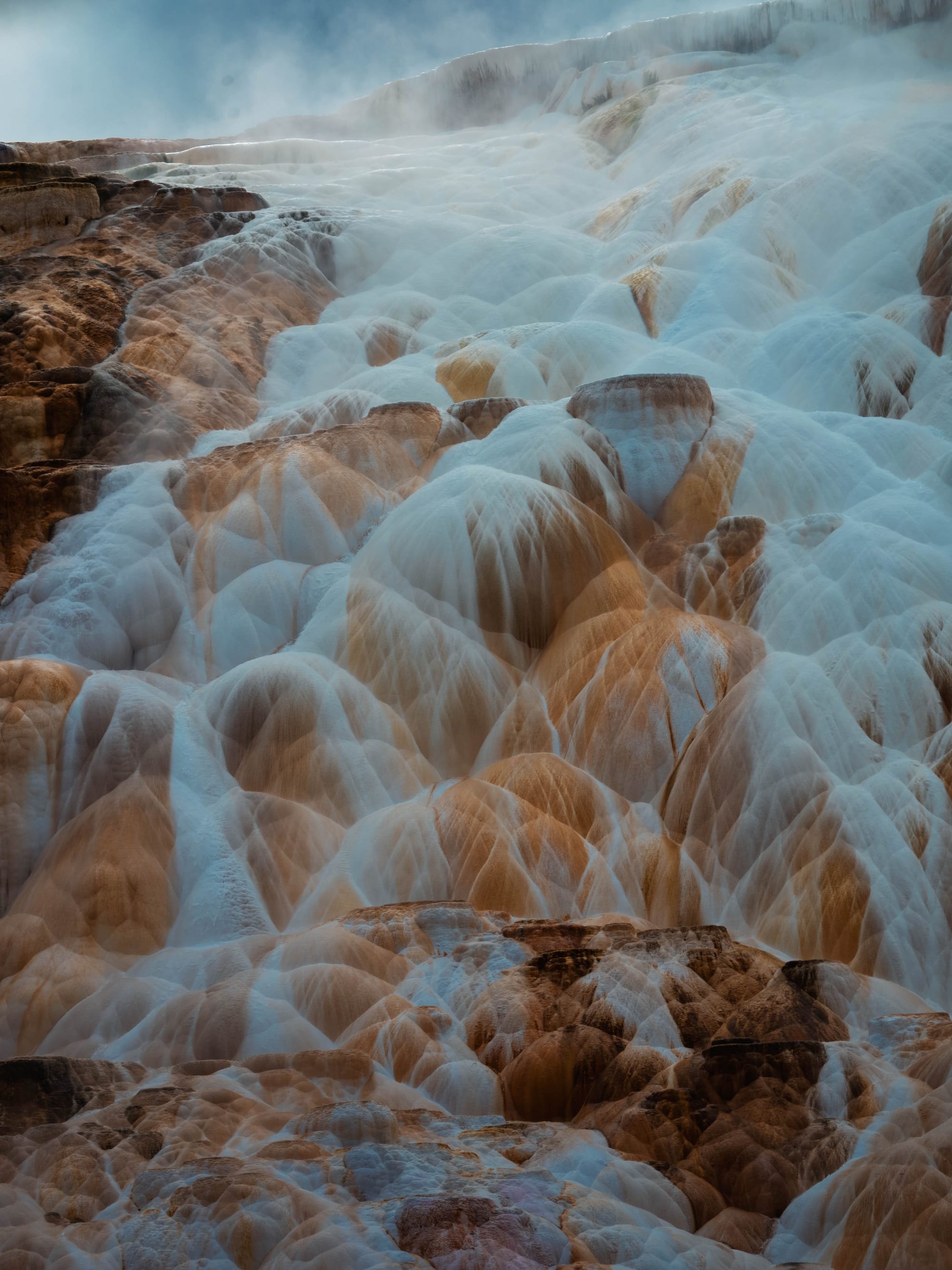
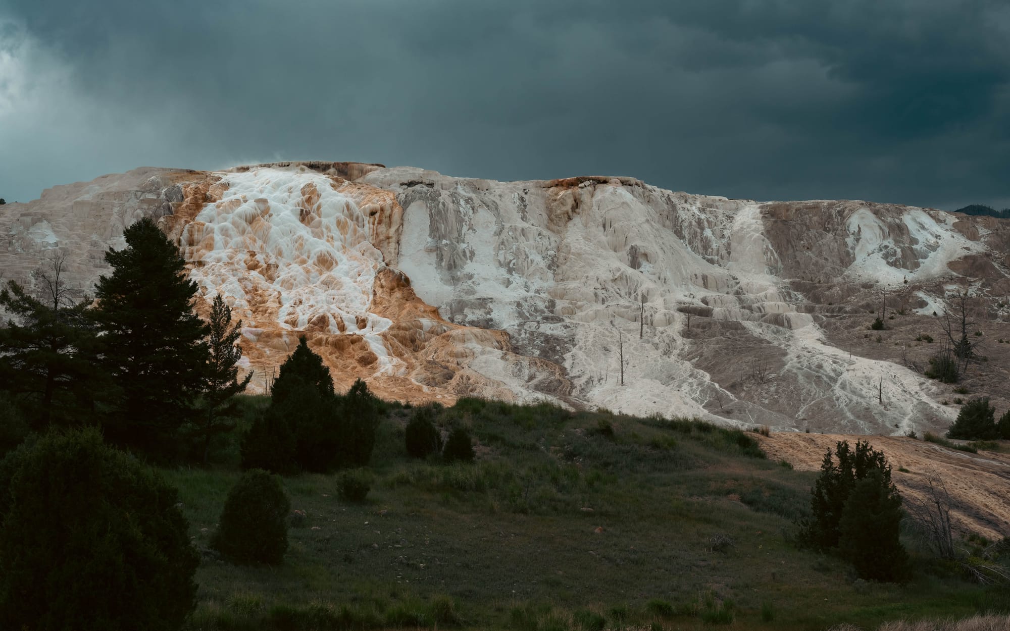
Thermal areas around Mammoth Hot Springs
Pick Your Rocks
The best way we found to plan a Yellowstone day was to choose one or two major priorities.
Those are the rocks.
A summit hike. A morning at the canyon. An evening wildlife drive. The full Upper Geyser Basin. A long trail to a lake.
Once those were fixed, everything else could fit around them.
Trying to connect six major attractions usually meant spending the day chasing the clock. Picking one major experience left room for a short hike, an overlook, a wildlife stop, or a change in plans when the weather turned.
Our first Lower Loop drive was useful because it gave us an overview.
It would have been a poor way to spend every day.
The map helped us find the places.
Priorities helped us experience them.
There's Always Next Time
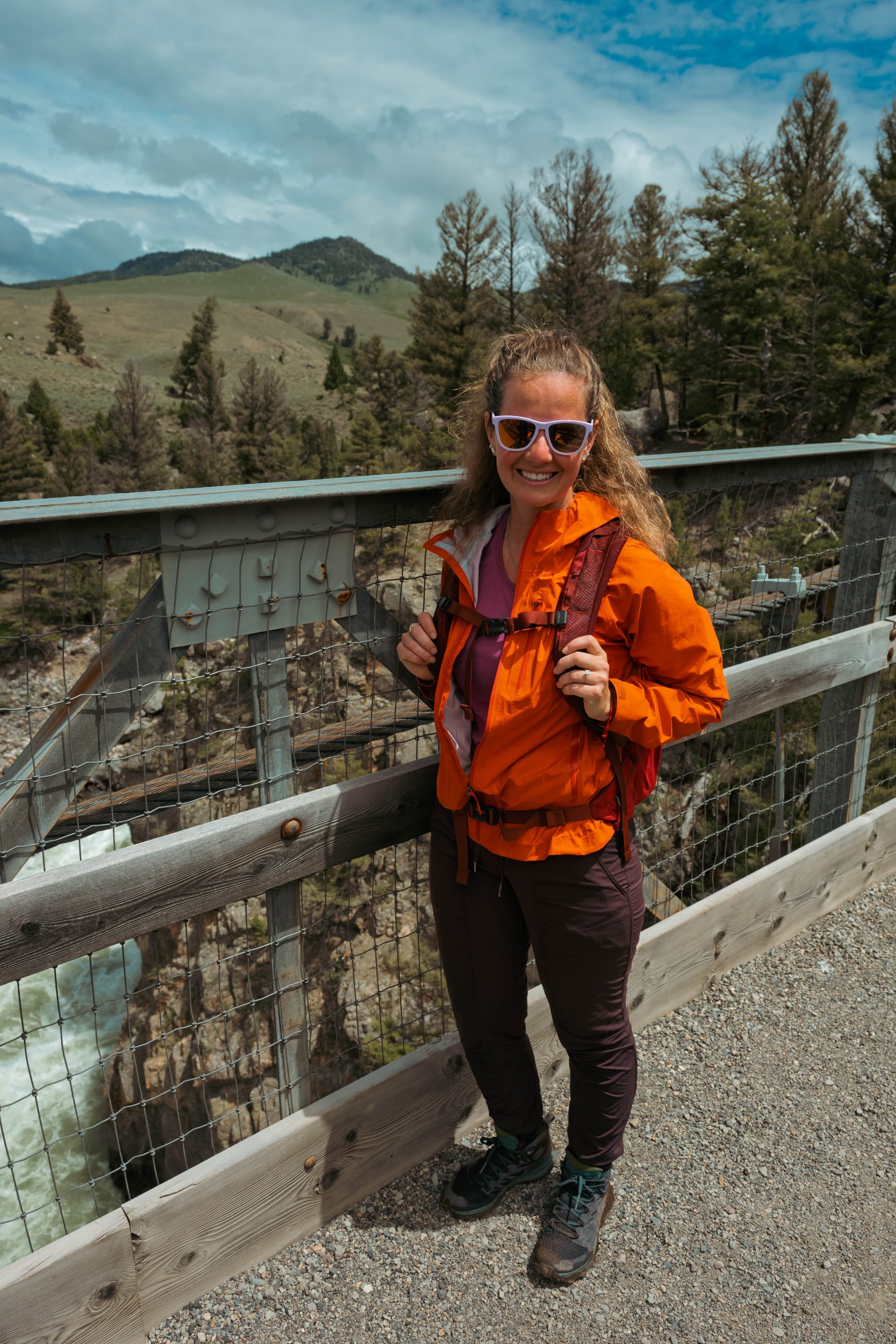
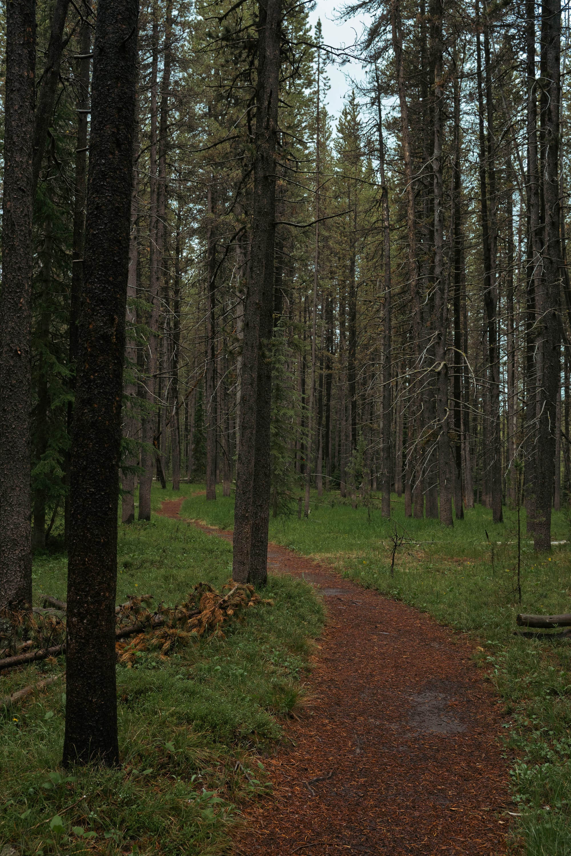
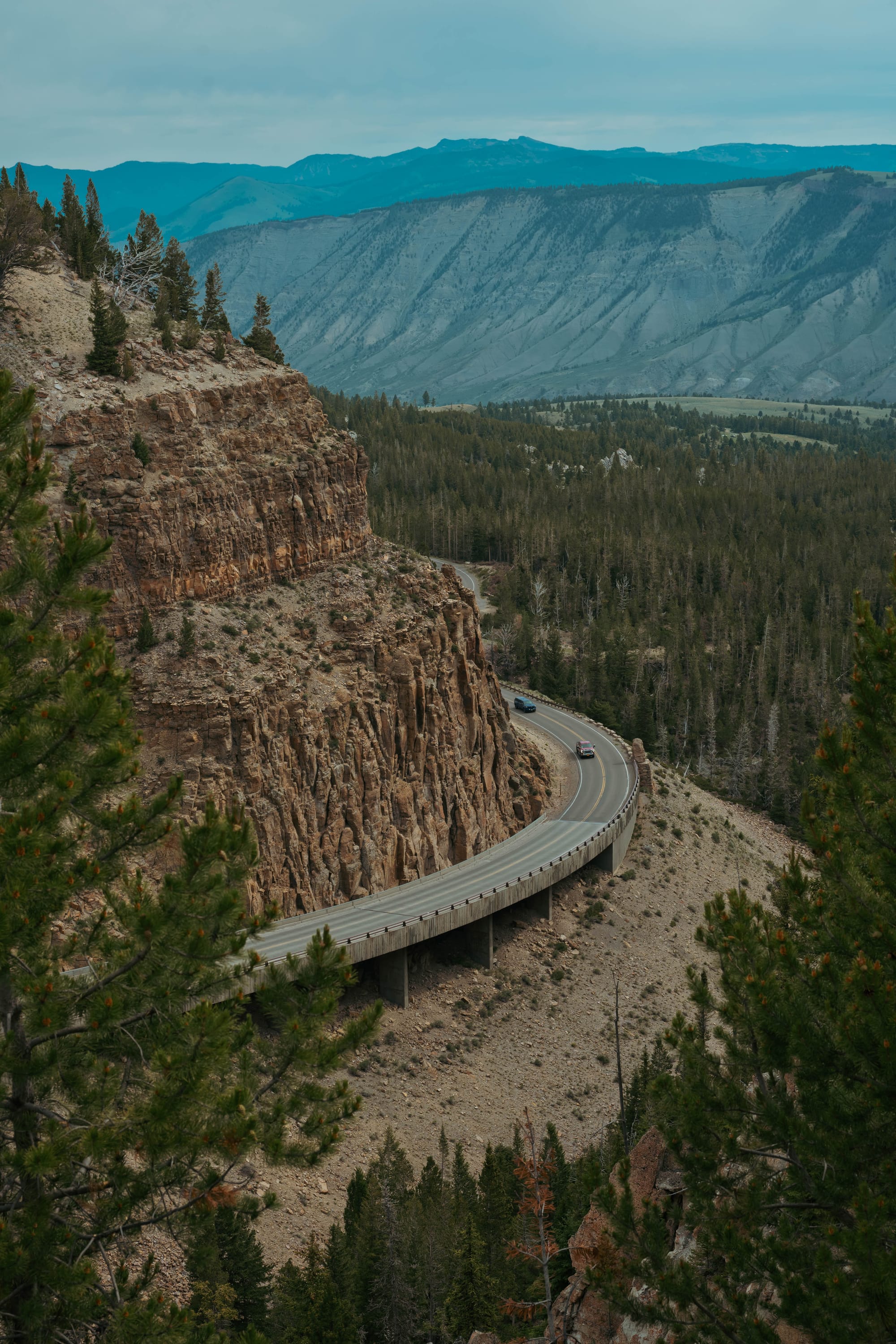
I never made the pre-sunrise drive into Lamar Valley to look for wolves. We tried around dusk and saw plenty of wildlife, but no wolves. Despite all the miles, we also never saw a moose inside Yellowstone.
There will always be another road, trail, animal, or corner of this park that the first visit missed.
That may be the strongest argument for returning.
⚡ TL;DR
- Park highlight: Learning Yellowstone by staying inside the park and exploring it one landscape at a time.
- Best for: Long stays, wildlife, hiking, photography, scenic drives, geology, and travelers willing to plan by region
- Skip if: You don't. It's Yellowstone
- Worth planning around?: Yes
Final Takeaways
This is a park that rewards time and repetition more than speed.
Yellowstone cannot be understood as a loop drive.
The lake, valley, canyon, mountains, thermal basins, forests, and northern range each operate at a different scale. Staying inside the park gave us more time with those places, but it did not make them close together. We still had to choose, adjust, backtrack, and accept that some plans would remain unfinished.
That was not a failure of planning.
It was the reality of Yellowstone.
We arrived with more time and research than most first-time visitors. We left with nearly 1,500 additional miles on the truck and a much longer list of reasons to return.
Yellowstone already moved to the top of our national park list.
And we've only begun to explore it.