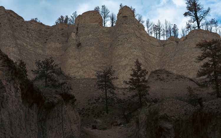
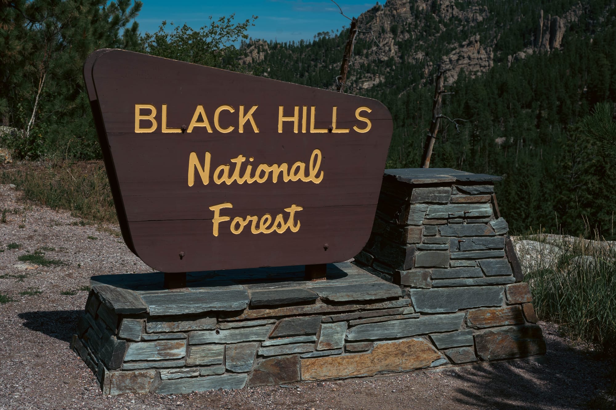
Black Hills National Forest
Driving north from Fort Robinson, the name finally made sense.
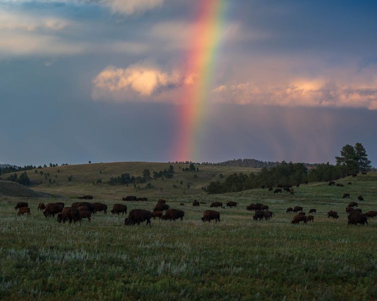
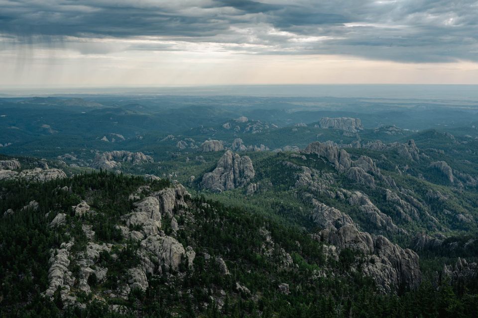
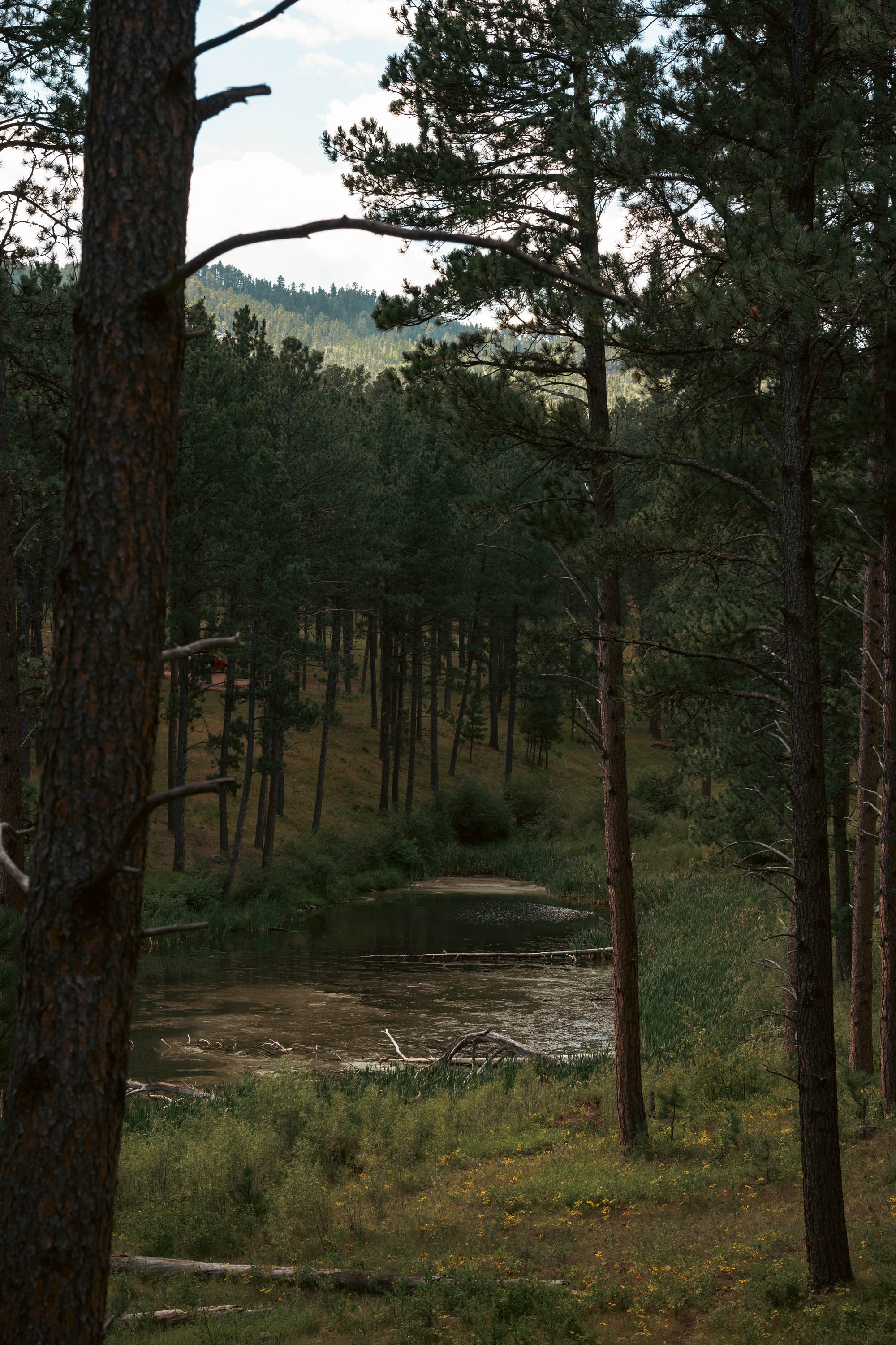
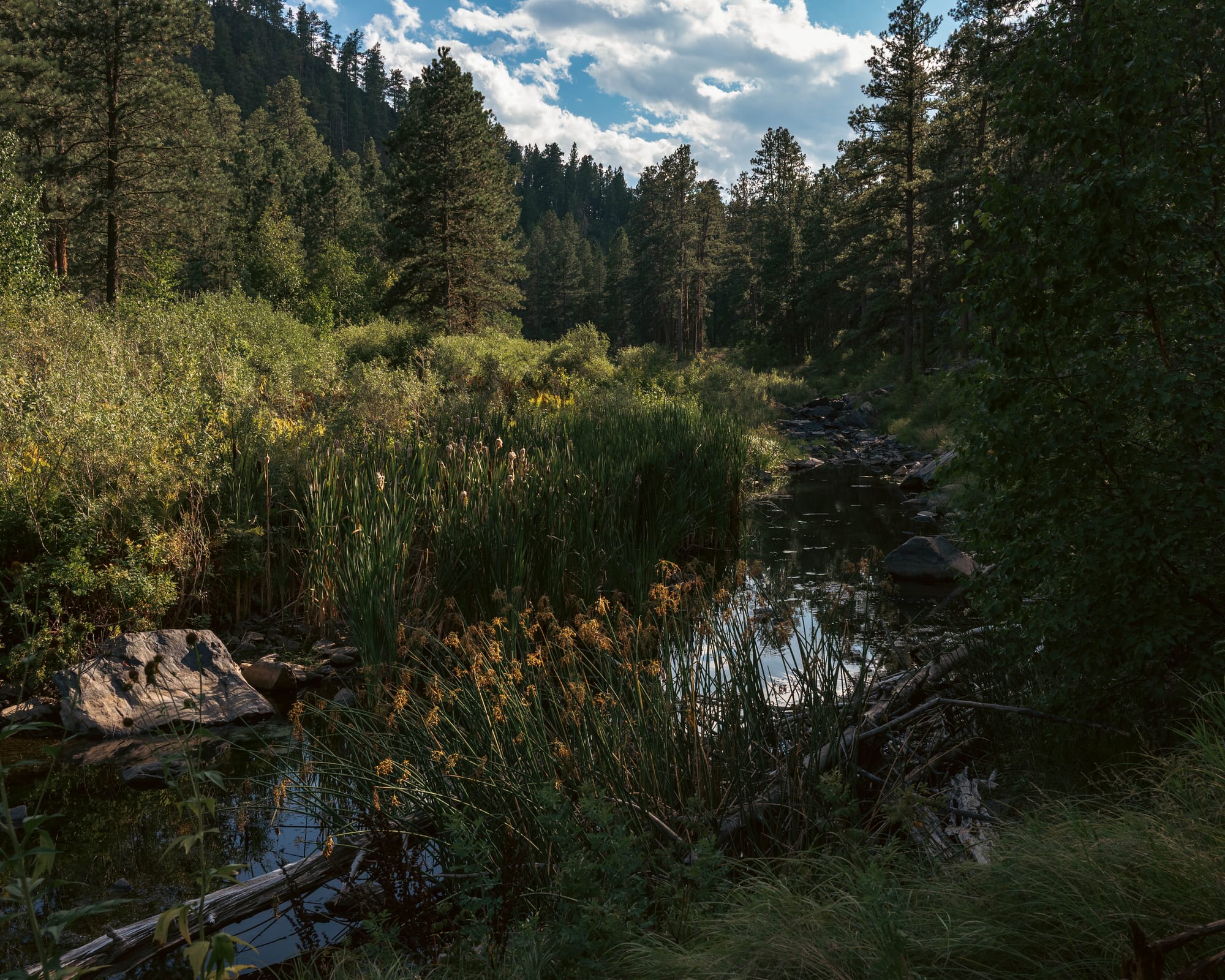
The Black Hills first appeared as a dark band on the horizon, rising out of open prairie. From a distance, the pine-covered hills really did look almost black.
Then we drove into them.
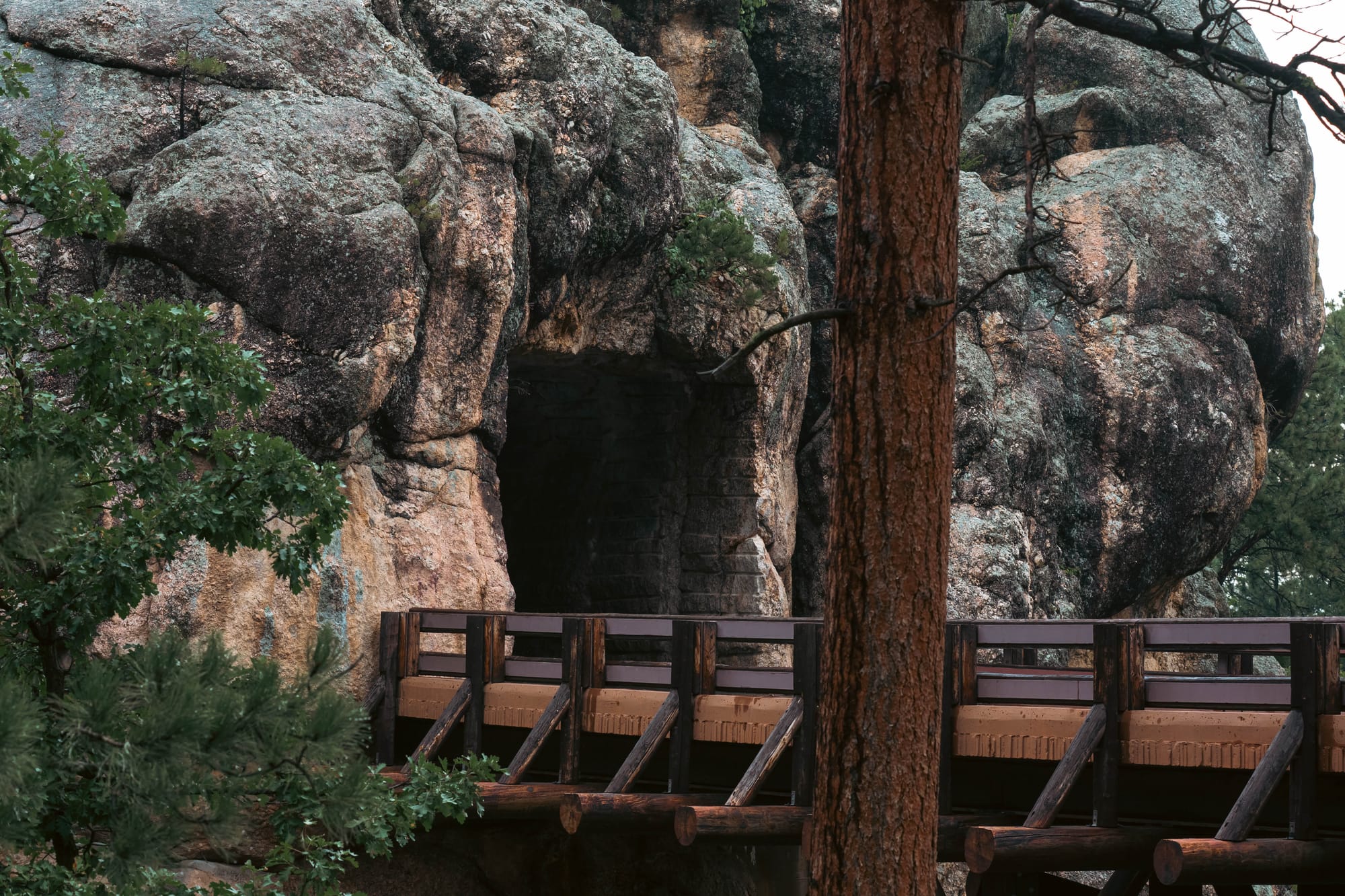
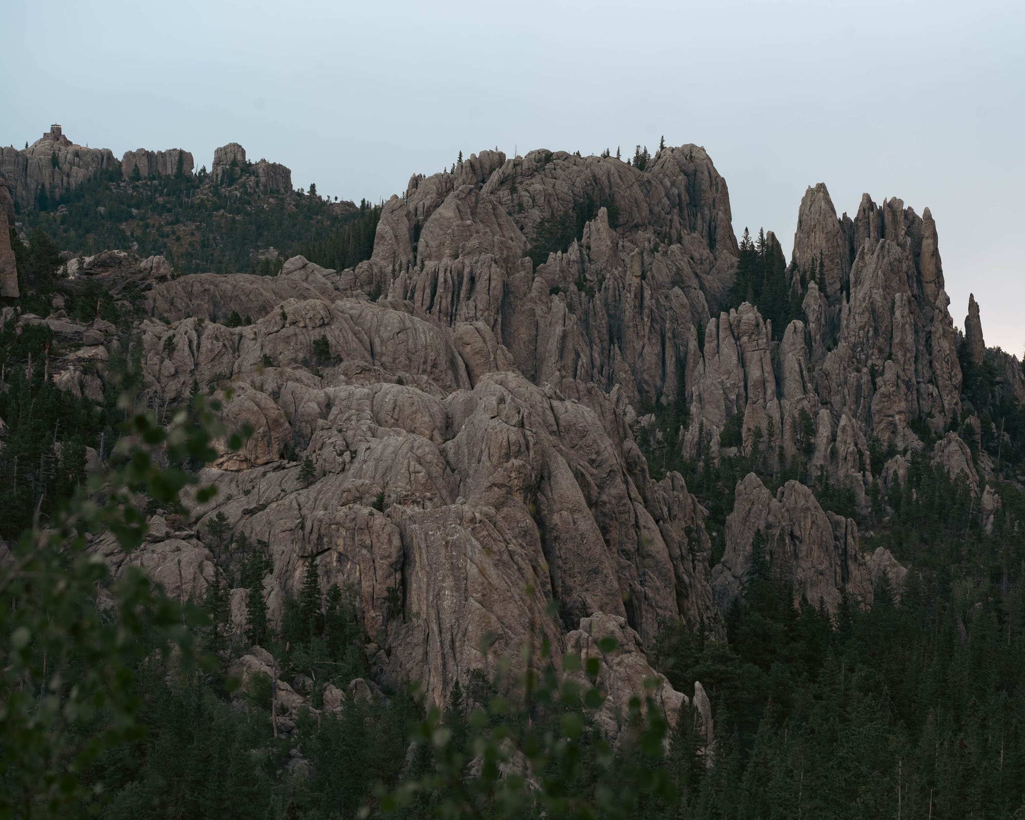
Granite pushed through the forest in towers and jagged ridges. Dark metamorphic rock appeared in road cuts. Roads twisted around the terrain, doubled back on themselves, and occasionally tunneled straight through it.
This was not just another forested mountain range.
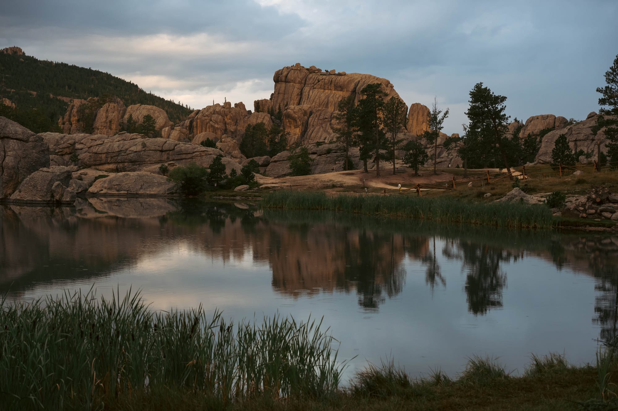
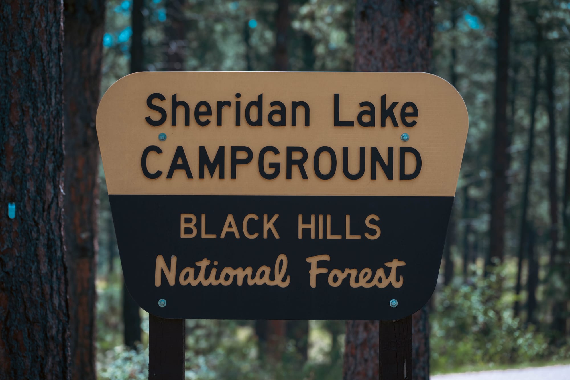
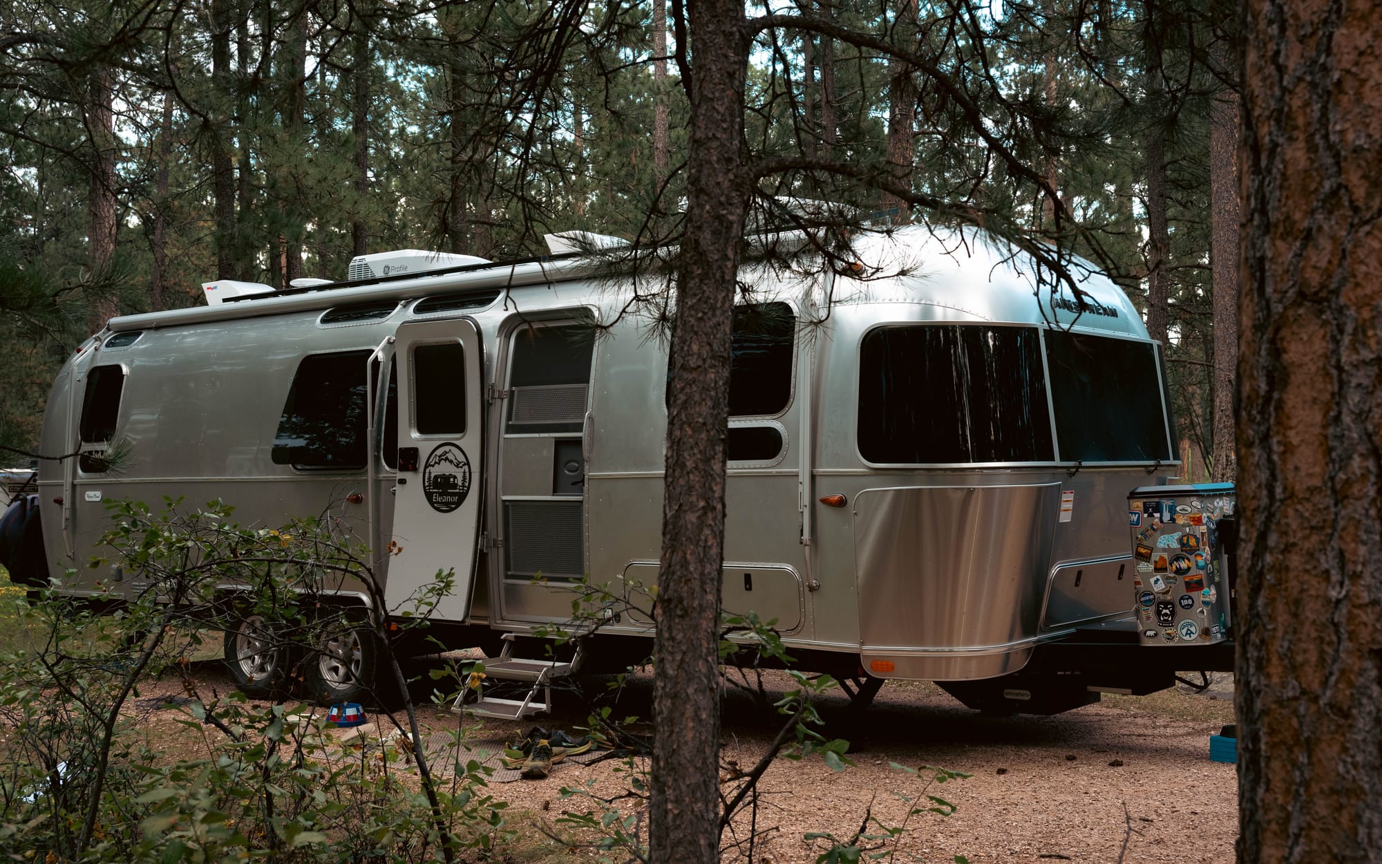
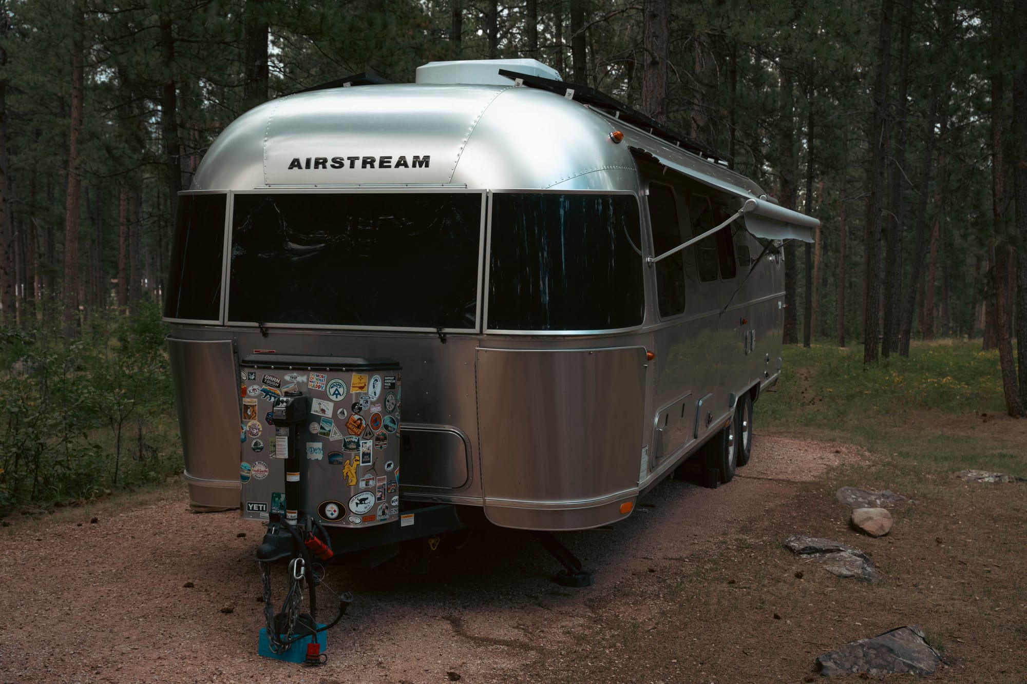
For six nights, Sheridan Lake South Campground gave us a quiet place in the middle of it.
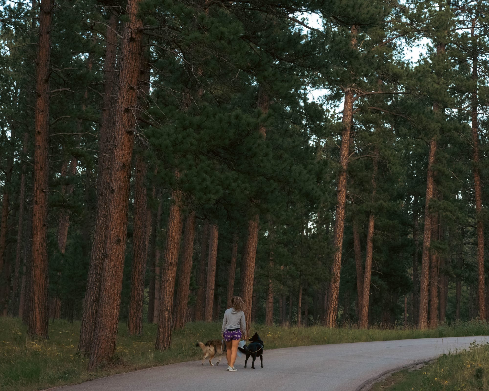
We were tucked into Smoky Loop on the wooded side of the campground rather than along the lake. Sites were well spaced, the loop stayed quiet, and the campground hovered around half full during our stay.
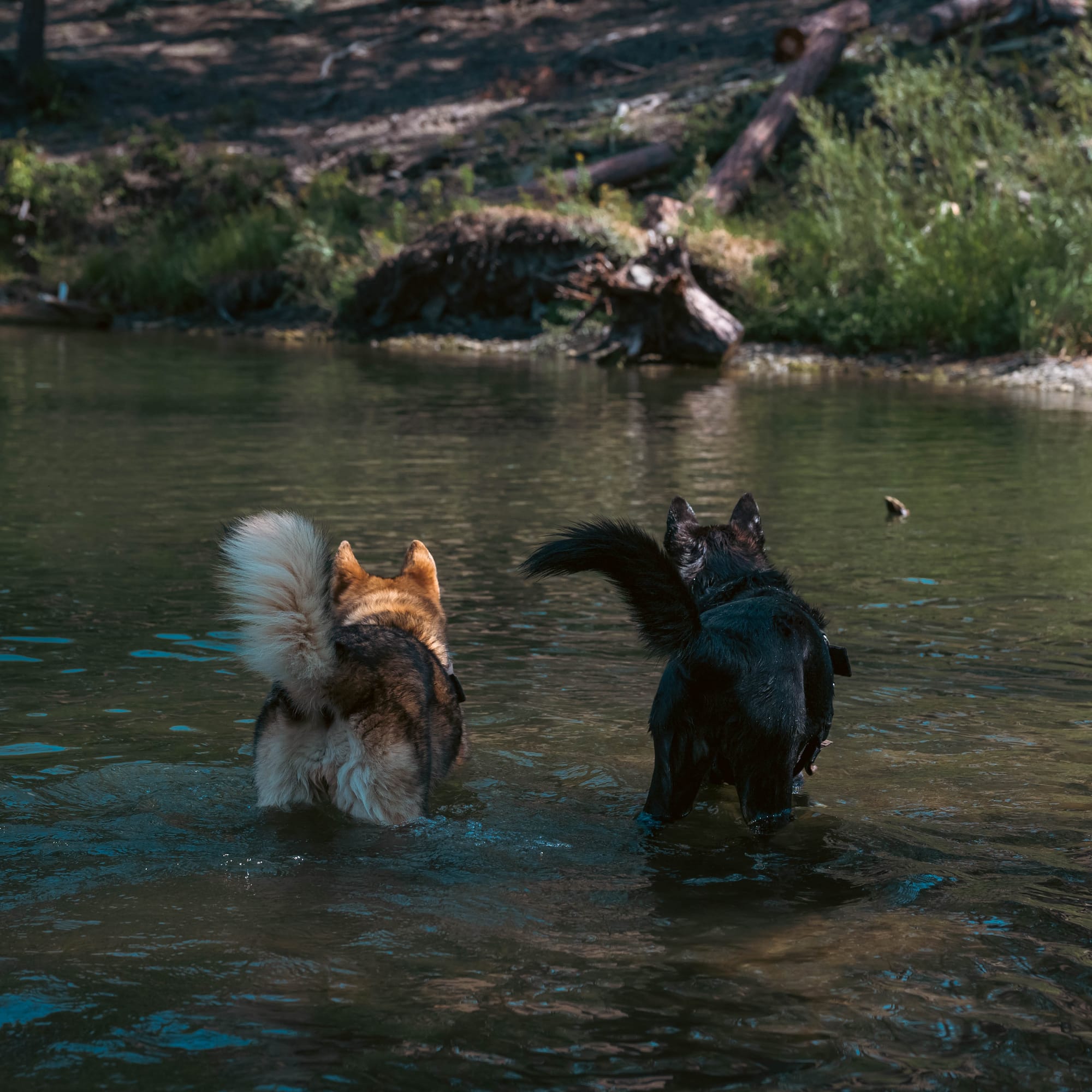
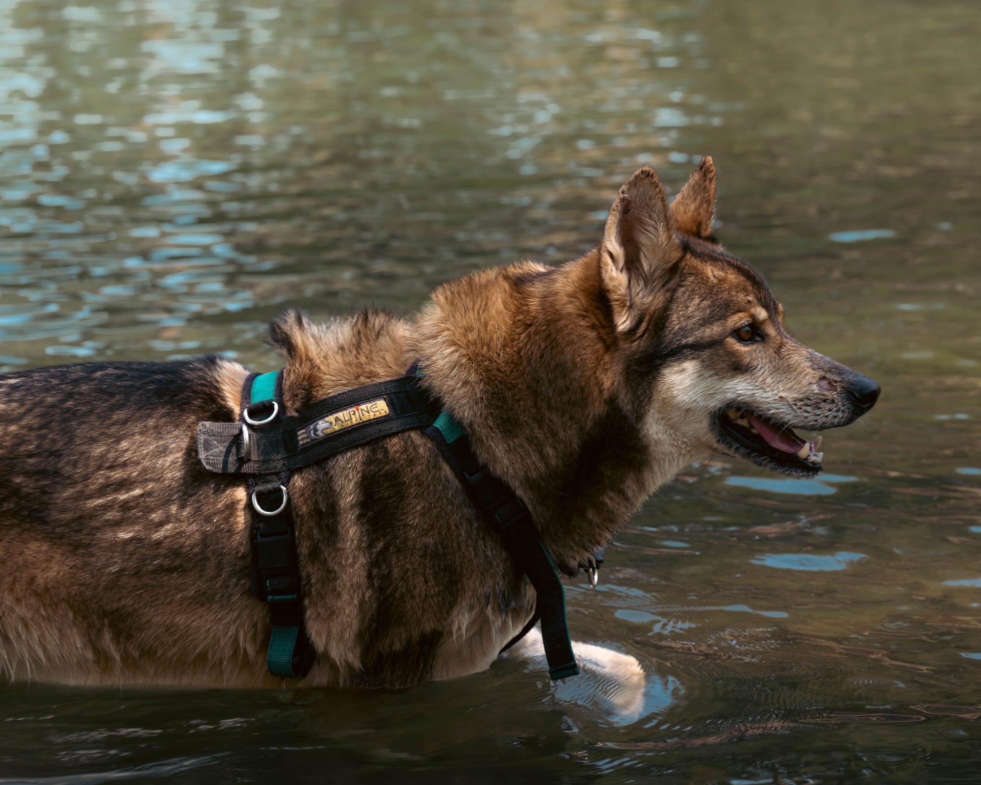
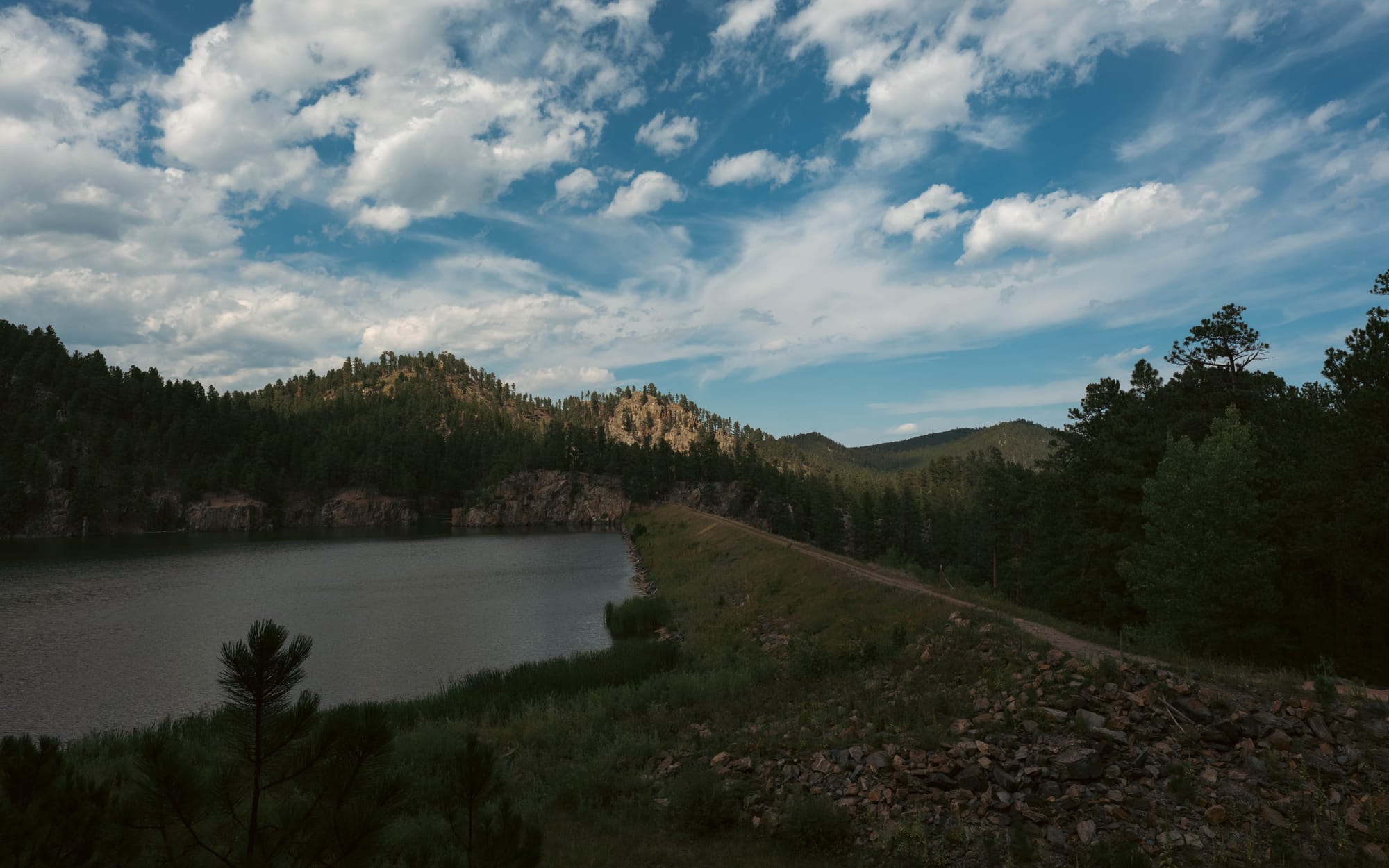
Sheridan Lake was only a short walk away, and the Flume and Centennial trails gave us miles of forest to explore without ever moving the truck.
It made an excellent base for everything we wanted to see in the rest of the Black Hills.
🧭 Lay of the Land
- Location: Sheridan Lake South Campground · South Dakota · 43.9669, -103.4779 · Google Maps
- Official site: Black Hills National Forest
- Landscape: Ponderosa pine forest · Granite high country
- Vibe: Quiet forest base camp
- Our stay & conditions: August 2026 · 5 nights · 75–85°F days / 49–55°F nights · occasional rain and afternoon clouds
🏕️ Camp Setup
- Site types: Back-in · Non-electric · Tent
- Arrival & setup: Easy
- Hookups: ⟂
- Connectivity: 📶 AT&T ❌ | 📶 Verizon ❌ | 📶 T-Mobile ❌ | 📡 Starlink ⚠️ | 📶 Park Wi-Fi ⟂
- Facilities: Restrooms · Trash
Legend:
🚽 = sewer at site · 🧻 = dump station
🟢 = solid for work · ⚠️ = usable with limits · ❌ = unusable
An Island in the Plains
The more we explored, the more obvious it became that the Black Hills are geologically different from everything around them.
They rise more than 3,000 feet above parts of the surrounding Great Plains, forming an isolated mountain system roughly 110 miles long. Ponderosa pine covers much of the higher country, creating the dark appearance visible from miles away.
Underneath those trees is an even stranger story.

At the center are rocks approaching two billion years old. Ancient metamorphic rock was later intruded by granite and pegmatite, then pushed upward with the rest of the region roughly 60 million years ago.
Over time, erosion stripped away younger layers and exposed the harder granite, schist, and quartzite now visible throughout the high country.
That is the rock we kept finding ourselves inside.
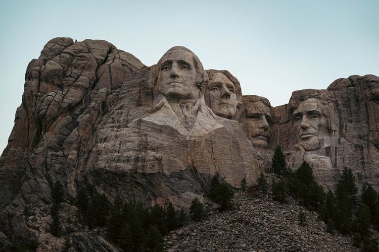
The granite needles around Custer State Park. The tunnels cut through the hills. Mount Rushmore. Cathedral Spires. Black Elk Peak.
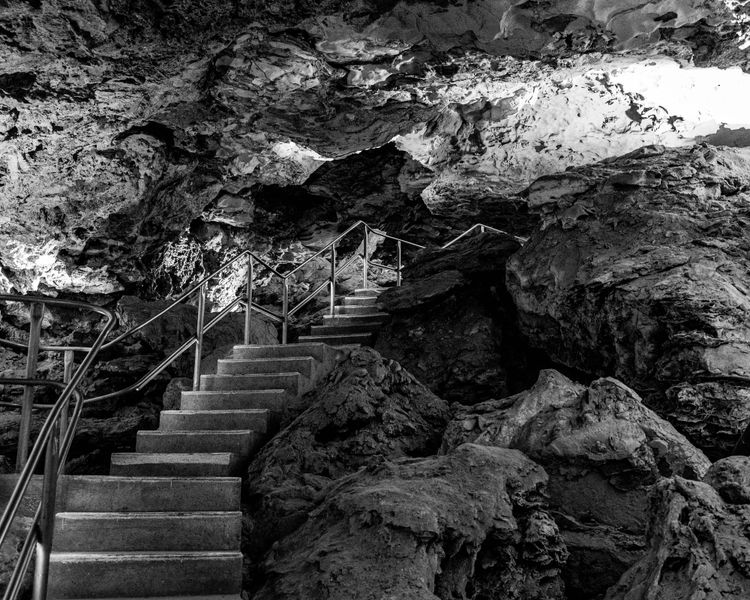
Farther from the center, younger layers of limestone wrap around the hills. Those outer limestone belts are where water carved systems like Wind Cave and Jewel Cave.
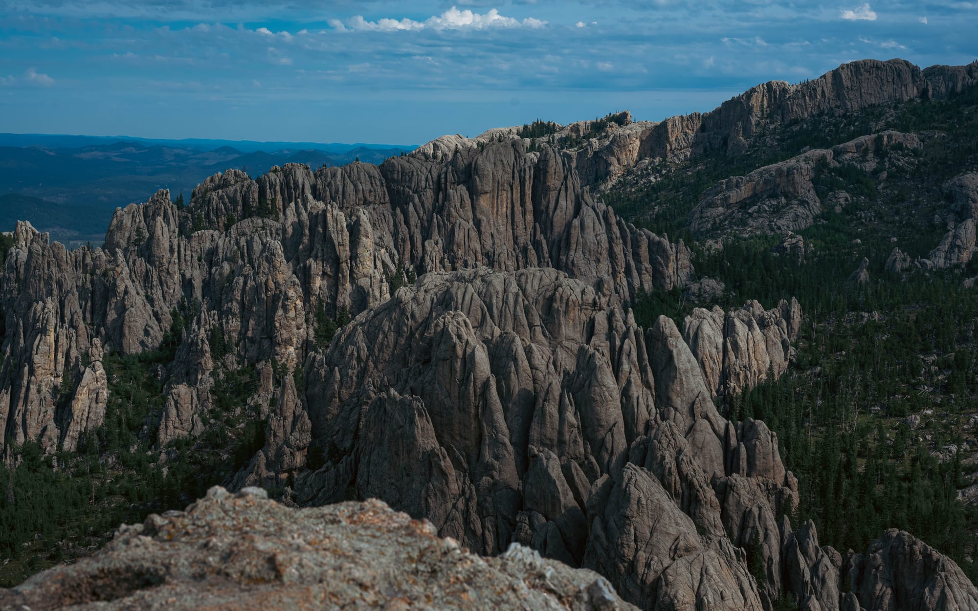
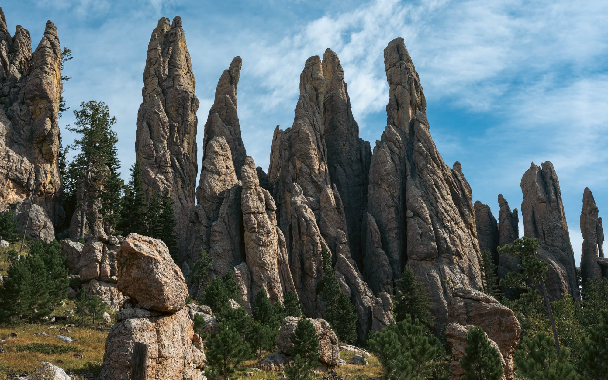
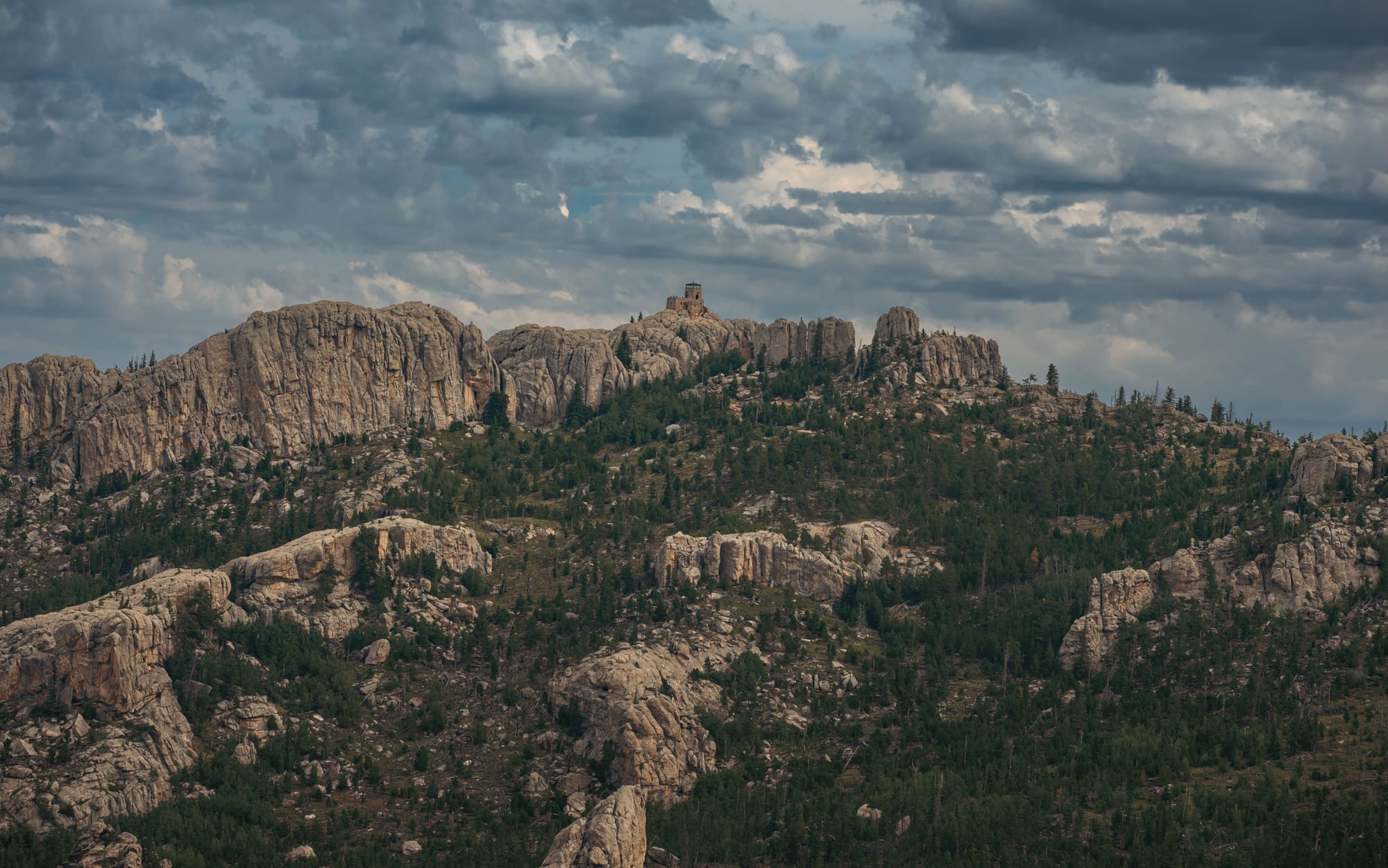
Seen that way, the Black Hills stop looking like a random collection of caves, granite spires, peaks, and forests.
They are different parts of the same uplift.
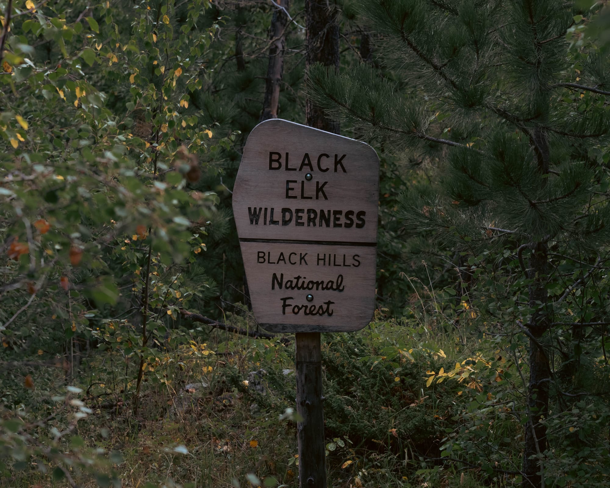
Black Hills National Forest covers more than 1.2 million acres across western South Dakota and northeastern Wyoming, protecting much of the landscape between the region's better-known destinations.
Roads, reservoirs, campgrounds, timber management, trails, towns, and recreation all overlap here.
That mix is part of what makes the region work.
You can spend the morning climbing granite ridges, come back through a tourist town for lunch, then disappear into quiet forest again a few miles later.
Into the Granite Core
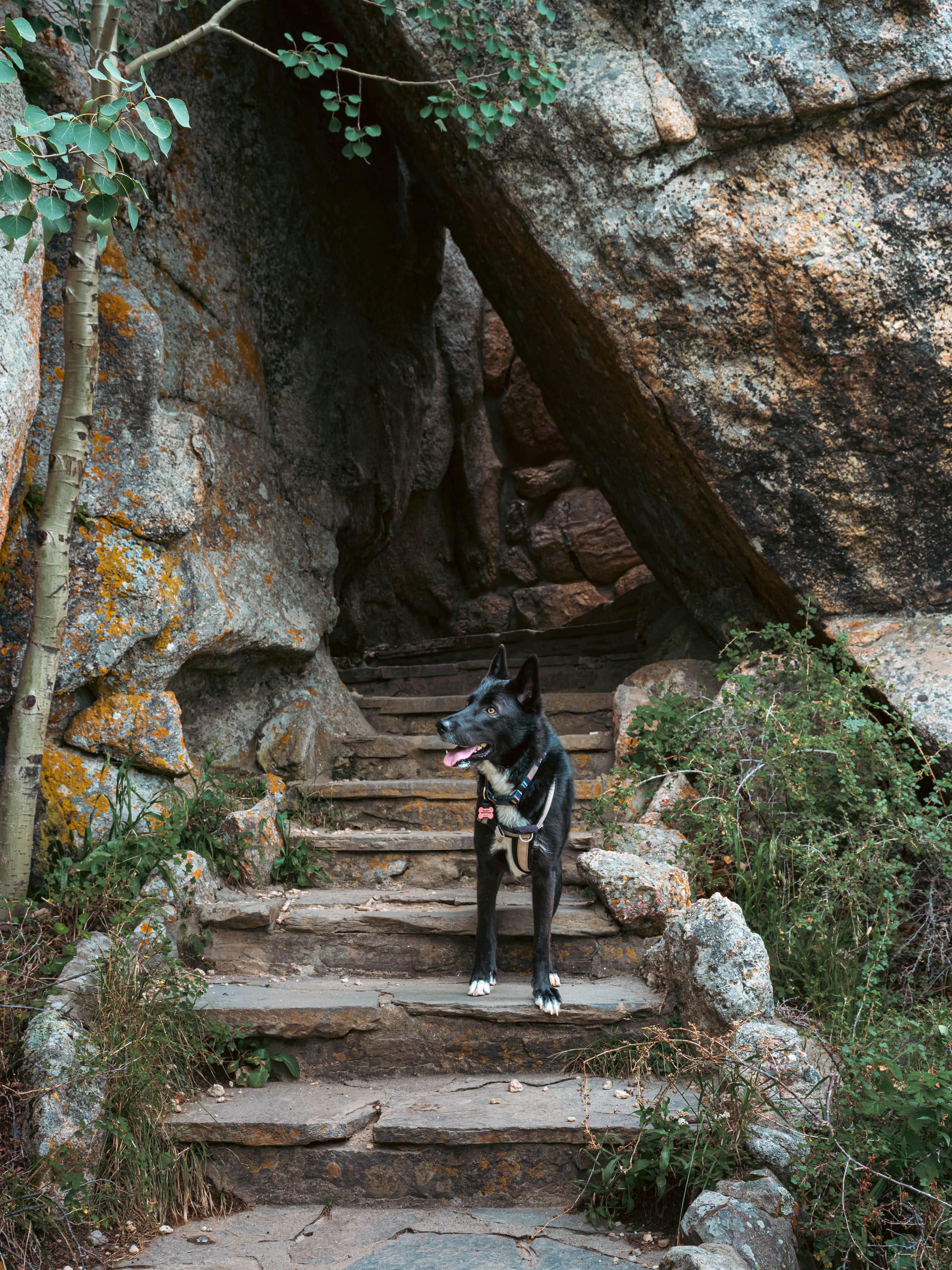
One morning, Ktaadn and I left camp around 6 a.m. and drove south toward the Cathedral Spires area.
There were only four or five cars at the trailhead when we arrived.
We linked Trail 9 and Trail 4 with side trails into a loop that eventually took us through Cathedral Spires, up Little Devil's Tower, and onto Black Elk Peak.
Just under nine miles in total.
Compared with the hiking we had been doing in Colorado, the trail itself was not especially difficult. Much of it followed wide gravel paths where we could move quickly, which made the day feel almost relaxed.
I could cover ground, stop whenever something caught my eye, take pictures, then keep moving.
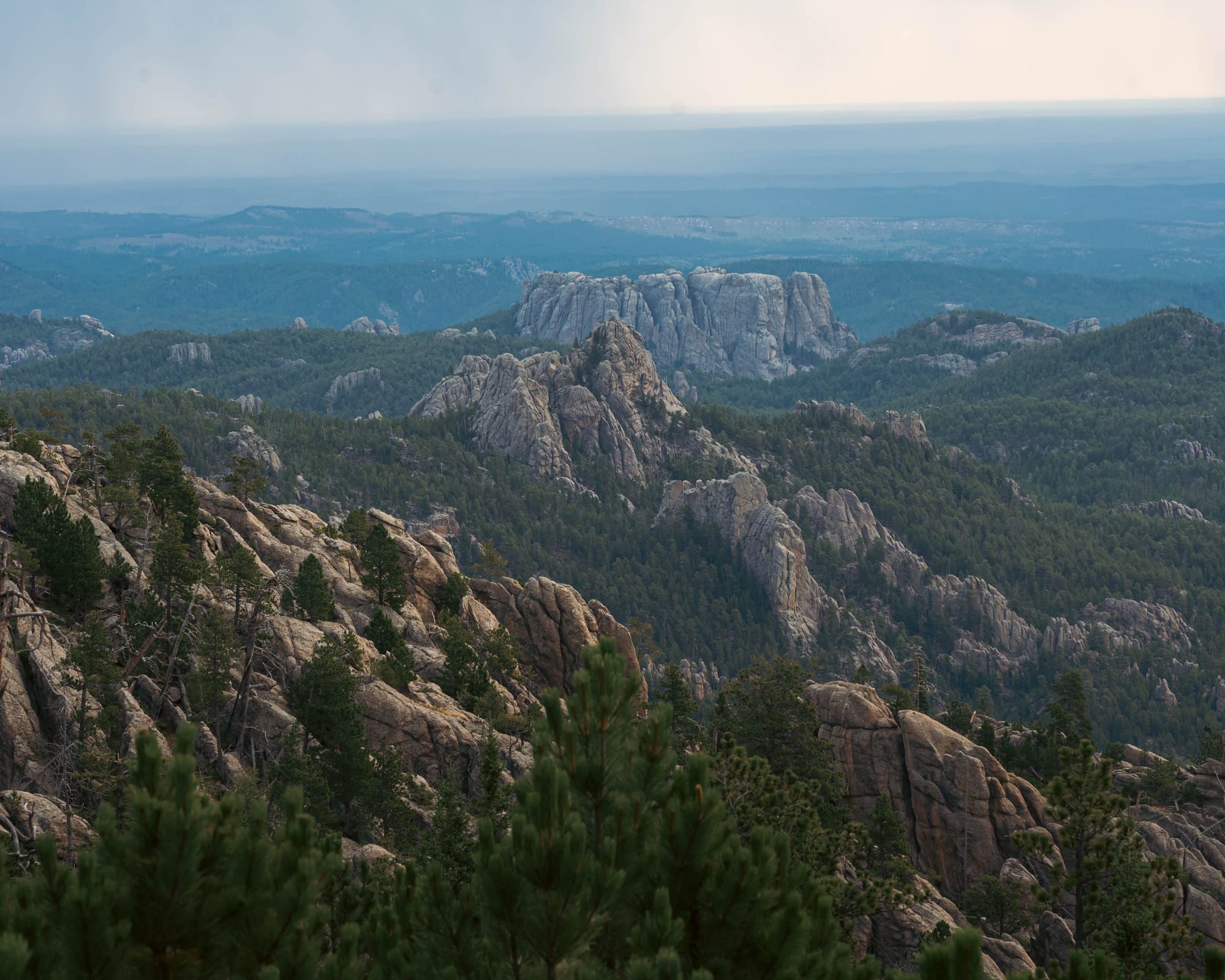
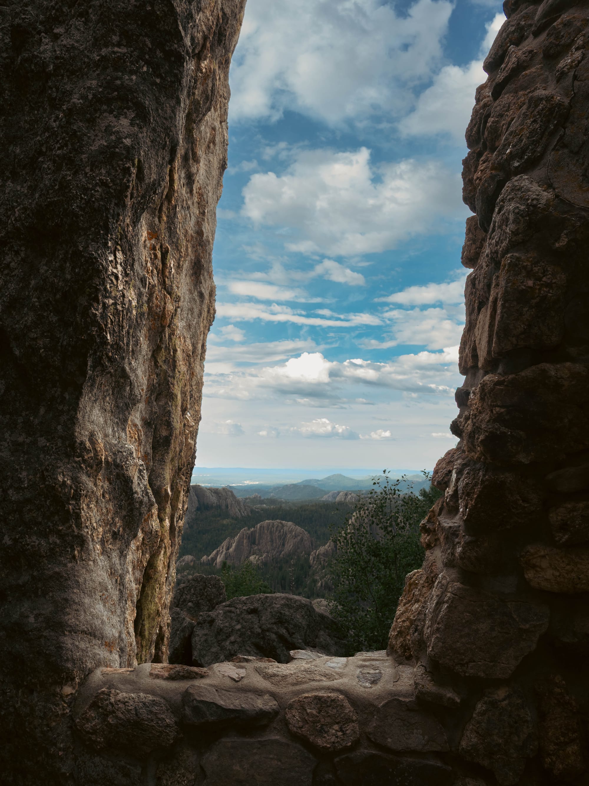
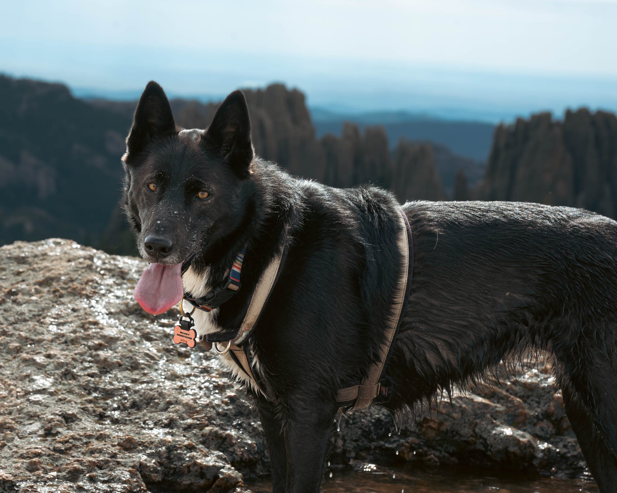
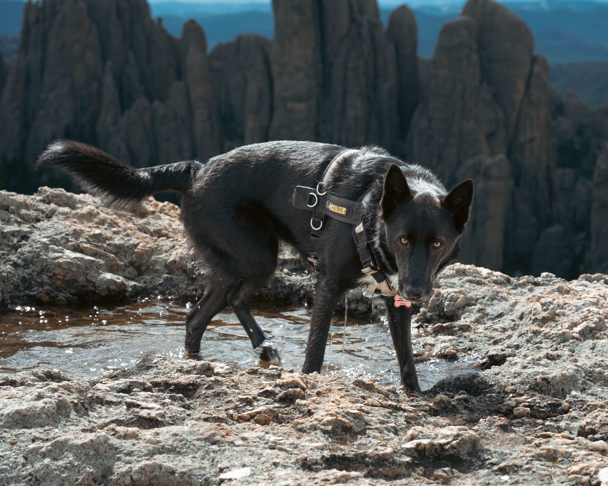
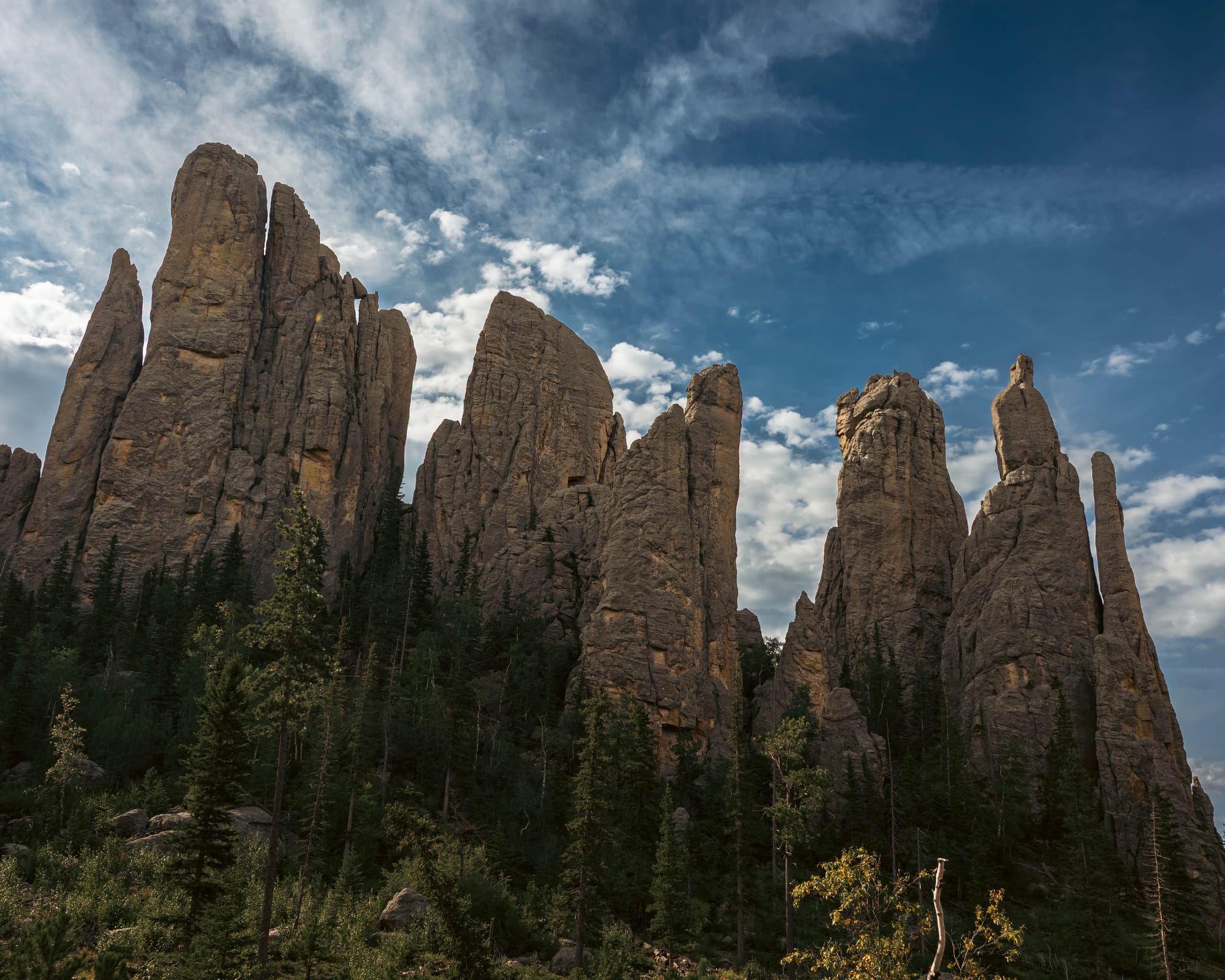
Around Cathedral Spires, narrow granite towers rose vertically out of the forest. Little Devil's Tower brought us directly onto the exposed rock, with views opening across ridges in every direction.
Then we climbed toward Black Elk Peak.
We did not see another person until we reached the summit.
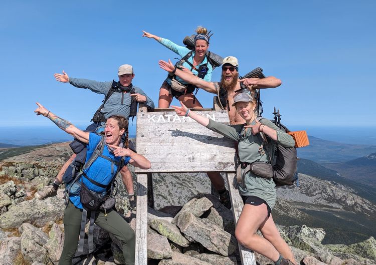
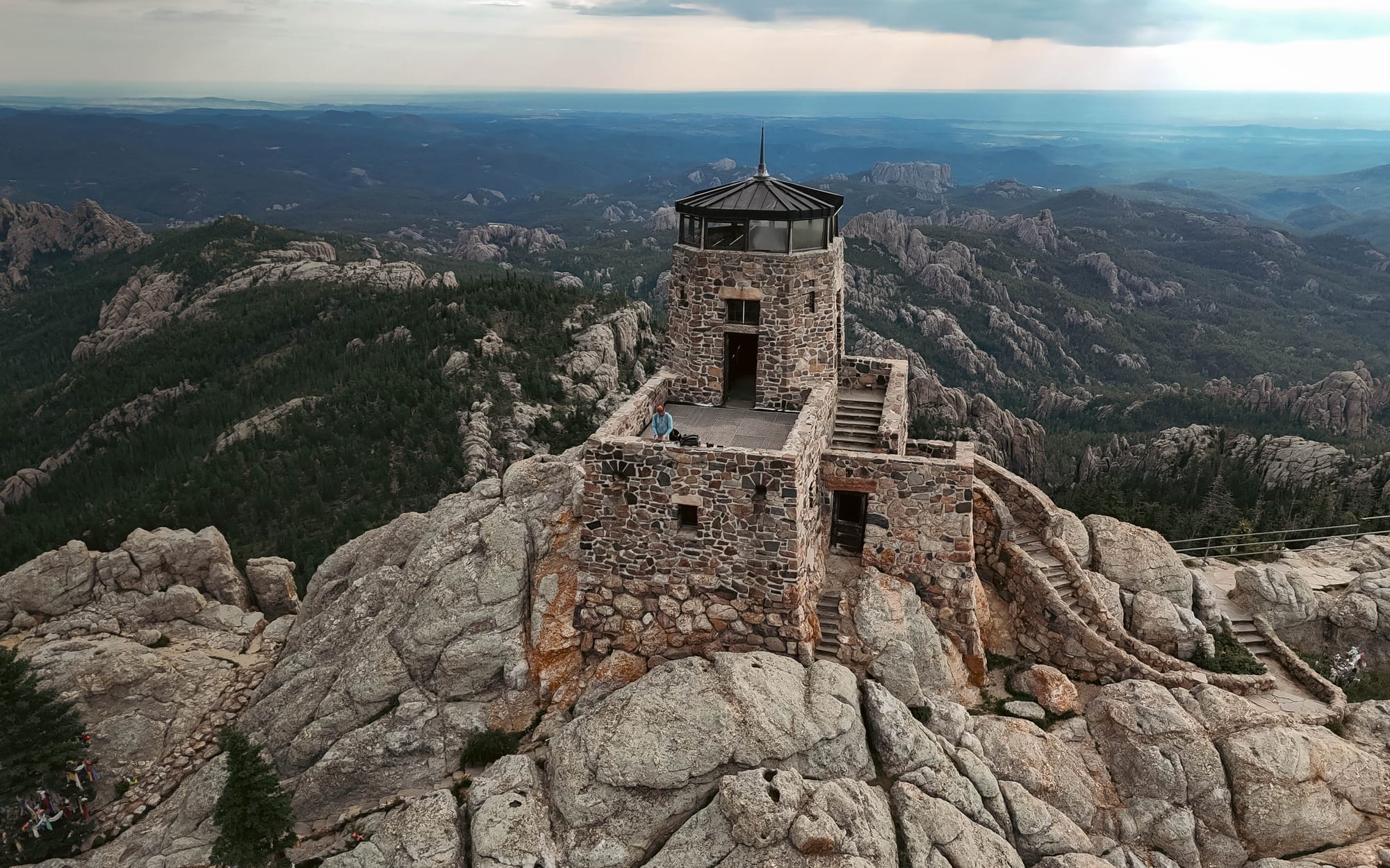
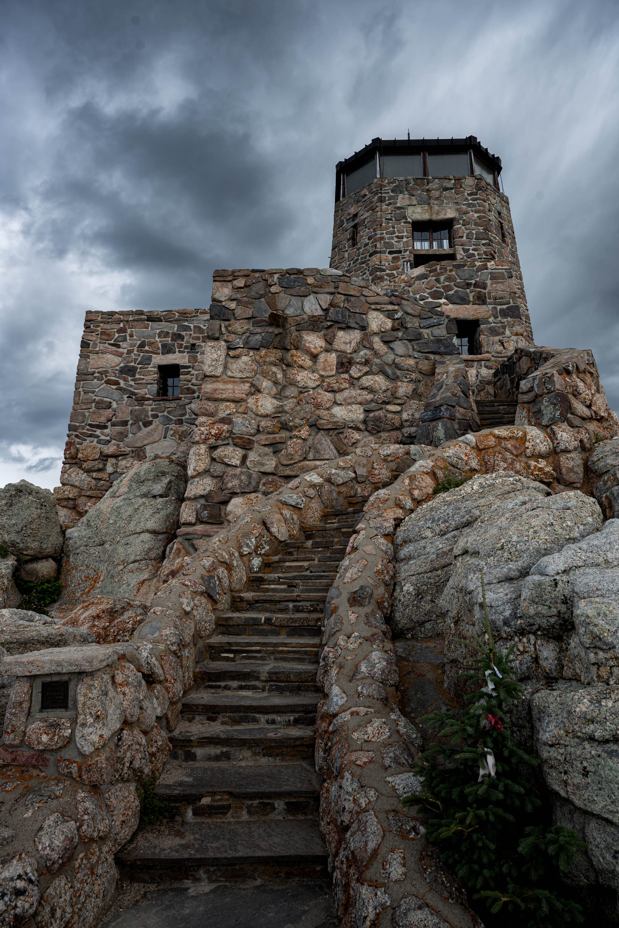
At 7,242 feet, Black Elk Peak is the highest point in South Dakota and the highest summit between the Rocky Mountains and the Pyrenees in France, one of those geographical facts that sounds made up until you look at a map.
The old stone fire lookout sits directly on top.
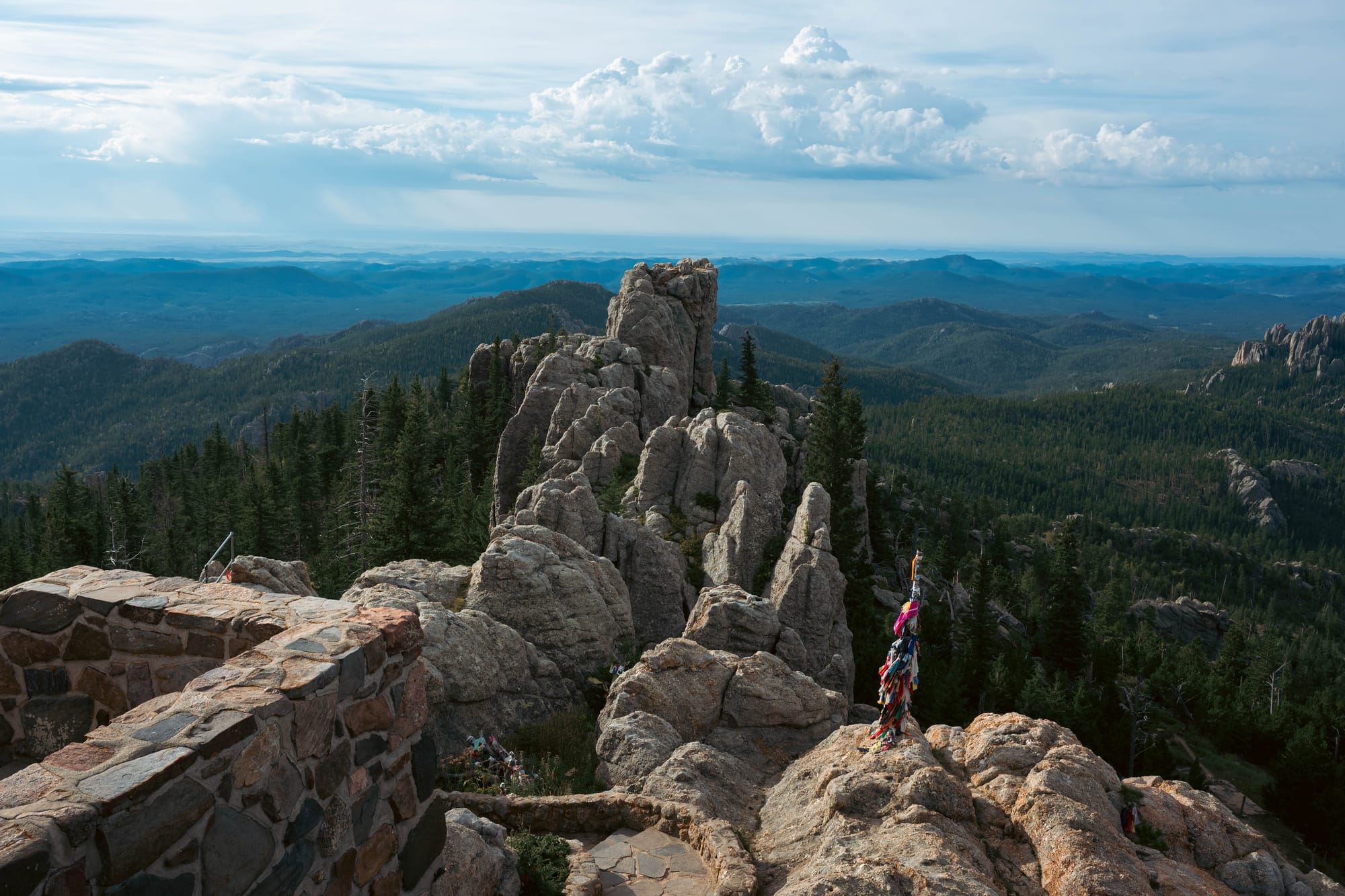
From there, the view showed the Black Hills at full scale.
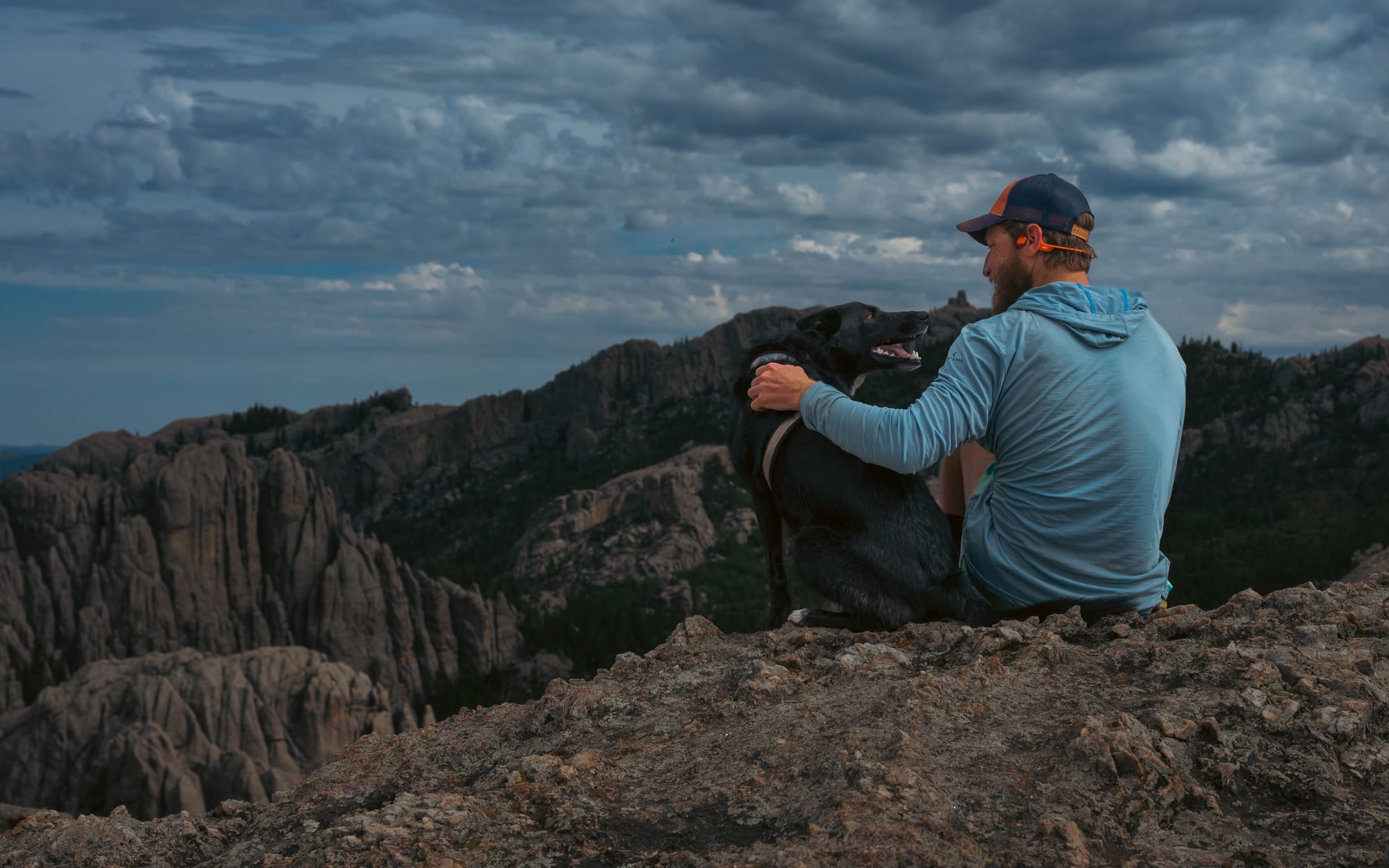
Forest covered everything below, but granite broke through it everywhere. Ridges tilted at odd angles. Spires rose from the trees. Rock formations that looked isolated from the road suddenly fit into a much larger pattern.
Along parts of the summit ridge, prayer cloths and offerings had been left in several places, reminders that the mountain has significance beyond its elevation.
The peak was known for decades as Harney Peak before being officially renamed Black Elk Peak in 2016, honoring Oglala Lakota holy man Black Elk and acknowledging the mountain's long cultural importance.
The history mattered.
But standing there, the geology was hard to ignore.
🚴 On the Ground
- Activities available: ● 🥾 Hiking | ● 🚴 Biking | ● 🐕 Dogs | ● 🚣 Paddling | ● 🎣 Fishing | ● 🐦 Wildlife / Birding | ● 🏊 Swimming | ● 📸 Photography | ● 🏕️ Camp-centric | ● 🧗 Climbing
- Trail mileage available: 🥾 ~450 mi | 🚴 52 mi | 🚣 ⟂
- Crowd level: Quiet
Legend: ● = available · ○ = not available
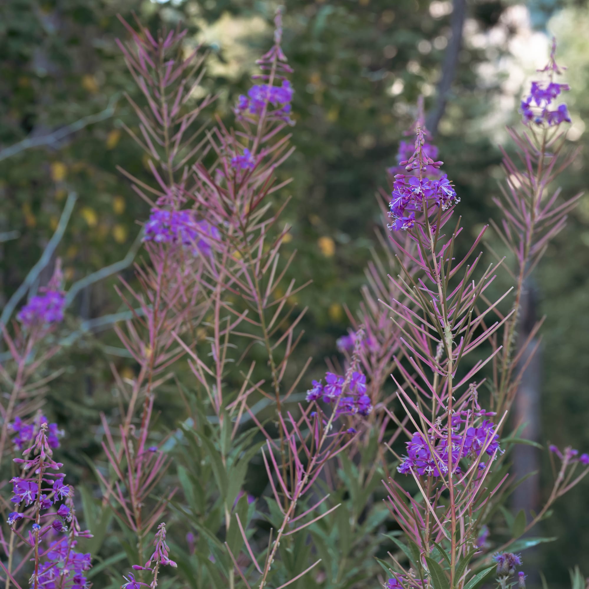
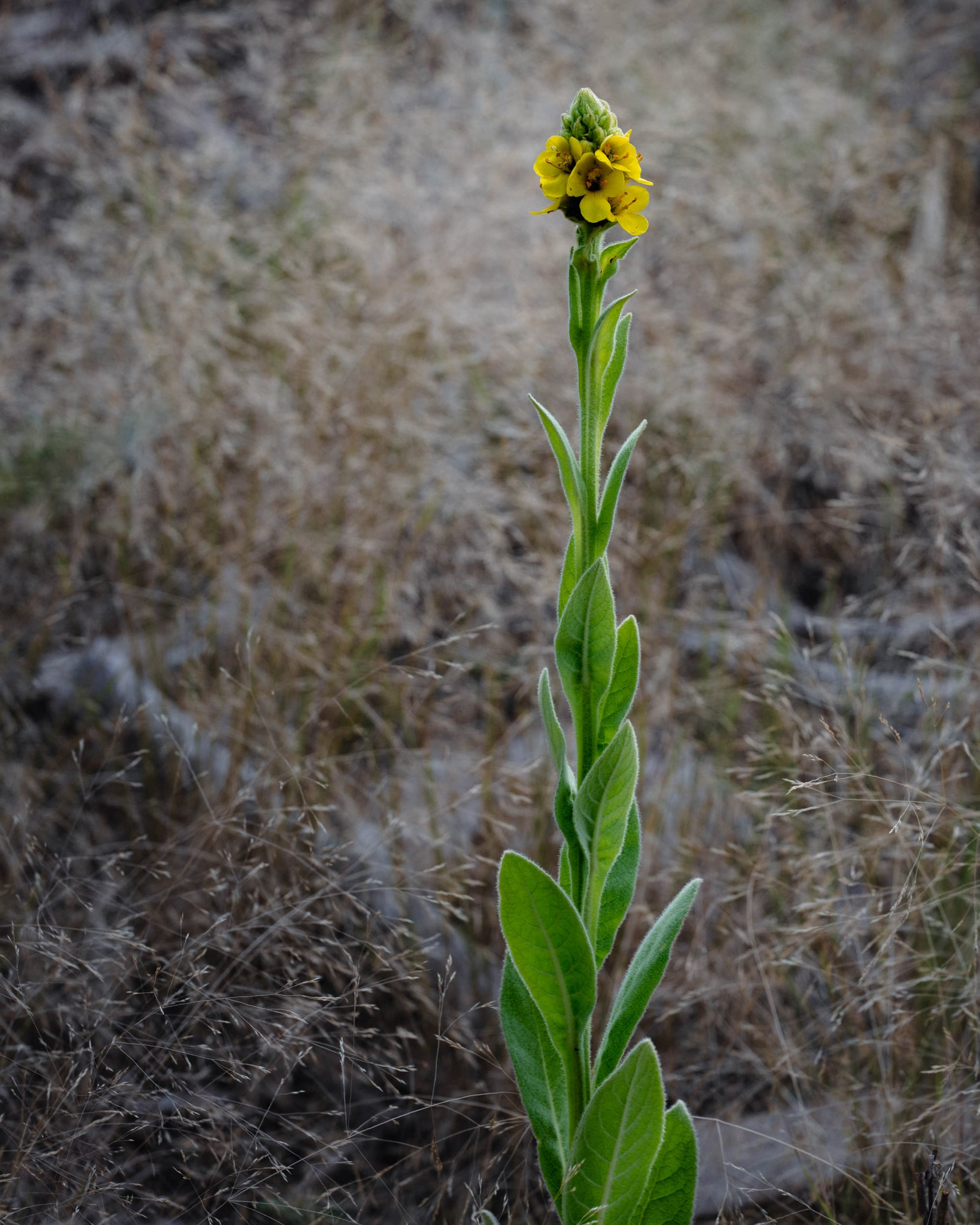
Trails Through the Forest
The trails around Sheridan Lake gave us a quieter version of the same landscape.
We hiked and ran sections of the Flume Trail and Centennial Trail several times during our stay.
The Centennial Trail kept showing up almost by accident.
I had already walked a section of it at Wind Cave without thinking much about the name. Then we encountered it again around Sheridan Lake.
Trail #89 runs roughly 111 miles through the Black Hills, connecting Bear Butte in the north with Wind Cave in the south.
What had felt like unrelated hikes were pieces of the same route.
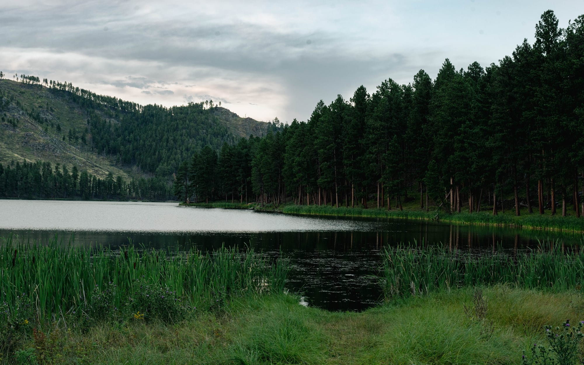
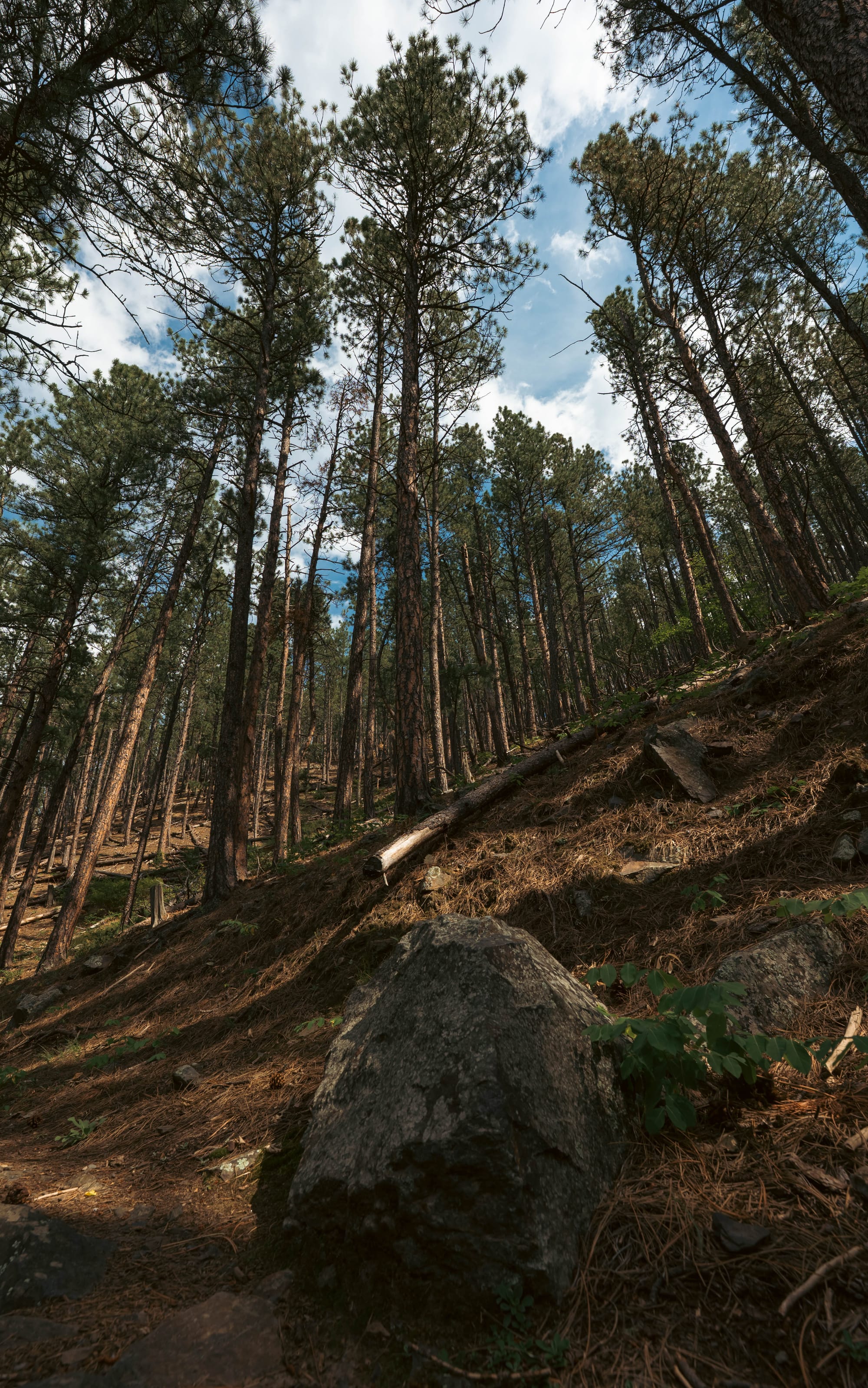
The Flume Trail had a different character. Our longer outing followed roughly seven miles of it through the forest near Sheridan Lake.
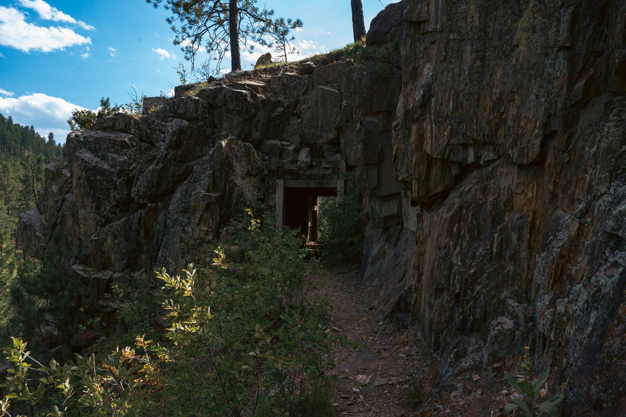
The modern trail follows portions of the old Rockerville Flume, a nineteenth-century water system built to carry water toward placer-mining operations near Rockerville.
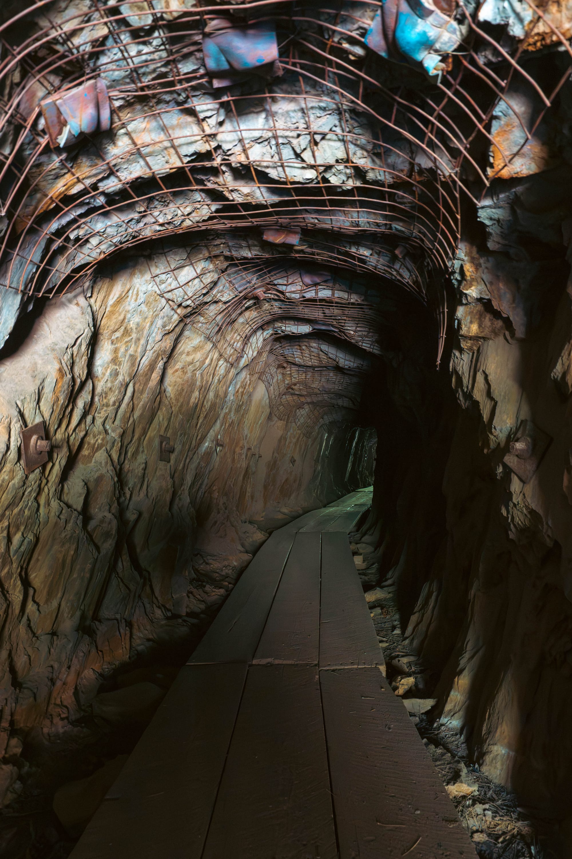
Parts of the old route still pass through tunnels cut directly into the hills.
That made the trail unexpectedly fun.
One minute we were moving through ponderosa forest, and the next we were walking through a narrow tunnel carved more than a century ago for mining infrastructure.
It was not dramatic in the way Black Elk Peak was.
It was just another layer of the Black Hills hiding in plain sight.
⚡ TL;DR
- Park highlight: Quiet forest camping near Sheridan Lake with direct access to trails and water
- Best for: Hiking, photography, dry camping, and using the forest as a base for exploring the Black Hills
- Skip if: You want your campground to provide the amenities and entertainment rather than simply put you in the middle of the landscape
- Worth planning around?: Yes
Final Thoughts
We came into the Black Hills knowing they were supposed to be beautiful.
That did not prepare us for what they actually looked like.
From the plains, they appear as a dark island of forest.
Inside, granite spires rise through the trees, caves disappear beneath limestone ridges, and roads, towns, trails, and old mining routes have been worked directly into the terrain.
The tourist side is impossible to miss.
There are kitschy downtowns, souvenir shops, roadside attractions, breweries, restaurants, and entire towns built around the fact that millions of people come here every year.
But it never took much effort to get back into quiet forest.
That balance became one of the things we liked most.
Sheridan Lake gave us the access to explore nearly everything we wanted while still feeling removed from the busier parts of the region.
The famous places may put the dots on a Black Hills map.
The National Forest is what connected them for us.