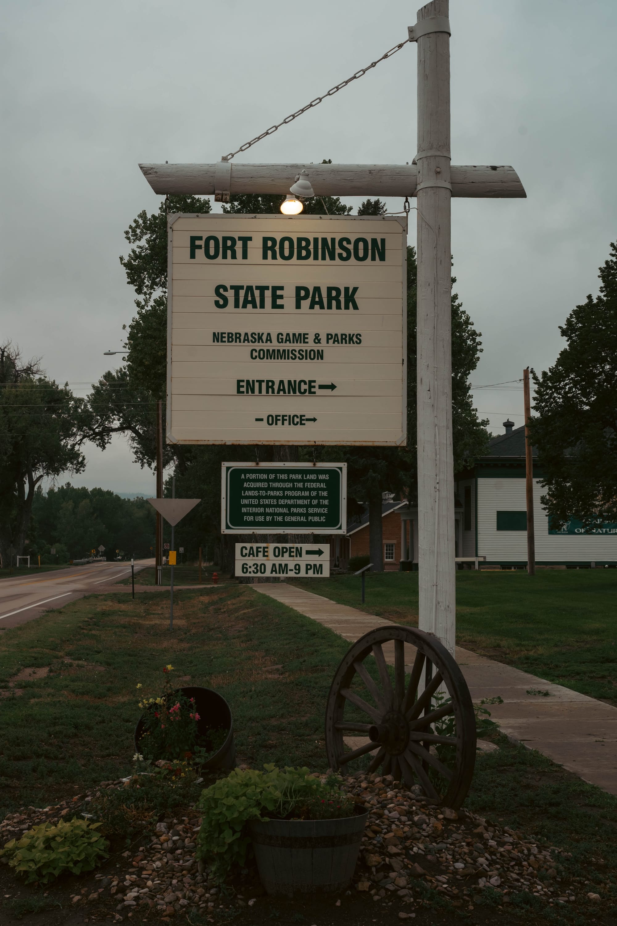
Fort Robinson State Park
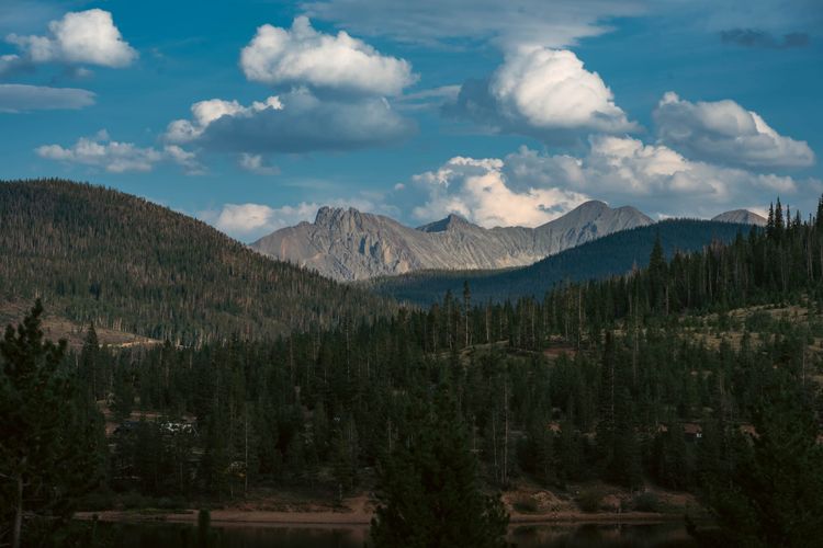
We left State Forest State Park and cut north through Wyoming, getting one last drive through Medicine Bow-Routt National Forest before the mountains finally gave way to the plains of Nebraska.
Fort Robinson felt like an abrupt change.
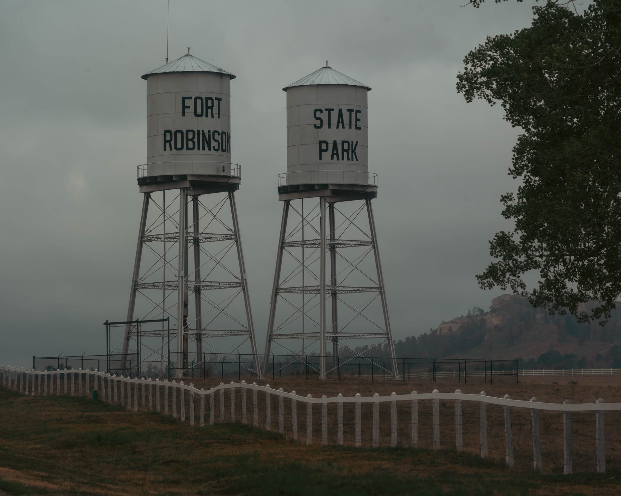
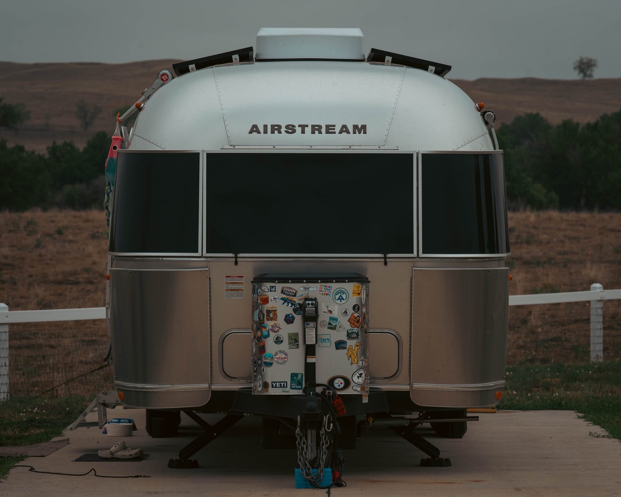
We backed Eleanor into a paved site at Red Cloud Campground, our first paved campsite since early June. After months of gravel and more primitive camps, full hookups and pavement felt almost strange.
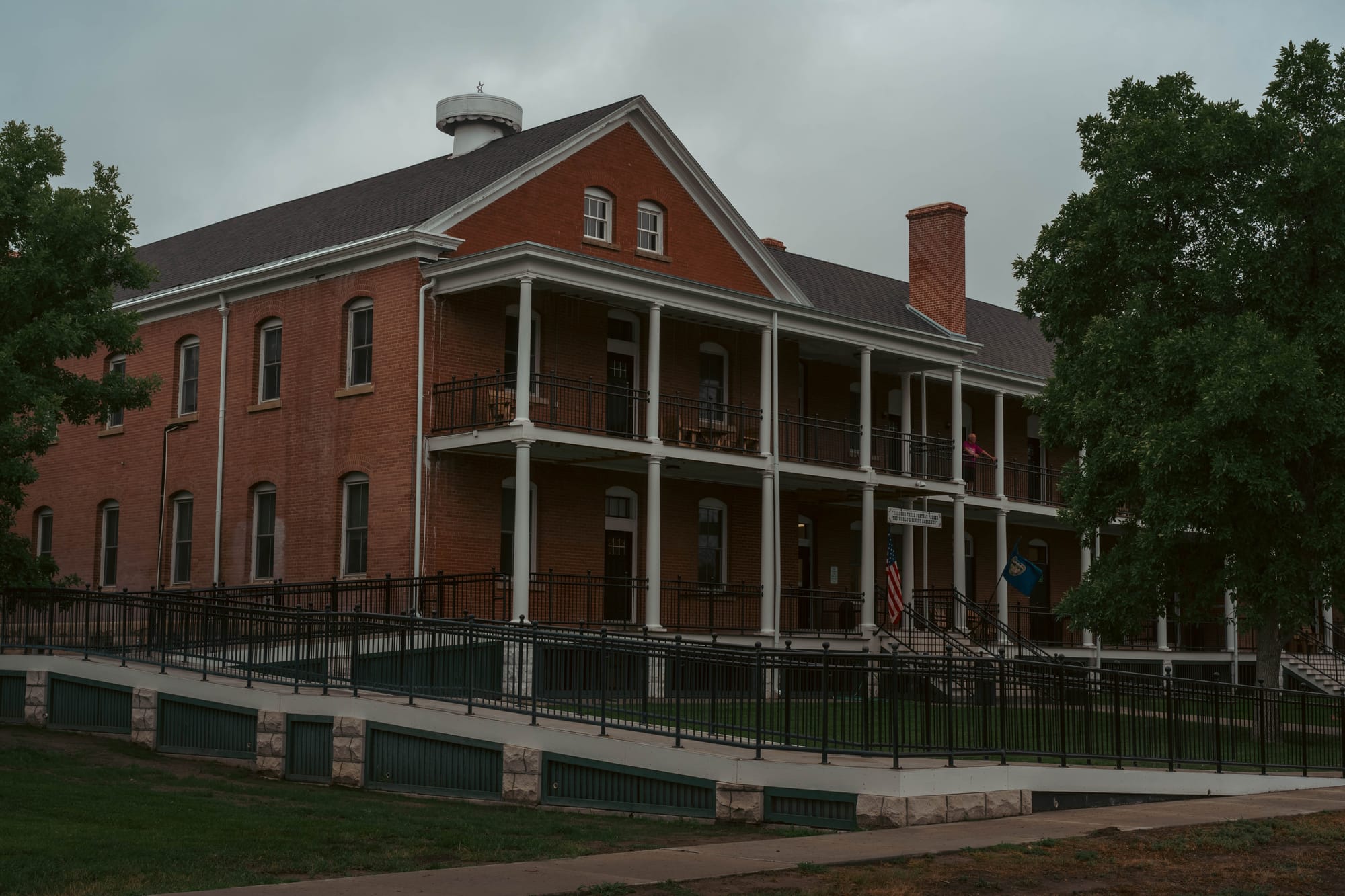
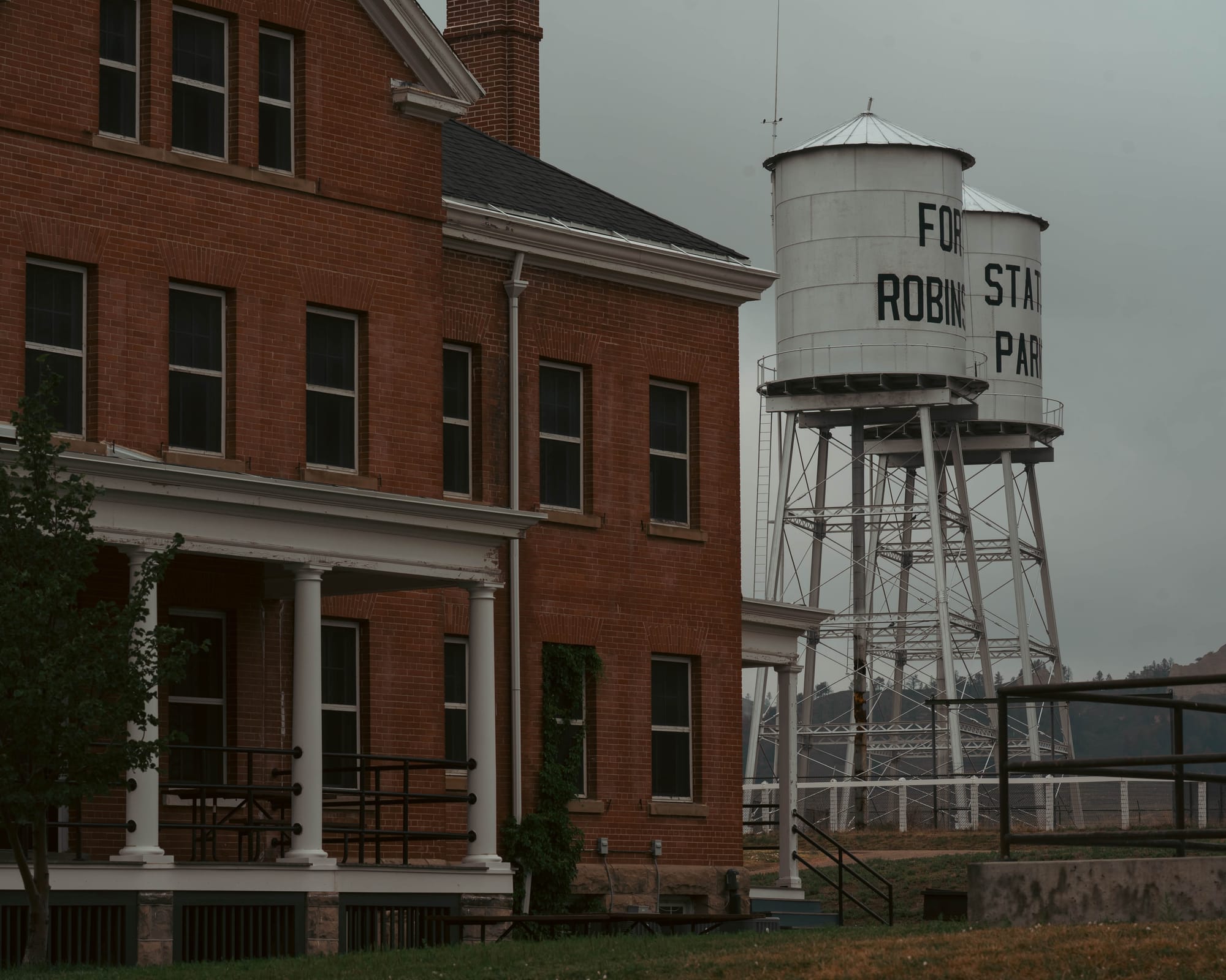
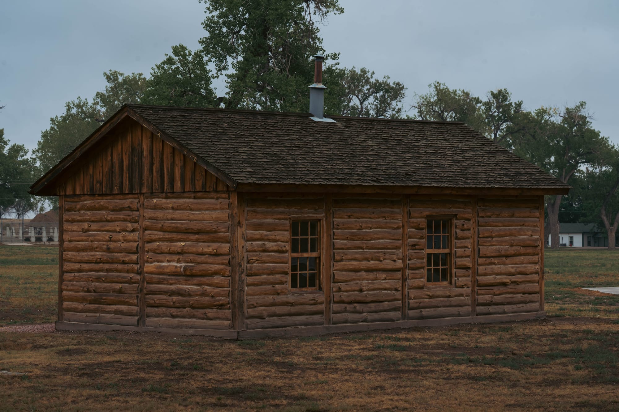
That evening, we walked through the old fort.
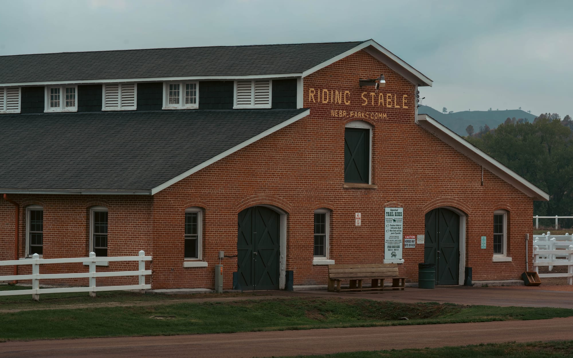
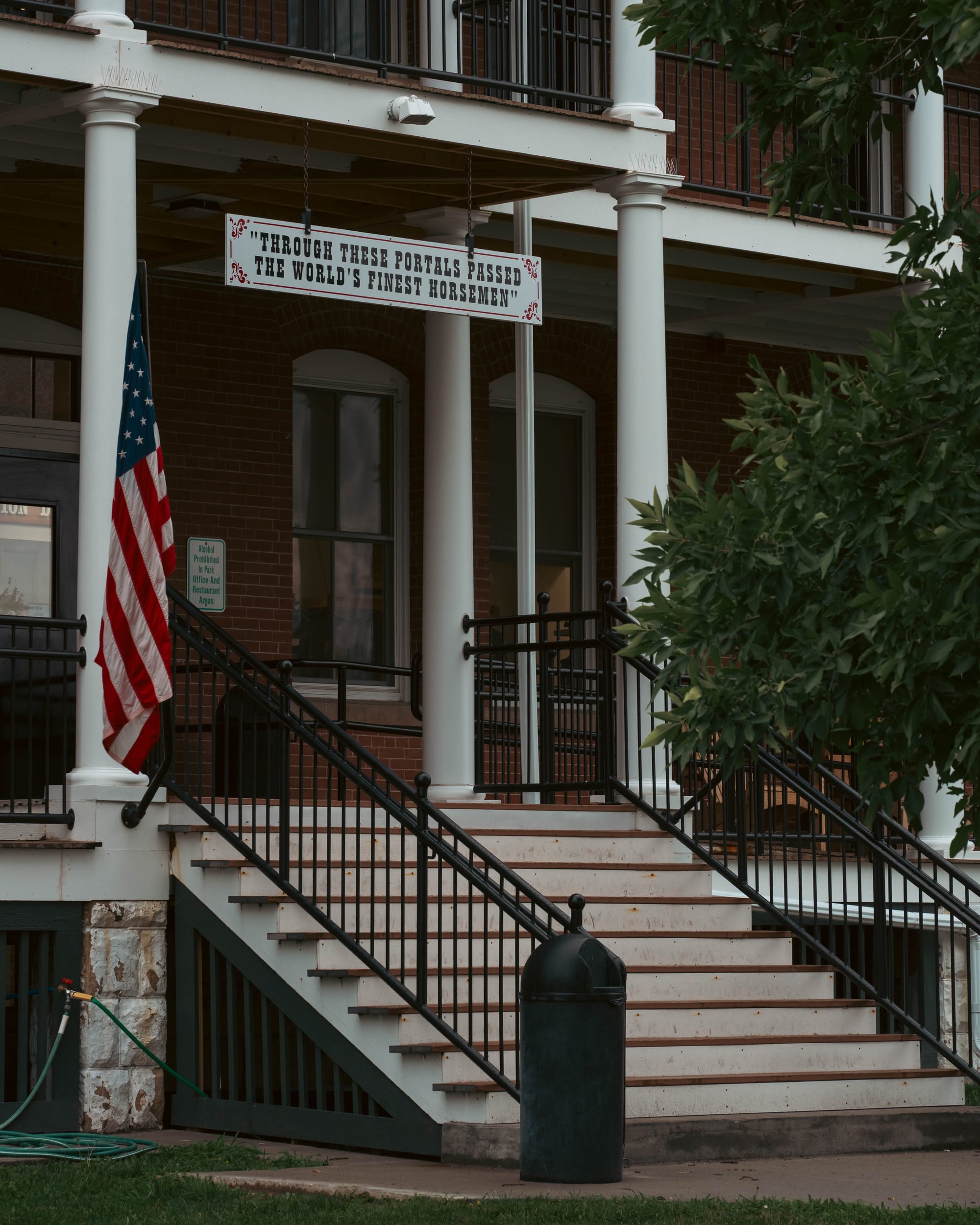
Barracks, officers' quarters, and other military buildings still line the grounds, but many have been repurposed as cabins and lodging. People sat on porches and moved between buildings that once belonged to one of the most important military posts on the northern Plains.
It did not feel like a ruin.
The fort was still being used, just for a very different purpose.
🧭 Lay of the Land
- Location: Crawford · Nebraska · 42.6867, -103.4942 · [Google Maps]
- Official site: [Fort Robinson State Park · Nebraska Game & Parks]
- Landscape: Pine Ridge · Sedimentary buttes and grasslands
- Our visit: August 2026 · two-night stay · mild, overcast conditions
🏕️ Camp Setup
- Site types: Full Hookup · Primitive · Basic · Cabins
- Arrival & setup: Easy
- Hookups: 💧 / ⚡ / 🚽 | 🧻
- Connectivity: 📶 AT&T 🟢 | 📶 Verizon 🟢 | 📶 T-Mobile 🟢 | 📡 Starlink ⟂ | 📶 Park Wi-Fi ⟂
- Facilities: Restrooms · Paid Showers
Legend:
🚽 = sewer at site · 🧻 = dump station
🟢 = solid for work · ⚠️ = usable with limits · ❌ = unusable
Park Highlights
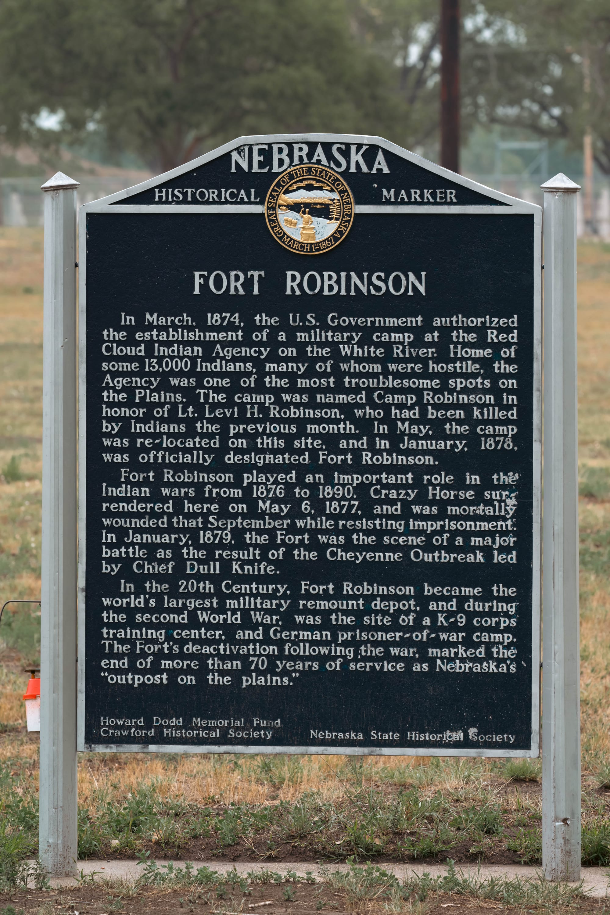
Fort Robinson began in 1874 beside the Red Cloud Agency, one of the federal agencies where Lakota people received government rations and supplies and where U.S. officials administered reservation policy.
The Army established a temporary camp there during a period of growing tension on the northern Plains. It was soon named Camp Robinson after Lieutenant Levi Robinson, who had been killed earlier that year near Fort Laramie.
The agency moved away in 1877, but the military post stayed.
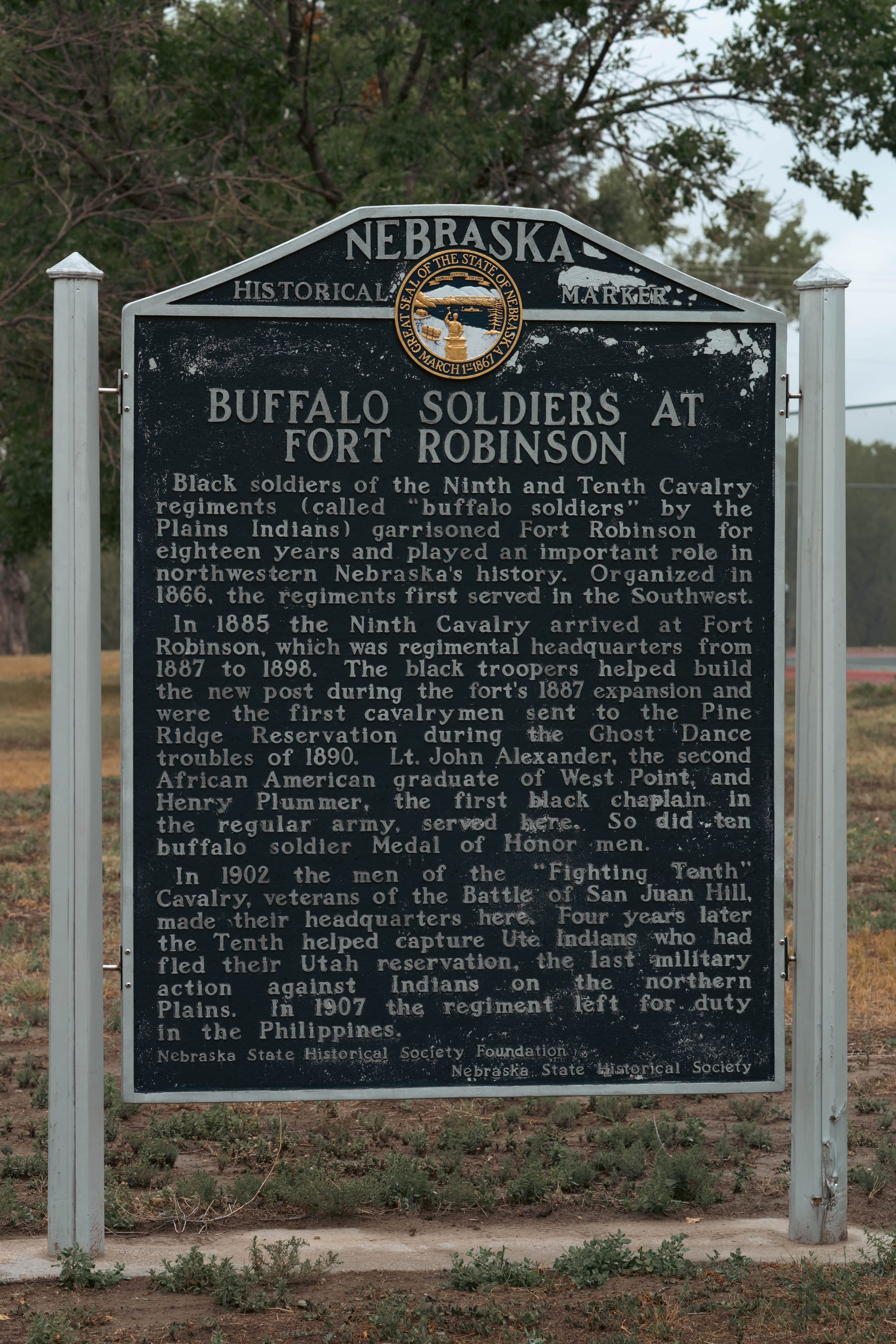
Camp Robinson became Fort Robinson the following year and eventually developed into a major cavalry post. Buffalo Soldiers served here beginning in the 1880s, and in the twentieth century the fort became an important Army remount depot for breeding and training horses and mules. During World War II, it also supported military dog training and held German prisoners of war.
That long history explains why the park contains so much more than a reconstructed frontier fort.
The buildings we walked past belonged to a place that kept changing jobs for more than seventy years.
Crazy Horse and the Northern Cheyenne
The fort's best-known history came much earlier.
By 1877, U.S. military campaigns had placed increasing pressure on Lakota and Northern Cheyenne groups who remained outside the agencies. On May 6, Crazy Horse surrendered at Camp Robinson with hundreds of people from his band.
Four months later, after relations with military and agency officials deteriorated, authorities moved to arrest him.
A struggle followed at the guardhouse, and Crazy Horse was fatally wounded by a soldier's bayonet. He died at Camp Robinson on September 5, 1877.
We did not visit the memorial associated with his death, but the event is central to understanding why Fort Robinson matters.
Less than two years later, the fort became the site of another violent confrontation.
Northern Cheyenne under Dull Knife and Little Wolf had been forced south to Indian Territory in present-day Oklahoma. In 1878, more than 350 left and attempted to return north.
Dull Knife's group was eventually captured and brought to Fort Robinson. When they refused orders to return south, 149 men, women, and children were confined inside a cavalry barracks.
On January 9, 1879, they broke out and fled into the surrounding hills.
Soldiers pursued them through the buttes around the fort. Many were killed or recaptured over the following days in what became known as the Fort Robinson Massacre.
Fort Robinson was part of a much larger conflict unfolding across the Plains and Black Hills, but those events deserve more space than a campground post can give them.
🚴 On the Ground
- Activities available: ● 🥾 Hiking | ● 🚴 Biking | ● 🐕 Dogs | ● 🚣 Paddling | ● 🎣 Fishing | ● 🐦 Wildlife / Birding | ● 🏊 Swimming | ● 📸 Photography | ● 🏕️ Camp-centric | ○ 🧗 Climbing
- Trail mileage available: 🥾 60 mi | 🚴 20 mi | 🚣 ⟂
- Crowd level: Steady
Legend: ● = available · ○ = not available
Into the Buttes
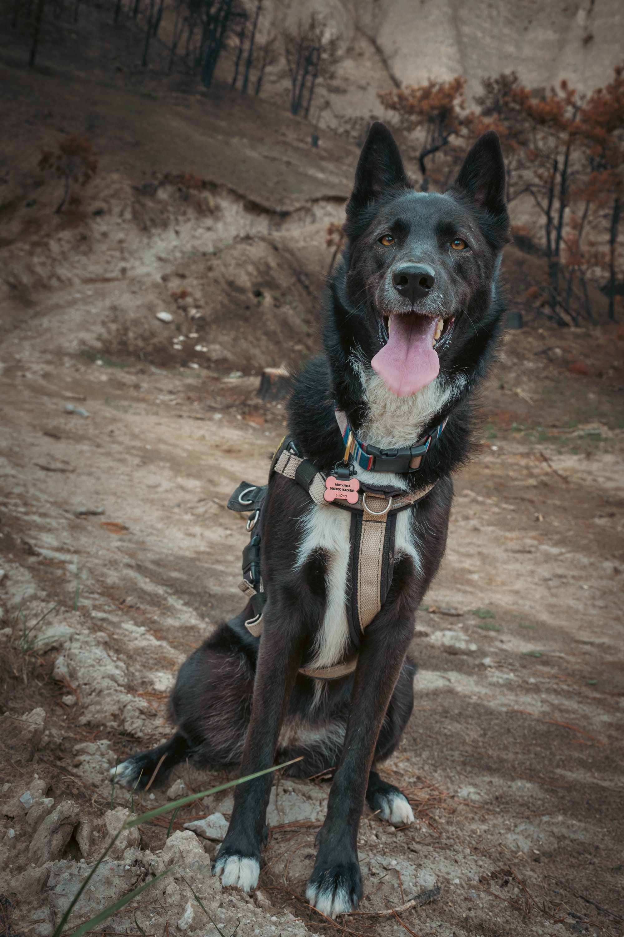
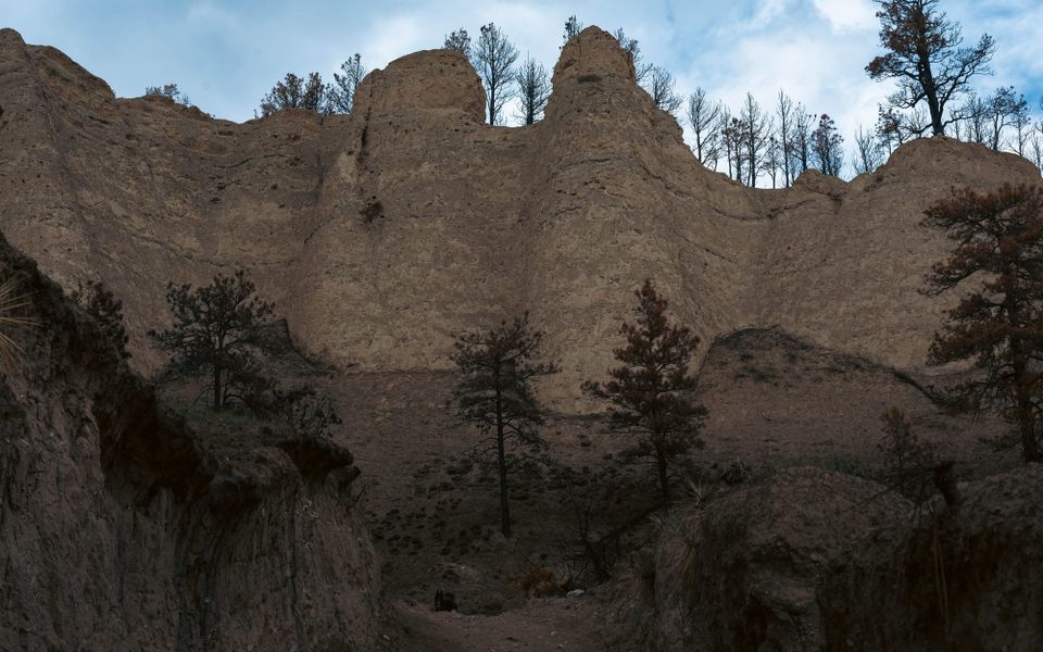
Ktaadn and I headed into the formations above the fort for what was supposed to be a roughly three-mile hike.
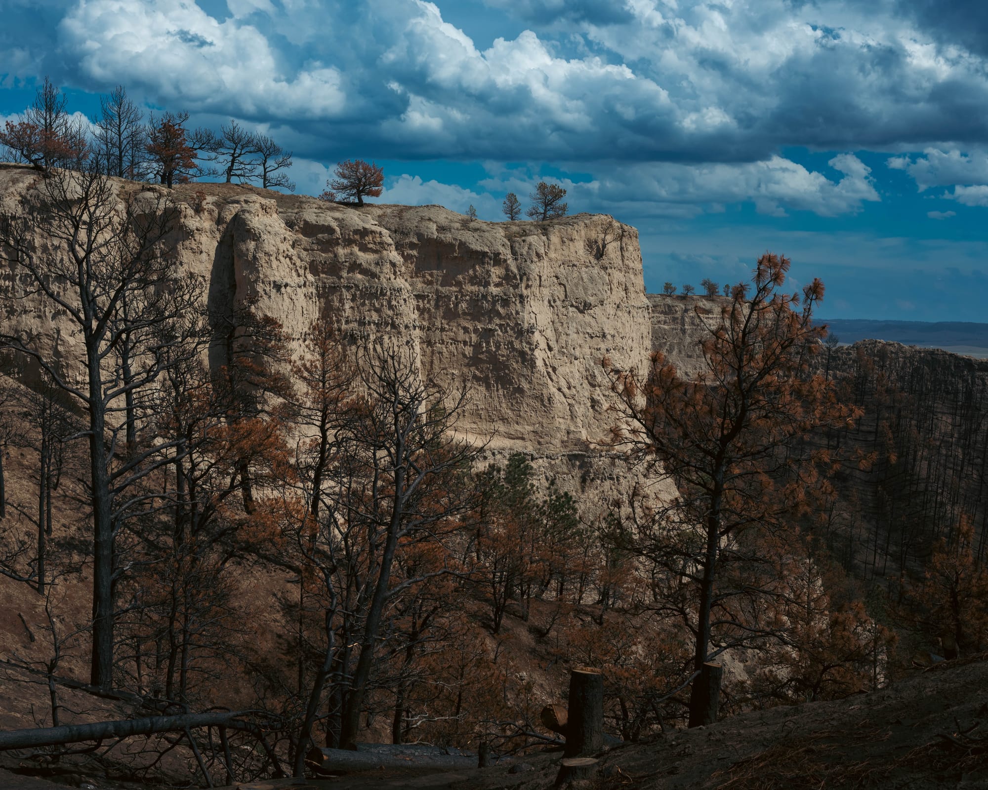
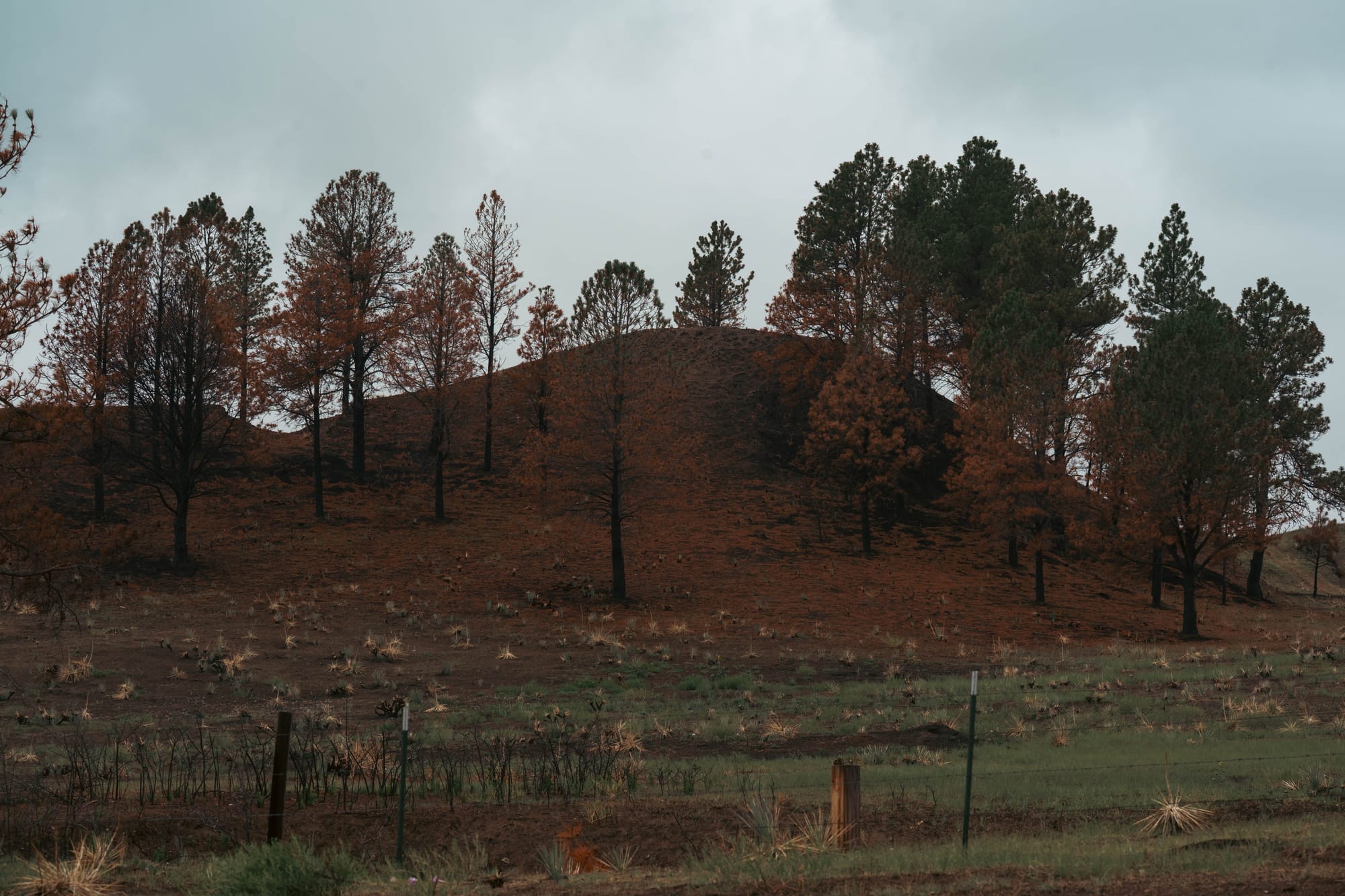
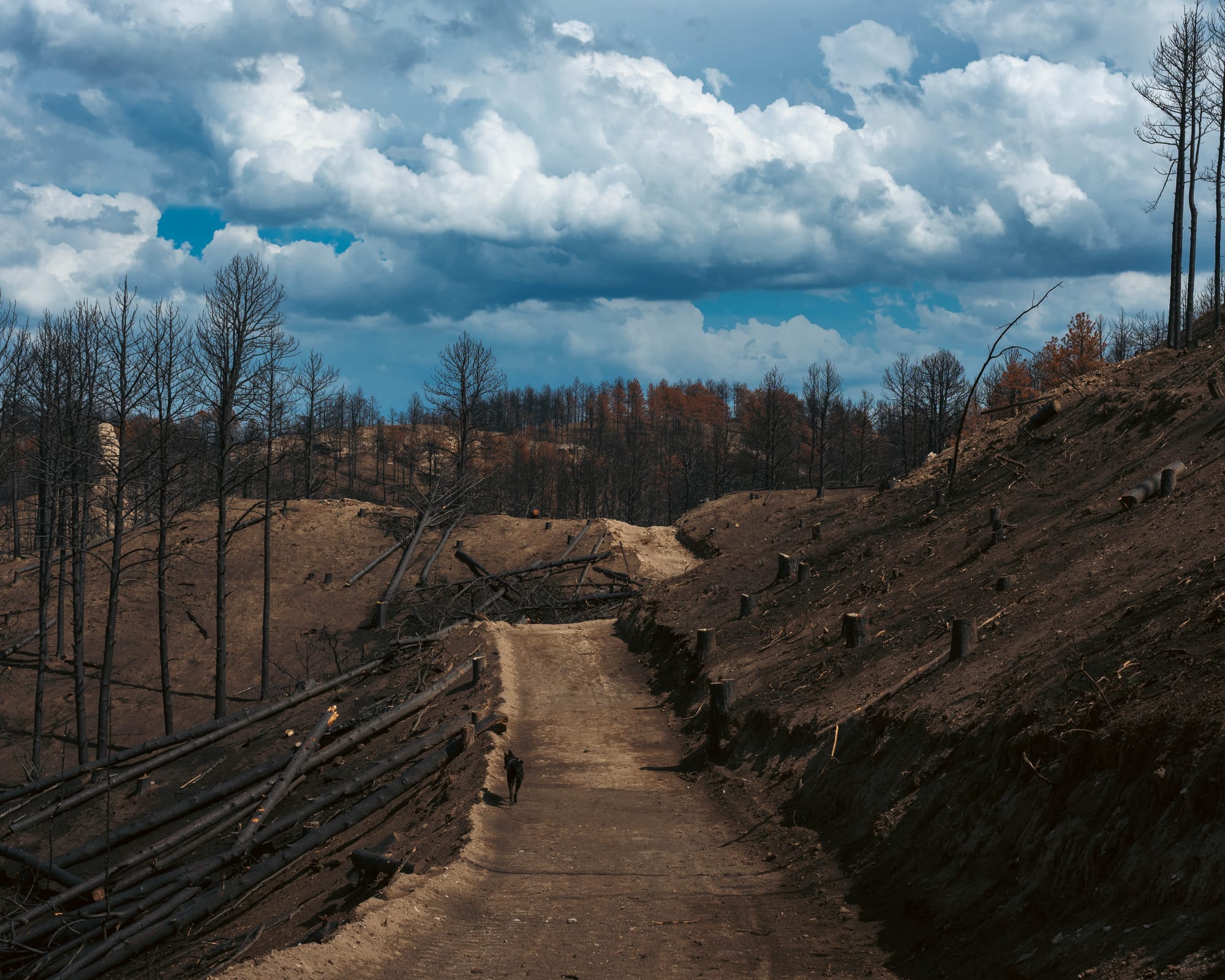
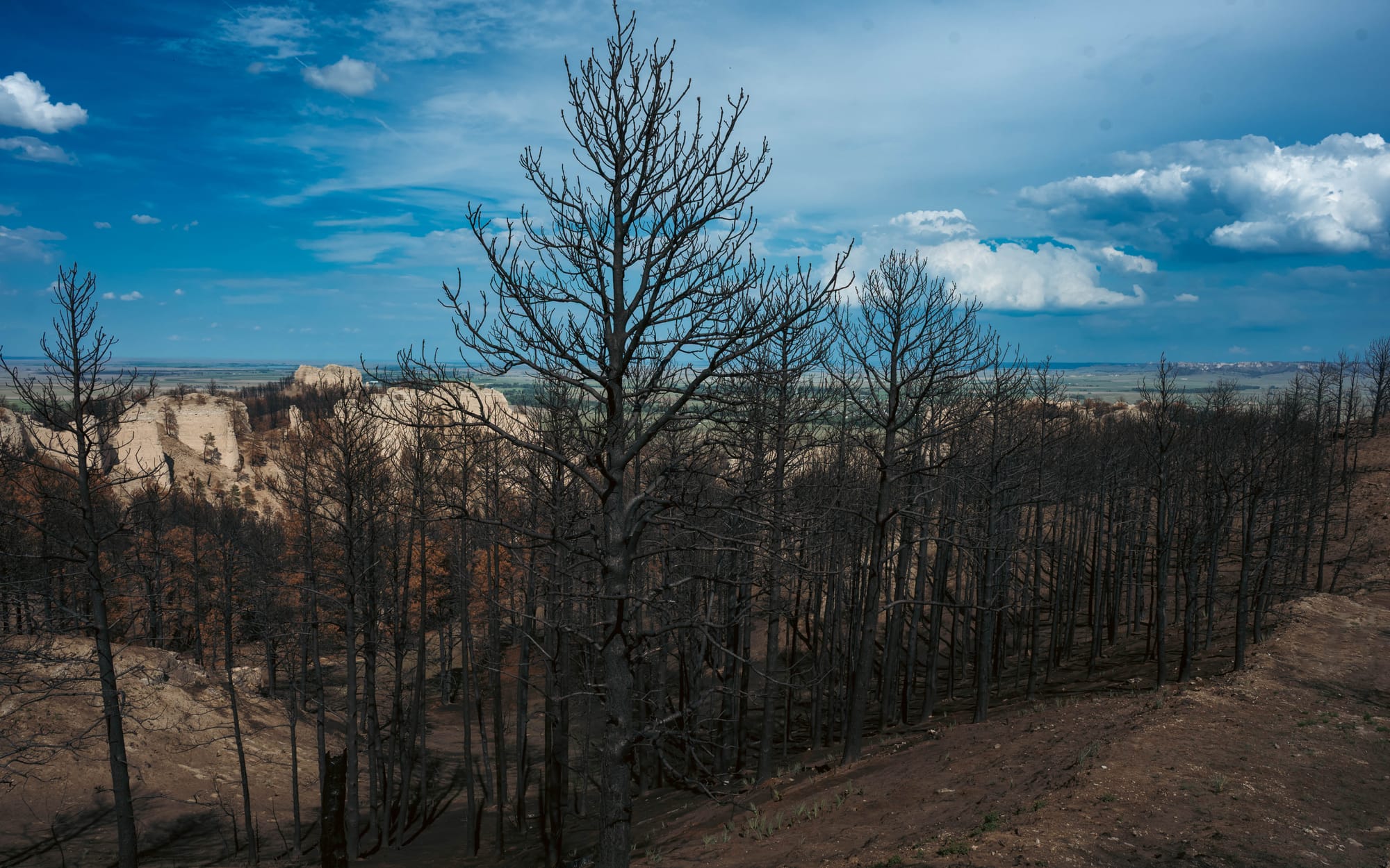
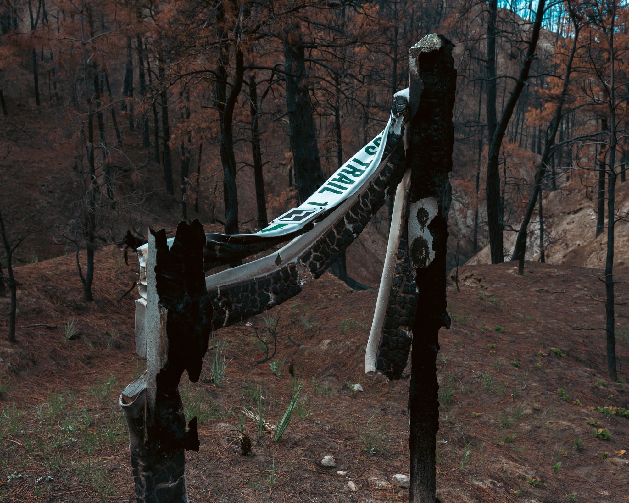
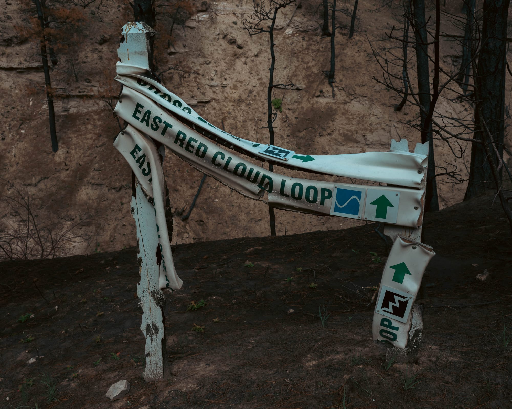
A major wildfire had burned through the Fort Robinson area in June, only about two months before our visit, and the damage quickly began affecting the route.
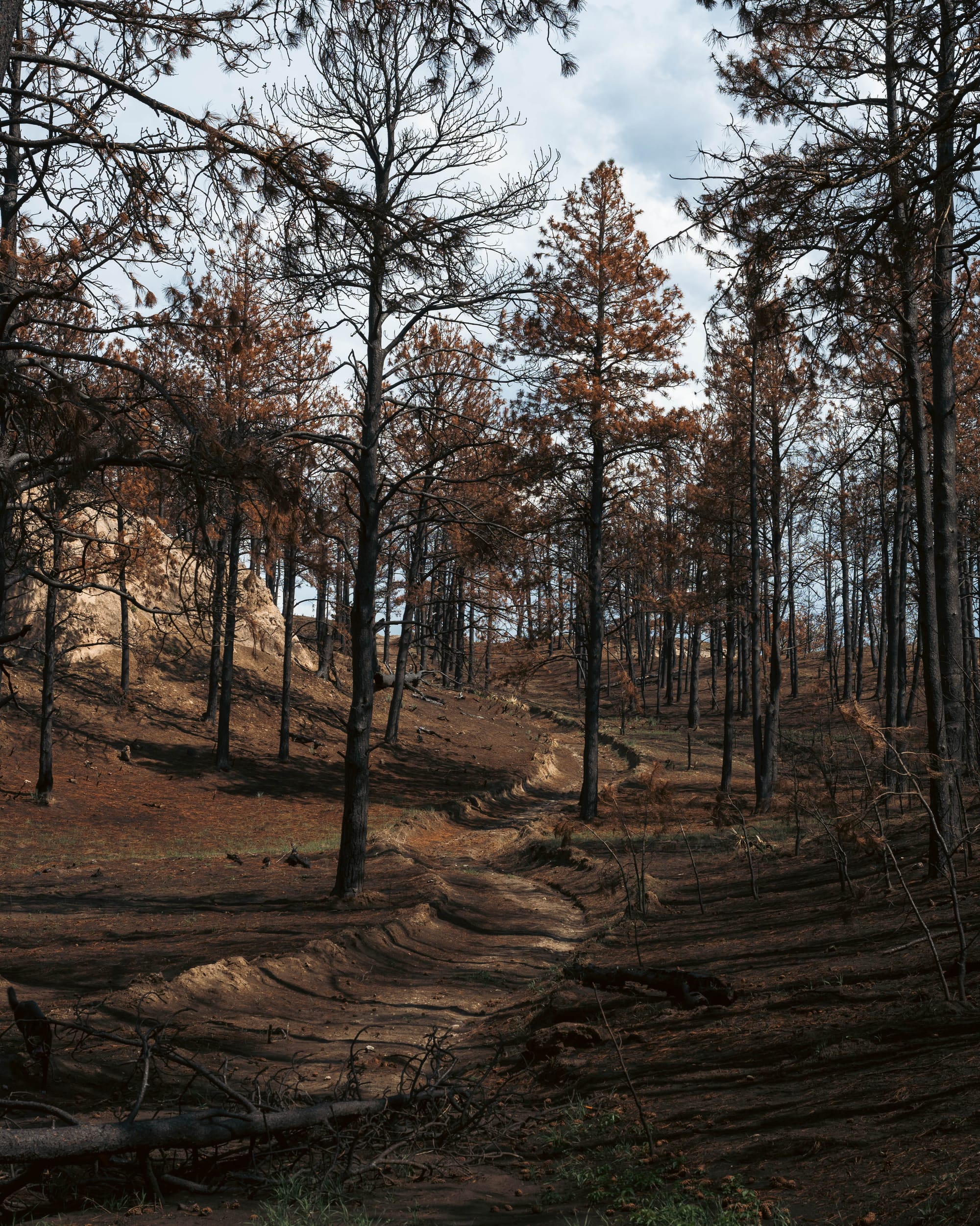
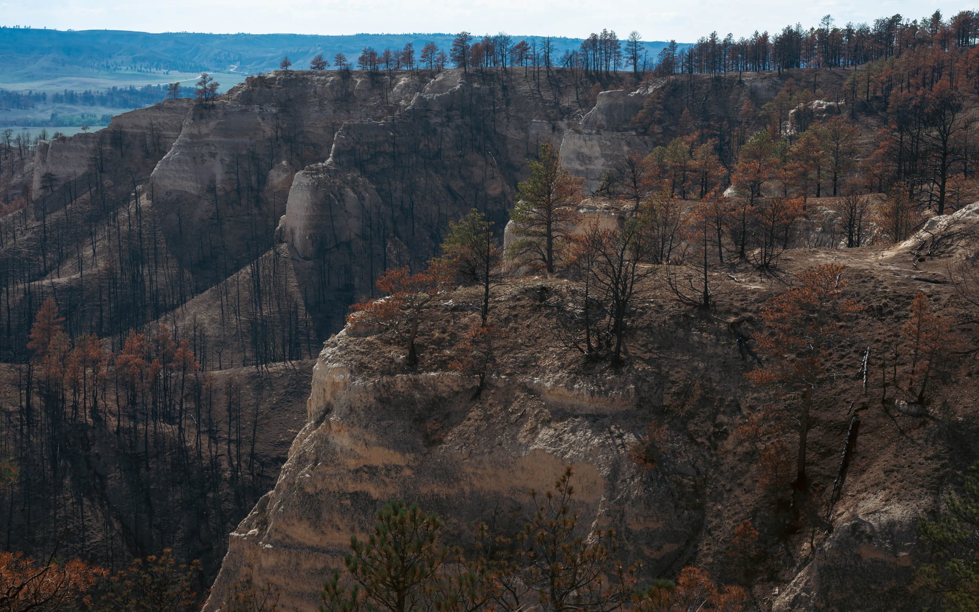
Trail signs had melted or burned. Sections of tread disappeared completely. Charred trunks covered the slopes, while some standing trees still carried orange-red needles.
In places, the ash looked solid until we stepped into it and sank several inches.
We lost the route repeatedly.
Eventually we stopped trying to force the original loop and bushwhacked for roughly the final two miles, climbing back toward a ridge where we could relocate the trail.
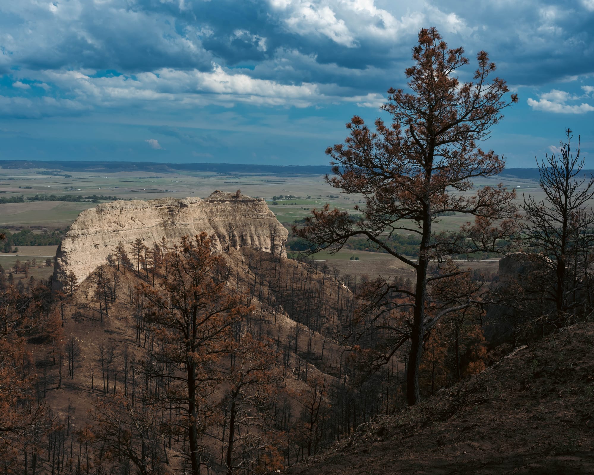
From the ridge, the landscape justified the effort.
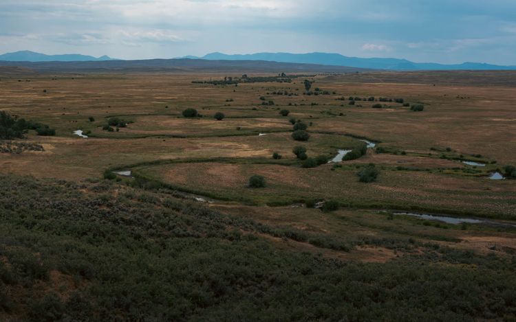
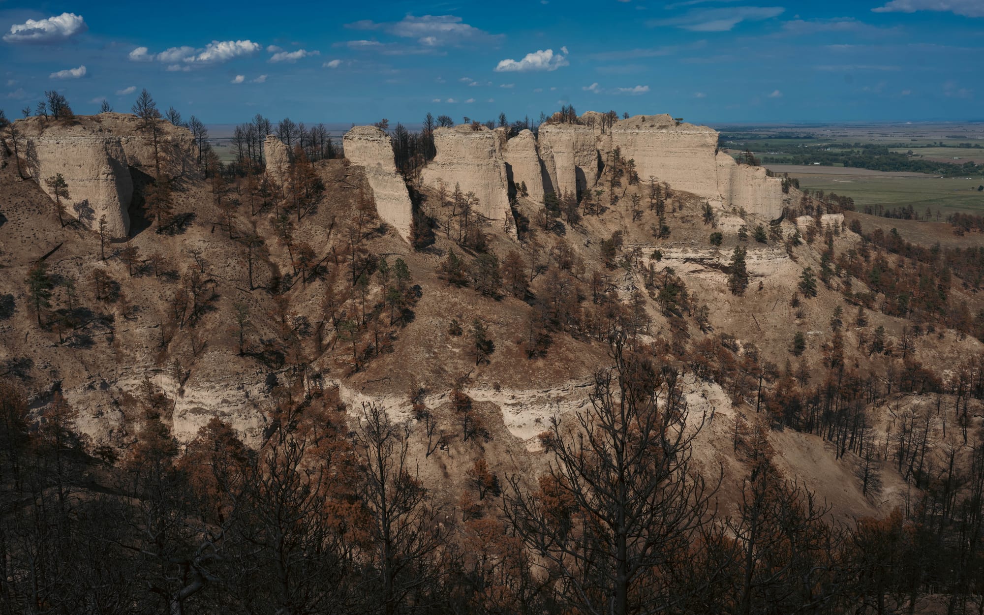
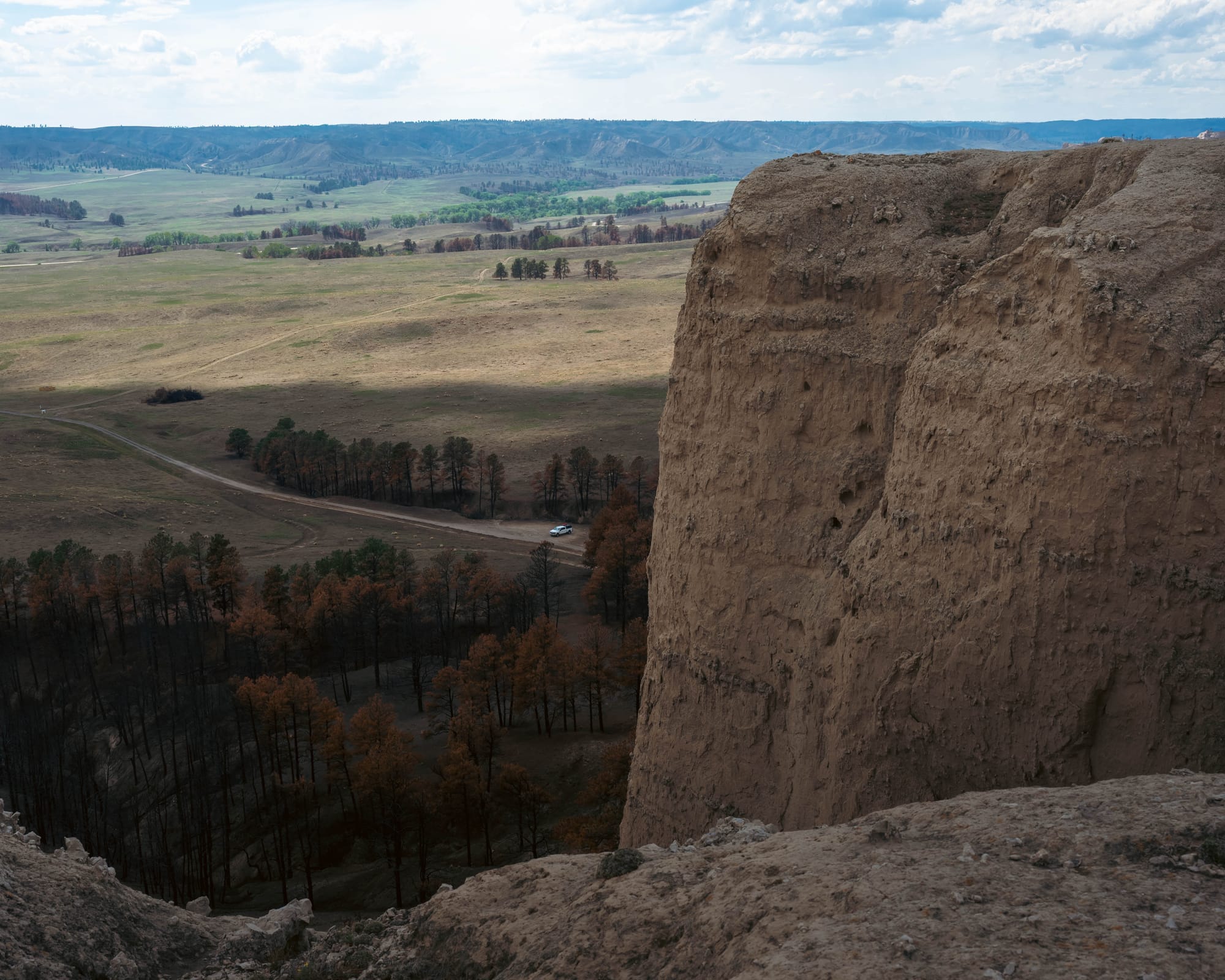
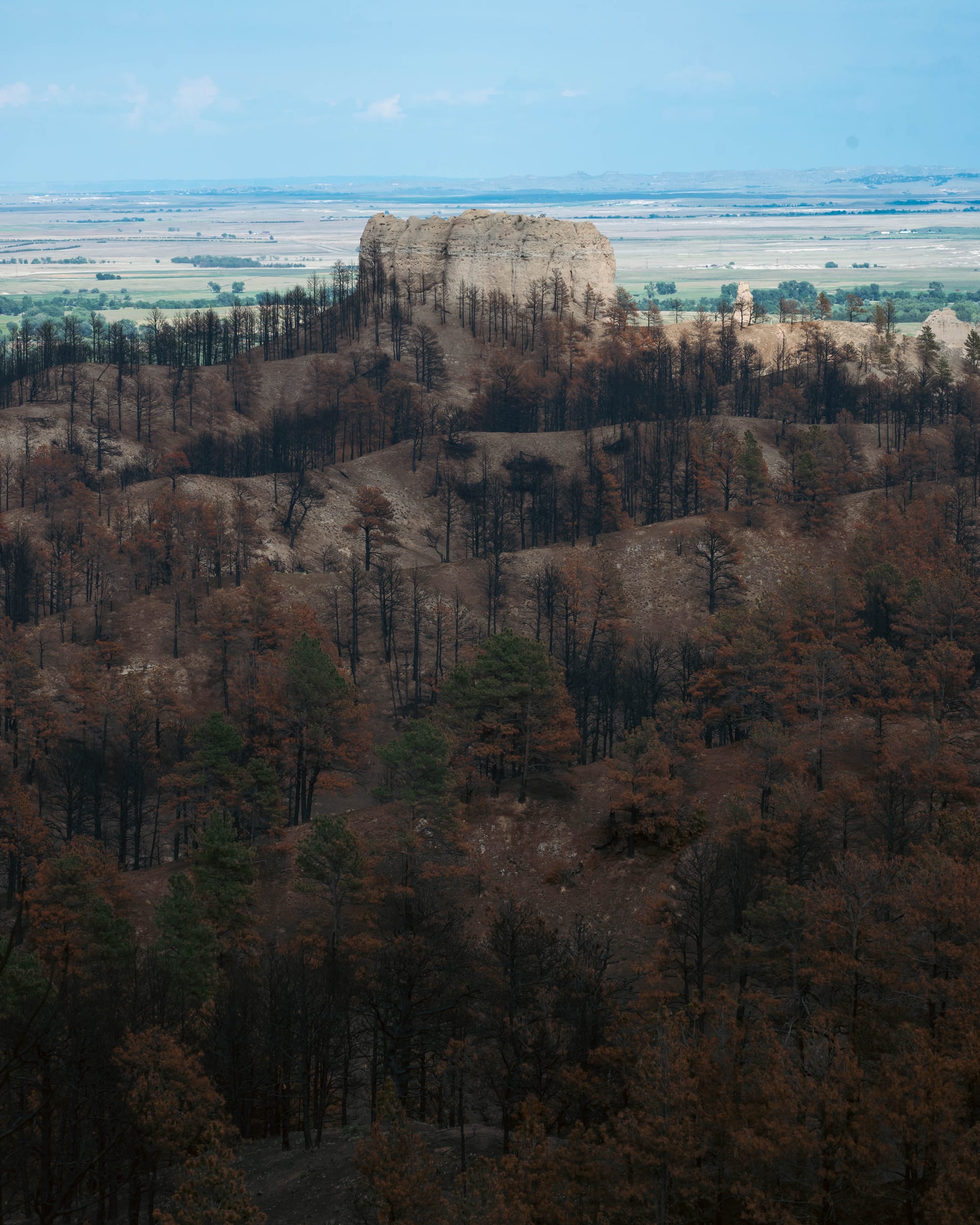
From higher ground, we could look back across the fort and out over the plains, with isolated cliffs and buttes rising abruptly around us.
Those formations are part of Nebraska's Pine Ridge, an escarpment that cuts across the western High Plains.
The buttes are largely made from layers of sedimentary rock, including material deposited by ancient streams along with windblown volcanic sediments. Over millions of years, erosion removed softer material and carved valleys into the plateau, leaving more resistant remnants standing as cliffs, ridges, and isolated buttes.
That is why they seem to appear out of nowhere.
They did not rise above the surrounding plains like mountains.
They are pieces of an older surface that erosion left behind.
The recent fire had stripped away vegetation across parts of that landscape, making the shape of the ridges and buttes even easier to see.
It also made our ~5 mile hike considerably harder than the map suggested.
⚡ TL;DR
- Park highlight: Historic military post backed by the abrupt buttes of Nebraska's Pine Ridge
- Best for: History, hiking, unusual geology, and a campground with full hookups
- Skip if: You want a quiet, secluded campground or a destination focused mainly on wilderness
- Worth planning around?: Maybe
Final Thoughts
Fort Robinson was only a two-night stop, but it had much more going on than I expected from a state park campground.
The restored fort buildings give the place an unusual character, while the Pine Ridge buttes rise immediately behind them and make it feel nothing like the Nebraska plains I had pictured before we arrived.
The harder part was realizing how much history sits underneath the modern park.
Our visit only scratched the surface.
A few days later, some of the same history would follow us into the Black Hills.