Appalachian Trail | 100 Mile Wilderness & Mt. Katahdin
Leaving Shaw's meant finally confronting something we had put off for most of the trail.
What came next?
For months, whenever that conversation surfaced, the answer had been easy. We had plenty of time. We would figure it out later.
Then later arrived.
Sunshine, Bubbles, Fungi, and I left Monson with roughly five days of food and another five-day food drop waiting farther north. There were only about 118 miles of Appalachian Trail left, and for once, making them disappear quickly was not the goal.
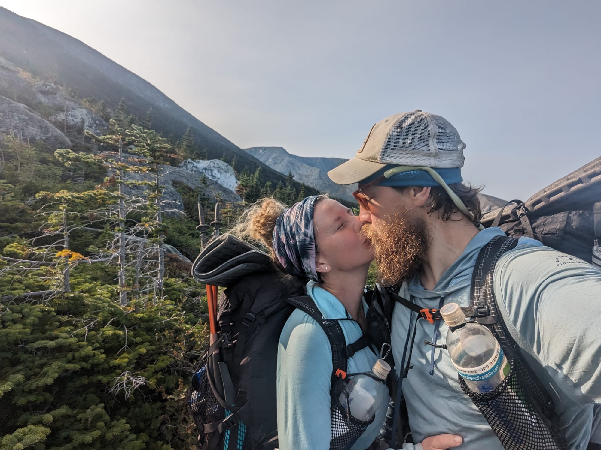
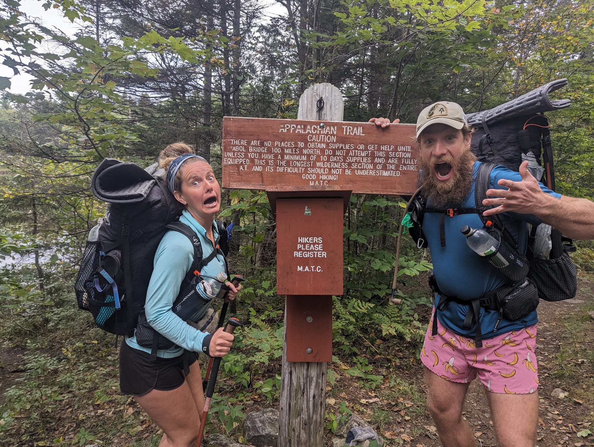
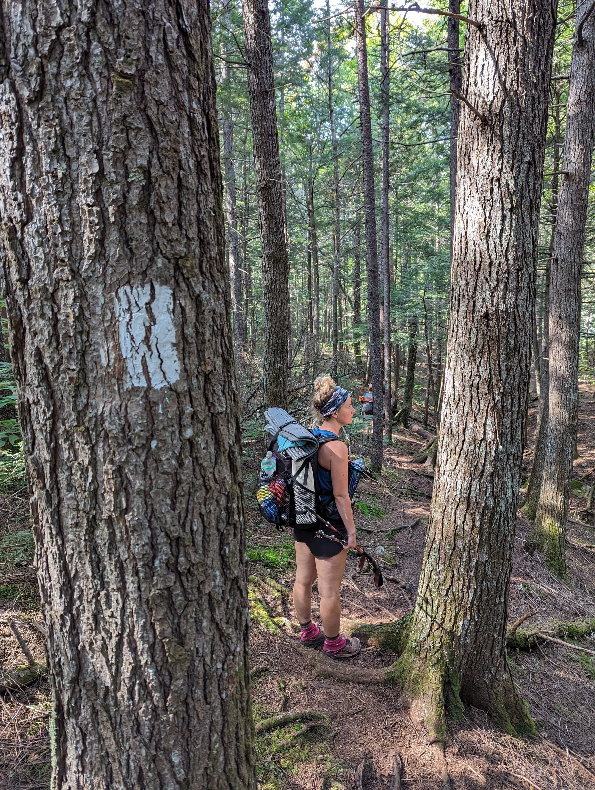
We took the obilgatory photo at the entrance to the 100-Mile Wilderness, shouldered packs that were heavier than usual, and started walking.
In less than two weeks, this six-month adventure would be over.
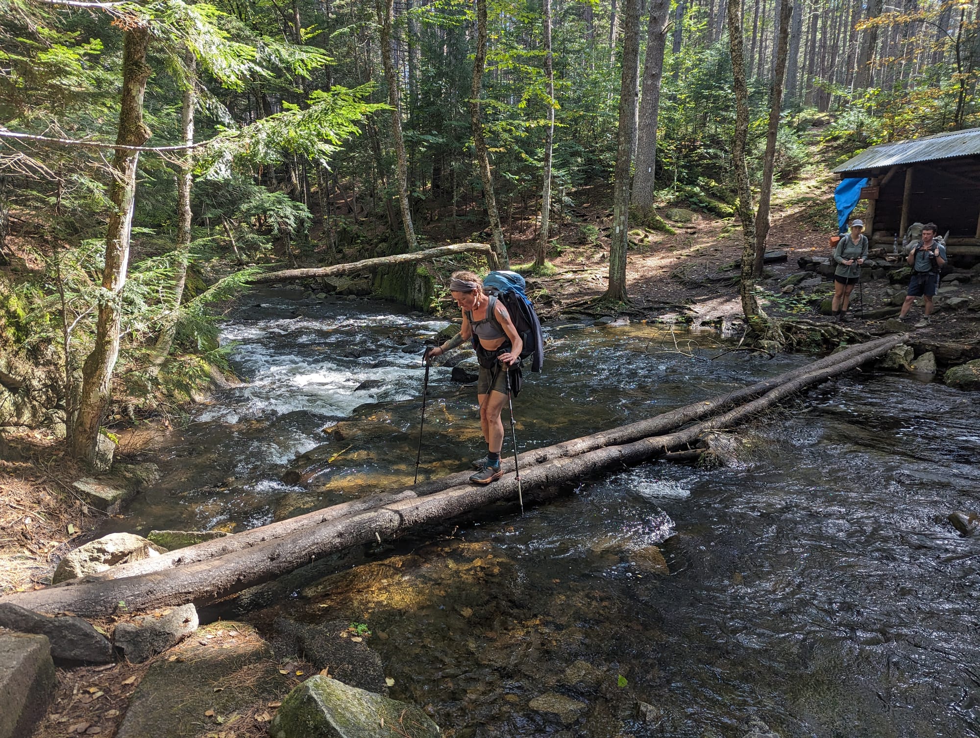
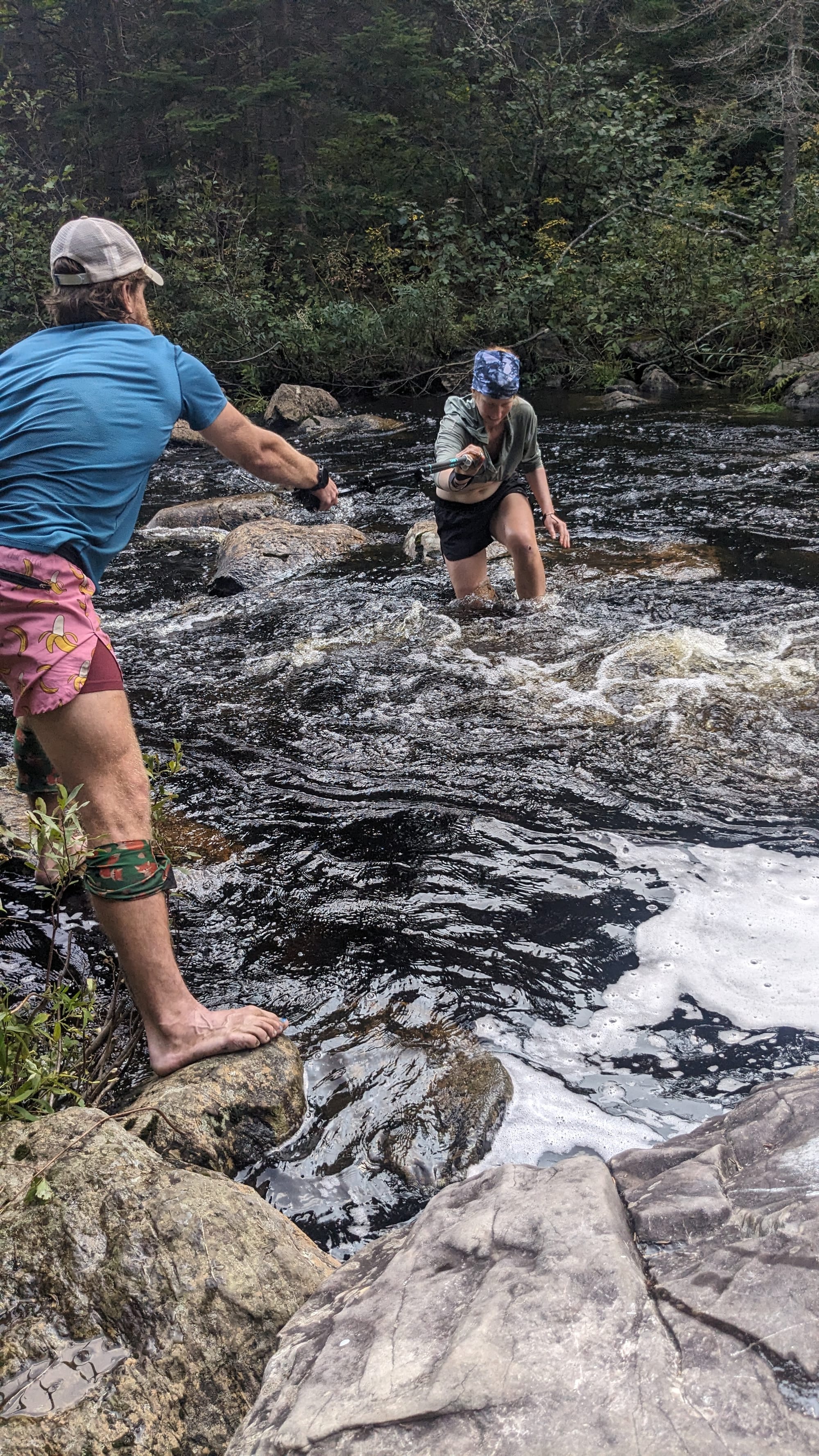
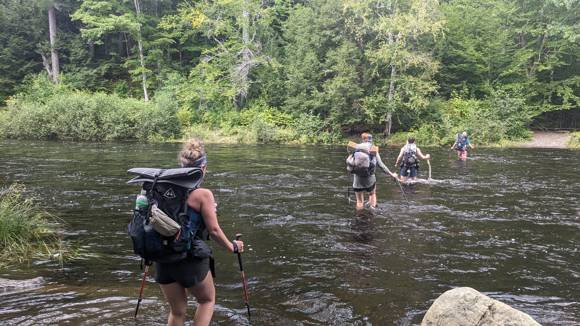
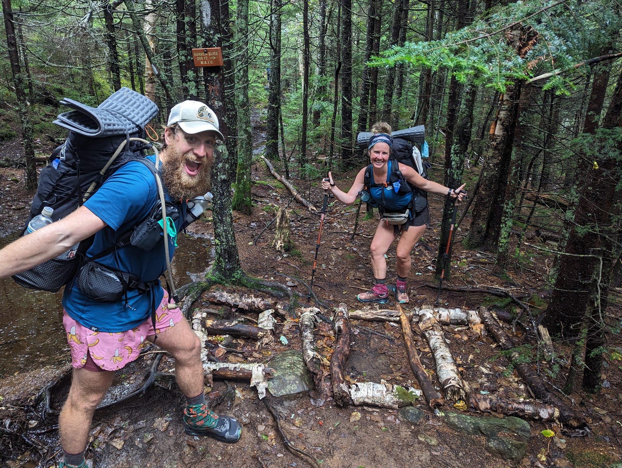
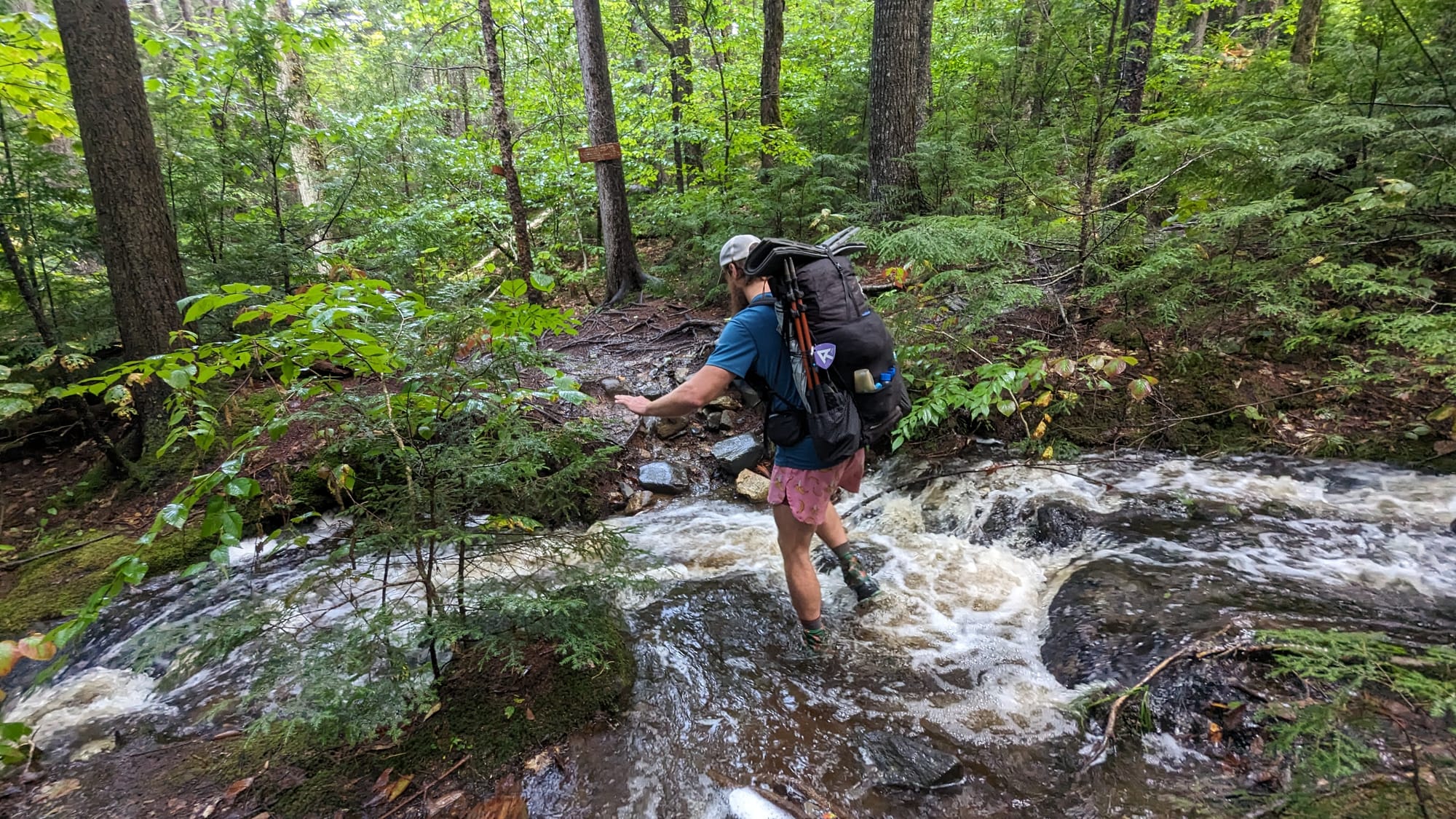
Wet shoes from Shaw's to the summit
🗺️ The Lay of the Land
- Section: The 100-Mile Wilderness & Katahdin
- AT miles: approx. 2,080–2,198
- Direction: Northbound
- Landscape: Maine lake country · Katahdin massif
- Terrain: roots · mud · river crossings · alpine boulder scramble
- Section role: the final stretch and northern terminus of the AT
Regional Notes
The 100-Mile Wilderness
There are no public road crossings along the AT between Monson and the northern end of the Wilderness, but the surrounding Maine woods are not untouched.
Logging roads cross the broader landscape, established shelters and campsites line the route, and access exists even when it is less obvious from the footpath.
The terrain also changes as the trail moves north.
There are still substantial climbs through the Chairback and White Cap areas, but much of the northern half moves through lower forest broken by ponds, lakes, wetlands, streams, and broad river valleys.
Elevation becomes less dominant while water becomes more the more impactful feature.
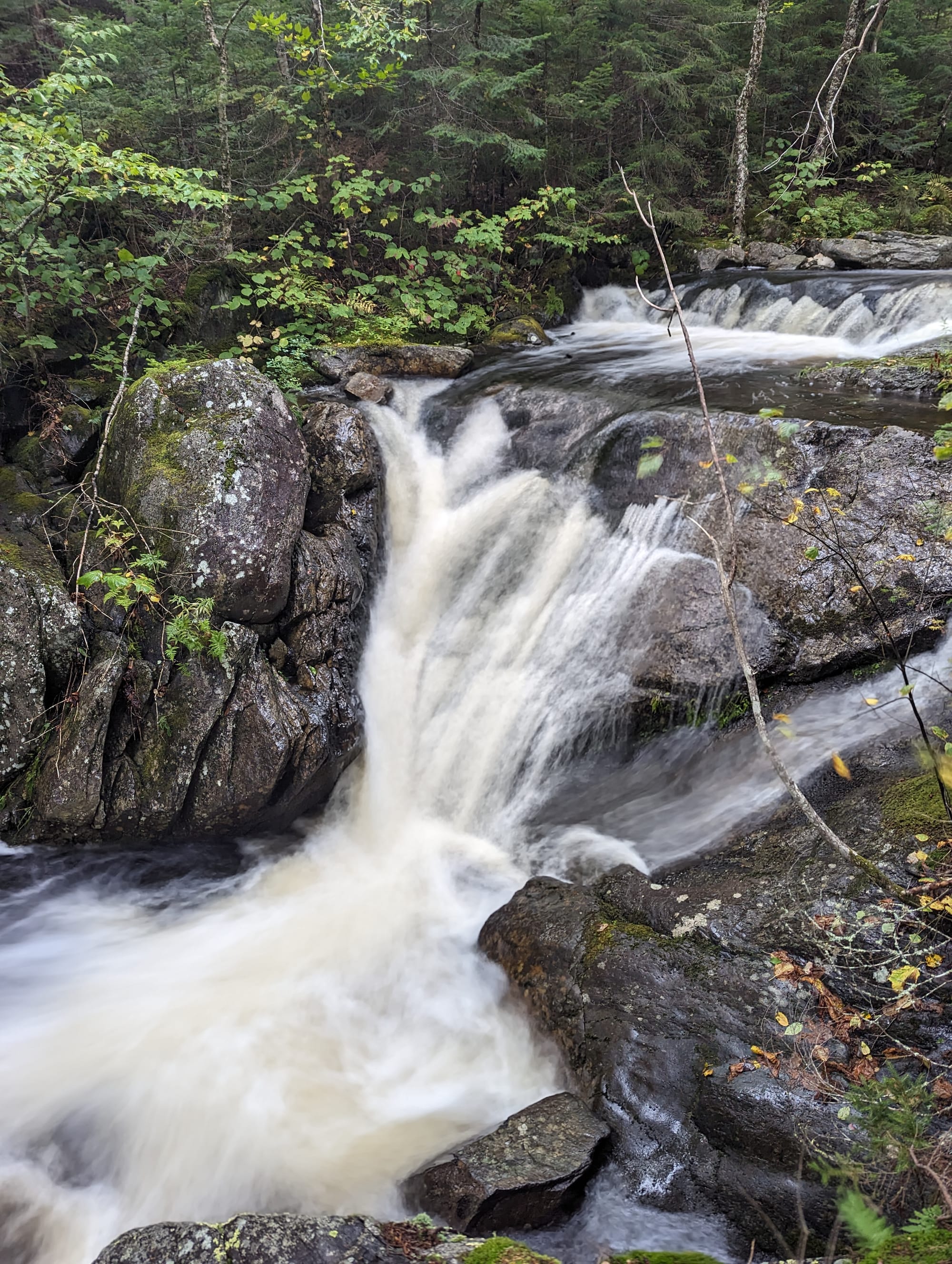
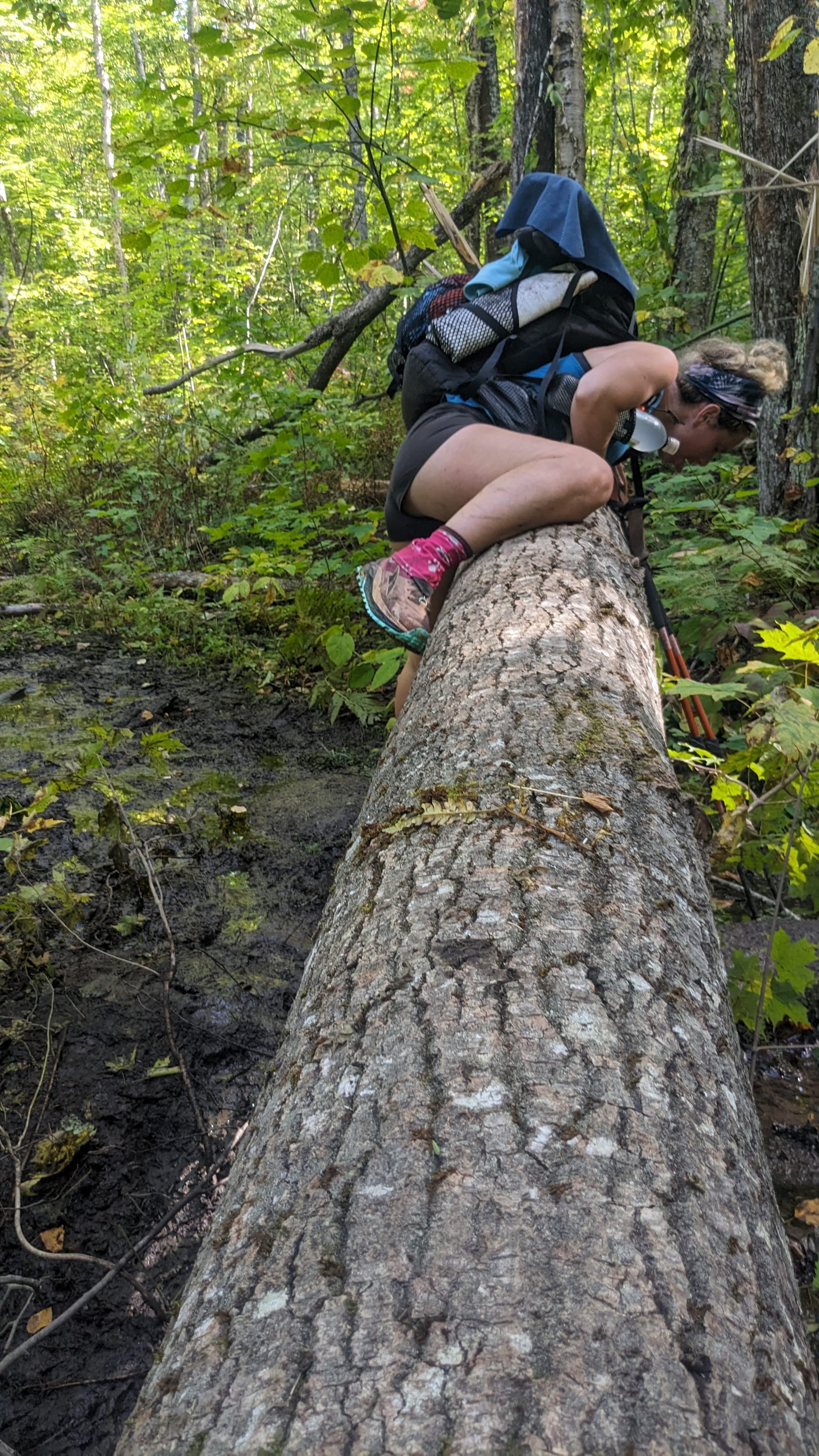
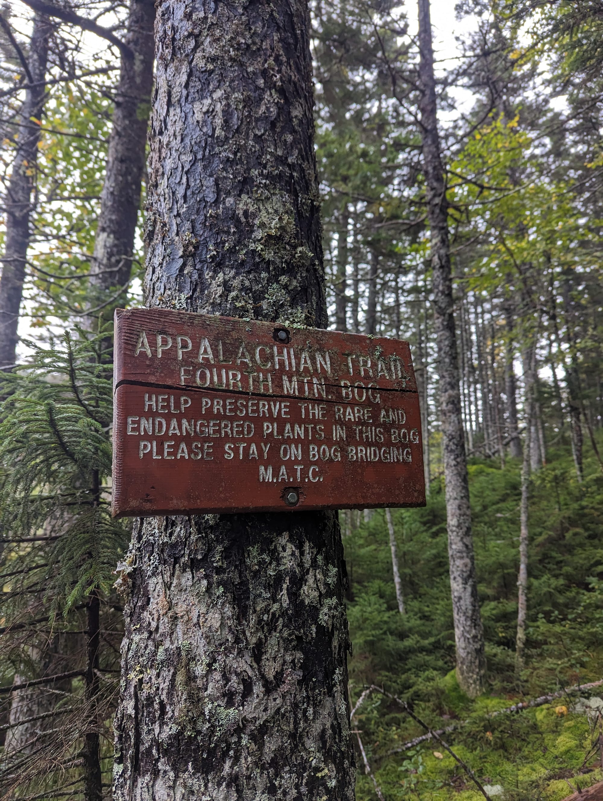
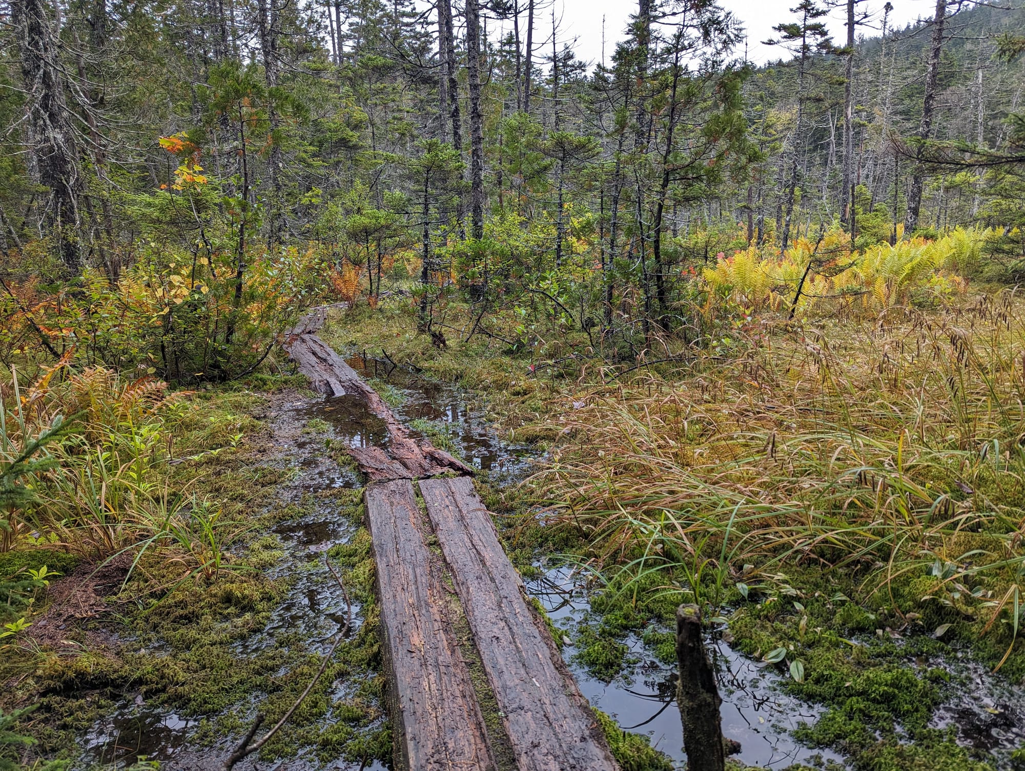
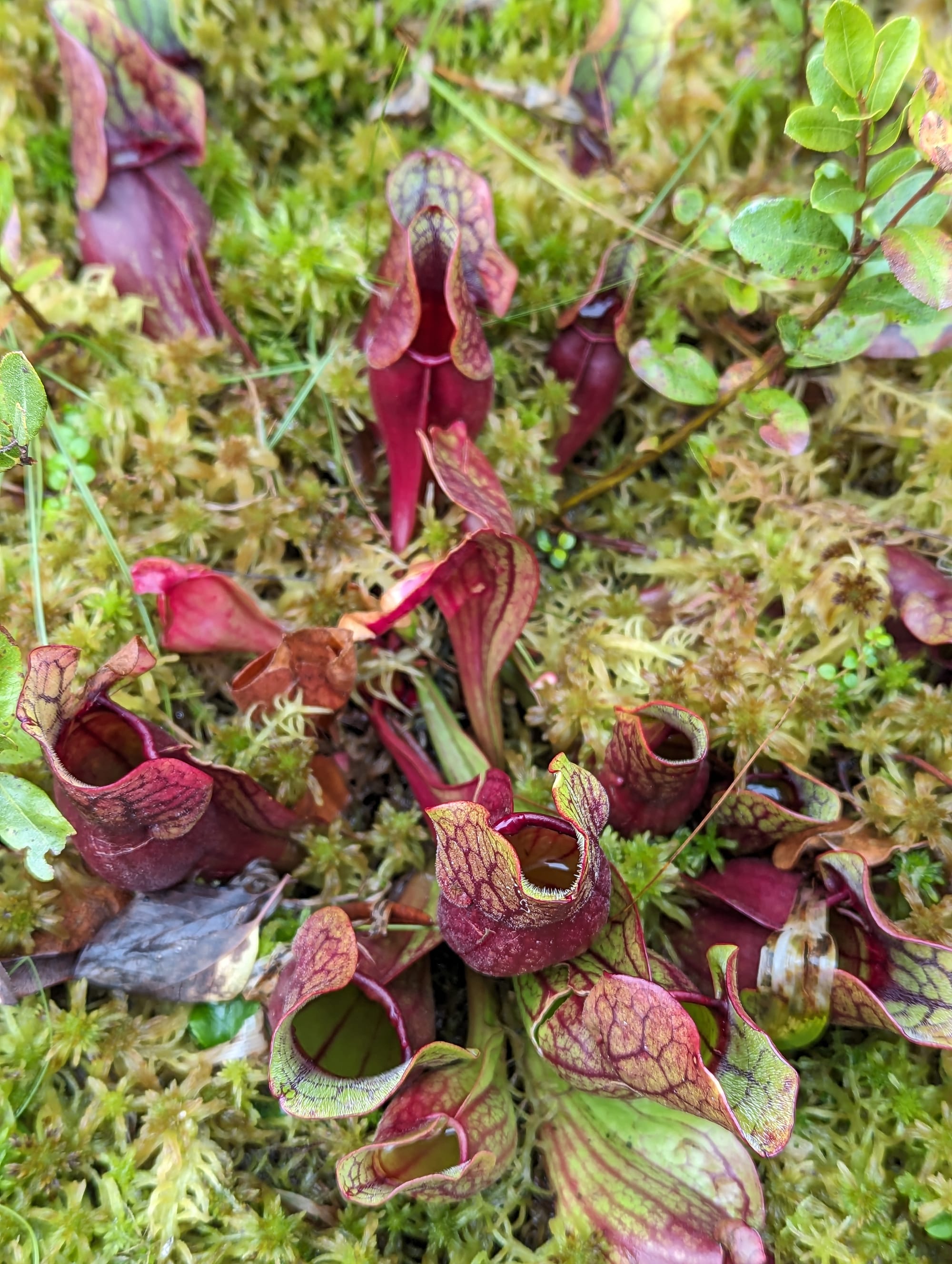
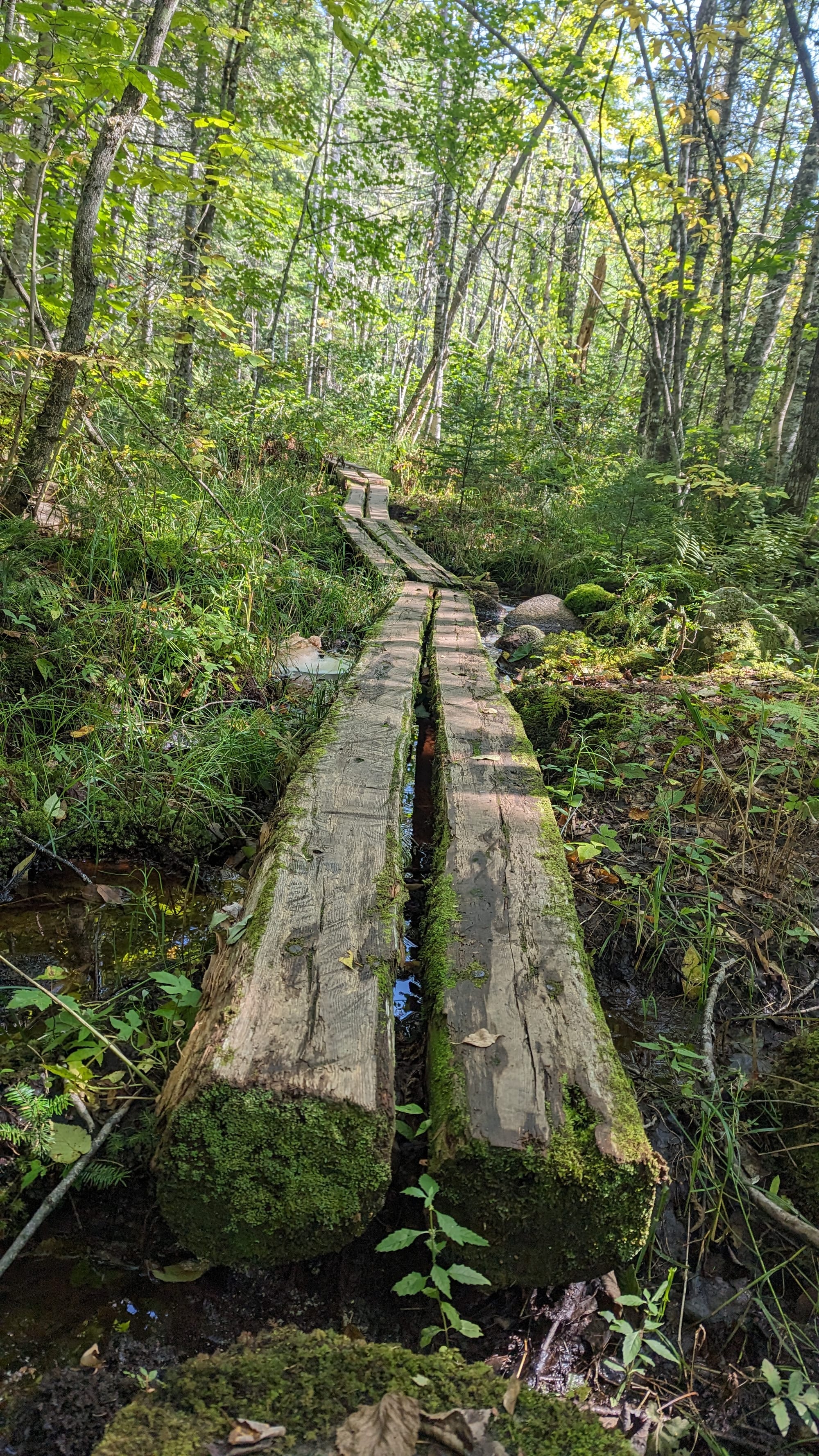
Roots cover long stretches of tread. Wet ground turns to mud. Bog boards cross saturated areas. Rivers and streams can change quickly after heavy rain.
A relatively flat elevation profile can still hide a slow day.
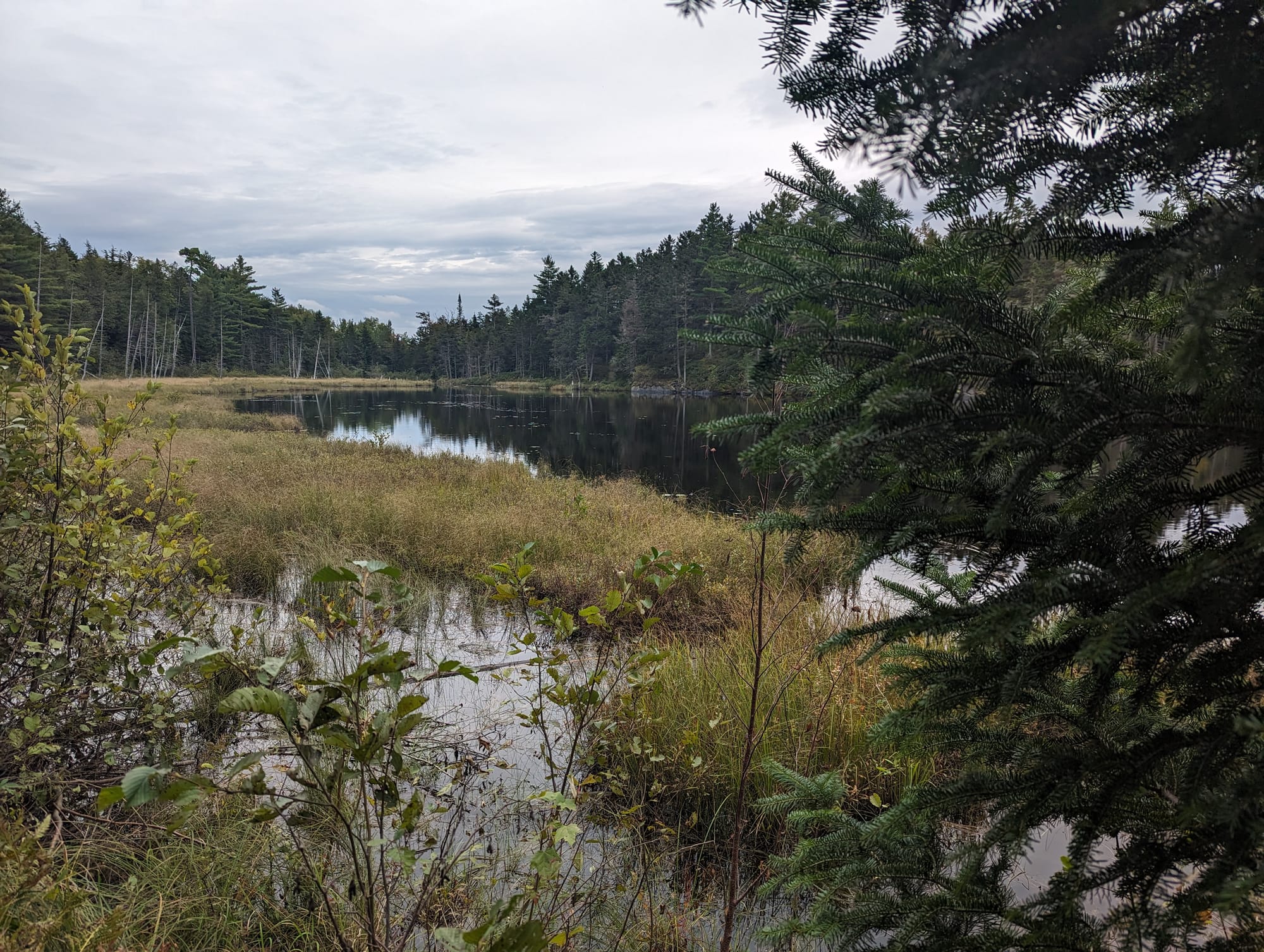
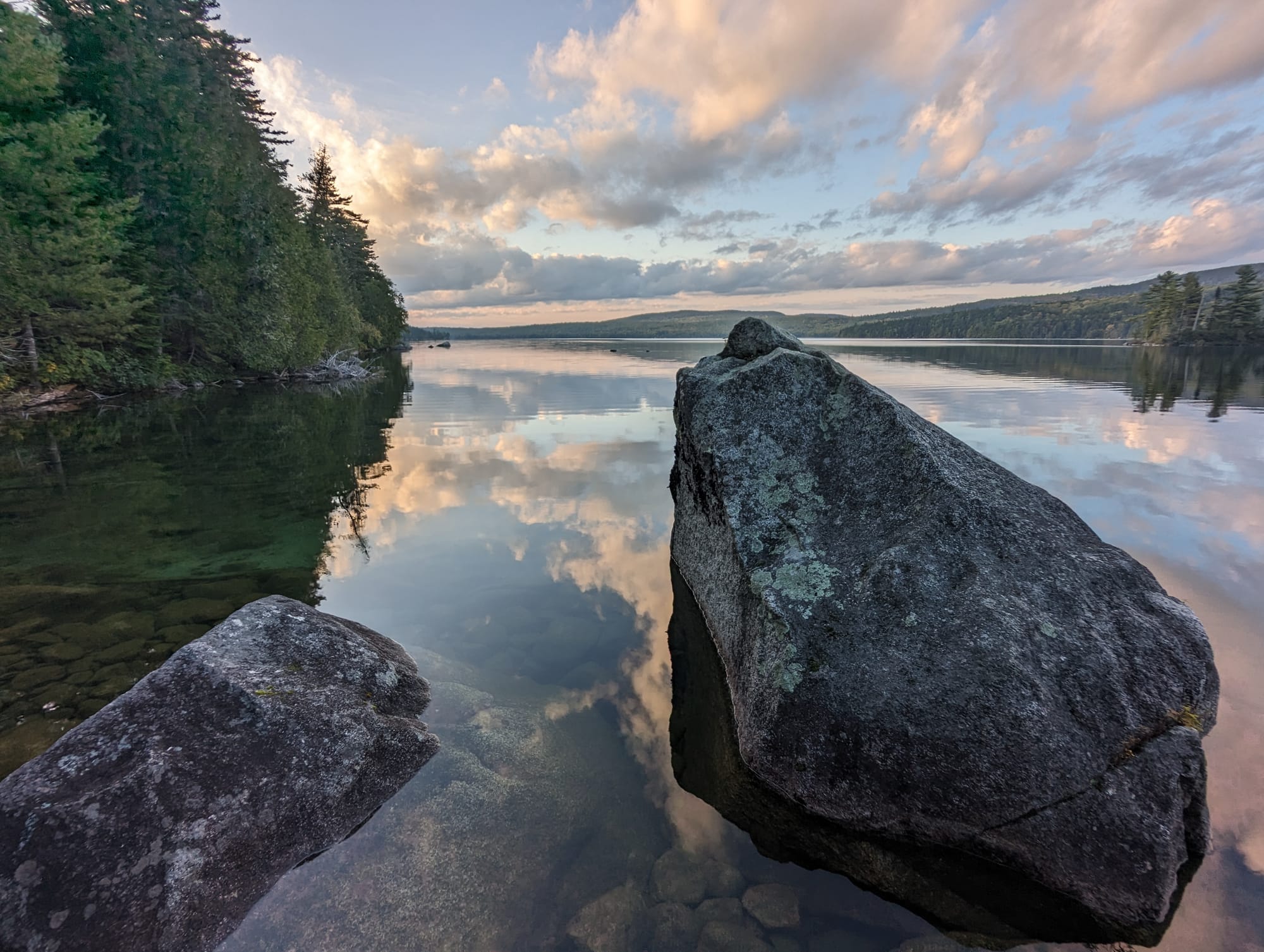

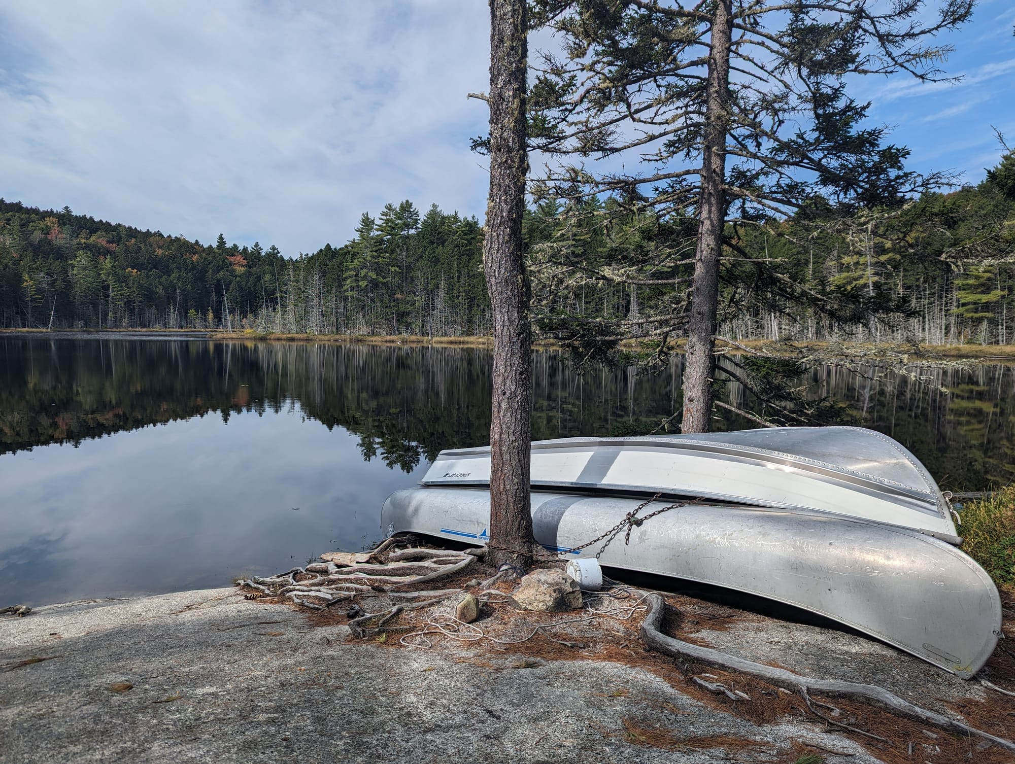
The Wilderness gave us reasons to stop instead of reasons to hurry.
Katahdin
For most of the Appalachian Trail, Katahdin had been a name, a photograph, and a point at the far end of the map.
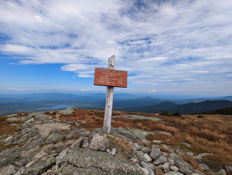
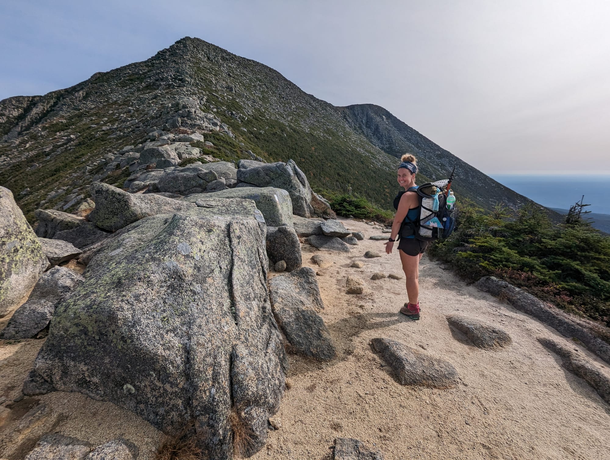
From White Cap, it was suddenly a mountain standing above the lower country ahead, distinct enough that we knew exactly what we were looking at.
The trail drops back into the forest after White Cap, and Katahdin disappears again for a while. It returns near Abol Bridge, where the mountain rises beyond the water and the final approach into Baxter State Park begins.
From there, the AT enters Baxter State Park and continues toward Katahdin Stream Campground. The final official section follows the Hunt Trail to Baxter Peak, climbing from forest into increasingly large boulders and exposed scrambling before reaching the broad Tableland near the summit.
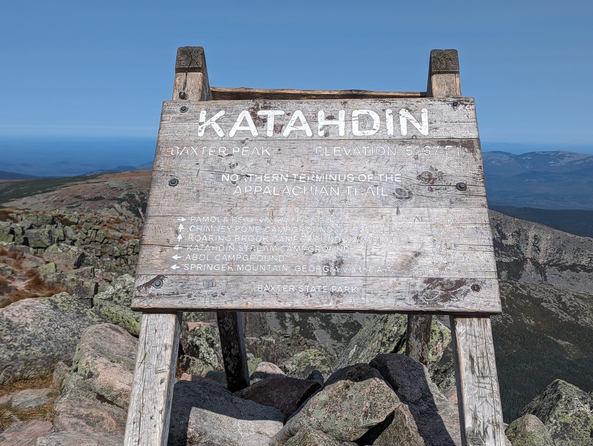
Baxter Peak is the northern terminus of the Appalachian Trail.
Knife Edge continues beyond it along the exposed ridge toward Pamola Peak.
Our plan, if the weather allowed, was to keep going.
🥾 On the Trail
- Mileage pattern: deliberately slow · several short days · one long day to summit
- Food: five days carried from Monson · five-day food drop arranged inside the Wilderness
- Water: abundant · multiple significant river and stream crossings
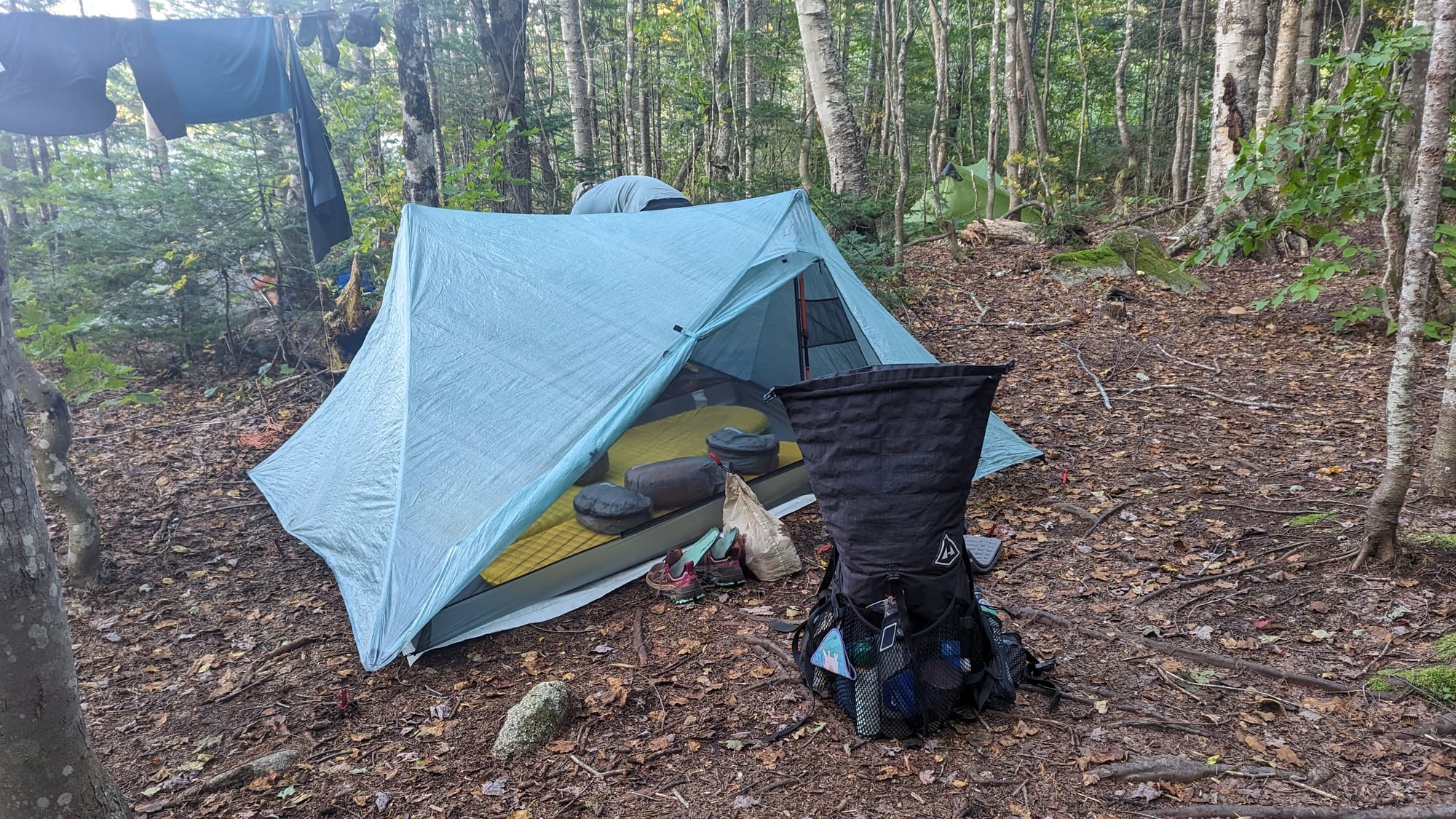
- Camping: shelters · lakeside camps · Baxter State Park
- Best remembered for: the first Katahdin view, Abol Bridge, and finishing across Knife Edge
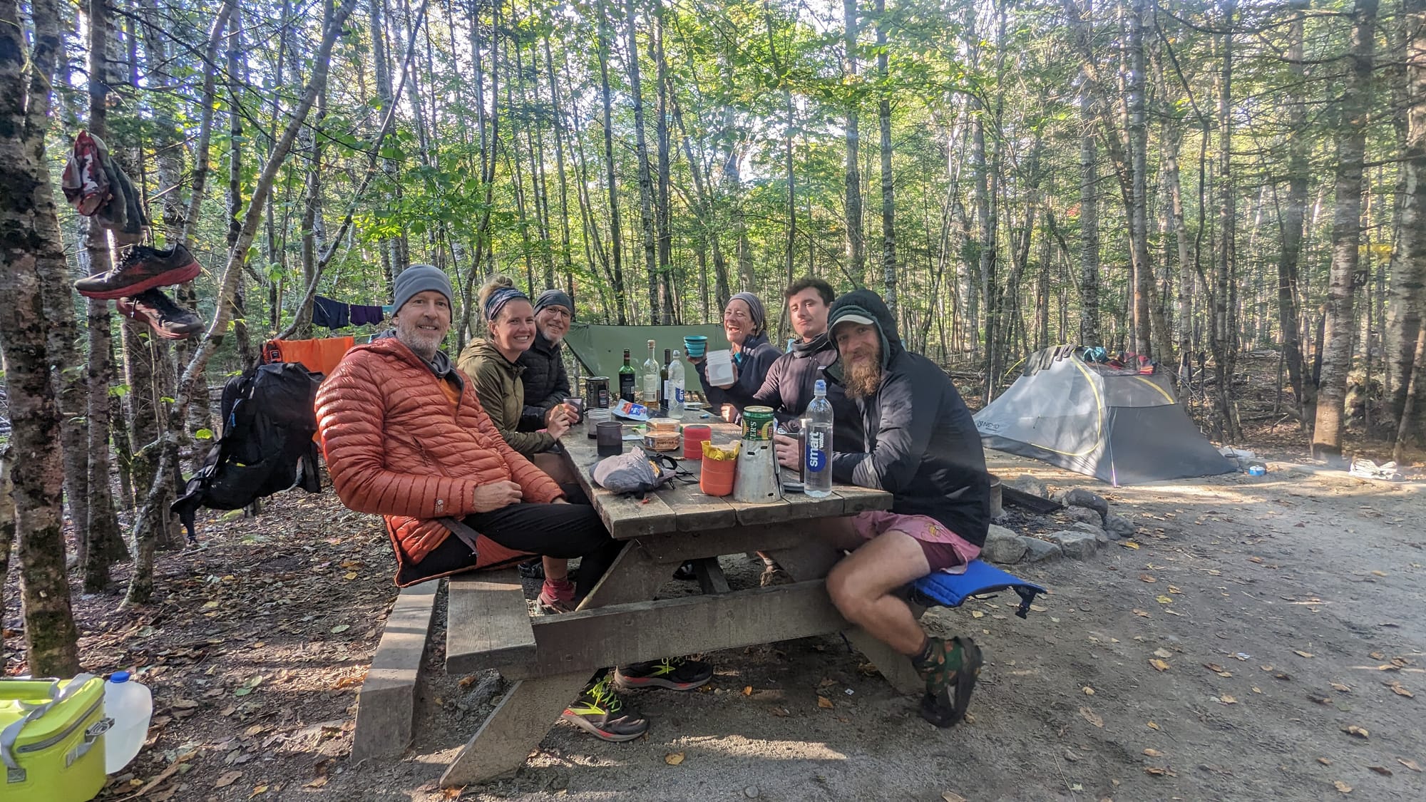
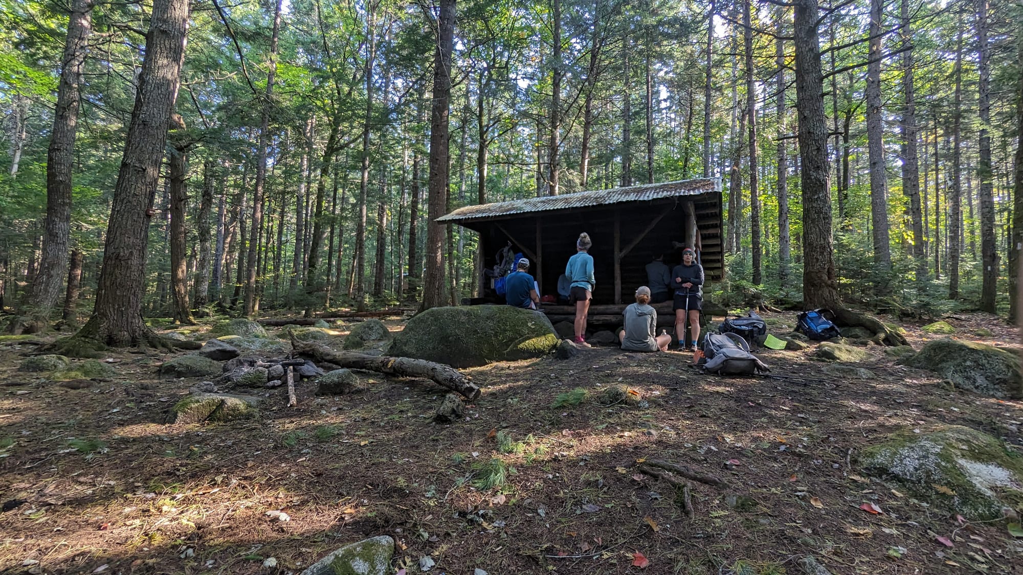
By the final stretch, the trail had become as much about the people as the miles.
Trail Rhythm
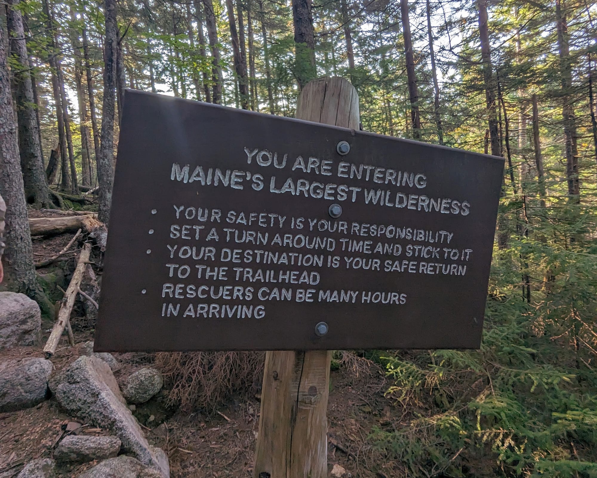
The warning sign outside Monson made the Wilderness sound serious.
Carry enough food. Be prepared. Services are limited. Help is farther away.
Then the 100-Mile Wilderness turned out to be considerably more hospitable than we expected.
We had cell service through much of it. We received trail magic three different times. At one point we walked past an entire film production operating in the woods.
It was remote, but it never produced the isolation we had built up in our heads.
Water presented a more immediate problem.
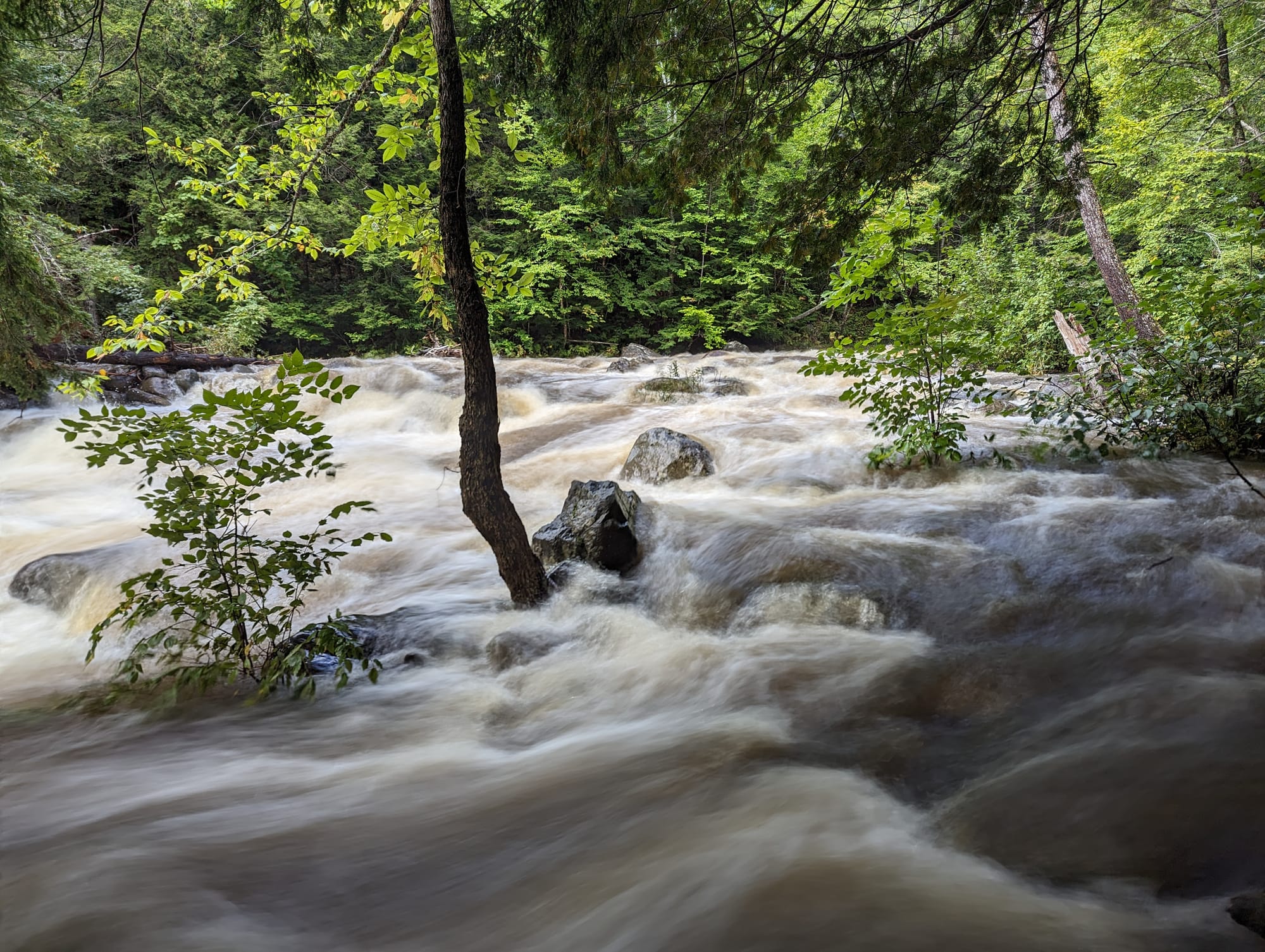
On our second day, heavy rain fell overnight while we were sleeping in a shelter. Hikers tenting in front of us woke to water running underneath their tents.
We looked at the amount of rain and chose the longer high-water route around an upcoming river crossing. The detour added several miles, and even there we spent stretches walking through water near our knees.
When we eventually reached the river we had avoided, there was no question that we had made the right call. The water was fast, deep, and far beyond anything we wanted to ford.
Other crossings still required some work. At one, we strung a line between trees and moved our packs across separately before making the crossing ourselves.
Mud, roots, and water became the rhythm of the Wilderness.
But we had given ourselves enough food to stop when the trail gave us a reason.
One afternoon, that happened after only about five and a half miles.
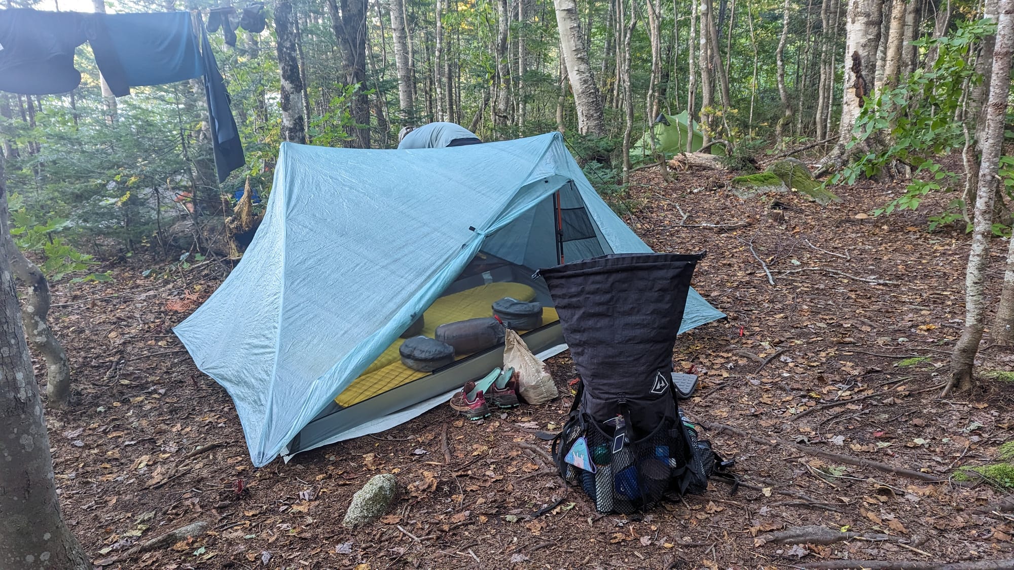
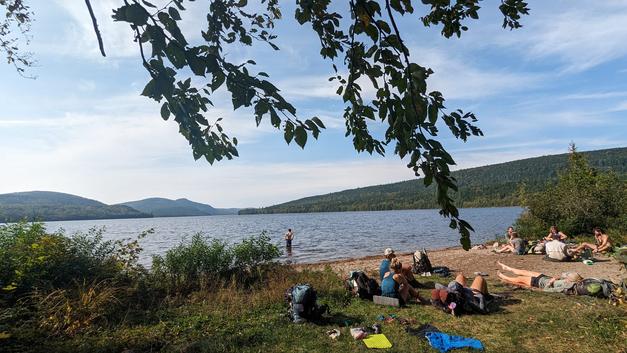
We reached Antler Campsite at the end of a peninsula and found an almost perfect spot beside the water. The tents went up early. We built a large fire and stayed there for the rest of the day.
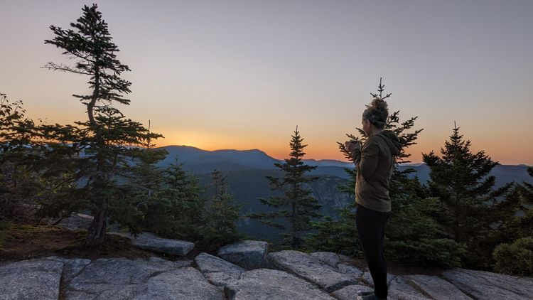
The sunset stretched across the lake. Loons started calling after dark.
There was nowhere else we needed to be.
After months when almost every day had involved making progress north, that afternoon became one of my favorite days in the entire Wilderness.
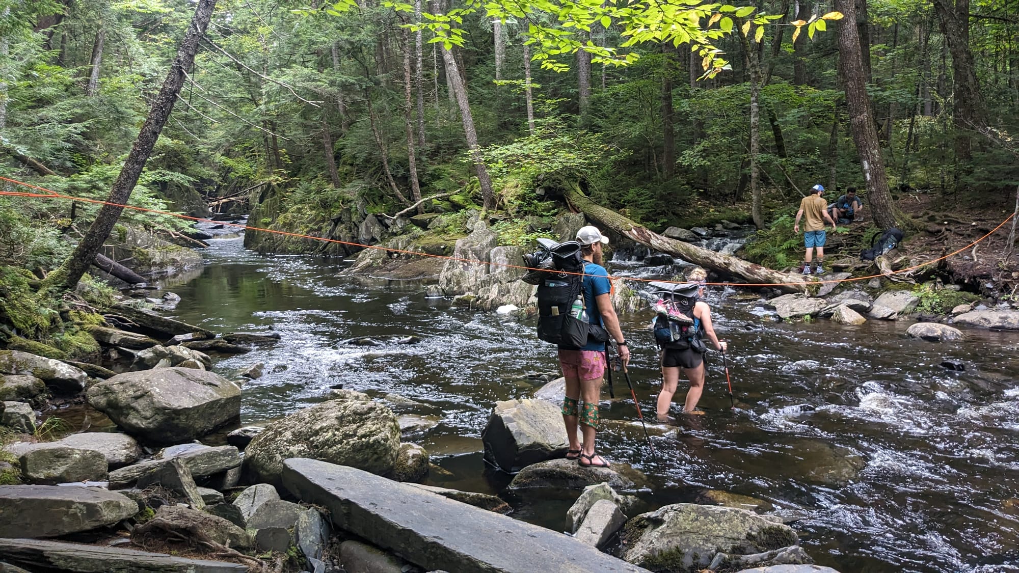
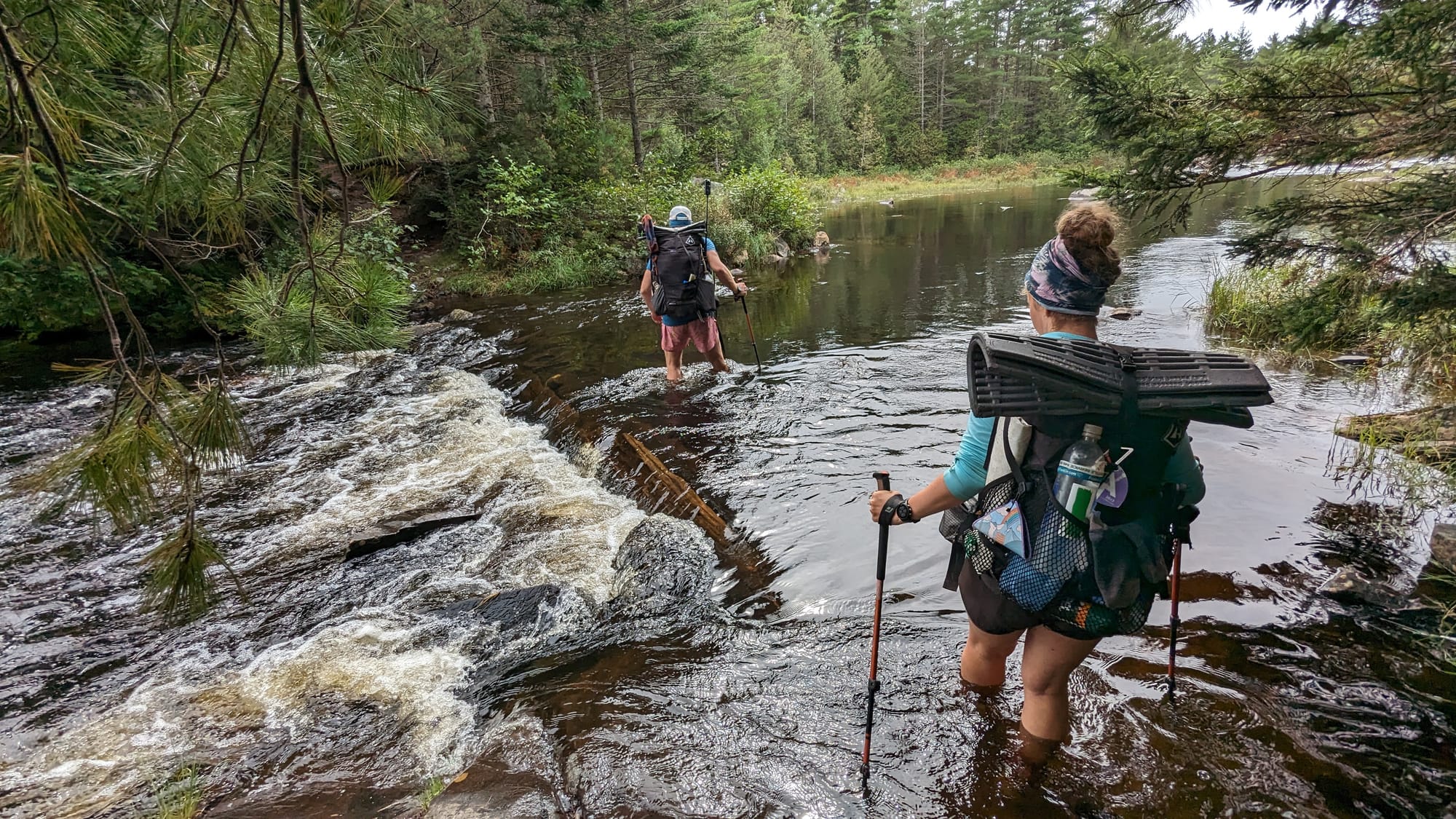
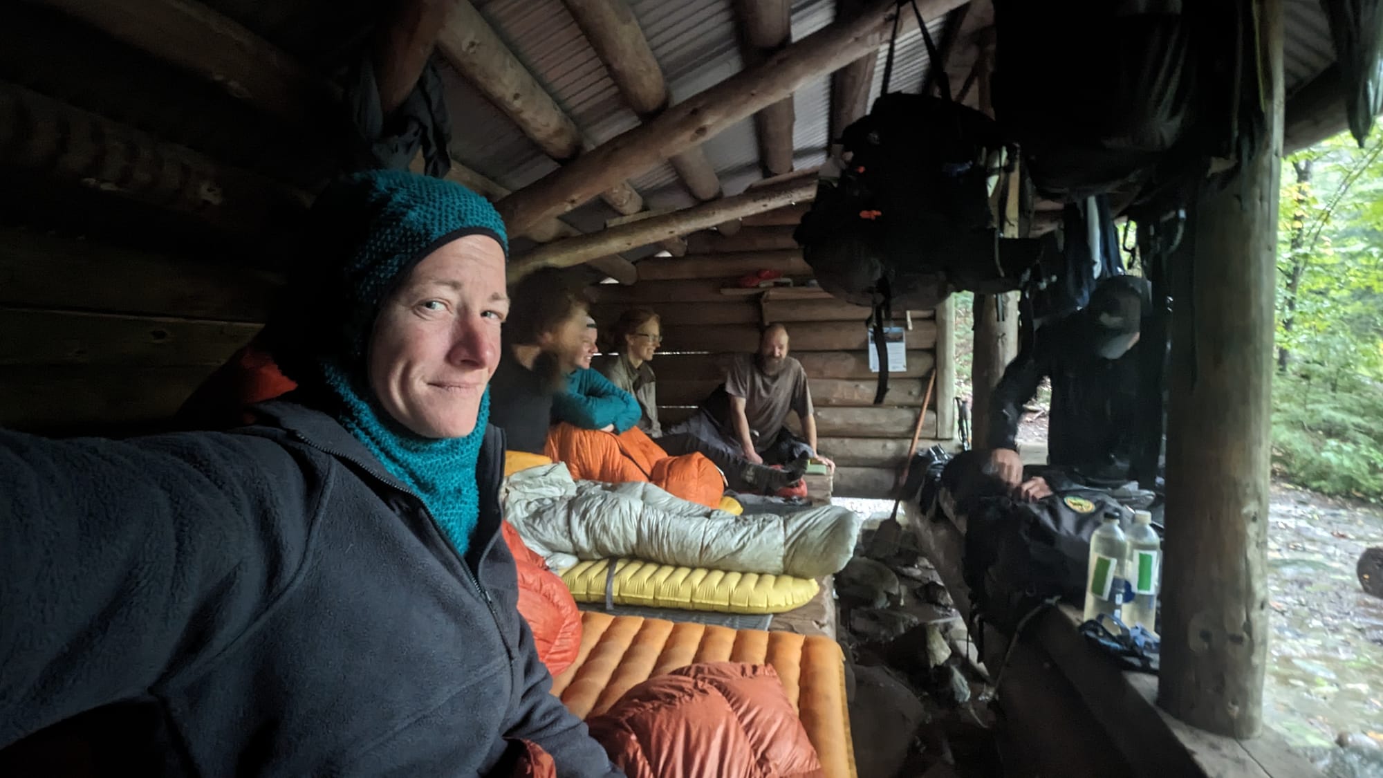
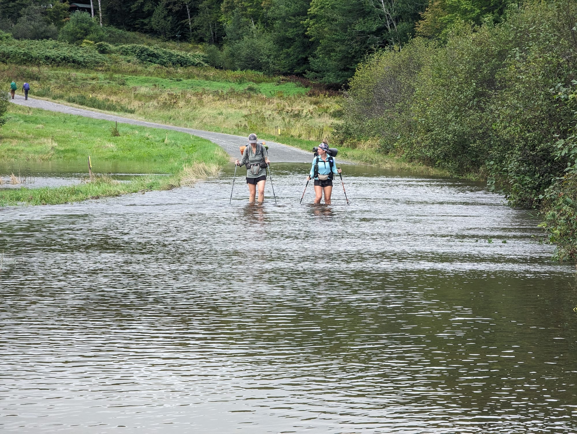
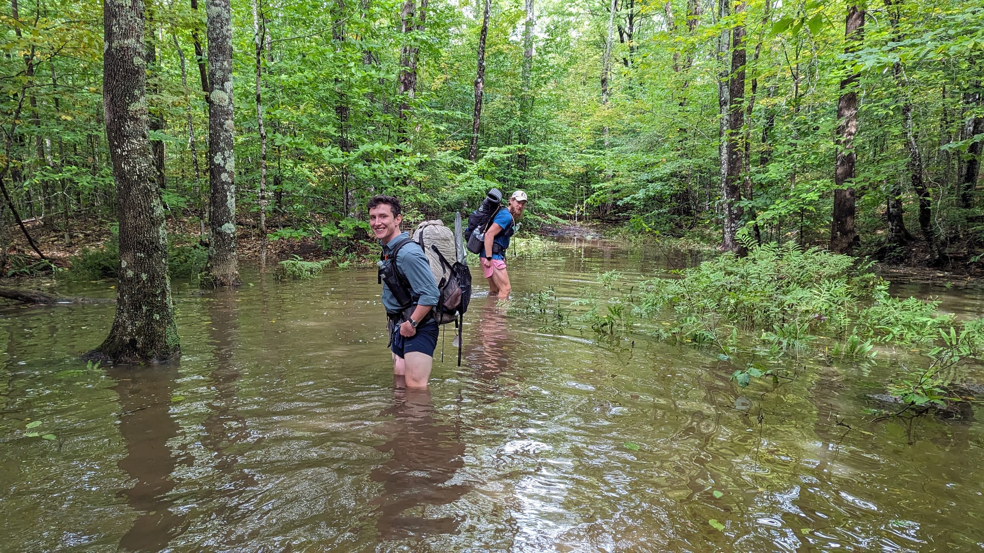
this was the 'high water' route
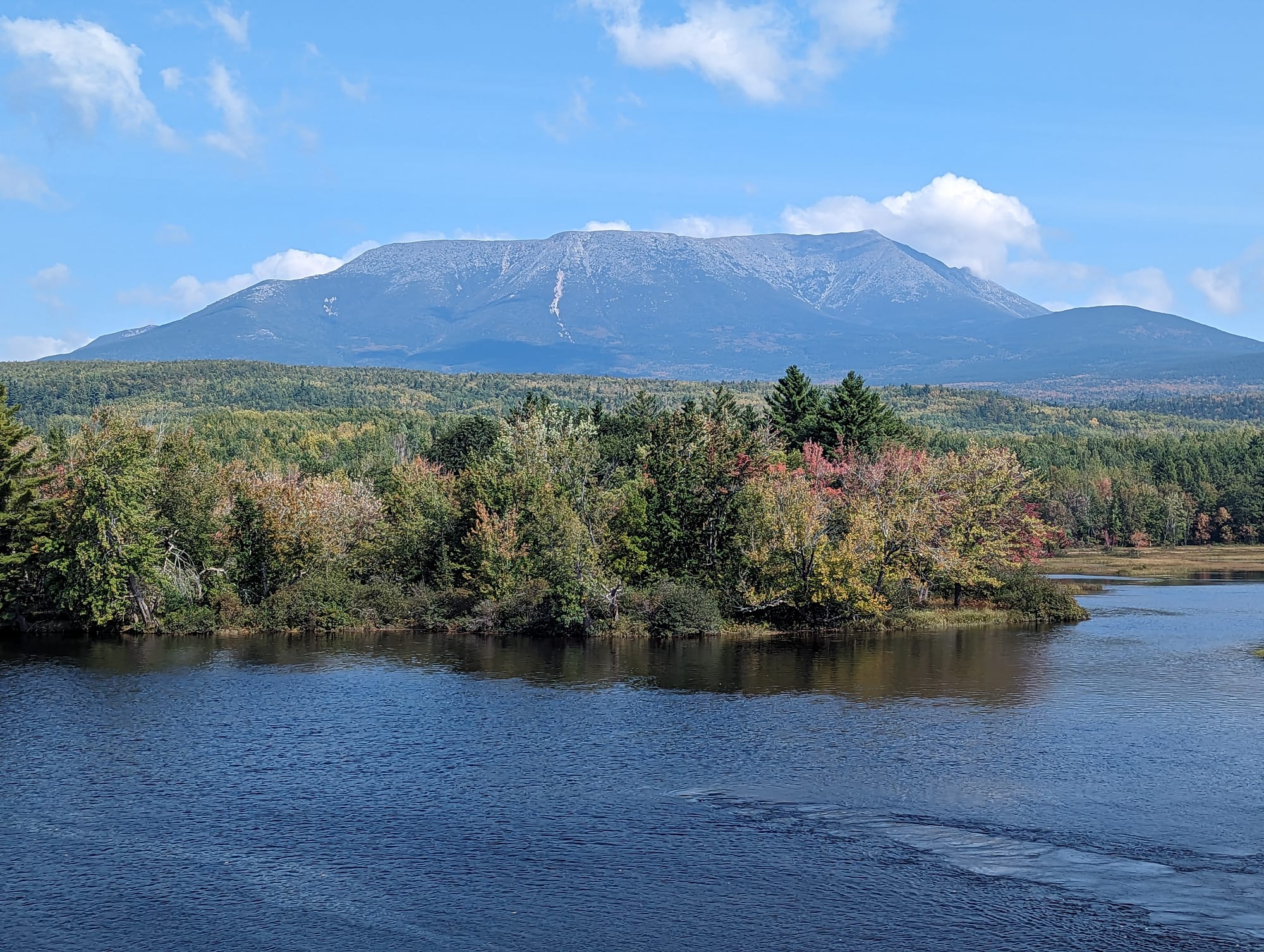
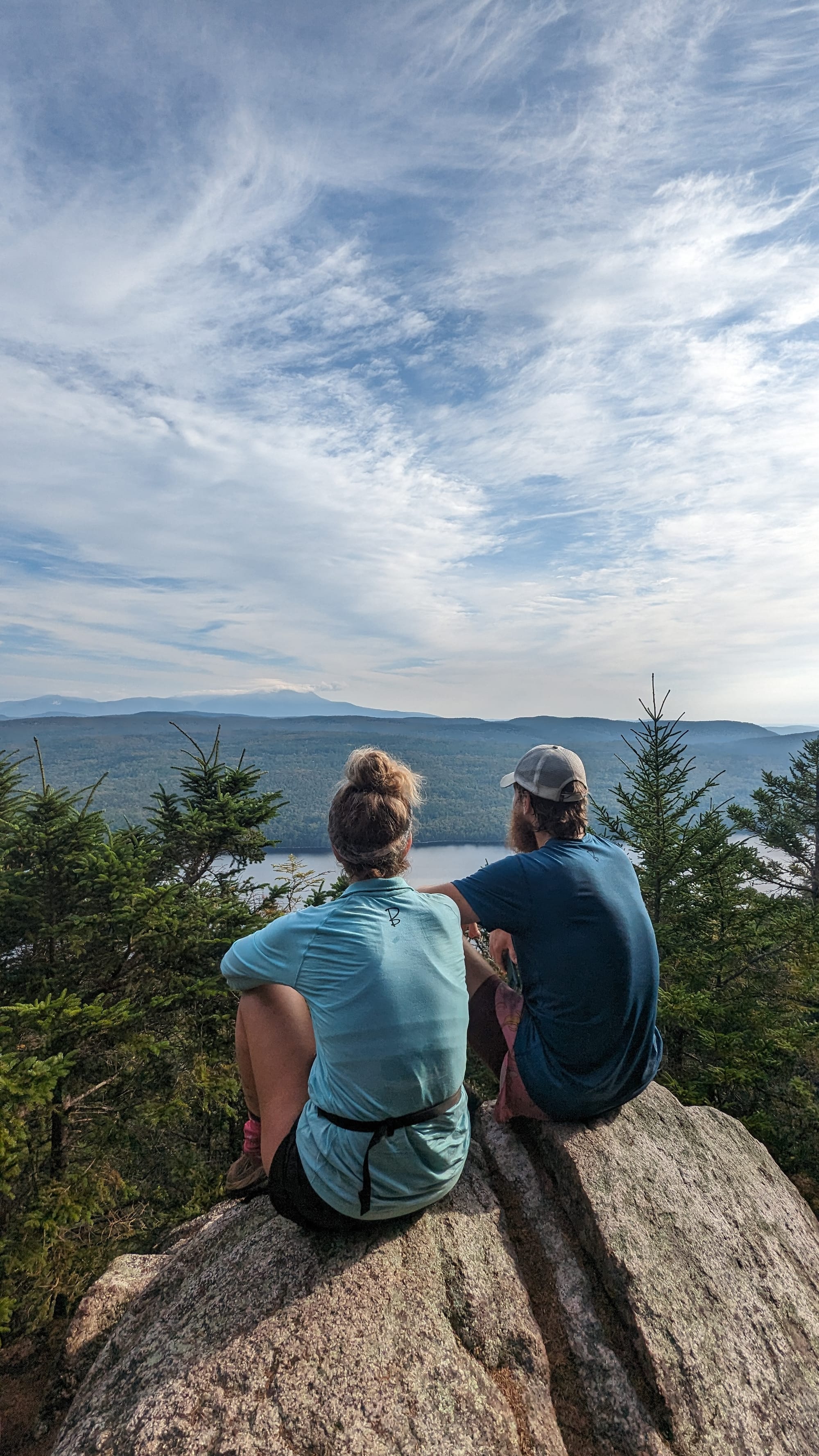
Then White Cap put Katahdin on the horizon.
We recognized it immediately.
For the first time, the mountain at the end of the trail was actually standing in front of us.
The image reminded me of Frodo finally seeing Mordor from a distance. The goal that had existed somewhere far away for months had become a specific place. We could see where we needed to go.
By late September, color was beginning to work into the trees around the water. The mountain rose behind them, isolated above the lower landscape.
That view remains one of the clearest images I have from the entire trail.
A night or two earlier, we had crossed paths again with two section hikers we first met at Shaw's. They had reservations inside Baxter State Park and enough room for us to join them.
We had deliberately avoided locking ourselves into a Baxter date because we did not know exactly when we would arrive or who would still be hiking with us. Their reservation solved that final piece almost by accident.
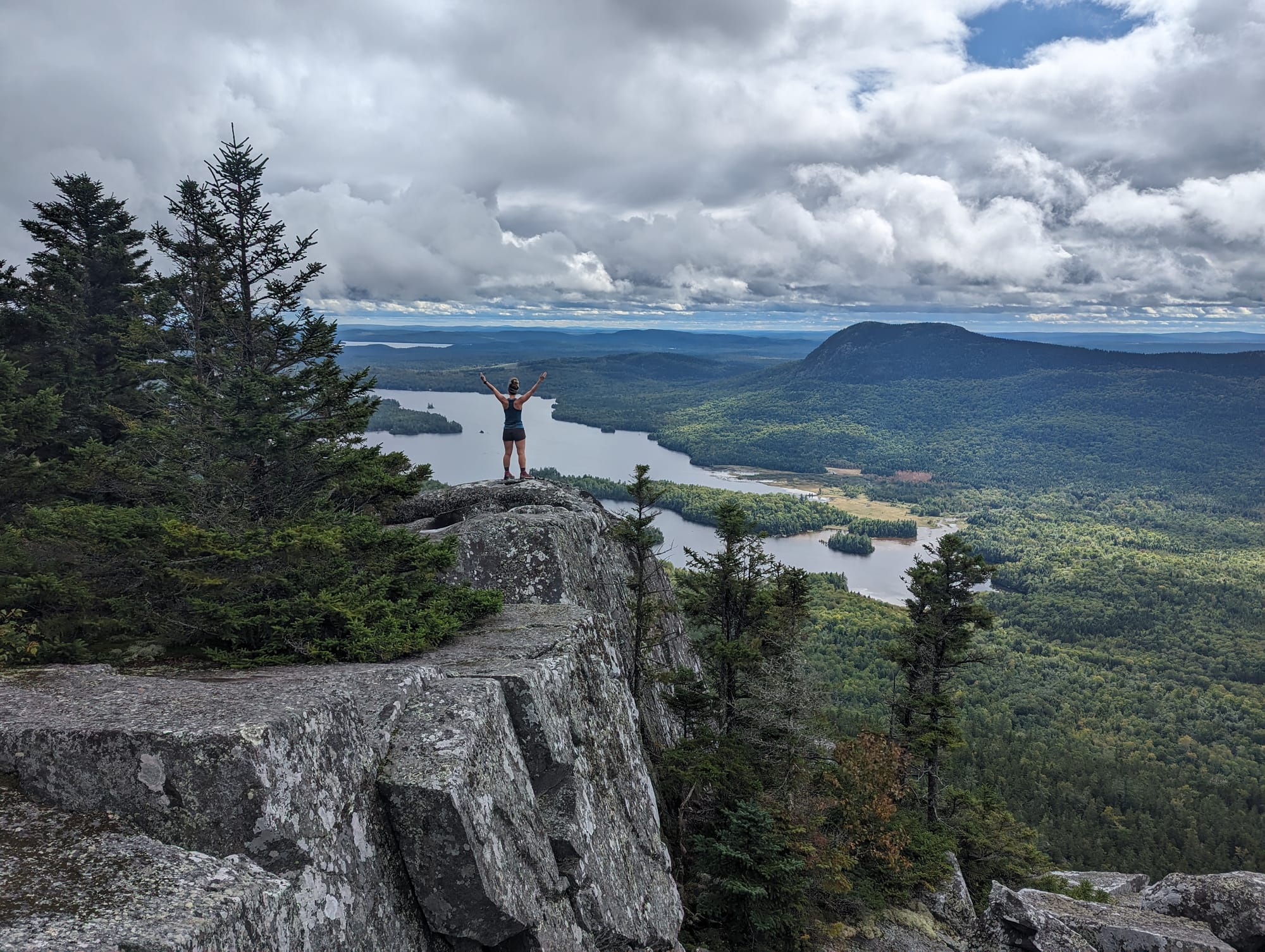
Inside Baxter, we registered for our summit, ate dinner, and set up camp.
Nobody slept particularly well.
Six months had narrowed down to one morning.
The Final Day
We woke around 5 am, ate breakfast, and checked the weather.
It was beautiful.
September 26, 2023.
Because the conditions were good, we committed to the longer plan. Instead of leaving our full packs behind and returning down the Hunt Trail, we would carry everything over Katahdin, cross Knife Edge to Pamola Peak, and descend the other side.
We had carried those packs over every other mountain between Georgia and Maine.
We wanted to carry them over the last one too.
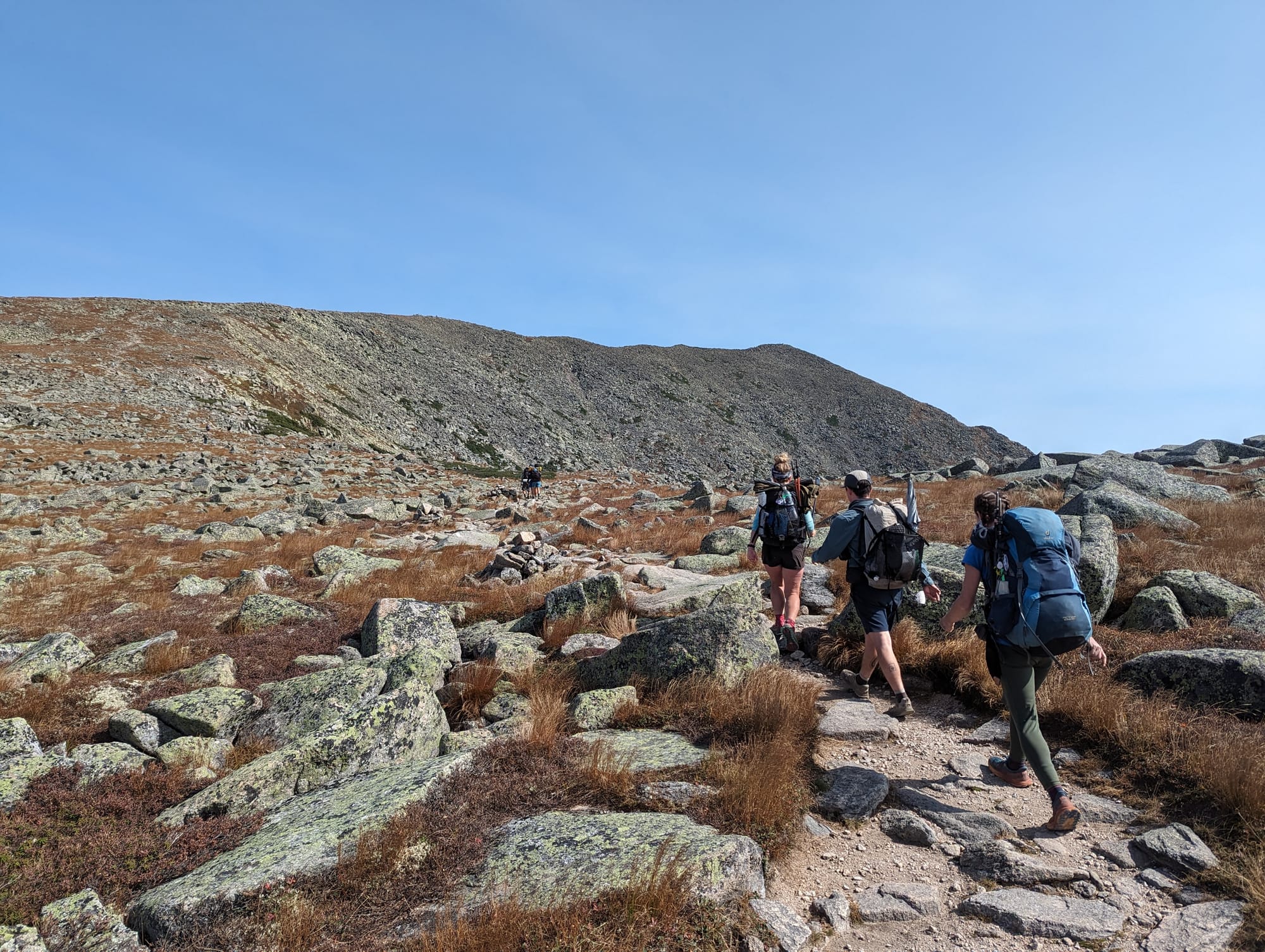
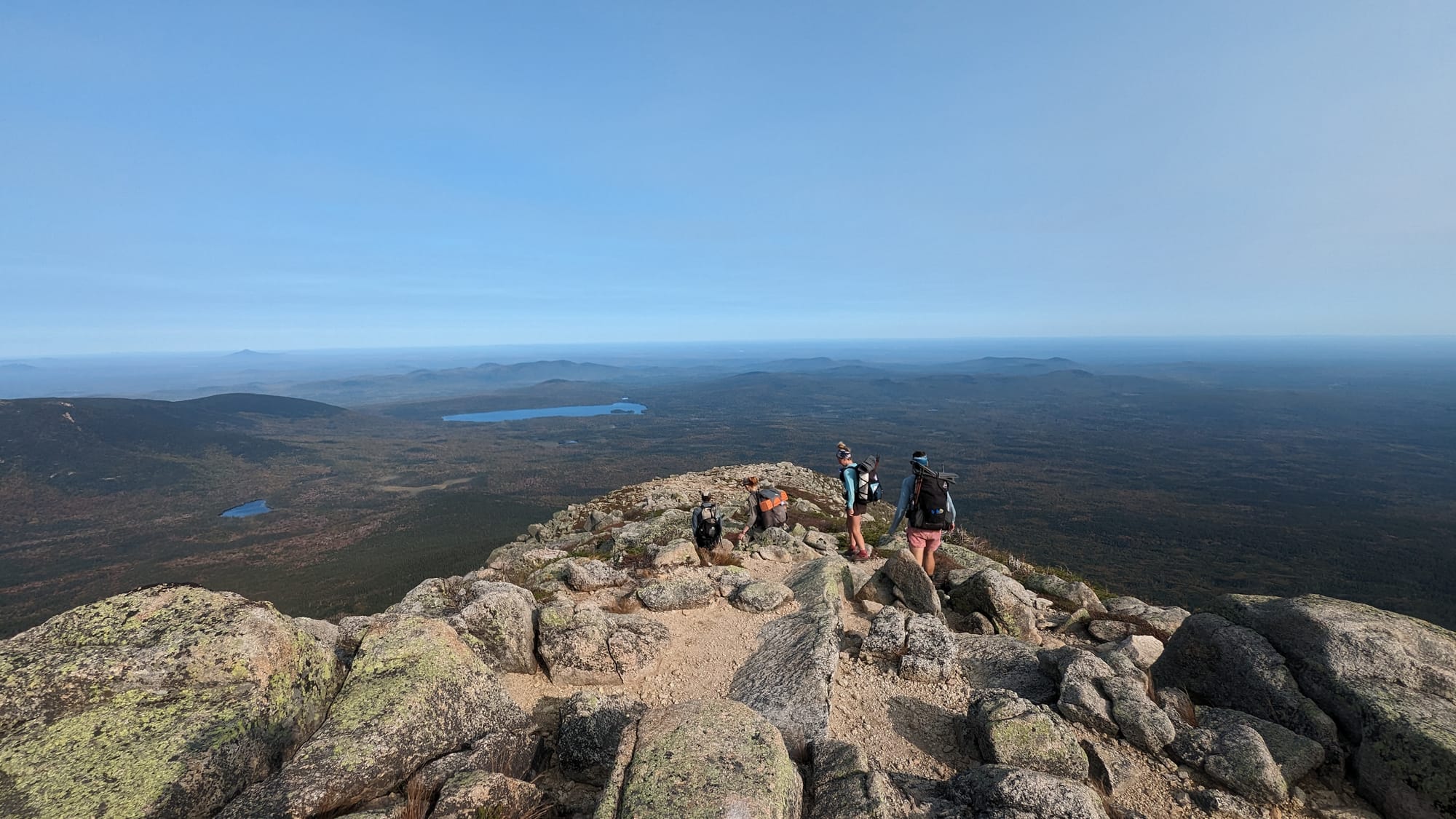
The climb up the Hunt Trail was busier than much of the hiking we had done in Maine. Day hikers, other thru-hikers, and summit groups were all moving toward the same place.
For me, the climb felt strangely automatic.
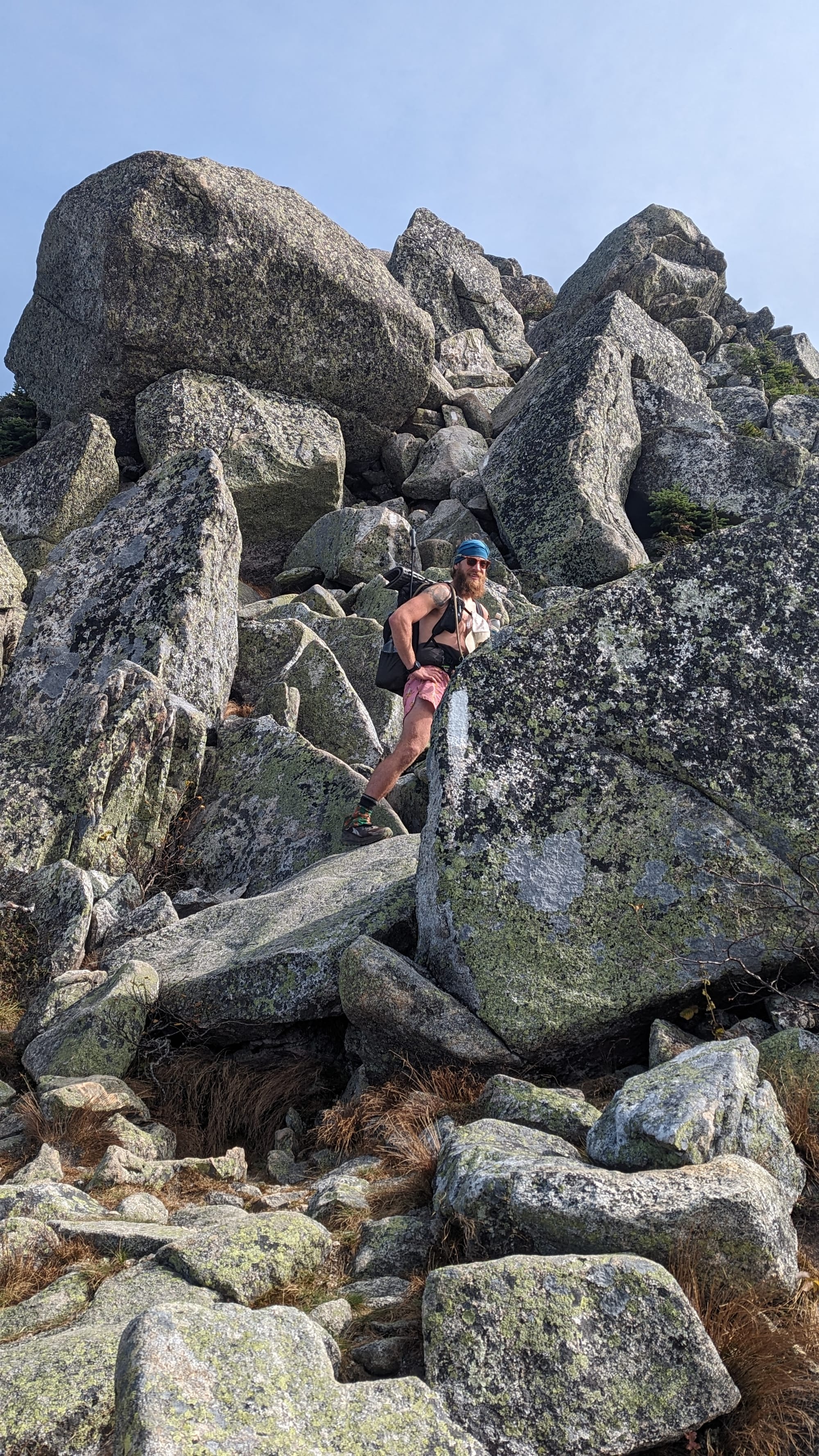
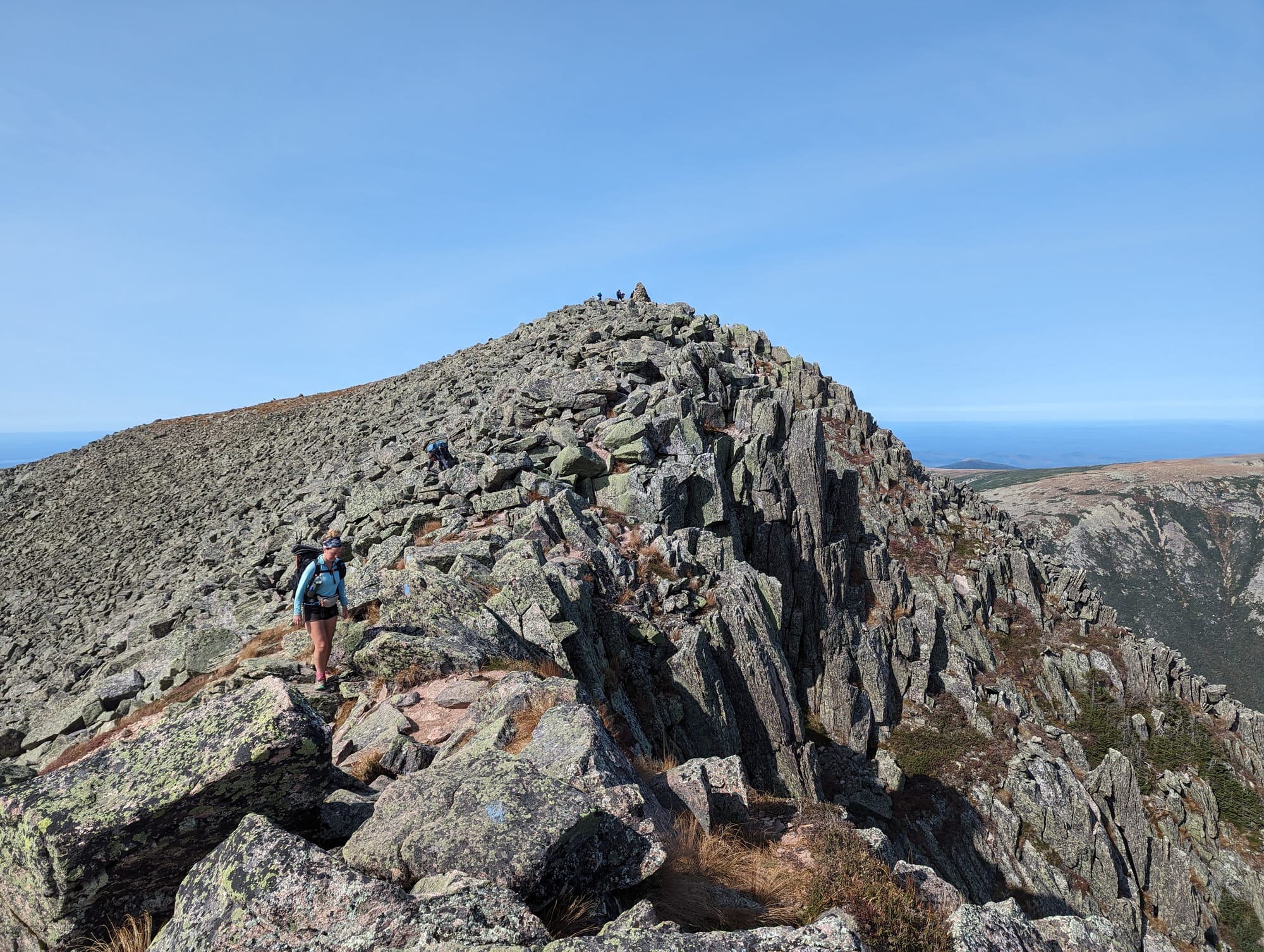
Forest became rock. Rock became larger boulders. Hiking became scrambling.
There was nothing left to conserve energy for.
The Tableland eventually flattened the route near the top. Katahdin stood almost alone above the surrounding country, with Maine stretching away below us.
Then we started seeing people gathered ahead.
We could hear cheering.
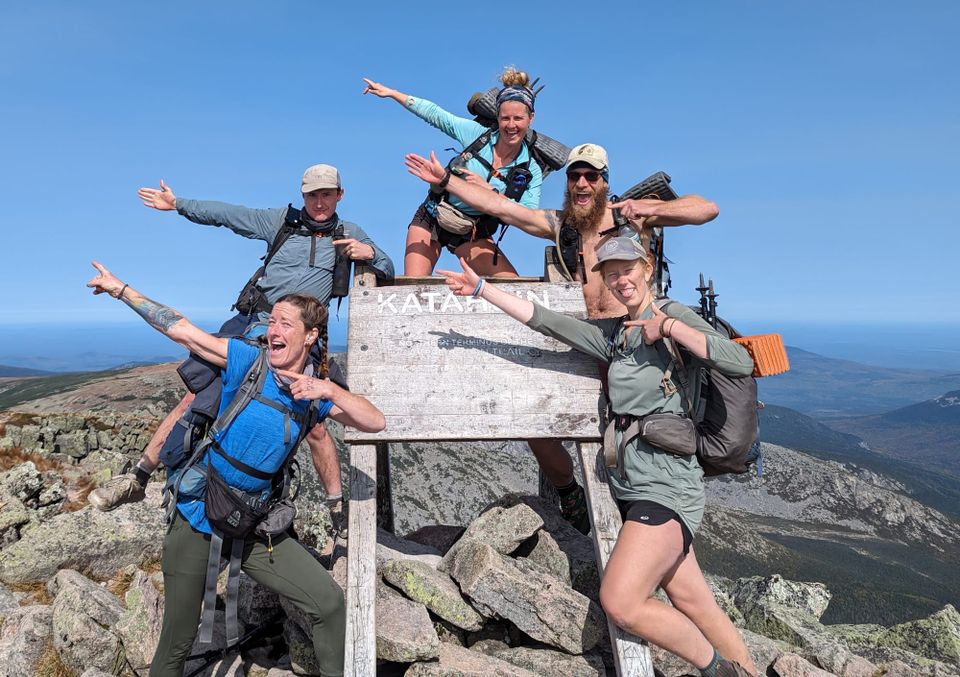
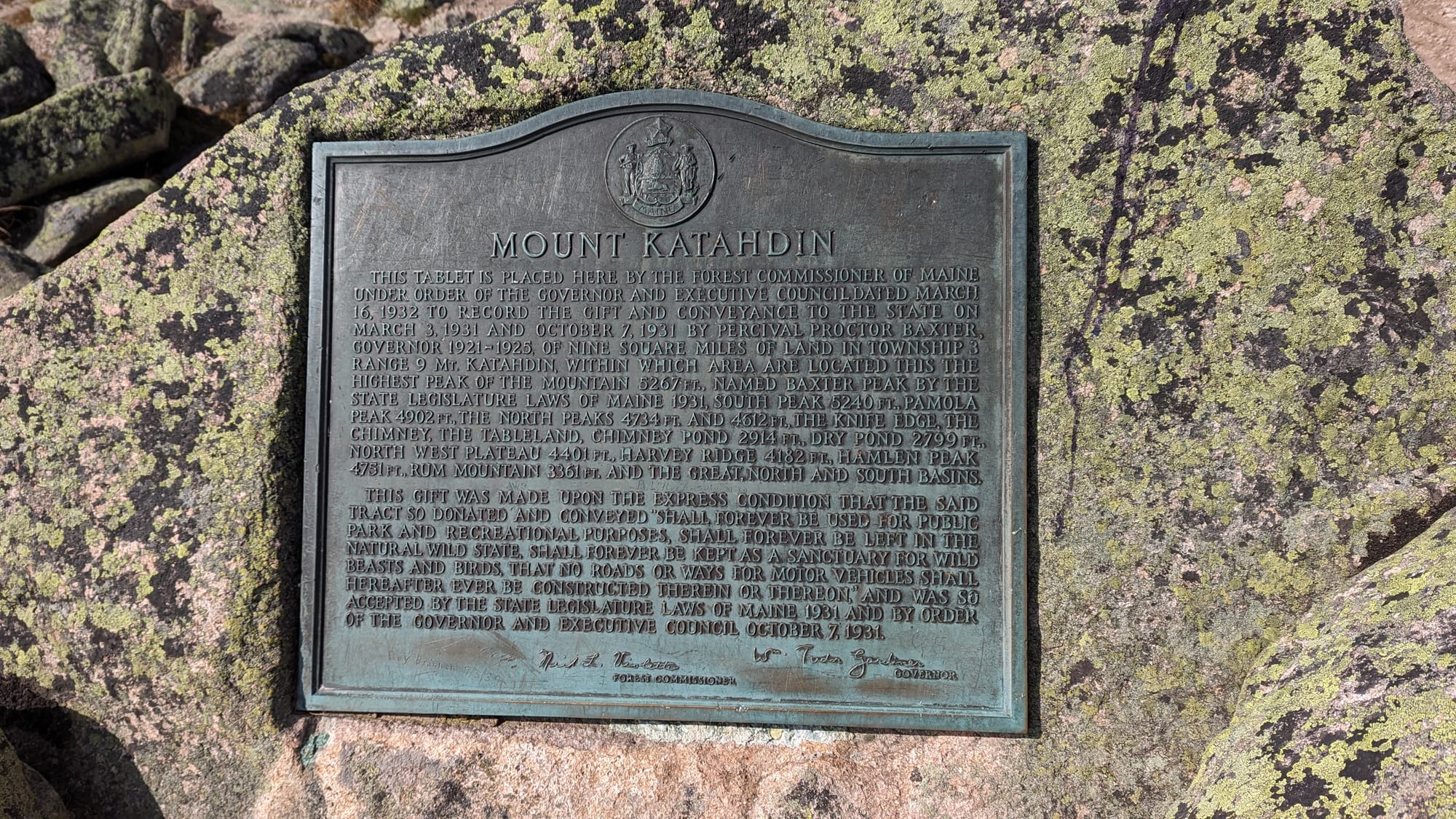
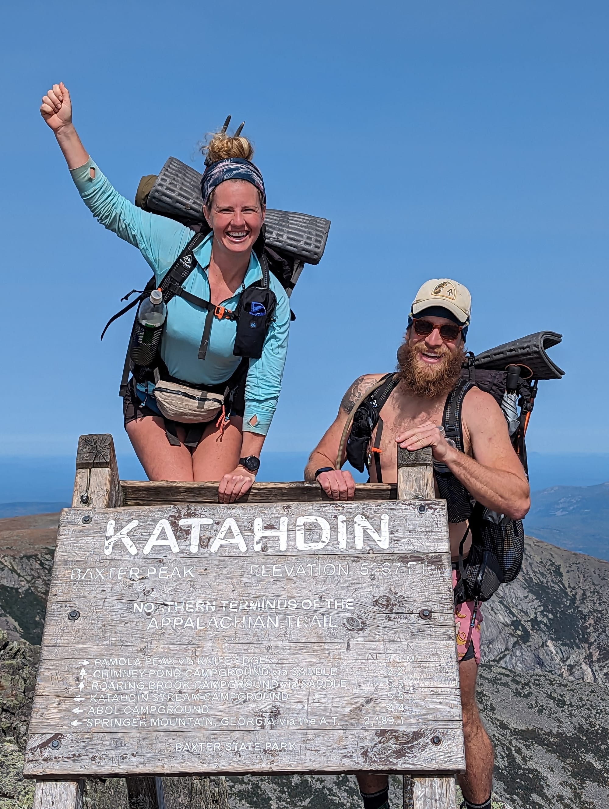
And finally we saw the sign.
I had imagined that moment plenty of times and expected some huge emotional release.
Instead, I put my hands on the Katahdin sign and mostly felt numb.
We were here.
Sunshine and I had never spent much of the trail wondering whether we were capable of finishing. We had decided to hike the Appalachian Trail, and the job was to keep moving north until we did.
Now there were no northbound AT miles left.
More than two thousand miles of ordinary decisions had accumulated into one place.
Wake up. Pack. Walk. Eat. Find water. Find camp. Deal with whatever happened. Do it again the next day.
Eventually, that routine had carried us from Georgia to Maine.
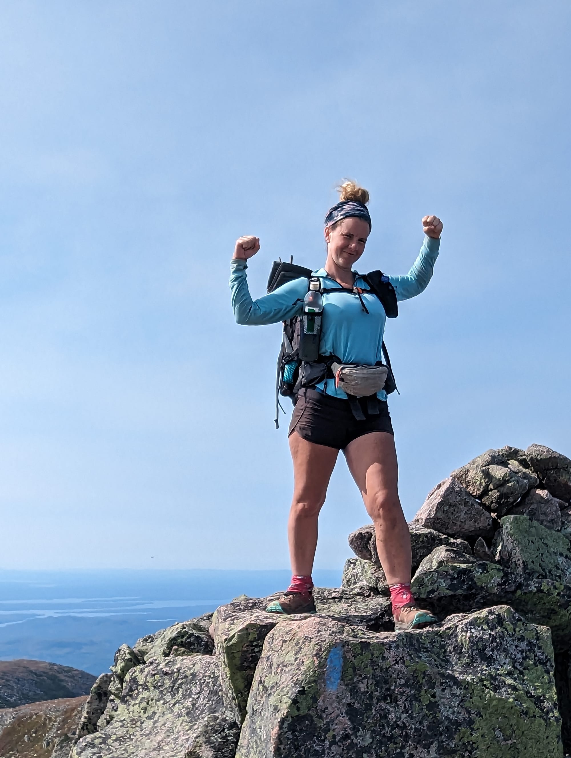
We took our photos, sat with the group, climbed around the sign, and enjoyed the summit.
Then we shouldered the packs again.
The Appalachian Trail was finished.
Our hiking day was not.
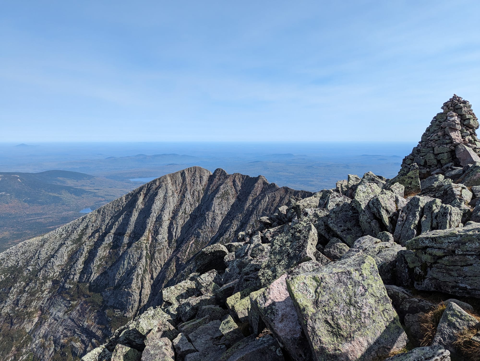
Knife Edge
Knife Edge was one of the slowest miles of the entire trip.
The ridge narrowed into exposed boulders with steep drops falling away on both sides. Progress became hands, feet, packs, and deliberate movement.
At the Chimney, carrying full packs became a problem. We lowered them individually with a line, climbed down without them, crossed the obstacle, then hauled them back up.
There were places where the exposure made the consequences of a bad step obvious.
I loved it.
Sunshine loved it.
Bubbles absolutely did not.
She had always been uncomfortable with heights, and Knife Edge pushed that fear about as far as it could go. There were tears and moments when she clearly wanted to be anywhere else.
But she kept moving.
Step after step, she crossed the entire ridge.
Two other hikers who were uncomfortable with the exposure asked if they could stay with our group, so we moved across together.
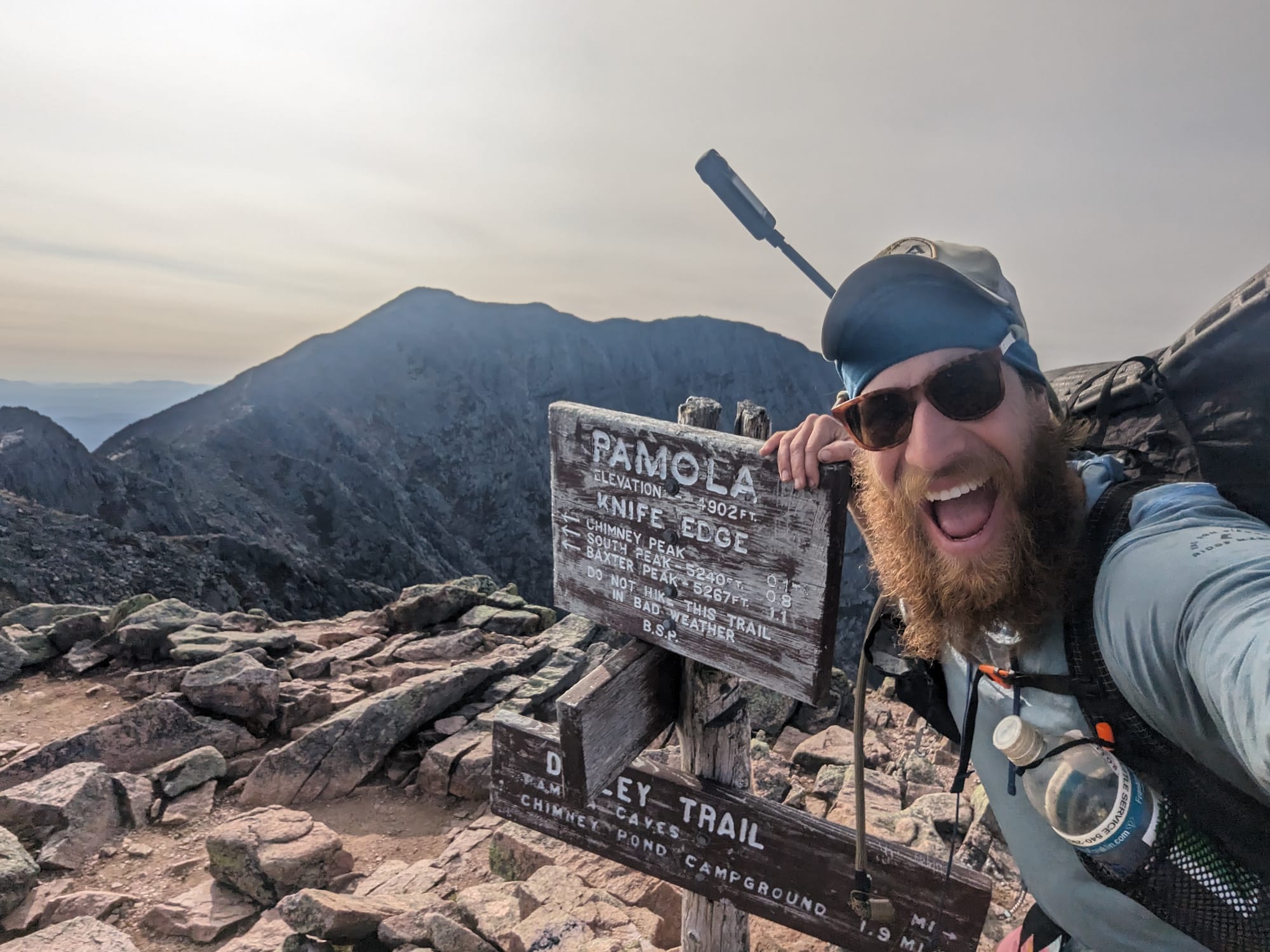
Eventually we reached Pamola Peak.
Looking back across Knife Edge was almost as satisfying as reaching Baxter Peak. We could see the ridge we had crossed and, on the other side of it, the summit where the Appalachian Trail had ended.
Then we still had to get down.
Savage's mom was waiting for us on the other side of the mountain. Our estimate of how long Knife Edge and the descent would take had been optimistic.
We arrived roughly three and a half hours late.
By then, knees and backs were finished.
On the way down we kept circling around one piece of thru-hiker logic.
You are not a thru-hiker until you complete a thru-hike.
But once you complete it, you are no longer thru-hiking.
Somewhere on Katahdin, we had crossed that line.

Post Trail
Savage's mom picked us up, and we eventually made our way to Millinocket.
We showered, found food and a beer, returned to the hostel, and crashed.
The following morning was stranger than summit day.
There was nothing to pack.
No mileage target.
No reason to put everything we owned back into our backpacks and start walking north.
Instead, our new problem was figuring out how to get home.
We hitchhiked out of Millinocket, took two buses to Boston, rented an SUV, and started driving toward Ohio.
But we had one more stop to make.
In Pennsylvania, we picked up a Tamaskan puppy we had arranged for while still on the trail.
We named her Ktaadn.
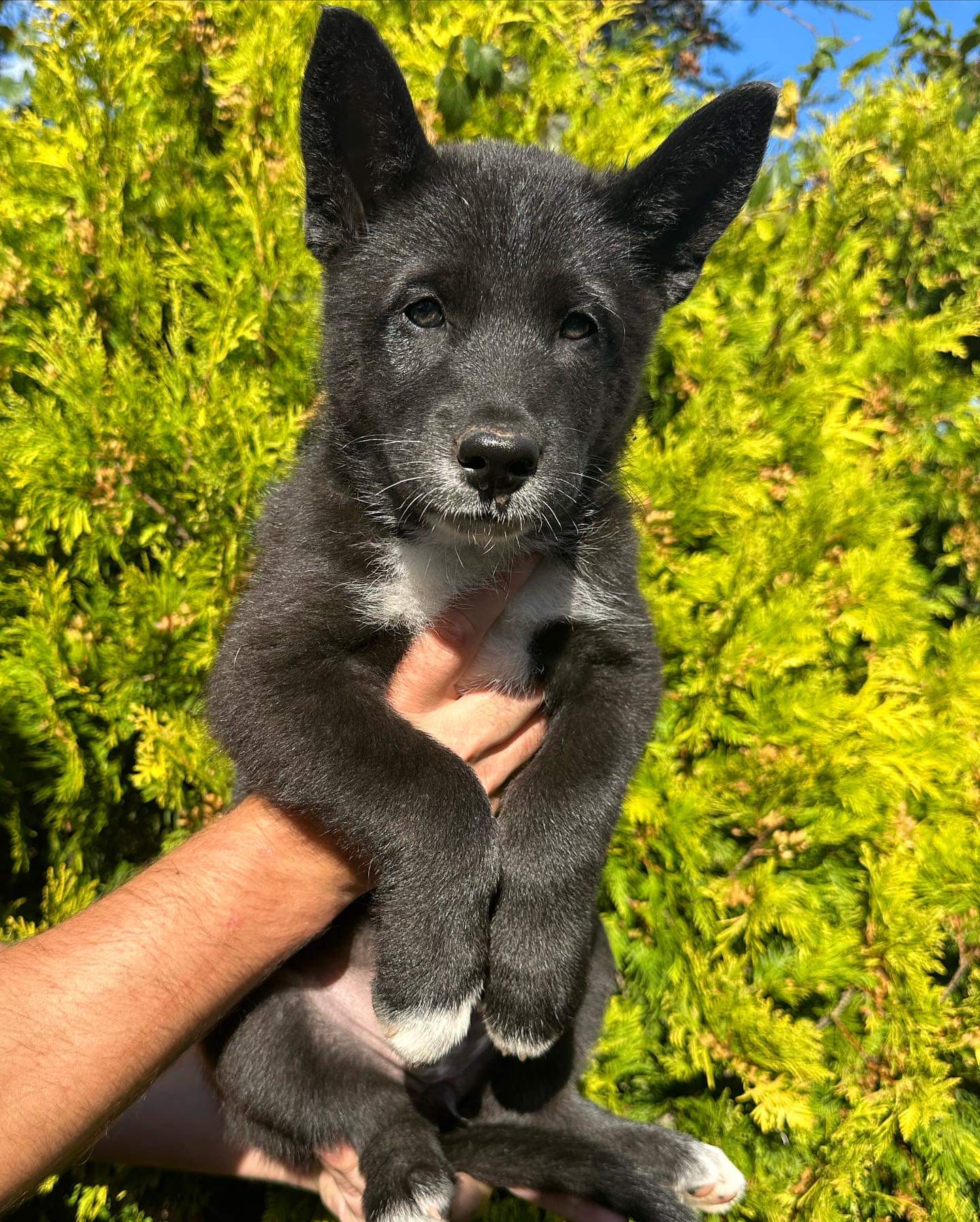
The timing had worked out almost perfectly. We had spent months talking about getting Akela another dog after seeing how social she had become on the trail. A puppy became available the same weekend we finished.
So after six months away, Akela got Sunshine and me back.
She also got an unannounced puppy.
Neither she nor my mom was particularly impressed.
Civilization itself took awhile longer to adjust to.
Everything was loud.
Cars. Stores. Lawn mowers. Normal background noise that we had mostly stopped hearing for six months suddenly felt turned up too high. For the first week or two, I wore earplugs when we went places.
We stayed with my parents in Ohio for a couple of months, helped renovate their house, and started figuring out what came next. By December, Sunshine had accepted a new job and we were moving back to South Florida.
Work returned.
Apartments returned.
Normal life returned.
For now...
Post trail you miss the simplicity
⚡ TL;DR
- Section identity: the final push through the 100 Mile Wilderness and summiting Mt. Katahdin
- Hardest part: high water through the Wilderness and carrying full packs across Knife Edge
- Best part: slowing down for the lakes, seeing Katahdin from White Cap, and finally putting our hands on the Baxter Peak sign
- Most useful lesson: being close enough to finish was finally a reason to slow down
- Place in the larger hike: where six months of walking toward Katahdin finally became standing on it
Final Takeaway
Three years later, the summit is not the only part of the Appalachian Trail that stayed with me.
I remember ponies appearing through the fog in Grayson Highlands, rain hammering us in Pennsylvania, the open ridges of the Whites, loons calling across Maine, and the first time Katahdin appeared on the horizon.
Other weeks have blurred until someone we hiked with mentions a shelter, a joke, or a person and suddenly an entire day comes back.
What I miss most is the simplicity.
For six months, everything we needed fit into our packs. Food, water, shelter, clothes. Most days, the job was obvious: walk north, take care of ourselves and the people around us, pay attention to the weather, and find somewhere to sleep.
Returning to an apartment and regular work made the contrast difficult to ignore. Things accumulated. Schedules filled. Problems that would have seemed irrelevant on trail started taking up space again.
The AT did not make us want to spend every night for the rest of our lives backpacking. But it did make it harder to accept that the usual version of life was the only option.
Within a year, we were seriously talking about another way to live. Remote work. A truck. A trailer. Fewer things. More movement.
Eventually, that became the life we are living now.
I came home from the trail more patient, more interested in the people and places around me, and more confident in what could happen when an enormous goal was broken into ordinary days.
I would hike the Appalachian Trail again.
Maybe next time southbound.
But there can only be one first walk from Georgia to Maine.
Ours ended on Katahdin on September 26, 2023.
The walking stopped there.
But a lot of what came next started there too.