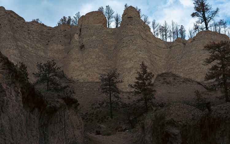
Custer State Park
We had already been using the Black Hills as a base when we finally dedicated an afternoon to Custer State Park.
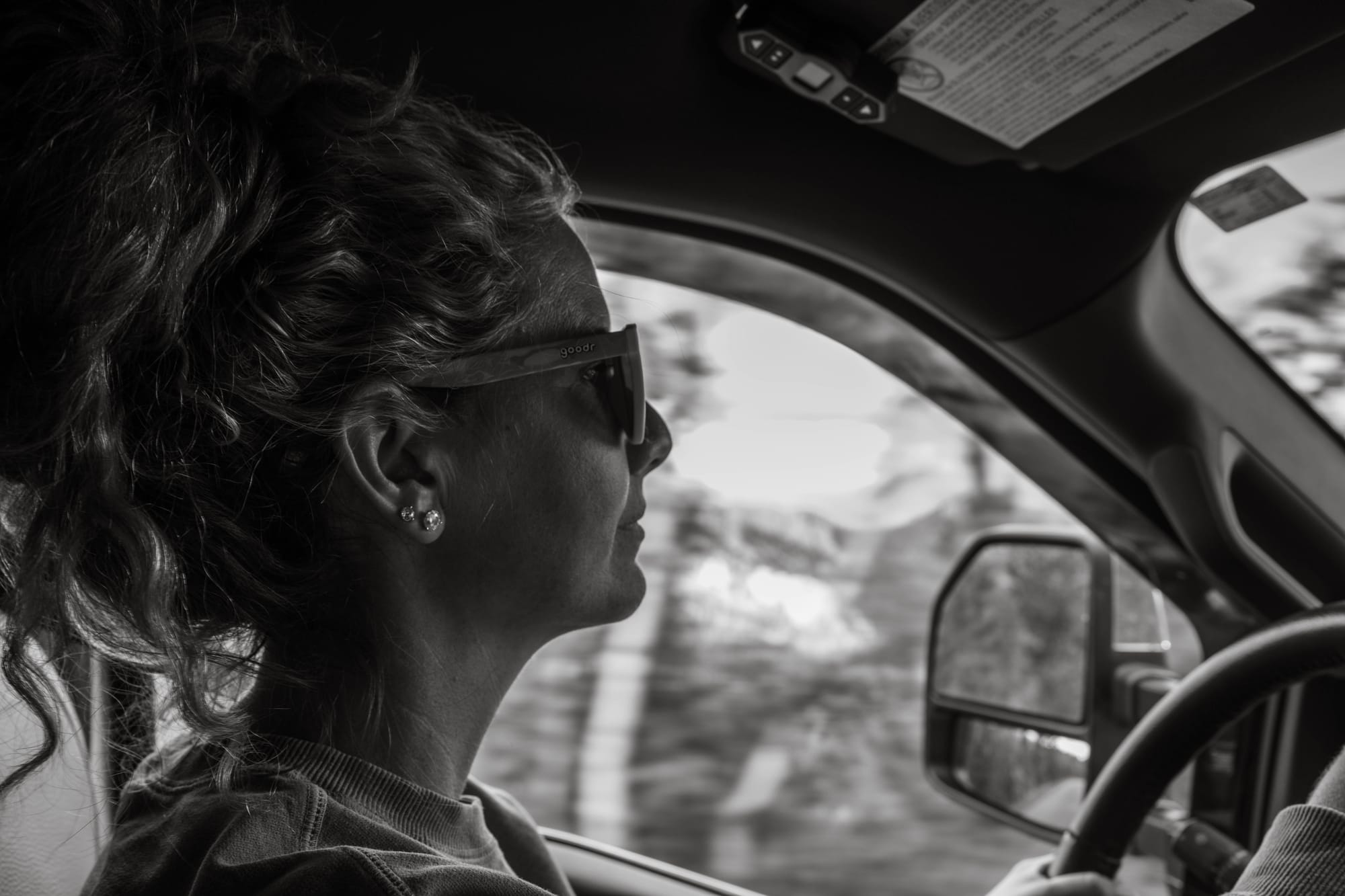
We entered near Sylvan Lake and headed south onto Needles Highway, with Sam behind the wheel and me bouncing between the passenger seat and roadside photo stops.
That arrangement was slightly ridiculous considering Sam had probably driven about 200 miles total in the previous six months.
Apparently the logical next step was one of the twistiest roads in South Dakota.
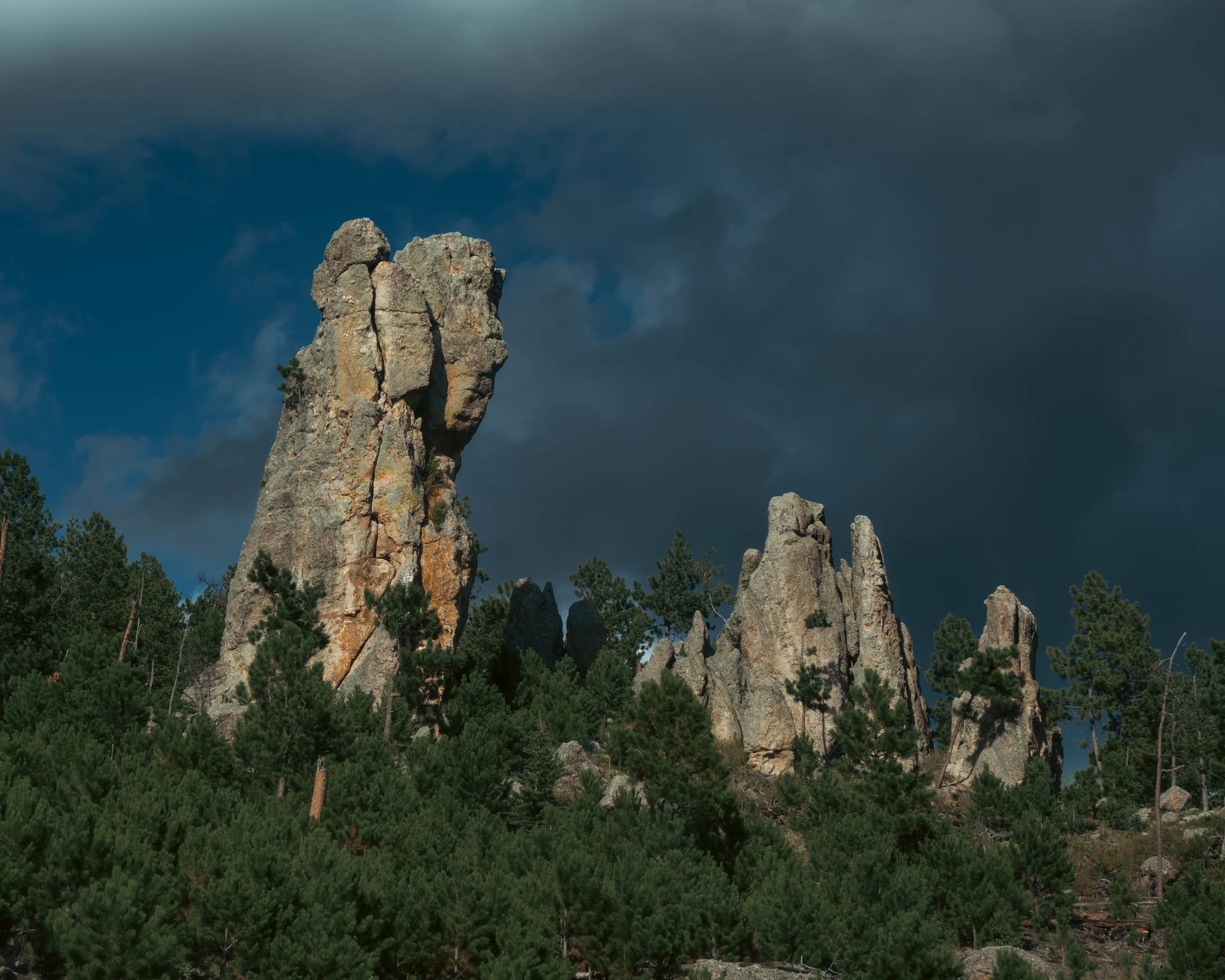
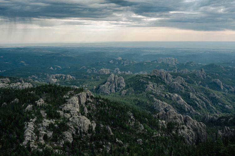
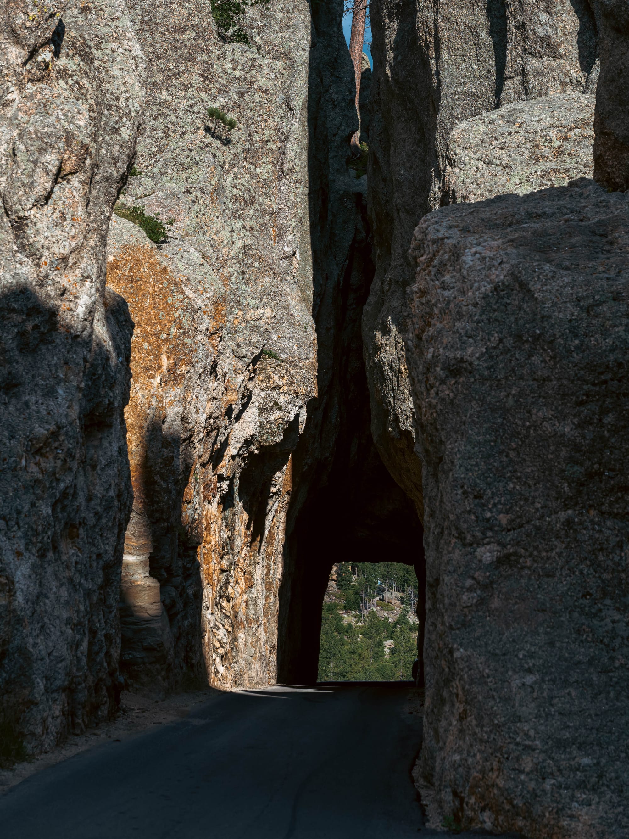
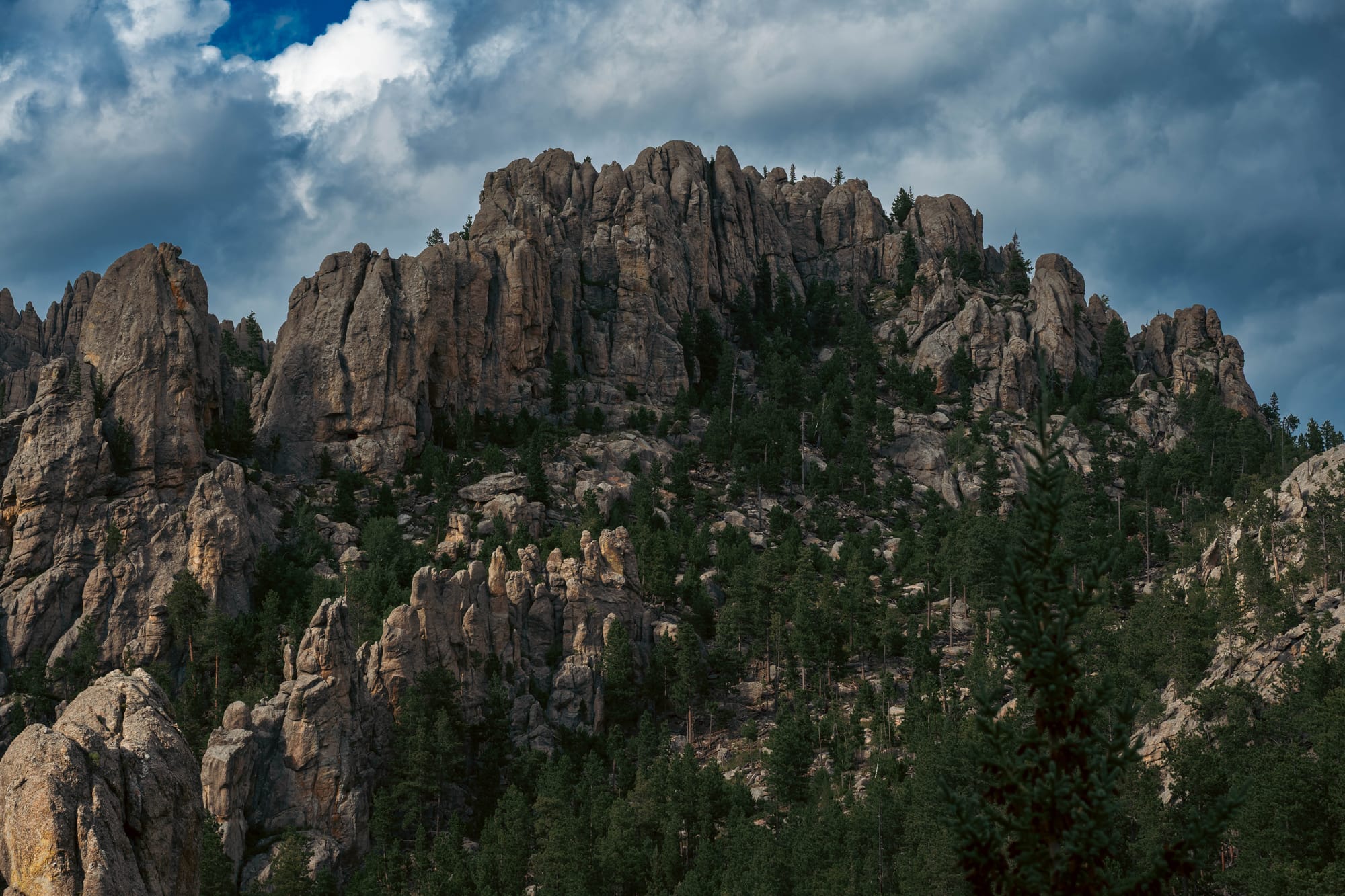
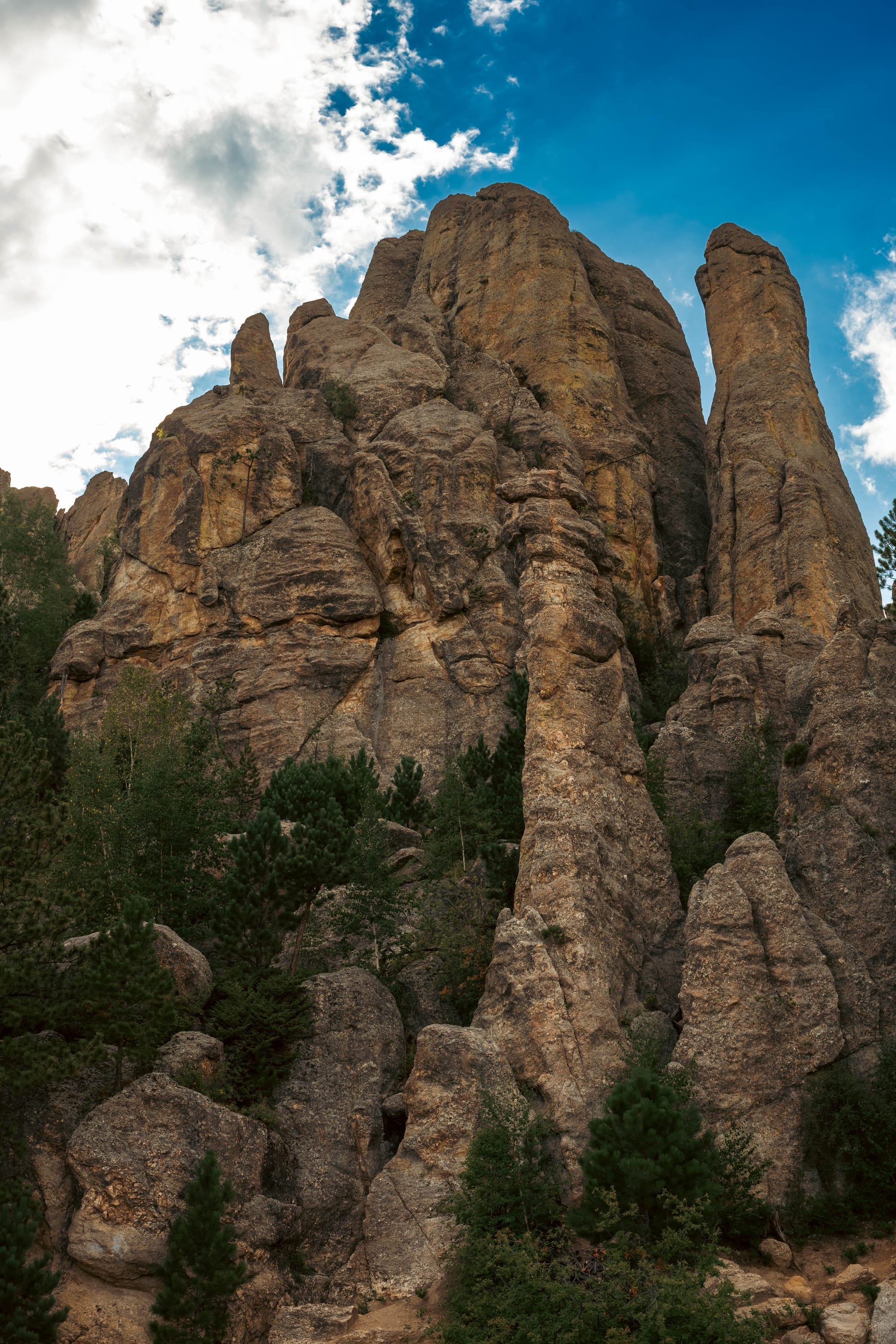
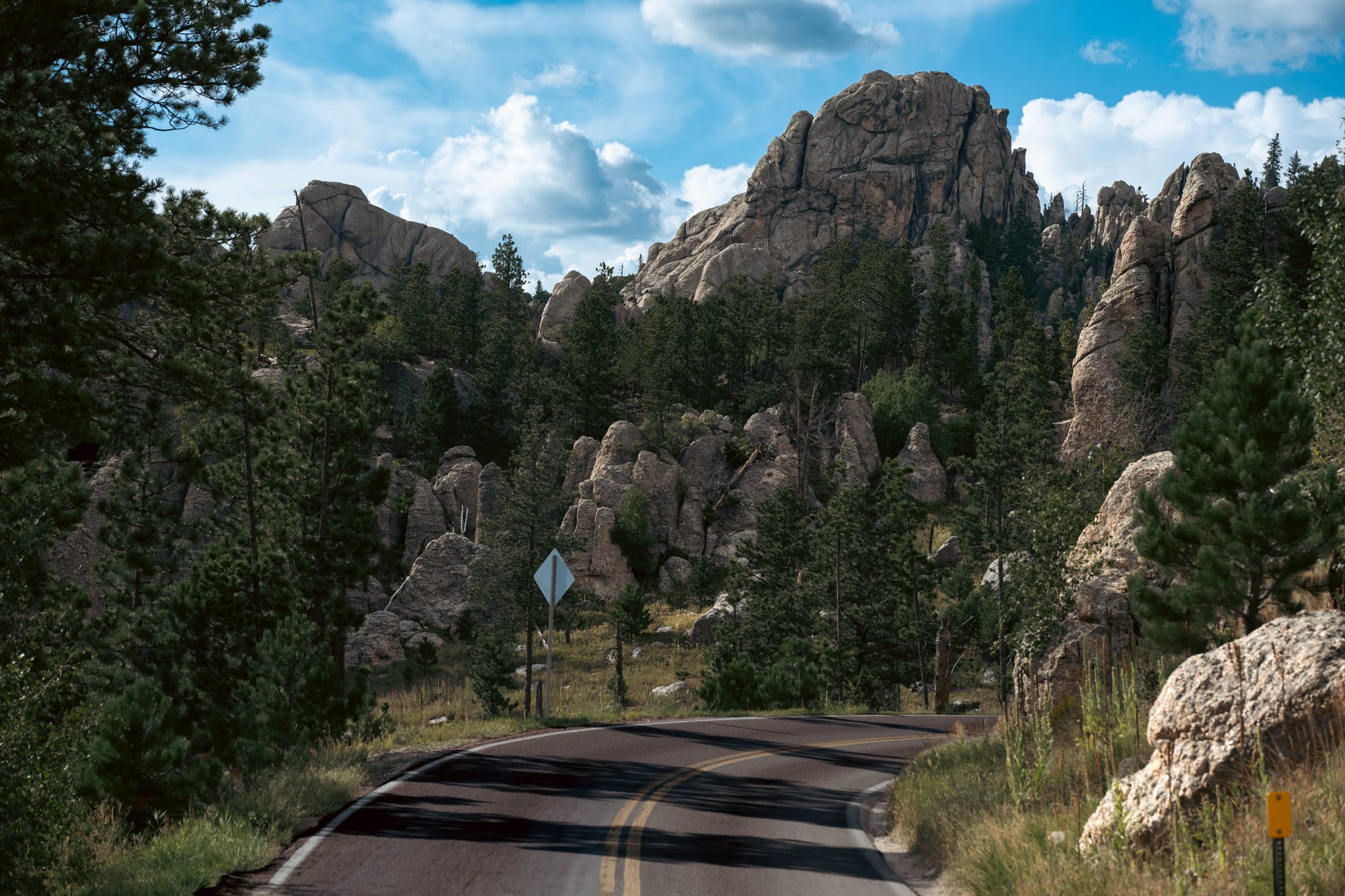
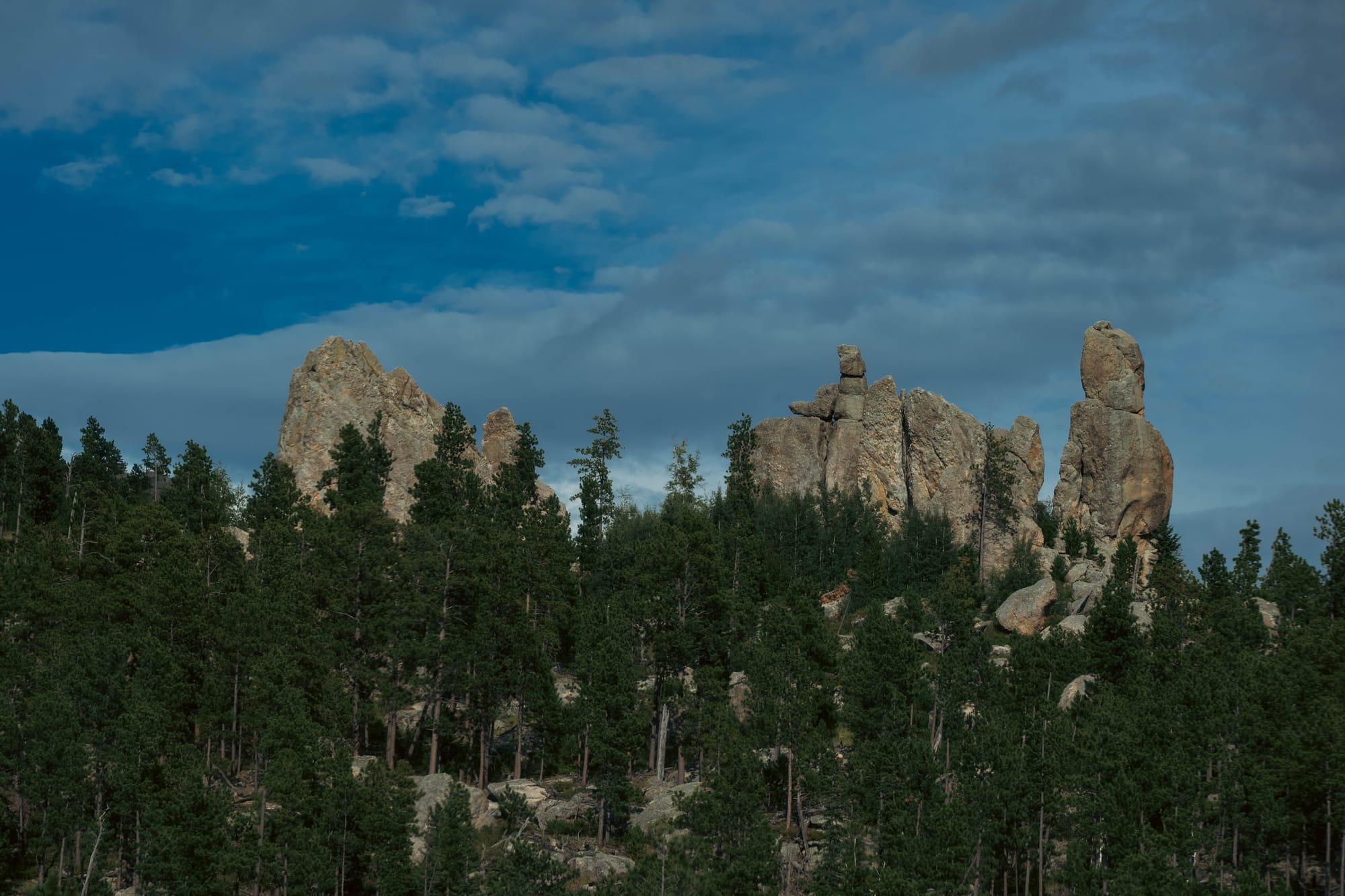
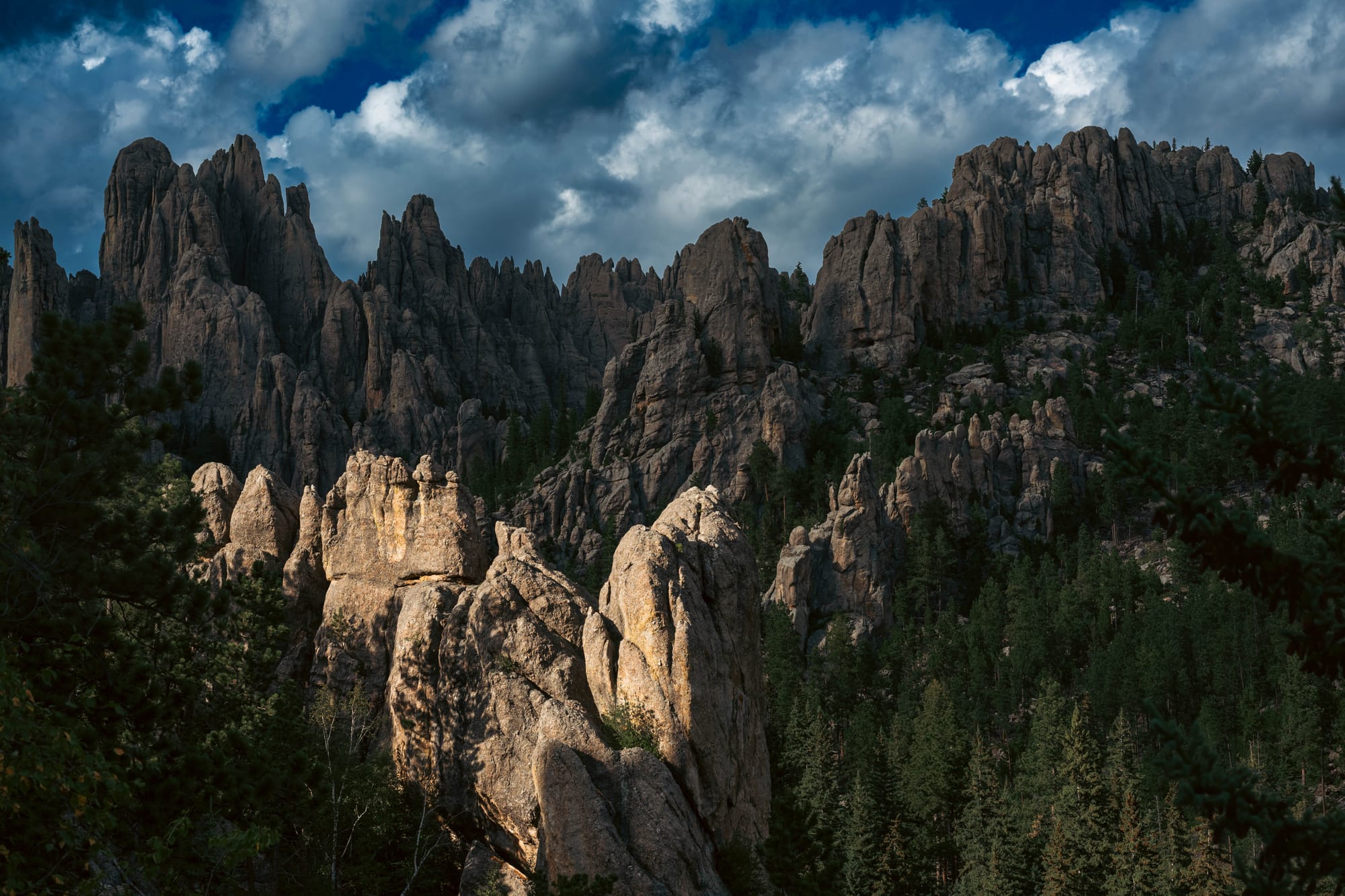
Needles Highway immediately squeezed the truck between granite walls, through narrow tunnels, around blind corners, and beneath rock formations that seemed intentionally placed to complicate the route.
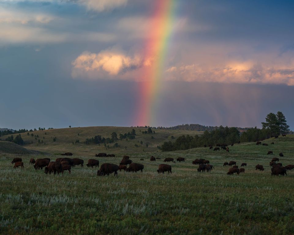
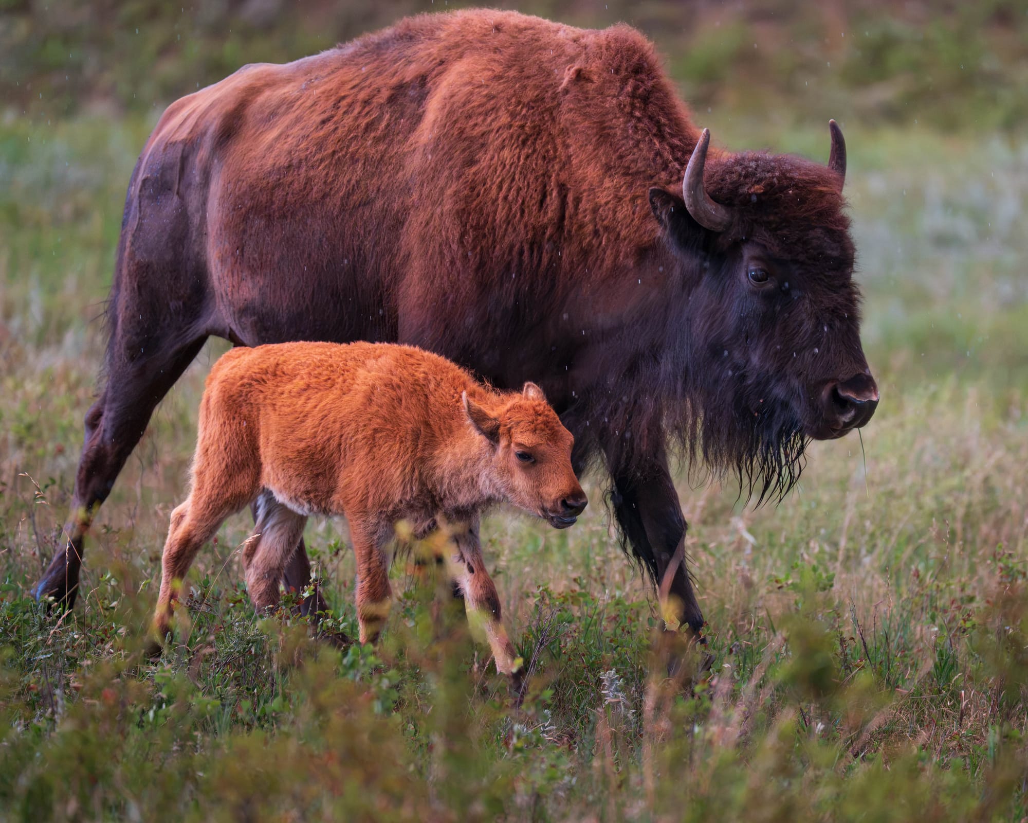
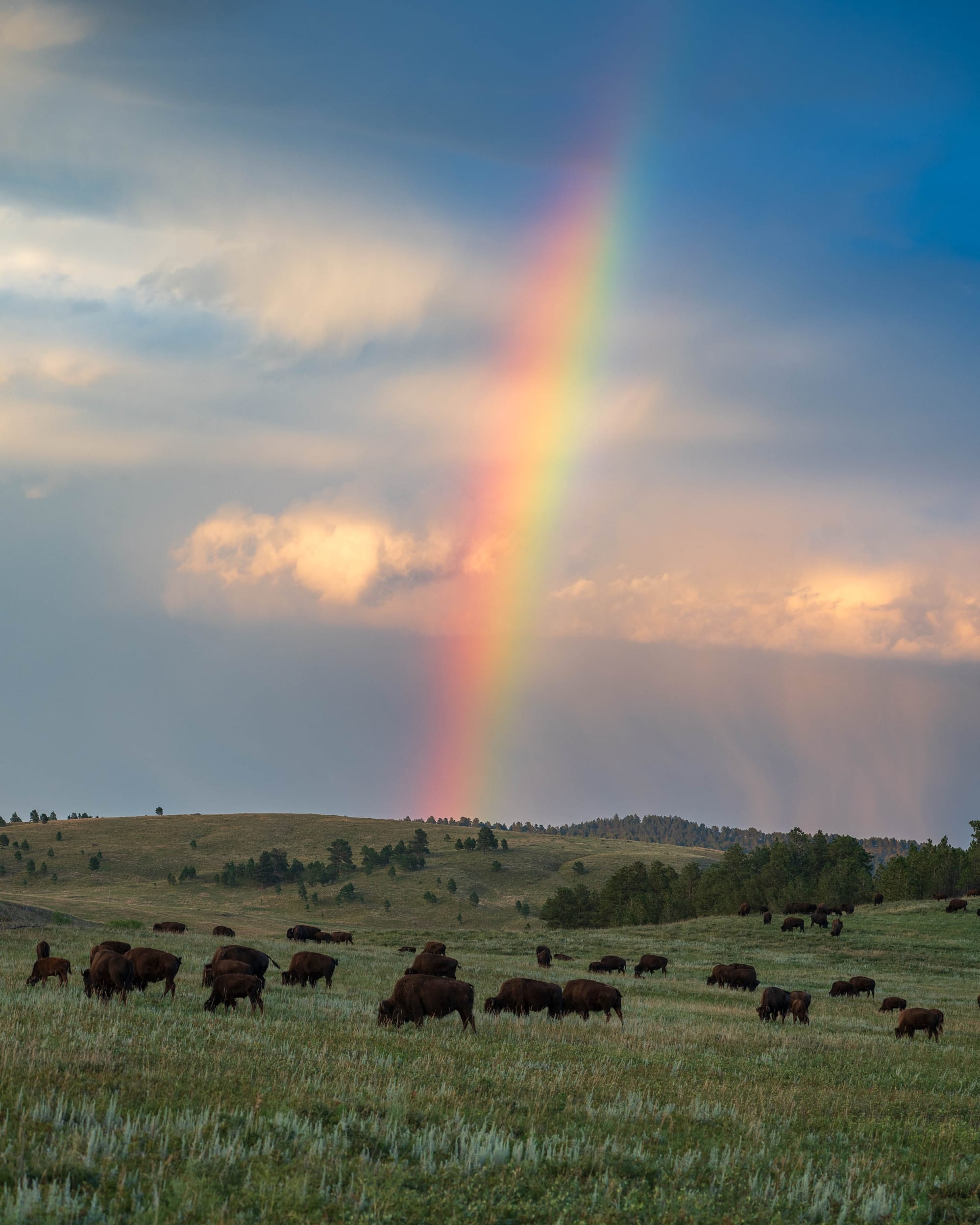
By evening we were on the opposite side of the park, watching bison move through open prairie under a sky lighting up at golden hour.
🧭 Lay of the Land
- Location: Custer, South Dakota · 43.7003, -103.4375 · Google Maps
- Official site: Custer State Park · South Dakota Game, Fish & Parks
- Landscape: Granite spires · Ponderosa pine forest · Rolling mixed-grass prairie
- Our visit: August 2026 · day visit · Needles Highway + Wildlife Loop · warm with clouds at golden hour
🏕 Camp Setup
- Site types: Tent-only non-electric · RV non-electric · RV electric · Horse/electric · Primitive backcountry
- Arrival & setup: ⟂
- Hookups: ⚡ | 🧻
- Connectivity: 📶 AT&T ⟂ | 📶 Verizon ⟂ | 📶 T-Mobile ⟂ | 📡 Starlink ⟂ | 📶 Park Wi-Fi ⟂
- Facilities: Restrooms · Showers · Trail access
Legend:
🚽 = sewer at site · 🧻 = dump station
🟢 = solid for work · ⚠️ = usable with limits · ❌ = unusable
Park Highlights
Custer State Park covers roughly 71,000 acres, making it South Dakota's largest state park. It is also the state's oldest, officially established in 1919.
Its origins go back even farther.
South Dakota once held scattered school trust lands throughout the Black Hills. Managing those disconnected parcels proved difficult, so the state negotiated a land exchange with the federal government. By 1912, the consolidated land had become Custer State Forest. Governor Peter Norbeck later pushed for state-park status.
The result is a park that feels unusually substantial.
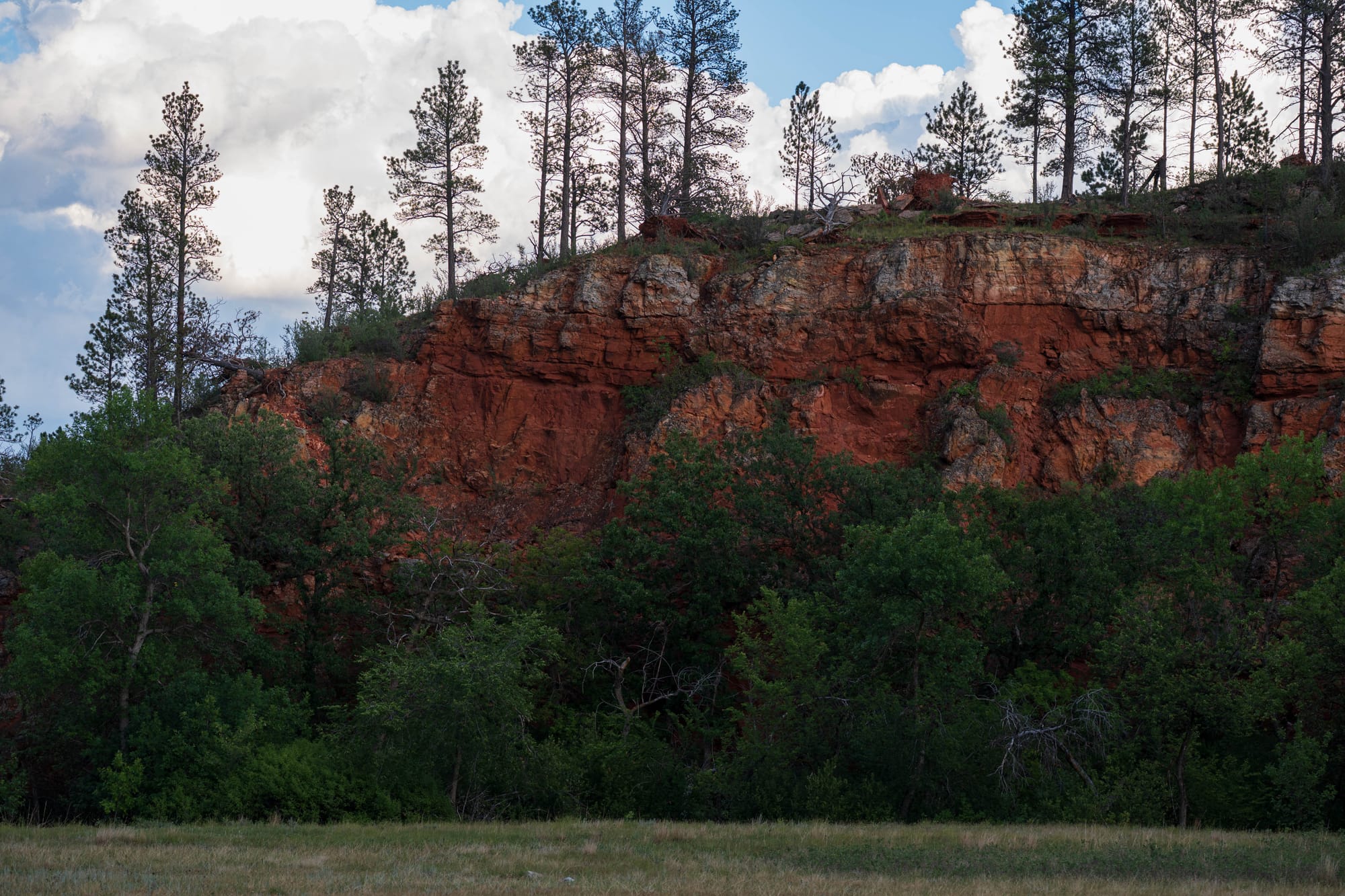
This is not a campground wrapped around a lake with a few miles of trail. Roads run through forests, granite country, open prairie, lakes, lodges, wildlife habitat, and multiple developed areas spread across a huge piece of the southern Black Hills.
Needles Highway
I do not know what level of confidence it takes to look at this terrain and decide a road should go directly through it.
Peter Norbeck apparently had enough.
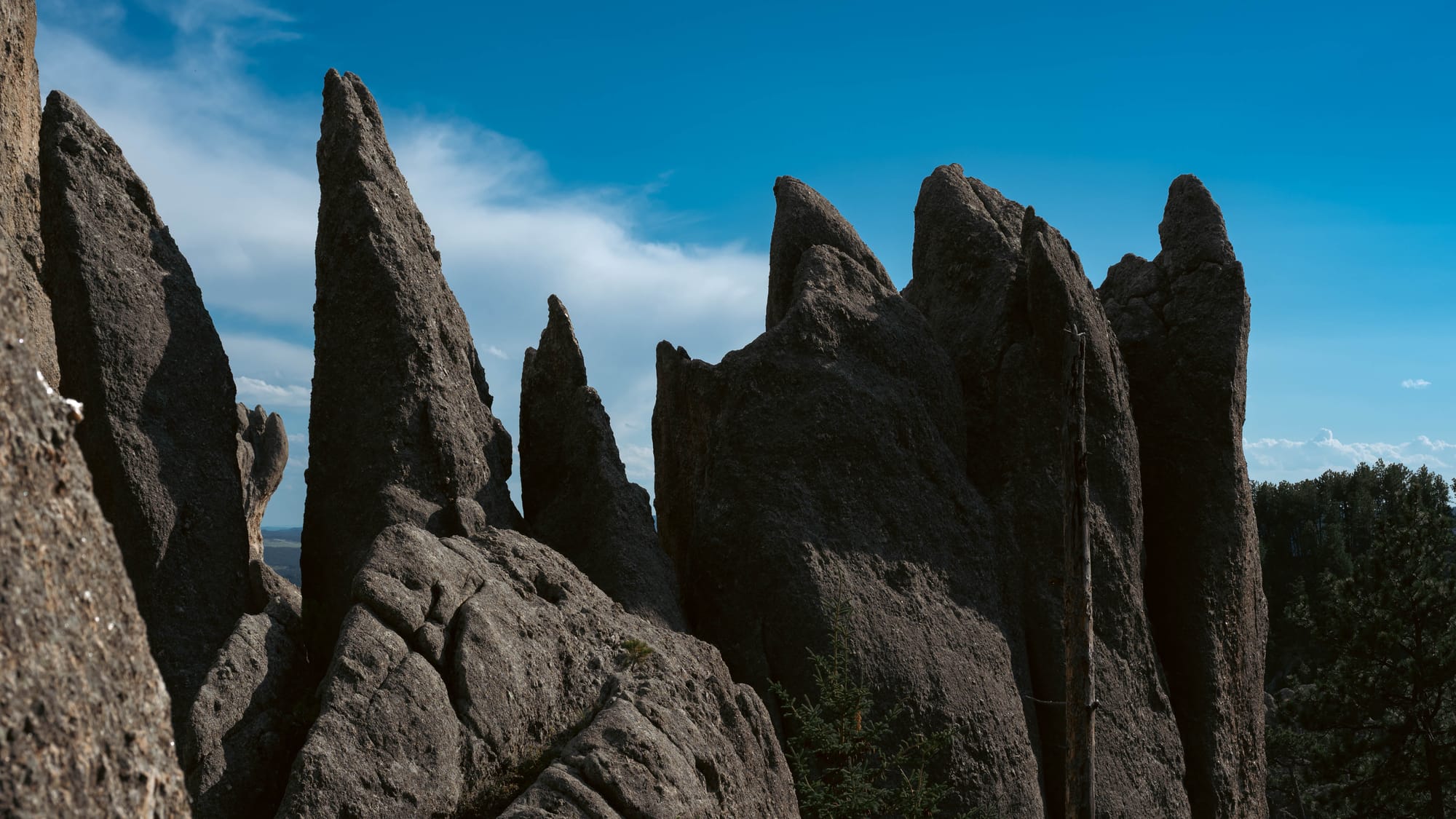
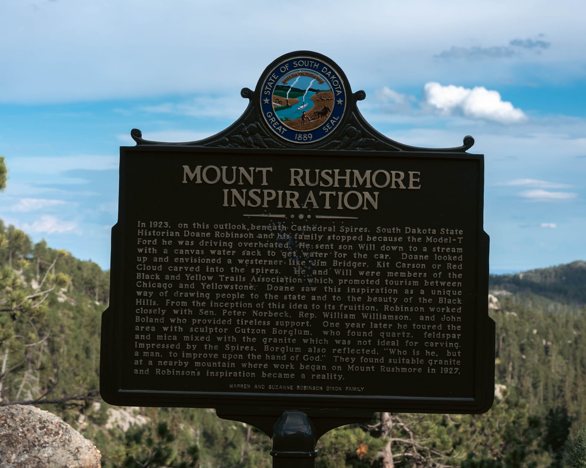
He helped plan the 14-mile Needles Highway and personally marked its course on foot and horseback. The road was completed in 1922, threading through granite formations, forest, and narrow tunnels that engineers originally thought would be extremely difficult to build.
Driving it more than a century later, the design still feels half madman, half genius.
The route does not skirt the landscape. It cuts straight into it.
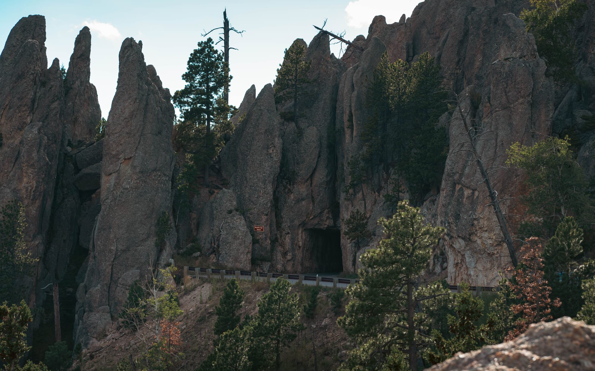
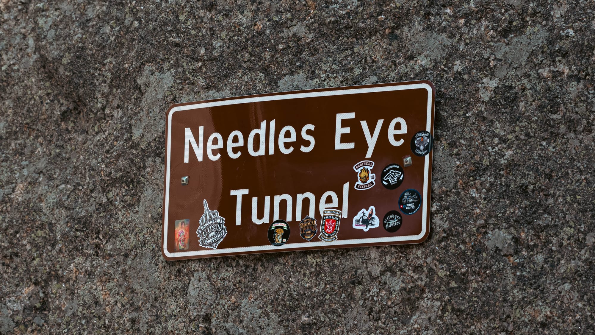
Tight turns bring granite formations directly into the windshield. Short tunnels punch through solid rock. The Needles Eye Tunnel narrows to just eight feet wide, forcing Sam to carefully line up before squeezing through.
Sam handled all of it while I hopped out with the camera to capture the madness.
Considering her recent lack of driving time, Needles Highway was less of a refresher course and more like getting thrown into the deep end.
She crushed it.
We were also catching the final weekend of Sturgis, so motorcycles were still scattered throughout the Black Hills. There were plenty of bikes on Needles Highway, but the road never felt overwhelmed.
That gave us time to slow down, pull over, walk around some of the formations, and actually appreciate how absurd the road was.
It easily became one of the best scenic drives we have done.
And we were only halfway through the park.
🚴 On the Ground
- Activities available: ● 🥾 Hiking | ● 🚴 Biking | ● 🐕 Dogs | ● 🚣 Paddling | ● 🎣 Fishing | ● 🐦 Wildlife / Birding | ● 🏊 Swimming | ● 📸 Photography | ● 🏕️ Camp-centric | ● 🧗 Climbing
- Trail mileage available: 🥾 50+ mi | 🚴 14+ mi | 🚣 ⟂
- Crowd level: Steady
Legend: ● = available · ○ = not available
Wildlife Loop
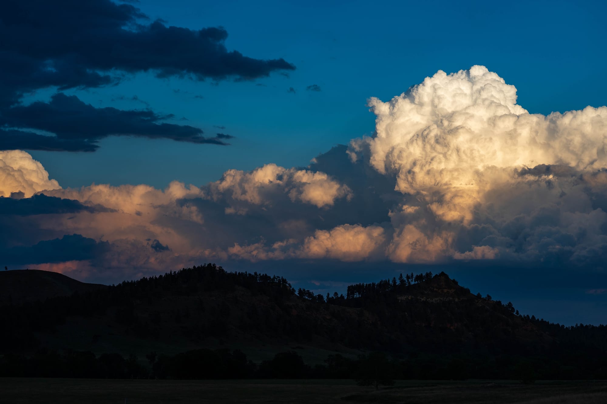
By the time we reached Wildlife Loop Road, golden hour was starting.
The 18-mile road crosses open prairie and rolling hills through some of the park's best wildlife habitat.
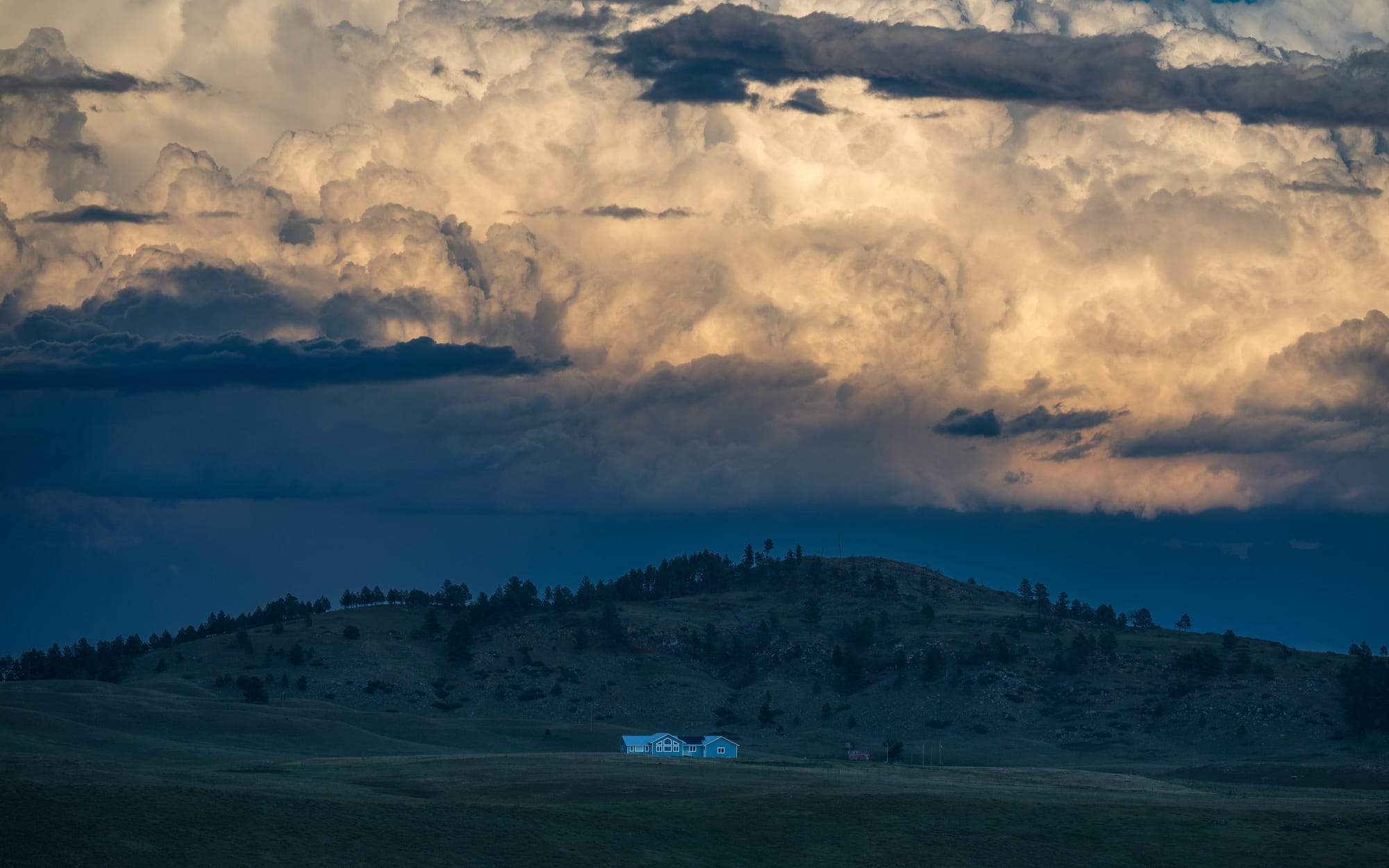
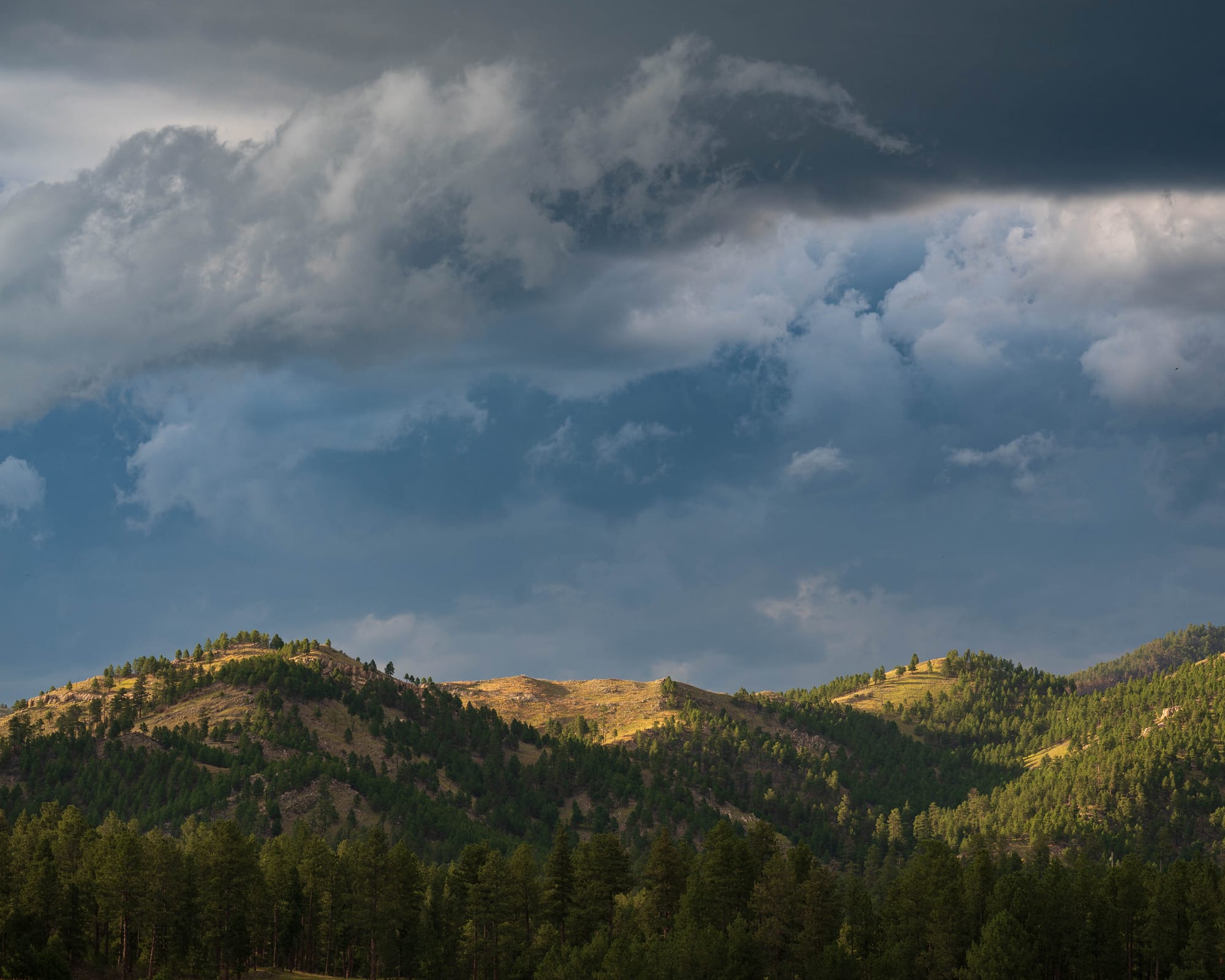
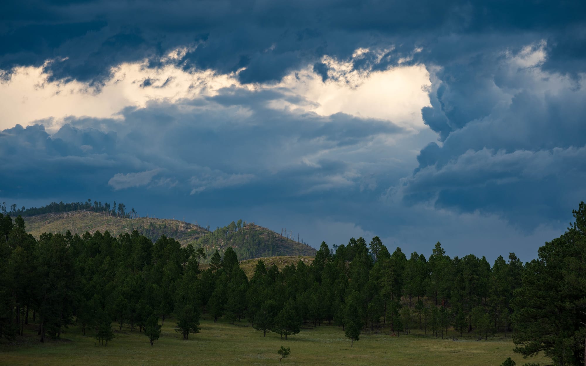
Big clouds glowed overhead, darker weather gathered to the east, and blue sky held to the west. The broad grasslands and valleys reminded me, on a much smaller scale, of Hayden or Lamar Valley in Yellowstone.
Then the wildlife started appearing.
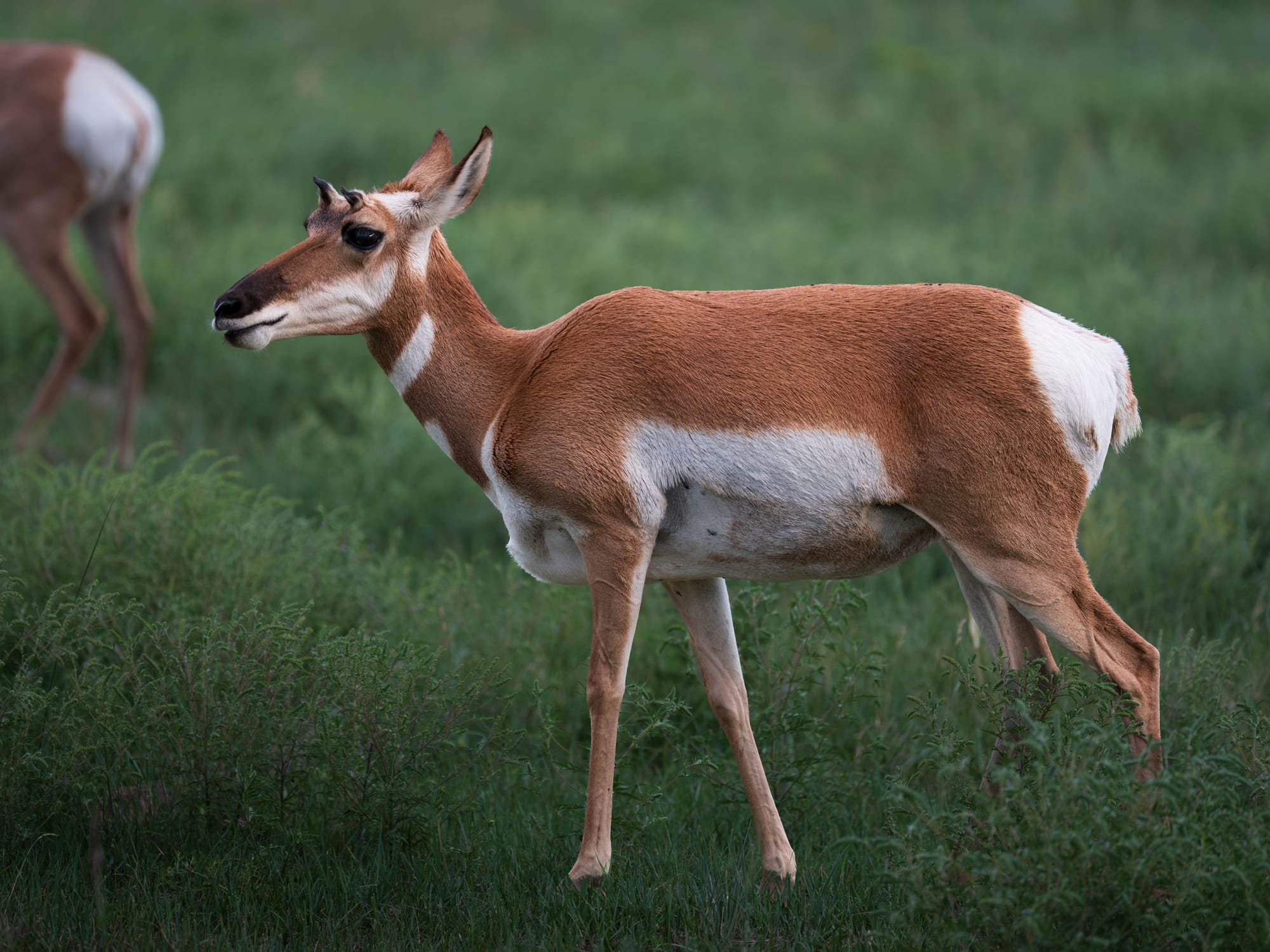
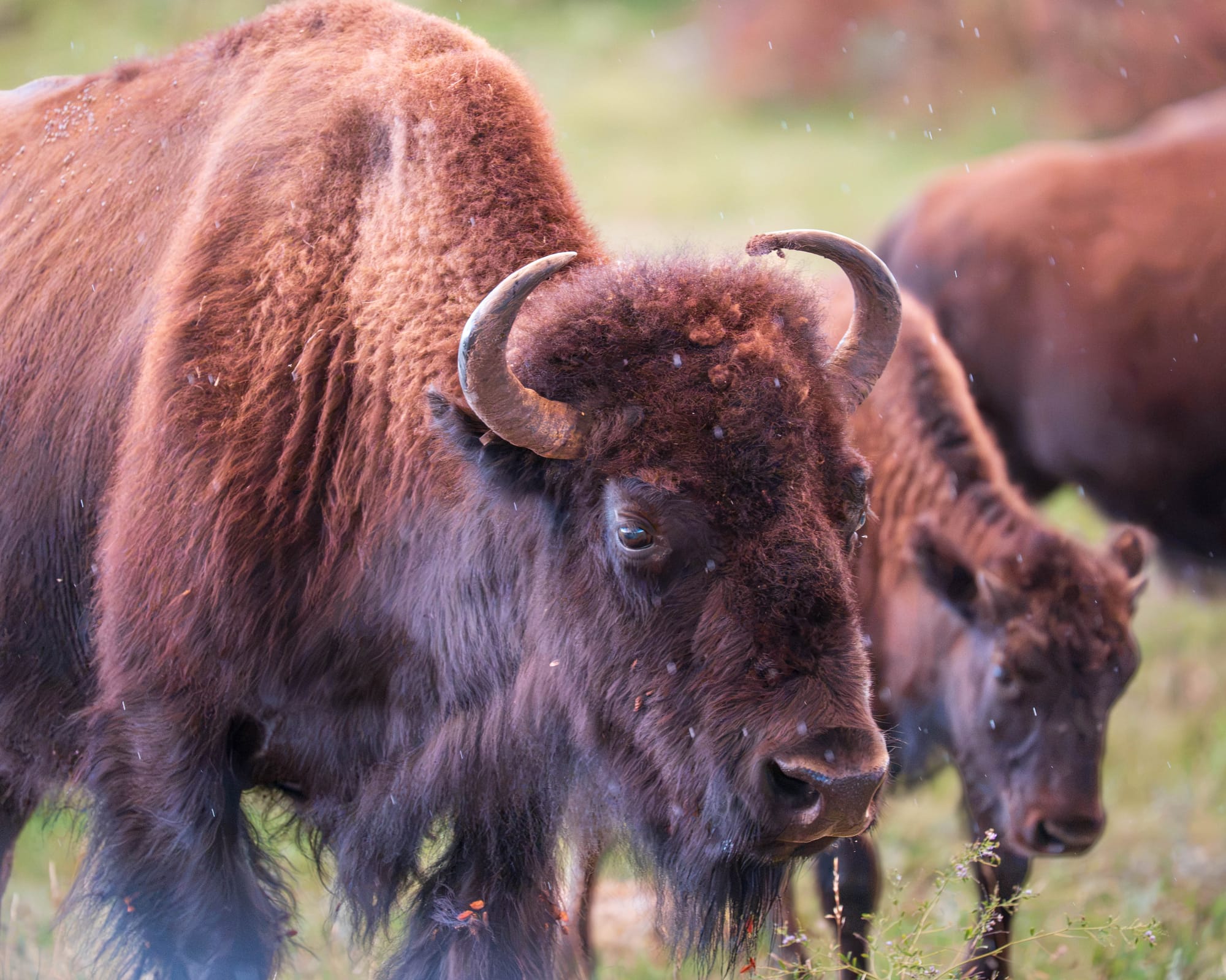
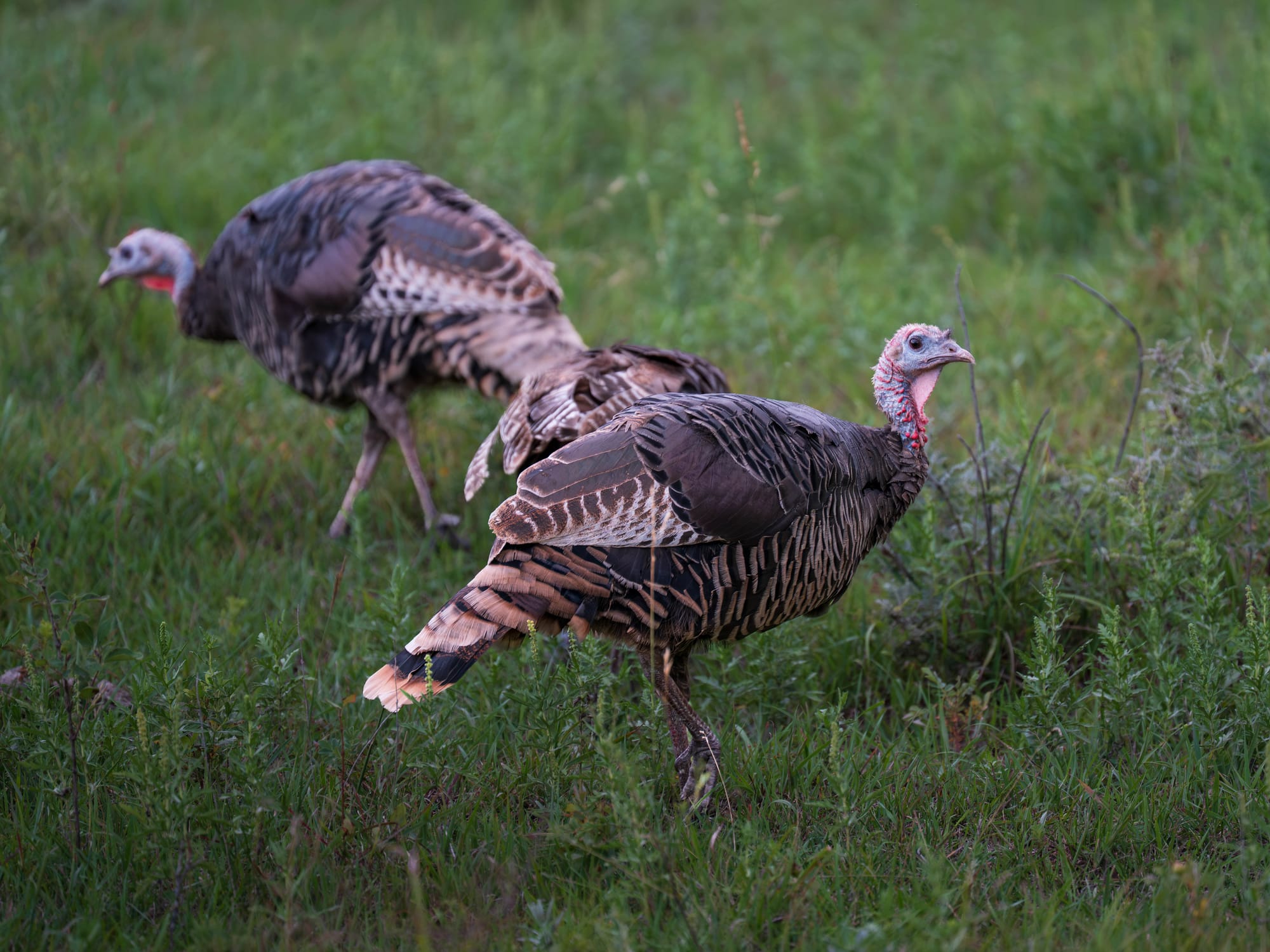
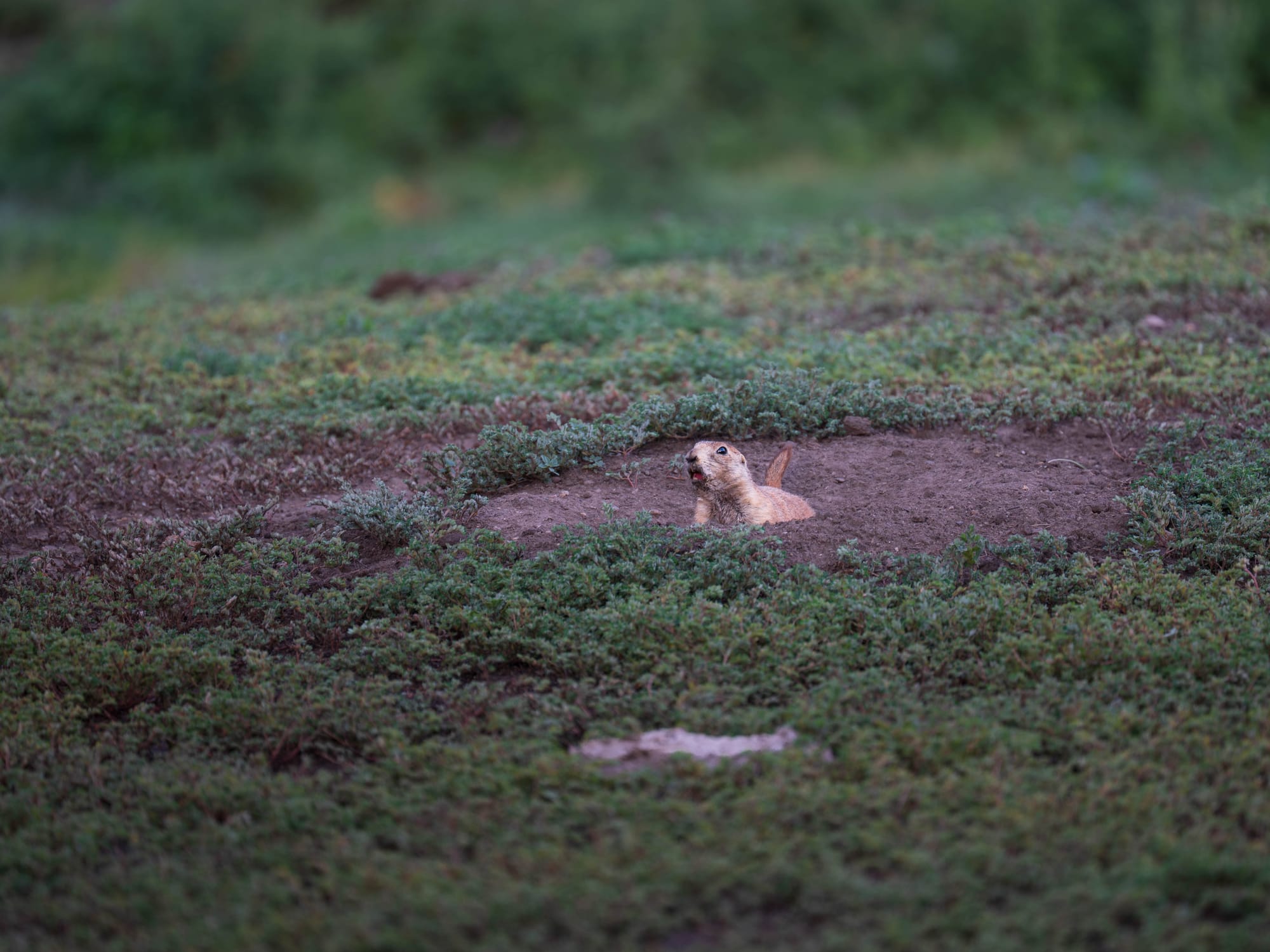
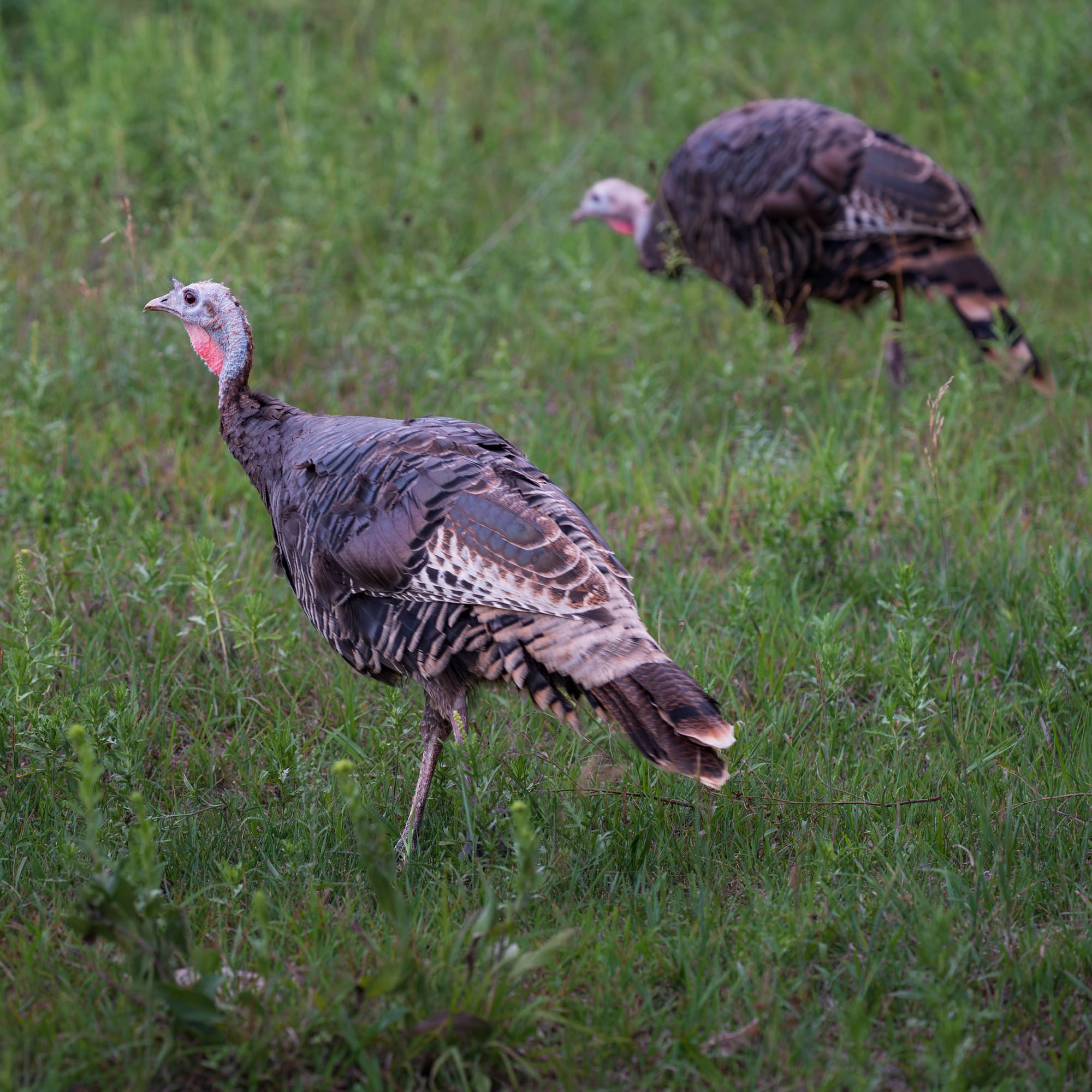
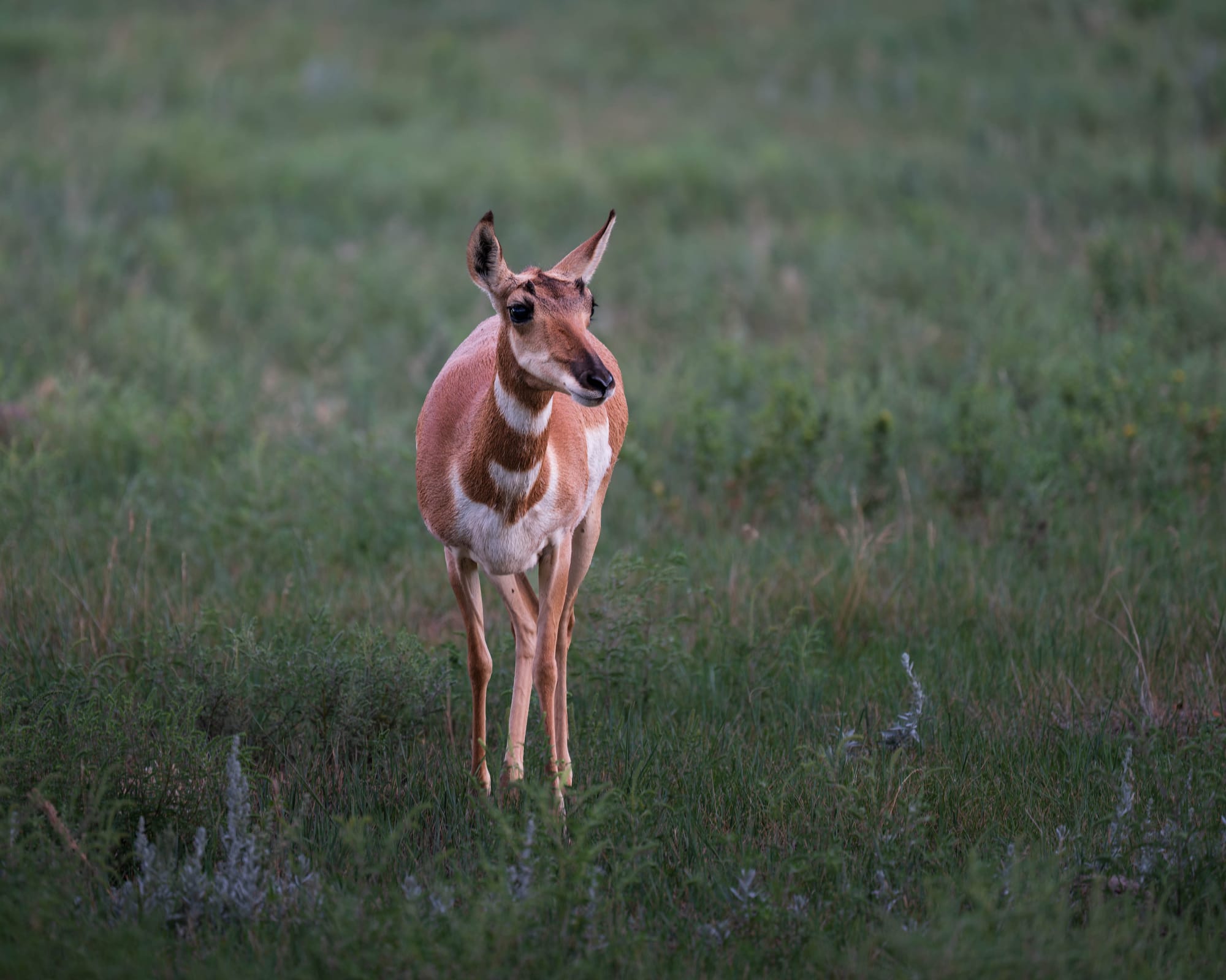
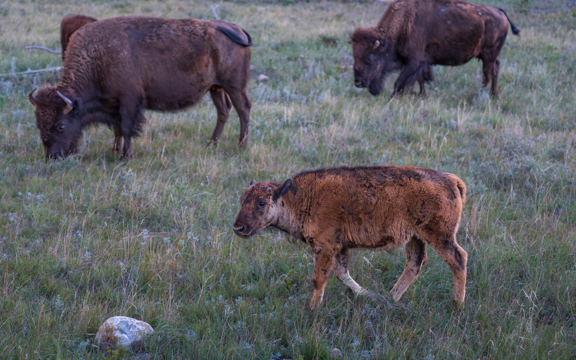
We saw pronghorn, prairie dogs, white-tailed deer, and plenty of bison.
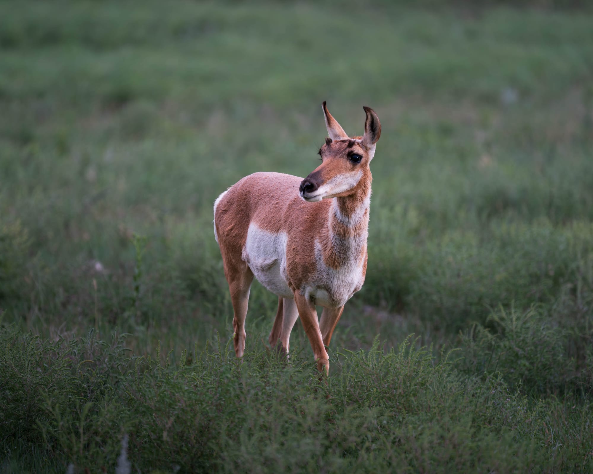
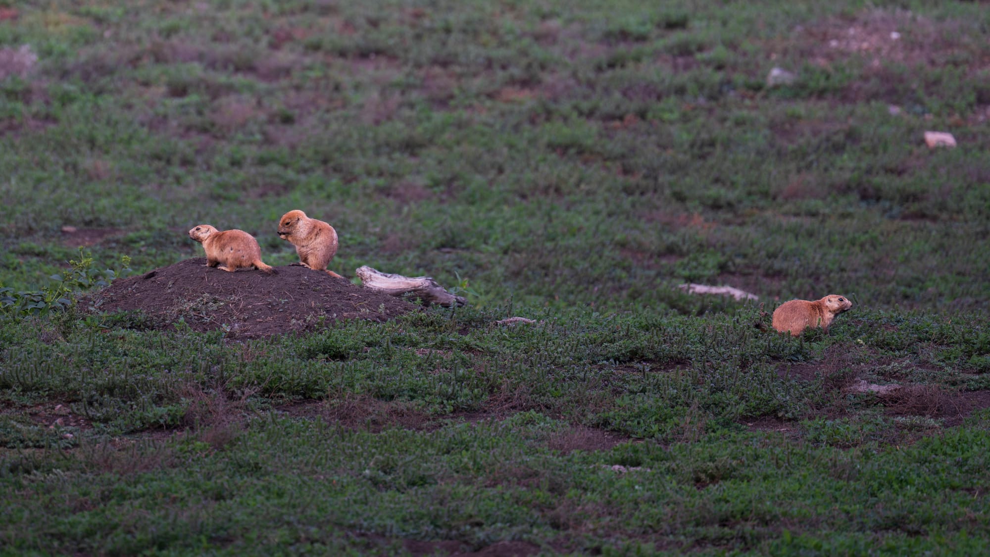
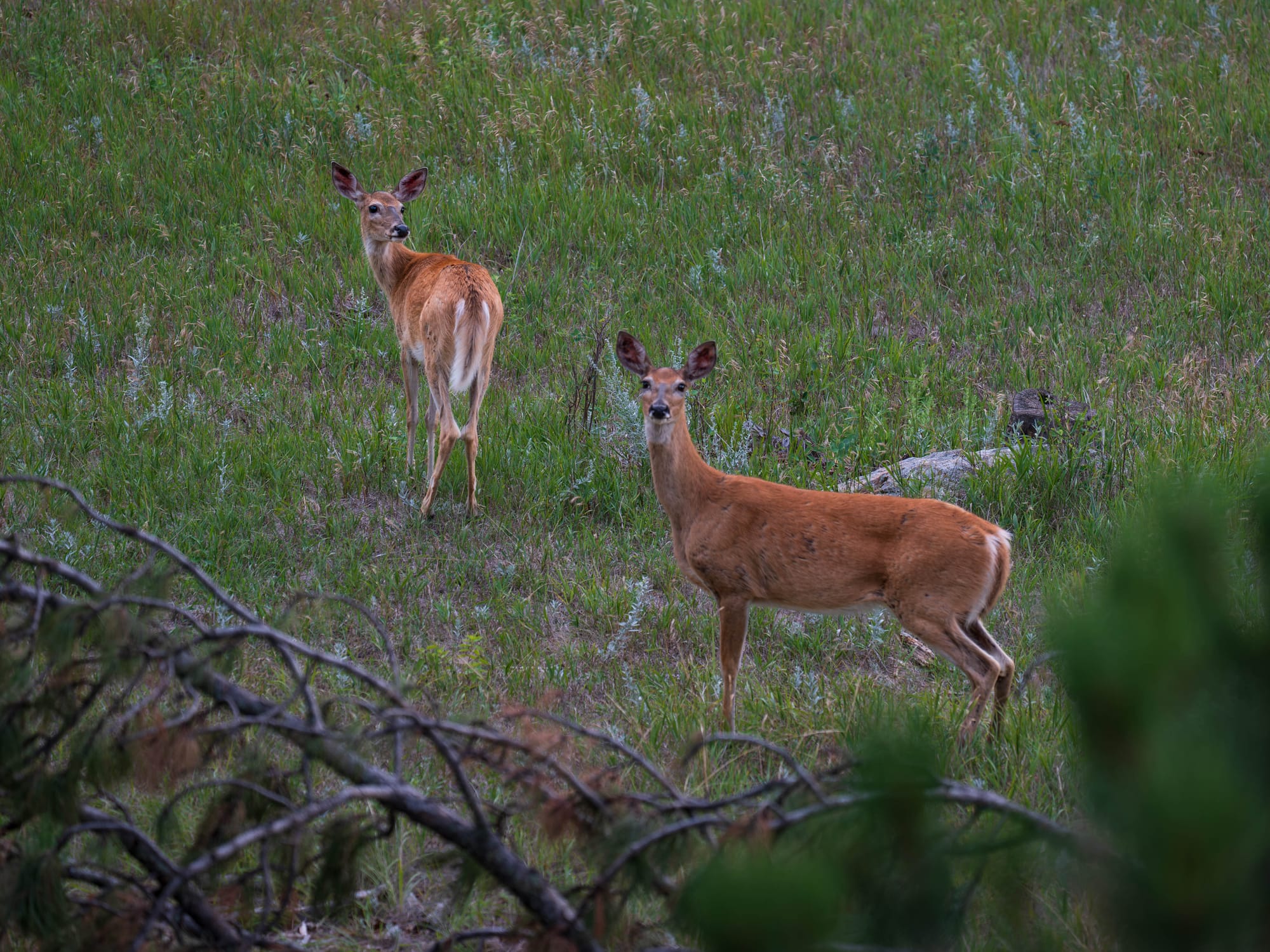
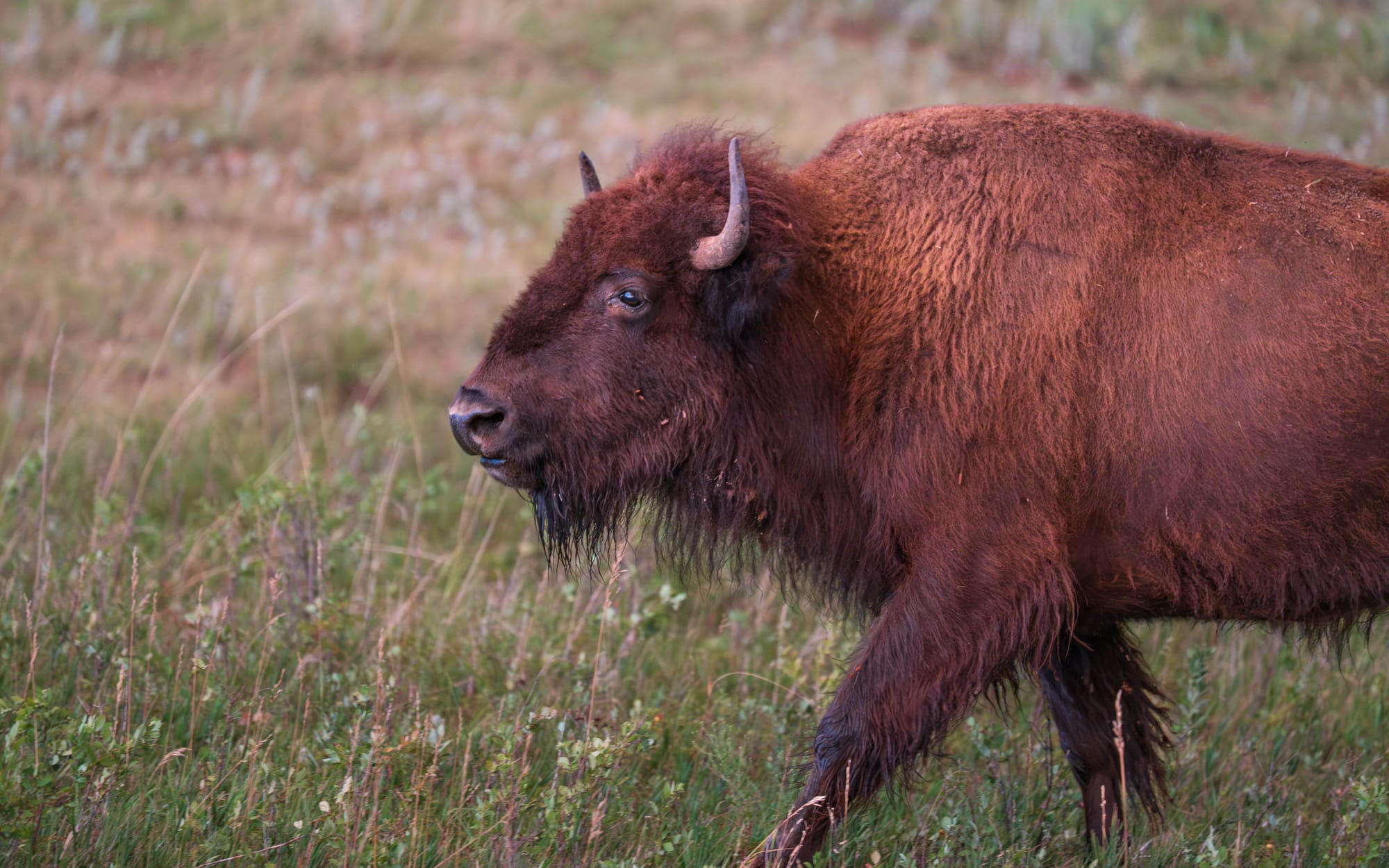
The bison are central to Custer's story.
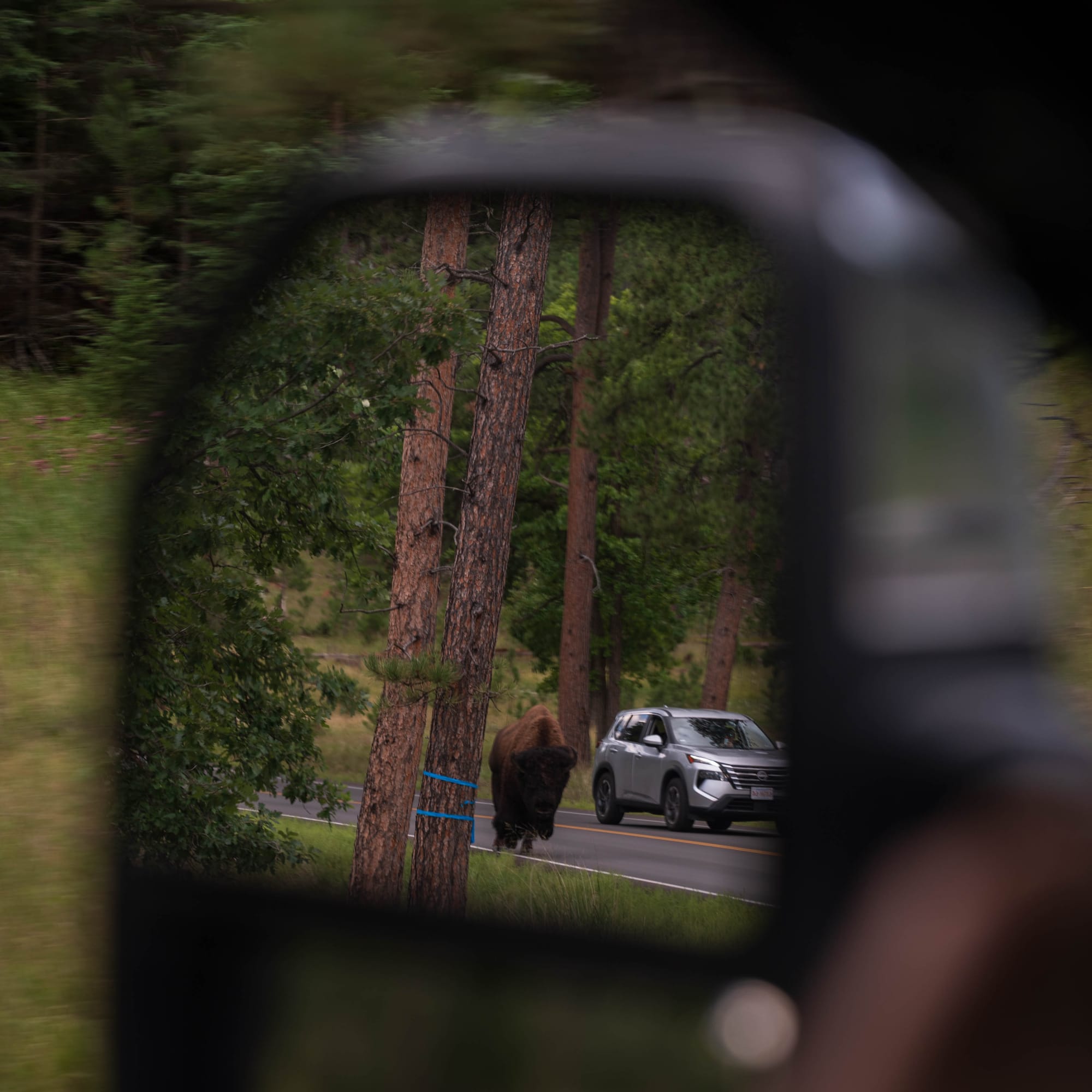
South Dakota brought 36 bison into what was then Custer State Forest in 1914 as part of an early effort to rebuild a species that had nearly disappeared from the region. Today, Custer manages a free-ranging herd of roughly 1,350 to 1,400 animals, one of the largest publicly owned bison herds in the world.
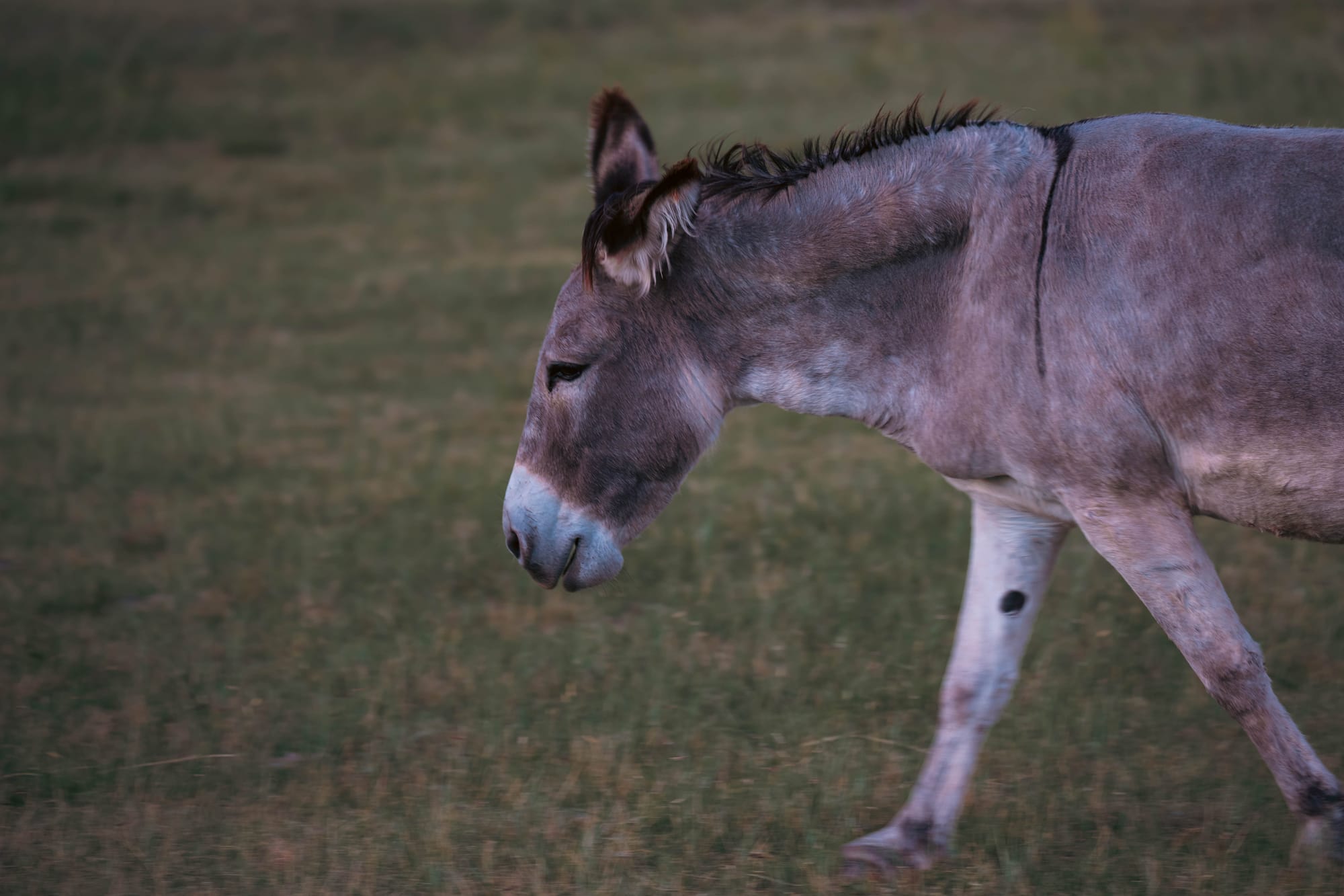
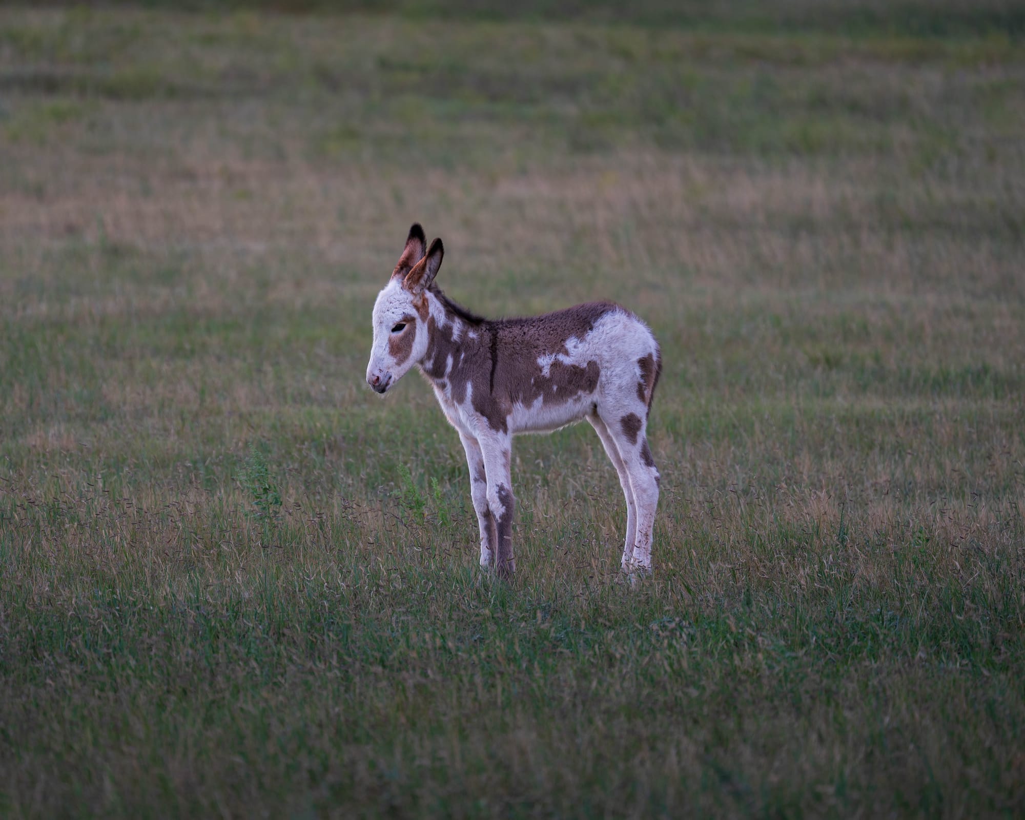
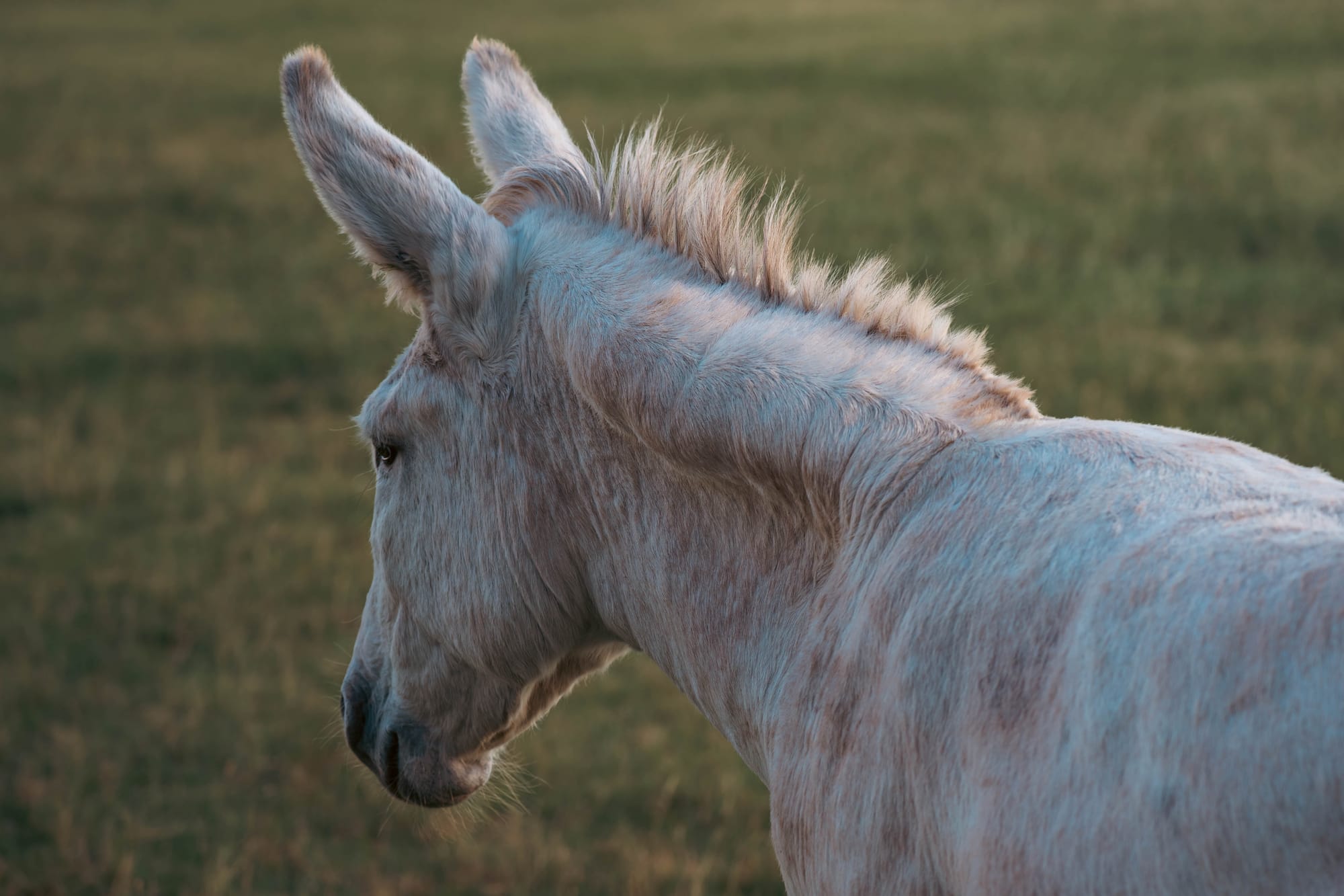
Then there were the burros.
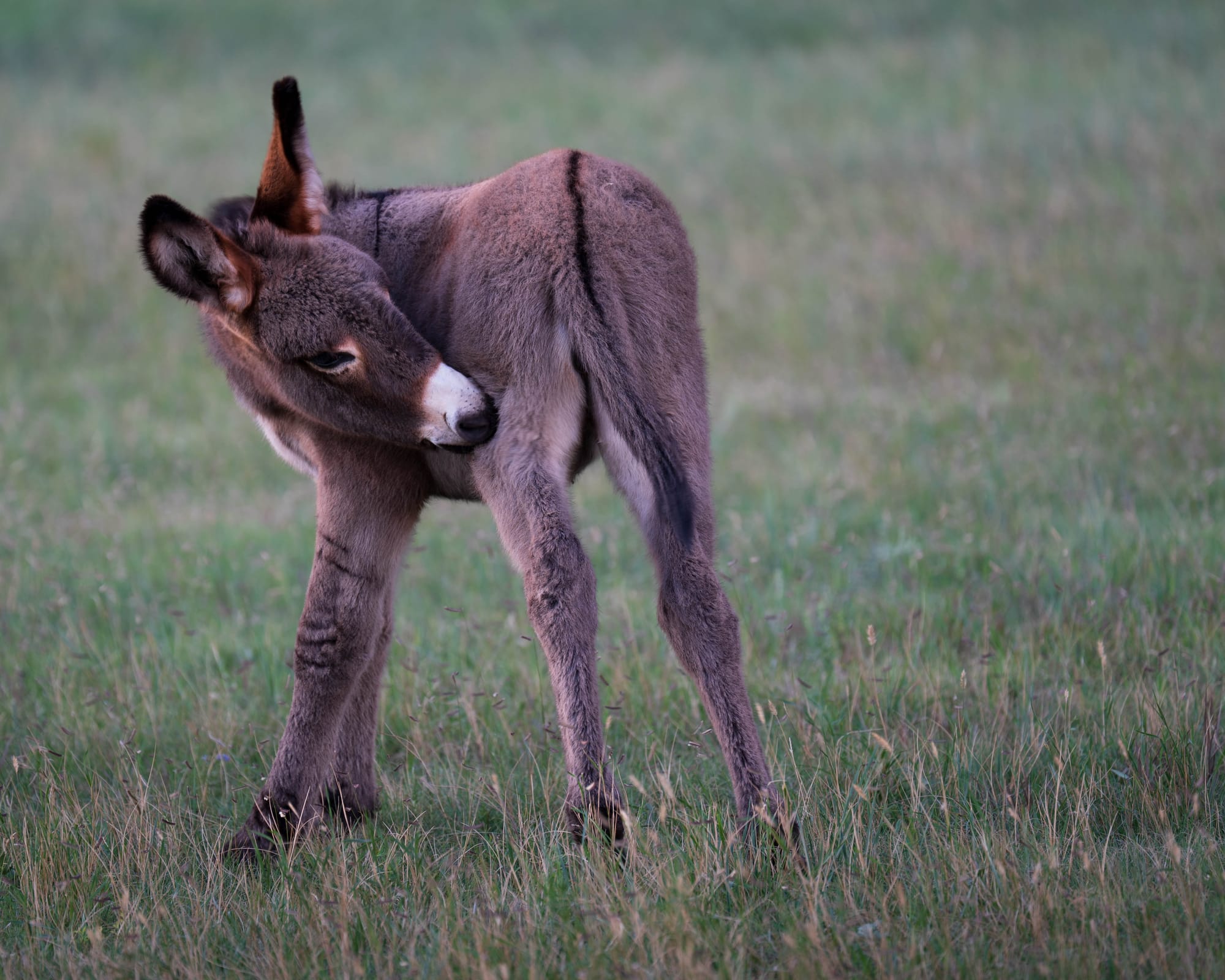
Several wandered directly toward visitors and vehicles while we were there. People were petting them and offering carrots from their hands, which made the whole scene feel almost comically different from every other wildlife encounter we had been having.
Most of the summer had reinforced some version of the same rule: wildlife is wild, give it space, and under absolutely no circumstances treat a bison like a fluffy cow.
Then suddenly there were burros calmly standing beside the road accepting scratches from strangers.
We joined in for a few pets, although the park officially prohibits feeding or disturbing wildlife.
⚡ TL;DR
- Park highlight: Needles Highway and Wildlife Loop combine tight granite roadways with broad prairie and exceptional wildlife viewing
- Best for: Scenic driving, wildlife, hiking, camping, and exploring the southern Black Hills
- Skip if: Narrow mountain roads or slow wildlife drives are not your thing
- Worth planning around?: Yes
Final Thoughts
I underestimated both halves of Custer State Park.
Needles Highway alone would have made the visit worthwhile. It is one of the most audacious scenic roads we have driven, a route that somehow turns difficult terrain into the entire point of the experience.
Then Wildlife Loop opened into broad prairie at golden hour and delivered bison, pronghorn, deer, prairie dogs, and burros almost back to back.
That combination gave the park a scale and variety I did not expect from a state park.
And in a region already packed with national parks, monuments, caves, forests, and some of the most recognizable landmarks in the country, Custer did not feel secondary to any of them.
It felt like one of the reasons to come to the Black Hills in the first place.