Appalachian Trail | NJ & NY
After Pennsylvania, we were ready for different footing.
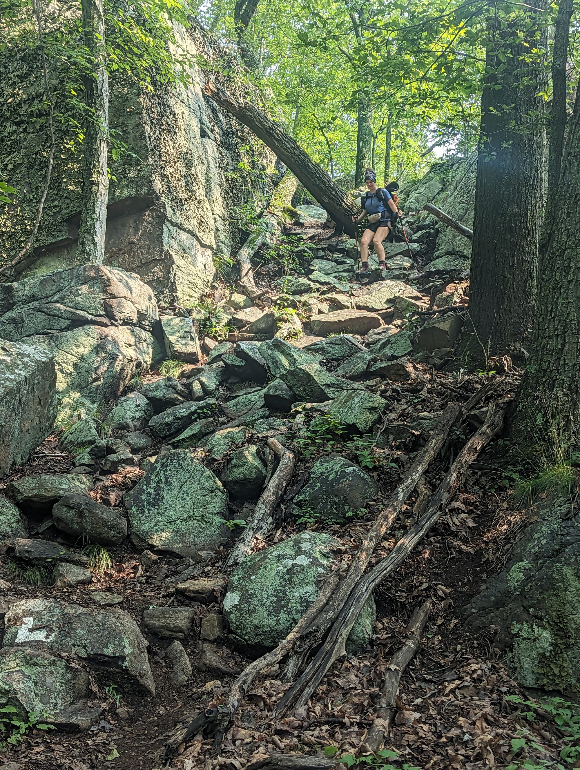
The rocks had worn us down enough that crossing into New Jersey felt like a reset before the state had even done anything. We were not expecting New Jersey and New York to become one of the more interesting transitions of the trail, but that is what happened.
This section had more civilization pressed against it than anywhere else on the AT. Roads, towns, delis, lawnmowers, busy parks, and day hikers were never that far away. But the trail did not disappear into suburbia. It kept threading through ridges, wetlands, lakes, state parks, and stretches of backcountry that felt surprisingly removed from everything around them.
New Jersey and New York were not the hardest miles, but they were better than expected. After weeks of kicking rocks, the boardwalks, food access, and big state-park views were a shift we needed.


🗺️ The Lay of the Land
- Section: New Jersey & New York
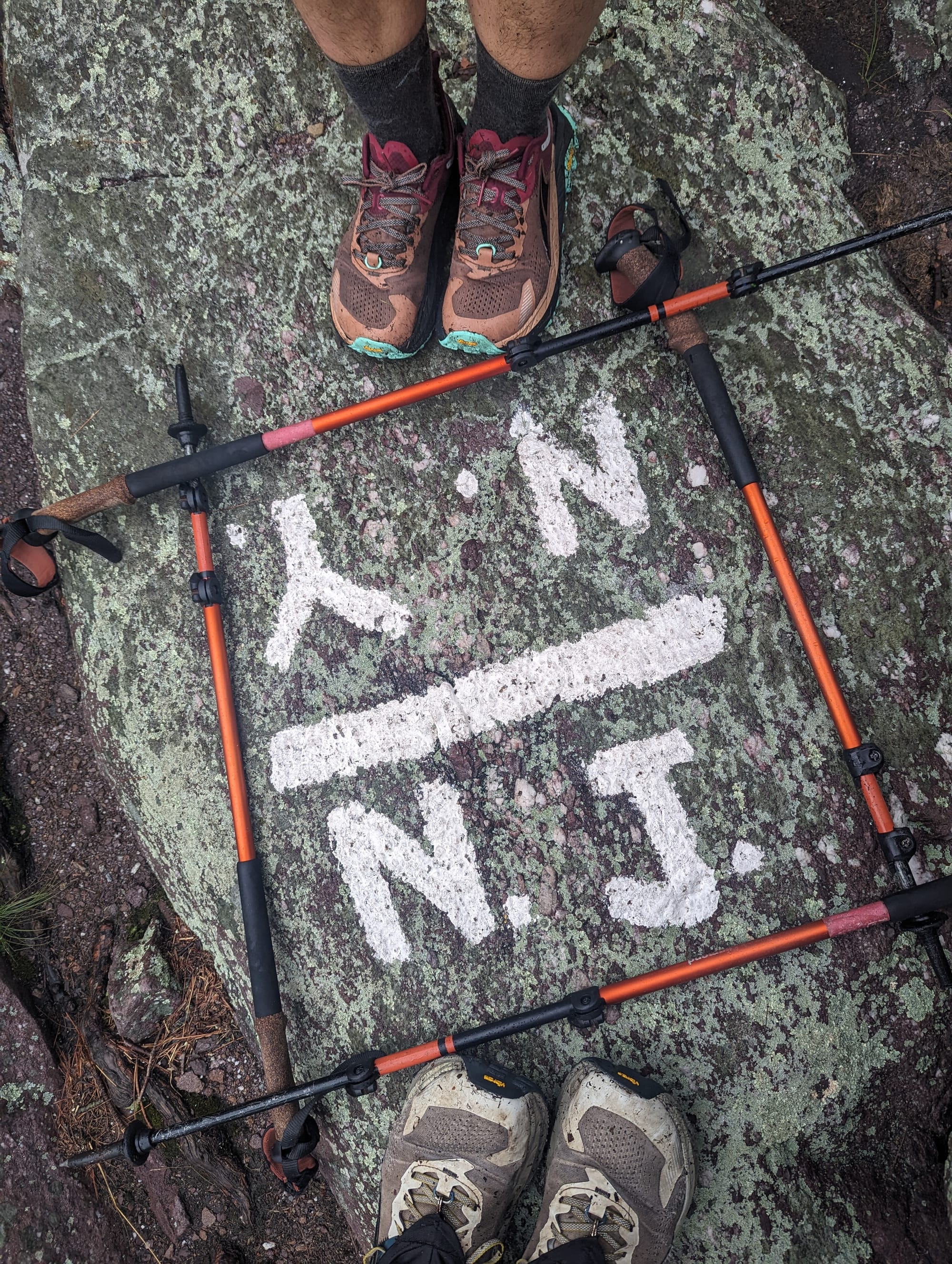
- Route: Delaware Water Gap to the Connecticut line
- AT miles: Approx. 1,295–1,450
- States covered: New Jersey · New York
- Direction: Northbound
- Landscape: glaciated ridges · wetlands · lakes
- Terrain: boardwalks · rocky ridges · short steep climbs · road crossings
- Section role: the nature-and-civilization transition into the Northeast
Regional Notes
New Jersey and New York changed the terrain by changing the geology beneath the trail.
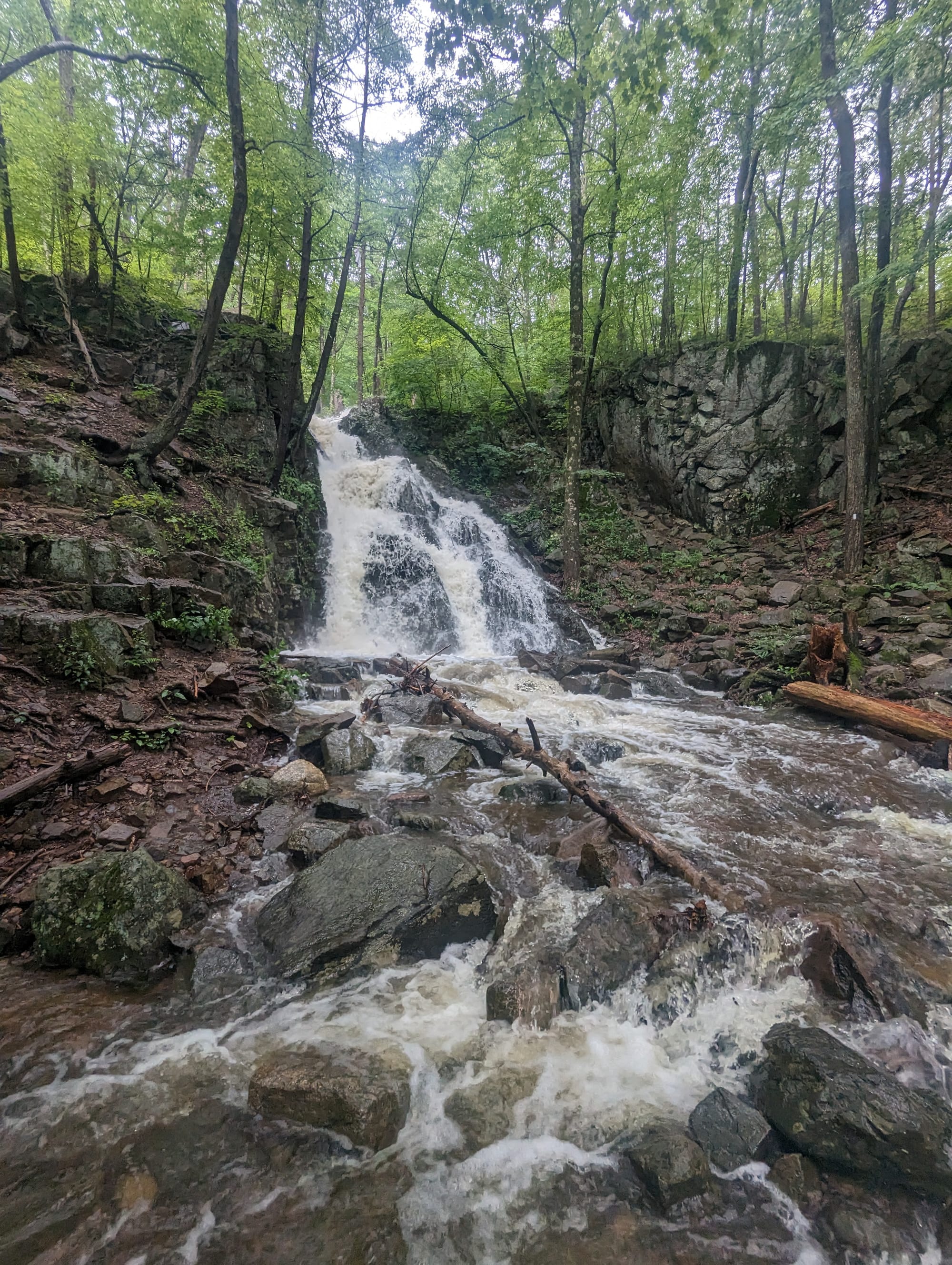
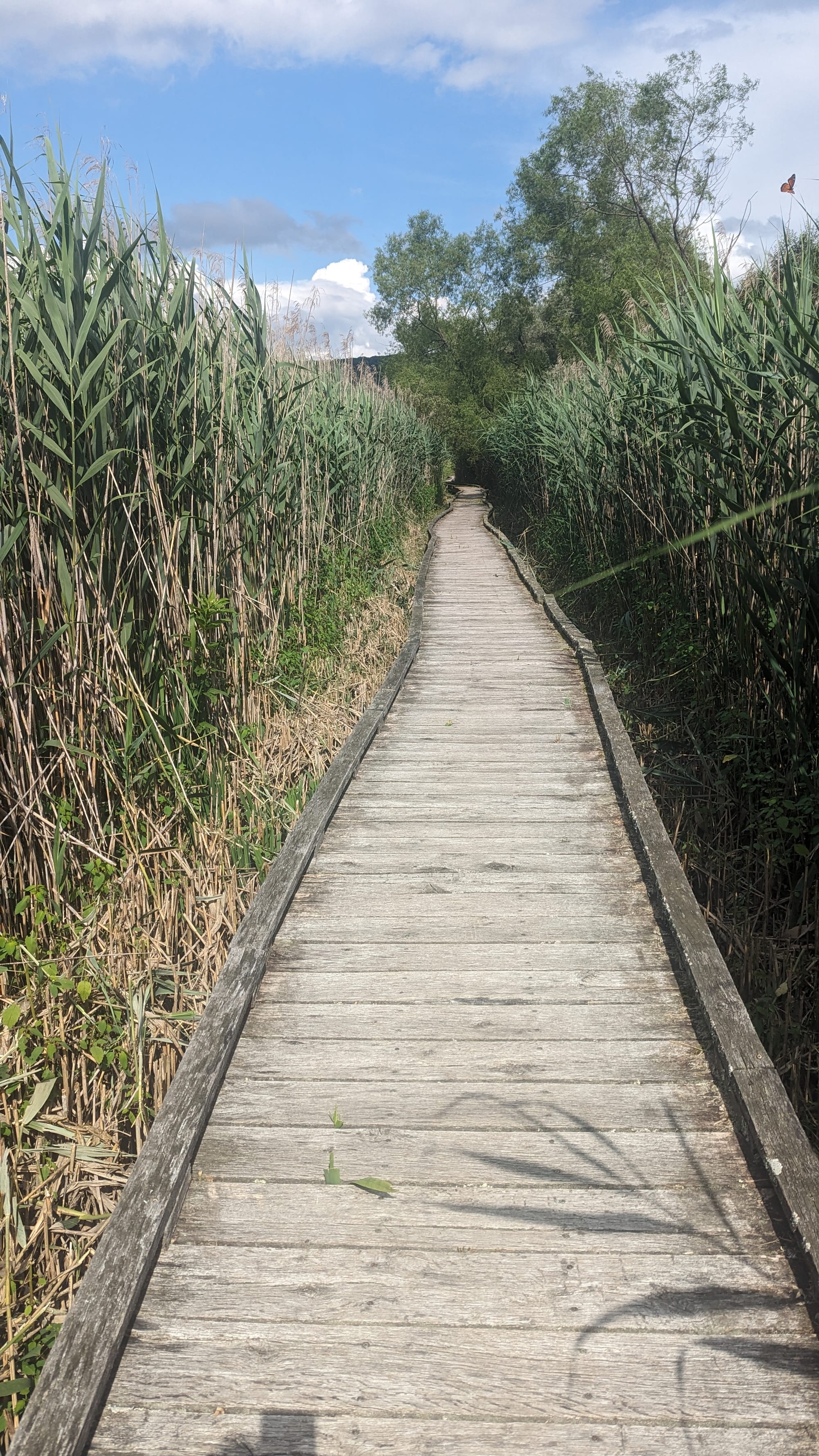
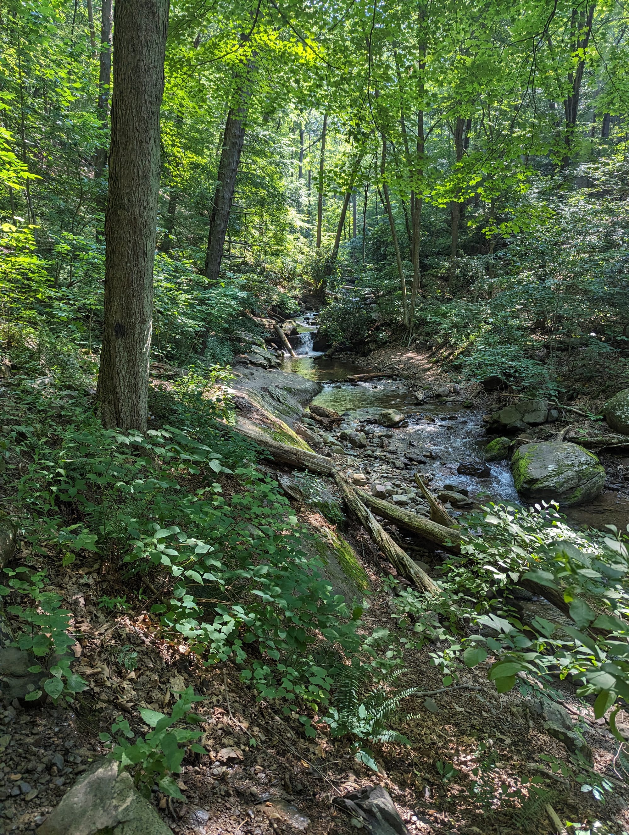
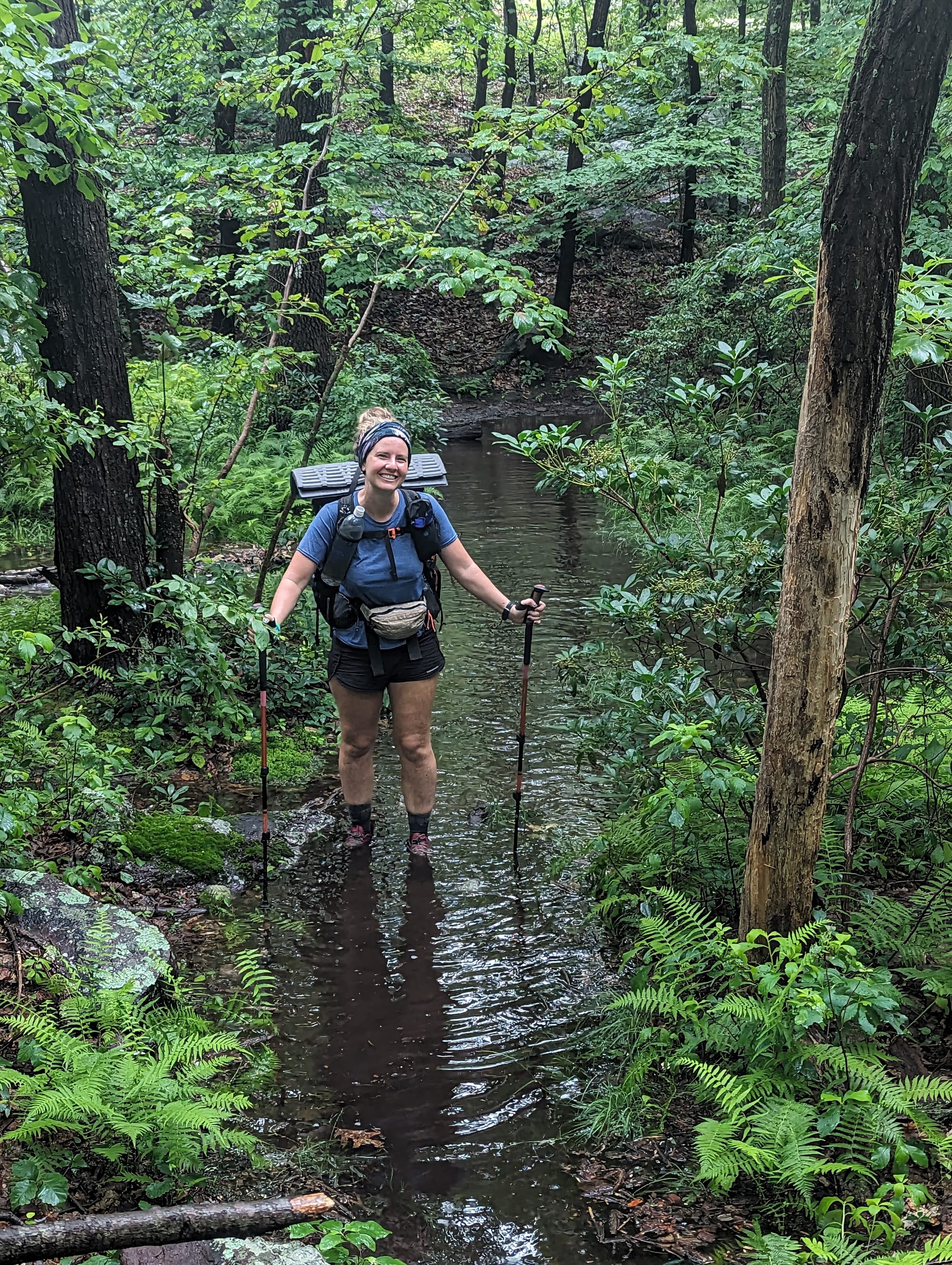
After the long broken ridges of Pennsylvania, the AT entered a landscape shaped more visibly by glaciation. The trail still crossed rocky high ground, but it also moved through wetlands, lakes, rounded ridges, and low corridors where water collected across the landscape. That mix made the section like a patchwork of dry high points and wet low ground.
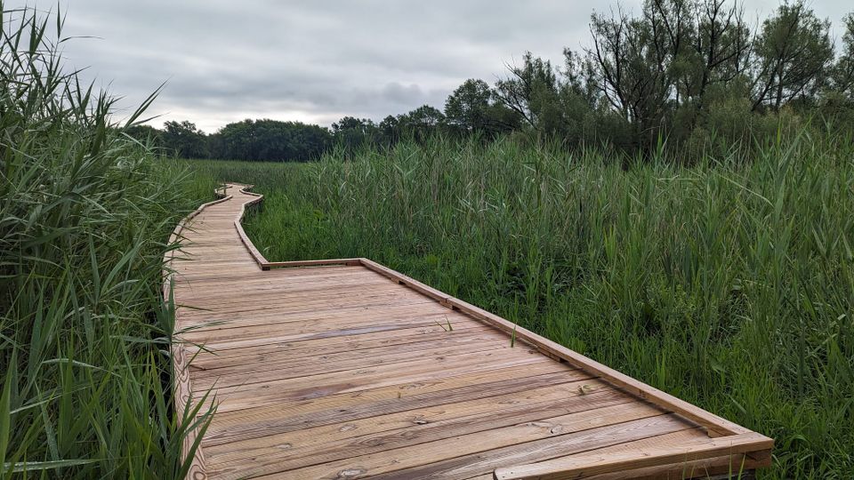
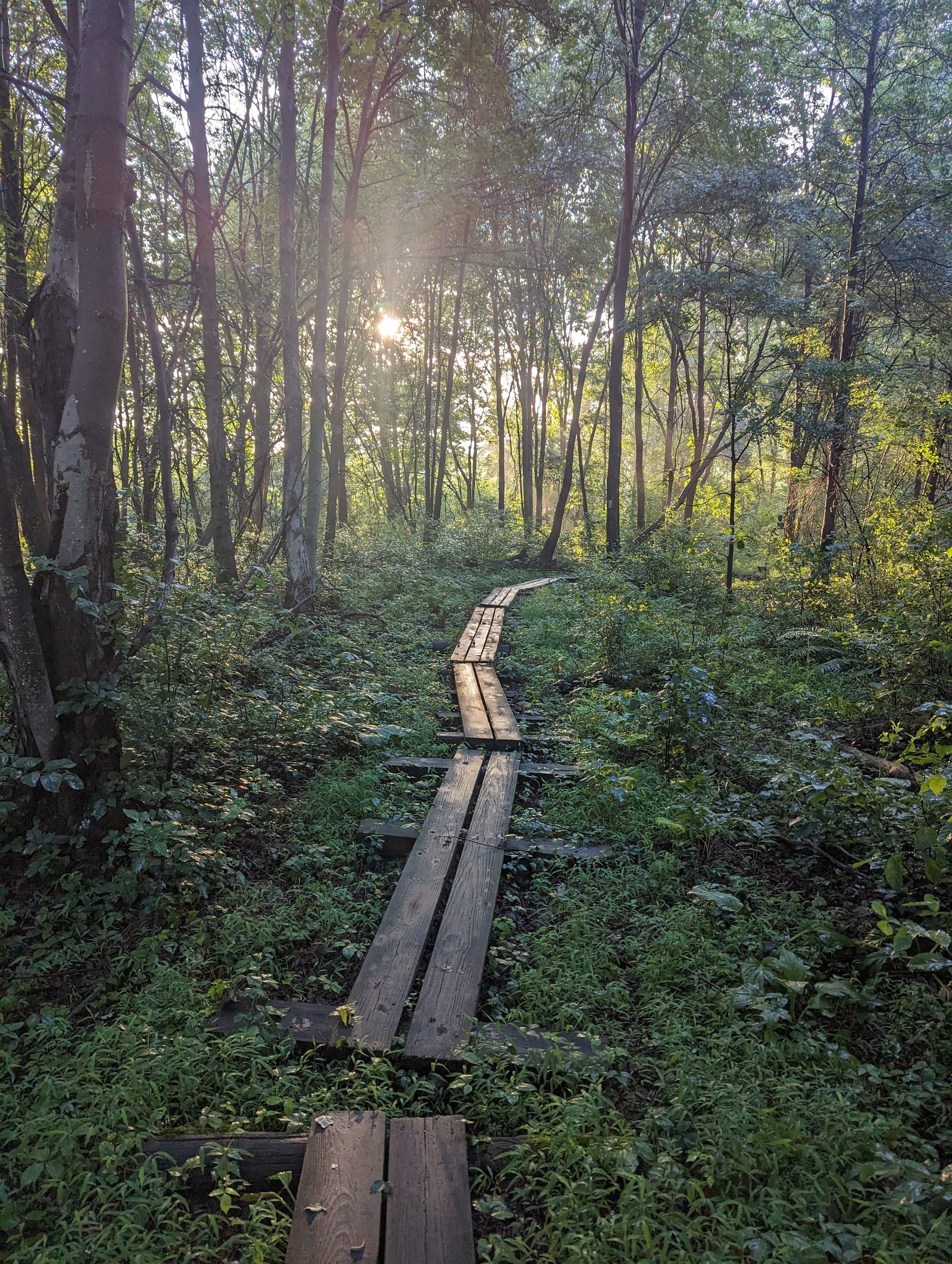
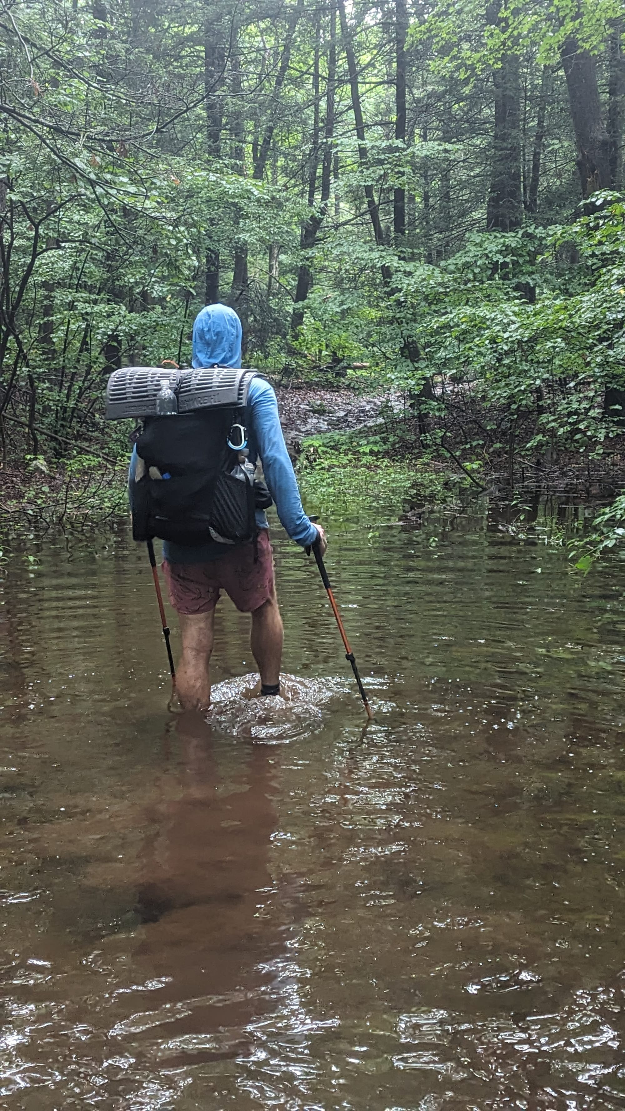
The boardwalks made that shift obvious. For months, the AT had mostly meant climbing ridges, descending gaps, and walking forested mountain tread. In New Jersey, the trail crossed swampy wetlands on long wooden walkways, including stretches where the route felt more like marsh crossing than mountain trail. It was still the AT, but it was using a completely different kind of terrain.
New York added short, steep climbs, exposed rock, and heavily used state-park corridors. The trail was close to roads and towns more often, but the land itself still had bite. Instead of long sustained climbs, the difficulty came from constant small transitions: ridge to road, wetland to forest, rock slab to lake edge, quiet woods to busy park.
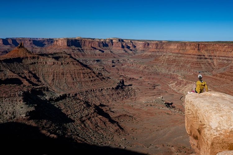
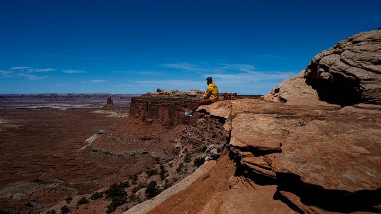
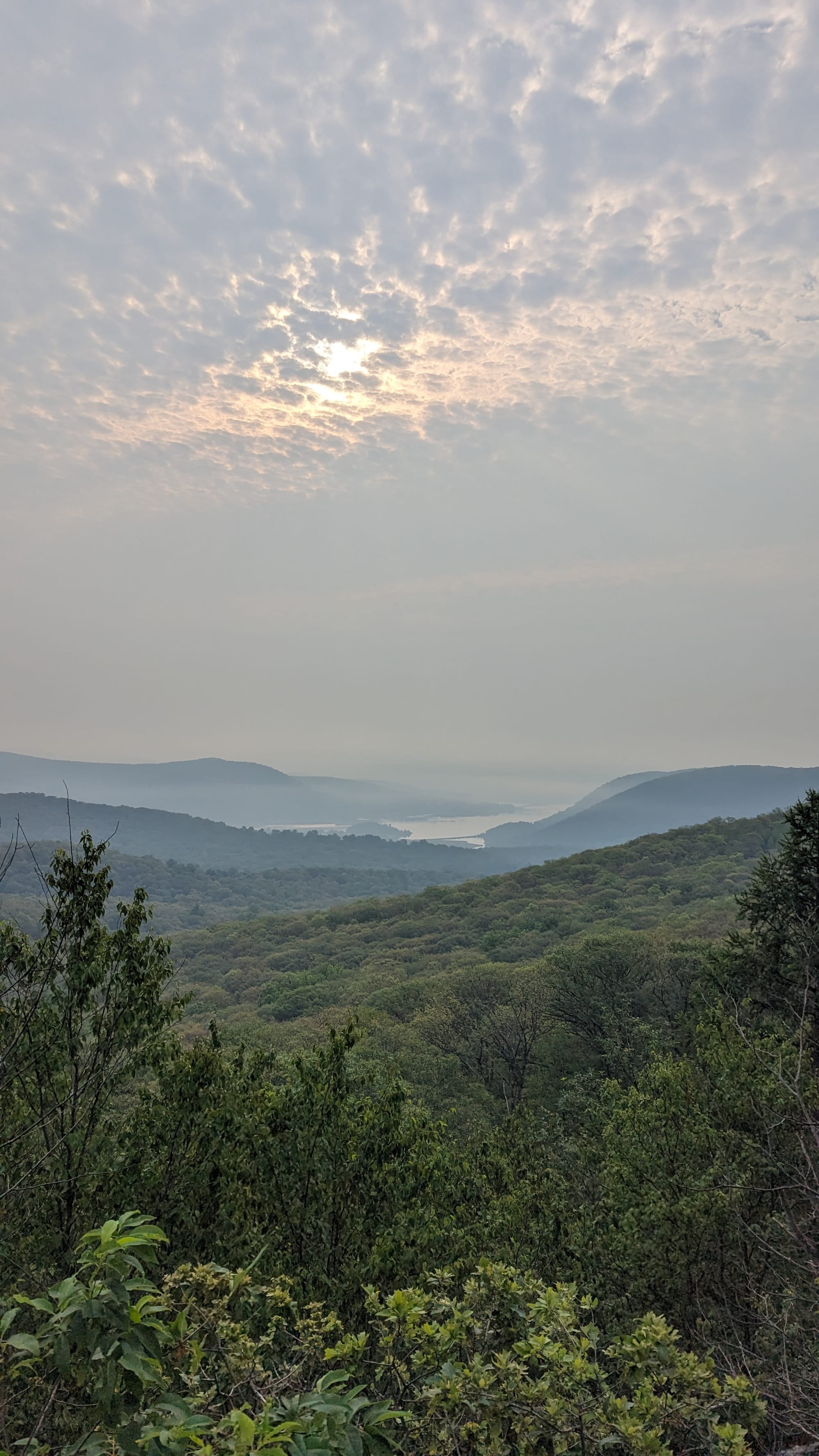
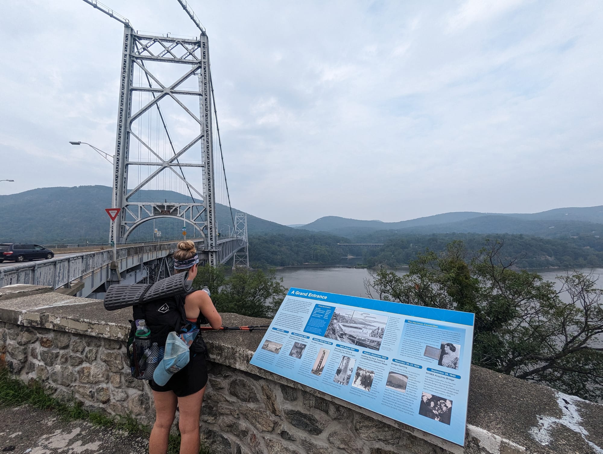
Harriman and Bear Mountain should have been packed, but storms and trail closures had emptied them out when we passed through. That gave us a rare version of those park overlooks, wet trails, and quiet views without the usual crowds.
This section was not remote in the traditional AT sense. That was the point. New Jersey and New York showed how the trail could pass through heavy human density and still find ridges, wetlands, lakes, shelters, and pockets of quiet.


🥾 On the Trail
- Mileage pattern: steady ~20ish mile days
- Water: generally available
- Shelter rhythm: shelters and tenting
- Trail towns / resupply points: Delaware Water Gap · Unionville · Vernon · Greenwood Lake · Fort Montgomery · Pawling
- Crowd level: scattered thru-hikers · heavy day-use near popular parks
- Best remembered for: boardwalks, delis, lakes, humidity, and the city glow from West Mountain
Trail Rhythm
We were moving well by this point.
Without Akela, the days were simpler and the miles came easier. Most days hovered around 20 miles, adjusted up or down depending on weather, terrain, and where it made sense to stop.
New Jersey was wet and warm. The hiking was good: not too hard, not too easy, and different enough from Pennsylvania. At some point in New Jersey, I stopped hiking in a shirt. It was too hot, too wet, and too pointless. My shirt would be soaked early, rinsed or wrung out multiple times, and useless by afternoon. Hiking shirtless with a pack towel at my waist made more sense. It cushioned the hip belt, absorbed sweat, and let me keep one dry shirt for camp.
Food access was way easier. In this section, you could almost hike from town food to town food. Pizza, deli sandwiches, ice cream, and quick resupplies were close enough that carrying large amounts of food felt less necessary. It was one of the few stretches where the AT felt unusually generous that way.
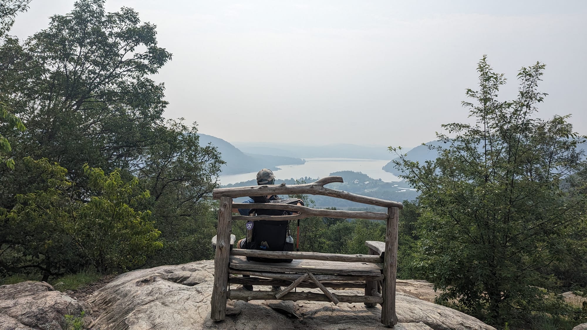
We did not go into New York City. We had spent enough time there in previously, and the city did not feel like it belonged inside this hike. But we did take the long route around and stayed at West Mountain Shelter, where haze and city lights were visible in the distance. Since that route was technically on a blue blaze after an AT reroute, we had the entire shelter and campsite to ourselves.

That felt like the right version of New York for this adventure: close enough to see the city, far enough away to stay on trail.
Getting into Harriman and Bear Mountain added another strange layer. We had to cross fast roads where drivers seemed to be moving at a completely different speed than us. The parks themselves had been hit by heavy rain and storms, with flooding and washouts affecting trails and closures in the area. We kept moving through anyway.
Because of that, we got an unusually quiet version of Bear Mountain. We sat on benches, looked out from viewpoints, and kept saying that New York was a sleeper state for hiking. The parks were beautiful, the views were better than expected, and the lack of crowds made the whole area feel like we had caught it at the exact right time.
Once we moved beyond that area, summer use became more obvious. Day hikers, families, park visitors, and weekend traffic started showing up in force. We called them muggles, like a lot of thru-hikers do: people moving through the same spaces but living by a completely different set of rules.
We also visited friends from our cruise ship years in Fort Montgomery, which fit the section well. New Jersey and New York were full of those intersections: old life and trail life, town noise and wet forest, highway crossings and quiet shelters, boardwalks and ridgelines, city glow and backcountry camp.
⚡ TL;DR
- Section identity: nature and civilization side by side
- Hardest part: heat, humidity, crowds, and terrain that was wetter than expected
- Best part: boardwalks, delis, lakes, quiet Bear Mountain, and the view from West Mountain Shelter
- Most useful lesson: town access did not make the trail less real; it just changed the rhythm
- Place in the larger hike: where the AT shifted from Mid-Atlantic grind toward the busier, stranger edge of New England
Final Takeaway
New Jersey and New York were better than expected because they did not fit the version of the AT we had in our heads. The trail here was wet, humid, developed, loud in places, and still surprisingly beautiful. It was the one section where civilization felt close all the time, but the hike kept finding ways to slip around it.