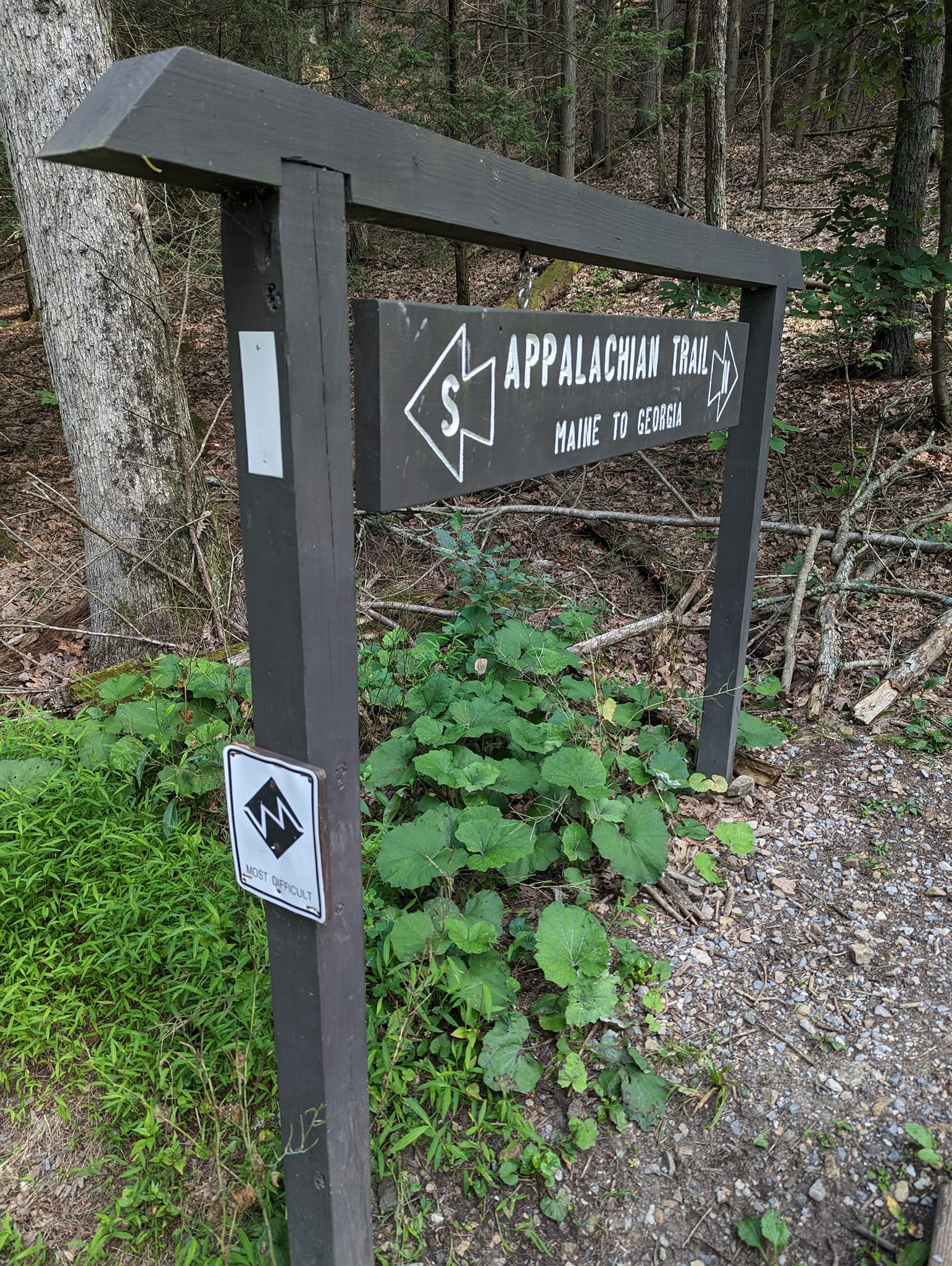
Appalachian Trail | WV, MD, PA
Harpers Ferry felt like a checkpoint more than a finish line.
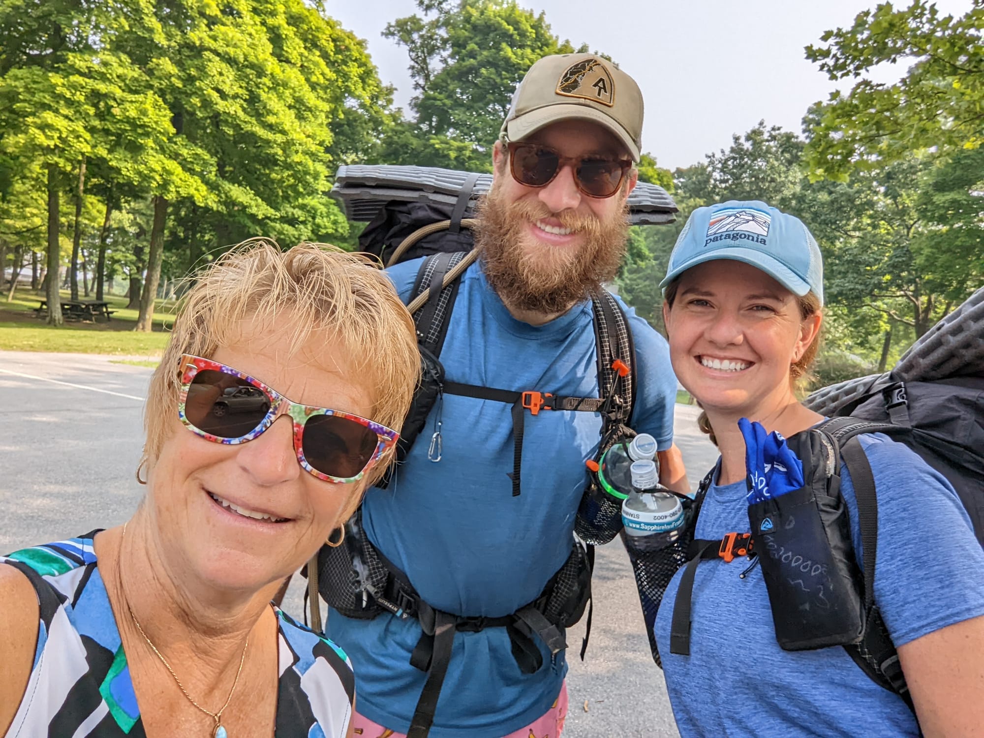
We stayed at Cross Trails Hostel and reconnected with Learning Curve, our AT mentor from way back at Around the Bend Hostel, Proof, Merlin, Chowtown and a few other friendly, familiar faces. Seeing them again near the halfway point made the trail feel connected in a way that was hard to explain at the time. People did not just appear once and vanish. They moved up and down the trail’s orbit, showing up again hundreds of miles later with new stories, new gear, new people, and new perspective.
West Virginia and Maryland passed quickly, but they did not feel like throwaway miles. Maryland surprised us. The trail was well cared for, the shelters felt almost manicured, and the hiking was approachable in a way that made the miles feel open and pleasant.
Pennsylvania changed the tone.
The southern part was still enjoyable, but the farther north we walked, the more the trail became rocks, heat, humidity, rain, and repetition. This was also the section where Akela left the trail, which changed the hike more than any gear swap or mileage adjustment had up to that point.

🗺️ The Lay of the Land
- Section: West Virginia, Maryland & Pennsylvania
- Route: Harpers Ferry to Delaware Water Gap
- AT miles: Approx. 1,025–1,295
- States covered: West Virginia · Maryland · Pennsylvania
- Direction: Northbound
- Landscape: Mid-Atlantic ridges · river gaps
- Terrain: historic corridor · rolling trail · rocky ridgelines · summer forest
- Section role: the transition from southern mountain trail into the Mid-Atlantic
Regional Notes
This section marks the Appalachian Trail’s transition from the southern Appalachians into the ridge-and-valley systems of the Mid-Atlantic.
From Harpers Ferry northward, the trail follows long ridges shaped by ancient sedimentary rock layers that were compressed, uplifted, and eroded over hundreds of millions of years during the formation of the Appalachian Mountains. The terrain shifts away from sustained climbs and high peaks toward narrower ridgelines, river gaps, exposed rock fields, and rolling forest corridors.
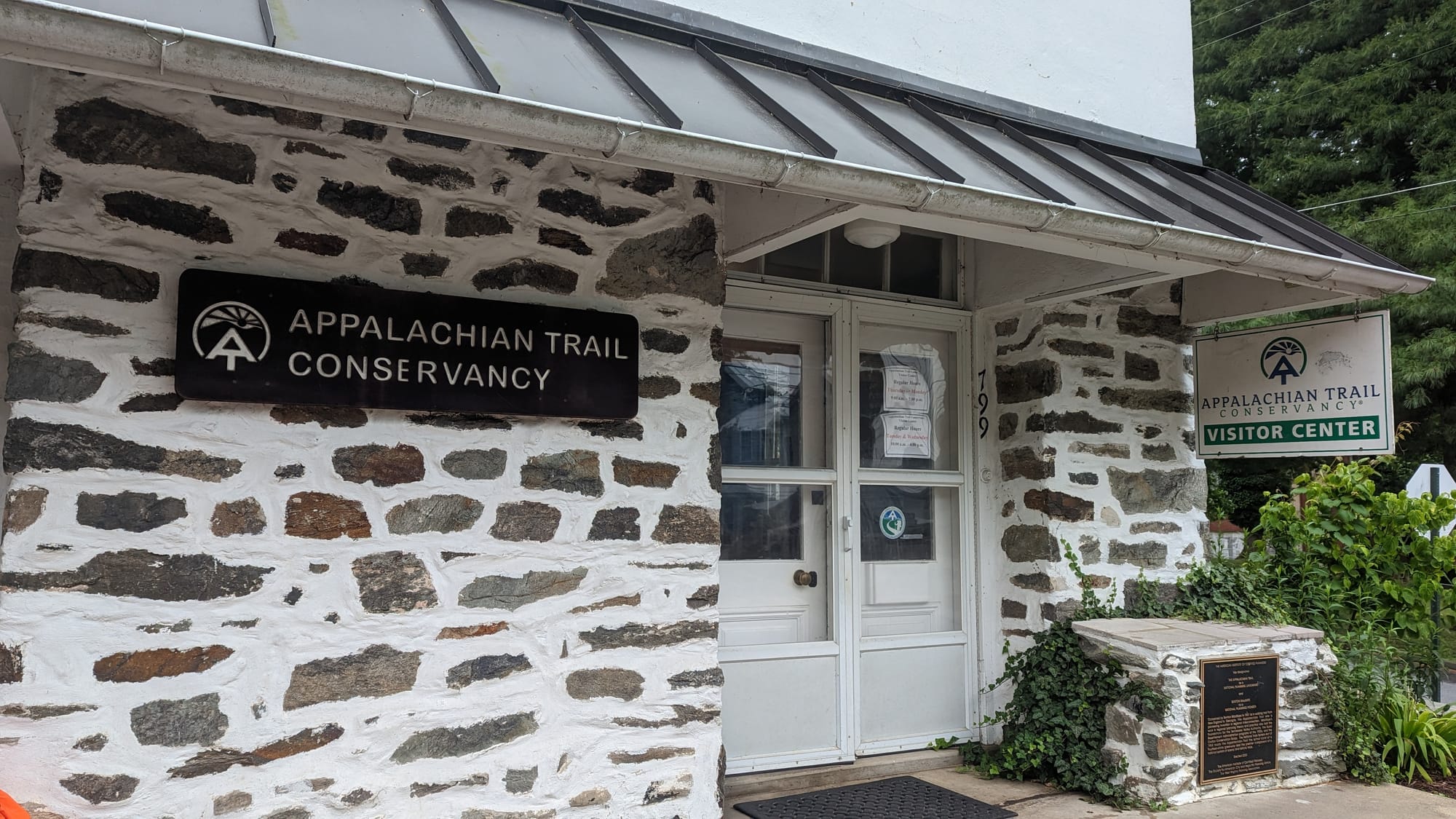
Harpers Ferry sits at the confluence of the Potomac and Shenandoah Rivers. Because of that geography, the area became an important transportation corridor long before the Appalachian Trail existed. The AT passes directly through layers of rail, canal, and Civil War history in this section.
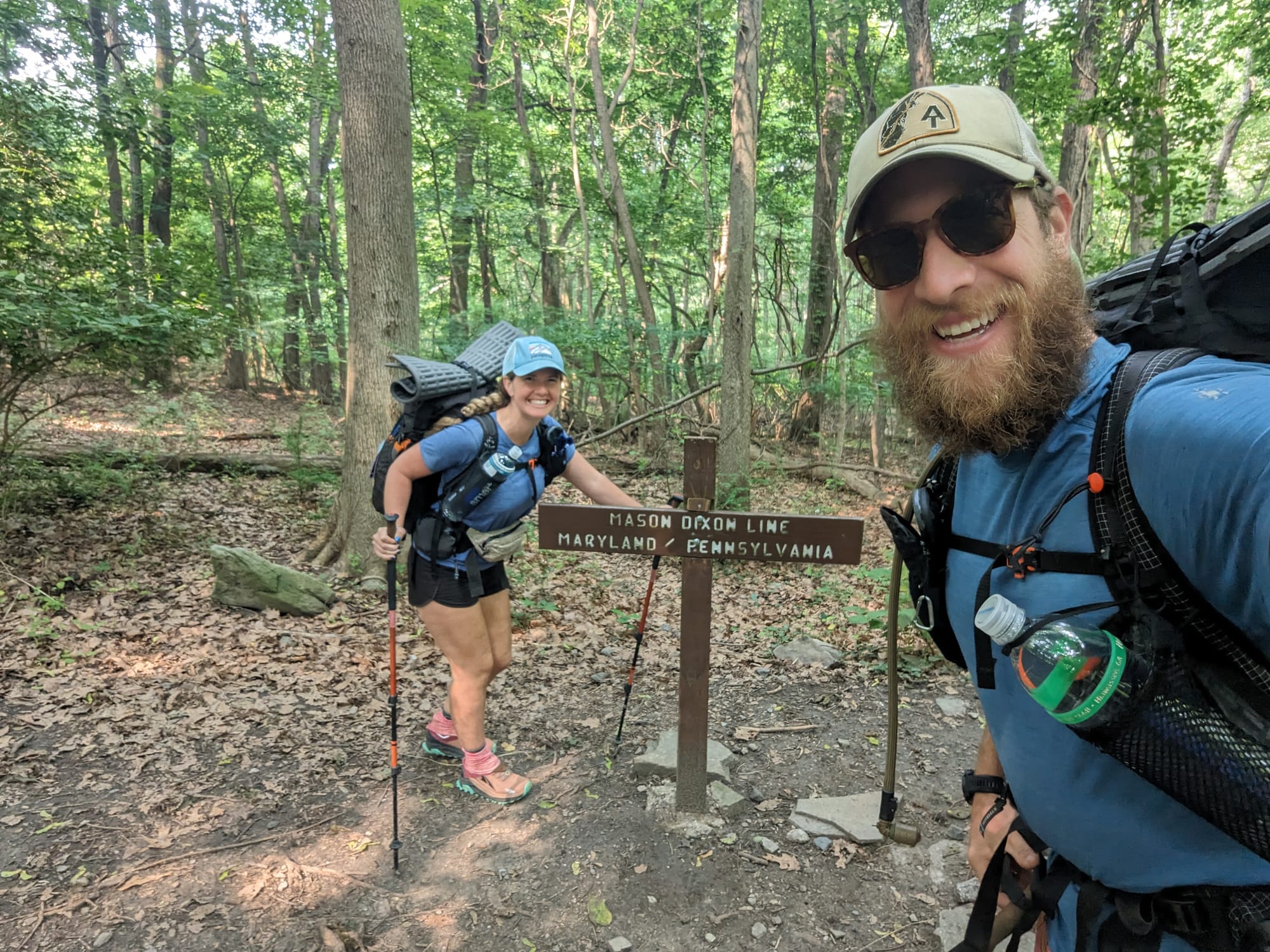
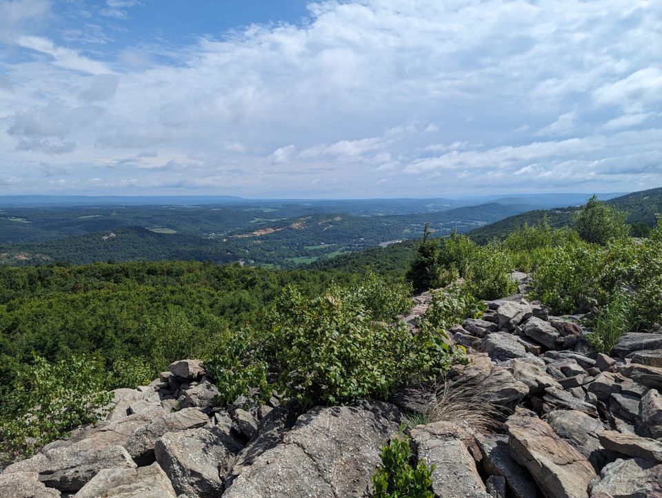
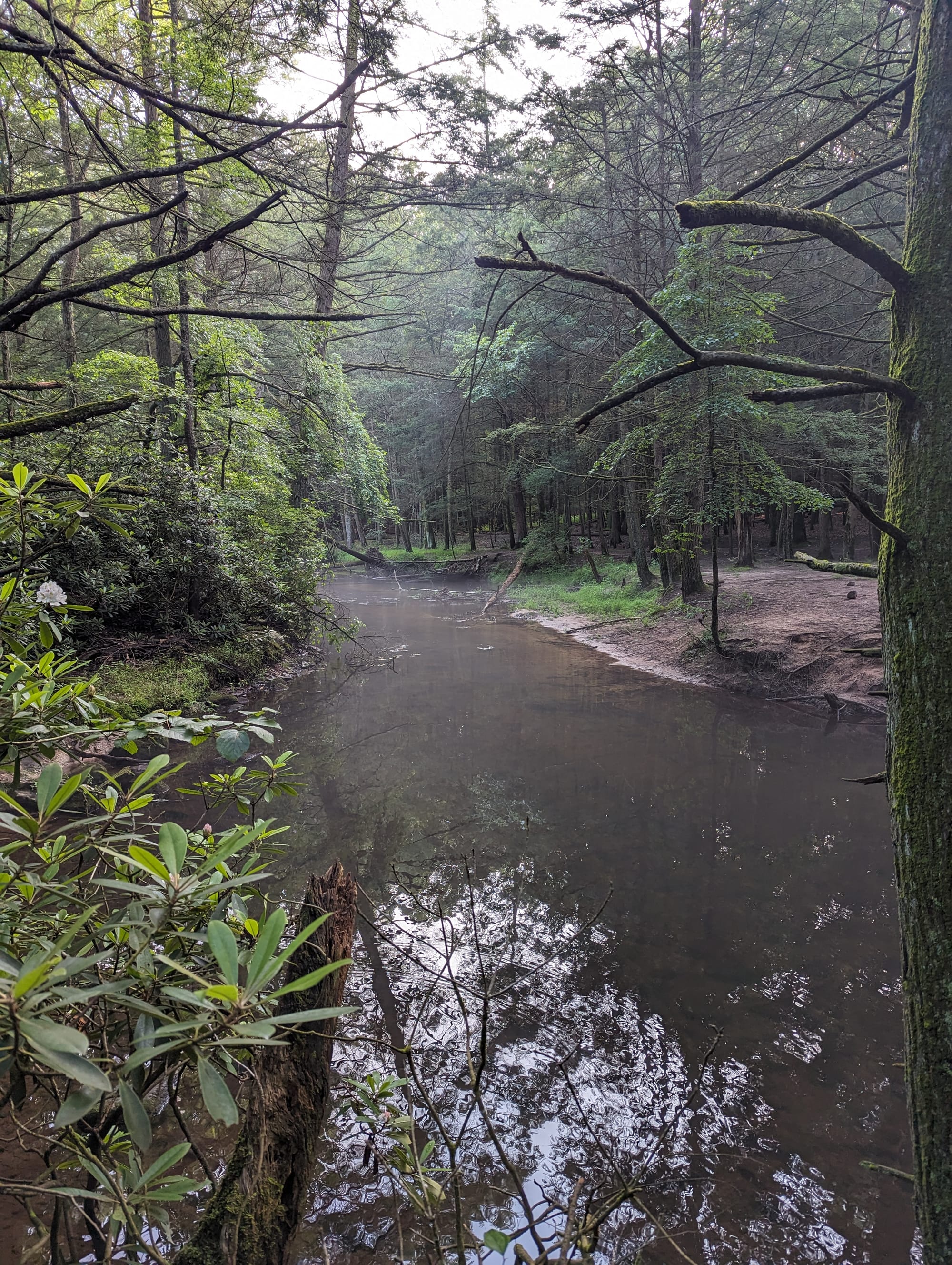
Maryland, the shortest state on the AT, covers roughly 40 miles of moderate terrain along South Mountain. The trail moves through mixed hardwood forest, low ridges, and historic battlefield areas, with frequent shelters, water sources, and well-maintained infrastructure compared to many earlier sections.
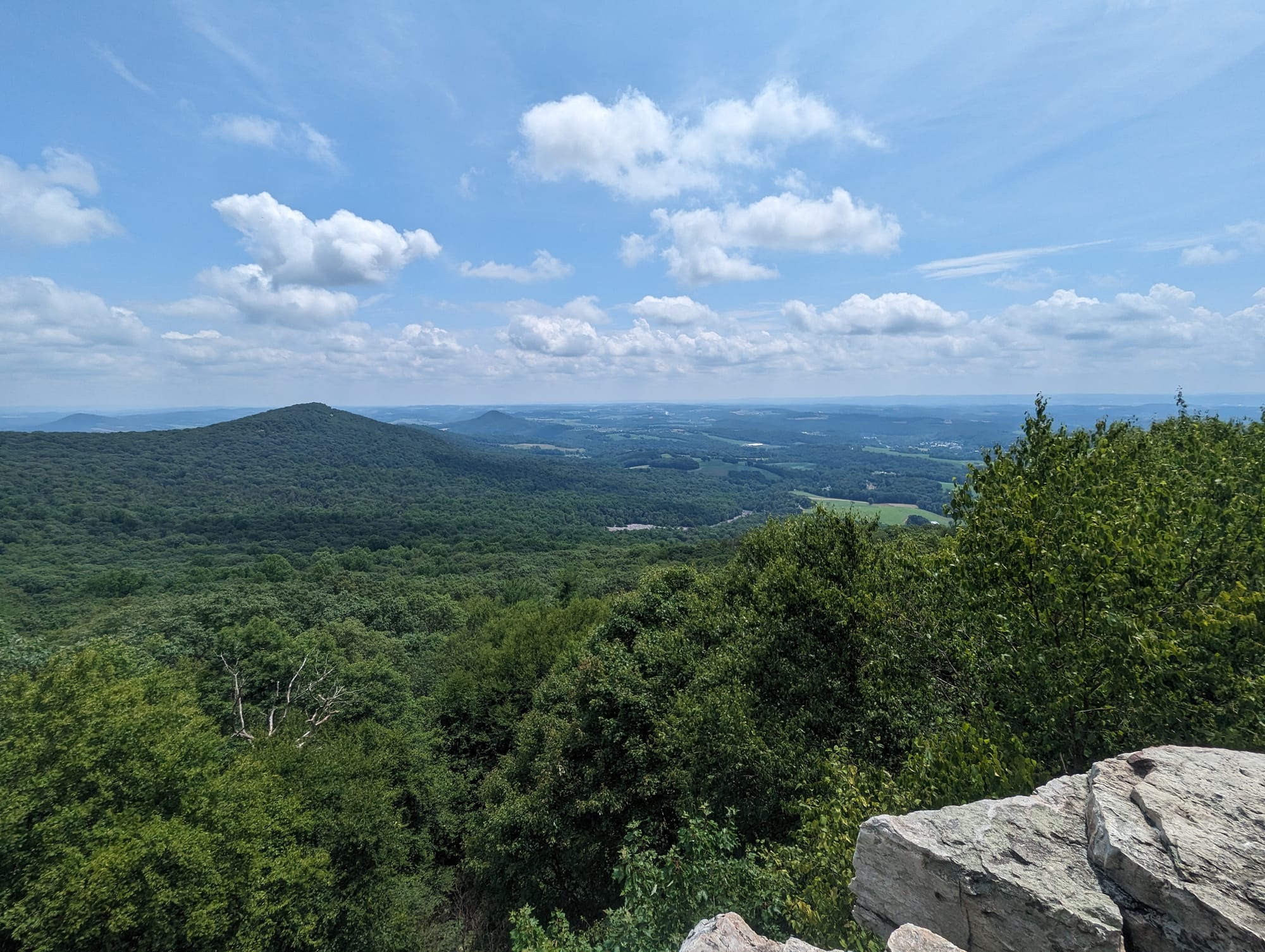
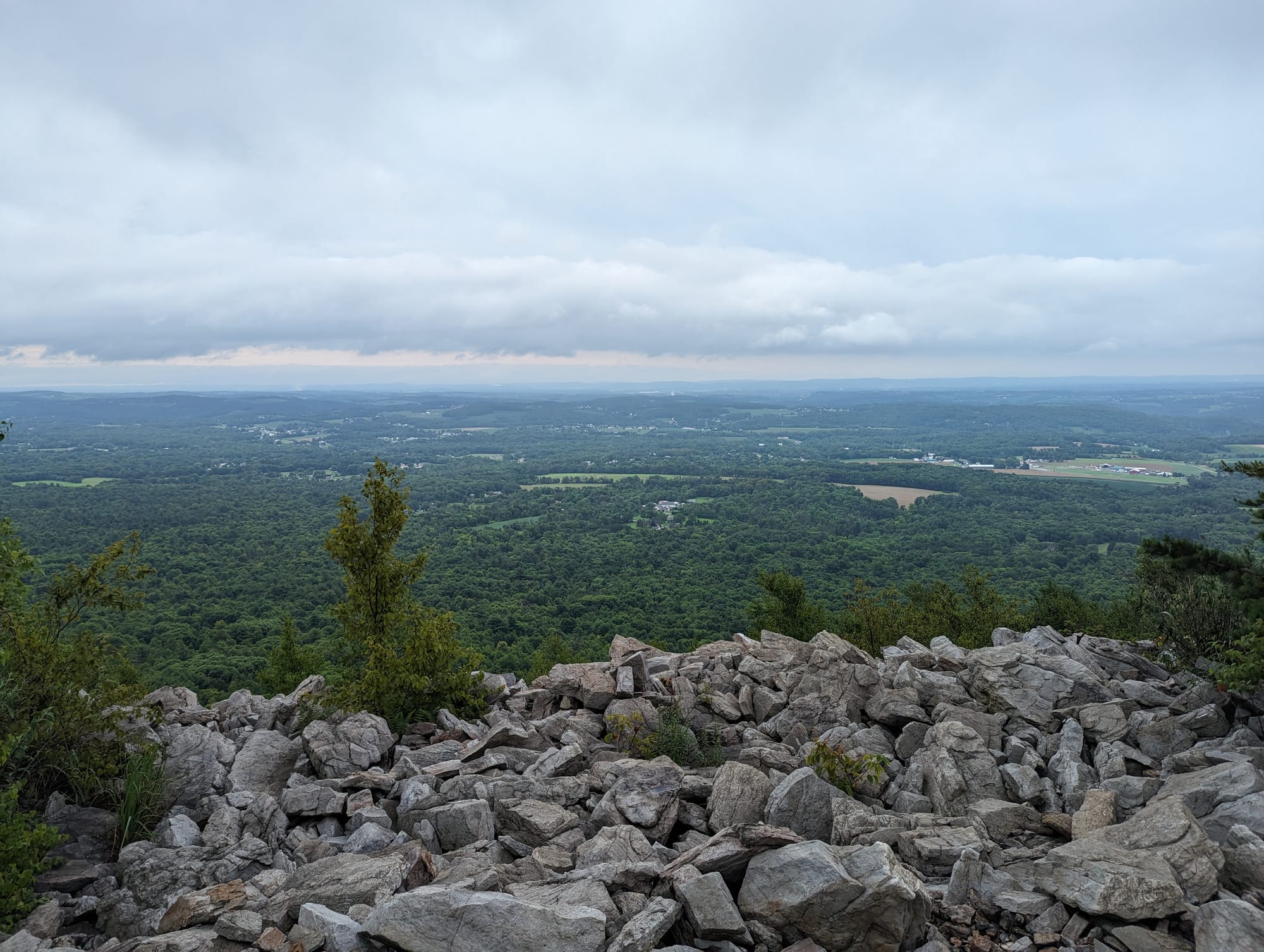
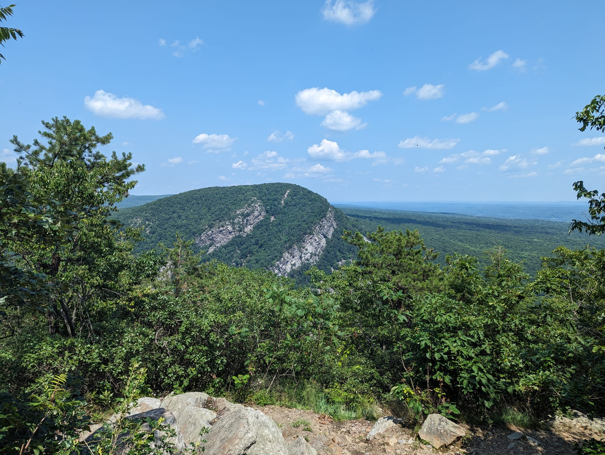
Pennsylvania introduces the long ridge systems that define much of the state’s Appalachian geography. Southern Pennsylvania is comparatively smooth, but farther north the trail crosses extensive fields of broken quartzite and sandstone created through erosion and freeze-thaw cycles. These rocks are what give Pennsylvania its reputation as “Rocksylvania” among thru-hikers.
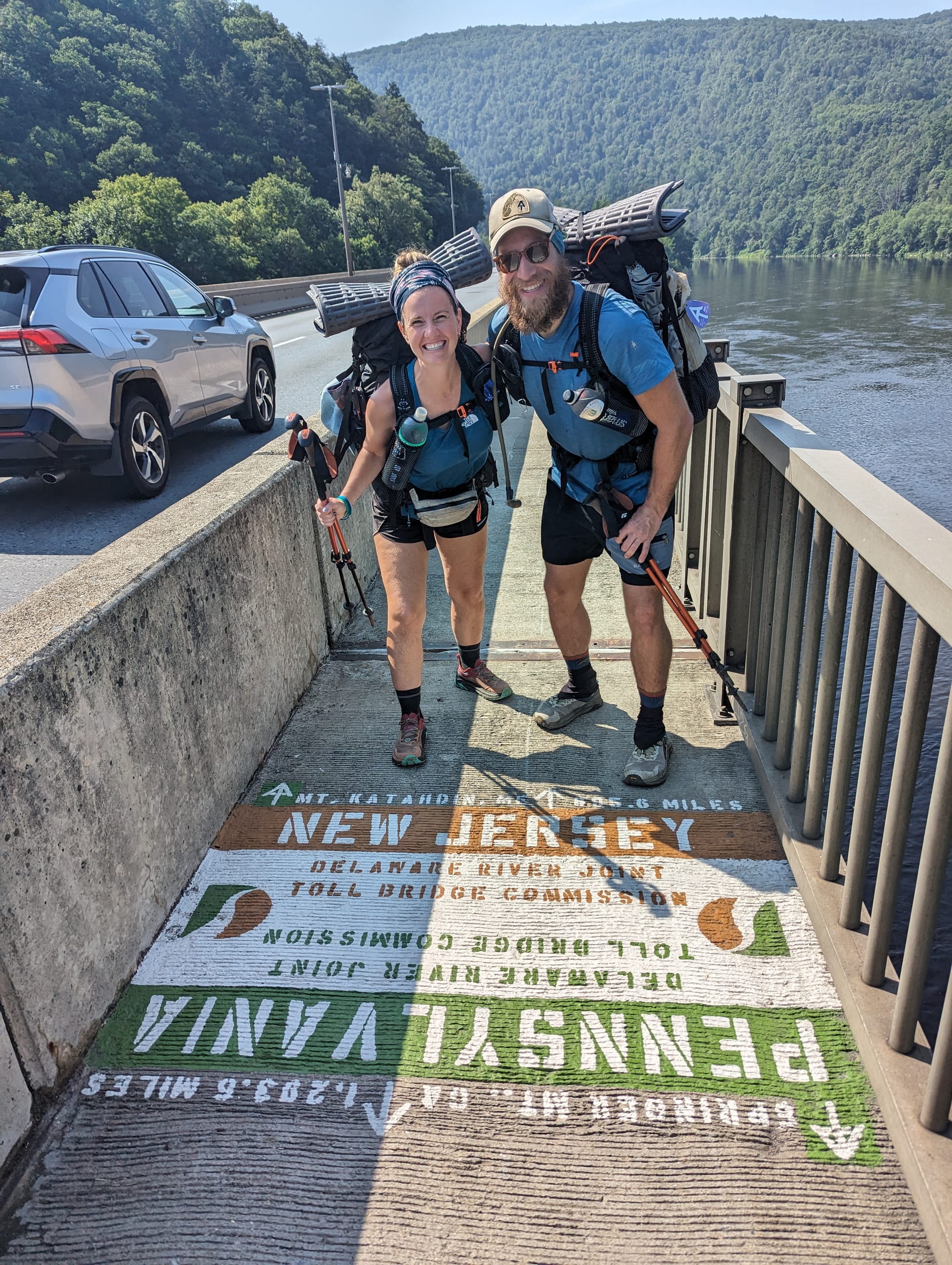
The trail also passes through several major water gaps where rivers cut directly across ridges, including the Susquehanna near Duncannon, Lehigh Gap near Palmerton, and Delaware Water Gap at the New Jersey border. These crossings create some of the most dramatic terrain in the region, with steep rock faces and broad views across the landscape.
Compared to the southern Appalachians, this section is lower in elevation but harsher underfoot. Heat, humidity, exposed ridges, and uneven rock make the terrain more physically demanding than the elevation profile suggests.
🥾 On the Trail
- Mileage pattern: steady 15- to 20-mile days · first marathon day
- Water: more available than expected because of frequent rain
- Shelter rhythm: moderate shelter use · more primitive sites
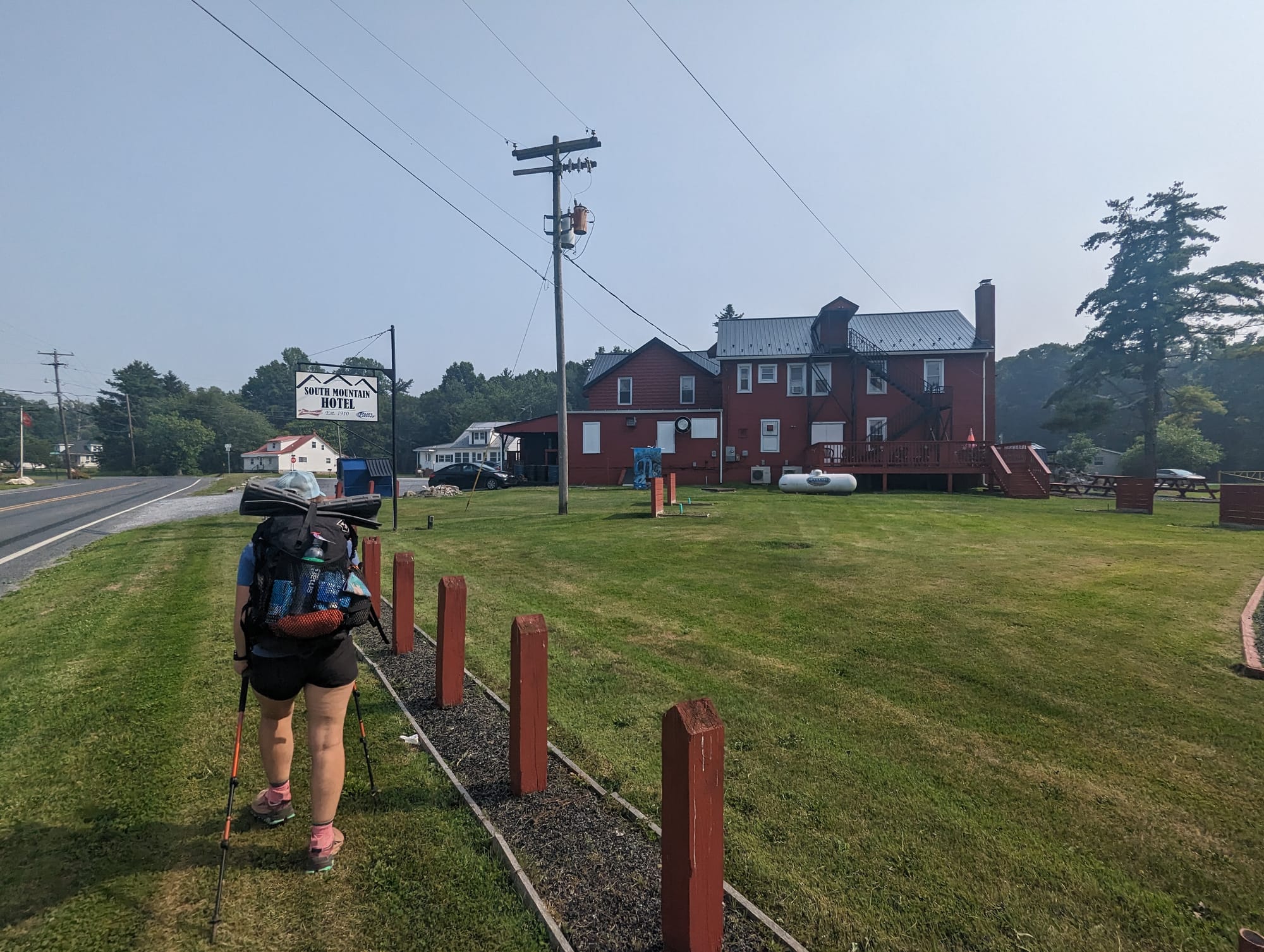
- Trail towns / resupply points: Harpers Ferry · Duncannon · Port Clinton · Palmerton · Delaware Water Gap
- Crowd level: spread out · familiar hikers still crossing paths
- Best remembered for: Maryland shelters, Akela leaving, Pennsylvania rocks, and the storm day on Knife Edge
Trail Rhythm
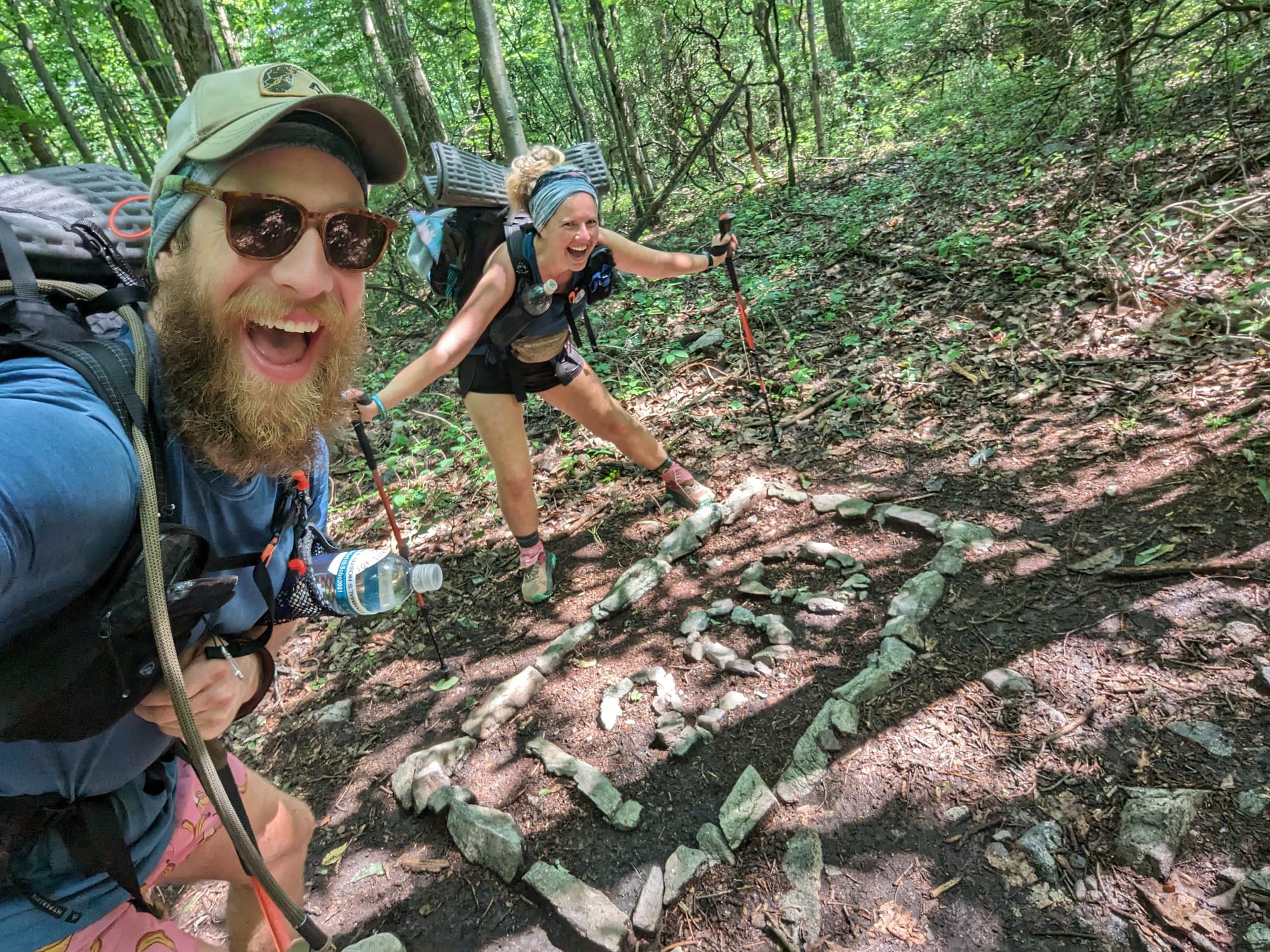
We stayed mostly in the same 15- to 20-mile range that had been working for us through Virginia. The bigger shift was not mileage. It was who was walking with us.
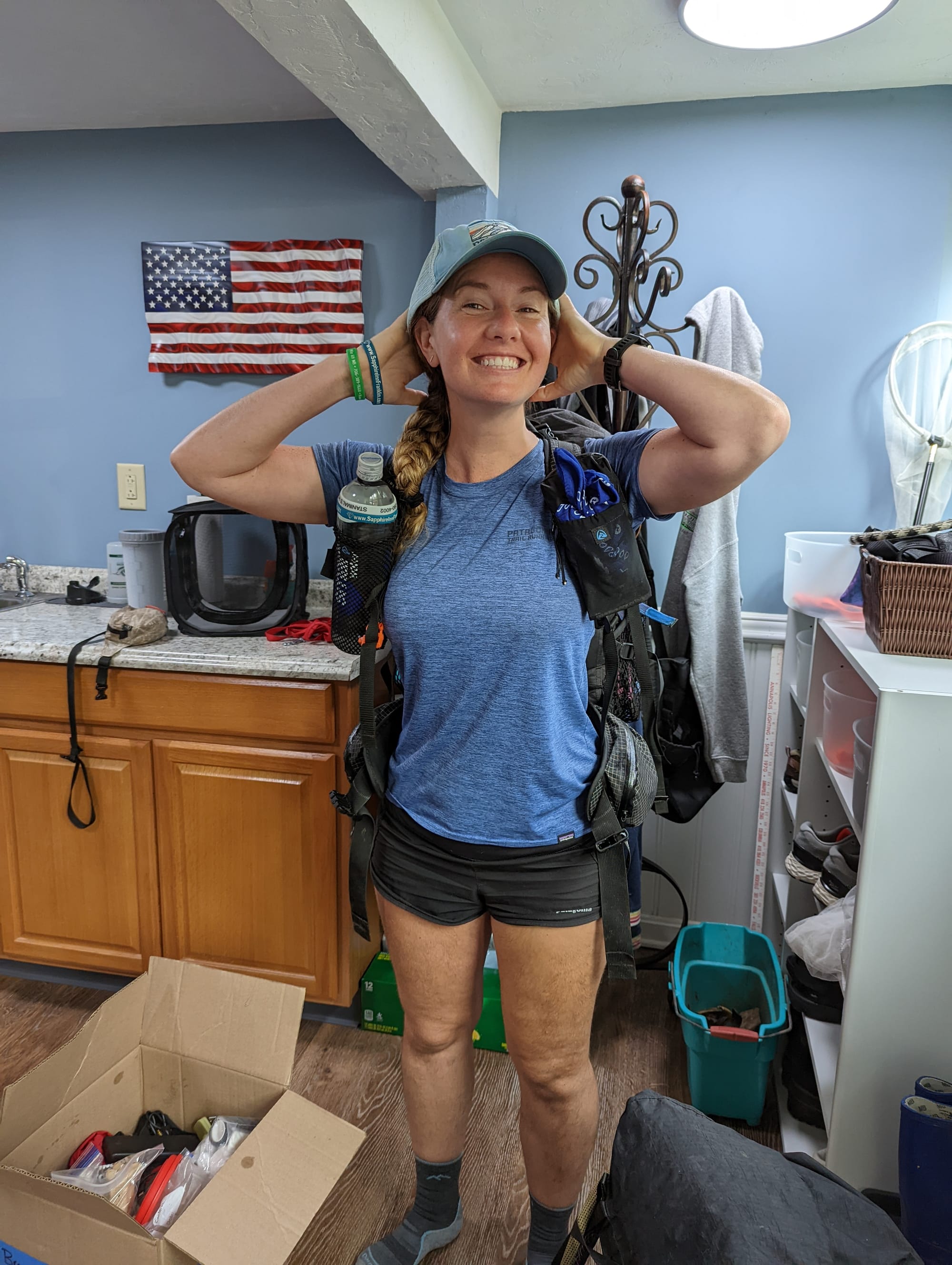
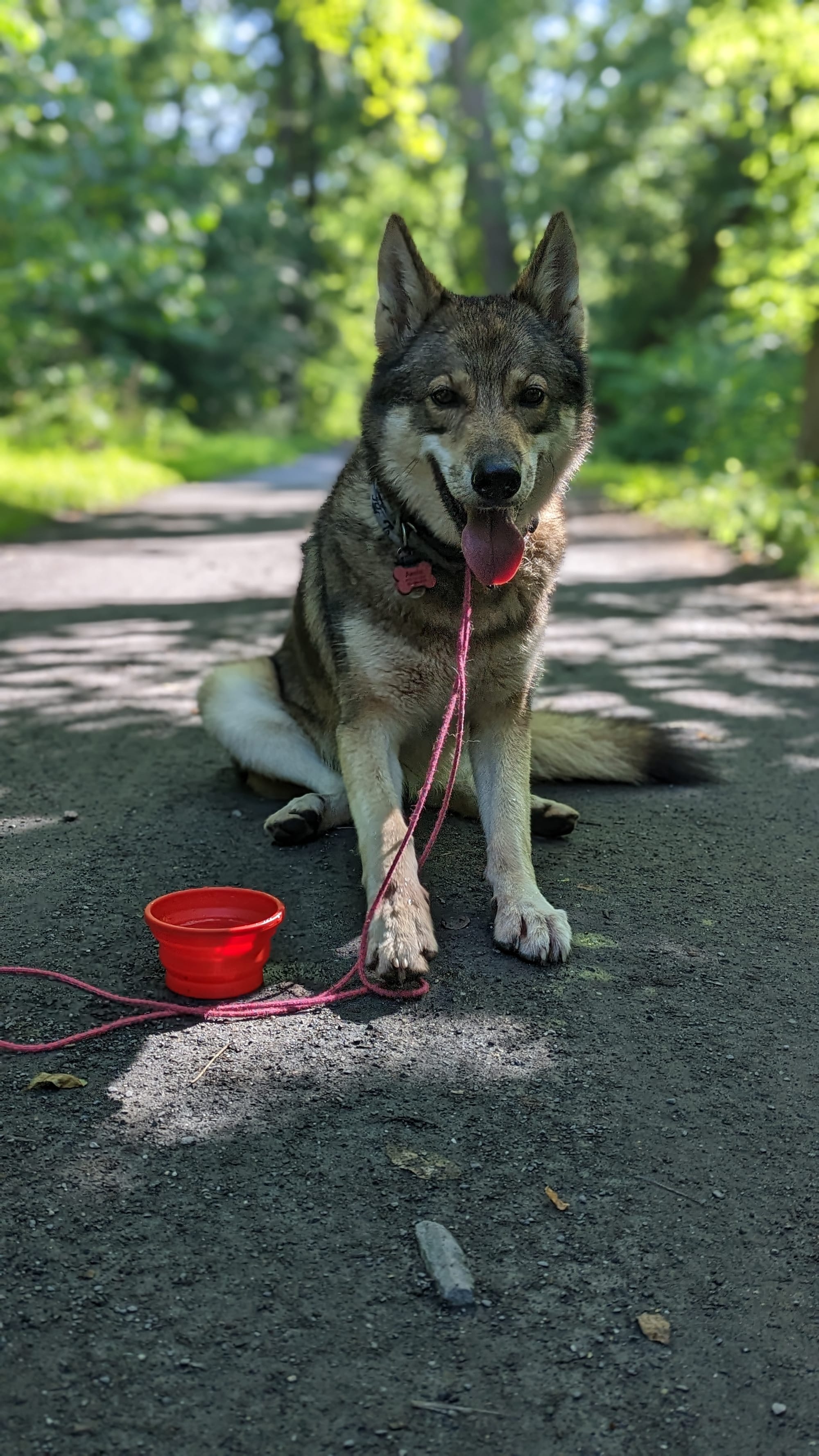
Near the Maryland/Pennsylvania border, my mom came to visit family who lived nearby, and we made the decision to send Akela home with her to Ohio.
We had talked about the possibility ahead of time. The weather was getting warmer, Pennsylvania had a reputation for rocks and dry stretches, and we had been hearing for weeks that the trail would only get rougher from here. The visit created a practical window to make the handoff.
It was the right decision, but it was not easy.
Akela left healthy, strong, and uninjured. That mattered. She had hiked more than 1,200 miles with us, and we were able to send her home before the trail forced the decision through injury, heat, or exhaustion. Afterward, mom sent pictures and videos of her walking, resting, and enjoying the couch, which helped.
Still, we missed her immediately. We lost our hiking partner.
The strange part was how much easier everything became. Camp setup and breakdown was faster. Town stops were simpler. Both of us could go inside places at the same time. Food weight dropped. We felt guilty about how noticeable that difference was.
For the first time, we were hiking like a more standard thru-hiking pair. After 1,200 miles of building the day around three bodies, moving as two felt almost too simple.
Maryland gave us a gentle transition into that new version of the hike. The trail was easy enough to enjoy, and the shelters showed real care from the people maintaining that section. You don't have to be a seasoned hiker to enjoy that section of trail.
Pennsylvania did not feel that way for long.
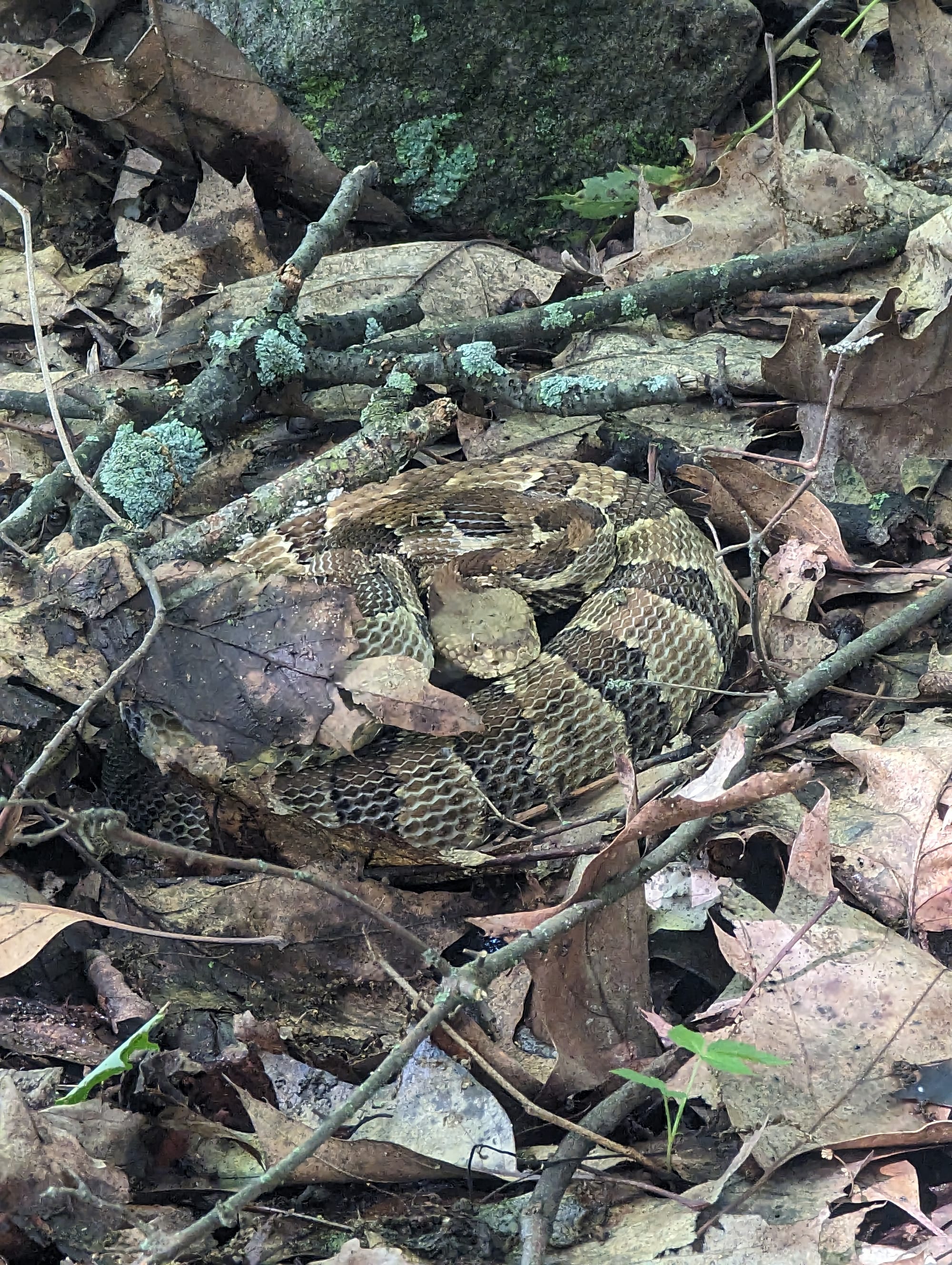
The rocks became more than a joke. Rocksylvania strikes. Day after day, the trail demanded attention from the feet. This is when you earn your Trail Ankles. The walking was uncomfortable. Add heat, humidity, and steady rain, and northern Pennsylvania became one of the few parts of the trail I did not look back on with much affection.
We were warned about dry stretches, but that was not our experience. We had more water than we knew what to do with. The problem was that much of it was falling from the sky. We walked wet through humid forest and over slick rock, with enough storms to make the section feel heavier than it looked on paper.
One standout memory is hiking near Knife Edge.
A thunderstorm rolled in while we were on exposed rock, and there was no clean way to stop. We were already wet. Our dry gear was packed away and protected. Sitting under umbrellas or rain jackets for the rest of the day did not make sense, so we kept walking.
The original plan was a normal 12- or 13-mile day. We reached one shelter and it was full. We kept going. We reached another, and it was full too. By then the only reasonable option was to keep moving until we found a place to stop.
That slog became our first marathon day.
By evening, the rain had finally cleared enough for us to set up the tent without soaking everything. We were wet, but the gear stayed dry, and that felt like a tiny win.
By the time we reached Delaware Water Gap, we were ready for the scenery to change. We were ready to be done kicking rocks. We were ready for whatever came next.
⚡ TL;DR
- Section identity: the Mid-Atlantic transition
- Hardest part: northern Pennsylvania rocks, humidity, and repeated rain
- Best part: Maryland’s well-kept trail corridor and the momentum out of Harpers Ferry
- Most useful lesson: a section does not have to look dramatic on paper to wear you down
- Place in the larger hike: where the trail changed texture, and where we learned what hiking without Akela felt like
Final Takeaway
West Virginia, Maryland, and Pennsylvania changed the hike by changing its texture. The miles were not the biggest, and the mountains were not the highest, but this was the first section where the trail felt abrasive in a way we could not fully solve. By Delaware Water Gap, we were ready for a new state, new footing, and a different kind of trail.