Badlands National Park
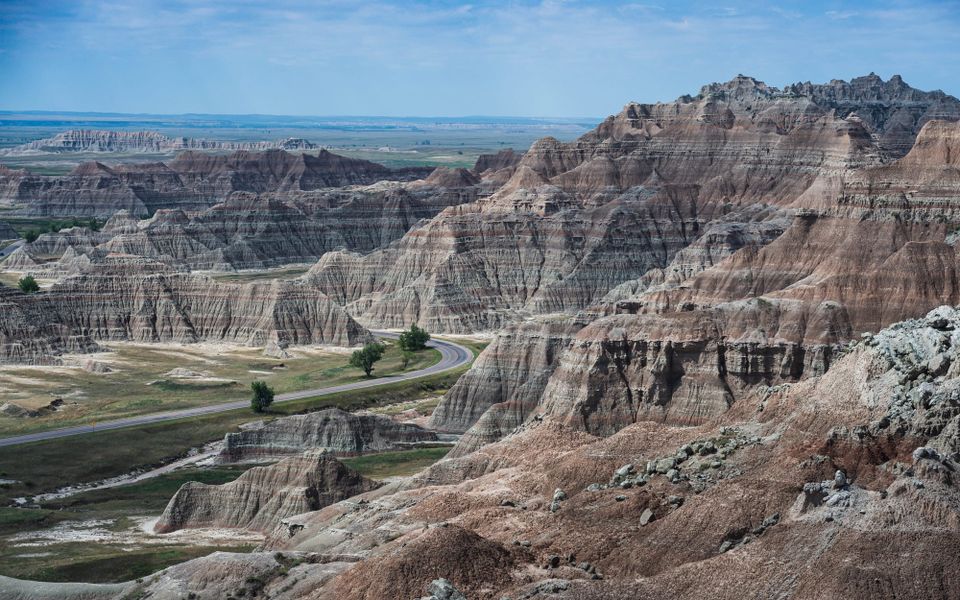
Badlands National Park raises a basic question almost immediately: what made that?
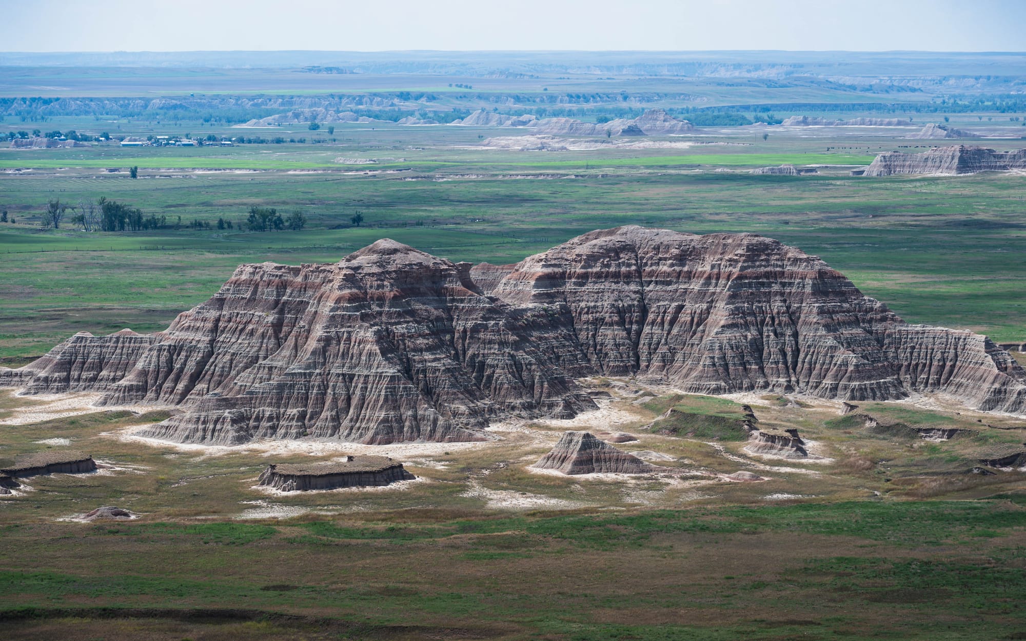
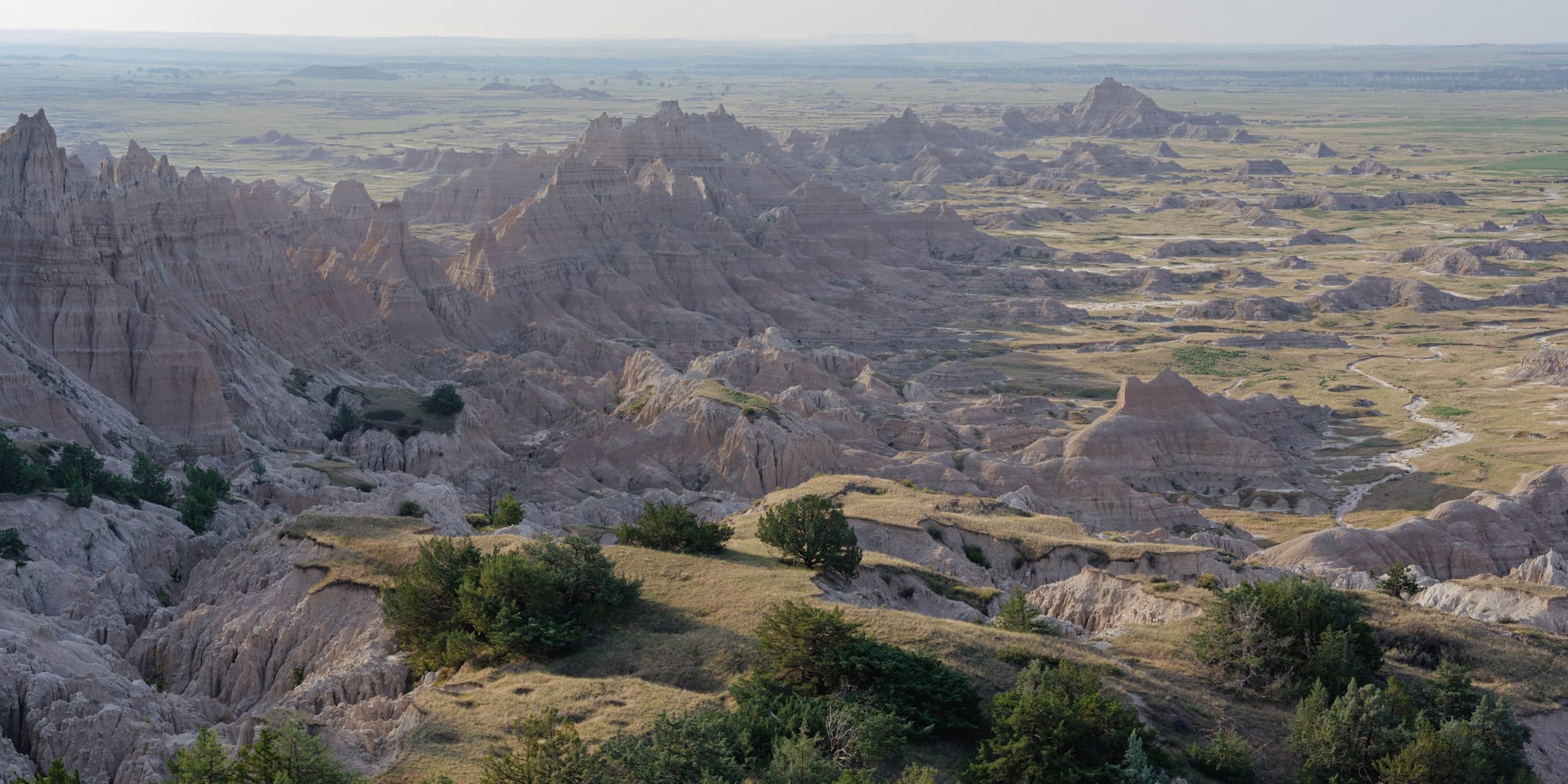
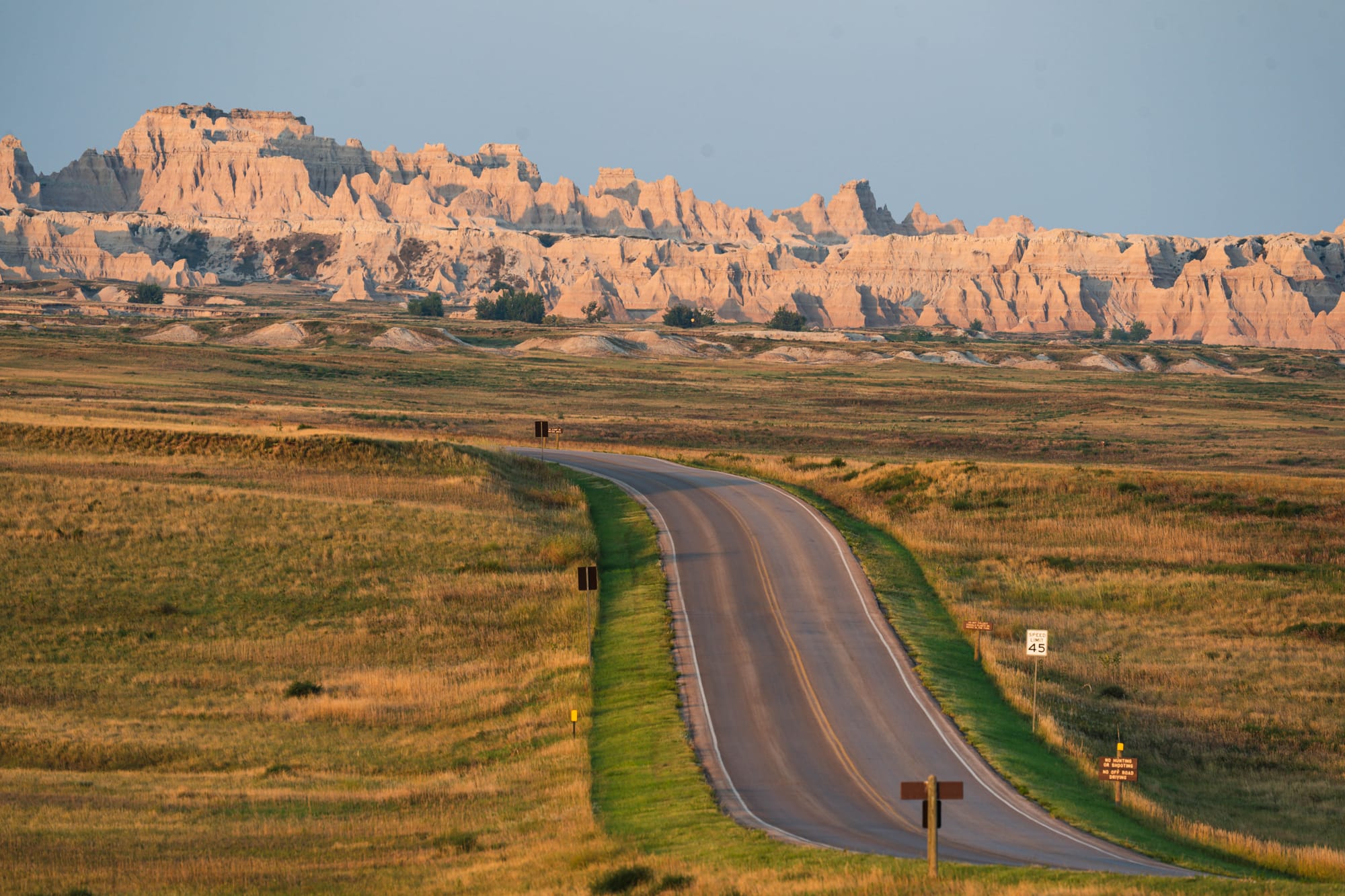
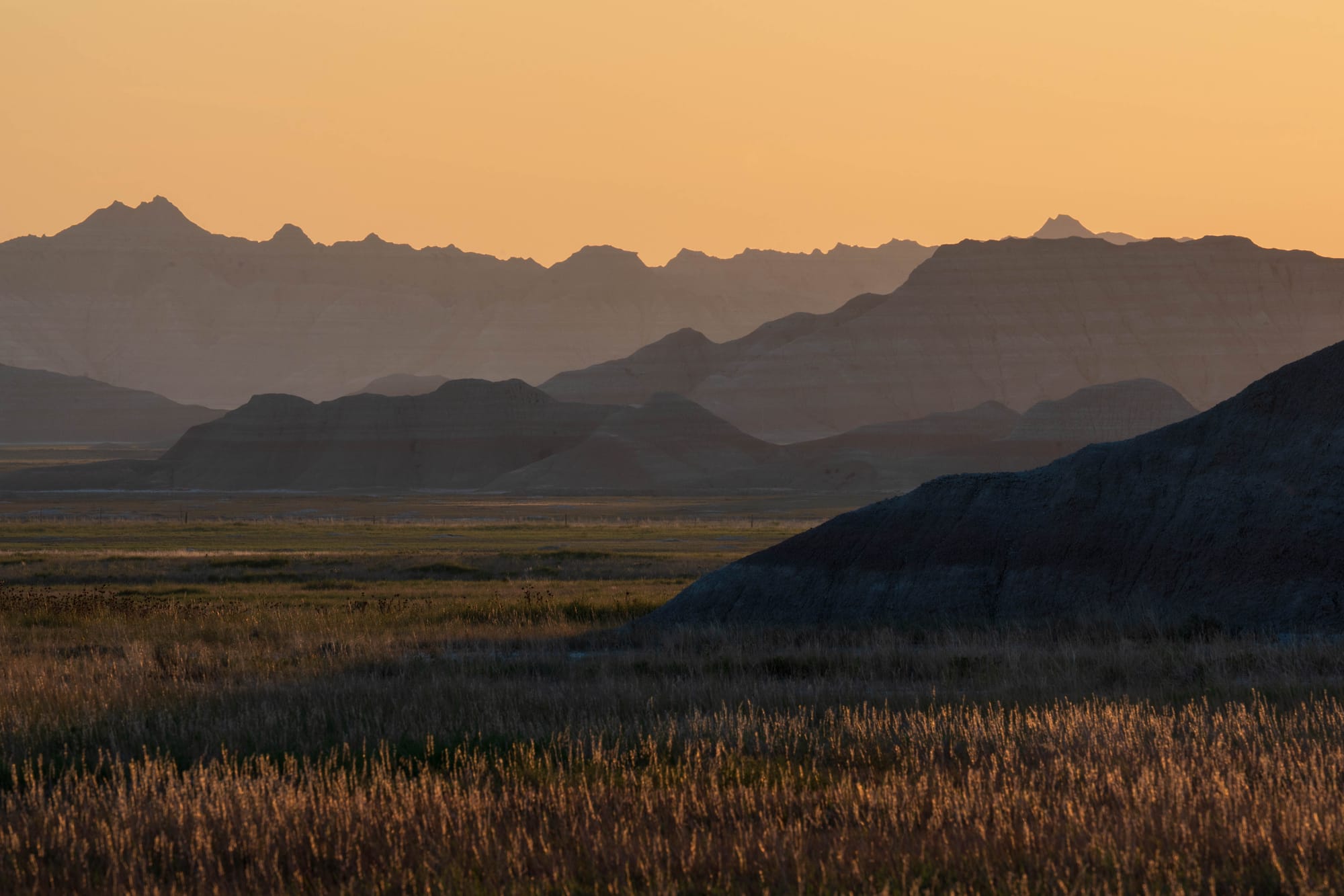
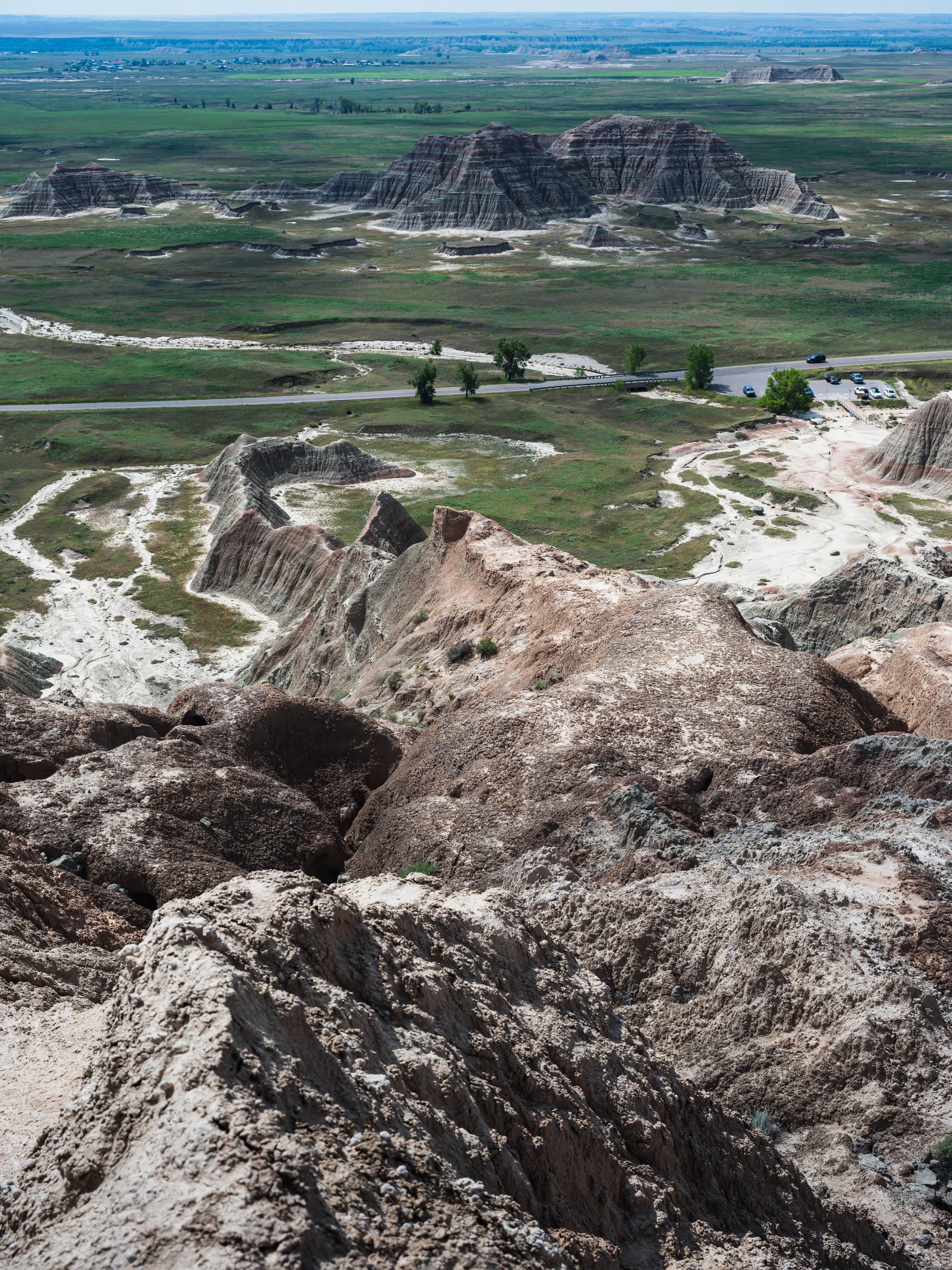
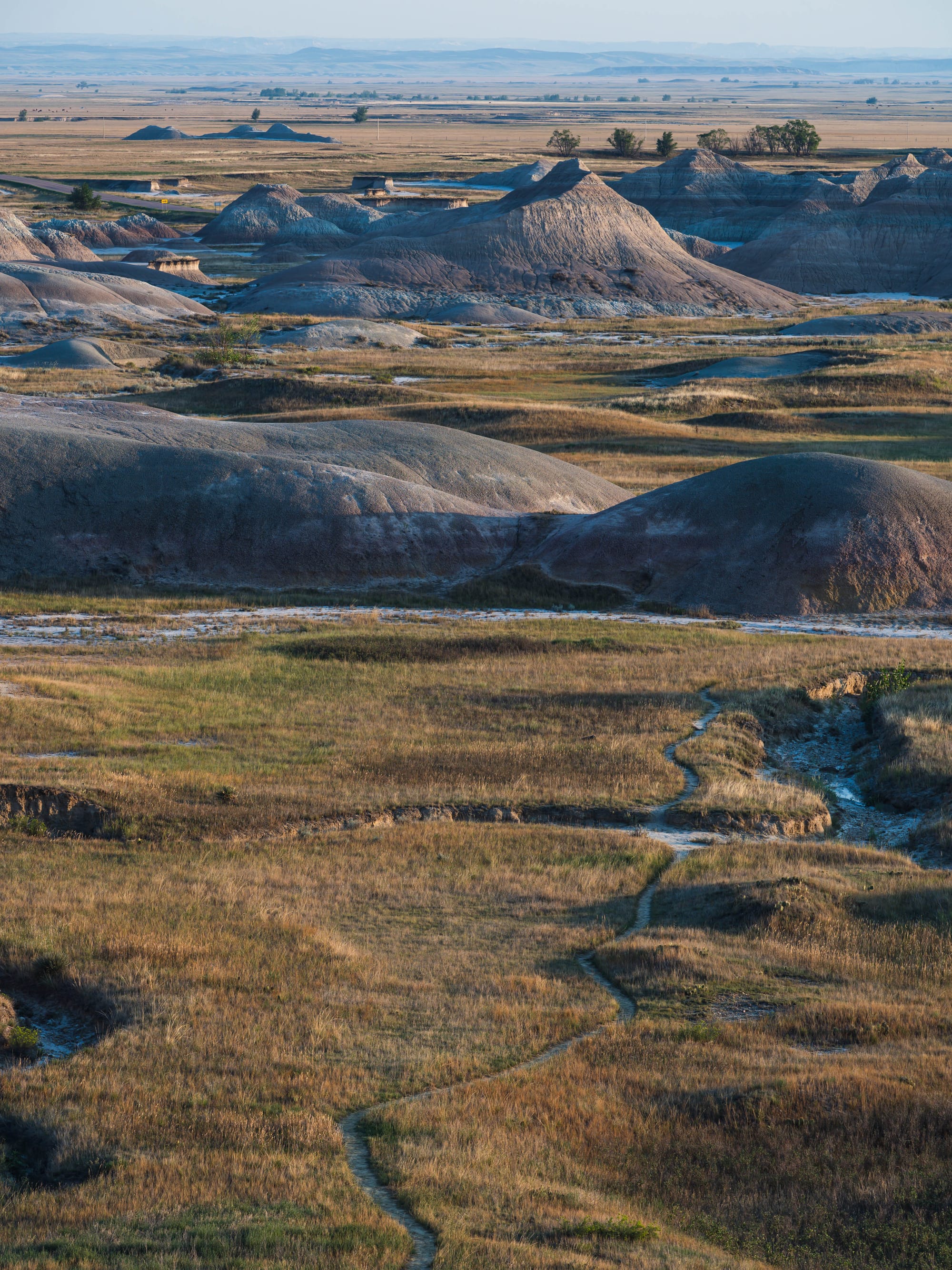
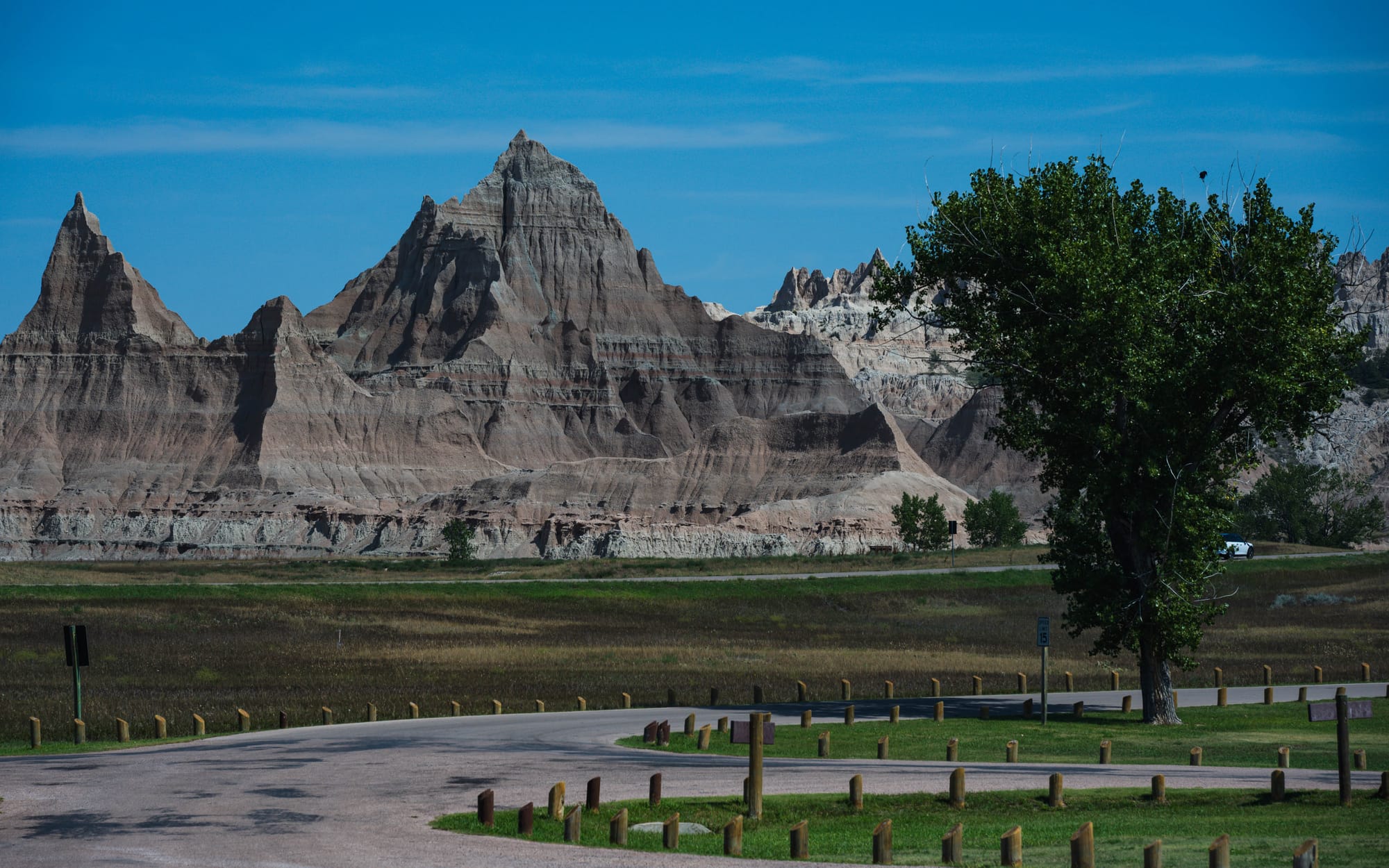
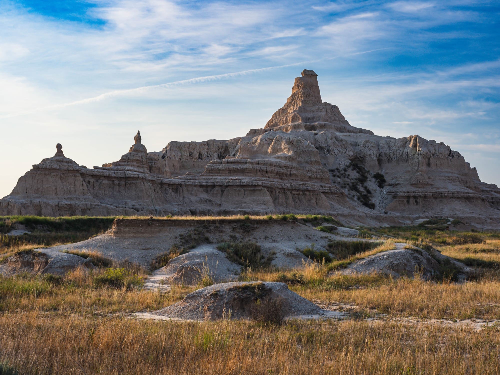
The formations rise abruptly out of the South Dakota prairie in ridges, pinnacles, gullies, and colored bands that do not look like the country around them. From a distance they resemble mountains. Up close, they are something very different.
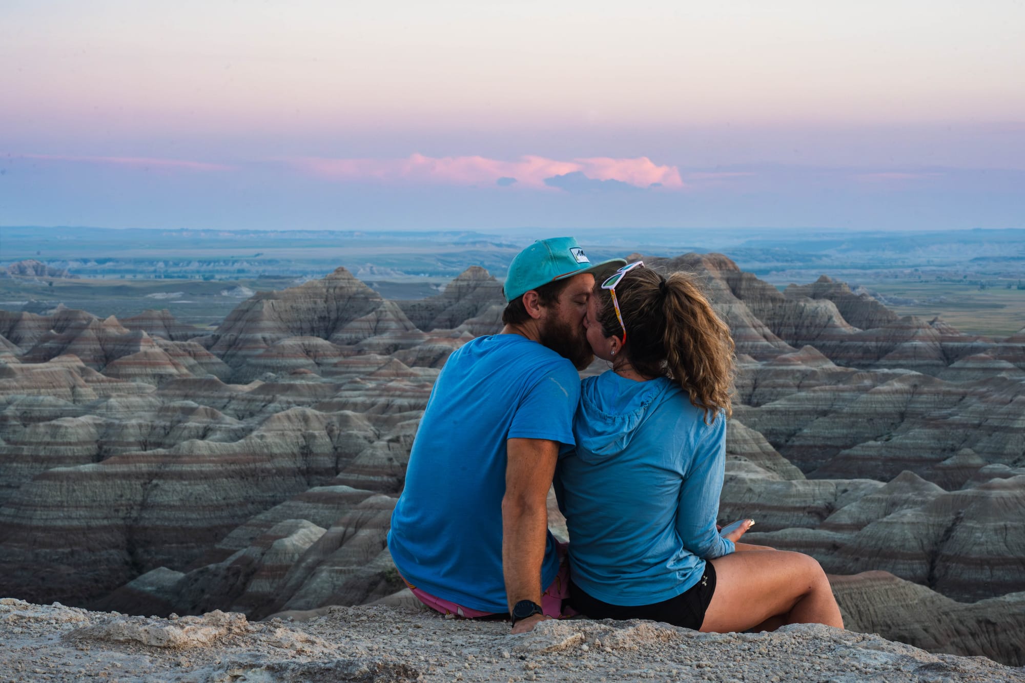
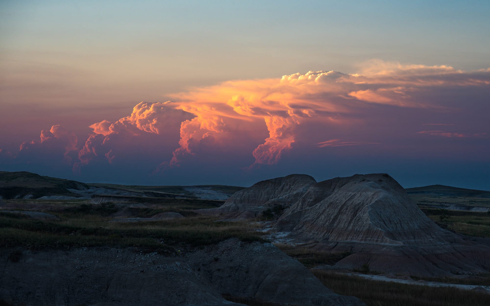
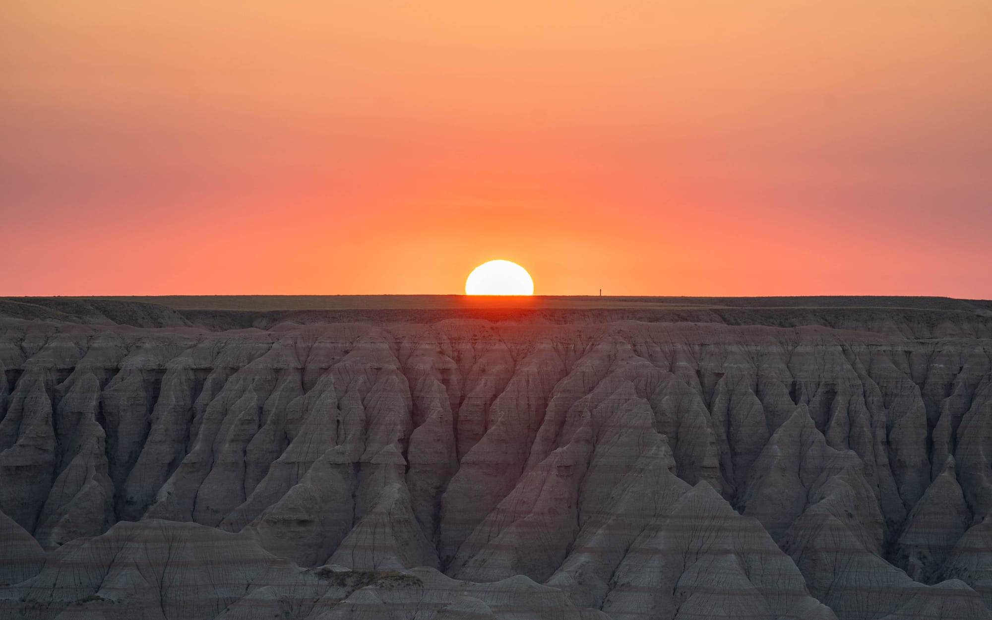
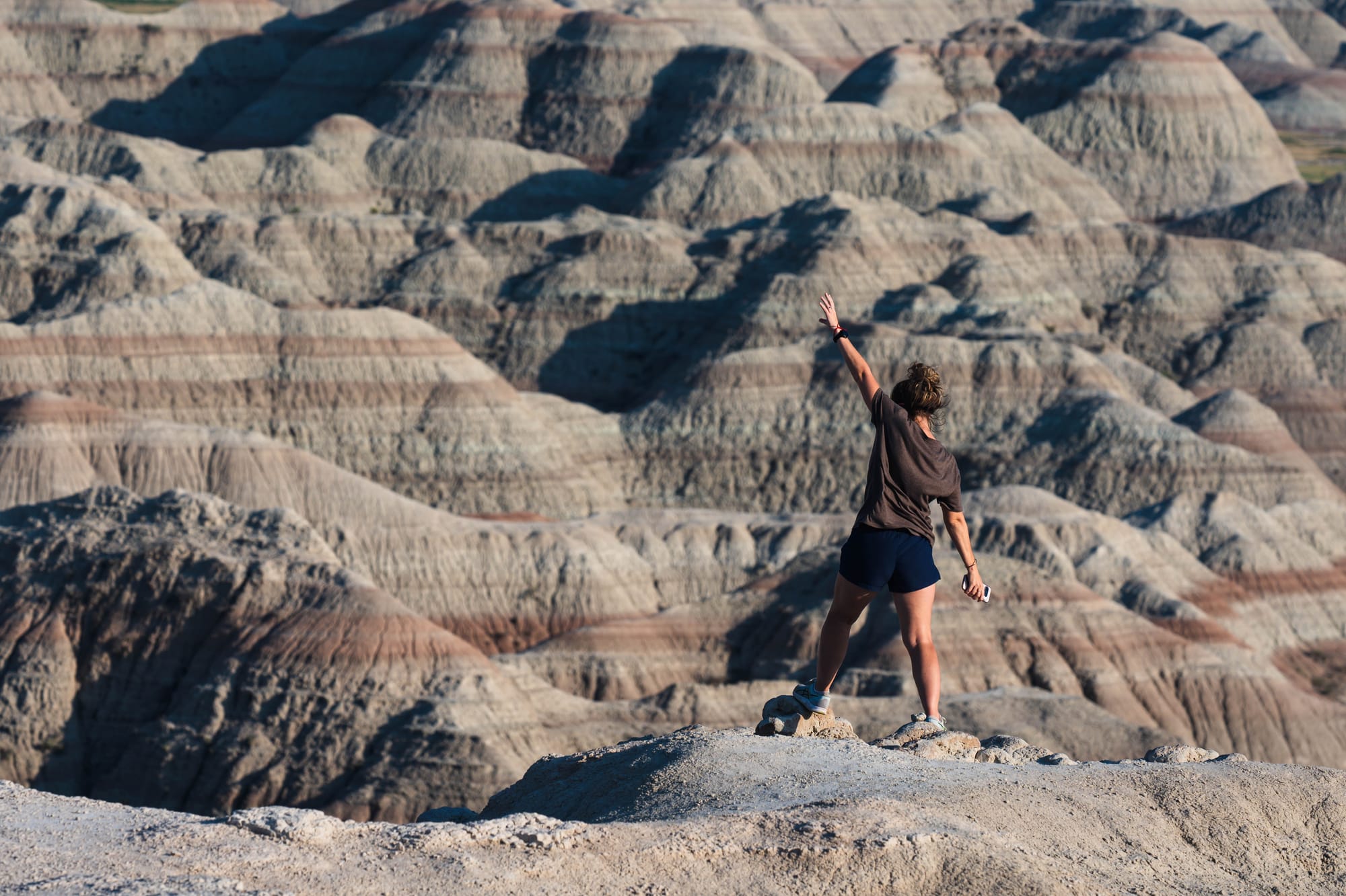
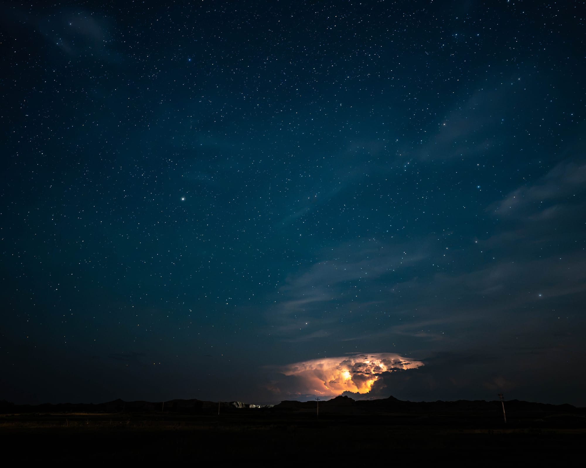
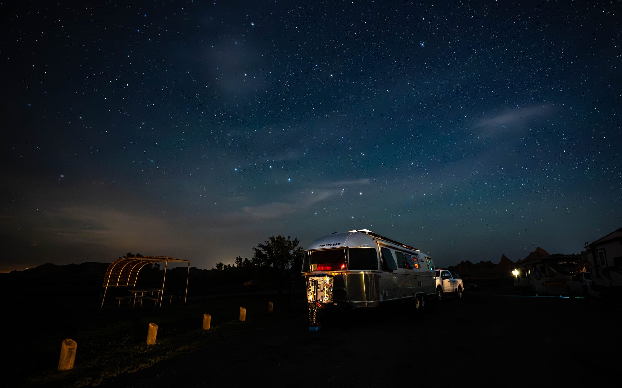
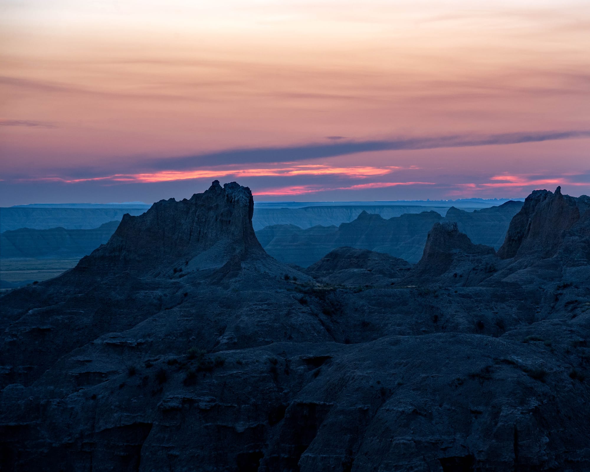
We spent three nights at Cedar Pass Campground, which gave us enough time to see the formations under several conditions. Midday sun flattened much of the detail. Near sunrise and sunset, shadows separated ridges that disappeared a few hours earlier.
Then it rained.
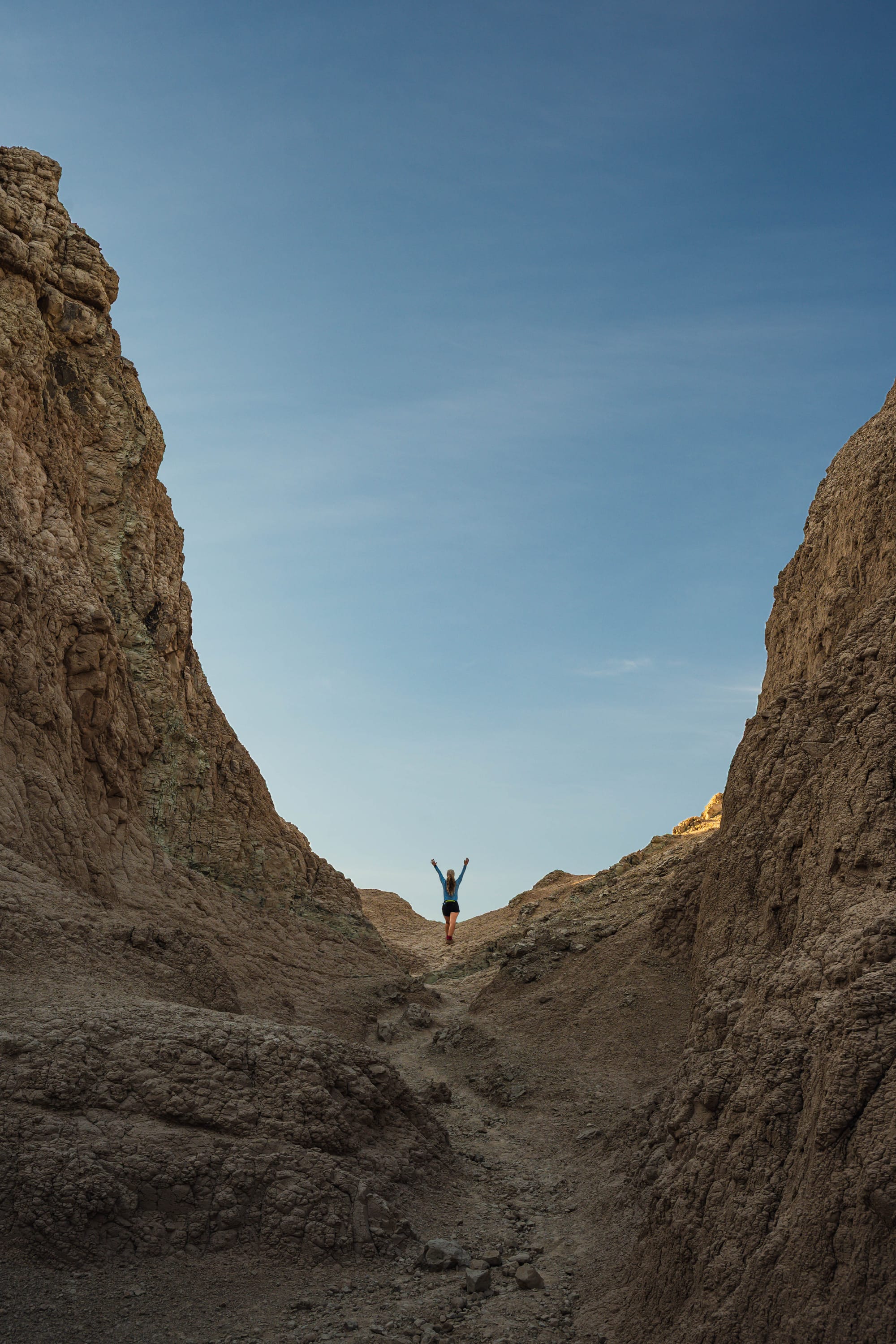
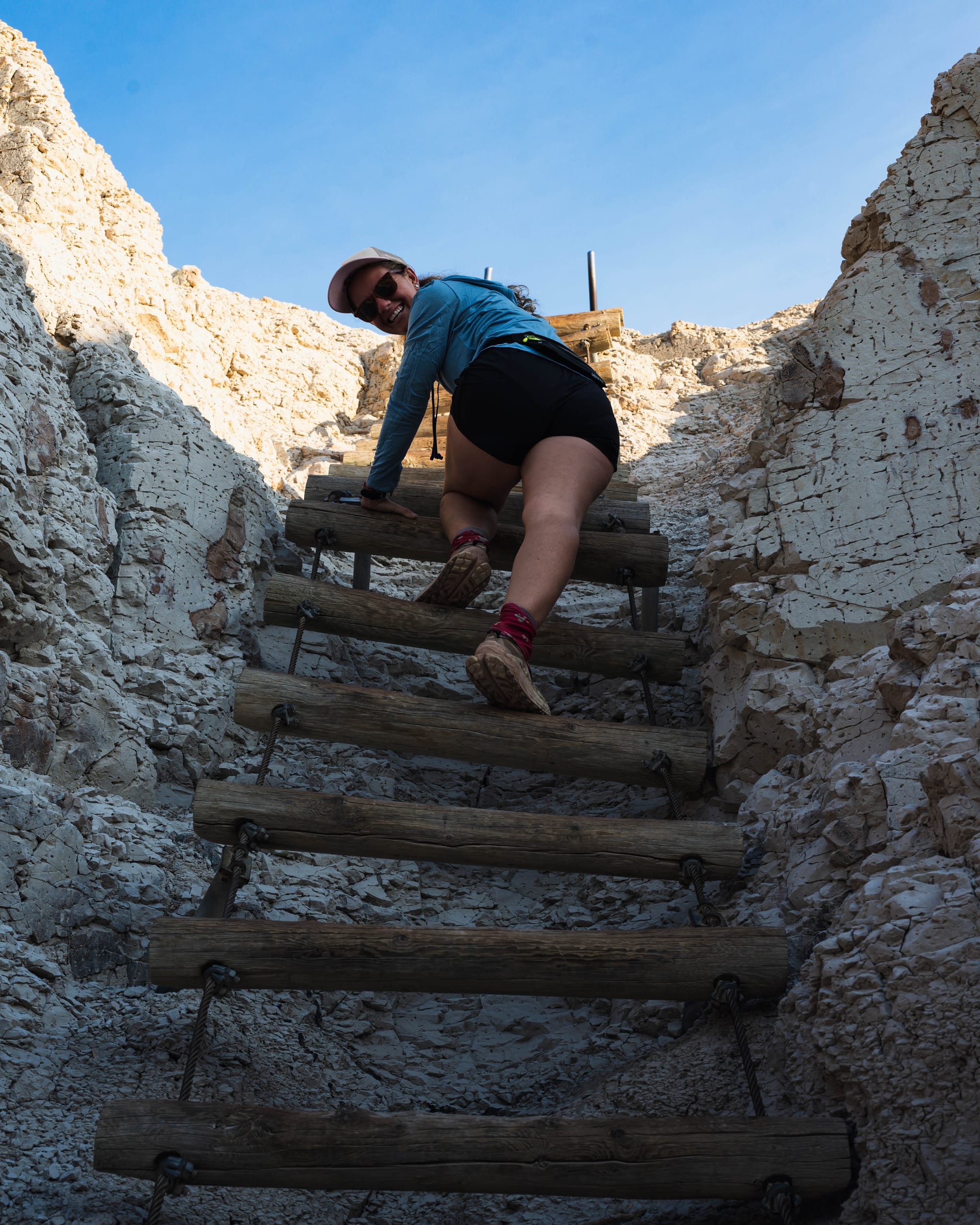
An overnight storm soaked the park before our final day. When we climbed Saddle Pass the next morning, the formations were darker, the colored bands were clearer, and individual layers stood out much more sharply.
The landscape hadn't changed overnight.
What changed was how much of it we could see.
🧭 Lay of the Land
- Location: Interior · South Dakota · 43.8340, -102.3939 · [Google Maps]
- Official site: [Badlands National Park]
- Landscape: Badlands formations · Mixed-grass prairie
- Our visit: August 2026 · 3 nights · hot, dry days with cool evenings and an overnight thunderstorm

What Makes a Badland?
Despite their appearance, the Badlands are not a mountain range.
They are the remains of a much broader stack of sediment that is being steadily eroded away.
The story begins with deposition.

Roughly 75 million years ago, this part of North America sat beneath the Western Interior Seaway.
After the sea retreated, the environment changed repeatedly. Rivers crossed the region. Floodplains developed. Soils formed. Volcanic ash blew in from eruptions farther west. New sediment continued accumulating until roughly 28 million years ago.
Layer by layer, the landscape built upward.
Then erosion began taking it apart.
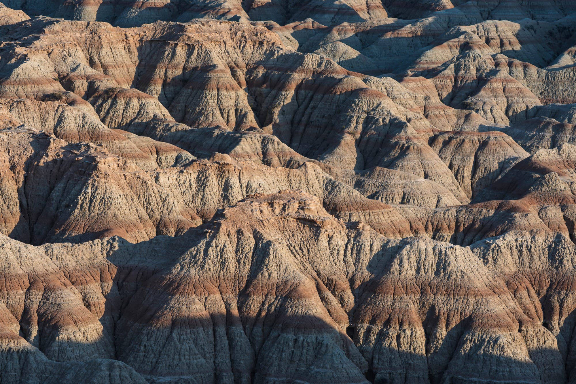
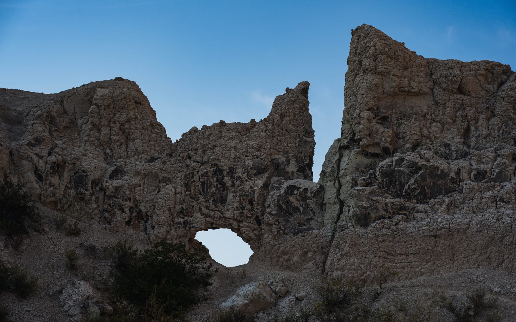
Around 500,000 years ago, the White and Cheyenne River systems began cutting into those relatively soft sedimentary layers. Water followed weaknesses in the rock, deepening gullies and separating ridges until the broad deposits were carved into the buttes, pinnacles, canyons, and spires visible today.
That process is moving quickly. The National Park Service estimates that Badlands formations lose roughly an inch each year. Individual formations may last only about a million years before erosion removes them.
The shapes we see are not features that were built upward into their present form.
They are what erosion has not removed yet.
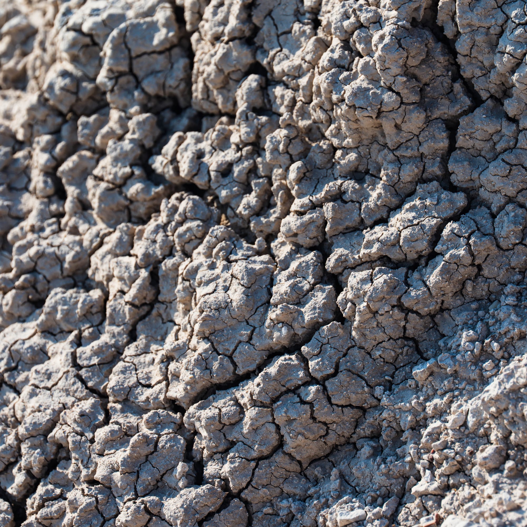
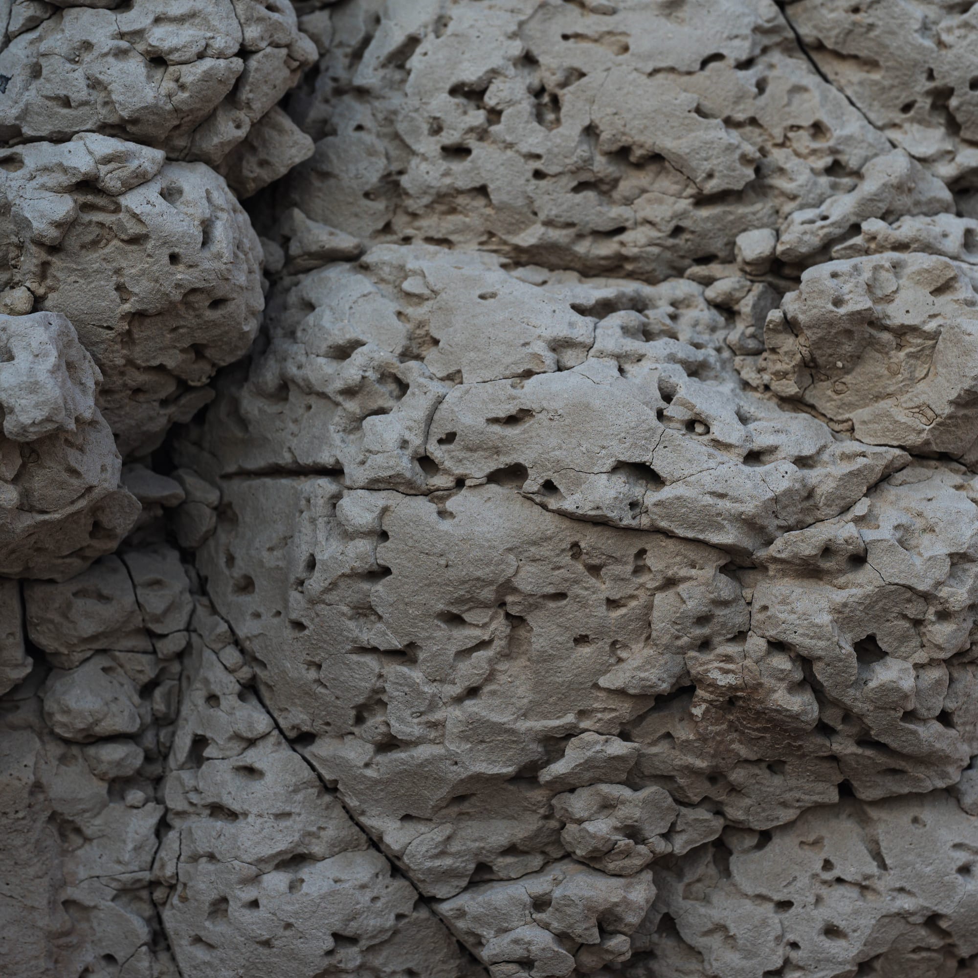
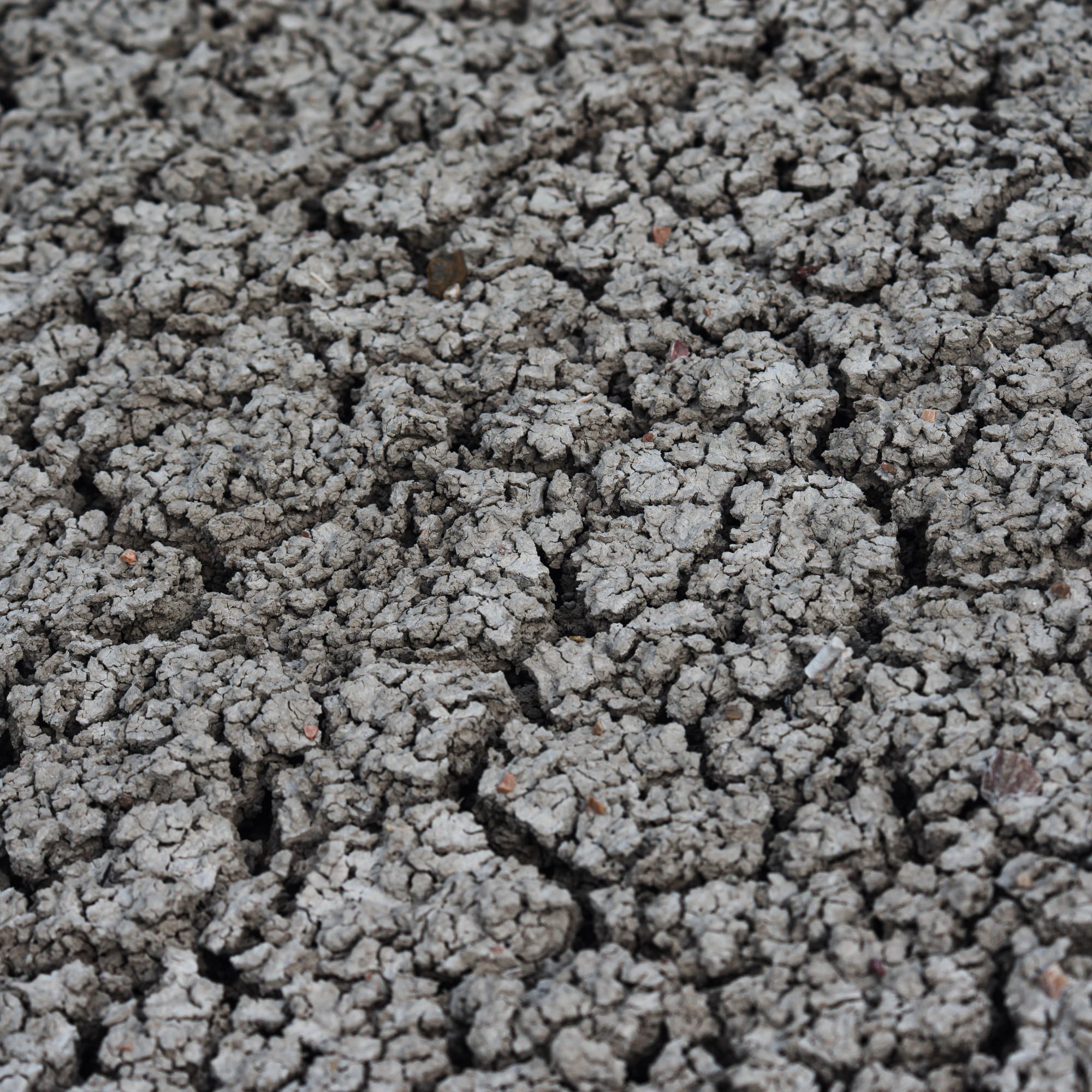
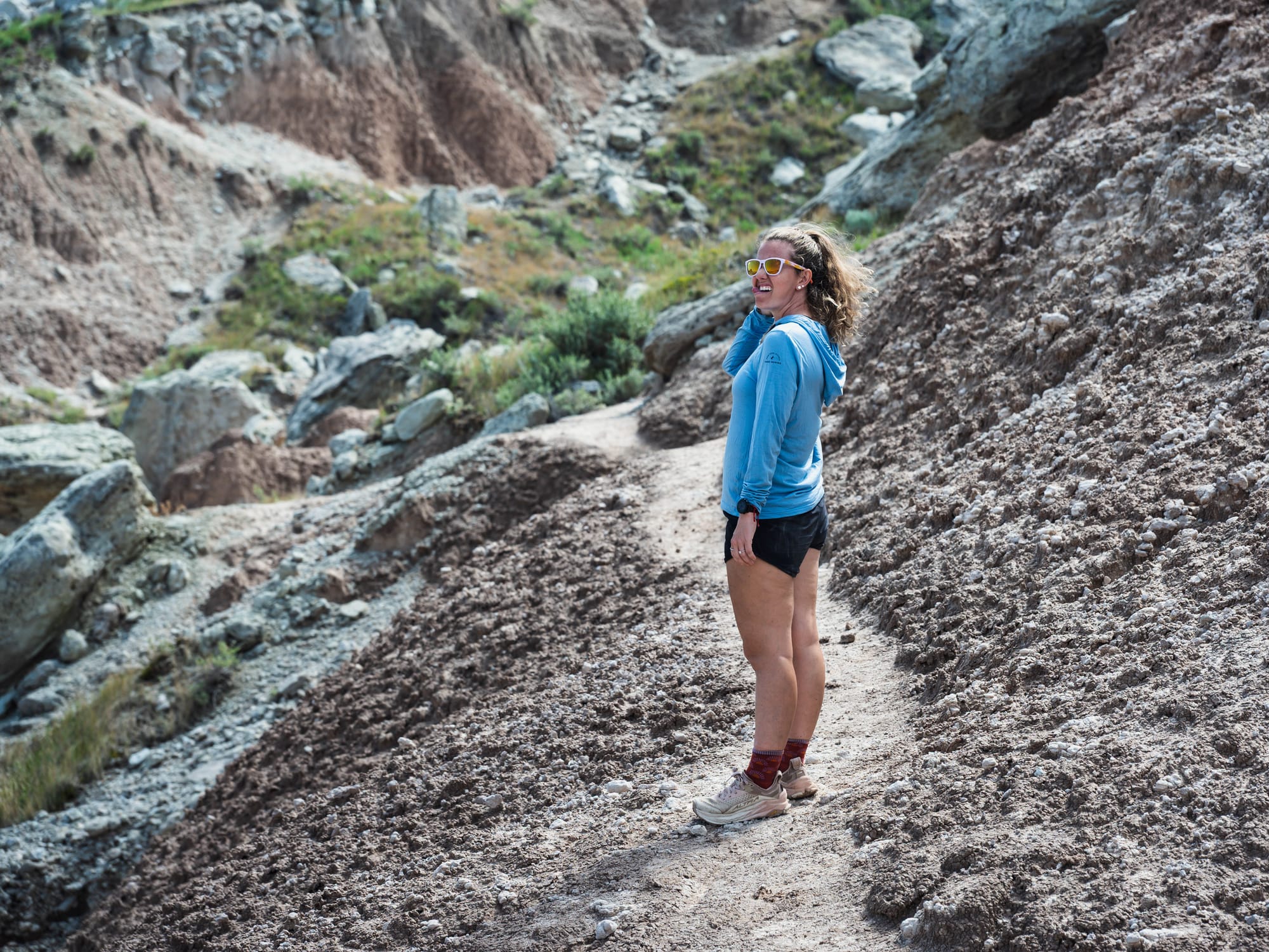
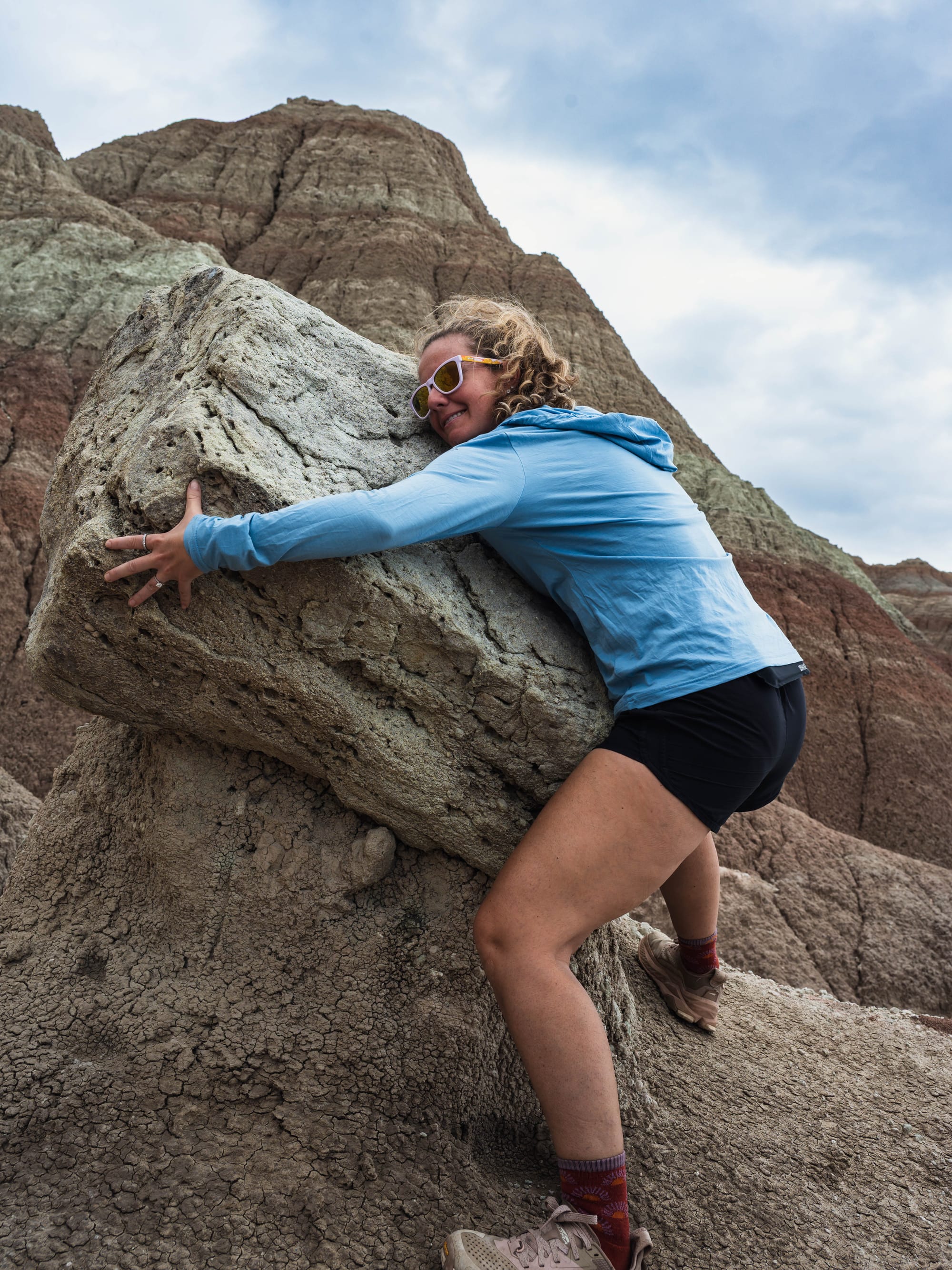
The texture of the formations is even more strange up close
Reading the Layers
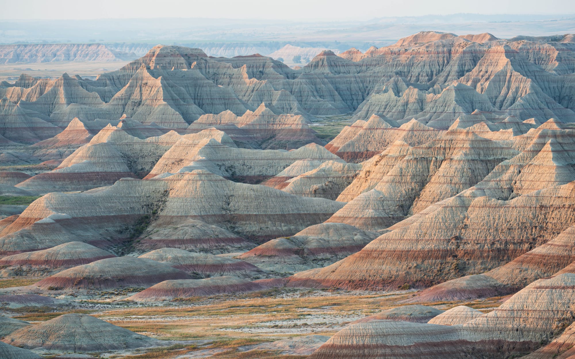
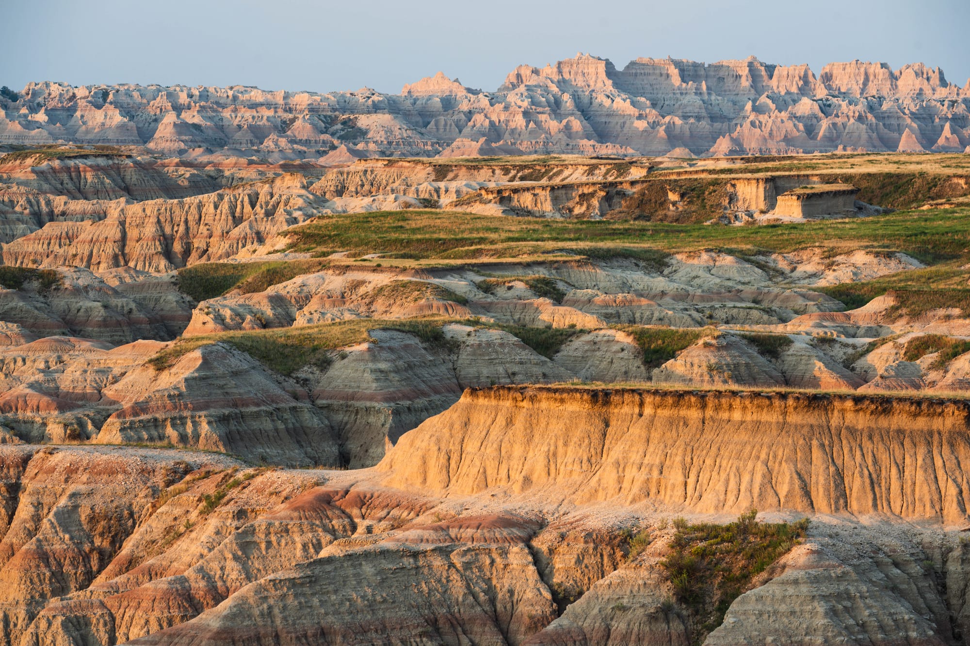
The colored bands running through the formations record different environments.
At the bottom, the Pierre Shale preserves the ancient seafloor. Above it, the Yellow Mounds formed when exposed shale weathered into soil after the sea withdrew.
The Chadron Formation records a warm, wet landscape crossed by floodplains similar to today's Everglades. The Brule Formation above it shows the climate becoming cooler and drier. Younger layers also contain large amounts of windblown volcanic ash from eruptions in Yellowstone.
The colors are different because the material is different. The result is a vertical record of environmental change: sea, soil, floodplain, grassland, ash.
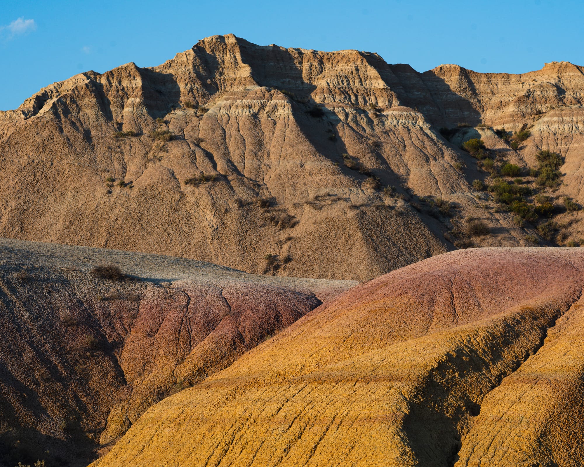
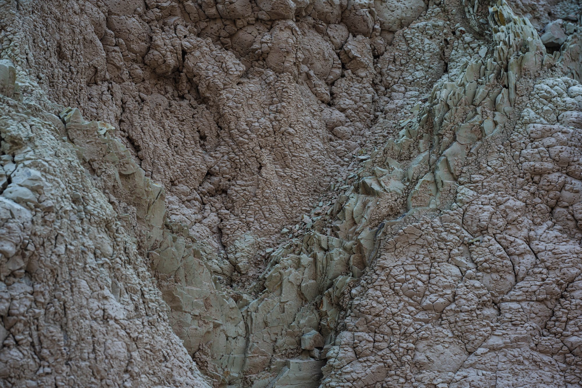
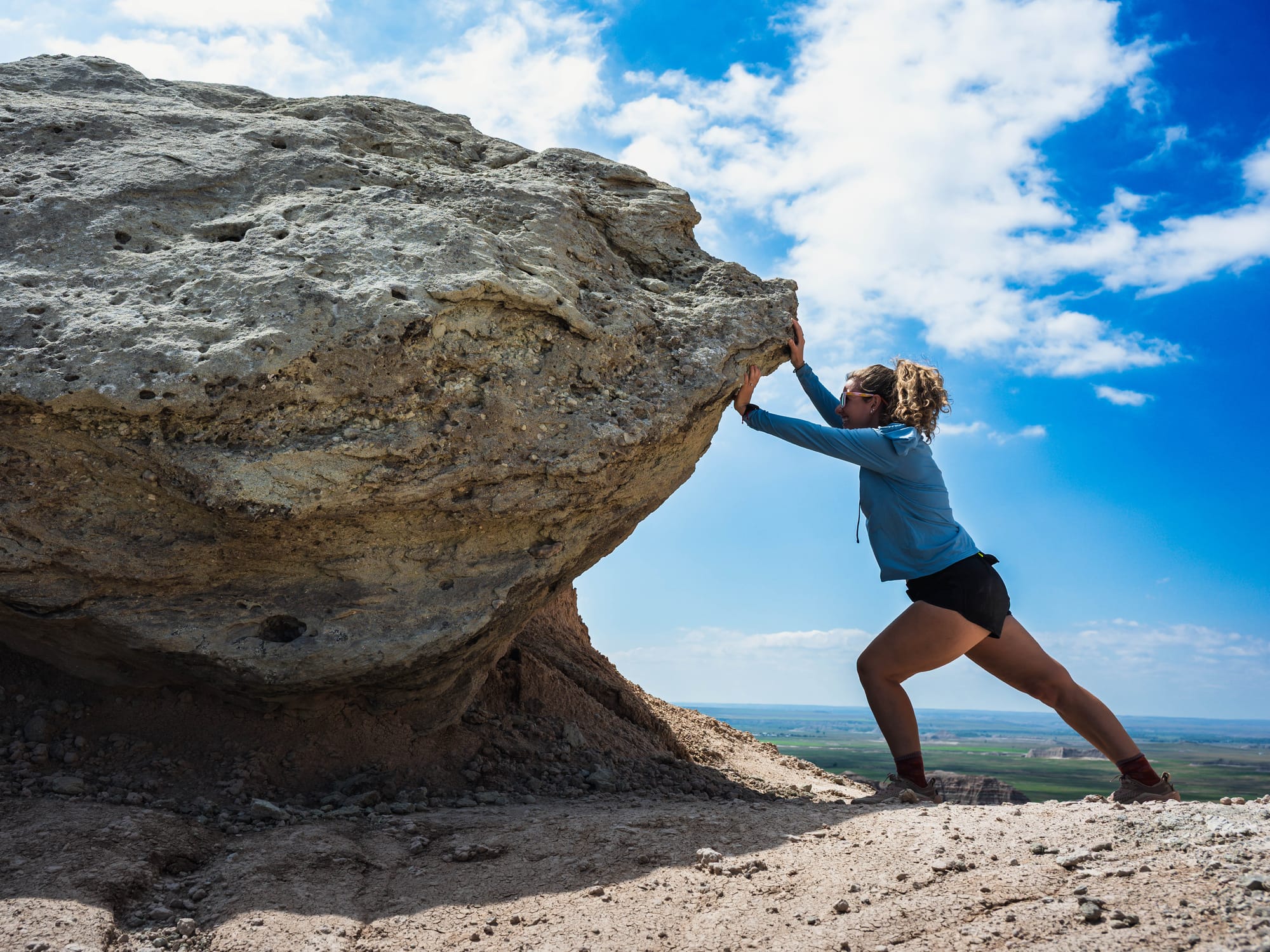
Yellow Mounds (L) | Clastic Dikes (C) | Caprock + Sam (R)
We saw those differences most clearly after the rain.
Water temporarily darkens porous surfaces and changes how light scatters from them. The minerals don't change, but wet surfaces reflect light differently, making color and contrast appear stronger.
That was what we were seeing from Saddle Pass. The storm had not produced new colors. It had made the existing differences between the layers easier to see.
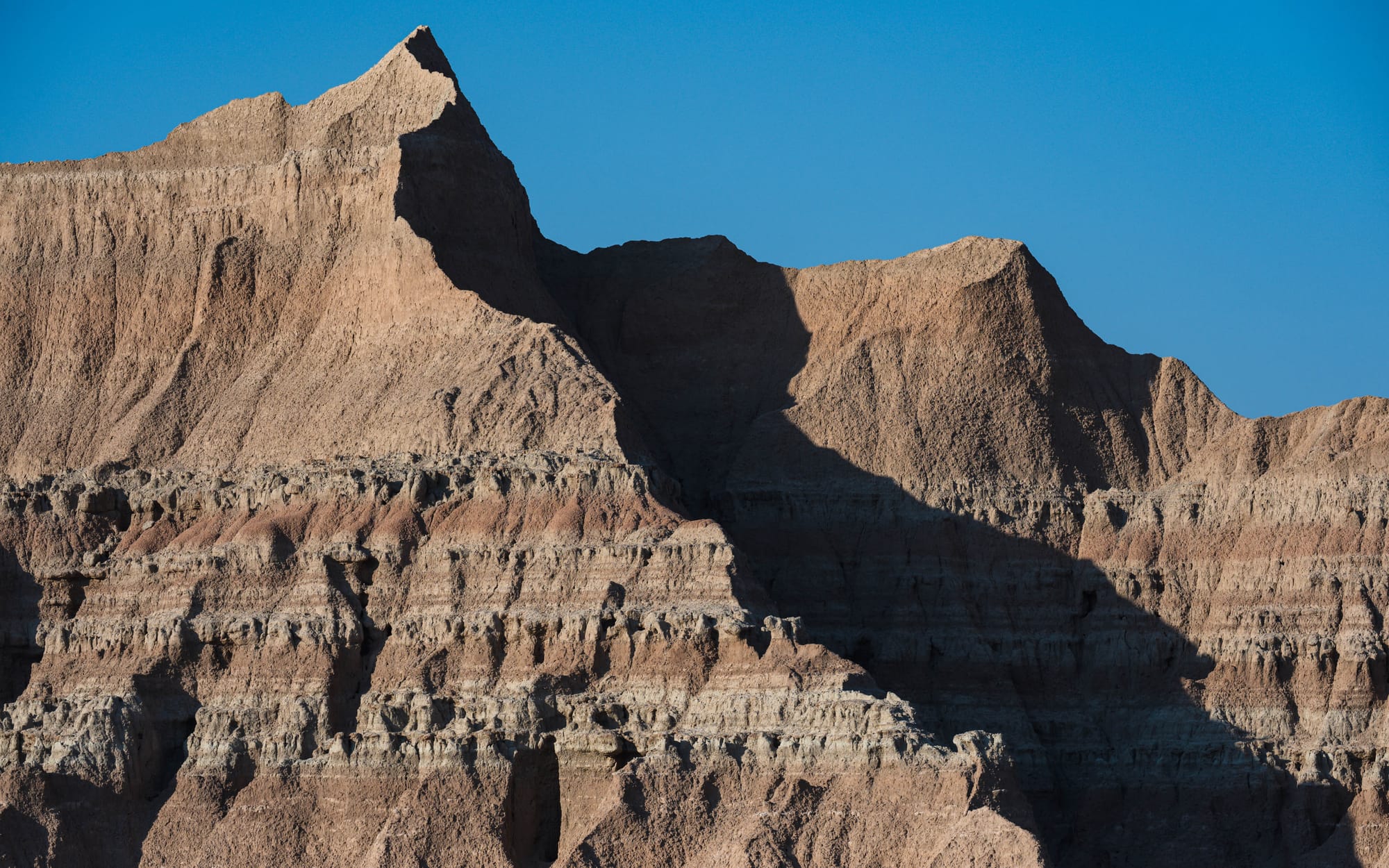
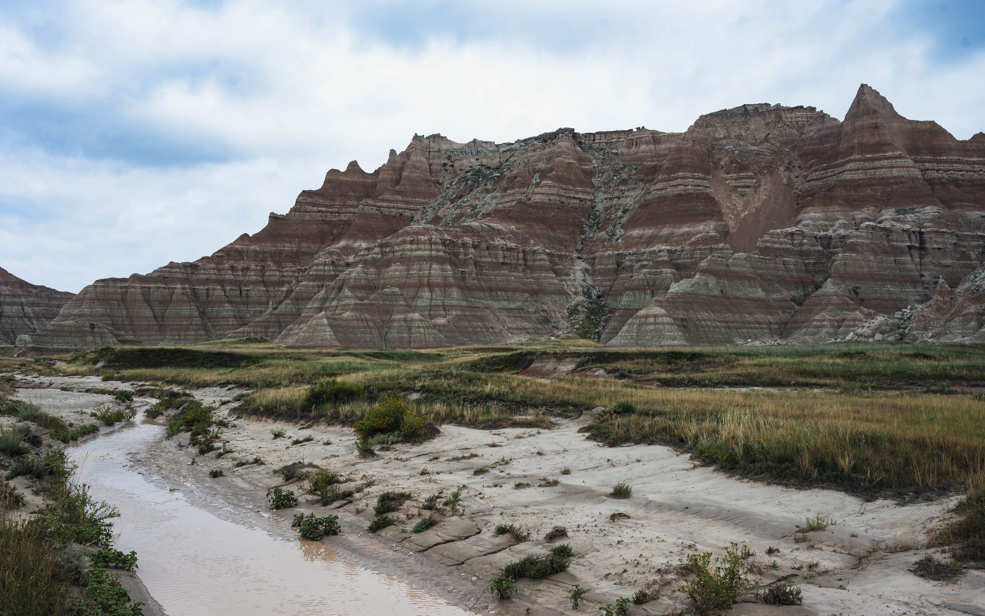
Before the rain (L) vs. after (R)
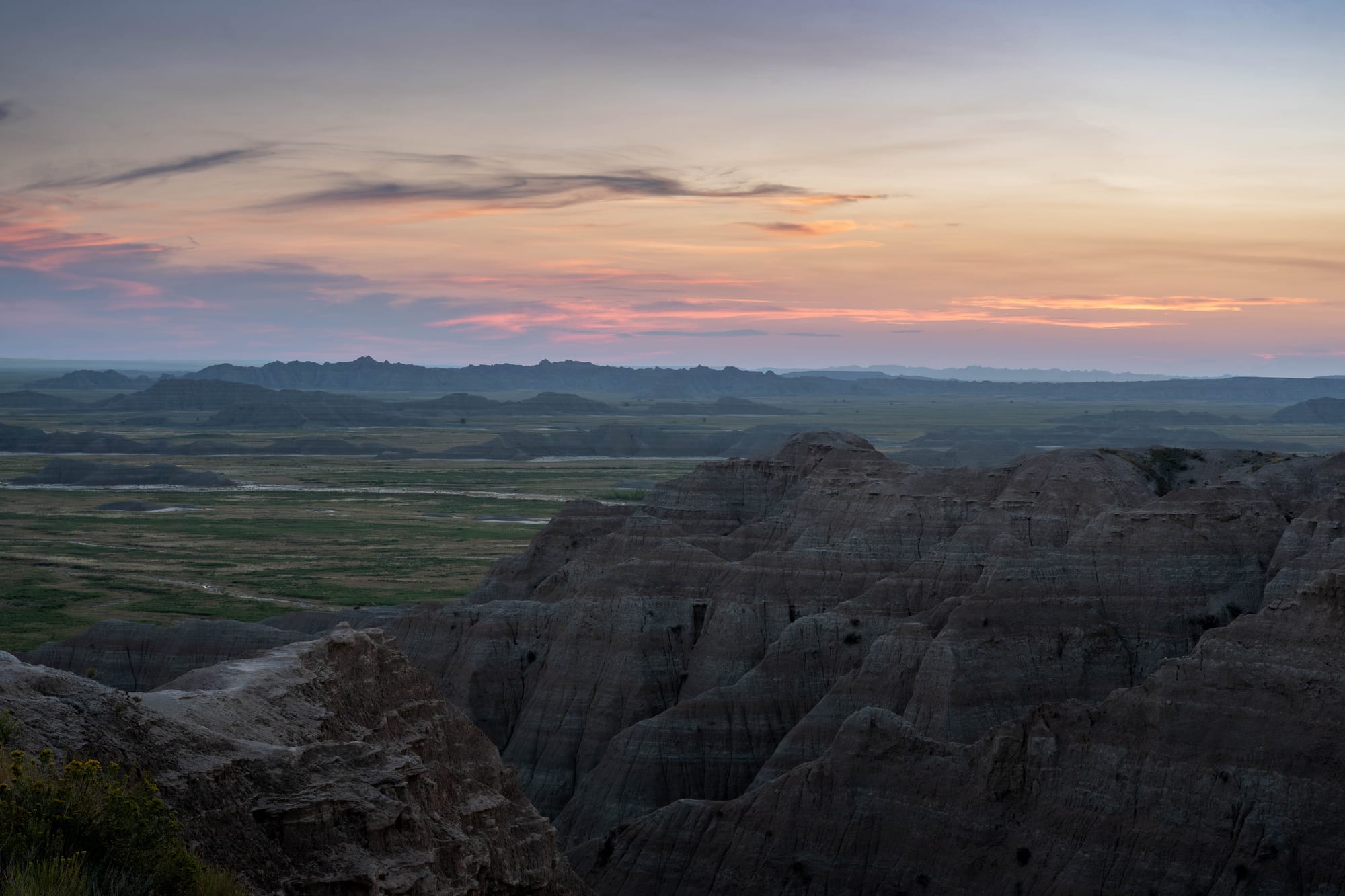
Sunrise and sunset revealed the landscape in another way.
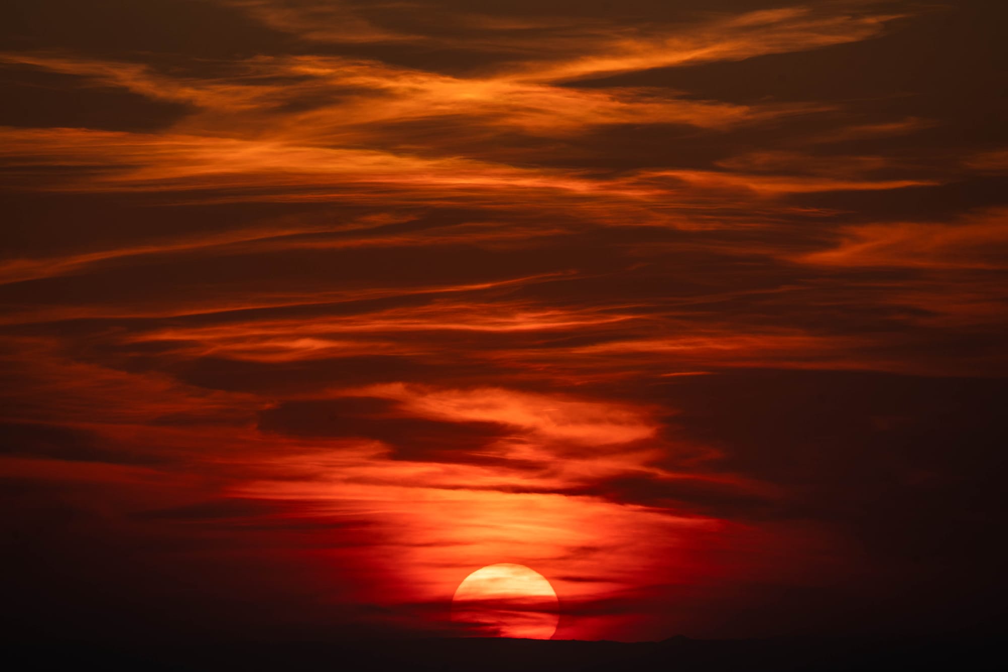
During our sunset drive toward Pinnacles Overlook and sunrise at Big Badlands Overlook, every small ridge began casting a shadow. Shapes that looked nearly flat under hard midday light separated from one another.
Rain emphasized the material.
Light emphasized the shape.
🚴 On the Ground
- Activities available: ● 🥾 Hiking | ● 🚴 Biking | ● 🐕 Dogs | ○ 🚣 Paddling | ○ 🎣 Fishing | ● 🐦 Wildlife / Birding | ○ 🏊 Swimming | ● 📸 Photography | ● 🏕️ Camp-centric | ○ 🧗 Climbing
- Trail mileage available: 🥾 ~18 mi. + open hiking | 🚴 Road riding only | 🚣 ⟂
- Crowd level: Steady
Legend: ● = available · ○ = not available
The Bones Coming Out of the Hills
Erosion is not only responsible for the scenery.
It is also why Badlands has become one of the most important fossil landscapes in North America.
The sediments forming these hills accumulated while animals lived, died, and were buried within them. As the formations erode today, those fossils gradually return to the surface.
Scientists began studying fossils collected from the region in the 1840s. Oglala Lakota people recognized large fossil bones, turtle shells, and seashells long before European and American scientists arrived and were among the first to understand that the region had once been underwater.
One thing the fossil record here lacks, are dinosaurs.
Some of the park's rocks are old enough, but during the Late Cretaceous this area was underwater. Fossils from those rocks are therefore marine rather than terrestrial.
Most of the well-known Badlands mammals came later, particularly during the late Eocene and Oligocene, after non-avian dinosaurs had disappeared.
By then the landscape supported an assortment of mammals that seem both familiar and completely strange.
There were early horses. Ancient rhinoceroses.
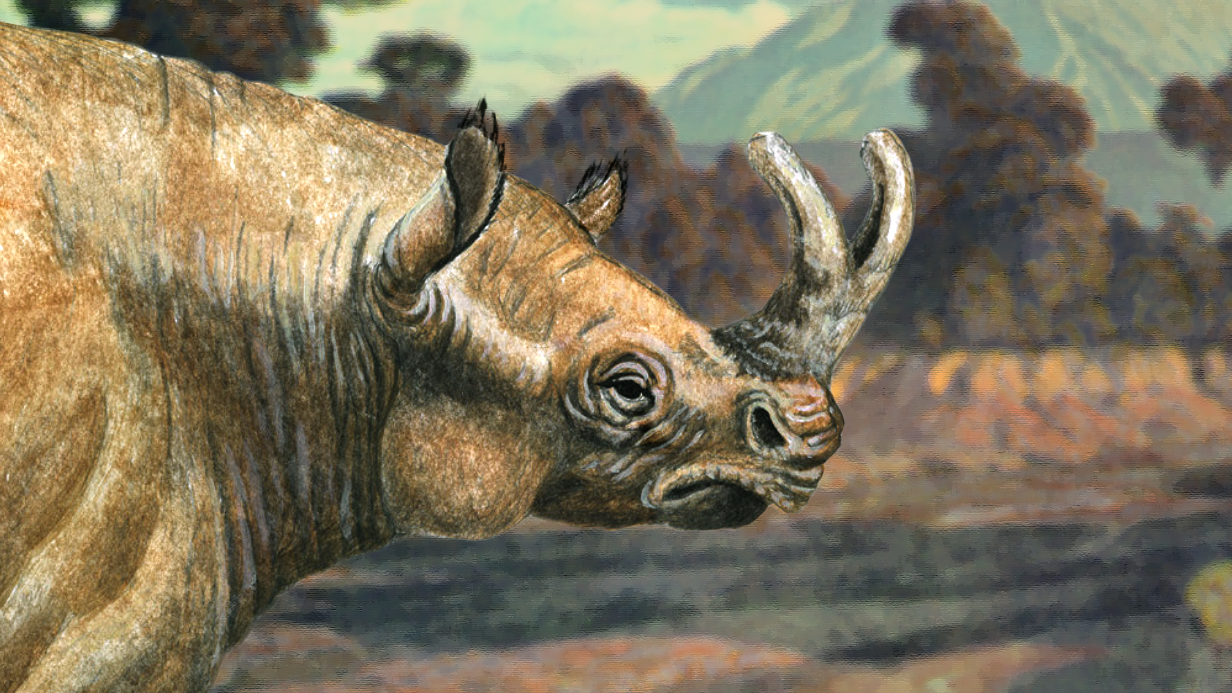
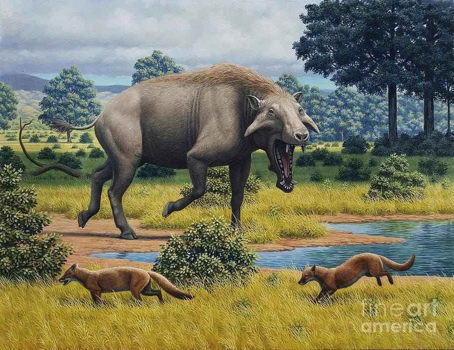
Artist Renderings of Brontothere (L) | Archaeotherium (R)
Oreodonts, stocky hoofed mammals that were extraordinarily common. Nimravids, predators that resembled saber-toothed cats without actually being cats. Brontotheres, enormous herbivores that were among the largest fossil mammals found here. Entelodonts such as Archaeotherium looked vaguely pig-like but belonged to a very different branch of the mammal family tree.
Warm, wet floodplains supported one community. As the climate became cooler and drier, the animals changed with it.
The rocks preserve the environment.
The fossils preserve what lived in it.
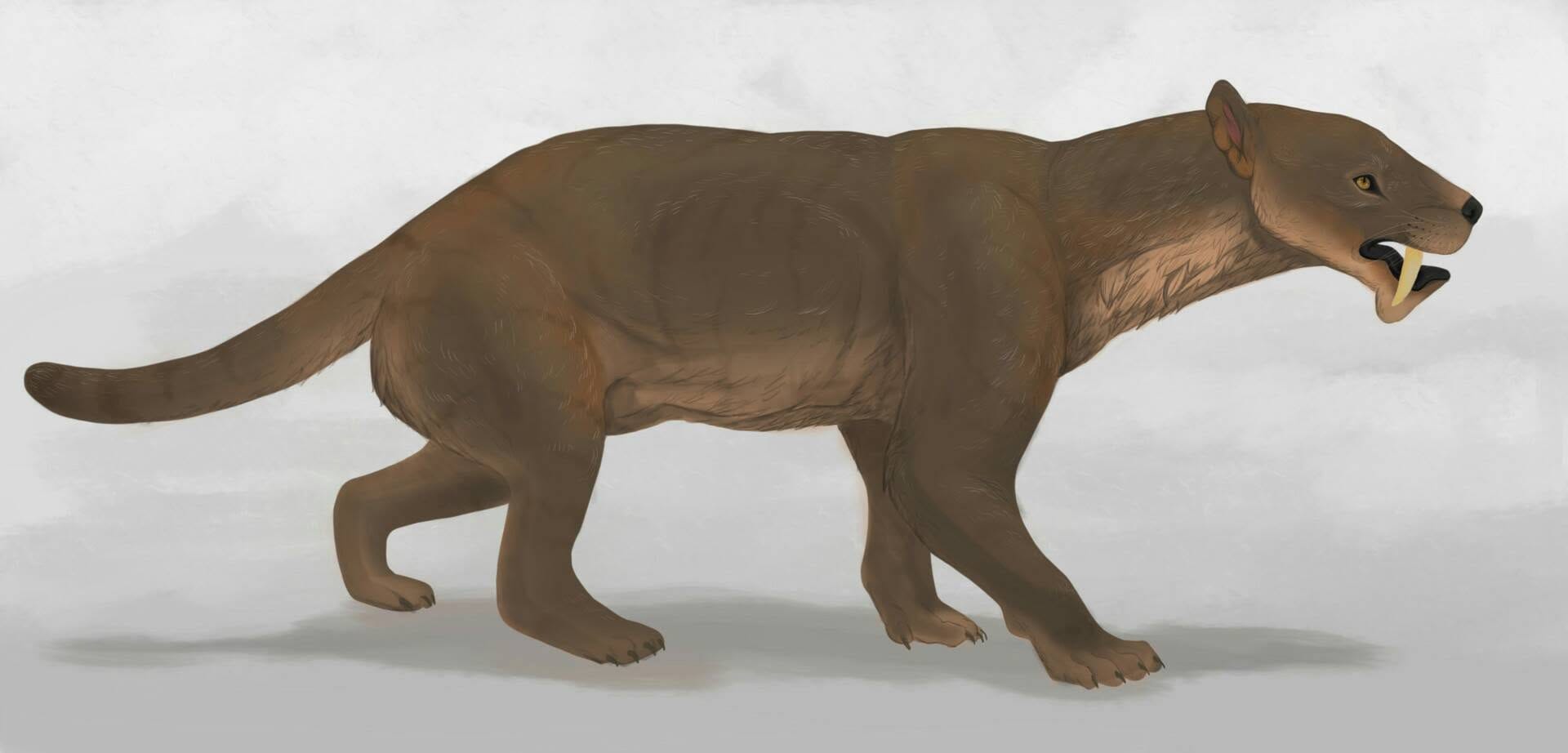
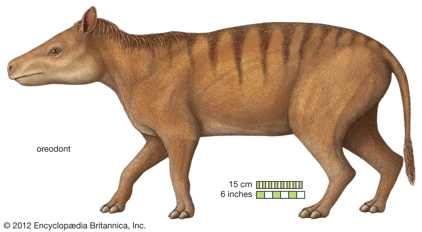
Artist Renderings of Nimravid (L) | Oreodont (R)
The Big Pig Dig
Near Conata picnic area in 1997, visitors noticed bones exposed near the surface and reported them to park staff. What appeared to be a small discovery turned into an excavation lasting 15 field seasons and producing more than 19,000 fossils.
Evidence suggests the site was a shrinking watering hole during a drought roughly 34 million years ago. Animals gathered around the remaining water, some died there, and the bones were eventually buried.
Millions of years later, erosion exposed them again.
That same process creates a problem.
Once fossils reach the surface, weather begins destroying them. Paleontologists are therefore working against the process that makes discovery possible.
Where the Badlands Meet the Prairie
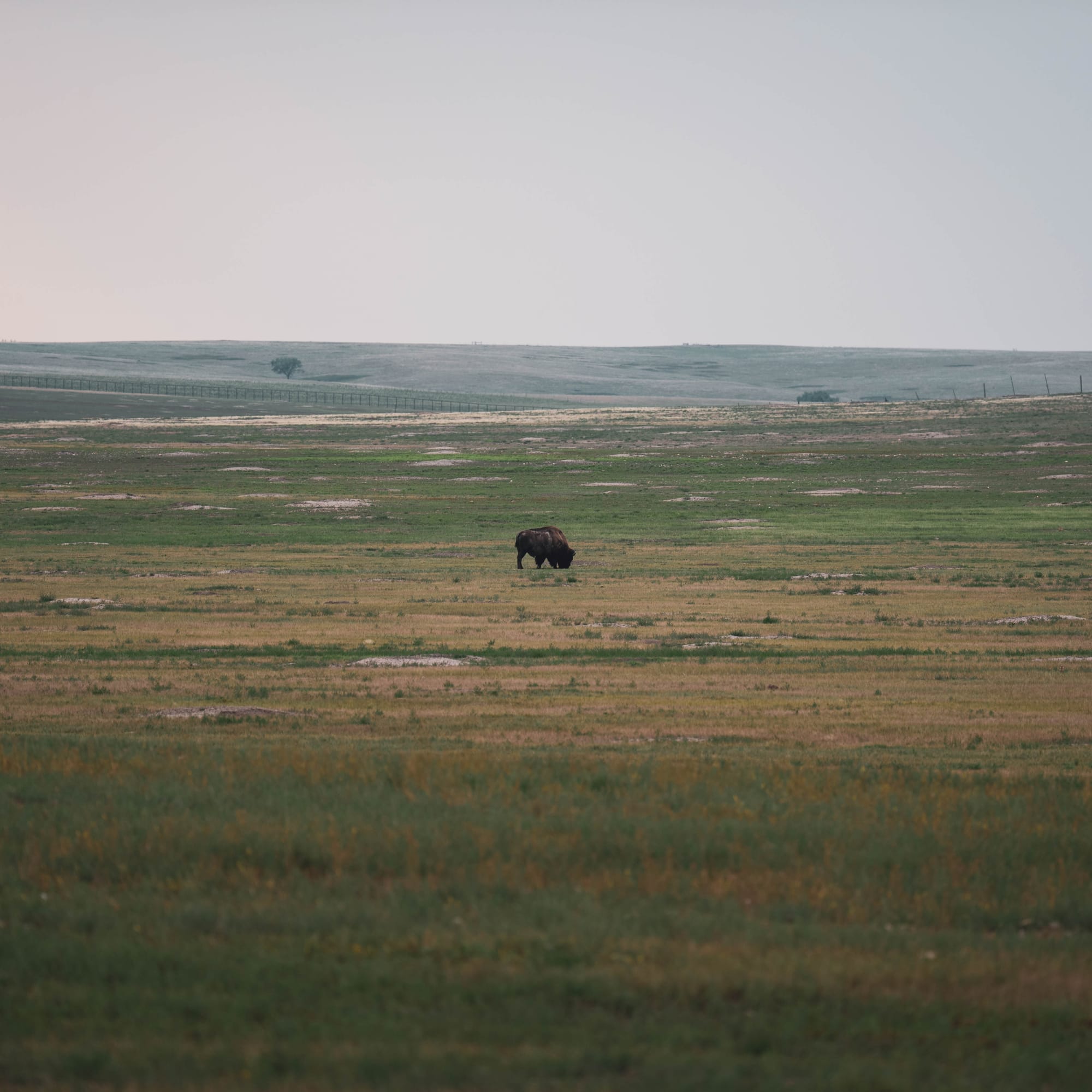
The formations dominate most photographs of Badlands, but much of the park is mixed-grass prairie.
Mixed-grass prairie sits between the wetter tallgrass prairie farther east and the drier shortgrass prairie farther west. Plants from both systems overlap here, and more than 400 plant species have been documented in the park.
That grassland depends partly on disturbance.
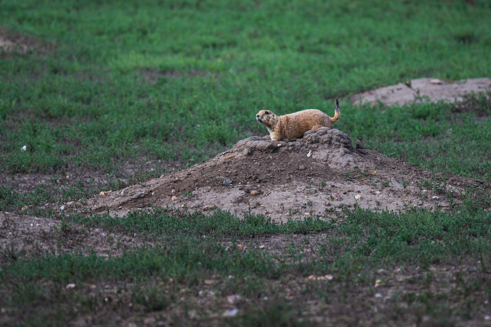
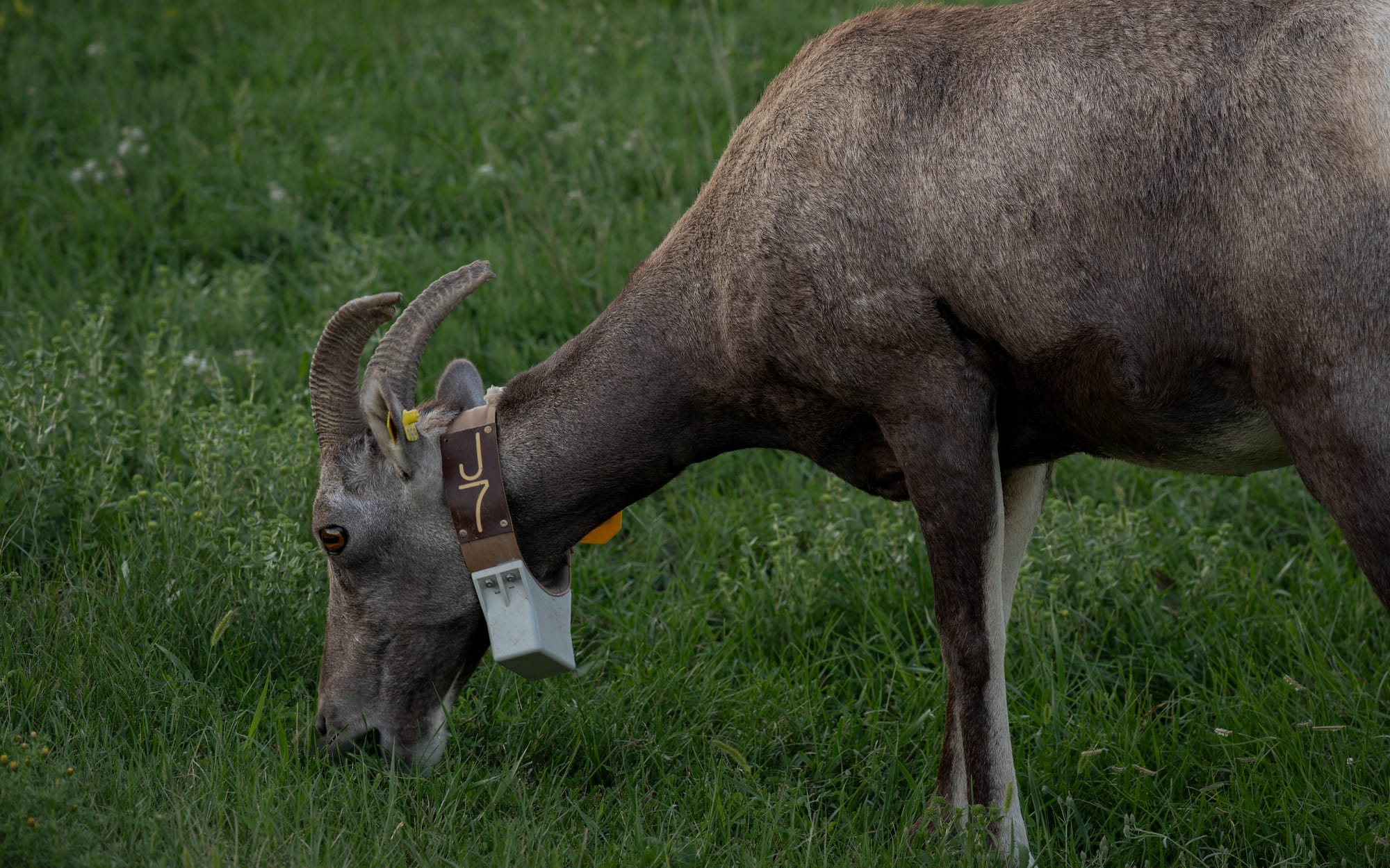
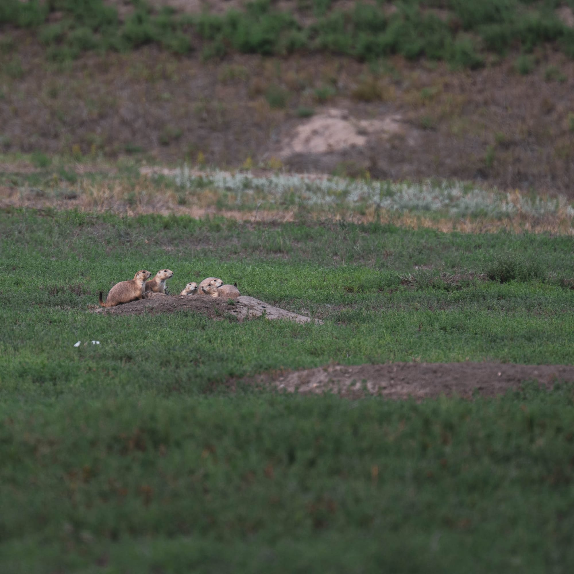
At Roberts Prairie Dog Town, the prairie dogs were constantly clipping vegetation, moving soil, and disappearing into burrows. Those behaviors physically reshape the plant community around a colony and create habitat used by other species.
Bison alter the prairie at a larger scale.
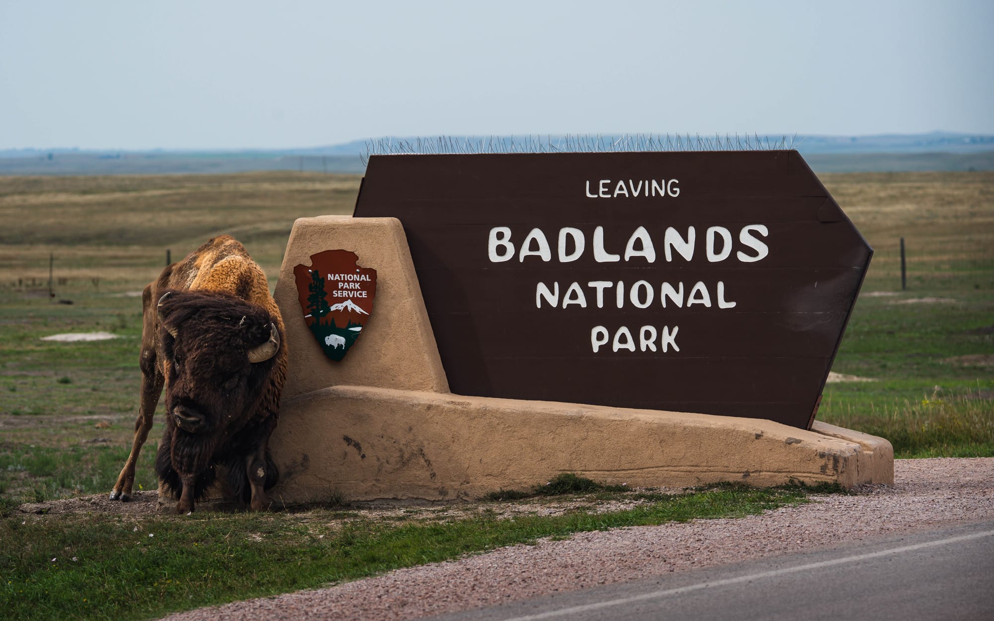
Grazing changes vegetation height and plant composition. Their wallows leave shallow depressions that collect rainwater and create temporary patches of wetter habitat.
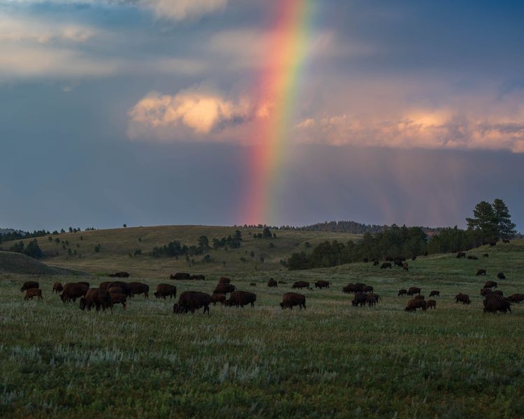
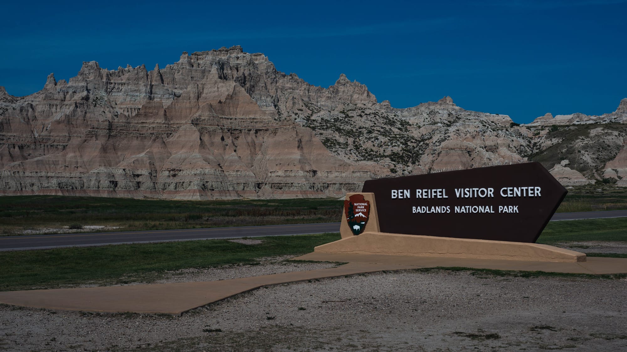
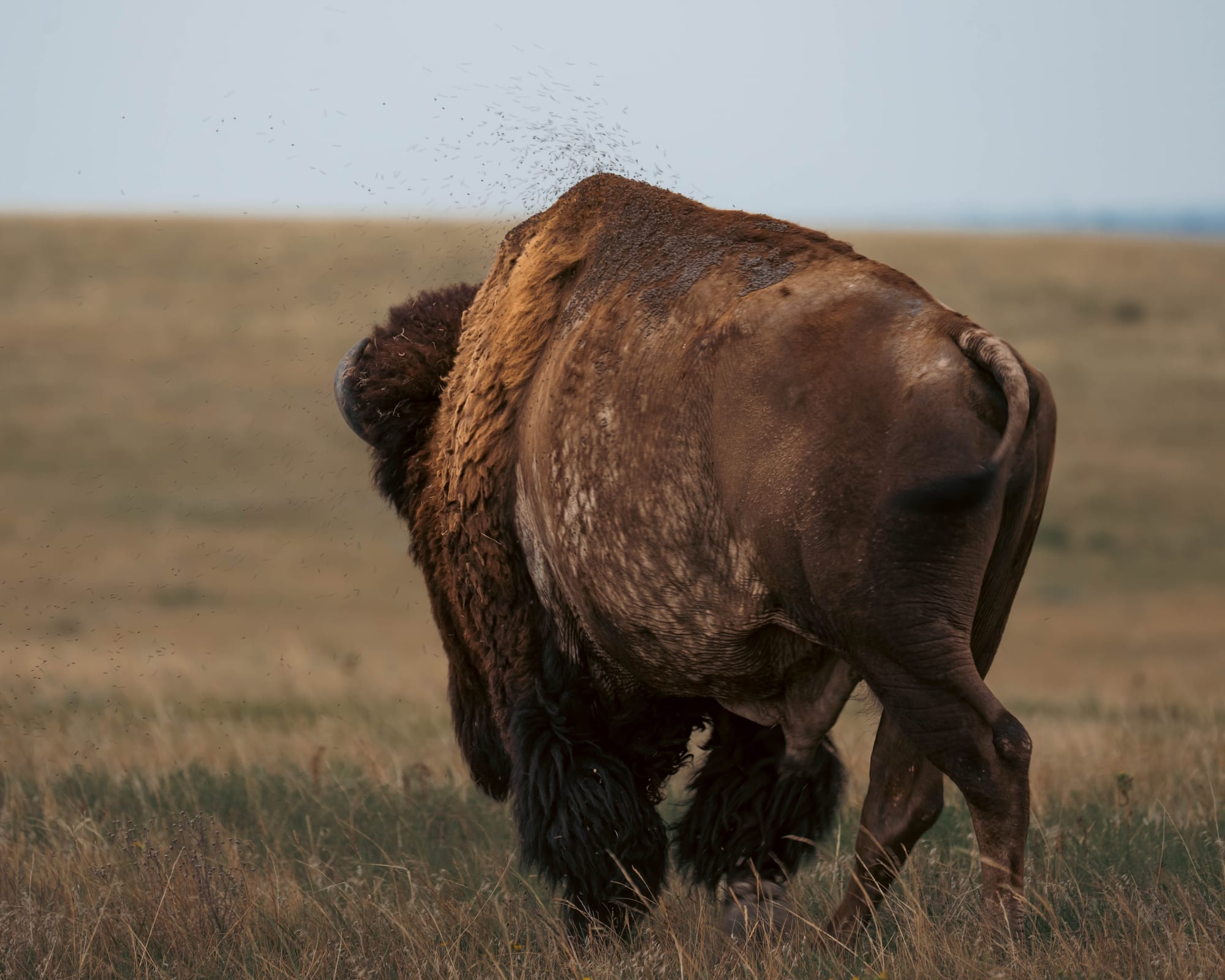
We saw bison several times around Sage Creek, including one that had apparently decided the Badlands entrance sign made a perfectly acceptable scratching post.
The formations may get most of the attention, but the prairie is not empty space between them.
It is another landscape the park is protecting.
That matters because only a fraction of the historic mixed-grass prairie across the Great Plains remains.
🏕 Camp Setup
- Site types: RV electric · RV non-electric · Tent
- Arrival & setup: Easy
- Hookups: ⚡ | 🧻
- Connectivity: 📶 AT&T ⚠️ | 📶 Verizon ⚠️ | 📶 T-Mobile ❌ | 📡 Starlink 🟢 | 📶 Park Wi-Fi ⟂
- Facilities: Restrooms · Showers · Dump · Trail access
Legend:
🚽 = sewer at site · 🧻 = dump station
🟢 = solid for work · ⚠️ = usable with limits · ❌ = unusable
A Surprisingly Complicated Map
Badlands becomes more complicated once you stop looking at the geology and start looking at the boundaries.
The National Park Service manages roughly 244,000 acres, but those acres do not all share the same ownership history or legal status.
The North Unit contains most of the places visitors associate with Badlands: Cedar Pass, the scenic road, established trailheads, overlooks, and the Ben Reifel Visitor Center.
Parts of that landscape are also protected as the Badlands Wilderness, adding the restrictions of the Wilderness Act inside the national park.
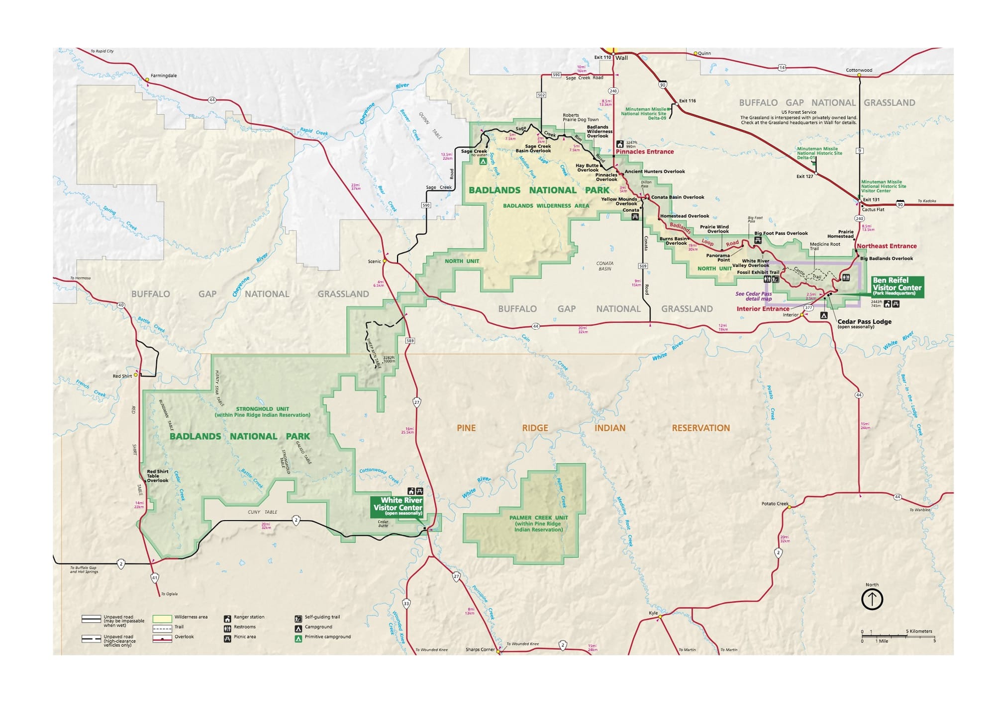
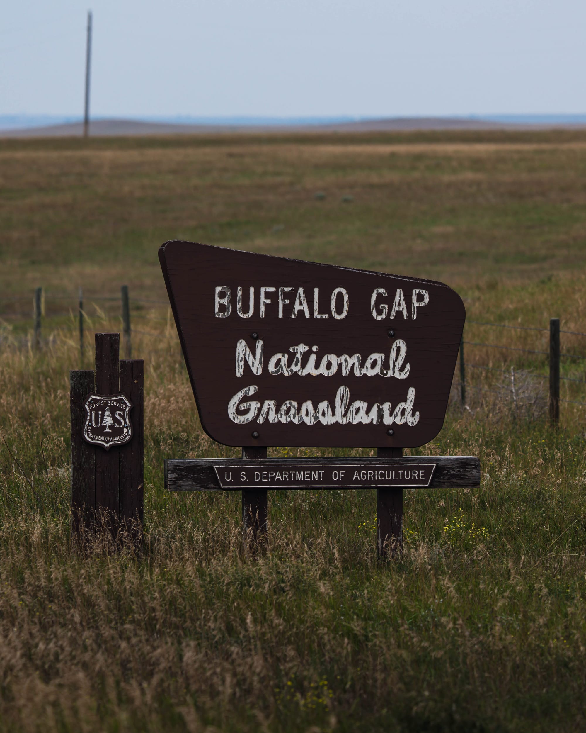
Outside the North Unit, Buffalo Gap National Grassland wraps around much of the park.
National grasslands are part of the National Forest System and are managed by the U.S. Forest Service under a multiple-use model. Conservation and recreation are part of that mandate, but so are grazing and other forms of resource management.
On the ground, crossing from Badlands National Park into Buffalo Gap can involve almost no visible change.
Legally, it is a very different place.
South of the North Unit is the Stronghold District, usually called the South Unit, which lies within the Pine Ridge Indian Reservation.
These are Tribal Trust lands associated with the Oglala Sioux Tribe and managed as part of Badlands National Park through agreements with the Tribe.
The broader Badlands landscape contains national park land, congressionally designated wilderness, national grassland, and tribal trust land managed in cooperation with the National Park Service.
The map looks complicated because the history is complicated.

A Landscape With a Longer Human History
People were moving through this landscape thousands of years before the current boundaries existed.
Archaeological evidence documents at least 12,000 years of human use. More than 300 archaeological sites have been recorded within the park, including camps, bison-processing areas, and places where stone tools were made.
Even the name reflects the terrain.
The Lakota term mako sica translates to "bad lands." French trappers later used les mauvaises terres à traverser, essentially "bad lands to travel across."
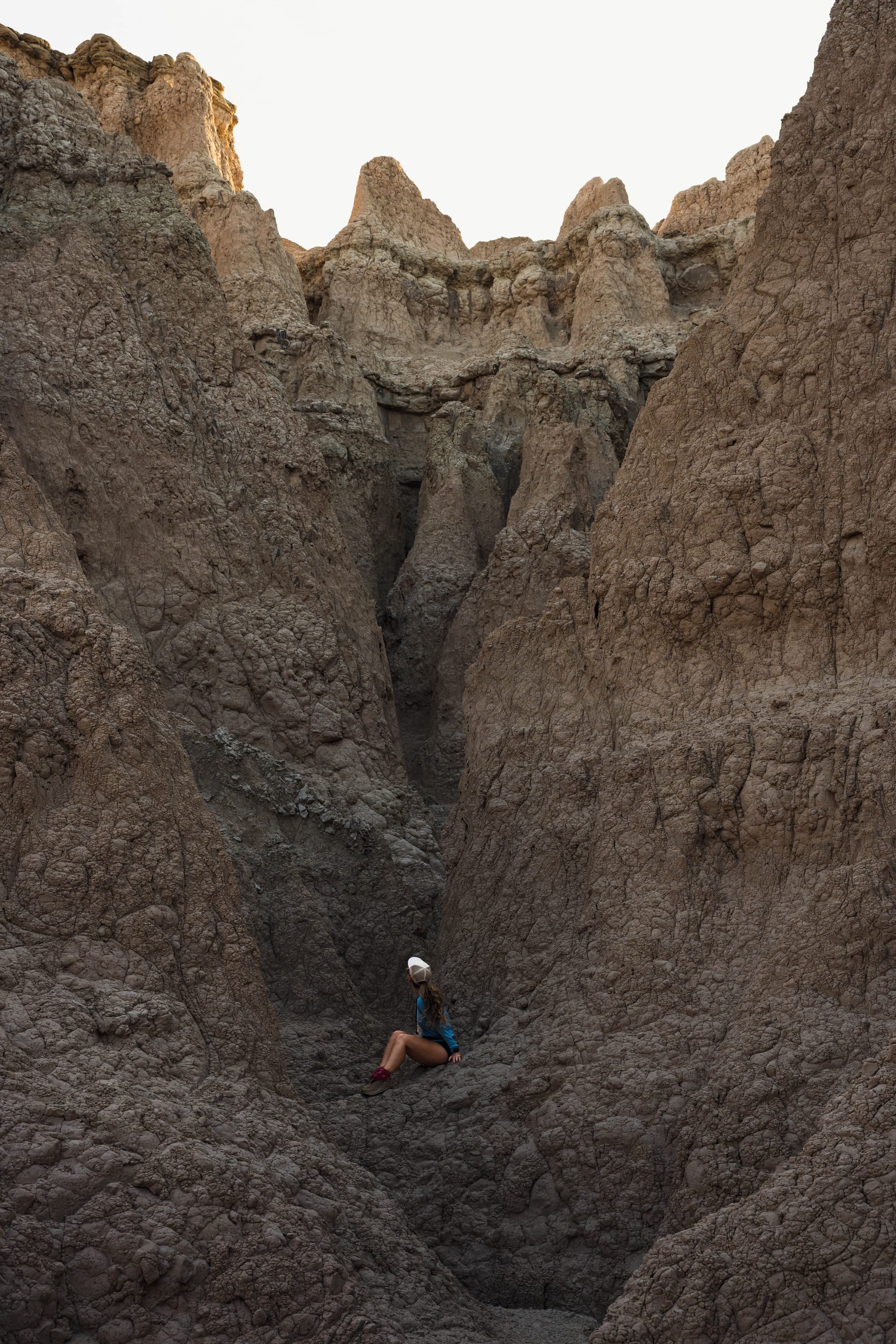
After it rained, that description made more sense. The same clay that made the formations' colors so pronounced also became slick and sticky underfoot.
The Lakota relationship with this landscape extends far beyond the name.
Stronghold Table, within the South Unit, holds particular historical and spiritual significance and is associated with the Ghost Dance movement of 1890. That period came amid enormous pressure on Lakota communities from land loss, confinement to reservations, forced assimilation, and federal efforts to suppress Native religion and culture.
Federal land policy continued changing the landscape.
The Dawes Act and related policies divided communally held tribal lands into individual allotments and opened so-called surplus land to non-Native settlement, contributing to massive losses of tribal territory across the country.
Then, during World War II, another large section of the Pine Ridge Indian Reservation was taken for an aerial gunnery and bombing range.
Families living there were forced to leave.
Much of what is now the South Unit falls within that former range. Military exercises damaged archaeological and paleontological resources, and unexploded ordnance remains a concern in some areas today.
When most of the range was later declared excess, negotiations among the Oglala Sioux Tribe, former landowners, federal agencies, and the National Park Service produced the unusual arrangement that exists today: land held in tribal trust but managed as part of Badlands National Park.
That history explains the modern boundary better than the map alone can.
Badlands was first authorized for protection as a national monument in 1929 and formally established in 1939. Its boundaries changed repeatedly afterward. The South Unit was incorporated later, and Badlands became a national park in 1978.
Its present shape reflects several overlapping histories of tribal land, federal policy, military use, conservation, and changing ideas about what this landscape should be used for.
The park was not created in one clean act of preservation.
It accumulated, in a way, almost like the landscape underneath it.
Layer after layer, each carrying evidence of what came before.

⚡ TL;DR
- Park highlight: Eroded formations, fossil-rich geology, and mixed-grass prairie in a landscape that changes dramatically with light and weather
- Best for: Landscape photography, geology, fossils, wildlife, and exploring directly through the formations
- Skip if: Eroded landscapes, fossils, and geology aren't enough to hold your interest
- Worth planning around?: Yes
Final Thoughts
Badlands made more sense once we stopped thinking of the formations as finished objects.
They are temporary.
Water is cutting through them. Fossils and archaeological material appear as the sediment around them disappears. Eventually the pinnacles and ridges defining the park today will disappear too.
We saw a smaller version of that constant change over a single weekend.
Midday light hid detail. Sunrise and sunset exposed shape. Rain made differences between the layers much easier to see.
None of those conditions changed the underlying landscape.
They simply revealed more of it.
The same thing happened as we learned more about the place. What first looked like a strange collection of eroded formations turned out to contain evidence of ancient seas, extinct mammals, living prairie, thousands of years of human use, and a complicated history of land ownership and protection.
Badlands is still being uncovered.
The process revealing it is also slowly erasing it.