Moab, Utah
Moab had been sitting in our imagination for a long time.
It is one of those places that seems to come up constantly if you spend enough time around hikers, RVers, photographers, climbers, mountain bikers, or anyone with dust permanently worked into their shoes. Eventually, it starts to feel less like a destination and more like a place you are supposed to pass through at least once.
We came to Moab expecting National Park access. Arches was nearby. Canyonlands was close enough for repeat visits. Dead Horse Point was an easy addition. On paper, it made sense as a basecamp.
What surprised us was how quickly Moab became part of the trip itself.
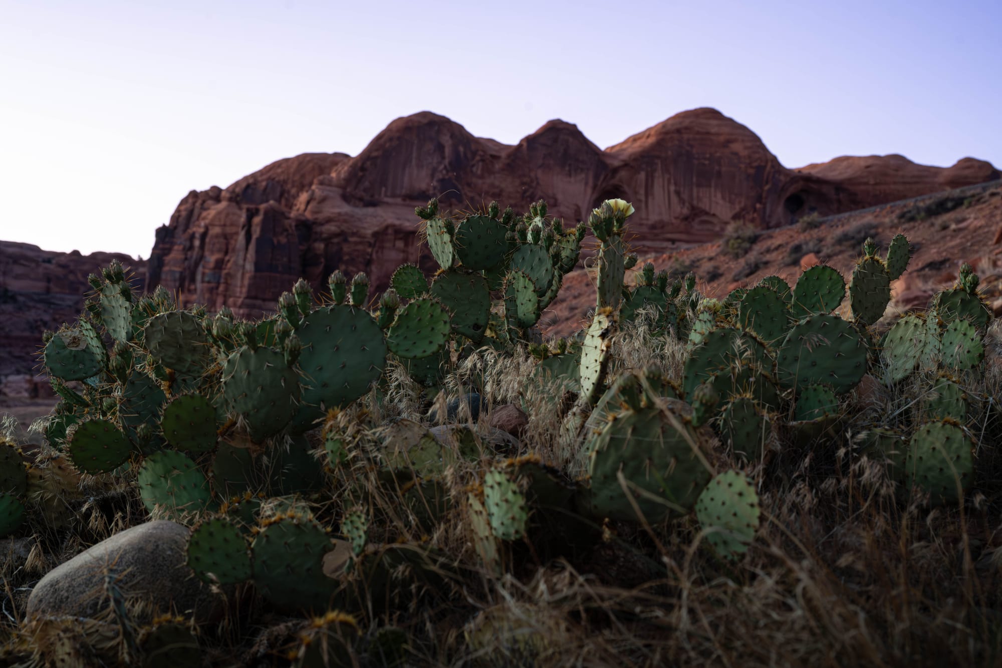
It did not feel like a town built only around the parks. There were local shops, tasty restaurants, trail-dust parking lots, and enough red rock on every horizon to remind you that even errands happened inside a landscape.
Before we left, we were already talking about coming back.
🗺️ The Lay of the Land
- Location: Moab, Utah · 38.5733, -109.5498 · [Google Maps]
- Official site: Discover Moab
- Landscape: red rock desert · canyon country
- Vibe: red rocks, trail dust, and desert town energy
- Our stay & conditions: May 6–11, 2026 · 5 nights · warm days, cool mornings, clear desert conditions
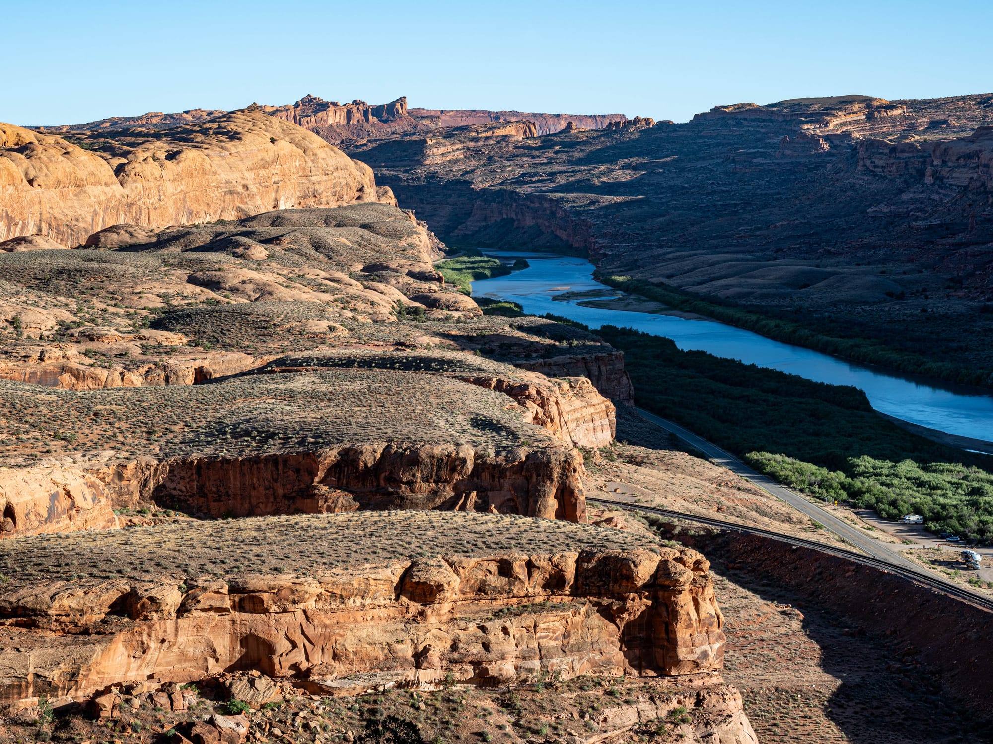
We drove to Moab from Navajo State Park in Colorado. The route took us west on US 491, over the mountain pass in Colorado, then northbound on Utah 191.
It was one of those drives where the landscape changes slowly enough that you notice it, then suddenly enough that you realize you are somewhere else entirely.
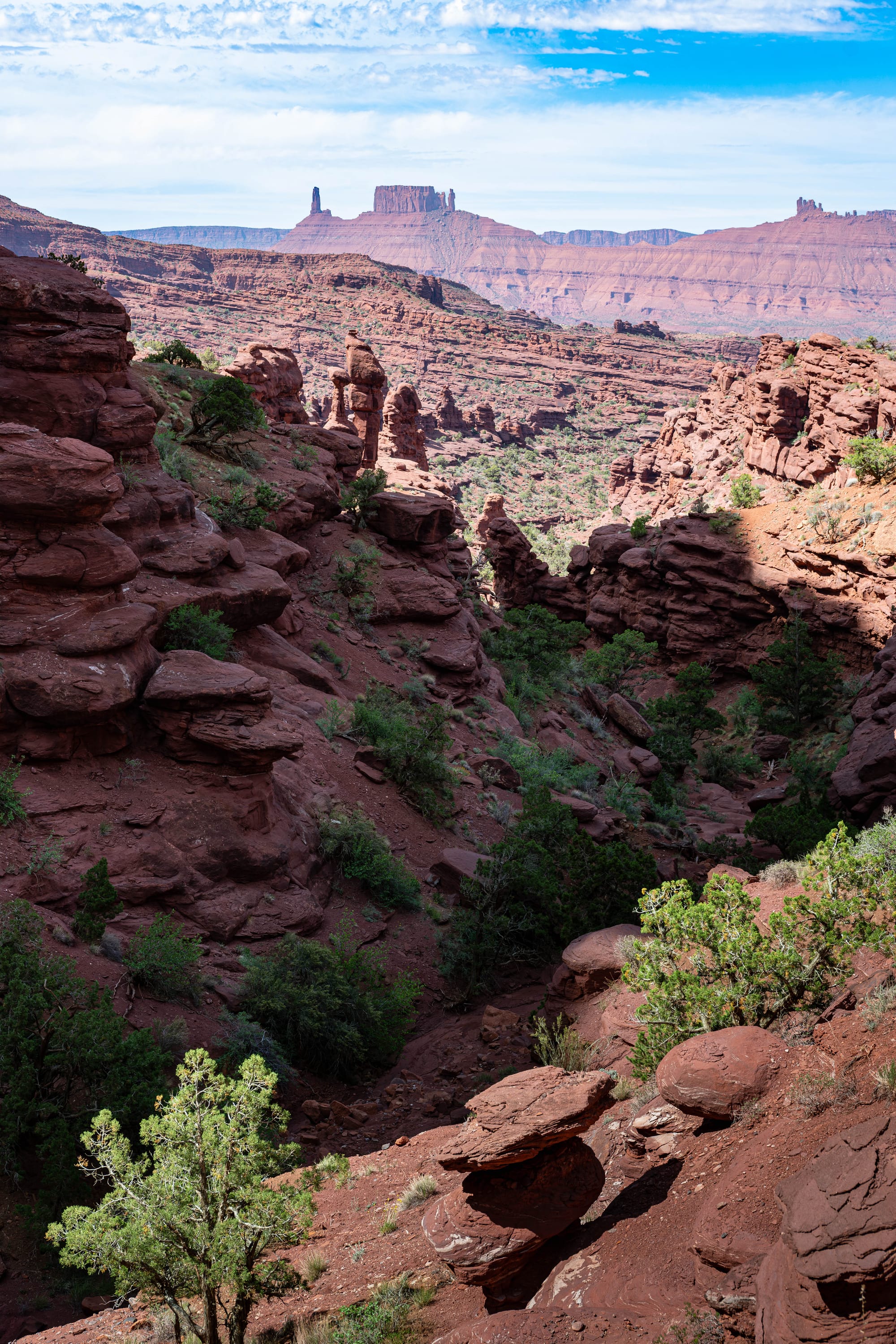
Colorado gave us elevation, open distance, and mountain edges. Utah trades that for sandstone, dry washes, and the first signs of red rock country. By the time we reached Moab, the town felt tucked into the terrain rather than placed beside it.
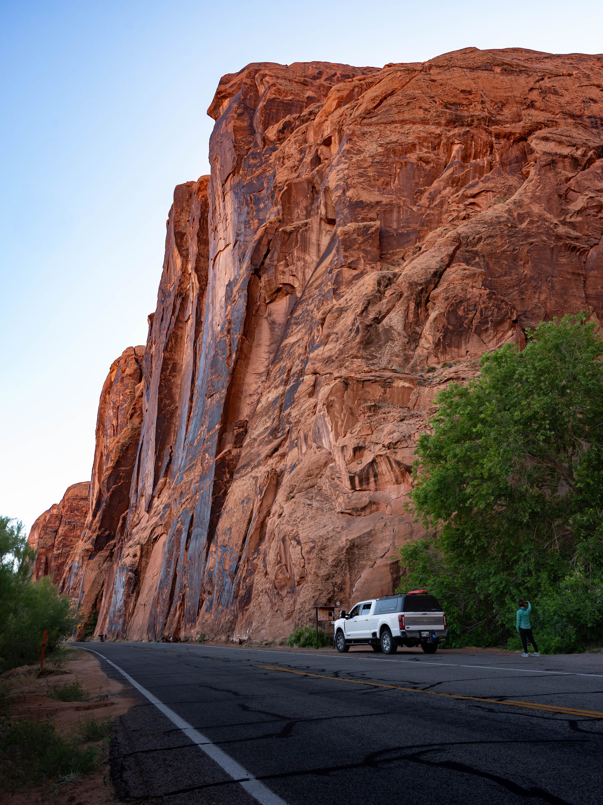
We stayed at Sun Outdoors North Moab, which worked well for what we needed. The sites were gravel, level, and full hookup. Nothing about it needed to be complicated, which is exactly what you want when the real purpose of the stay is to get out early, come back dusty, shower, eat, sleep, and do it again.
The location made the landscape reachable. Arches was close enough that we visited three times. Canyonlands was far enough to feel like a day plan but close enough that we went twice. Dead Horse Point, Potash Road, Fisher Towers, and downtown Moab all fit naturally into the stay.
A Little Moab Context
Moab has had multiple lives.
Before it became shorthand for outdoor recreation, the area moved through ranching, mining, uranium, and boom-and-bust cycles tied to the larger Colorado Plateau. The Moab Museum describes uranium as a major chapter in the town’s history, part of nearly 150 years of mining across the region. The uranium boom brought new motels, cafes, stores, schools, and businesses to Moab.
That history matters because Moab does not feel like a place invented from scratch for visitors.
It feels layered. There is the old working landscape, the mining roads, the river corridor, the downtown storefronts, the campgrounds, the guide shops, the bike racks, and the national park traffic all sharing the same narrow desert town.
The recreation economy is obvious now, but it sits on top of something older and more complicated. Moab is polished in places, dusty in others, and still rough enough around the edges to feel real.
What Is Going On With This Landscape?
The Moab area makes you ask the same question over and over again:
How did this happen?
The short answer is sandstone, salt, uplift, cracking, water, wind, and time.
The longer answer is better.
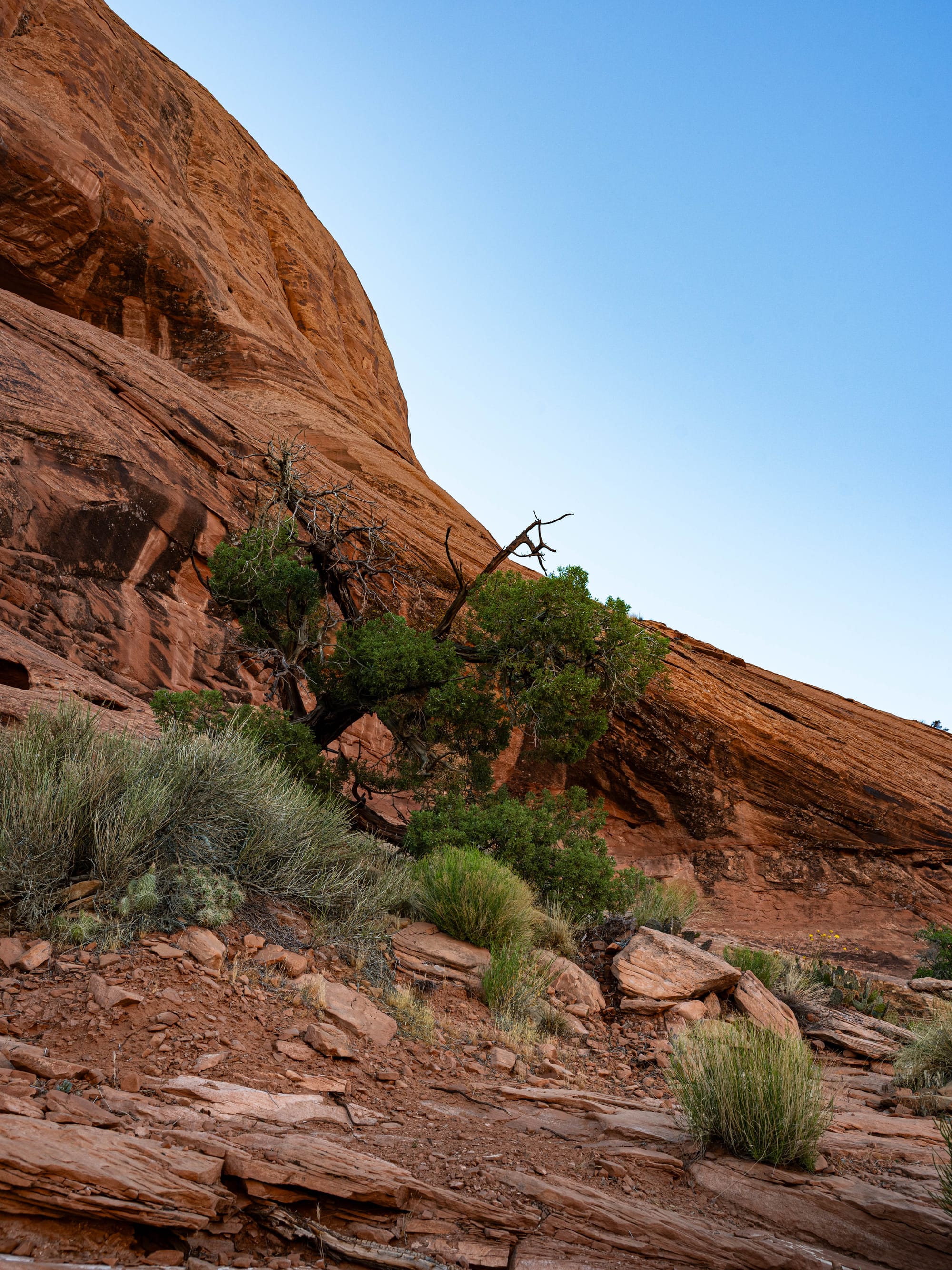
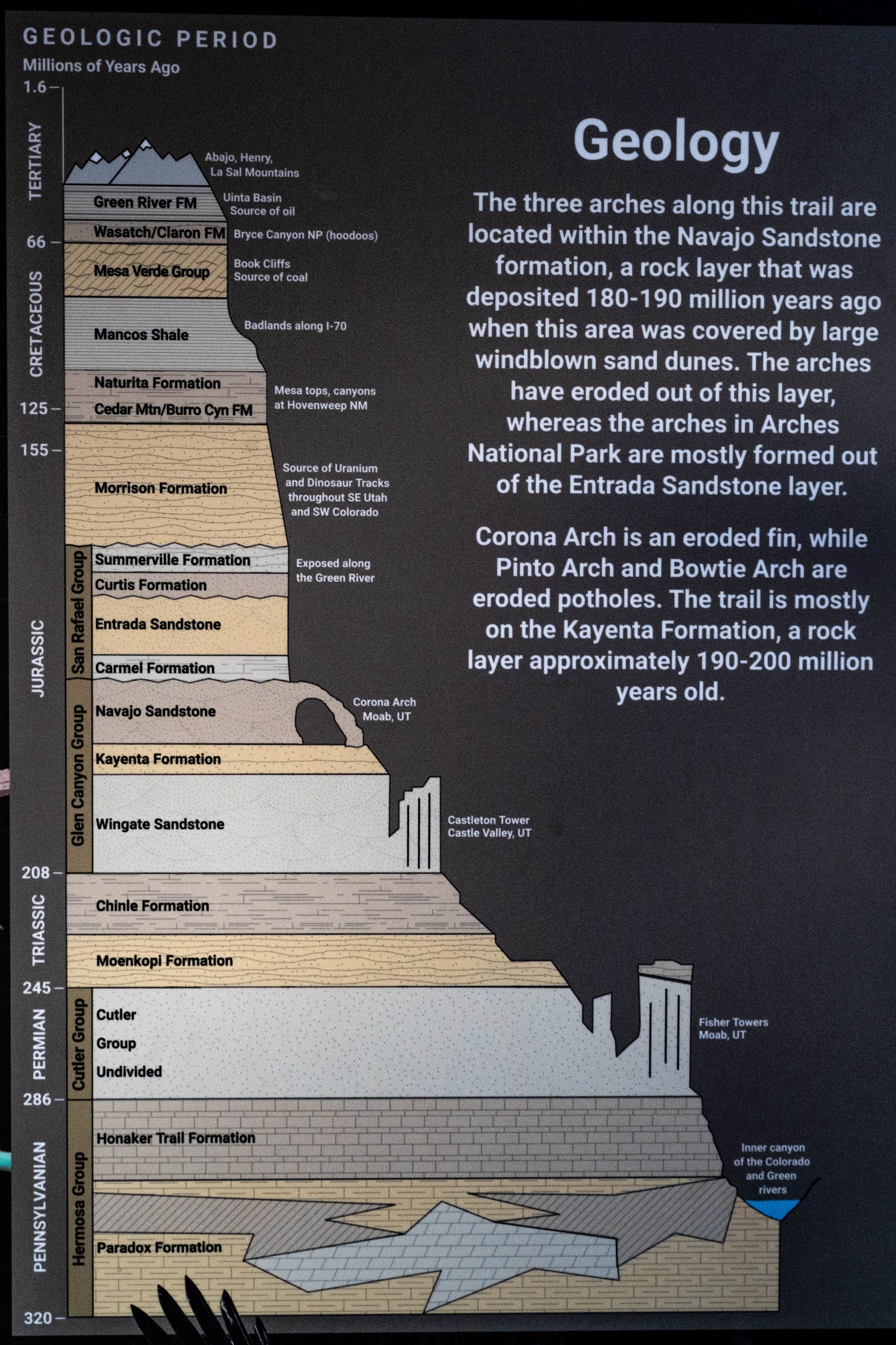
Moab sits in the red rock country of the Colorado Plateau, where layers of sedimentary rock were stacked over millions of years, buried, lifted, fractured, and carved back open. Around Arches NP Entrada Sandstone were fractured into long parallel lines. Over time, erosion worked on those cracks and weaknesses, shaping fins, windows, arches, and walls.
Salt also plays a bigger role than you might expect.
Ancient salt beds underneath the region shifted under the weight of overlying rock. That movement helped bend and fracture the rock above it, creating weak points that erosion could later exploit. NASA describes it as a landscape where salt, time, water, and erosion helped sculpt thousands of sandstone arches and related forms.
That helps explain why the landscape feels organized even when it looks chaotic.
The cliffs, fins, towers, bowls, benches, canyons, and arches are not random. They are the visible remains of layers breaking down at different speeds. Softer rock erodes faster. Harder caps protect what sits underneath. Cracks widen. Blocks fall. Water finds the easiest path. Gravity finishes what weather starts.
With some geologic understanding you stop seeing the red rock as scenery and start seeing it as a process. The land is not frozen. It is just moving on a timeline that makes us look impatient.
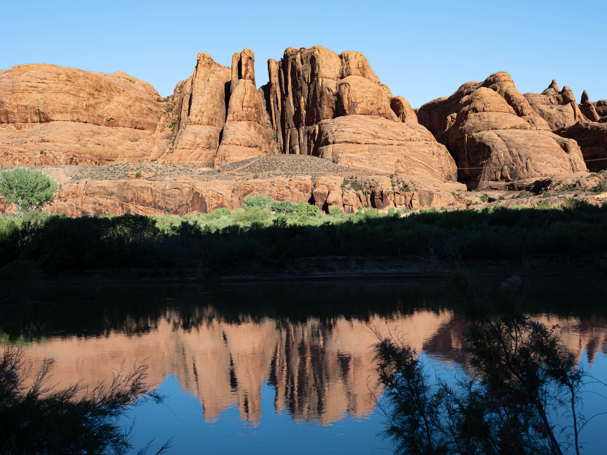
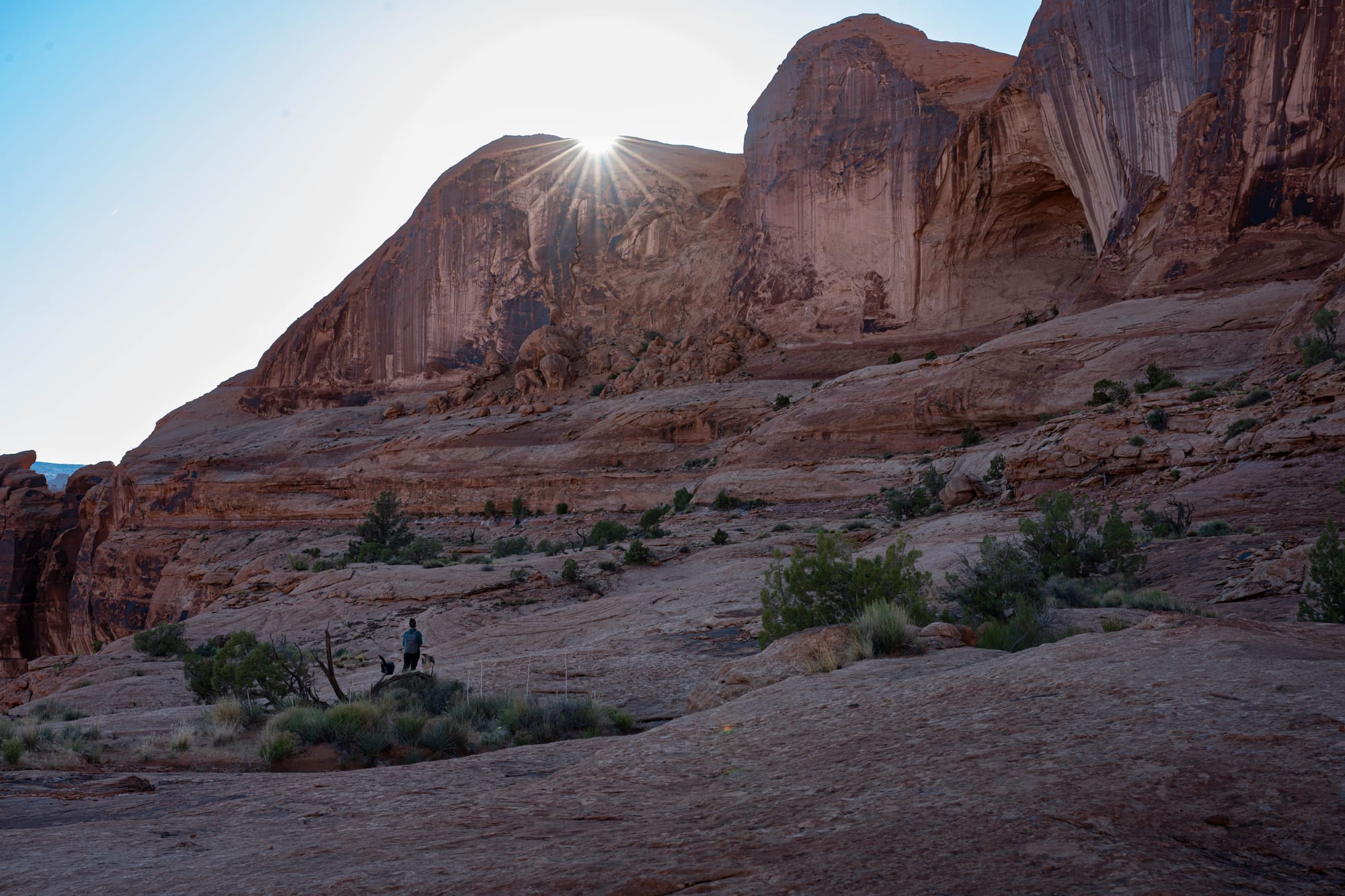
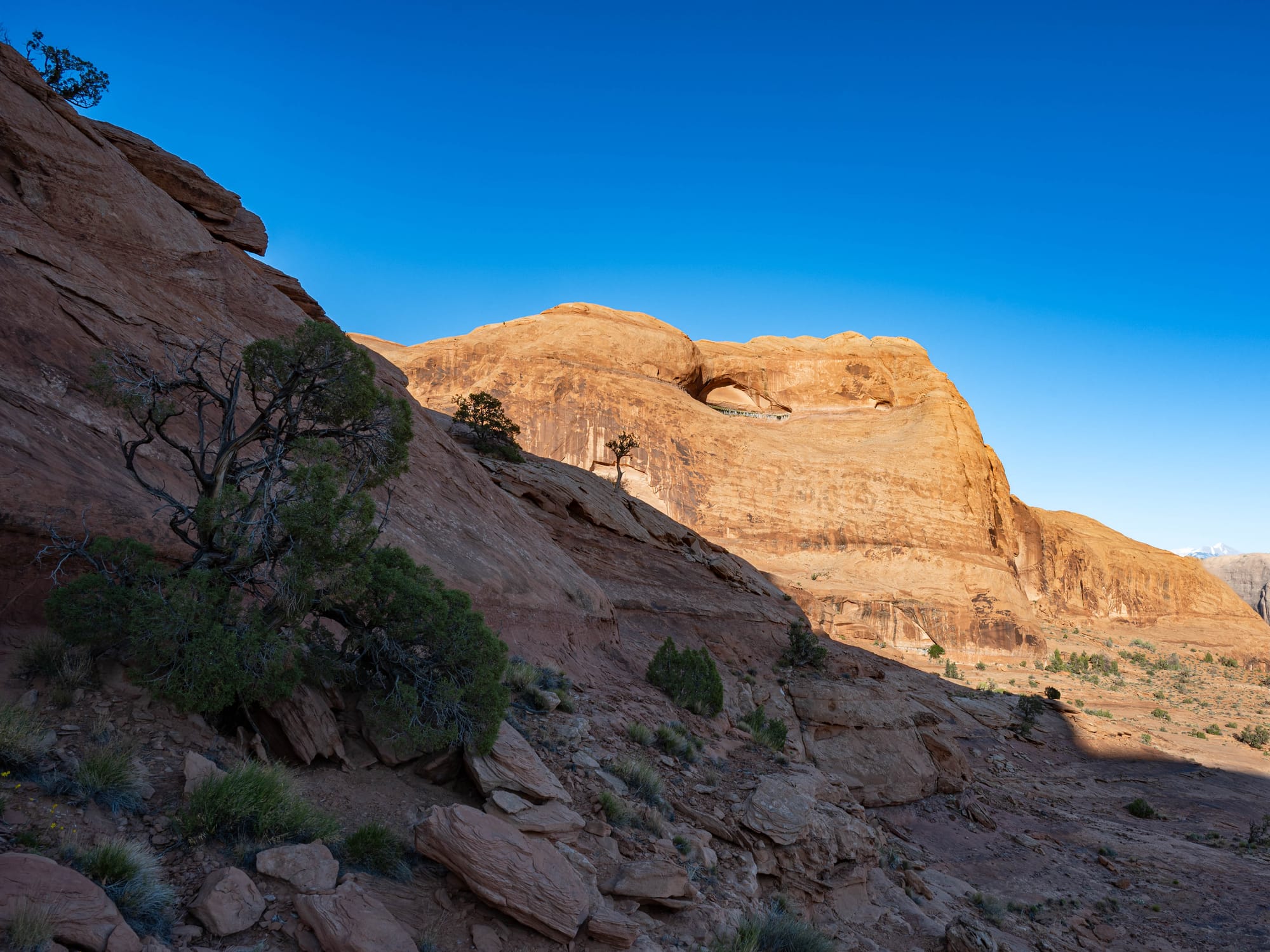
Corona Arch at Golden Hour
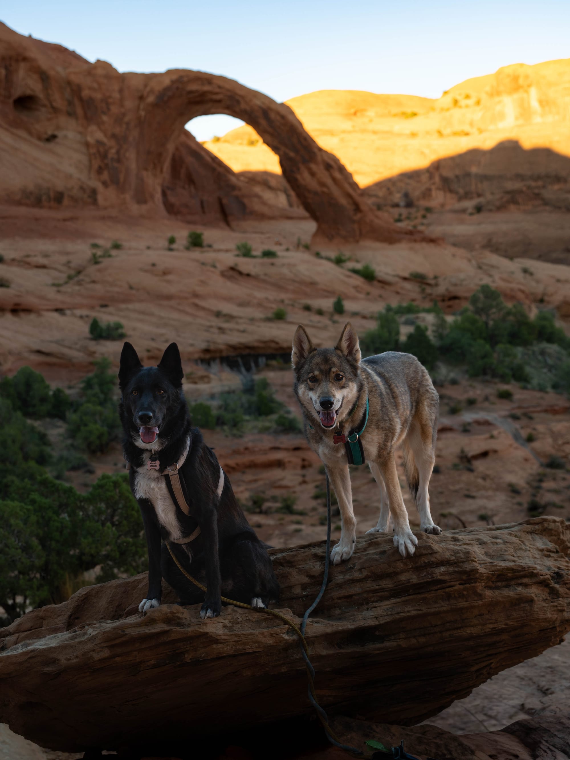
Corona Arch was our first hike in Moab.
The trail begins off Potash Road, along the Colorado River corridor west of town. BLM lists Corona Arch as a moderately strenuous 3-mile round trip hike with ladders in a few sections. We added the side trail to Pinto Arch and wandered enough that our total hike came closer to five miles.
That extra distance was worth it.
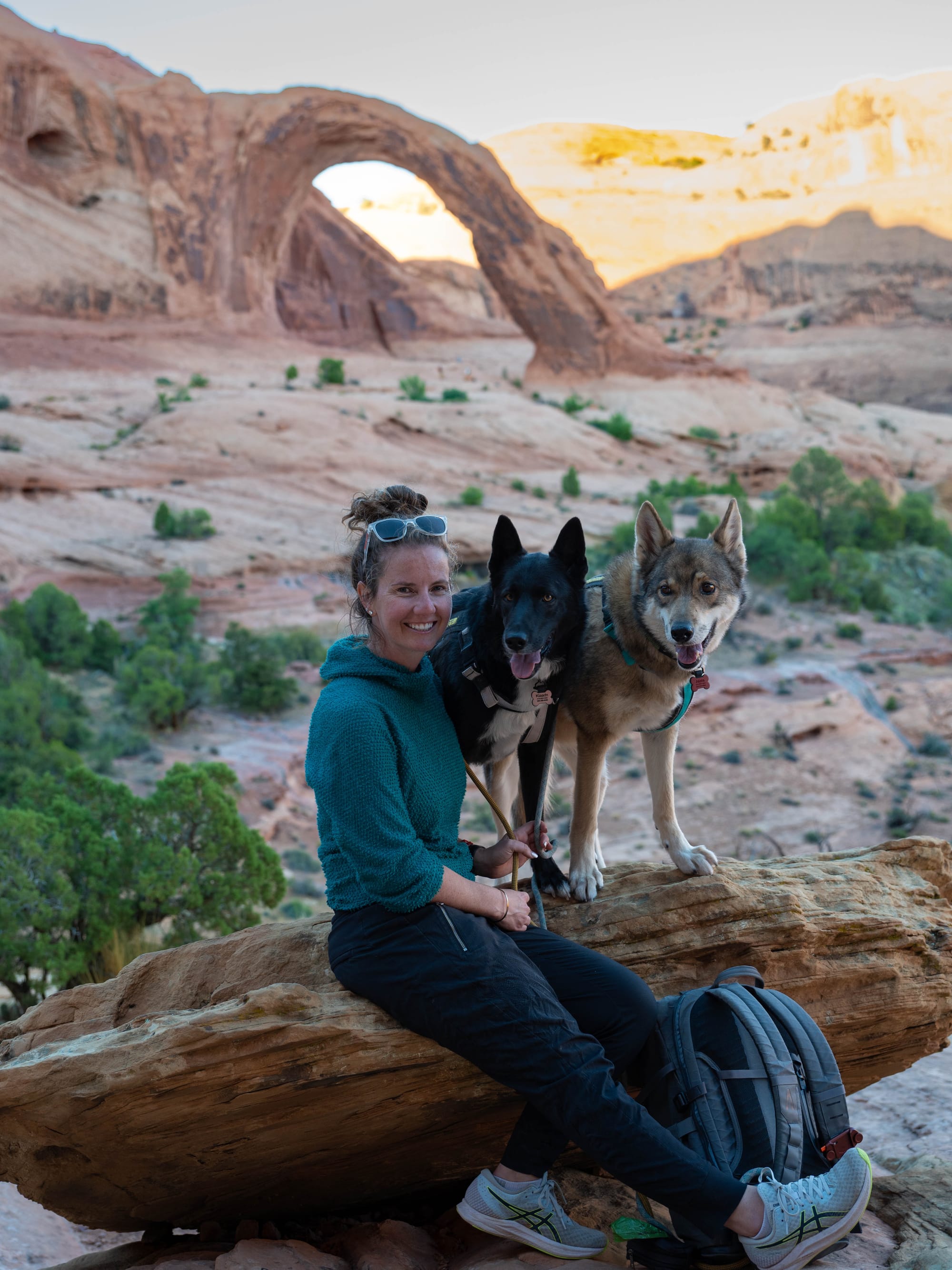
Pinto Arch gave the hike a little more texture before the main event. It also slowed us down, which ended up being the right pace for the evening. We were hiking late in the day, timing our arrival near Corona Arch for golden hour.
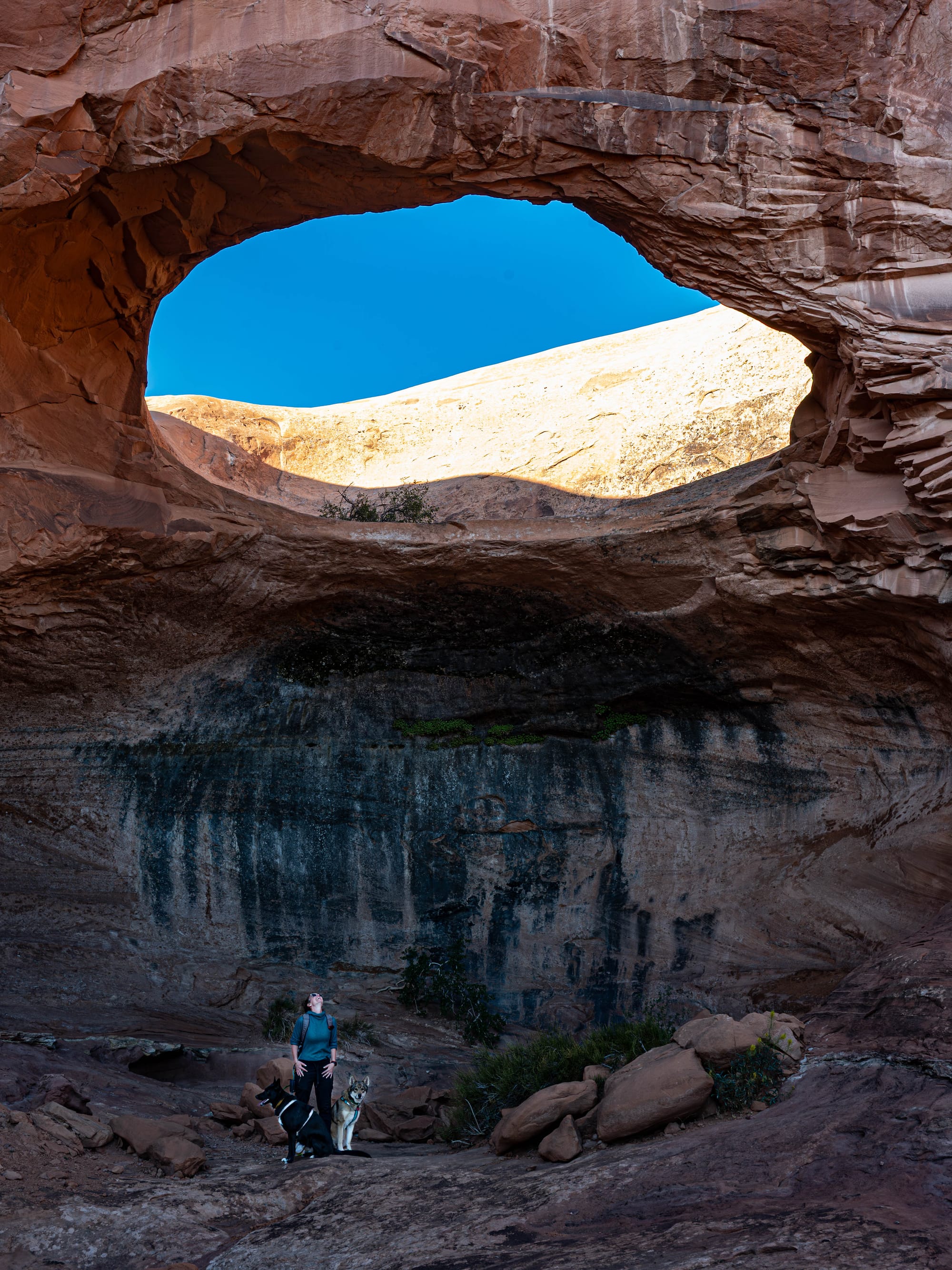
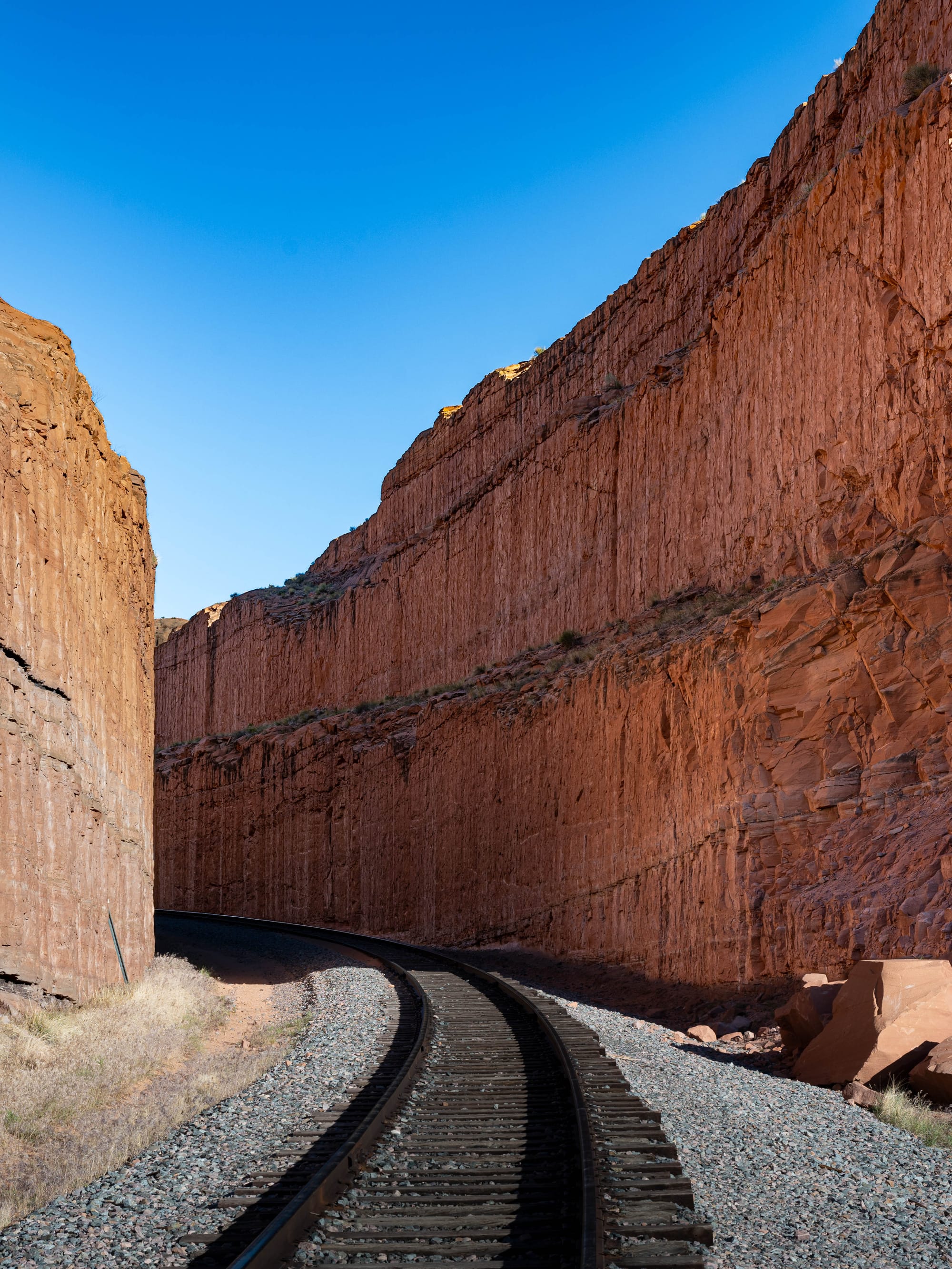
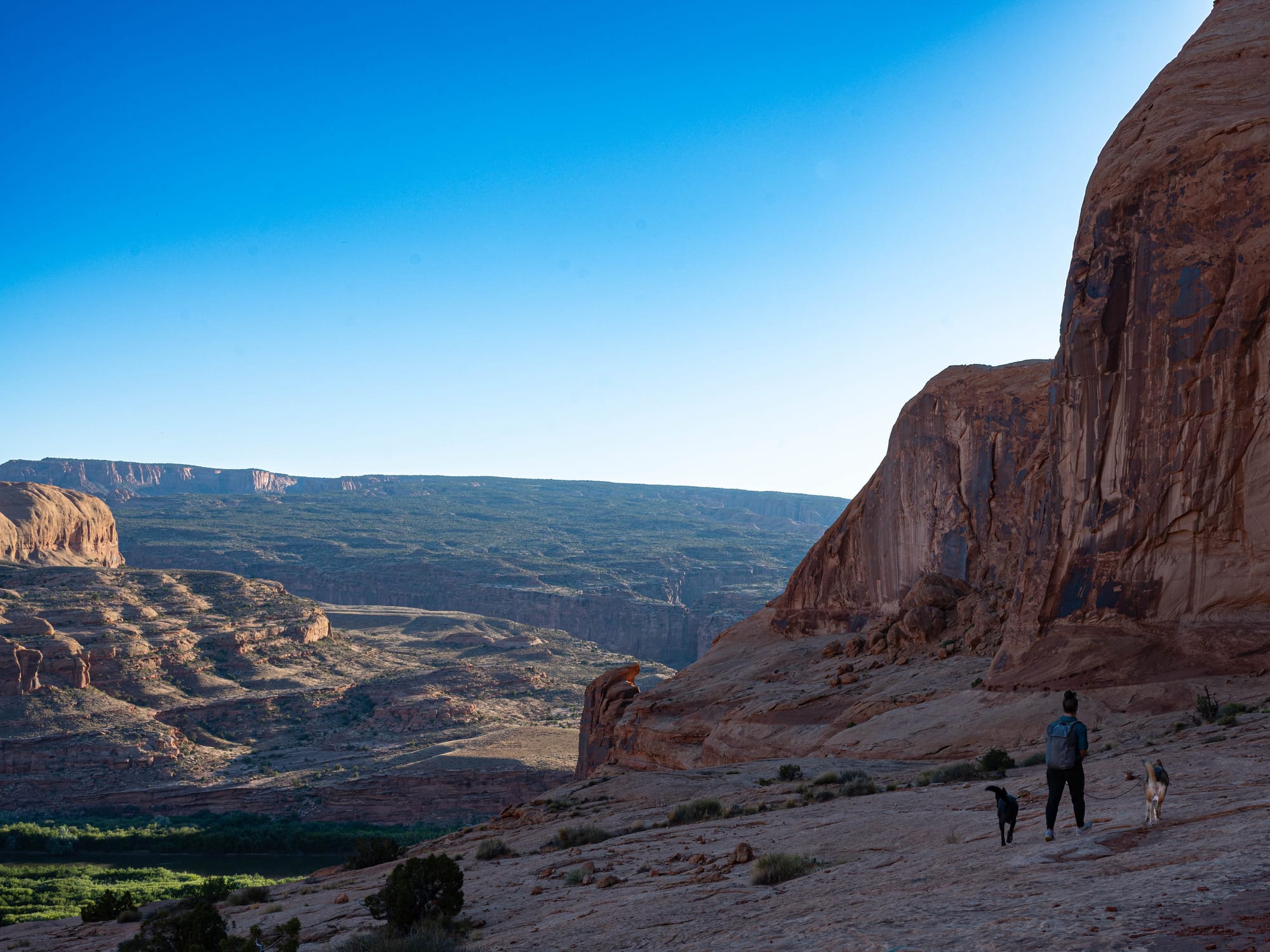
The trail itself has enough variety to stay interesting. There is slickrock, open walking, a railroad crossing near the start, and long views into the surrounding canyon country. It feels less controlled than hiking inside Arches National Park, but not difficult to follow.
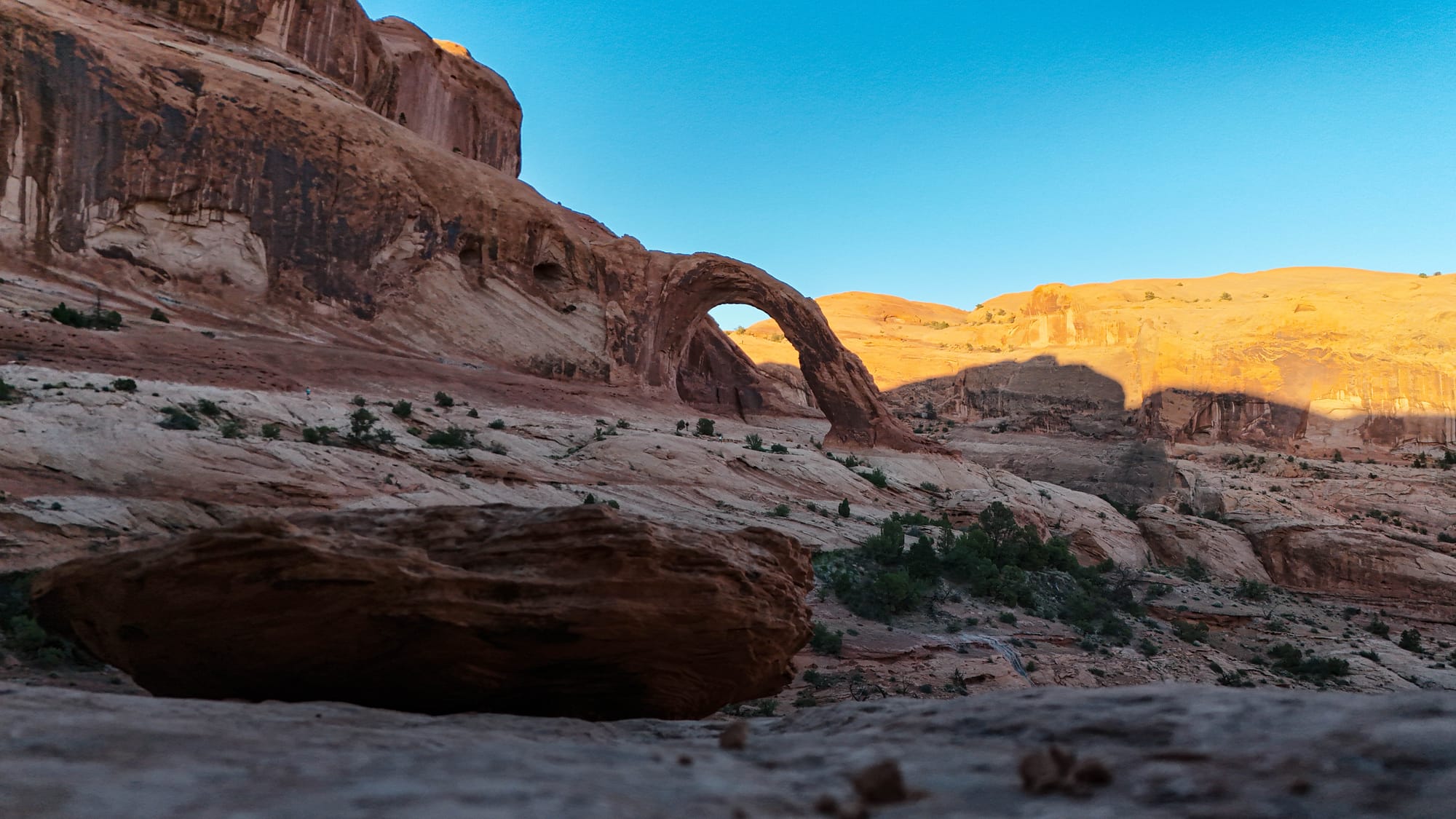
Corona Arch is big in a way that is hard to understand until you are standing near it.
It does not sit tucked away like a small reward at the end of a trail. It opens into the landscape. The arch, the surrounding rock, and the canyon walls all feel connected.
We reached Corona Arch as the light started to change.
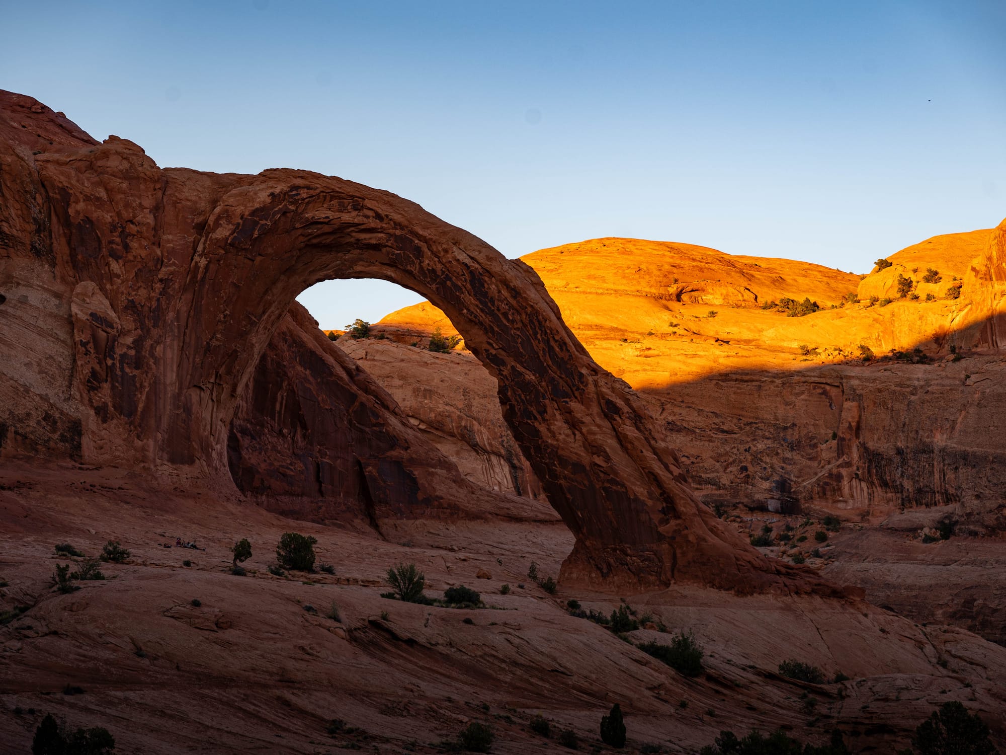
That was the part we will remember. The sun dropped low enough to turn the canyon walls into a moving light show. The red rock kept shifting color as the shadows lengthened. Nothing about it felt rushed. We had done the right hike at the right hour, and the place did most of the work.
It was one of the best moments of the Moab stay.
Fisher Towers in the Morning
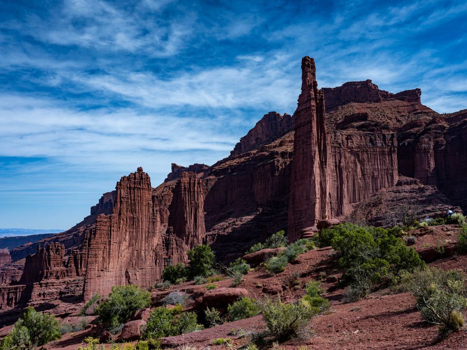
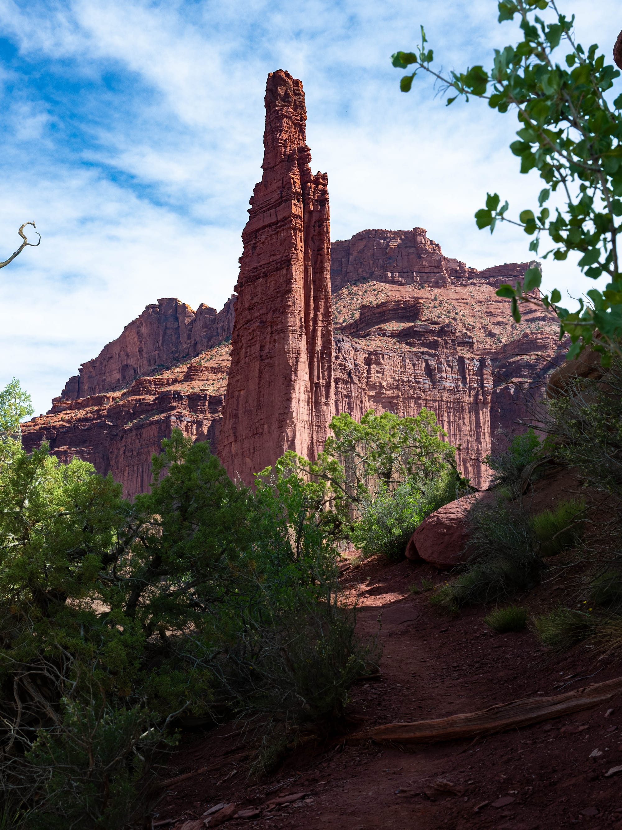
Fisher Towers felt different from everything else we did around Moab.
We got there early, around 8 a.m., and that helped. The light was still low, the air was cooler, and the towers had that strange morning quality where they looked both close and unreal.
Otherworldly is an overused word, but Fisher Towers earns it.
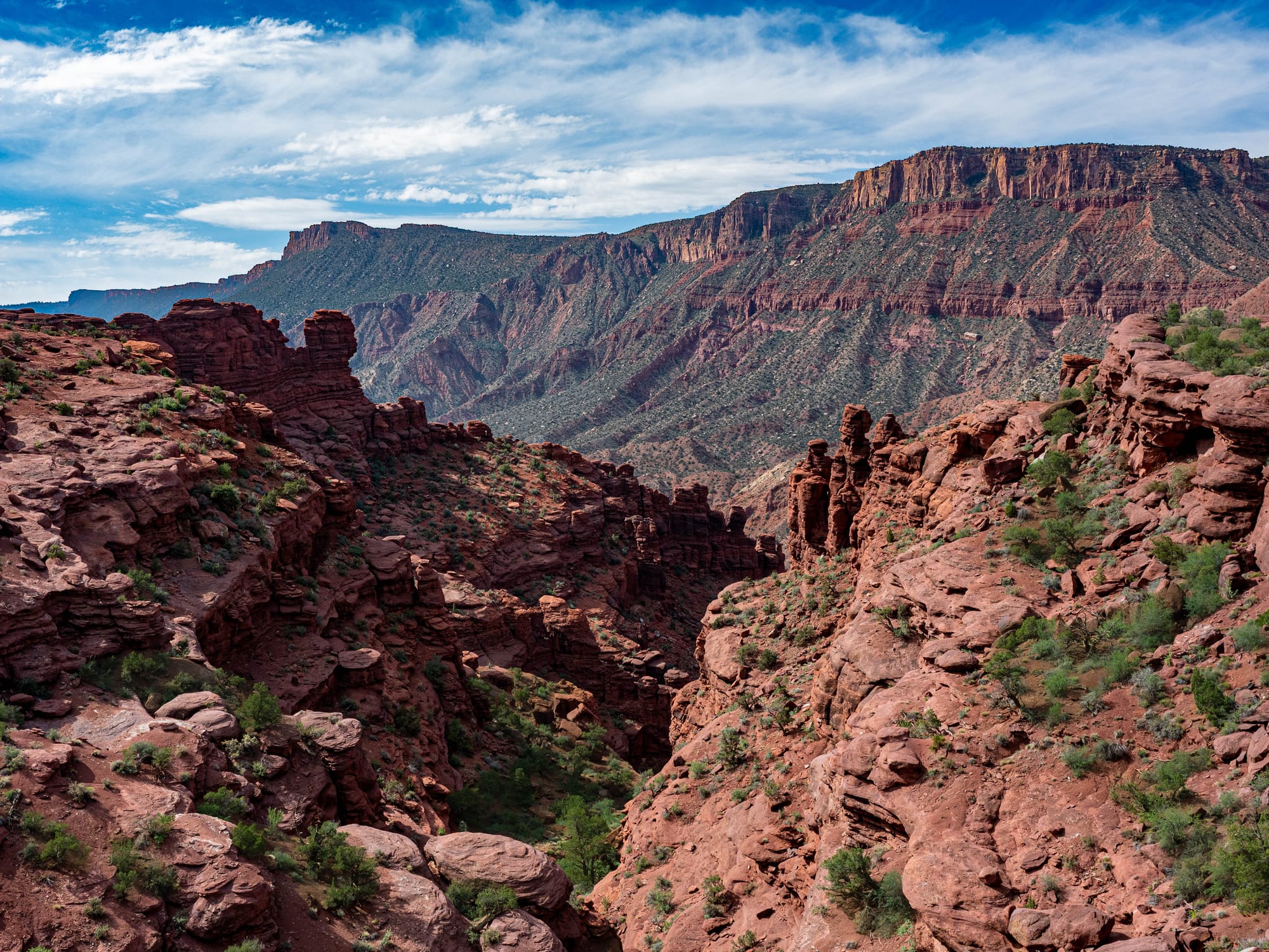
The landscape is rougher and more vertical than the arch country near Moab. It does not have the clean, open elegance of Corona Arch. The towers rise in ragged forms, with dark red and maroon rock stacked into shapes that look temporary, even though they have been forming for an almost impossible amount of time.
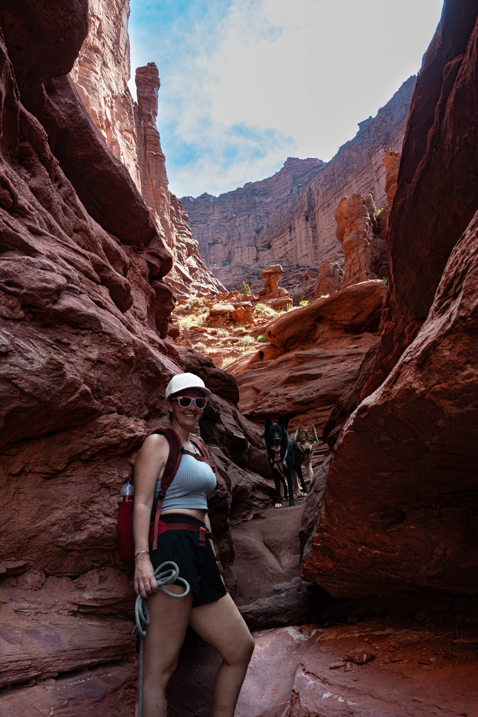
As we hiked, we started noticing climbers moving on the spires above us. At first they were easy to miss, small figures against huge walls of rock. Once we saw them, we kept stopping to look again and take photos.
It changed the scale of the place.
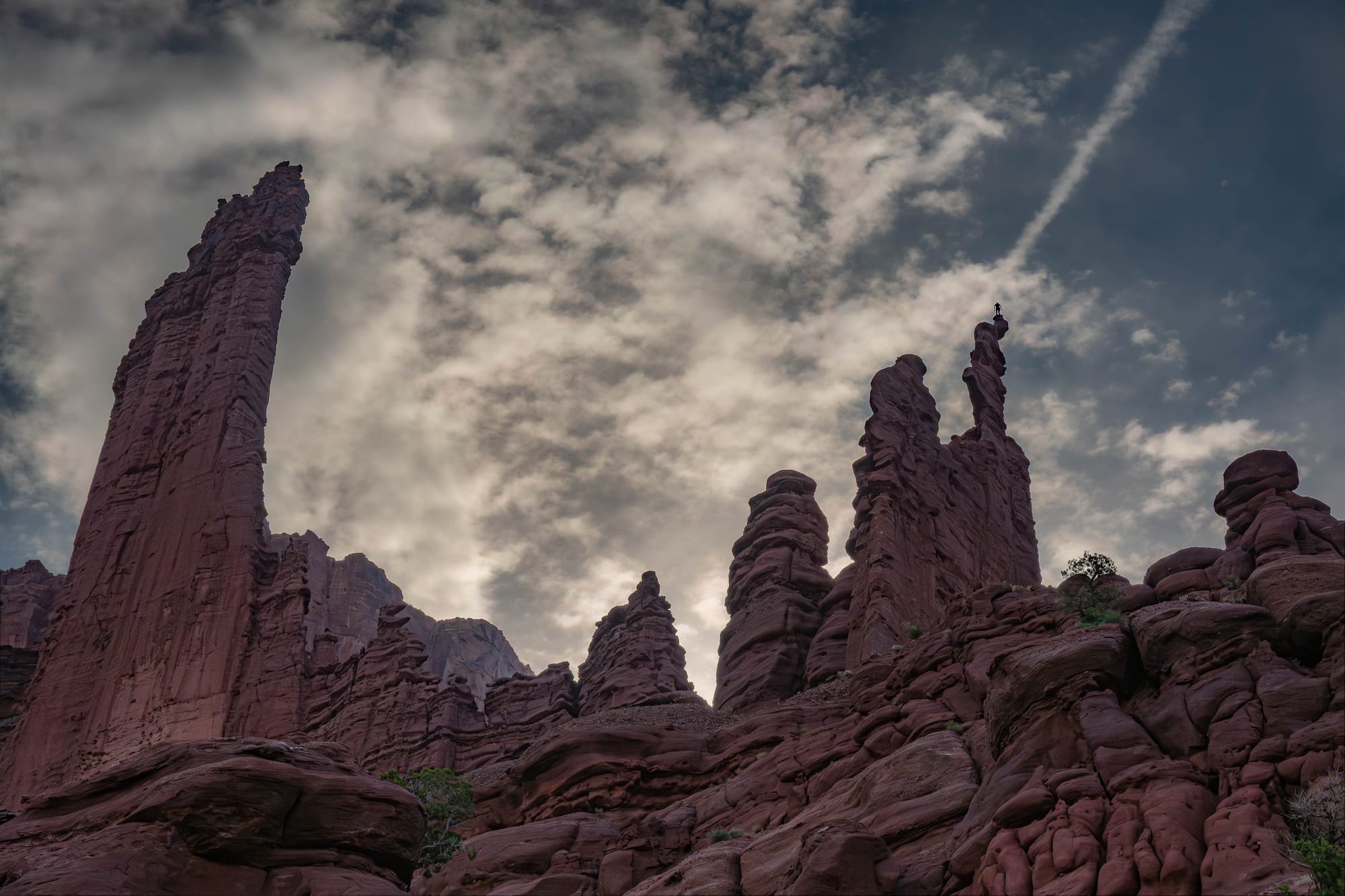
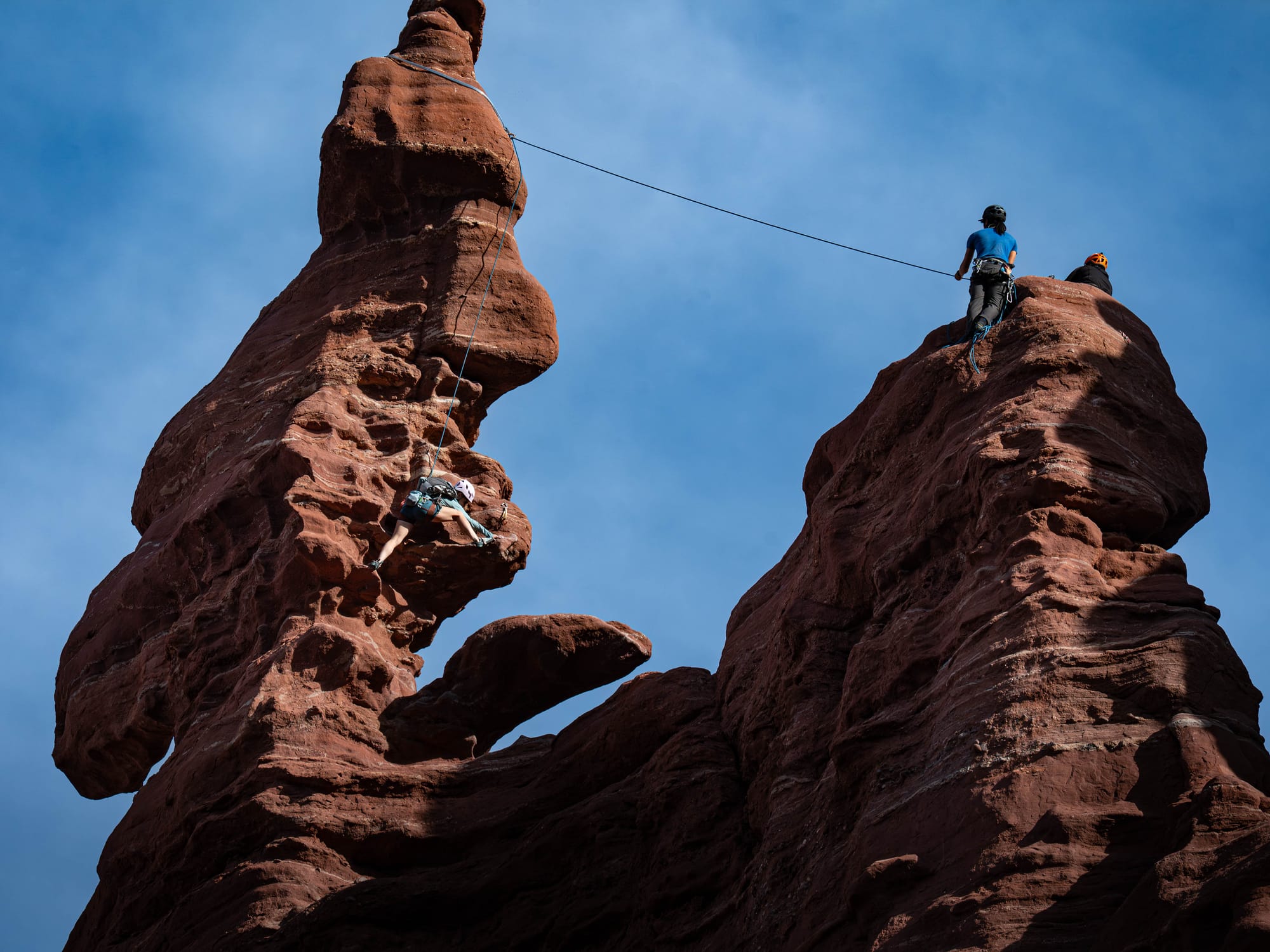
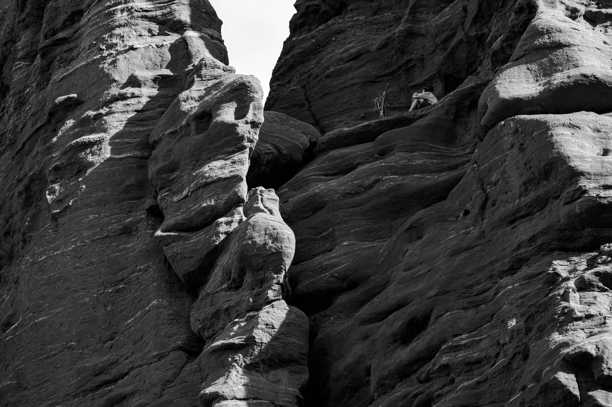
BLM describes the Fisher Towers route as a scenic trail that winds around the base of the towers and climbs toward broad views of the Colorado River basin, Castle Valley, and the surrounding desert. Our hike came in around five miles, which felt like the right distance for the morning. Long enough to get into the landscape, but not so long that the heat became the main subject.
The geology also looks different here because it is different.
Fisher Towers includes red-brown, red-purple, and maroon sedimentary rock, with some of that color coming from hematite, an iron oxide. The darker upper rock belongs to the Triassic Moenkopi Formation, about 245 million years old.
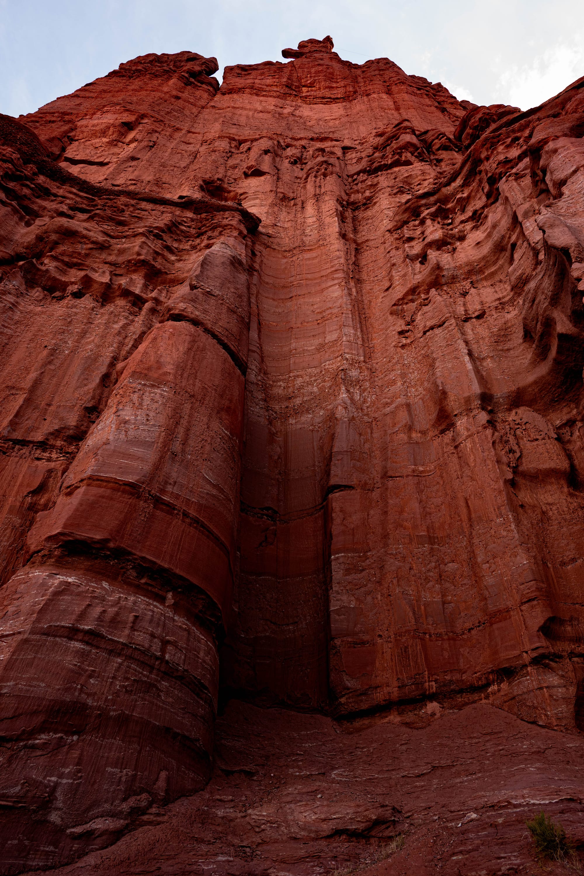
The towers are not just odd shapes. They are the result of different layers weathering at different rates. The harder pieces hold on. The weaker ones give way. What remains looks impossible for a while, then eventually joins the talus below.
Fisher Towers felt like a good counterweight to Corona Arch.
Corona was open, warm, and perfectly timed with sunset. Fisher Towers was cooler, stranger, and more vertical. One hike showed us the elegance of the arch country. The other showed us how weird this landscape can get when erosion starts sculpting upward instead of outward.

⚡ TL;DR
- Park highlight: Moab as a basecamp for red rock country
- Best for: National park access, red rock hiking, photography, and downtown wandering
- Skip if: You want quiet desert without traffic, trailheads, shops, or crowds
- Worth planning around?: Yes
Final Takeaways
Moab was better than we expected.
We arrived thinking of it as the practical place to stay between Arches, Canyonlands, Dead Horse Point, and a few hikes outside the parks. It was definitely that. The access was easy, the RV setup was simple, and the town made the whole area feel manageable.
It had a rhythm we liked. Early starts, dusty trailheads, big drives, good food, local shops, and red rock always somewhere in view. It felt full of people who were there for the same general reason, even if they were doing different versions of it.
Some places are worth visiting once so you can say you saw them.
Moab felt like a place to return to with a longer list, better timing, and more days.