Bighorn National Forest
The drive from Custer Gallatin National Forest to the Bighorns was longer than we usually prefer, but western miles have a way of passing differently.
We recently heard that Montanans consider anything under an hour a short drive. By that measure, our move into Wyoming was merely moderate.
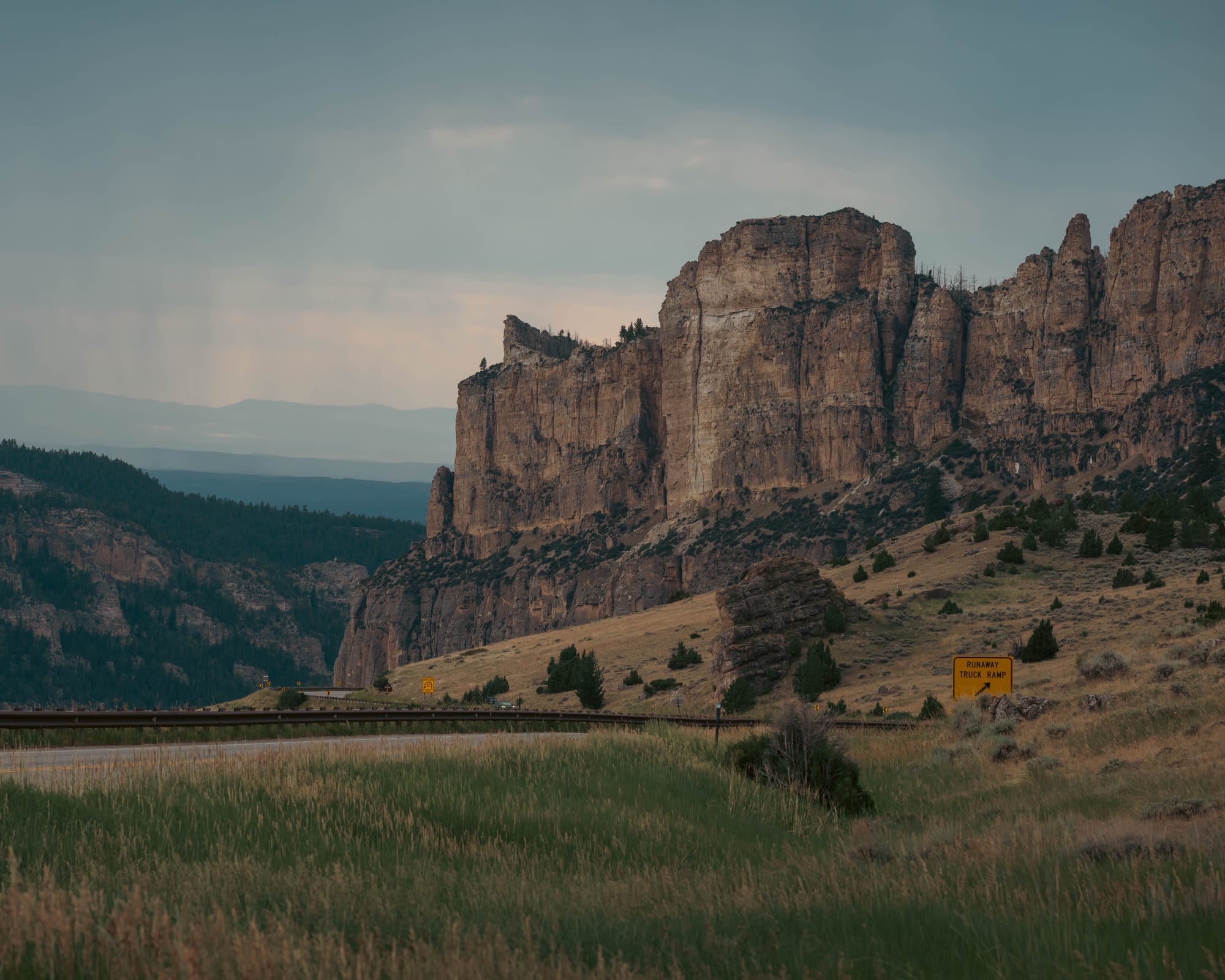
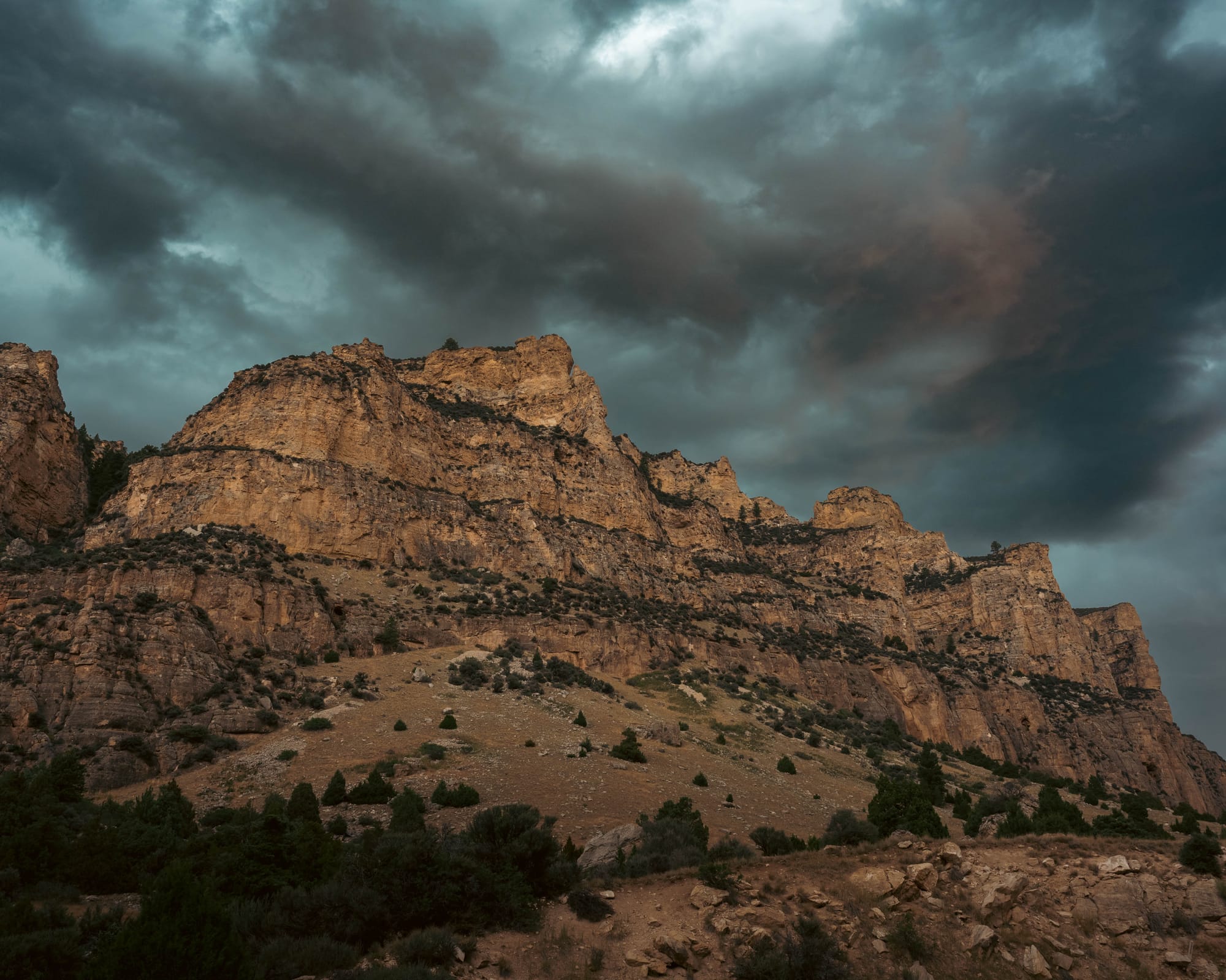
The roads were easy, the scenery epic, and the approach into Bighorn National Forest only became better as we climbed. Broad views gave way to canyon walls, exposed rock, and repeated overlooks across the range.
Boulder Park was our second national-forest stop and the middle stretch of fifteen consecutive days without hookups. We started at Custer Gallatin, and Medicine Bow was still ahead of us.
The batteries stayed charged. The solar panels kept working. Starlink gave us the connection we needed, and there was no reason to leave the forest simply to reset the systems.
That was the real purpose behind the upgrades.
Not better numbers on a monitor or the satisfaction of having more capacity than we needed. The payoff was being able to spend days inside the mountains without reorganizing our travel around power, water, or a return to town.
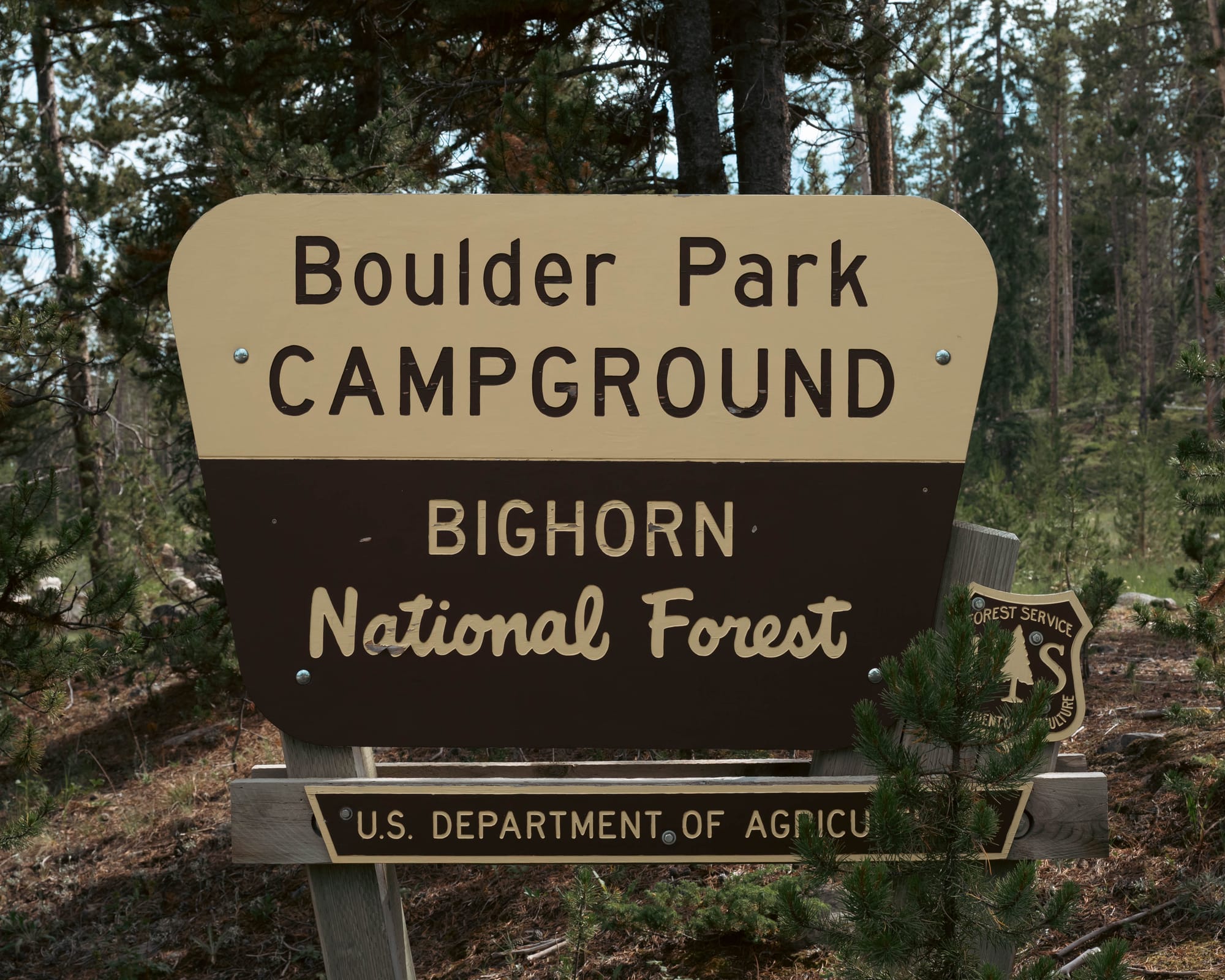
Boulder Park itself was practical. The campground stayed relatively full, but most visitors seemed to rotate through after one or two nights. Our side of the loop was more open, with enough space to avoid feeling crowded.
The campground gave us what we needed: a place to park the Airstream while the surrounding forest kept drawing us farther away from it.
🗺️ The Lay of the Land
- Location: Cloud Peak Skyway, Bighorn Mountains, north-central Wyoming · [Google Maps]
- Official site: Bighorn National Forest
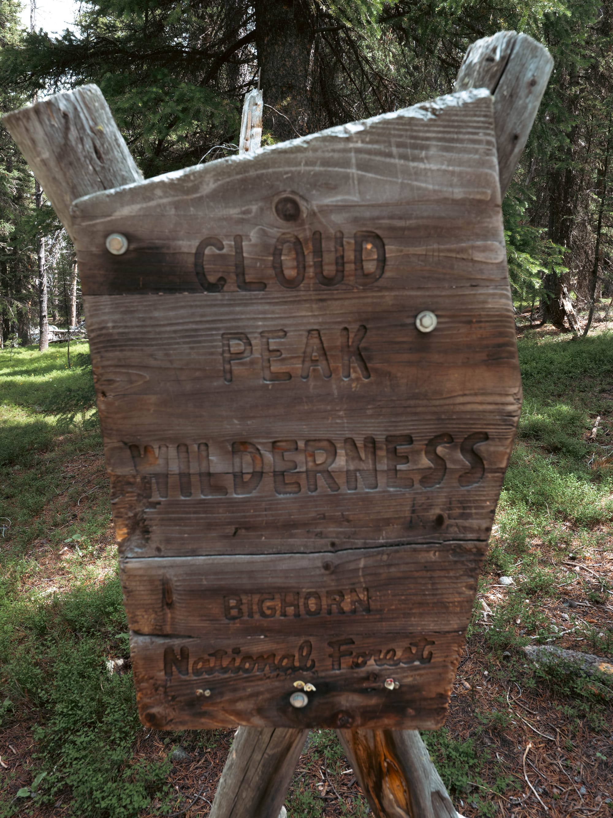
- Landscape: Bighorn Mountains · Tensleep Canyon · Cloud Peak Wilderness · alpine lakes · glacier-carved valleys
- Vibe: High-elevation forest camping with quiet trails, dramatic mountain roads, and direct access to wilderness-scale hiking
- Our stay & conditions: July 15–19, 2026 · 4 nights · mild mornings, rolling afternoon thunderstorms, brief rain, and comfortable hiking temperatures at elevation
🏕️ Camp Setup
- Site types: RV sites · tent sites
- Arrival & setup: Easy
- Hookups: None
- Connectivity: 📶 AT&T ❌ | 📶 Verizon ❌ | 📶 T-Mobile ❌ | 📡 Starlink 🟢 | 📶 Park Wi-Fi ⟂
- Facilities: Vault Toilets · Potable Water · Trash
Legend:
🚽 = sewer at site · 🧻 = dump station
🟢 = solid for work · ⚠️ = usable with limits · ❌ = unusable
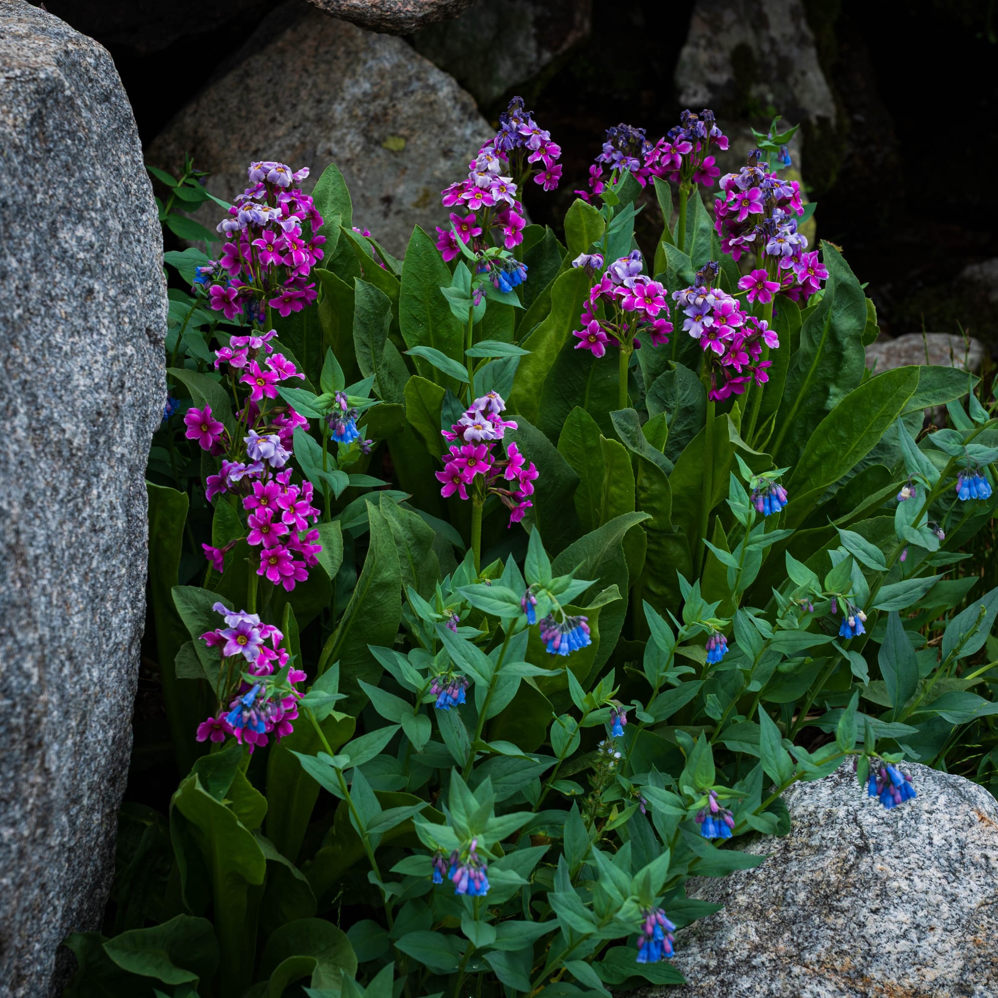
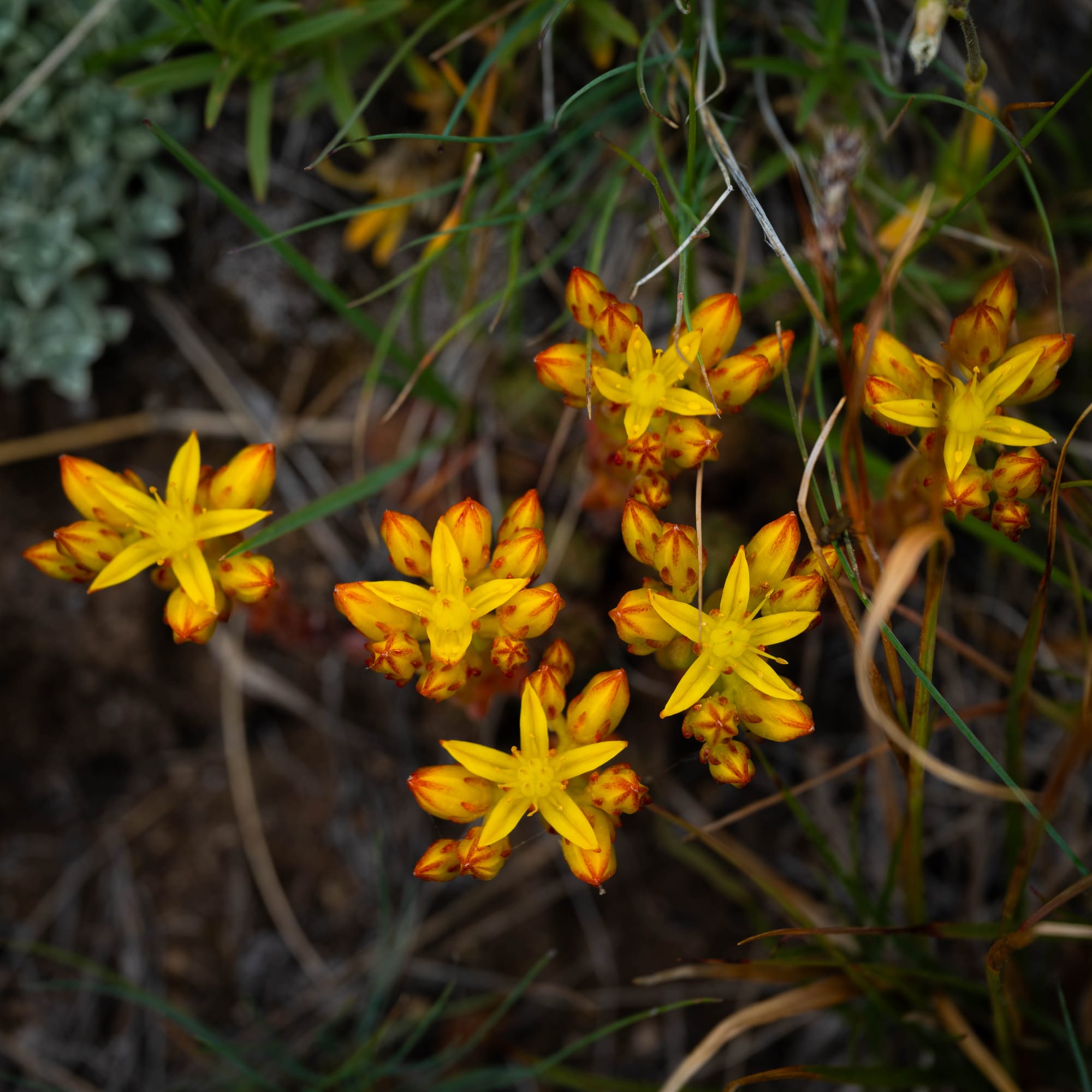
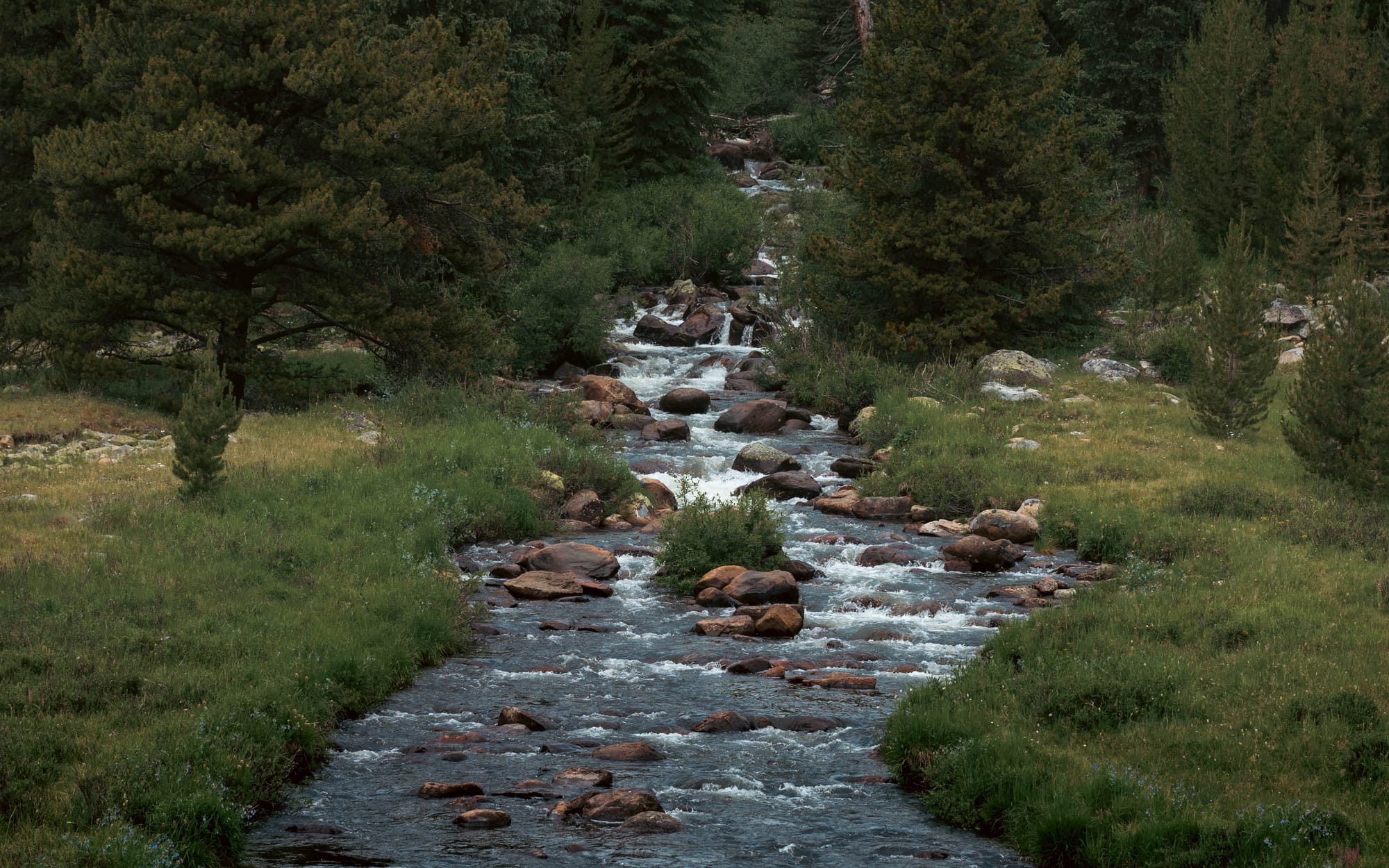
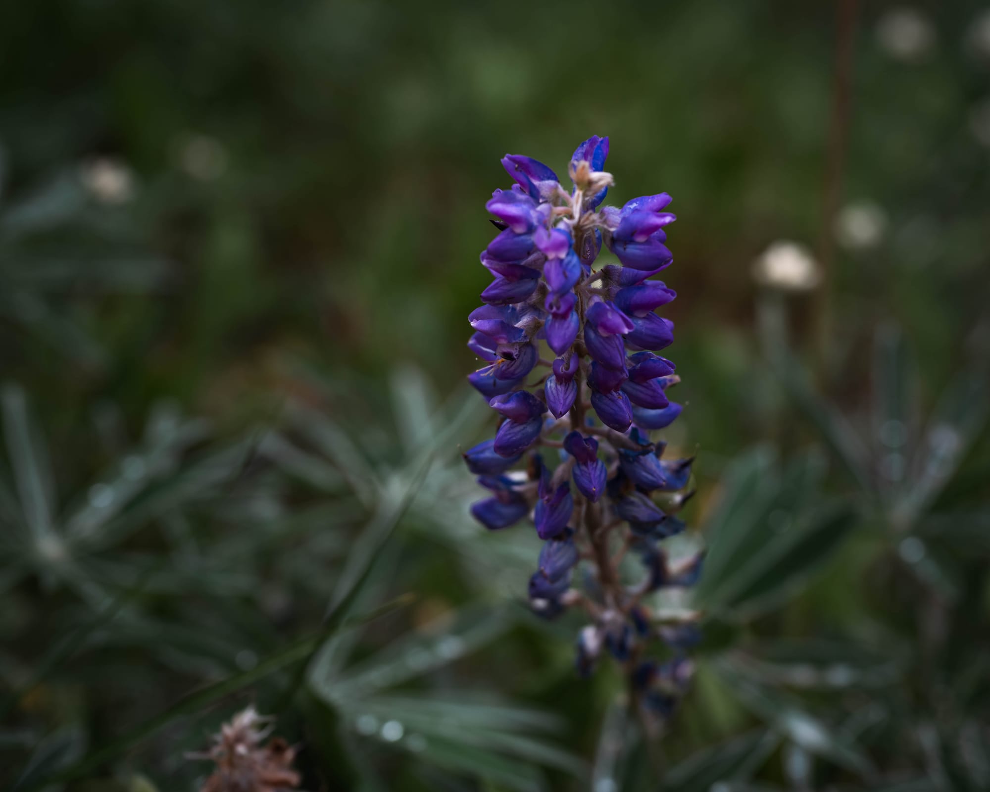
Park Highlights
Bighorn National Forest feels larger than its map suggests.
The mountain range rises between the Powder River and Bighorn basins, separate enough from the surrounding country that the climb into it feels like entering a distinct island of elevation. The roads pass through dry foothills, exposed canyon walls, dense forest, open meadows, and eventually alpine terrain.
Much of that variety comes from the way the mountains formed.
The Bighorns were uplifted as a broad block of ancient rock, pushing older layers upward while erosion cut into the range. Later glaciers reshaped the highest country, carving broad valleys and deep basins that now hold the lakes spread throughout Cloud Peak Wilderness.
The exposed cliffs along the scenic highways show the range in layers. Higher up, those layers give way to the glacial landscape we encountered on foot: granite, meadows, lingering snow, and valleys shaped on a scale difficult to understand from the road.
People have traveled through and depended on these mountains for thousands of years. The federal government created the Big Horn Forest Reserve in the late nineteenth century as part of a broader effort to keep major western watersheds and forest resources under public control.
It protects water and wildlife habitat while supporting grazing, timber management, recreation, and access to the mountains. Within it, Cloud Peak Wilderness carries a stricter mandate. Roads and mechanized travel stop at the boundary, and the landscape continues with far fewer signs of human control.
That difference became more visible with every mile.
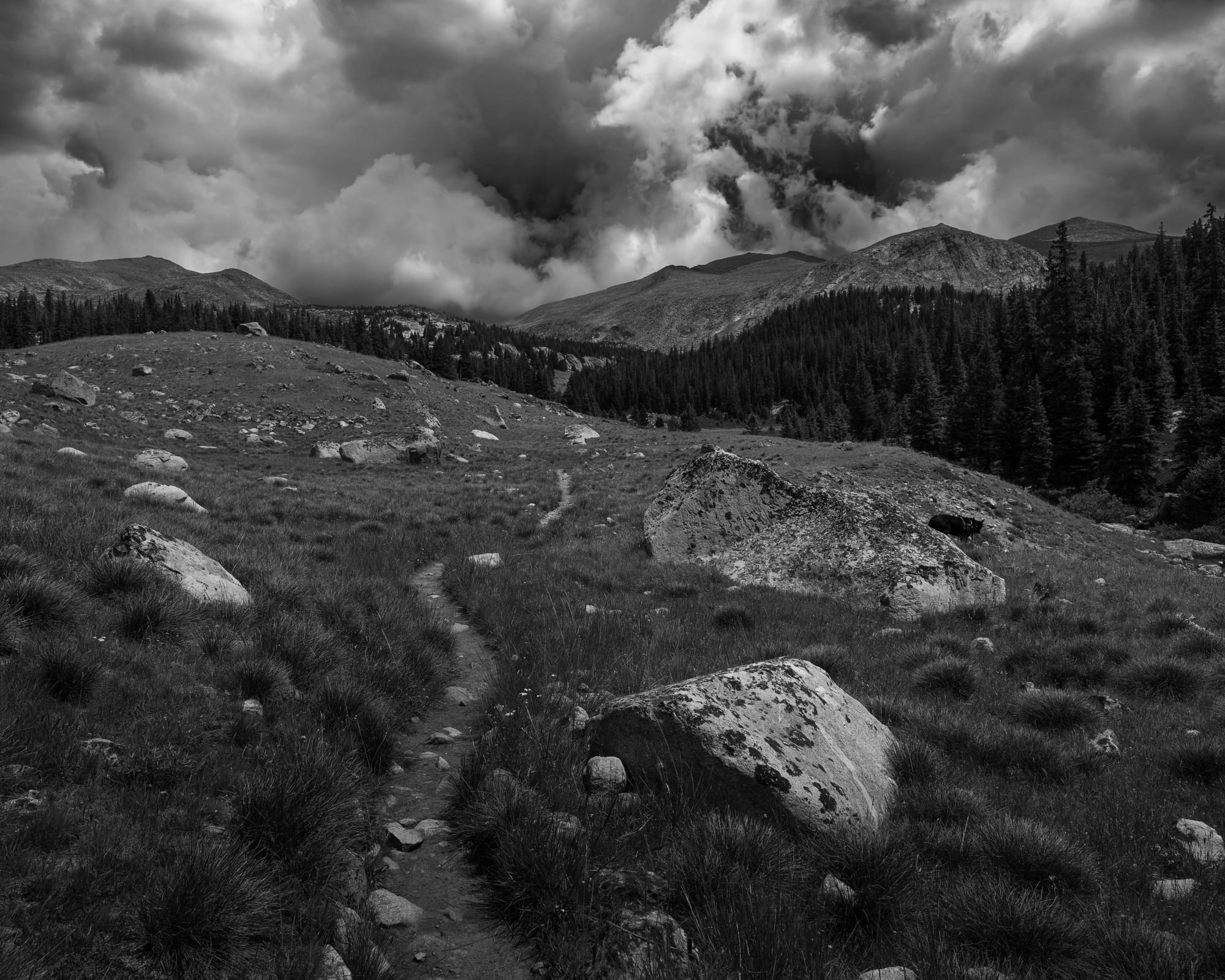
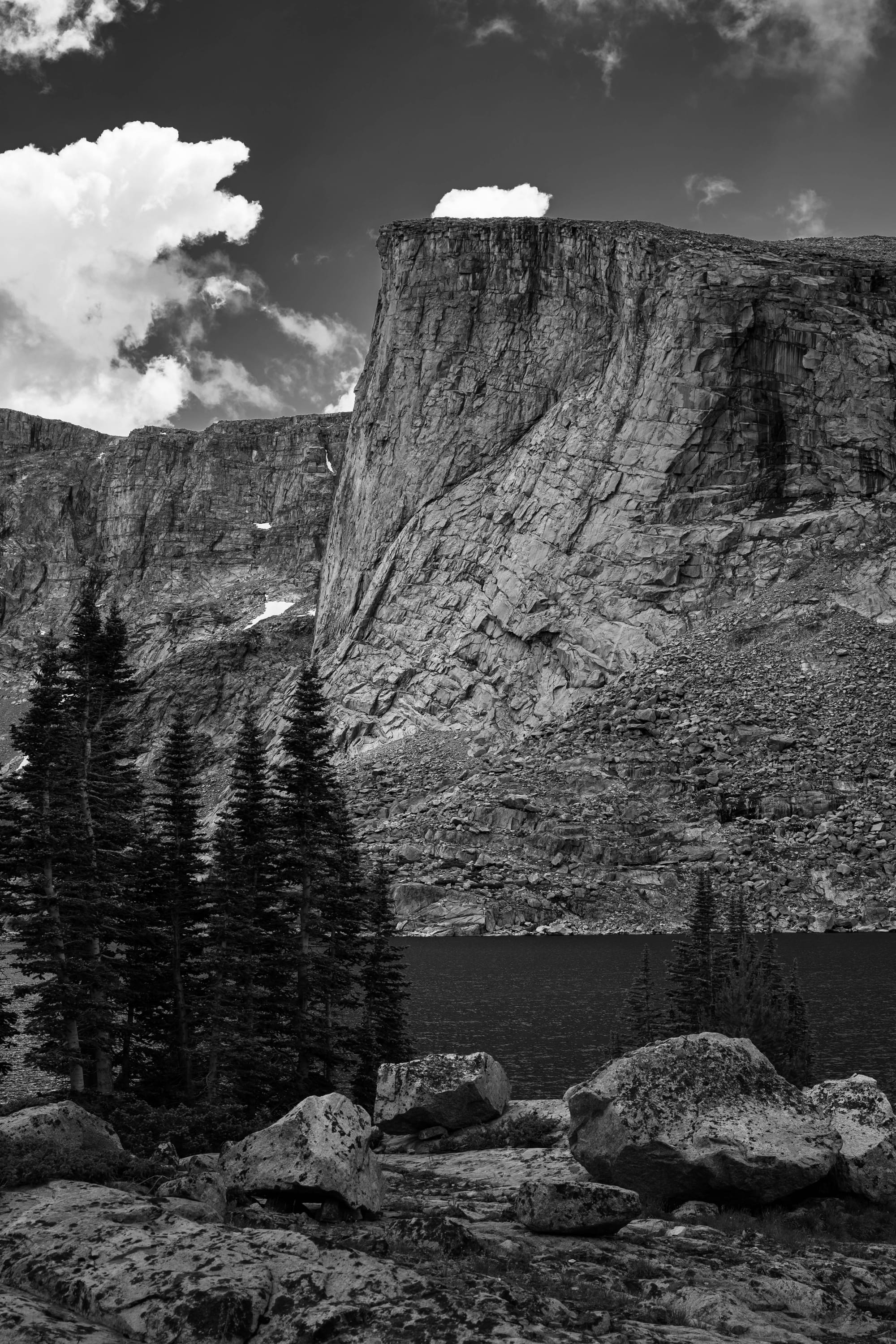
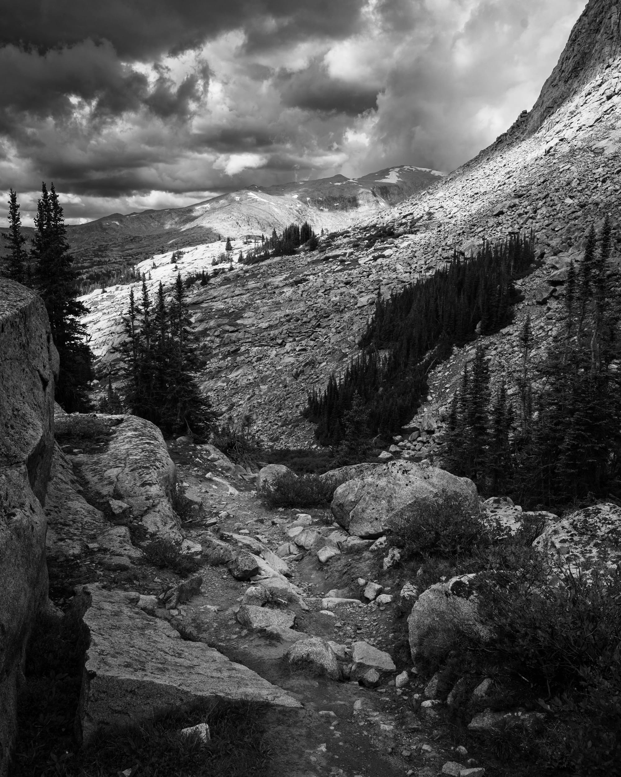
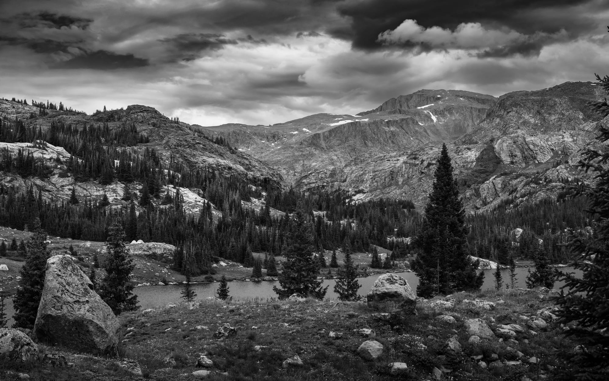
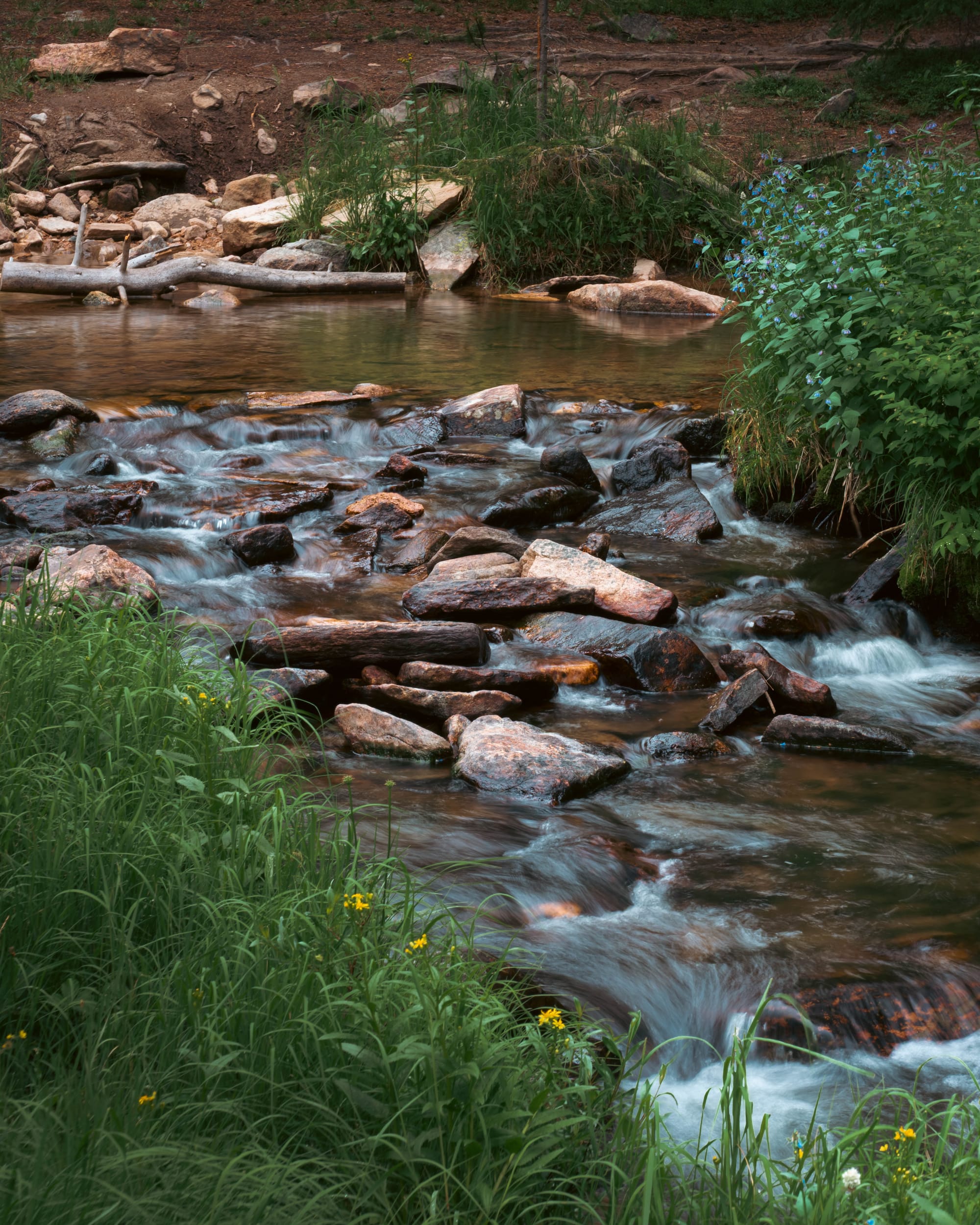
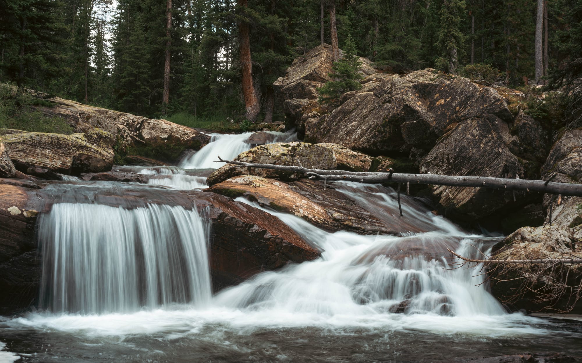
Trails crossed creeks rather than bridging all of them. Rock fields remained rock fields. Backpackers carried everything they needed because the mountains extended far beyond what could be reached during a single day.
The wilderness did not feel empty.
It felt uninterrupted.
That scale is what separates a national forest from most state parks we've visited. A state park may protect an exceptional reservoir, canyon, or stretch of shoreline. Bighorn National Forest contained all of those things at once, with roads and trails continuing well beyond anything we could fit into four nights.
It felt almost like a national park stripped of the gates, crowds, and shuttles.
🚴 On the Ground
- Activities available: ● 🥾 Hiking | ● 🚴 Biking | ● 🐕 Dogs | ● 🚣 Paddling | ● 🎣 Fishing | ● 🐦 Birding | ● 🐎 Horseback riding | ● 📸 Photography | ● 🏕️ Camp-centric | ● 🚗 Scenic driving
- Trail mileage available: 🥾 1,200+ mi. | 🚴 Shared-use routes vary by trail and wilderness boundary | 🚣 Alpine lakes and reservoirs
- Crowd level: Relatively full with frequent turnover · longer trails quiet
Legend: ● = available · ○ = not available
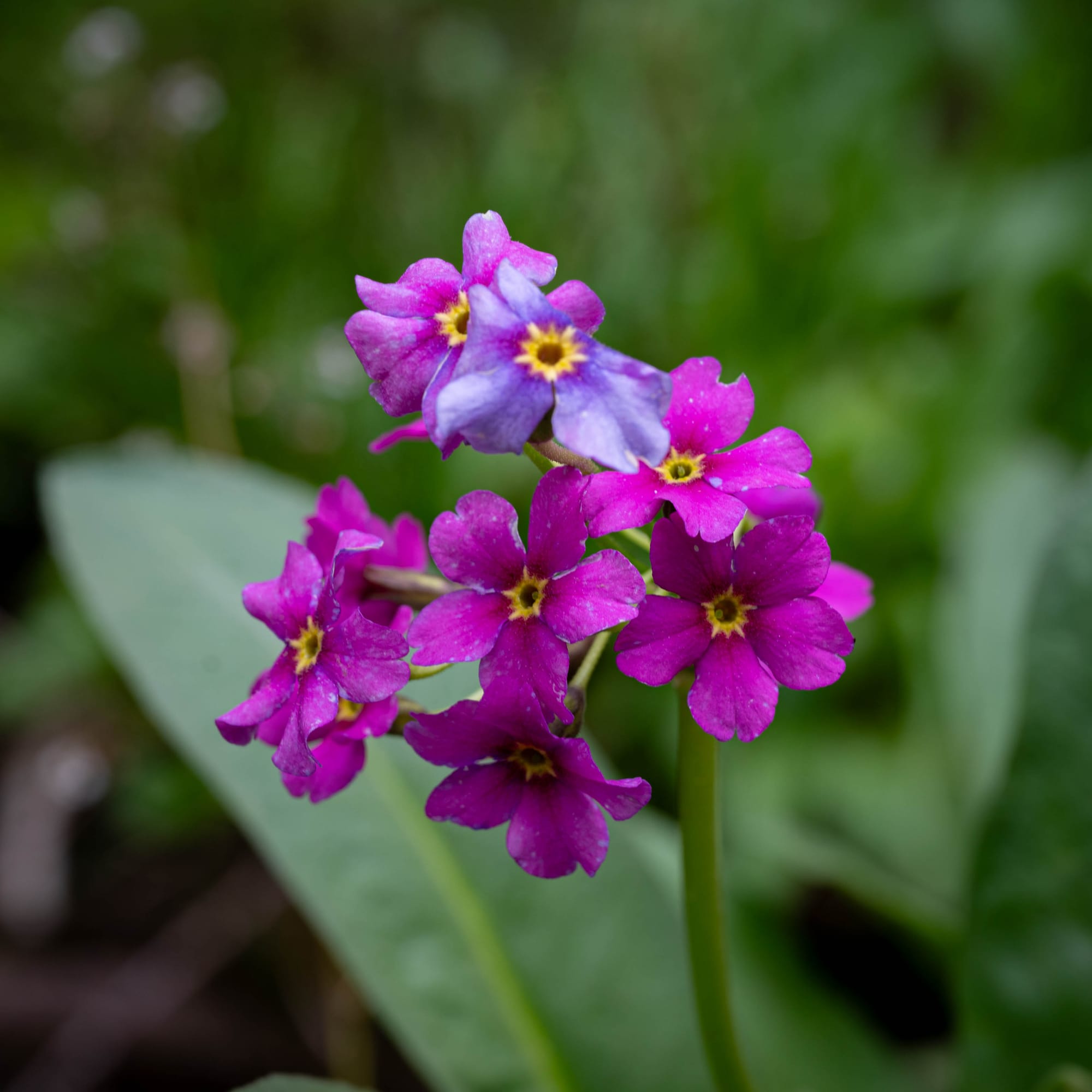
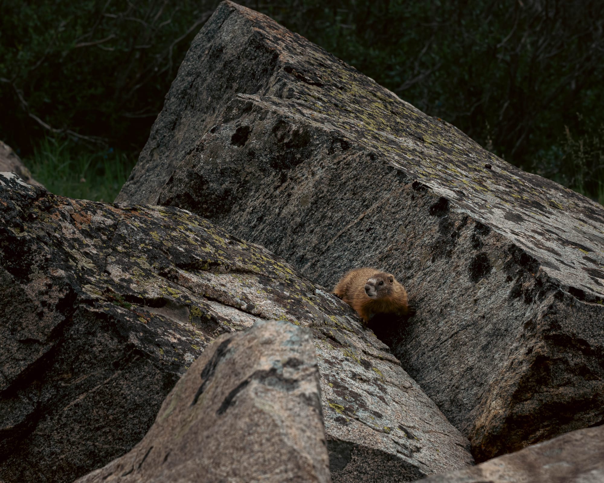
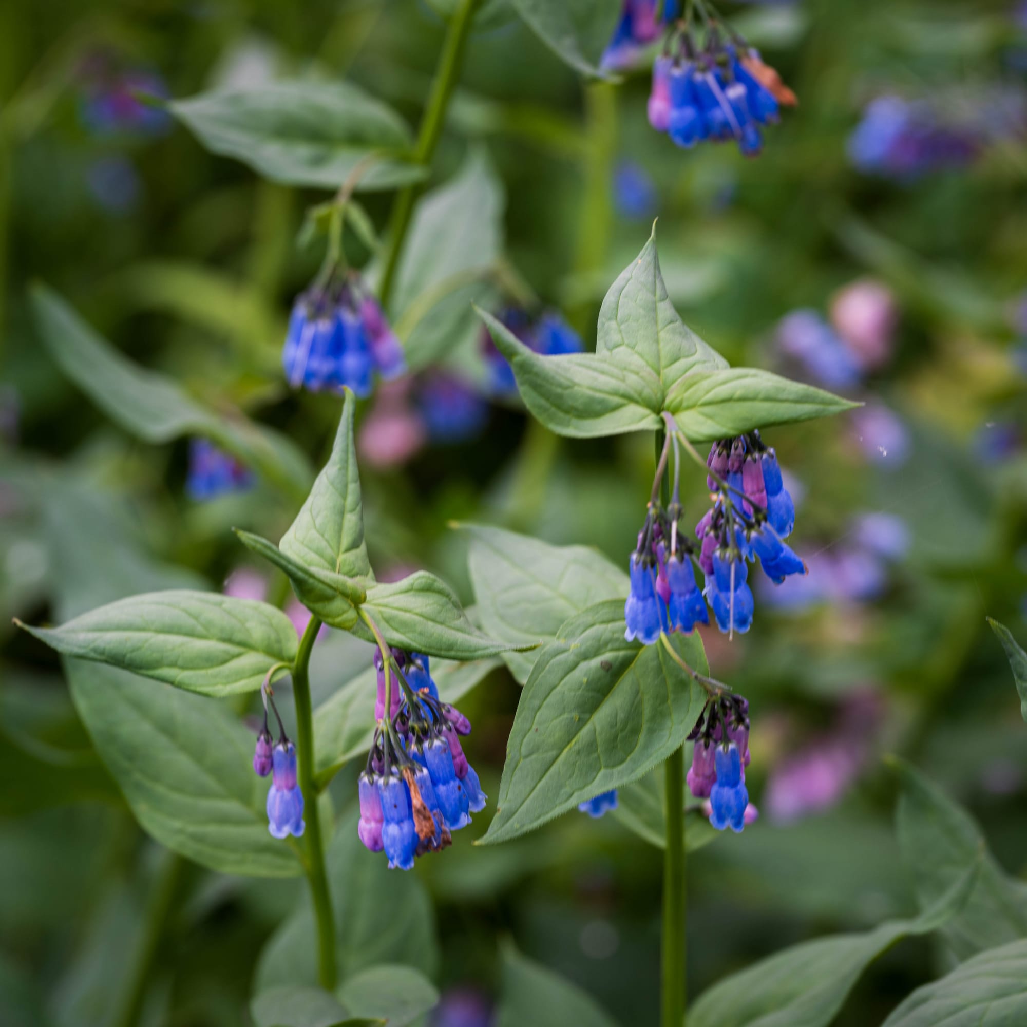
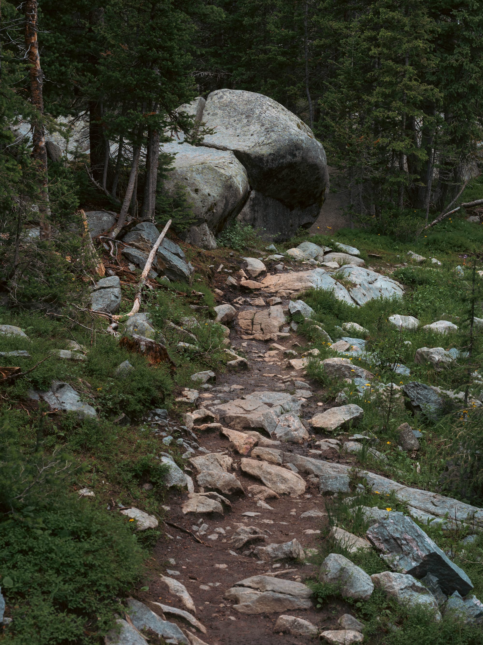
Exploring the Bighorns
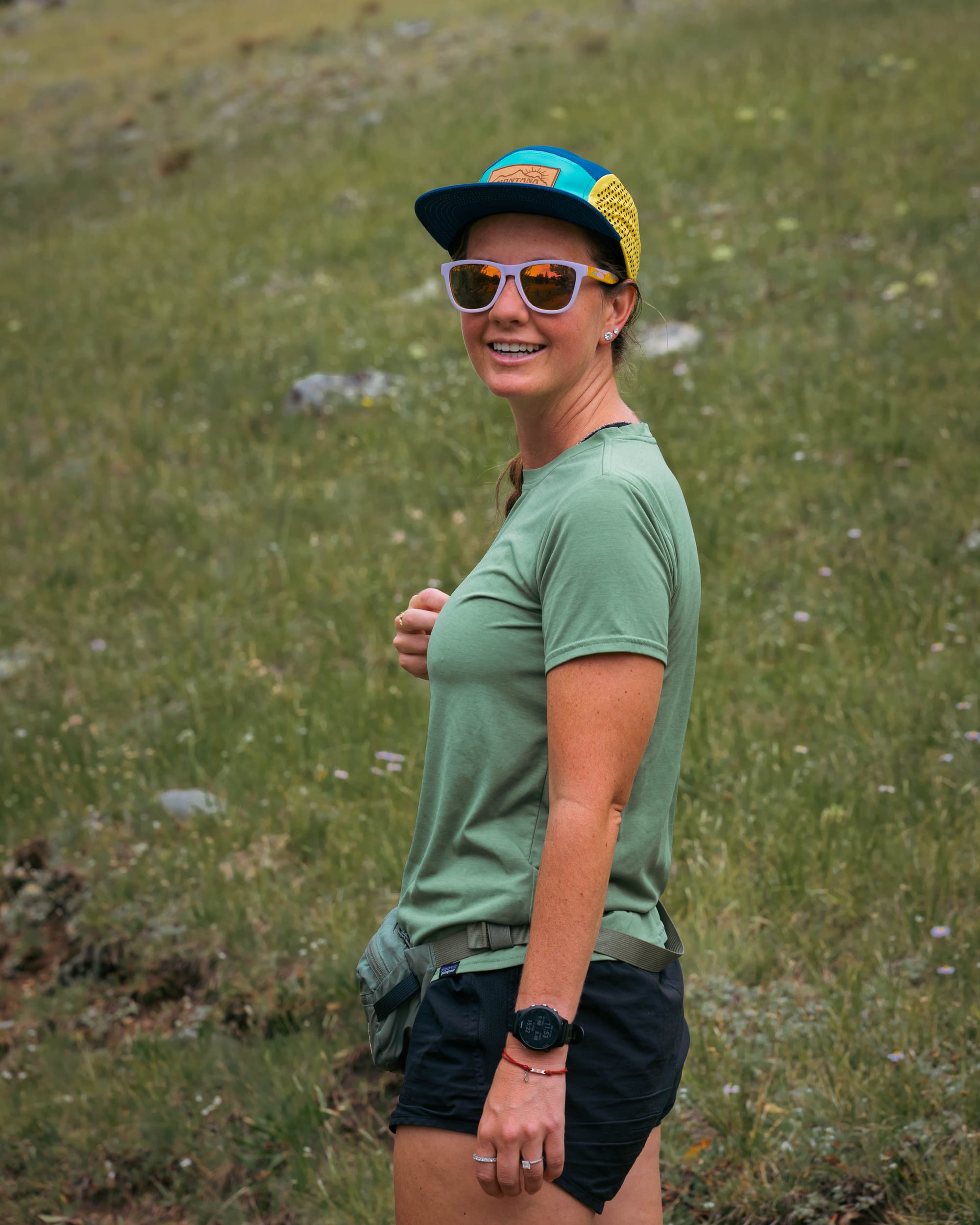
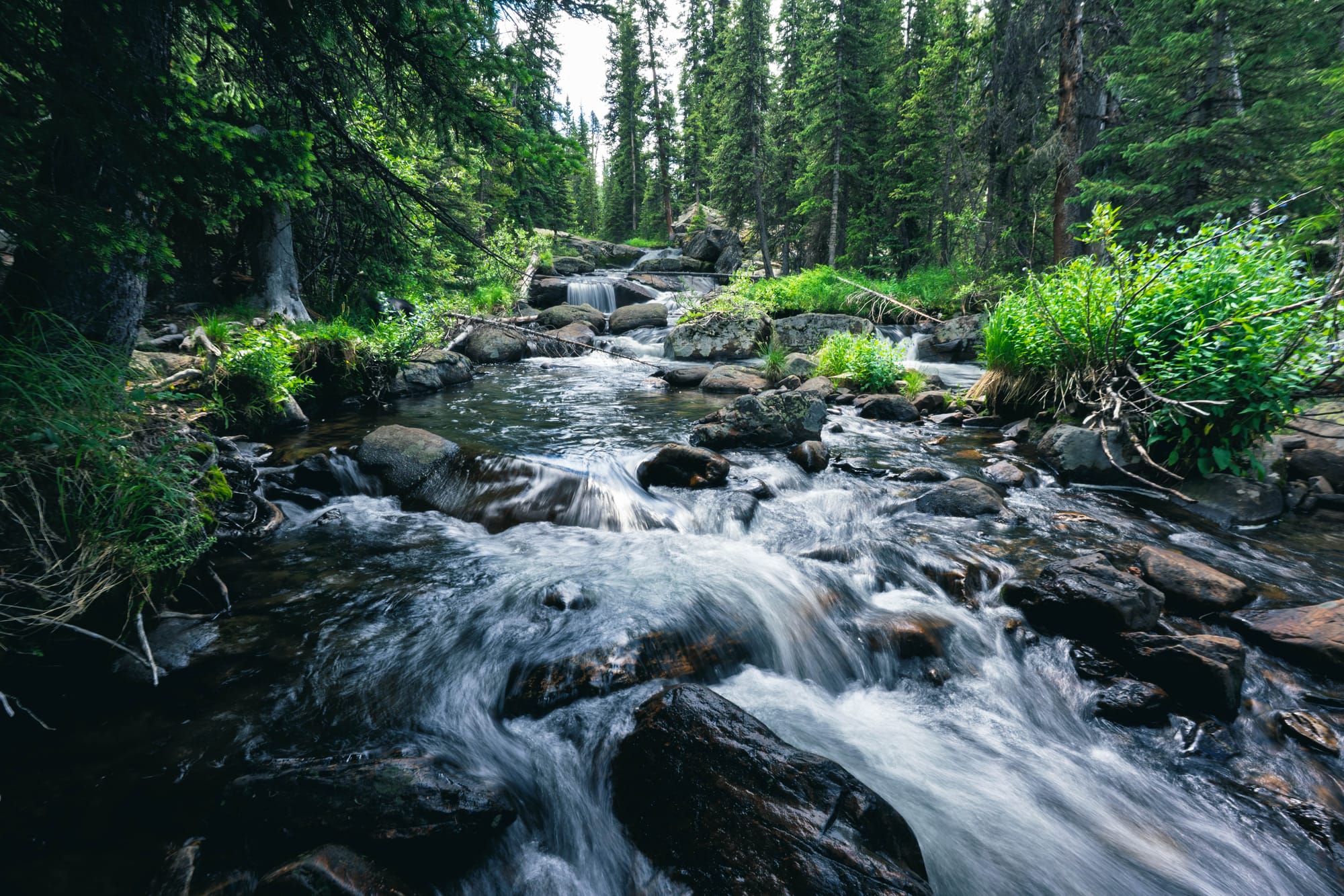
I hiked three routes during our stay, covering nearly forty miles through three different sections of the forest.
None of them felt repetitive.
East Tensleep, McLain, and Maybelle Lakes
The first route was one I assembled from the map.
I connected East Tensleep Lake, McLain Lake, and Maybelle Lake into an eleven-mile loop with roughly 3,000 feet of climbing. Both dogs joined me.
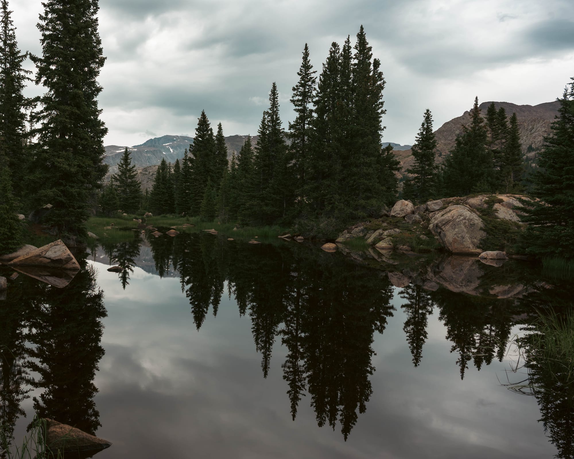
The trail moved through forest and lake country without building toward one dominant destination. Each junction offered another way deeper into the range.
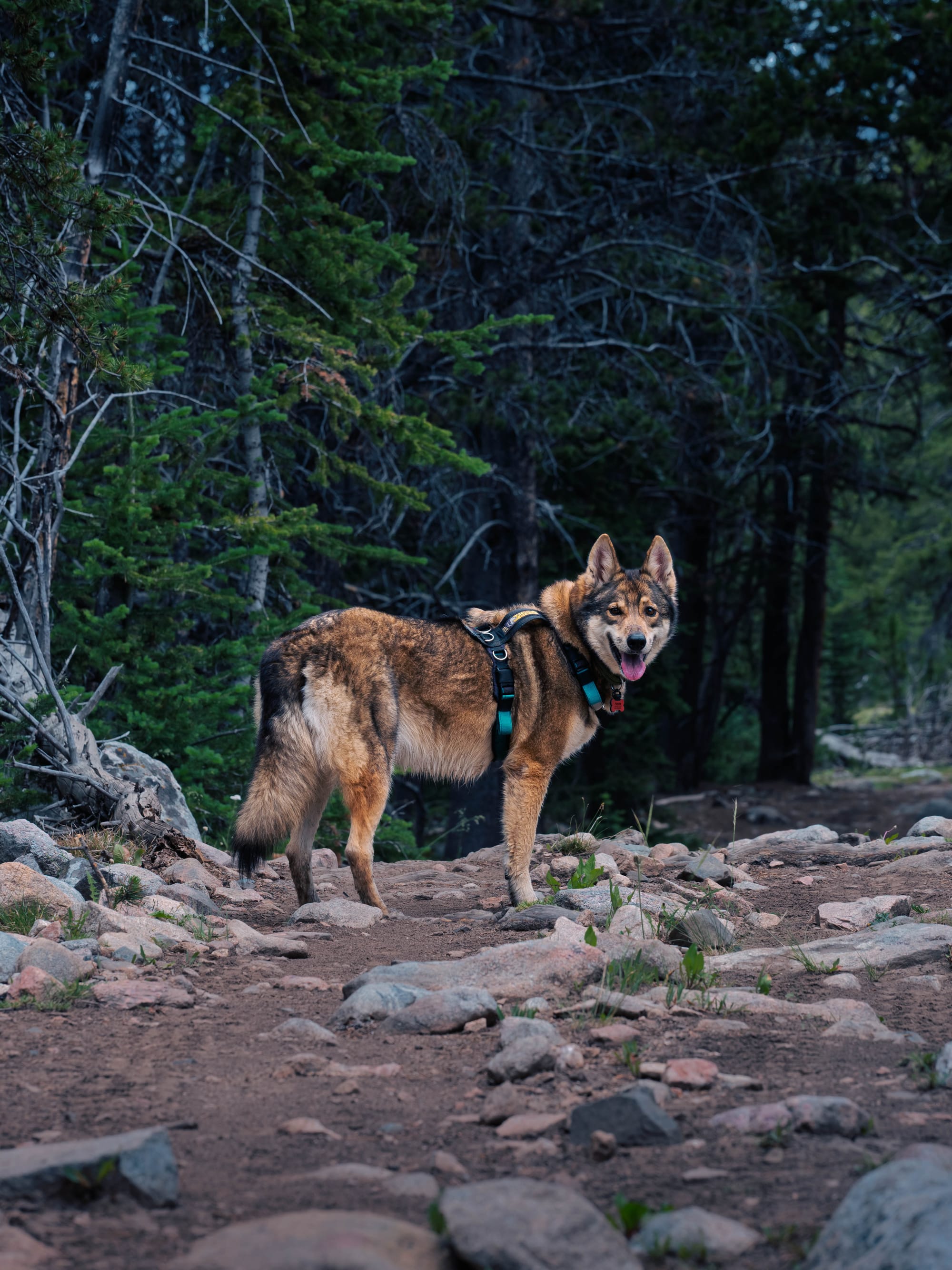
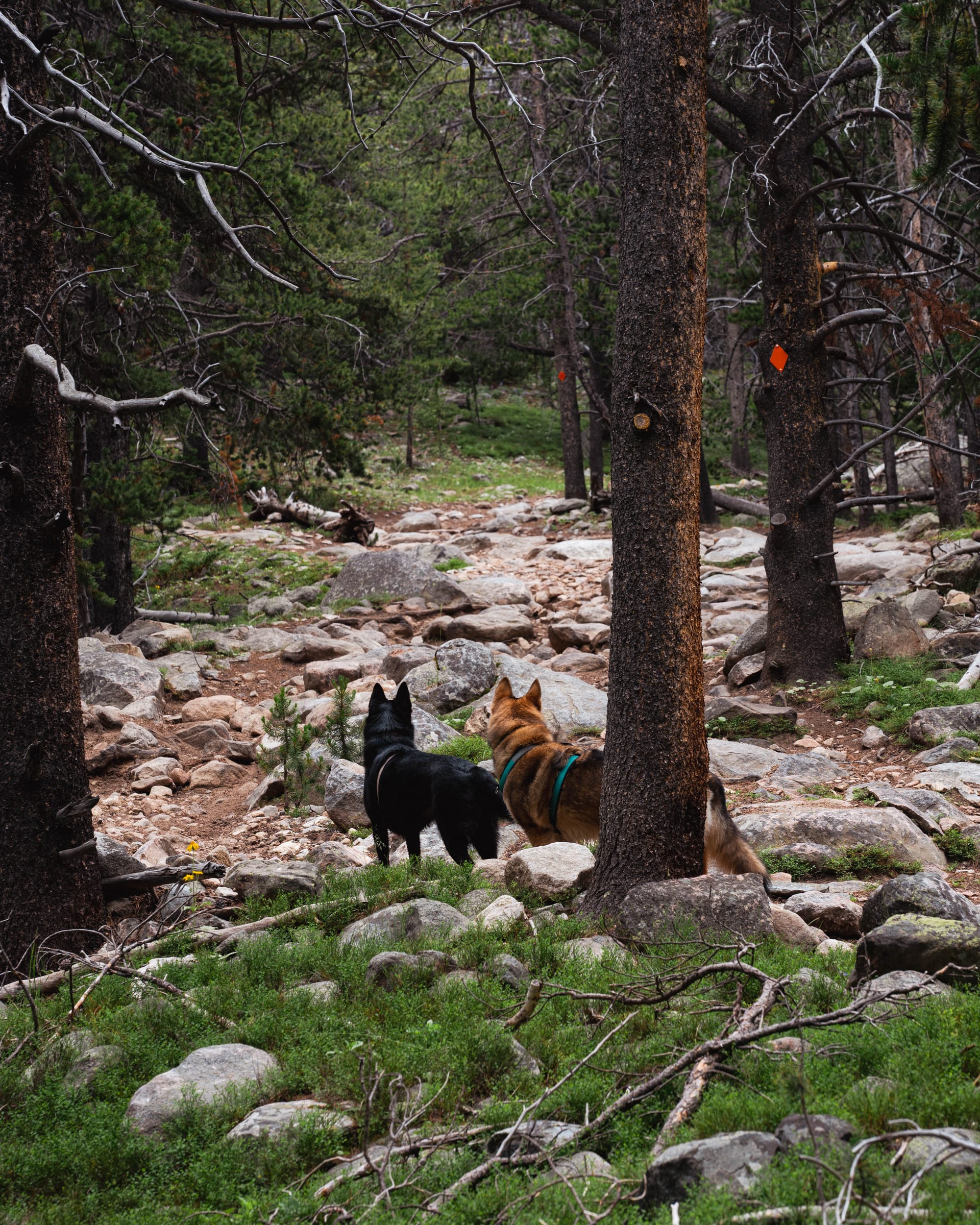
At one point, six horses approached us on the trail. Both dogs stopped, watched, and let them pass without barking or chasing.
That may have been the most encouraging part of the day. It was a small sign that they were learning how to move through unfamiliar situations without treating every new animal as an event.
The lakes were beautiful, but the larger appeal was the freedom to connect trails and let the route take shape as we went.
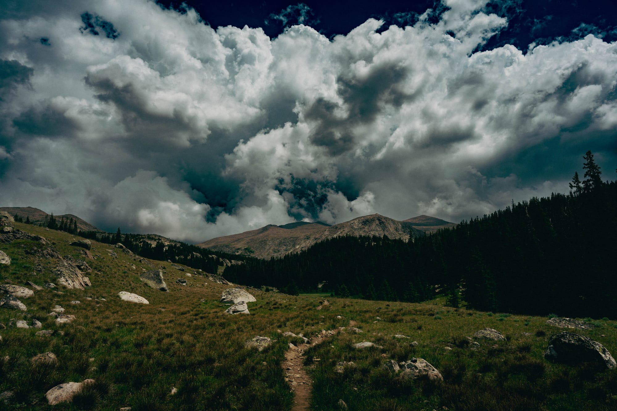
Lost Twin Lakes
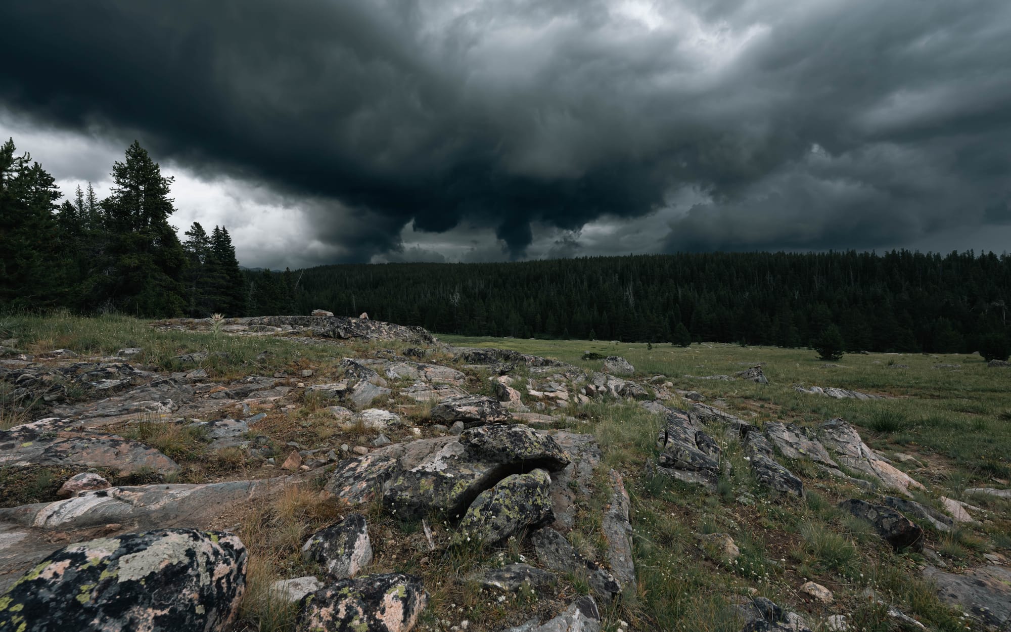
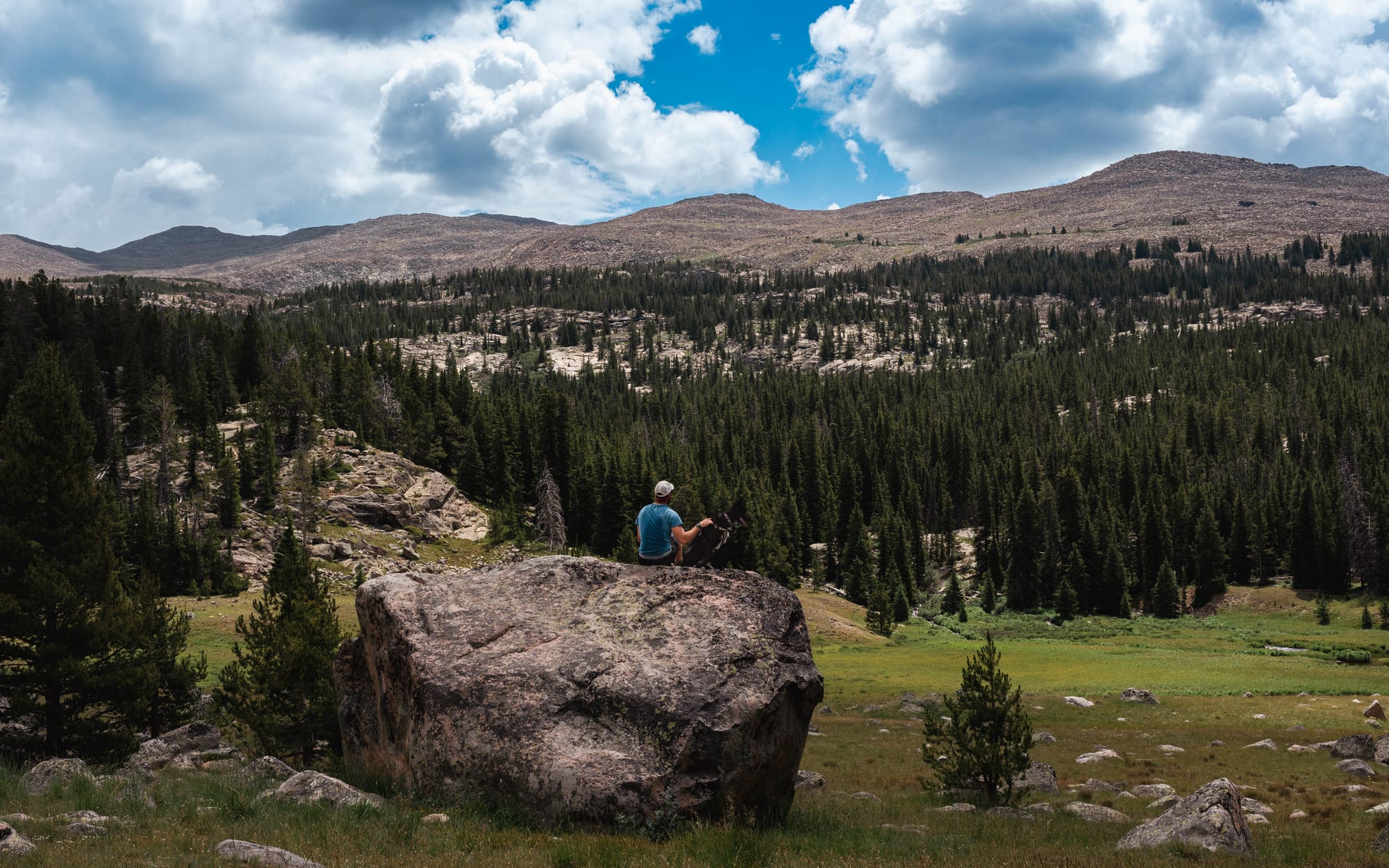
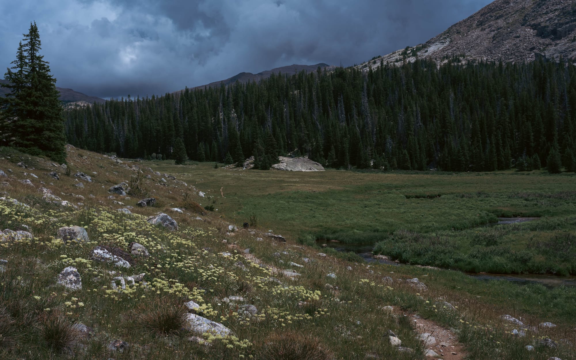
Lost Twin Lakes was my favorite hike of the stay.
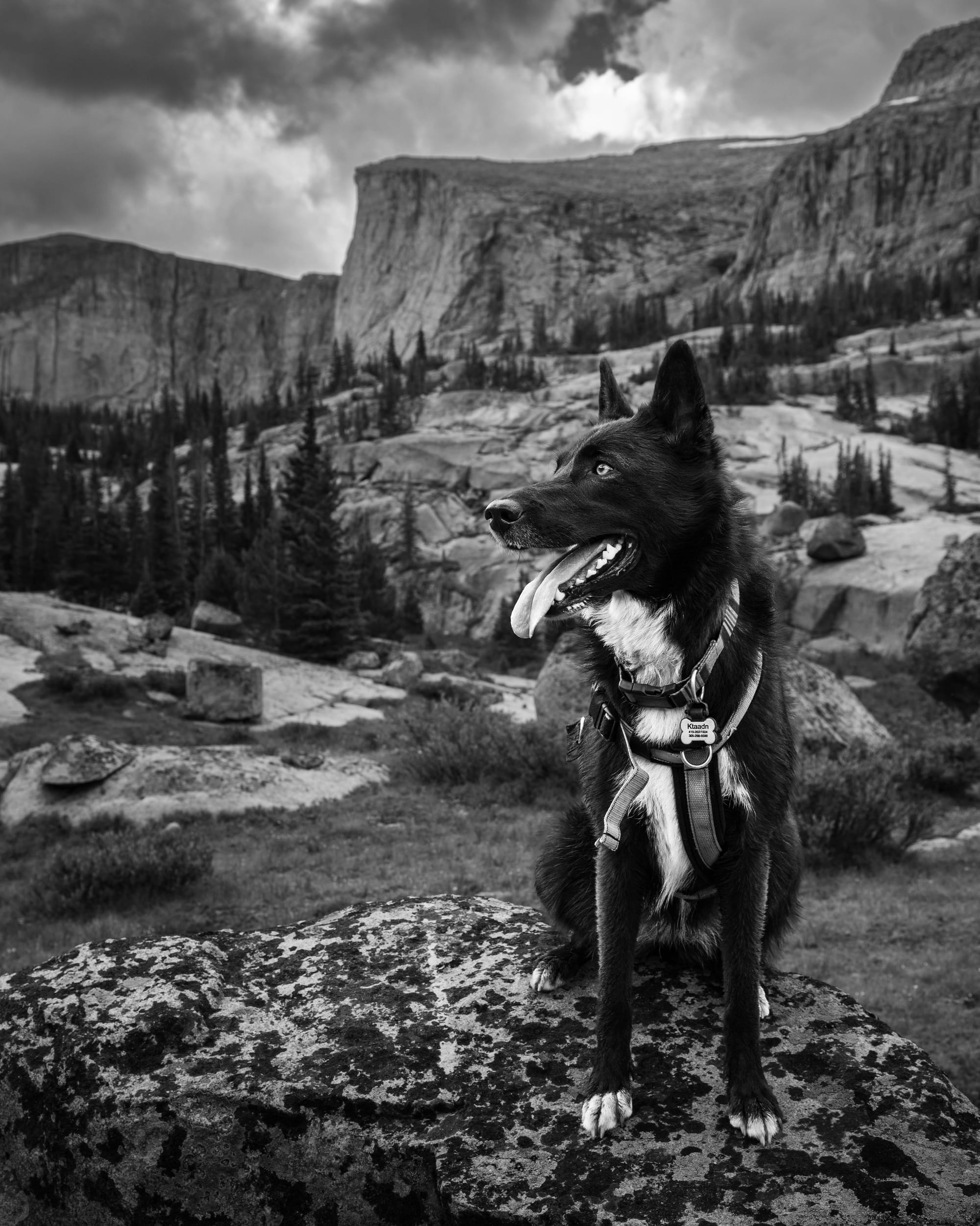
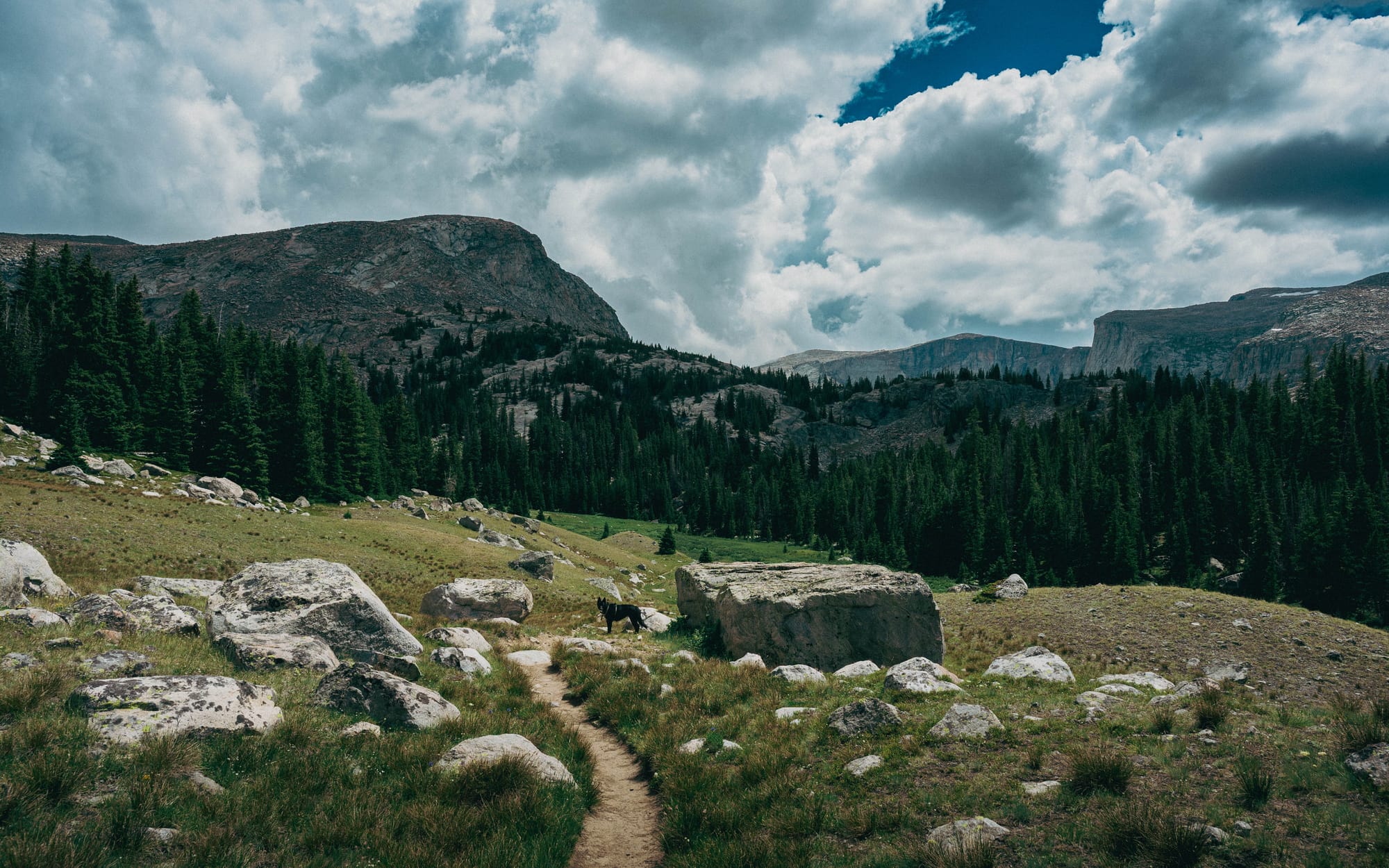
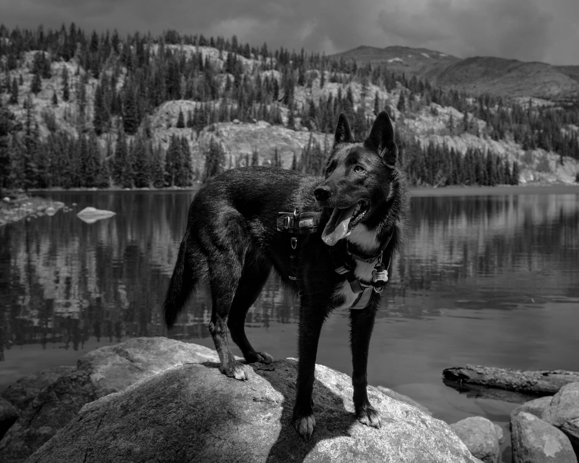
Ktaadn joined me for twelve miles and roughly 2,500 feet of gain. She probably covered another half-dozen miles through her own side trips, checking every creek, tracking marmots through the rocks, and running across patches of snow.
The landscape kept changing throughout the hike.
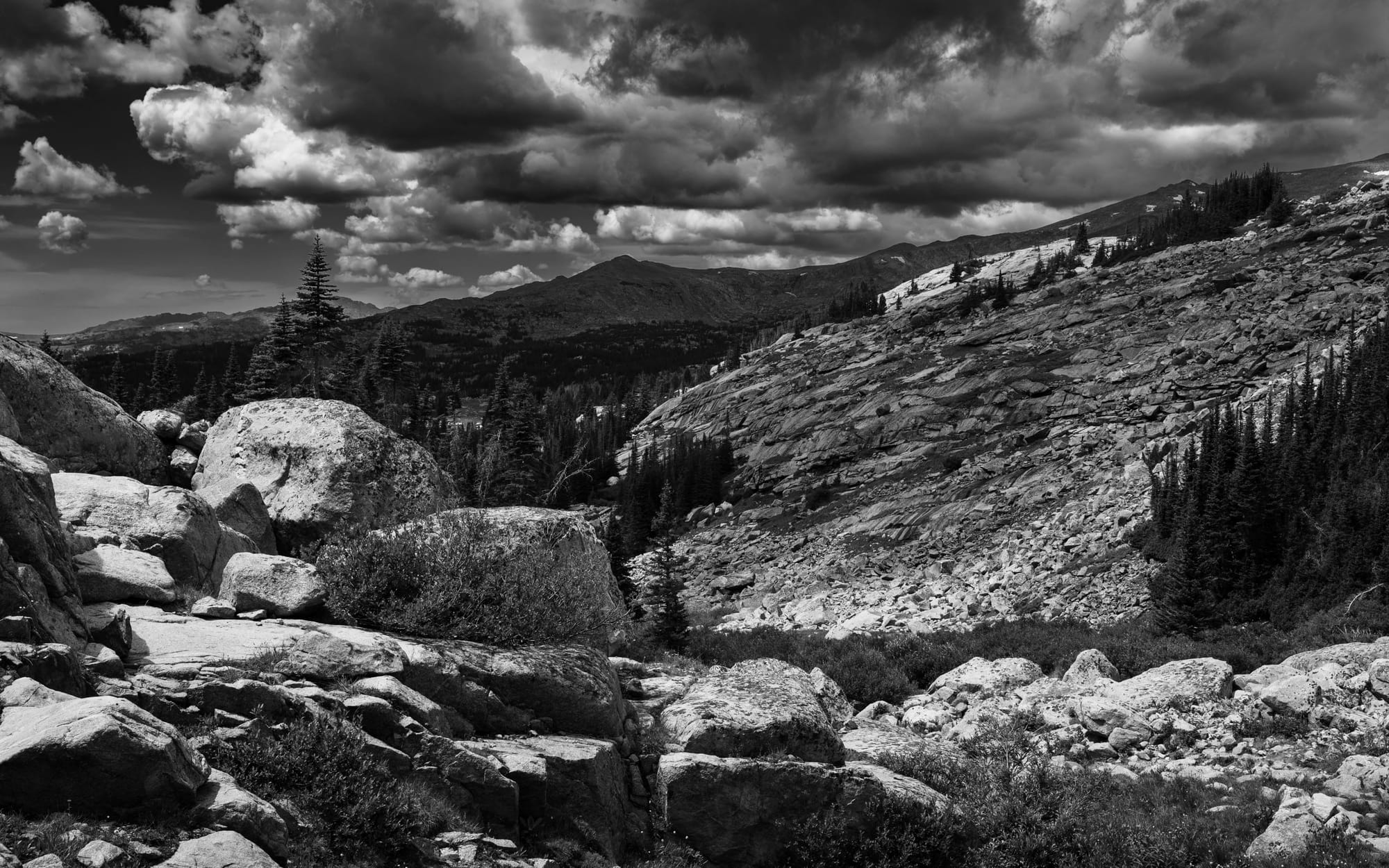
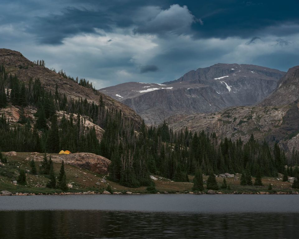
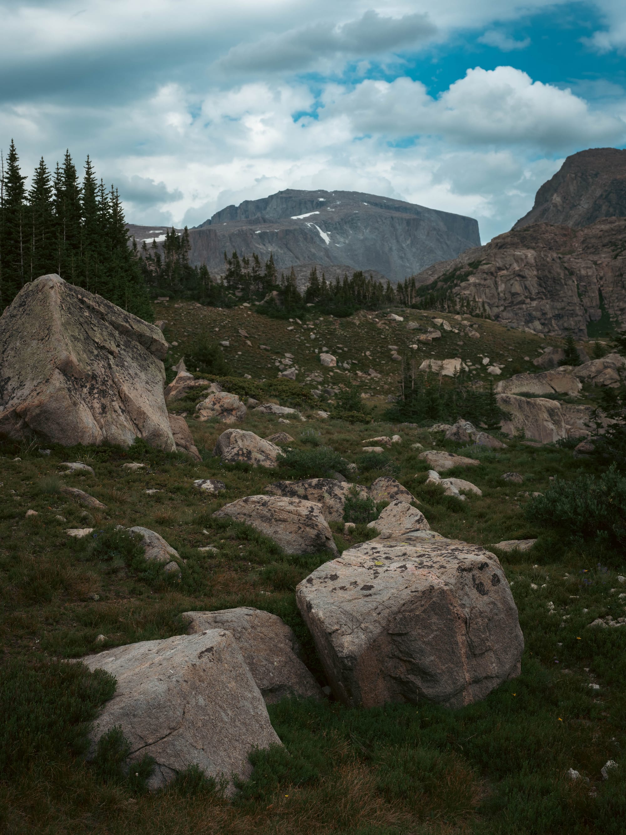
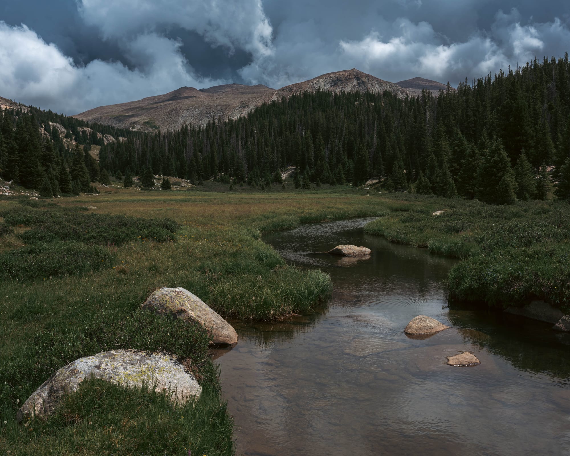
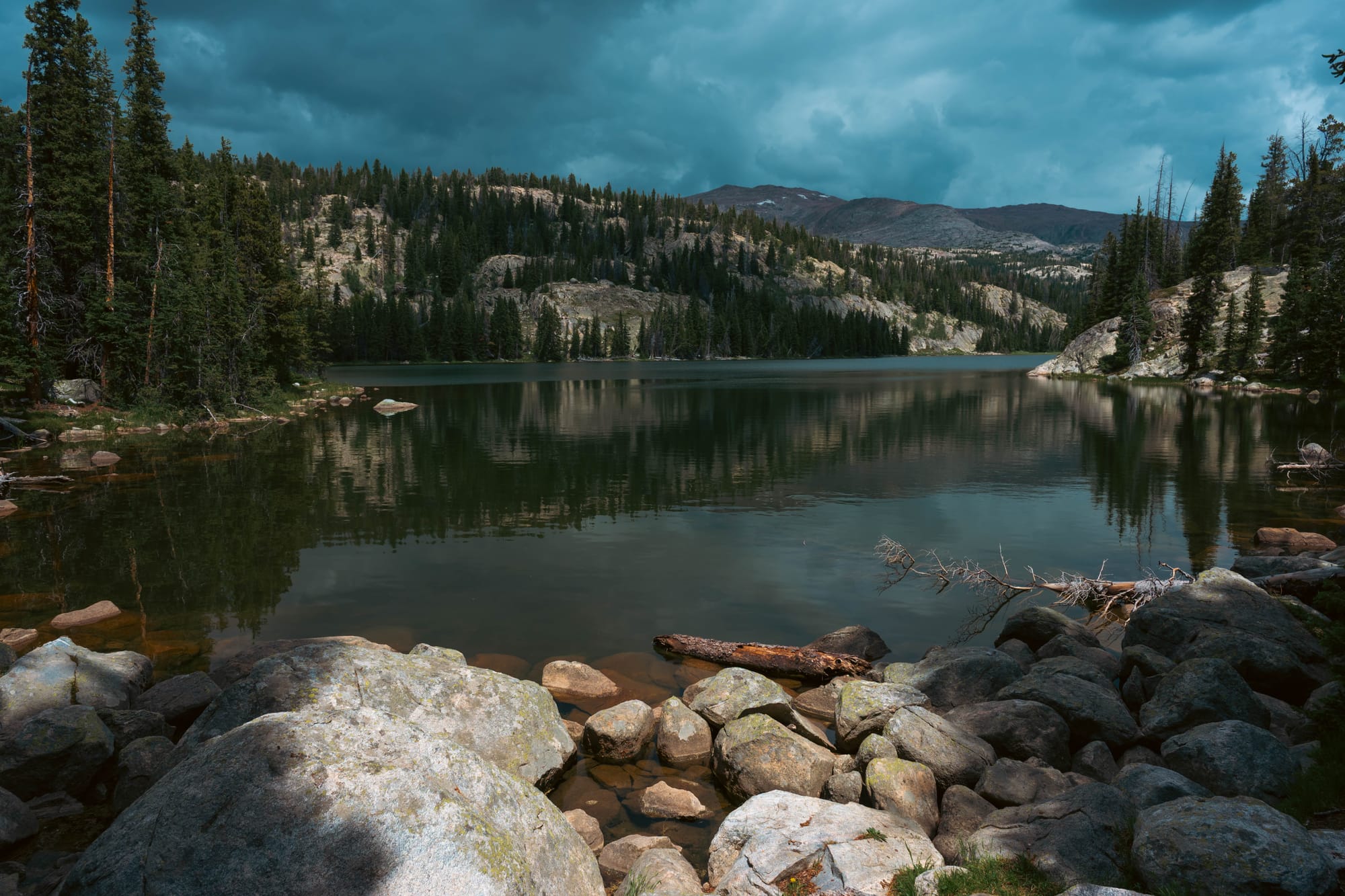
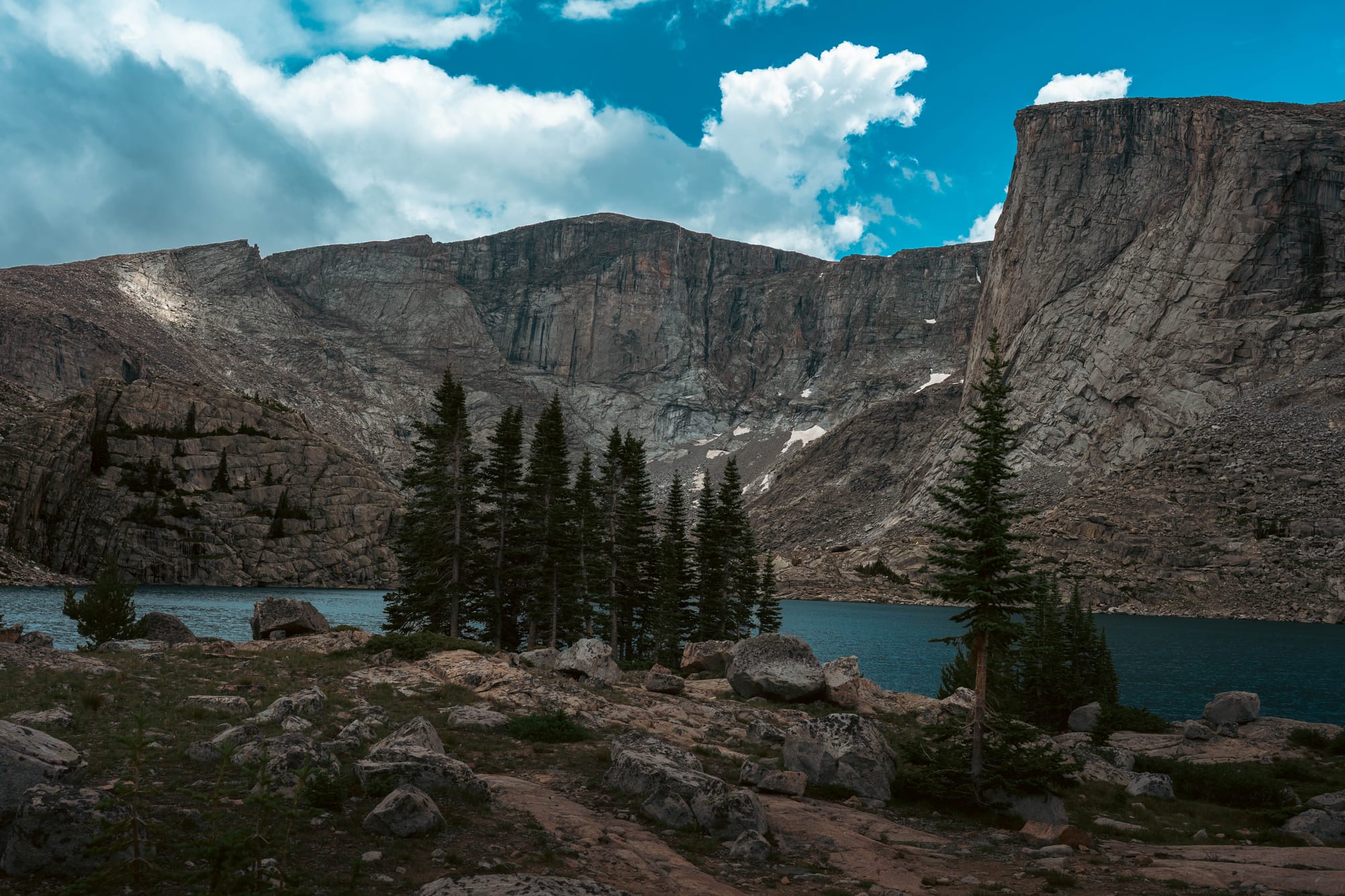
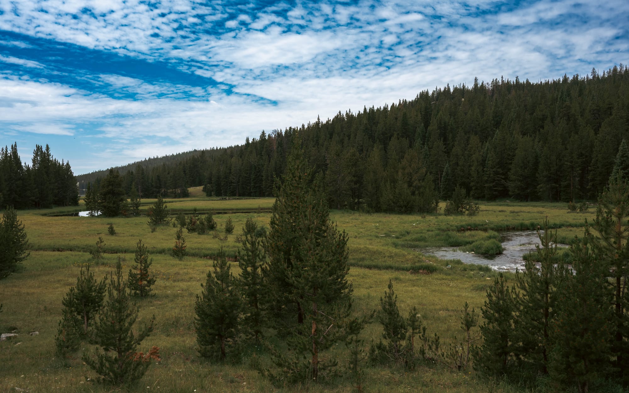
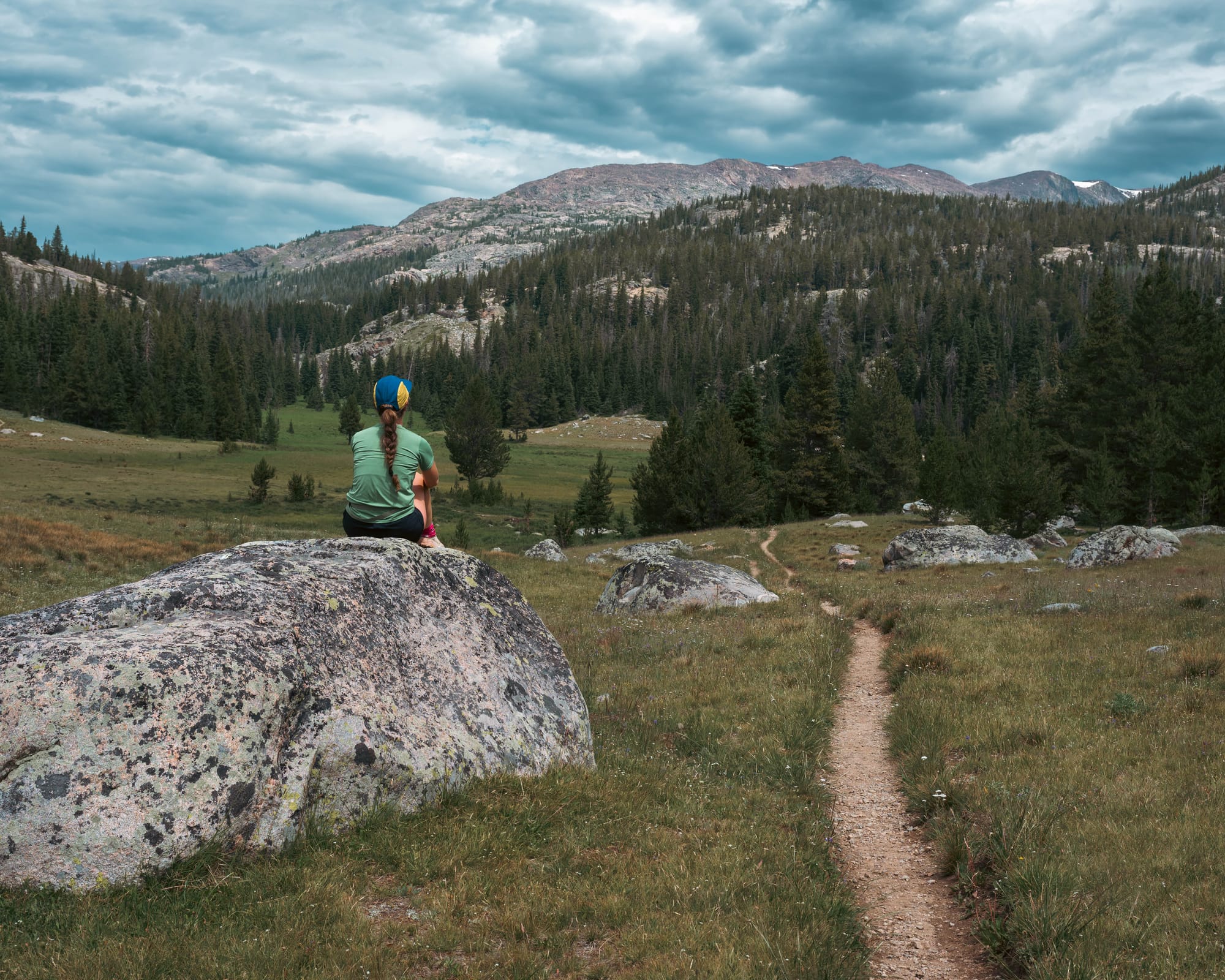
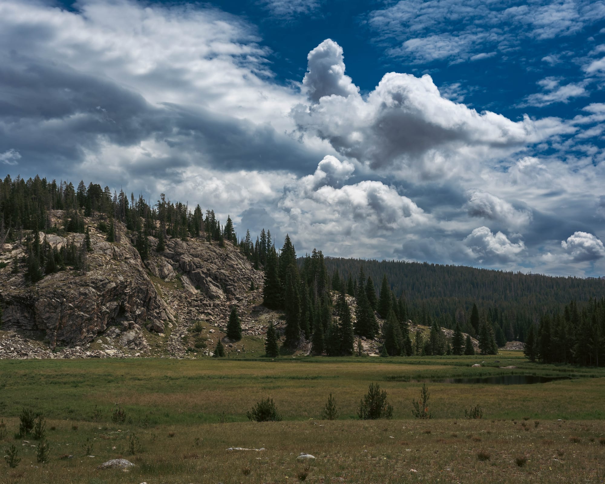
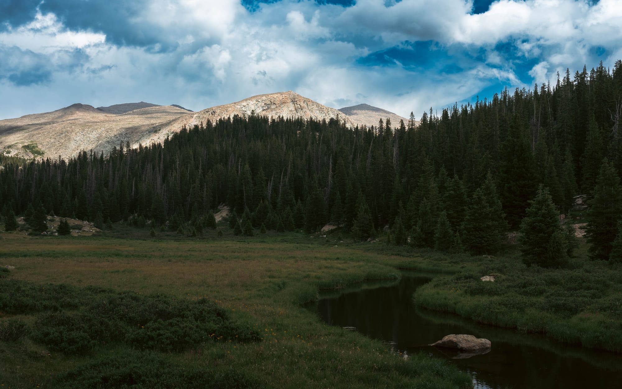
Forest opened into meadow. The trail crossed creeks, rock fields, and open valleys before the mountains finally closed around both lakes.
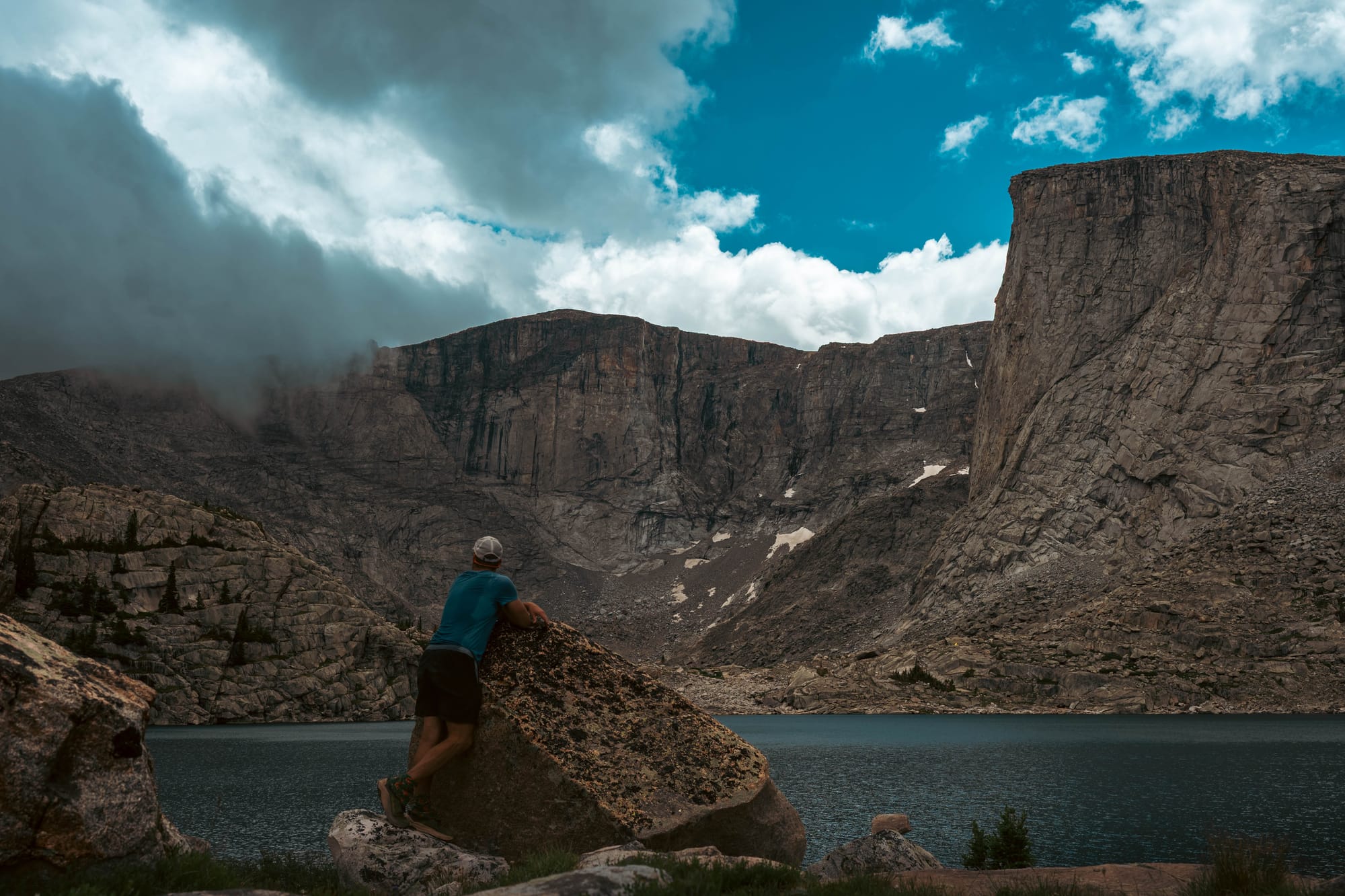
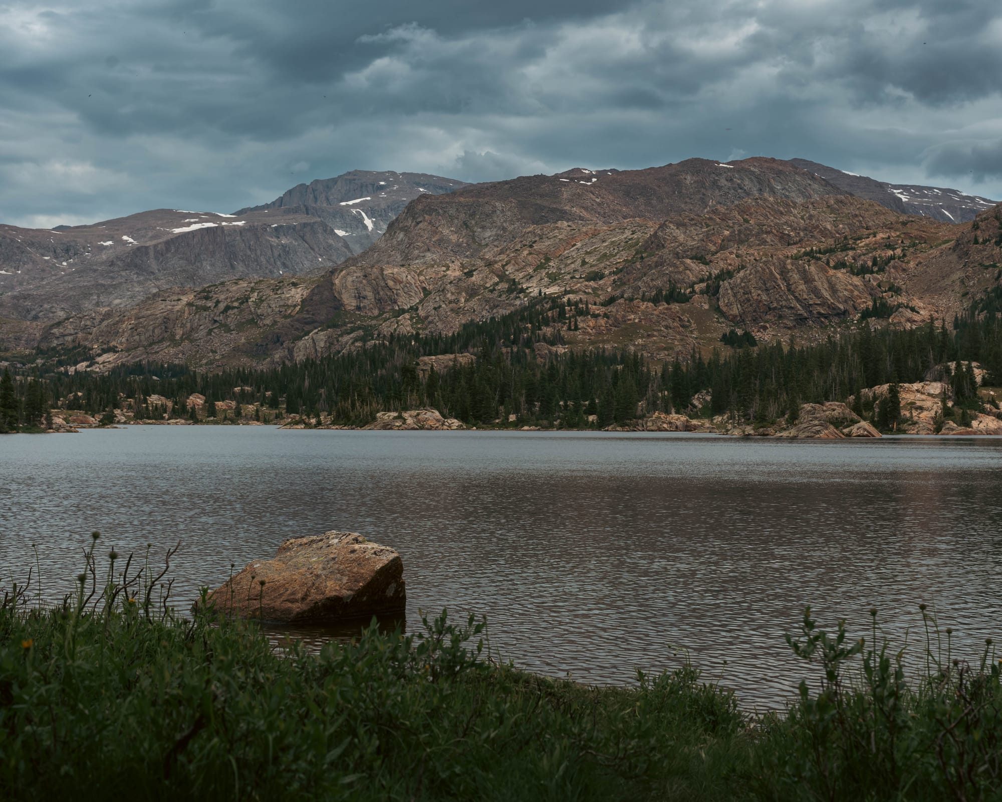
Cliffs rose above the water, with snow still holding to the upper slopes.
Wyoming had already spent weeks feeling slightly unreal. Lost Twin Lakes pushed that even further.
It became one of my favorite hikes before we finished the return trip. The final basin was stunning, but the constant change along the way is what made the trail stand out.
Ktaadn moved through all of it as though the route had been made just for her.
Mistymoon Lake and Cloud Peak Country
Sam joined me for the final hike, while the dogs took a well-earned day off.
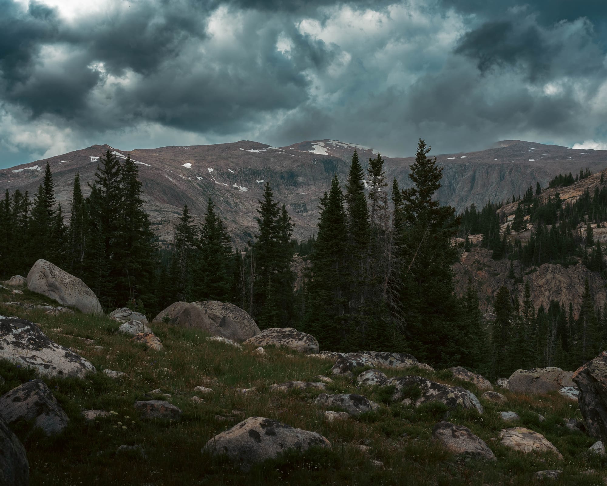
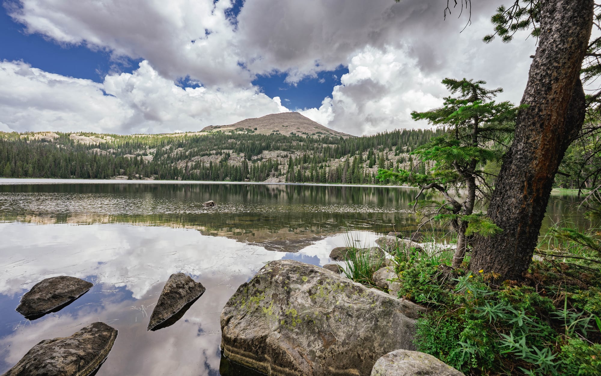
The route covered fourteen and a half miles with roughly 2,100 feet of gain, passing Lake Helen and Marion Lake before reaching Mistymoon Lake.
The West Tensleep trailhead was busier than the others, but busy remained relative. We saw fewer than twenty people all day, and most were carrying overnight packs deeper into Cloud Peak Wilderness.
Our long day was only the beginning of theirs.
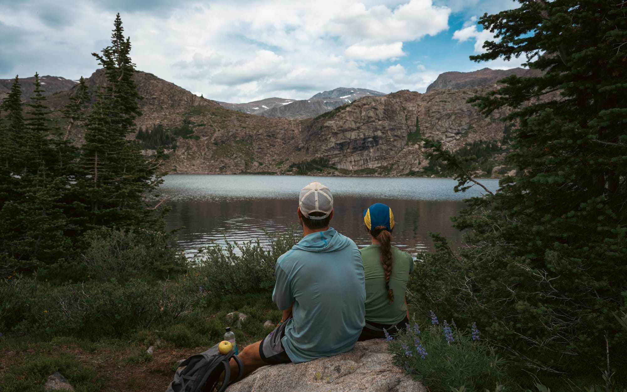
Mistymoon Lake opened beneath the broader basin leading toward Cloud Peak. We walked far enough around the lake for a clear view to the summit, then turned back.
On the return, the creek crossing that had required attention in the morning became a place to stand in cold water and cool our feet.
Even from one of the forest’s busiest trailheads, the people disappeared quickly.
That may have been the most surprising part of Bighorn National Forest. The access was easy. The scenery was immediate. Yet the people thinned almost as soon as the trail left the parking lot.
⚡ TL;DR
- Park highlight: Wilderness-scale hiking through alpine lakes, open meadows, granite basins, and glacier-carved valleys with remarkably few people
- Best for: Long day hikes, backpacking, scenic drives, fishing, horseback travel, and self-supported stays deep in the mountains
- Skip if: You need hookups, dislike bugs, or want developed attractions and services close to camp
- Worth planning around?: Yes
Final Takeaways
Bighorn National Forest deepened something that had started at Custer Gallatin.
We were learning what national-forest travel could look like when the campground became a base rather than the destination.
Boulder Park gave us access. The real stay unfolded across lakes, trails, and wilderness beyond it.
Even on the busiest hike, the trail never felt crowded. Most people we met were carrying overnight packs on routes measured in days rather than hours.
Part of me hesitates to describe places like this too enthusiastically. Their beauty is tied to the quiet, the lack of crowds, and the sense that the landscape has not been reshaped around constant visitation. They feel like some of the best-kept secrets in the West, but secrets change once enough people repeat them.
However, public land also depends on people understanding what is there and why it matters.
This was the middle stretch across three national forests without hookups. The batteries and solar made it possible, but the technology was never the point.
The point was waking inside the forest, hiking directly into the mountains, and returning to the Airstream without needing to reorganize the trip around civilization.
By the time we left Bighorn, we were no longer wondering whether this style of travel worked for us.
We knew there would be more national forest camping in the future.