Custer Gallatin National Forest
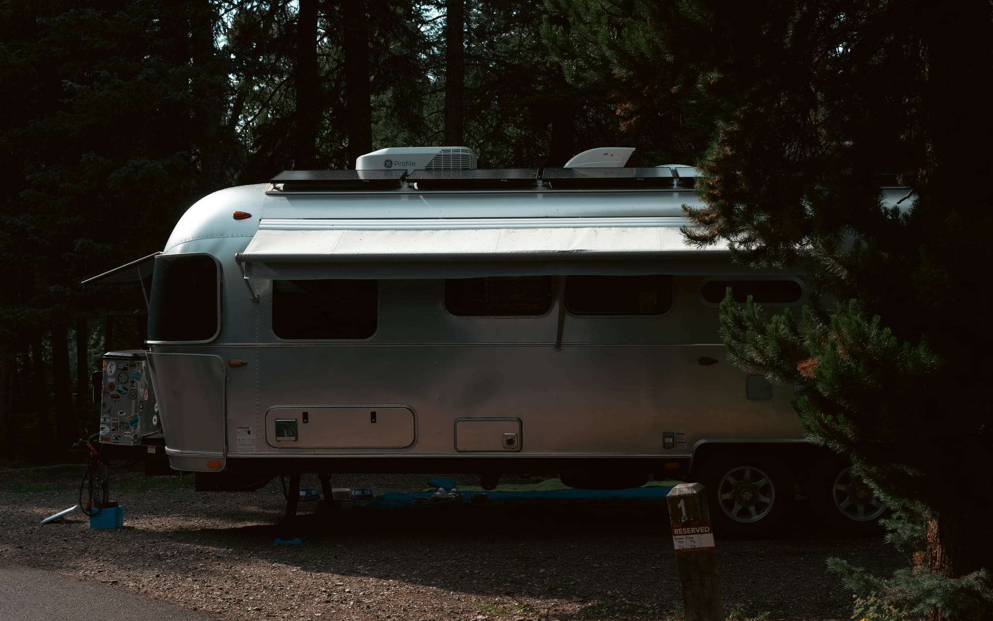
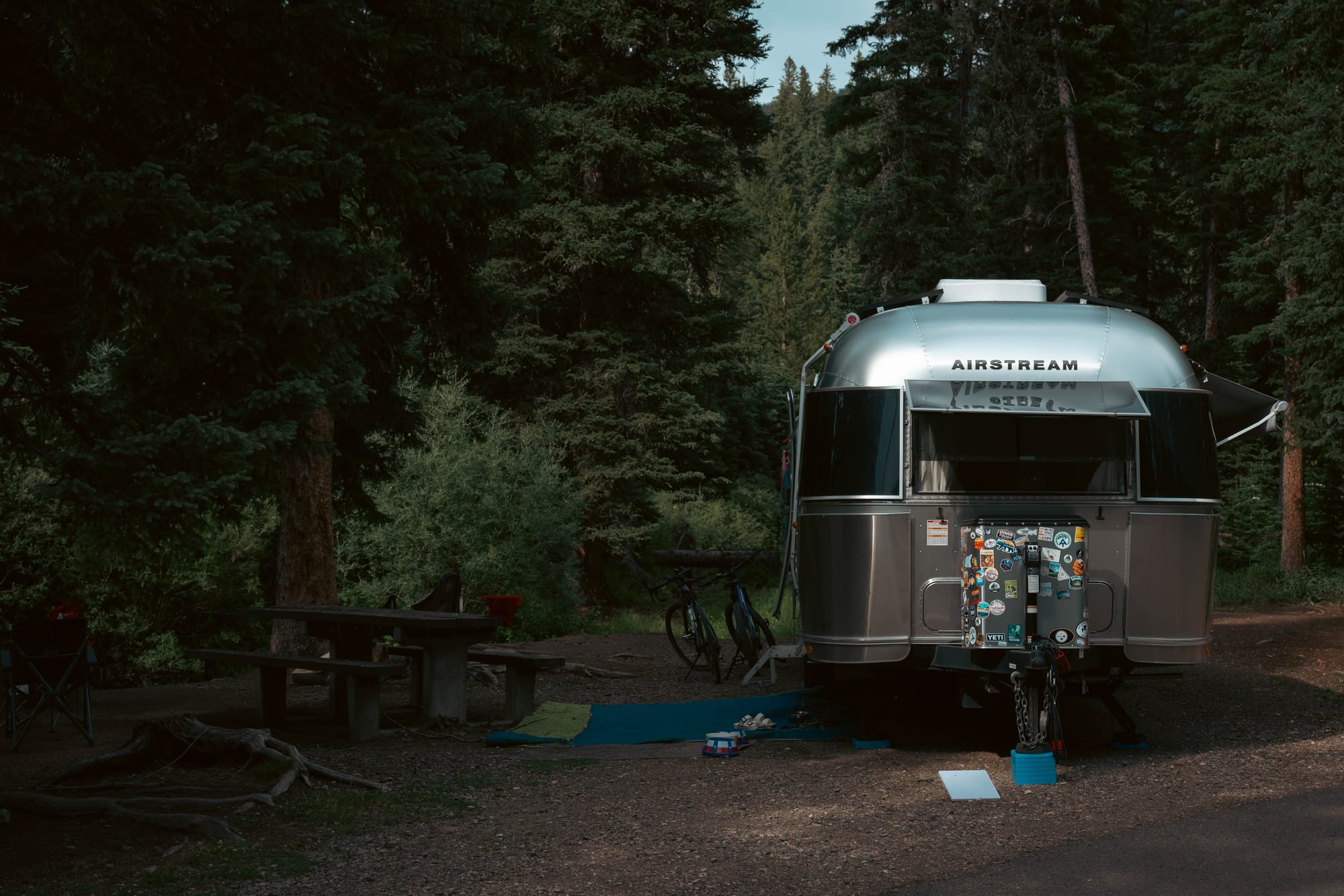
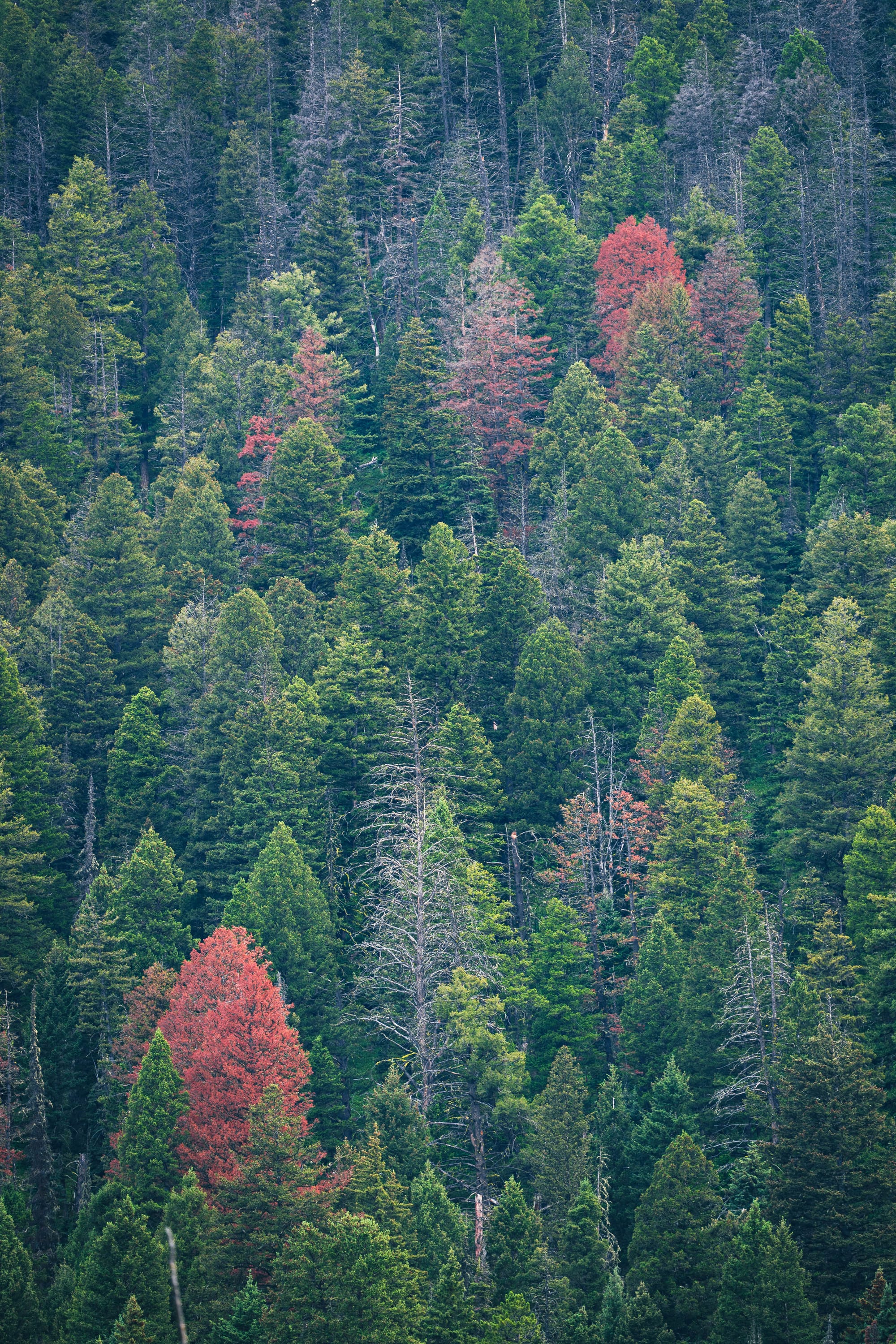
Custer Gallatin National Forest gave us one of the best campsites to date.
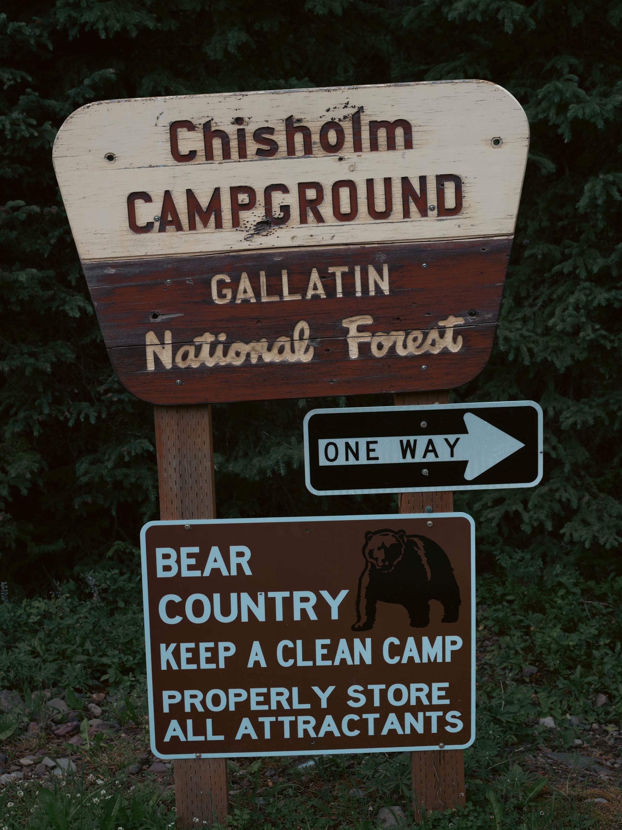
Chisholm Campground sits deep in Hyalite Canyon, close enough to Bozeman to draw heavy weekend traffic but far enough into the forest to feel removed once the crowds leave.
We arrived on a Sunday afternoon.
The canyon was packed.
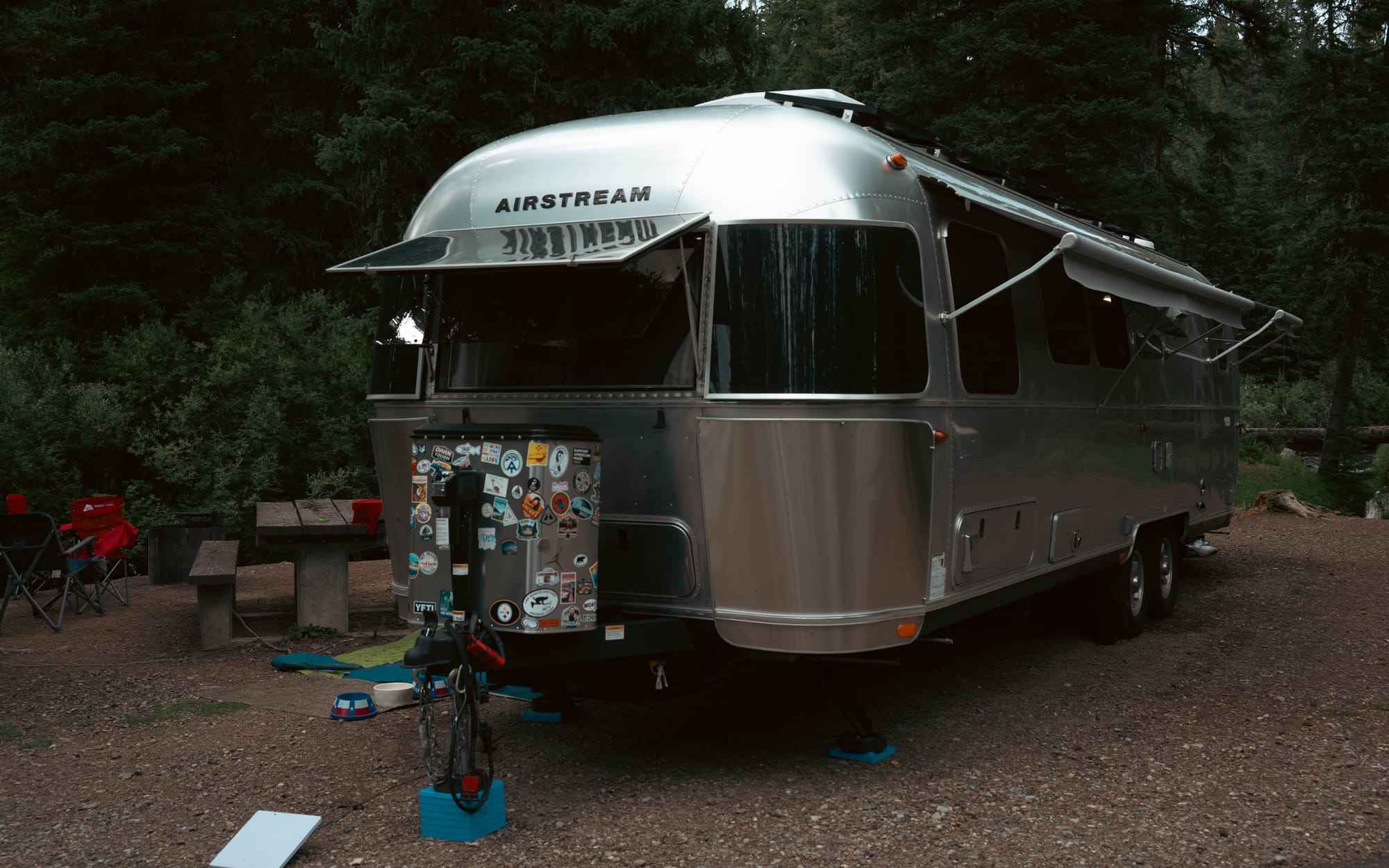
Cars lined the recreation areas, the campground was full, and the drive into the loop left very little room for the Airstream. Getting settled took patience, but the site itself justified the effort.
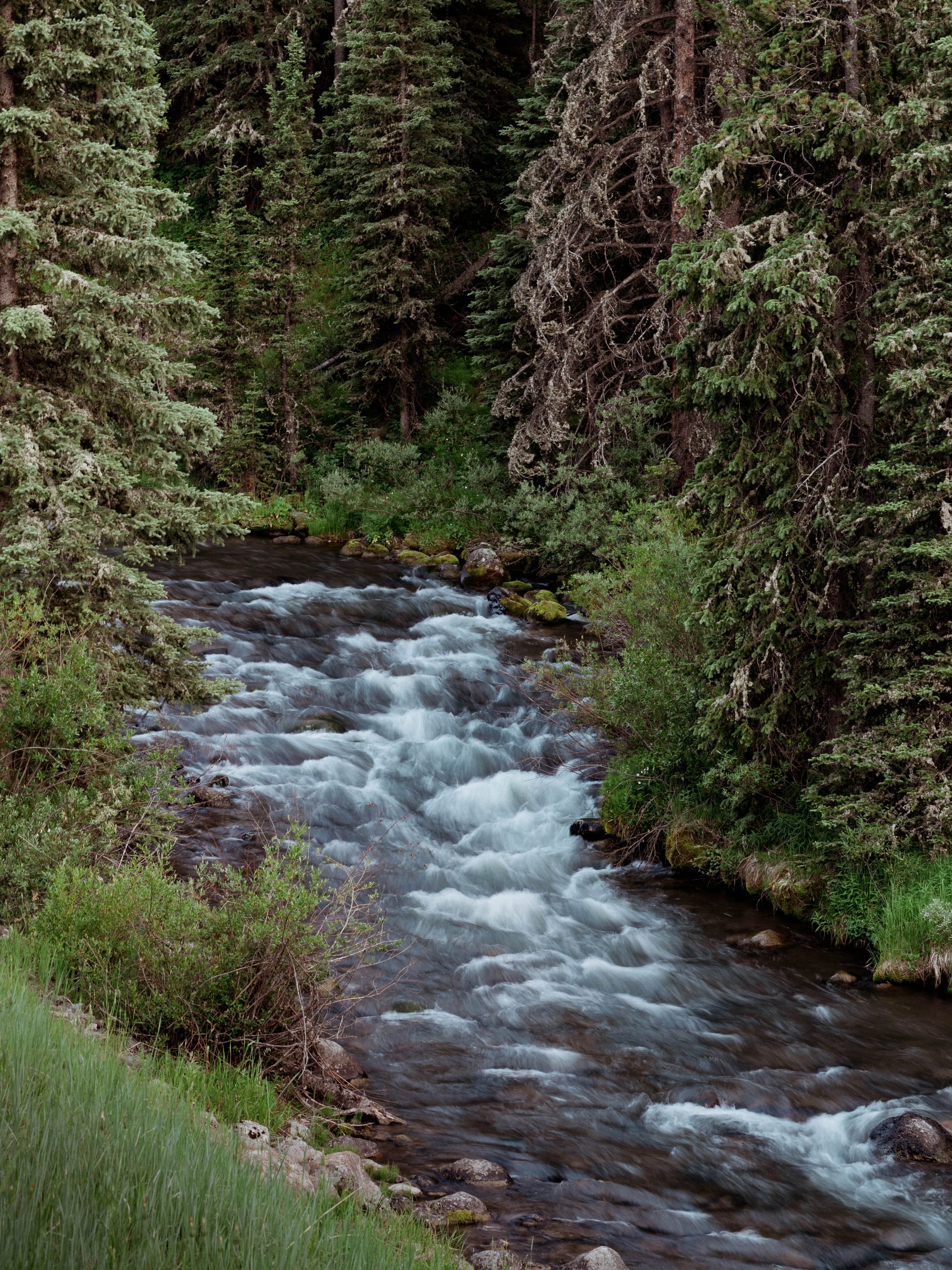
Hyalite Creek ran directly beside us.
The spacing was good, the surrounding trees gave the site privacy, and the cold water became the easiest way to handle the hot afternoons. Once Sunday ended, the canyon quieted substantially and the campground settled into a much slower weekday rhythm.
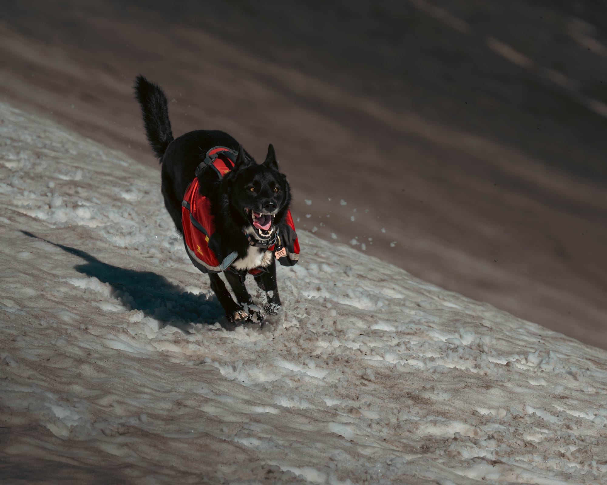
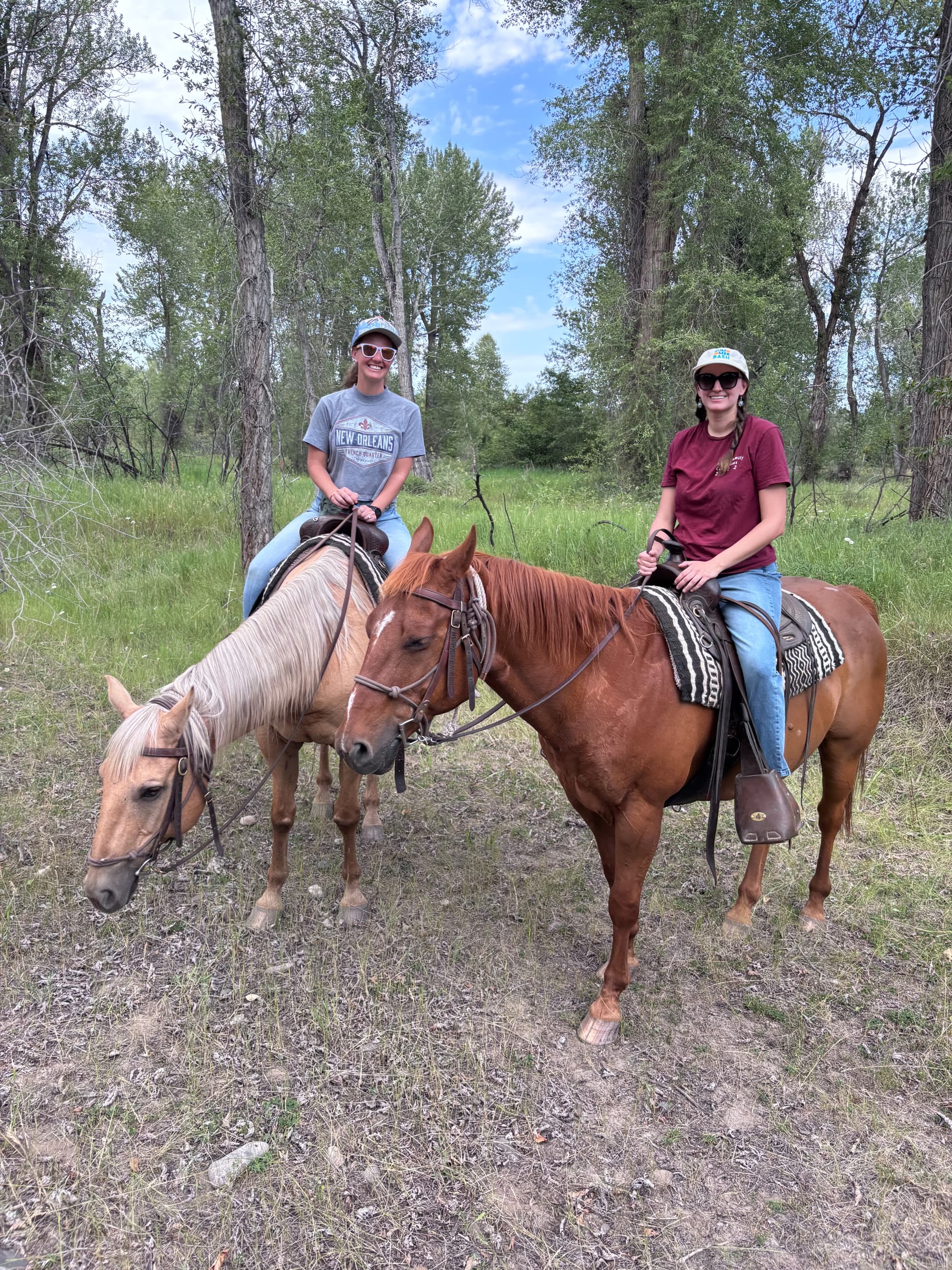
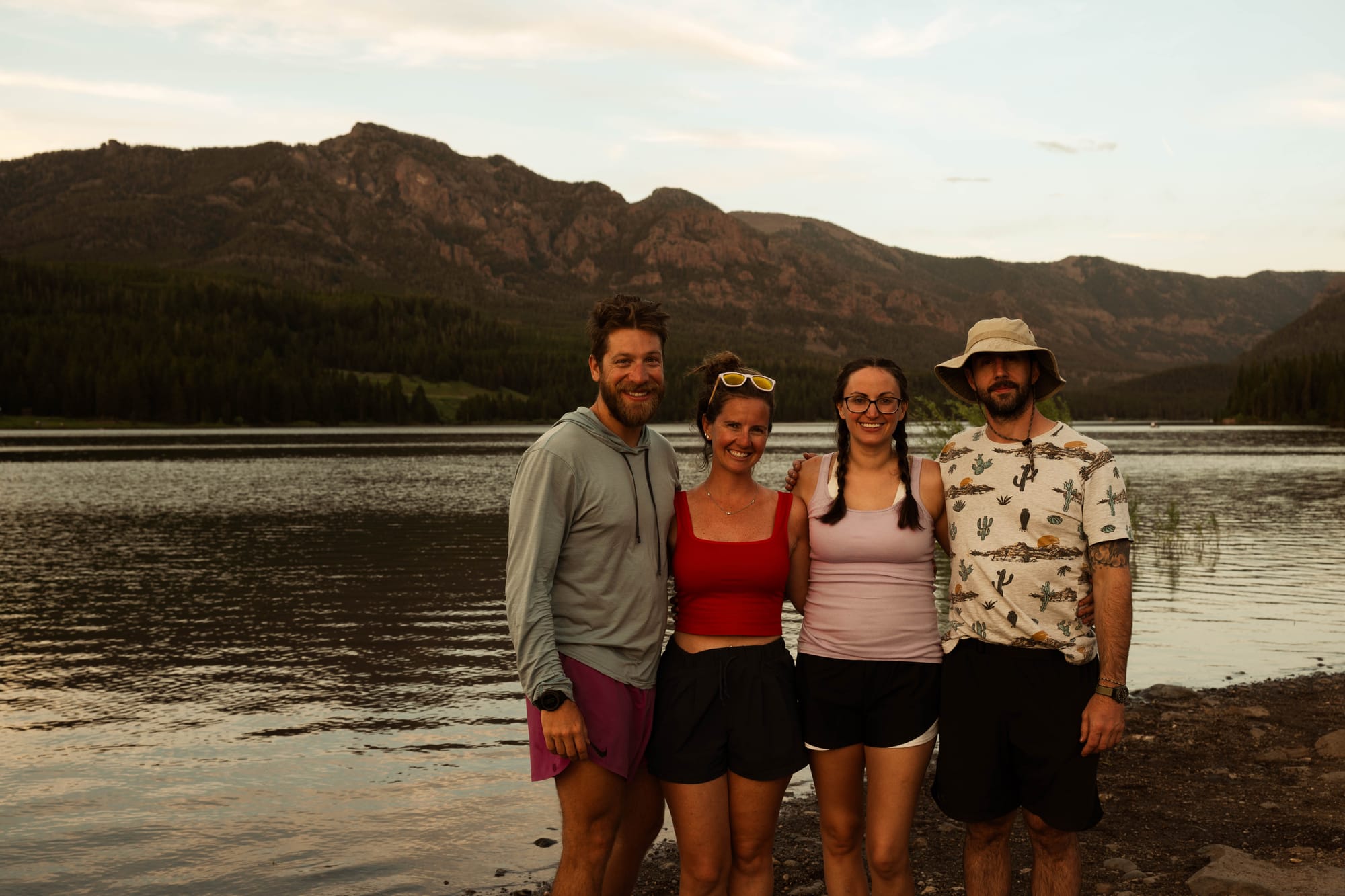
Proof and I spent one day climbing Hyalite Peak. Sam went horseback riding, which was her first time on a horse and an experience she immediately wanted to repeat.
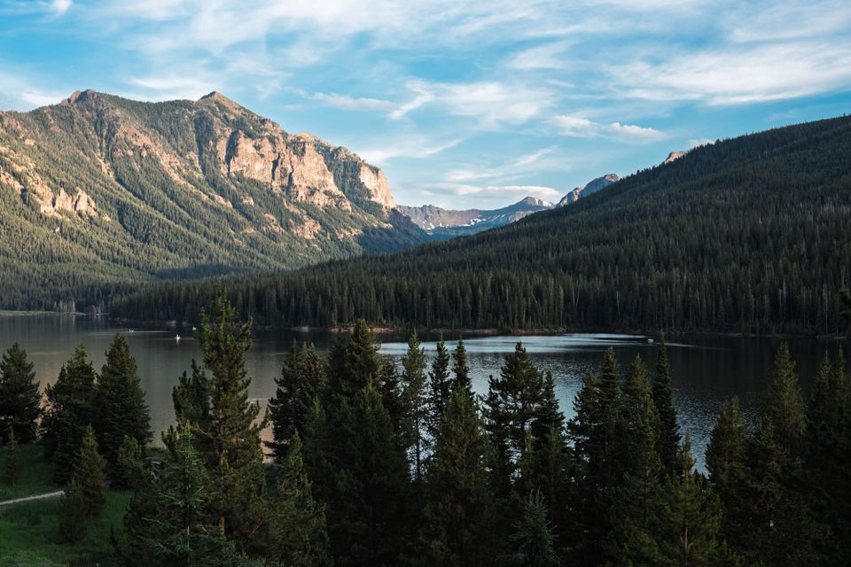
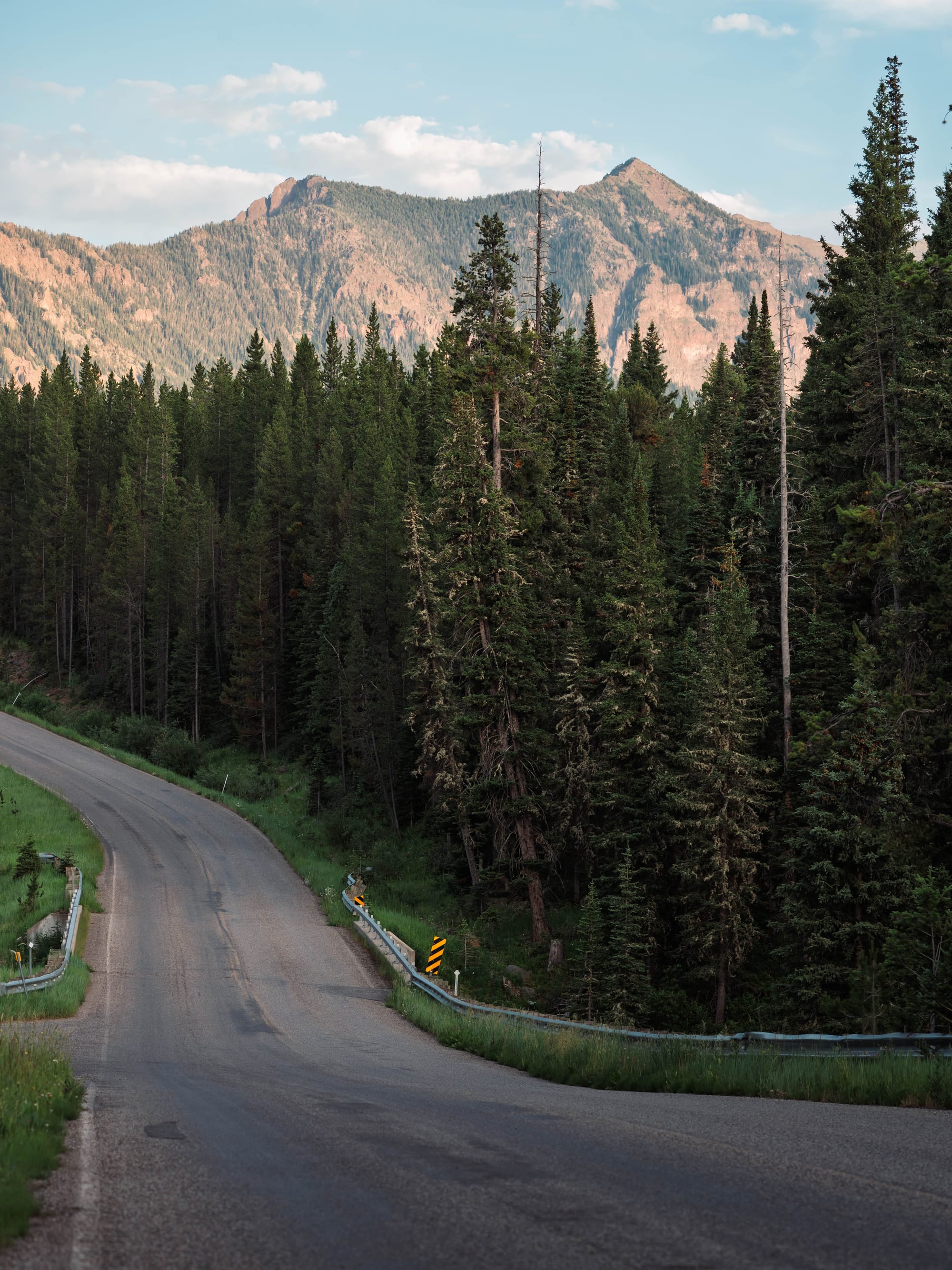
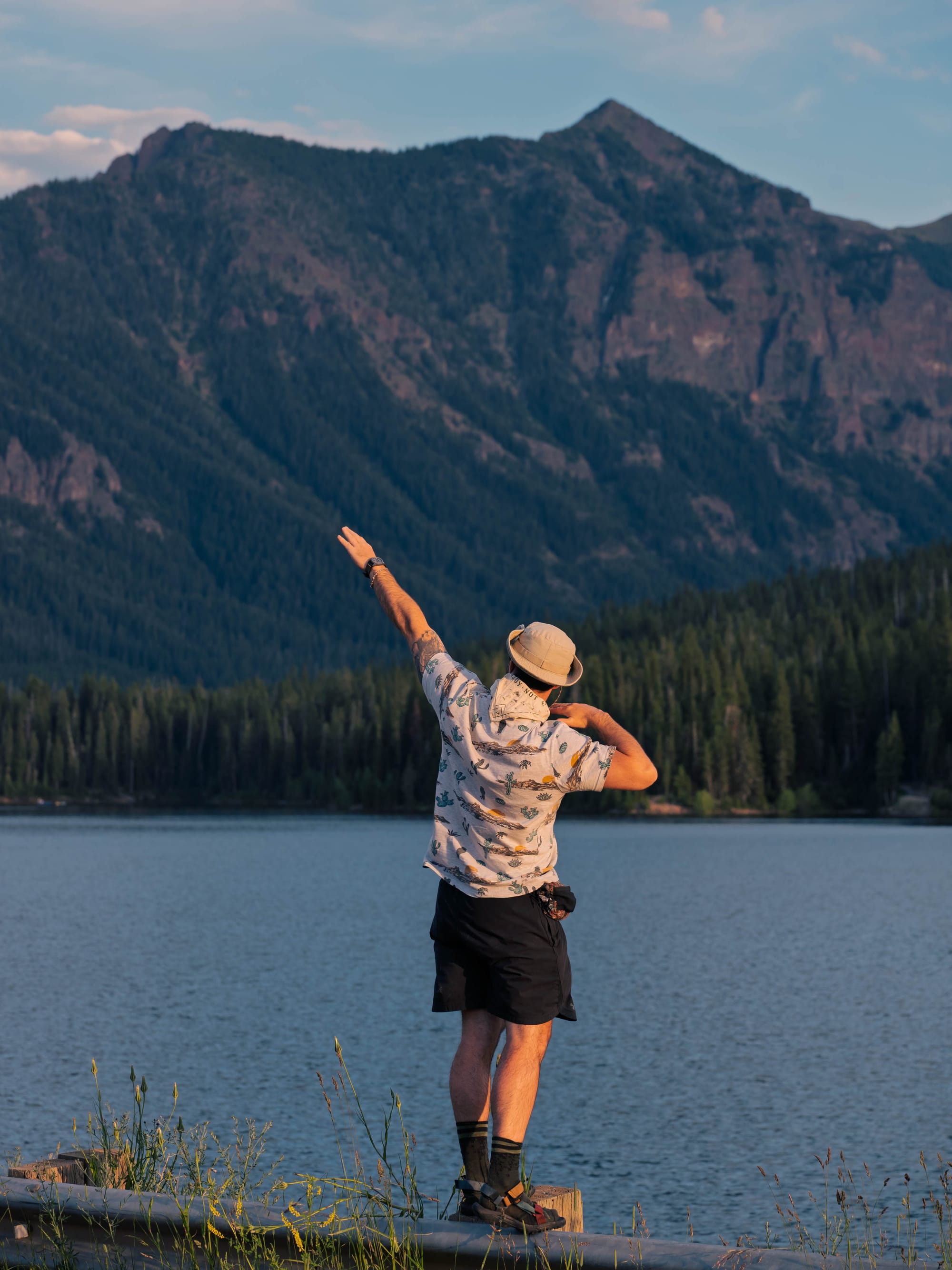
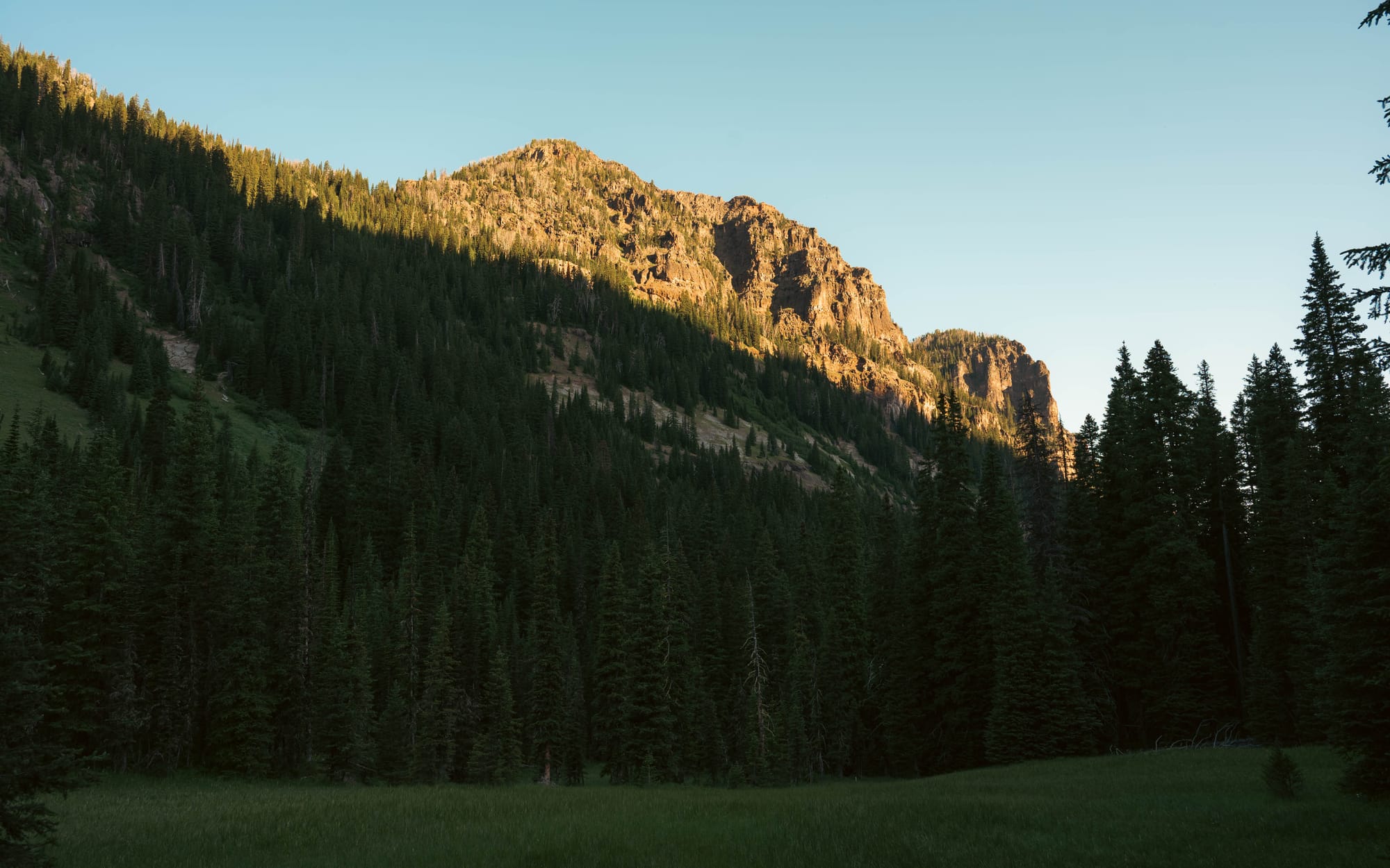
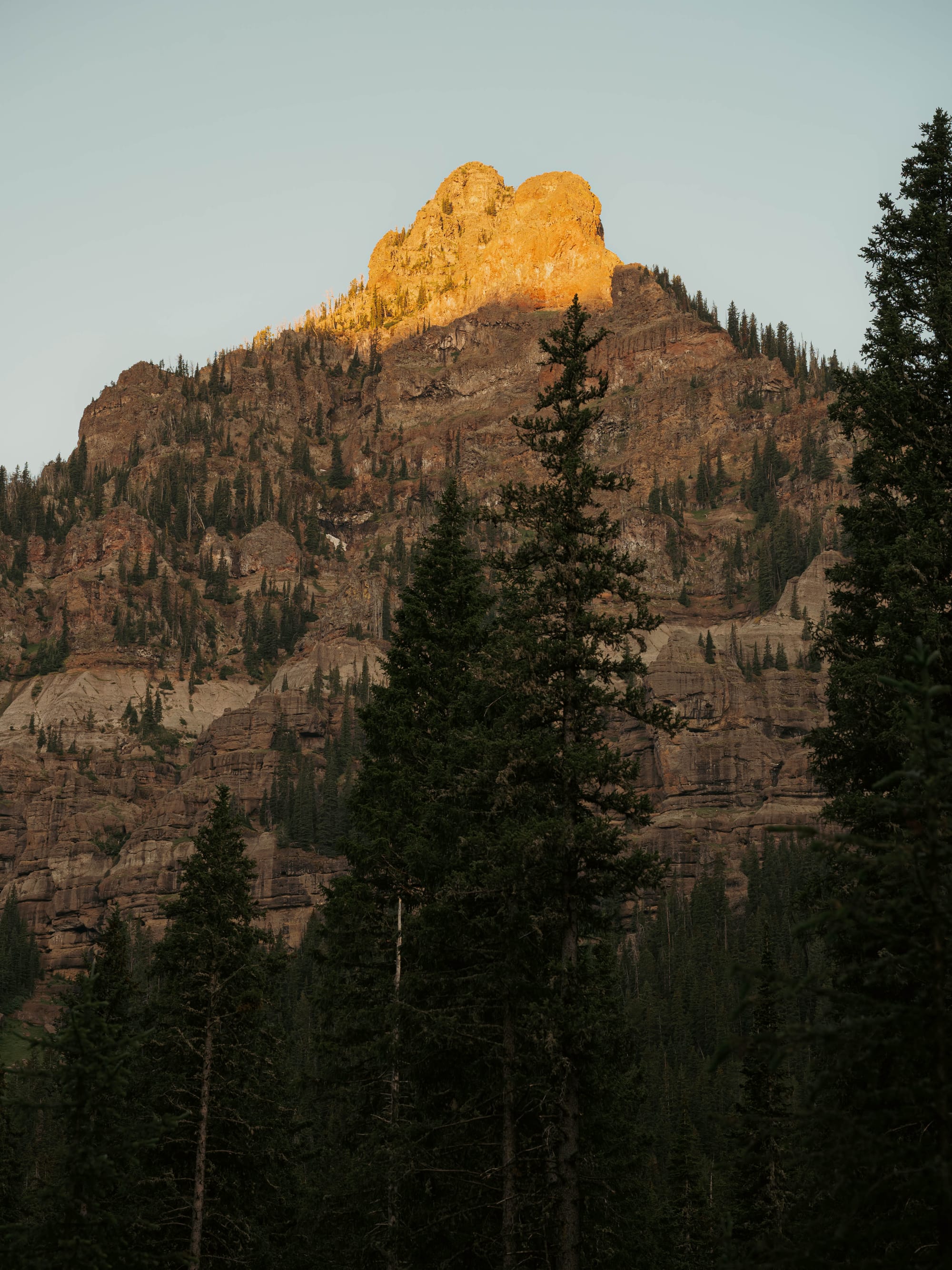
Another evening, we spent nearly two hours driving through the canyon during golden hour, following the forest road around the reservoir as the light moved across the Gallatin Range.
Three nights went quickly.
We could have stayed much longer.
🗺️ The Lay of the Land
- Location: Hyalite Canyon, south of Bozeman, Montana · 45.4750, -110.9553 · [Google Maps]
- Official site: Custer Gallatin National Forest
- Landscape: Gallatin Range · Hyalite Canyon/Reservoir · alpine ridges
- Vibe: creekside forest camping, reservoir access, waterfall trails, and high-country hiking near Bozeman
- Our stay & conditions: July 12–15, 2026 · 3 nights · hot, clear days with cooler evenings beside the creek
🏕️ Camp Setup
- Site types: RV sites · tent sites
- Arrival & setup: Moderate to Difficult
- Hookups: None
- Connectivity: 📶 AT&T ❌ | 📶 Verizon ❌ | 📶 T-Mobile ❌ | 📡 Starlink 🟢 | 📶 Park Wi-Fi ⟂
- Facilities: Restrooms · Potable water · Trash
Legend:
🚽 = sewer at site · 🧻 = dump station
🟢 = solid for work · ⚠️ = usable with limits · ❌ = unusable
Park Highlights
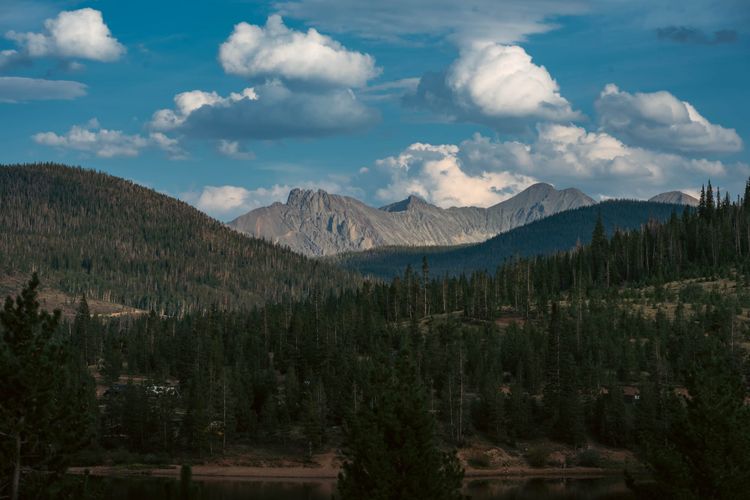
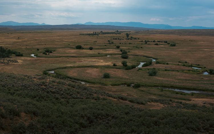
The forest covers more than three million acres across southern Montana and northwestern South Dakota, reaching through six major mountain ranges and several separate grassland and forest districts. The Gallatin portion borders Yellowstone and forms part of the larger Greater Yellowstone ecosystem.
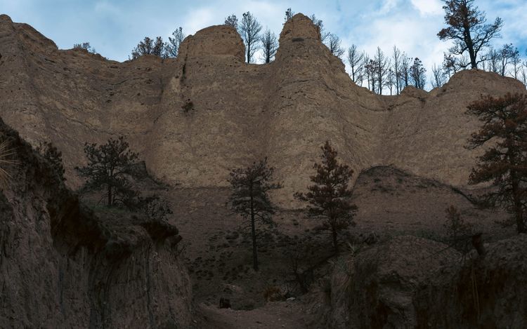
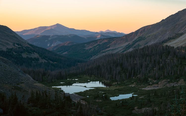
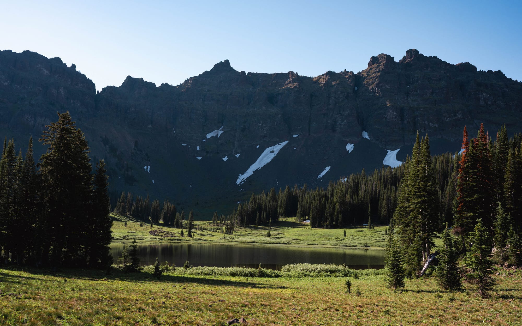
Hyalite Canyon cuts into the northern end of the Gallatin Range, where Hyalite Creek moves through a steep mountain drainage before reaching the reservoir. The terrain reflects several layers of geologic history. Uplift built the range, while ice, snowmelt, and running water continued shaping the canyon, opening alpine basins and feeding the long chain of waterfalls above it.
The reservoir is the human addition.
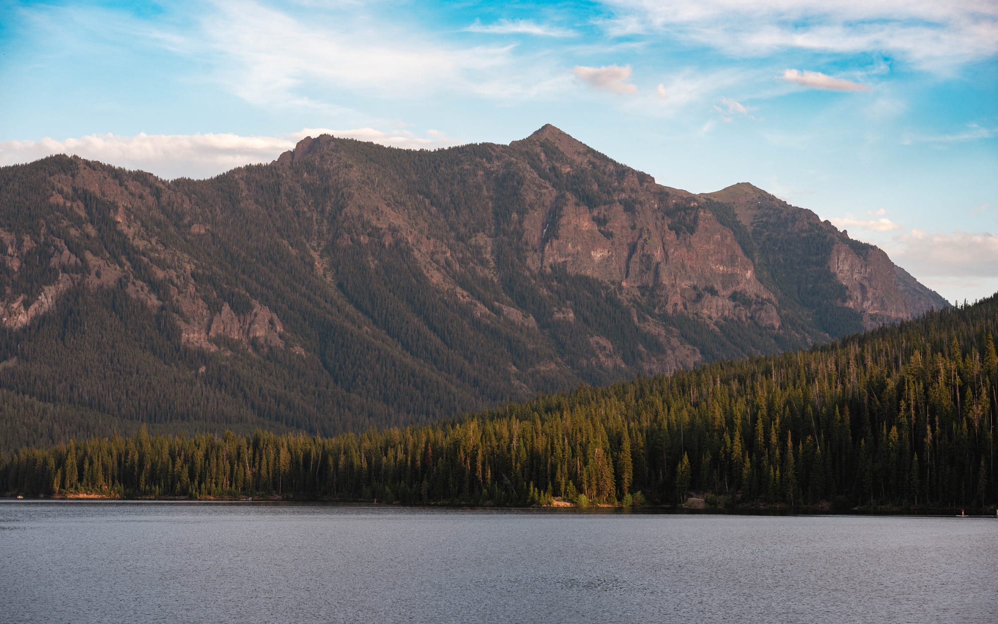
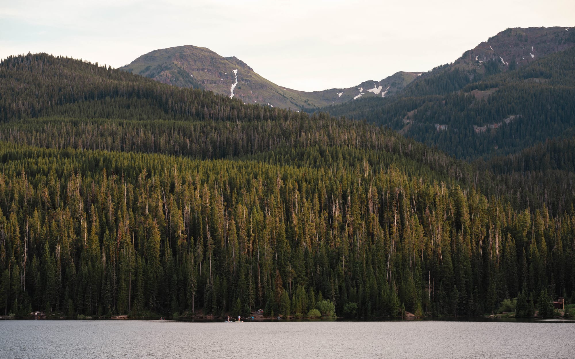
Middle Creek Dam was originally built in the 1940s and later expanded, creating the body of water now known as Hyalite Reservoir. It sits at roughly 6,700 feet, with Hyalite Creek flowing into and out of it.
The creek ties together the summit snowfields, waterfalls, reservoir, campground, and valley below.
Gallatin National Forest was established in 1899 during the early federal effort to keep important mountain forests under public control. Unlike a national park, the forest was created around watershed protection and managed public use rather than preservation alone. Today, the former Gallatin and Custer forests are administered together as Custer Gallatin National Forest.
Hyalite Canyon shows how those purposes overlap.
It is a watershed, a recreation corridor, wildlife habitat, a water-storage system, and one of Bozeman’s closest mountain escapes.
That also explains the crowds.
What surprised us was how quickly the canyon changed once the weekend ended.
🚴 On the Ground
- Activities available: ● 🥾 Hiking | ● 🚴 Biking | ● 🐕 Dogs | ● 🚣 Paddling | ● 🎣 Fishing | ● 🐦 Birding | ● 🏊 Swimming | ● 📸 Photography | ● 🏕️ Camp-centric | ● 🐎 Horseback riding | ● 🧗 Climbing
- Trail mileage available: 🥾 2,290+ mi. | 🚴 Extensive shared-use trail network | 🚣 ⟂
- Crowd level: Packed on weekends · quiet to steady during the week
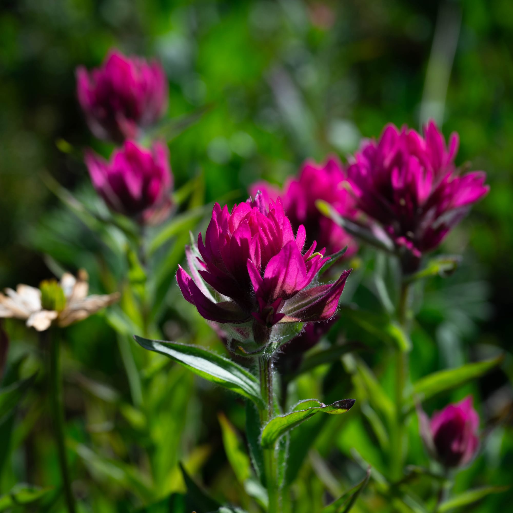
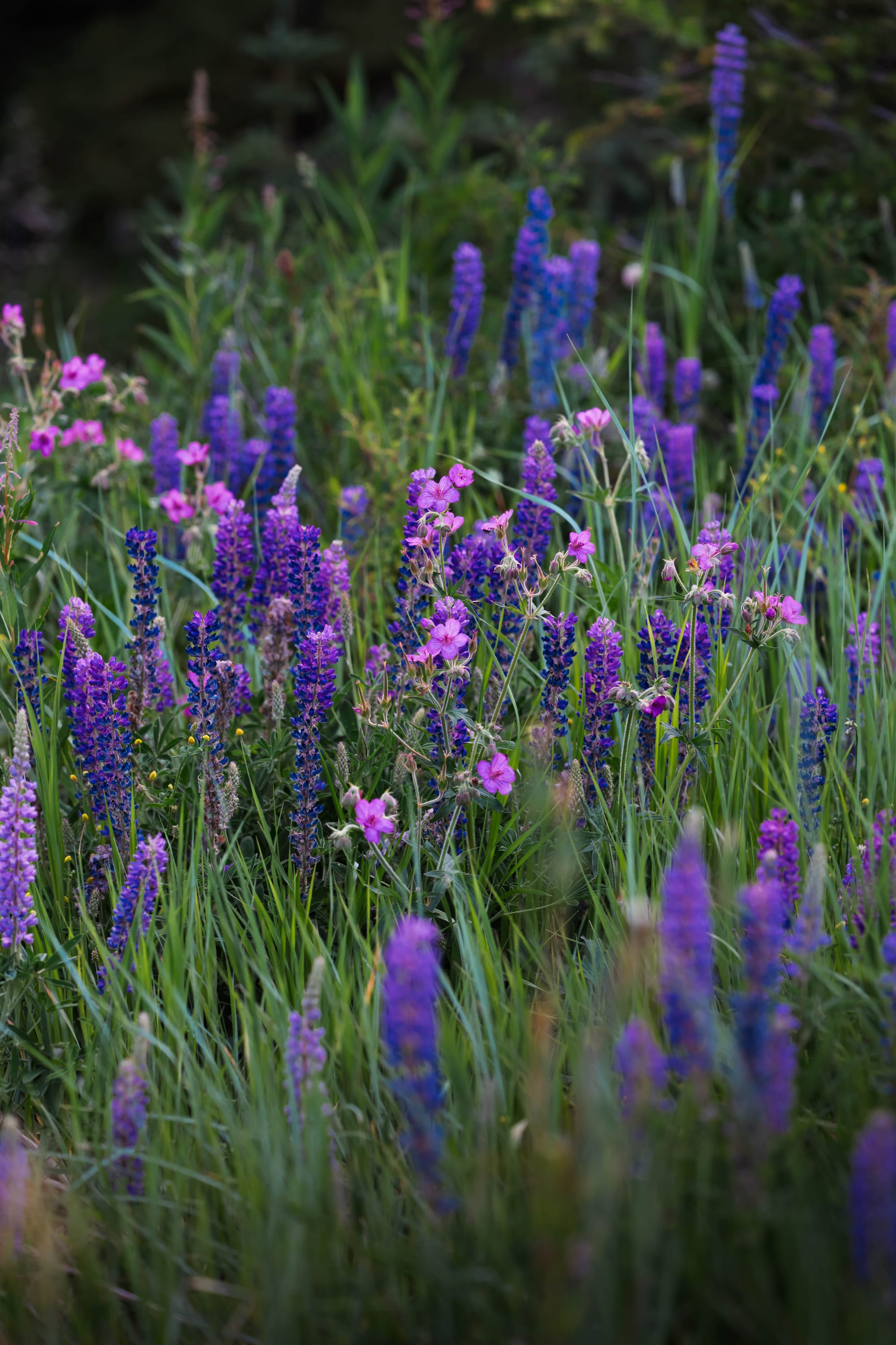
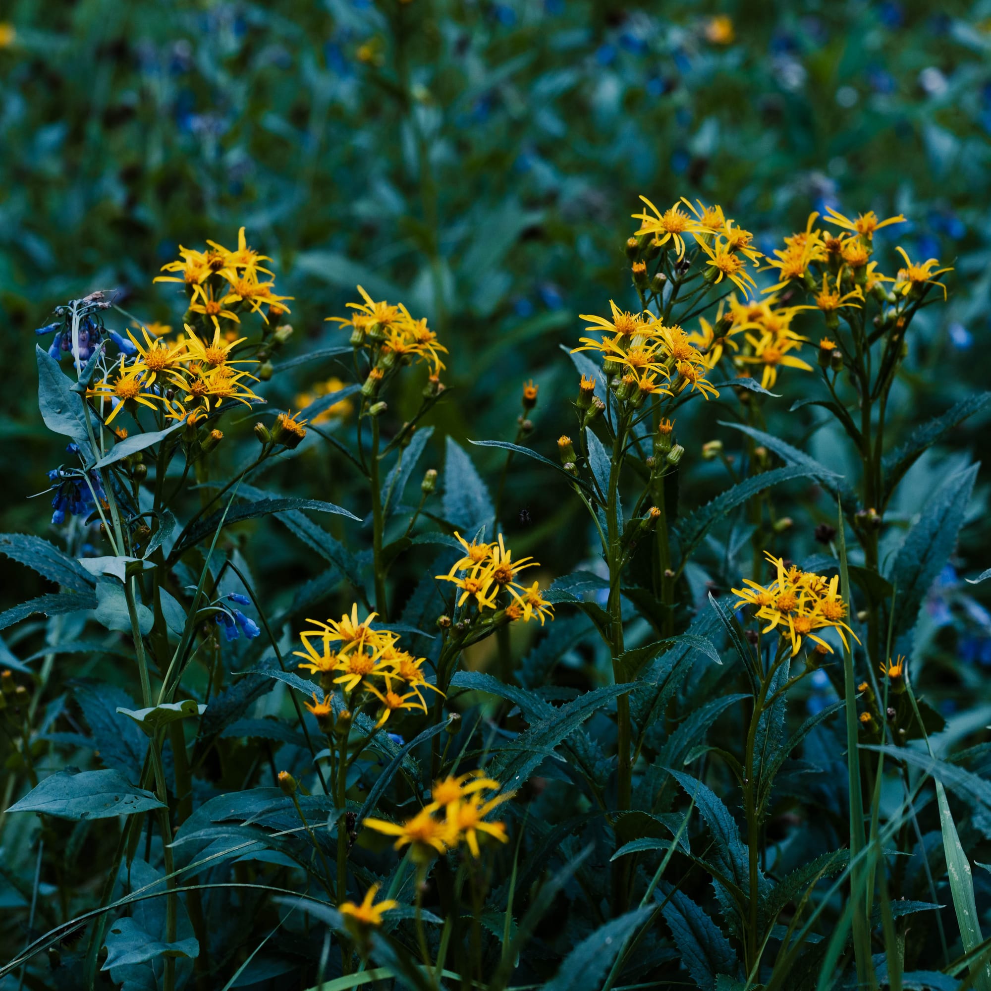
Hyalite Peak
Proof and I started at 5 a.m.
We biked three miles from camp to the trailhead before beginning the 14.5-mile hike to Hyalite Peak. By the time we returned to camp, we had covered more than twenty miles.
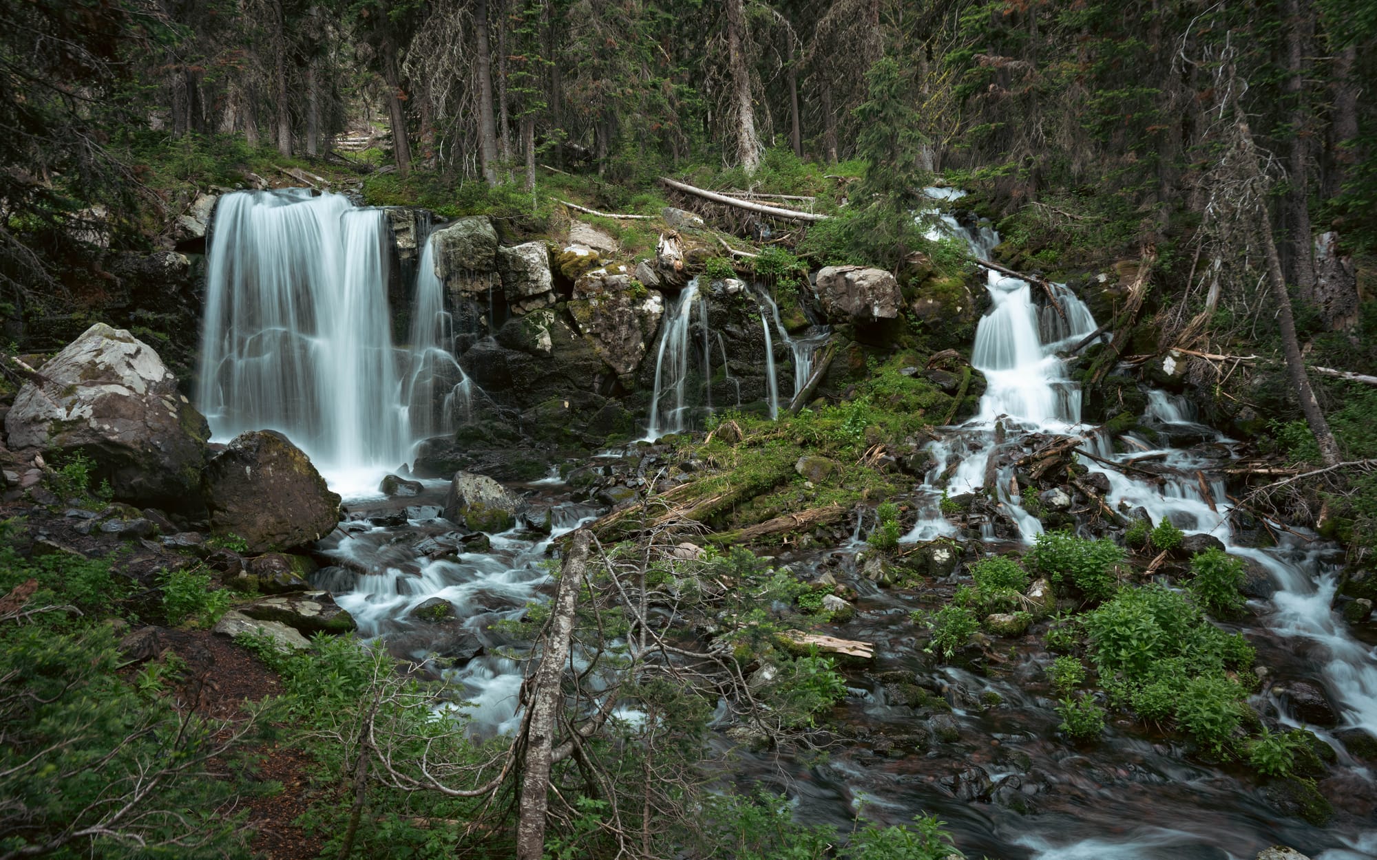
The trail built slowly. The waterfalls gave the climb its rhythm.
Some dropped beside the trail. Others appeared through openings in the trees. Each one marked our progress deeper into the canyon, while the early grade remained surprisingly manageable.
That changed near the upper basin.
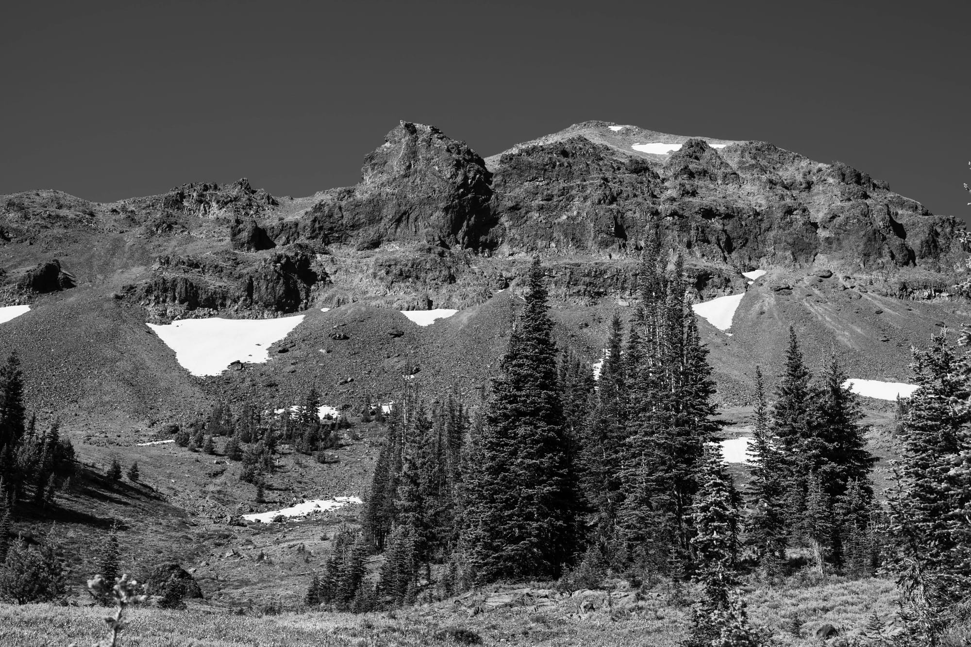
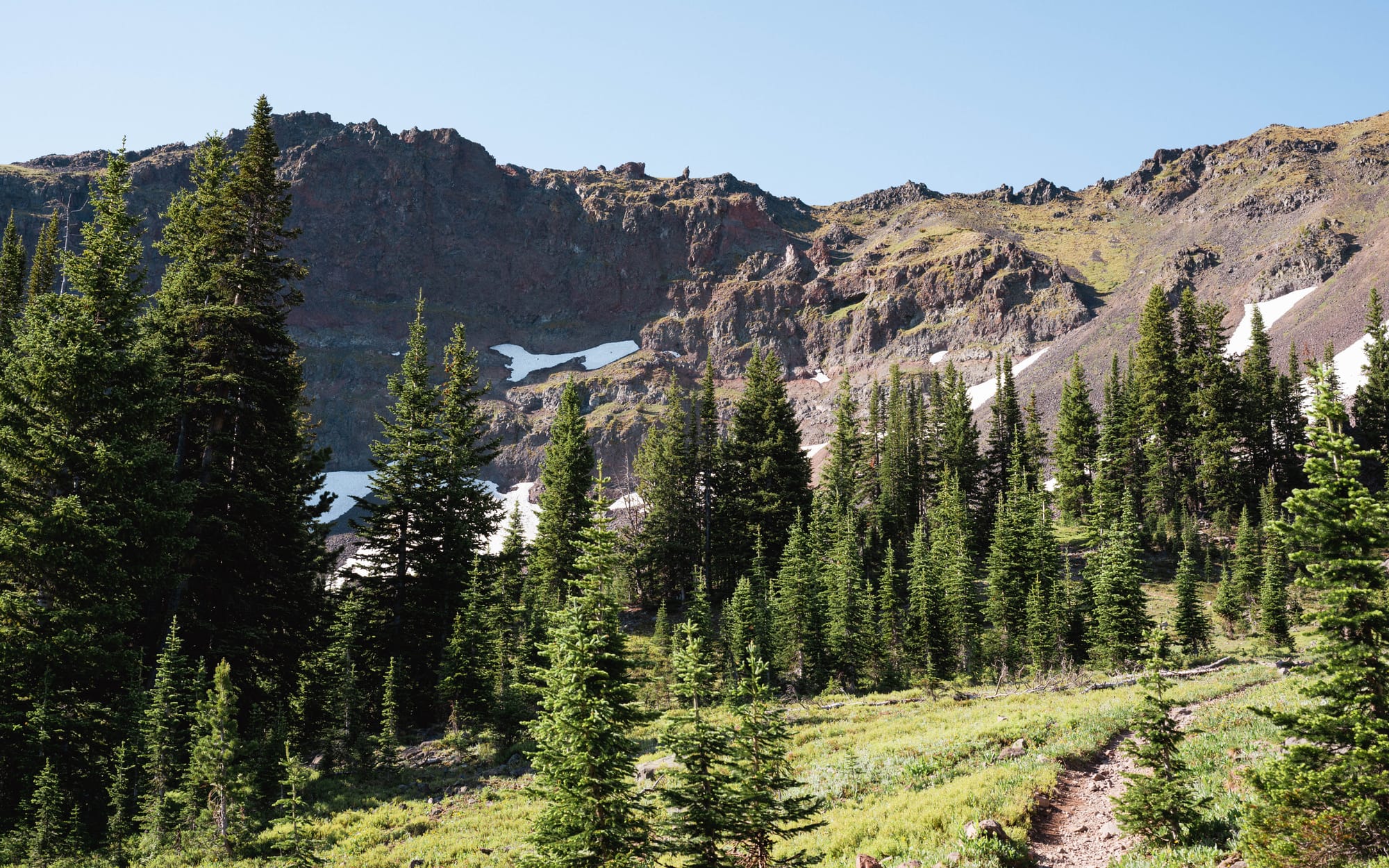
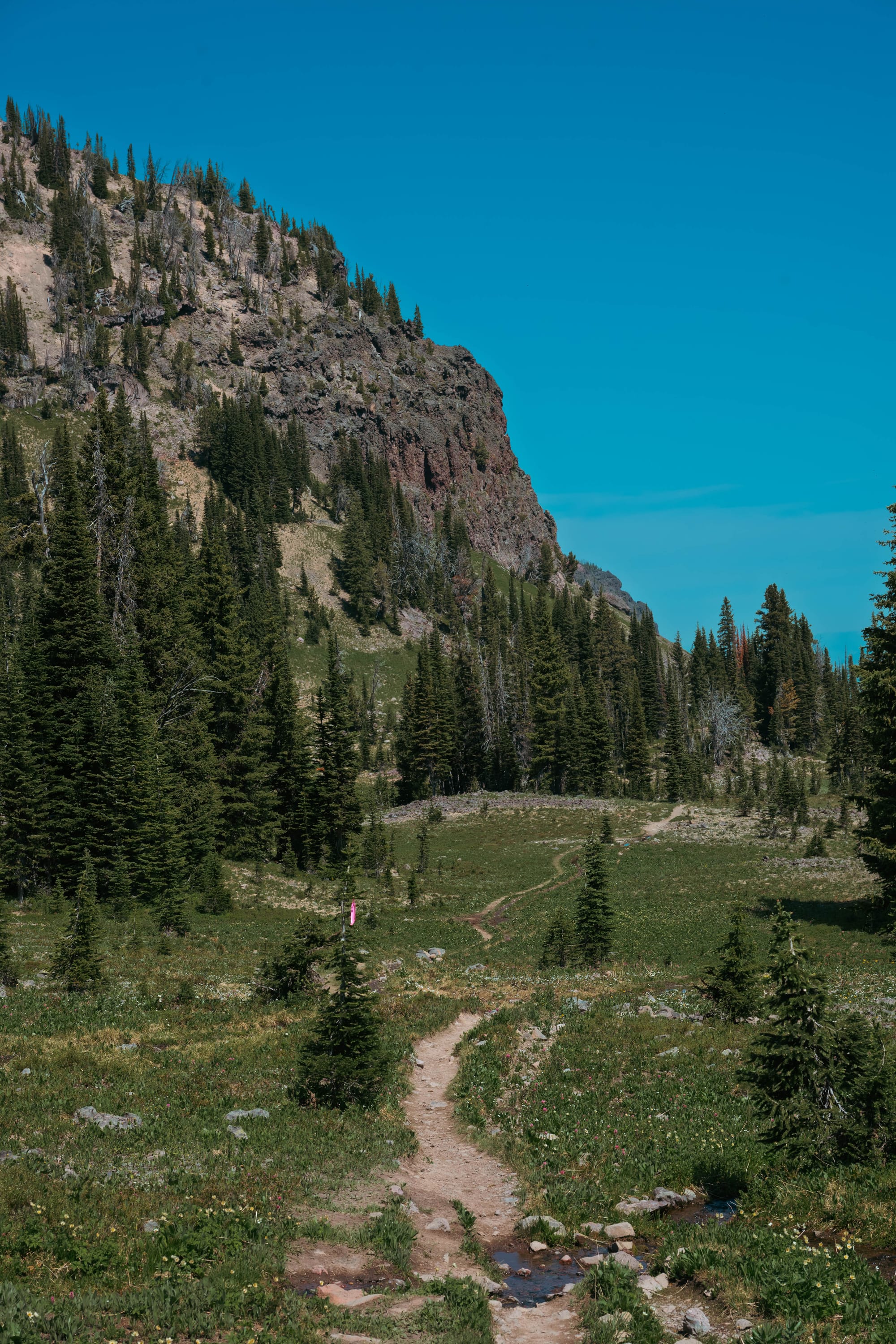
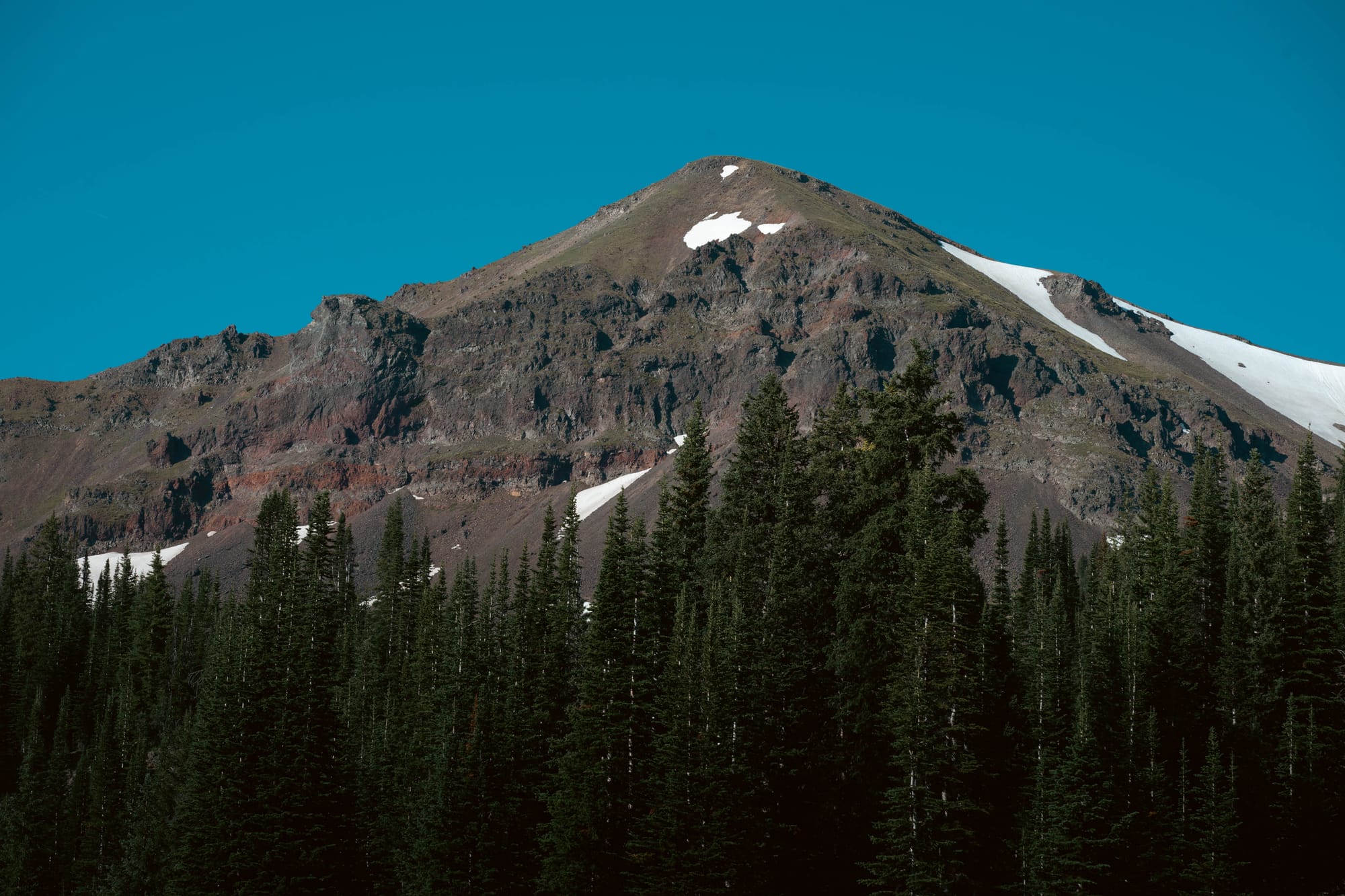
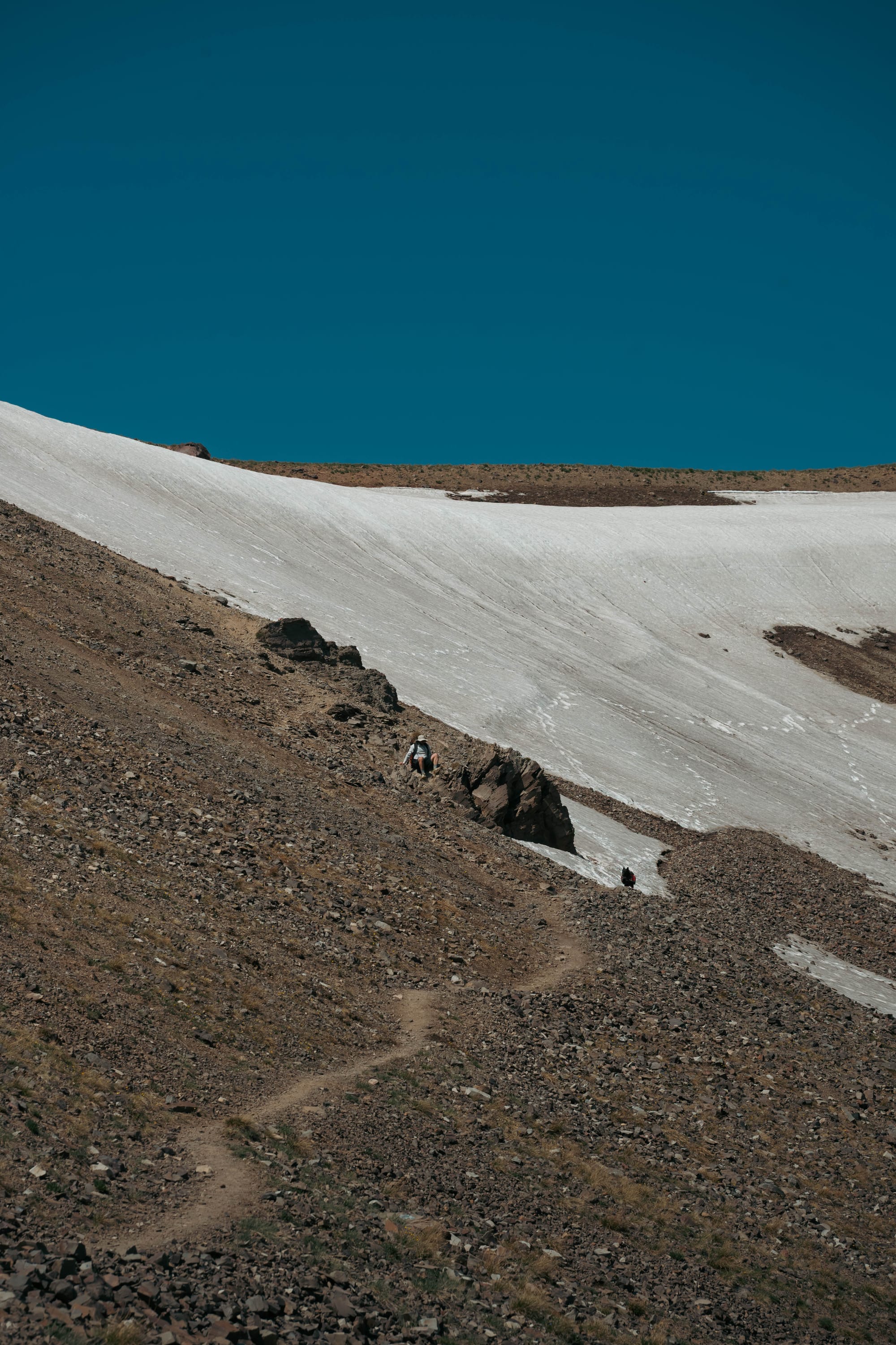
Most of the elevation arrived during the final few miles, where the trail climbed more directly toward Hyalite Lake and the summit ridge. Forest gave way to open terrain, and the remaining snow became harder to ignore.
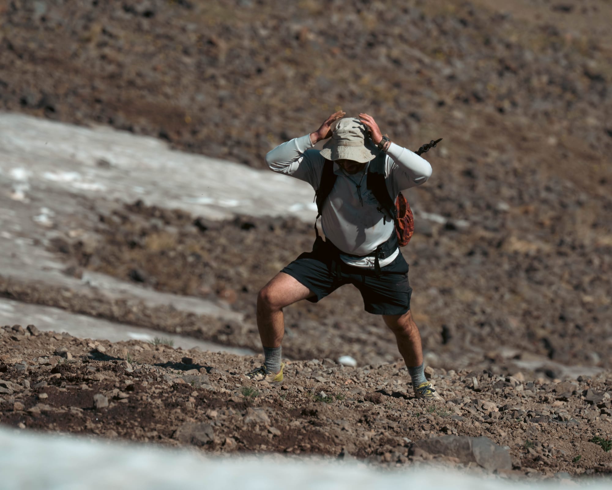
Near the top, wet gravel and lingering snow forced us off the comfortable pace we had maintained below. The final approach required a short scramble before the route opened onto the summit.
The sky remained clear.
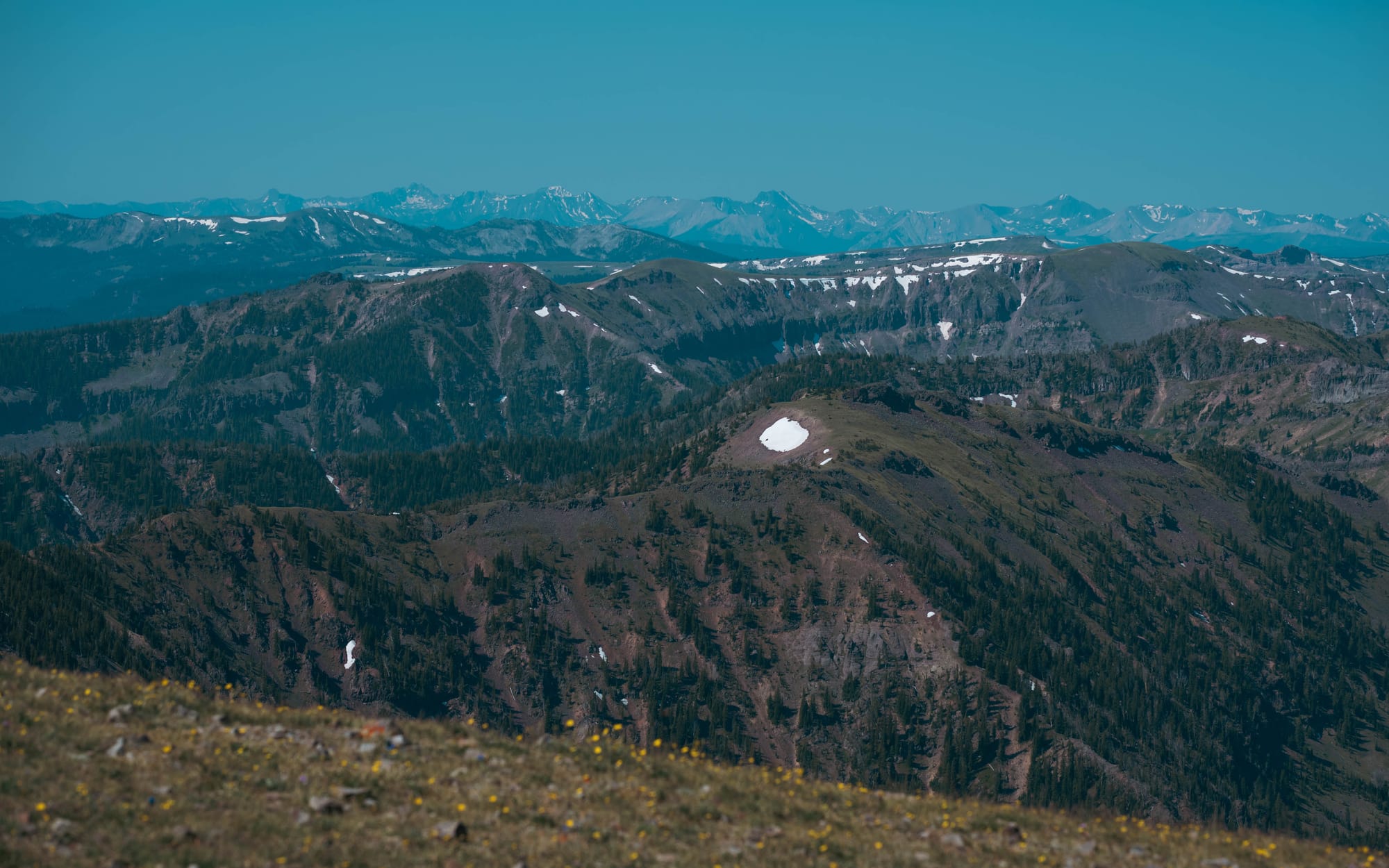
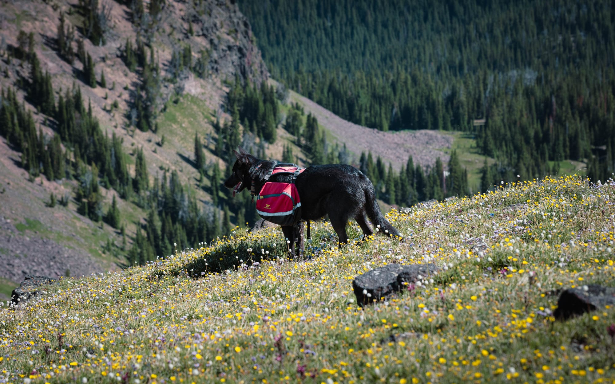
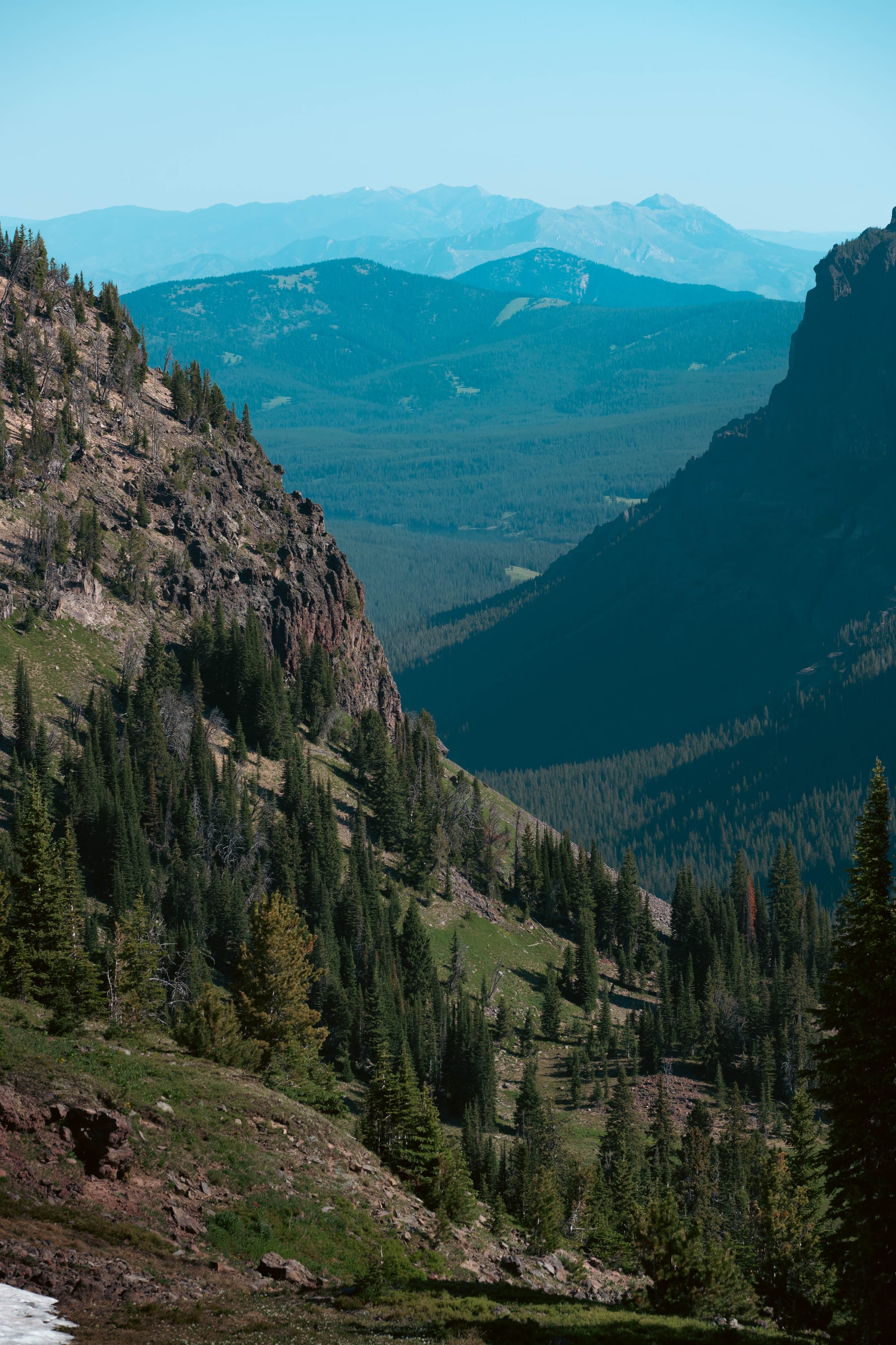
From the top, the Gallatin Range stretched in every direction, with alpine basins, lingering snowfields, forested ridges, and the canyon falling away below us.
The entire hike took about five and a half hours.
Proof classified most of the day as Type 2 fun. Hurts at the time but fun in retrospect.
More than ten waterfalls, a clear summit, and twenty miles under our own power made it one of the defining days of the stay.
⚡ TL;DR
- Park highlight: A creekside campsite deep in Hyalite Canyon with waterfalls, reservoir access, and a major alpine summit within riding distance
- Best for: Long hikes, creekside camping, paddling, fishing, biking, horseback riding, and high-country access
- Skip if: You are arriving with a large rig, need reliable cell service, or hate bugs
- Worth planning around?: Yes
Final Takeaways
Custer Gallatin National Forest immediately moved near the top of our list.
Part of that came from Chisholm Campground itself.
Our site was one of the best places we had parked the Airstream: private, spacious, surrounded by forest, and positioned directly beside the creek.
The larger reason was Hyalite Canyon.
The reservoir, waterfalls, trails, horseback riding, scenic roads, and access to the Gallatin high country gave us more than we could fit into three nights. Hyalite Peak became the defining experience, but it also revealed how much remained beyond that one trail.
By the time we left, the weekend traffic had disappeared, the creek had become part of camp, and the forest felt much larger than the small section we had managed to explore.
We would return for the campsite alone.
The miles beyond Hyalite Canyon are what will bring us back again.