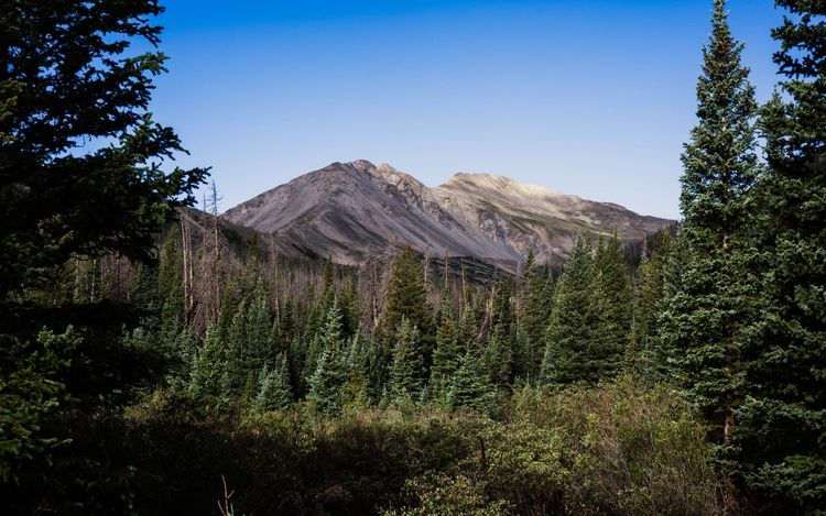
Appalachian Trail | Southern & Central Maine

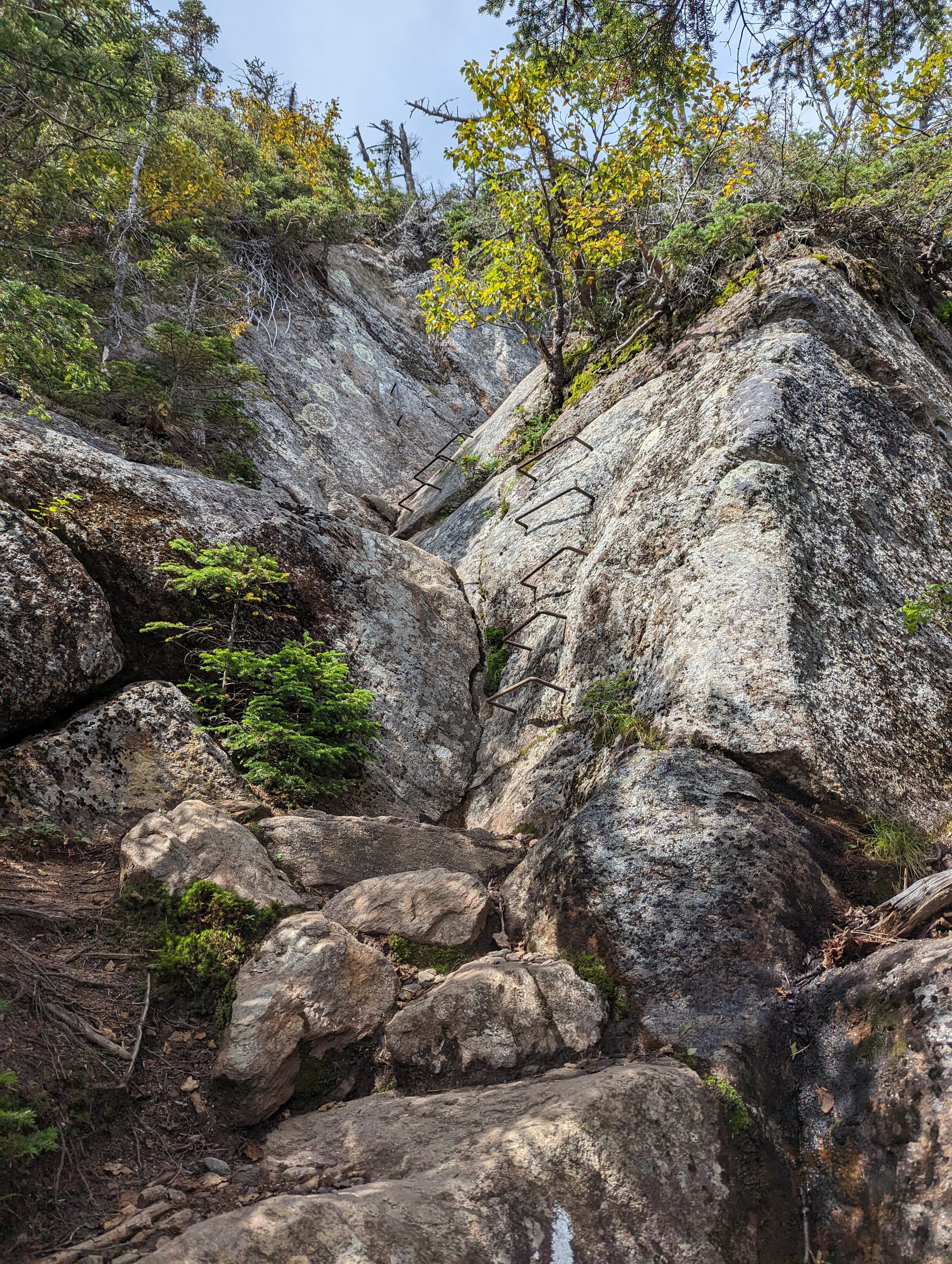
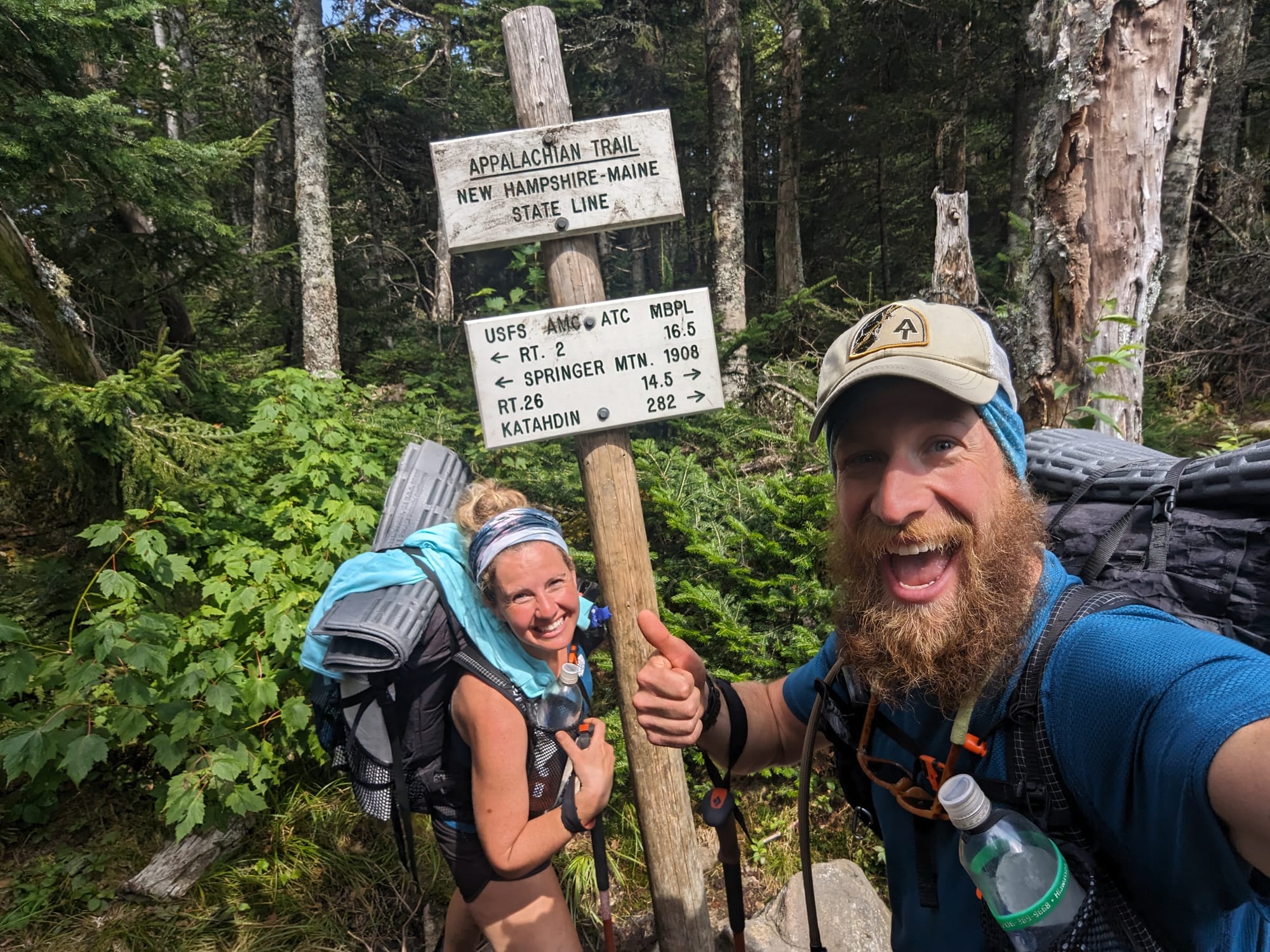
Crossing into Maine felt different from every state line before it.
There was a long descent out of New Hampshire before we finally reached the sign. After everything between Georgia and that point, seeing Maine written on it felt a little surreal.
We made it to the final state.
By then, hikers seemed to fall into a few groups. Some were ready to be finished and started pushing bigger miles toward Katahdin. Others were excited about the finish but conflicted about getting there.
We started moving the other direction.
Not south, obviously. Just slower.
For most of the trail, forward progress had been the goal. In Maine, we started finding reasons to slow it down. More hostel nights. More time around fires. More conversations. We knew we were going to finish. For the first time, that certainty made getting there quickly less important.
Maine gave us plenty of reasons to take our time.
🗺️ The Lay of the Land
- Section: Southern & Central Maine
- AT miles: Approx. 1,910–2,079
- States covered: Maine
- Direction: Northbound
- Landscape: Mahoosuc Range · western Maine high peaks · lake country
- Terrain: boulders · steep climbs · roots · bogs · river crossings
- Section role: the last major mountain country before the 100-Mile Wilderness
Regional Notes
The Mahoosucs
Maine did not get easier just because the White Mountains were behind us.
The difference was how the difficulty showed up.
New Hampshire had concentrated much of the work into steep climbs, exposed ridges, and heavily used mountain corridors. Maine stayed rugged, but the trail felt less engineered around access. Roads and trailheads were farther away. Towns pulled back from the route. Once we climbed into the mountains, there was less infrastructure surrounding them.
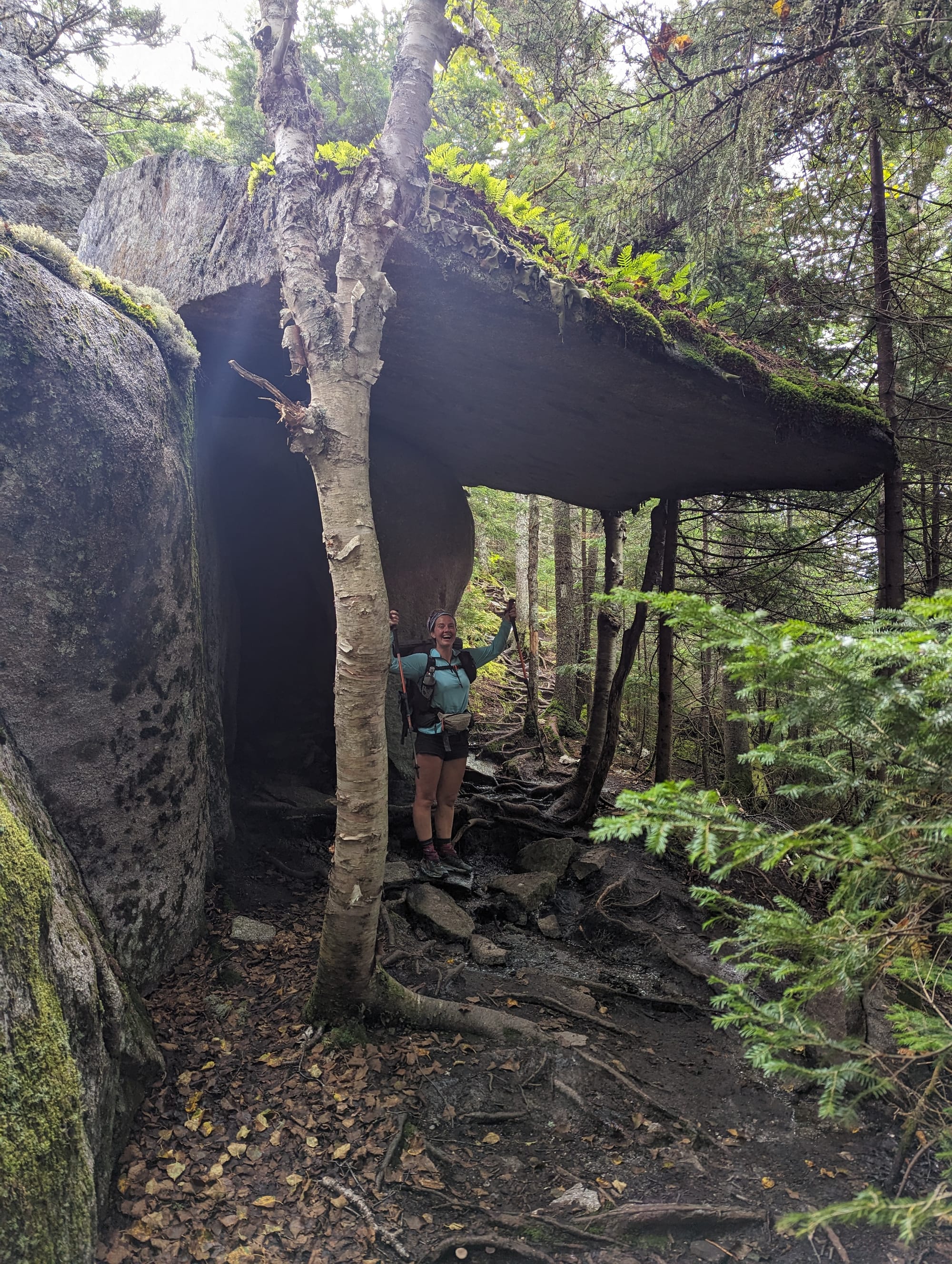
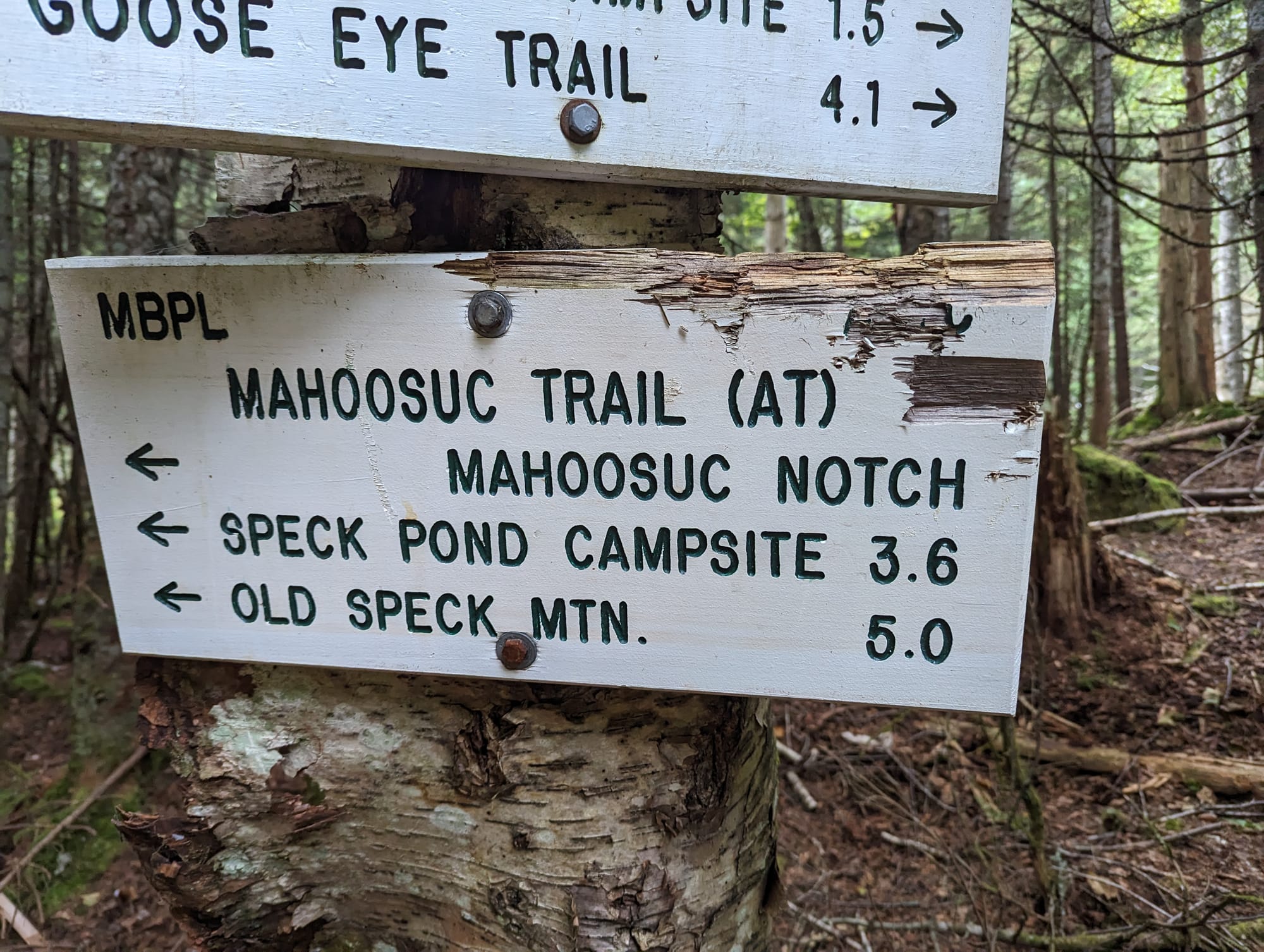
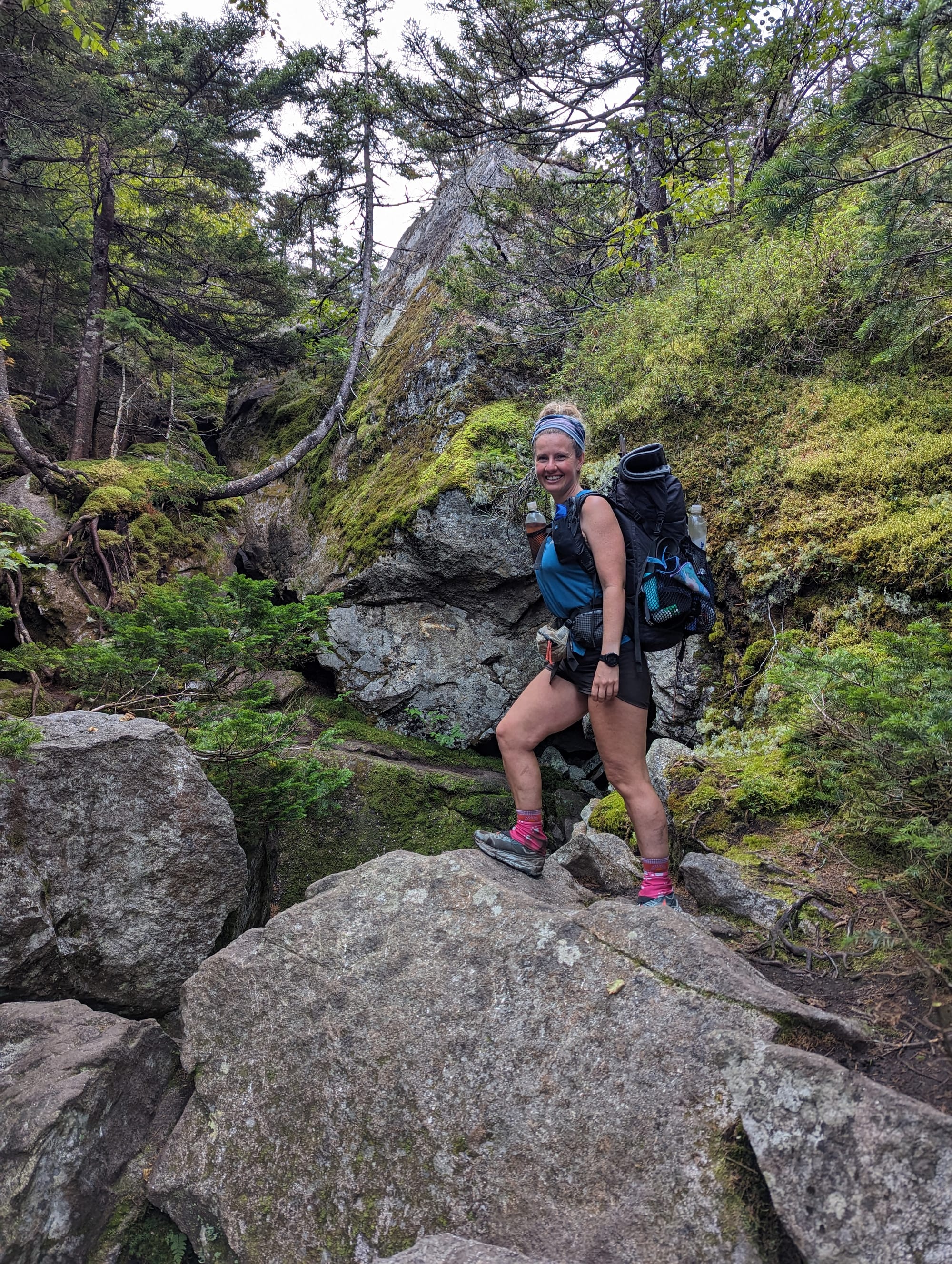
Mahoosuc Notch was the clearest early example of how different the walking could be.
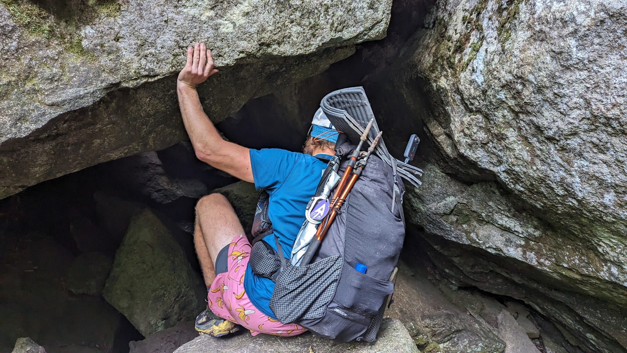
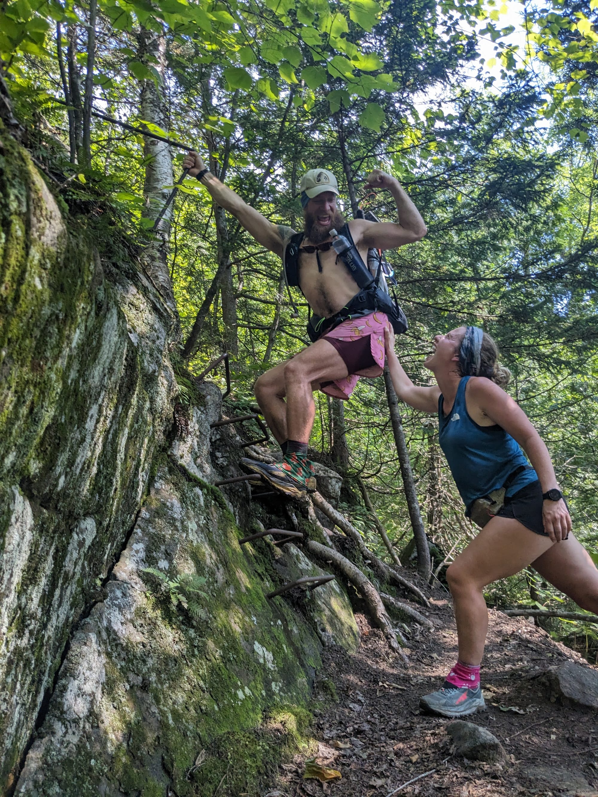
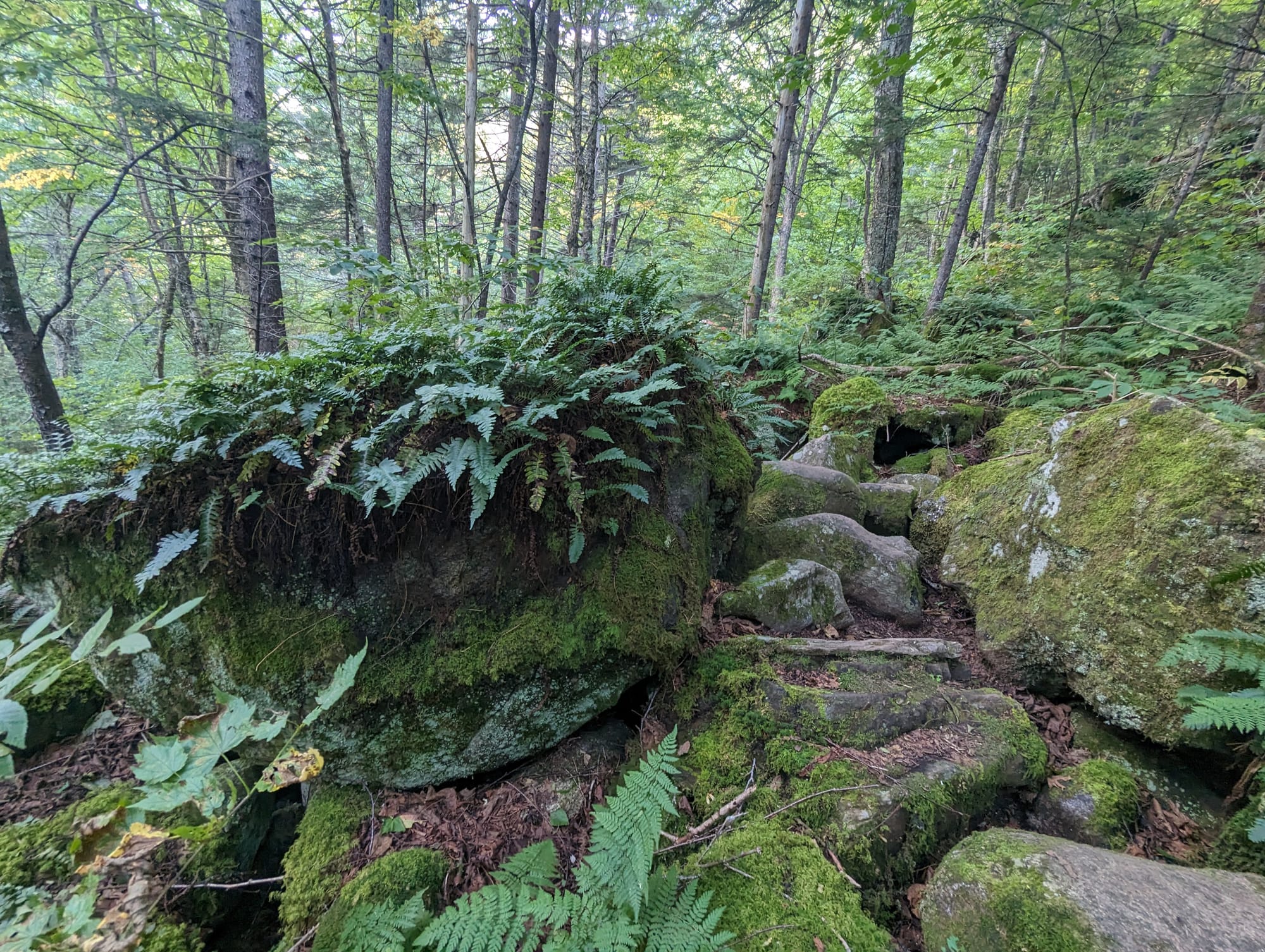
For roughly a mile, the trail drops into a narrow jumble of enormous boulders that have fallen between the surrounding mountains. Instead of normal hiking, the route winds over, around, and through blocks of rock ranging from car-sized to house-sized.
It took us about an hour and a half to work through that mile.
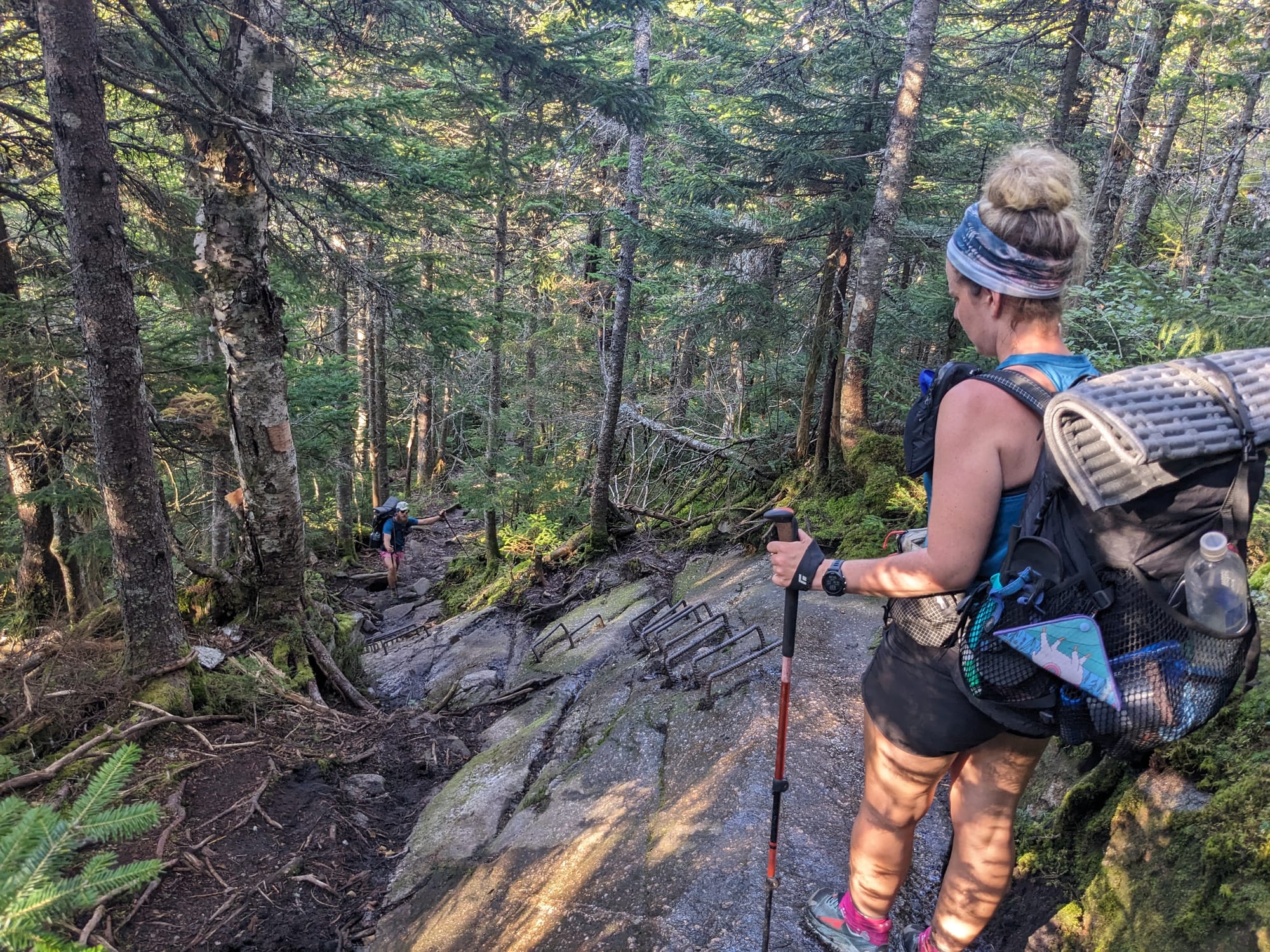
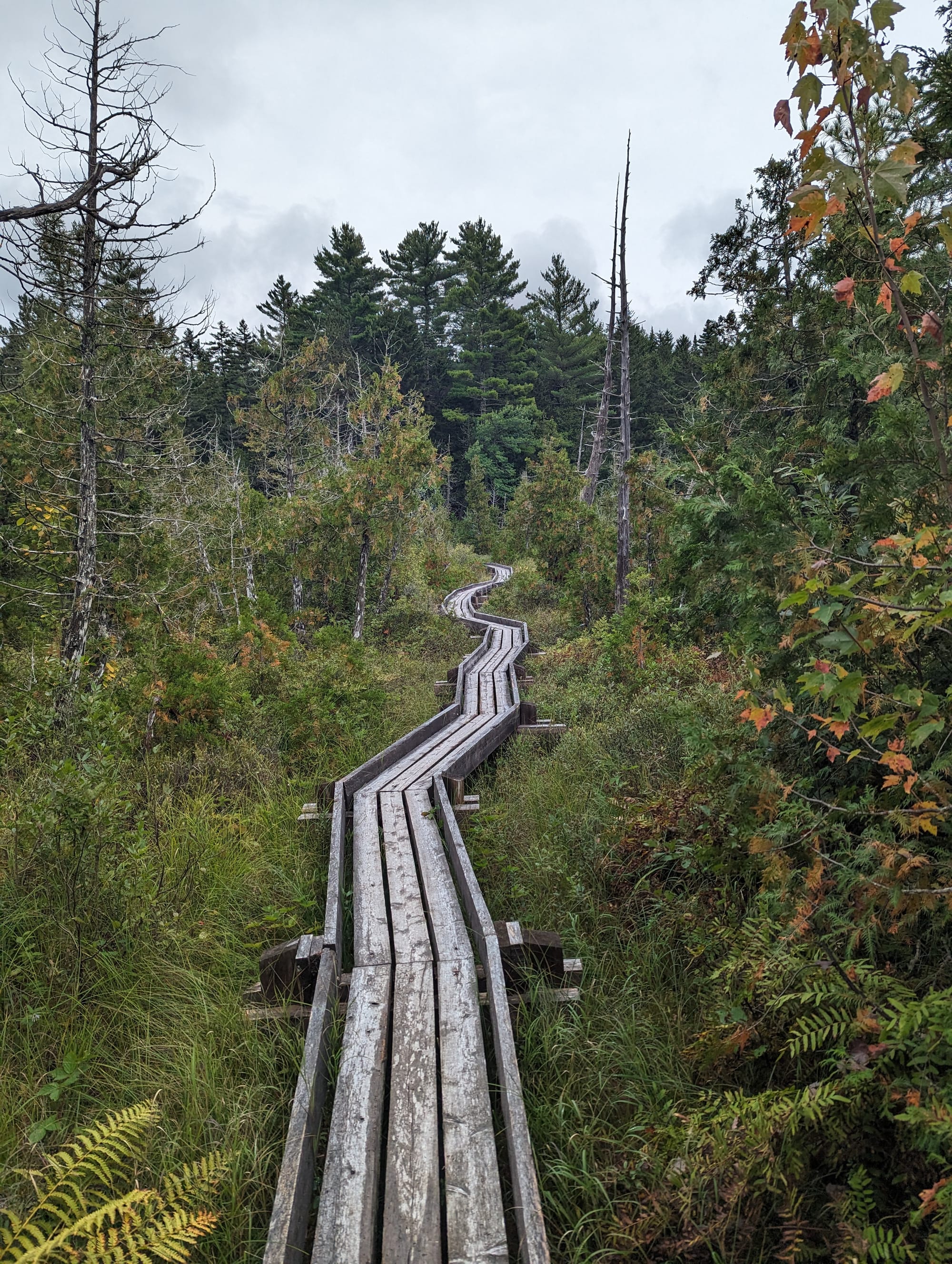
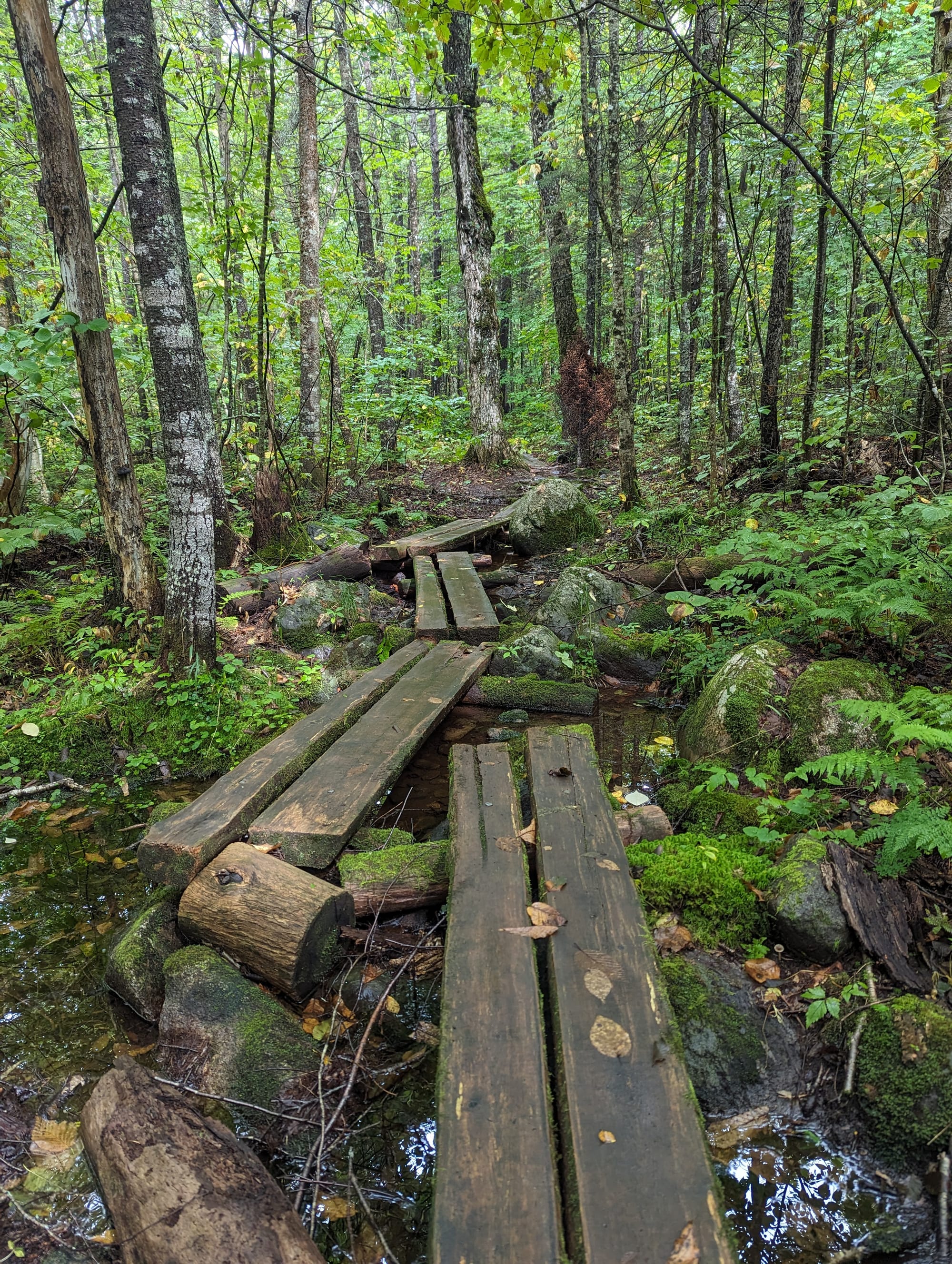
Beyond the Notch, southern Maine continued with steep climbs, rock, roots, ladders, and increasingly frequent bog boards.
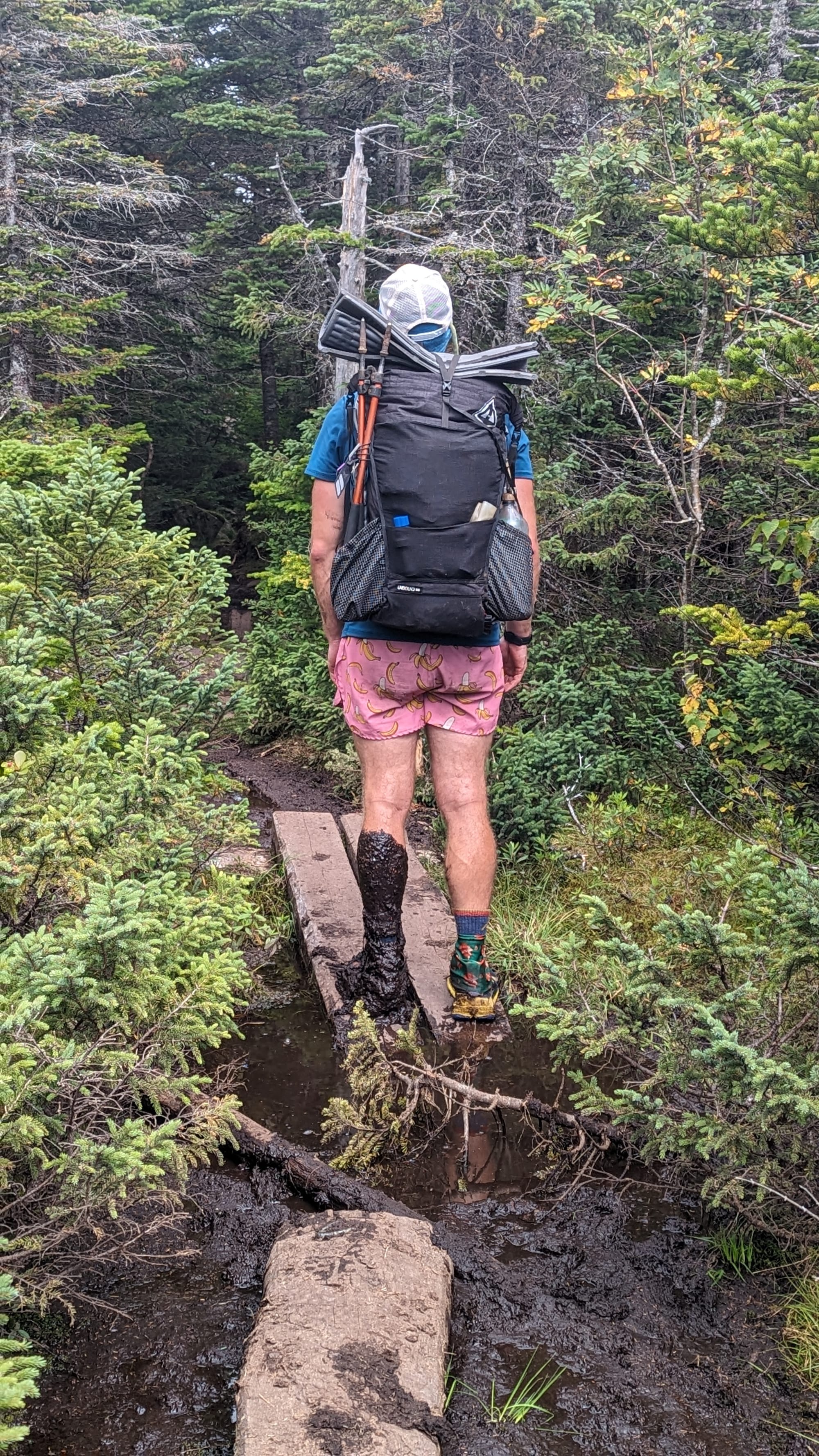
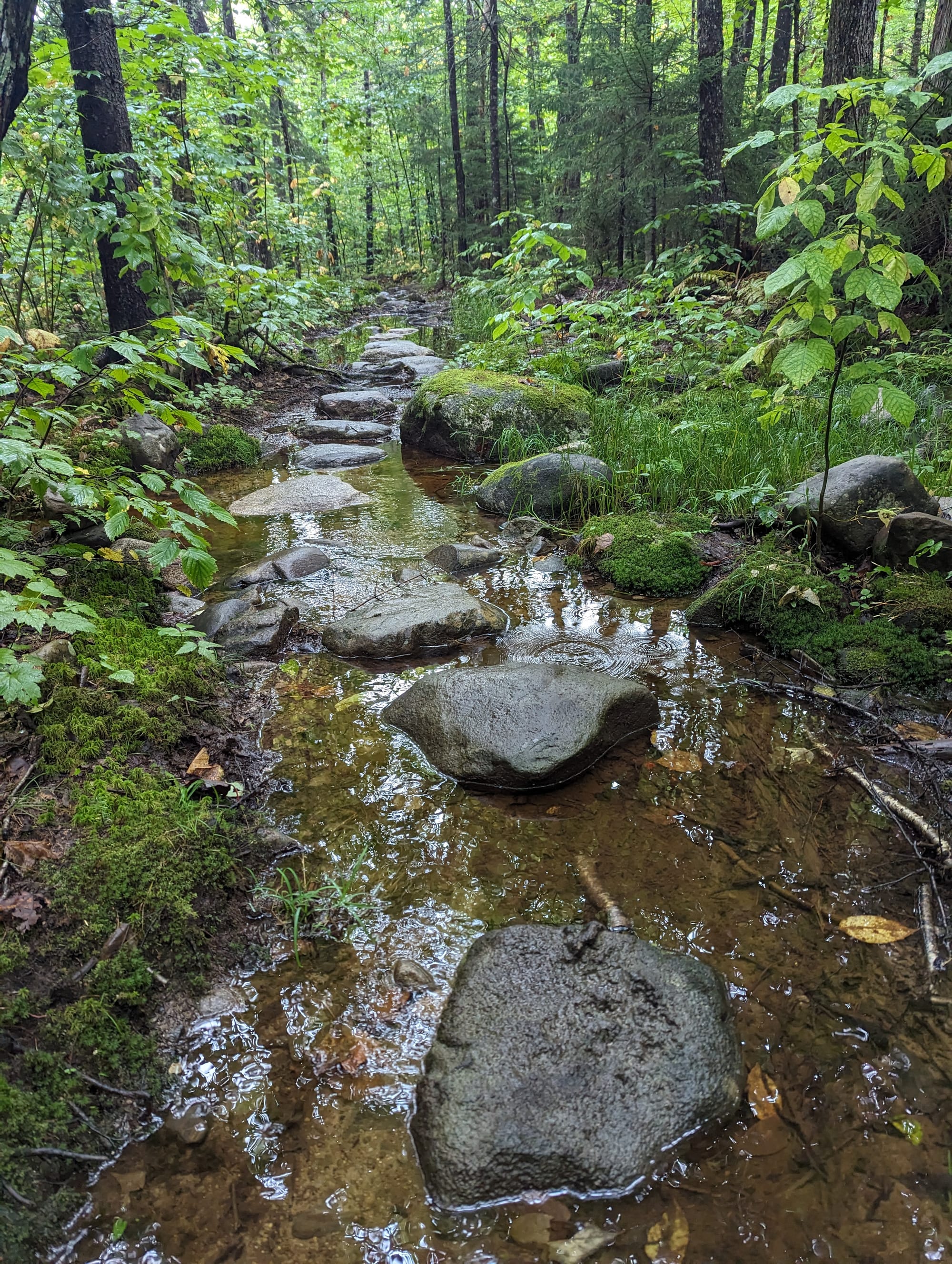
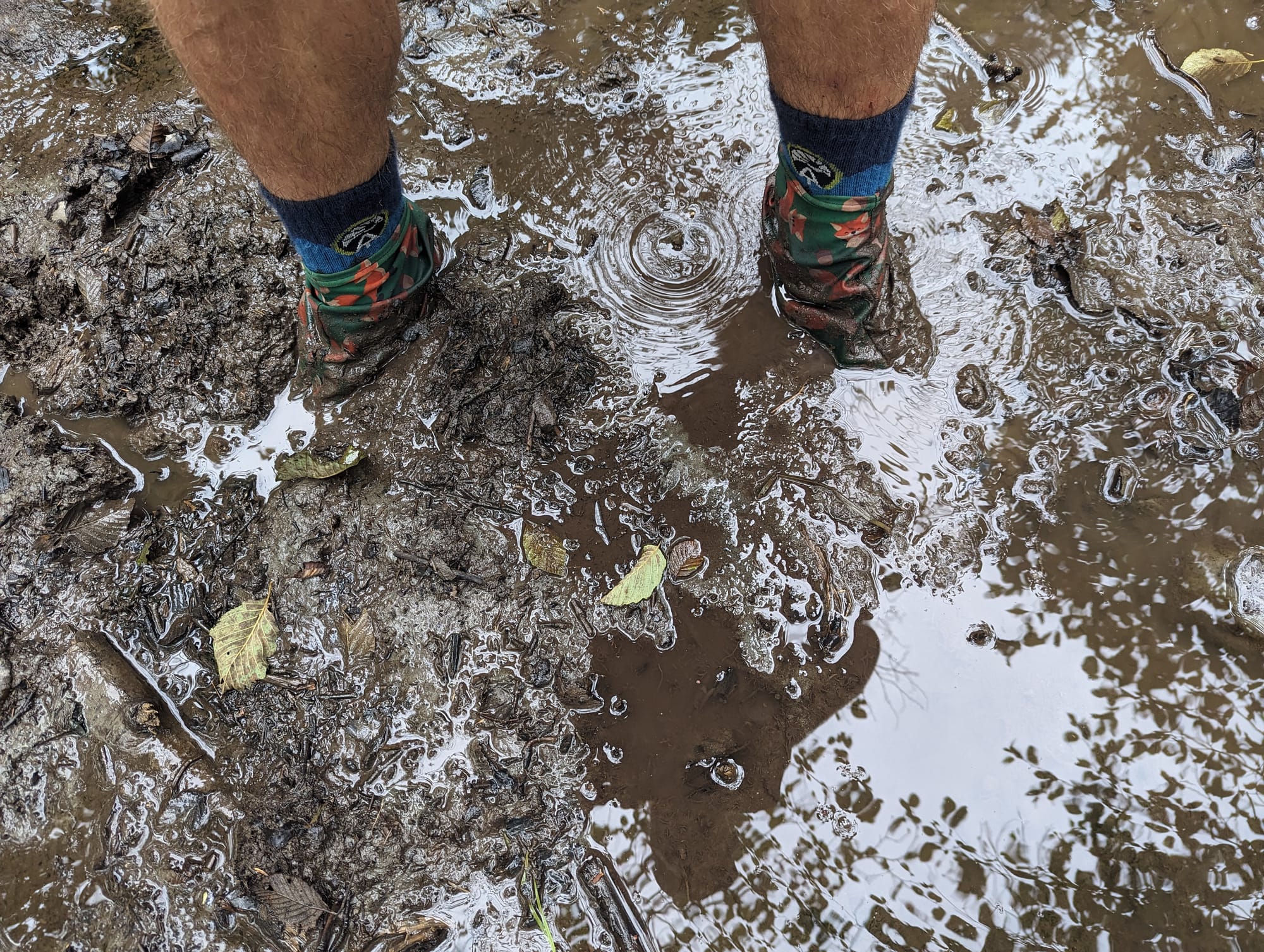
The bogs presented their own problem. What looked like shallow mud beside the boards could be much deeper than expected. I stepped off once and sank past my knee. In other places, I could push a trekking pole into the muck without finding the bottom.
Flat ground did not necessarily mean easy ground.
Western Maine & the High Peaks
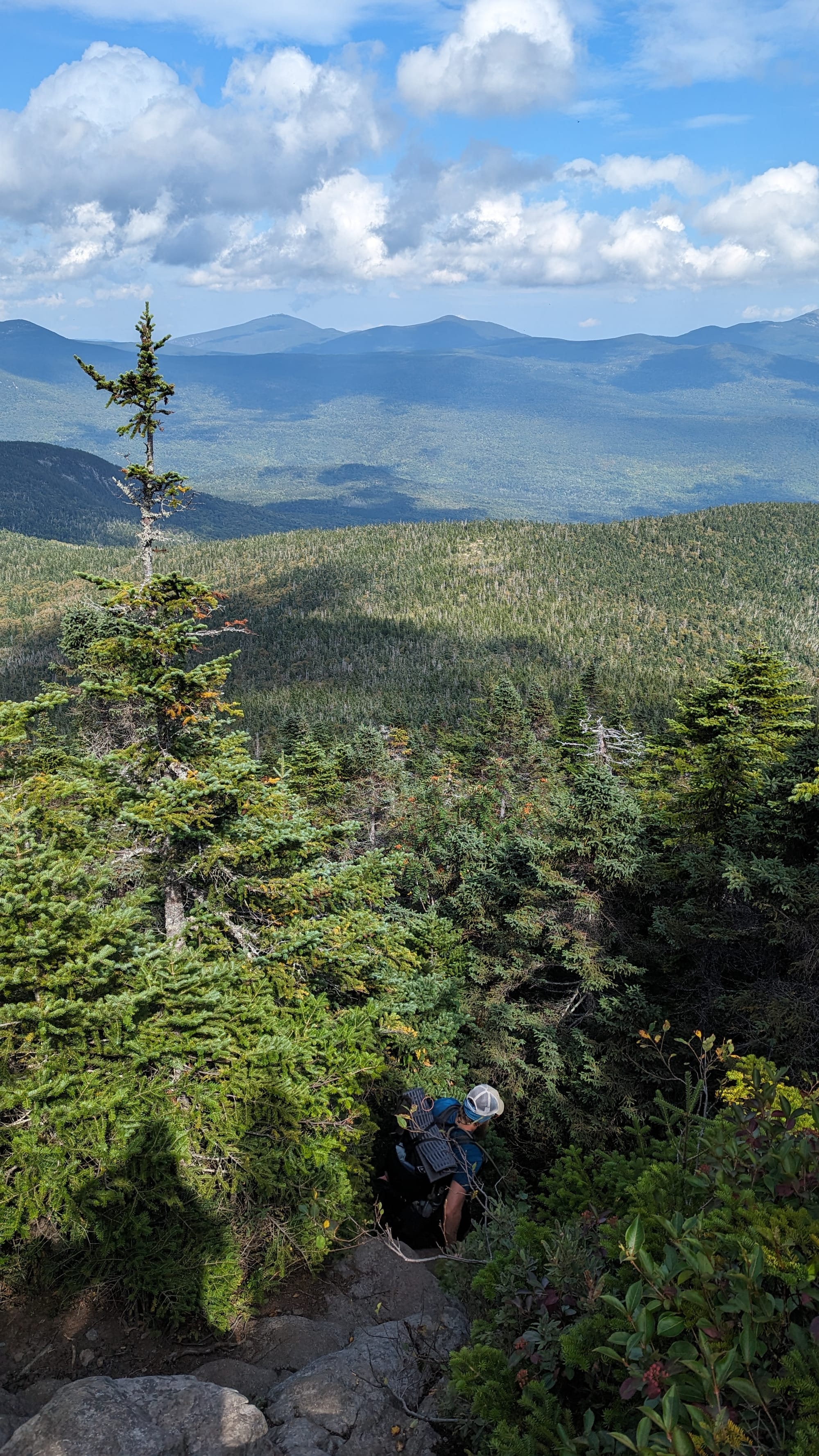
Farther north, the trail moved through the Saddleback Range and into western Maine's higher country.
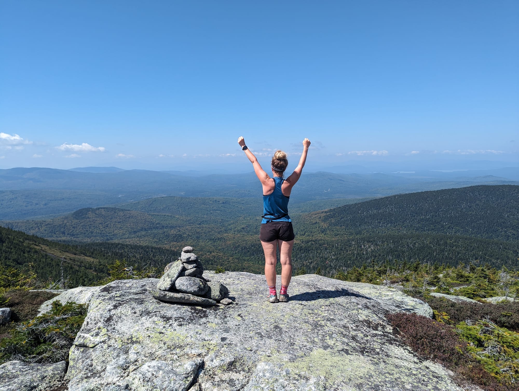
This was some of my favorite mountain terrain of the entire AT.
From the summits, the views stretched across layers of mountains, ponds, and forest. The terrain was still difficult, but the sense of space was different from New Hampshire.
The Whites were rugged but highly accessible. Roads, huts, trailheads, and recreation infrastructure were never very far away.
Maine felt more removed from all of that.
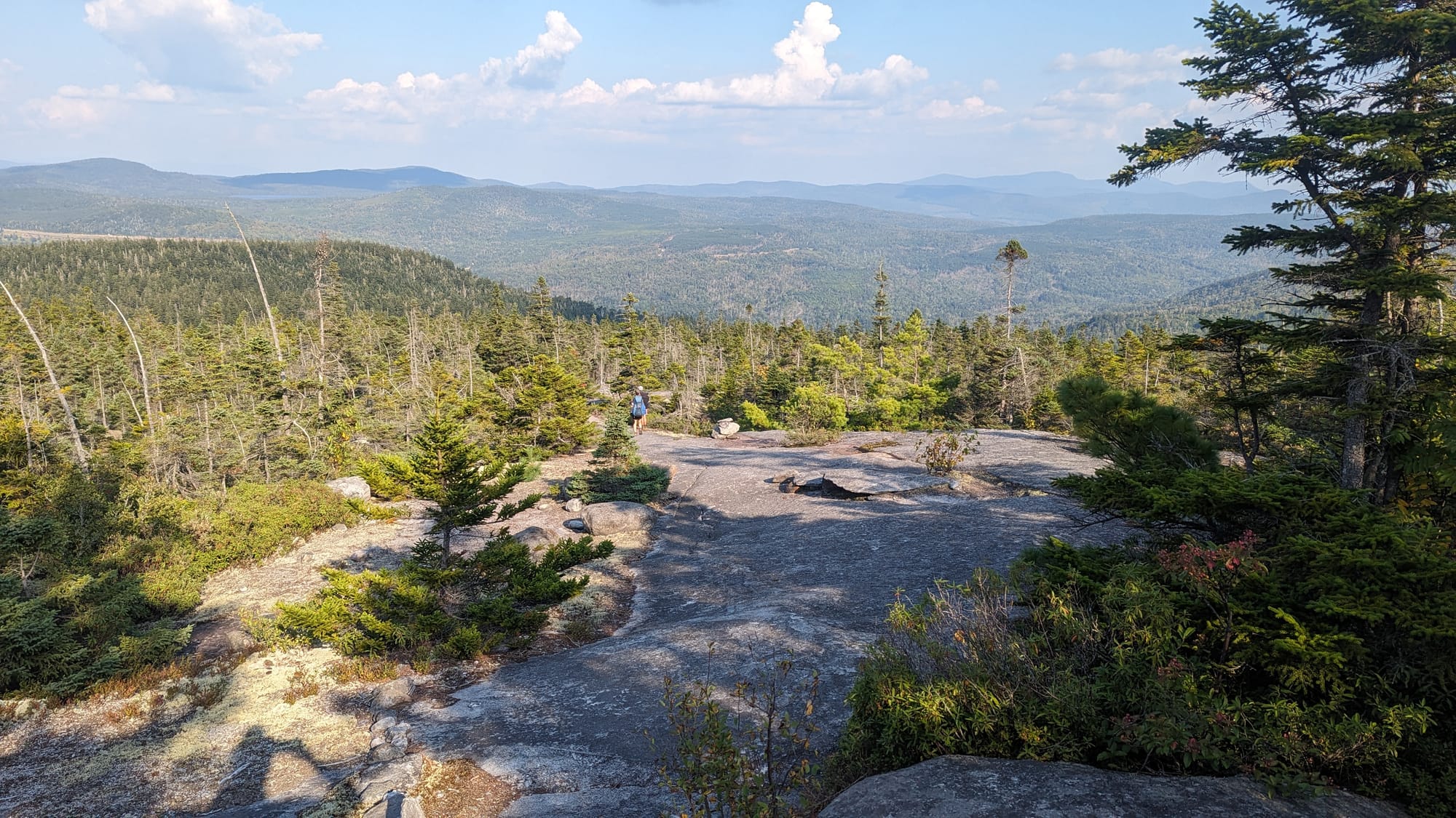
The mountains sat farther from towns and roads. Trail access often required long backroad approaches. Once we were out there, the landscape felt far more removed from civilization.
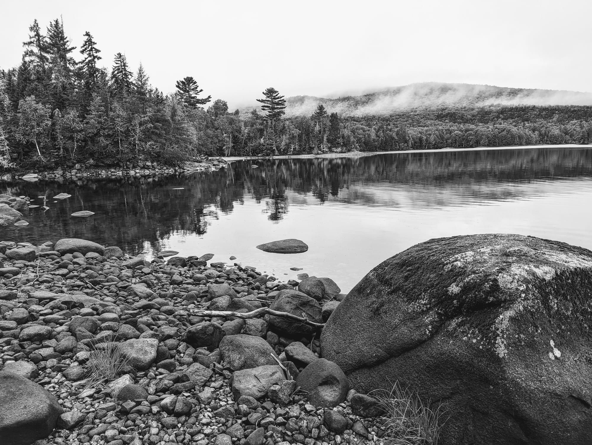
Below the higher ridges, ponds and lakes started appearing more frequently. Campsites sat closer to water. Loons became part of the nighttime soundscape.
I had never really heard them before.
Their calls carried across the lakes after dark, and until I figured out what we were listening to, they sounded strange enough to be quite unsettling.
By the time I recognized them, they had become one of the sounds I associated most closely with Maine.
A Marathon to Monson
The Bigelow Range was one of the last major mountain systems before the trail began dropping into lower country.
There were still mountains, but fewer of them stacked across the horizon. Beyond the Bigelows, the trail increasingly moved through forest, ponds, wetlands, roots, and river valleys.
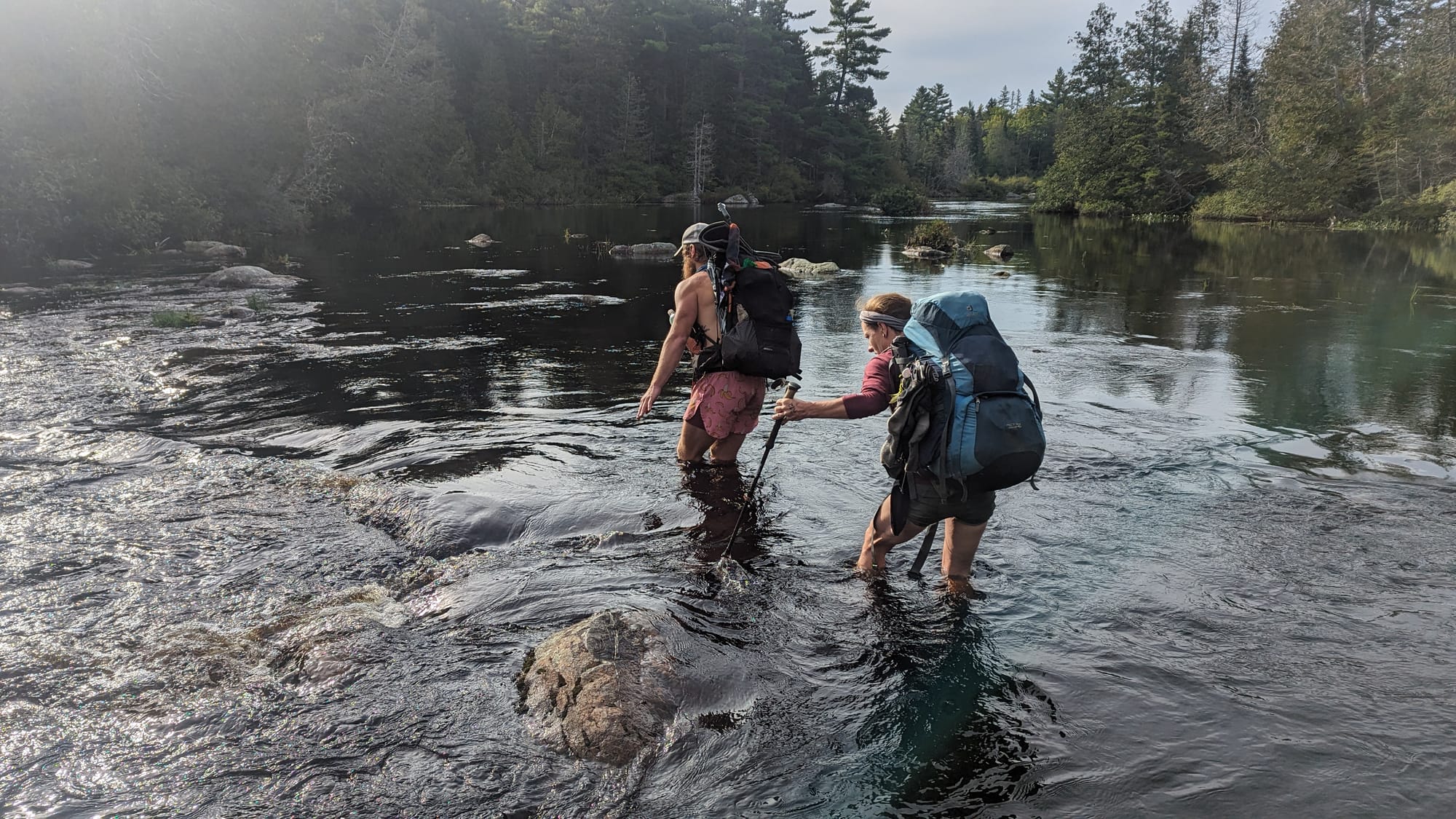
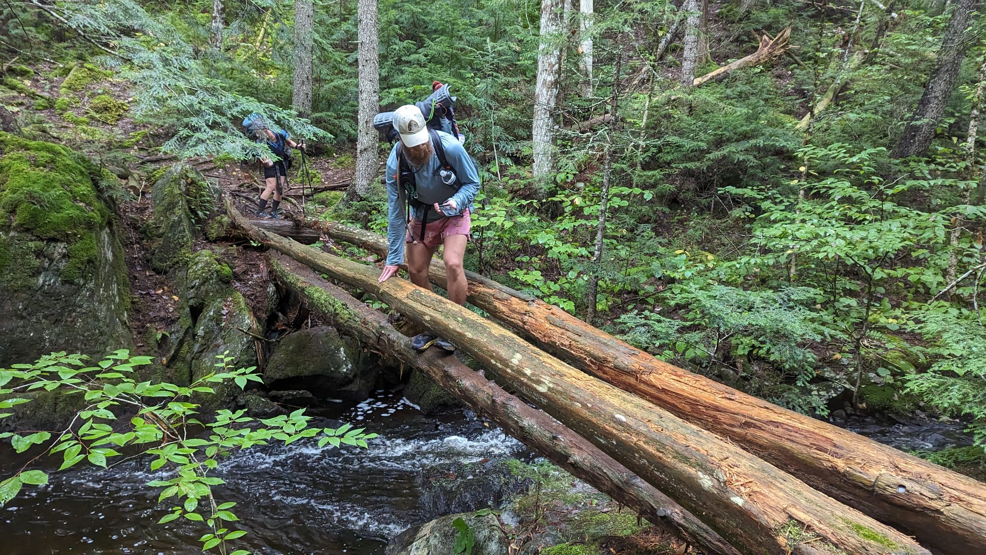
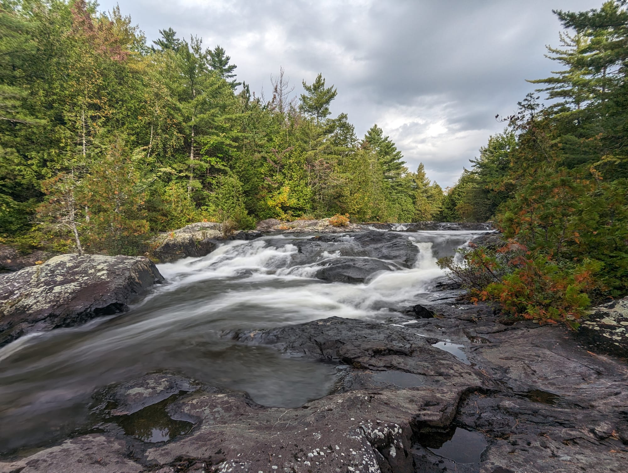
Roots covered long sections of otherwise level trail. Bog boards crossed wet ground. Rivers interrupted the route. Water became as much a part of the landscape as elevation.
The Kennebec River was our largest water crossing.
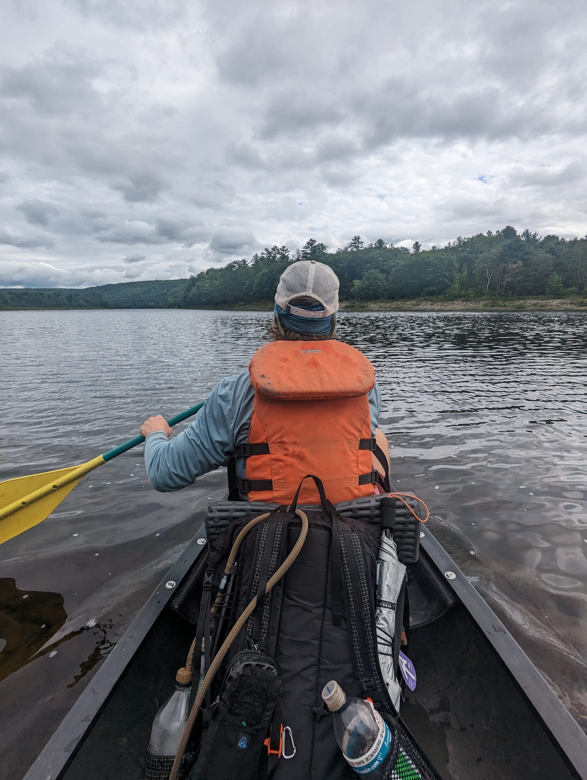
The AT reaches the river and stops. The official route continues by canoe ferry, with hikers crossing a few at a time. We arrived with a group ahead of us and waited on the bank while the canoe worked back and forth.
By then, the major mountain terrain of the southern AT was mostly behind us.
Monson was ahead.
Beyond Monson was the 100-Mile Wilderness and Mount Katahdin.
🥾 On the Trail
- Mileage pattern: mostly 12 to 16-mile days · deliberately slower overall · one 26 mile push into Monson
- Water: frequent ponds, streams, rivers, and wet ground
- Shelter rhythm: shelters and tenting · more hostel zeros
- Trail towns / resupply points: Andover · Stratton · Monson
- Crowd level: fewer day hikers · established thru-hiker groups approaching the finish together
- Best remembered for: Mahoosuc Notch, Saddleback views, bog boards, loons, the Kennebec ferry, and arriving at Shaw's

Trail Rhythm
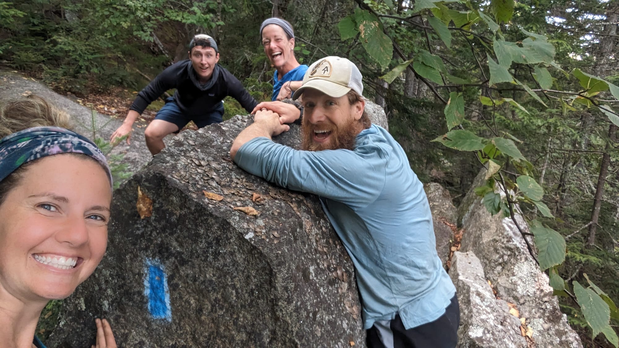
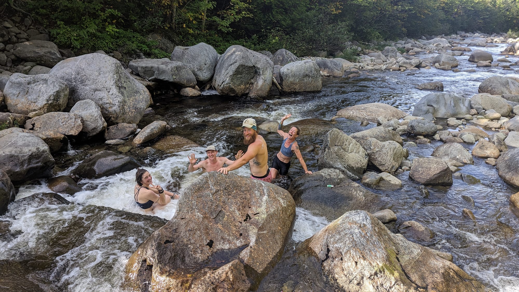
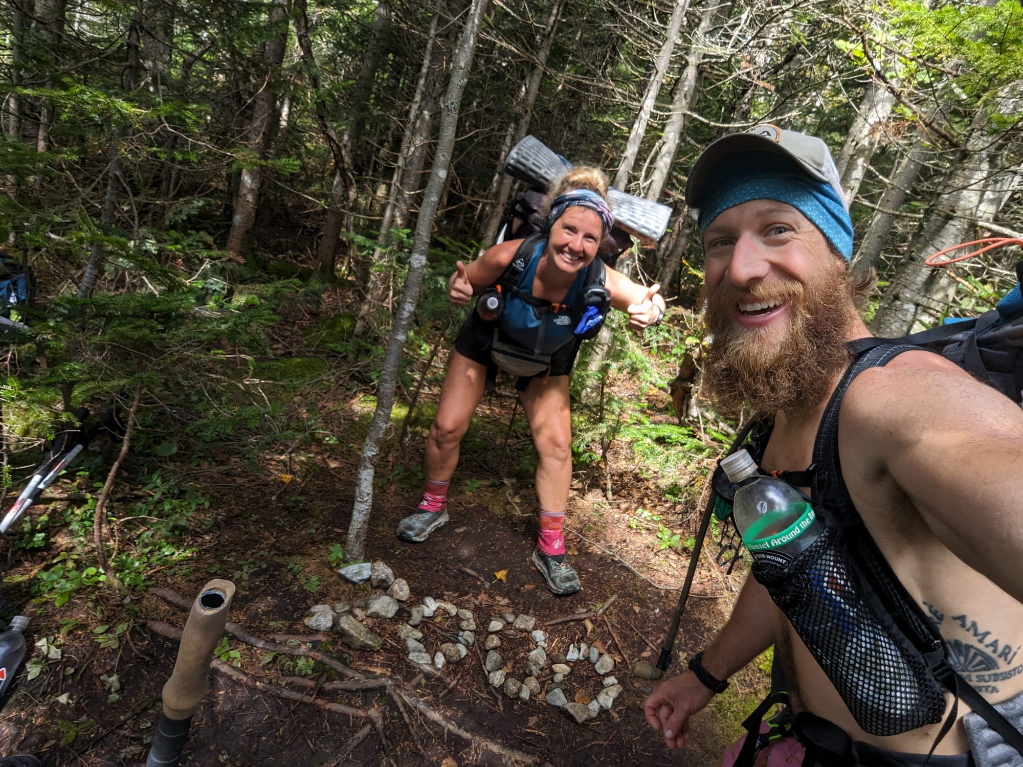
Maine started with the four of us moving together: Sunshine, Bubbles, Pizza Hands, and me.
Mahoosuc Notch was slow, but fun. We climbed over and around boulders, worked through gaps, and spent a lot of time joking about how strange the place would look to somebody dropped into it from normal life.
It felt completely disconnected from anything outside the trail.
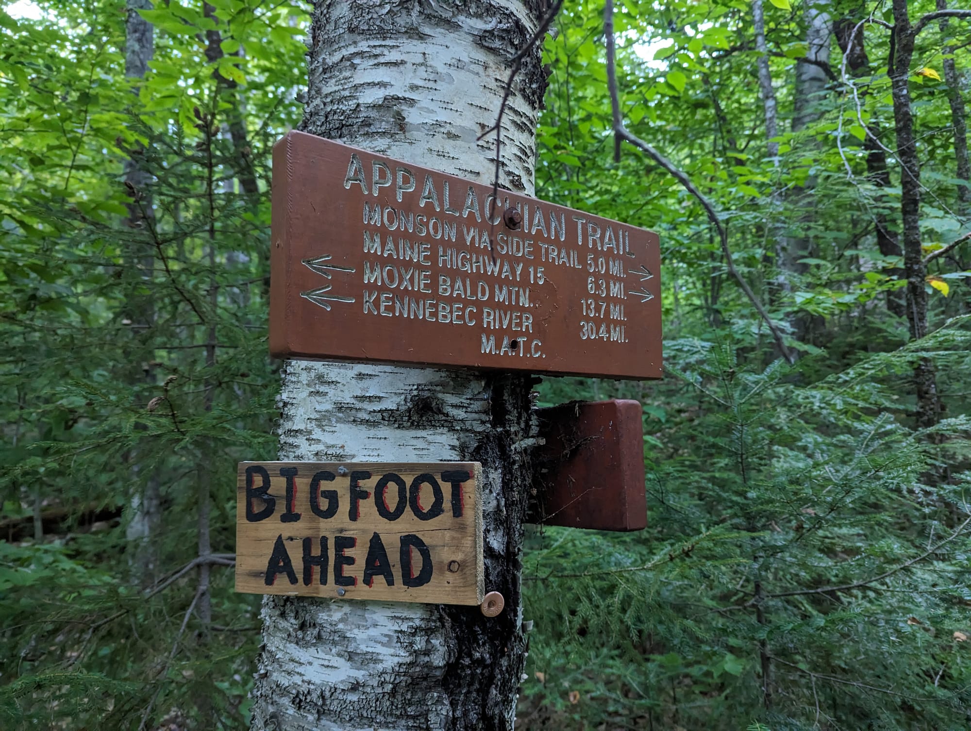
One of our first memorable stops in Maine was The Cabin in Andover. It felt more like staying in someone's house in the woods than checking into a hostel. Inside was a large wooden dining table covered with signatures from generations of hikers.
Sitting around it made the AT feel older than our own hike.
The Maine Roadhouse near Stratton became another good pause before the Bigelows. By then, hostel stops were less about recovery and more about spending time with people we had been seeing for months.
We met a southbound hiker there who had gotten separated from her pack in the 100-Mile Wilderness while trying to find water. She spent days without most of her gear before reaching a road and getting help.
It was a good reminder that Maine's remoteness was not theoretical.
Our mileage stayed mostly in the 12 to 16-mile range. We were still moving well, but we stopped looking for reasons to make days bigger.
The exception came on the way into Monson.
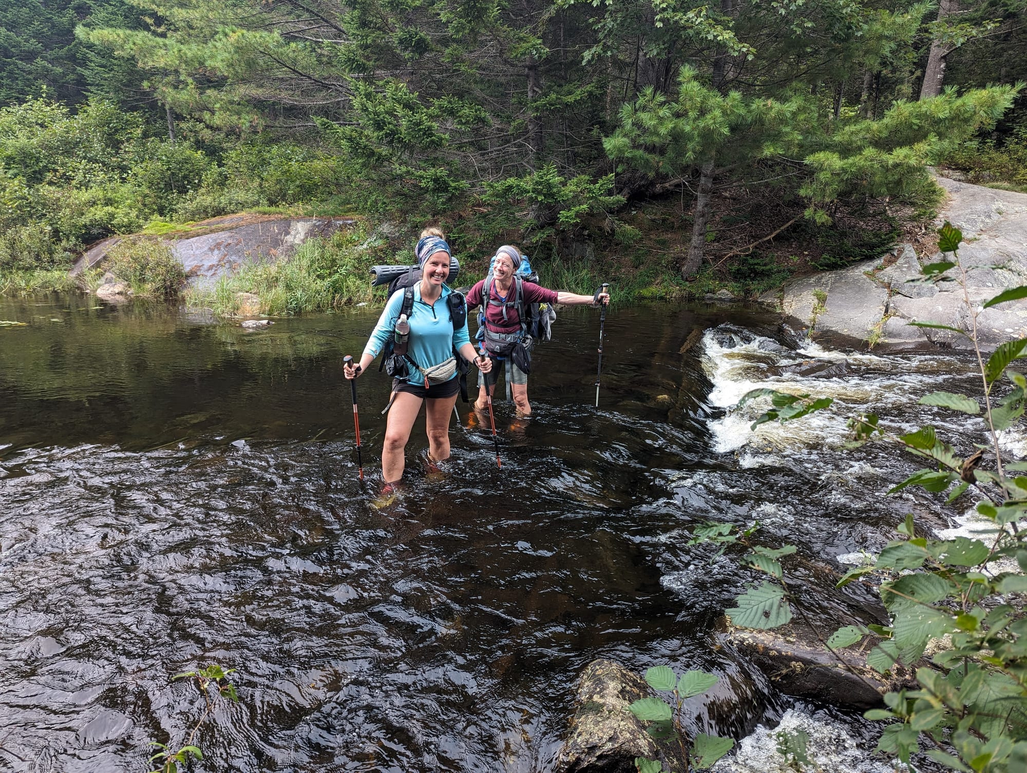
A hurricane was working its way up the East Coast, and we did not want to be outside when the stronger weather reached Maine. We pushed roughly 27 miles that day, including several river crossings, to get ourselves into town ahead of it.
That brought us to Shaw's.
Shaw's Hiker Hostel felt like a gathering point for everyone still moving north.
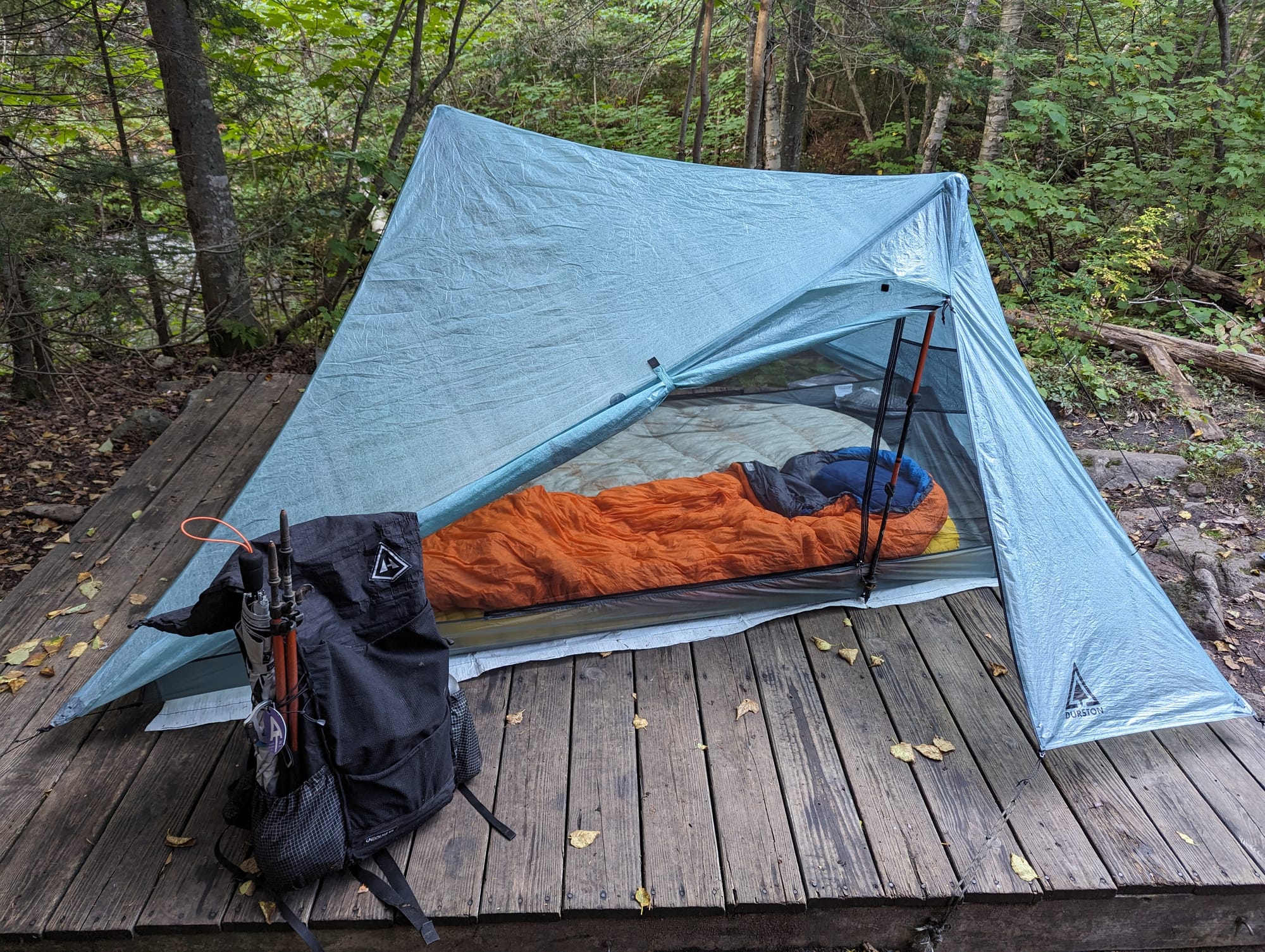
We camped there for a couple of nights, stayed inside for a couple more, rested, waited on weather, replaced gear, and watched people arrive who we had not seen in weeks or months.
Learning Curve was there too.
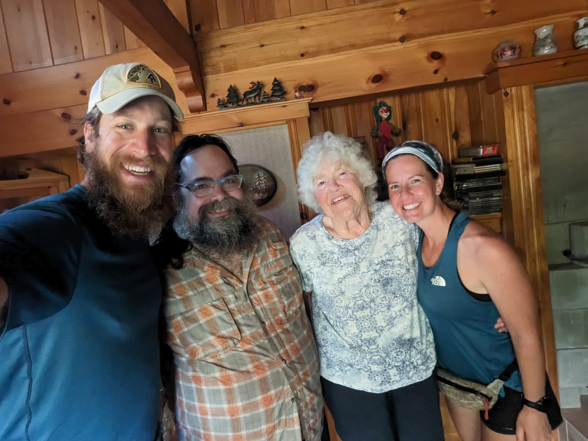
We had first met him near mile 70 at Hostel Around the Bend. We saw him again at Harpers Ferry near the halfway point. Now we were crossing paths one more time in Monson, with almost the entire trail behind us.
That kind of connection had become one of the strangest and best parts of the trail. People could disappear for a thousand miles and somehow walk back into your life at a hostel in Maine.
Shaw's felt almost like a reunion hall for the AT. Conversations around the fire included favorite sections and worst weather. Best towns. People we had met. Things that had gone wrong. Things we would do differently.
I replaced my shoes at Poet's gear shop and bought an alpaca hoodie. Normally, extra weight would have been a consideration.
At that point, there were not many miles left to carry it.
Our resupply boxes were waiting, and Shaw's could arrange a food drop inside the Wilderness. We packed roughly five days to start and planned another five days from the drop.
It was more food than we probably needed.
That was intentional.
⚡ TL;DR
- Section identity: the last major mountain range before the finish
- Hardest part: rugged terrain that stayed slow even after the Whites
- Best part: Mahoosuc Notch, the Saddlebacks, loons, and the gathering of hikers at Shaw's
- Most useful lesson: remoteness changed the character of the trail as much as elevation did
- Place in the larger hike: Katahdin stopped feeling distant and became the next chapter
Final Takeaway
By Monson, Katahdin was no longer a distant idea at the far end of the map.
We had crossed the southern Appalachians, Virginia, the Mid-Atlantic, New England, the Whites, and the mountains of western Maine. We had learned how to handle weather, injuries, bad footing, long days, town stops, gear problems, and the thousand small decisions that make up a thru-hike.
What remained was the 100-Mile Wilderness and the final climb.
For months, every step had been about getting farther north. At Monson, the strange part was realizing there were not many steps left.